Vintage map of amsterdam Stock Photos and Images
(4,927)See vintage map of amsterdam stock video clipsQuick filters:
Vintage map of amsterdam Stock Photos and Images
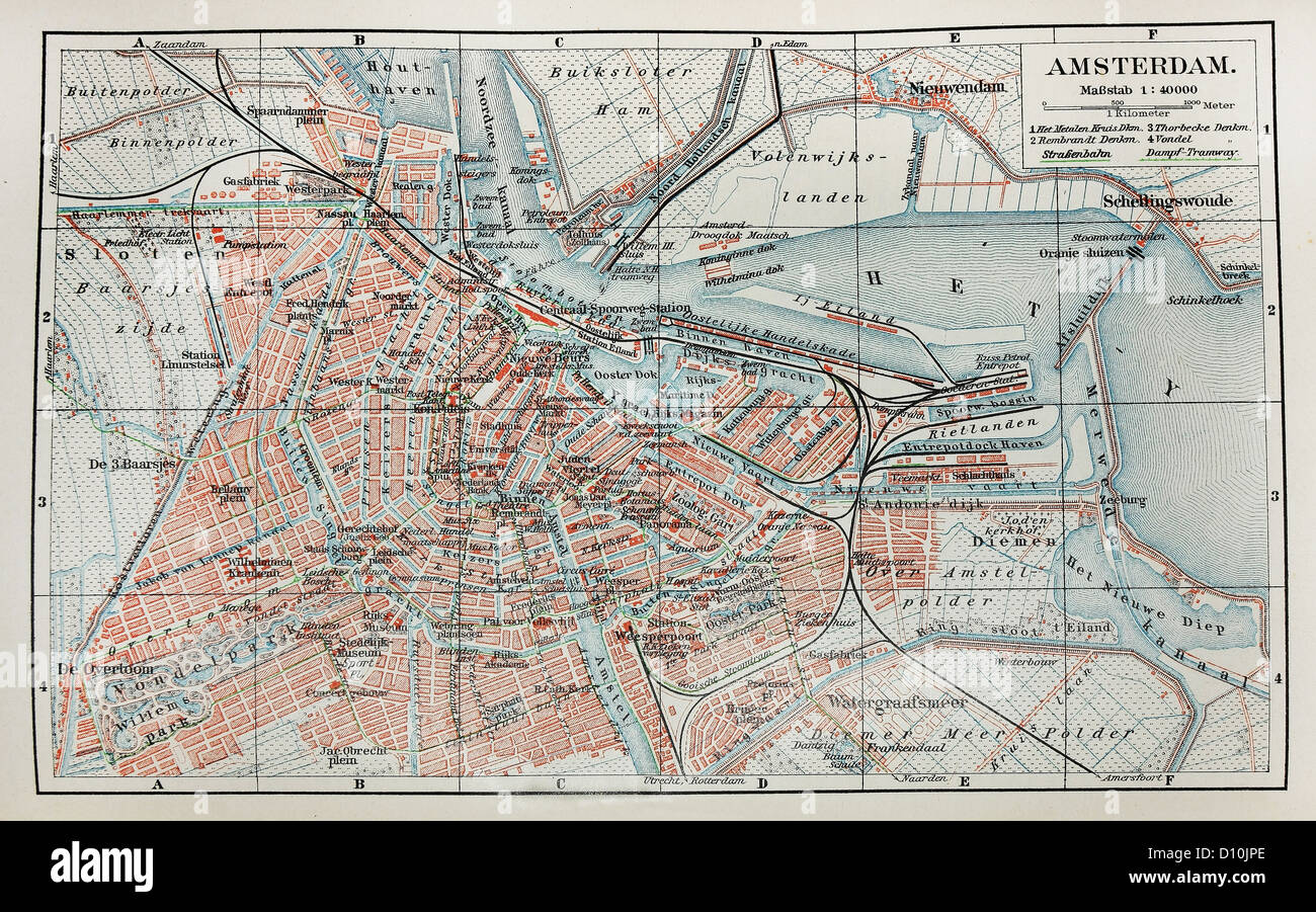 Vintage map of Amsterdam Stock Photohttps://www.alamy.com/image-license-details/?v=1https://www.alamy.com/stock-photo-vintage-map-of-amsterdam-52260502.html
RFD10JPE–Vintage map of Amsterdam
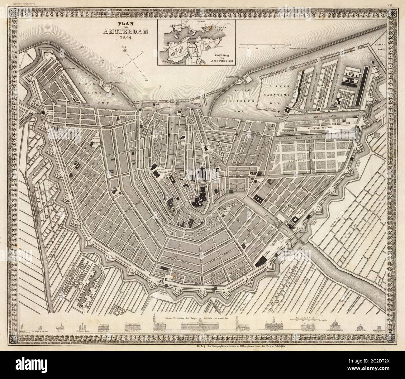 Amsterdam Map, Old Amsterdam Map, Amsterdam Print, Old Holland Map, Holland Map, Holland Map Print, Map of Amsterdam, Old Map of Europe, 1844 Stock Photohttps://www.alamy.com/image-license-details/?v=1https://www.alamy.com/amsterdam-map-old-amsterdam-map-amsterdam-print-old-holland-map-holland-map-holland-map-print-map-of-amsterdam-old-map-of-europe-1844-image431792786.html
RF2G2DT2X–Amsterdam Map, Old Amsterdam Map, Amsterdam Print, Old Holland Map, Holland Map, Holland Map Print, Map of Amsterdam, Old Map of Europe, 1844
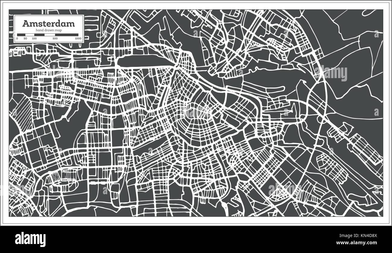 Amsterdam Holland Map in Retro Style. Vector Illustration. Outline Map. Stock Vectorhttps://www.alamy.com/image-license-details/?v=1https://www.alamy.com/stock-image-amsterdam-holland-map-in-retro-style-vector-illustration-outline-map-167899338.html
RFKN4D8X–Amsterdam Holland Map in Retro Style. Vector Illustration. Outline Map.
 Amsterdam Map with written headline. Travel the world concept vector image for digital marketing and poster prints. Stock Vectorhttps://www.alamy.com/image-license-details/?v=1https://www.alamy.com/amsterdam-map-with-written-headline-travel-the-world-concept-vector-image-for-digital-marketing-and-poster-prints-image180135457.html
RFMD1TH5–Amsterdam Map with written headline. Travel the world concept vector image for digital marketing and poster prints.
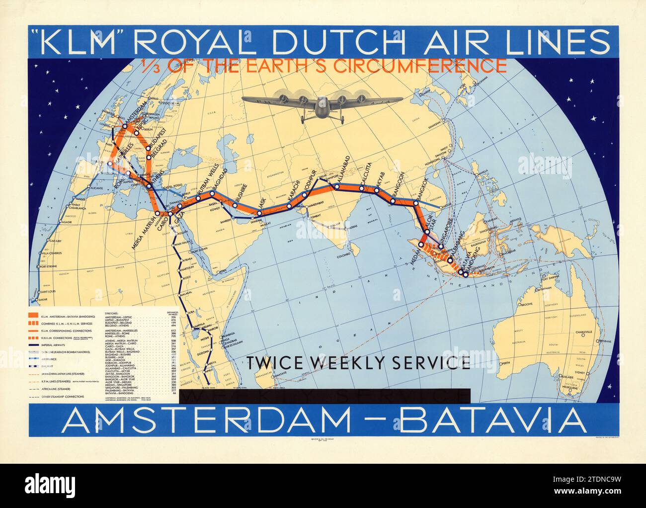 KLM Royal Dutch Airlines Amsterdam-Batavia Weekly Service 1934 - Airline poster with a map of the world. Stock Photohttps://www.alamy.com/image-license-details/?v=1https://www.alamy.com/klm-royal-dutch-airlines-amsterdam-batavia-weekly-service-1934-airline-poster-with-a-map-of-the-world-image576403349.html
RM2TDNC9W–KLM Royal Dutch Airlines Amsterdam-Batavia Weekly Service 1934 - Airline poster with a map of the world.
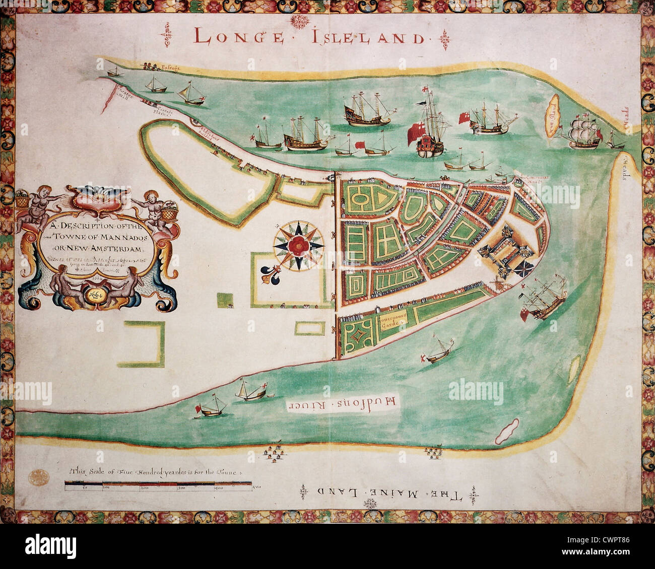 New York old map Stock Photohttps://www.alamy.com/image-license-details/?v=1https://www.alamy.com/stock-photo-new-york-old-map-50289126.html
RFCWPT86–New York old map
 Red toy car drove into Amsterdam, Netherlands. Stock Photohttps://www.alamy.com/image-license-details/?v=1https://www.alamy.com/red-toy-car-drove-into-amsterdam-netherlands-image629687508.html
RF2YGCMRG–Red toy car drove into Amsterdam, Netherlands.
 Netherlands 3d map textured with a Dutch flag Stock Photohttps://www.alamy.com/image-license-details/?v=1https://www.alamy.com/netherlands-3d-map-textured-with-a-dutch-flag-image388679472.html
RF2DG9THM–Netherlands 3d map textured with a Dutch flag
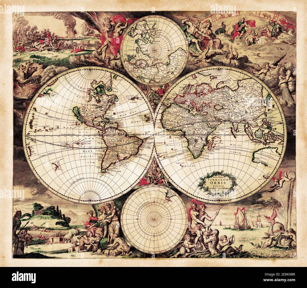 Decorative Antique World Map by Gerardus van Schagen, 1689. Engraved and hand-colored. Latin text Nova Totius Terrarium Orbis Tabula Stock Photohttps://www.alamy.com/image-license-details/?v=1https://www.alamy.com/decorative-antique-world-map-by-gerardus-van-schagen-1689-engraved-and-hand-colored-latin-text-nova-totius-terrarium-orbis-tabula-image401173131.html
RF2E8K0BR–Decorative Antique World Map by Gerardus van Schagen, 1689. Engraved and hand-colored. Latin text Nova Totius Terrarium Orbis Tabula
 Netherlands Map on retro poster with long shadow. Vintage sign easy to edit, manipulate, resize or colourise. Stock Vectorhttps://www.alamy.com/image-license-details/?v=1https://www.alamy.com/netherlands-map-on-retro-poster-with-long-shadow-vintage-sign-easy-to-edit-manipulate-resize-or-colourise-image471376171.html
RF2JAW137–Netherlands Map on retro poster with long shadow. Vintage sign easy to edit, manipulate, resize or colourise.
 Vintage map of Netherlands on grunge paper Stock Photohttps://www.alamy.com/image-license-details/?v=1https://www.alamy.com/stock-photo-vintage-map-of-netherlands-on-grunge-paper-49098291.html
RFCRTHAB–Vintage map of Netherlands on grunge paper
 Old map of America. By Blaeu, publ. in Amsterdam, 1635 Stock Photohttps://www.alamy.com/image-license-details/?v=1https://www.alamy.com/old-map-of-america-by-blaeu-publ-in-amsterdam-1635-image574211650.html
RF2TA5GPX–Old map of America. By Blaeu, publ. in Amsterdam, 1635
 Female finger pointing to a point on the public map of Amsterdam. Stock Photohttps://www.alamy.com/image-license-details/?v=1https://www.alamy.com/female-finger-pointing-to-a-point-on-the-public-map-of-amsterdam-image402372157.html
RF2EAHHP5–Female finger pointing to a point on the public map of Amsterdam.
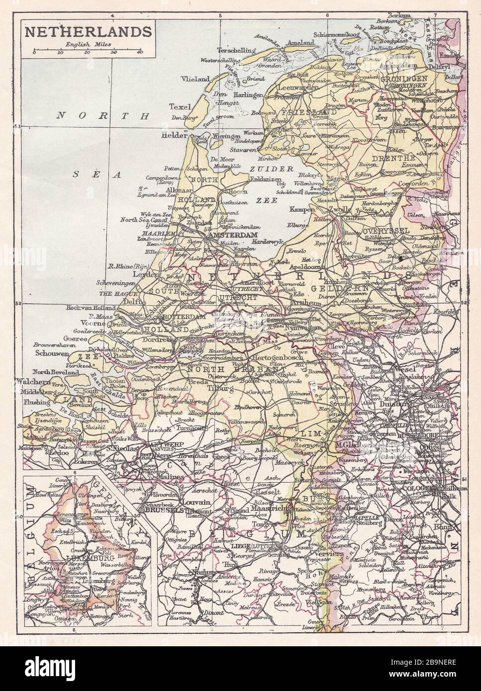 Vintage map of Netherlands 1900s. Stock Photohttps://www.alamy.com/image-license-details/?v=1https://www.alamy.com/vintage-map-of-netherlands-1900s-image350211890.html
RF2B9NERE–Vintage map of Netherlands 1900s.
 Netherlands Houses, Amsterdam traditional colorful homes, architecture illustrations Stock Vectorhttps://www.alamy.com/image-license-details/?v=1https://www.alamy.com/netherlands-houses-amsterdam-traditional-colorful-homes-architecture-illustrations-image452807179.html
RF2H8K44Y–Netherlands Houses, Amsterdam traditional colorful homes, architecture illustrations
 Antique French Map from Nouvel Atlas Classique C: 1869. Selective Focus on Amsterdam. Stock Photohttps://www.alamy.com/image-license-details/?v=1https://www.alamy.com/stock-photo-antique-french-map-from-nouvel-atlas-classique-c-1869-selective-focus-78398171.html
RFEFF9JK–Antique French Map from Nouvel Atlas Classique C: 1869. Selective Focus on Amsterdam.
 some very old grunge map of netherlands with flag on map of europe Stock Photohttps://www.alamy.com/image-license-details/?v=1https://www.alamy.com/stock-photo-some-very-old-grunge-map-of-netherlands-with-flag-on-map-of-europe-123339575.html
RFH4JGTR–some very old grunge map of netherlands with flag on map of europe
 Map of the Second Muiderpoort in Amsterdam, Caspar Jacobsz. Philips, after Cornelis Rauws, 1771 Map of the Second Muiderpoort in Amsterdam. Stock Photohttps://www.alamy.com/image-license-details/?v=1https://www.alamy.com/map-of-the-second-muiderpoort-in-amsterdam-caspar-jacobsz-philips-after-cornelis-rauws-1771-map-of-the-second-muiderpoort-in-amsterdam-image570306625.html
RF2T3RKWN–Map of the Second Muiderpoort in Amsterdam, Caspar Jacobsz. Philips, after Cornelis Rauws, 1771 Map of the Second Muiderpoort in Amsterdam.
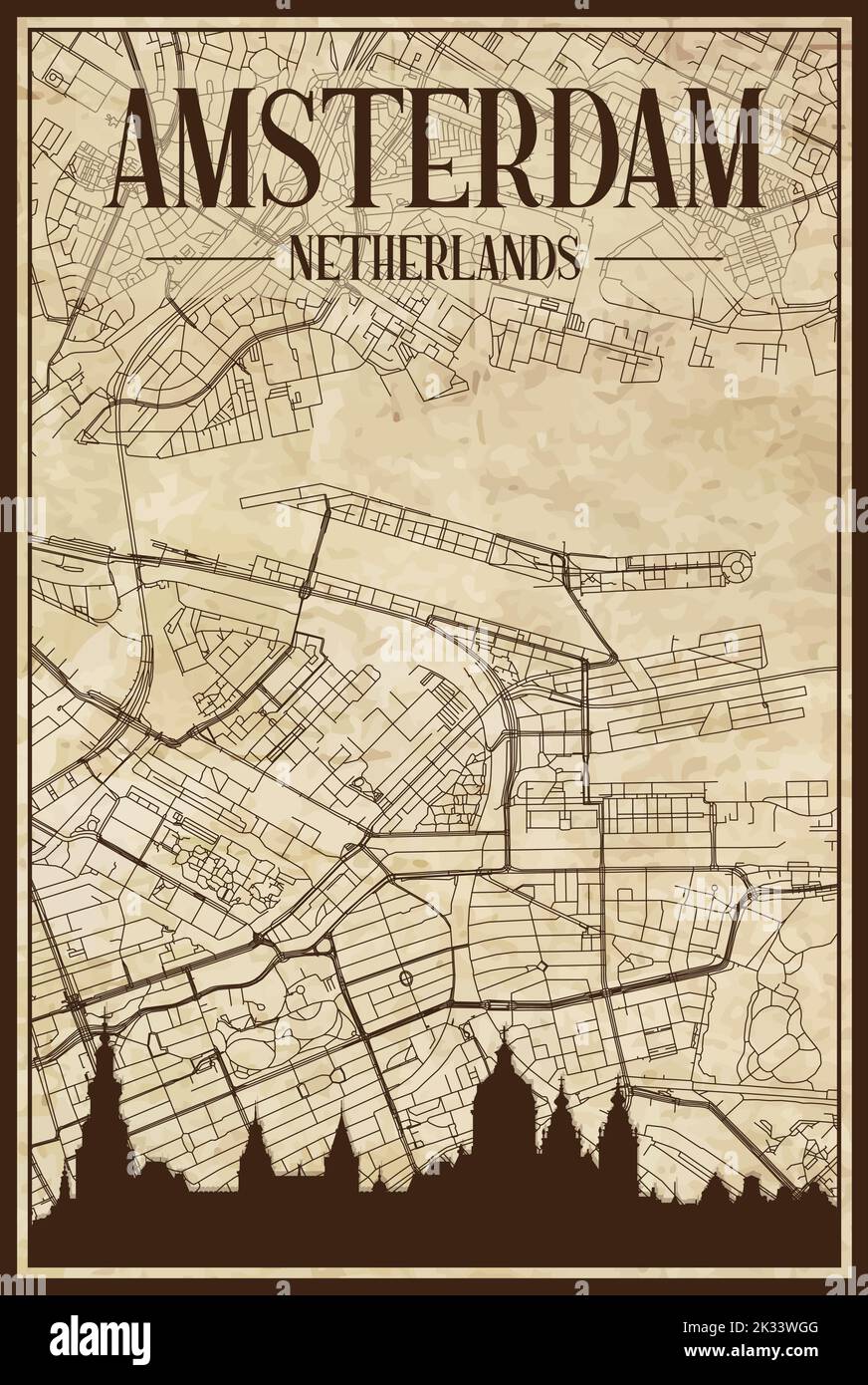 Brown vintage hand-drawn printout streets network map of the downtown AMSTERDAM, NETHERLANDS with brown city skyline and lettering Stock Vectorhttps://www.alamy.com/image-license-details/?v=1https://www.alamy.com/brown-vintage-hand-drawn-printout-streets-network-map-of-the-downtown-amsterdam-netherlands-with-brown-city-skyline-and-lettering-image483820192.html
RF2K33WGG–Brown vintage hand-drawn printout streets network map of the downtown AMSTERDAM, NETHERLANDS with brown city skyline and lettering
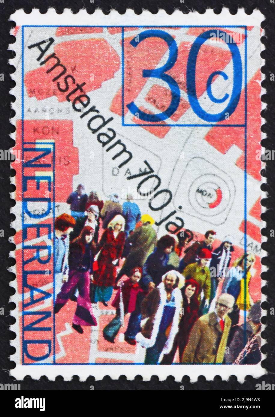 NETHERLANDS - CIRCA 1975: a stamp printed in the Netherlands shows People and Map of Dam Square, 700th anniversary of Amsterdam, circa 1975 Stock Photohttps://www.alamy.com/image-license-details/?v=1https://www.alamy.com/netherlands-circa-1975-a-stamp-printed-in-the-netherlands-shows-people-and-map-of-dam-square-700th-anniversary-of-amsterdam-circa-1975-image470676676.html
RF2J9N4W8–NETHERLANDS - CIRCA 1975: a stamp printed in the Netherlands shows People and Map of Dam Square, 700th anniversary of Amsterdam, circa 1975
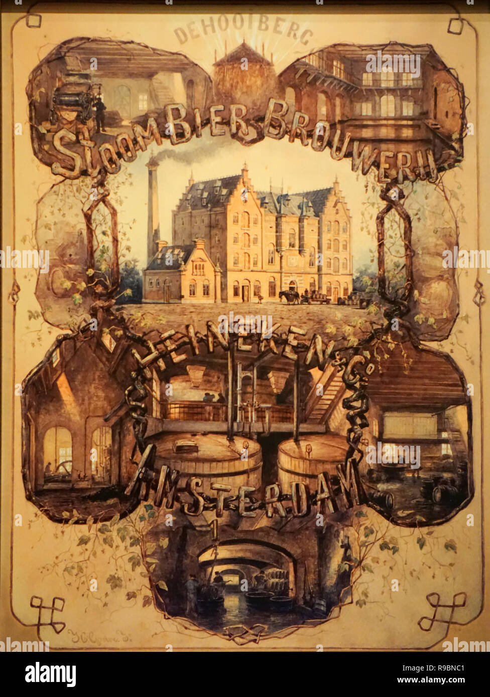 Heineken Experience Stock Photohttps://www.alamy.com/image-license-details/?v=1https://www.alamy.com/heineken-experience-image229524961.html
RFR9BNC1–Heineken Experience
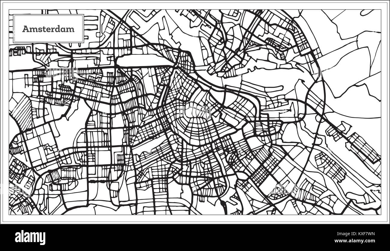 Amsterdam Holland Map in Black and White Color. Vector Illustration. Outline Map. Stock Vectorhttps://www.alamy.com/image-license-details/?v=1https://www.alamy.com/stock-photo-amsterdam-holland-map-in-black-and-white-color-vector-illustration-171209857.html
RFKXF7WN–Amsterdam Holland Map in Black and White Color. Vector Illustration. Outline Map.
 Tourist in the Amsterdam park, early morning Stock Photohttps://www.alamy.com/image-license-details/?v=1https://www.alamy.com/tourist-in-the-amsterdam-park-early-morning-image69164316.html
RFE0EKP4–Tourist in the Amsterdam park, early morning
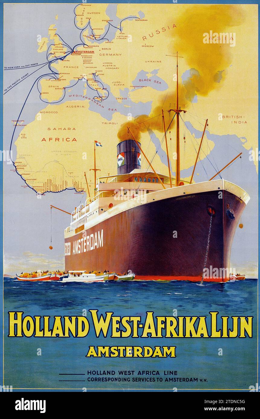 1926 Holland West-Afrika Lijn featuring a Steamship - vintage travel poster - Amsterdam, Holland West Africa Line, cruiser, liner ship Stock Photohttps://www.alamy.com/image-license-details/?v=1https://www.alamy.com/1926-holland-west-afrika-lijn-featuring-a-steamship-vintage-travel-poster-amsterdam-holland-west-africa-line-cruiser-liner-ship-image576403228.html
RM2TDNC5G–1926 Holland West-Afrika Lijn featuring a Steamship - vintage travel poster - Amsterdam, Holland West Africa Line, cruiser, liner ship
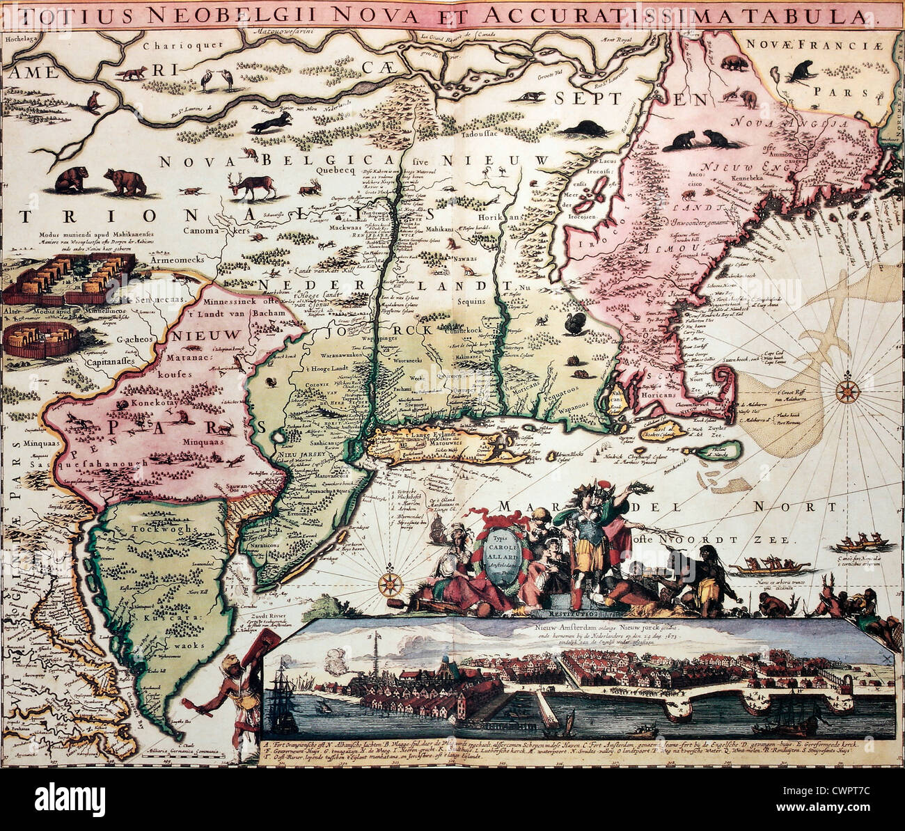 New England old map Stock Photohttps://www.alamy.com/image-license-details/?v=1https://www.alamy.com/stock-photo-new-england-old-map-50289104.html
RFCWPT7C–New England old map
 Netherlands Flag Between Traveler's Accessories on Old Vintage Map. Tourist Destination Concept. Stock Photohttps://www.alamy.com/image-license-details/?v=1https://www.alamy.com/netherlands-flag-between-travelers-accessories-on-old-vintage-map-tourist-destination-concept-image335817061.html
RF2AE9P2D–Netherlands Flag Between Traveler's Accessories on Old Vintage Map. Tourist Destination Concept.
 Woman with watching a map in a train station Stock Photohttps://www.alamy.com/image-license-details/?v=1https://www.alamy.com/stock-photo-woman-with-watching-a-map-in-a-train-station-148425128.html
RFJHD9NC–Woman with watching a map in a train station
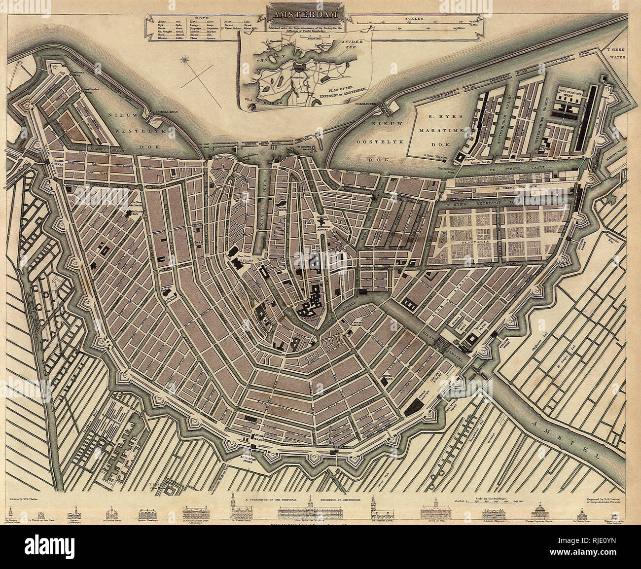 Map of Amsterdam. Stock Photohttps://www.alamy.com/image-license-details/?v=1https://www.alamy.com/map-of-amsterdam-image235106697.html
RMRJE0YN–Map of Amsterdam.
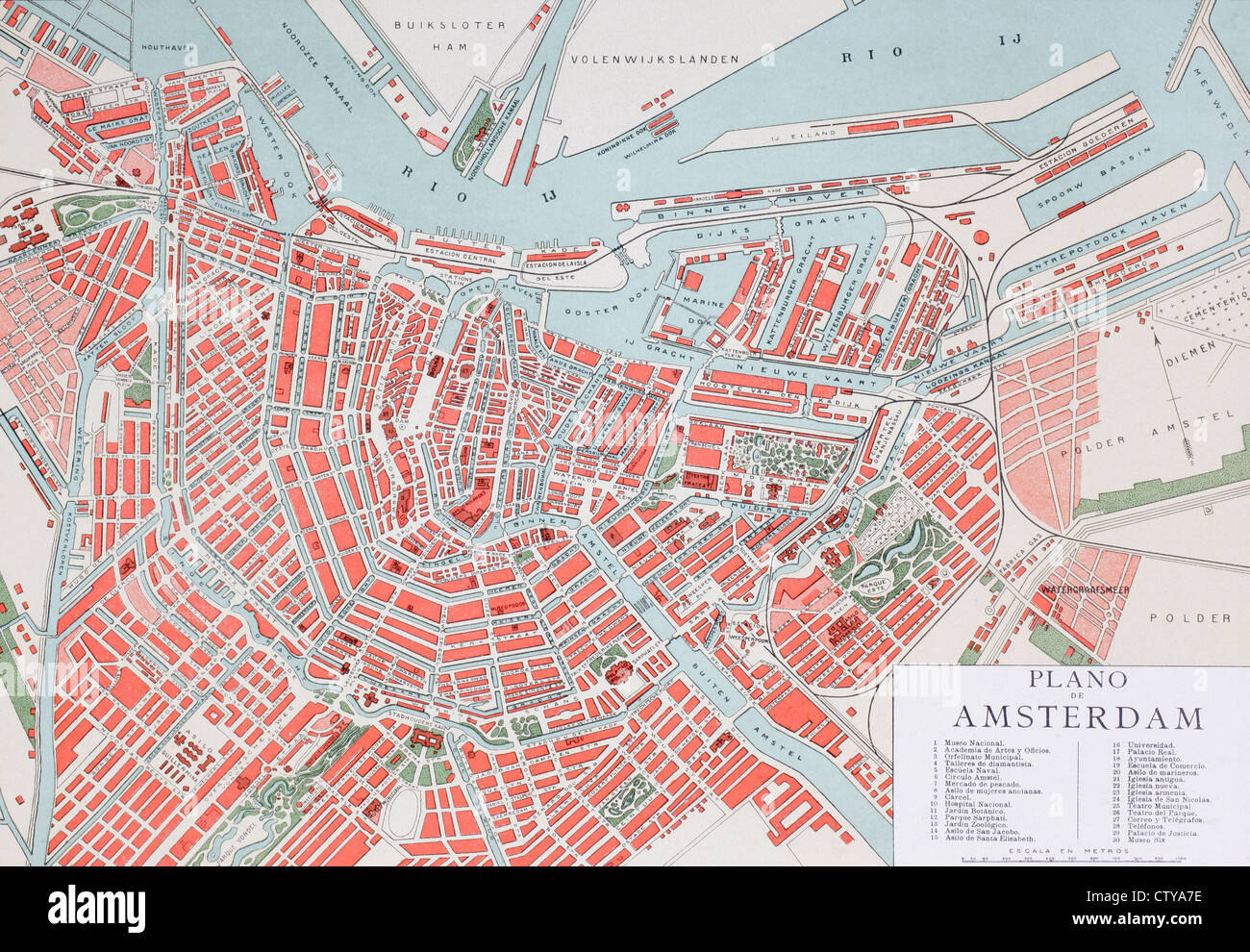 Plan of Amsterdam, Holland, at the turn of the 20th century. Map is edited in Spanish language. Stock Photohttps://www.alamy.com/image-license-details/?v=1https://www.alamy.com/stock-photo-plan-of-amsterdam-holland-at-the-turn-of-the-20th-century-map-is-edited-49773234.html
RMCTYA7E–Plan of Amsterdam, Holland, at the turn of the 20th century. Map is edited in Spanish language.
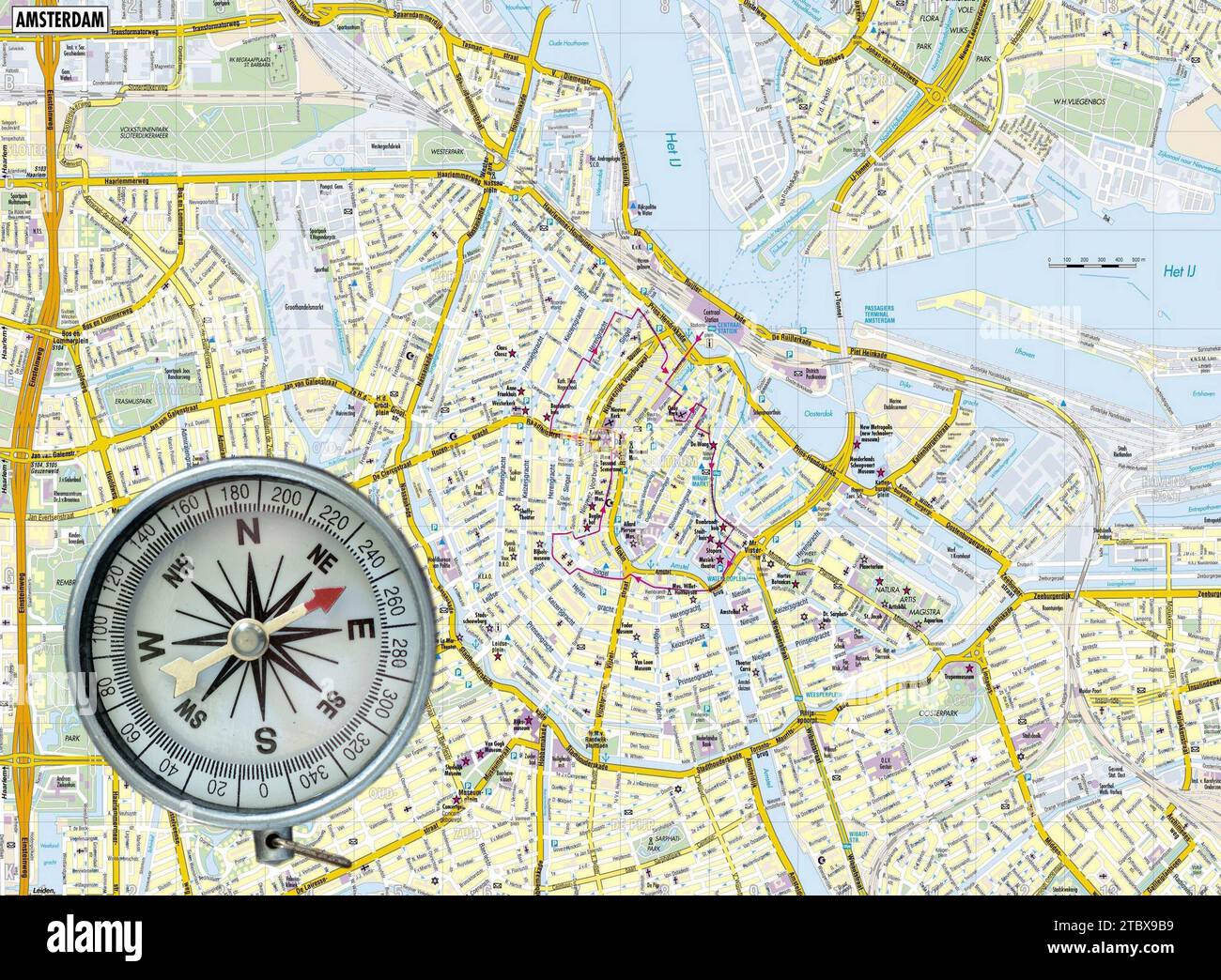 Aged compass on map of Amsterdam as background Stock Photohttps://www.alamy.com/image-license-details/?v=1https://www.alamy.com/aged-compass-on-map-of-amsterdam-as-background-image575281485.html
RF2TBX9B9–Aged compass on map of Amsterdam as background
 Old map of Africa. By Blankaart, publ. in Amsterdam ca. 1662 Stock Photohttps://www.alamy.com/image-license-details/?v=1https://www.alamy.com/old-map-of-africa-by-blankaart-publ-in-amsterdam-ca-1662-image571514529.html
RF2T5PMH5–Old map of Africa. By Blankaart, publ. in Amsterdam ca. 1662
 1747, La Feuille Map of Amsterdam and Vicinity, the Netherlands Stock Photohttps://www.alamy.com/image-license-details/?v=1https://www.alamy.com/stock-image-1747-la-feuille-map-of-amsterdam-and-vicinity-the-netherlands-162567598.html
RMKCDGHJ–1747, La Feuille Map of Amsterdam and Vicinity, the Netherlands
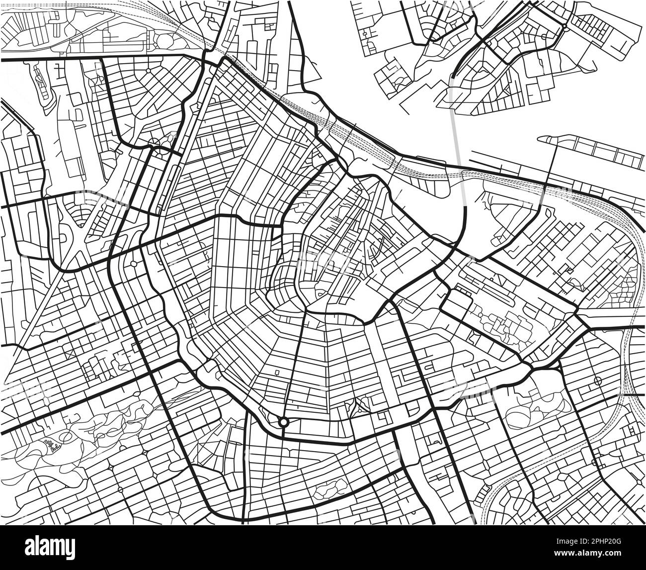 Black and white vector city map of Amsterdam with well organized separated layers. Stock Vectorhttps://www.alamy.com/image-license-details/?v=1https://www.alamy.com/black-and-white-vector-city-map-of-amsterdam-with-well-organized-separated-layers-image544455088.html
RF2PHP20G–Black and white vector city map of Amsterdam with well organized separated layers.
 Netherlands Houses, Amsterdam traditional colorful homes, architecture illustrations Stock Vectorhttps://www.alamy.com/image-license-details/?v=1https://www.alamy.com/netherlands-houses-amsterdam-traditional-colorful-homes-architecture-illustrations-image452227169.html
RF2H7MMA9–Netherlands Houses, Amsterdam traditional colorful homes, architecture illustrations
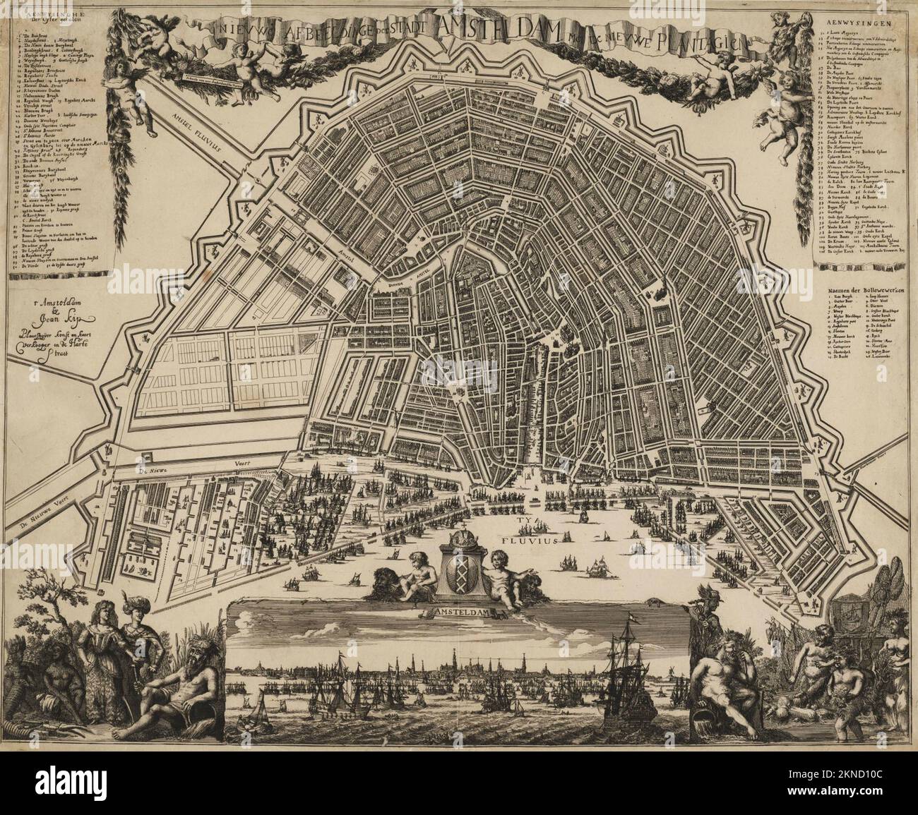 Vintage city plan of Amsterdam and area around it from 16th-18th century. Maps are beautifully hand illustrated and engraved showing it at the time. Stock Photohttps://www.alamy.com/image-license-details/?v=1https://www.alamy.com/vintage-city-plan-of-amsterdam-and-area-around-it-from-16th-18th-century-maps-are-beautifully-hand-illustrated-and-engraved-showing-it-at-the-time-image495084252.html
RF2KND10C–Vintage city plan of Amsterdam and area around it from 16th-18th century. Maps are beautifully hand illustrated and engraved showing it at the time.
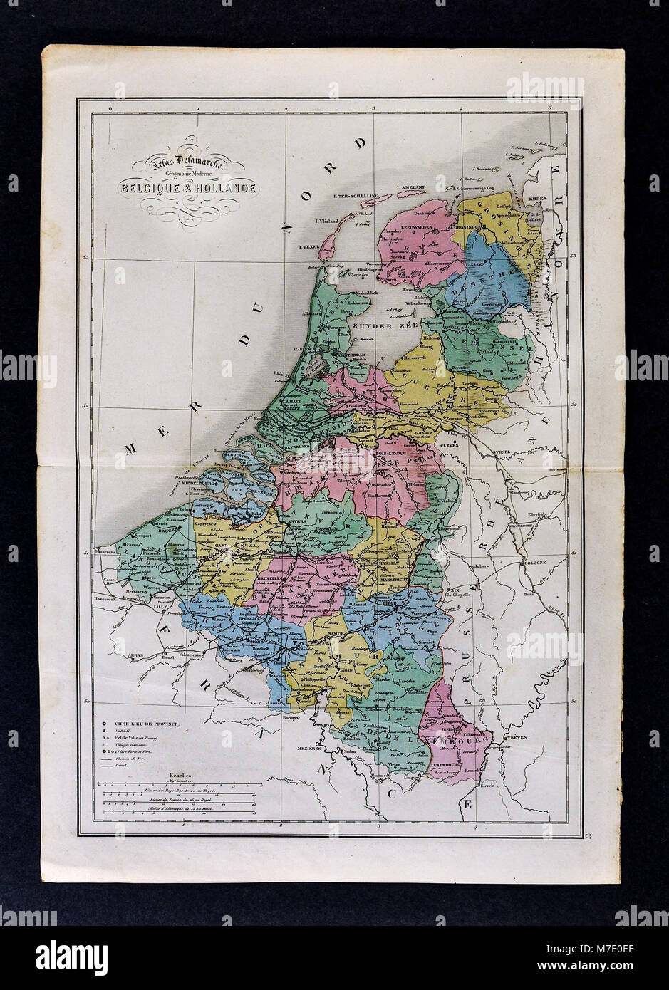 1858 Delamarche Map Europe Map of Netherlands including Belgium, Holland, Luxembourg, Amsterdam, Brussels Stock Photohttps://www.alamy.com/image-license-details/?v=1https://www.alamy.com/stock-photo-1858-delamarche-map-europe-map-of-netherlands-including-belgium-holland-176714007.html
RFM7E0EF–1858 Delamarche Map Europe Map of Netherlands including Belgium, Holland, Luxembourg, Amsterdam, Brussels
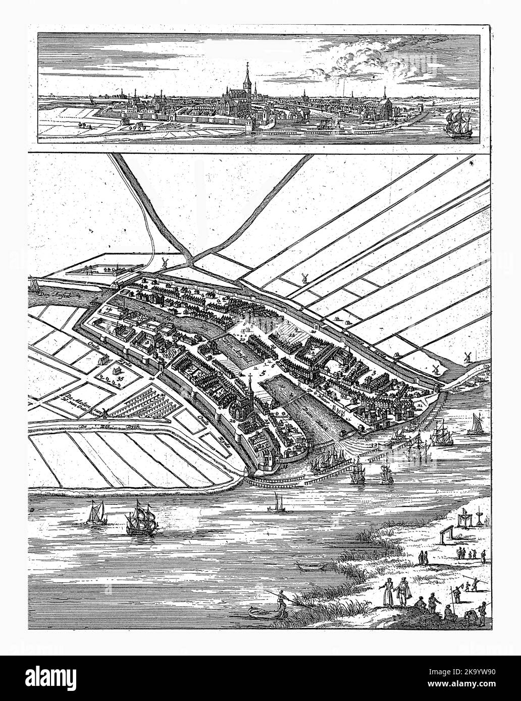 Map of Amsterdam with cityscape, 1300, Jan Luyken (attributed to), 1693 - 1694 Above a view of Amsterdam, below a map in bird's eye view. Both show th Stock Photohttps://www.alamy.com/image-license-details/?v=1https://www.alamy.com/map-of-amsterdam-with-cityscape-1300-jan-luyken-attributed-to-1693-1694-above-a-view-of-amsterdam-below-a-map-in-birds-eye-view-both-show-th-image488034764.html
RF2K9YW90–Map of Amsterdam with cityscape, 1300, Jan Luyken (attributed to), 1693 - 1694 Above a view of Amsterdam, below a map in bird's eye view. Both show th
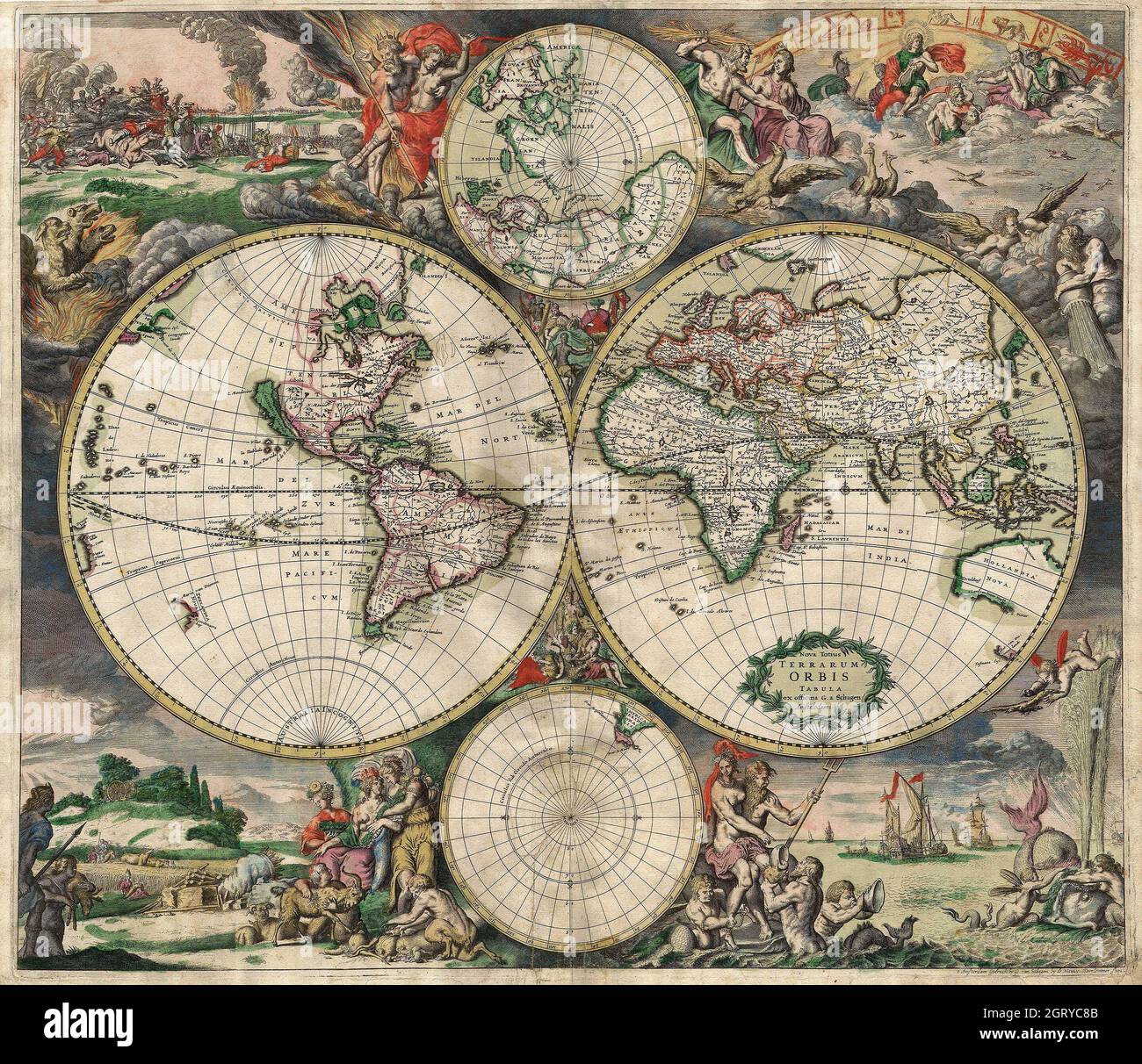 Vintage World Map 1689 - Two hemisphere map of the World. Produced in Amsterdam. Produced using copper engraving. Stock Photohttps://www.alamy.com/image-license-details/?v=1https://www.alamy.com/vintage-world-map-1689-two-hemisphere-map-of-the-world-produced-in-amsterdam-produced-using-copper-engraving-image444998635.html
RM2GRYC8B–Vintage World Map 1689 - Two hemisphere map of the World. Produced in Amsterdam. Produced using copper engraving.
 Plan map of Amsterdam on an etching by Franz Hogenberg circa 1575. Vintage 16th Century Illustrative city Plan and Map. Stock Photohttps://www.alamy.com/image-license-details/?v=1https://www.alamy.com/plan-map-of-amsterdam-on-an-etching-by-franz-hogenberg-circa-1575-vintage-16th-century-illustrative-city-plan-and-map-image617420009.html
RM2XTDWEH–Plan map of Amsterdam on an etching by Franz Hogenberg circa 1575. Vintage 16th Century Illustrative city Plan and Map.
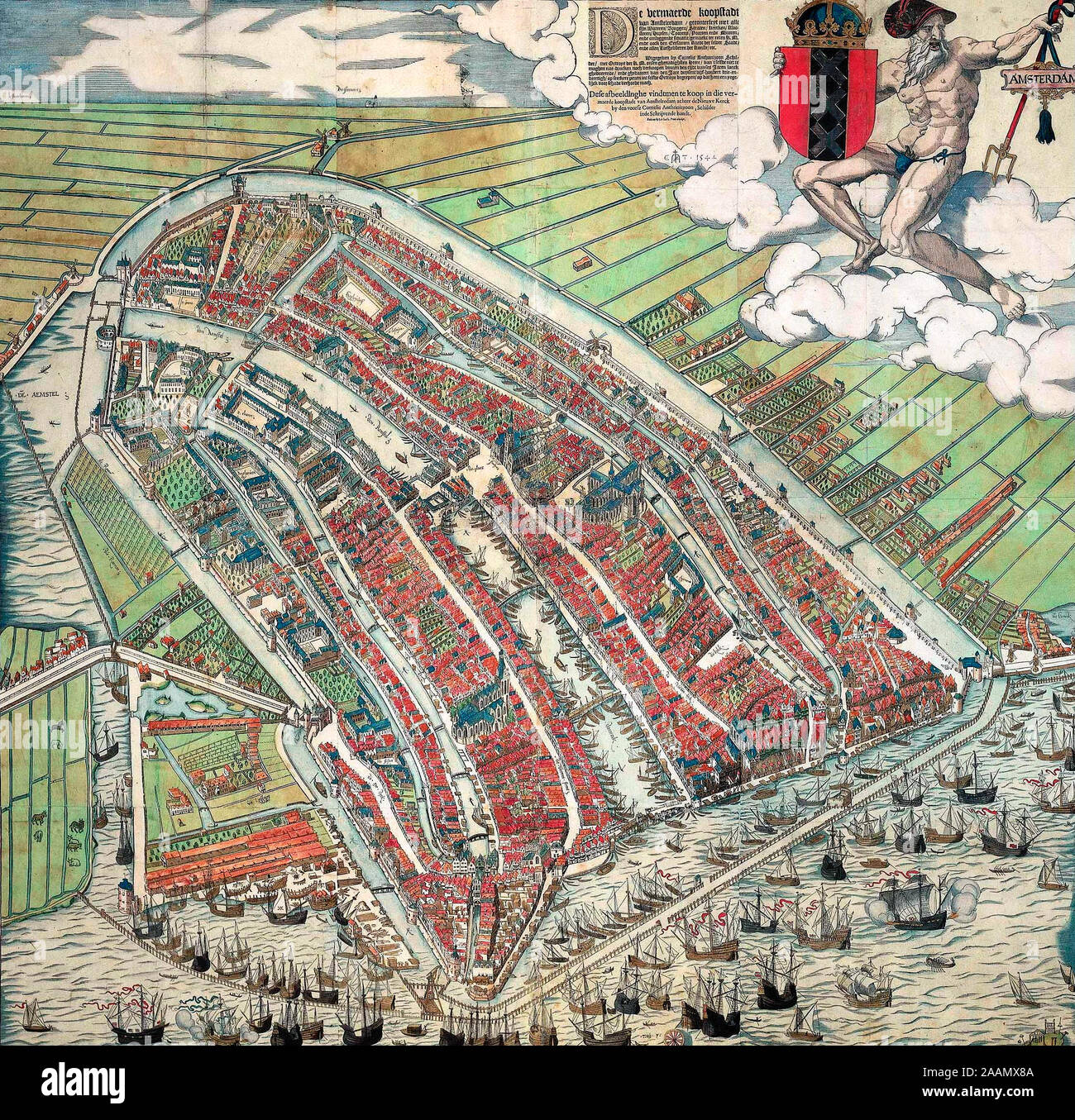 Bird's eye view of Amsterdam - A bird's eye view of Amsterdam looking south. This is the city before the construction of the semi-circular ring of canals. It is bordered by the IJ, the Singel in the west, and the Kloveniersburgwal/Gelderse Kade in the east. The waterway in the middle (connecting the Dam with the IJ) is known as the Damrak. Ships were unloaded on the west bank of the Damrak, indicated on the map as ‘Opt Waeter’ (on the water). Woodcut by Cornelis Anthonisz. made in 1544 after an oil painting of his own making from 1538. This version is a reprint, published by Ian Iansz. around Stock Photohttps://www.alamy.com/image-license-details/?v=1https://www.alamy.com/birds-eye-view-of-amsterdam-a-birds-eye-view-of-amsterdam-looking-south-this-is-the-city-before-the-construction-of-the-semi-circular-ring-of-canals-it-is-bordered-by-the-ij-the-singel-in-the-west-and-the-kloveniersburgwalgelderse-kade-in-the-east-the-waterway-in-the-middle-connecting-the-dam-with-the-ij-is-known-as-the-damrak-ships-were-unloaded-on-the-west-bank-of-the-damrak-indicated-on-the-map-as-opt-waeter-on-the-water-woodcut-by-cornelis-anthonisz-made-in-1544-after-an-oil-painting-of-his-own-making-from-1538-this-version-is-a-reprint-published-by-ian-iansz-around-image333603210.html
RM2AAMX8A–Bird's eye view of Amsterdam - A bird's eye view of Amsterdam looking south. This is the city before the construction of the semi-circular ring of canals. It is bordered by the IJ, the Singel in the west, and the Kloveniersburgwal/Gelderse Kade in the east. The waterway in the middle (connecting the Dam with the IJ) is known as the Damrak. Ships were unloaded on the west bank of the Damrak, indicated on the map as ‘Opt Waeter’ (on the water). Woodcut by Cornelis Anthonisz. made in 1544 after an oil painting of his own making from 1538. This version is a reprint, published by Ian Iansz. around
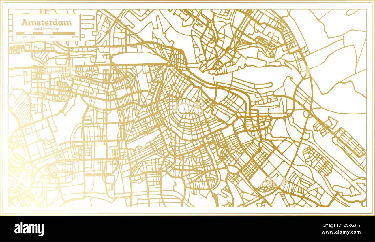 Amsterdam Holland City Map in Retro Style in Golden Color. Outline Map. Vector Illustration. Stock Vectorhttps://www.alamy.com/image-license-details/?v=1https://www.alamy.com/amsterdam-holland-city-map-in-retro-style-in-golden-color-outline-map-vector-illustration-image375908847.html
RF2CRG3FY–Amsterdam Holland City Map in Retro Style in Golden Color. Outline Map. Vector Illustration.
 Netherlands puzzle flag 3d render Stock Photohttps://www.alamy.com/image-license-details/?v=1https://www.alamy.com/netherlands-puzzle-flag-3d-render-image415459716.html
RF2F3WR30–Netherlands puzzle flag 3d render
 Set of Netherland stamps Stock Vectorhttps://www.alamy.com/image-license-details/?v=1https://www.alamy.com/set-of-netherland-stamps-image64669255.html
RFDN5X87–Set of Netherland stamps
RF2JF69WD–THE MITCHELL MAP OF THE BRITISH AND FRENCH DOMINIONS IN NORTH AMERICA, 1755 from the book The iconography of Manhattan Island, 1498-1909 compiled from original sources and illustrated by photo-intaglio reproductions of important maps, plans, views, and documents in public and private collections - Volume 4
 Netherlands sign, vintage grunge imprint with flag on white Stock Vectorhttps://www.alamy.com/image-license-details/?v=1https://www.alamy.com/netherlands-sign-vintage-grunge-imprint-with-flag-on-white-image362578435.html
RF2C1TTDR–Netherlands sign, vintage grunge imprint with flag on white
 Woman with watching a map in a train station Stock Photohttps://www.alamy.com/image-license-details/?v=1https://www.alamy.com/stock-photo-woman-with-watching-a-map-in-a-train-station-148425083.html
RFJHD9KR–Woman with watching a map in a train station
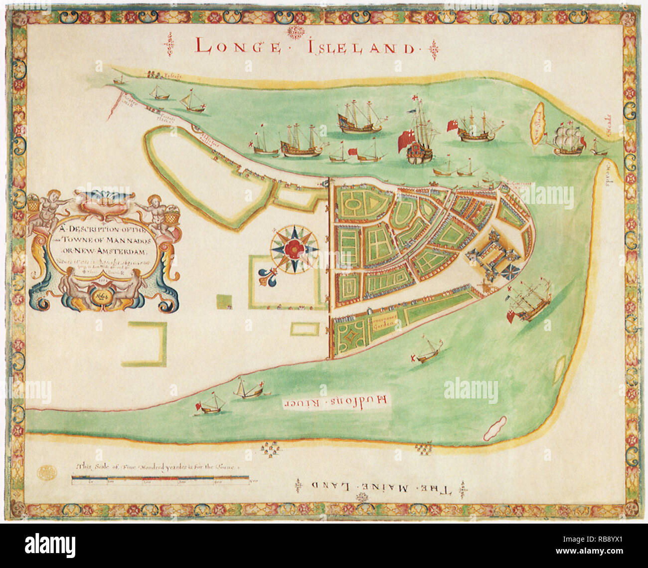 Map of New Amsterdam. 1664 Stock Photohttps://www.alamy.com/image-license-details/?v=1https://www.alamy.com/map-of-new-amsterdam-1664-image230693513.html
RMRB8YX1–Map of New Amsterdam. 1664
 Hand coloured, world map by Gerard van Schagen, published in Amsterdam in the 1680’s as Nova totius terrarum orbis tabula ex officina G. A. Schagen Amstelodami. It is based on Frederick de Wit’s 1668 map Orbis Maritimus. The mythological vignettes are the work of Romeyn de Hooghe. Stock Photohttps://www.alamy.com/image-license-details/?v=1https://www.alamy.com/hand-coloured-world-map-by-gerard-van-schagen-published-in-amsterdam-in-the-1680s-as-nova-totius-terrarum-orbis-tabula-ex-officina-g-a-schagen-amstelodami-it-is-based-on-frederick-de-wits-1668-map-orbis-maritimus-the-mythological-vignettes-are-the-work-of-romeyn-de-hooghe-image465309002.html
RM2J10JAJ–Hand coloured, world map by Gerard van Schagen, published in Amsterdam in the 1680’s as Nova totius terrarum orbis tabula ex officina G. A. Schagen Amstelodami. It is based on Frederick de Wit’s 1668 map Orbis Maritimus. The mythological vignettes are the work of Romeyn de Hooghe.
 Wereld Tentonnstelling 1895 Amsterdam (World Exhibition for the Hotel and Travel Industry), poster 1895 Stock Photohttps://www.alamy.com/image-license-details/?v=1https://www.alamy.com/wereld-tentonnstelling-1895-amsterdam-world-exhibition-for-the-hotel-and-travel-industry-poster-1895-image482495252.html
RM2K0YFH8–Wereld Tentonnstelling 1895 Amsterdam (World Exhibition for the Hotel and Travel Industry), poster 1895
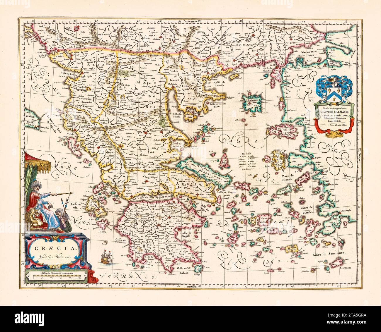 Old map if Greece. By Blaeu, publ. in Amsterdam, ca. 1650 Stock Photohttps://www.alamy.com/image-license-details/?v=1https://www.alamy.com/old-map-if-greece-by-blaeu-publ-in-amsterdam-ca-1650-image574211662.html
RF2TA5GRA–Old map if Greece. By Blaeu, publ. in Amsterdam, ca. 1650
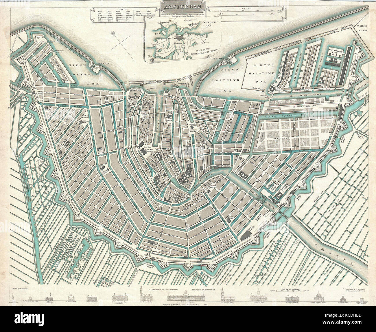 1835, S.D.U.K. City Map or Plan of Amsterdam, The Netherlands Stock Photohttps://www.alamy.com/image-license-details/?v=1https://www.alamy.com/stock-image-1835-sduk-city-map-or-plan-of-amsterdam-the-netherlands-162568209.html
RMKCDHBD–1835, S.D.U.K. City Map or Plan of Amsterdam, The Netherlands
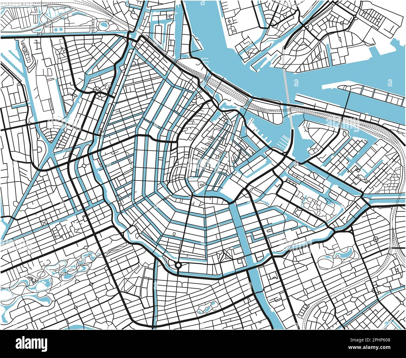 Black and white vector city map of Amsterdam with well organized separated layers. Stock Vectorhttps://www.alamy.com/image-license-details/?v=1https://www.alamy.com/black-and-white-vector-city-map-of-amsterdam-with-well-organized-separated-layers-image544458216.html
RF2PHP608–Black and white vector city map of Amsterdam with well organized separated layers.
 Netherlands Houses, Amsterdam traditional colorful homes, architecture illustrations Stock Vectorhttps://www.alamy.com/image-license-details/?v=1https://www.alamy.com/netherlands-houses-amsterdam-traditional-colorful-homes-architecture-illustrations-image452511832.html
RF2H85KCT–Netherlands Houses, Amsterdam traditional colorful homes, architecture illustrations
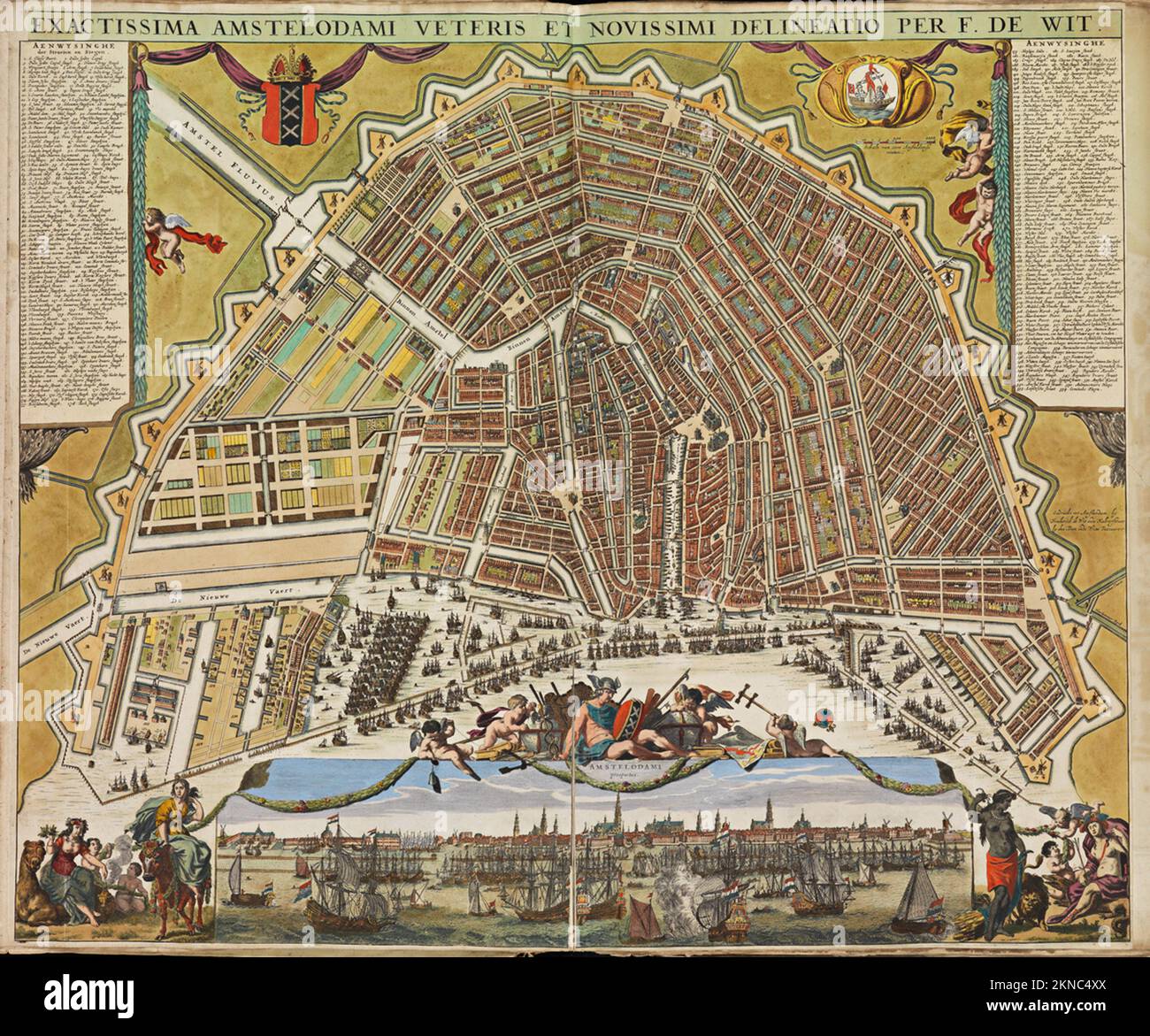 Vintage city plan of Amsterdam and area around it from 16th-18th century. Maps are beautifully hand illustrated and engraved showing it at the time. Stock Photohttps://www.alamy.com/image-license-details/?v=1https://www.alamy.com/vintage-city-plan-of-amsterdam-and-area-around-it-from-16th-18th-century-maps-are-beautifully-hand-illustrated-and-engraved-showing-it-at-the-time-image495065394.html
RF2KNC4XX–Vintage city plan of Amsterdam and area around it from 16th-18th century. Maps are beautifully hand illustrated and engraved showing it at the time.
 1877 Migeon Map - Netherlands - Holland Belgium Luxembourg Brussels Amsterdam Stock Photohttps://www.alamy.com/image-license-details/?v=1https://www.alamy.com/stock-photo-1877-migeon-map-netherlands-holland-belgium-luxembourg-brussels-amsterdam-172919438.html
RFM194E6–1877 Migeon Map - Netherlands - Holland Belgium Luxembourg Brussels Amsterdam
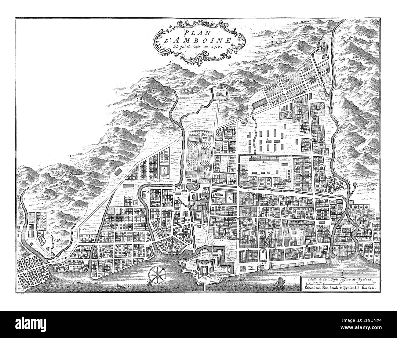 Map of the city of Amboine Stock Photohttps://www.alamy.com/image-license-details/?v=1https://www.alamy.com/map-of-the-city-of-amboine-image418883308.html
RF2F9DNX4–Map of the city of Amboine
RF2J62CJ0–Nova Belgica sivc Nieuw NEDERLANDT [with inset view of] Nieuw AMSTERDAM op T Eylant Manhattans [The Vander Donck Map and View] 1651-5 The period of discovery (1524-1609); the Dutch period (1609-1664). The English period (1664-1763). The Revolutionary period (1763-1783). Period of adjustment and reconstruction; New York as the state and federal capital (1783-1811) from The iconography of Manhattan Island, 1498-1909 compiled from original sources and illustrated by photo-intaglio reproductions of important maps, plans, views, and documents in public and private collections - Volume 1 by Stokes,
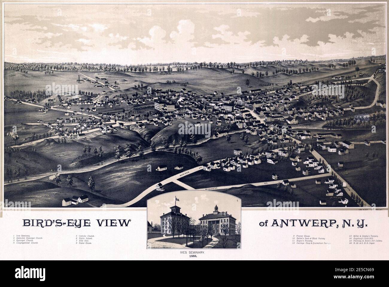 Vintage pictorial map of Amsterdam, New York in the United States Stock Photohttps://www.alamy.com/image-license-details/?v=1https://www.alamy.com/vintage-pictorial-map-of-amsterdam-new-york-in-the-united-states-image399191809.html
RF2E5CN69–Vintage pictorial map of Amsterdam, New York in the United States
 Made in Netherlands graphic and label. Element of impact for the use you want to make of it. Stock Vectorhttps://www.alamy.com/image-license-details/?v=1https://www.alamy.com/made-in-netherlands-graphic-and-label-element-of-impact-for-the-use-you-want-to-make-of-it-image468456365.html
RF2J640TD–Made in Netherlands graphic and label. Element of impact for the use you want to make of it.
 Old city infrastructure topic vector art Stock Vectorhttps://www.alamy.com/image-license-details/?v=1https://www.alamy.com/old-city-infrastructure-topic-vector-art-image562999618.html
RF2RKXRN6–Old city infrastructure topic vector art
 Barbados passport on the beach sand ,Space for writing ,citizenship Stock Photohttps://www.alamy.com/image-license-details/?v=1https://www.alamy.com/barbados-passport-on-the-beach-sand-space-for-writing-citizenship-image441877099.html
RF2GJW6MY–Barbados passport on the beach sand ,Space for writing ,citizenship
 Historic wooden windmill on the banks of a river near Haarlem, in the west of the Netherlands. Dutch scenery on a sunny day. Stock Photohttps://www.alamy.com/image-license-details/?v=1https://www.alamy.com/historic-wooden-windmill-on-the-banks-of-a-river-near-haarlem-in-the-west-of-the-netherlands-dutch-scenery-on-a-sunny-day-image571197214.html
RF2T587TE–Historic wooden windmill on the banks of a river near Haarlem, in the west of the Netherlands. Dutch scenery on a sunny day.
 NORTH NETHERLANDS. Vintage map plan. Amsterdam Friesand Groningen Drente 1933 Stock Photohttps://www.alamy.com/image-license-details/?v=1https://www.alamy.com/stock-photo-north-netherlands-vintage-map-plan-amsterdam-friesand-groningen-drente-107976221.html
RFG7JMNH–NORTH NETHERLANDS. Vintage map plan. Amsterdam Friesand Groningen Drente 1933
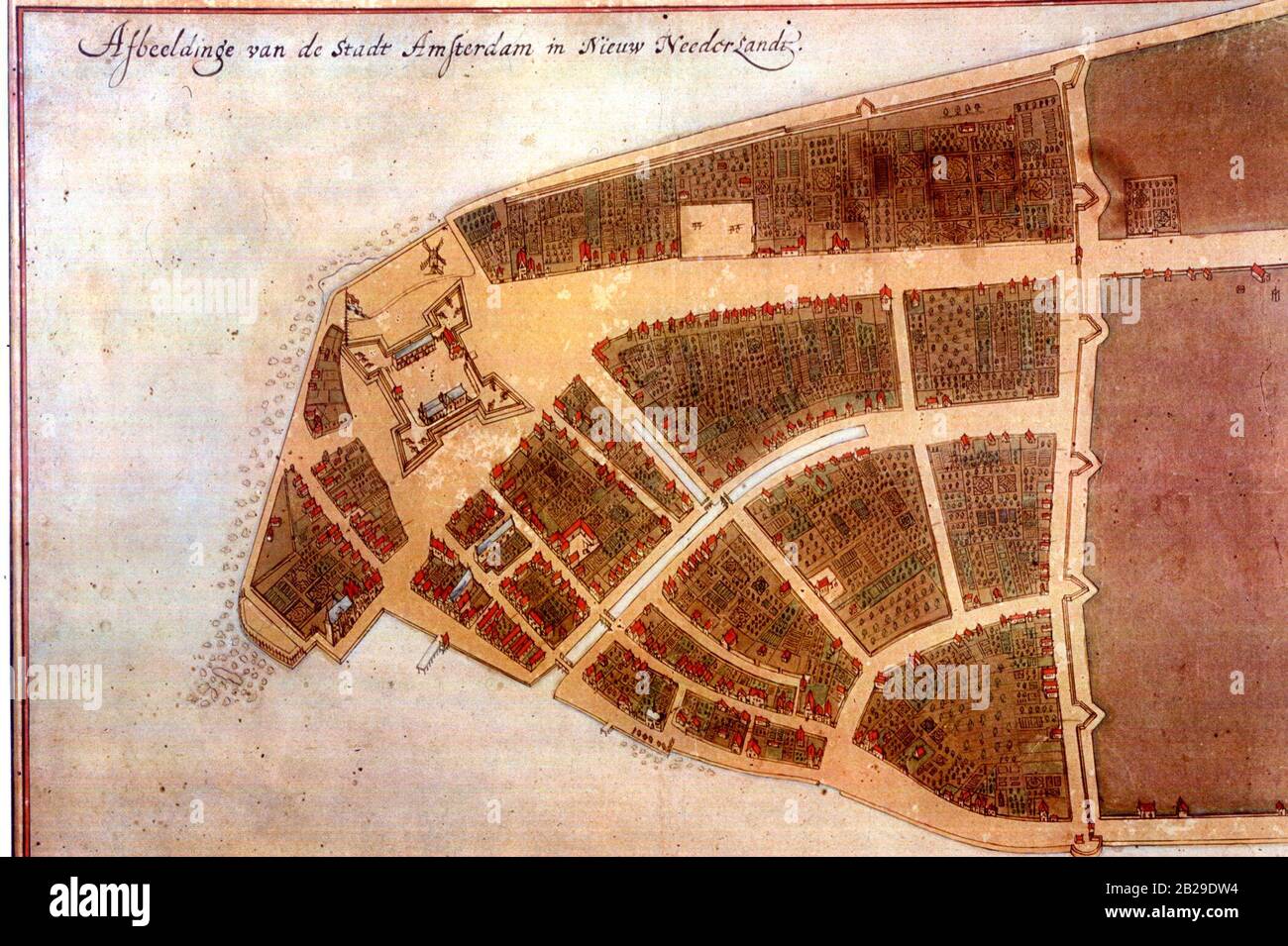 The Castello plan is the earliest known plan of Amsterdam (so not New Amsterdam, as you can see on the picture), and the only one dating from the Dutch period. The text at the top of the image states: 'Image of the city Amsterdam in New Netherland', circa 1660 Stock Photohttps://www.alamy.com/image-license-details/?v=1https://www.alamy.com/the-castello-plan-is-the-earliest-known-plan-of-amsterdam-so-not-new-amsterdam-as-you-can-see-on-the-picture-and-the-only-one-dating-from-the-dutch-period-the-text-at-the-top-of-the-image-states-image-of-the-city-amsterdam-in-new-netherland-circa-1660-image345645136.html
RM2B29DW4–The Castello plan is the earliest known plan of Amsterdam (so not New Amsterdam, as you can see on the picture), and the only one dating from the Dutch period. The text at the top of the image states: 'Image of the city Amsterdam in New Netherland', circa 1660
 Woman with watching a map in a train station Stock Photohttps://www.alamy.com/image-license-details/?v=1https://www.alamy.com/stock-photo-woman-with-watching-a-map-in-a-train-station-148425144.html
RFJHD9P0–Woman with watching a map in a train station
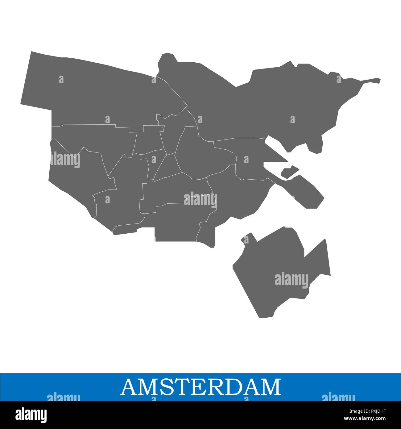 High Quality map of Amsterdam is a city of Netherlands, with borders of the districts Stock Vectorhttps://www.alamy.com/image-license-details/?v=1https://www.alamy.com/high-quality-map-of-amsterdam-is-a-city-of-netherlands-with-borders-of-the-districts-image222911291.html
RFPXJDHF–High Quality map of Amsterdam is a city of Netherlands, with borders of the districts
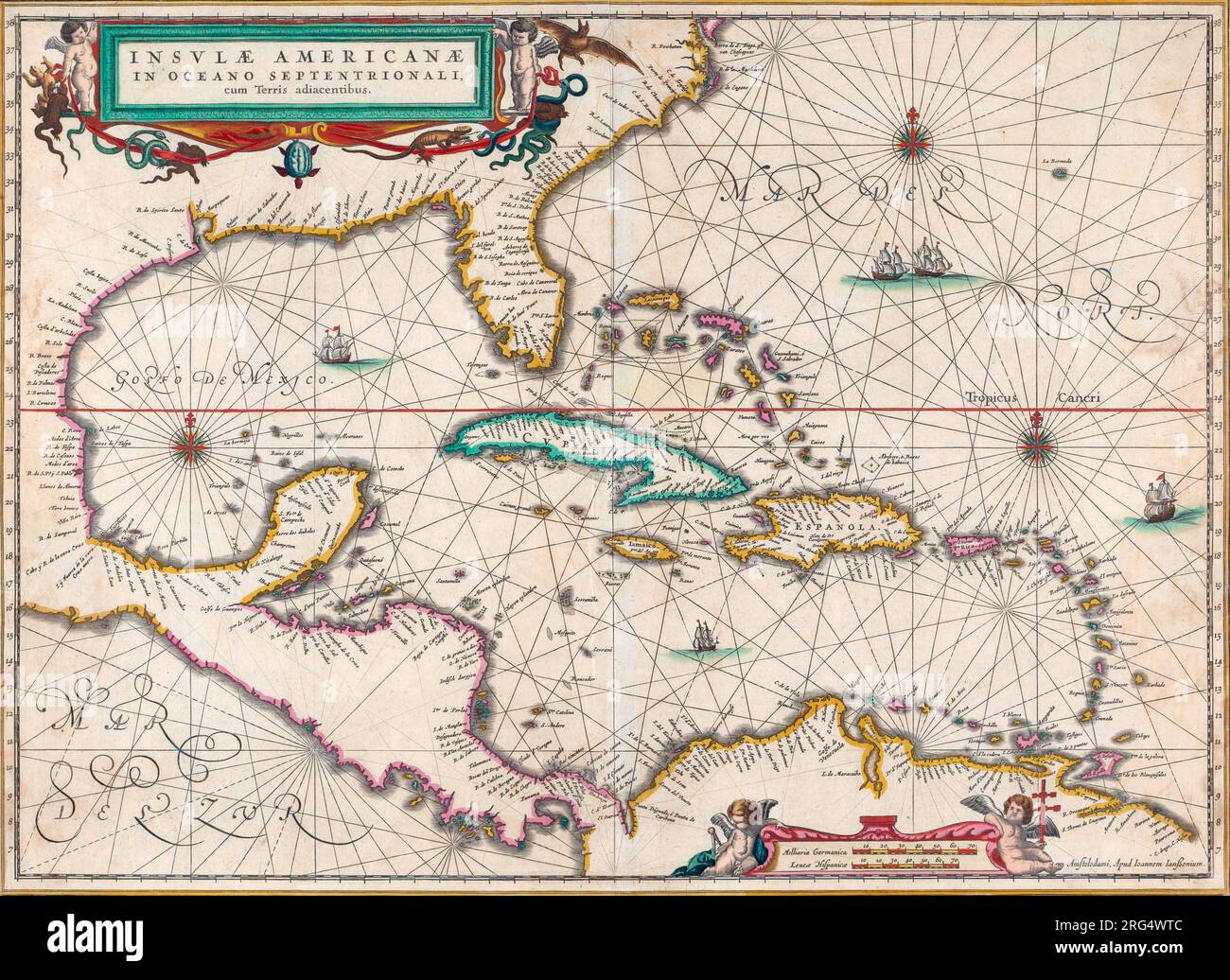 Map of Central America and the Caribbean islands. Published by Johannes Janssonius, Amsterdam, circa 1650. Stock Photohttps://www.alamy.com/image-license-details/?v=1https://www.alamy.com/map-of-central-america-and-the-caribbean-islands-published-by-johannes-janssonius-amsterdam-circa-1650-image560674364.html
RM2RG4WTC–Map of Central America and the Caribbean islands. Published by Johannes Janssonius, Amsterdam, circa 1650.
 A mid 19th century antique map in sepia showing the city of Amsterdam, Holland. Stock Photohttps://www.alamy.com/image-license-details/?v=1https://www.alamy.com/a-mid-19th-century-antique-map-in-sepia-showing-the-city-of-amsterdam-holland-image631733423.html
RF2YKNXBY–A mid 19th century antique map in sepia showing the city of Amsterdam, Holland.
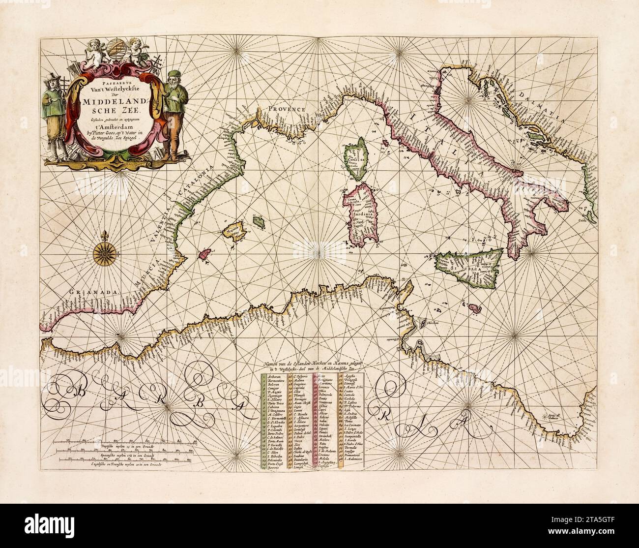 Western Mediterranean old map. By Goos, publ. in Amsterdam, 1672 Stock Photohttps://www.alamy.com/image-license-details/?v=1https://www.alamy.com/western-mediterranean-old-map-by-goos-publ-in-amsterdam-1672-image574211695.html
RF2TA5GTF–Western Mediterranean old map. By Goos, publ. in Amsterdam, 1672
 Image 12 of Sanborn Fire Insurance Map from Amsterdam, Montgomery County, New York. May 1884. 16 Sheet(s), America, street map with a Nineteenth Century compass Stock Photohttps://www.alamy.com/image-license-details/?v=1https://www.alamy.com/image-12-of-sanborn-fire-insurance-map-from-amsterdam-montgomery-county-new-york-may-1884-16-sheets-america-street-map-with-a-nineteenth-century-compass-image344690603.html
RM2B0P0AK–Image 12 of Sanborn Fire Insurance Map from Amsterdam, Montgomery County, New York. May 1884. 16 Sheet(s), America, street map with a Nineteenth Century compass
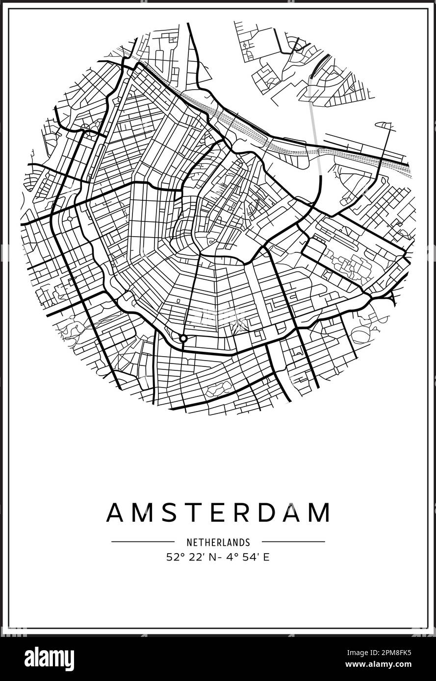 Black and white printable Amsterdam city map, poster design, vector illistration. Stock Vectorhttps://www.alamy.com/image-license-details/?v=1https://www.alamy.com/black-and-white-printable-amsterdam-city-map-poster-design-vector-illistration-image546002441.html
RF2PM8FK5–Black and white printable Amsterdam city map, poster design, vector illistration.
 Netherlands Houses, Amsterdam traditional colorful homes, architecture illustrations Stock Vectorhttps://www.alamy.com/image-license-details/?v=1https://www.alamy.com/netherlands-houses-amsterdam-traditional-colorful-homes-architecture-illustrations-image452226962.html
RF2H7MM2X–Netherlands Houses, Amsterdam traditional colorful homes, architecture illustrations
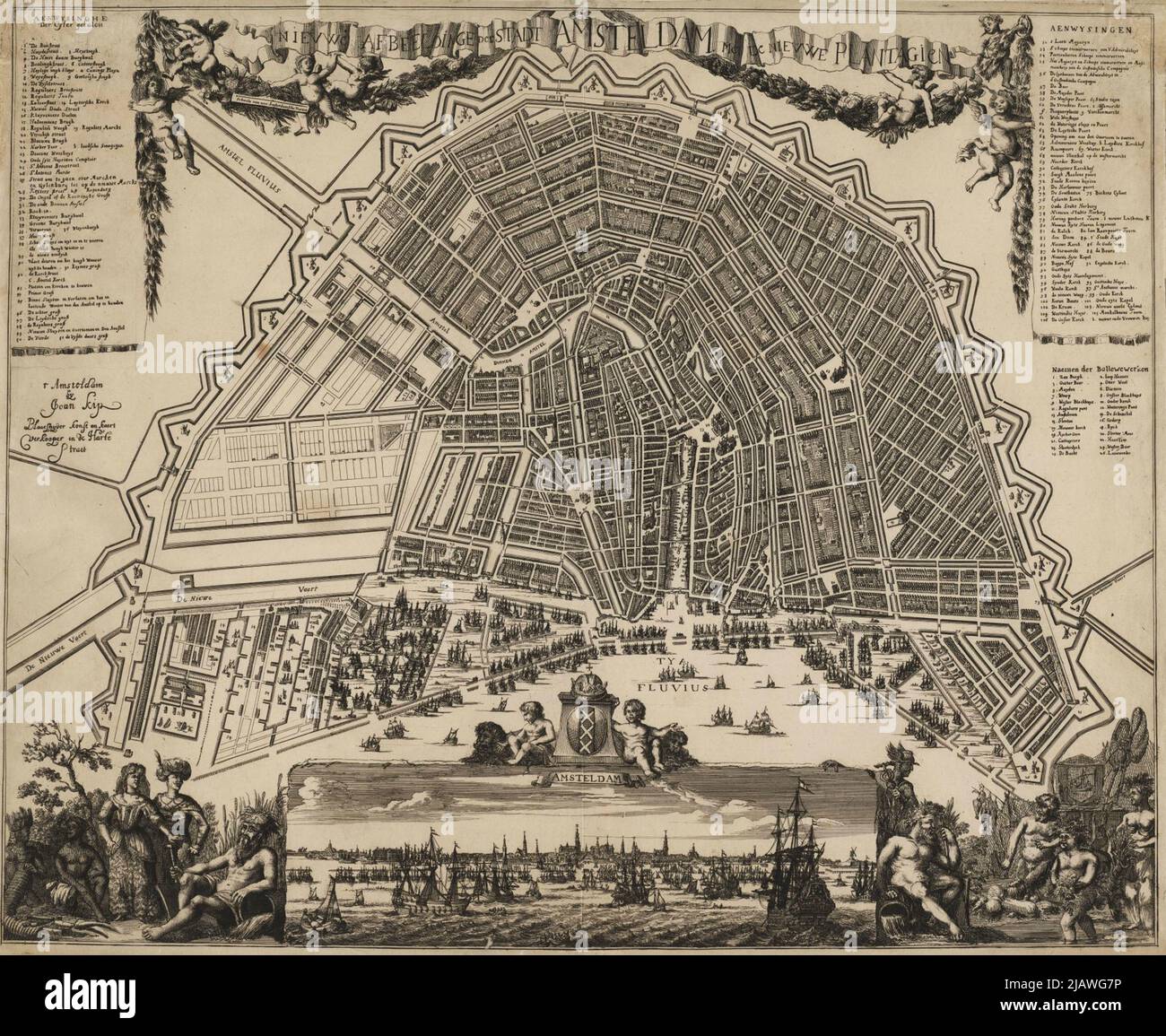 Vintage city plan of Amsterdam and area around it from 16th-18th century. Maps are beautifully hand illustrated and engraved showing it at the time. Stock Photohttps://www.alamy.com/image-license-details/?v=1https://www.alamy.com/vintage-city-plan-of-amsterdam-and-area-around-it-from-16th-18th-century-maps-are-beautifully-hand-illustrated-and-engraved-showing-it-at-the-time-image471388058.html
RF2JAWG7P–Vintage city plan of Amsterdam and area around it from 16th-18th century. Maps are beautifully hand illustrated and engraved showing it at the time.
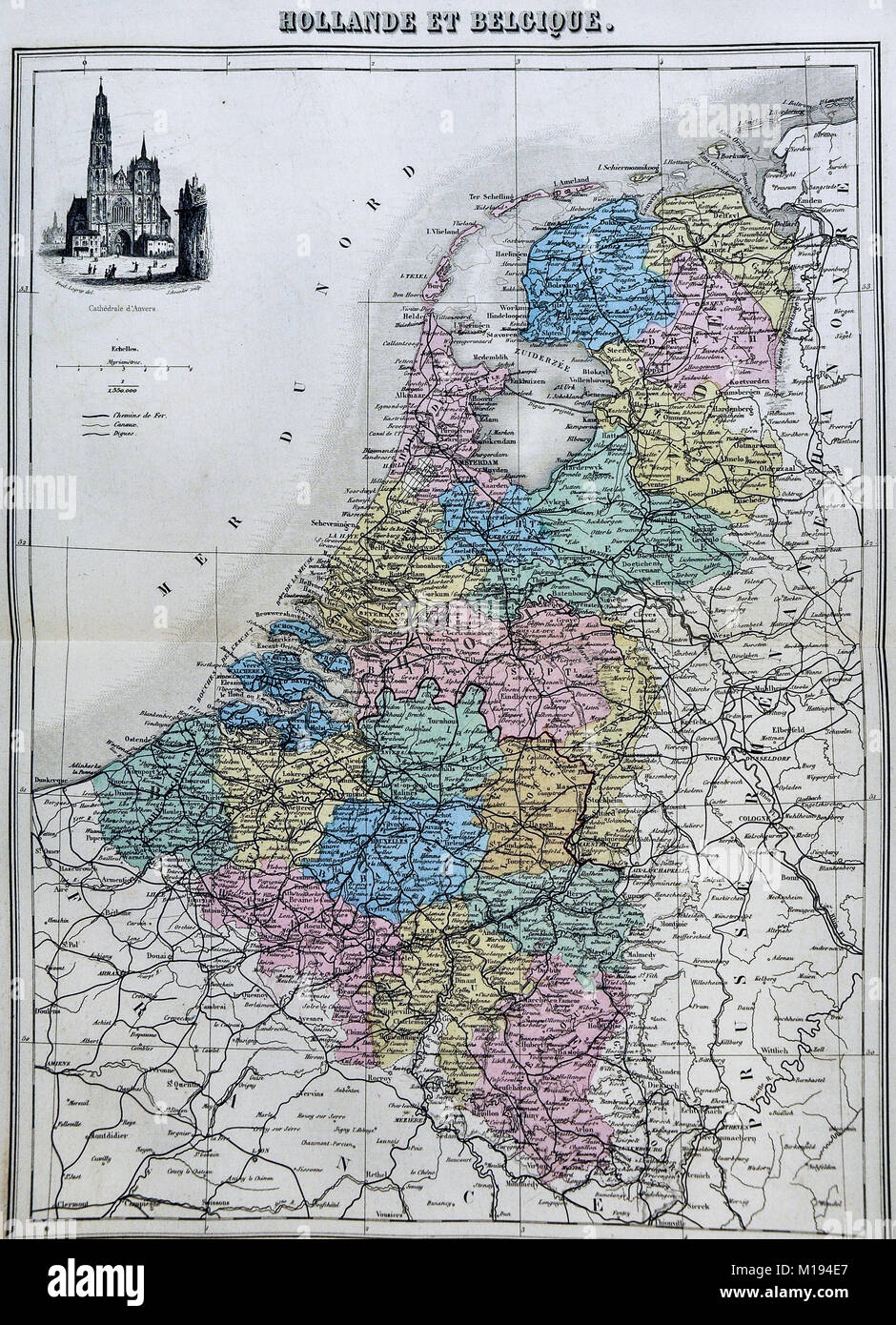 1877 Migeon Map - Netherlands - Holland Belgium Luxembourg Brussels Amsterdam Stock Photohttps://www.alamy.com/image-license-details/?v=1https://www.alamy.com/stock-photo-1877-migeon-map-netherlands-holland-belgium-luxembourg-brussels-amsterdam-172919439.html
RFM194E7–1877 Migeon Map - Netherlands - Holland Belgium Luxembourg Brussels Amsterdam
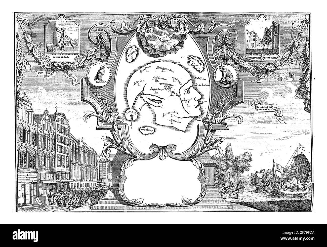 The island of Gekskop, vintage engraving. Stock Photohttps://www.alamy.com/image-license-details/?v=1https://www.alamy.com/the-island-of-gekskop-vintage-engraving-image417561126.html
RF2F79FDA–The island of Gekskop, vintage engraving.
RF2J62CHG–Novi Belgii Novaeque Angllae Nec Non Partis Virginiae Tabula (etc.) [Early issue of the Danckers Map] 1651-5 The period of discovery (1524-1609); the Dutch period (1609-1664). The English period (1664-1763). The Revolutionary period (1763-1783). Period of adjustment and reconstruction; New York as the state and federal capital (1783-1811) from The iconography of Manhattan Island, 1498-1909 compiled from original sources and illustrated by photo-intaglio reproductions of important maps, plans, views, and documents in public and private collections - Volume 1 by Stokes, I. N. Phelps (Isaac Newt
 Vintage 1881 pictorial map of Amsterdam, New Yorkin the United States Stock Photohttps://www.alamy.com/image-license-details/?v=1https://www.alamy.com/vintage-1881-pictorial-map-of-amsterdam-new-yorkin-the-united-states-image399191810.html
RF2E5CN6A–Vintage 1881 pictorial map of Amsterdam, New Yorkin the United States
 Made in Netherlands graphics and labels set. Some elements of impact for the use you want to make of it. Stock Vectorhttps://www.alamy.com/image-license-details/?v=1https://www.alamy.com/made-in-netherlands-graphics-and-labels-set-some-elements-of-impact-for-the-use-you-want-to-make-of-it-image467610137.html
RF2J4NDE1–Made in Netherlands graphics and labels set. Some elements of impact for the use you want to make of it.
 Antique map of Seville. Representation of Hispalis, Generally Known as Seville, World-Famous City and Renowned in Spain. Amsterdam : Johannes Janssonius, 1617. Stock Photohttps://www.alamy.com/image-license-details/?v=1https://www.alamy.com/antique-map-of-seville-representation-of-hispalis-generally-known-as-seville-world-famous-city-and-renowned-in-spain-amsterdam-johannes-janssonius-1617-image612029086.html
RM2XFM99J–Antique map of Seville. Representation of Hispalis, Generally Known as Seville, World-Famous City and Renowned in Spain. Amsterdam : Johannes Janssonius, 1617.
 Stadtplan von Amsterdam, um 1880, Niederlande, Holland / Amsterdam city map, around 1880, Netherlands, Holland, Historisch, historical, digital improved reproduction of an original from the 19th century / digital restaurierte Reproduktion einer Originalvorlage aus dem 19. Jahrhundert, genaues Originaldatum nicht bekannt, Stock Photohttps://www.alamy.com/image-license-details/?v=1https://www.alamy.com/stadtplan-von-amsterdam-um-1880-niederlande-holland-amsterdam-city-map-around-1880-netherlands-holland-historisch-historical-digital-improved-reproduction-of-an-original-from-the-19th-century-digital-restaurierte-reproduktion-einer-originalvorlage-aus-dem-19-jahrhundert-genaues-originaldatum-nicht-bekannt-image476100408.html
RF2JJG6X0–Stadtplan von Amsterdam, um 1880, Niederlande, Holland / Amsterdam city map, around 1880, Netherlands, Holland, Historisch, historical, digital improved reproduction of an original from the 19th century / digital restaurierte Reproduktion einer Originalvorlage aus dem 19. Jahrhundert, genaues Originaldatum nicht bekannt,
 Map showing Schouten and Le Maire’s route across the Pacific Ocean from Cape Horn on the Eendracht. (Amsterdam, 1619) Stock Photohttps://www.alamy.com/image-license-details/?v=1https://www.alamy.com/stock-photo-map-showing-schouten-and-le-maires-route-across-the-pacific-ocean-171701076.html
RMKY9JD8–Map showing Schouten and Le Maire’s route across the Pacific Ocean from Cape Horn on the Eendracht. (Amsterdam, 1619)
 Map - Special Collections University of Amsterdam - Wall map of Holland. Stock Photohttps://www.alamy.com/image-license-details/?v=1https://www.alamy.com/map-special-collections-university-of-amsterdam-wall-map-of-holland-image398128712.html
RM2E3M96G–Map - Special Collections University of Amsterdam - Wall map of Holland.
 '1-2-3 SEPT. 1939 F.I.S.A. EUROPEESCHE ROEIKAMPIOENSCHAPPEN BOSCHBAAN-AMSTERDAM' 'SEPTEMBER 1-2-3, 1939 F.I.S.A. EUROPEAN ROWING CHAMPIONSHIPS BOSCHBAAN-AMSTERDAM' Vintage Dutch Advertising. Stylized illustration of rowers on a blue background with a large moon and a map of Europe. Stock Photohttps://www.alamy.com/image-license-details/?v=1https://www.alamy.com/1-2-3-sept-1939-fisa-europeesche-roeikampioenschappen-boschbaan-amsterdam-september-1-2-3-1939-fisa-european-rowing-championships-boschbaan-amsterdam-vintage-dutch-advertising-stylized-illustration-of-rowers-on-a-blue-background-with-a-large-moon-and-a-map-of-europe-image594894295.html
RM2WFRNMR–'1-2-3 SEPT. 1939 F.I.S.A. EUROPEESCHE ROEIKAMPIOENSCHAPPEN BOSCHBAAN-AMSTERDAM' 'SEPTEMBER 1-2-3, 1939 F.I.S.A. EUROPEAN ROWING CHAMPIONSHIPS BOSCHBAAN-AMSTERDAM' Vintage Dutch Advertising. Stylized illustration of rowers on a blue background with a large moon and a map of Europe.
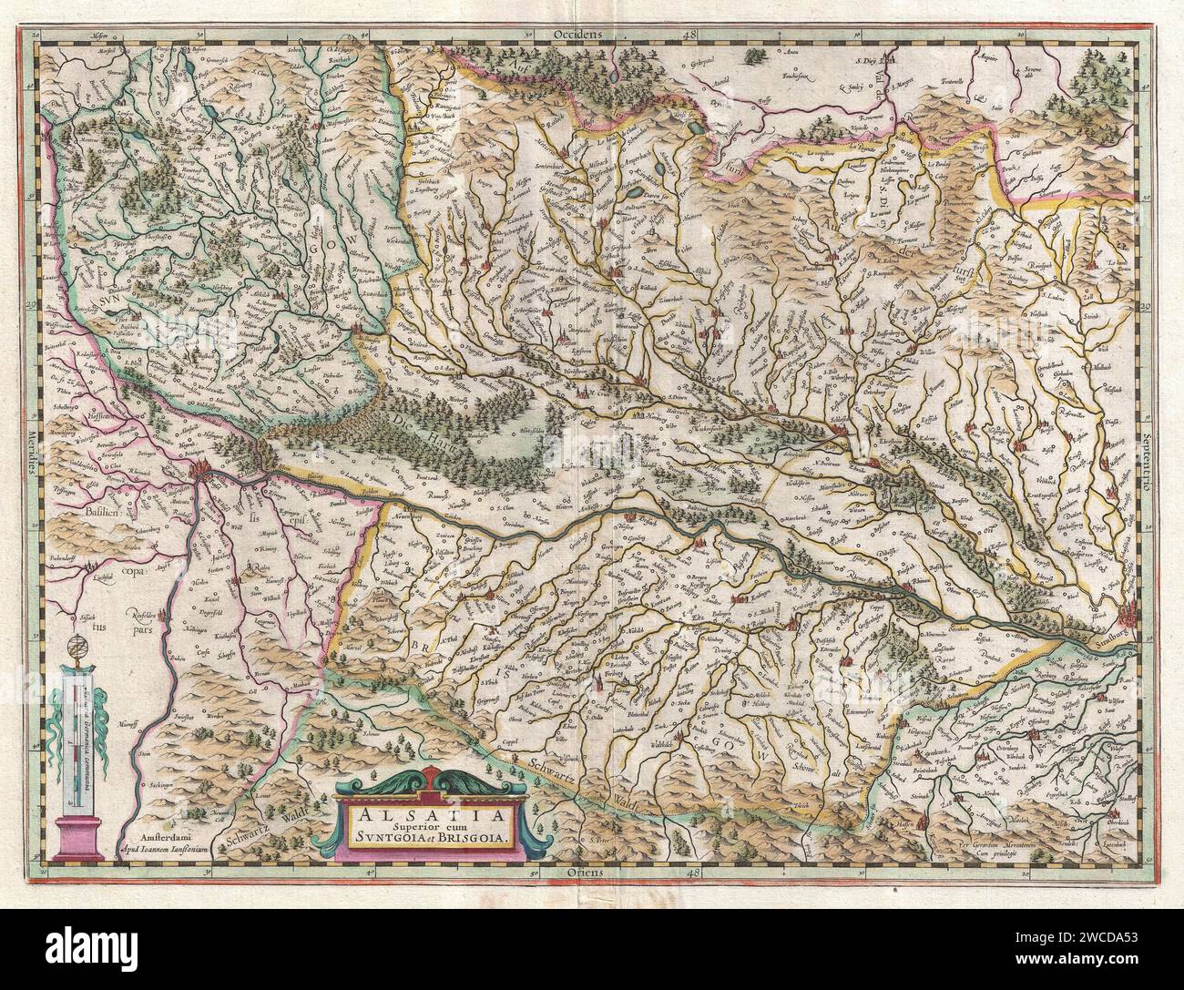 Jansson's 1644 map of Upper Alsace, France. This west-facing map covers the Rhine Valley from Basel to Strasbourg. It shows numerous cities, villages, forests and tributaries. The topography and the main cities are shown in profile. Published in Amsterdam by Jan Jansson for the 1644 edition of the Nouvel Atlas ou Theater du Mondre Stock Photohttps://www.alamy.com/image-license-details/?v=1https://www.alamy.com/janssons-1644-map-of-upper-alsace-france-this-west-facing-map-covers-the-rhine-valley-from-basel-to-strasbourg-it-shows-numerous-cities-villages-forests-and-tributaries-the-topography-and-the-main-cities-are-shown-in-profile-published-in-amsterdam-by-jan-jansson-for-the-1644-edition-of-the-nouvel-atlas-ou-theater-du-mondre-image592821743.html
RM2WCDA53–Jansson's 1644 map of Upper Alsace, France. This west-facing map covers the Rhine Valley from Basel to Strasbourg. It shows numerous cities, villages, forests and tributaries. The topography and the main cities are shown in profile. Published in Amsterdam by Jan Jansson for the 1644 edition of the Nouvel Atlas ou Theater du Mondre
RF2J6P1WF–Frontispiece REDRAFT OF THE CASTELLO PLAN OF NEW AMSTERDAM 1660 from The iconography of Manhattan Island, 1498-1909 compiled from original sources and illustrated by photo-intaglio reproductions of important maps, plans, views, and documents in public and private collections - Volume 2 by Stokes, I. N. Phelps (Isaac Newton Phelps), 1867-1944 Publisher New York : Robert H. Dodd 1915. Including Cartography: an essay on the development of knowledge regarding the geography of the east coast of North America; Manhattan Island and its environs on early maps and charts / by F.C. Wieder and I.N. Phel
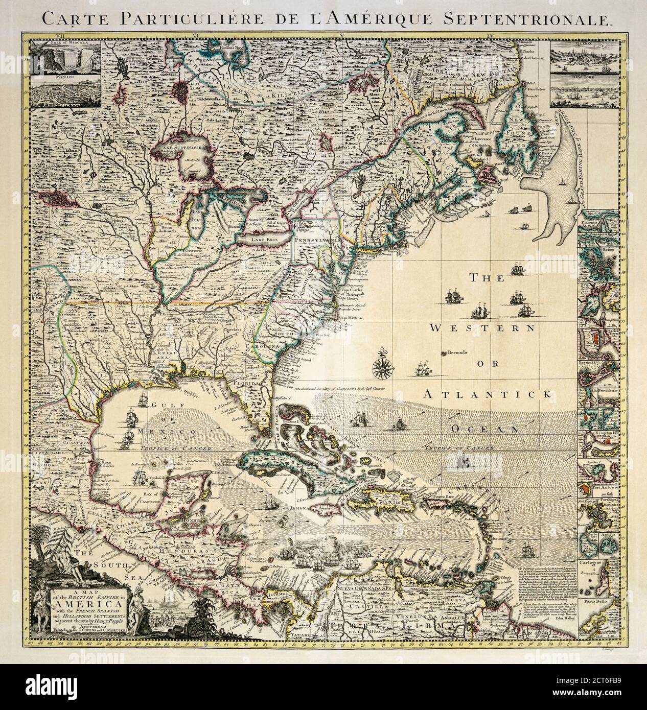 A mid-18th century map of the British Empire in North America also showing French, Spanish and Dutch settlements. After a work by British cartographer Henry Popple, ? - died 1743. This is a later edition of Popple’s map, published by Covens and Mortier in Amsterdam, circa 1750. Stock Photohttps://www.alamy.com/image-license-details/?v=1https://www.alamy.com/a-mid-18th-century-map-of-the-british-empire-in-north-america-also-showing-french-spanish-and-dutch-settlements-after-a-work-by-british-cartographer-henry-popple-died-1743-this-is-a-later-edition-of-popples-map-published-by-covens-and-mortier-in-amsterdam-circa-1750-image376313261.html
RM2CT6FB9–A mid-18th century map of the British Empire in North America also showing French, Spanish and Dutch settlements. After a work by British cartographer Henry Popple, ? - died 1743. This is a later edition of Popple’s map, published by Covens and Mortier in Amsterdam, circa 1750.
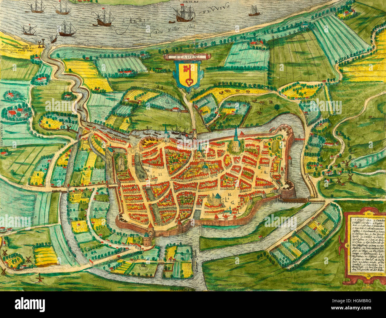 Map Of Amsterdam 1657 Stock Photohttps://www.alamy.com/image-license-details/?v=1https://www.alamy.com/stock-photo-map-of-amsterdam-1657-130755396.html
RFHGMBRG–Map Of Amsterdam 1657
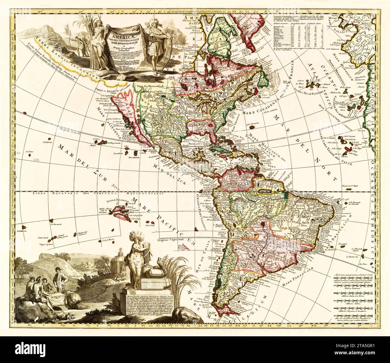 Old map of America. By Zuerner, publ. in Amsterdam, ca. 1700 Stock Photohttps://www.alamy.com/image-license-details/?v=1https://www.alamy.com/old-map-of-america-by-zuerner-publ-in-amsterdam-ca-1700-image574211653.html
RF2TA5GR1–Old map of America. By Zuerner, publ. in Amsterdam, ca. 1700
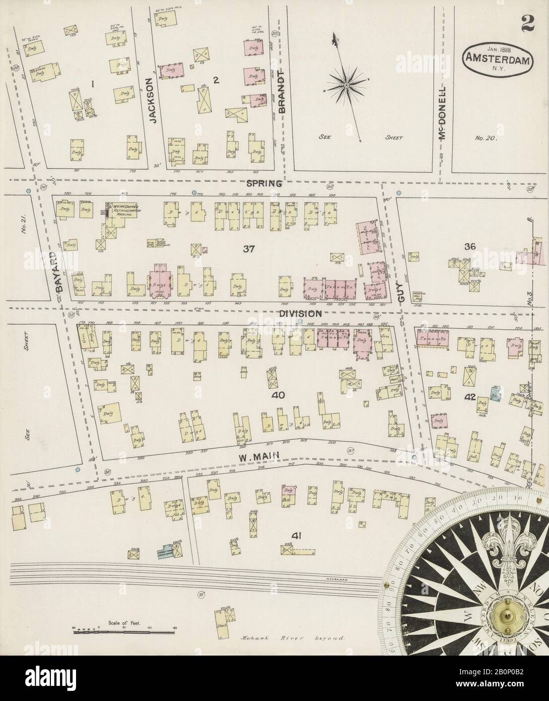 Image 2 of Sanborn Fire Insurance Map from Amsterdam, Montgomery County, New York. Jan 1888. 24 Sheet(s), America, street map with a Nineteenth Century compass Stock Photohttps://www.alamy.com/image-license-details/?v=1https://www.alamy.com/image-2-of-sanborn-fire-insurance-map-from-amsterdam-montgomery-county-new-york-jan-1888-24-sheets-america-street-map-with-a-nineteenth-century-compass-image344690614.html
RM2B0P0B2–Image 2 of Sanborn Fire Insurance Map from Amsterdam, Montgomery County, New York. Jan 1888. 24 Sheet(s), America, street map with a Nineteenth Century compass
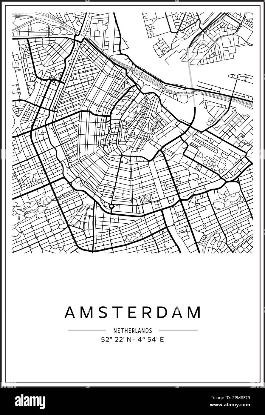 Black and white printable Amsterdam city map, poster design, vector illistration. Stock Vectorhttps://www.alamy.com/image-license-details/?v=1https://www.alamy.com/black-and-white-printable-amsterdam-city-map-poster-design-vector-illistration-image546002109.html
RF2PM8F79–Black and white printable Amsterdam city map, poster design, vector illistration.
 MOSCOW, RUSSIA - OCTOBER 7, 2019: Postage stamp printed in Netherlands shows Map of Amsterdam and crowd, Amsterdam serie, 35 c - Dutch cent, circa 197 Stock Photohttps://www.alamy.com/image-license-details/?v=1https://www.alamy.com/moscow-russia-october-7-2019-postage-stamp-printed-in-netherlands-shows-map-of-amsterdam-and-crowd-amsterdam-serie-35-c-dutch-cent-circa-197-image418383023.html
RF2F8JYPR–MOSCOW, RUSSIA - OCTOBER 7, 2019: Postage stamp printed in Netherlands shows Map of Amsterdam and crowd, Amsterdam serie, 35 c - Dutch cent, circa 197
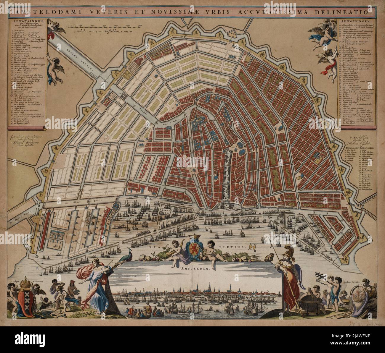 Vintage city plan of Amsterdam and area around it from 16th-18th century. Maps are beautifully hand illustrated and engraved showing it at the time. Stock Photohttps://www.alamy.com/image-license-details/?v=1https://www.alamy.com/vintage-city-plan-of-amsterdam-and-area-around-it-from-16th-18th-century-maps-are-beautifully-hand-illustrated-and-engraved-showing-it-at-the-time-image471387666.html
RF2JAWFNP–Vintage city plan of Amsterdam and area around it from 16th-18th century. Maps are beautifully hand illustrated and engraved showing it at the time.
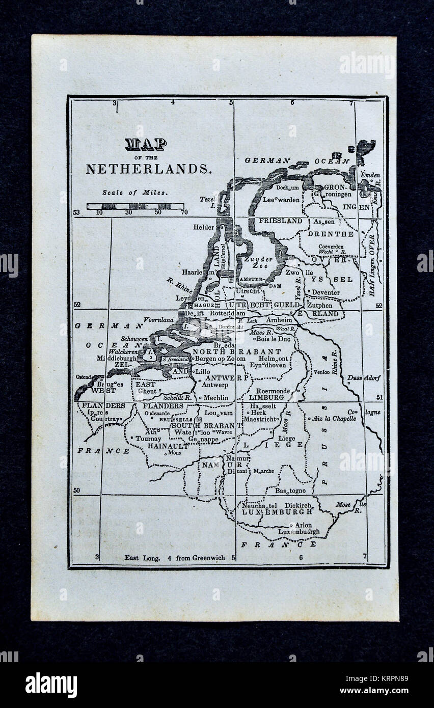 1830 Nathan Hale Map - Netherlands - Holland Belgium Brussels Amsterdam Luxembourg Stock Photohttps://www.alamy.com/image-license-details/?v=1https://www.alamy.com/stock-image-1830-nathan-hale-map-netherlands-holland-belgium-brussels-amsterdam-169530041.html
RFKRPN89–1830 Nathan Hale Map - Netherlands - Holland Belgium Brussels Amsterdam Luxembourg
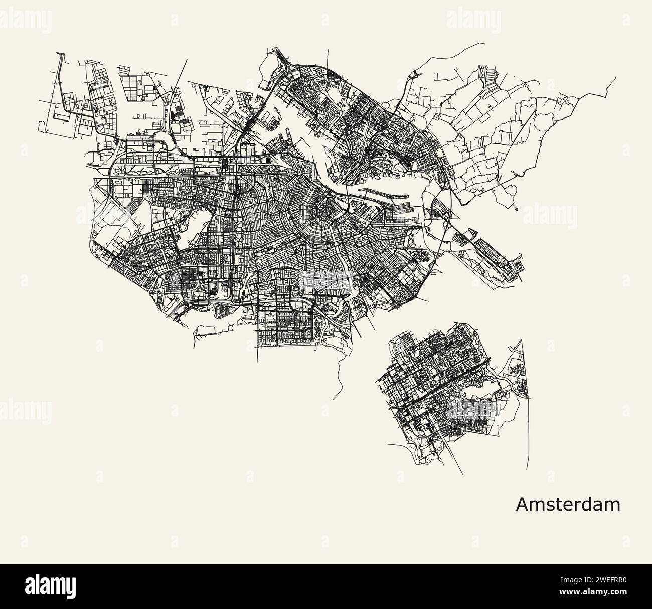 City map of Amsterdam, Netherlands Stock Vectorhttps://www.alamy.com/image-license-details/?v=1https://www.alamy.com/city-map-of-amsterdam-netherlands-image594105652.html
RF2WEFRR0–City map of Amsterdam, Netherlands
RF2J62CDG–DE Manatvs. op DE Noort Riuier [The Manatus Map Castello Copy] 1639 (Top) Manatvs GELEGEN op DE Noot Riuier [The Manatus Map Harrisse Copy The so-called Vingboons Survey] 1639 (Bottom) The period of discovery (1524-1609); the Dutch period (1609-1664). The English period (1664-1763). The Revolutionary period (1763-1783). Period of adjustment and reconstruction; New York as the state and federal capital (1783-1811) from The iconography of Manhattan Island, 1498-1909 compiled from original sources and illustrated by photo-intaglio reproductions of important maps, plans, views, and documents in p
 Netherlands vintage map. Grunge map of the country with distressed texture. Netherlands poster. Vector illustration. Stock Vectorhttps://www.alamy.com/image-license-details/?v=1https://www.alamy.com/netherlands-vintage-map-grunge-map-of-the-country-with-distressed-texture-netherlands-poster-vector-illustration-image501597659.html
RF2M41MX3–Netherlands vintage map. Grunge map of the country with distressed texture. Netherlands poster. Vector illustration.
 Made in Netherlands graphics and labels set. Some elements of impact for the use you want to make of it. Stock Vectorhttps://www.alamy.com/image-license-details/?v=1https://www.alamy.com/made-in-netherlands-graphics-and-labels-set-some-elements-of-impact-for-the-use-you-want-to-make-of-it-image466460535.html
RF2J2W34R–Made in Netherlands graphics and labels set. Some elements of impact for the use you want to make of it.
 Ancient map of Lisbon. The Very Large Portuguese City of Lisbon, a Most Famous Market Town for the Whole East and West India. Amsterdam : Joducus Hondius, 1619. Stock Photohttps://www.alamy.com/image-license-details/?v=1https://www.alamy.com/ancient-map-of-lisbon-the-very-large-portuguese-city-of-lisbon-a-most-famous-market-town-for-the-whole-east-and-west-india-amsterdam-joducus-hondius-1619-image612029079.html
RM2XFM99B–Ancient map of Lisbon. The Very Large Portuguese City of Lisbon, a Most Famous Market Town for the Whole East and West India. Amsterdam : Joducus Hondius, 1619.
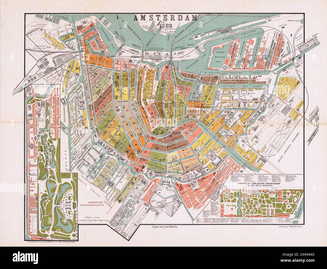 Vintage map of Amsterdam, 1888 Stock Photohttps://www.alamy.com/image-license-details/?v=1https://www.alamy.com/vintage-map-of-amsterdam-1888-image605027024.html
RM2X49A40–Vintage map of Amsterdam, 1888
 Amsterdam, Herengracht, komende van de Leidsestraat (7985086240) (2) Stock Photohttps://www.alamy.com/image-license-details/?v=1https://www.alamy.com/stock-image-amsterdam-herengracht-komende-van-de-leidsestraat-7985086240-2-162802220.html
RMKCT7W0–Amsterdam, Herengracht, komende van de Leidsestraat (7985086240) (2)