Quick filters:
Vintage map of bermuda Stock Photos and Images
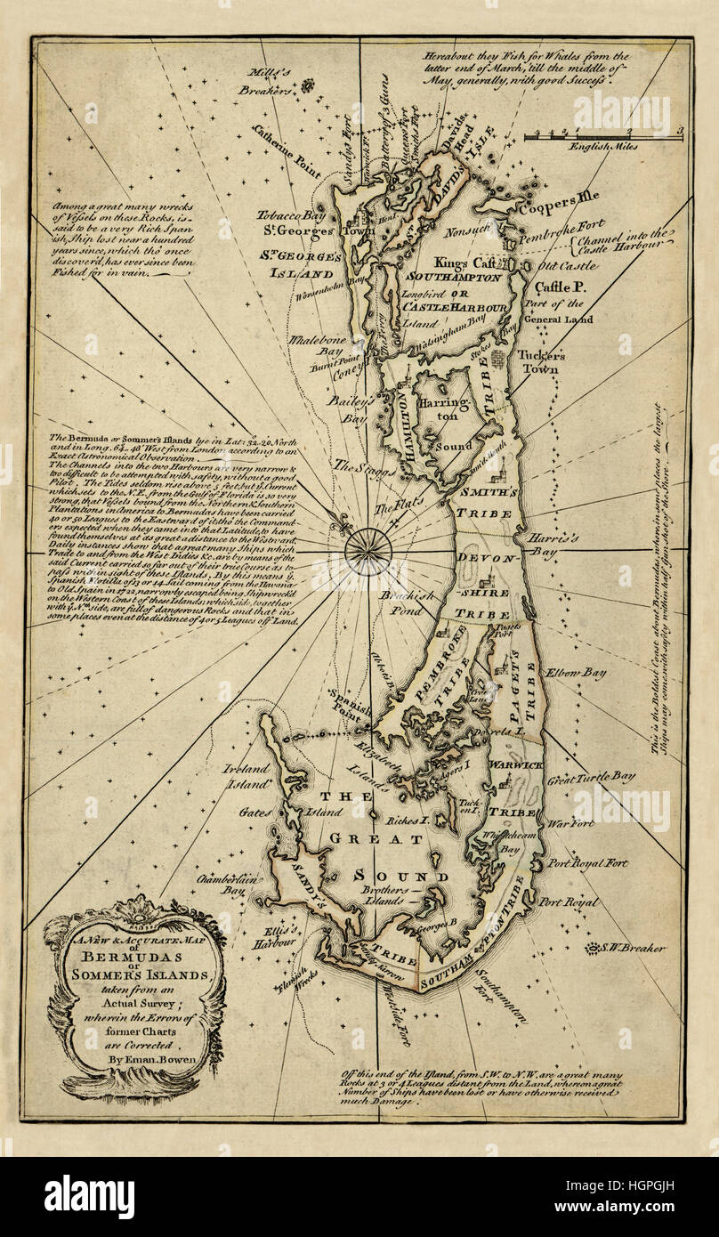 Map Of Bermuda 1750 Stock Photohttps://www.alamy.com/image-license-details/?v=1https://www.alamy.com/stock-photo-map-of-bermuda-1750-130803081.html
RFHGPGJH–Map Of Bermuda 1750
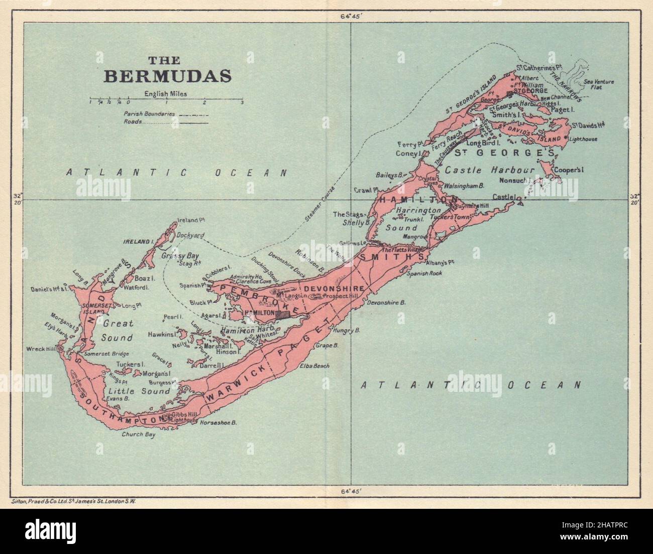 THE BERMUDAS. Vintage map. Bermuda 1923 old vintage plan chart Stock Photohttps://www.alamy.com/image-license-details/?v=1https://www.alamy.com/the-bermudas-vintage-map-bermuda-1923-old-vintage-plan-chart-image454160880.html
RF2HATPRC–THE BERMUDAS. Vintage map. Bermuda 1923 old vintage plan chart
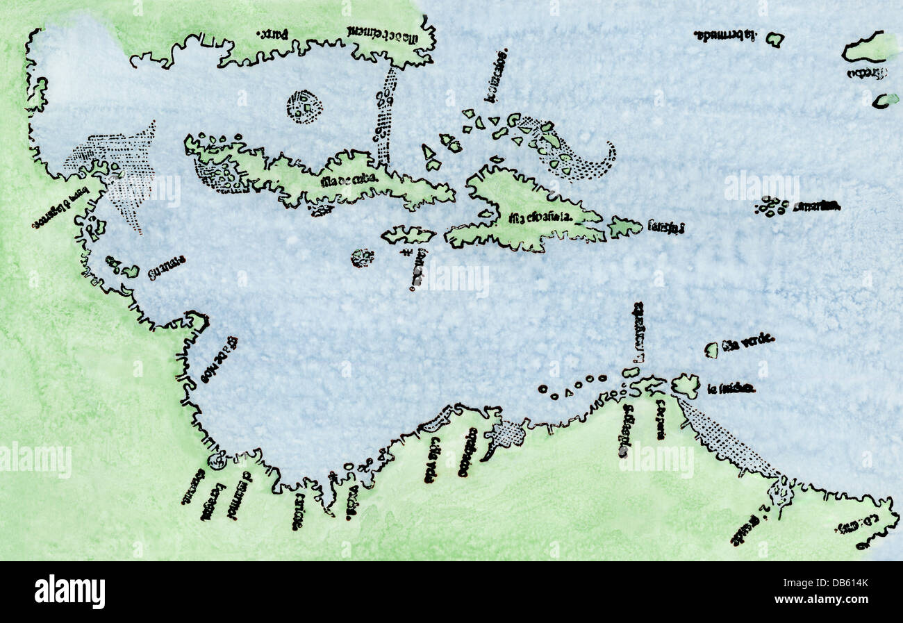 Map of the New World, including earliest knowledge of Bermuda, 1511. Hand-colored woodcut after Peter Martyr Stock Photohttps://www.alamy.com/image-license-details/?v=1https://www.alamy.com/stock-photo-map-of-the-new-world-including-earliest-knowledge-of-bermuda-1511-58524947.html
RMDB614K–Map of the New World, including earliest knowledge of Bermuda, 1511. Hand-colored woodcut after Peter Martyr
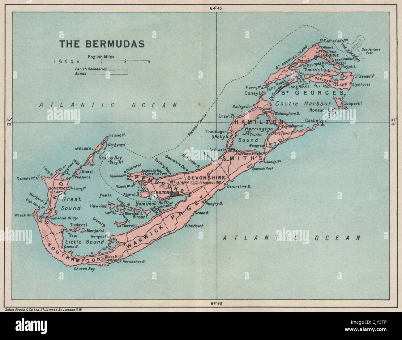 THE BERMUDAS. Vintage map. Bermuda, 1927 Stock Photohttps://www.alamy.com/image-license-details/?v=1https://www.alamy.com/stock-photo-the-bermudas-vintage-map-bermuda-1927-114921766.html
RFGJY3TP–THE BERMUDAS. Vintage map. Bermuda, 1927
 Vintage map. Myth about Bermuda Triangle and Flying Dutchman Stock Photohttps://www.alamy.com/image-license-details/?v=1https://www.alamy.com/stock-photo-vintage-map-myth-about-bermuda-triangle-and-flying-dutchman-43246750.html
RFCEA1JP–Vintage map. Myth about Bermuda Triangle and Flying Dutchman
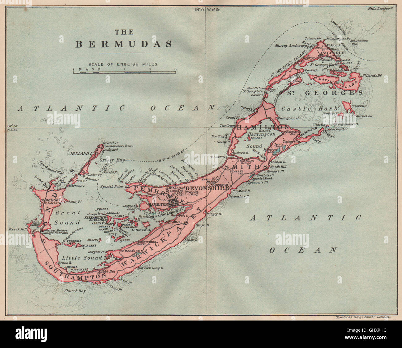 THE BERMUDAS. Vintage map. Bermuda, 1914 Stock Photohttps://www.alamy.com/image-license-details/?v=1https://www.alamy.com/stock-photo-the-bermudas-vintage-map-bermuda-1914-114300636.html
RFGHXRHG–THE BERMUDAS. Vintage map. Bermuda, 1914
 Map of Bermuda Stock Photohttps://www.alamy.com/image-license-details/?v=1https://www.alamy.com/stock-photo-map-of-bermuda-74688705.html
RME9EA5N–Map of Bermuda
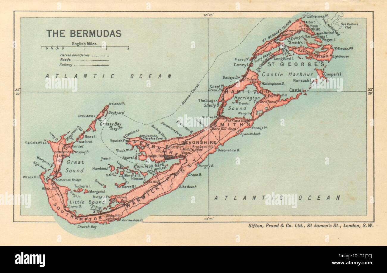 THE BERMUDAS. Vintage map. Bermuda 1935 old vintage plan chart Stock Photohttps://www.alamy.com/image-license-details/?v=1https://www.alamy.com/the-bermudas-vintage-map-bermuda-1935-old-vintage-plan-chart-image242588770.html
RFT2JTCJ–THE BERMUDAS. Vintage map. Bermuda 1935 old vintage plan chart
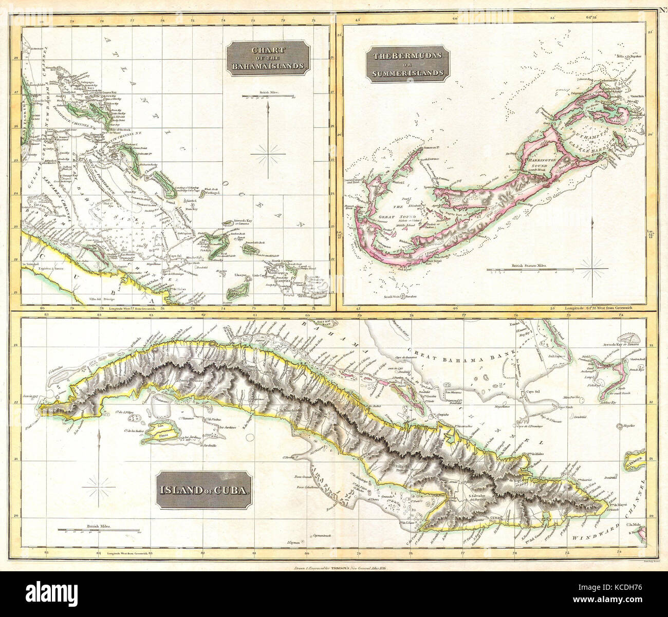 1815, Thomson Map of Cuba. Bermuda and the Bahamas, John Thomson, 1777 - 1840, was a Scottish cartographer from Edinburgh, UK Stock Photohttps://www.alamy.com/image-license-details/?v=1https://www.alamy.com/stock-image-1815-thomson-map-of-cuba-bermuda-and-the-bahamas-john-thomson-1777-162568090.html
RMKCDH76–1815, Thomson Map of Cuba. Bermuda and the Bahamas, John Thomson, 1777 - 1840, was a Scottish cartographer from Edinburgh, UK
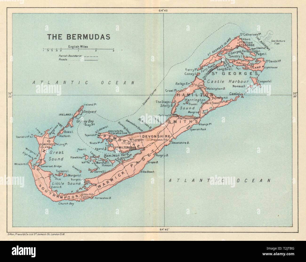 THE BERMUDAS. Vintage map. Bermuda 1931 old vintage plan chart Stock Photohttps://www.alamy.com/image-license-details/?v=1https://www.alamy.com/the-bermudas-vintage-map-bermuda-1931-old-vintage-plan-chart-image242588740.html
RFT2JTBG–THE BERMUDAS. Vintage map. Bermuda 1931 old vintage plan chart
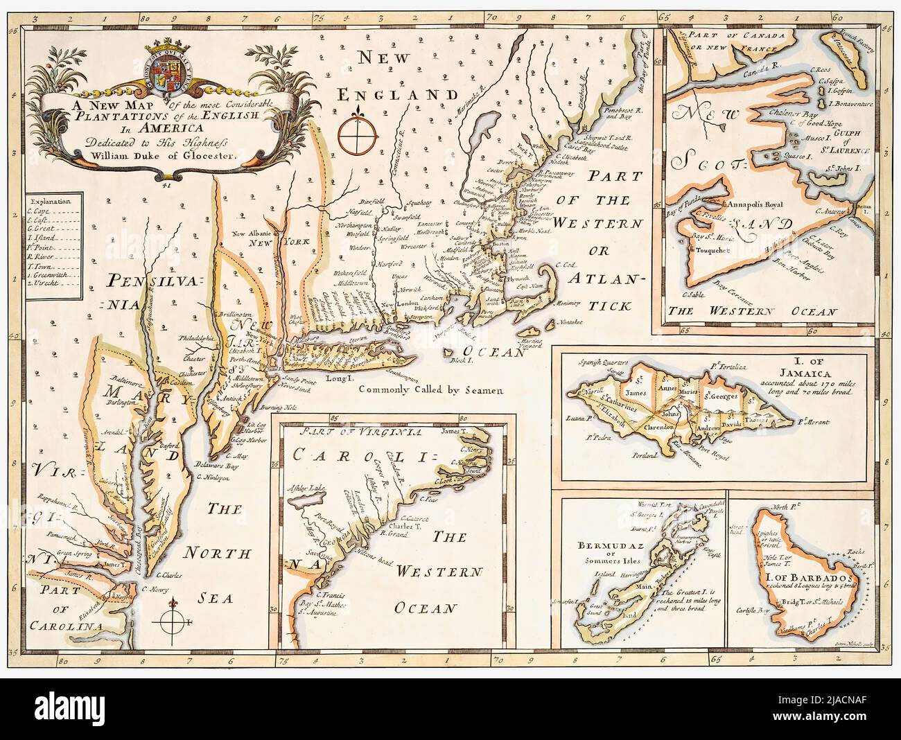 Title: A new map of the most considerable plantations of the English in America. This is a restored reproduction of an antique map that features an early depiction of the British Colonies in North America in the early 1700s. Insets show maps of Bermuda, Barbados, the Carolinas, Jamaica, and Nova Scotia. Stock Photohttps://www.alamy.com/image-license-details/?v=1https://www.alamy.com/title-a-new-map-of-the-most-considerable-plantations-of-the-english-in-america-this-is-a-restored-reproduction-of-an-antique-map-that-features-an-early-depiction-of-the-british-colonies-in-north-america-in-the-early-1700s-insets-show-maps-of-bermuda-barbados-the-carolinas-jamaica-and-nova-scotia-image471106679.html
RF2JACNAF–Title: A new map of the most considerable plantations of the English in America. This is a restored reproduction of an antique map that features an early depiction of the British Colonies in North America in the early 1700s. Insets show maps of Bermuda, Barbados, the Carolinas, Jamaica, and Nova Scotia.
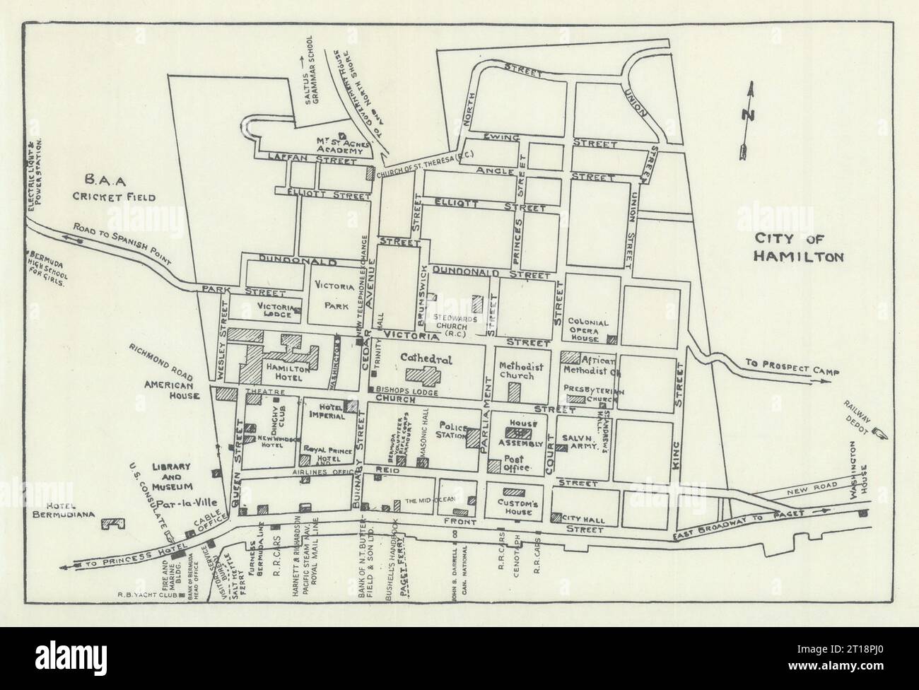 Hamilton, Bermuda town / city plan by John Bushell 1938 old vintage map chart Stock Photohttps://www.alamy.com/image-license-details/?v=1https://www.alamy.com/hamilton-bermuda-town-city-plan-by-john-bushell-1938-old-vintage-map-chart-image568750168.html
RF2T18PJ0–Hamilton, Bermuda town / city plan by John Bushell 1938 old vintage map chart
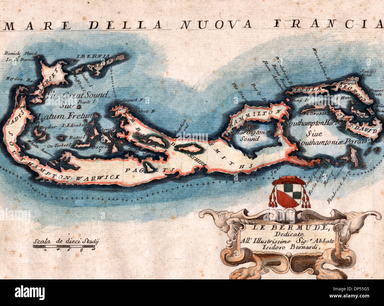 Bermuda Islands, 1692 Stock Photohttps://www.alamy.com/image-license-details/?v=1https://www.alamy.com/bermuda-islands-1692-image65267669.html
RMDP55G5–Bermuda Islands, 1692
 Vintage map of Bermuda on grunge paper Stock Photohttps://www.alamy.com/image-license-details/?v=1https://www.alamy.com/stock-photo-vintage-map-of-bermuda-on-grunge-paper-49098647.html
RFCRTHR3–Vintage map of Bermuda on grunge paper
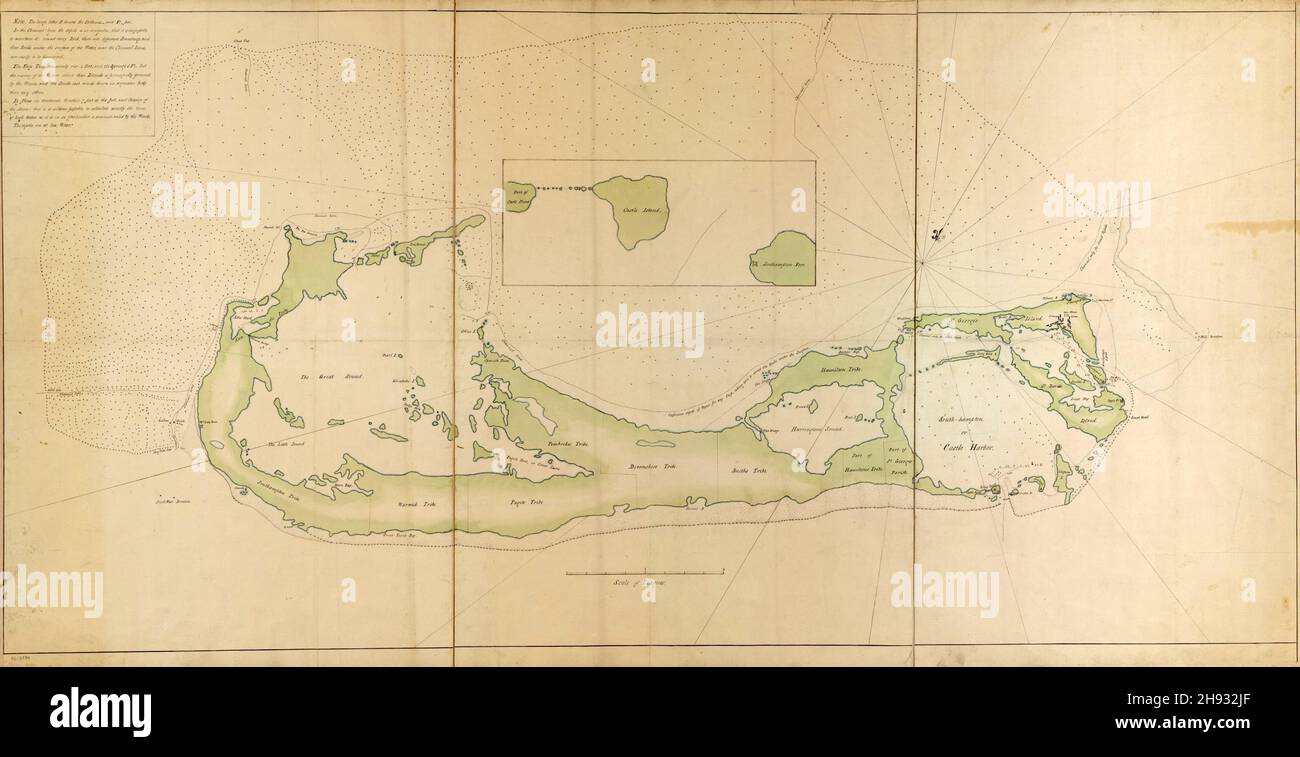 Eighteenth century map of the Bermuda islands in the West Indies, ca. 1760's Stock Photohttps://www.alamy.com/image-license-details/?v=1https://www.alamy.com/eighteenth-century-map-of-the-bermuda-islands-in-the-west-indies-ca-1760s-image453069415.html
RM2H932JF–Eighteenth century map of the Bermuda islands in the West Indies, ca. 1760's
 Bermuda on the map of North America in soft grunge and vintage style, like old paper with watercolor painting. Stock Photohttps://www.alamy.com/image-license-details/?v=1https://www.alamy.com/bermuda-on-the-map-of-north-america-in-soft-grunge-and-vintage-style-like-old-paper-with-watercolor-painting-image495873421.html
RF2KPMYH1–Bermuda on the map of North America in soft grunge and vintage style, like old paper with watercolor painting.
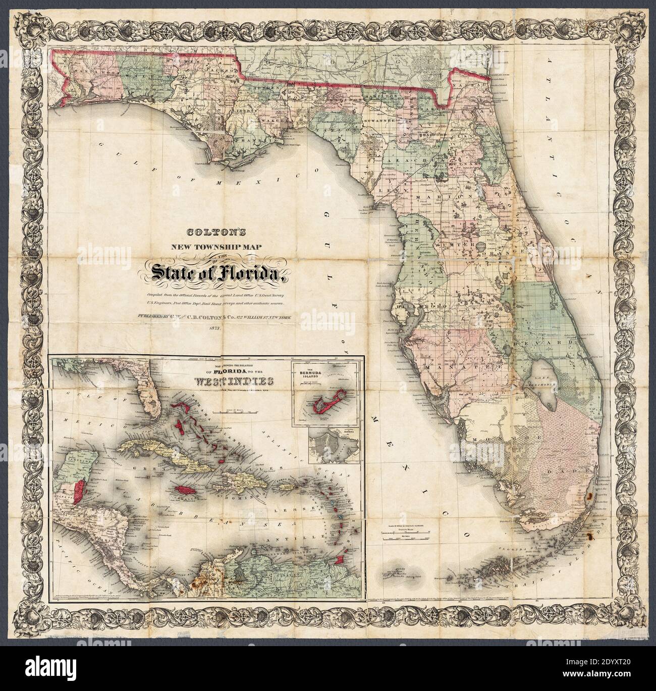 Title of original source: 'Colton's new township map of the state of Florida.' This circa 1873 detailed map includes a maps of the Caribbean, Bermuda, and the city of Havana. Also shows railroads, lakes, swamps, and counties. Stock Photohttps://www.alamy.com/image-license-details/?v=1https://www.alamy.com/title-of-original-source-coltons-new-township-map-of-the-state-of-florida-this-circa-1873-detailed-map-includes-a-maps-of-the-caribbean-bermuda-and-the-city-of-havana-also-shows-railroads-lakes-swamps-and-counties-image395813432.html
RM2DYXT20–Title of original source: 'Colton's new township map of the state of Florida.' This circa 1873 detailed map includes a maps of the Caribbean, Bermuda, and the city of Havana. Also shows railroads, lakes, swamps, and counties.
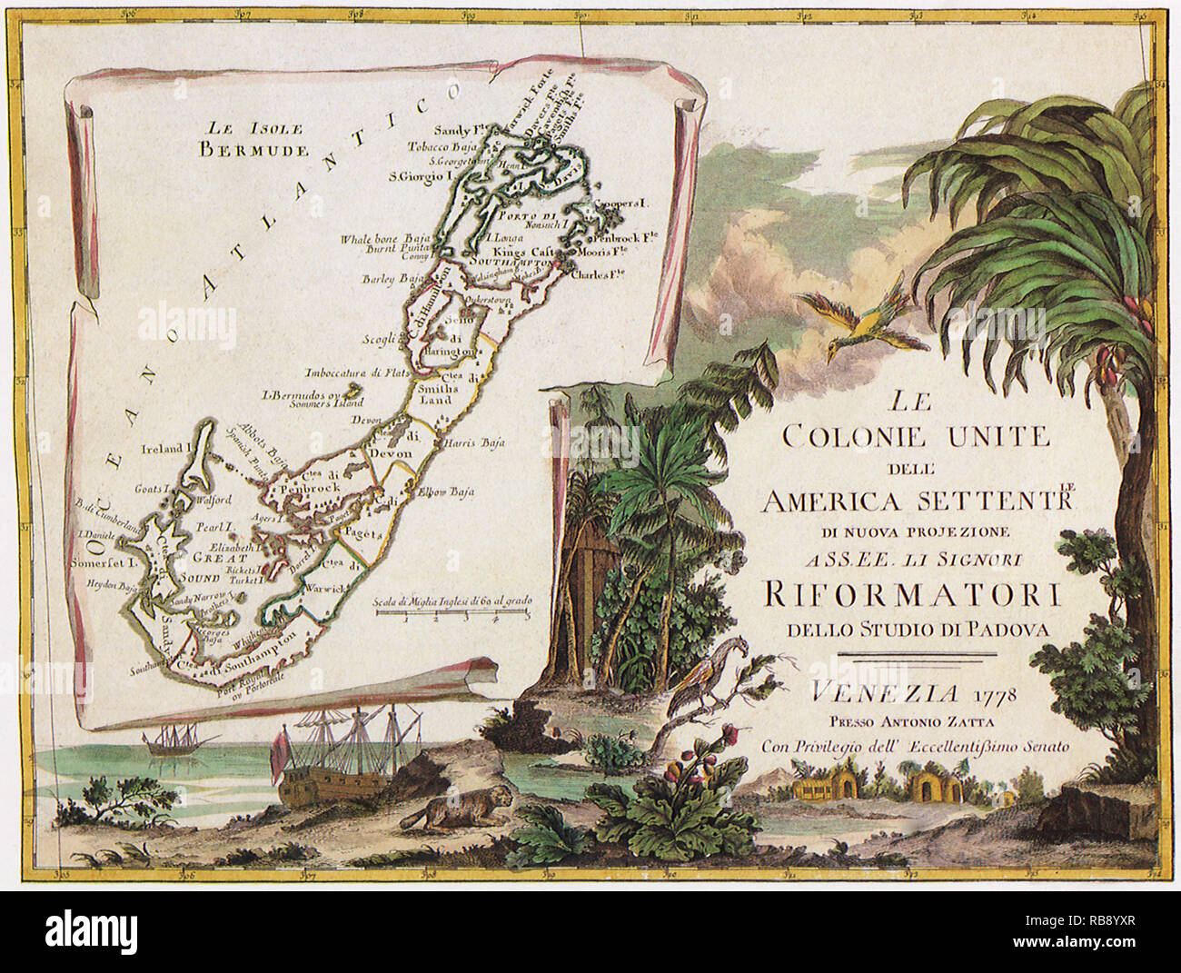 English Colonies 1778 Stock Photohttps://www.alamy.com/image-license-details/?v=1https://www.alamy.com/english-colonies-1778-image230693535.html
RMRB8YXR–English Colonies 1778
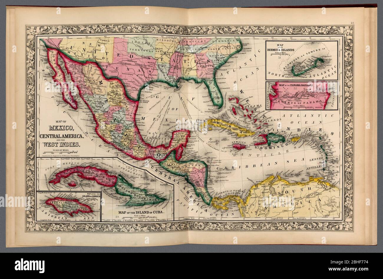 Map of Mexico, Central America, the West Indies, Cuba; Jamaica; Bermuda Islands, and a map of the Panama Railroad. A restored historic map reproduction. Shows map within open atlas. Stock Photohttps://www.alamy.com/image-license-details/?v=1https://www.alamy.com/map-of-mexico-central-america-the-west-indies-cuba-jamaica-bermuda-islands-and-a-map-of-the-panama-railroad-a-restored-historic-map-reproduction-shows-map-within-open-atlas-image354991480.html
RM2BHF774–Map of Mexico, Central America, the West Indies, Cuba; Jamaica; Bermuda Islands, and a map of the Panama Railroad. A restored historic map reproduction. Shows map within open atlas.
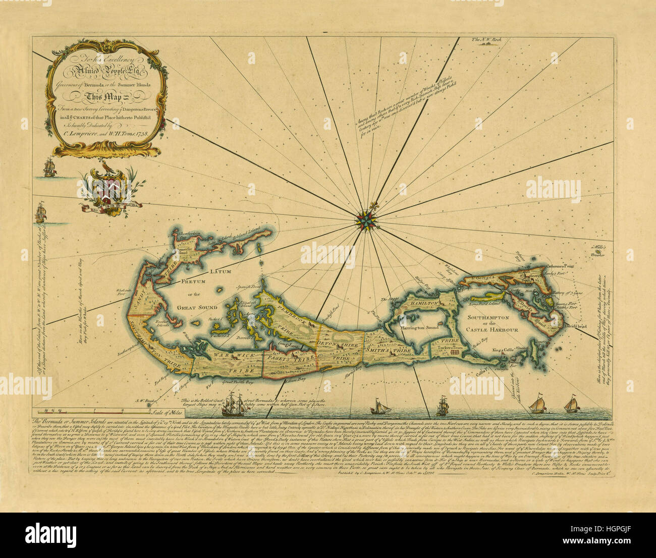 Map Of Bermuda 1732 Stock Photohttps://www.alamy.com/image-license-details/?v=1https://www.alamy.com/stock-photo-map-of-bermuda-1732-130803079.html
RFHGPGJF–Map Of Bermuda 1732
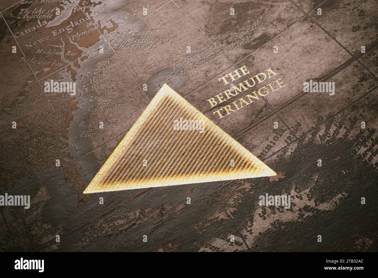 Mysterious Bermuda Triangle Concept Over Aged Cartographic Map Stock Photohttps://www.alamy.com/image-license-details/?v=1https://www.alamy.com/mysterious-bermuda-triangle-concept-over-aged-cartographic-map-image574771076.html
RF2TB32AC–Mysterious Bermuda Triangle Concept Over Aged Cartographic Map
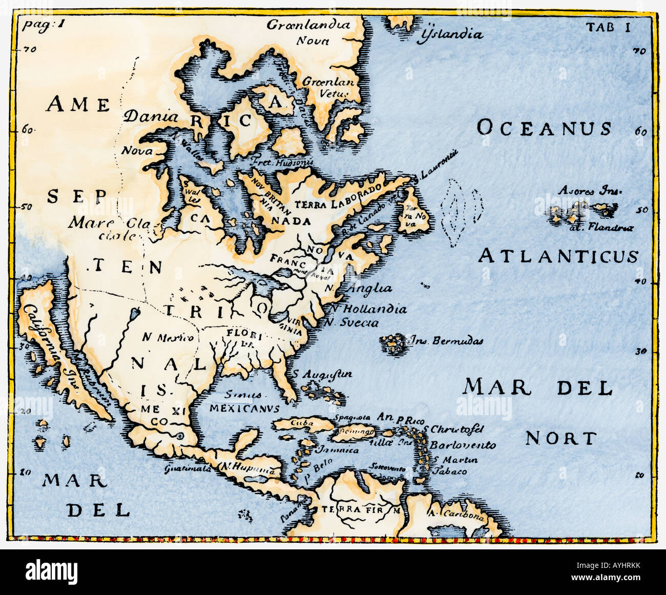 Map of North America as known in the mid-1600s with California as an island. Hand-colored woodcut Stock Photohttps://www.alamy.com/image-license-details/?v=1https://www.alamy.com/stock-photo-map-of-north-america-as-known-in-the-mid-1600s-with-california-as-17114838.html
RMAYHRKK–Map of North America as known in the mid-1600s with California as an island. Hand-colored woodcut
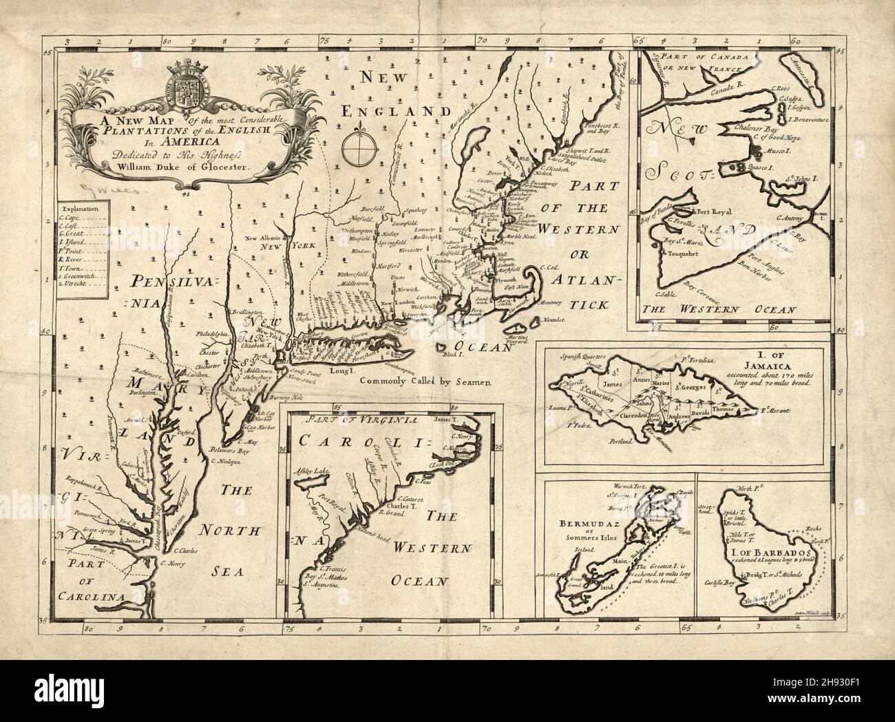 Vintage map of English plantations in America and the West Indies, ca. 1722 Stock Photohttps://www.alamy.com/image-license-details/?v=1https://www.alamy.com/vintage-map-of-english-plantations-in-america-and-the-west-indies-ca-1722-image453067749.html
RM2H930F1–Vintage map of English plantations in America and the West Indies, ca. 1722
 West Indies and Central America 1876 Map. Map shows islands and important landmarks of the Caribbean Sea. This is a beautifully detailed historic map reproduction. This restored, detailed reproduction brings out many details and landmarks, making this map a great historical reference. Stock Photohttps://www.alamy.com/image-license-details/?v=1https://www.alamy.com/west-indies-and-central-america-1876-map-map-shows-islands-and-important-landmarks-of-the-caribbean-sea-this-is-a-beautifully-detailed-historic-map-reproduction-this-restored-detailed-reproduction-brings-out-many-details-and-landmarks-making-this-map-a-great-historical-reference-image502168893.html
RM2M4YNF9–West Indies and Central America 1876 Map. Map shows islands and important landmarks of the Caribbean Sea. This is a beautifully detailed historic map reproduction. This restored, detailed reproduction brings out many details and landmarks, making this map a great historical reference.
 Map of the West Indies, inset of Bermuda Islands, 1864, by Alvin Jewett Johnson Stock Photohttps://www.alamy.com/image-license-details/?v=1https://www.alamy.com/map-of-the-west-indies-inset-of-bermuda-islands-1864-by-alvin-jewett-johnson-image475038266.html
RF2JGRT4A–Map of the West Indies, inset of Bermuda Islands, 1864, by Alvin Jewett Johnson
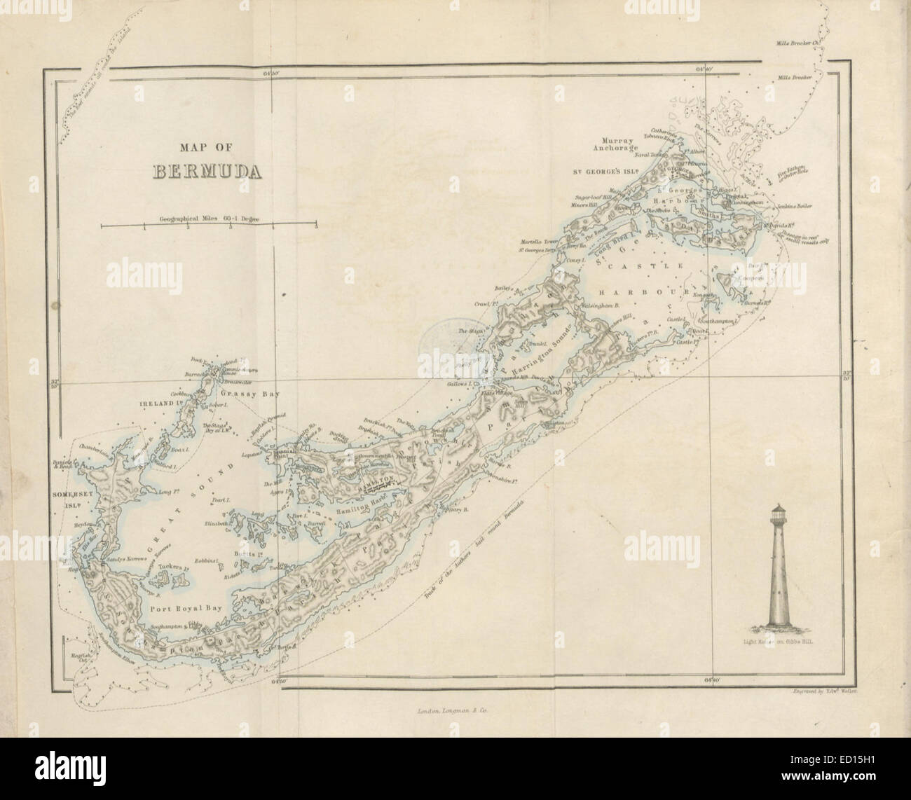 Map of Bermuda Stock Photohttps://www.alamy.com/image-license-details/?v=1https://www.alamy.com/stock-photo-map-of-bermuda-76858349.html
RMED15H1–Map of Bermuda
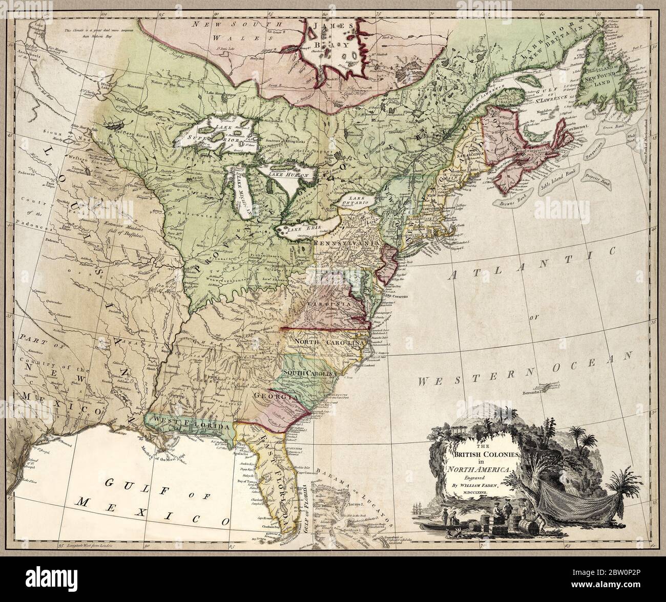 'The British colonies in North America.' Map shows important landmarks of the North American continent at about the time of the American Revolution. The British had 15 colonies at about that time in North America--not 13. Note that the 14th and 15th British North American Colonies are included: West Florida and East Florida. The New England colonies are clustered together under the name New England. Map also notes Indian areas. This is a beautifully detailed historic map reproduction. Original from a British atlas published by famed cartographer William Faden was created circa 1777. Stock Photohttps://www.alamy.com/image-license-details/?v=1https://www.alamy.com/the-british-colonies-in-north-america-map-shows-important-landmarks-of-the-north-american-continent-at-about-the-time-of-the-american-revolution-the-british-had-15-colonies-at-about-that-time-in-north-america-not-13-note-that-the-14th-and-15th-british-north-american-colonies-are-included-west-florida-and-east-florida-the-new-england-colonies-are-clustered-together-under-the-name-new-england-map-also-notes-indian-areas-this-is-a-beautifully-detailed-historic-map-reproduction-original-from-a-british-atlas-published-by-famed-cartographer-william-faden-was-created-circa-1777-image359591086.html
RM2BW0P2P–'The British colonies in North America.' Map shows important landmarks of the North American continent at about the time of the American Revolution. The British had 15 colonies at about that time in North America--not 13. Note that the 14th and 15th British North American Colonies are included: West Florida and East Florida. The New England colonies are clustered together under the name New England. Map also notes Indian areas. This is a beautifully detailed historic map reproduction. Original from a British atlas published by famed cartographer William Faden was created circa 1777.
 Map of Bermuda ca. 1976 Stock Photohttps://www.alamy.com/image-license-details/?v=1https://www.alamy.com/map-of-bermuda-ca-1976-image454753108.html
RM2HBRP6C–Map of Bermuda ca. 1976
 Map of Bermuda 1511 legatio babylonica Stock Photohttps://www.alamy.com/image-license-details/?v=1https://www.alamy.com/stock-photo-map-of-bermuda-1511-legatio-babylonica-142961247.html
RMJ8GCER–Map of Bermuda 1511 legatio babylonica
 Sea map with illustrations of sailing vessels and compass rose on the order of antiquities on birchbark Stock Photohttps://www.alamy.com/image-license-details/?v=1https://www.alamy.com/sea-map-with-illustrations-of-sailing-vessels-and-compass-rose-on-the-order-of-antiquities-on-birchbark-image222742539.html
RFPXAPAK–Sea map with illustrations of sailing vessels and compass rose on the order of antiquities on birchbark
 The Bermuda Islands - Bushell's Bermuda handbook - by John Bushell 1938 map Stock Photohttps://www.alamy.com/image-license-details/?v=1https://www.alamy.com/the-bermuda-islands-bushells-bermuda-handbook-by-john-bushell-1938-map-image568750178.html
RF2T18PJA–The Bermuda Islands - Bushell's Bermuda handbook - by John Bushell 1938 map
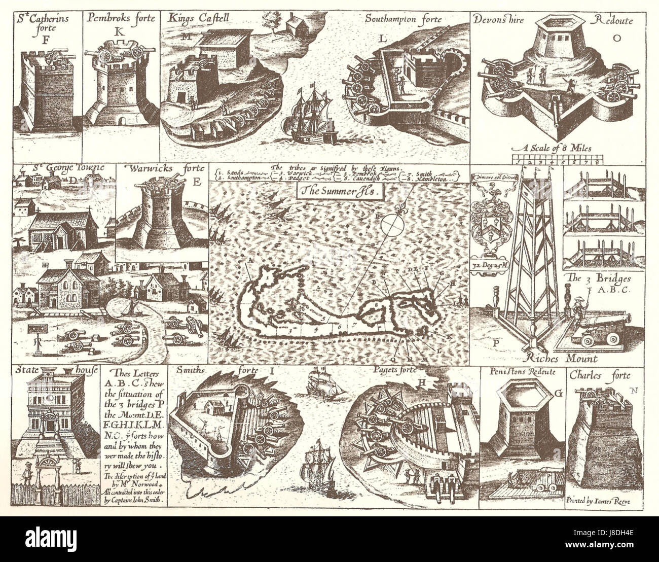 John Smith 1624 map of Bermuda with Forts 01 Stock Photohttps://www.alamy.com/image-license-details/?v=1https://www.alamy.com/stock-photo-john-smith-1624-map-of-bermuda-with-forts-01-142899022.html
RMJ8DH4E–John Smith 1624 map of Bermuda with Forts 01
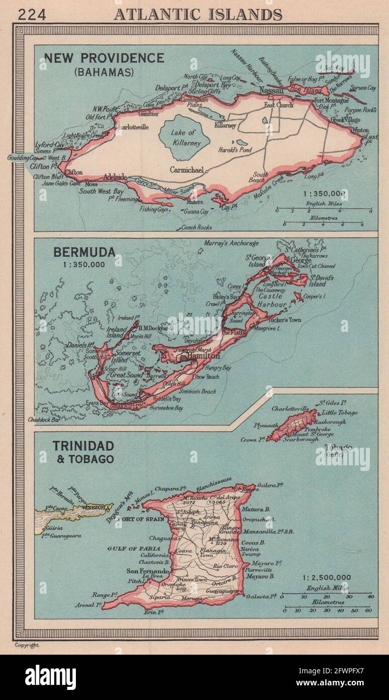 New Providence, Bahamas. Bermuda. Trinidad Tobago. BARTHOLOMEW 1949 old map Stock Photohttps://www.alamy.com/image-license-details/?v=1https://www.alamy.com/new-providence-bahamas-bermuda-trinidad-tobago-bartholomew-1949-old-map-image428910671.html
RF2FWPFX7–New Providence, Bahamas. Bermuda. Trinidad Tobago. BARTHOLOMEW 1949 old map
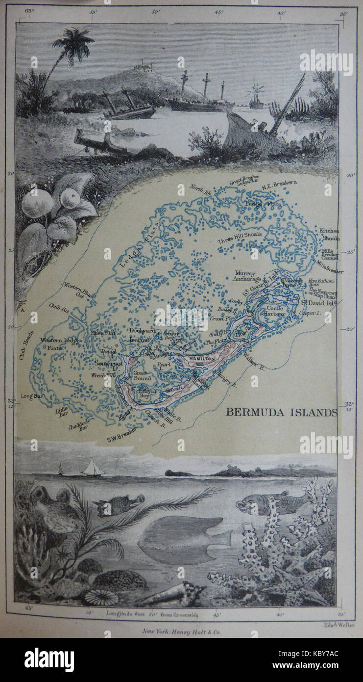 1885 Map of Bermuda and its reefs by Anna Brassey Stock Photohttps://www.alamy.com/image-license-details/?v=1https://www.alamy.com/stock-image-1885-map-of-bermuda-and-its-reefs-by-anna-brassey-162253012.html
RMKBY7AC–1885 Map of Bermuda and its reefs by Anna Brassey
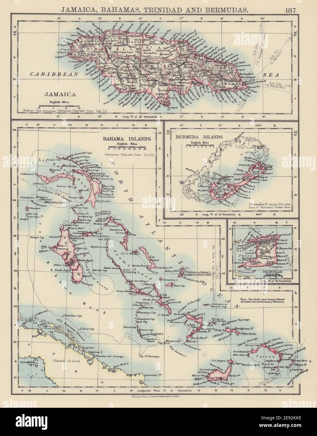 CARIBBEAN/ATLANTIC ISLANDS. Jamaica Bermuda Bahamas Trinidad. JOHNSTON 1901 map Stock Photohttps://www.alamy.com/image-license-details/?v=1https://www.alamy.com/caribbeanatlantic-islands-jamaica-bermuda-bahamas-trinidad-johnston-1901-map-image401429714.html
RF2E92KKE–CARIBBEAN/ATLANTIC ISLANDS. Jamaica Bermuda Bahamas Trinidad. JOHNSTON 1901 map
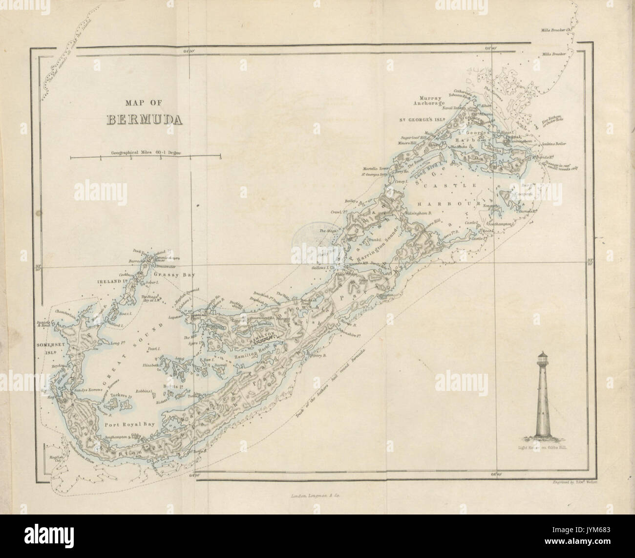 Map of Bermuda Stock Photohttps://www.alamy.com/image-license-details/?v=1https://www.alamy.com/map-of-bermuda-image154722627.html
RMJYM683–Map of Bermuda
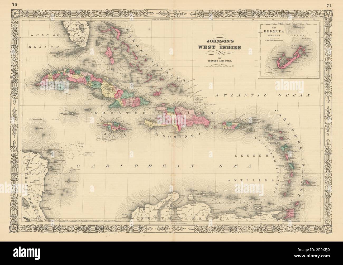 Johnson's West Indies. Bermuda Islands. Caribbean Bahamas Antilles 1866 map Stock Photohttps://www.alamy.com/image-license-details/?v=1https://www.alamy.com/johnsons-west-indies-bermuda-islands-caribbean-bahamas-antilles-1866-map-image556846696.html
RF2R9XFJ0–Johnson's West Indies. Bermuda Islands. Caribbean Bahamas Antilles 1866 map
 Old map of Central America and Caribbean with Bermuda islands insert map. By Gray and Davis, publ. In Reading, Pennsylvania, 1876 Stock Photohttps://www.alamy.com/image-license-details/?v=1https://www.alamy.com/old-map-of-central-america-and-caribbean-with-bermuda-islands-insert-map-by-gray-and-davis-publ-in-reading-pennsylvania-1876-image574211711.html
RF2TA5GW3–Old map of Central America and Caribbean with Bermuda islands insert map. By Gray and Davis, publ. In Reading, Pennsylvania, 1876
 Map Of Bermuda 1678 Stock Photohttps://www.alamy.com/image-license-details/?v=1https://www.alamy.com/stock-photo-map-of-bermuda-1678-130803078.html
RFHGPGJE–Map Of Bermuda 1678
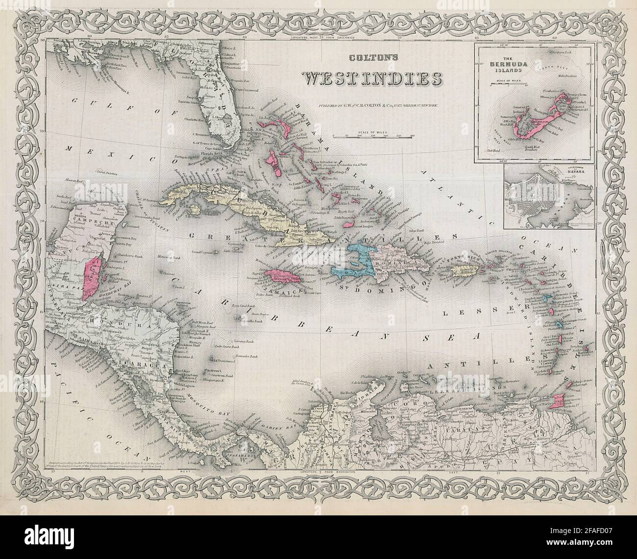 Colton's West Indies. Bermuda & Havana. Caribbean Antilles 1869 old map Stock Photohttps://www.alamy.com/image-license-details/?v=1https://www.alamy.com/coltons-west-indies-bermuda-havana-caribbean-antilles-1869-old-map-image419534871.html
RF2FAFD07–Colton's West Indies. Bermuda & Havana. Caribbean Antilles 1869 old map
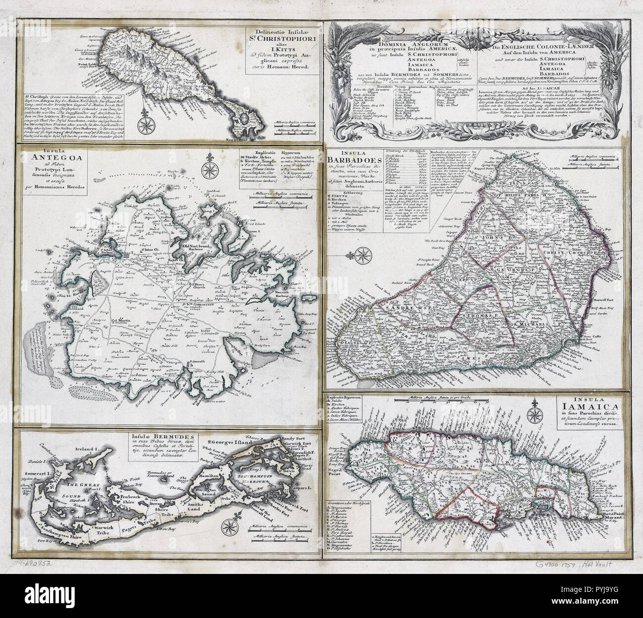 Vintage Maps / Antique Maps - Barbados, Jamacia, Bermuda, Antiqua, St. Kitts and other islands ca. 1759 Stock Photohttps://www.alamy.com/image-license-details/?v=1https://www.alamy.com/vintage-maps-antique-maps-barbados-jamacia-bermuda-antiqua-st-kitts-and-other-islands-ca-1759-image223523092.html
RMPYJ9YG–Vintage Maps / Antique Maps - Barbados, Jamacia, Bermuda, Antiqua, St. Kitts and other islands ca. 1759
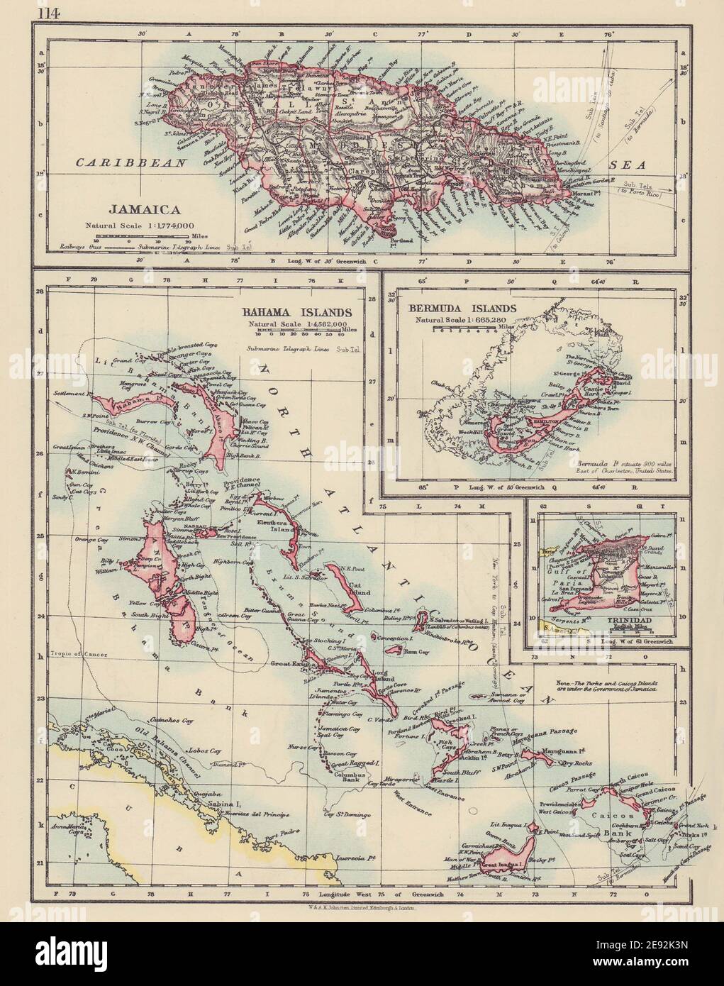 CARIBBEAN/ATLANTIC ISLANDS. Jamaica Bermuda Bahamas Trinidad. JOHNSTON 1910 map Stock Photohttps://www.alamy.com/image-license-details/?v=1https://www.alamy.com/caribbeanatlantic-islands-jamaica-bermuda-bahamas-trinidad-johnston-1910-map-image401429273.html
RF2E92K3N–CARIBBEAN/ATLANTIC ISLANDS. Jamaica Bermuda Bahamas Trinidad. JOHNSTON 1910 map
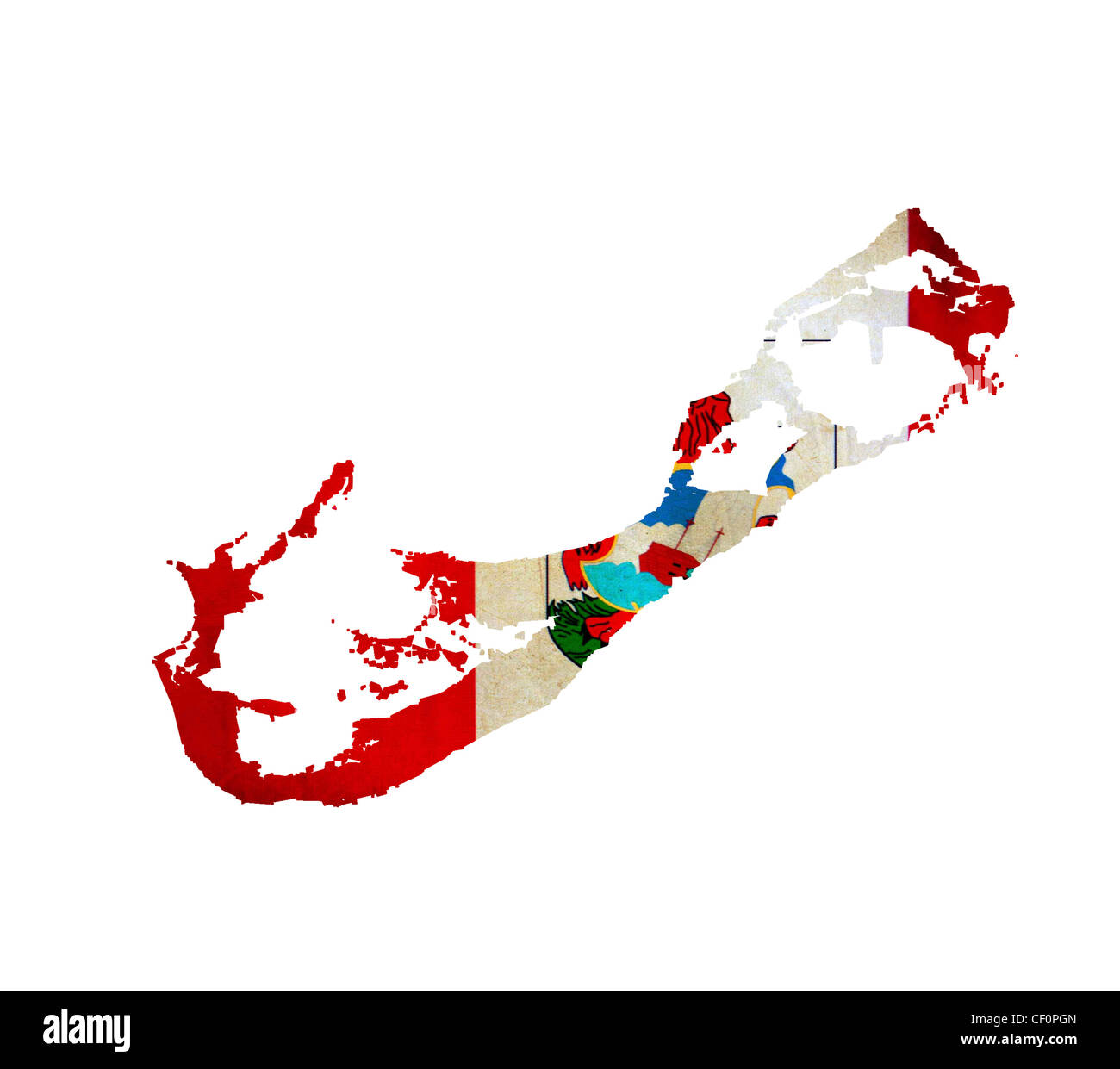 Map of Bermuda isolated Stock Photohttps://www.alamy.com/image-license-details/?v=1https://www.alamy.com/stock-photo-map-of-bermuda-isolated-43658293.html
RFCF0PGN–Map of Bermuda isolated
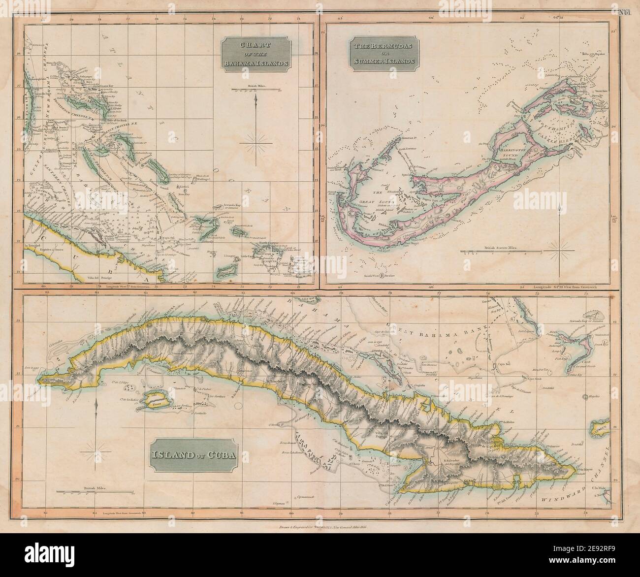 The Bahamas, Cuba & Bermuda 'or Summer Islands'. THOMSON 1817 old antique map Stock Photohttps://www.alamy.com/image-license-details/?v=1https://www.alamy.com/the-bahamas-cuba-bermuda-or-summer-islands-thomson-1817-old-antique-map-image401432733.html
RF2E92RF9–The Bahamas, Cuba & Bermuda 'or Summer Islands'. THOMSON 1817 old antique map
 019 Bermuda-Dandy Stock Photohttps://www.alamy.com/image-license-details/?v=1https://www.alamy.com/stock-photo-019-bermuda-dandy-74421542.html
RME925C6–019 Bermuda-Dandy
 John Smith 1624 map of Bermuda with Forts 01. Stock Photohttps://www.alamy.com/image-license-details/?v=1https://www.alamy.com/john-smith-1624-map-of-bermuda-with-forts-01-image374188547.html
RM2CMNN8K–John Smith 1624 map of Bermuda with Forts 01.
 Bermuda round rubber stamp with island map. Vintage red passport stamp with circular text and stars, vector illustration. Stock Vectorhttps://www.alamy.com/image-license-details/?v=1https://www.alamy.com/bermuda-round-rubber-stamp-with-island-map-vintage-red-passport-stamp-with-circular-text-and-stars-vector-illustration-image523989994.html
RF2NCDPGA–Bermuda round rubber stamp with island map. Vintage red passport stamp with circular text and stars, vector illustration.
 Map of operations at Bermuda Hundred and Drewry's Bluff, Virginia, 10th May 1864. Stock Photohttps://www.alamy.com/image-license-details/?v=1https://www.alamy.com/map-of-operations-at-bermuda-hundred-and-drewrys-bluff-virginia-10th-may-1864-image398181833.html
RM2E3PMYN–Map of operations at Bermuda Hundred and Drewry's Bluff, Virginia, 10th May 1864.
 Sea map with illustrations of sailing vessels and compass rose on the order of antiquities on birchbark Stock Photohttps://www.alamy.com/image-license-details/?v=1https://www.alamy.com/sea-map-with-illustrations-of-sailing-vessels-and-compass-rose-on-the-order-of-antiquities-on-birchbark-image222742576.html
RFPXAPC0–Sea map with illustrations of sailing vessels and compass rose on the order of antiquities on birchbark
 Bermuda Flag Between Traveler's Accessories on Old Vintage Map. Tourist Destination Concept. Stock Photohttps://www.alamy.com/image-license-details/?v=1https://www.alamy.com/bermuda-flag-between-travelers-accessories-on-old-vintage-map-tourist-destination-concept-image335814811.html
RF2AE9K63–Bermuda Flag Between Traveler's Accessories on Old Vintage Map. Tourist Destination Concept.
 Bermuda District, Chesterfield County, US, United States, Virginia, N 37 20' 48'', S 77 23' 59'', map, Cartascapes Map published in 2024. Explore Cartascapes, a map revealing Earth's diverse landscapes, cultures, and ecosystems. Journey through time and space, discovering the interconnectedness of our planet's past, present, and future. Stock Photohttps://www.alamy.com/image-license-details/?v=1https://www.alamy.com/bermuda-district-chesterfield-county-us-united-states-virginia-n-37-20-48-s-77-23-59-map-cartascapes-map-published-in-2024-explore-cartascapes-a-map-revealing-earths-diverse-landscapes-cultures-and-ecosystems-journey-through-time-and-space-discovering-the-interconnectedness-of-our-planets-past-present-and-future-image633913204.html
RM2YR96N8–Bermuda District, Chesterfield County, US, United States, Virginia, N 37 20' 48'', S 77 23' 59'', map, Cartascapes Map published in 2024. Explore Cartascapes, a map revealing Earth's diverse landscapes, cultures, and ecosystems. Journey through time and space, discovering the interconnectedness of our planet's past, present, and future.
 assport map of Bermuda, with a compass rose, North is at the top. Top left the title and address of the publisher, surrounded by young angels and a wa Stock Photohttps://www.alamy.com/image-license-details/?v=1https://www.alamy.com/assport-map-of-bermuda-with-a-compass-rose-north-is-at-the-top-top-left-the-title-and-address-of-the-publisher-surrounded-by-young-angels-and-a-wa-image488044819.html
RF2KA0A43–assport map of Bermuda, with a compass rose, North is at the top. Top left the title and address of the publisher, surrounded by young angels and a wa
 BERMUDA - CIRCA 1953: a stamp printed in Bermuda shows Map of Bermuda, circa 1953 Stock Photohttps://www.alamy.com/image-license-details/?v=1https://www.alamy.com/bermuda-circa-1953-a-stamp-printed-in-bermuda-shows-map-of-bermuda-circa-1953-image436683063.html
RF2GACHKK–BERMUDA - CIRCA 1953: a stamp printed in Bermuda shows Map of Bermuda, circa 1953
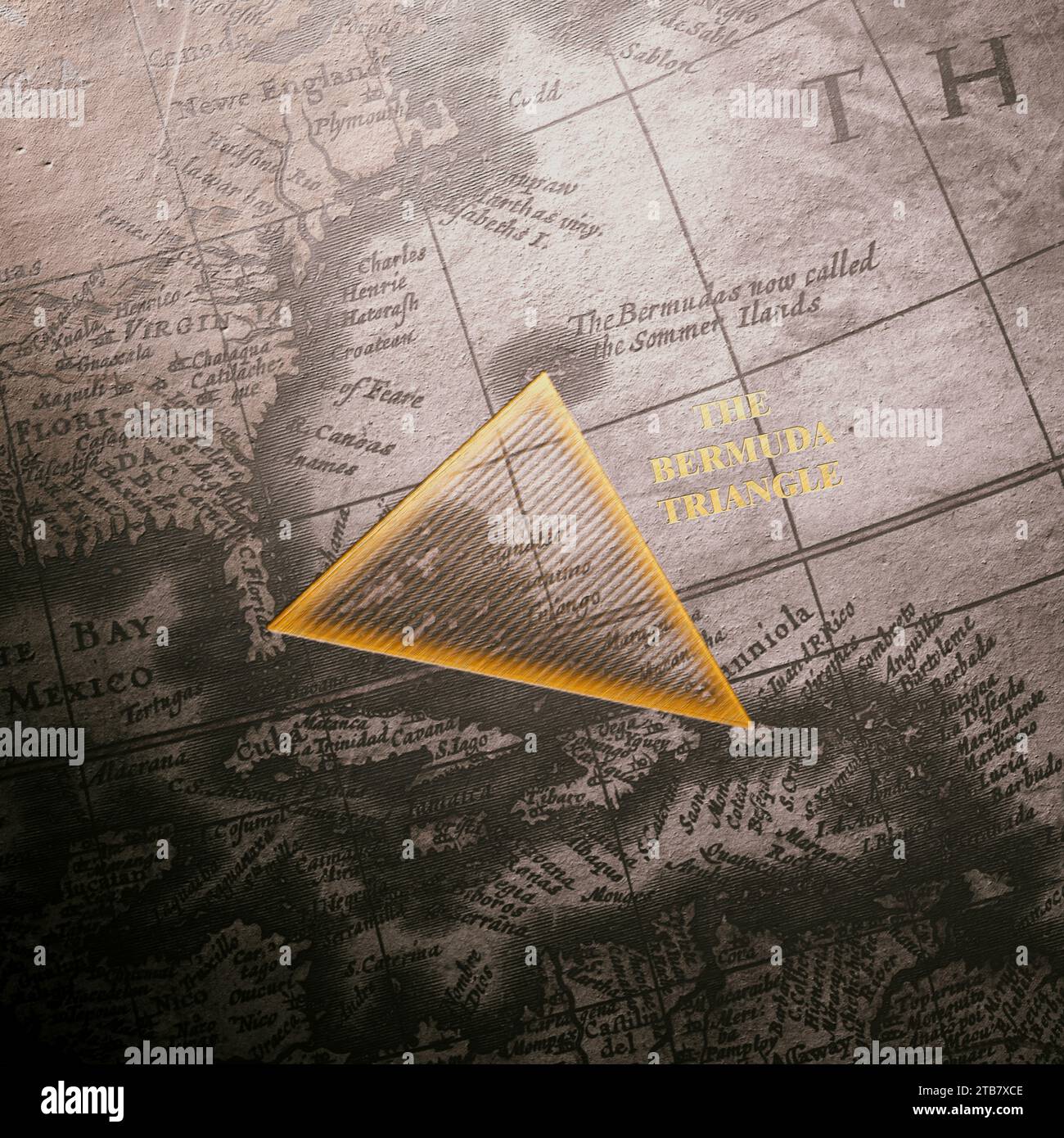 A meticulously detailed old map featuring the Atlantic Ocean prominently marks the mystifying Bermuda Triangle, stirring curiosity about its legendary Stock Photohttps://www.alamy.com/image-license-details/?v=1https://www.alamy.com/a-meticulously-detailed-old-map-featuring-the-atlantic-ocean-prominently-marks-the-mystifying-bermuda-triangle-stirring-curiosity-about-its-legendary-image574877758.html
RF2TB7XCE–A meticulously detailed old map featuring the Atlantic Ocean prominently marks the mystifying Bermuda Triangle, stirring curiosity about its legendary
![Sketches of Bermuda, or Somers' Islands. [With plates and a map.] Stock Photo Sketches of Bermuda, or Somers' Islands. [With plates and a map.] Stock Photo](https://c8.alamy.com/comp/J54762/sketches-of-bermuda-or-somers-islands-with-plates-and-a-map-J54762.jpg) Sketches of Bermuda, or Somers' Islands. [With plates and a map.] Stock Photohttps://www.alamy.com/image-license-details/?v=1https://www.alamy.com/stock-photo-sketches-of-bermuda-or-somers-islands-with-plates-and-a-map-140849690.html
Sketches of Bermuda, or Somers' Islands. [With plates and a map.] Stock Photohttps://www.alamy.com/image-license-details/?v=1https://www.alamy.com/stock-photo-sketches-of-bermuda-or-somers-islands-with-plates-and-a-map-140849690.htmlRMJ54762–Sketches of Bermuda, or Somers' Islands. [With plates and a map.]
 BERMUDA - CIRCA 1999: a stamp printed in Bermuda shows aerial photo and modern street map, mapmaking, circa 1999 Stock Photohttps://www.alamy.com/image-license-details/?v=1https://www.alamy.com/bermuda-circa-1999-a-stamp-printed-in-bermuda-shows-aerial-photo-and-modern-street-map-mapmaking-circa-1999-image450136376.html
RF2H49DF4–BERMUDA - CIRCA 1999: a stamp printed in Bermuda shows aerial photo and modern street map, mapmaking, circa 1999
 Bermuda on Wikidata map Stock Photohttps://www.alamy.com/image-license-details/?v=1https://www.alamy.com/stock-photo-bermuda-on-wikidata-map-170068468.html
RMKTK81T–Bermuda on Wikidata map
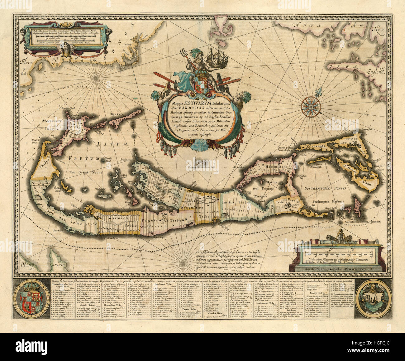 Map of Bermuda 1662 Stock Photohttps://www.alamy.com/image-license-details/?v=1https://www.alamy.com/stock-photo-map-of-bermuda-1662-130803076.html
RFHGPGJC–Map of Bermuda 1662
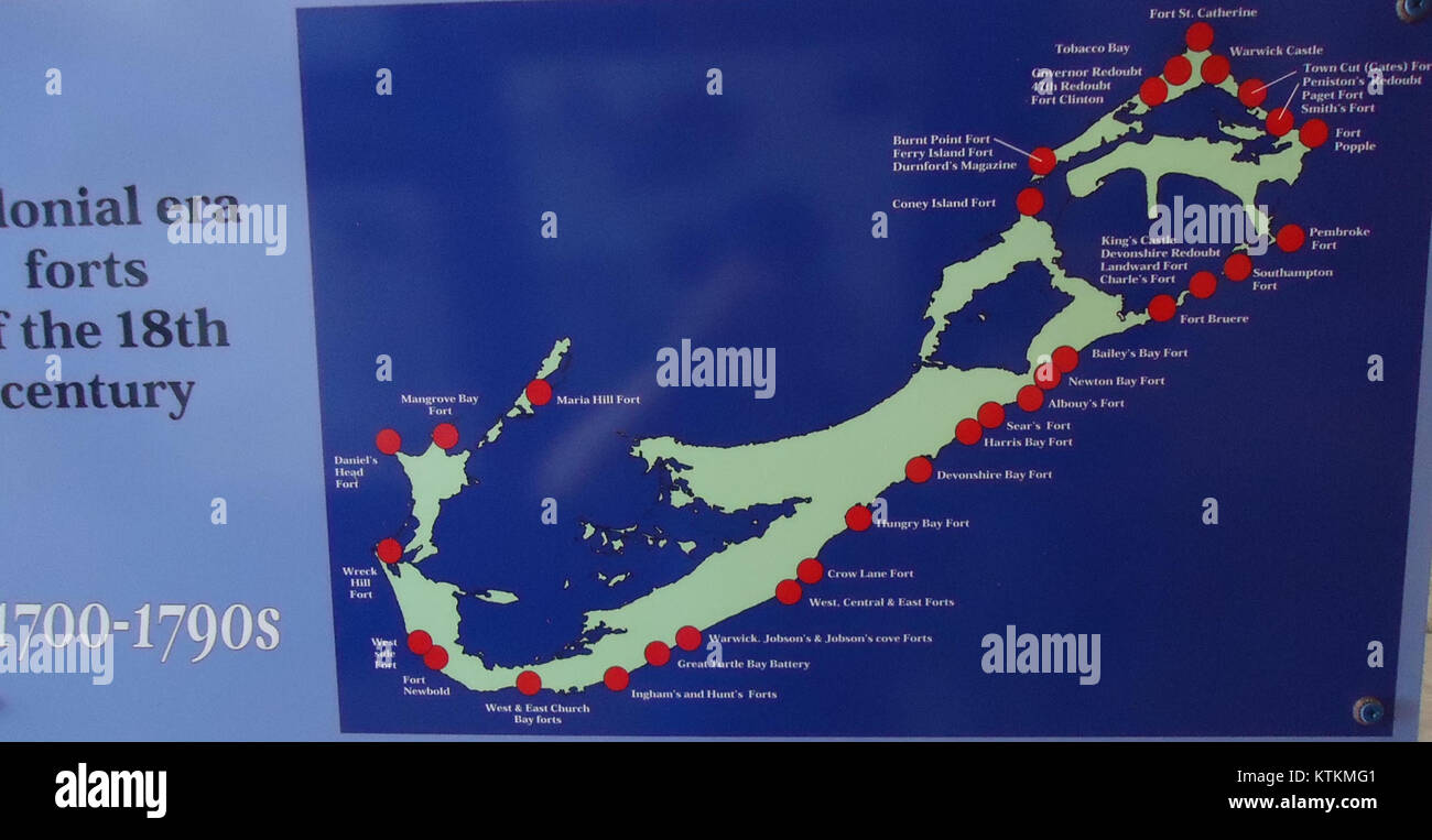 Bermuda (UK) Number 153 Map of fort locations in Bermuda Stock Photohttps://www.alamy.com/image-license-details/?v=1https://www.alamy.com/stock-photo-bermuda-uk-number-153-map-of-fort-locations-in-bermuda-170078273.html
RMKTKMG1–Bermuda (UK) Number 153 Map of fort locations in Bermuda
 BERMUDA - CIRCA 1986: a stamp printed in Bermuda shows Map of Atlantic Ocean and Two Stamps, 375th Anniversary of Bermuda Settlement, circa 1986 Stock Photohttps://www.alamy.com/image-license-details/?v=1https://www.alamy.com/bermuda-circa-1986-a-stamp-printed-in-bermuda-shows-map-of-atlantic-ocean-and-two-stamps-375th-anniversary-of-bermuda-settlement-circa-1986-image467301068.html
RF2J47B7T–BERMUDA - CIRCA 1986: a stamp printed in Bermuda shows Map of Atlantic Ocean and Two Stamps, 375th Anniversary of Bermuda Settlement, circa 1986
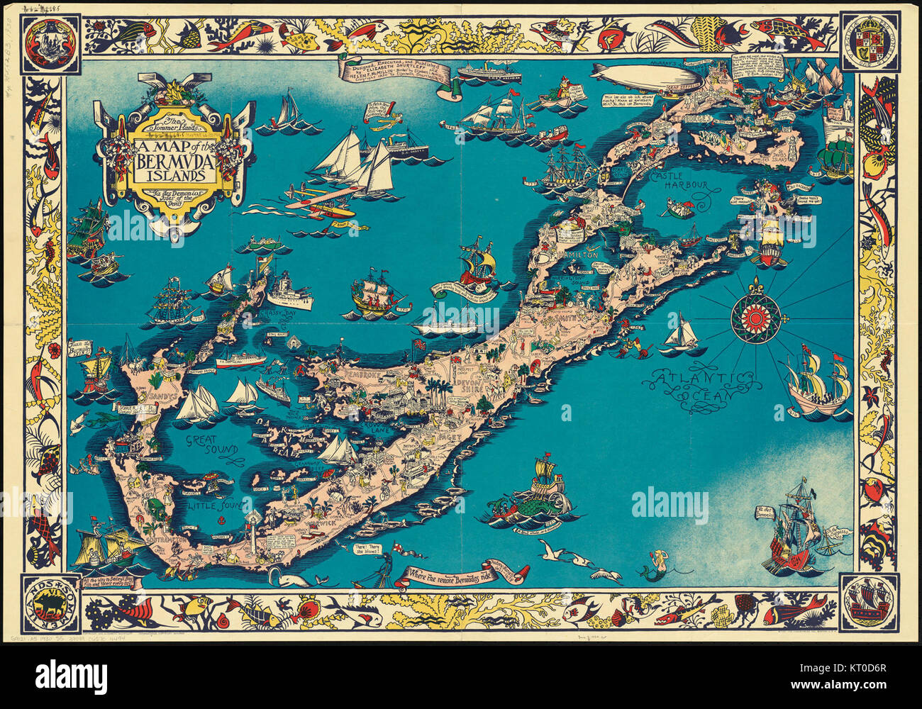 A map of the Bermuda Islands - ya des demonios, isles of the devils (20547080228) Stock Photohttps://www.alamy.com/image-license-details/?v=1https://www.alamy.com/stock-image-a-map-of-the-bermuda-islands-ya-des-demonios-isles-of-the-devils-20547080228-169655439.html
RMKT0D6R–A map of the Bermuda Islands - ya des demonios, isles of the devils (20547080228)
 A Bermuda flag on a brick wall background Stock Photohttps://www.alamy.com/image-license-details/?v=1https://www.alamy.com/a-bermuda-flag-on-a-brick-wall-background-image614760296.html
RF2XM4N0T–A Bermuda flag on a brick wall background
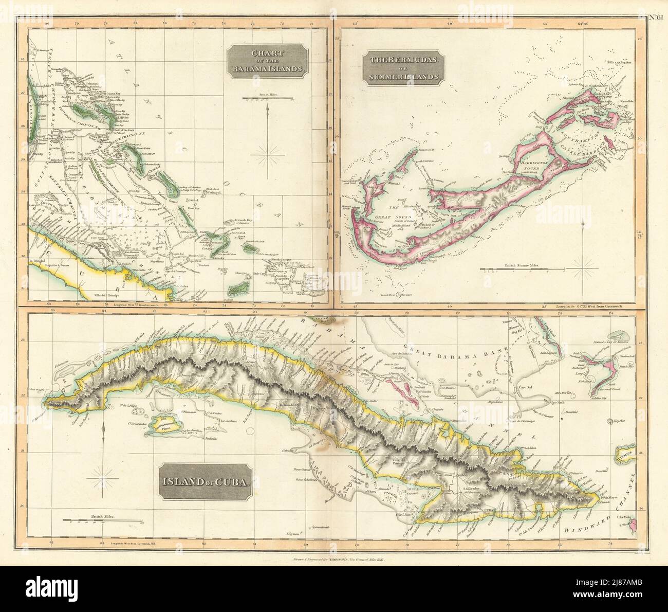 Cuba, the Bahamas & Bermuda 'or Summer Islands'. THOMSON 1817 old antique map Stock Photohttps://www.alamy.com/image-license-details/?v=1https://www.alamy.com/cuba-the-bahamas-bermuda-or-summer-islands-thomson-1817-old-antique-map-image469759259.html
RF2J87AMB–Cuba, the Bahamas & Bermuda 'or Summer Islands'. THOMSON 1817 old antique map
 Ilands of Bermuda Stock Photohttps://www.alamy.com/image-license-details/?v=1https://www.alamy.com/stock-photo-ilands-of-bermuda-74613951.html
RME9AXRY–Ilands of Bermuda
 ISLANDS. Malta Madeira Bermuda Reunion Hawaii Tahiti Mauritius. WELLER, 1862 map Stock Photohttps://www.alamy.com/image-license-details/?v=1https://www.alamy.com/stock-photo-islands-malta-madeira-bermuda-reunion-hawaii-tahiti-mauritius-weller-92839112.html
RFFB156G–ISLANDS. Malta Madeira Bermuda Reunion Hawaii Tahiti Mauritius. WELLER, 1862 map
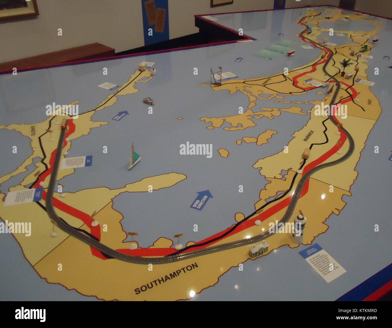 Bermuda (UK) image number 256 an interactive display map for young children to learn about Bermuda Stock Photohttps://www.alamy.com/image-license-details/?v=1https://www.alamy.com/stock-photo-bermuda-uk-image-number-256-an-interactive-display-map-for-young-children-170078481.html
RMKTKMRD–Bermuda (UK) image number 256 an interactive display map for young children to learn about Bermuda
 ATLANTIC ISLANDS: Bermuda Madeira Canaries.Tenerife view.TALLIS/RAPKIN, 1851 map Stock Photohttps://www.alamy.com/image-license-details/?v=1https://www.alamy.com/stock-photo-atlantic-islands-bermuda-madeira-canariestenerife-viewtallisrapkin-93001108.html
RFFB8FT4–ATLANTIC ISLANDS: Bermuda Madeira Canaries.Tenerife view.TALLIS/RAPKIN, 1851 map
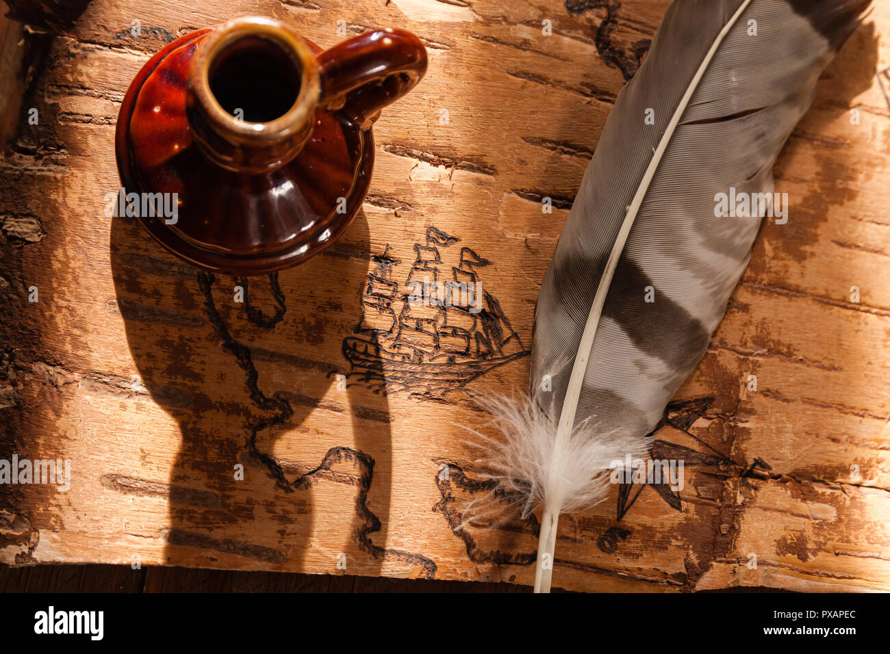 Sea map with illustrations of sailing vessels and compass rose on the order of antiquities on birchbark Stock Photohttps://www.alamy.com/image-license-details/?v=1https://www.alamy.com/sea-map-with-illustrations-of-sailing-vessels-and-compass-rose-on-the-order-of-antiquities-on-birchbark-image222742644.html
RFPXAPEC–Sea map with illustrations of sailing vessels and compass rose on the order of antiquities on birchbark
 'Dominia Anglorum..' Antigua St Kitts Bermuda Barbados Jamaica. HOMANN c1740 map Stock Photohttps://www.alamy.com/image-license-details/?v=1https://www.alamy.com/stock-photo-dominia-anglorum-antigua-st-kitts-bermuda-barbados-jamaica-homann-92806930.html
RFFAYM56–'Dominia Anglorum..' Antigua St Kitts Bermuda Barbados Jamaica. HOMANN c1740 map
 Map of Mexico, Central America, and the West Indies; Map of the Island of Cuba (inset); Map of the Island of Jamaica (inset); Map of the Bermuda Islands (inset); Map of the Panama Railroad (NYPL b13663520 1510823) Stock Photohttps://www.alamy.com/image-license-details/?v=1https://www.alamy.com/stock-image-map-of-mexico-central-america-and-the-west-indies-map-of-the-island-163299463.html
RMKDJX3K–Map of Mexico, Central America, and the West Indies; Map of the Island of Cuba (inset); Map of the Island of Jamaica (inset); Map of the Bermuda Islands (inset); Map of the Panama Railroad (NYPL b13663520 1510823)
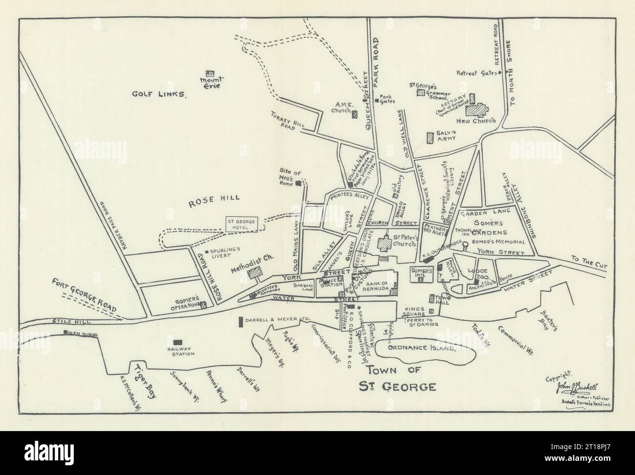 St. George, Bermuda town / city plan by John Bushell 1938 old vintage map Stock Photohttps://www.alamy.com/image-license-details/?v=1https://www.alamy.com/st-george-bermuda-town-city-plan-by-john-bushell-1938-old-vintage-map-image568750175.html
RF2T18PJ7–St. George, Bermuda town / city plan by John Bushell 1938 old vintage map
 Town of Bermuda Run, Davie County, US, United States, North Carolina, N 36 0' 5'', S 80 25' 44'', map, Cartascapes Map published in 2024. Explore Cartascapes, a map revealing Earth's diverse landscapes, cultures, and ecosystems. Journey through time and space, discovering the interconnectedness of our planet's past, present, and future. Stock Photohttps://www.alamy.com/image-license-details/?v=1https://www.alamy.com/town-of-bermuda-run-davie-county-us-united-states-north-carolina-n-36-0-5-s-80-25-44-map-cartascapes-map-published-in-2024-explore-cartascapes-a-map-revealing-earths-diverse-landscapes-cultures-and-ecosystems-journey-through-time-and-space-discovering-the-interconnectedness-of-our-planets-past-present-and-future-image633793339.html
RM2YR3NTB–Town of Bermuda Run, Davie County, US, United States, North Carolina, N 36 0' 5'', S 80 25' 44'', map, Cartascapes Map published in 2024. Explore Cartascapes, a map revealing Earth's diverse landscapes, cultures, and ecosystems. Journey through time and space, discovering the interconnectedness of our planet's past, present, and future.
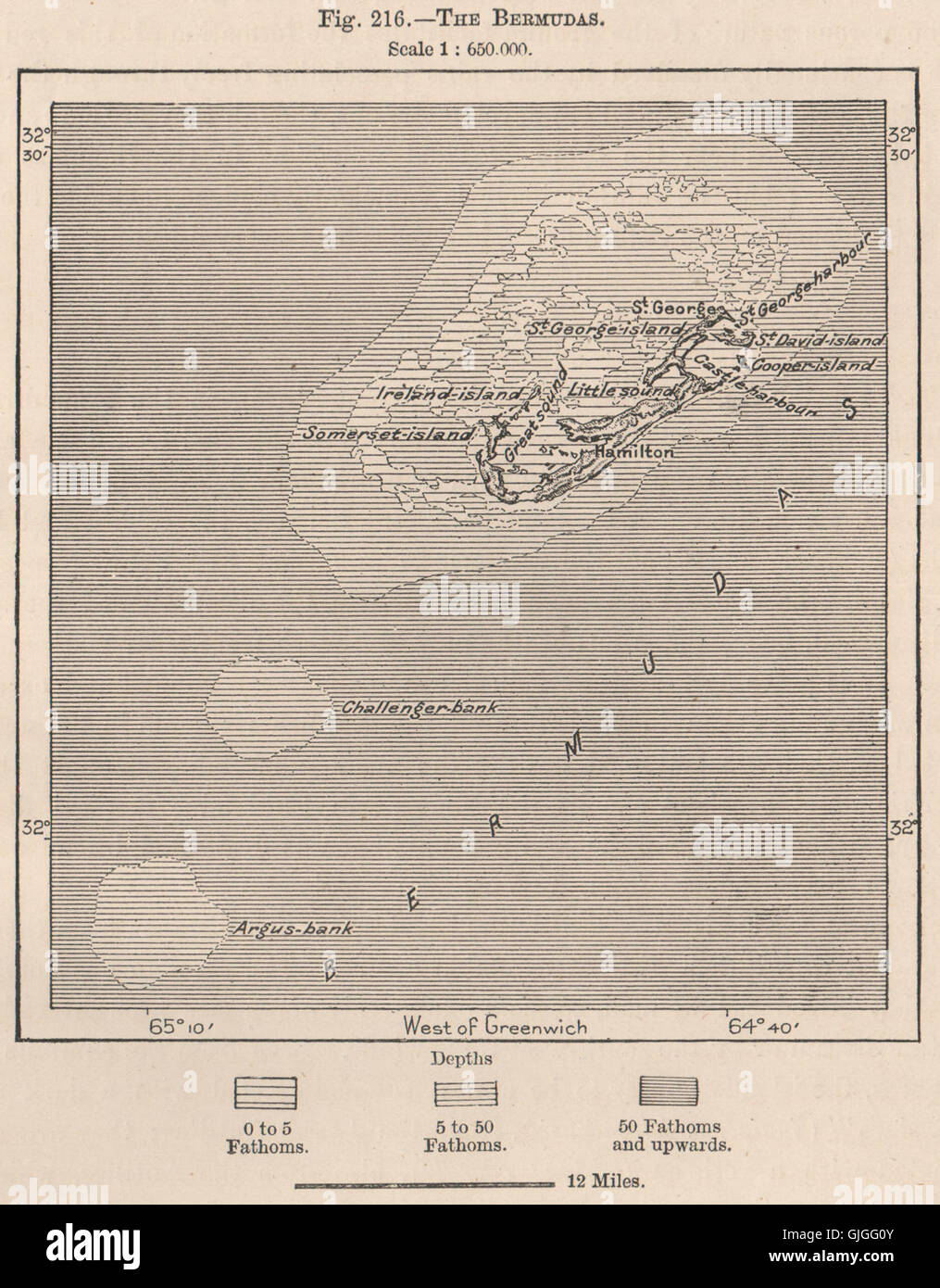 The Bermudas, 1885 antique map Stock Photohttps://www.alamy.com/image-license-details/?v=1https://www.alamy.com/stock-photo-the-bermudas-1885-antique-map-114689819.html
RFGJGG0Y–The Bermudas, 1885 antique map
 1815 Thomson Map of Cuba. Bermuda ^ the Bahamas - Geographicus - Cuba-t-1816. Stock Photohttps://www.alamy.com/image-license-details/?v=1https://www.alamy.com/1815-thomson-map-of-cuba-bermuda-the-bahamas-geographicus-cuba-t-1816-image209812652.html
RMP59P50–1815 Thomson Map of Cuba. Bermuda ^ the Bahamas - Geographicus - Cuba-t-1816.
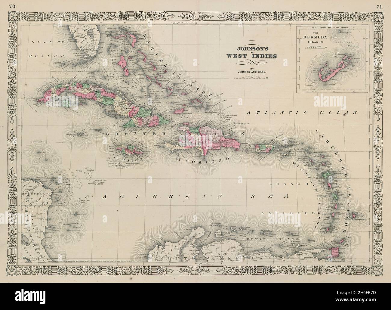 Johnson's West Indies. Bermuda Islands. Caribbean Bahamas 1865 old antique map Stock Photohttps://www.alamy.com/image-license-details/?v=1https://www.alamy.com/johnsons-west-indies-bermuda-islands-caribbean-bahamas-1865-old-antique-map-image451495617.html
RF2H6FB7D–Johnson's West Indies. Bermuda Islands. Caribbean Bahamas 1865 old antique map
 Bermuda stamp. Travel red rubber stamp with the map of island, vector illustration. Can be used as insignia, logotype, label, sticker or badge of the Stock Vectorhttps://www.alamy.com/image-license-details/?v=1https://www.alamy.com/bermuda-stamp-travel-red-rubber-stamp-with-the-map-of-island-vector-illustration-can-be-used-as-insignia-logotype-label-sticker-or-badge-of-the-image553787507.html
RF2R4Y5H7–Bermuda stamp. Travel red rubber stamp with the map of island, vector illustration. Can be used as insignia, logotype, label, sticker or badge of the
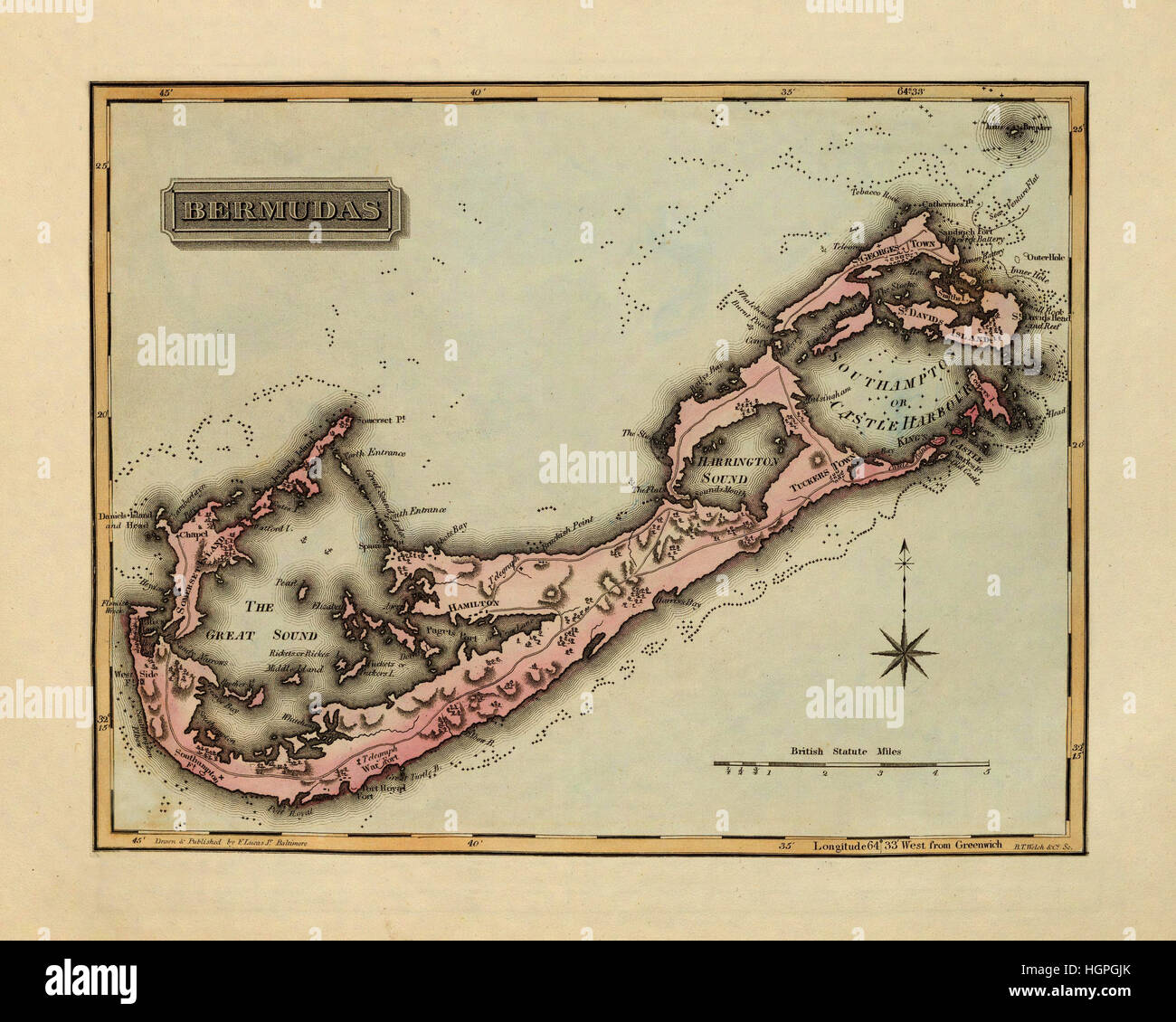 Map of Bermuda 1823 Stock Photohttps://www.alamy.com/image-license-details/?v=1https://www.alamy.com/stock-photo-map-of-bermuda-1823-130803083.html
RFHGPGJK–Map of Bermuda 1823
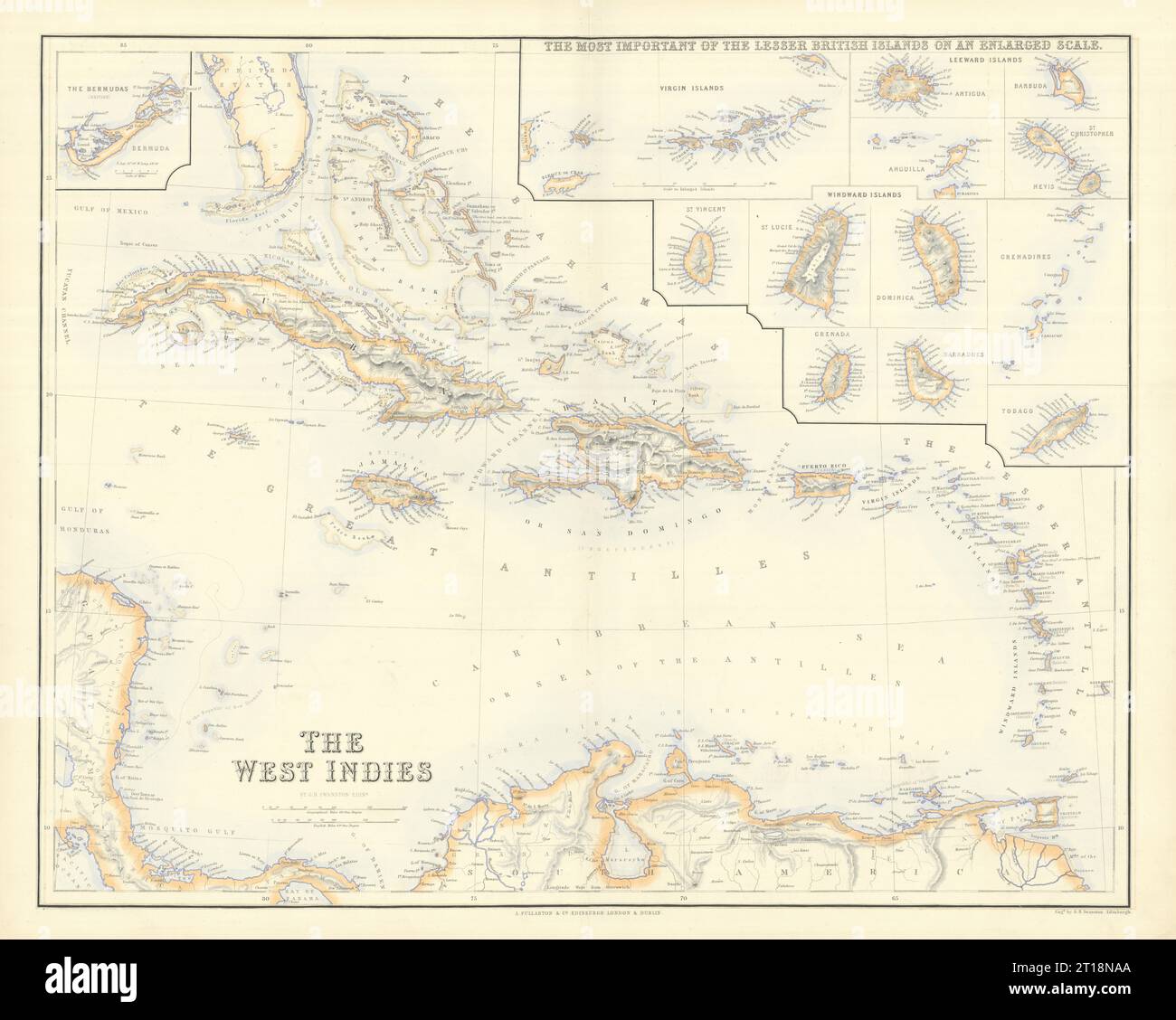 British West Indies. Virgin Leeward Windward Islands. Bermuda. SWANSTON 1860 map Stock Photohttps://www.alamy.com/image-license-details/?v=1https://www.alamy.com/british-west-indies-virgin-leeward-windward-islands-bermuda-swanston-1860-map-image568749170.html
RF2T18NAA–British West Indies. Virgin Leeward Windward Islands. Bermuda. SWANSTON 1860 map
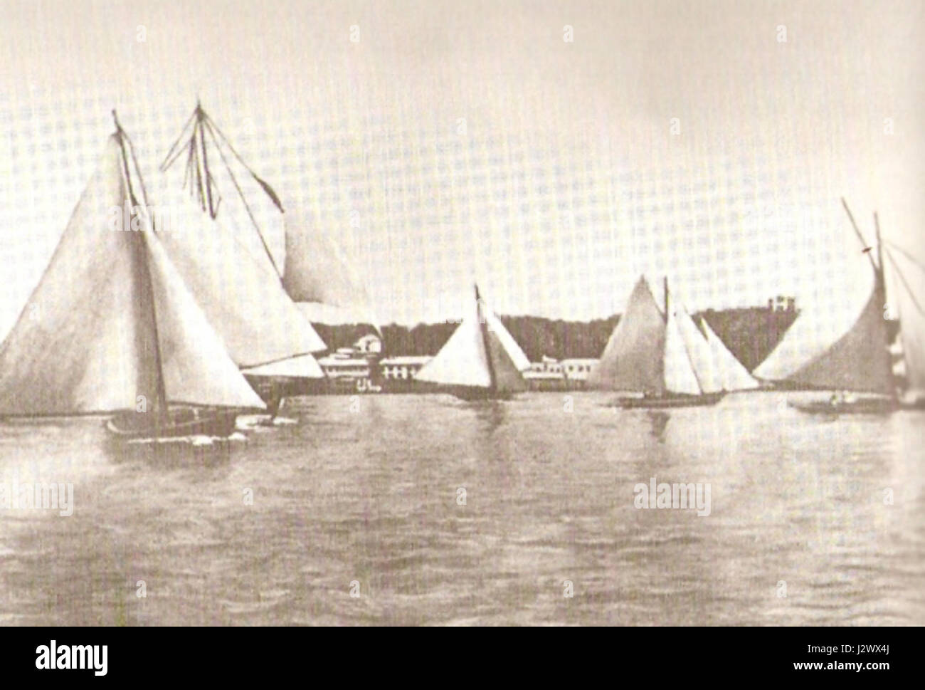 Bermuda sloop race Stock Photohttps://www.alamy.com/image-license-details/?v=1https://www.alamy.com/stock-photo-bermuda-sloop-race-139481570.html
RMJ2WX4J–Bermuda sloop race
 Map of Bermuda, Postal Passport Stamp, Travel Stamp, Clipping path Stock Photohttps://www.alamy.com/image-license-details/?v=1https://www.alamy.com/map-of-bermuda-postal-passport-stamp-travel-stamp-clipping-path-image485213250.html
RF2K5BACJ–Map of Bermuda, Postal Passport Stamp, Travel Stamp, Clipping path
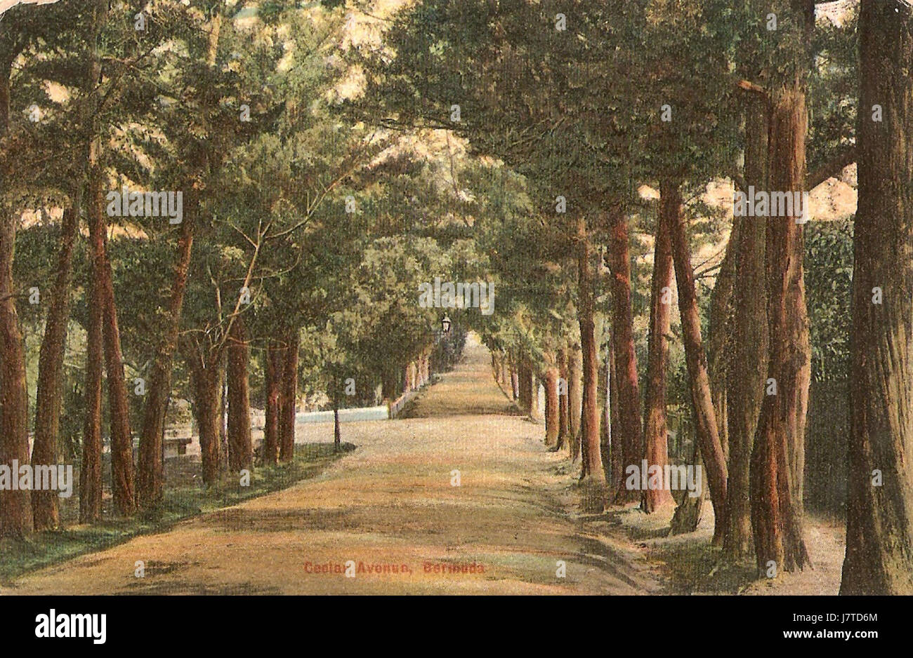 Cedar Avenue Hamilton Bermuda Stock Photohttps://www.alamy.com/image-license-details/?v=1https://www.alamy.com/stock-photo-cedar-avenue-hamilton-bermuda-142522764.html
RMJ7TD6M–Cedar Avenue Hamilton Bermuda
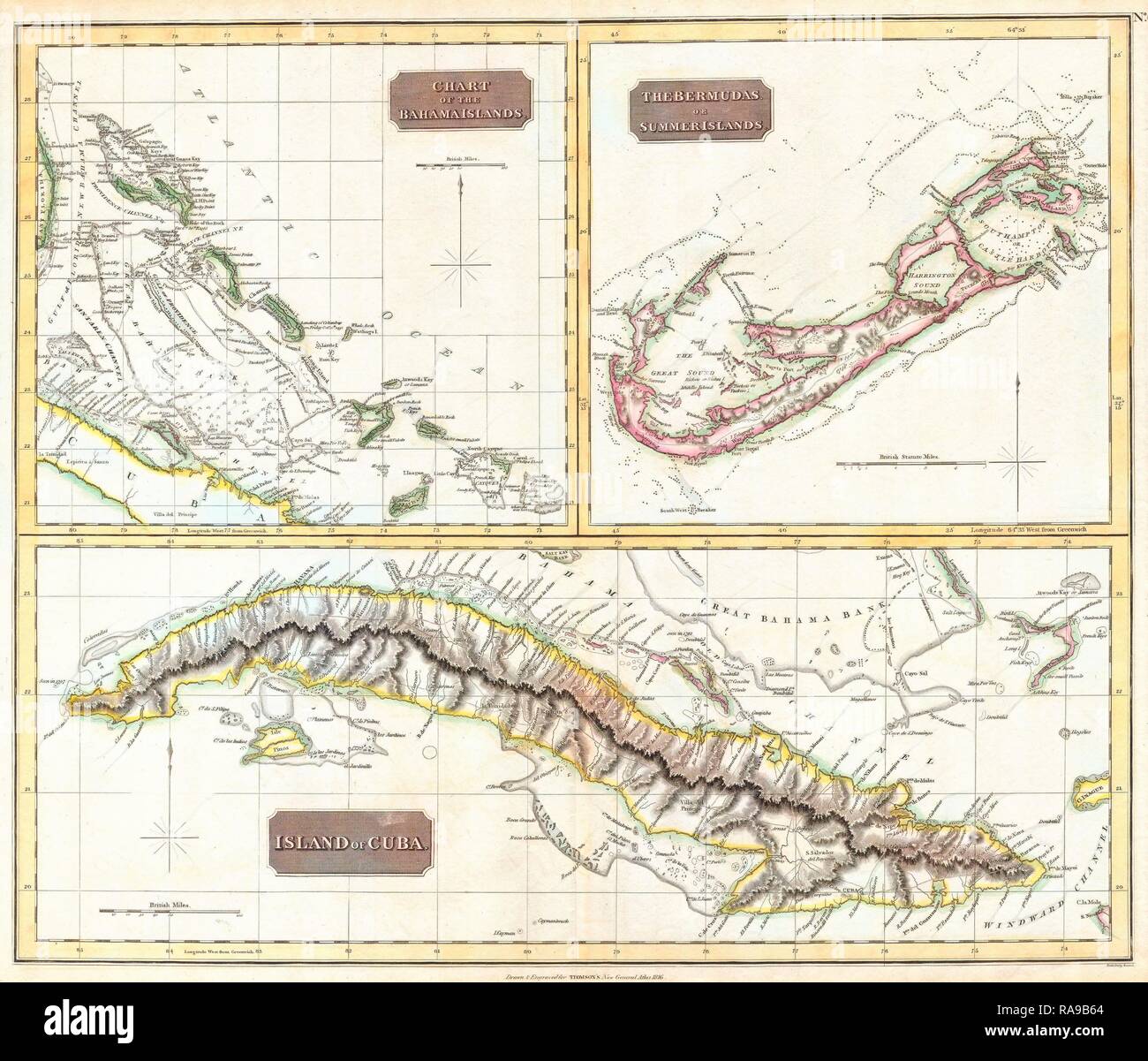 1815, Thomson Map of Cuba. Bermuda and the Bahamas, John Thomson, 1777 - 1840, was a Scottish cartographer from reimagined Stock Photohttps://www.alamy.com/image-license-details/?v=1https://www.alamy.com/1815-thomson-map-of-cuba-bermuda-and-the-bahamas-john-thomson-1777-1840-was-a-scottish-cartographer-from-reimagined-image230087708.html
RFRA9B64–1815, Thomson Map of Cuba. Bermuda and the Bahamas, John Thomson, 1777 - 1840, was a Scottish cartographer from reimagined
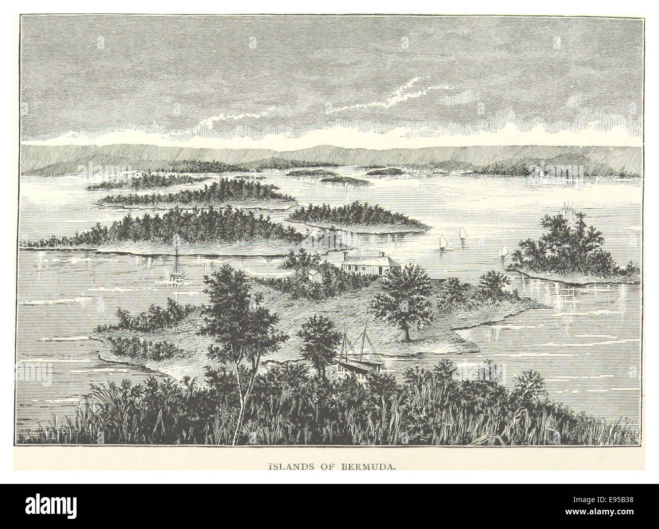 Ilands of Bermuda Stock Photohttps://www.alamy.com/image-license-details/?v=1https://www.alamy.com/stock-photo-ilands-of-bermuda-74491852.html
RME95B38–Ilands of Bermuda
 Bermuda british regions plate, vector tin sign. UK province or Britain land welcome metal plate with landmark, region map and coastline with sandy bea Stock Vectorhttps://www.alamy.com/image-license-details/?v=1https://www.alamy.com/bermuda-british-regions-plate-vector-tin-sign-uk-province-or-britain-land-welcome-metal-plate-with-landmark-region-map-and-coastline-with-sandy-bea-image615103703.html
RF2XMMB1B–Bermuda british regions plate, vector tin sign. UK province or Britain land welcome metal plate with landmark, region map and coastline with sandy bea
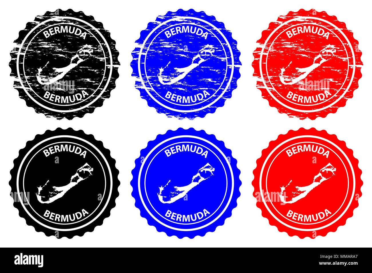 Bermuda - rubber stamp - vector, Bermuda map pattern - sticker - black, blue and red Stock Vectorhttps://www.alamy.com/image-license-details/?v=1https://www.alamy.com/bermuda-rubber-stamp-vector-bermuda-map-pattern-sticker-black-blue-and-red-image184634639.html
RFMMARA7–Bermuda - rubber stamp - vector, Bermuda map pattern - sticker - black, blue and red
 MOSCOW, RUSSIA - MARCH 25, 2023: Postage stamp printed in Bermuda shows Map of Bermuda, Country Motifs serie, circa 1953 Stock Photohttps://www.alamy.com/image-license-details/?v=1https://www.alamy.com/moscow-russia-march-25-2023-postage-stamp-printed-in-bermuda-shows-map-of-bermuda-country-motifs-serie-circa-1953-image544472328.html
RF2PHPT08–MOSCOW, RUSSIA - MARCH 25, 2023: Postage stamp printed in Bermuda shows Map of Bermuda, Country Motifs serie, circa 1953
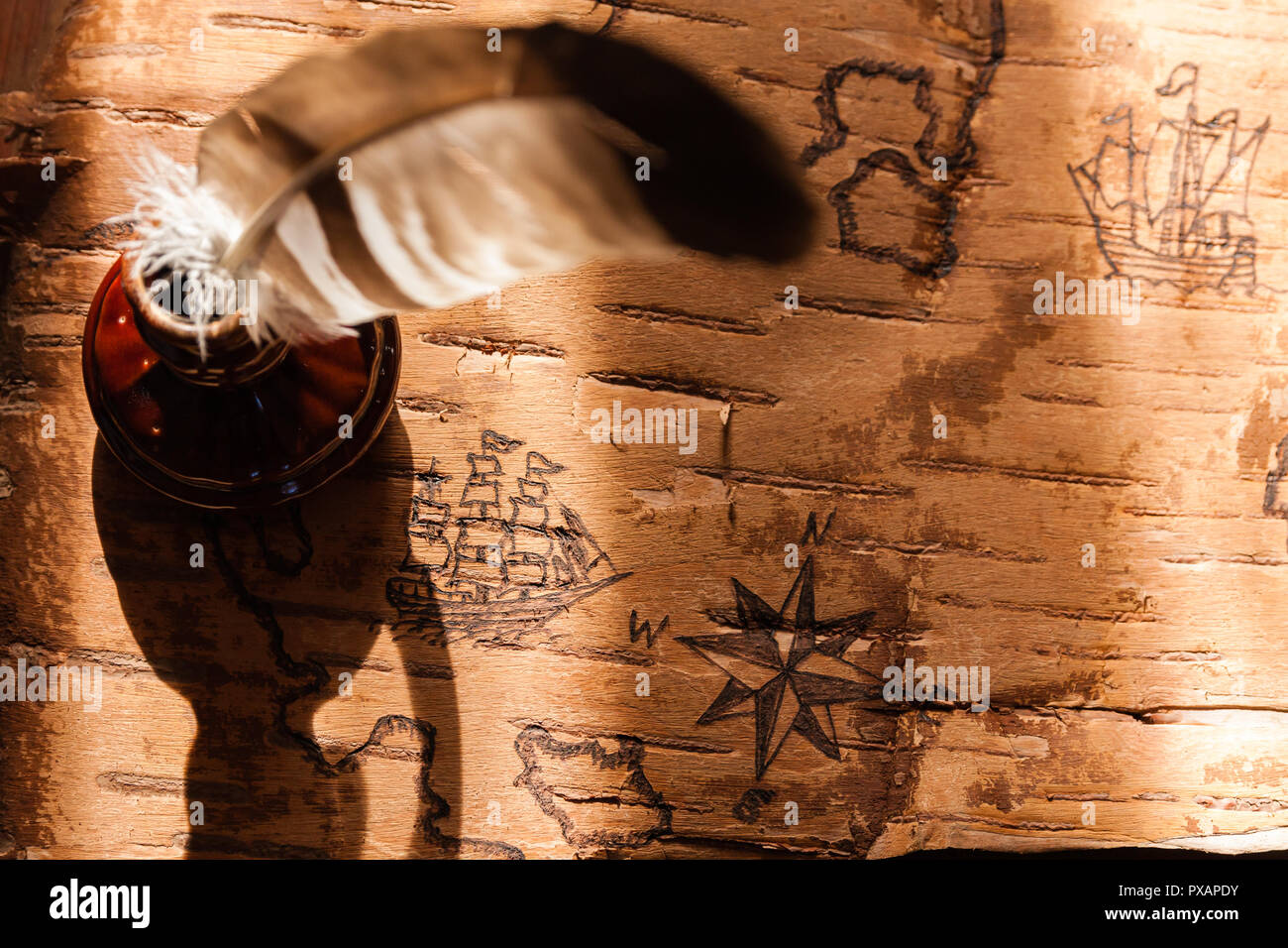 Sea map with illustrations of sailing vessels and compass rose on the order of antiquities on birchbark Stock Photohttps://www.alamy.com/image-license-details/?v=1https://www.alamy.com/sea-map-with-illustrations-of-sailing-vessels-and-compass-rose-on-the-order-of-antiquities-on-birchbark-image222742631.html
RFPXAPDY–Sea map with illustrations of sailing vessels and compass rose on the order of antiquities on birchbark
 Made in Bermuda - rubber stamp - vector, Bermuda map pattern - black, blue and red Stock Vectorhttps://www.alamy.com/image-license-details/?v=1https://www.alamy.com/made-in-bermuda-rubber-stamp-vector-bermuda-map-pattern-black-blue-and-red-image180639723.html
RFMDTRPK–Made in Bermuda - rubber stamp - vector, Bermuda map pattern - black, blue and red
 Bermuda flag design set vector Stock Vectorhttps://www.alamy.com/image-license-details/?v=1https://www.alamy.com/bermuda-flag-design-set-vector-image222871481.html
RFPXGJRN–Bermuda flag design set vector
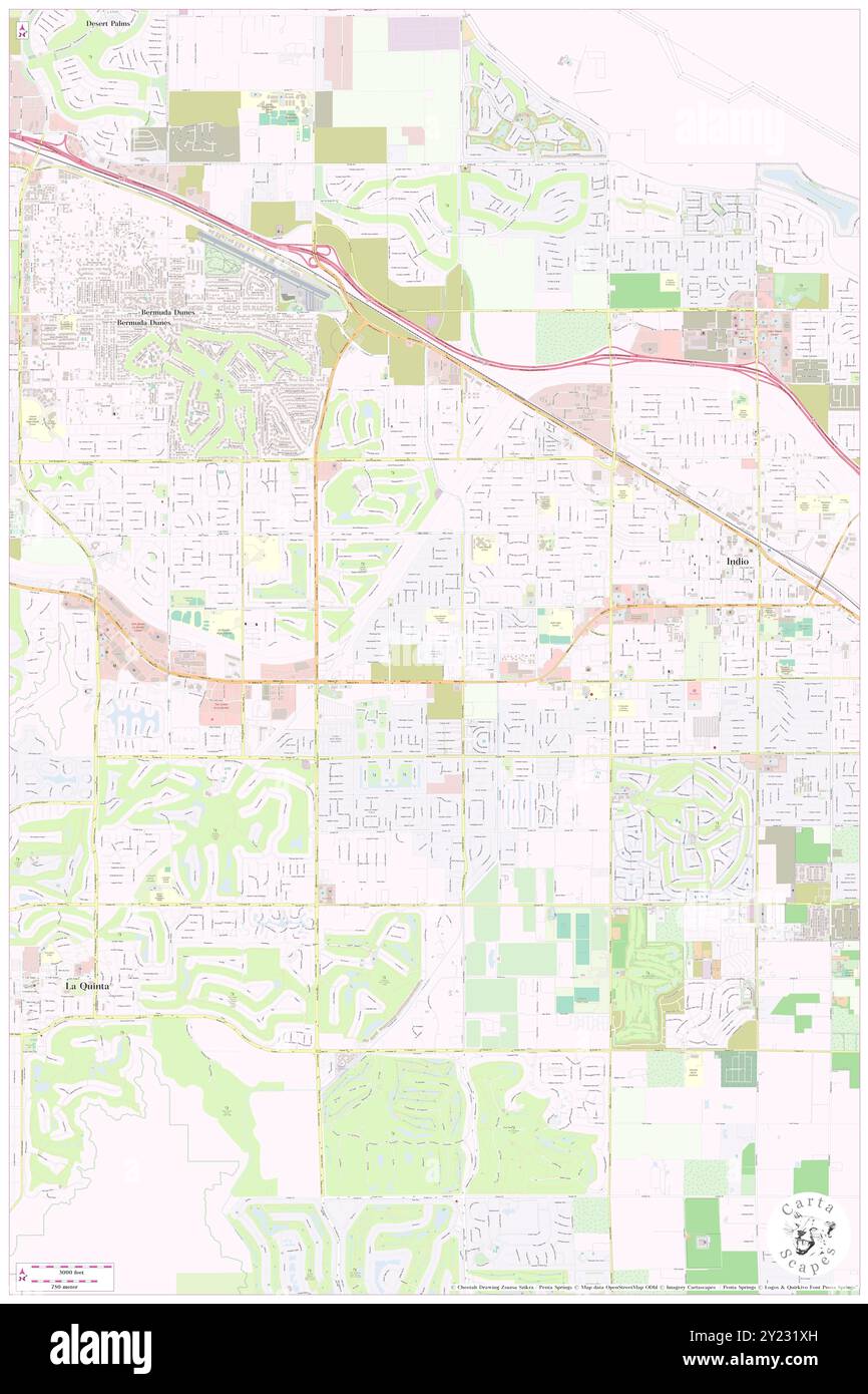 Bermuda Palms Mobile Park, Riverside County, US, United States, California, N 33 42' 37'', S 116 15' 17'', map, Cartascapes Map published in 2024. Explore Cartascapes, a map revealing Earth's diverse landscapes, cultures, and ecosystems. Journey through time and space, discovering the interconnectedness of our planet's past, present, and future. Stock Photohttps://www.alamy.com/image-license-details/?v=1https://www.alamy.com/bermuda-palms-mobile-park-riverside-county-us-united-states-california-n-33-42-37-s-116-15-17-map-cartascapes-map-published-in-2024-explore-cartascapes-a-map-revealing-earths-diverse-landscapes-cultures-and-ecosystems-journey-through-time-and-space-discovering-the-interconnectedness-of-our-planets-past-present-and-future-image620869945.html
RM2Y231XH–Bermuda Palms Mobile Park, Riverside County, US, United States, California, N 33 42' 37'', S 116 15' 17'', map, Cartascapes Map published in 2024. Explore Cartascapes, a map revealing Earth's diverse landscapes, cultures, and ecosystems. Journey through time and space, discovering the interconnectedness of our planet's past, present, and future.
![Image from page 212 of 'Bermuda, a colony, a fortress, and a prison; or, Eighteen months in the Somers' Islands. With map and illustrations. By a Field Officer [i.e. Ferdinand Whittingham]' . Stock Photo Image from page 212 of 'Bermuda, a colony, a fortress, and a prison; or, Eighteen months in the Somers' Islands. With map and illustrations. By a Field Officer [i.e. Ferdinand Whittingham]' . Stock Photo](https://c8.alamy.com/comp/PGWPTE/image-from-page-212-of-bermuda-a-colony-a-fortress-and-a-prison-or-eighteen-months-in-the-somers-islands-with-map-and-illustrations-by-a-field-officer-ie-ferdinand-whittingham-PGWPTE.jpg) Image from page 212 of 'Bermuda, a colony, a fortress, and a prison; or, Eighteen months in the Somers' Islands. With map and illustrations. By a Field Officer [i.e. Ferdinand Whittingham]' . Stock Photohttps://www.alamy.com/image-license-details/?v=1https://www.alamy.com/image-from-page-212-of-bermuda-a-colony-a-fortress-and-a-prison-or-eighteen-months-in-the-somers-islands-with-map-and-illustrations-by-a-field-officer-ie-ferdinand-whittingham-image216925646.html
Image from page 212 of 'Bermuda, a colony, a fortress, and a prison; or, Eighteen months in the Somers' Islands. With map and illustrations. By a Field Officer [i.e. Ferdinand Whittingham]' . Stock Photohttps://www.alamy.com/image-license-details/?v=1https://www.alamy.com/image-from-page-212-of-bermuda-a-colony-a-fortress-and-a-prison-or-eighteen-months-in-the-somers-islands-with-map-and-illustrations-by-a-field-officer-ie-ferdinand-whittingham-image216925646.htmlRMPGWPTE–Image from page 212 of 'Bermuda, a colony, a fortress, and a prison; or, Eighteen months in the Somers' Islands. With map and illustrations. By a Field Officer [i.e. Ferdinand Whittingham]' .
 Bermuda striped retro travel sticker. Badge with map of island, vector illustration. Can be used as insignia, logotype, label, sticker or badge of the Stock Vectorhttps://www.alamy.com/image-license-details/?v=1https://www.alamy.com/bermuda-striped-retro-travel-sticker-badge-with-map-of-island-vector-illustration-can-be-used-as-insignia-logotype-label-sticker-or-badge-of-the-image559134532.html
RF2RDJNPC–Bermuda striped retro travel sticker. Badge with map of island, vector illustration. Can be used as insignia, logotype, label, sticker or badge of the
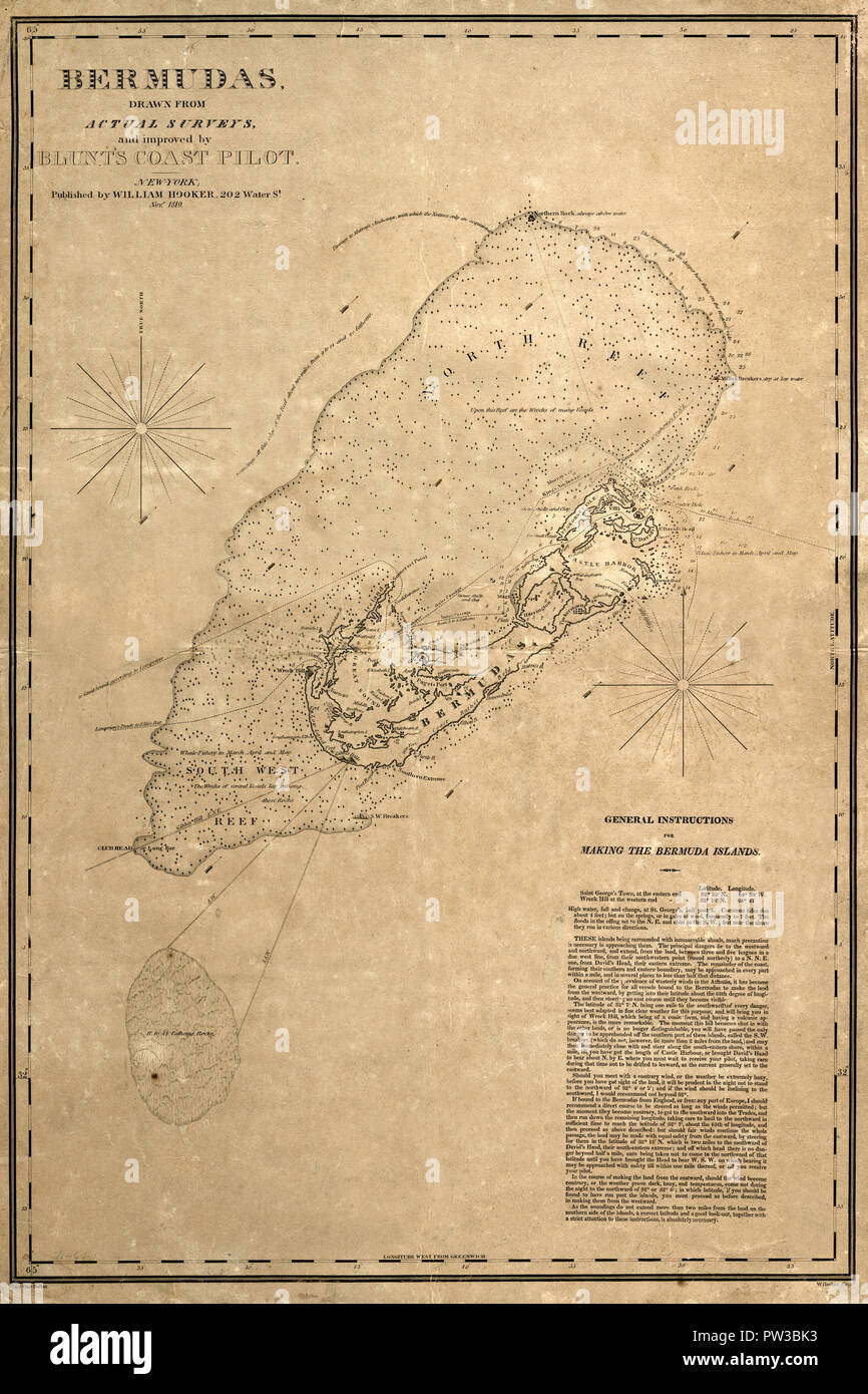 Map Of Bermuda 1819 Stock Photohttps://www.alamy.com/image-license-details/?v=1https://www.alamy.com/map-of-bermuda-1819-image221965831.html
RFPW3BK3–Map Of Bermuda 1819
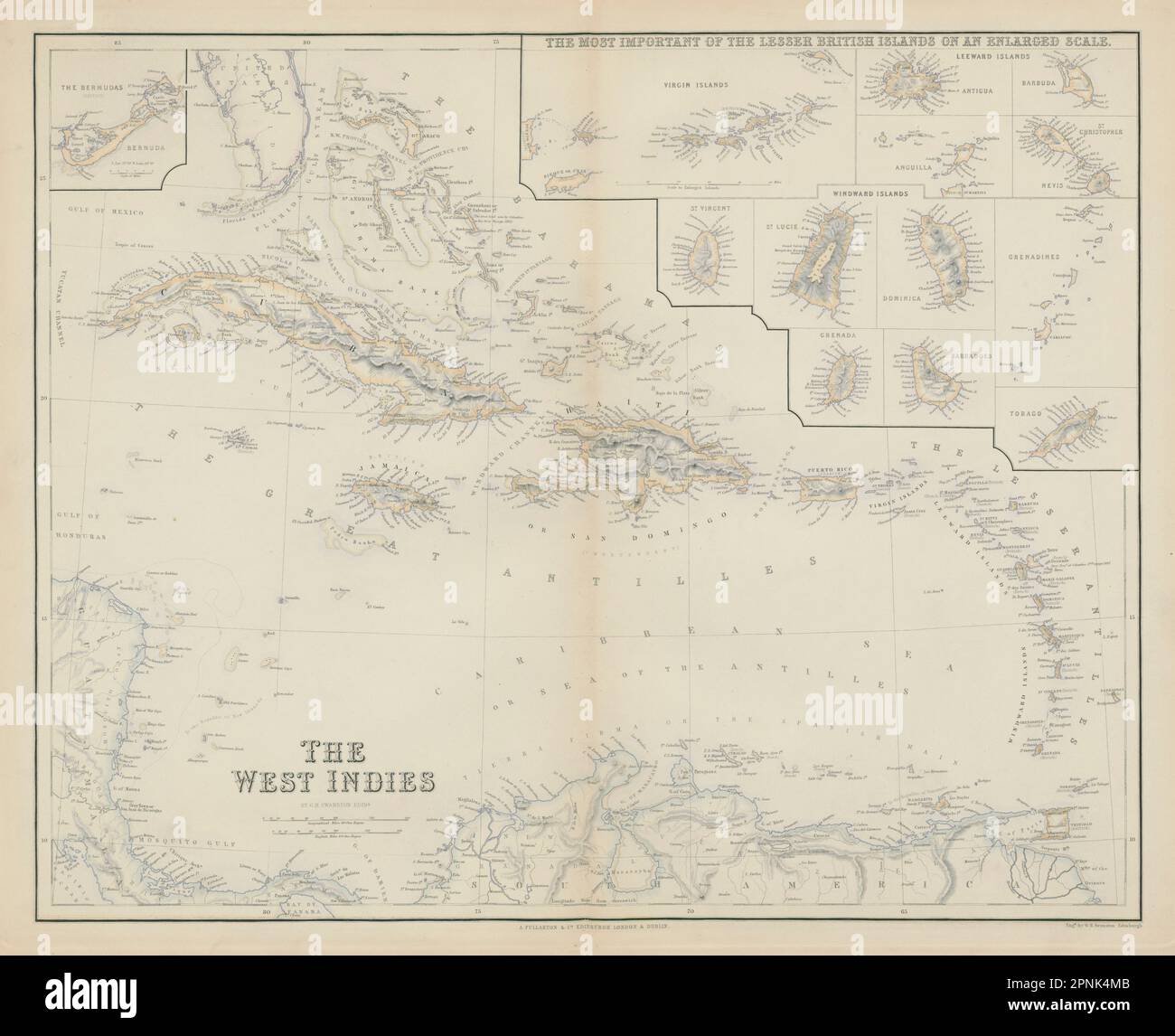 British West Indies. Virgin Leeward Windward Islands. Bermuda. SWANSTON 1860 map Stock Photohttps://www.alamy.com/image-license-details/?v=1https://www.alamy.com/british-west-indies-virgin-leeward-windward-islands-bermuda-swanston-1860-map-image546849979.html
RF2PNK4MB–British West Indies. Virgin Leeward Windward Islands. Bermuda. SWANSTON 1860 map
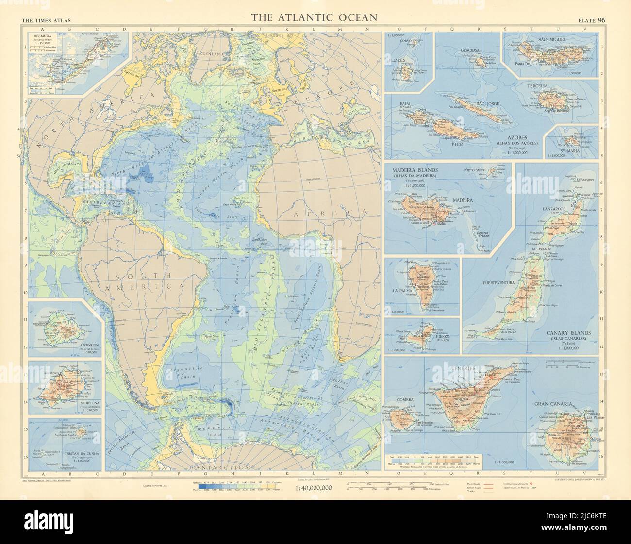 Atlantic Ocean islands. Canary Azores Madeira Bermuda Ascension. TIMES 1956 map Stock Photohttps://www.alamy.com/image-license-details/?v=1https://www.alamy.com/atlantic-ocean-islands-canary-azores-madeira-bermuda-ascension-times-1956-map-image472203102.html
RF2JC6KTE–Atlantic Ocean islands. Canary Azores Madeira Bermuda Ascension. TIMES 1956 map
 Bermuda 1658 21487 01 Stock Photohttps://www.alamy.com/image-license-details/?v=1https://www.alamy.com/stock-photo-bermuda-1658-21487-01-142516769.html
RMJ7T5GH–Bermuda 1658 21487 01
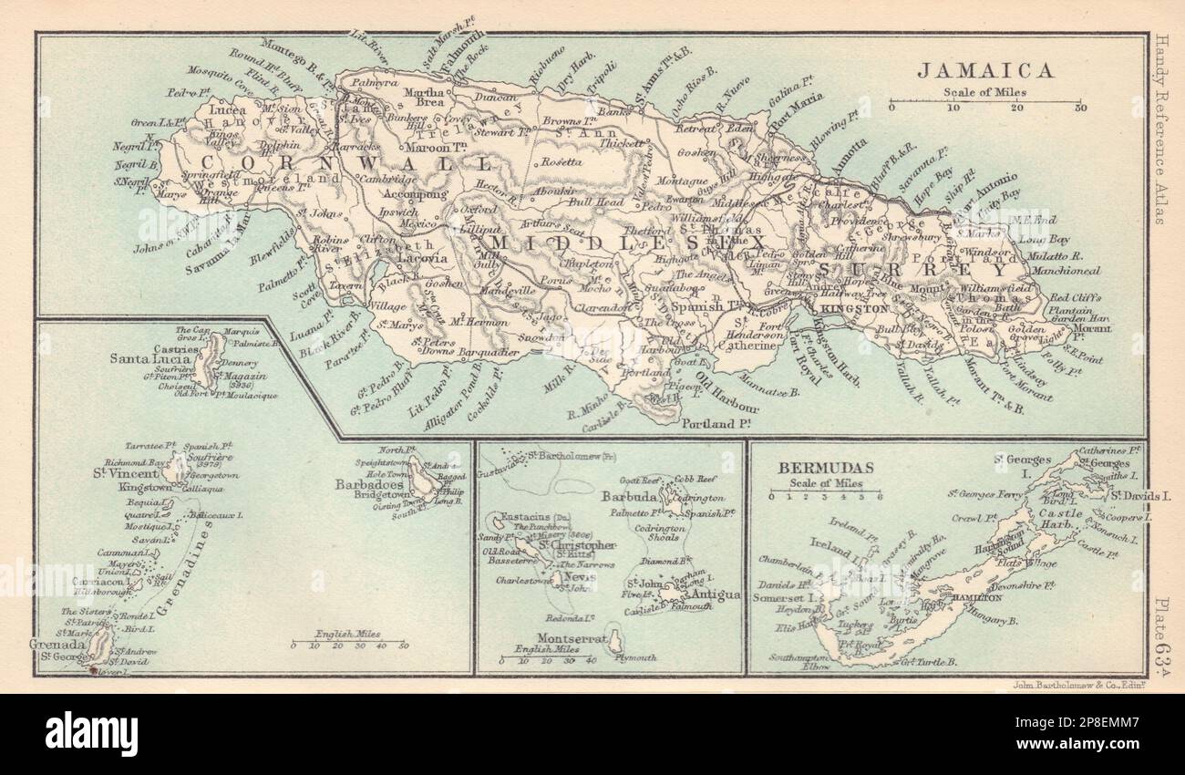 British West Indies. Jamaica Bermuda. St Vincent Barbados St Lucia 1898 map Stock Photohttps://www.alamy.com/image-license-details/?v=1https://www.alamy.com/british-west-indies-jamaica-bermuda-st-vincent-barbados-st-lucia-1898-map-image538762231.html
RF2P8EMM7–British West Indies. Jamaica Bermuda. St Vincent Barbados St Lucia 1898 map
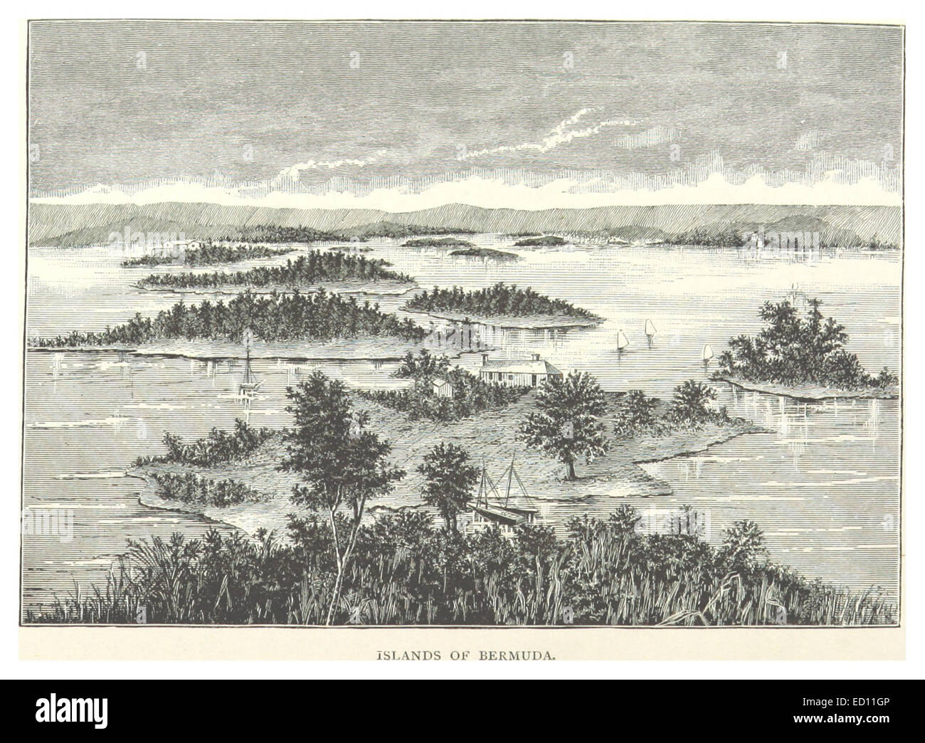 Ilands of Bermuda Stock Photohttps://www.alamy.com/image-license-details/?v=1https://www.alamy.com/stock-photo-ilands-of-bermuda-76855206.html
RMED11GP–Ilands of Bermuda
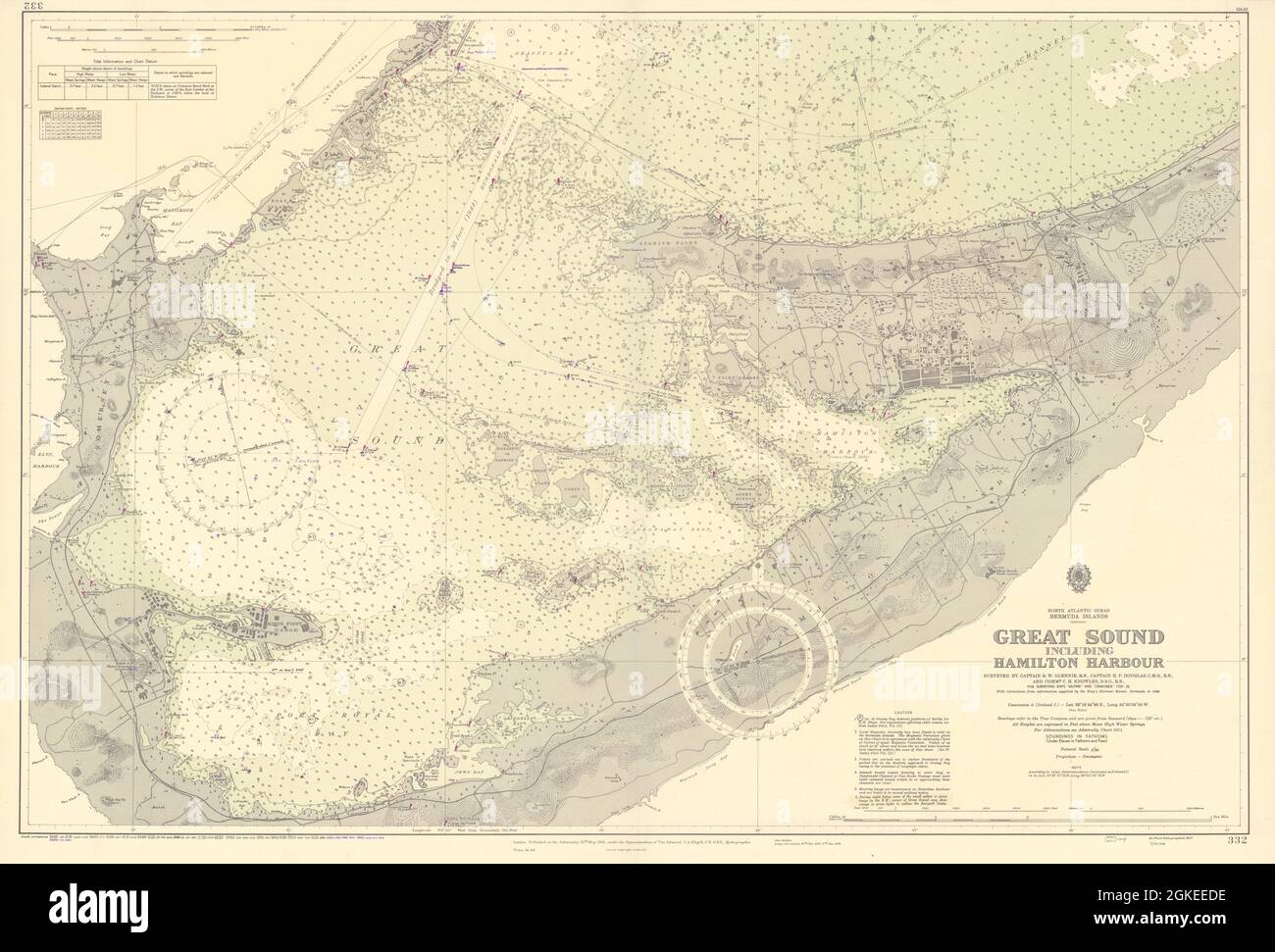 Bermuda Great Sound. Hamilton Harbour ADMIRALTY sea chart 1941 (1956) old map Stock Photohttps://www.alamy.com/image-license-details/?v=1https://www.alamy.com/bermuda-great-sound-hamilton-harbour-admiralty-sea-chart-1941-1956-old-map-image442256346.html
RF2GKEEDE–Bermuda Great Sound. Hamilton Harbour ADMIRALTY sea chart 1941 (1956) old map
