Quick filters:
Vintage world maps Stock Photos and Images
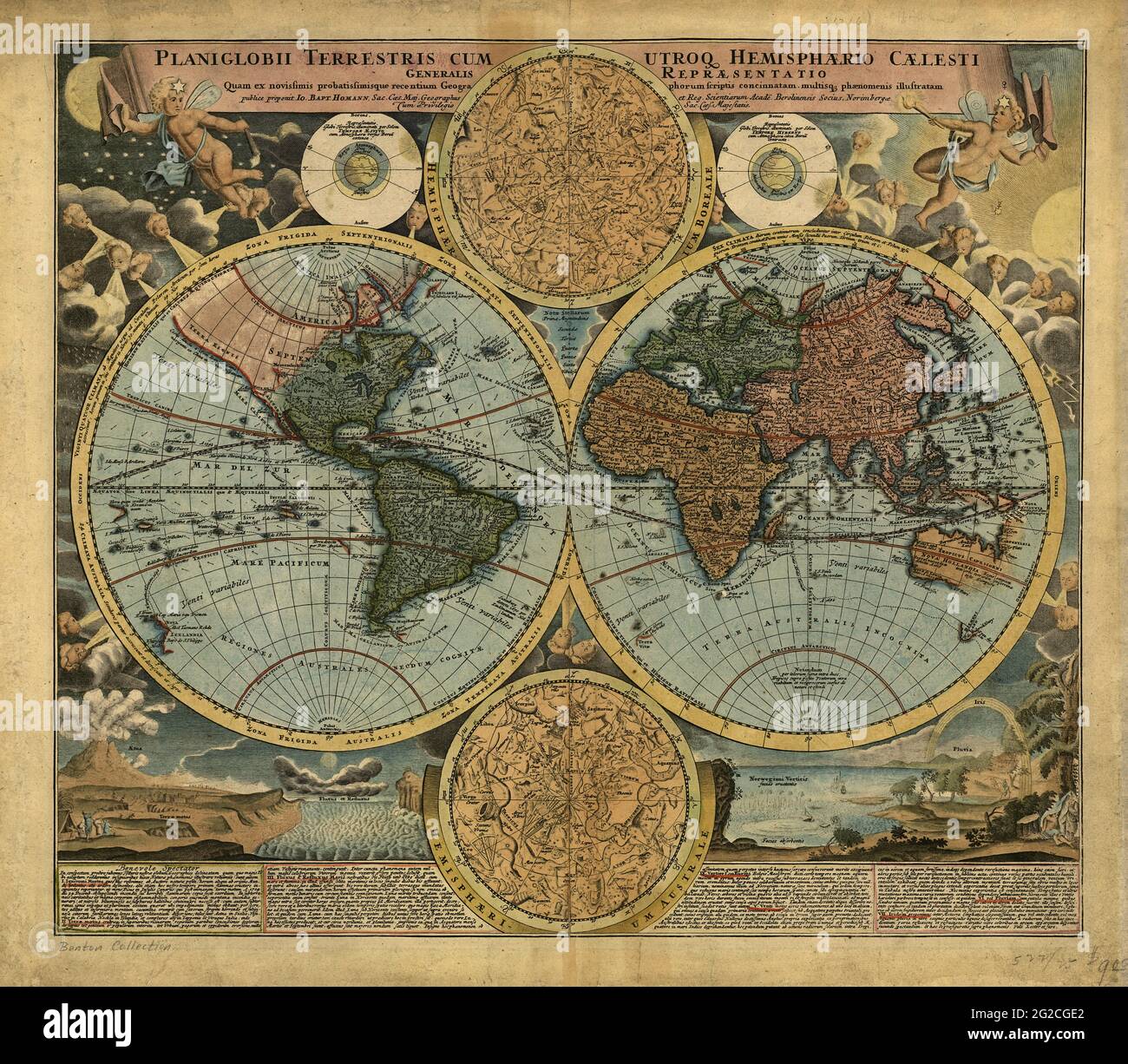 Vintage World Map, Retro World Map, Old Map of World, Vintage Map of World, Retro Map of World, World Map, Old World Maps, Vintage World Maps Stock Photohttps://www.alamy.com/image-license-details/?v=1https://www.alamy.com/vintage-world-map-retro-world-map-old-map-of-world-vintage-map-of-world-retro-map-of-world-world-map-old-world-maps-vintage-world-maps-image431764874.html
RF2G2CGE2–Vintage World Map, Retro World Map, Old Map of World, Vintage Map of World, Retro Map of World, World Map, Old World Maps, Vintage World Maps
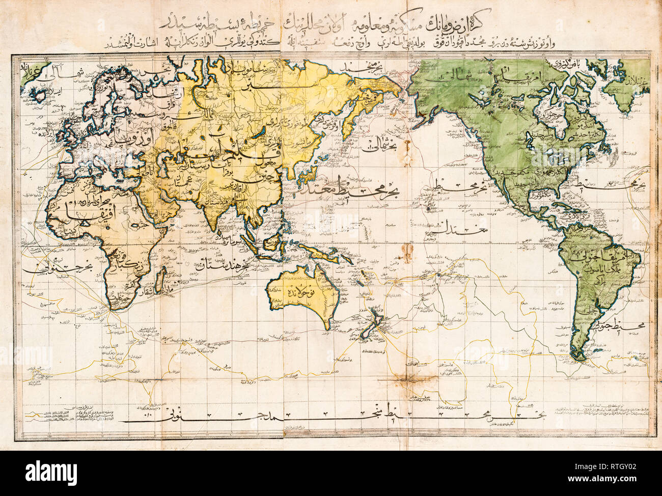 Old World Map published in Istanbul, 1803 in Arabic script Stock Photohttps://www.alamy.com/image-license-details/?v=1https://www.alamy.com/old-world-map-published-in-istanbul-1803-in-arabic-script-image238858930.html
RMRTGY02–Old World Map published in Istanbul, 1803 in Arabic script
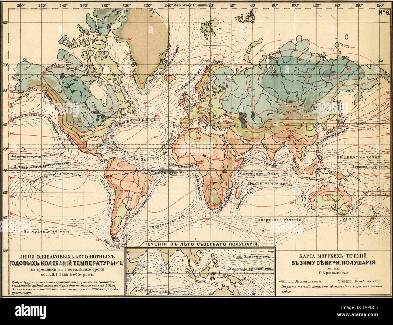 Lines of the same absolute annual temperature fluctuations. Map of the sea currents in the winter of the Northern Hemisphere. Sea currents in the summer of the Northern Hemisphere. 1910 Stock Photohttps://www.alamy.com/image-license-details/?v=1https://www.alamy.com/lines-of-the-same-absolute-annual-temperature-fluctuations-map-of-the-sea-currents-in-the-winter-of-the-northern-hemisphere-sea-currents-in-the-summer-of-the-northern-hemisphere-1910-image247585189.html
RMTAPDC5–Lines of the same absolute annual temperature fluctuations. Map of the sea currents in the winter of the Northern Hemisphere. Sea currents in the summer of the Northern Hemisphere. 1910
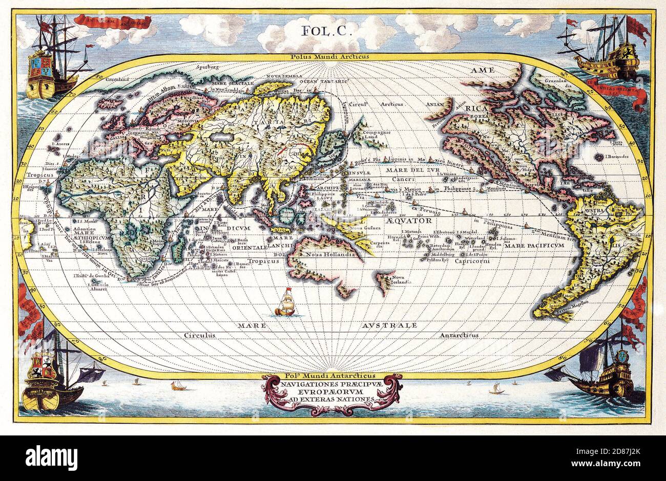 Illustrated old map of the World, vintage style full of details Stock Photohttps://www.alamy.com/image-license-details/?v=1https://www.alamy.com/illustrated-old-map-of-the-world-vintage-style-full-of-details-image383713195.html
RM2D87J2K–Illustrated old map of the World, vintage style full of details
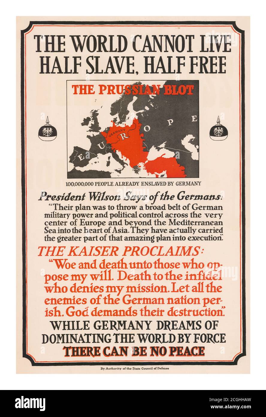 Vintage 1900’s Propaganda Poster ‘The World Cannot Live Half Slave, Half Free. The Prussian Blot’: 100,000,000 People Already Enslaved By Germany. This poster was published by the American State Council of Defense. It displays a pointed threat from the Kaiser and a quote from Wilson about the reach of German ambition. (Wilson's statement is from a speech he gave on Flag Day, June 14, 1917.) Poster displays a map of Europe and Turkey with a large red swath denoting the 'Prussian Blot.' Text includes quotations from President Wilson and Kaiser Wilhelm. Stock Photohttps://www.alamy.com/image-license-details/?v=1https://www.alamy.com/vintage-1900s-propaganda-poster-the-world-cannot-live-half-slave-half-free-the-prussian-blot-100000000-people-already-enslaved-by-germany-this-poster-was-published-by-the-american-state-council-of-defense-it-displays-a-pointed-threat-from-the-kaiser-and-a-quote-from-wilson-about-the-reach-of-german-ambition-wilsons-statement-is-from-a-speech-he-gave-on-flag-day-june-14-1917-poster-displays-a-map-of-europe-and-turkey-with-a-large-red-swath-denoting-the-prussian-blot-text-includes-quotations-from-president-wilson-and-kaiser-wilhelm-image371639041.html
RM2CGHHAW–Vintage 1900’s Propaganda Poster ‘The World Cannot Live Half Slave, Half Free. The Prussian Blot’: 100,000,000 People Already Enslaved By Germany. This poster was published by the American State Council of Defense. It displays a pointed threat from the Kaiser and a quote from Wilson about the reach of German ambition. (Wilson's statement is from a speech he gave on Flag Day, June 14, 1917.) Poster displays a map of Europe and Turkey with a large red swath denoting the 'Prussian Blot.' Text includes quotations from President Wilson and Kaiser Wilhelm.
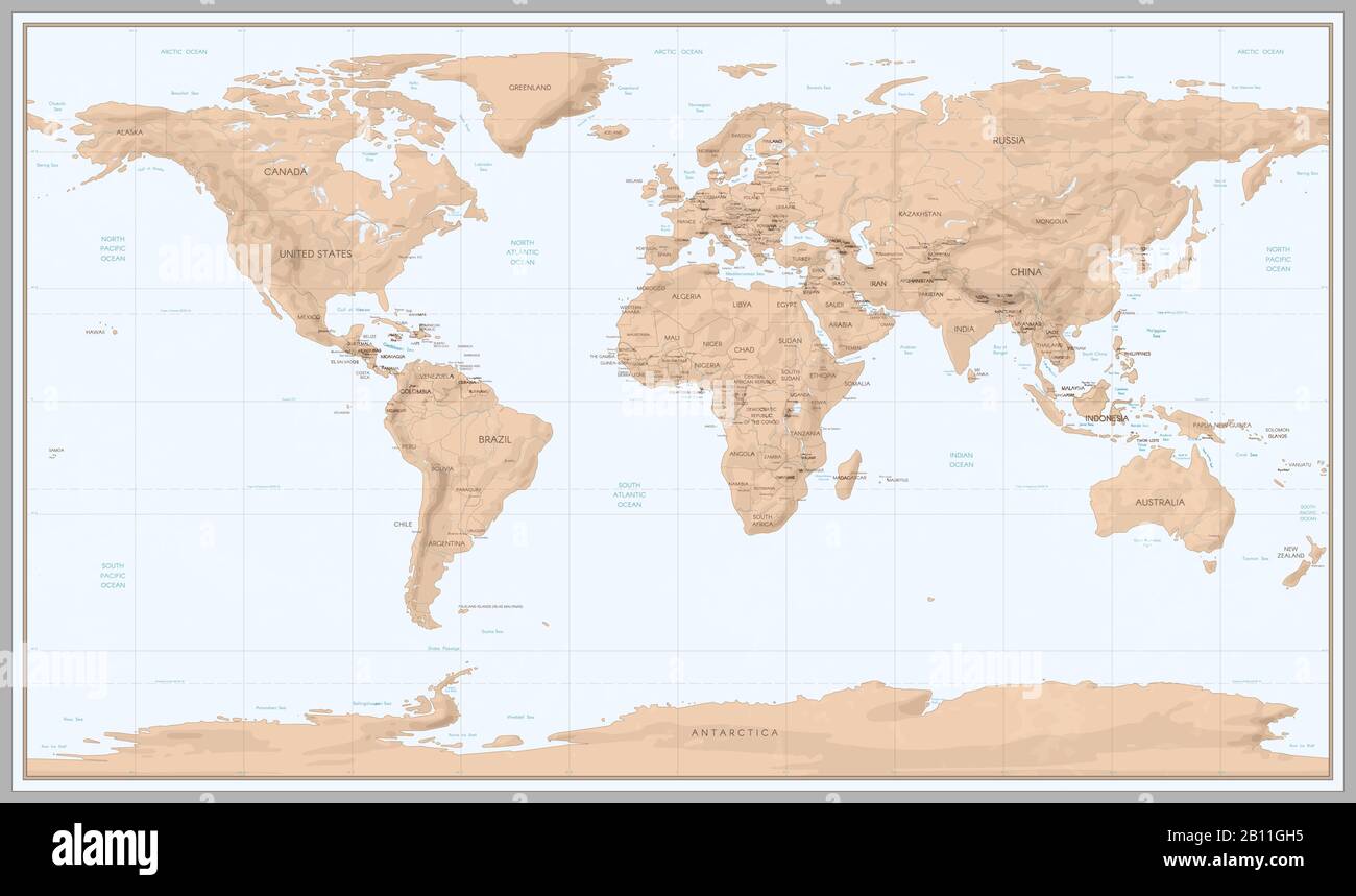 Vintage world map. Retro countries boundaries on topographic or marine map. Old continents navigation maps vector illustration Stock Vectorhttps://www.alamy.com/image-license-details/?v=1https://www.alamy.com/vintage-world-map-retro-countries-boundaries-on-topographic-or-marine-map-old-continents-navigation-maps-vector-illustration-image344856993.html
RF2B11GH5–Vintage world map. Retro countries boundaries on topographic or marine map. Old continents navigation maps vector illustration
 Conspectus of the key Maps to our Alphabetically arranged chapters describing the World (1923) Stock Photohttps://www.alamy.com/image-license-details/?v=1https://www.alamy.com/conspectus-of-the-key-maps-to-our-alphabetically-arranged-chapters-describing-the-world-1923-image459027809.html
RF2HJPEJ9–Conspectus of the key Maps to our Alphabetically arranged chapters describing the World (1923)
 travel, geography, world map, vintage, travels, geographies, world maps, vintage print, vintages Stock Photohttps://www.alamy.com/image-license-details/?v=1https://www.alamy.com/travel-geography-world-map-vintage-travels-geographies-world-maps-vintage-print-vintages-image478015015.html
RF2JNKD0R–travel, geography, world map, vintage, travels, geographies, world maps, vintage print, vintages
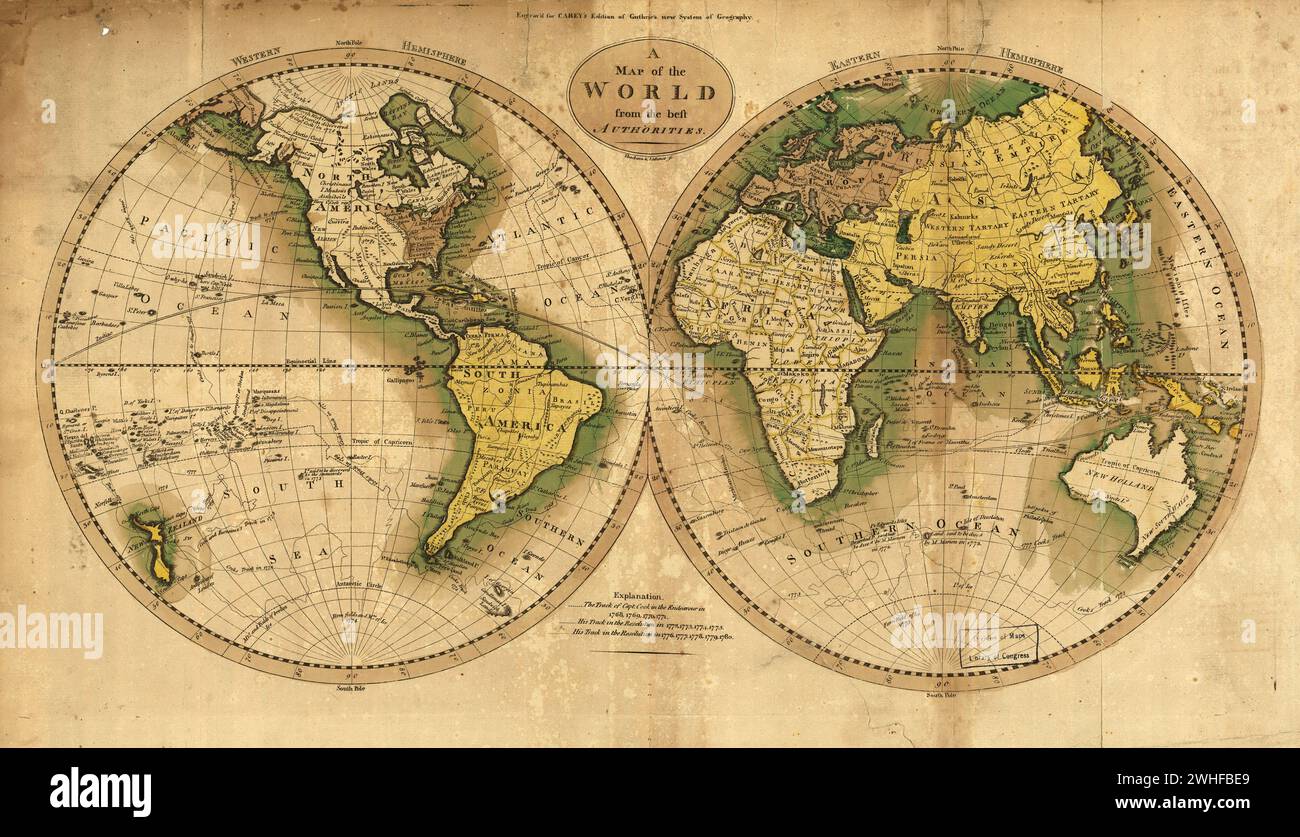 Vintage map of the world in two hemispheres ca. 1795 Stock Photohttps://www.alamy.com/image-license-details/?v=1https://www.alamy.com/vintage-map-of-the-world-in-two-hemispheres-ca-1795-image595939969.html
RF2WHFBE9–Vintage map of the world in two hemispheres ca. 1795
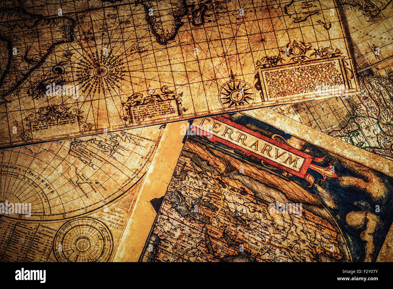 Old vintage ancient maps Stock Photohttps://www.alamy.com/image-license-details/?v=1https://www.alamy.com/stock-photo-old-vintage-ancient-maps-87874079.html
RFF2Y07Y–Old vintage ancient maps
 old vintage maps of the world Stock Photohttps://www.alamy.com/image-license-details/?v=1https://www.alamy.com/stock-photo-old-vintage-maps-of-the-world-131328088.html
RFHHJE8T–old vintage maps of the world
 School in the 1940s. A girl in is very closely studying the details of a globe , something is interesting her on the circular map of the world. Sweden 1945 Kristoffersson ref P4-5 Stock Photohttps://www.alamy.com/image-license-details/?v=1https://www.alamy.com/school-in-the-1940s-a-girl-in-is-very-closely-studying-the-details-of-a-globe-something-is-interesting-her-on-the-circular-map-of-the-world-sweden-1945-kristoffersson-ref-p4-5-image571821654.html
RM2T68M9X–School in the 1940s. A girl in is very closely studying the details of a globe , something is interesting her on the circular map of the world. Sweden 1945 Kristoffersson ref P4-5
![[ 1860s Japan - Map of Japan ] — Dutch map of Japan, ca 1860, based on Stielers Handatlas (after Adolf Stieler, 1775-1836). Formally titled 'Hand-Atlas über alle Theile der Erde und über das Weltgebäude', it was the leading German world atlas of the last three decades of the 19th and the first half of the 20th century. 19th century vintage map. Stock Photo [ 1860s Japan - Map of Japan ] — Dutch map of Japan, ca 1860, based on Stielers Handatlas (after Adolf Stieler, 1775-1836). Formally titled 'Hand-Atlas über alle Theile der Erde und über das Weltgebäude', it was the leading German world atlas of the last three decades of the 19th and the first half of the 20th century. 19th century vintage map. Stock Photo](https://c8.alamy.com/comp/WATK57/1860s-japan-map-of-japan-dutch-map-of-japan-ca-1860-based-on-stielers-handatlas-after-adolf-stieler-1775-1836-formally-titled-hand-atlas-ber-alle-theile-der-erde-und-ber-das-weltgebude-it-was-the-leading-german-world-atlas-of-the-last-three-decades-of-the-19th-and-the-first-half-of-the-20th-century-19th-century-vintage-map-WATK57.jpg) [ 1860s Japan - Map of Japan ] — Dutch map of Japan, ca 1860, based on Stielers Handatlas (after Adolf Stieler, 1775-1836). Formally titled 'Hand-Atlas über alle Theile der Erde und über das Weltgebäude', it was the leading German world atlas of the last three decades of the 19th and the first half of the 20th century. 19th century vintage map. Stock Photohttps://www.alamy.com/image-license-details/?v=1https://www.alamy.com/1860s-japan-map-of-japan-dutch-map-of-japan-ca-1860-based-on-stielers-handatlas-after-adolf-stieler-1775-1836-formally-titled-hand-atlas-ber-alle-theile-der-erde-und-ber-das-weltgebude-it-was-the-leading-german-world-atlas-of-the-last-three-decades-of-the-19th-and-the-first-half-of-the-20th-century-19th-century-vintage-map-image264843971.html
[ 1860s Japan - Map of Japan ] — Dutch map of Japan, ca 1860, based on Stielers Handatlas (after Adolf Stieler, 1775-1836). Formally titled 'Hand-Atlas über alle Theile der Erde und über das Weltgebäude', it was the leading German world atlas of the last three decades of the 19th and the first half of the 20th century. 19th century vintage map. Stock Photohttps://www.alamy.com/image-license-details/?v=1https://www.alamy.com/1860s-japan-map-of-japan-dutch-map-of-japan-ca-1860-based-on-stielers-handatlas-after-adolf-stieler-1775-1836-formally-titled-hand-atlas-ber-alle-theile-der-erde-und-ber-das-weltgebude-it-was-the-leading-german-world-atlas-of-the-last-three-decades-of-the-19th-and-the-first-half-of-the-20th-century-19th-century-vintage-map-image264843971.htmlRMWATK57–[ 1860s Japan - Map of Japan ] — Dutch map of Japan, ca 1860, based on Stielers Handatlas (after Adolf Stieler, 1775-1836). Formally titled 'Hand-Atlas über alle Theile der Erde und über das Weltgebäude', it was the leading German world atlas of the last three decades of the 19th and the first half of the 20th century. 19th century vintage map.
 Vintage historical Illustrated World Map. Ptolemaic Map of the World by Sebastian Münster, from Münster's edition of the Geographia, circa 1550s. Stock Photohttps://www.alamy.com/image-license-details/?v=1https://www.alamy.com/vintage-historical-illustrated-world-map-ptolemaic-map-of-the-world-by-sebastian-mnster-from-mnsters-edition-of-the-geographia-circa-1550s-image598427997.html
RM2WNGN0D–Vintage historical Illustrated World Map. Ptolemaic Map of the World by Sebastian Münster, from Münster's edition of the Geographia, circa 1550s.
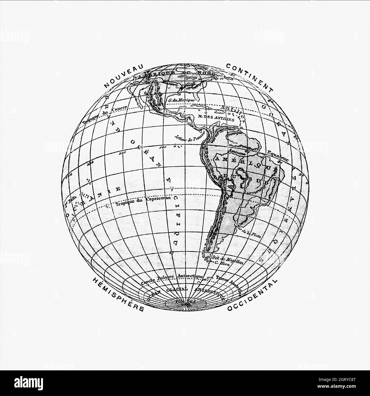 World atlas from The Practical Teaching of Geography. Atlas, Maps, Texts and Questionnaires... Elementary Course (1878). Map of the World. Stock Photohttps://www.alamy.com/image-license-details/?v=1https://www.alamy.com/world-atlas-from-the-practical-teaching-of-geography-atlas-maps-texts-and-questionnaires-elementary-course-1878-map-of-the-world-image444998648.html
RM2GRYC8T–World atlas from The Practical Teaching of Geography. Atlas, Maps, Texts and Questionnaires... Elementary Course (1878). Map of the World.
 Vintage copper engraved map of Persia. All maps are beautifully colored and illustrated showing the world at the time. Stock Photohttps://www.alamy.com/image-license-details/?v=1https://www.alamy.com/vintage-copper-engraved-map-of-persia-all-maps-are-beautifully-colored-and-illustrated-showing-the-world-at-the-time-image425692434.html
RF2FMFY16–Vintage copper engraved map of Persia. All maps are beautifully colored and illustrated showing the world at the time.
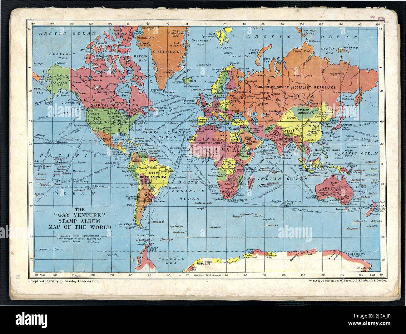 Original tattered, shabby well used 1950's era colour world map - on the reverse of The Gay Venture stamp album, with an educational map of the world, second edition, printed in London, U.K. Stock Photohttps://www.alamy.com/image-license-details/?v=1https://www.alamy.com/original-tattered-shabby-well-used-1950s-era-colour-world-map-on-the-reverse-of-the-gay-venture-stamp-album-with-an-educational-map-of-the-world-second-edition-printed-in-london-uk-image474748590.html
RM2JGAJJP–Original tattered, shabby well used 1950's era colour world map - on the reverse of The Gay Venture stamp album, with an educational map of the world, second edition, printed in London, U.K.
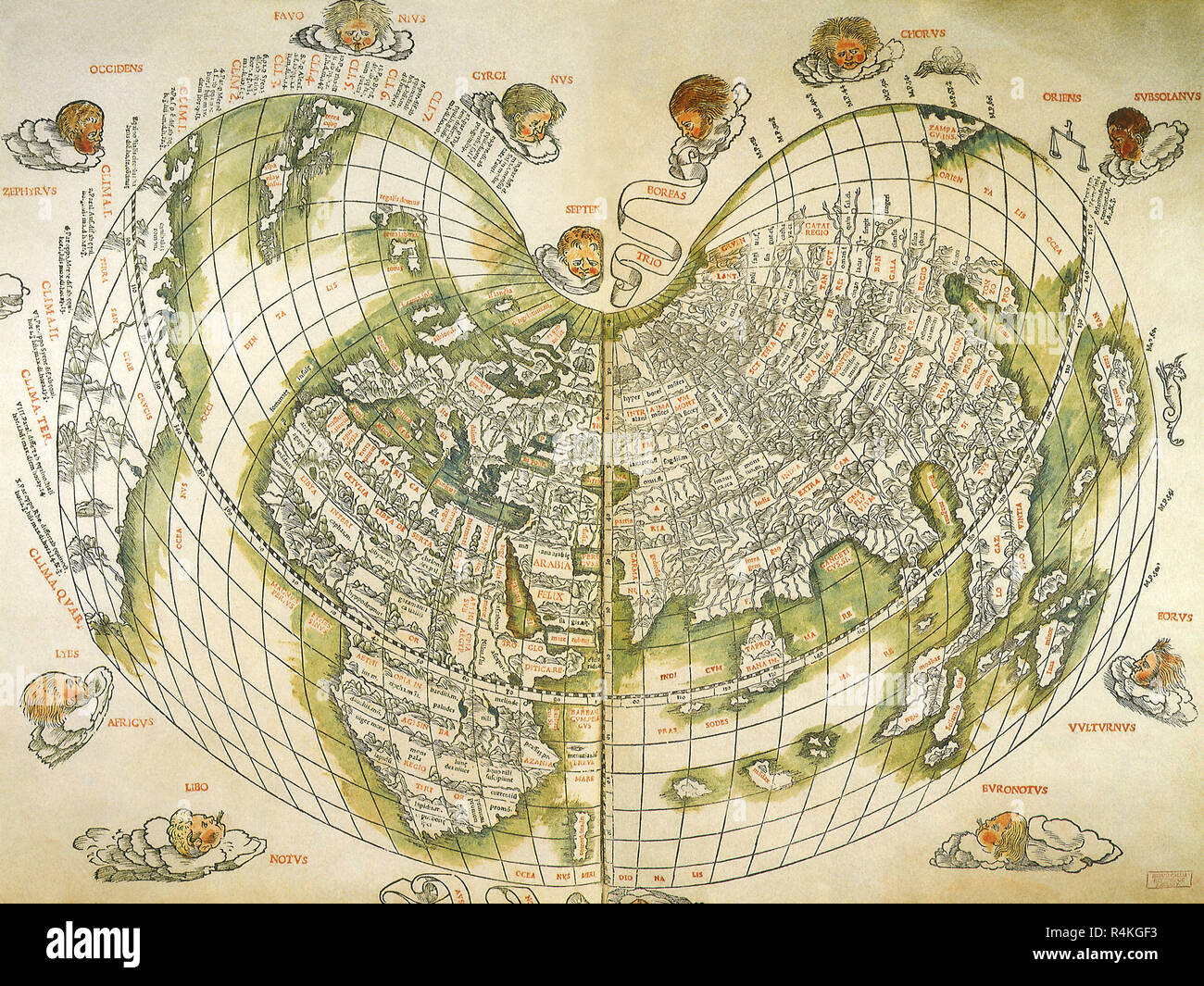 Map of the World 1511, Corte-Real, Gaspard and Miguel. Stock Photohttps://www.alamy.com/image-license-details/?v=1https://www.alamy.com/map-of-the-world-1511-corte-real-gaspard-and-miguel-image226623463.html
RMR4KGF3–Map of the World 1511, Corte-Real, Gaspard and Miguel.
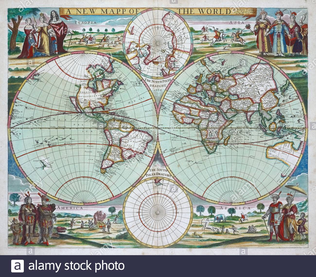 Map of the World, vintage map from 1702 Stock Photohttps://www.alamy.com/image-license-details/?v=1https://www.alamy.com/map-of-the-world-vintage-map-from-1702-image398089493.html
RM2E3JF5W–Map of the World, vintage map from 1702
 Antique Maps of the World, Double Hemisphere Map, Old World Map, Antique World Map, Vintage World Map, Retro World Map, George Louis Le Rouge, c 1744 Stock Photohttps://www.alamy.com/image-license-details/?v=1https://www.alamy.com/antique-maps-of-the-world-double-hemisphere-map-old-world-map-antique-world-map-vintage-world-map-retro-world-map-george-louis-le-rouge-c-1744-image431792338.html
RF2G2DREX–Antique Maps of the World, Double Hemisphere Map, Old World Map, Antique World Map, Vintage World Map, Retro World Map, George Louis Le Rouge, c 1744
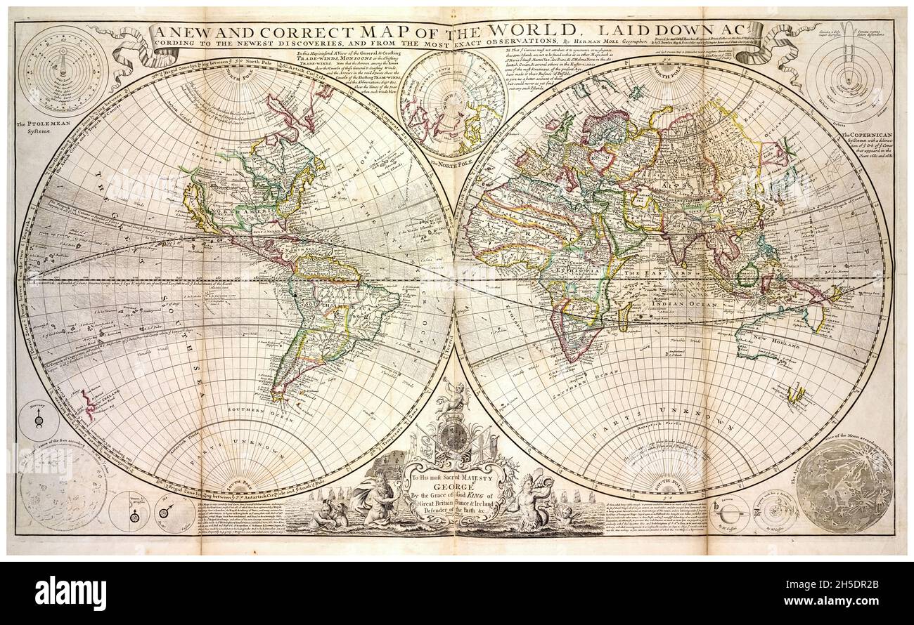 18th Century vintage World Map by Herman Moll, circa 1736 Stock Photohttps://www.alamy.com/image-license-details/?v=1https://www.alamy.com/18th-century-vintage-world-map-by-herman-moll-circa-1736-image450846323.html
RM2H5DR2B–18th Century vintage World Map by Herman Moll, circa 1736
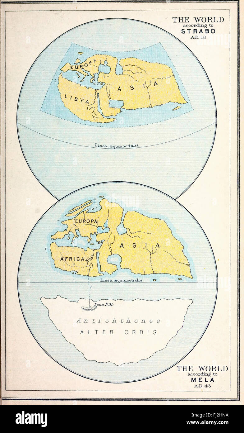 Map of The World according to Strabo, AD 18 and the World according to Mela, AD 43 Stock Photohttps://www.alamy.com/image-license-details/?v=1https://www.alamy.com/stock-photo-map-of-the-world-according-to-strabo-ad-18-and-the-world-according-97173478.html
RMFJ2HNA–Map of The World according to Strabo, AD 18 and the World according to Mela, AD 43
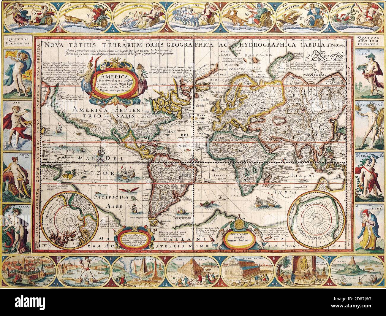 Illustrated old map of the World, vintage style full of details Stock Photohttps://www.alamy.com/image-license-details/?v=1https://www.alamy.com/illustrated-old-map-of-the-world-vintage-style-full-of-details-image383713304.html
RM2D87J6G–Illustrated old map of the World, vintage style full of details
 Vintage 1940’s PROPAGANDA WW2 World War II British UK propaganda - ’They Cheer When You Forget Your Maps’ showing a desert patrol pilot landing by mistake in a snow bound landscape Hitler Tojo and Mussolini laughing in background on an igloo. Stock Photohttps://www.alamy.com/image-license-details/?v=1https://www.alamy.com/vintage-1940s-propaganda-ww2-world-war-ii-british-uk-propaganda-they-cheer-when-you-forget-your-maps-showing-a-desert-patrol-pilot-landing-by-mistake-in-a-snow-bound-landscape-hitler-tojo-and-mussolini-laughing-in-background-on-an-igloo-image368356208.html
RM2CB822T–Vintage 1940’s PROPAGANDA WW2 World War II British UK propaganda - ’They Cheer When You Forget Your Maps’ showing a desert patrol pilot landing by mistake in a snow bound landscape Hitler Tojo and Mussolini laughing in background on an igloo.
 Antique compass on world map. Vintage geographic history maps with marine compasses arrows vector illustration Stock Vectorhttps://www.alamy.com/image-license-details/?v=1https://www.alamy.com/antique-compass-on-world-map-vintage-geographic-history-maps-with-marine-compasses-arrows-vector-illustration-image344854122.html
RF2B11CXJ–Antique compass on world map. Vintage geographic history maps with marine compasses arrows vector illustration
 Texas & Oklahoma state maps. BARTHOLOMEW 1949 old vintage plan chart Stock Photohttps://www.alamy.com/image-license-details/?v=1https://www.alamy.com/texas-oklahoma-state-maps-bartholomew-1949-old-vintage-plan-chart-image428910640.html
RF2FWPFW4–Texas & Oklahoma state maps. BARTHOLOMEW 1949 old vintage plan chart
RF2B80HAE–World map vector isolated on white background. Flat Earth gray similar template for web site pattern, cover, anual report, inphographics. Globe worldmap icon. Travel country silhouette backdrop.
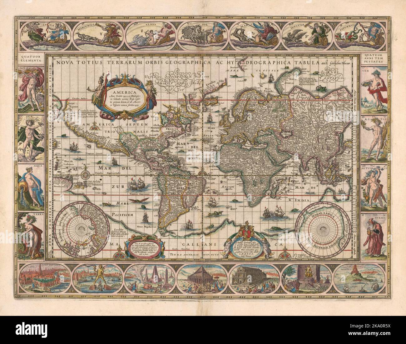 Vintage 17th century decorated map of the world by Dutch cartographer Willem Janszoon Blaeu (1571-1638) Stock Photohttps://www.alamy.com/image-license-details/?v=1https://www.alamy.com/vintage-17th-century-decorated-map-of-the-world-by-dutch-cartographer-willem-janszoon-blaeu-1571-1638-image488055062.html
RM2KA0R5X–Vintage 17th century decorated map of the world by Dutch cartographer Willem Janszoon Blaeu (1571-1638)
 Image taken from page 227 of 'A Historical Geography of the British Colonies (of the British Empire)' Image taken from page 227 of 'A Historical Geography of Stock Photohttps://www.alamy.com/image-license-details/?v=1https://www.alamy.com/stock-photo-image-taken-from-page-227-of-a-historical-geography-of-the-british-127808029.html
RMHBX4CD–Image taken from page 227 of 'A Historical Geography of the British Colonies (of the British Empire)' Image taken from page 227 of 'A Historical Geography of
 old, vintage maps of the world Stock Photohttps://www.alamy.com/image-license-details/?v=1https://www.alamy.com/stock-photo-old-vintage-maps-of-the-world-131328096.html
RFHHJE94–old, vintage maps of the world
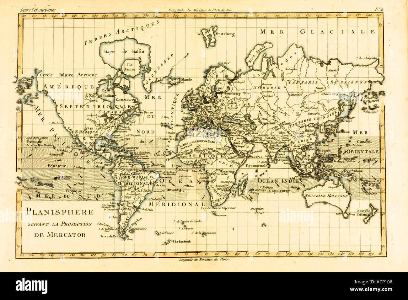 World map circa 1760 Stock Photohttps://www.alamy.com/image-license-details/?v=1https://www.alamy.com/world-map-circa-1760-image2449669.html
RMACP106–World map circa 1760
 School in the 1940s. A girl in is very closely studying the details of a globe , something is interesting her on the circular map of the world. Sweden 1945 Kristoffersson ref P4-6 Stock Photohttps://www.alamy.com/image-license-details/?v=1https://www.alamy.com/school-in-the-1940s-a-girl-in-is-very-closely-studying-the-details-of-a-globe-something-is-interesting-her-on-the-circular-map-of-the-world-sweden-1945-kristoffersson-ref-p4-6-image571823592.html
RM2T68PR4–School in the 1940s. A girl in is very closely studying the details of a globe , something is interesting her on the circular map of the world. Sweden 1945 Kristoffersson ref P4-6
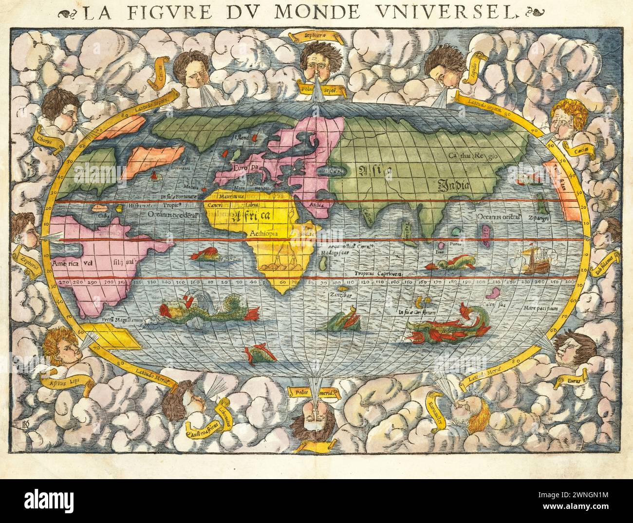 Vintage Illustrated World Map. First edition of Munster's map of the World, from the second woodblock, circa 1552. Titled 'La Figure du Monde Universel'. Stock Photohttps://www.alamy.com/image-license-details/?v=1https://www.alamy.com/vintage-illustrated-world-map-first-edition-of-munsters-map-of-the-world-from-the-second-woodblock-circa-1552-titled-la-figure-du-monde-universel-image598428032.html
RM2WNGN1M–Vintage Illustrated World Map. First edition of Munster's map of the World, from the second woodblock, circa 1552. Titled 'La Figure du Monde Universel'.
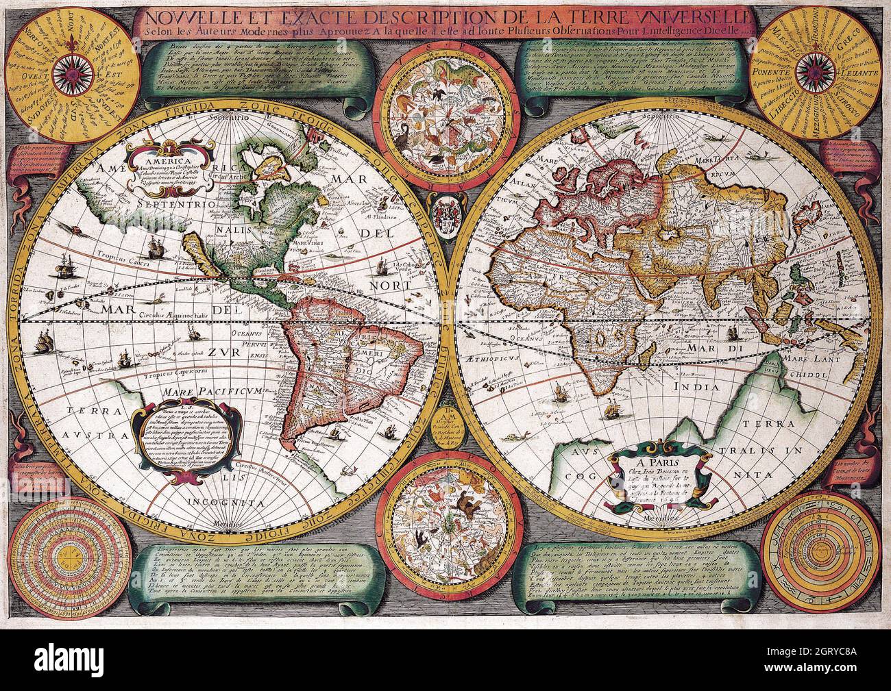 Map of the World, Jean Boisseau, Nouvelle et Exacte Description de la Terre Universelle, c 1646 Stock Photohttps://www.alamy.com/image-license-details/?v=1https://www.alamy.com/map-of-the-world-jean-boisseau-nouvelle-et-exacte-description-de-la-terre-universelle-c-1646-image444998634.html
RM2GRYC8A–Map of the World, Jean Boisseau, Nouvelle et Exacte Description de la Terre Universelle, c 1646
 Vintage copper engraved map of Persia. All maps are beautifully colored and illustrated showing the world at the time. Stock Photohttps://www.alamy.com/image-license-details/?v=1https://www.alamy.com/vintage-copper-engraved-map-of-persia-all-maps-are-beautifully-colored-and-illustrated-showing-the-world-at-the-time-image425692433.html
RF2FMFY15–Vintage copper engraved map of Persia. All maps are beautifully colored and illustrated showing the world at the time.
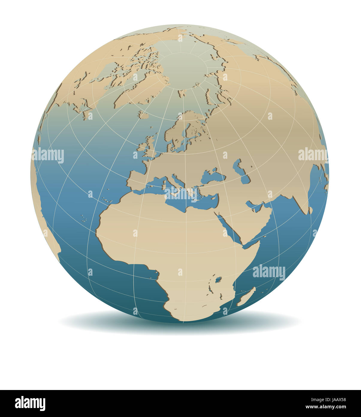 Retro Style Europe Global World, Elements of this image furnished by NASA Stock Photohttps://www.alamy.com/image-license-details/?v=1https://www.alamy.com/stock-photo-retro-style-europe-global-world-elements-of-this-image-furnished-by-144069556.html
RFJAAX58–Retro Style Europe Global World, Elements of this image furnished by NASA
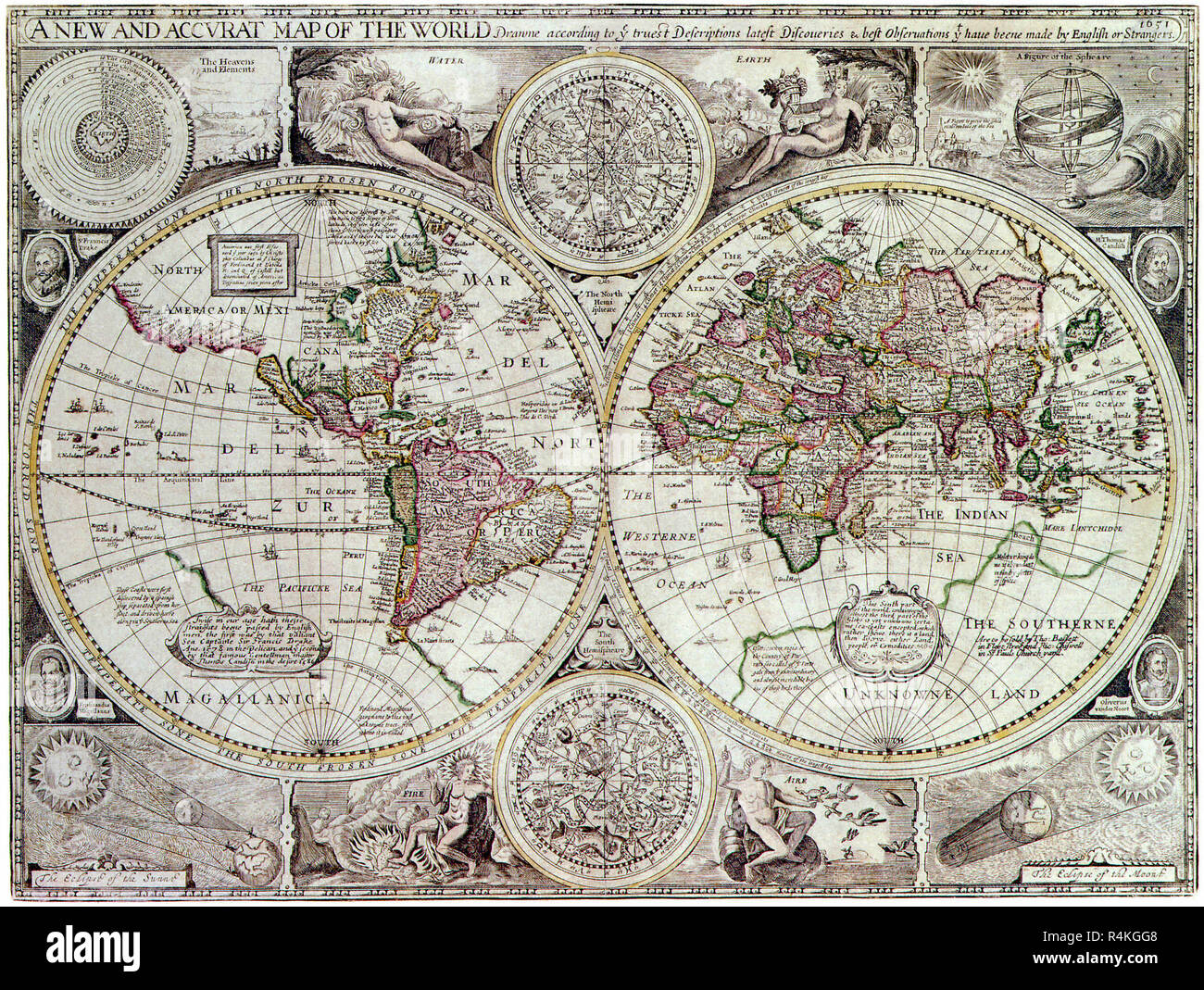 Map of the World, 1627, Speed, John. Stock Photohttps://www.alamy.com/image-license-details/?v=1https://www.alamy.com/map-of-the-world-1627-speed-john-image226623496.html
RMR4KGG8–Map of the World, 1627, Speed, John.
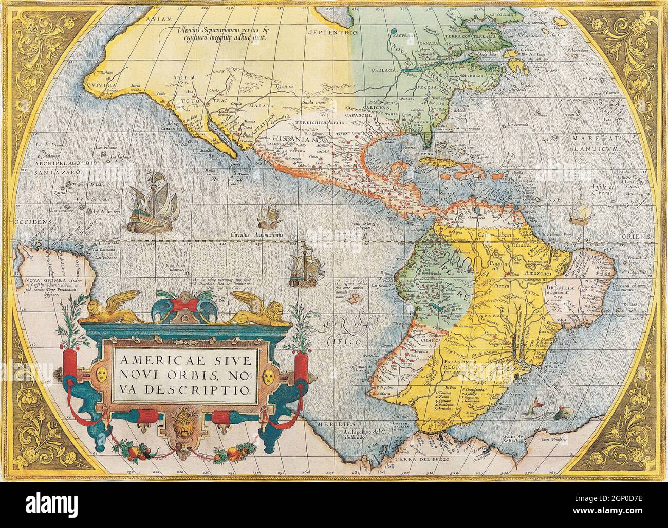 Antique Vintage Maps of the World The Americas Abraham Ortelius17th 18th Stock Photohttps://www.alamy.com/image-license-details/?v=1https://www.alamy.com/antique-vintage-maps-of-the-world-the-americas-abraham-ortelius17th-18th-image443792034.html
RF2GP0D7E–Antique Vintage Maps of the World The Americas Abraham Ortelius17th 18th
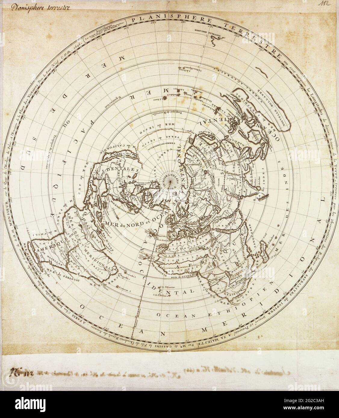 Continent Map, Map of Continent, Old World Map, Antique World Map, Vintage World Map, Retro World Map, Old Map of World, Vintage Map of World, Stock Photohttps://www.alamy.com/image-license-details/?v=1https://www.alamy.com/continent-map-map-of-continent-old-world-map-antique-world-map-vintage-world-map-retro-world-map-old-map-of-world-vintage-map-of-world-image431754585.html
RF2G2C3AH–Continent Map, Map of Continent, Old World Map, Antique World Map, Vintage World Map, Retro World Map, Old Map of World, Vintage Map of World,
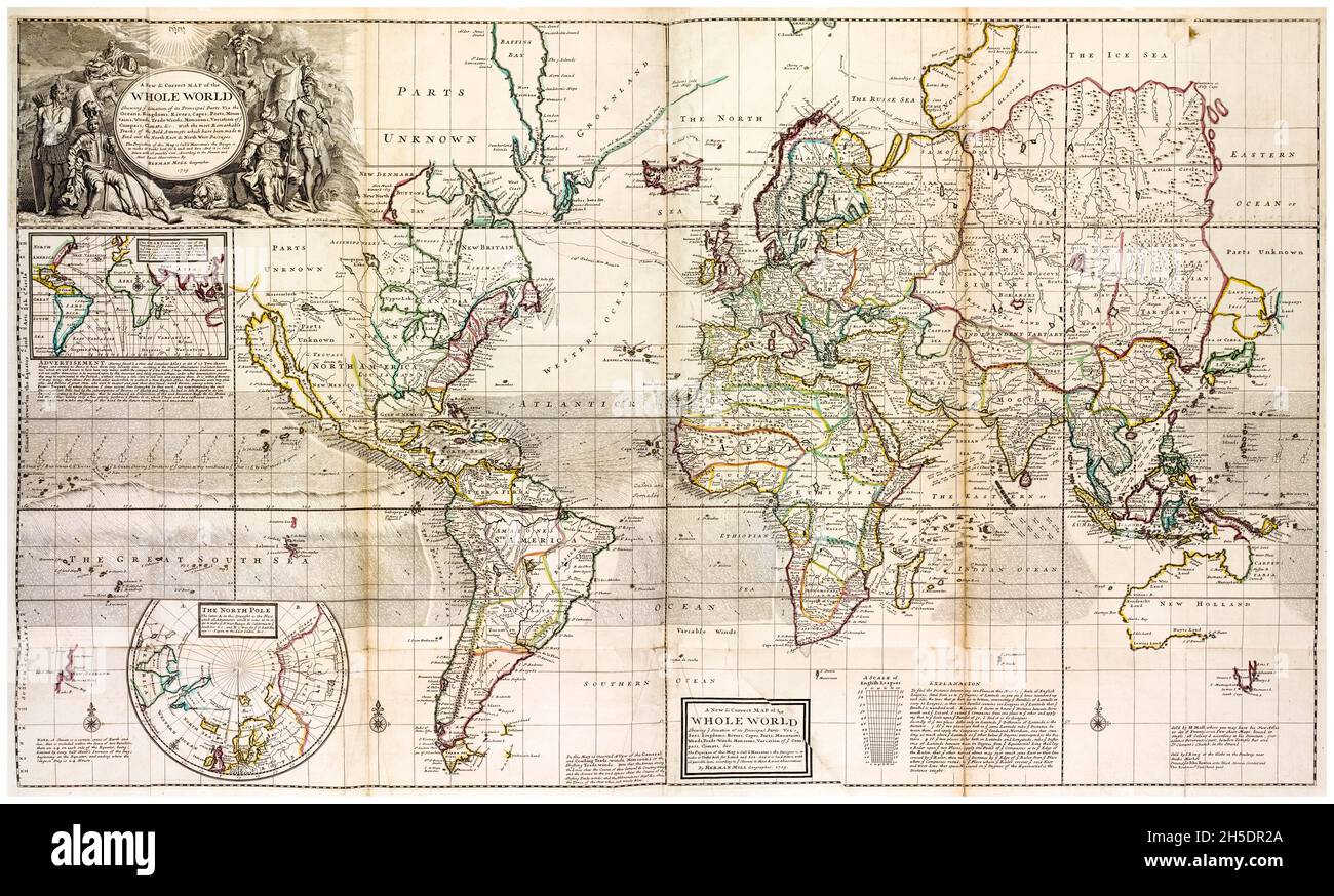 18th Century vintage World Map by Herman Moll, circa 1736 Stock Photohttps://www.alamy.com/image-license-details/?v=1https://www.alamy.com/18th-century-vintage-world-map-by-herman-moll-circa-1736-image450846322.html
RM2H5DR2A–18th Century vintage World Map by Herman Moll, circa 1736
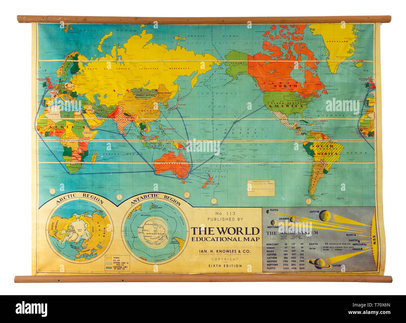 Vintage education color world map Stock Photohttps://www.alamy.com/image-license-details/?v=1https://www.alamy.com/vintage-education-color-world-map-image245268317.html
RMT70X6N–Vintage education color world map
 Illustrated old map of the World, vintage style full of details Stock Photohttps://www.alamy.com/image-license-details/?v=1https://www.alamy.com/illustrated-old-map-of-the-world-vintage-style-full-of-details-image383713189.html
RM2D87J2D–Illustrated old map of the World, vintage style full of details
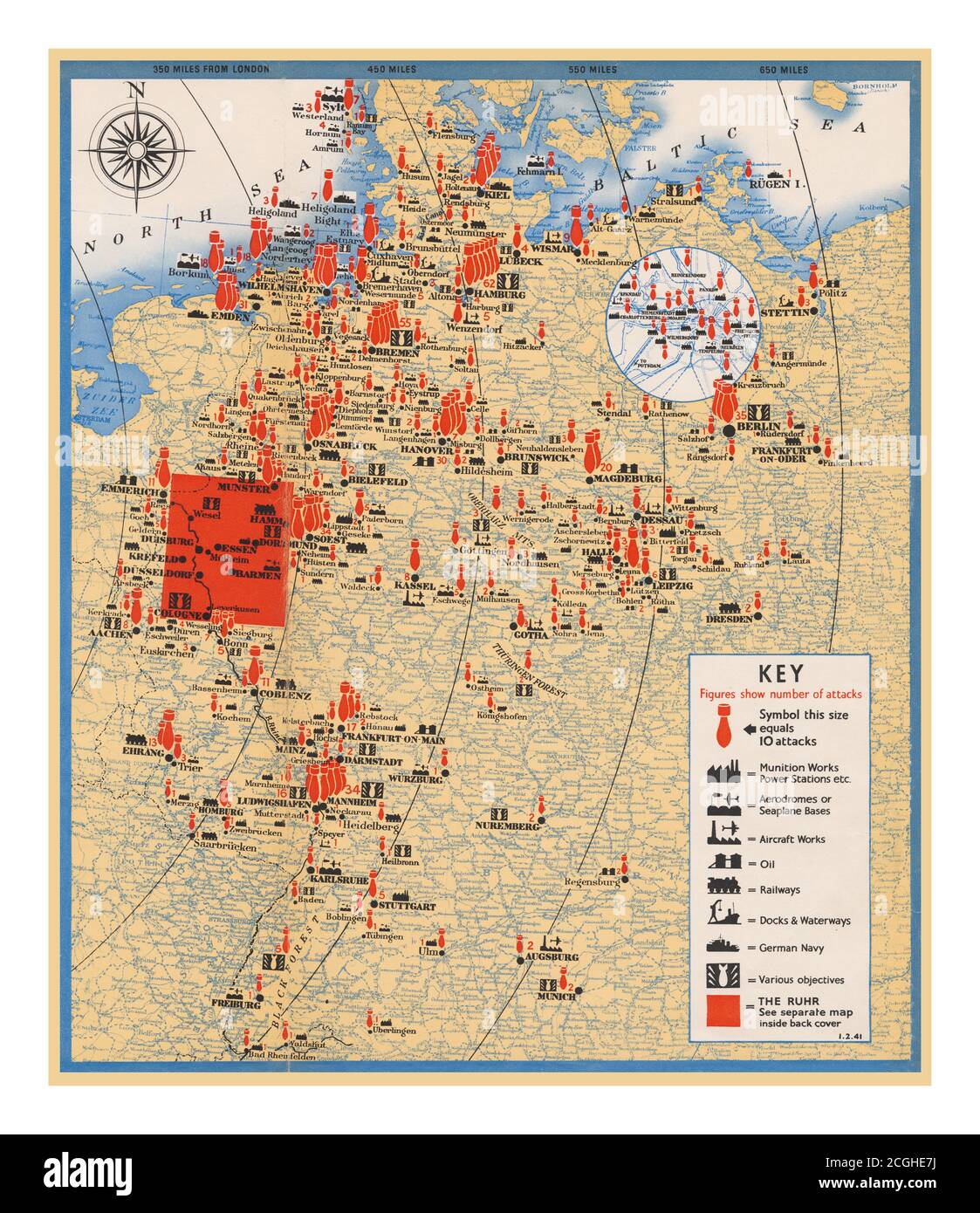 Vintage Propaganda Poster Great Britain WW2 British Air Ministry reassuring the English public that the RAF was striking back at Nazi Germany. 'During the Second World War, Propaganda bombing raids maps helped to bolster home support for the war effort.' “Some idea of the persistence and precision of the bombing attacks made on Germany by the Royal Air Force is given in the map poster which shows the vast web of destruction woven day after day and night after night by the British bombers, who have struck 270 target areas of military and strategic importance in Nazi Germany. Stock Photohttps://www.alamy.com/image-license-details/?v=1https://www.alamy.com/vintage-propaganda-poster-great-britain-ww2-british-air-ministry-reassuring-the-english-public-that-the-raf-was-striking-back-at-nazi-germany-during-the-second-world-war-propaganda-bombing-raids-maps-helped-to-bolster-home-support-for-the-war-effort-some-idea-of-the-persistence-and-precision-of-the-bombing-attacks-made-on-germany-by-the-royal-air-force-is-given-in-the-map-poster-which-shows-the-vast-web-of-destruction-woven-day-after-day-and-night-after-night-by-the-british-bombers-who-have-struck-270-target-areas-of-military-and-strategic-importance-in-nazi-germany-image371636598.html
RM2CGHE7J–Vintage Propaganda Poster Great Britain WW2 British Air Ministry reassuring the English public that the RAF was striking back at Nazi Germany. 'During the Second World War, Propaganda bombing raids maps helped to bolster home support for the war effort.' “Some idea of the persistence and precision of the bombing attacks made on Germany by the Royal Air Force is given in the map poster which shows the vast web of destruction woven day after day and night after night by the British bombers, who have struck 270 target areas of military and strategic importance in Nazi Germany.
 A table layout of a vintage pocket compass old scrolls and a world globe model - 3D render Stock Photohttps://www.alamy.com/image-license-details/?v=1https://www.alamy.com/stock-photo-a-table-layout-of-a-vintage-pocket-compass-old-scrolls-and-a-world-135386480.html
RFHT7ARC–A table layout of a vintage pocket compass old scrolls and a world globe model - 3D render
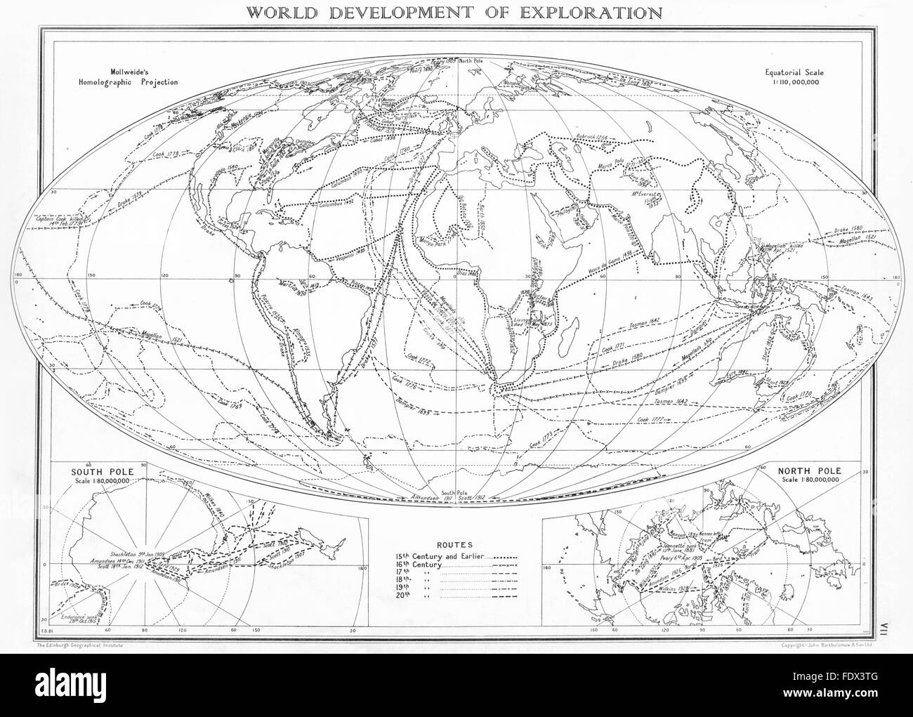 WORLD: Development of exploration; Inset maps south Pole; North Pole, 1938 Stock Photohttps://www.alamy.com/image-license-details/?v=1https://www.alamy.com/stock-photo-world-development-of-exploration-inset-maps-south-pole-north-pole-94616160.html
RFFDX3TG–WORLD: Development of exploration; Inset maps south Pole; North Pole, 1938
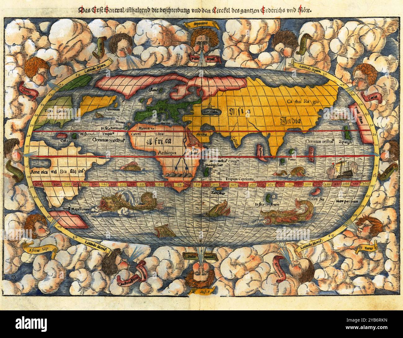 Vintage Detailed World Map Printable Download Travel Poster Stock Photohttps://www.alamy.com/image-license-details/?v=1https://www.alamy.com/vintage-detailed-world-map-printable-download-travel-poster-image626484761.html
RF2YB6RKN–Vintage Detailed World Map Printable Download Travel Poster
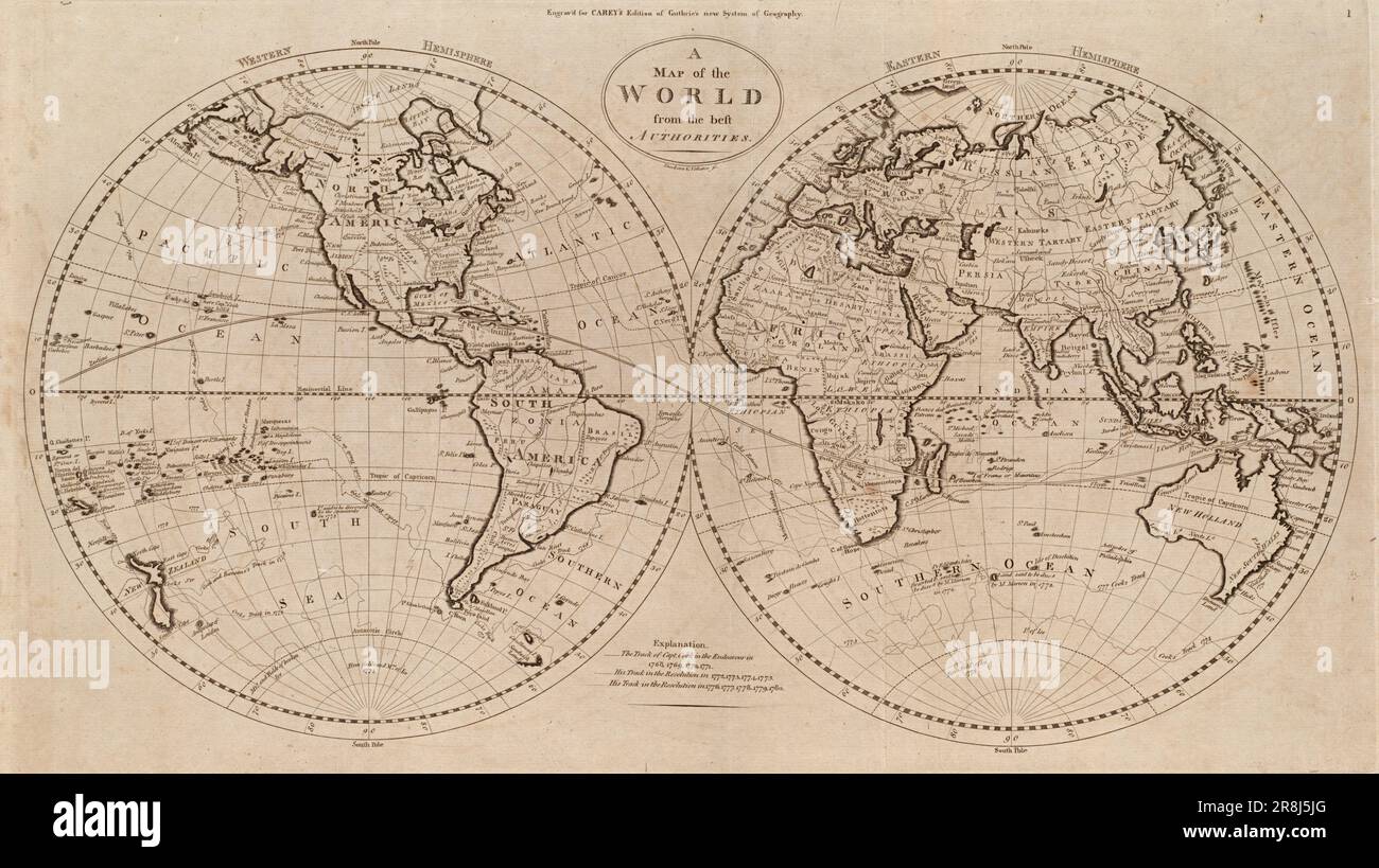 Vintage two hemispheres map of the world by Mathew Carey c. 1800. Map also shows voyages of Captain James Cook on the HMS Endeavour and the HMS Resolution Stock Photohttps://www.alamy.com/image-license-details/?v=1https://www.alamy.com/vintage-two-hemispheres-map-of-the-world-by-mathew-carey-c-1800-map-also-shows-voyages-of-captain-james-cook-on-the-hms-endeavour-and-the-hms-resolution-image556048600.html
RM2R8J5JG–Vintage two hemispheres map of the world by Mathew Carey c. 1800. Map also shows voyages of Captain James Cook on the HMS Endeavour and the HMS Resolution
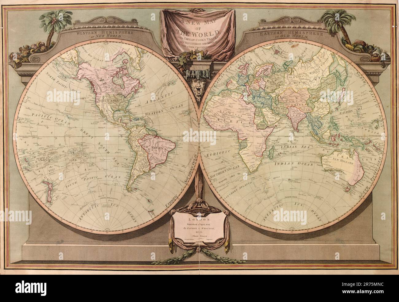 A new and elegant imperial sheet atlas, comprehending general and particular maps of every part of the world 1800 Stock Photohttps://www.alamy.com/image-license-details/?v=1https://www.alamy.com/a-new-and-elegant-imperial-sheet-atlas-comprehending-general-and-particular-maps-of-every-part-of-the-world-1800-image555160408.html
RF2R75MNC–A new and elegant imperial sheet atlas, comprehending general and particular maps of every part of the world 1800
 old vintage maps of the world Stock Photohttps://www.alamy.com/image-license-details/?v=1https://www.alamy.com/stock-photo-old-vintage-maps-of-the-world-131328081.html
RFHHJE8H–old vintage maps of the world
 compass, navigation, world map, navigations, world maps Stock Photohttps://www.alamy.com/image-license-details/?v=1https://www.alamy.com/compass-navigation-world-map-navigations-world-maps-image478015022.html
RF2JNKD12–compass, navigation, world map, navigations, world maps
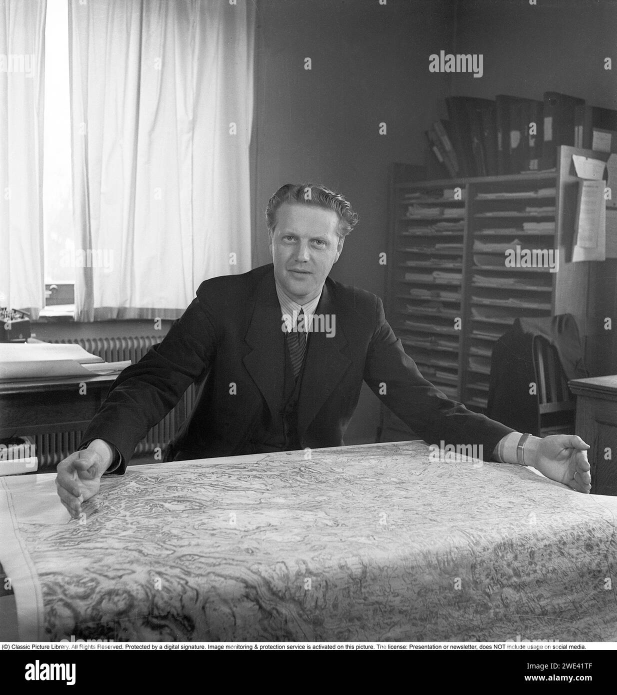 The world's largest city. In 1944, the Swedish town of Kiruna was planned to be reorganized from a rural municipality to a city. Plans that at this time are a few years ahead in time, but which according to Kiruna's municipal board chairman Hjalmar Nyström are firm. Kiruna is planned to become the world's largest city with an area of 14,000 square kilometers. An area that is 18 times as large as New York's and eight times as large as London's. The two world metropolises, which at the time had approximately ten million inhabitants each. Kiruna has around 18,500. The entire north-western Lapland Stock Photohttps://www.alamy.com/image-license-details/?v=1https://www.alamy.com/the-worlds-largest-city-in-1944-the-swedish-town-of-kiruna-was-planned-to-be-reorganized-from-a-rural-municipality-to-a-city-plans-that-at-this-time-are-a-few-years-ahead-in-time-but-which-according-to-kirunas-municipal-board-chairman-hjalmar-nystrm-are-firm-kiruna-is-planned-to-become-the-worlds-largest-city-with-an-area-of-14000-square-kilometers-an-area-that-is-18-times-as-large-as-new-yorks-and-eight-times-as-large-as-londons-the-two-world-metropolises-which-at-the-time-had-approximately-ten-million-inhabitants-each-kiruna-has-around-18500-the-entire-north-western-lapland-image593846975.html
RM2WE41TF–The world's largest city. In 1944, the Swedish town of Kiruna was planned to be reorganized from a rural municipality to a city. Plans that at this time are a few years ahead in time, but which according to Kiruna's municipal board chairman Hjalmar Nyström are firm. Kiruna is planned to become the world's largest city with an area of 14,000 square kilometers. An area that is 18 times as large as New York's and eight times as large as London's. The two world metropolises, which at the time had approximately ten million inhabitants each. Kiruna has around 18,500. The entire north-western Lapland
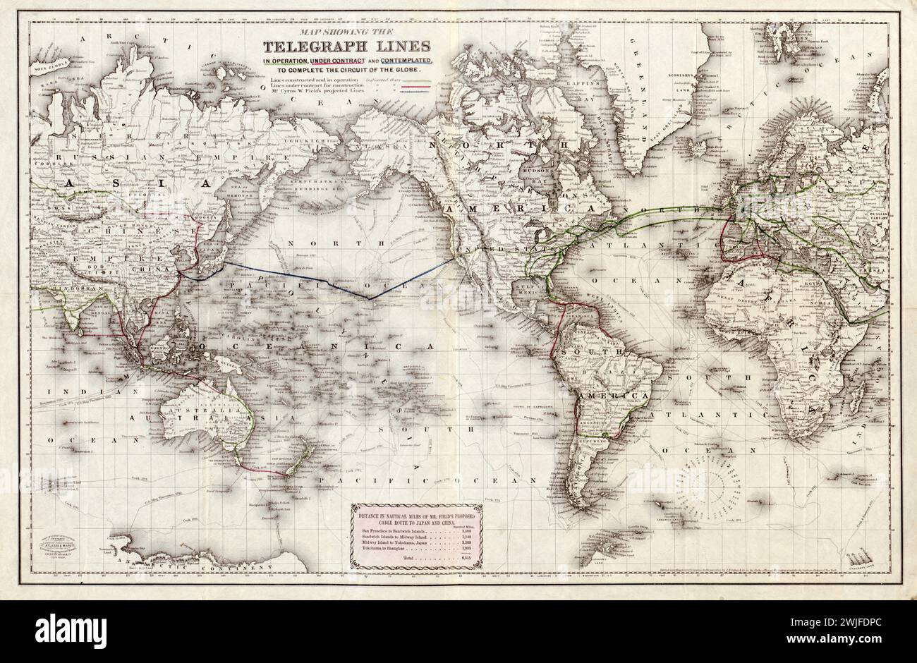 Vintage Colton Map. Title: World Map showing the telegraph lines in operation, under contract, and contemplated, to complete the circuit of the globe . 1871. Published by J.H. Colton Stock Photohttps://www.alamy.com/image-license-details/?v=1https://www.alamy.com/vintage-colton-map-title-world-map-showing-the-telegraph-lines-in-operation-under-contract-and-contemplated-to-complete-the-circuit-of-the-globe-1871-published-by-jh-colton-image596556420.html
RM2WJFDPC–Vintage Colton Map. Title: World Map showing the telegraph lines in operation, under contract, and contemplated, to complete the circuit of the globe . 1871. Published by J.H. Colton
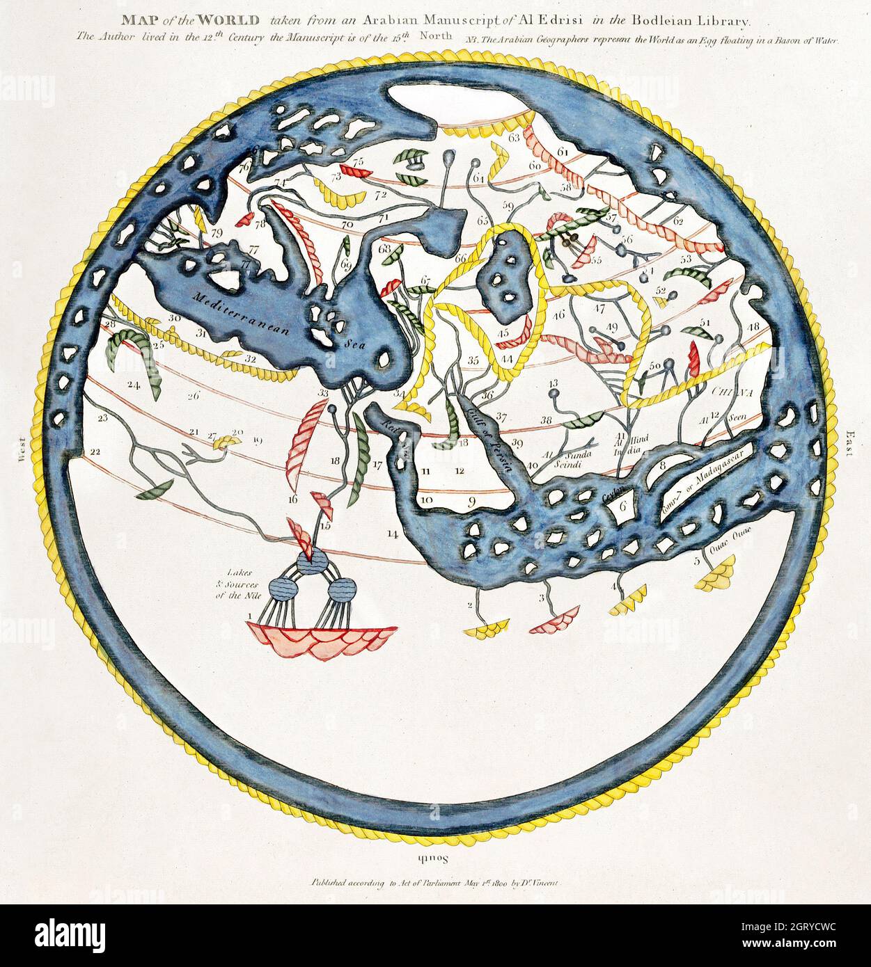 The Commerce and Navigation of the Ancients in the Indian Ocean (1807) by William Vincent. World map. Stock Photohttps://www.alamy.com/image-license-details/?v=1https://www.alamy.com/the-commerce-and-navigation-of-the-ancients-in-the-indian-ocean-1807-by-william-vincent-world-map-image444999112.html
RM2GRYCWC–The Commerce and Navigation of the Ancients in the Indian Ocean (1807) by William Vincent. World map.
 Vintage copper engraved map of Empire of Japan. All maps are beautifully colored and illustrated showing the world at the time. Stock Photohttps://www.alamy.com/image-license-details/?v=1https://www.alamy.com/vintage-copper-engraved-map-of-empire-of-japan-all-maps-are-beautifully-colored-and-illustrated-showing-the-world-at-the-time-image425692426.html
RF2FMFY0X–Vintage copper engraved map of Empire of Japan. All maps are beautifully colored and illustrated showing the world at the time.
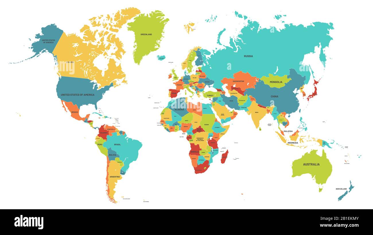 Colored world map. Political maps, colourful world countries and country names vector illustration Stock Vectorhttps://www.alamy.com/image-license-details/?v=1https://www.alamy.com/colored-world-map-political-maps-colourful-world-countries-and-country-names-vector-illustration-image345144827.html
RF2B1EKMY–Colored world map. Political maps, colourful world countries and country names vector illustration
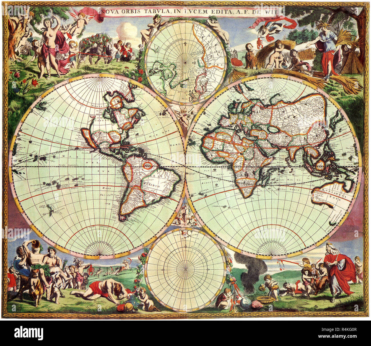 Old World Map 1675, de Wit, Frederick. Stock Photohttps://www.alamy.com/image-license-details/?v=1https://www.alamy.com/old-world-map-1675-de-wit-frederick-image226623063.html
RMR4KG0R–Old World Map 1675, de Wit, Frederick.
 Antique Vintage Maps of the World The Americas Henricus Hondius 17th 18th Stock Photohttps://www.alamy.com/image-license-details/?v=1https://www.alamy.com/antique-vintage-maps-of-the-world-the-americas-henricus-hondius-17th-18th-image443792285.html
RF2GP0DGD–Antique Vintage Maps of the World The Americas Henricus Hondius 17th 18th
 Old World Map, Antique World Map, Vintage World Map, Retro World Map, Old Map of World, Vintage Map of World, Retro Map of World, World Map, Old World Stock Photohttps://www.alamy.com/image-license-details/?v=1https://www.alamy.com/old-world-map-antique-world-map-vintage-world-map-retro-world-map-old-map-of-world-vintage-map-of-world-retro-map-of-world-world-map-old-world-image431755141.html
RF2G2C42D–Old World Map, Antique World Map, Vintage World Map, Retro World Map, Old Map of World, Vintage Map of World, Retro Map of World, World Map, Old World
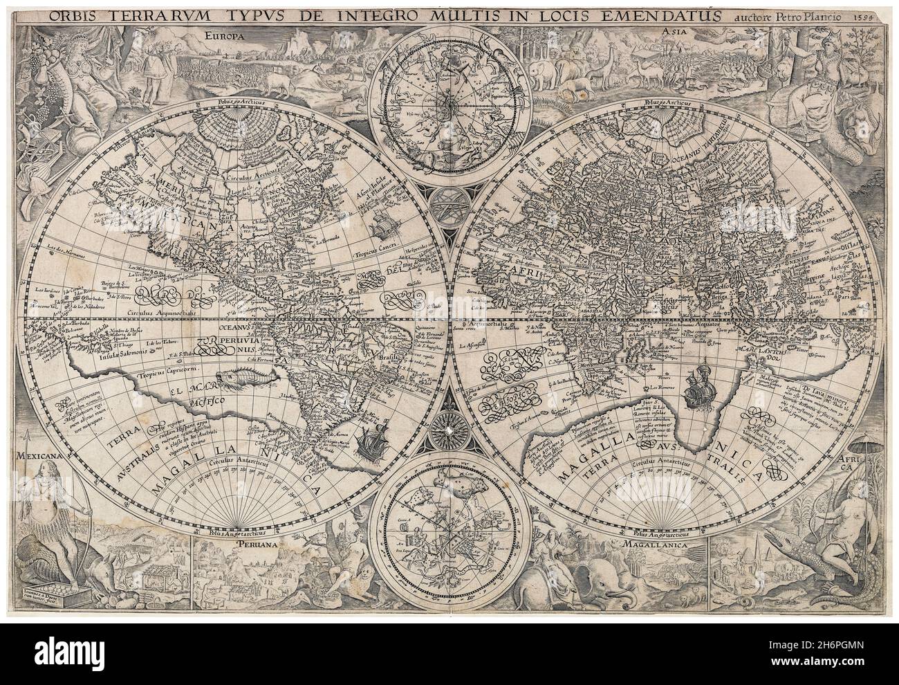 16th Century Dutch vintage World Map, cartography by Petrus Plancius, 1594 Stock Photohttps://www.alamy.com/image-license-details/?v=1https://www.alamy.com/16th-century-dutch-vintage-world-map-cartography-by-petrus-plancius-1594-image451653573.html
RM2H6PGMN–16th Century Dutch vintage World Map, cartography by Petrus Plancius, 1594
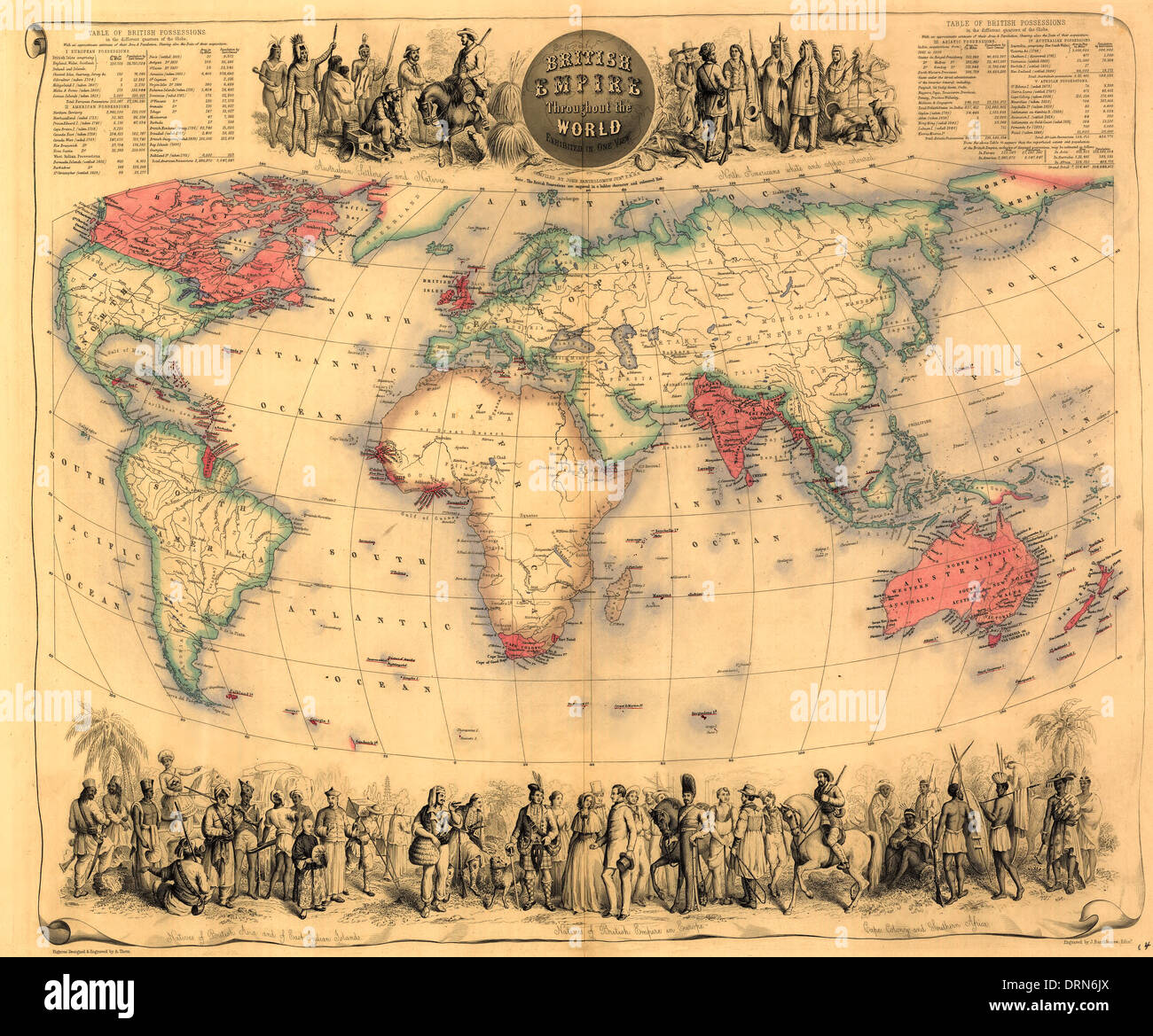 British Empire throughout the world exhibited in one view, circa 1850 Stock Photohttps://www.alamy.com/image-license-details/?v=1https://www.alamy.com/british-empire-throughout-the-world-exhibited-in-one-view-circa-1850-image66234418.html
RMDRN6JX–British Empire throughout the world exhibited in one view, circa 1850
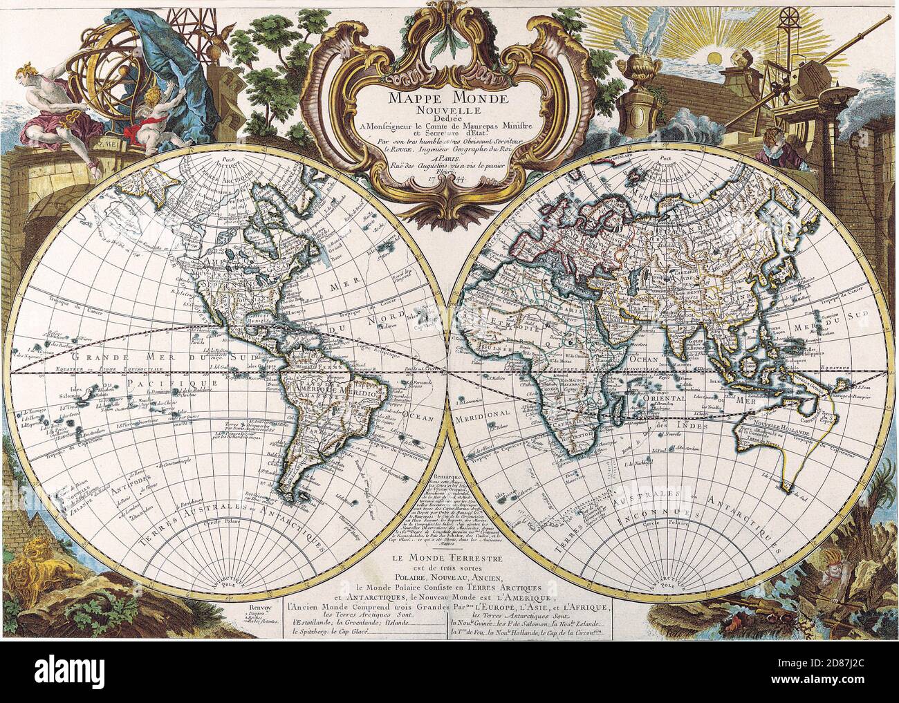 Illustrated old map of the World, vintage style full of details Stock Photohttps://www.alamy.com/image-license-details/?v=1https://www.alamy.com/illustrated-old-map-of-the-world-vintage-style-full-of-details-image383713188.html
RM2D87J2C–Illustrated old map of the World, vintage style full of details
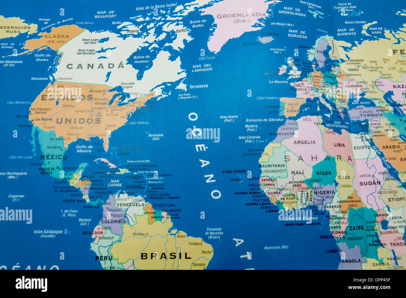 geographical map of america and europe Stock Photohttps://www.alamy.com/image-license-details/?v=1https://www.alamy.com/geographical-map-of-america-and-europe-image65639771.html
RFDPP45F–geographical map of america and europe
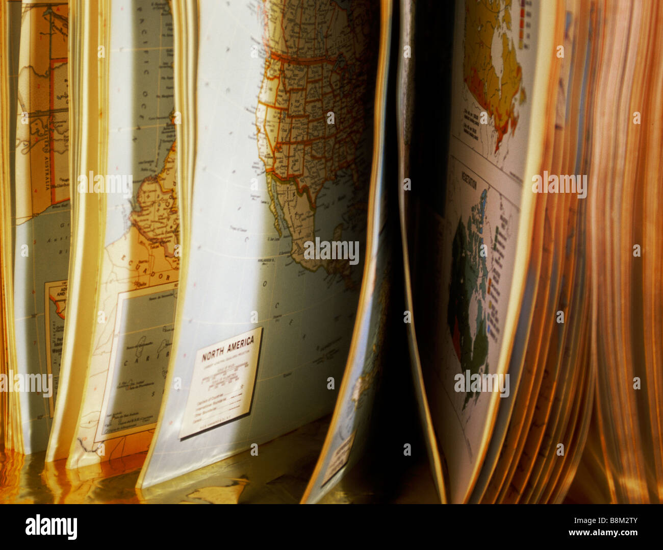 World Atlas, book of maps still life. Book open with pages with illustrations. Book propped up on table closeup. Nobody Stock Photohttps://www.alamy.com/image-license-details/?v=1https://www.alamy.com/stock-photo-world-atlas-book-of-maps-still-life-book-open-with-pages-with-illustrations-22568923.html
RMB8M2TY–World Atlas, book of maps still life. Book open with pages with illustrations. Book propped up on table closeup. Nobody
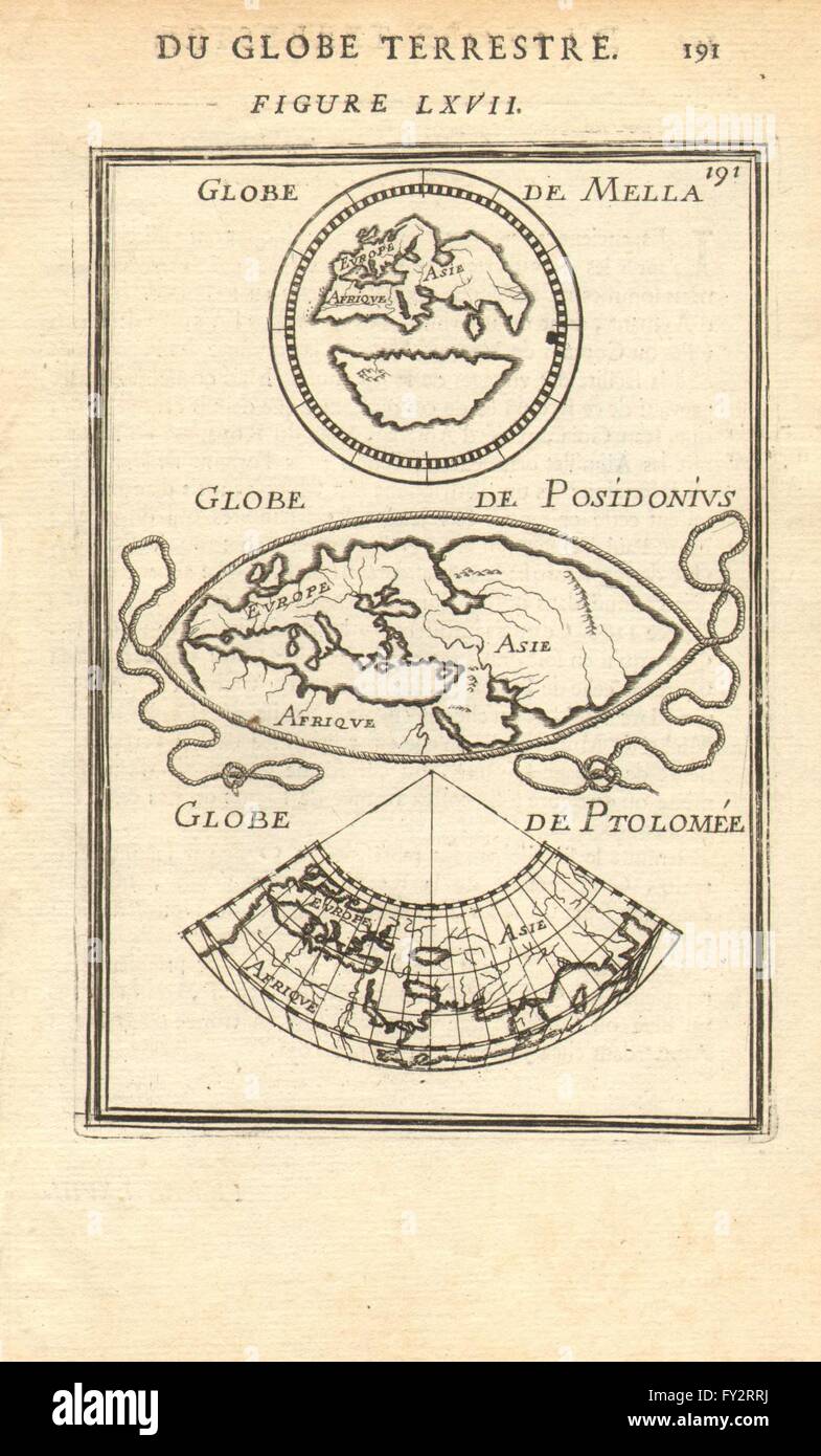 ANCIENT WORLD: Maps by Mela, Posidonius & Ptolemy. MALLET, 1683 Stock Photohttps://www.alamy.com/image-license-details/?v=1https://www.alamy.com/stock-photo-ancient-world-maps-by-mela-posidonius-ptolemy-mallet-1683-102710150.html
RFFY2RRJ–ANCIENT WORLD: Maps by Mela, Posidonius & Ptolemy. MALLET, 1683
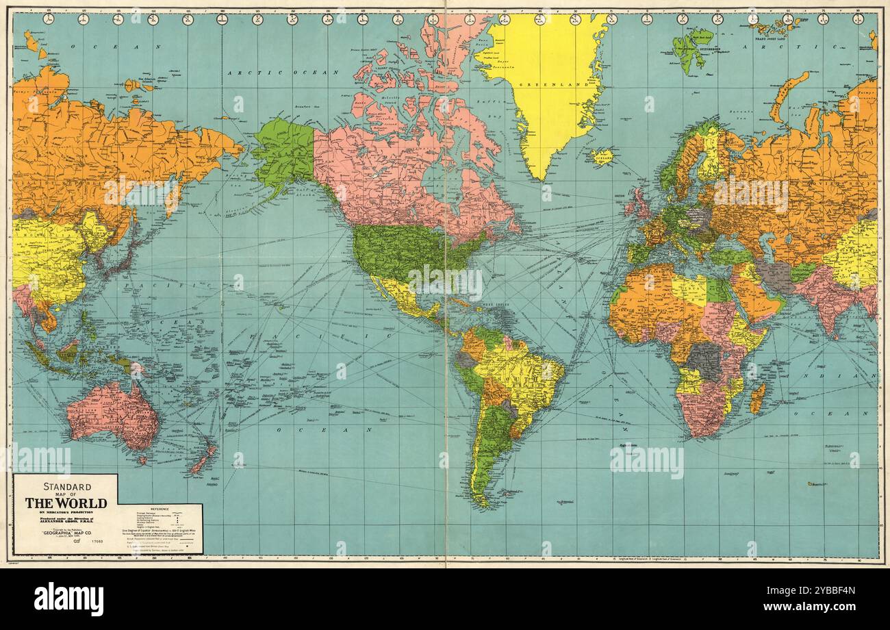 Vintage Detailed Digital World Map Printable Download Travel Poster Stock Photohttps://www.alamy.com/image-license-details/?v=1https://www.alamy.com/vintage-detailed-digital-world-map-printable-download-travel-poster-image626587829.html
RF2YBBF4N–Vintage Detailed Digital World Map Printable Download Travel Poster
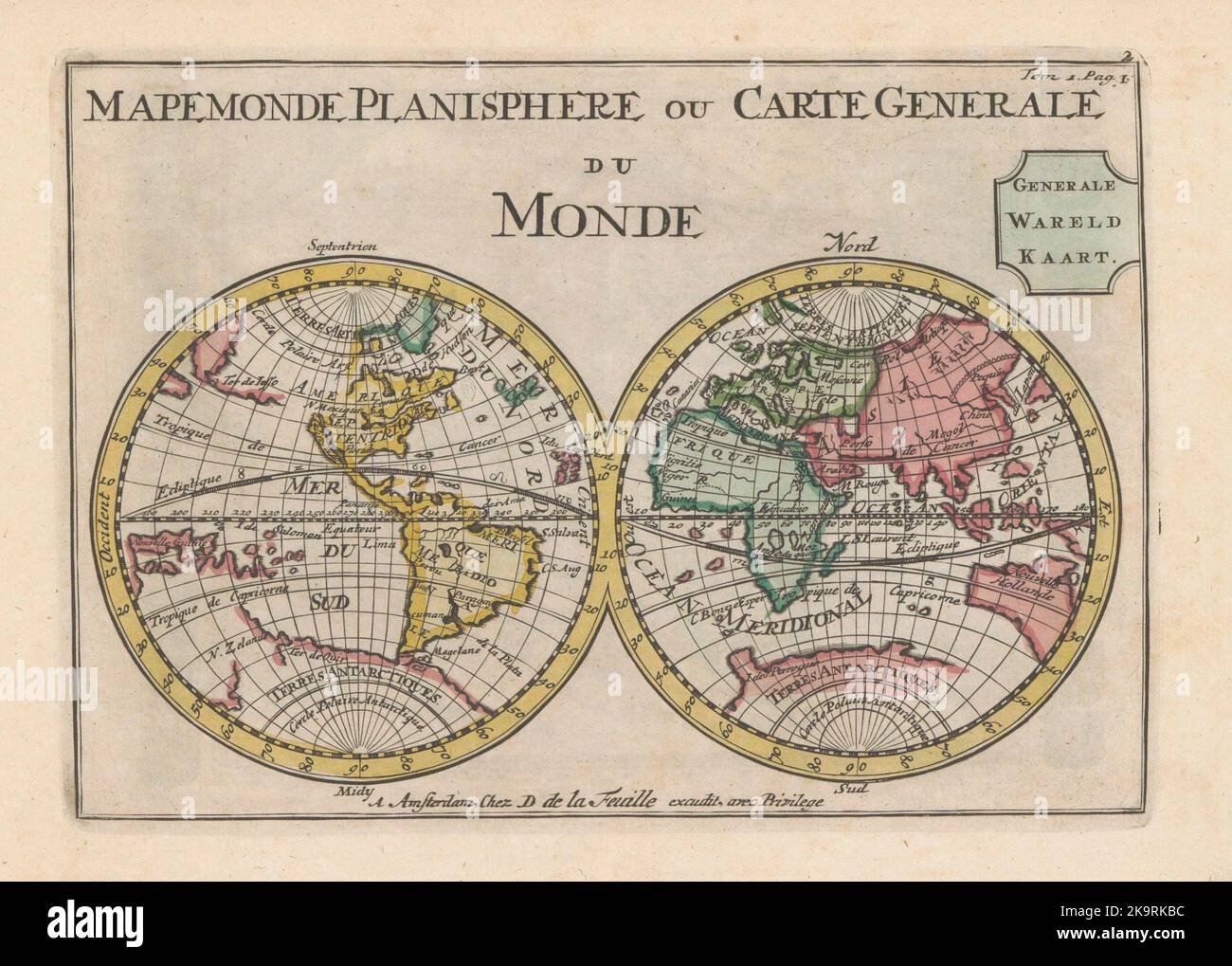 Vintage world map using two hemispheres c.1735 Stock Photohttps://www.alamy.com/image-license-details/?v=1https://www.alamy.com/vintage-world-map-using-two-hemispheres-c1735-image487942320.html
RF2K9RKBC–Vintage world map using two hemispheres c.1735
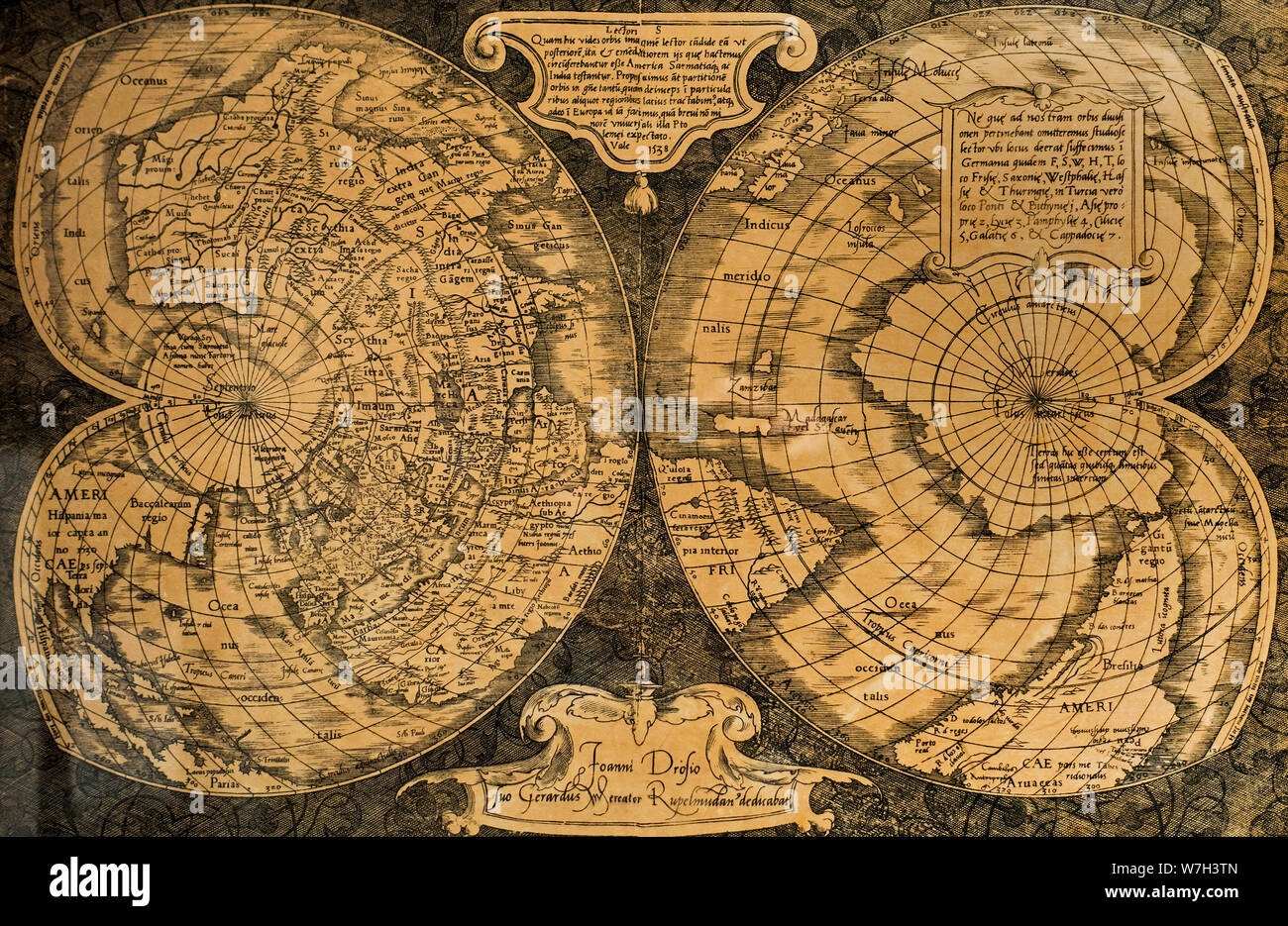 1538 double-heart-shaped projection world map, cordiform map projection by Flemish cartographer Gerardus Mercator Stock Photohttps://www.alamy.com/image-license-details/?v=1https://www.alamy.com/1538-double-heart-shaped-projection-world-map-cordiform-map-projection-by-flemish-cartographer-gerardus-mercator-image262834341.html
RMW7H3TN–1538 double-heart-shaped projection world map, cordiform map projection by Flemish cartographer Gerardus Mercator
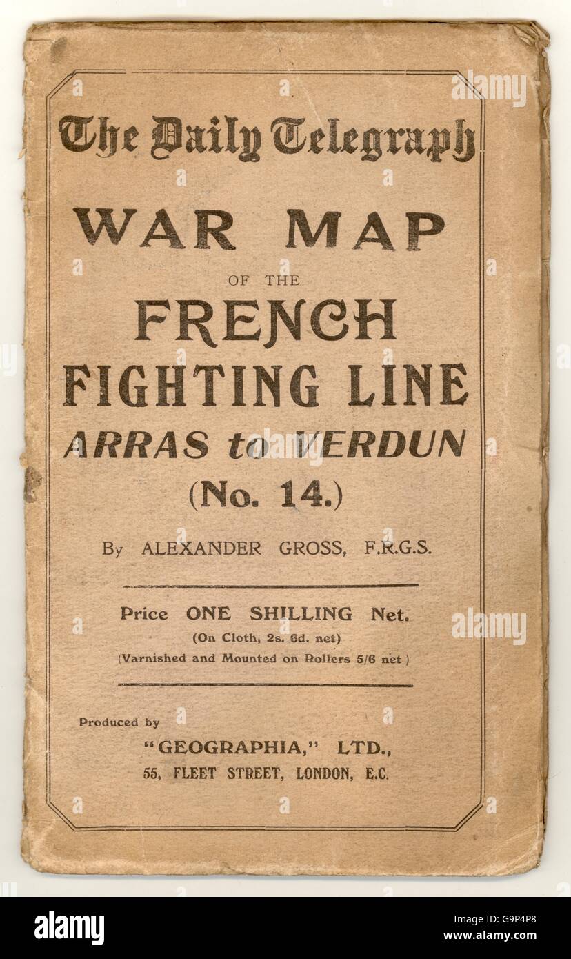 (WWi) World War 1 War Map of the French Fighting Line - Arras to Verdun. The Western Front. Published by the Daily Telegraph. circa. 1916 Stock Photohttps://www.alamy.com/image-license-details/?v=1https://www.alamy.com/stock-photo-wwi-world-war-1-war-map-of-the-french-fighting-line-arras-to-verdun-109280816.html
RMG9P4P8–(WWi) World War 1 War Map of the French Fighting Line - Arras to Verdun. The Western Front. Published by the Daily Telegraph. circa. 1916
 New Zealand officers study maps during a training exercise, World Stock Photohttps://www.alamy.com/image-license-details/?v=1https://www.alamy.com/stock-photo-new-zealand-officers-study-maps-during-a-training-exercise-world-89976540.html
RMF6ANYT–New Zealand officers study maps during a training exercise, World
 The world's largest city. In 1944, the Swedish town of Kiruna was planned to be reorganized from a rural municipality to a city. Plans that at this time are a few years ahead in time, but which according to Kiruna's municipal board chairman Hjalmar Nyström are firm. Kiruna is planned to become the world's largest city with an area of 14,000 square kilometers. An area that is 18 times as large as New York's and eight times as large as London's. The two world metropolises, which at the time had approximately ten million inhabitants each. Kiruna has around 18,500. The entire north-western Lapland Stock Photohttps://www.alamy.com/image-license-details/?v=1https://www.alamy.com/the-worlds-largest-city-in-1944-the-swedish-town-of-kiruna-was-planned-to-be-reorganized-from-a-rural-municipality-to-a-city-plans-that-at-this-time-are-a-few-years-ahead-in-time-but-which-according-to-kirunas-municipal-board-chairman-hjalmar-nystrm-are-firm-kiruna-is-planned-to-become-the-worlds-largest-city-with-an-area-of-14000-square-kilometers-an-area-that-is-18-times-as-large-as-new-yorks-and-eight-times-as-large-as-londons-the-two-world-metropolises-which-at-the-time-had-approximately-ten-million-inhabitants-each-kiruna-has-around-18500-the-entire-north-western-lapland-image593846977.html
RM2WE41TH–The world's largest city. In 1944, the Swedish town of Kiruna was planned to be reorganized from a rural municipality to a city. Plans that at this time are a few years ahead in time, but which according to Kiruna's municipal board chairman Hjalmar Nyström are firm. Kiruna is planned to become the world's largest city with an area of 14,000 square kilometers. An area that is 18 times as large as New York's and eight times as large as London's. The two world metropolises, which at the time had approximately ten million inhabitants each. Kiruna has around 18,500. The entire north-western Lapland
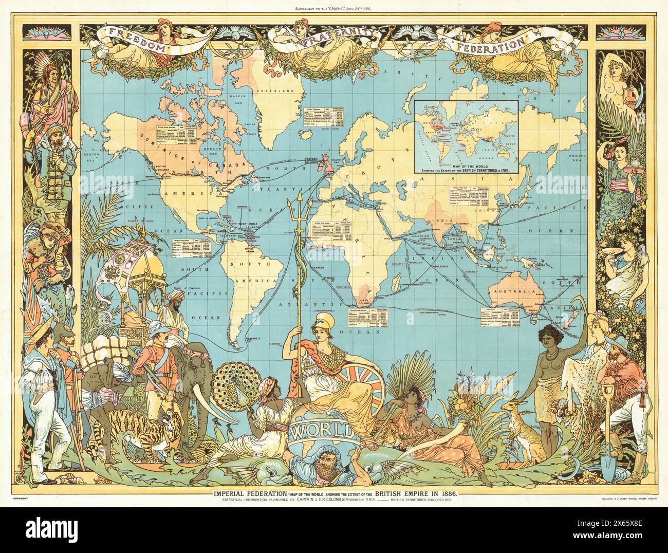 Vintage World Pictorial Map of the Colonial British Empire in 1886 by Walter Crane, 19th Century Stock Photohttps://www.alamy.com/image-license-details/?v=1https://www.alamy.com/vintage-world-pictorial-map-of-the-colonial-british-empire-in-1886-by-walter-crane-19th-century-image606181198.html
RM2X65X8E–Vintage World Pictorial Map of the Colonial British Empire in 1886 by Walter Crane, 19th Century
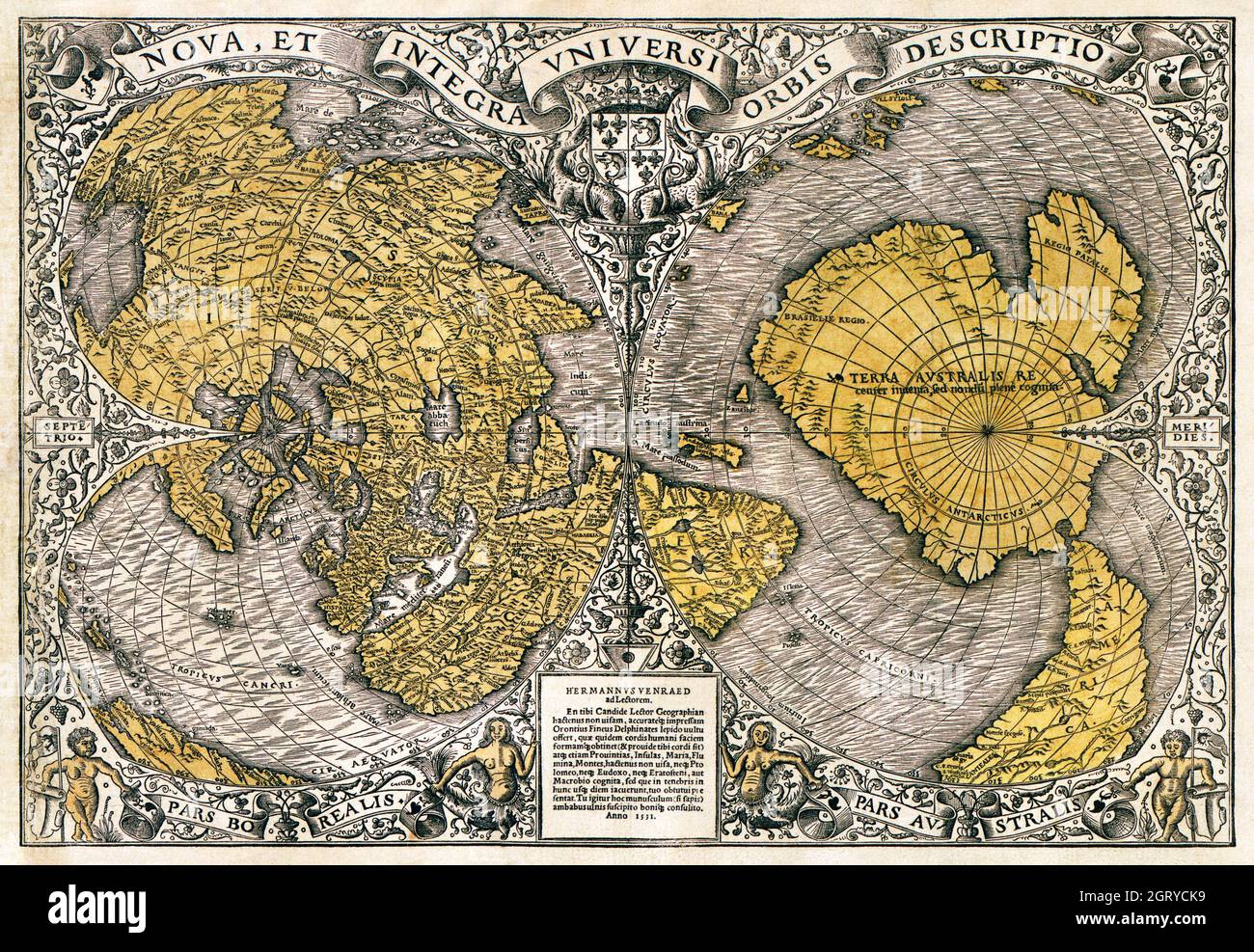 Noua, et integra uniuersi orbis descriptio (1531) by Oronce Finé. World map. Stock Photohttps://www.alamy.com/image-license-details/?v=1https://www.alamy.com/noua-et-integra-uniuersi-orbis-descriptio-1531-by-oronce-fin-world-map-image444998941.html
RM2GRYCK9–Noua, et integra uniuersi orbis descriptio (1531) by Oronce Finé. World map.
 Vintage copper engraved map of Empire of Japan. All maps are beautifully colored and illustrated showing the world at the time. Stock Photohttps://www.alamy.com/image-license-details/?v=1https://www.alamy.com/vintage-copper-engraved-map-of-empire-of-japan-all-maps-are-beautifully-colored-and-illustrated-showing-the-world-at-the-time-image425692430.html
RF2FMFY12–Vintage copper engraved map of Empire of Japan. All maps are beautifully colored and illustrated showing the world at the time.
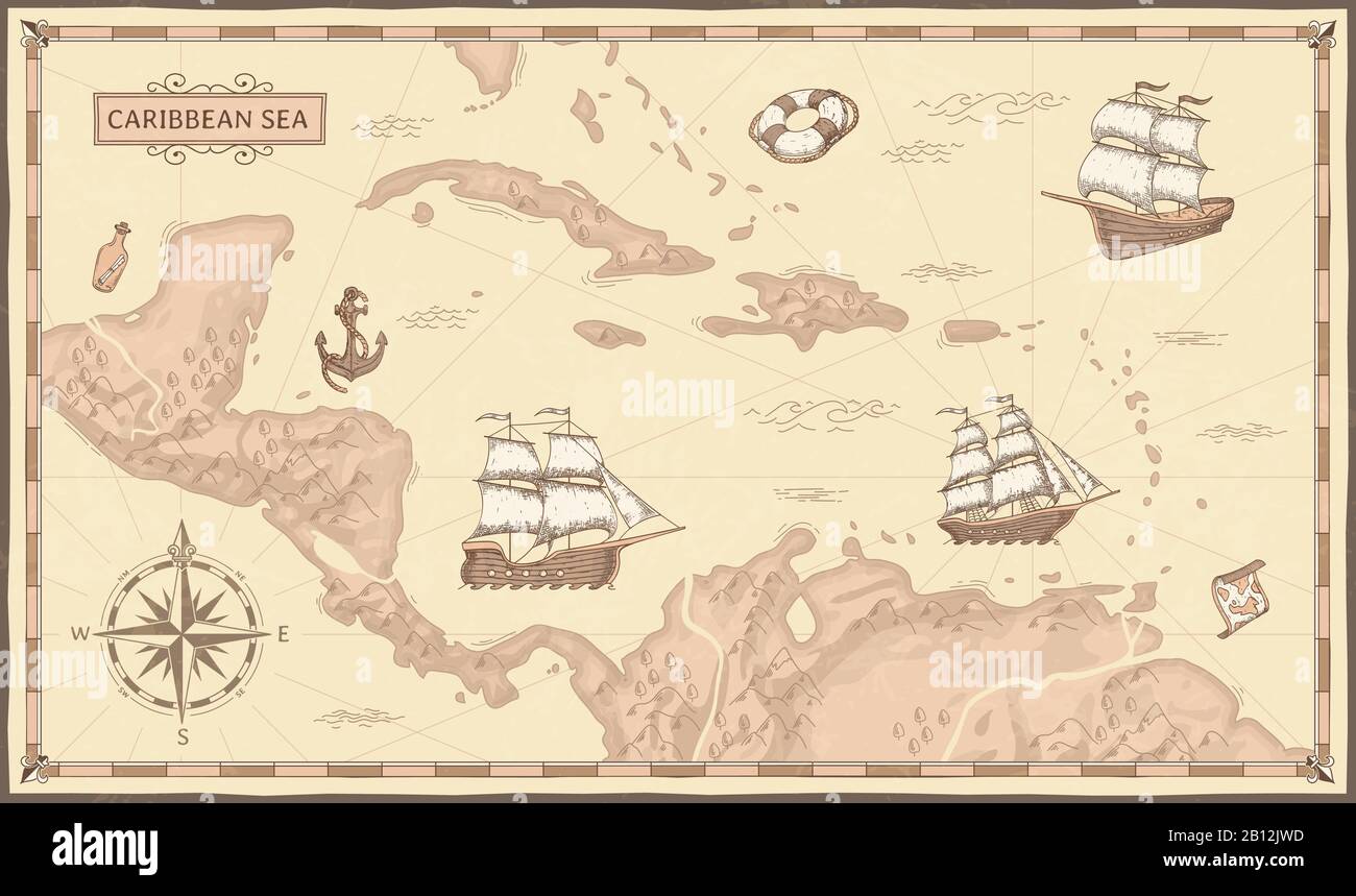 Old caribbean sea map. Ancient pirate routes, fantasy sea pirates ships and vintage pirate maps vector concept illustration Stock Vectorhttps://www.alamy.com/image-license-details/?v=1https://www.alamy.com/old-caribbean-sea-map-ancient-pirate-routes-fantasy-sea-pirates-ships-and-vintage-pirate-maps-vector-concept-illustration-image344880745.html
RF2B12JWD–Old caribbean sea map. Ancient pirate routes, fantasy sea pirates ships and vintage pirate maps vector concept illustration
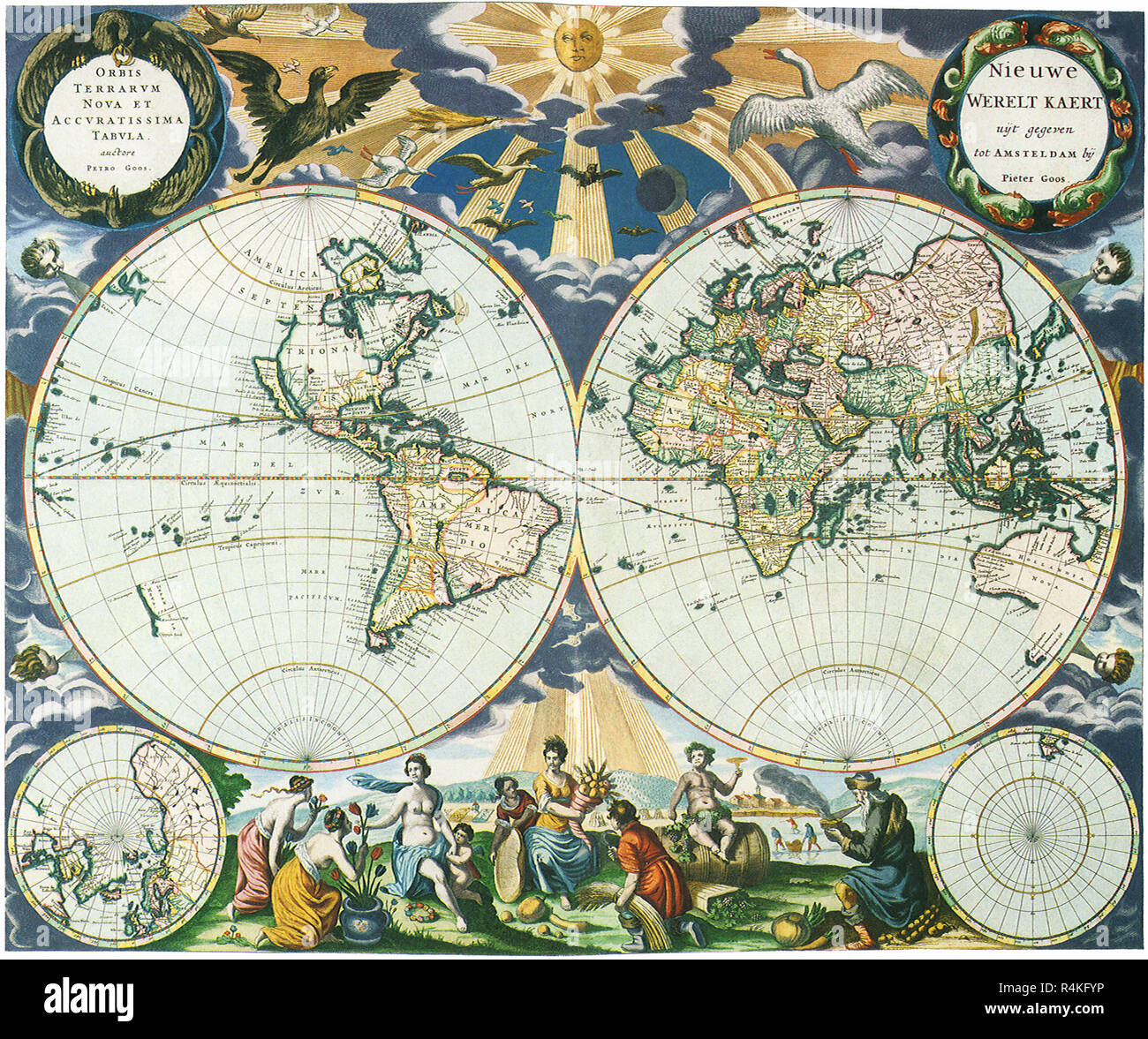 Old World Map 1666, Goos, Pieter. Stock Photohttps://www.alamy.com/image-license-details/?v=1https://www.alamy.com/old-world-map-1666-goos-pieter-image226623034.html
RMR4KFYP–Old World Map 1666, Goos, Pieter.
 Antique Vintage Maps of the World The Americas Homanns Heirs 17th 18th Stock Photohttps://www.alamy.com/image-license-details/?v=1https://www.alamy.com/antique-vintage-maps-of-the-world-the-americas-homanns-heirs-17th-18th-image443792544.html
RF2GP0DWM–Antique Vintage Maps of the World The Americas Homanns Heirs 17th 18th
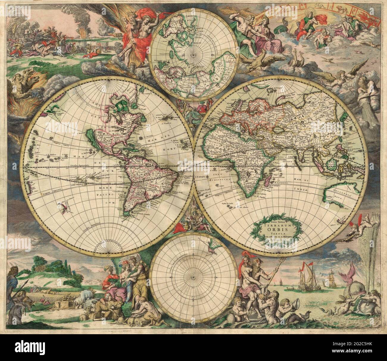 Old World Map, Antique World Map, Vintage World Map, Retro World Map, Old Map of World, Vintage Map of World, Retro Map of World, World Map, Old World Stock Photohttps://www.alamy.com/image-license-details/?v=1https://www.alamy.com/old-world-map-antique-world-map-vintage-world-map-retro-world-map-old-map-of-world-vintage-map-of-world-retro-map-of-world-world-map-old-world-image431756351.html
RF2G2C5HK–Old World Map, Antique World Map, Vintage World Map, Retro World Map, Old Map of World, Vintage Map of World, Retro Map of World, World Map, Old World
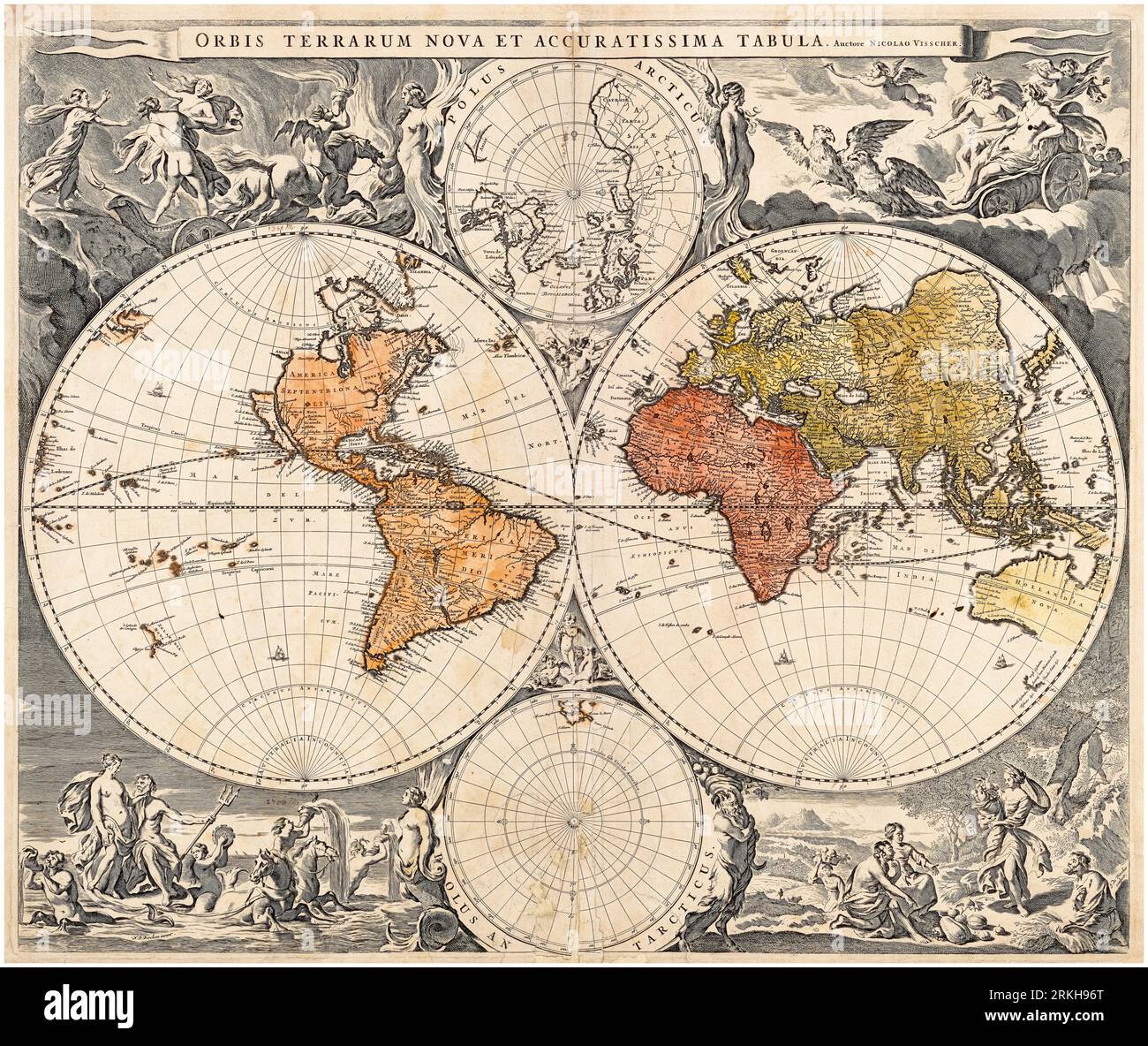 Vintage Dutch World Map, 17th Century print by Nicolaes Visscher, 1658 Stock Photohttps://www.alamy.com/image-license-details/?v=1https://www.alamy.com/vintage-dutch-world-map-17th-century-print-by-nicolaes-visscher-1658-image562790672.html
RM2RKH96T–Vintage Dutch World Map, 17th Century print by Nicolaes Visscher, 1658
 Anglo Saxon Britain. Anglo-Saxon map of the world in the 10th century. Victorian woodcut circa 1845. Stock Photohttps://www.alamy.com/image-license-details/?v=1https://www.alamy.com/anglo-saxon-britain-anglo-saxon-map-of-the-world-in-the-10th-century-image62191610.html
RMDH520X–Anglo Saxon Britain. Anglo-Saxon map of the world in the 10th century. Victorian woodcut circa 1845.
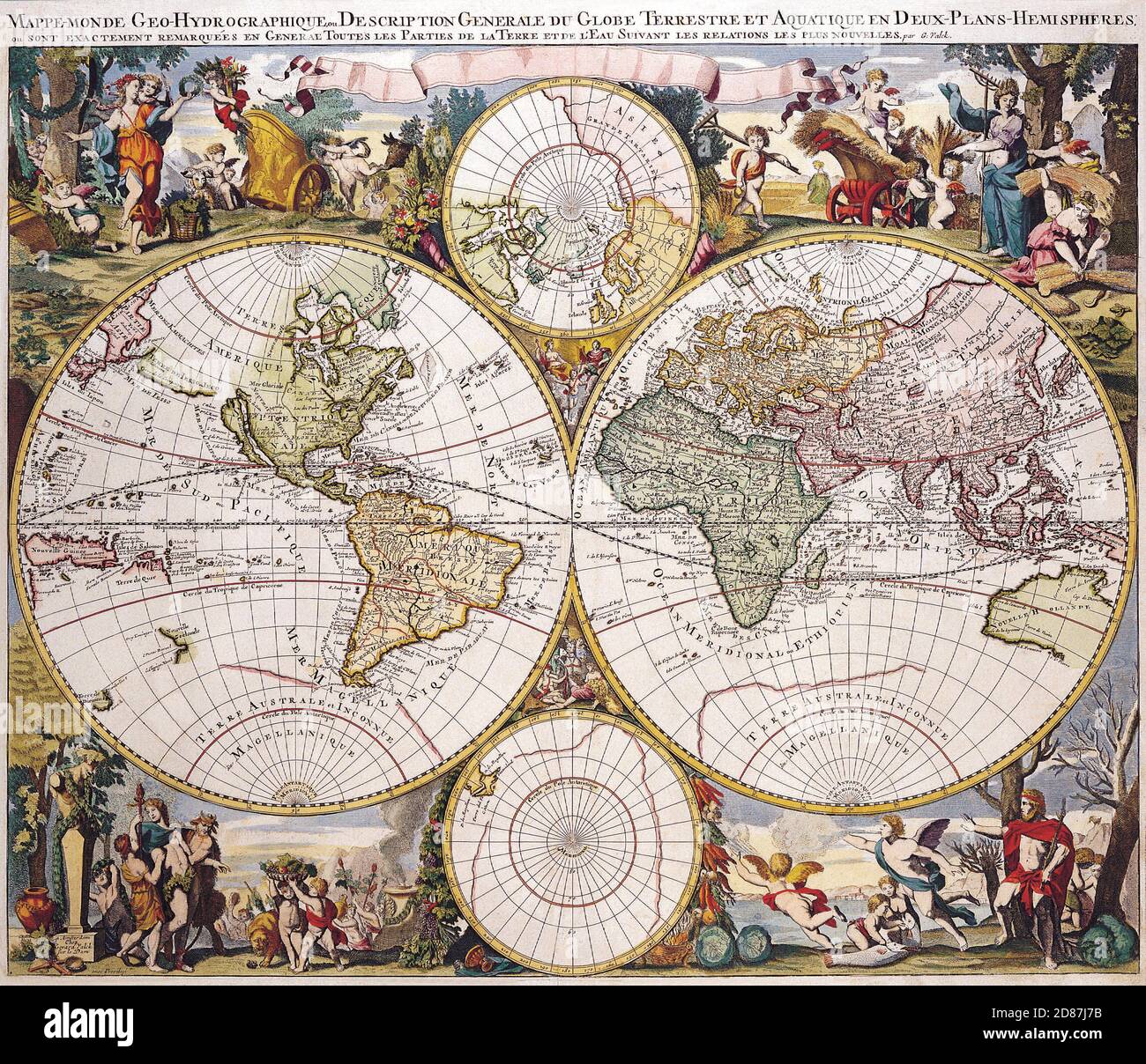 Illustrated old map of the World, vintage style full of details with hemispheres. Stock Photohttps://www.alamy.com/image-license-details/?v=1https://www.alamy.com/illustrated-old-map-of-the-world-vintage-style-full-of-details-with-hemispheres-image383713327.html
RM2D87J7B–Illustrated old map of the World, vintage style full of details with hemispheres.
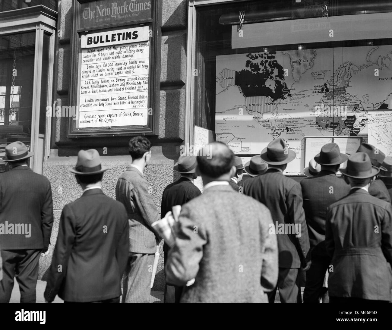 1940s CROWD AROUND THE WAR BULLETINS AT NEW YORK TIMES BUILDING STUDYING THE WORLD WAR II NEWS AND MAPS NYC USA - q41088 CPC001 HARS WORLD WAR 2 MID-ADULT MID-ADULT MAN YOUNG ADULT MAN B&W BLACK AND WHITE BULLETINS CAUCASIAN ETHNICITY NEW YORK TIMES OLD FASHIONED WORLD WAS II Stock Photohttps://www.alamy.com/image-license-details/?v=1https://www.alamy.com/stock-photo-1940s-crowd-around-the-war-bulletins-at-new-york-times-building-studying-175940729.html
RMM66P5D–1940s CROWD AROUND THE WAR BULLETINS AT NEW YORK TIMES BUILDING STUDYING THE WORLD WAR II NEWS AND MAPS NYC USA - q41088 CPC001 HARS WORLD WAR 2 MID-ADULT MID-ADULT MAN YOUNG ADULT MAN B&W BLACK AND WHITE BULLETINS CAUCASIAN ETHNICITY NEW YORK TIMES OLD FASHIONED WORLD WAS II
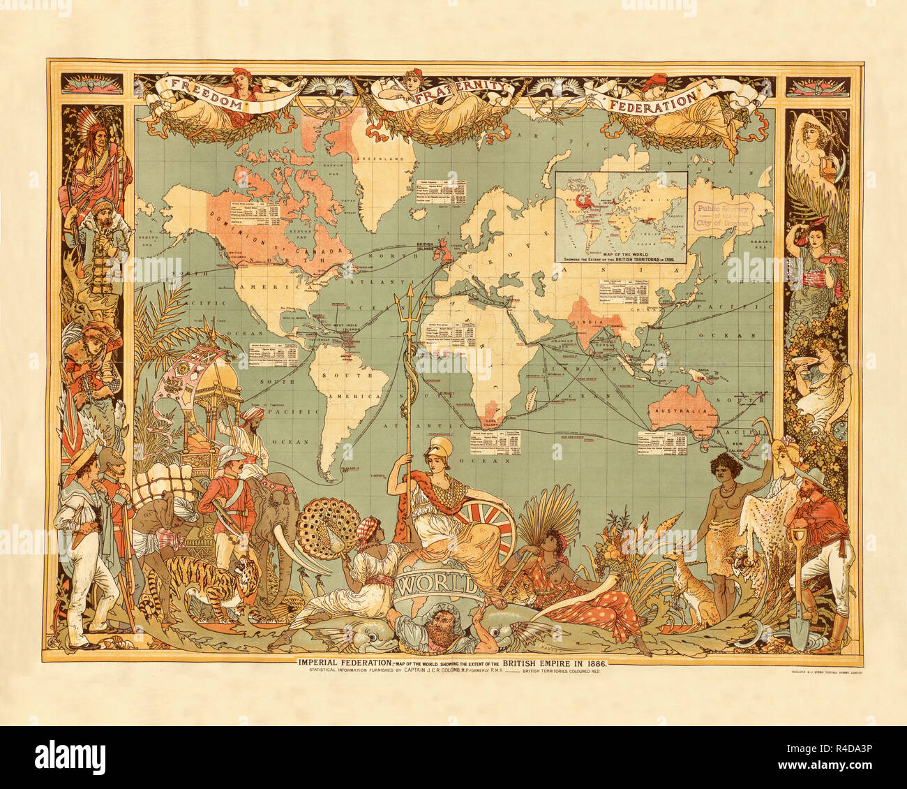 British Empire 1886d Stock Photohttps://www.alamy.com/image-license-details/?v=1https://www.alamy.com/british-empire-1886d-image226486730.html
RFR4DA3P–British Empire 1886d
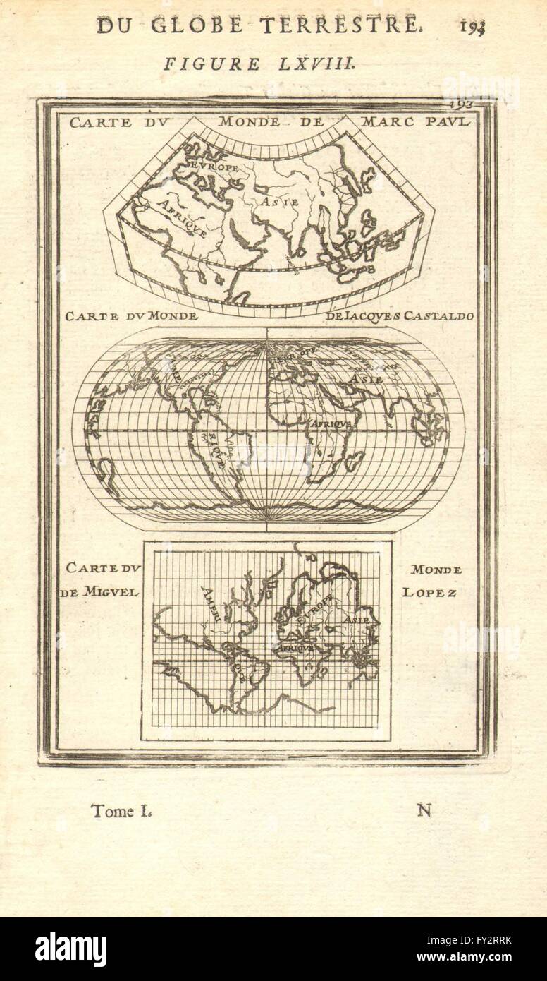 EARLY WORLD MAPS:Paul(Marco Polo)Castaldo(Gastaldi)Lopez(Lopes?).MALLET 1683 Stock Photohttps://www.alamy.com/image-license-details/?v=1https://www.alamy.com/stock-photo-early-world-mapspaulmarco-polocastaldogastaldilopezlopesmallet-1683-102710151.html
RFFY2RRK–EARLY WORLD MAPS:Paul(Marco Polo)Castaldo(Gastaldi)Lopez(Lopes?).MALLET 1683
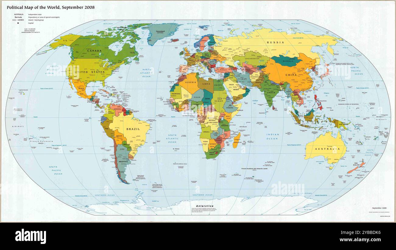 Vintage Detailed Digital World Map Printable Download Travel Poster Stock Photohttps://www.alamy.com/image-license-details/?v=1https://www.alamy.com/vintage-detailed-digital-world-map-printable-download-travel-poster-image626586666.html
RF2YBBDK6–Vintage Detailed Digital World Map Printable Download Travel Poster
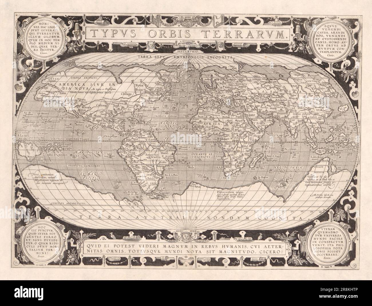 Vintage 16th century map of the world Typvs Orbis Terrarvm by Abraham Ortelius Stock Photohttps://www.alamy.com/image-license-details/?v=1https://www.alamy.com/vintage-16th-century-map-of-the-world-typvs-orbis-terrarvm-by-abraham-ortelius-image556080134.html
RM2R8KHTP–Vintage 16th century map of the world Typvs Orbis Terrarvm by Abraham Ortelius
 Vintage education color world map isolated on white Stock Photohttps://www.alamy.com/image-license-details/?v=1https://www.alamy.com/vintage-education-color-world-map-isolated-on-white-image623630528.html
RF2Y6GR2T–Vintage education color world map isolated on white
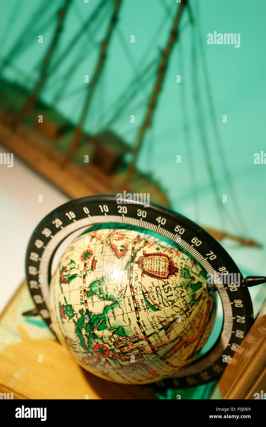 Vintage Globe Stock Photohttps://www.alamy.com/image-license-details/?v=1https://www.alamy.com/stock-photo-vintage-globe-86447153.html
RFF0J069–Vintage Globe
 World map of the British Empire coloured in red (1895) from the book 'The Castle Line atlas of South Africa' : a series of 16 plates, printed in colour, containing 30 maps and diagrams, with an account of the geographical features , the climate, the mineral and other resources, and the history of South Africa. And an index of over 6,000 names Stock Photohttps://www.alamy.com/image-license-details/?v=1https://www.alamy.com/world-map-of-the-british-empire-coloured-in-red-1895-from-the-book-the-castle-line-atlas-of-south-africa-a-series-of-16-plates-printed-in-colour-containing-30-maps-and-diagrams-with-an-account-of-the-geographical-features-the-climate-the-mineral-and-other-resources-and-the-history-of-south-africa-and-an-index-of-over-6000-names-image394462395.html
RF2DWN8PK–World map of the British Empire coloured in red (1895) from the book 'The Castle Line atlas of South Africa' : a series of 16 plates, printed in colour, containing 30 maps and diagrams, with an account of the geographical features , the climate, the mineral and other resources, and the history of South Africa. And an index of over 6,000 names
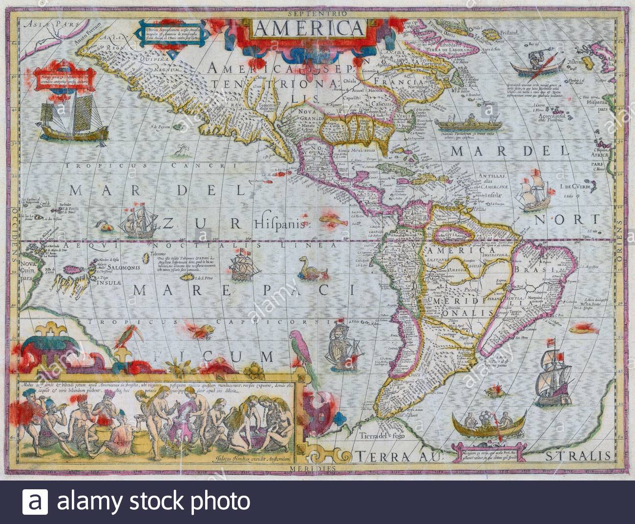 America, vintage map from 1635 Stock Photohttps://www.alamy.com/image-license-details/?v=1https://www.alamy.com/america-vintage-map-from-1635-image398089603.html
RM2E3JF9R–America, vintage map from 1635
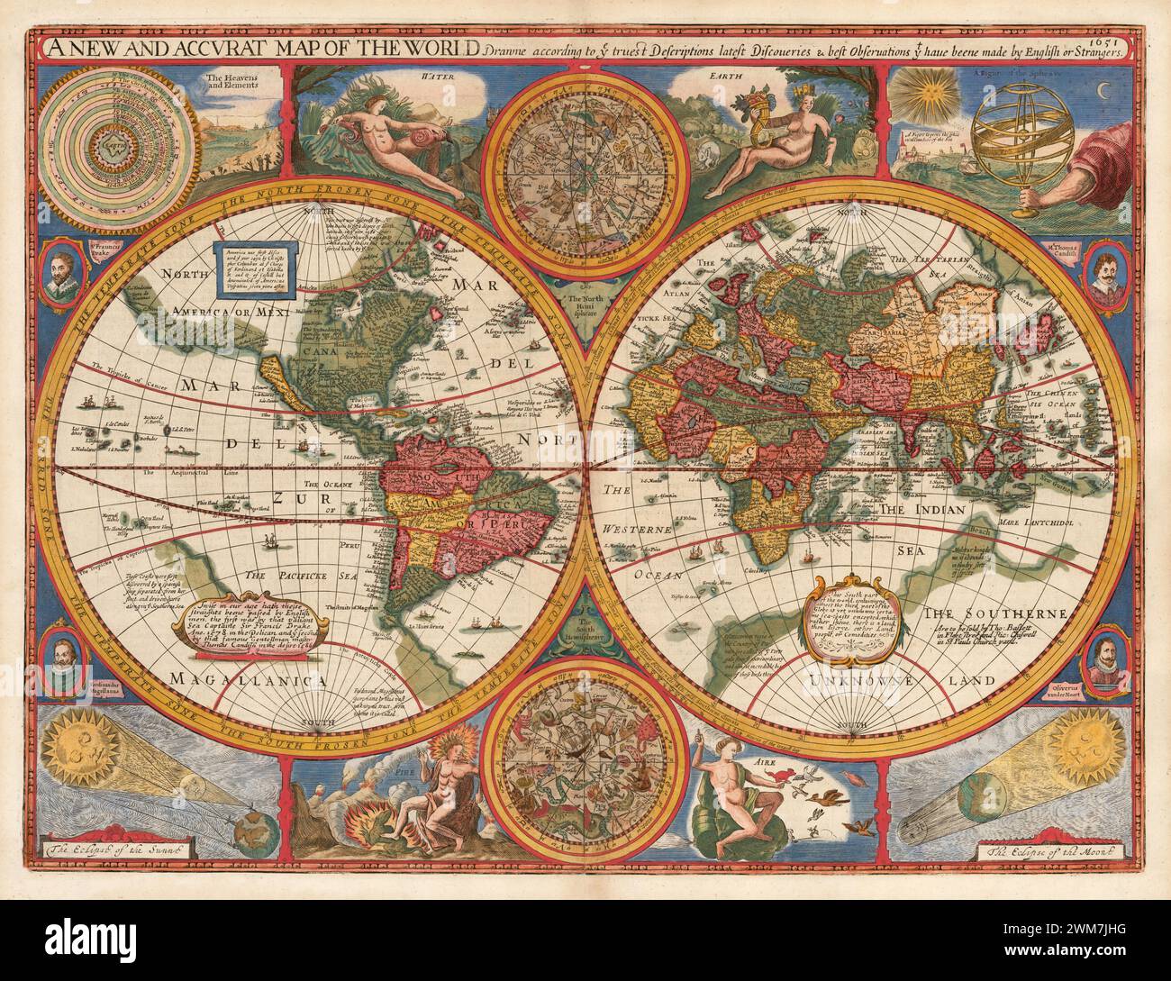 Vintage 17th century world illustrated map by John Speed.. 'A New and Accurat Map of the World Drawne according to ye truest Descriptions lastest Discoveries & best observations yt have beene made by English or Strangers.' John Speed, 1651. Stock Photohttps://www.alamy.com/image-license-details/?v=1https://www.alamy.com/vintage-17th-century-world-illustrated-map-by-john-speed-a-new-and-accurat-map-of-the-world-drawne-according-to-ye-truest-descriptions-lastest-discoveries-best-observations-yt-have-beene-made-by-english-or-strangers-john-speed-1651-image597613900.html
RM2WM7JHG–Vintage 17th century world illustrated map by John Speed.. 'A New and Accurat Map of the World Drawne according to ye truest Descriptions lastest Discoveries & best observations yt have beene made by English or Strangers.' John Speed, 1651.
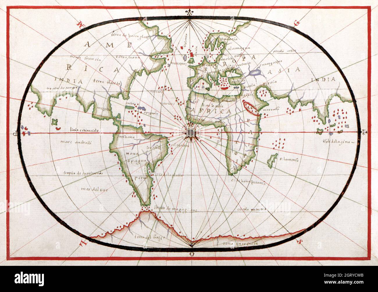 Portolan atlas of the Mediterranean Sea, western Europe, and the northwest coast of Africa: World map drawn on an oval projection (ca. 1590) World Map. Stock Photohttps://www.alamy.com/image-license-details/?v=1https://www.alamy.com/portolan-atlas-of-the-mediterranean-sea-western-europe-and-the-northwest-coast-of-africa-world-map-drawn-on-an-oval-projection-ca-1590-world-map-image444999111.html
RM2GRYCWB–Portolan atlas of the Mediterranean Sea, western Europe, and the northwest coast of Africa: World map drawn on an oval projection (ca. 1590) World Map.
 Vintage copper engraved map of - from 17th century. All maps are beautifully colored and illustrated showing the world at the time. Stock Photohttps://www.alamy.com/image-license-details/?v=1https://www.alamy.com/vintage-copper-engraved-map-of-from-17th-century-all-maps-are-beautifully-colored-and-illustrated-showing-the-world-at-the-time-image425757111.html
RF2FMJWF3–Vintage copper engraved map of - from 17th century. All maps are beautifully colored and illustrated showing the world at the time.
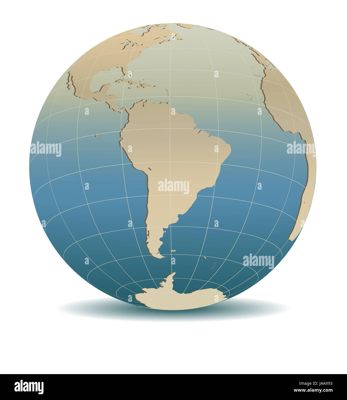 Retro Style South America Global World Stock Photohttps://www.alamy.com/image-license-details/?v=1https://www.alamy.com/stock-photo-retro-style-south-america-global-world-144069663.html
RFJAAX93–Retro Style South America Global World
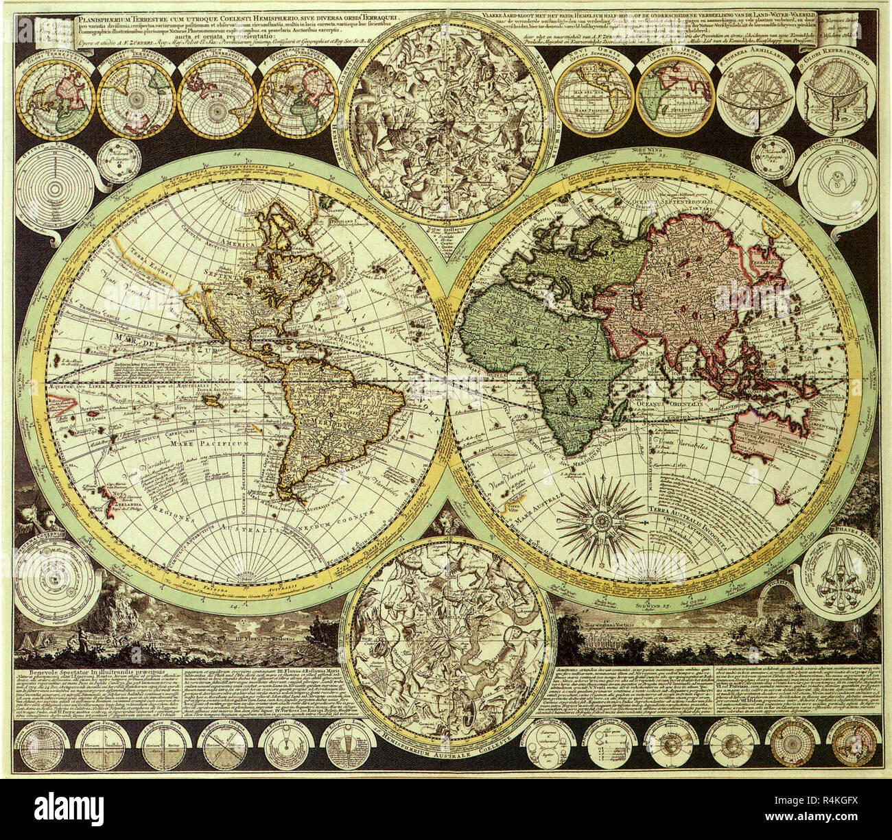 Map of the World 1700, Zumer, A.F. Stock Photohttps://www.alamy.com/image-license-details/?v=1https://www.alamy.com/map-of-the-world-1700-zumer-af-image226623486.html
RMR4KGFX–Map of the World 1700, Zumer, A.F.
 Antique Vintage Maps of the World The Americas Willem Blaeu 17th 18th Stock Photohttps://www.alamy.com/image-license-details/?v=1https://www.alamy.com/antique-vintage-maps-of-the-world-the-americas-willem-blaeu-17th-18th-image443792295.html
RF2GP0DGR–Antique Vintage Maps of the World The Americas Willem Blaeu 17th 18th
 Old World Map, Antique World Map, Vintage World Map, Retro World Map, Old Map of World, Vintage Map of World, Retro Map of World, World Map, Old World Stock Photohttps://www.alamy.com/image-license-details/?v=1https://www.alamy.com/old-world-map-antique-world-map-vintage-world-map-retro-world-map-old-map-of-world-vintage-map-of-world-retro-map-of-world-world-map-old-world-image431754409.html
RF2G2C349–Old World Map, Antique World Map, Vintage World Map, Retro World Map, Old Map of World, Vintage Map of World, Retro Map of World, World Map, Old World
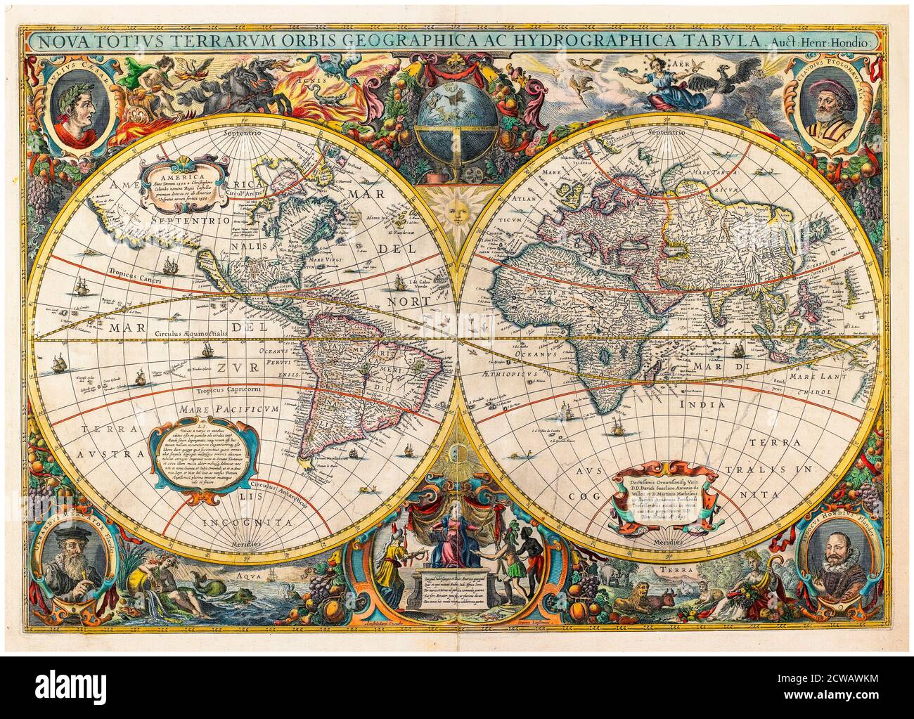 17th Century vintage old Map of the World by Hendrik Hondius and Jan Jansson, Dutch, produced in 1641 Stock Photohttps://www.alamy.com/image-license-details/?v=1https://www.alamy.com/17th-century-vintage-old-map-of-the-world-by-hendrik-hondius-and-jan-jansson-dutch-produced-in-1641-image377023800.html
RM2CWAWKM–17th Century vintage old Map of the World by Hendrik Hondius and Jan Jansson, Dutch, produced in 1641
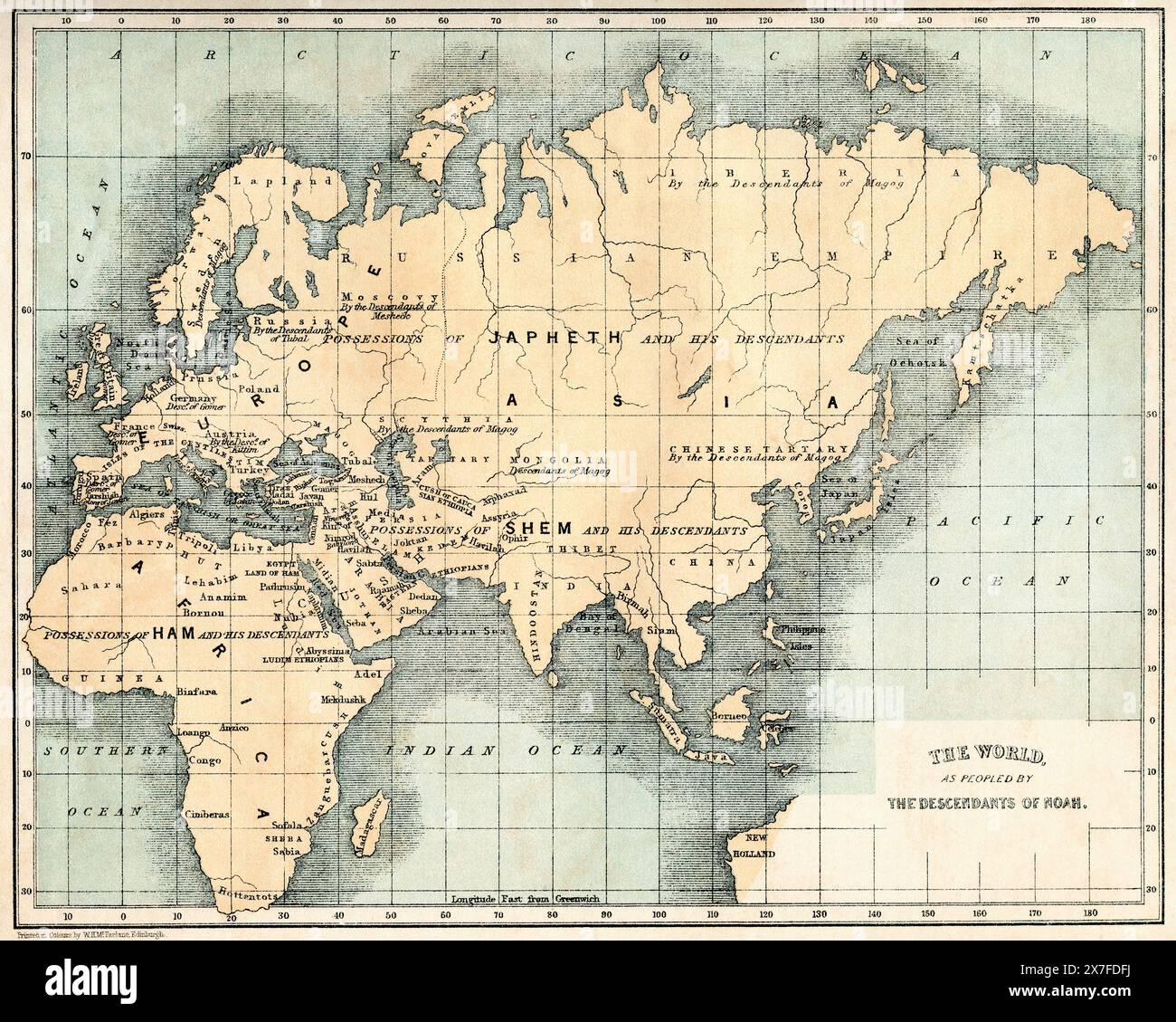 19th century map showing The World as peopled by The Descendants of Noah. Stock Photohttps://www.alamy.com/image-license-details/?v=1https://www.alamy.com/19th-century-map-showing-the-world-as-peopled-by-the-descendants-of-noah-image607005382.html
RM2X7FDFJ–19th century map showing The World as peopled by The Descendants of Noah.
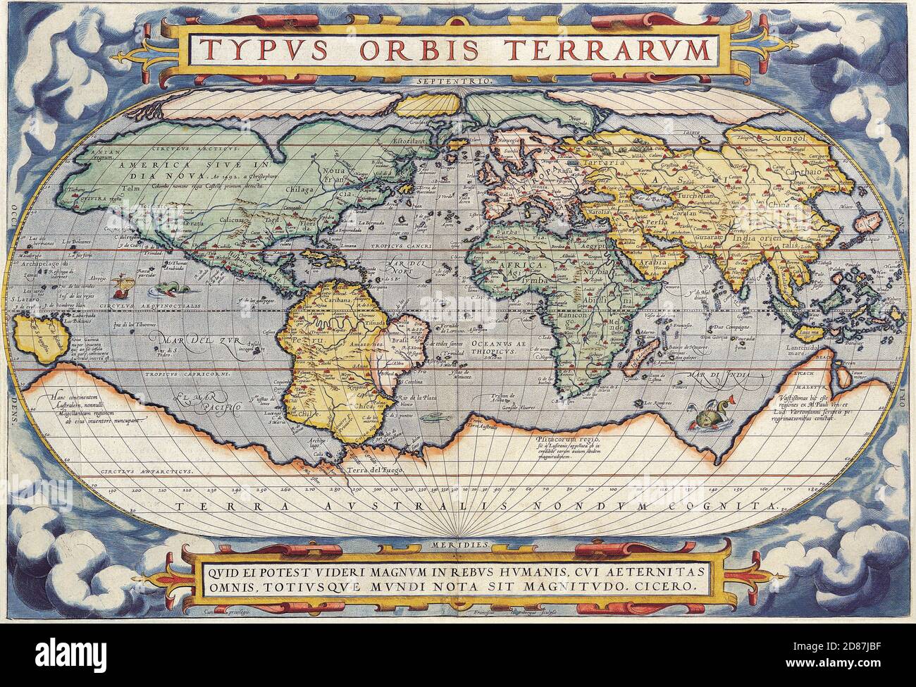 Type Orbis Terrarum (16th century). Illustrated old map of the World, vintage style full of details. Stock Photohttps://www.alamy.com/image-license-details/?v=1https://www.alamy.com/type-orbis-terrarum-16th-century-illustrated-old-map-of-the-world-vintage-style-full-of-details-image383713443.html
RM2D87JBF–Type Orbis Terrarum (16th century). Illustrated old map of the World, vintage style full of details.
 1960s BABY BOY SITTING BY WORLD GLOBE WITH SUITCASE AND TRAVEL PARAPHERNALIA LOOKING AT CAMERA Stock Photohttps://www.alamy.com/image-license-details/?v=1https://www.alamy.com/stock-photo-1960s-baby-boy-sitting-by-world-globe-with-suitcase-and-travel-paraphernalia-47228204.html
RMCMRC1G–1960s BABY BOY SITTING BY WORLD GLOBE WITH SUITCASE AND TRAVEL PARAPHERNALIA LOOKING AT CAMERA