Quick filters:
Virginia state map Stock Photos and Images
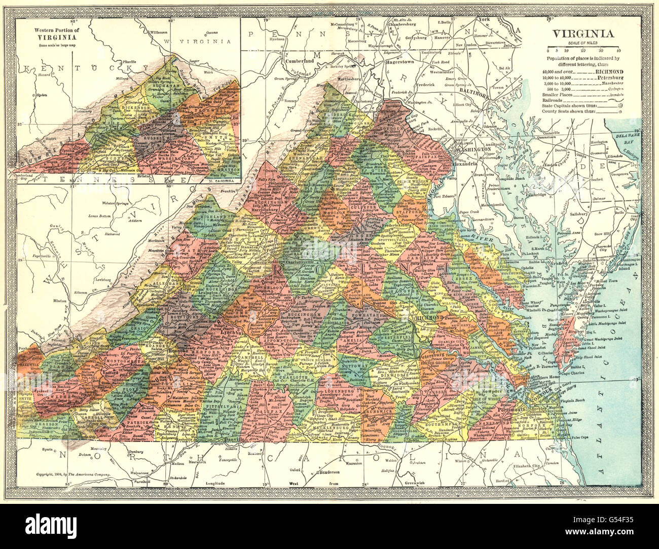 VIRGINIA state map. Counties, 1907 Stock Photohttps://www.alamy.com/image-license-details/?v=1https://www.alamy.com/stock-photo-virginia-state-map-counties-1907-106435145.html
RFG54F35–VIRGINIA state map. Counties, 1907
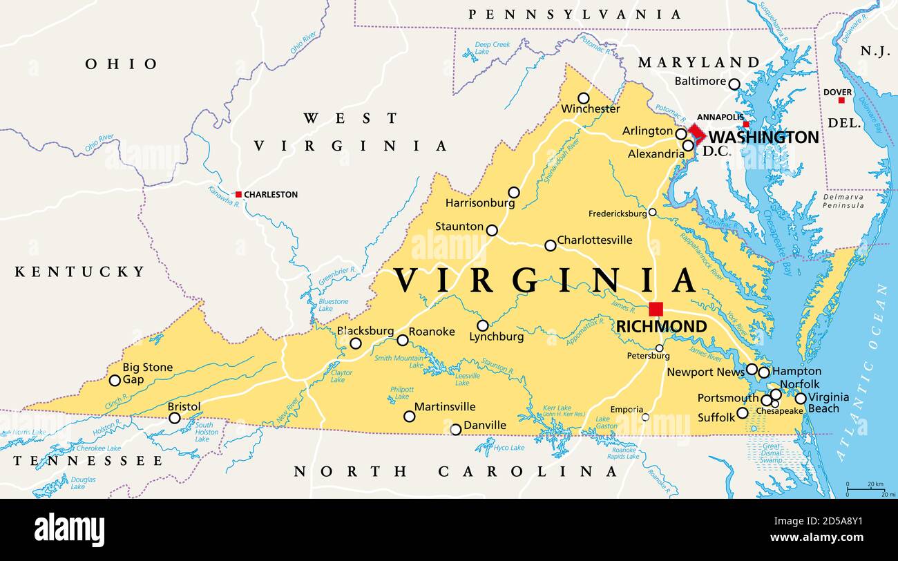 Virginia, VA, political map. Commonwealth of Virginia. State in Southeastern and Mid-Atlantic region of the United States. Capital Richmond. Stock Photohttps://www.alamy.com/image-license-details/?v=1https://www.alamy.com/virginia-va-political-map-commonwealth-of-virginia-state-in-southeastern-and-mid-atlantic-region-of-the-united-states-capital-richmond-image381927925.html
RF2D5A8Y1–Virginia, VA, political map. Commonwealth of Virginia. State in Southeastern and Mid-Atlantic region of the United States. Capital Richmond.
 Virginia simple logo. State map outline - smooth simplified US state shape map vector. Stock Vectorhttps://www.alamy.com/image-license-details/?v=1https://www.alamy.com/virginia-simple-logo-state-map-outline-smooth-simplified-us-state-shape-map-vector-image235949901.html
RFRKTCE5–Virginia simple logo. State map outline - smooth simplified US state shape map vector.
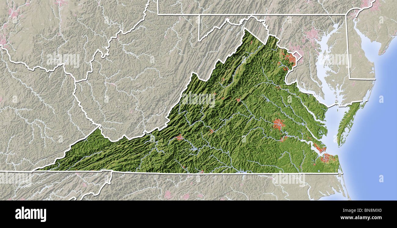 Virginia, shaded relief map. Stock Photohttps://www.alamy.com/image-license-details/?v=1https://www.alamy.com/stock-photo-virginia-shaded-relief-map-30310168.html
RFBN8MX0–Virginia, shaded relief map.
RF2T59YDG–West Virginia state map silhouette icon
 Outline map of the state of Virginia over white Stock Photohttps://www.alamy.com/image-license-details/?v=1https://www.alamy.com/outline-map-of-the-state-of-virginia-over-white-image224083021.html
RFR0FT51–Outline map of the state of Virginia over white
 Virginia state map with waving flag. Alpha channel background. Stock Photohttps://www.alamy.com/image-license-details/?v=1https://www.alamy.com/virginia-state-map-with-waving-flag-alpha-channel-background-image484767503.html
RF2K4K1W3–Virginia state map with waving flag. Alpha channel background.
 Virginia State Map and Flag Stock Vectorhttps://www.alamy.com/image-license-details/?v=1https://www.alamy.com/stock-photo-virginia-state-map-and-flag-81458638.html
RFEMEN92–Virginia State Map and Flag
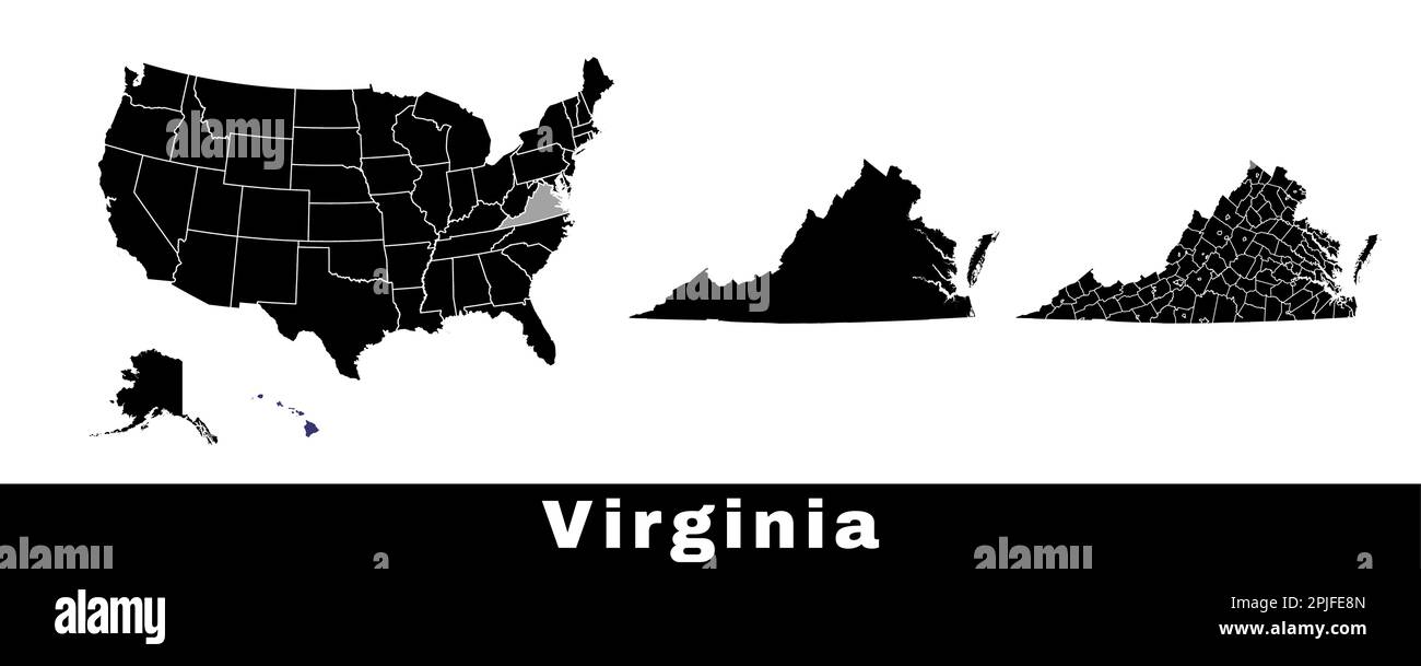 Virginia state map, USA. Set of Virginia maps with outline border, counties and US states map. Black and white color vector illustration. Stock Vectorhttps://www.alamy.com/image-license-details/?v=1https://www.alamy.com/virginia-state-map-usa-set-of-virginia-maps-with-outline-border-counties-and-us-states-map-black-and-white-color-vector-illustration-image544925717.html
RF2PJFE8N–Virginia state map, USA. Set of Virginia maps with outline border, counties and US states map. Black and white color vector illustration.
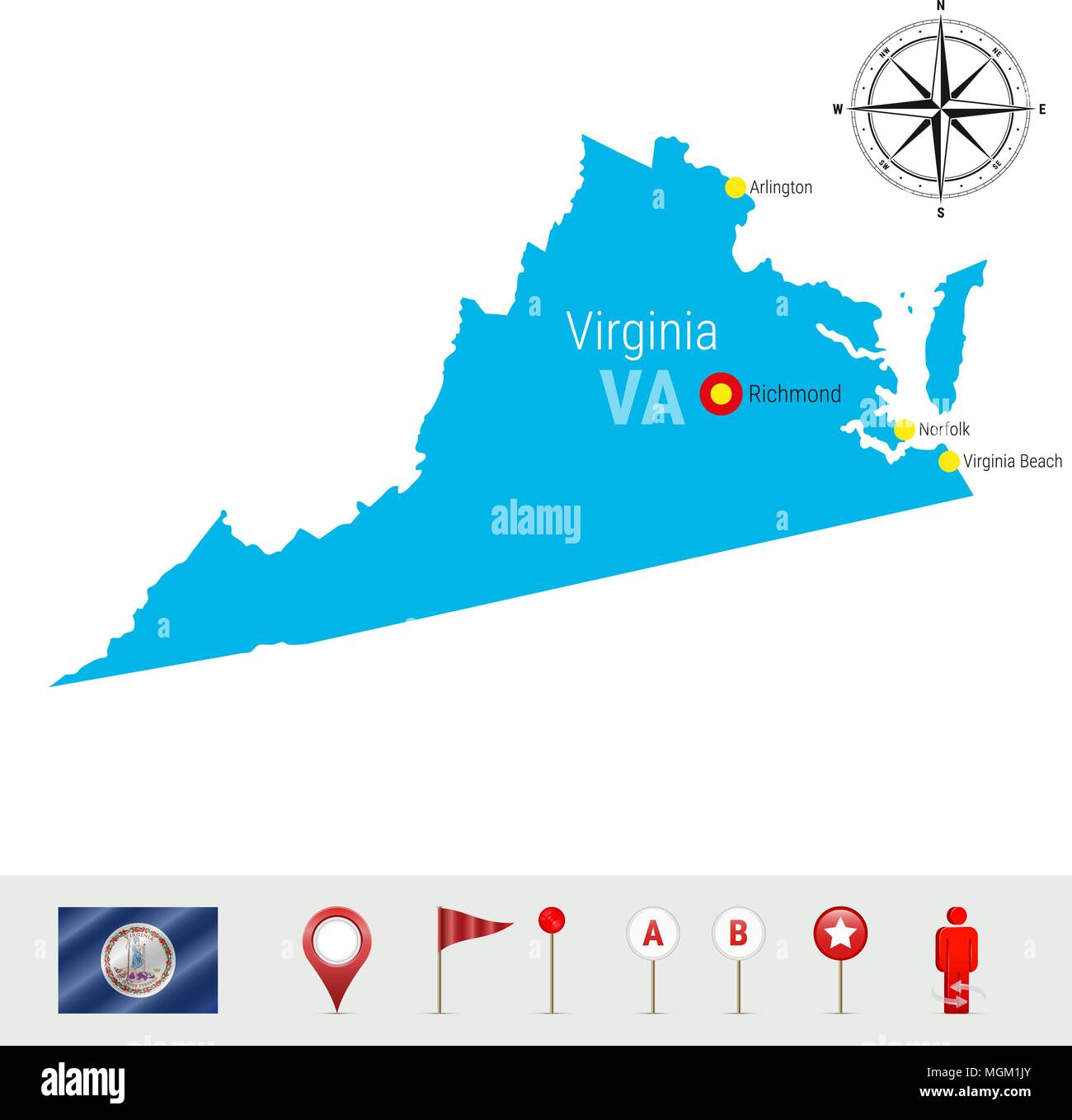 Virginia Vector Map Isolated on White Background. High Detailed Silhouette of Virginia State. Official Flag of Virginia Stock Vectorhttps://www.alamy.com/image-license-details/?v=1https://www.alamy.com/virginia-vector-map-isolated-on-white-background-high-detailed-silhouette-of-virginia-state-official-flag-of-virginia-image182378531.html
RFMGM1JY–Virginia Vector Map Isolated on White Background. High Detailed Silhouette of Virginia State. Official Flag of Virginia
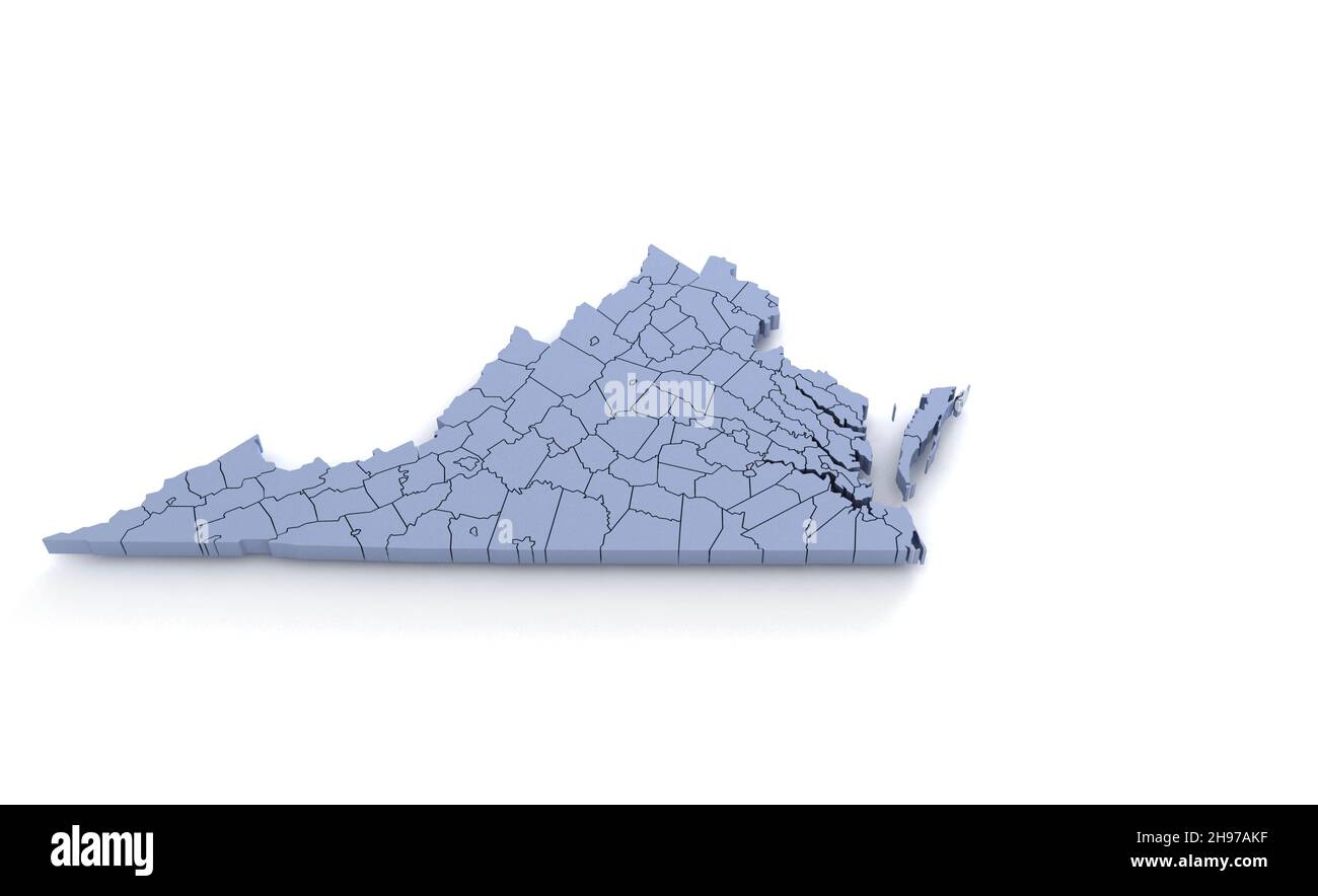 Virginia State Map 3d. State 3D rendering set in the United States. Stock Photohttps://www.alamy.com/image-license-details/?v=1https://www.alamy.com/virginia-state-map-3d-state-3d-rendering-set-in-the-united-states-image453163523.html
RF2H97AKF–Virginia State Map 3d. State 3D rendering set in the United States.
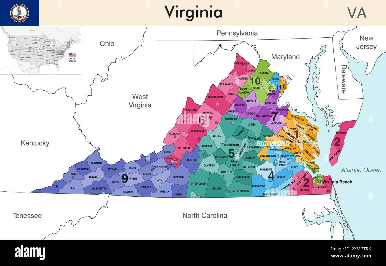 Virginia state map with counties borders and colored congressional districts boundaries due to The 2020 United States census and which is valid since Stock Vectorhttps://www.alamy.com/image-license-details/?v=1https://www.alamy.com/virginia-state-map-with-counties-borders-and-colored-congressional-districts-boundaries-due-to-the-2020-united-states-census-and-which-is-valid-since-image615026711.html
RF2XMGTRK–Virginia state map with counties borders and colored congressional districts boundaries due to The 2020 United States census and which is valid since
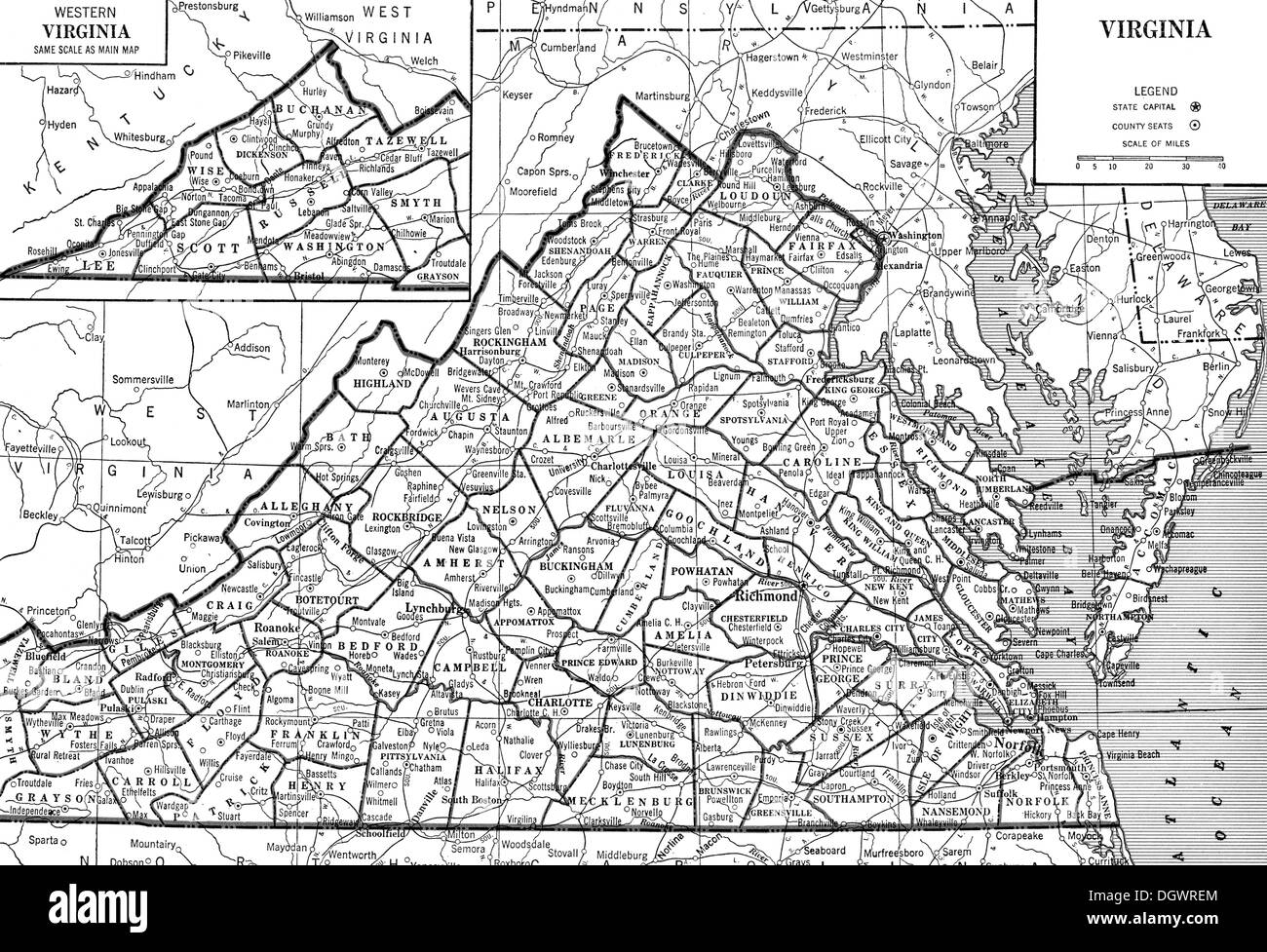 Old map of Virginia, 1930's Stock Photohttps://www.alamy.com/image-license-details/?v=1https://www.alamy.com/old-map-of-virginia-1930s-image62032844.html
RMDGWREM–Old map of Virginia, 1930's
 Virginia state map USA with halloween pumpkin face illustration Stock Photohttps://www.alamy.com/image-license-details/?v=1https://www.alamy.com/virginia-state-map-usa-with-halloween-pumpkin-face-illustration-image217120604.html
RFPH6KF8–Virginia state map USA with halloween pumpkin face illustration
 Virginia Map flag on American dollars illustration Stock Photohttps://www.alamy.com/image-license-details/?v=1https://www.alamy.com/stock-photo-virginia-map-flag-on-american-dollars-illustration-55860892.html
RFD6TK3T–Virginia Map flag on American dollars illustration
 A vector illustration of West Virginia state map typography Stock Vectorhttps://www.alamy.com/image-license-details/?v=1https://www.alamy.com/a-vector-illustration-of-west-virginia-state-map-typography-image477304664.html
RF2JMF2Y4–A vector illustration of West Virginia state map typography
 Flat style map of State of Virginia, USA. Virginia outline. Vector illustration Stock Vectorhttps://www.alamy.com/image-license-details/?v=1https://www.alamy.com/flat-style-map-of-state-of-virginia-usa-virginia-outline-vector-illustration-image472685895.html
RF2JD0KK3–Flat style map of State of Virginia, USA. Virginia outline. Vector illustration
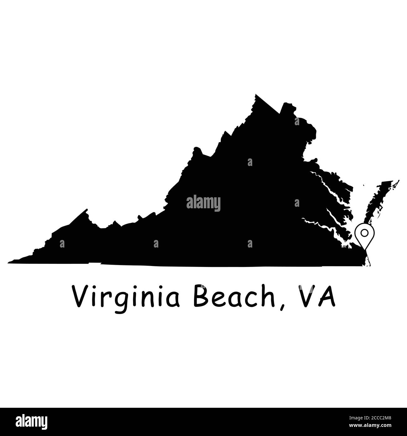 Virginia Beach on Virginia State Map. Detailed VA State Map with Location Pin on Virginia Beach City. Black silhouette vector map isolated on white ba Stock Vectorhttps://www.alamy.com/image-license-details/?v=1https://www.alamy.com/virginia-beach-on-virginia-state-map-detailed-va-state-map-with-location-pin-on-virginia-beach-city-black-silhouette-vector-map-isolated-on-white-ba-image369059160.html
RF2CCC2M8–Virginia Beach on Virginia State Map. Detailed VA State Map with Location Pin on Virginia Beach City. Black silhouette vector map isolated on white ba
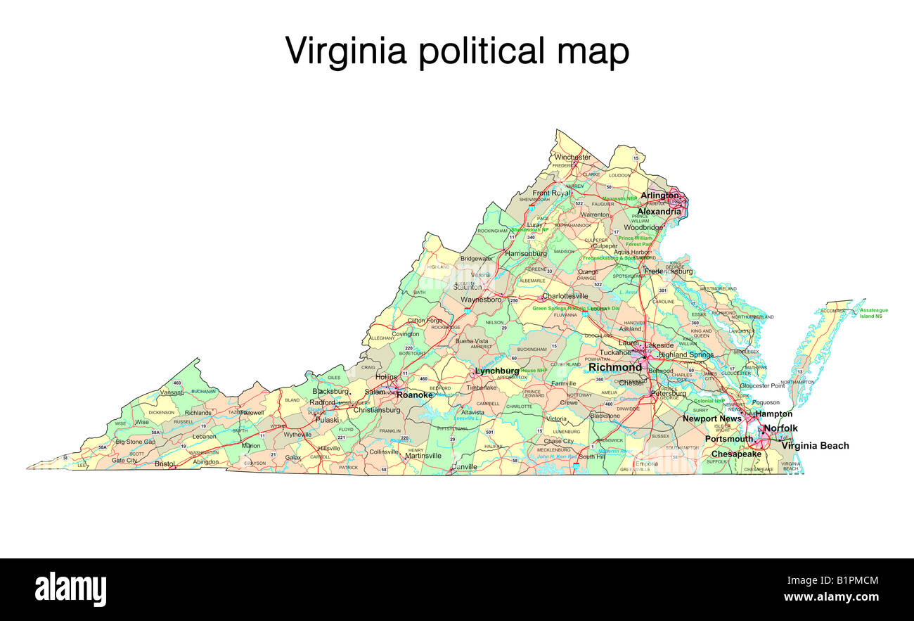 Virginia state political map Stock Photohttps://www.alamy.com/image-license-details/?v=1https://www.alamy.com/stock-photo-virginia-state-political-map-18324004.html
RFB1PMCM–Virginia state political map
 Virginia state map by Arrowsmith & Lewis 1812 old antique plan chart Stock Photohttps://www.alamy.com/image-license-details/?v=1https://www.alamy.com/virginia-state-map-by-arrowsmith-lewis-1812-old-antique-plan-chart-image419497767.html
RF2FADNK3–Virginia state map by Arrowsmith & Lewis 1812 old antique plan chart
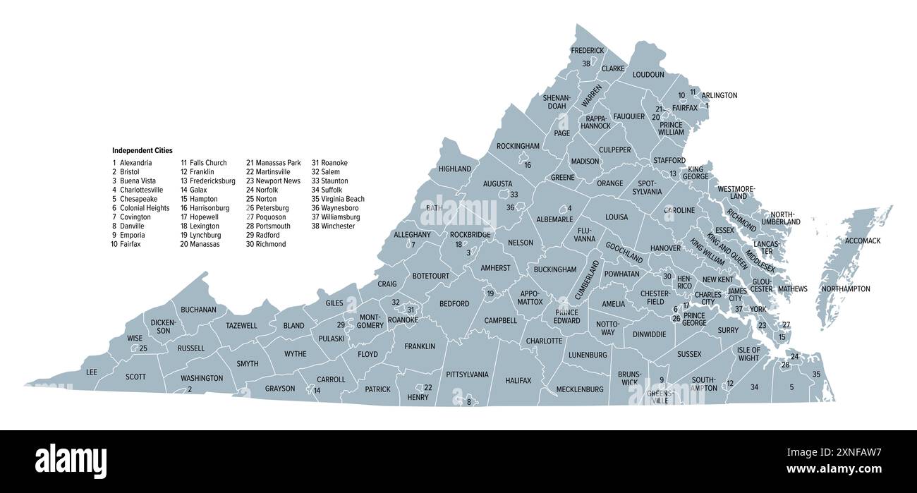 Virginia, U.S. state subdivided into 95 counties and 38 independent cities, gray political map. Commonwealth of Virginia. Stock Photohttps://www.alamy.com/image-license-details/?v=1https://www.alamy.com/virginia-us-state-subdivided-into-95-counties-and-38-independent-cities-gray-political-map-commonwealth-of-virginia-image615608483.html
RF2XNFAW7–Virginia, U.S. state subdivided into 95 counties and 38 independent cities, gray political map. Commonwealth of Virginia.
 Virginia state map with blue gradient Stock Vectorhttps://www.alamy.com/image-license-details/?v=1https://www.alamy.com/stock-photo-virginia-state-map-with-blue-gradient-91242733.html
RFF8CD11–Virginia state map with blue gradient
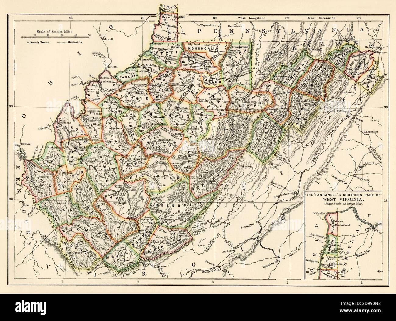 West Virginia map, 1870s. Color lithograph Stock Photohttps://www.alamy.com/image-license-details/?v=1https://www.alamy.com/west-virginia-map-1870s-color-lithograph-image384358164.html
RM2D990N8–West Virginia map, 1870s. Color lithograph
RF2T5A405–Virginia state map silhouette icon
 Virginia state map brand on wooden boards with map outline and state motto Stock Vectorhttps://www.alamy.com/image-license-details/?v=1https://www.alamy.com/stock-photo-virginia-state-map-brand-on-wooden-boards-with-map-outline-and-state-95382508.html
RFFF51A4–Virginia state map brand on wooden boards with map outline and state motto
 West Virginia state map with waving flag. Alpha channel background. Stock Photohttps://www.alamy.com/image-license-details/?v=1https://www.alamy.com/west-virginia-state-map-with-waving-flag-alpha-channel-background-image484767506.html
RF2K4K1W6–West Virginia state map with waving flag. Alpha channel background.
 Virginia Map Brand Stock Vectorhttps://www.alamy.com/image-license-details/?v=1https://www.alamy.com/stock-photo-virginia-map-brand-116262702.html
RFGN467A–Virginia Map Brand
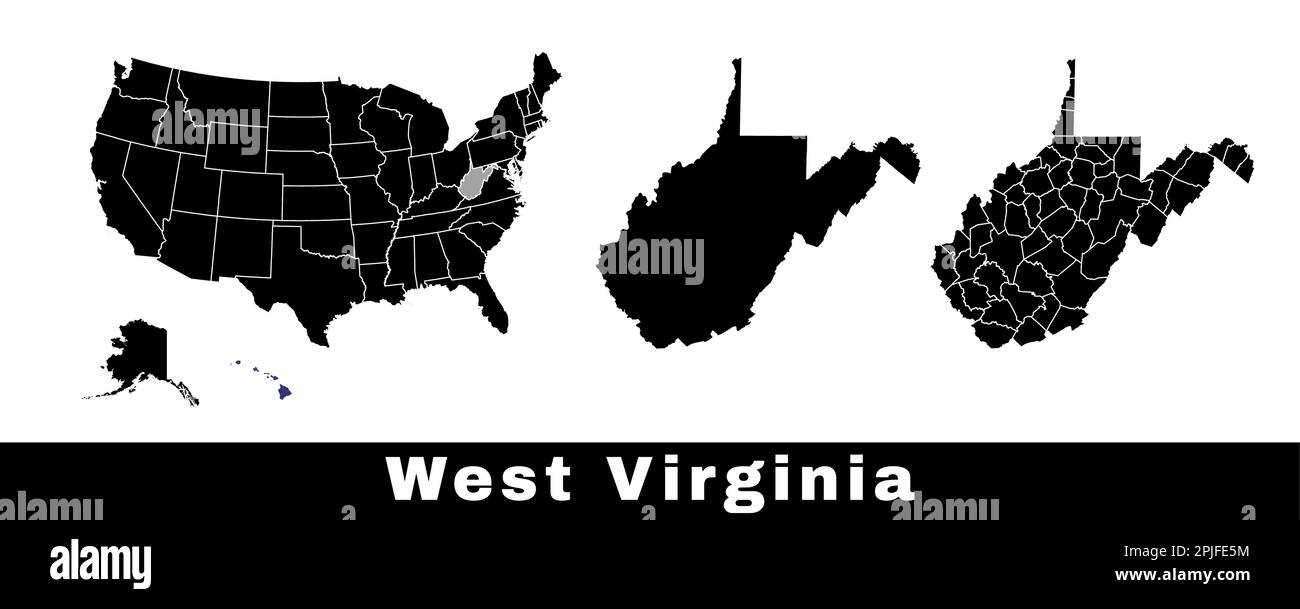 West Virginia state map, USA. Set of West Virginia maps with outline border, counties and US states map. Black and white color vector illustration. Stock Vectorhttps://www.alamy.com/image-license-details/?v=1https://www.alamy.com/west-virginia-state-map-usa-set-of-west-virginia-maps-with-outline-border-counties-and-us-states-map-black-and-white-color-vector-illustration-image544925632.html
RF2PJFE5M–West Virginia state map, USA. Set of West Virginia maps with outline border, counties and US states map. Black and white color vector illustration.
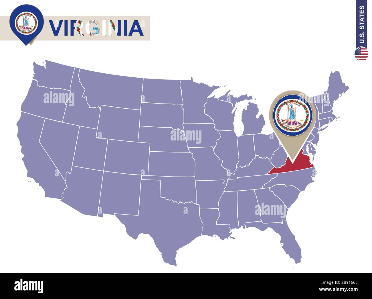 Virginia State on USA Map. Virginia flag and map. US States. Stock Vectorhttps://www.alamy.com/image-license-details/?v=1https://www.alamy.com/virginia-state-on-usa-map-virginia-flag-and-map-us-states-image349766093.html
RF2B91665–Virginia State on USA Map. Virginia flag and map. US States.
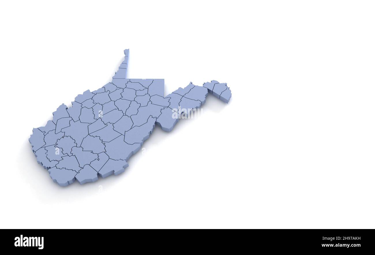 West Virginia State Map 3d. State 3D rendering set in the United States. Stock Photohttps://www.alamy.com/image-license-details/?v=1https://www.alamy.com/west-virginia-state-map-3d-state-3d-rendering-set-in-the-united-states-image453163525.html
RF2H97AKH–West Virginia State Map 3d. State 3D rendering set in the United States.
 West Virginia state map with counties borders and colored congressional districts boundaries due to The 2020 United States census and which is valid s Stock Vectorhttps://www.alamy.com/image-license-details/?v=1https://www.alamy.com/west-virginia-state-map-with-counties-borders-and-colored-congressional-districts-boundaries-due-to-the-2020-united-states-census-and-which-is-valid-s-image615026703.html
RF2XMGTRB–West Virginia state map with counties borders and colored congressional districts boundaries due to The 2020 United States census and which is valid s
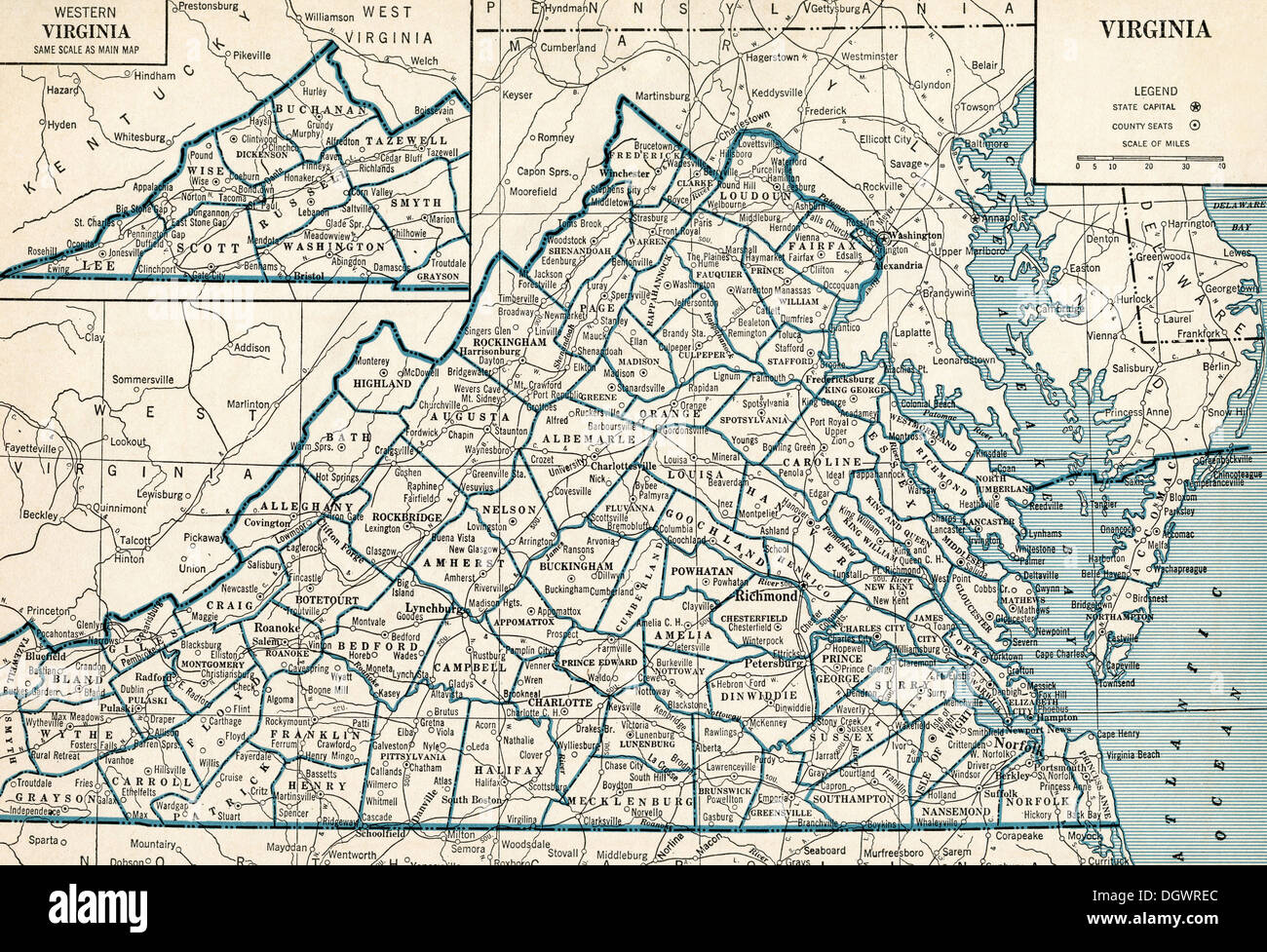 Old map of Virginia, 1930's Stock Photohttps://www.alamy.com/image-license-details/?v=1https://www.alamy.com/old-map-of-virginia-1930s-image62032836.html
RMDGWREC–Old map of Virginia, 1930's
 West Virginia state map USA with halloween pumpkin face illustration Stock Photohttps://www.alamy.com/image-license-details/?v=1https://www.alamy.com/west-virginia-state-map-usa-with-halloween-pumpkin-face-illustration-image217120554.html
RFPH6KDE–West Virginia state map USA with halloween pumpkin face illustration
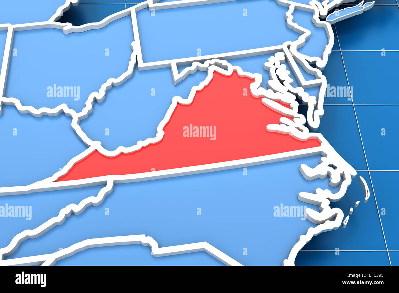 3d render of USA map with Virginia state highlighted Stock Photohttps://www.alamy.com/image-license-details/?v=1https://www.alamy.com/stock-photo-3d-render-of-usa-map-with-virginia-state-highlighted-78327345.html
RFEFC395–3d render of USA map with Virginia state highlighted
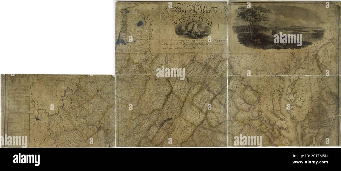 Map of the state of Virginia, still image, Maps, 1826, Böye, Herman, Perkins, Joseph (1788-1842 Stock Photohttps://www.alamy.com/image-license-details/?v=1https://www.alamy.com/map-of-the-state-of-virginia-still-image-maps-1826-bye-herman-perkins-joseph-1788-1842-image376514593.html
RM2CTFM5N–Map of the state of Virginia, still image, Maps, 1826, Böye, Herman, Perkins, Joseph (1788-1842
 American State of Virginia flag in flat web design style. Stock Photohttps://www.alamy.com/image-license-details/?v=1https://www.alamy.com/stock-photo-american-state-of-virginia-flag-in-flat-web-design-style-82275775.html
RMENRYGF–American State of Virginia flag in flat web design style.
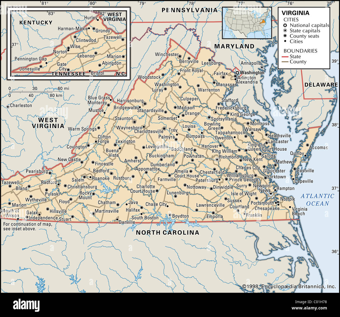 Political map of Virginia Stock Photohttps://www.alamy.com/image-license-details/?v=1https://www.alamy.com/stock-photo-political-map-of-virginia-34456220.html
RMC01H78–Political map of Virginia
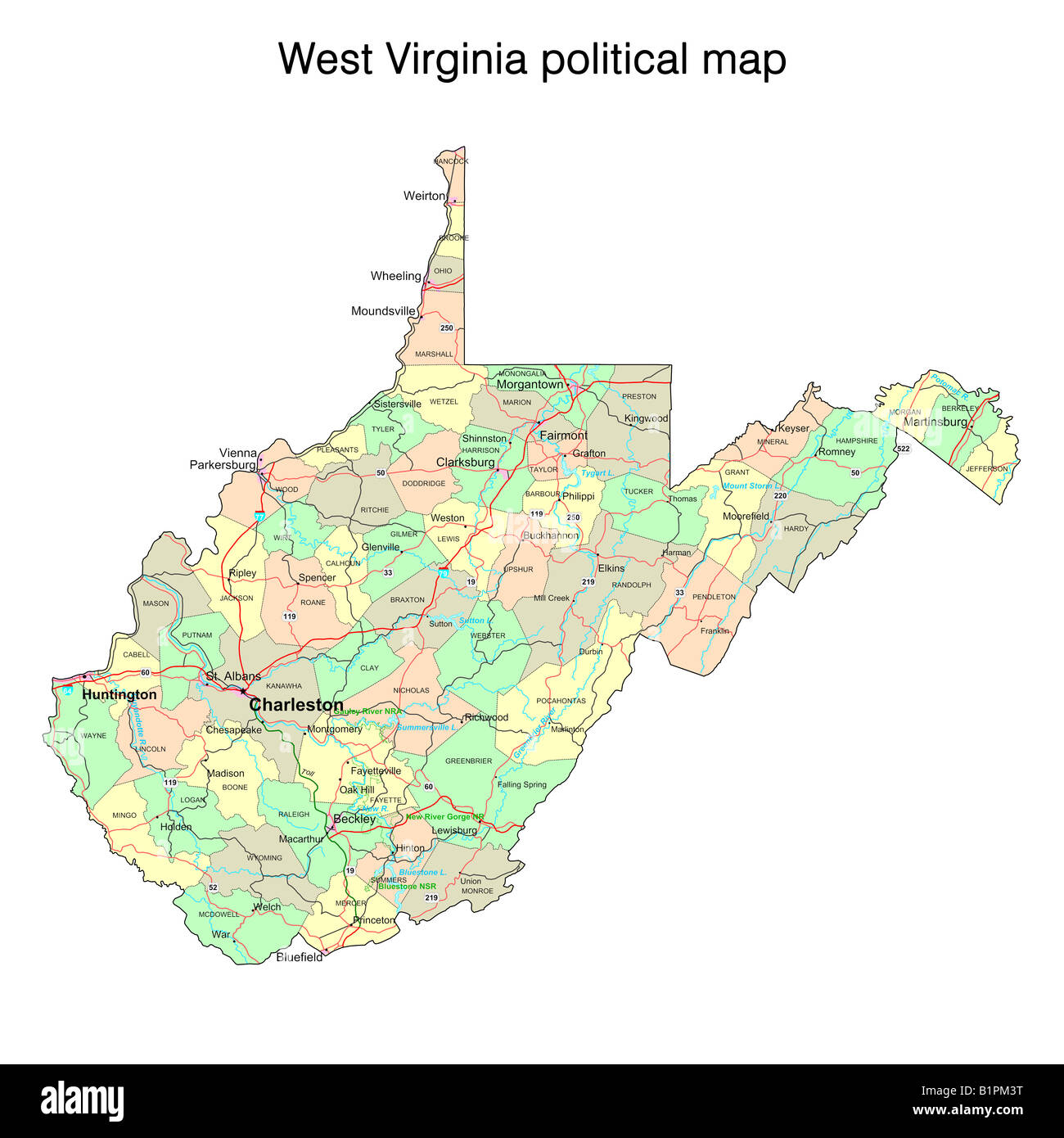 West Virginia state political map Stock Photohttps://www.alamy.com/image-license-details/?v=1https://www.alamy.com/stock-photo-west-virginia-state-political-map-18323756.html
RFB1PM3T–West Virginia state political map
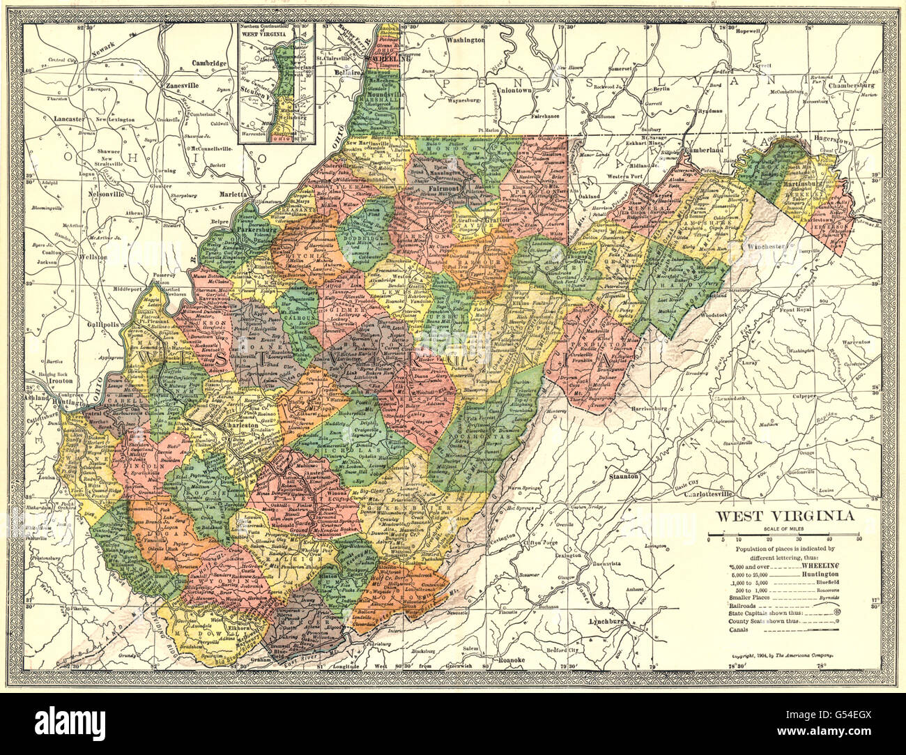 WEST VIRGINIA state map. Counties, 1907 Stock Photohttps://www.alamy.com/image-license-details/?v=1https://www.alamy.com/stock-photo-west-virginia-state-map-counties-1907-106434746.html
RFG54EGX–WEST VIRGINIA state map. Counties, 1907
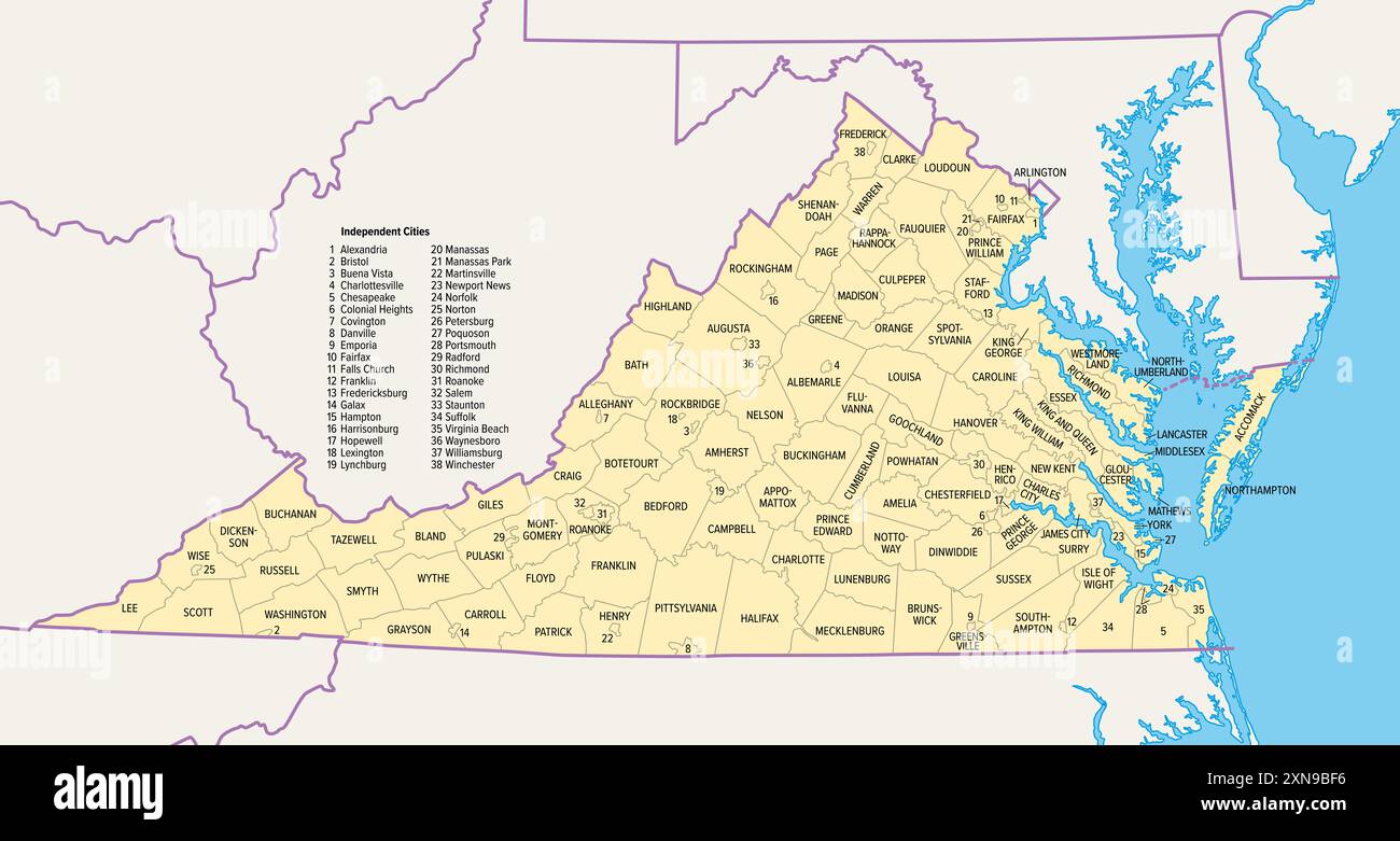 Virginia counties and cities, political map. Commonwealth of Virginia, a state in the Southeastern and Mid-Atlantic regions of the United States. Stock Photohttps://www.alamy.com/image-license-details/?v=1https://www.alamy.com/virginia-counties-and-cities-political-map-commonwealth-of-virginia-a-state-in-the-southeastern-and-mid-atlantic-regions-of-the-united-states-image615477274.html
RF2XN9BF6–Virginia counties and cities, political map. Commonwealth of Virginia, a state in the Southeastern and Mid-Atlantic regions of the United States.
 West Virginia state map with blue gradient Stock Vectorhttps://www.alamy.com/image-license-details/?v=1https://www.alamy.com/stock-photo-west-virginia-state-map-with-blue-gradient-91242744.html
RFF8CD1C–West Virginia state map with blue gradient
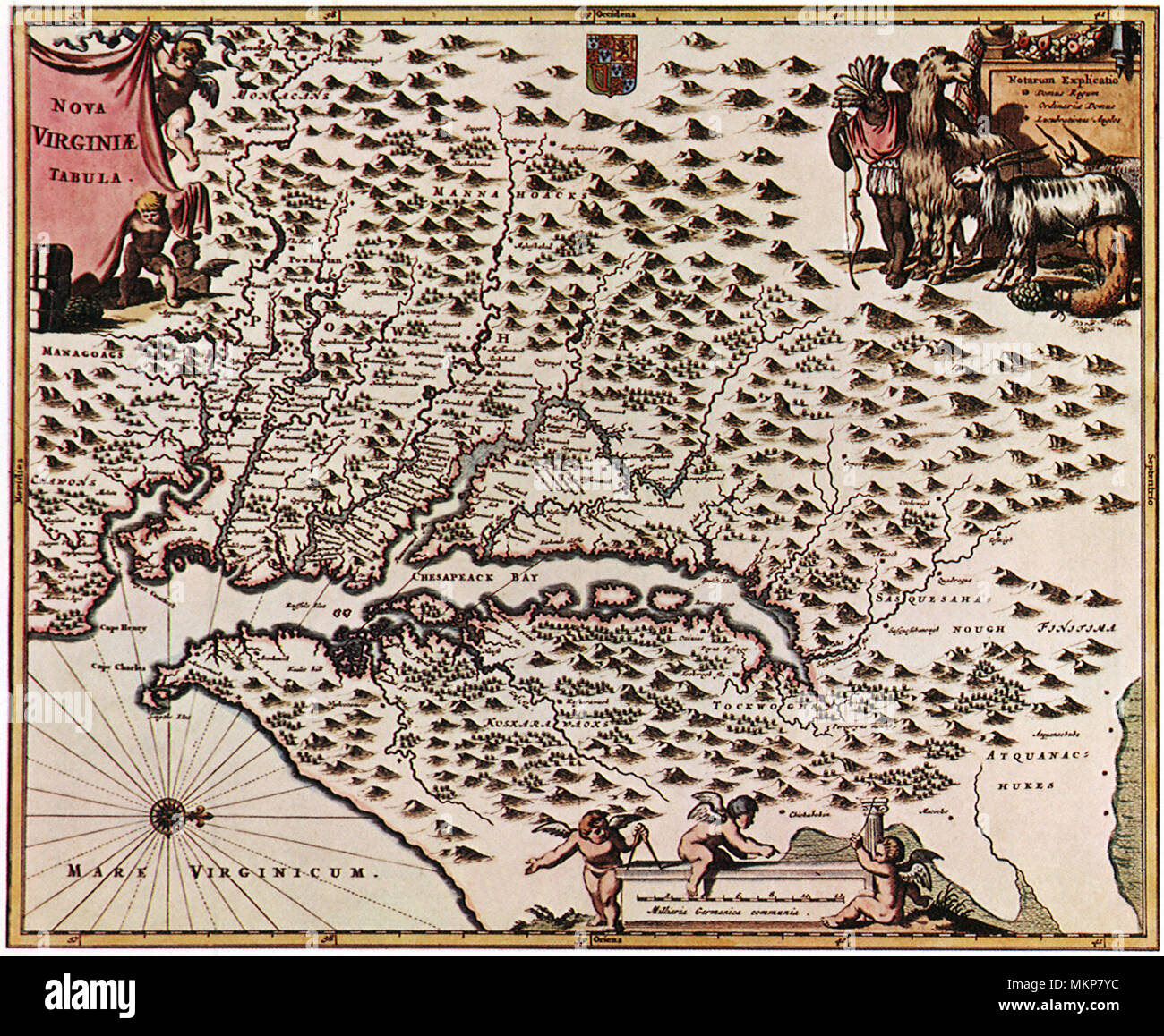 Map of Virginia 1616 Stock Photohttps://www.alamy.com/image-license-details/?v=1https://www.alamy.com/map-of-virginia-1616-image184271344.html
RMMKP7YC–Map of Virginia 1616
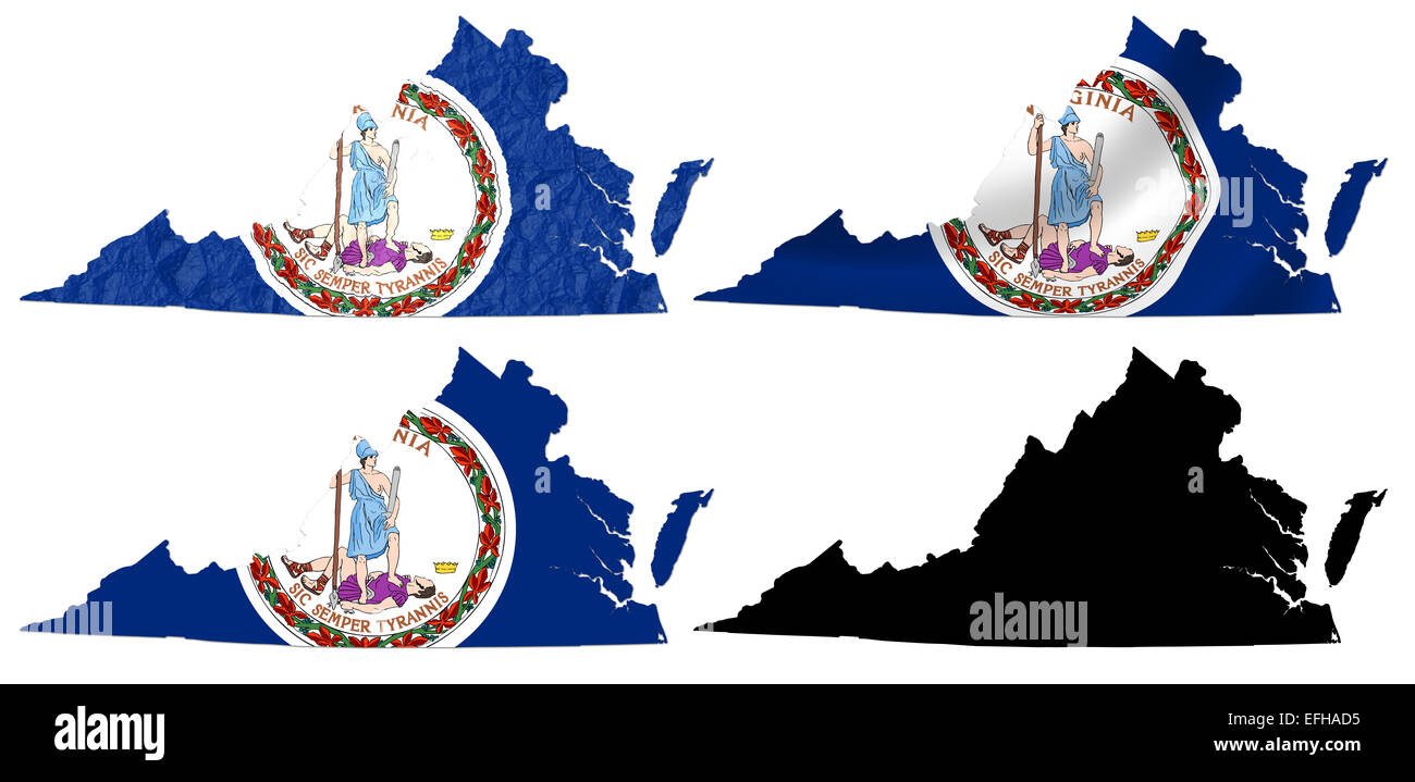 US Virginia state flag over map collage Stock Photohttps://www.alamy.com/image-license-details/?v=1https://www.alamy.com/stock-photo-us-virginia-state-flag-over-map-collage-78442705.html
RFEFHAD5–US Virginia state flag over map collage
 West Virginia state map brand on wooden boards with map outline and state motto Stock Vectorhttps://www.alamy.com/image-license-details/?v=1https://www.alamy.com/stock-photo-west-virginia-state-map-brand-on-wooden-boards-with-map-outline-and-95401608.html
RFFF5WM8–West Virginia state map brand on wooden boards with map outline and state motto
 Map of Maryland, Virginia, Pennsylvania Stock Photohttps://www.alamy.com/image-license-details/?v=1https://www.alamy.com/map-of-maryland-virginia-pennsylvania-image504915034.html
RM2M9CT7P–Map of Maryland, Virginia, Pennsylvania
 Red Dot Map of West Virginia Stock Vectorhttps://www.alamy.com/image-license-details/?v=1https://www.alamy.com/stock-photo-red-dot-map-of-west-virginia-115938592.html
RFGMHCT0–Red Dot Map of West Virginia
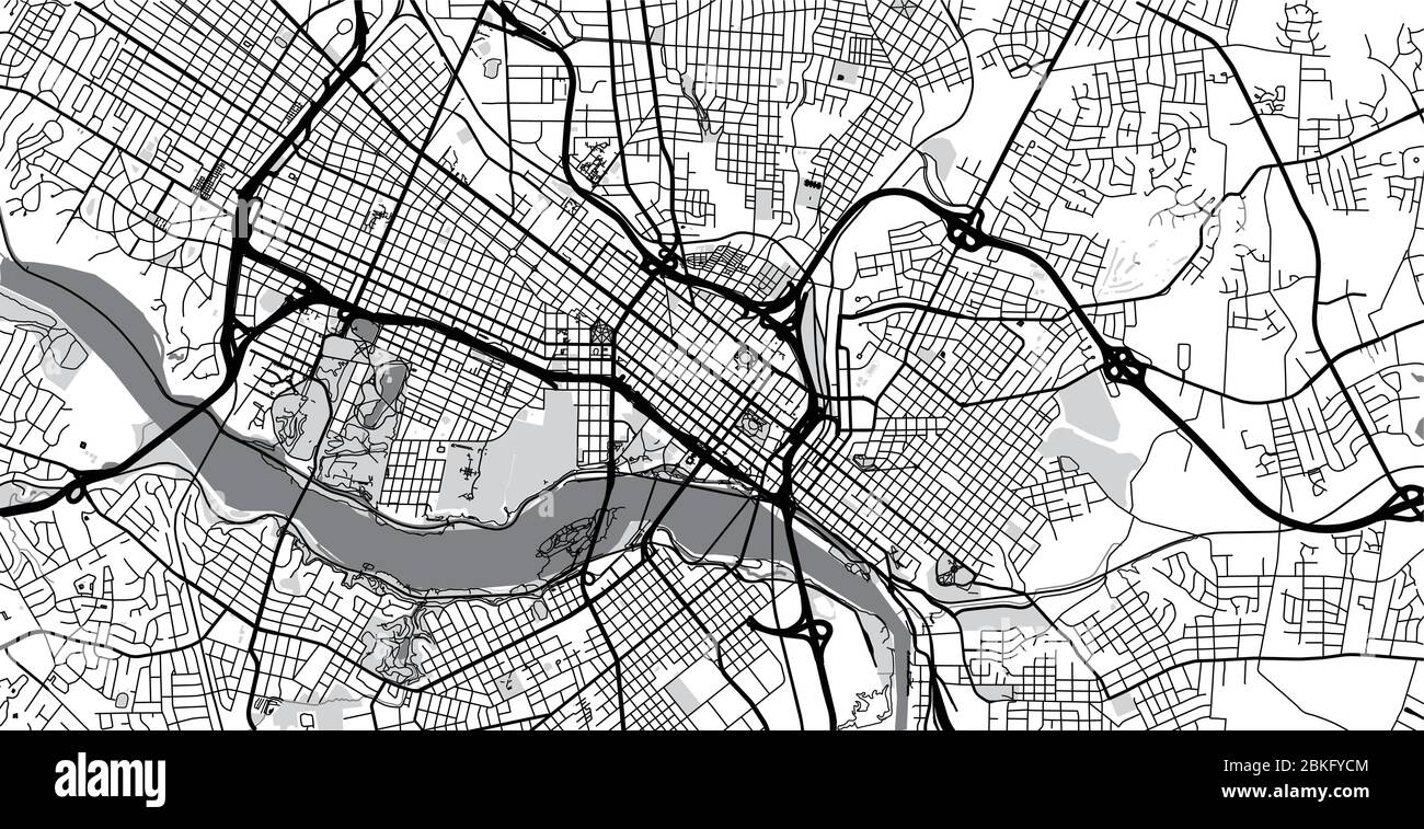 Urban vector city map of Richmond, USA. Virginia state capital Stock Vectorhttps://www.alamy.com/image-license-details/?v=1https://www.alamy.com/urban-vector-city-map-of-richmond-usa-virginia-state-capital-image356236628.html
RF2BKFYCM–Urban vector city map of Richmond, USA. Virginia state capital
 Map of the state of Virginia - USA Stock Photohttps://www.alamy.com/image-license-details/?v=1https://www.alamy.com/stock-photo-map-of-the-state-of-virginia-usa-53606343.html
RFD35YC7–Map of the state of Virginia - USA
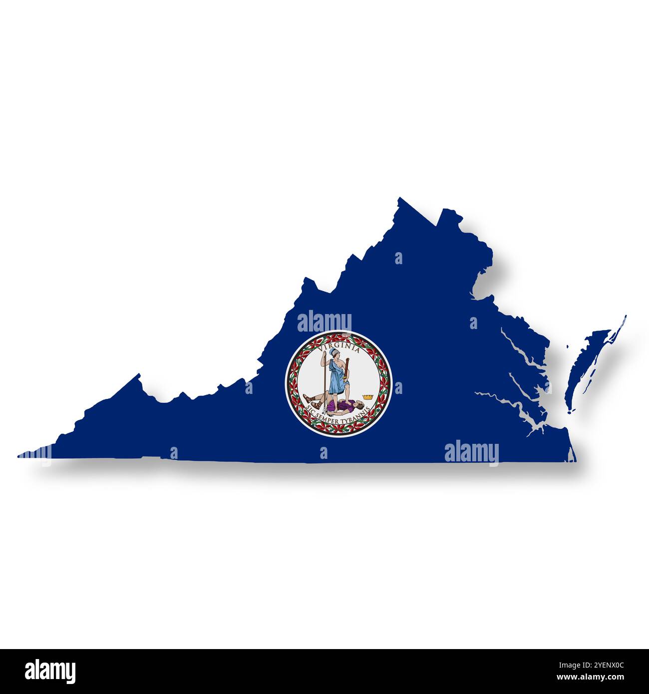 Virginia State flag map Illustration with clipping path Stock Photohttps://www.alamy.com/image-license-details/?v=1https://www.alamy.com/virginia-state-flag-map-illustration-with-clipping-path-image628659820.html
RF2YENX0C–Virginia State flag map Illustration with clipping path
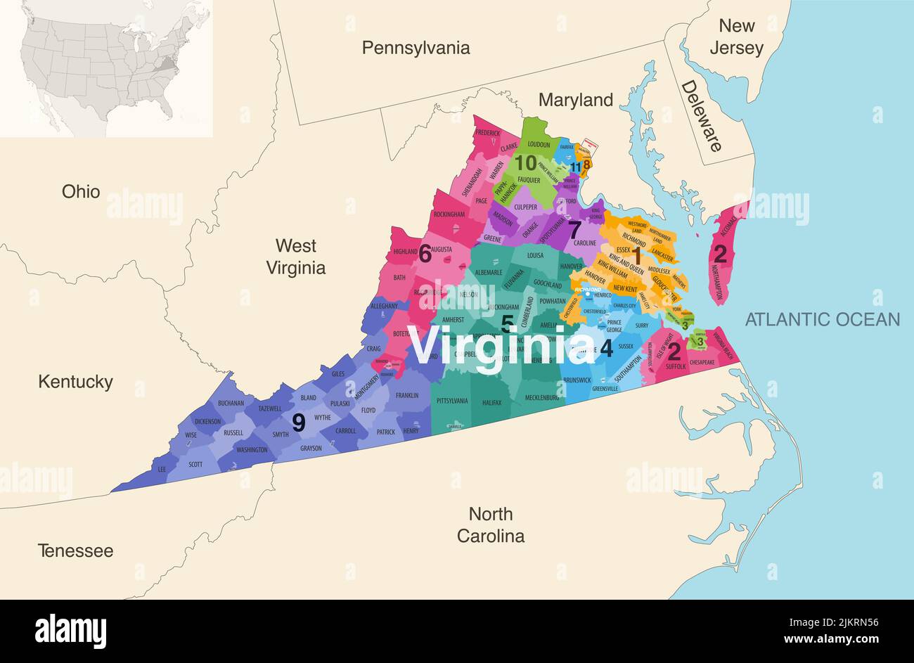 Virginia state counties colored by congressional districts vector map with neighbouring states and terrotories Stock Vectorhttps://www.alamy.com/image-license-details/?v=1https://www.alamy.com/virginia-state-counties-colored-by-congressional-districts-vector-map-with-neighbouring-states-and-terrotories-image476879906.html
RF2JKRN56–Virginia state counties colored by congressional districts vector map with neighbouring states and terrotories
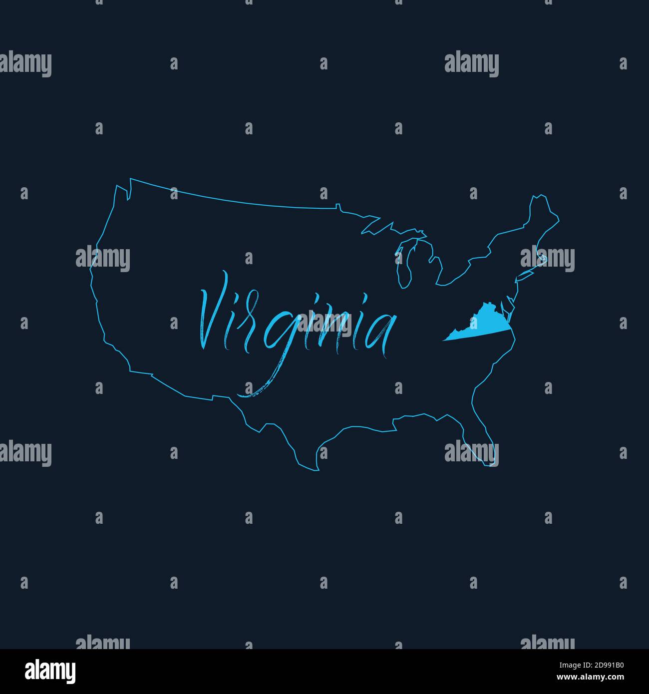 Virginia state highlighted on United States of America map , USA infographics template. Stock vector illustration isolated on blue background. Stock Vectorhttps://www.alamy.com/image-license-details/?v=1https://www.alamy.com/virginia-state-highlighted-on-united-states-of-america-map-usa-infographics-template-stock-vector-illustration-isolated-on-blue-background-image384358660.html
RF2D991B0–Virginia state highlighted on United States of America map , USA infographics template. Stock vector illustration isolated on blue background.
 Virginia state map with Social Distancing stayathome tag Stock Vectorhttps://www.alamy.com/image-license-details/?v=1https://www.alamy.com/virginia-state-map-with-social-distancing-stayathome-tag-image351431734.html
RF2BBN2NA–Virginia state map with Social Distancing stayathome tag
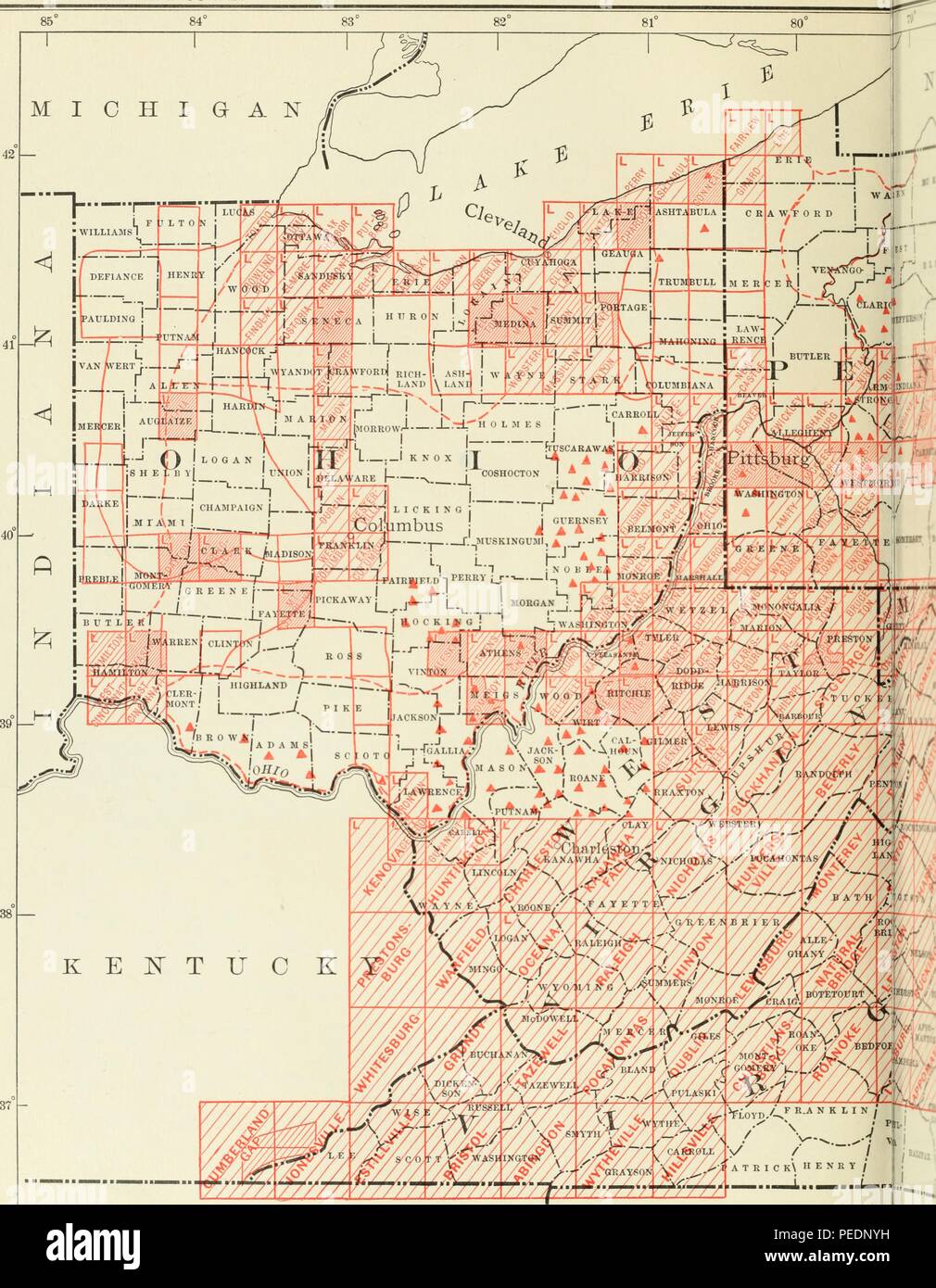 Map of Ohio, with parts of Virginia, West Virginia, and Pennsylvania, with red marks to indicate areas where topographical surveys have been carried out, 1905. Courtesy Internet Archive. () Stock Photohttps://www.alamy.com/image-license-details/?v=1https://www.alamy.com/map-of-ohio-with-parts-of-virginia-west-virginia-and-pennsylvania-with-red-marks-to-indicate-areas-where-topographical-surveys-have-been-carried-out-1905-courtesy-internet-archive-image215432213.html
RMPEDNYH–Map of Ohio, with parts of Virginia, West Virginia, and Pennsylvania, with red marks to indicate areas where topographical surveys have been carried out, 1905. Courtesy Internet Archive. ()
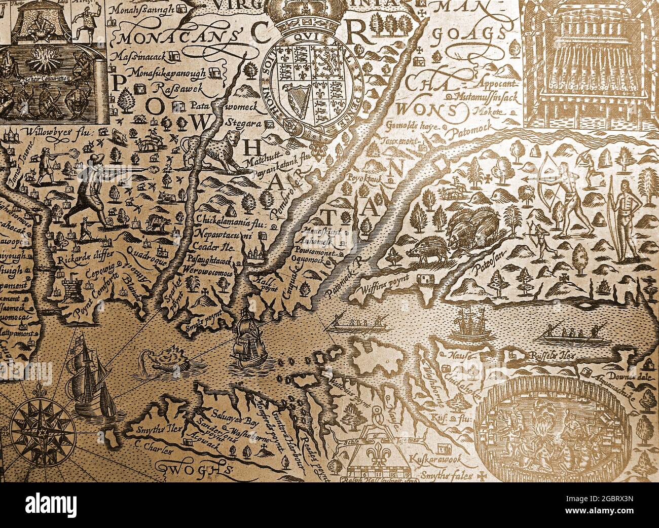 A detailed early 17th century map of the American state of Virginia with original place names, native Indian names and original spellings. Stock Photohttps://www.alamy.com/image-license-details/?v=1https://www.alamy.com/a-detailed-early-17th-century-map-of-the-american-state-of-virginia-with-original-place-names-native-indian-names-and-original-spellings-image437545801.html
RM2GBRX3N–A detailed early 17th century map of the American state of Virginia with original place names, native Indian names and original spellings.
 American State of West Virginia flag in flat web design style. Stock Photohttps://www.alamy.com/image-license-details/?v=1https://www.alamy.com/stock-photo-american-state-of-west-virginia-flag-in-flat-web-design-style-82275777.html
RMENRYGH–American State of West Virginia flag in flat web design style.
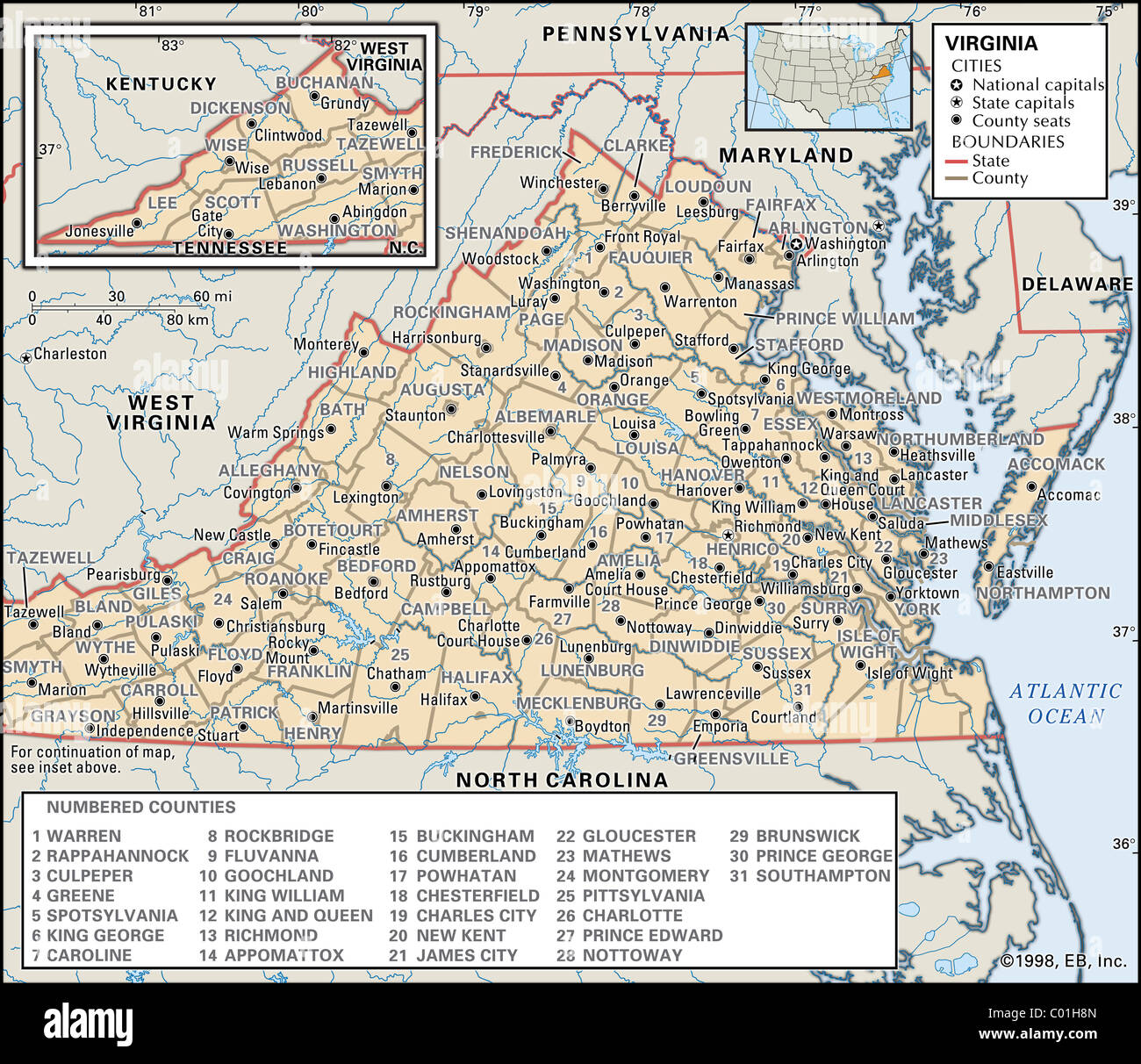 Political map of Virginia Stock Photohttps://www.alamy.com/image-license-details/?v=1https://www.alamy.com/stock-photo-political-map-of-virginia-34456261.html
RMC01H8N–Political map of Virginia
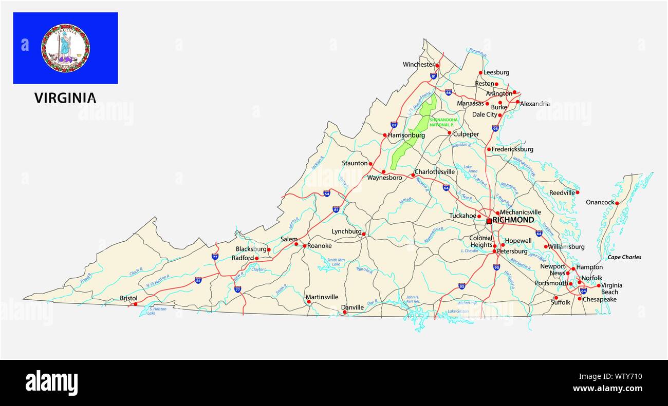 virginia road map with flag Stock Vectorhttps://www.alamy.com/image-license-details/?v=1https://www.alamy.com/virginia-road-map-with-flag-image273505484.html
RFWTY710–virginia road map with flag
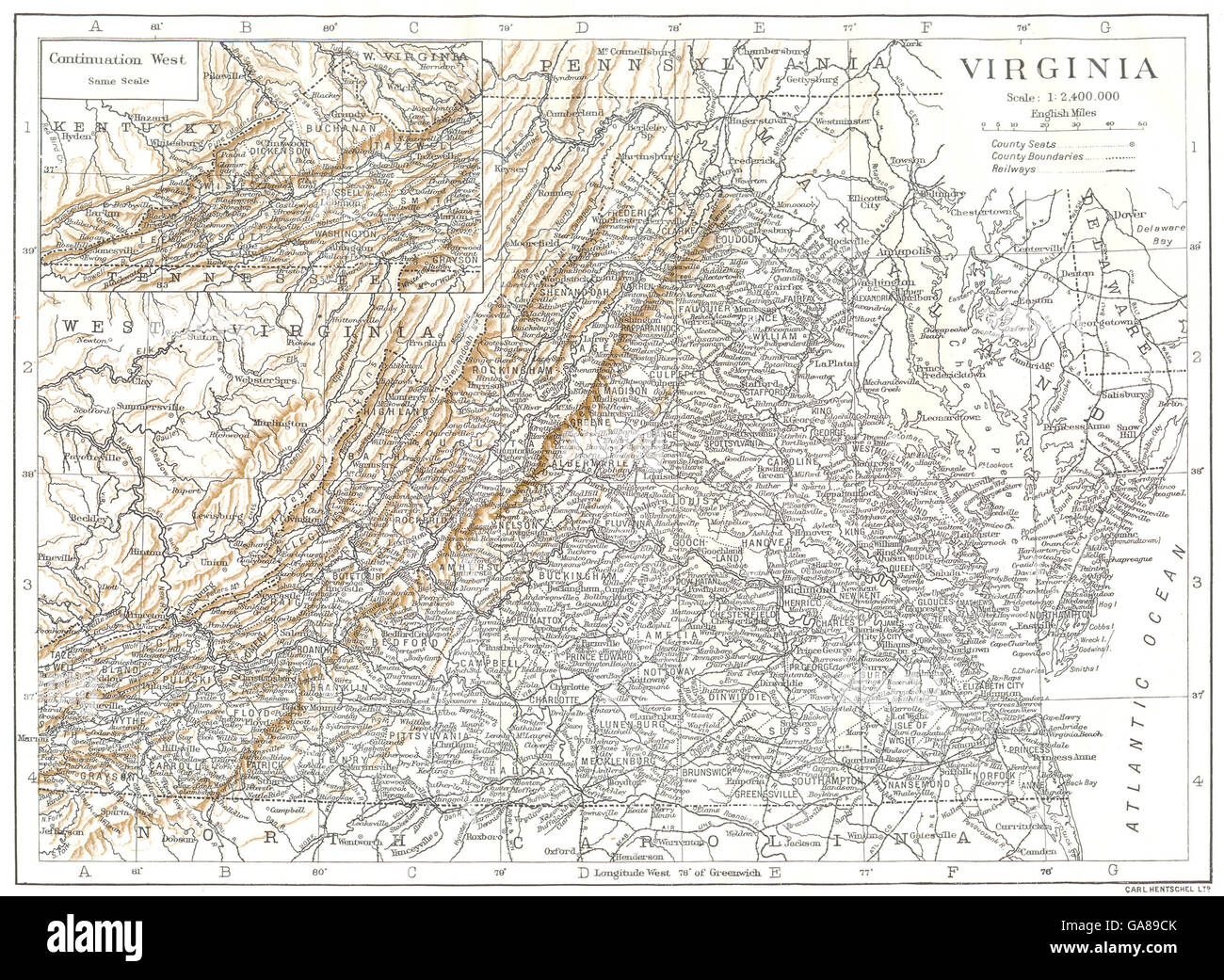 VIRGINIA: Virginia state map showing counties, 1910 Stock Photohttps://www.alamy.com/image-license-details/?v=1https://www.alamy.com/stock-photo-virginia-virginia-state-map-showing-counties-1910-109591795.html
RFGA89CK–VIRGINIA: Virginia state map showing counties, 1910
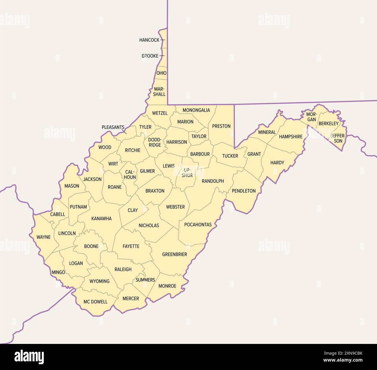 West Virginia counties, political map with borders and county names. Landlocked state in the Southeastern and Mid-Atlantic regions of United States. Stock Photohttps://www.alamy.com/image-license-details/?v=1https://www.alamy.com/west-virginia-counties-political-map-with-borders-and-county-names-landlocked-state-in-the-southeastern-and-mid-atlantic-regions-of-united-states-image615477959.html
RF2XN9CBK–West Virginia counties, political map with borders and county names. Landlocked state in the Southeastern and Mid-Atlantic regions of United States.
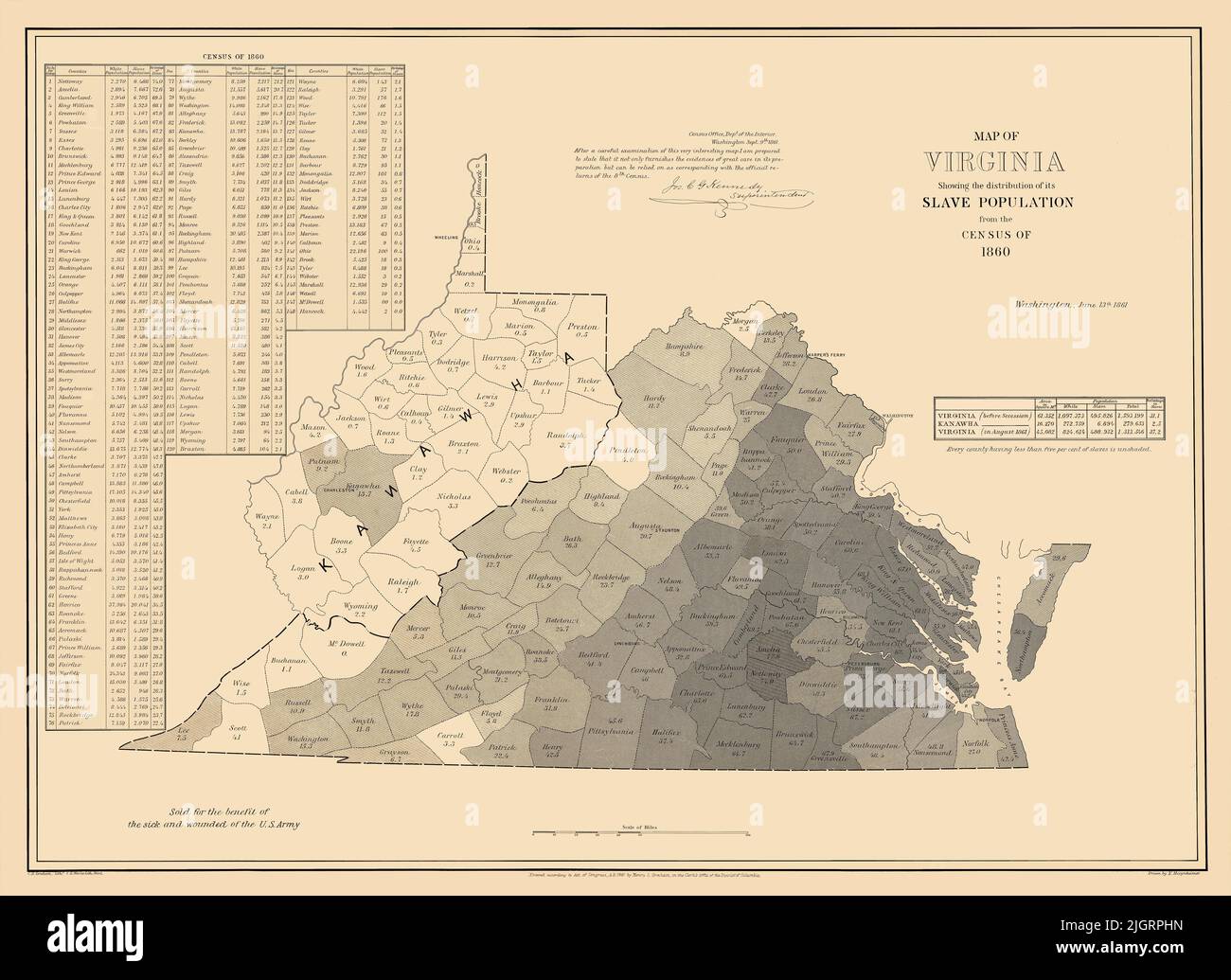 Restored, enhanced reproduction of an 1861 antique map. Original title: Map of Virginia showing the distribution of its slave population from the census of 1860. Shows the state divided into counties with the percentage of slaves in each county. West Virginia is labeled 'Kanawha,' the name of the proposed state at the time. Stock Photohttps://www.alamy.com/image-license-details/?v=1https://www.alamy.com/restored-enhanced-reproduction-of-an-1861-antique-map-original-title-map-of-virginia-showing-the-distribution-of-its-slave-population-from-the-census-of-1860-shows-the-state-divided-into-counties-with-the-percentage-of-slaves-in-each-county-west-virginia-is-labeled-kanawha-the-name-of-the-proposed-state-at-the-time-image475037073.html
RM2JGRPHN–Restored, enhanced reproduction of an 1861 antique map. Original title: Map of Virginia showing the distribution of its slave population from the census of 1860. Shows the state divided into counties with the percentage of slaves in each county. West Virginia is labeled 'Kanawha,' the name of the proposed state at the time.
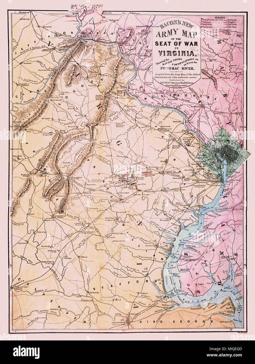 Civil War Map- Virginia 1862 Stock Photohttps://www.alamy.com/image-license-details/?v=1https://www.alamy.com/civil-war-map-virginia-1862-image184188717.html
RMMKJEGD–Civil War Map- Virginia 1862
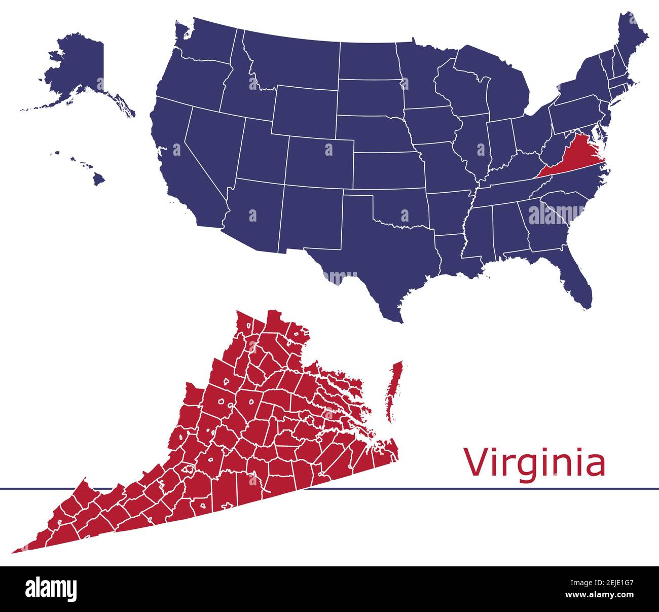 Virginia counties vector map outline with USA map colors national flag Stock Vectorhttps://www.alamy.com/image-license-details/?v=1https://www.alamy.com/virginia-counties-vector-map-outline-with-usa-map-colors-national-flag-image407210839.html
RF2EJE1G7–Virginia counties vector map outline with USA map colors national flag
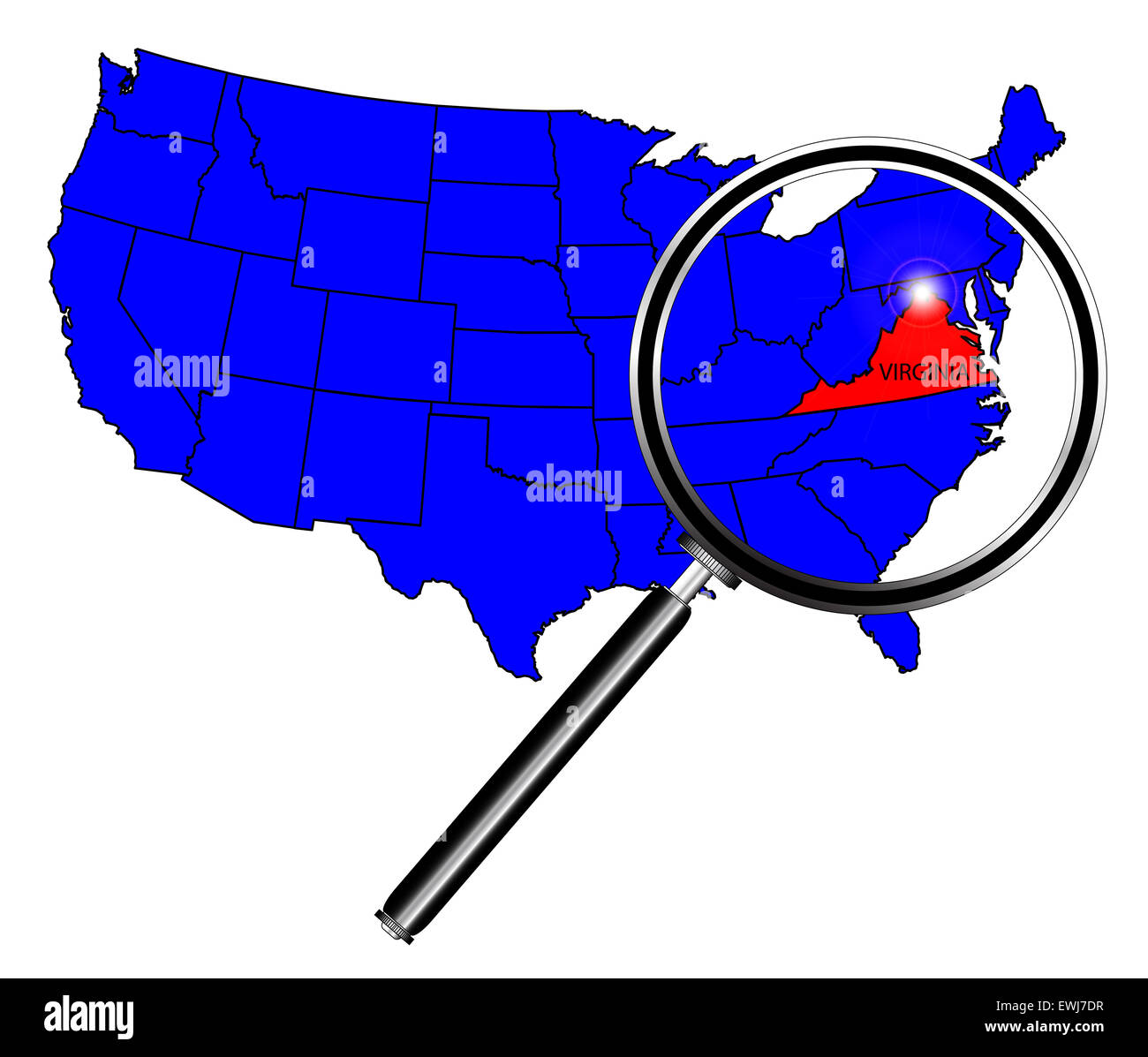 Virginia state outline set into a map of The United States of America below a magnifying glass Stock Photohttps://www.alamy.com/image-license-details/?v=1https://www.alamy.com/stock-photo-virginia-state-outline-set-into-a-map-of-the-united-states-of-america-84608883.html
RFEWJ7DR–Virginia state outline set into a map of The United States of America below a magnifying glass
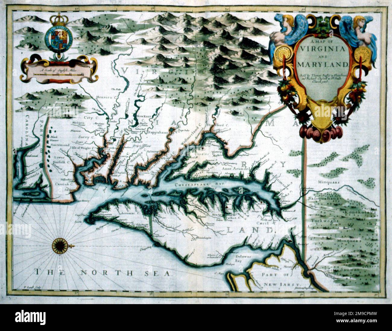 17th century Map of Virginia, America Stock Photohttps://www.alamy.com/image-license-details/?v=1https://www.alamy.com/17th-century-map-of-virginia-america-image504913833.html
RM2M9CPMW–17th century Map of Virginia, America
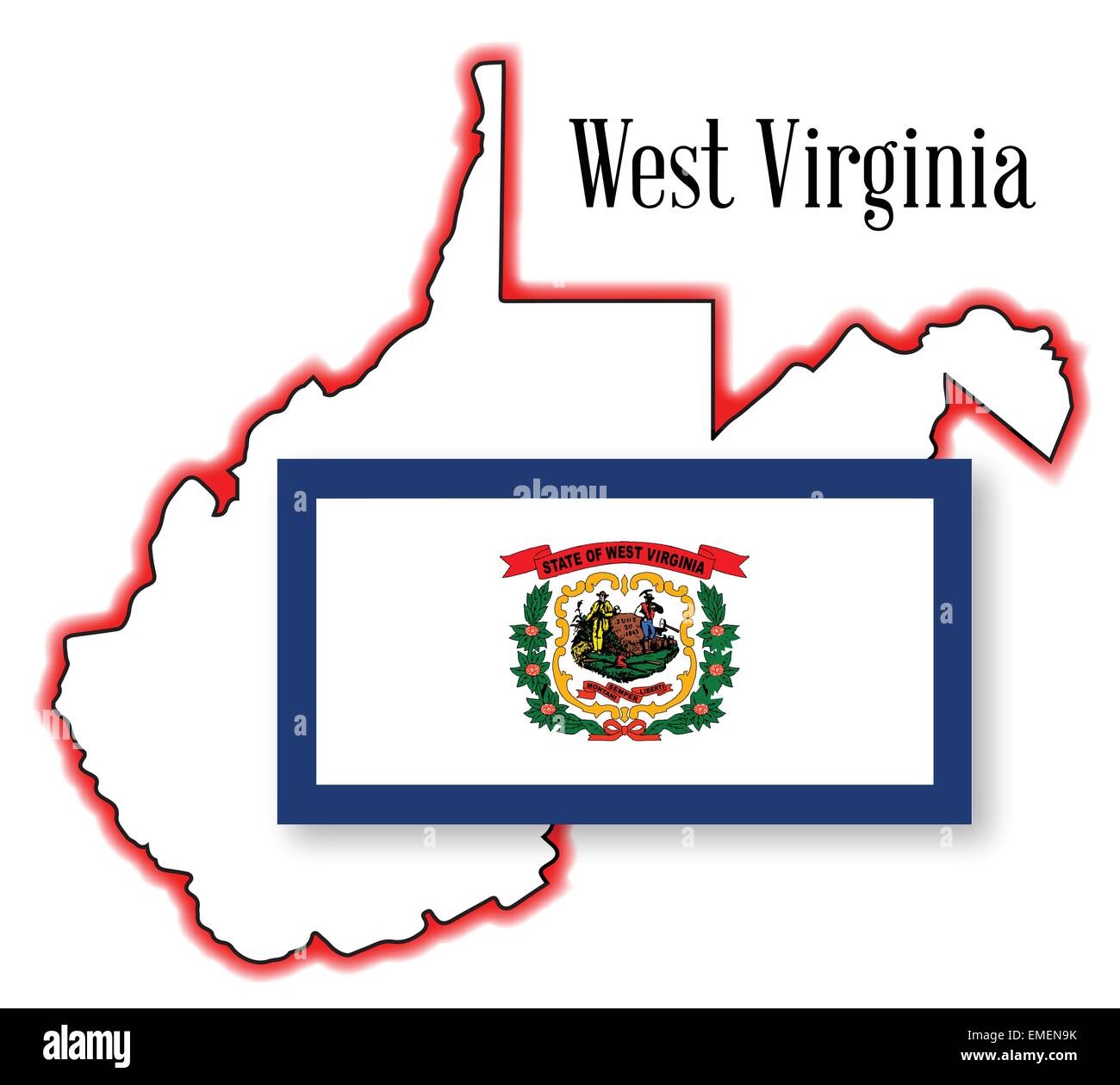 West Virginia State Map and Flag Stock Vectorhttps://www.alamy.com/image-license-details/?v=1https://www.alamy.com/stock-photo-west-virginia-state-map-and-flag-81458655.html
RFEMEN9K–West Virginia State Map and Flag
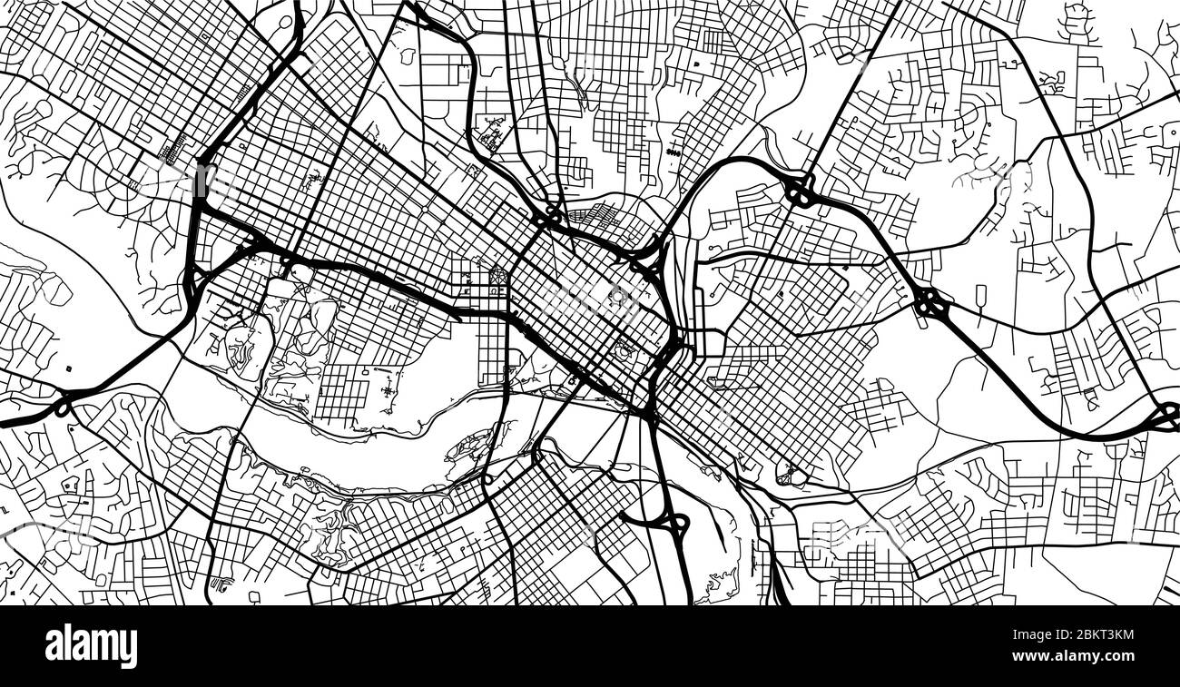 Urban vector city map of Richmond, USA. Virginia state capital Stock Vectorhttps://www.alamy.com/image-license-details/?v=1https://www.alamy.com/urban-vector-city-map-of-richmond-usa-virginia-state-capital-image356415576.html
RF2BKT3KM–Urban vector city map of Richmond, USA. Virginia state capital
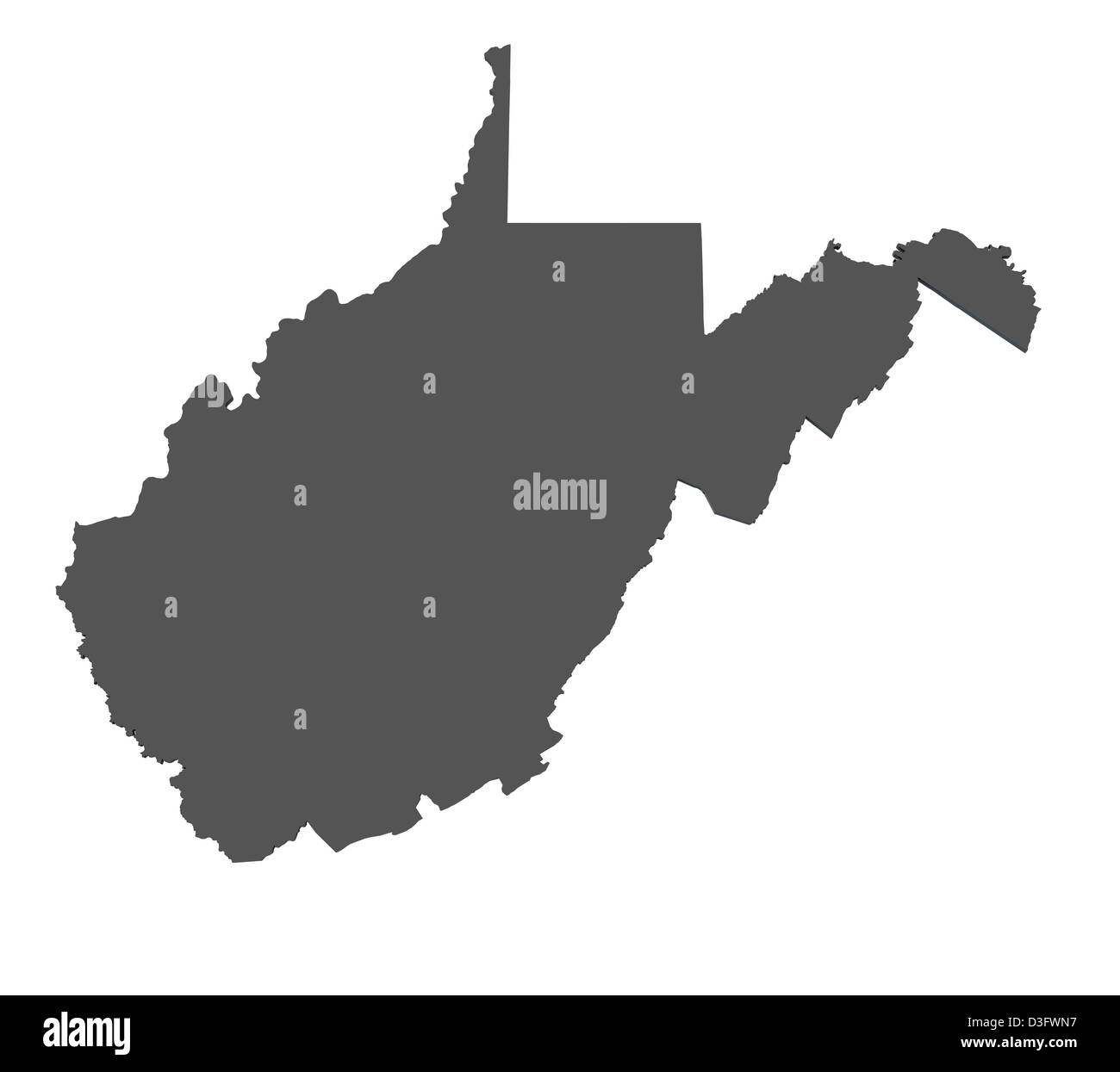 Map of the state of West Virginia - USA Stock Photohttps://www.alamy.com/image-license-details/?v=1https://www.alamy.com/stock-photo-map-of-the-state-of-west-virginia-usa-53824547.html
RFD3FWN7–Map of the state of West Virginia - USA
 West Virginia Stock Photohttps://www.alamy.com/image-license-details/?v=1https://www.alamy.com/stock-photo-west-virginia-134988056.html
RMHRH6J0–West Virginia
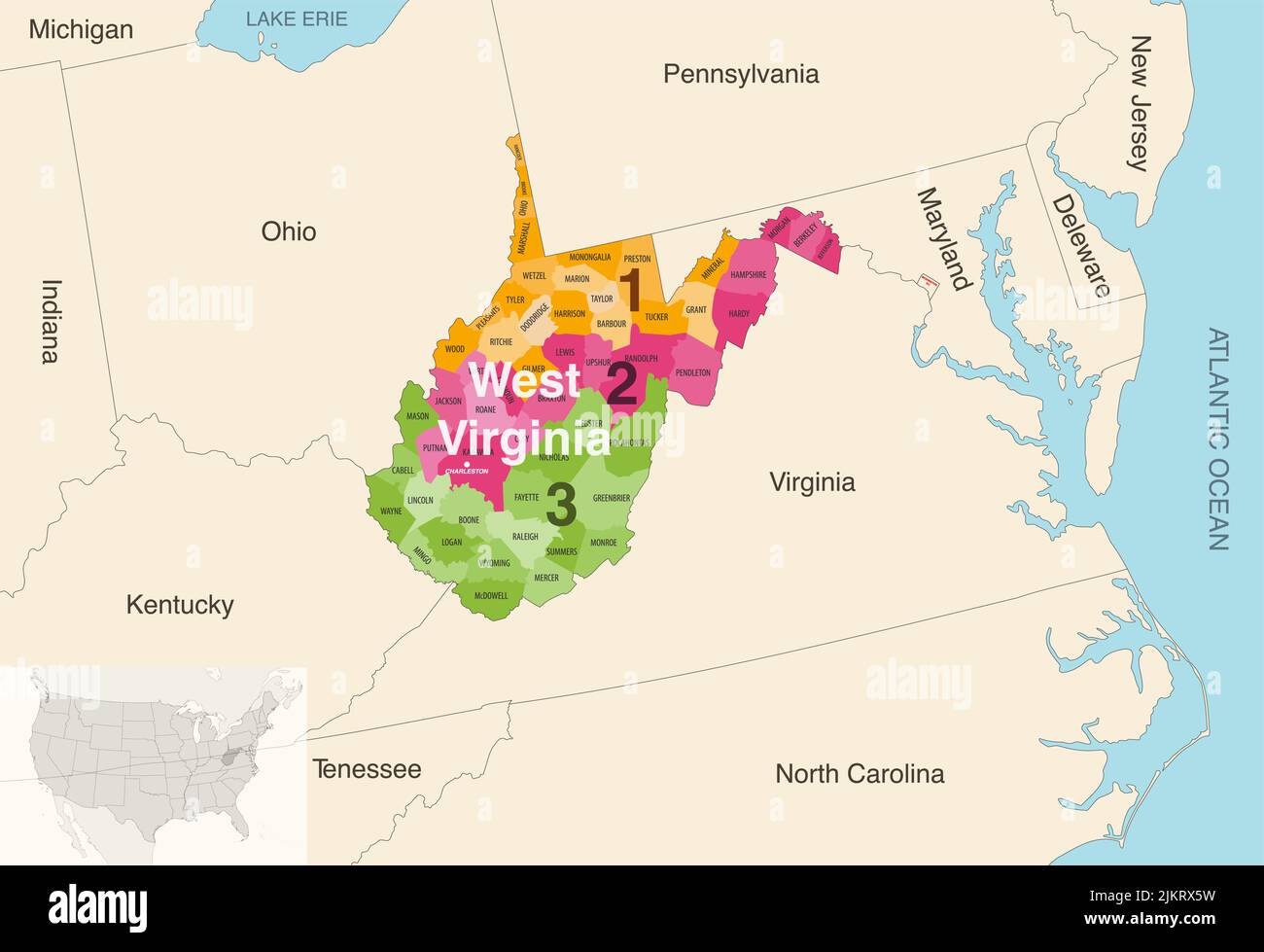 West Virginia state counties colored by congressional districts vector map with neighbouring states and terrotories Stock Vectorhttps://www.alamy.com/image-license-details/?v=1https://www.alamy.com/west-virginia-state-counties-colored-by-congressional-districts-vector-map-with-neighbouring-states-and-terrotories-image476883845.html
RF2JKRX5W–West Virginia state counties colored by congressional districts vector map with neighbouring states and terrotories
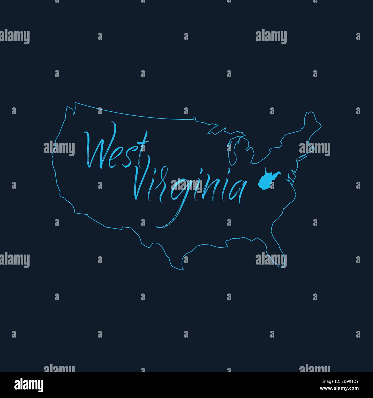 West Virginia state highlighted on United States of America map , USA infographics template. Stock vector illustration isolated on blue background. Stock Vectorhttps://www.alamy.com/image-license-details/?v=1https://www.alamy.com/west-virginia-state-highlighted-on-united-states-of-america-map-usa-infographics-template-stock-vector-illustration-isolated-on-blue-background-image384358743.html
RF2D991DY–West Virginia state highlighted on United States of America map , USA infographics template. Stock vector illustration isolated on blue background.
 West Virginia state map with Social Distancing stayathome tag Stock Vectorhttps://www.alamy.com/image-license-details/?v=1https://www.alamy.com/west-virginia-state-map-with-social-distancing-stayathome-tag-image351431713.html
RF2BBN2MH–West Virginia state map with Social Distancing stayathome tag
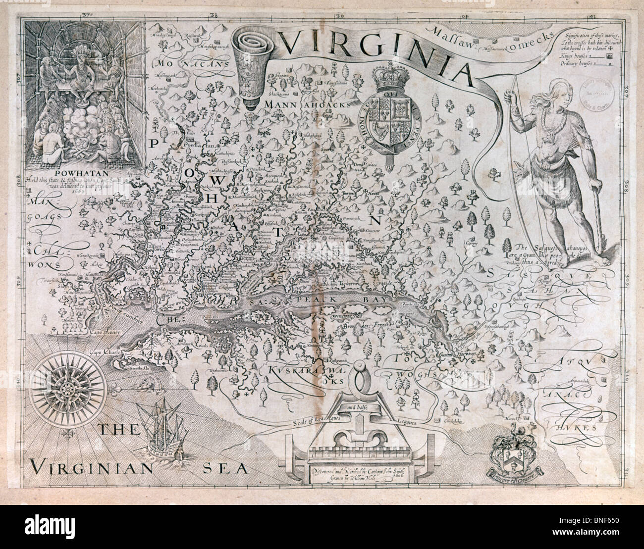 Virginia, map Stock Photohttps://www.alamy.com/image-license-details/?v=1https://www.alamy.com/stock-photo-virginia-map-30452268.html
RMBNF650–Virginia, map
 map of the U.S. state of Virginia Stock Vectorhttps://www.alamy.com/image-license-details/?v=1https://www.alamy.com/stock-photo-map-of-the-us-state-of-virginia-144503221.html
RFJB2K99–map of the U.S. state of Virginia
 map of the U.S. state of Virginia Stock Vectorhttps://www.alamy.com/image-license-details/?v=1https://www.alamy.com/map-of-the-us-state-of-virginia-image182556520.html
RFMH04KM–map of the U.S. state of Virginia
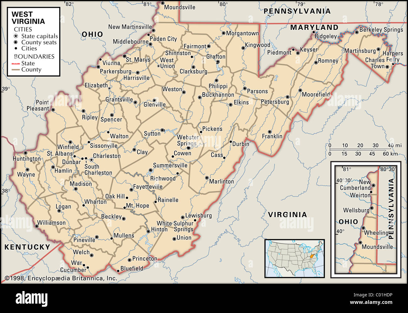 Political map of West Virginia Stock Photohttps://www.alamy.com/image-license-details/?v=1https://www.alamy.com/stock-photo-political-map-of-west-virginia-34456402.html
RMC01HDP–Political map of West Virginia
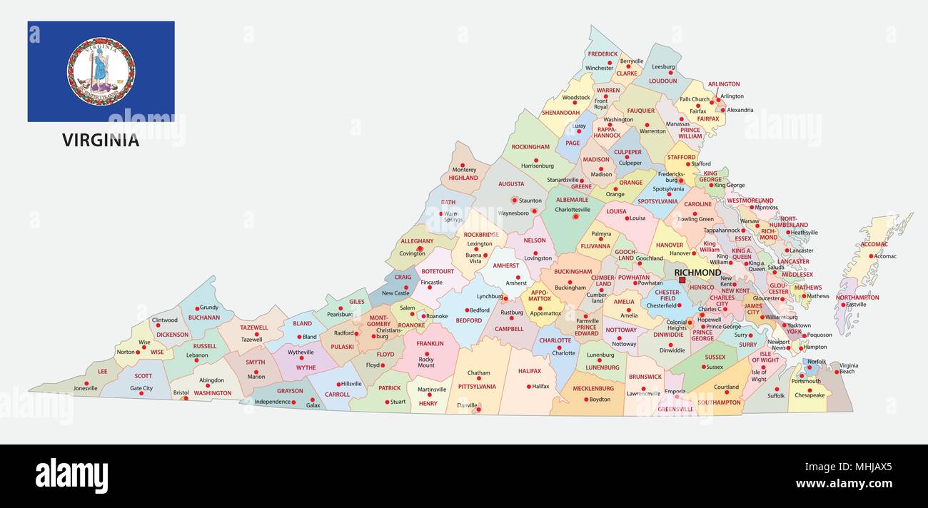 virginia administrative and political vector map with flag Stock Vectorhttps://www.alamy.com/image-license-details/?v=1https://www.alamy.com/virginia-administrative-and-political-vector-map-with-flag-image182956541.html
RFMHJAX5–virginia administrative and political vector map with flag
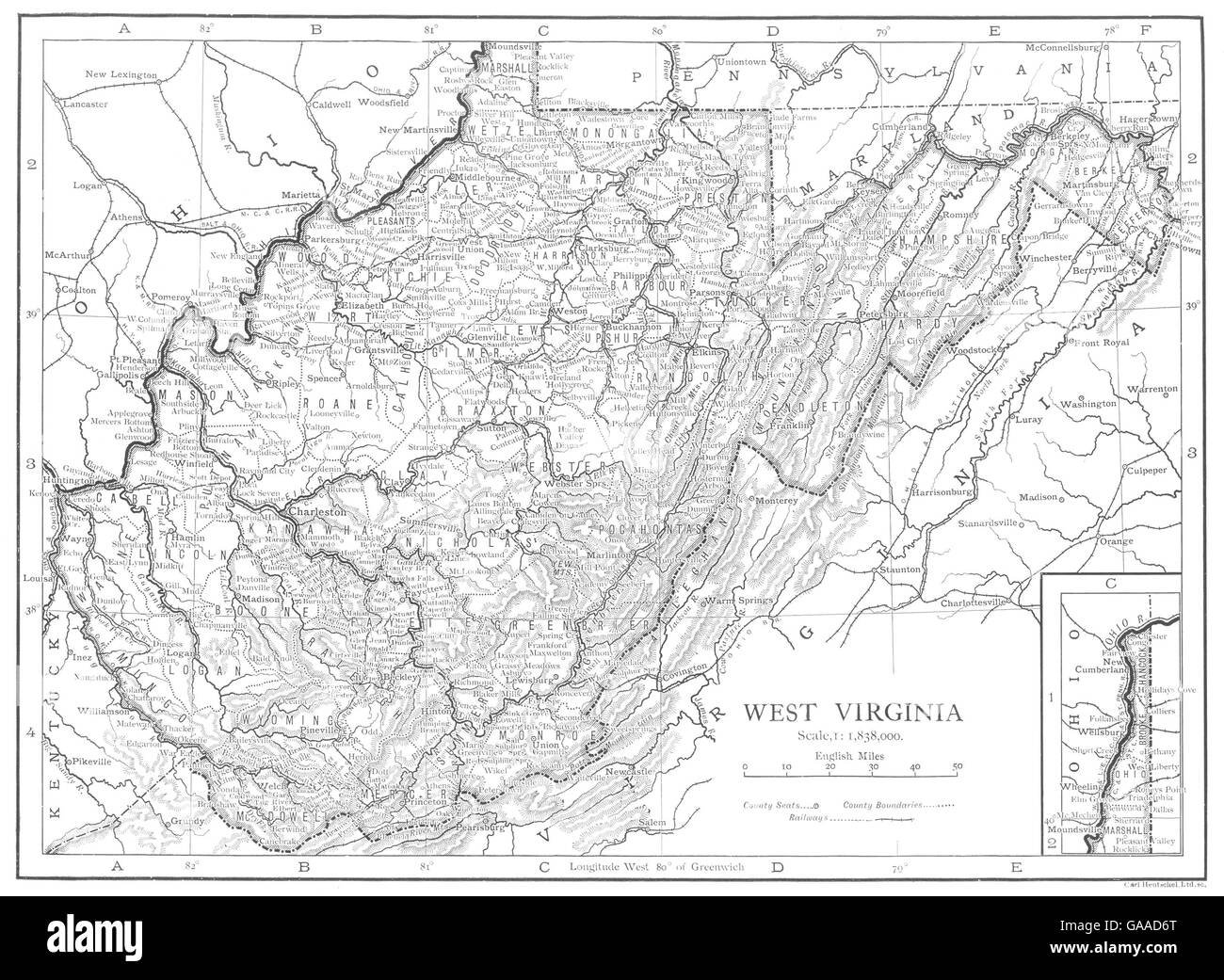 WEST VIRGINIA: West Virginia state map showing counties, 1910 Stock Photohttps://www.alamy.com/image-license-details/?v=1https://www.alamy.com/stock-photo-west-virginia-west-virginia-state-map-showing-counties-1910-109638672.html
RFGAAD6T–WEST VIRGINIA: West Virginia state map showing counties, 1910
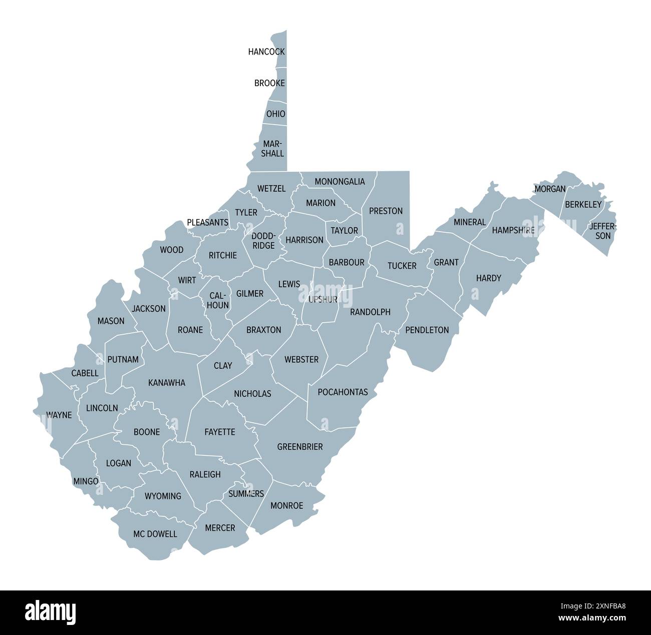 West Virginia counties, gray political map with borders and county names. Landlocked state in the Southeastern and Mid-Atlantic regions of USA. Stock Photohttps://www.alamy.com/image-license-details/?v=1https://www.alamy.com/west-virginia-counties-gray-political-map-with-borders-and-county-names-landlocked-state-in-the-southeastern-and-mid-atlantic-regions-of-usa-image615608848.html
RF2XNFBA8–West Virginia counties, gray political map with borders and county names. Landlocked state in the Southeastern and Mid-Atlantic regions of USA.
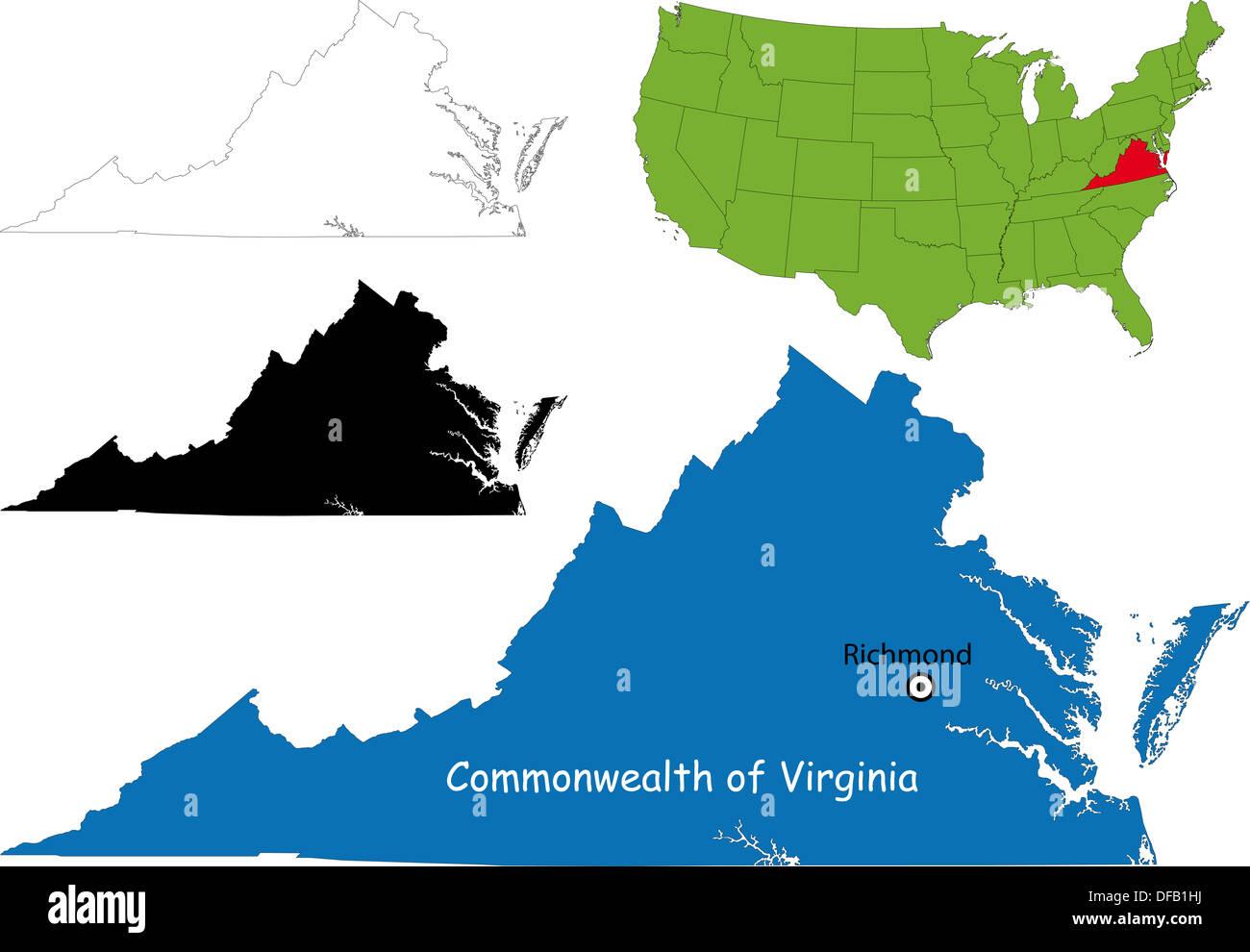 Virginia map Stock Photohttps://www.alamy.com/image-license-details/?v=1https://www.alamy.com/virginia-map-image61093694.html
RFDFB1HJ–Virginia map
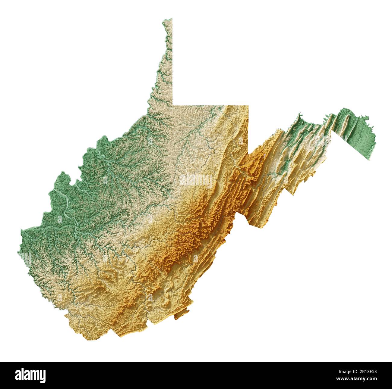 The US state of West Virginia. Detailed 3D rendering of shaded relief map with rivers and lakes. Colored by elevation. Created with satellite data. Stock Photohttps://www.alamy.com/image-license-details/?v=1https://www.alamy.com/the-us-state-of-west-virginia-detailed-3d-rendering-of-shaded-relief-map-with-rivers-and-lakes-colored-by-elevation-created-with-satellite-data-image551533167.html
RF2R18E53–The US state of West Virginia. Detailed 3D rendering of shaded relief map with rivers and lakes. Colored by elevation. Created with satellite data.
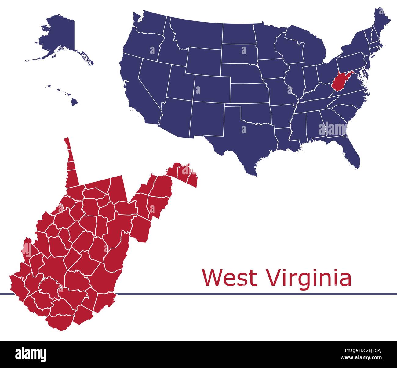 West Virginia counties vector map outline with USA map colors national flag Stock Vectorhttps://www.alamy.com/image-license-details/?v=1https://www.alamy.com/west-virginia-counties-vector-map-outline-with-usa-map-colors-national-flag-image407222442.html
RF2EJEGAJ–West Virginia counties vector map outline with USA map colors national flag
 A map of the state of Virginia created from a series of red dots over a white background Stock Photohttps://www.alamy.com/image-license-details/?v=1https://www.alamy.com/stock-photo-a-map-of-the-state-of-virginia-created-from-a-series-of-red-dots-over-88908876.html
RFF4J450–A map of the state of Virginia created from a series of red dots over a white background
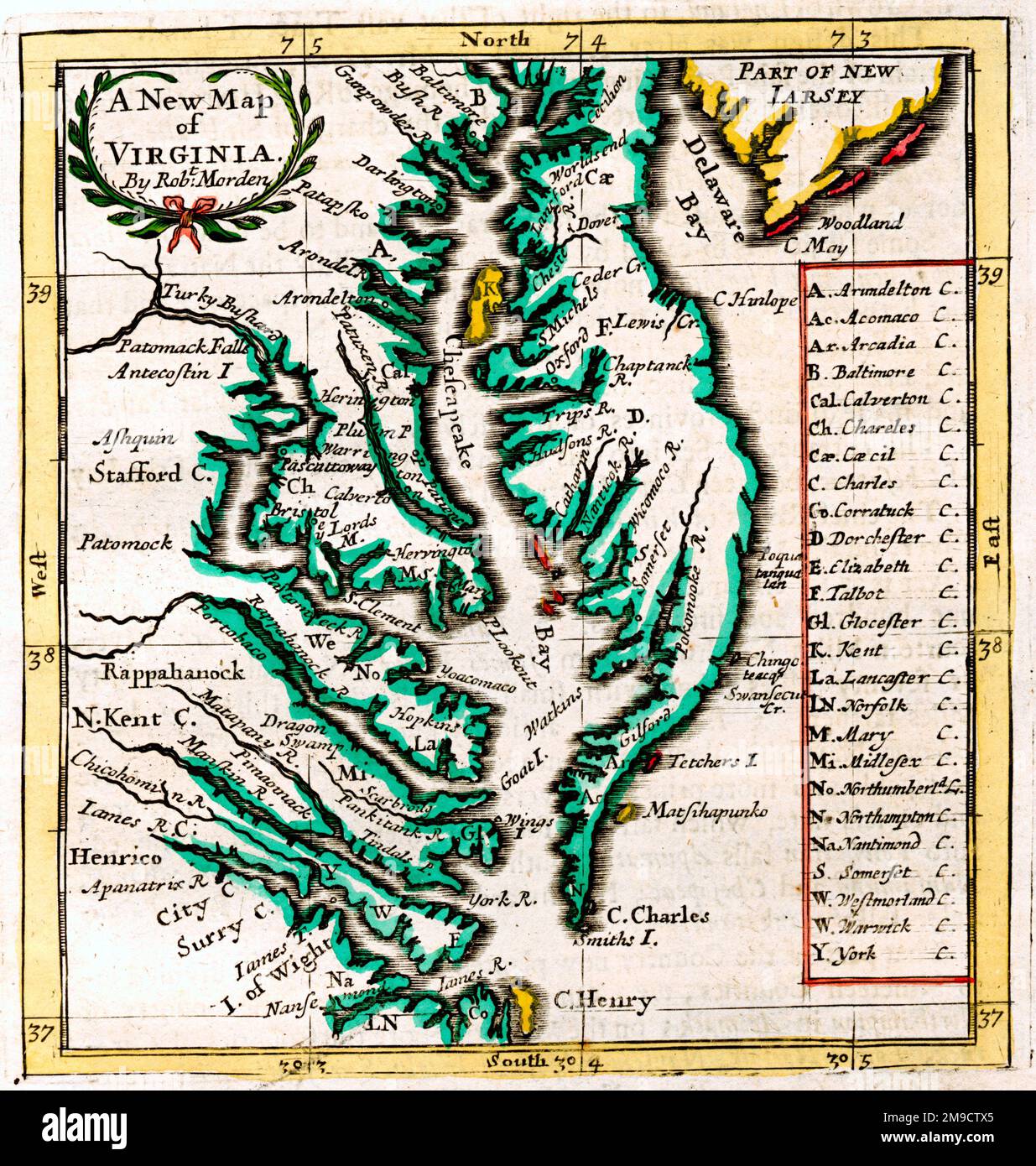 17th century Map of Virginia, America Stock Photohttps://www.alamy.com/image-license-details/?v=1https://www.alamy.com/17th-century-map-of-virginia-america-image504915549.html
RM2M9CTX5–17th century Map of Virginia, America
 West Virginia State Map and Flag Stock Vectorhttps://www.alamy.com/image-license-details/?v=1https://www.alamy.com/stock-photo-west-virginia-state-map-and-flag-81458643.html
RFEMEN97–West Virginia State Map and Flag
 Urban vector city map of Richmond, USA. Virginia state capital Stock Vectorhttps://www.alamy.com/image-license-details/?v=1https://www.alamy.com/urban-vector-city-map-of-richmond-usa-virginia-state-capital-image357064154.html
RF2BMWJY6–Urban vector city map of Richmond, USA. Virginia state capital
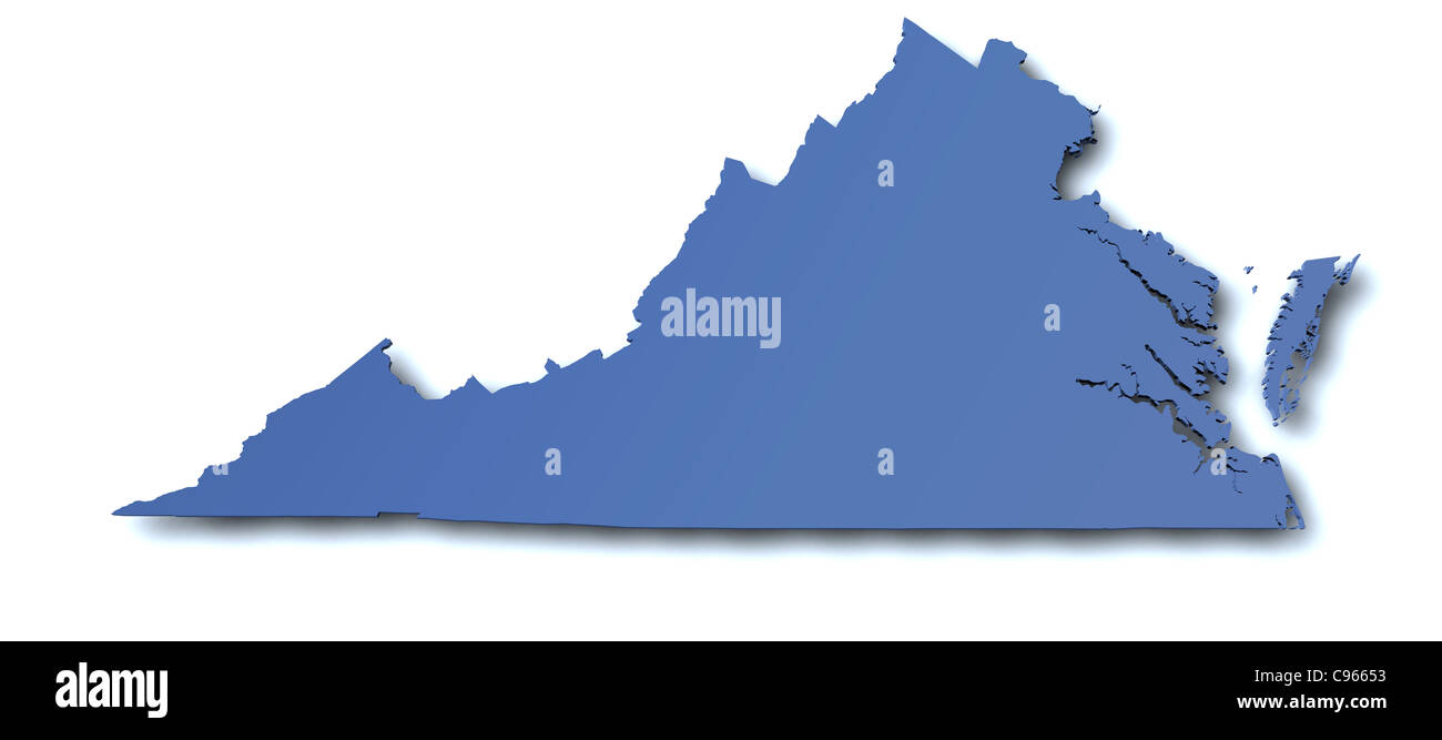 3d rendered map of the state of Virginia - USA Stock Photohttps://www.alamy.com/image-license-details/?v=1https://www.alamy.com/stock-photo-3d-rendered-map-of-the-state-of-virginia-usa-40089199.html
RFC96653–3d rendered map of the state of Virginia - USA
 Virginia state map. US state map. Virginia outline symbol. Vector illustration Stock Vectorhttps://www.alamy.com/image-license-details/?v=1https://www.alamy.com/virginia-state-map-us-state-map-virginia-outline-symbol-vector-illustration-image558914790.html
RF2RD8NEE–Virginia state map. US state map. Virginia outline symbol. Vector illustration
 Virginia state map polygonal illustration made of lines and dots, isolated on white background. US state low poly design Stock Photohttps://www.alamy.com/image-license-details/?v=1https://www.alamy.com/virginia-state-map-polygonal-illustration-made-of-lines-and-dots-isolated-on-white-background-us-state-low-poly-design-image596064066.html
RF2WHN1PA–Virginia state map polygonal illustration made of lines and dots, isolated on white background. US state low poly design
 19th century map of Virginia.Published in New Dollar Atlas of the United States and Dominion of Canada. (Rand McNally & Co's, Chicago, 1884). Stock Photohttps://www.alamy.com/image-license-details/?v=1https://www.alamy.com/19th-century-map-of-virginiapublished-in-new-dollar-atlas-of-the-united-states-and-dominion-of-canada-rand-mcnally-cos-chicago-1884-image385203936.html
RF2DAKFFC–19th century map of Virginia.Published in New Dollar Atlas of the United States and Dominion of Canada. (Rand McNally & Co's, Chicago, 1884).
 West Virginia Interstate road sign map Stock Photohttps://www.alamy.com/image-license-details/?v=1https://www.alamy.com/west-virginia-interstate-road-sign-map-image367792717.html
RF2CAABA5–West Virginia Interstate road sign map
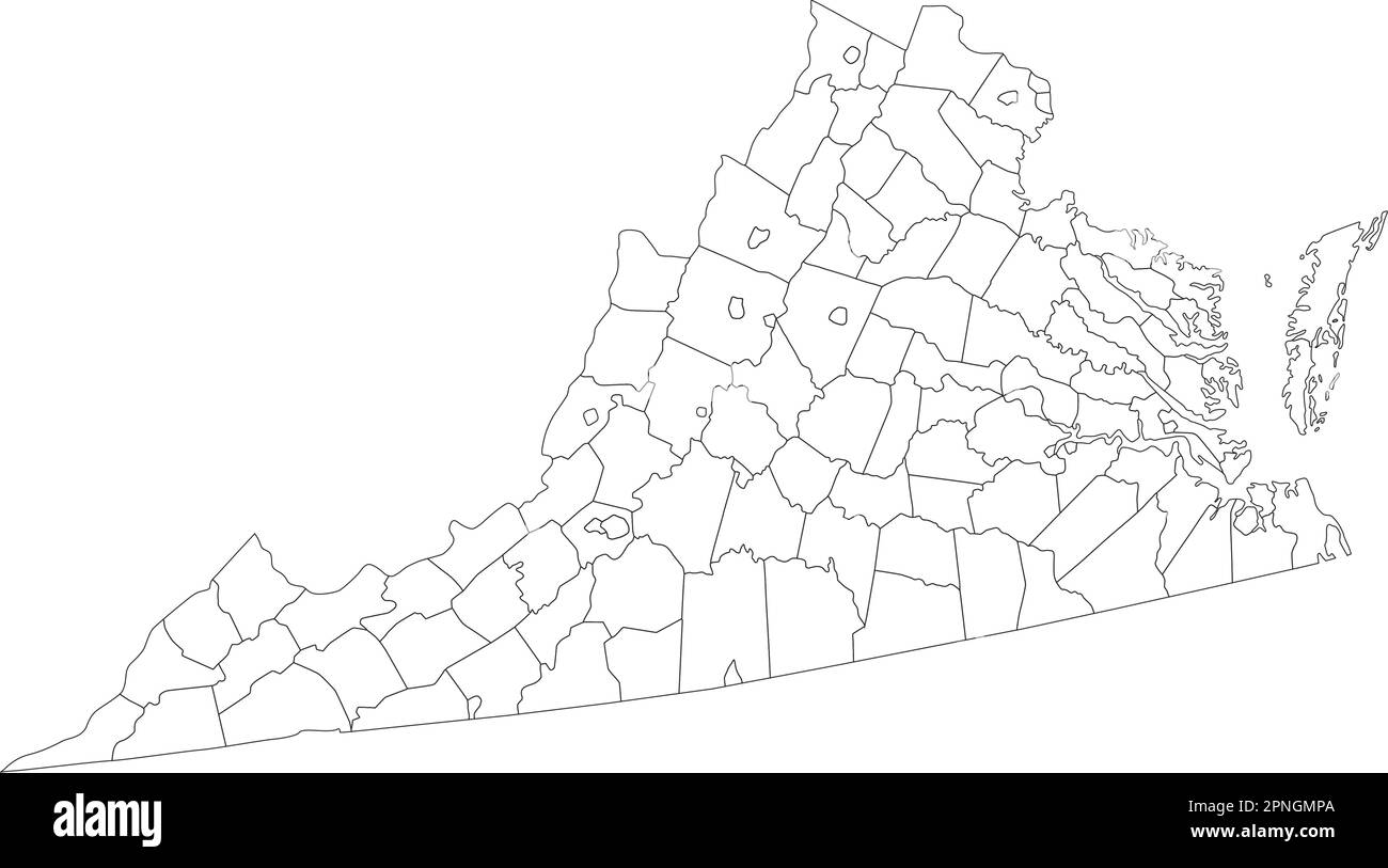 Highly Detailed Virginia Blind Map. Stock Vectorhttps://www.alamy.com/image-license-details/?v=1https://www.alamy.com/highly-detailed-virginia-blind-map-image546796722.html
RF2PNGMPA–Highly Detailed Virginia Blind Map.
 map of the U.S. state of Virginia Stock Vectorhttps://www.alamy.com/image-license-details/?v=1https://www.alamy.com/stock-photo-map-of-the-us-state-of-virginia-176232929.html
RFM6M2W5–map of the U.S. state of Virginia
 map of the U.S. state of West Virginia Stock Vectorhttps://www.alamy.com/image-license-details/?v=1https://www.alamy.com/map-of-the-us-state-of-west-virginia-image182556550.html
RFMH04MP–map of the U.S. state of West Virginia
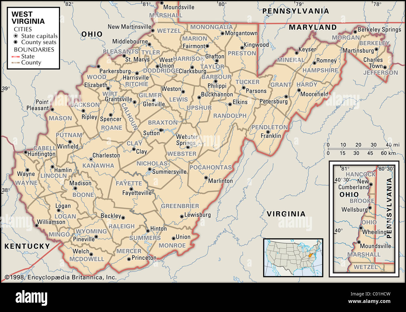 Political map of West Virginia Stock Photohttps://www.alamy.com/image-license-details/?v=1https://www.alamy.com/stock-photo-political-map-of-west-virginia-34456377.html
RMC01HCW–Political map of West Virginia
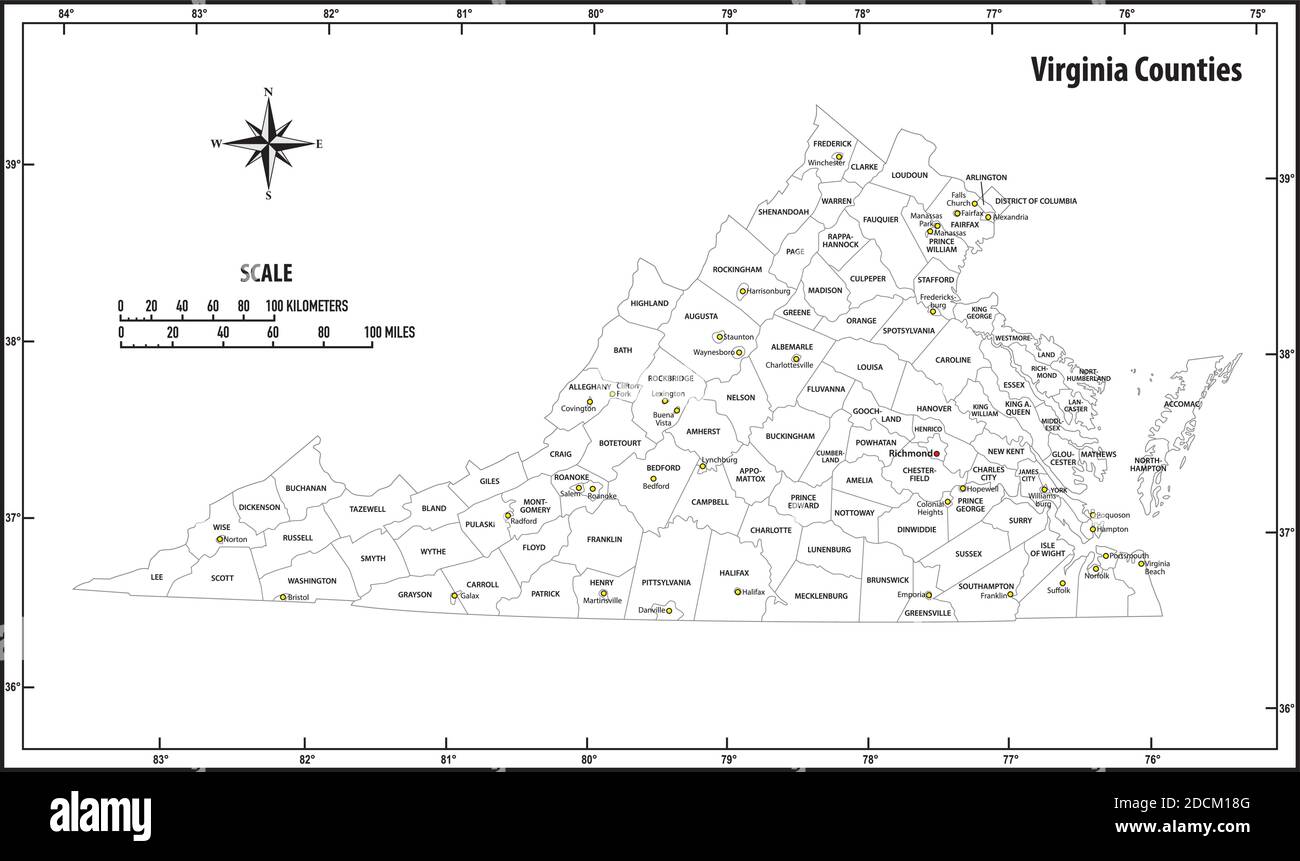 Virginia state outline administrative and political vector map in black and white Stock Vectorhttps://www.alamy.com/image-license-details/?v=1https://www.alamy.com/virginia-state-outline-administrative-and-political-vector-map-in-black-and-white-image386444032.html
RF2DCM18G–Virginia state outline administrative and political vector map in black and white
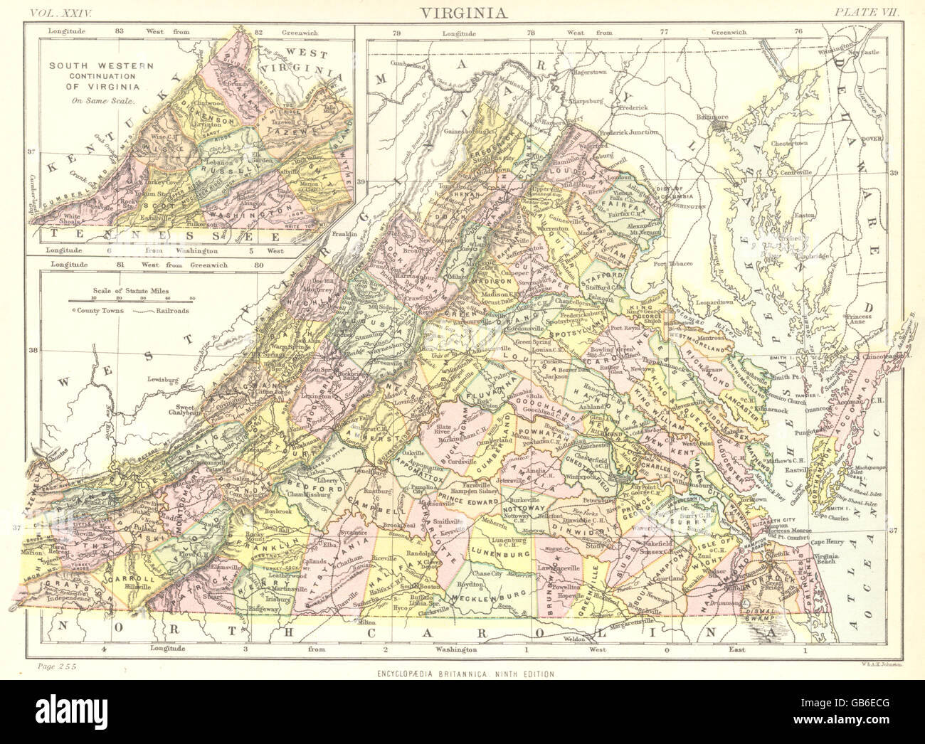 VIRGINIA: State map showing counties. Britannica 9th edition, 1898 Stock Photohttps://www.alamy.com/image-license-details/?v=1https://www.alamy.com/stock-photo-virginia-state-map-showing-counties-britannica-9th-edition-1898-110166464.html
RFGB6ECG–VIRGINIA: State map showing counties. Britannica 9th edition, 1898
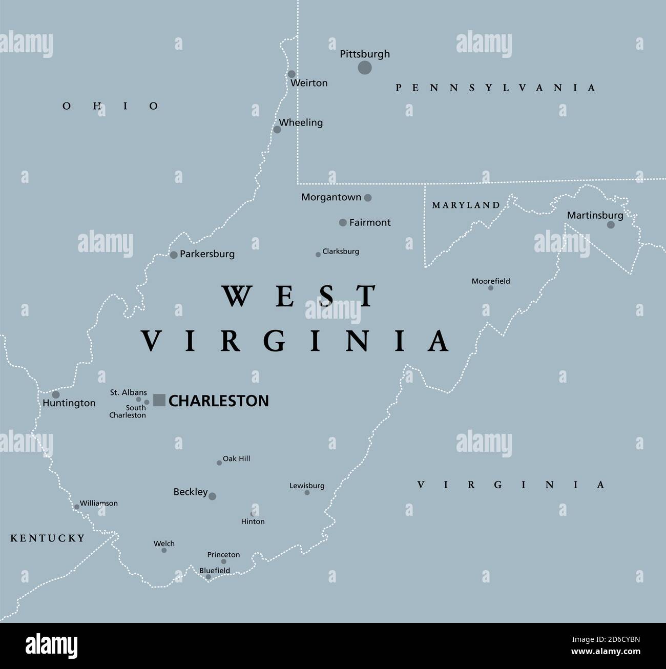 West Virginia, WV, gray political map. State in the Appalachian region of the Southern United States and in the Mid-Atlantic Southeast Region. Stock Photohttps://www.alamy.com/image-license-details/?v=1https://www.alamy.com/west-virginia-wv-gray-political-map-state-in-the-appalachian-region-of-the-southern-united-states-and-in-the-mid-atlantic-southeast-region-image382600953.html
RF2D6CYBN–West Virginia, WV, gray political map. State in the Appalachian region of the Southern United States and in the Mid-Atlantic Southeast Region.
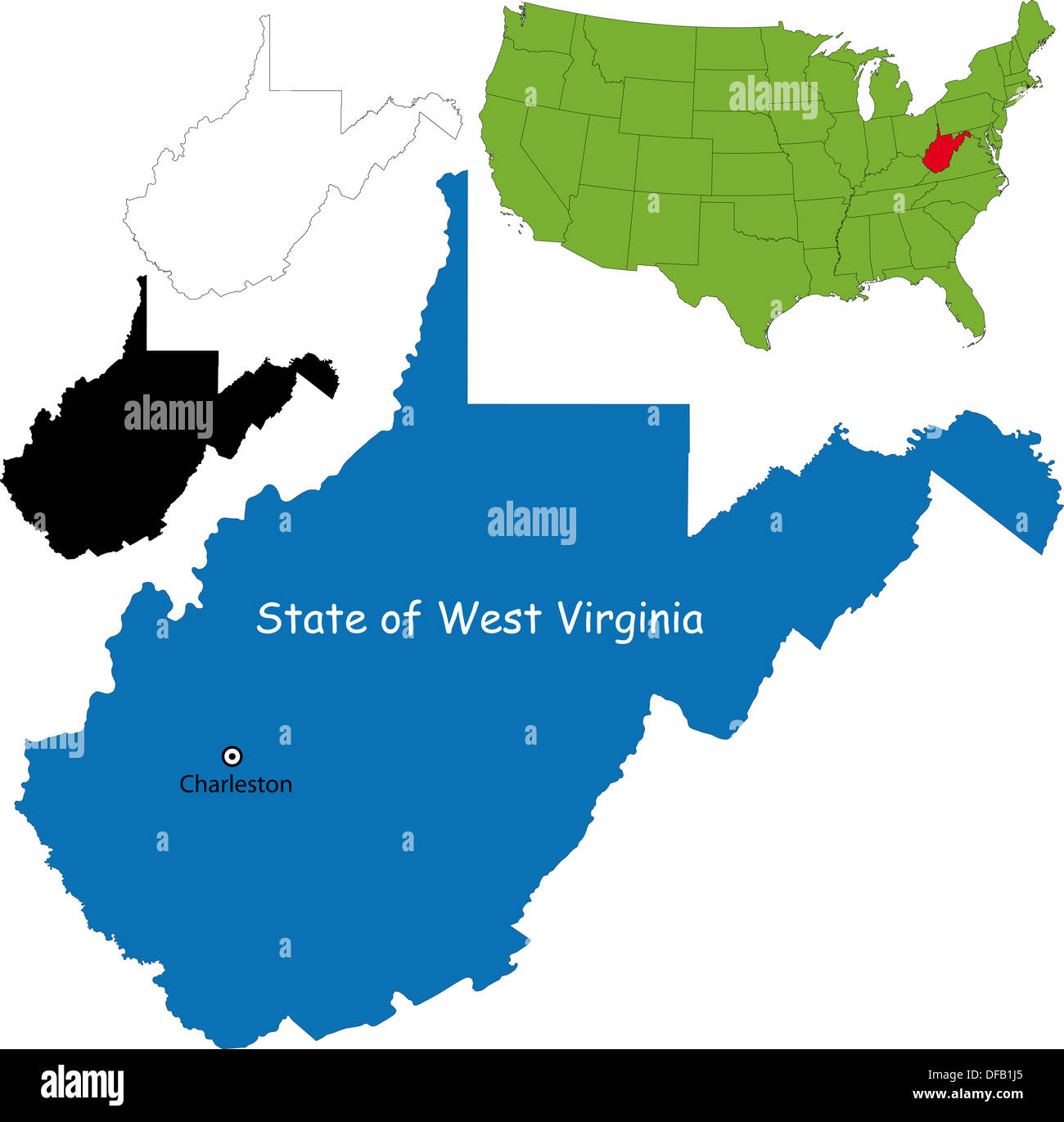 West virginia map Stock Photohttps://www.alamy.com/image-license-details/?v=1https://www.alamy.com/west-virginia-map-image61093709.html
RFDFB1J5–West virginia map
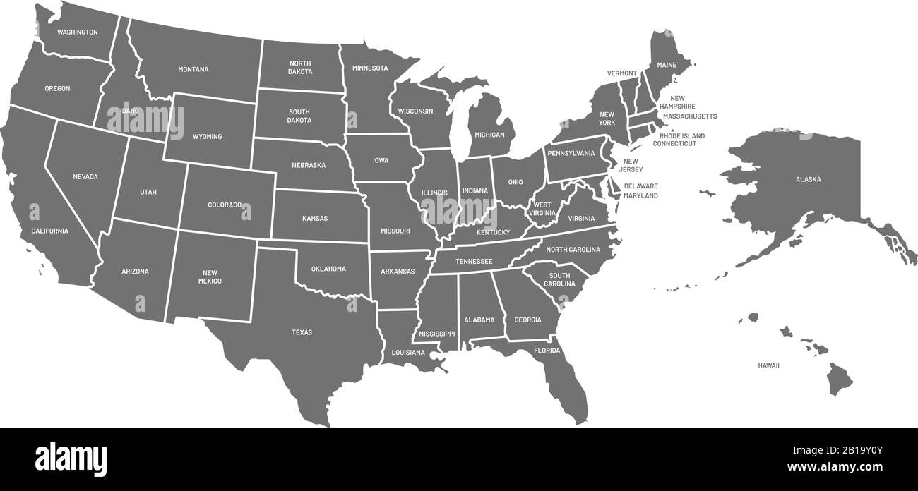 USA map. United States of America poster with state names. Geographic american maps including Alaska and Hawaii vector illustration Stock Vectorhttps://www.alamy.com/image-license-details/?v=1https://www.alamy.com/usa-map-united-states-of-america-poster-with-state-names-geographic-american-maps-including-alaska-and-hawaii-vector-illustration-image345040779.html
RF2B19Y0Y–USA map. United States of America poster with state names. Geographic american maps including Alaska and Hawaii vector illustration
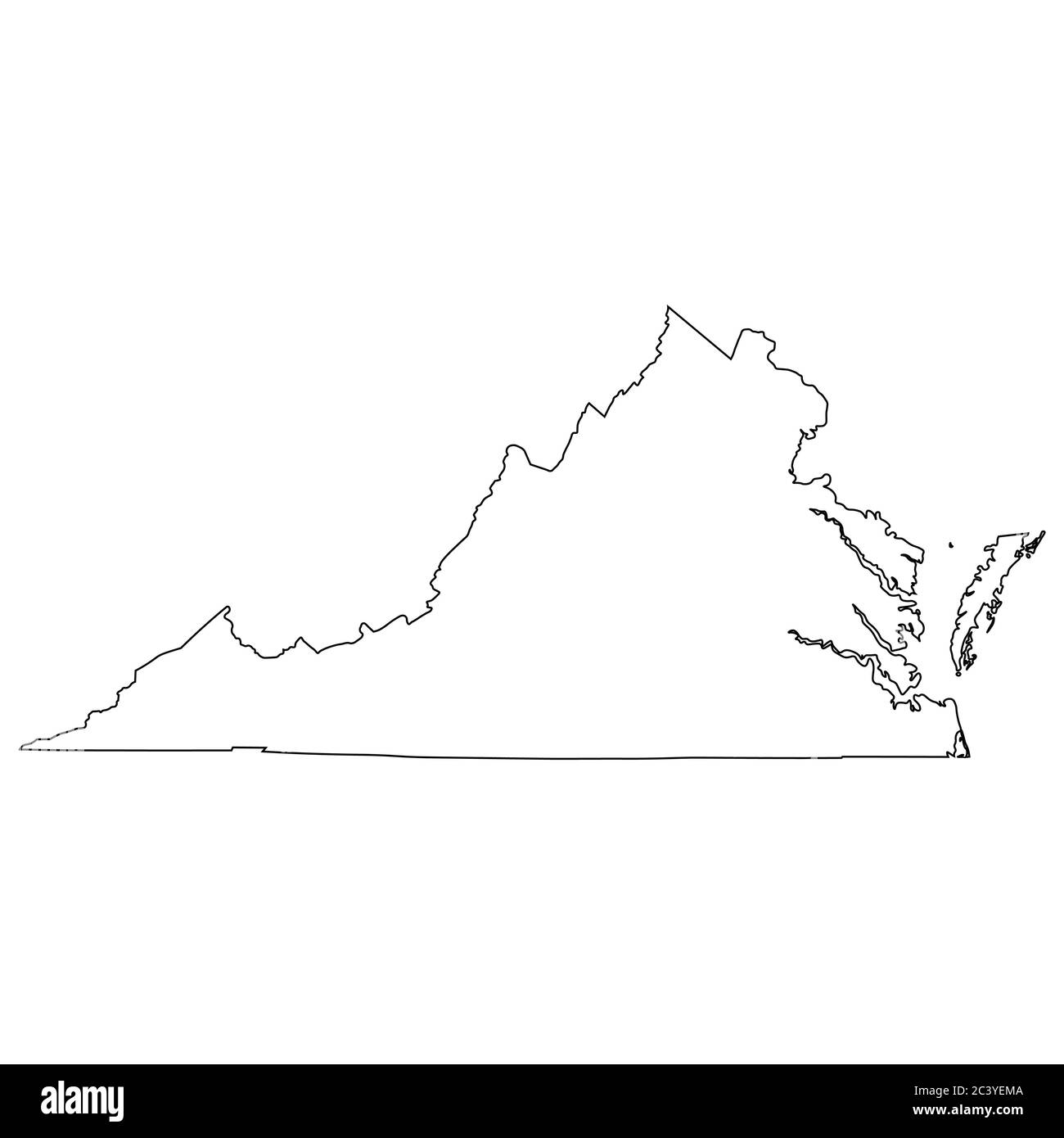 Virginia VA state Map USA. Black outline map isolated on a white background. EPS Vector Stock Vectorhttps://www.alamy.com/image-license-details/?v=1https://www.alamy.com/virginia-va-state-map-usa-black-outline-map-isolated-on-a-white-background-eps-vector-image363865946.html
RF2C3YEMA–Virginia VA state Map USA. Black outline map isolated on a white background. EPS Vector