Quick filters:
Volcano range Stock Photos and Images
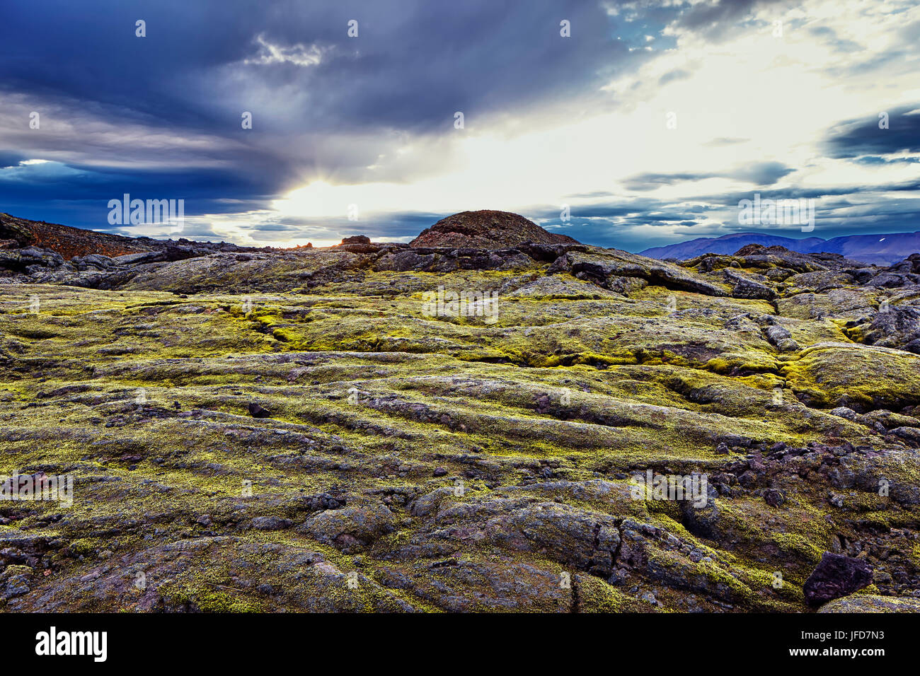 Volcano Leirhnjúkur, Krafla Volcano Range, Reykjahlíð, Mývatni, Island Stock Photohttps://www.alamy.com/image-license-details/?v=1https://www.alamy.com/stock-photo-volcano-leirhnjkur-krafla-volcano-range-reykjahl-mvatni-island-147194239.html
RFJFD7N3–Volcano Leirhnjúkur, Krafla Volcano Range, Reykjahlíð, Mývatni, Island
 Mount Nyiragongo smoking - one of several active volcanoes in the Virunga Massif Volcano Range, Democratic Republic of Congo, Africa. July 2016 Stock Photohttps://www.alamy.com/image-license-details/?v=1https://www.alamy.com/mount-nyiragongo-smoking-one-of-several-active-volcanoes-in-the-virunga-image156417341.html
RMK2DBWH–Mount Nyiragongo smoking - one of several active volcanoes in the Virunga Massif Volcano Range, Democratic Republic of Congo, Africa. July 2016
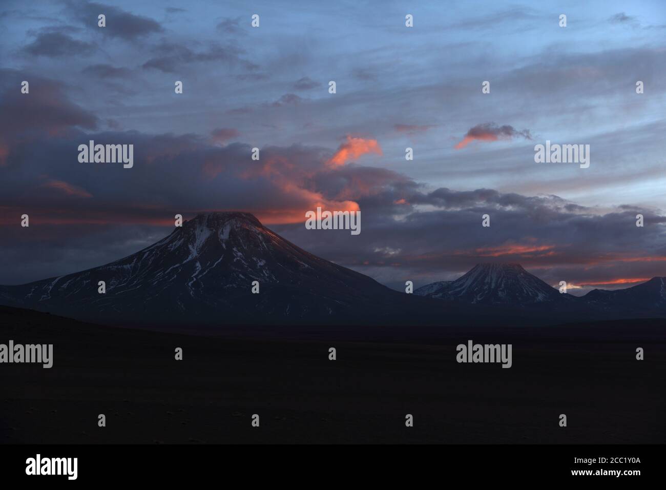 Chile, View of Lascar Volcano range Stock Photohttps://www.alamy.com/image-license-details/?v=1https://www.alamy.com/chile-view-of-lascar-volcano-range-image368836730.html
RF2CC1Y0A–Chile, View of Lascar Volcano range
 A barren yet colorful landscape with a road leading into the distance near Uyuni, Bolivia Stock Photohttps://www.alamy.com/image-license-details/?v=1https://www.alamy.com/stock-photo-a-barren-yet-colorful-landscape-with-a-road-leading-into-the-distance-78499246.html
RFEFKXGE–A barren yet colorful landscape with a road leading into the distance near Uyuni, Bolivia
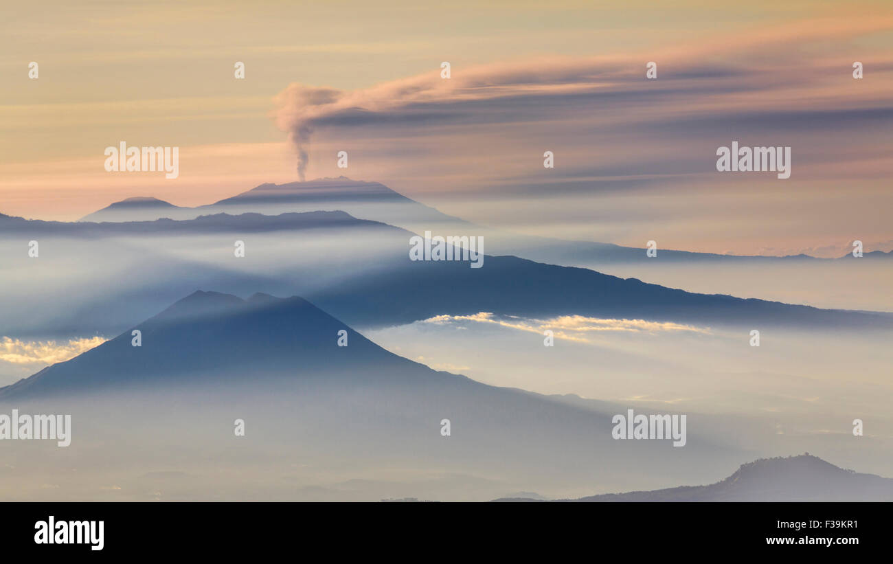 Mountain range and Active Volcano at dawn, East Java, Indonesia Stock Photohttps://www.alamy.com/image-license-details/?v=1https://www.alamy.com/stock-photo-mountain-range-and-active-volcano-at-dawn-east-java-indonesia-88108917.html
RFF39KR1–Mountain range and Active Volcano at dawn, East Java, Indonesia
 Long exposure photograph of the Pichincha volcano at sunset seen from the city of Quito, Ecuador, South America. Stock Photohttps://www.alamy.com/image-license-details/?v=1https://www.alamy.com/long-exposure-photograph-of-the-pichincha-volcano-at-sunset-seen-from-image159529299.html
RMK7F56Y–Long exposure photograph of the Pichincha volcano at sunset seen from the city of Quito, Ecuador, South America.
 landscape with wheat field and blue sky and volcano mountains Stock Photohttps://www.alamy.com/image-license-details/?v=1https://www.alamy.com/landscape-with-wheat-field-and-blue-sky-and-volcano-mountains-image341487976.html
RF2ARG3B4–landscape with wheat field and blue sky and volcano mountains
 France, Puy-de-Dome (63), Chaines des Puys, le Traversin, Puy Pariou and Puy des Goules, view from the top of the former Puy-de-Dome volcano Stock Photohttps://www.alamy.com/image-license-details/?v=1https://www.alamy.com/france-puy-de-dome-63-chaines-des-puys-le-traversin-puy-pariou-and-puy-des-goules-view-from-the-top-of-the-former-puy-de-dome-volcano-image636919973.html
RM2S065WW–France, Puy-de-Dome (63), Chaines des Puys, le Traversin, Puy Pariou and Puy des Goules, view from the top of the former Puy-de-Dome volcano
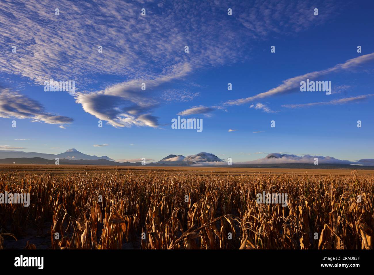 Valley planted with corn with the volcano range at the bottom Stock Photohttps://www.alamy.com/image-license-details/?v=1https://www.alamy.com/valley-planted-with-corn-with-the-volcano-range-at-the-bottom-image557170083.html
RF2RAD83F–Valley planted with corn with the volcano range at the bottom
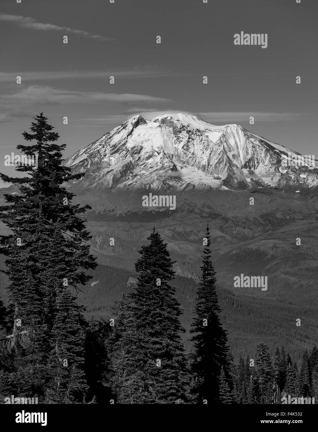 GIFFORD PINCHOT NATIONAL FOREST, WASHINGTON, USA - Mount Adams, elevation 12,281 ft (3,743 m), glaciated mountain, Cascade Range Stock Photohttps://www.alamy.com/image-license-details/?v=1https://www.alamy.com/stock-photo-gifford-pinchot-national-forest-washington-usa-mount-adams-elevation-88931558.html
RMF4K532–GIFFORD PINCHOT NATIONAL FOREST, WASHINGTON, USA - Mount Adams, elevation 12,281 ft (3,743 m), glaciated mountain, Cascade Range
 View of Halemaumau Crater, part of Kilauea Volcano, Hawaii, USA Stock Photohttps://www.alamy.com/image-license-details/?v=1https://www.alamy.com/view-of-halemaumau-crater-part-of-kilauea-volcano-hawaii-usa-image365285112.html
RM2C684TT–View of Halemaumau Crater, part of Kilauea Volcano, Hawaii, USA
 Majestic mountain volcano range with rocky hills impressive landscape Stock Photohttps://www.alamy.com/image-license-details/?v=1https://www.alamy.com/majestic-mountain-volcano-range-with-rocky-hills-impressive-landscape-image563296808.html
RF2RMCAR4–Majestic mountain volcano range with rocky hills impressive landscape
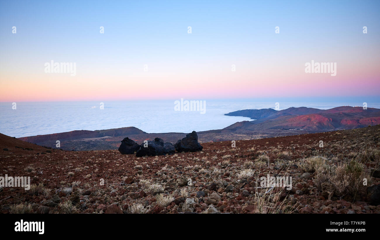 View from Teide Volcano at dusk, Tenerife, Spain. Stock Photohttps://www.alamy.com/image-license-details/?v=1https://www.alamy.com/view-from-teide-volcano-at-dusk-tenerife-spain-image245855971.html
RFT7YKPB–View from Teide Volcano at dusk, Tenerife, Spain.
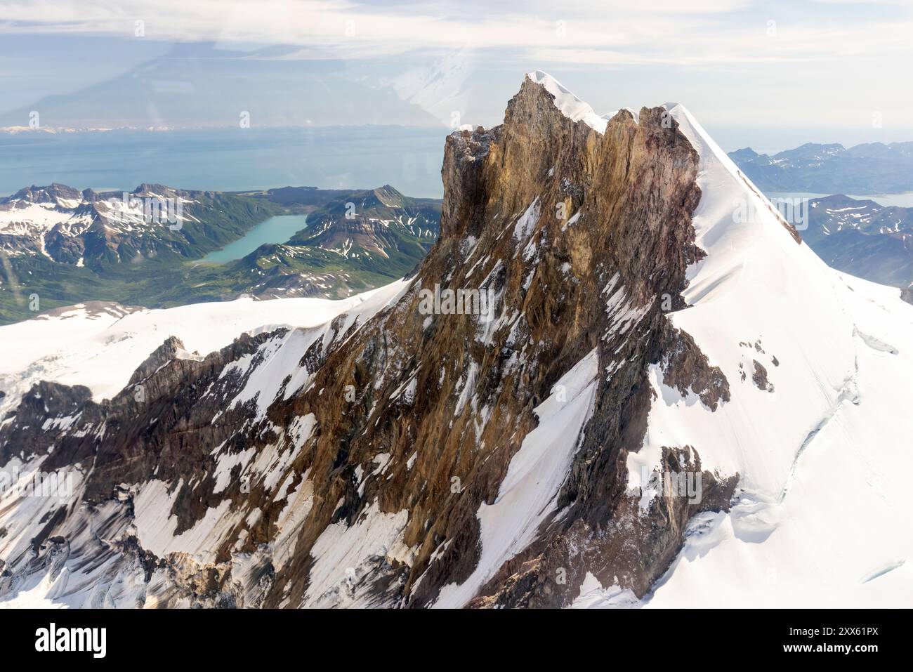 Aerial view of Mount Iliamna (or Iliamna Volcano) in the Chigmit Mountain Range - Lake Clark National Park and Preserve, Alaska Stock Photohttps://www.alamy.com/image-license-details/?v=1https://www.alamy.com/aerial-view-of-mount-iliamna-or-iliamna-volcano-in-the-chigmit-mountain-range-lake-clark-national-park-and-preserve-alaska-image618477074.html
RF2XX61PX–Aerial view of Mount Iliamna (or Iliamna Volcano) in the Chigmit Mountain Range - Lake Clark National Park and Preserve, Alaska
 Thrihnukagigur volcano, Strompahraun, Blafjoll mountain range, Reykjavik, Iceland Stock Photohttps://www.alamy.com/image-license-details/?v=1https://www.alamy.com/stock-photo-thrihnukagigur-volcano-strompahraun-blafjoll-mountain-range-reykjavik-115854684.html
RFGMDHR8–Thrihnukagigur volcano, Strompahraun, Blafjoll mountain range, Reykjavik, Iceland
 landscape with mountains and volcano in Iran Stock Photohttps://www.alamy.com/image-license-details/?v=1https://www.alamy.com/stock-photo-landscape-with-mountains-and-volcano-in-iran-113494450.html
RFGGJ396–landscape with mountains and volcano in Iran
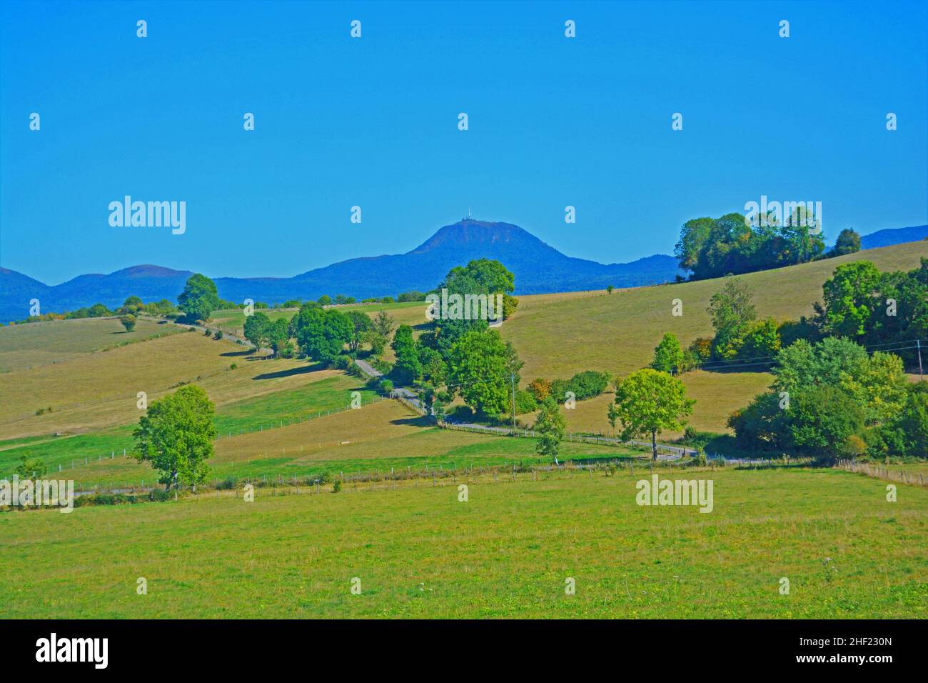 The Puy de Dome peak ( West Face), Auvergne-Rhone-Alpes region, Massif-Central, France Stock Photohttps://www.alamy.com/image-license-details/?v=1https://www.alamy.com/the-puy-de-dome-peak-west-face-auvergne-rhone-alpes-region-massif-central-france-image456735685.html
RM2HF230N–The Puy de Dome peak ( West Face), Auvergne-Rhone-Alpes region, Massif-Central, France
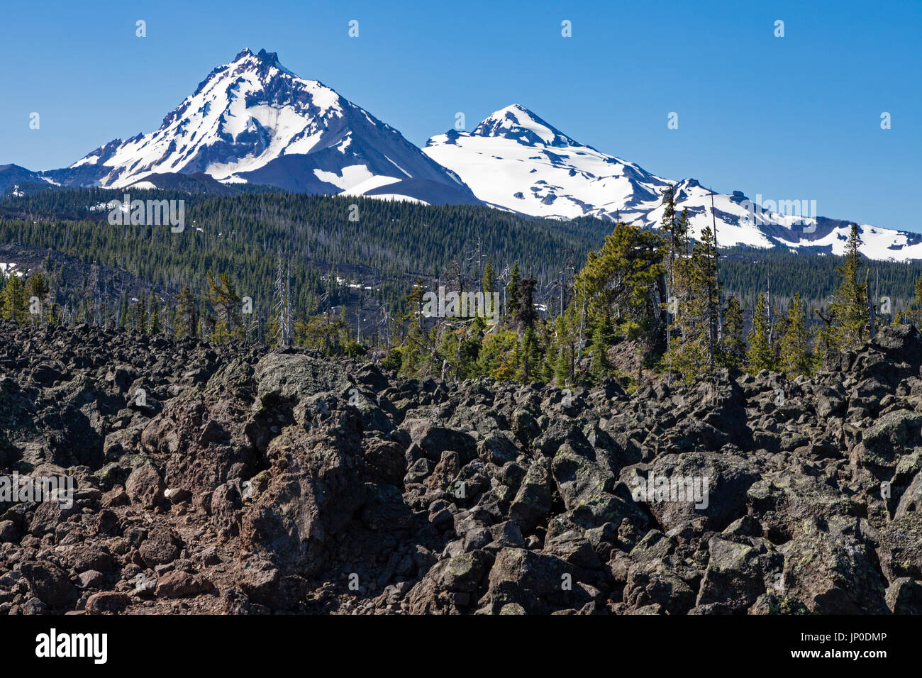 Three Sisters are a complex volcano of three volcanic peaks of the Cascade Volcanic Arc and the Cascade Range in Oregon. Stock Photohttps://www.alamy.com/image-license-details/?v=1https://www.alamy.com/three-sisters-are-a-complex-volcano-of-three-volcanic-peaks-of-the-image151216150.html
RMJP0DMP–Three Sisters are a complex volcano of three volcanic peaks of the Cascade Volcanic Arc and the Cascade Range in Oregon.
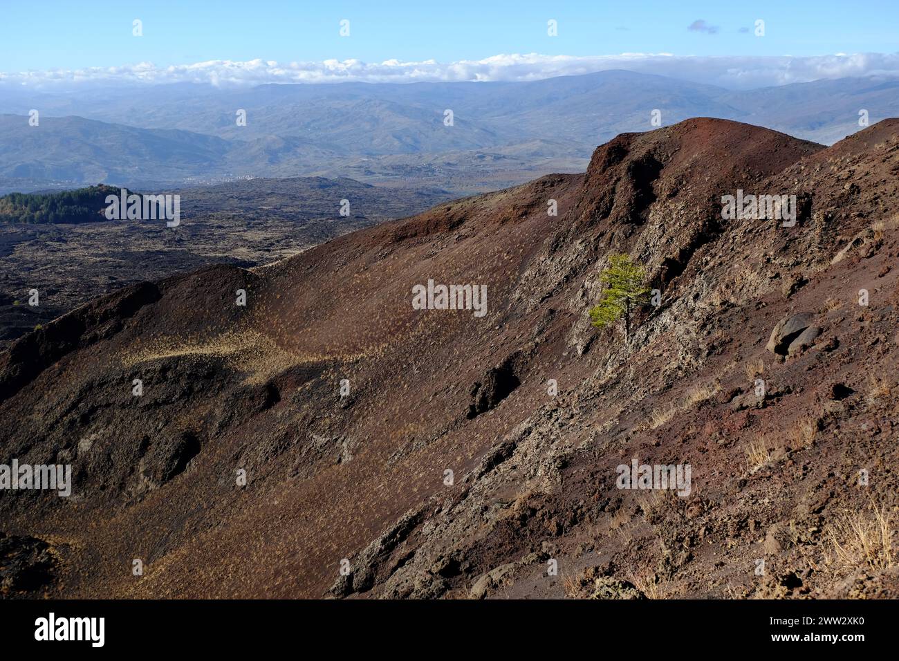 extinct volcano crater with lone pine tree in Etna Park and mountain range at the horizon, Sicily, Italy Stock Photohttps://www.alamy.com/image-license-details/?v=1https://www.alamy.com/extinct-volcano-crater-with-lone-pine-tree-in-etna-park-and-mountain-range-at-the-horizon-sicily-italy-image600583732.html
RM2WW2XK0–extinct volcano crater with lone pine tree in Etna Park and mountain range at the horizon, Sicily, Italy
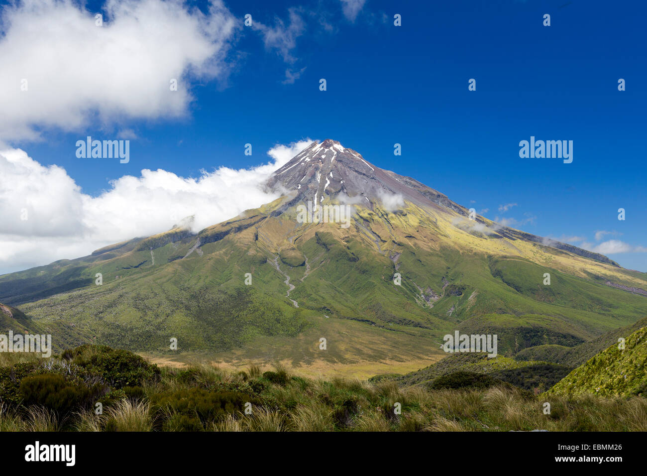 Mount Taranaki volcano, Pouakai Range, Egmont National Park, Taranaki Region, New Zealand Stock Photohttps://www.alamy.com/image-license-details/?v=1https://www.alamy.com/stock-photo-mount-taranaki-volcano-pouakai-range-egmont-national-park-taranaki-76057470.html
RFEBMM26–Mount Taranaki volcano, Pouakai Range, Egmont National Park, Taranaki Region, New Zealand
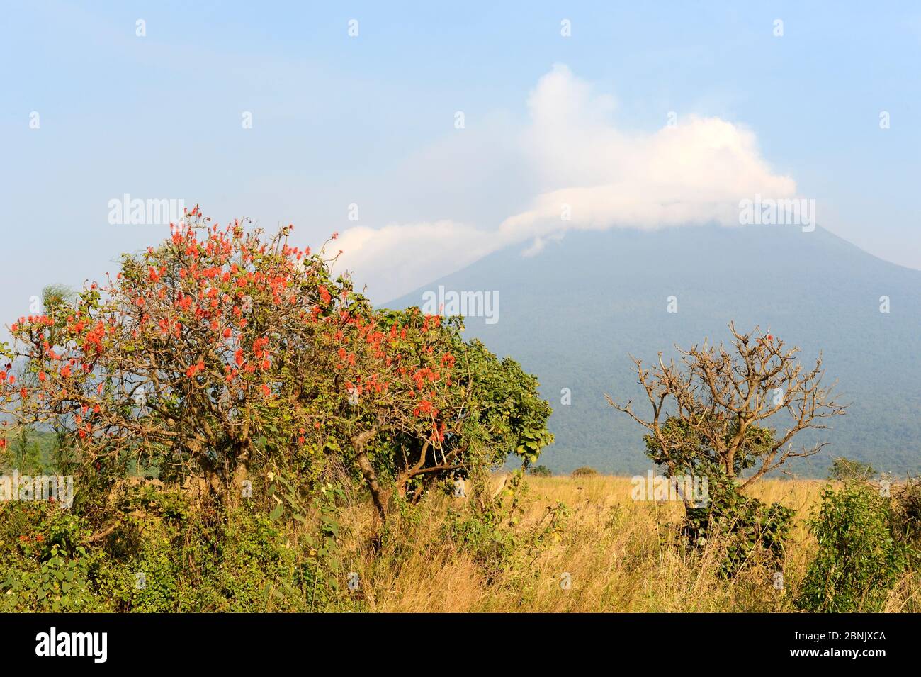 Mount Nyiragongo smoking - one of several active volcanoes in the Virunga Massif Volcano Range, Democratic Republic of Congo, Africa. July 2016 Stock Photohttps://www.alamy.com/image-license-details/?v=1https://www.alamy.com/mount-nyiragongo-smoking-one-of-several-active-volcanoes-in-the-virunga-massif-volcano-range-democratic-republic-of-congo-africa-july-2016-image357531002.html
RM2BNJXCA–Mount Nyiragongo smoking - one of several active volcanoes in the Virunga Massif Volcano Range, Democratic Republic of Congo, Africa. July 2016
 Chile, View of San Pedro volcano range Stock Photohttps://www.alamy.com/image-license-details/?v=1https://www.alamy.com/chile-view-of-san-pedro-volcano-range-image368840720.html
RF2CC242T–Chile, View of San Pedro volcano range
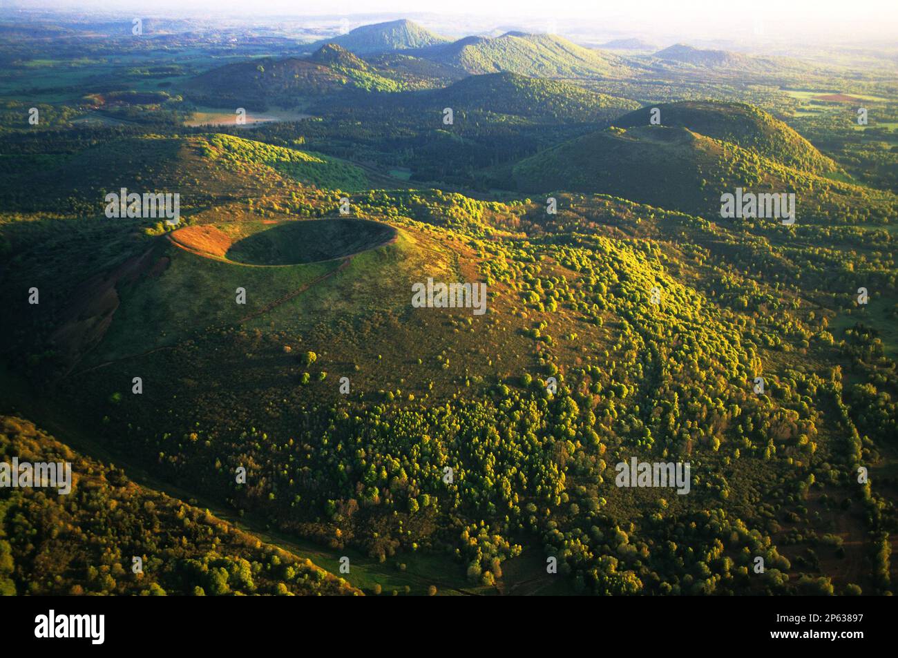 FRANCE. PUY DE DOME (63) VOLCANO RANGE, PARIOU VOLCANO Stock Photohttps://www.alamy.com/image-license-details/?v=1https://www.alamy.com/france-puy-de-dome-63-volcano-range-pariou-volcano-image537281731.html
RM2P63897–FRANCE. PUY DE DOME (63) VOLCANO RANGE, PARIOU VOLCANO
 FRANCE. PUY DE DOME (63) VOLCANO RANGE, PARIOU VOLCANO Stock Photohttps://www.alamy.com/image-license-details/?v=1https://www.alamy.com/france-puy-de-dome-63-volcano-range-pariou-volcano-image449547764.html
RM2H3AJN8–FRANCE. PUY DE DOME (63) VOLCANO RANGE, PARIOU VOLCANO
 Reflection of the Osorno volcano at sunset in the All Saints Lake (Lago Todos los Santos) near Puerto Varas, Lake District, Chile. Stock Photohttps://www.alamy.com/image-license-details/?v=1https://www.alamy.com/reflection-of-the-osorno-volcano-at-sunset-in-the-all-saints-lake-lago-todos-los-santos-near-puerto-varas-lake-district-chile-image180464814.html
RMMDGTKX–Reflection of the Osorno volcano at sunset in the All Saints Lake (Lago Todos los Santos) near Puerto Varas, Lake District, Chile.
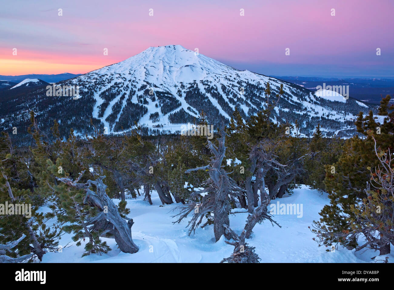 volcano vulcan peak mountain Cascade Range Oregon OR USA America United States winter ski skiing ski resort trail trails t Stock Photohttps://www.alamy.com/image-license-details/?v=1https://www.alamy.com/volcano-vulcan-peak-mountain-cascade-range-oregon-or-usa-america-united-image68452854.html
RMDYA88P–volcano vulcan peak mountain Cascade Range Oregon OR USA America United States winter ski skiing ski resort trail trails t
 Mount Teide volcano, Tenerife, Canary Islands, Spain Stock Photohttps://www.alamy.com/image-license-details/?v=1https://www.alamy.com/mount-teide-volcano-tenerife-canary-islands-spain-image471116353.html
RF2JAD5M1–Mount Teide volcano, Tenerife, Canary Islands, Spain
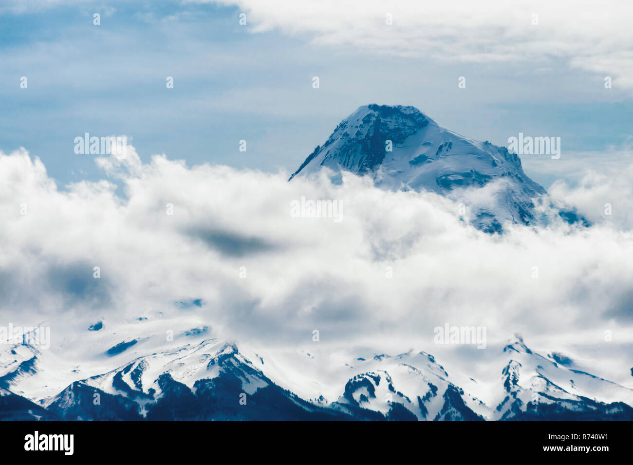 Mt. Hood enhanced with sunlight and clouds a volcano peak in the Oregon Cascade Mountain Range Stock Photohttps://www.alamy.com/image-license-details/?v=1https://www.alamy.com/mt-hood-enhanced-with-sunlight-and-clouds-a-volcano-peak-in-the-oregon-cascade-mountain-range-image228125885.html
RFR740W1–Mt. Hood enhanced with sunlight and clouds a volcano peak in the Oregon Cascade Mountain Range
 GIFFORD PINCHOT NATIONAL FOREST, WASHINGTON, USA - Mount Adams, elevation 12,281 ft (3,743 m), glaciated mountain, Cascade Range Stock Photohttps://www.alamy.com/image-license-details/?v=1https://www.alamy.com/stock-photo-gifford-pinchot-national-forest-washington-usa-mount-adams-elevation-88931538.html
RMF4K52A–GIFFORD PINCHOT NATIONAL FOREST, WASHINGTON, USA - Mount Adams, elevation 12,281 ft (3,743 m), glaciated mountain, Cascade Range
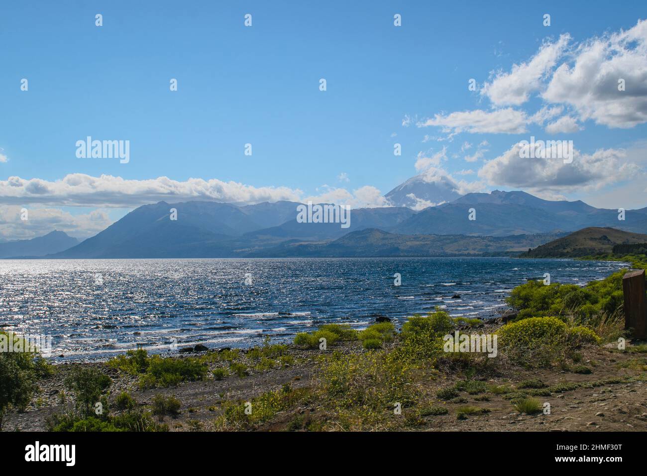 Huechulafquen Lake in the Patagonian Andes, mountain range with the Lanin volcano in the background. Stock Photohttps://www.alamy.com/image-license-details/?v=1https://www.alamy.com/huechulafquen-lake-in-the-patagonian-andes-mountain-range-with-the-lanin-volcano-in-the-background-image460094344.html
RF2HMF30T–Huechulafquen Lake in the Patagonian Andes, mountain range with the Lanin volcano in the background.
 Majestic mountain volcano range with rocky hills impressive landscape Stock Photohttps://www.alamy.com/image-license-details/?v=1https://www.alamy.com/majestic-mountain-volcano-range-with-rocky-hills-impressive-landscape-image563296834.html
RF2RMCAT2–Majestic mountain volcano range with rocky hills impressive landscape
 View from Teide Volcano at dusk, Tenerife, Spain. Stock Photohttps://www.alamy.com/image-license-details/?v=1https://www.alamy.com/view-from-teide-volcano-at-dusk-tenerife-spain-image245855980.html
RFT7YKPM–View from Teide Volcano at dusk, Tenerife, Spain.
 The Caucasian mountain Range. Perspective of caucasian snow The Caucasian mountain Range. Perspective of caucasian snow mountain or volcano Elbrus. La Stock Photohttps://www.alamy.com/image-license-details/?v=1https://www.alamy.com/the-caucasian-mountain-range-perspective-of-caucasian-snow-the-caucasian-mountain-range-perspective-of-caucasian-snow-mountain-or-volcano-elbrus-la-image441146091.html
RF2GHKX9F–The Caucasian mountain Range. Perspective of caucasian snow The Caucasian mountain Range. Perspective of caucasian snow mountain or volcano Elbrus. La
 Mountain biking in a former volcanic crater near the 'Puy de la Vache' (1167m). The volcano in the Massif Central belongs to the 'Chaîne des Puys', the mountain range of the Puys with 80 volcanoes. Stock Photohttps://www.alamy.com/image-license-details/?v=1https://www.alamy.com/mountain-biking-in-a-former-volcanic-crater-near-the-puy-de-la-vache-1167m-the-volcano-in-the-massif-central-belongs-to-the-chane-des-puys-the-mountain-range-of-the-puys-with-80-volcanoes-image357549082.html
RM2BNKNE2–Mountain biking in a former volcanic crater near the 'Puy de la Vache' (1167m). The volcano in the Massif Central belongs to the 'Chaîne des Puys', the mountain range of the Puys with 80 volcanoes.
 Puntiagudo volcano, the lakes region, chile Stock Photohttps://www.alamy.com/image-license-details/?v=1https://www.alamy.com/stock-photo-puntiagudo-volcano-the-lakes-region-chile-88819906.html
RFF4E2KE–Puntiagudo volcano, the lakes region, chile
 The Puy de Dome peak (West face), Auvergne-Rhone-Alpes region, Massif-Central, france Stock Photohttps://www.alamy.com/image-license-details/?v=1https://www.alamy.com/the-puy-de-dome-peak-west-face-auvergne-rhone-alpes-region-massif-central-france-image456735690.html
RM2HF230X–The Puy de Dome peak (West face), Auvergne-Rhone-Alpes region, Massif-Central, france
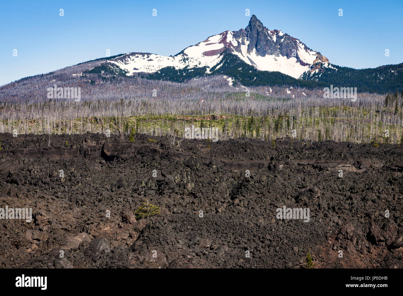 Mount Washington is a shield volcano in Oregon's Cascade Range in the Willamette National Forest. Mt Washington's main peak is a volcanic plug that wa Stock Photohttps://www.alamy.com/image-license-details/?v=1https://www.alamy.com/mount-washington-is-a-shield-volcano-in-oregons-cascade-range-in-the-image151216055.html
RMJP0DHB–Mount Washington is a shield volcano in Oregon's Cascade Range in the Willamette National Forest. Mt Washington's main peak is a volcanic plug that wa
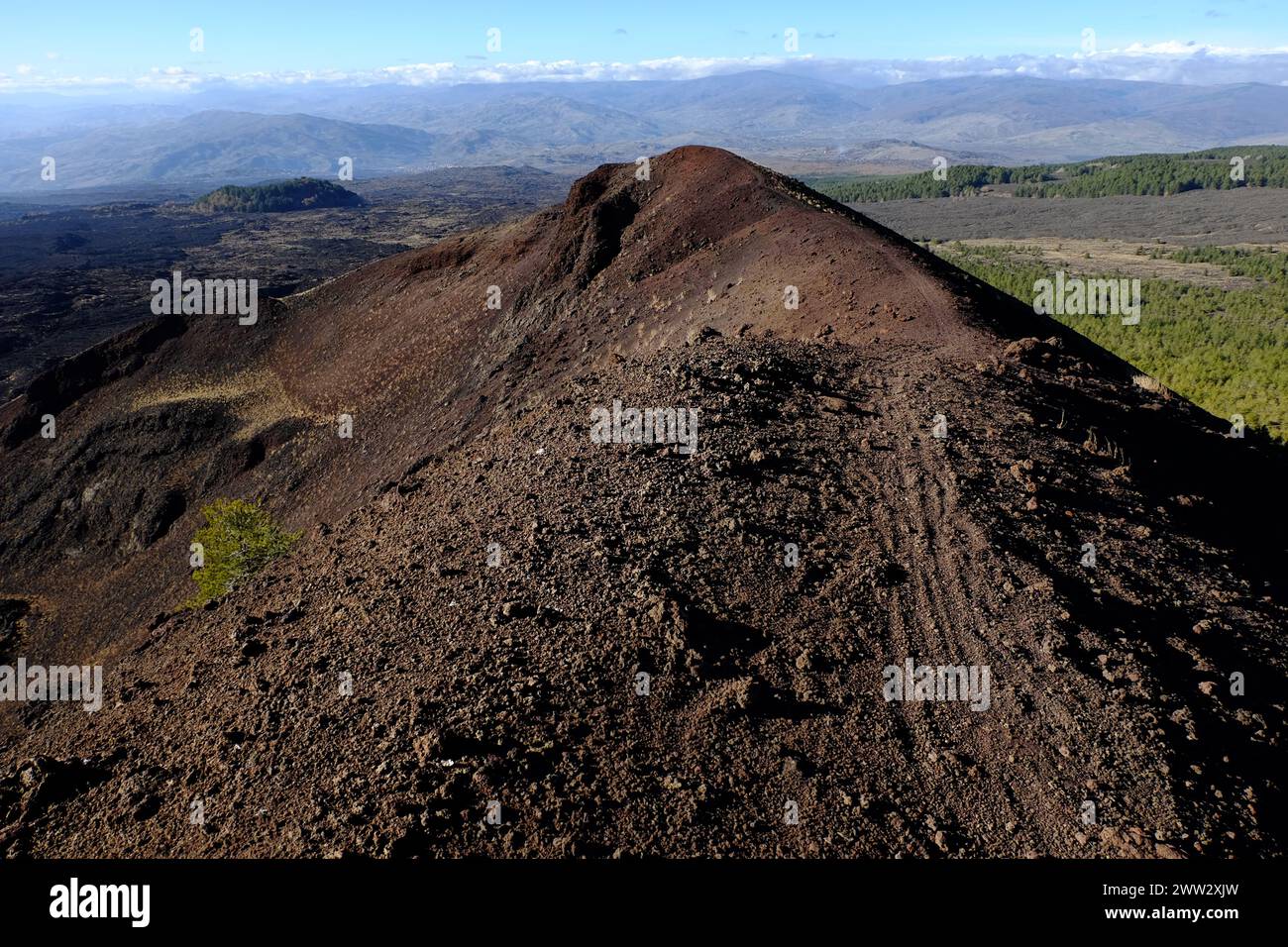 extinct volcano crater with lone pine tree in Etna Park and mountain range at the horizon, Sicily, Italy Stock Photohttps://www.alamy.com/image-license-details/?v=1https://www.alamy.com/extinct-volcano-crater-with-lone-pine-tree-in-etna-park-and-mountain-range-at-the-horizon-sicily-italy-image600583729.html
RM2WW2XJW–extinct volcano crater with lone pine tree in Etna Park and mountain range at the horizon, Sicily, Italy
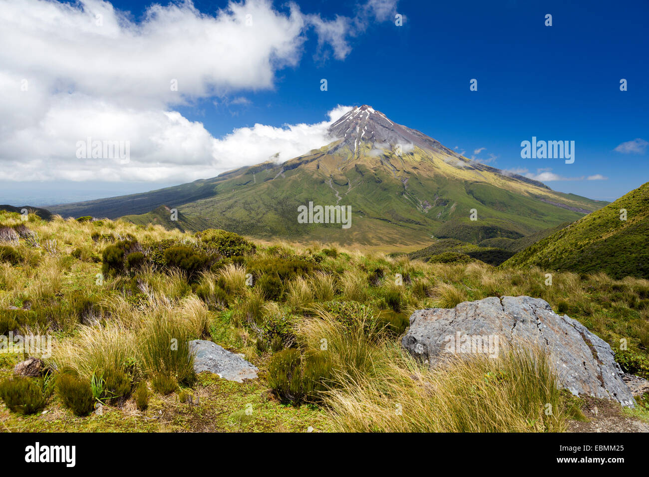 Mount Taranaki volcano, Pouakai Range, Egmont National Park, Taranaki Region, New Zealand Stock Photohttps://www.alamy.com/image-license-details/?v=1https://www.alamy.com/stock-photo-mount-taranaki-volcano-pouakai-range-egmont-national-park-taranaki-76057469.html
RFEBMM25–Mount Taranaki volcano, Pouakai Range, Egmont National Park, Taranaki Region, New Zealand
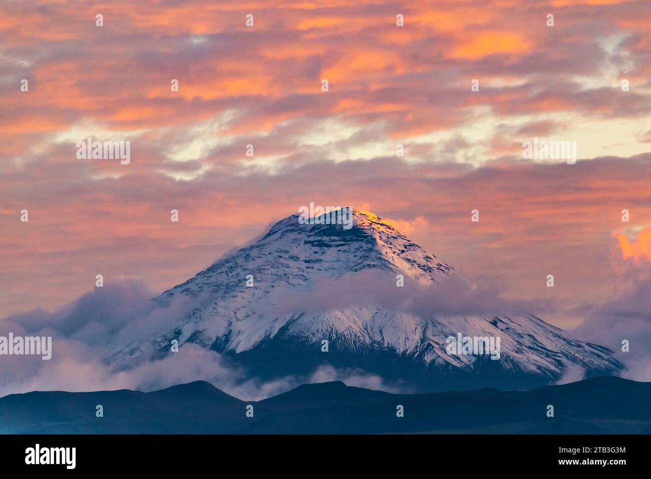 Cotopaxi volcano at sunset with clouds in blue and red tones seen from Quito, Ecuador Stock Photohttps://www.alamy.com/image-license-details/?v=1https://www.alamy.com/cotopaxi-volcano-at-sunset-with-clouds-in-blue-and-red-tones-seen-from-quito-ecuador-image574781864.html
RF2TB3G3M–Cotopaxi volcano at sunset with clouds in blue and red tones seen from Quito, Ecuador
 USA, Hawaii, Haleakala, Landscape with volcano crater Stock Photohttps://www.alamy.com/image-license-details/?v=1https://www.alamy.com/usa-hawaii-haleakala-landscape-with-volcano-crater-image359786264.html
RF2BW9K1C–USA, Hawaii, Haleakala, Landscape with volcano crater
 FRANCE. AUVERGNE REGION. PUY DE DOME (63) VOLCANO RANGE. DOME VOLCANO Stock Photohttps://www.alamy.com/image-license-details/?v=1https://www.alamy.com/france-auvergne-region-puy-de-dome-63-volcano-range-dome-volcano-image537281719.html
RM2P6388R–FRANCE. AUVERGNE REGION. PUY DE DOME (63) VOLCANO RANGE. DOME VOLCANO
 FRANCE. AUVERGNE REGION. PUY DE DOME (63) VOLCANO RANGE Stock Photohttps://www.alamy.com/image-license-details/?v=1https://www.alamy.com/france-auvergne-region-puy-de-dome-63-volcano-range-image449547104.html
RM2H3AHWM–FRANCE. AUVERGNE REGION. PUY DE DOME (63) VOLCANO RANGE
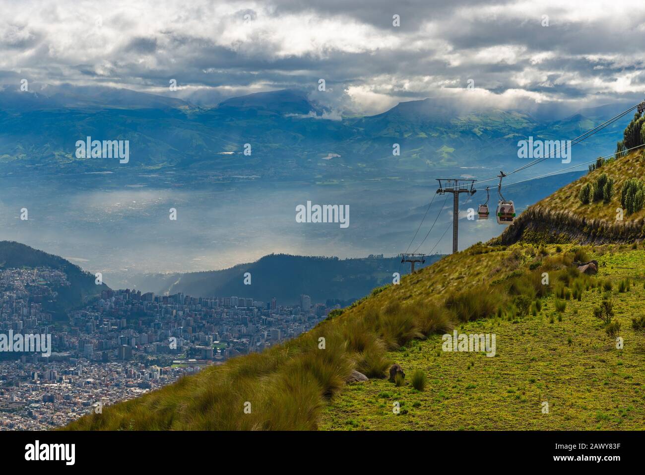 Cityscape of Quito seen from the Pichincha volcano with the cable car of the city called Teleferico, Andes mountain range, Ecuador. Stock Photohttps://www.alamy.com/image-license-details/?v=1https://www.alamy.com/cityscape-of-quito-seen-from-the-pichincha-volcano-with-the-cable-car-of-the-city-called-teleferico-andes-mountain-range-ecuador-image342962467.html
RF2AWY83F–Cityscape of Quito seen from the Pichincha volcano with the cable car of the city called Teleferico, Andes mountain range, Ecuador.
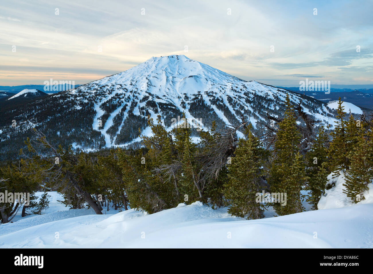 volcano vulcan peak mountain Cascade Range Oregon OR USA America United States winter ski skiing ski resort trail trails t Stock Photohttps://www.alamy.com/image-license-details/?v=1https://www.alamy.com/volcano-vulcan-peak-mountain-cascade-range-oregon-or-usa-america-united-image68452788.html
RMDYA86C–volcano vulcan peak mountain Cascade Range Oregon OR USA America United States winter ski skiing ski resort trail trails t
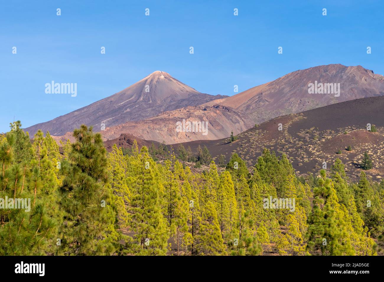 Mount Teide volcano, Tenerife, Canary Islands, Spain Stock Photohttps://www.alamy.com/image-license-details/?v=1https://www.alamy.com/mount-teide-volcano-tenerife-canary-islands-spain-image471116254.html
RF2JAD5GE–Mount Teide volcano, Tenerife, Canary Islands, Spain
 The volcanic peak of Mount Adams in Cascade mountain range in Washington beneath wing tip of United Airlines plane. Stock Photohttps://www.alamy.com/image-license-details/?v=1https://www.alamy.com/stock-image-the-volcanic-peak-of-mount-adams-in-cascade-mountain-range-in-washington-164475338.html
RMKFGDY6–The volcanic peak of Mount Adams in Cascade mountain range in Washington beneath wing tip of United Airlines plane.
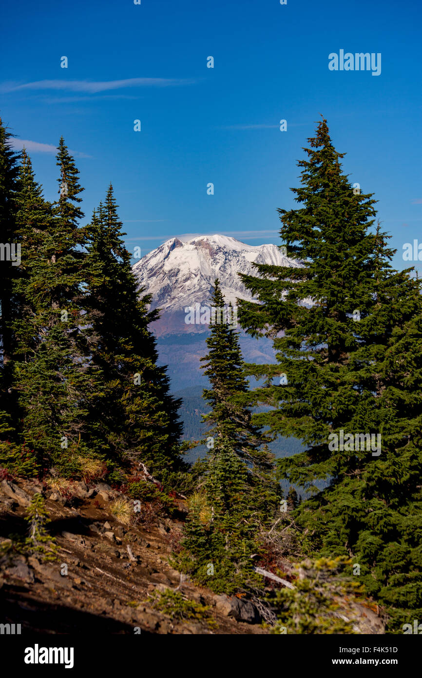 GIFFORD PINCHOT NATIONAL FOREST, WASHINGTON, USA - Mount Adams, elevation 12,281 ft (3,743 m), glaciated mountain, Cascade Range Stock Photohttps://www.alamy.com/image-license-details/?v=1https://www.alamy.com/stock-photo-gifford-pinchot-national-forest-washington-usa-mount-adams-elevation-88931513.html
RMF4K51D–GIFFORD PINCHOT NATIONAL FOREST, WASHINGTON, USA - Mount Adams, elevation 12,281 ft (3,743 m), glaciated mountain, Cascade Range
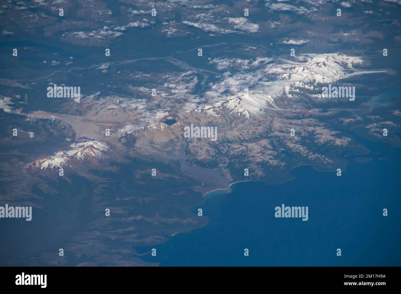 Katmai National Park, Alaskan Peninsula. Several mountains are active volcanoes of Aleutian Range. Digitally enhanced Elements of image from NASA Stock Photohttps://www.alamy.com/image-license-details/?v=1https://www.alamy.com/katmai-national-park-alaskan-peninsula-several-mountains-are-active-volcanoes-of-aleutian-range-digitally-enhanced-elements-of-image-from-nasa-image499882582.html
RF2M17H9A–Katmai National Park, Alaskan Peninsula. Several mountains are active volcanoes of Aleutian Range. Digitally enhanced Elements of image from NASA
 Majestic mountain volcano range with rocky hills impressive landscape Stock Photohttps://www.alamy.com/image-license-details/?v=1https://www.alamy.com/majestic-mountain-volcano-range-with-rocky-hills-impressive-landscape-image601551036.html
RF2WXK0DG–Majestic mountain volcano range with rocky hills impressive landscape
 Panoramic view from the top of Teide Volcano, Tenerife, Spain. Stock Photohttps://www.alamy.com/image-license-details/?v=1https://www.alamy.com/panoramic-view-from-the-top-of-teide-volcano-tenerife-spain-image382628749.html
RF2D6E6TD–Panoramic view from the top of Teide Volcano, Tenerife, Spain.
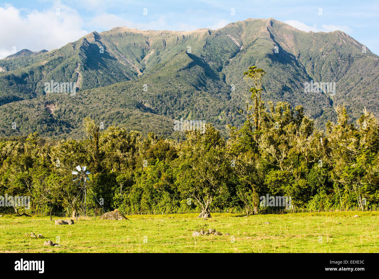 Pouakai Range, Egmont National Park, North Island, New Zealand Stock Photohttps://www.alamy.com/image-license-details/?v=1https://www.alamy.com/stock-photo-pouakai-range-egmont-national-park-north-island-new-zealand-78028480.html
RMEEXE3C–Pouakai Range, Egmont National Park, North Island, New Zealand
 Lava and plumes from the Holuhraun Fissure by the Bardarbunga Volcano, Iceland. Sept. 1, 2014 Aerial view of the eruption at the Holuhraun Fissure by the Bardarbunga Volcano, Iceland. Looking South East with the Kverkfjoll mountain range in the distance. Dust storms result from the Hurricane Cristobal in the South Atlantic. On August 29, 2014, a fissure eruption started in Holuhraun at the northern end of a magma intrusion that had moved progressively north, from the Bardarbunga volcano. Bardarbunga is a stratovolcano located under Vatnajokull, Icelands most extensive glacier. Stock Photohttps://www.alamy.com/image-license-details/?v=1https://www.alamy.com/lava-and-plumes-from-the-holuhraun-fissure-by-the-bardarbunga-volcano-iceland-sept-1-2014-aerial-view-of-the-eruption-at-the-holuhraun-fissure-by-the-bardarbunga-volcano-iceland-looking-south-east-with-the-kverkfjoll-mountain-range-in-the-distance-dust-storms-result-from-the-hurricane-cristobal-in-the-south-atlantic-on-august-29-2014-a-fissure-eruption-started-in-holuhraun-at-the-northern-end-of-a-magma-intrusion-that-had-moved-progressively-north-from-the-bardarbunga-volcano-bardarbunga-is-a-stratovolcano-located-under-vatnajokull-icelands-most-extensive-glacier-image209234992.html
RMP4BDA8–Lava and plumes from the Holuhraun Fissure by the Bardarbunga Volcano, Iceland. Sept. 1, 2014 Aerial view of the eruption at the Holuhraun Fissure by the Bardarbunga Volcano, Iceland. Looking South East with the Kverkfjoll mountain range in the distance. Dust storms result from the Hurricane Cristobal in the South Atlantic. On August 29, 2014, a fissure eruption started in Holuhraun at the northern end of a magma intrusion that had moved progressively north, from the Bardarbunga volcano. Bardarbunga is a stratovolcano located under Vatnajokull, Icelands most extensive glacier.
 Lonquimay volcano, araucania region, chile Stock Photohttps://www.alamy.com/image-license-details/?v=1https://www.alamy.com/stock-photo-lonquimay-volcano-araucania-region-chile-88866489.html
RFF4G635–Lonquimay volcano, araucania region, chile
 Late Fall at Crater Lake in the early morning light devoid of people the vastness of the water filled crater of the volcano, Mount Mazama. The lake i Stock Photohttps://www.alamy.com/image-license-details/?v=1https://www.alamy.com/late-fall-at-crater-lake-in-the-early-morning-light-devoid-of-people-the-vastness-of-the-water-filled-crater-of-the-volcano-mount-mazama-the-lake-i-image219185741.html
RFPMGNJ5–Late Fall at Crater Lake in the early morning light devoid of people the vastness of the water filled crater of the volcano, Mount Mazama. The lake i
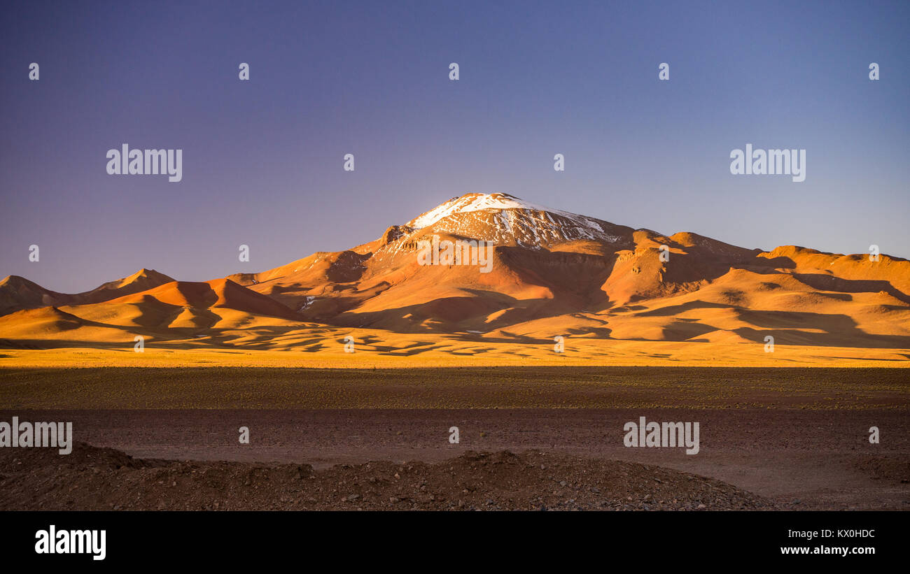 High altitude barren highlands of the Andes, among the most important travel destination in Bolivia.Majestic volcano range in the background. Stock Photohttps://www.alamy.com/image-license-details/?v=1https://www.alamy.com/stock-photo-high-altitude-barren-highlands-of-the-andes-among-the-most-important-170888072.html
RFKX0HDC–High altitude barren highlands of the Andes, among the most important travel destination in Bolivia.Majestic volcano range in the background.
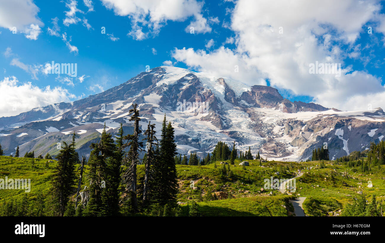 The summit of Mt. Rainier, a dormant volcano in the Cascade Mountain Range of Washington State. Stock Photohttps://www.alamy.com/image-license-details/?v=1https://www.alamy.com/stock-photo-the-summit-of-mt-rainier-a-dormant-volcano-in-the-cascade-mountain-124325620.html
RFH67EGM–The summit of Mt. Rainier, a dormant volcano in the Cascade Mountain Range of Washington State.
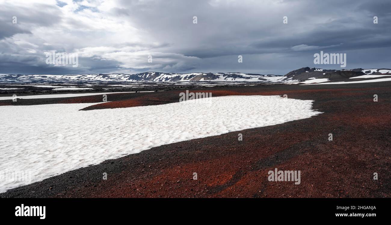 Askja volcano crater, snow-covered volcanic landscape, Iceland Stock Photohttps://www.alamy.com/image-license-details/?v=1https://www.alamy.com/askja-volcano-crater-snow-covered-volcanic-landscape-iceland-image457540562.html
RF2HGANJA–Askja volcano crater, snow-covered volcanic landscape, Iceland
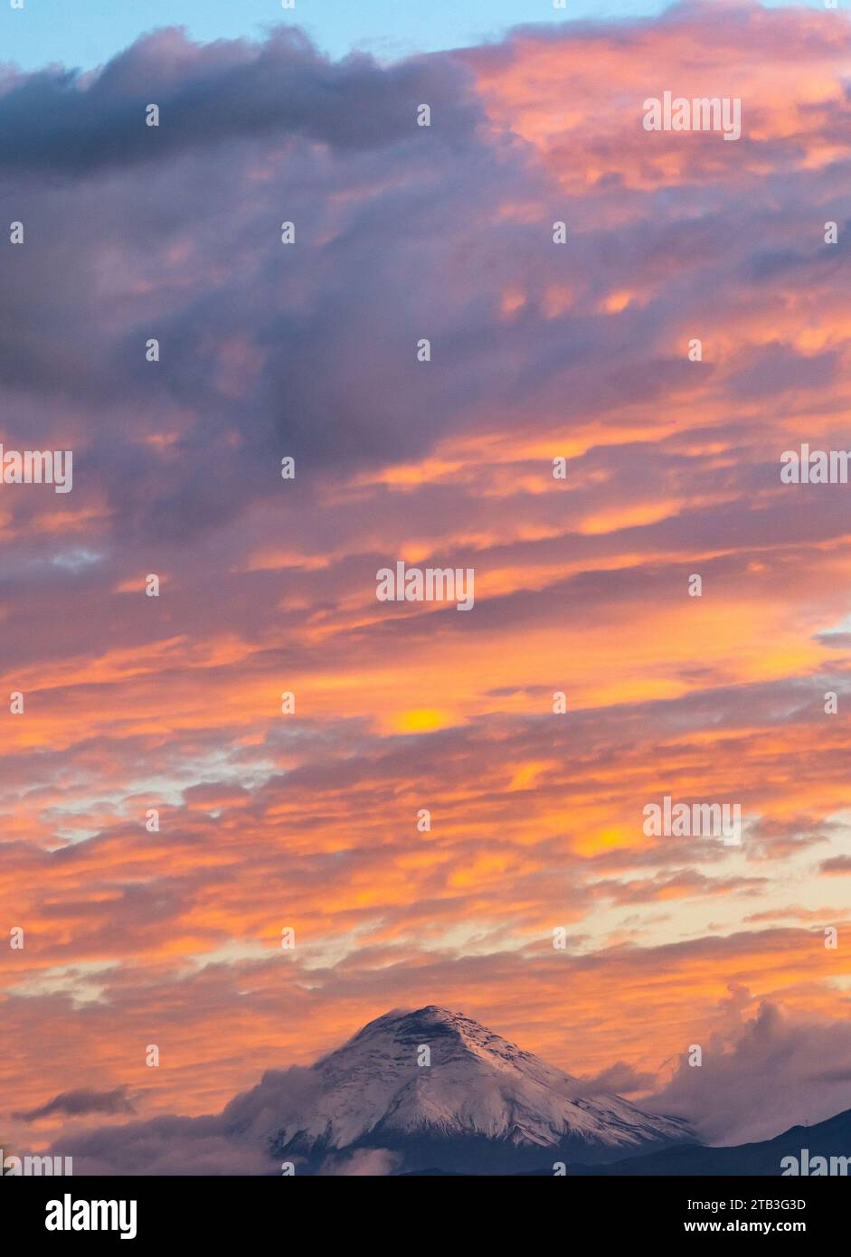 Cotopaxi volcano at sunset with clouds in blue and red tones seen from Quito, Ecuador Stock Photohttps://www.alamy.com/image-license-details/?v=1https://www.alamy.com/cotopaxi-volcano-at-sunset-with-clouds-in-blue-and-red-tones-seen-from-quito-ecuador-image574781857.html
RF2TB3G3D–Cotopaxi volcano at sunset with clouds in blue and red tones seen from Quito, Ecuador
 Antisana volcano located in the Andes mountain range in the highlands of Ecuador in South America. Landscape of the highlands of Ecuador Stock Photohttps://www.alamy.com/image-license-details/?v=1https://www.alamy.com/antisana-volcano-located-in-the-andes-mountain-range-in-the-highlands-of-ecuador-in-south-america-landscape-of-the-highlands-of-ecuador-image466841771.html
RF2J3EDCB–Antisana volcano located in the Andes mountain range in the highlands of Ecuador in South America. Landscape of the highlands of Ecuador
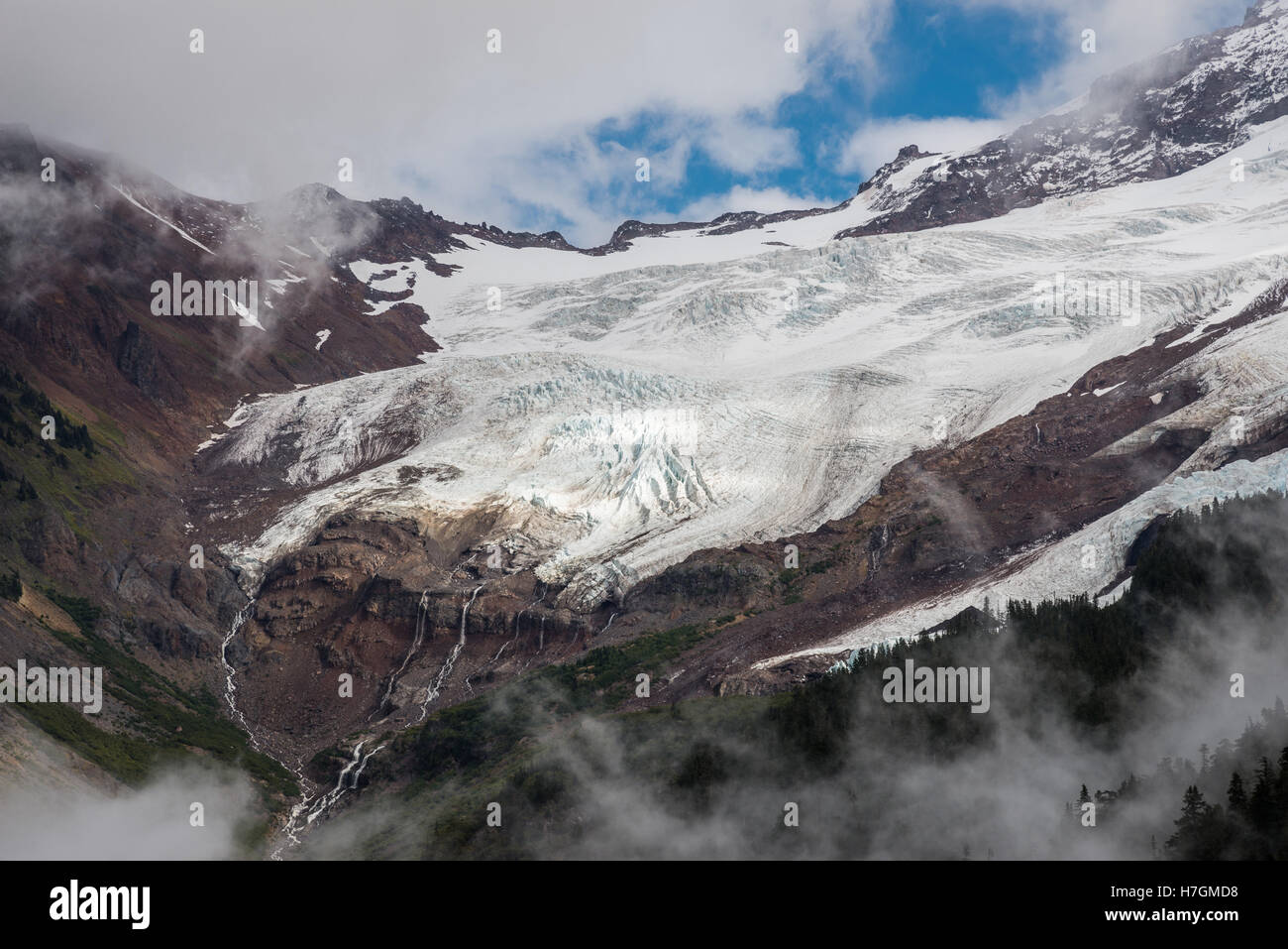 Glacier coming off Mount Baker, an active volcano in the North Cascades Range. Washington, USA. Stock Photohttps://www.alamy.com/image-license-details/?v=1https://www.alamy.com/stock-photo-glacier-coming-off-mount-baker-an-active-volcano-in-the-north-cascades-125142452.html
RFH7GMD8–Glacier coming off Mount Baker, an active volcano in the North Cascades Range. Washington, USA.
 FRANCE. AUVERGNE REGION. PUY DE DOME (63) VOLCANO RANGE. DOME VOLCANO Stock Photohttps://www.alamy.com/image-license-details/?v=1https://www.alamy.com/france-auvergne-region-puy-de-dome-63-volcano-range-dome-volcano-image449547434.html
RM2H3AJ9E–FRANCE. AUVERGNE REGION. PUY DE DOME (63) VOLCANO RANGE. DOME VOLCANO
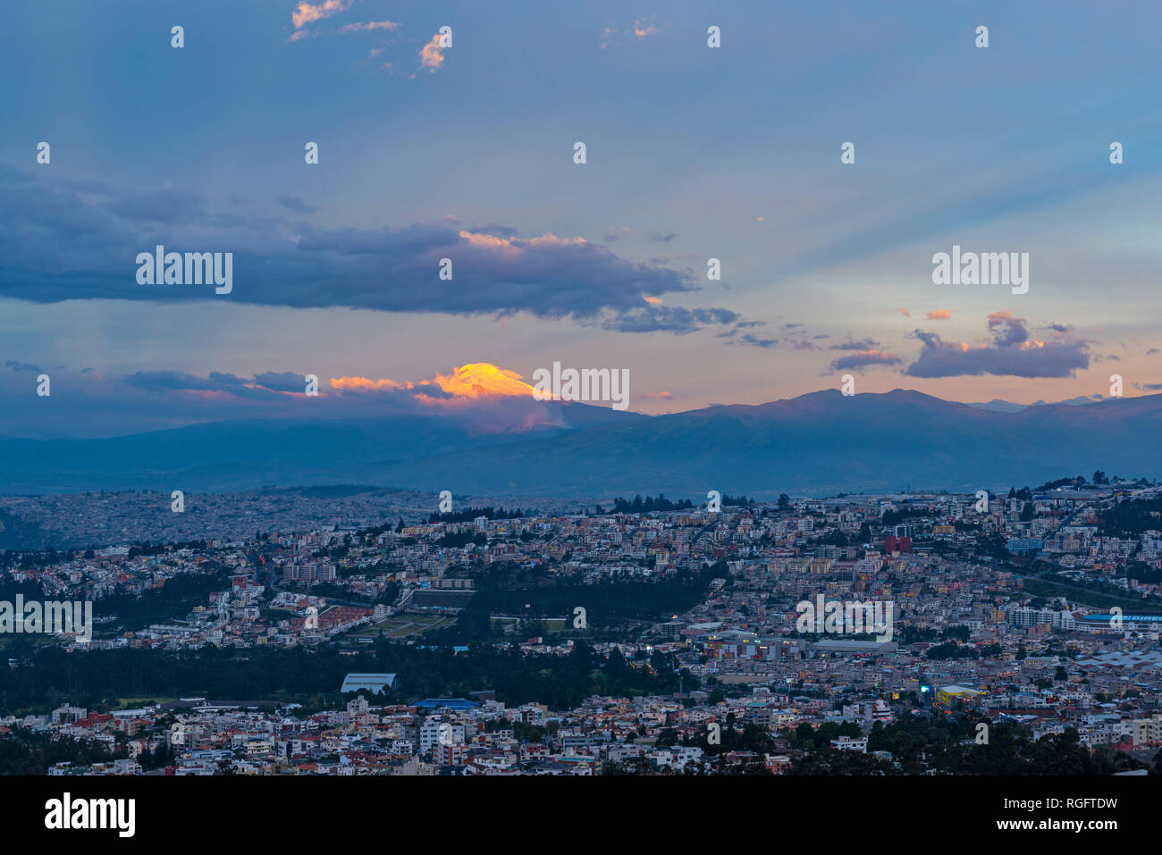 Cityscape of Quito during the blue hour at sunset with the peak of the Cayambe volcano illuminated at sunset in the Andes mountain range, Ecuador. Stock Photohttps://www.alamy.com/image-license-details/?v=1https://www.alamy.com/cityscape-of-quito-during-the-blue-hour-at-sunset-with-the-peak-of-the-cayambe-volcano-illuminated-at-sunset-in-the-andes-mountain-range-ecuador-image233917765.html
RMRGFTDW–Cityscape of Quito during the blue hour at sunset with the peak of the Cayambe volcano illuminated at sunset in the Andes mountain range, Ecuador.
RFHTHBR6–The iconic Licancanbur volcano in the Atacama Desert of Chile
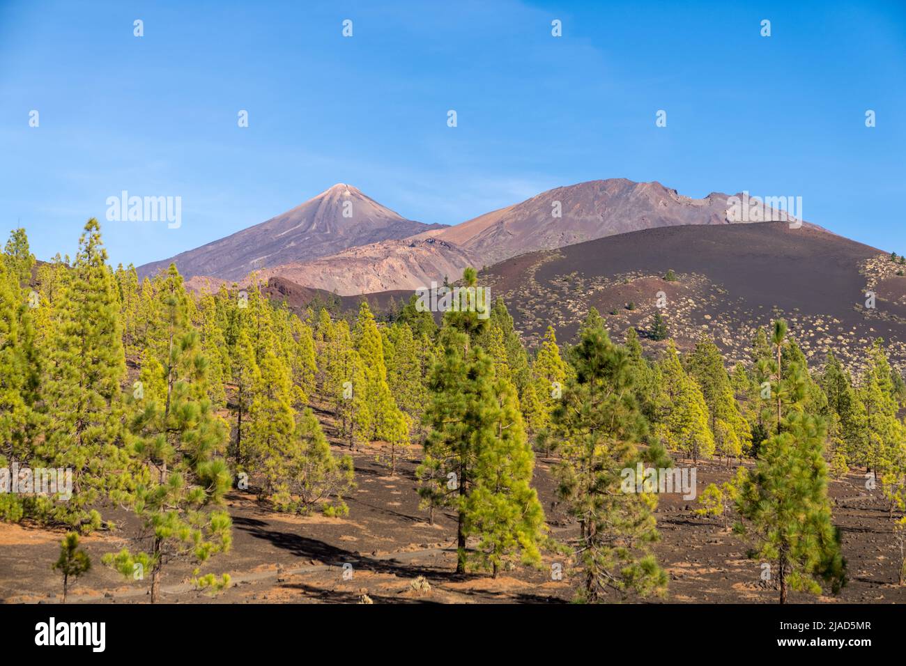 Mount Teide volcano, Tenerife, Canary Islands, Spain Stock Photohttps://www.alamy.com/image-license-details/?v=1https://www.alamy.com/mount-teide-volcano-tenerife-canary-islands-spain-image471116375.html
RF2JAD5MR–Mount Teide volcano, Tenerife, Canary Islands, Spain
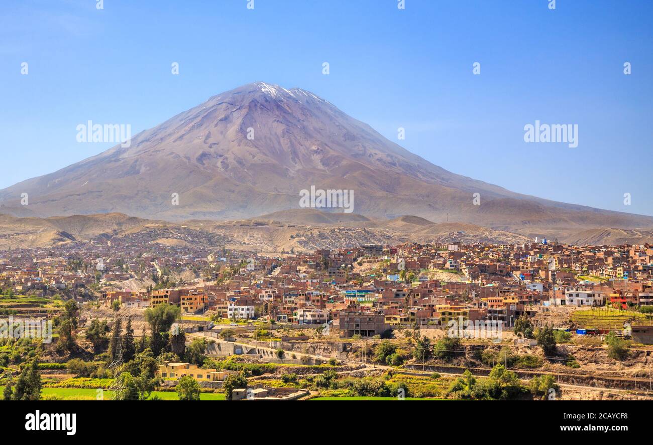 Dormant Misti Volcano over the streets and houses of peruvian city of Arequipa, Peru Stock Photohttps://www.alamy.com/image-license-details/?v=1https://www.alamy.com/dormant-misti-volcano-over-the-streets-and-houses-of-peruvian-city-of-arequipa-peru-image368166828.html
RF2CAYCF8–Dormant Misti Volcano over the streets and houses of peruvian city of Arequipa, Peru
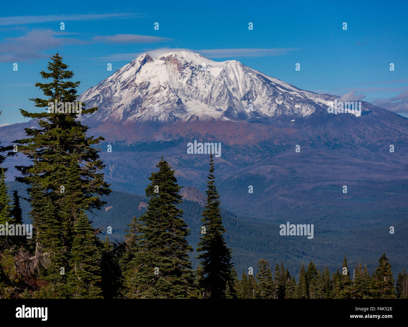 GIFFORD PINCHOT NATIONAL FOREST, WASHINGTON, USA - Mount Adams, elevation 12,281 ft (3,743 m), glaciated mountain, Cascade Range Stock Photohttps://www.alamy.com/image-license-details/?v=1https://www.alamy.com/stock-photo-gifford-pinchot-national-forest-washington-usa-mount-adams-elevation-88931542.html
RMF4K52E–GIFFORD PINCHOT NATIONAL FOREST, WASHINGTON, USA - Mount Adams, elevation 12,281 ft (3,743 m), glaciated mountain, Cascade Range
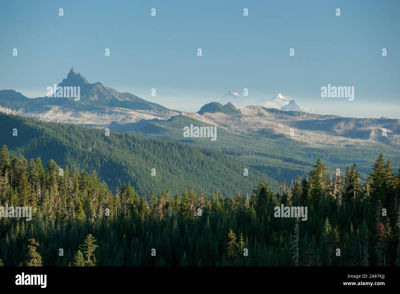 A view south along the crest of Oregon's Cascade Range from Outerson Mountain. Stock Photohttps://www.alamy.com/image-license-details/?v=1https://www.alamy.com/a-view-south-along-the-crest-of-oregons-cascade-range-from-outerson-mountain-image332083322.html
RM2A87KJJ–A view south along the crest of Oregon's Cascade Range from Outerson Mountain.
 Majestic mountain volcano range with rocky hills impressive landscape Stock Photohttps://www.alamy.com/image-license-details/?v=1https://www.alamy.com/majestic-mountain-volcano-range-with-rocky-hills-impressive-landscape-image601551004.html
RF2WXK0CC–Majestic mountain volcano range with rocky hills impressive landscape
 cattle grazing below volcano reef on the rocky mountain front near dupuyer, montana Stock Photohttps://www.alamy.com/image-license-details/?v=1https://www.alamy.com/cattle-grazing-below-volcano-reef-on-the-rocky-mountain-front-near-dupuyer-montana-image473367484.html
RM2JE3N1G–cattle grazing below volcano reef on the rocky mountain front near dupuyer, montana
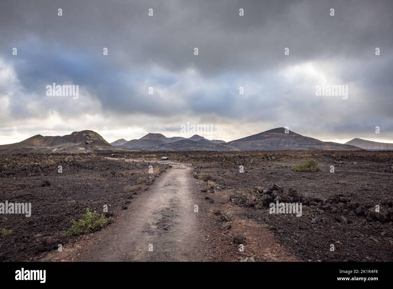 Volcanic landscape near the Volcano Montaña Colorada with the mountains of Timanfaya NP in the background. Lanzarote island; Spain Stock Photohttps://www.alamy.com/image-license-details/?v=1https://www.alamy.com/volcanic-landscape-near-the-volcano-montaa-colorada-with-the-mountains-of-timanfaya-np-in-the-background-lanzarote-island-spain-image483013420.html
RF2K1R4F8–Volcanic landscape near the Volcano Montaña Colorada with the mountains of Timanfaya NP in the background. Lanzarote island; Spain
 Lava and plumes from the Holuhraun Fissure by the Bardarbunga Volcano, Iceland. Sept. 1, 2014 Aerial view of the eruption at the Holuhraun Fissure by the Bardarbunga Volcano, Iceland. Looking South East with the Kverkfjoll mountain range in the distance. Dust storms result from the Hurricane Cristobal in the South Atlantic. On August 29, 2014, a fissure eruption started in Holuhraun at the northern end of a magma intrusion that had moved progressively north, from the Bardarbunga volcano. Bardarbunga is a stratovolcano located under Vatnajokull, Icelands most extensive glacier. Stock Photohttps://www.alamy.com/image-license-details/?v=1https://www.alamy.com/lava-and-plumes-from-the-holuhraun-fissure-by-the-bardarbunga-volcano-iceland-sept-1-2014-aerial-view-of-the-eruption-at-the-holuhraun-fissure-by-the-bardarbunga-volcano-iceland-looking-south-east-with-the-kverkfjoll-mountain-range-in-the-distance-dust-storms-result-from-the-hurricane-cristobal-in-the-south-atlantic-on-august-29-2014-a-fissure-eruption-started-in-holuhraun-at-the-northern-end-of-a-magma-intrusion-that-had-moved-progressively-north-from-the-bardarbunga-volcano-bardarbunga-is-a-stratovolcano-located-under-vatnajokull-icelands-most-extensive-glacier-image209234978.html
RMP4BD9P–Lava and plumes from the Holuhraun Fissure by the Bardarbunga Volcano, Iceland. Sept. 1, 2014 Aerial view of the eruption at the Holuhraun Fissure by the Bardarbunga Volcano, Iceland. Looking South East with the Kverkfjoll mountain range in the distance. Dust storms result from the Hurricane Cristobal in the South Atlantic. On August 29, 2014, a fissure eruption started in Holuhraun at the northern end of a magma intrusion that had moved progressively north, from the Bardarbunga volcano. Bardarbunga is a stratovolcano located under Vatnajokull, Icelands most extensive glacier.
 Misty cloud forest in the foothills of the Chiriqui highlands in Baru volcano, Panama, Central America - stock photo Stock Photohttps://www.alamy.com/image-license-details/?v=1https://www.alamy.com/misty-cloud-forest-in-the-foothills-of-the-chiriqui-highlands-in-baru-volcano-panama-central-america-stock-photo-image610734248.html
RF2XDH9NC–Misty cloud forest in the foothills of the Chiriqui highlands in Baru volcano, Panama, Central America - stock photo
 Late Fall at Crater Lake in the early morning light devoid of people the vastness of the water filled crater of the volcano, Mount Mazama. The lake i Stock Photohttps://www.alamy.com/image-license-details/?v=1https://www.alamy.com/late-fall-at-crater-lake-in-the-early-morning-light-devoid-of-people-the-vastness-of-the-water-filled-crater-of-the-volcano-mount-mazama-the-lake-i-image219185681.html
RFPMGNG1–Late Fall at Crater Lake in the early morning light devoid of people the vastness of the water filled crater of the volcano, Mount Mazama. The lake i
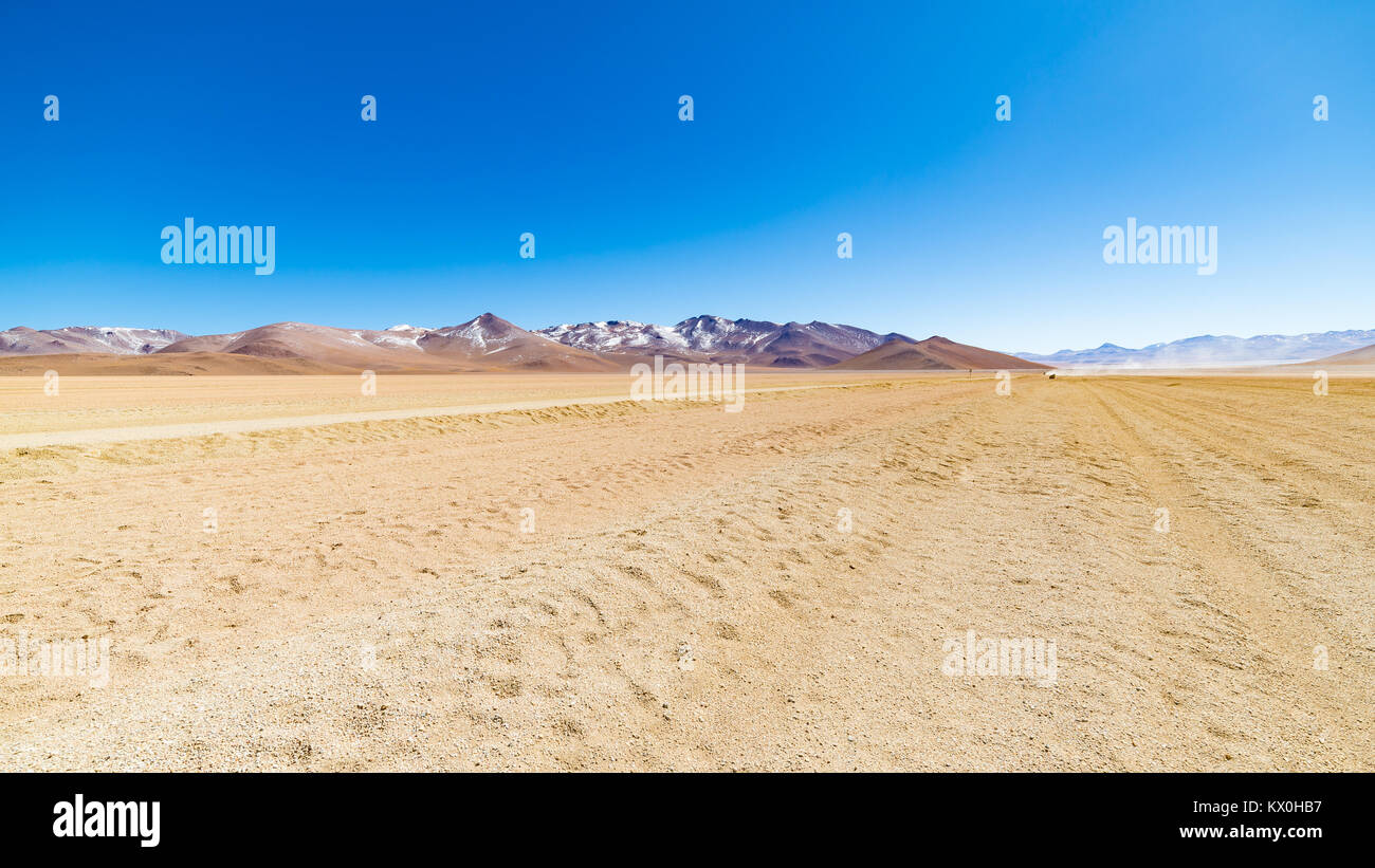 Dirt road at high altitude with sandy desert and barren volcano range on the Andean highlands. Road trip to the famous Uyuni Salt Flat, travel destina Stock Photohttps://www.alamy.com/image-license-details/?v=1https://www.alamy.com/stock-photo-dirt-road-at-high-altitude-with-sandy-desert-and-barren-volcano-range-170888011.html
RFKX0HB7–Dirt road at high altitude with sandy desert and barren volcano range on the Andean highlands. Road trip to the famous Uyuni Salt Flat, travel destina
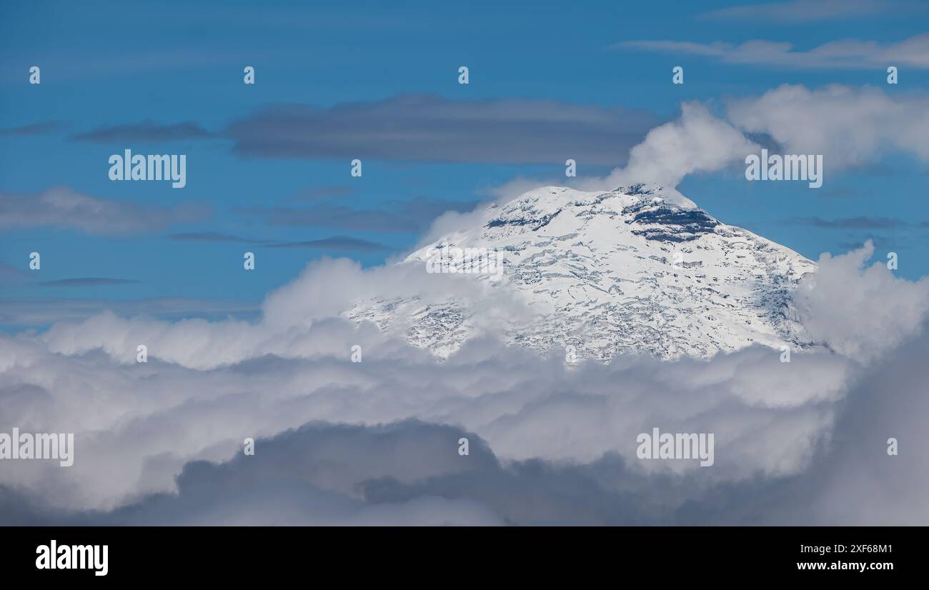 View from aeroplane window of Pichincha volcano top covered in snow above the cloud base, Ecuador, South America Stock Photohttps://www.alamy.com/image-license-details/?v=1https://www.alamy.com/view-from-aeroplane-window-of-pichincha-volcano-top-covered-in-snow-above-the-cloud-base-ecuador-south-america-image611721265.html
RM2XF68M1–View from aeroplane window of Pichincha volcano top covered in snow above the cloud base, Ecuador, South America
 Askja volcano crater, snow-covered volcanic landscape, Iceland Stock Photohttps://www.alamy.com/image-license-details/?v=1https://www.alamy.com/askja-volcano-crater-snow-covered-volcanic-landscape-iceland-image457540613.html
RF2HGANM5–Askja volcano crater, snow-covered volcanic landscape, Iceland
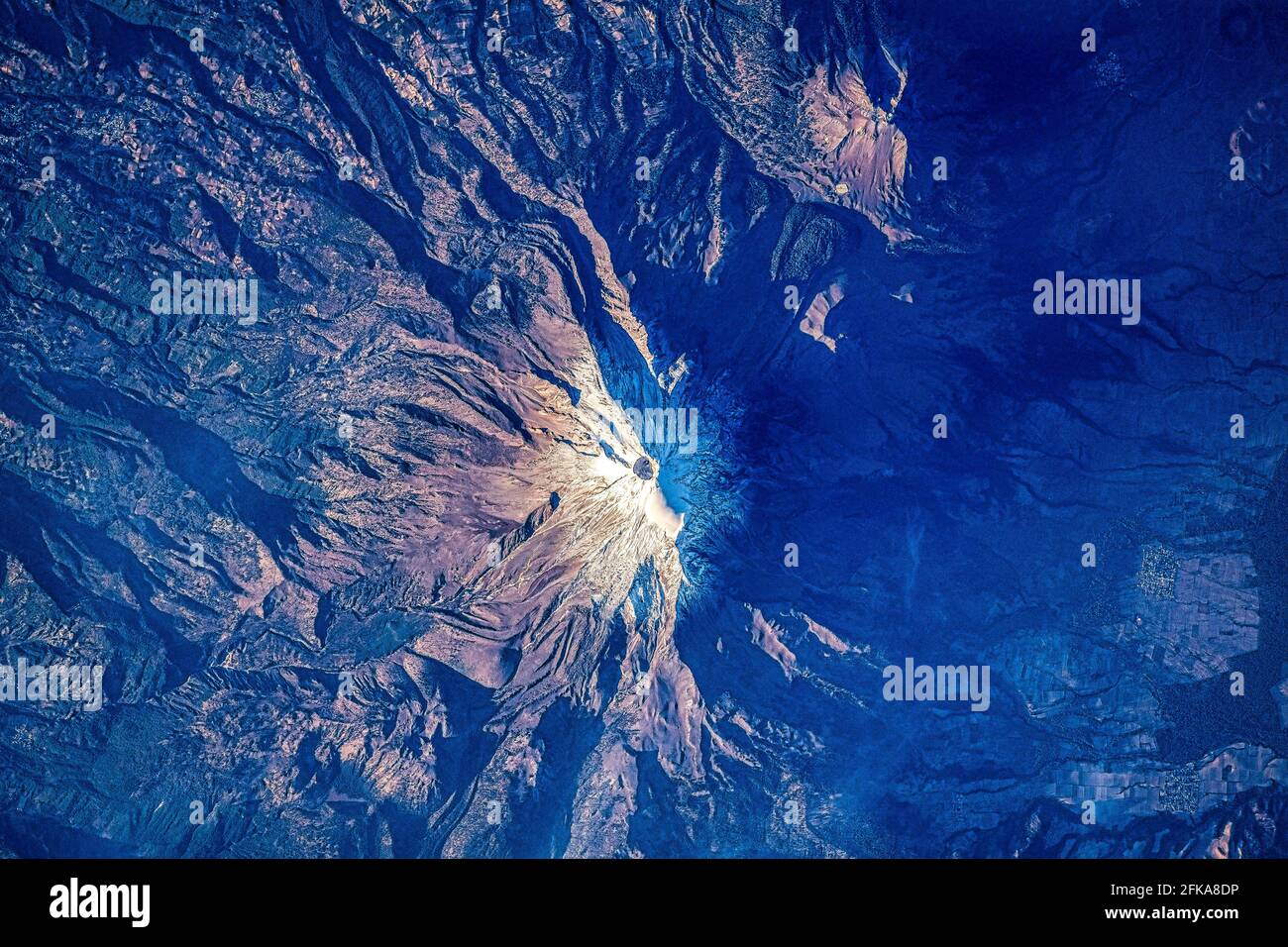 Volcano crater on snowcapped mountain. For NASA usage guidance: https://www.nasa.gov/multimedia/guidelines/index.html Stock Photohttps://www.alamy.com/image-license-details/?v=1https://www.alamy.com/volcano-crater-on-snowcapped-mountain-for-nasa-usage-guidance-httpswwwnasagovmultimediaguidelinesindexhtml-image424953474.html
RM2FKA8DP–Volcano crater on snowcapped mountain. For NASA usage guidance: https://www.nasa.gov/multimedia/guidelines/index.html
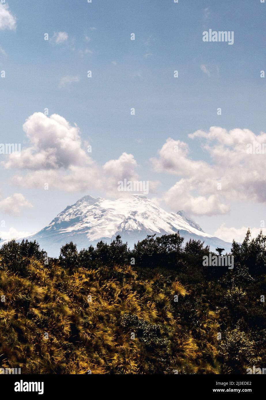 Vertical photograph of the Antisana volcano with grasslands located in the Andes mountain range in Ecuador in South America. Outdoor travel concept Stock Photohttps://www.alamy.com/image-license-details/?v=1https://www.alamy.com/vertical-photograph-of-the-antisana-volcano-with-grasslands-located-in-the-andes-mountain-range-in-ecuador-in-south-america-outdoor-travel-concept-image466841818.html
RF2J3EDE2–Vertical photograph of the Antisana volcano with grasslands located in the Andes mountain range in Ecuador in South America. Outdoor travel concept
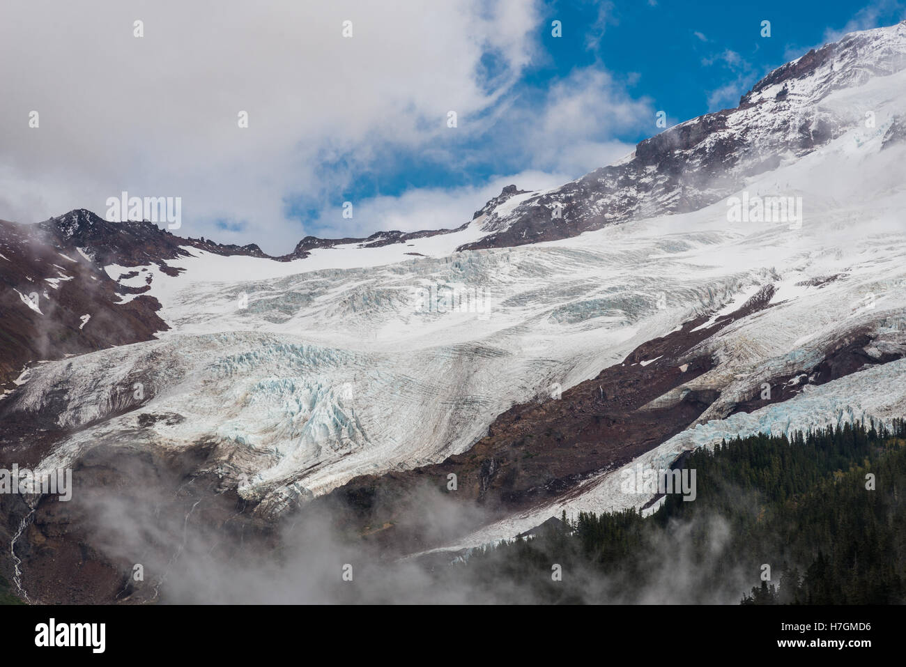 Glacier coming off Mount Baker, an active volcano in the North Cascades Range. Washington, USA. Stock Photohttps://www.alamy.com/image-license-details/?v=1https://www.alamy.com/stock-photo-glacier-coming-off-mount-baker-an-active-volcano-in-the-north-cascades-125142450.html
RMH7GMD6–Glacier coming off Mount Baker, an active volcano in the North Cascades Range. Washington, USA.
 New Zealand, North Island. Lake Taupo, in the caldera of the Taupo Volcano. Photo: © Simon Grosset. Archive: Image digitised from an original transpar Stock Photohttps://www.alamy.com/image-license-details/?v=1https://www.alamy.com/new-zealand-north-island-lake-taupo-in-the-caldera-of-the-taupo-volcano-photo-simon-grosset-archive-image-digitised-from-an-original-transpar-image257755236.html
RMTY9NC4–New Zealand, North Island. Lake Taupo, in the caldera of the Taupo Volcano. Photo: © Simon Grosset. Archive: Image digitised from an original transpar
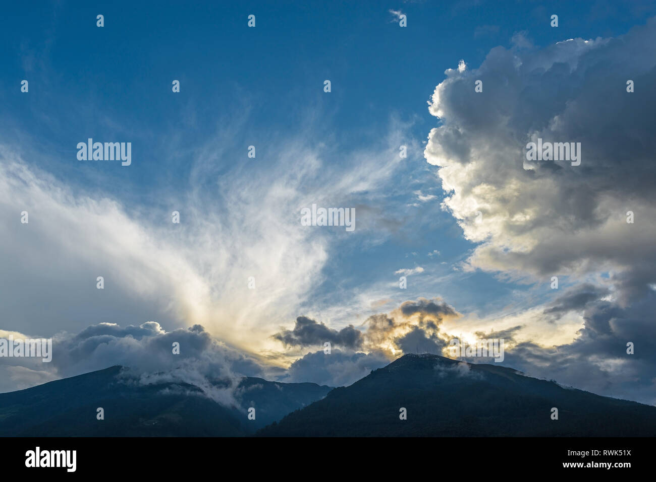 Cloudscape with the peaks of the Pichincha volcano at sunset seen from the city of Quito in the Andes mountain range, Ecuador, South America. Stock Photohttps://www.alamy.com/image-license-details/?v=1https://www.alamy.com/cloudscape-with-the-peaks-of-the-pichincha-volcano-at-sunset-seen-from-the-city-of-quito-in-the-andes-mountain-range-ecuador-south-america-image239522246.html
RMRWK51X–Cloudscape with the peaks of the Pichincha volcano at sunset seen from the city of Quito in the Andes mountain range, Ecuador, South America.
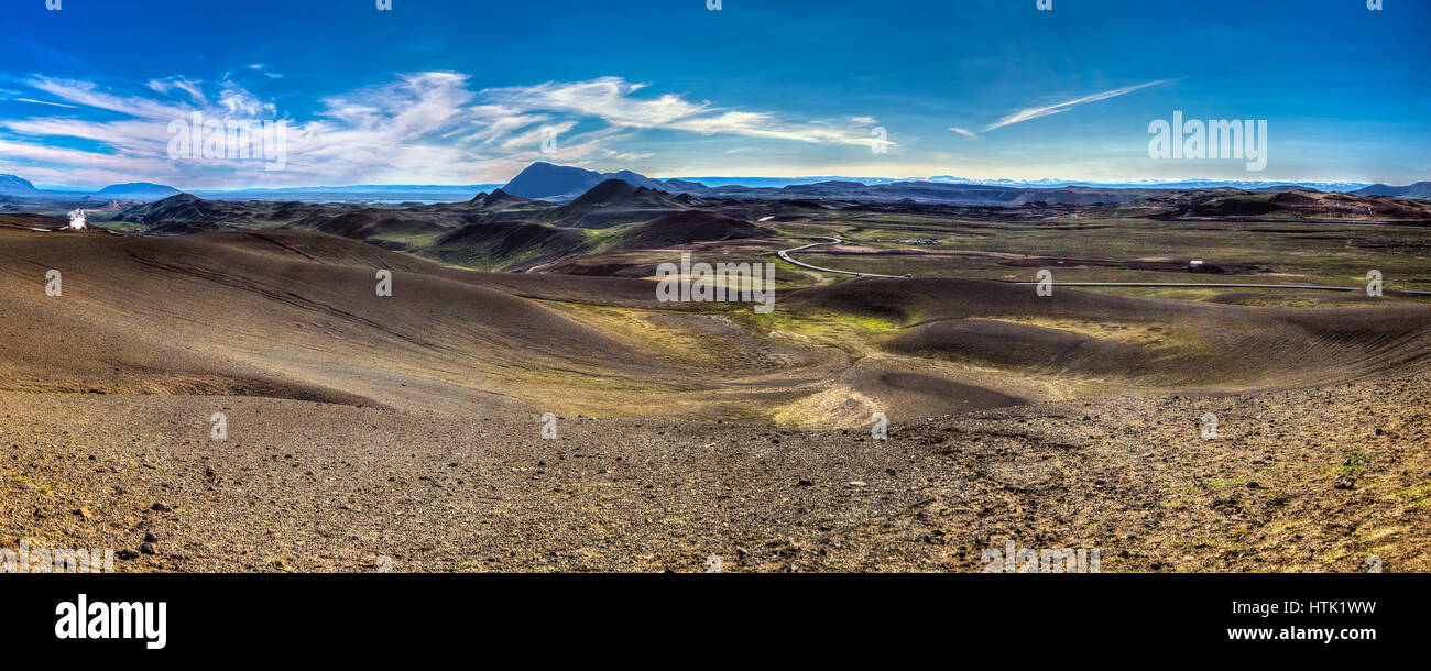 The volcanic landscape around the Krafla volcano in Iceland. Stock Photohttps://www.alamy.com/image-license-details/?v=1https://www.alamy.com/stock-photo-the-volcanic-landscape-around-the-krafla-volcano-in-iceland-135642917.html
RFHTK1WW–The volcanic landscape around the Krafla volcano in Iceland.
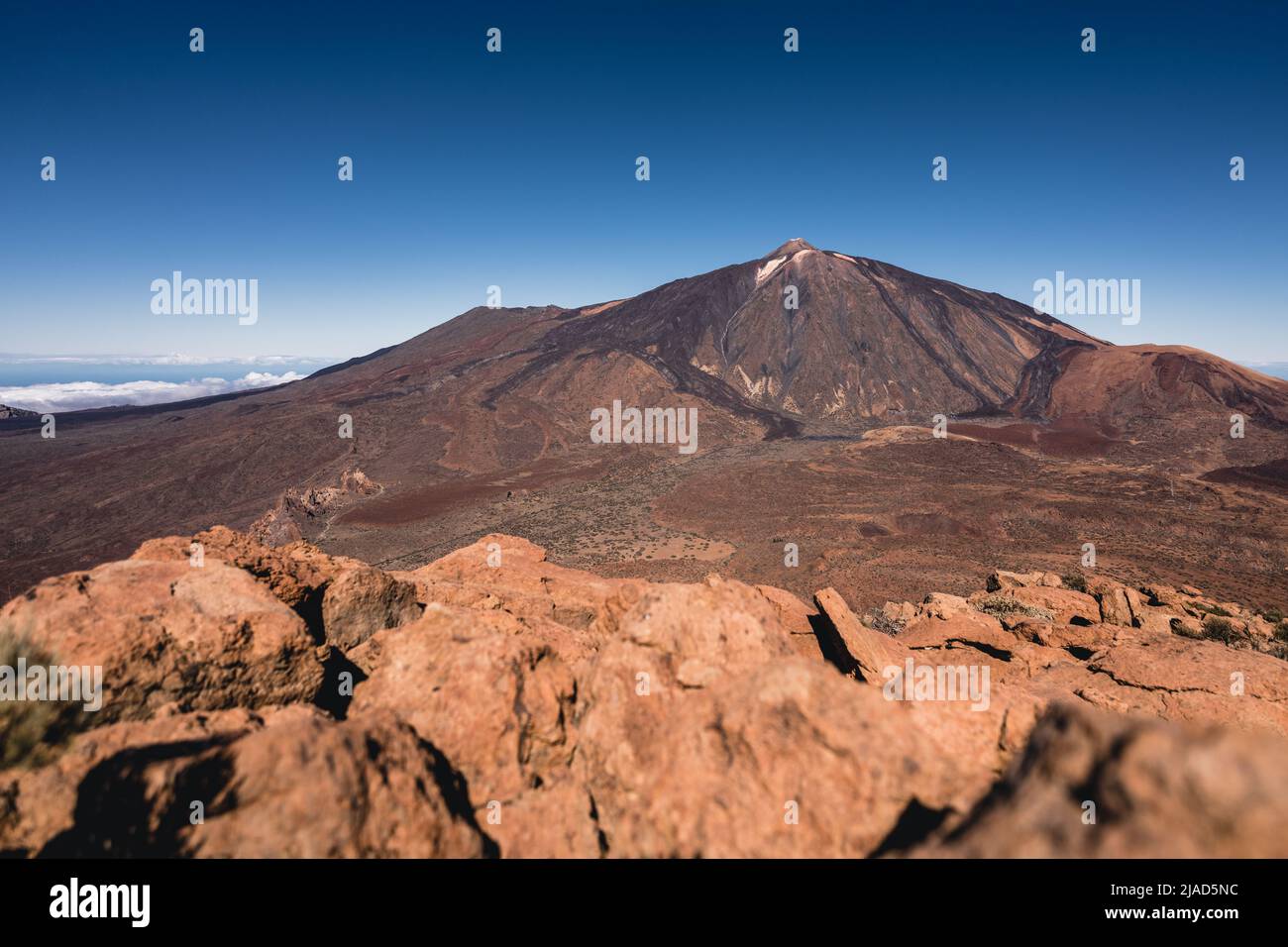 Mount Teide volcano, Tenerife, Canary Islands, Spain Stock Photohttps://www.alamy.com/image-license-details/?v=1https://www.alamy.com/mount-teide-volcano-tenerife-canary-islands-spain-image471116392.html
RF2JAD5NC–Mount Teide volcano, Tenerife, Canary Islands, Spain
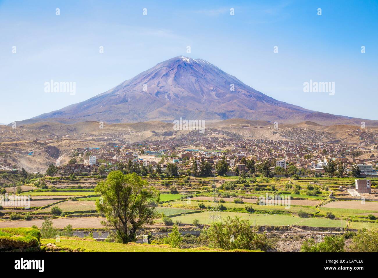 Dormant Misti Volcano over the streets and houses of peruvian city of Arequipa, Peru Stock Photohttps://www.alamy.com/image-license-details/?v=1https://www.alamy.com/dormant-misti-volcano-over-the-streets-and-houses-of-peruvian-city-of-arequipa-peru-image368166800.html
RF2CAYCE8–Dormant Misti Volcano over the streets and houses of peruvian city of Arequipa, Peru
 GIFFORD PINCHOT NATIONAL FOREST, WASHINGTON, USA - Mount Adams, elevation 12,281 ft (3,743 m), glaciated mountain, Cascade Range Stock Photohttps://www.alamy.com/image-license-details/?v=1https://www.alamy.com/stock-photo-gifford-pinchot-national-forest-washington-usa-mount-adams-elevation-88931675.html
RMF4K577–GIFFORD PINCHOT NATIONAL FOREST, WASHINGTON, USA - Mount Adams, elevation 12,281 ft (3,743 m), glaciated mountain, Cascade Range
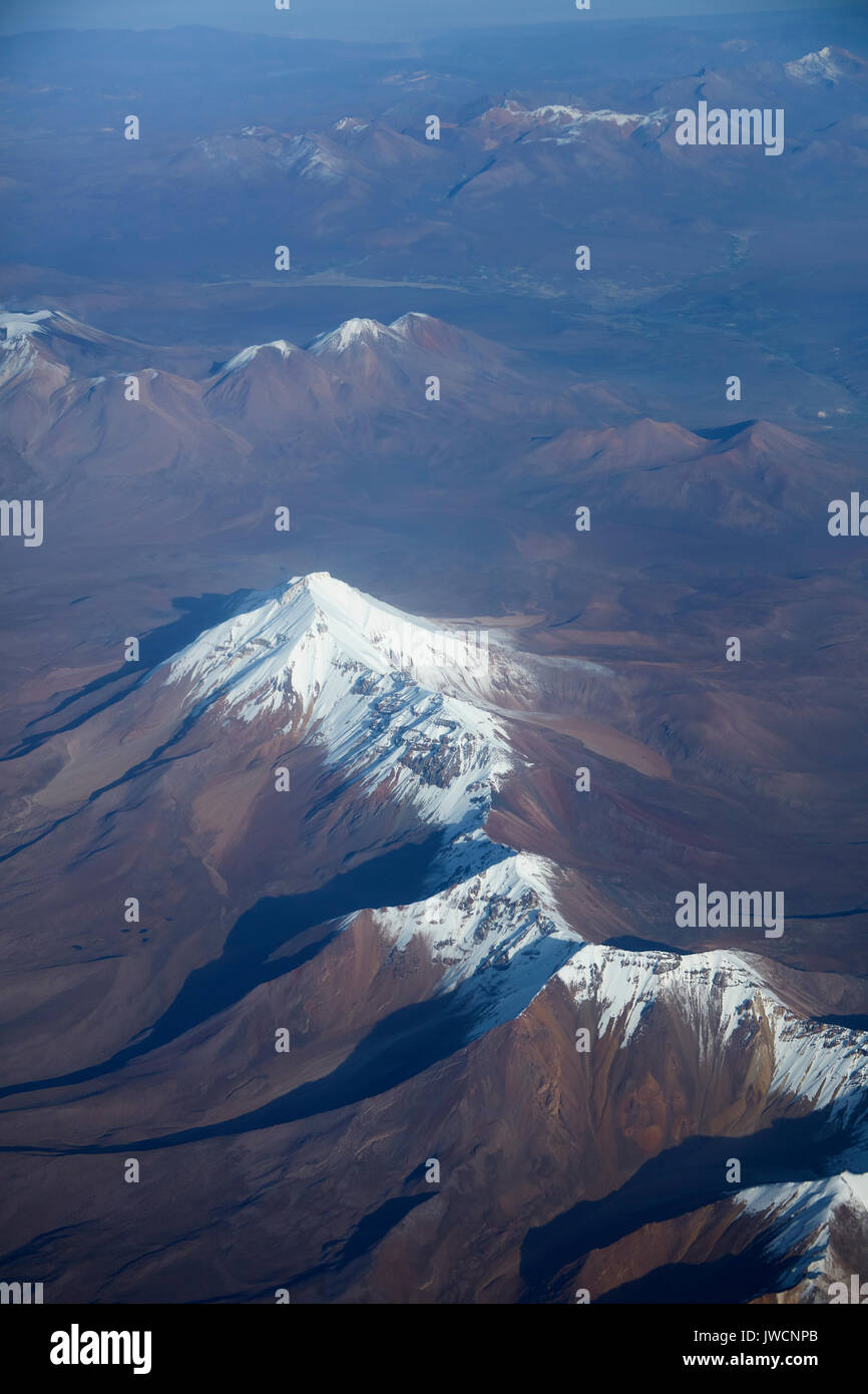 Cabaray (stratovolcano, 5869m/19,255ft), Andes Mountain Range, Bolivia, (and Chile in distance), South America - aerial Stock Photohttps://www.alamy.com/image-license-details/?v=1https://www.alamy.com/cabaray-stratovolcano-5869m19255ft-andes-mountain-range-bolivia-and-image153329859.html
RMJWCNPB–Cabaray (stratovolcano, 5869m/19,255ft), Andes Mountain Range, Bolivia, (and Chile in distance), South America - aerial
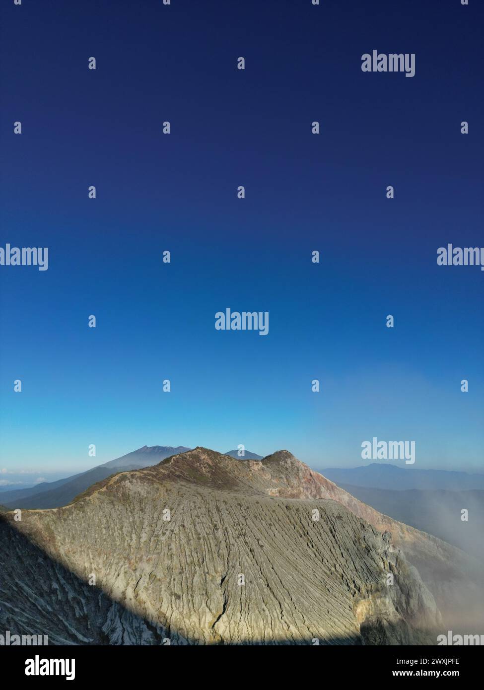 Majestic mountain volcano range with rocky hills impressive landscape Stock Photohttps://www.alamy.com/image-license-details/?v=1https://www.alamy.com/majestic-mountain-volcano-range-with-rocky-hills-impressive-landscape-image601546386.html
RF2WXJPFE–Majestic mountain volcano range with rocky hills impressive landscape
 cattle grazing below volcano reef on the rocky mountain front near dupuyer, montana Stock Photohttps://www.alamy.com/image-license-details/?v=1https://www.alamy.com/cattle-grazing-below-volcano-reef-on-the-rocky-mountain-front-near-dupuyer-montana-image473367483.html
RM2JE3N1F–cattle grazing below volcano reef on the rocky mountain front near dupuyer, montana
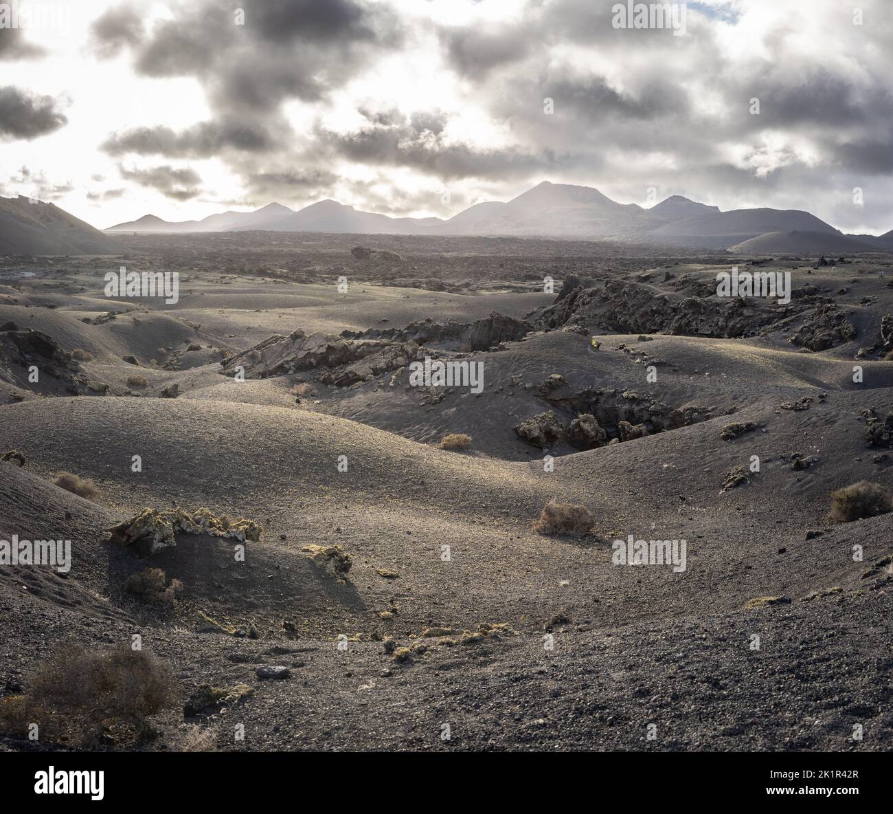 Landscape near the Volcano Montaña del Cuervo with the mountains of Timanfaya NP in the background. Lanzarote island; Spain Stock Photohttps://www.alamy.com/image-license-details/?v=1https://www.alamy.com/landscape-near-the-volcano-montaa-del-cuervo-with-the-mountains-of-timanfaya-np-in-the-background-lanzarote-island-spain-image483013071.html
RF2K1R42R–Landscape near the Volcano Montaña del Cuervo with the mountains of Timanfaya NP in the background. Lanzarote island; Spain
 Lava and plumes from the Holuhraun Fissure by the Bardarbunga Volcano, Iceland. Sept. 1, 2014 Aerial view of the eruption at the Holuhraun Fissure by the Bardarbunga Volcano, Iceland. Looking South East with the Kverkfjoll mountain range in the distance. Dust storms result from the Hurricane Cristobal in the South Atlantic. On August 29, 2014, a fissure eruption started in Holuhraun at the northern end of a magma intrusion that had moved progressively north, from the Bardarbunga volcano. Bardarbunga is a stratovolcano located under Vatnajokull, Icelands most extensive glacier. Stock Photohttps://www.alamy.com/image-license-details/?v=1https://www.alamy.com/lava-and-plumes-from-the-holuhraun-fissure-by-the-bardarbunga-volcano-iceland-sept-1-2014-aerial-view-of-the-eruption-at-the-holuhraun-fissure-by-the-bardarbunga-volcano-iceland-looking-south-east-with-the-kverkfjoll-mountain-range-in-the-distance-dust-storms-result-from-the-hurricane-cristobal-in-the-south-atlantic-on-august-29-2014-a-fissure-eruption-started-in-holuhraun-at-the-northern-end-of-a-magma-intrusion-that-had-moved-progressively-north-from-the-bardarbunga-volcano-bardarbunga-is-a-stratovolcano-located-under-vatnajokull-icelands-most-extensive-glacier-image209234979.html
RMP4BD9R–Lava and plumes from the Holuhraun Fissure by the Bardarbunga Volcano, Iceland. Sept. 1, 2014 Aerial view of the eruption at the Holuhraun Fissure by the Bardarbunga Volcano, Iceland. Looking South East with the Kverkfjoll mountain range in the distance. Dust storms result from the Hurricane Cristobal in the South Atlantic. On August 29, 2014, a fissure eruption started in Holuhraun at the northern end of a magma intrusion that had moved progressively north, from the Bardarbunga volcano. Bardarbunga is a stratovolcano located under Vatnajokull, Icelands most extensive glacier.
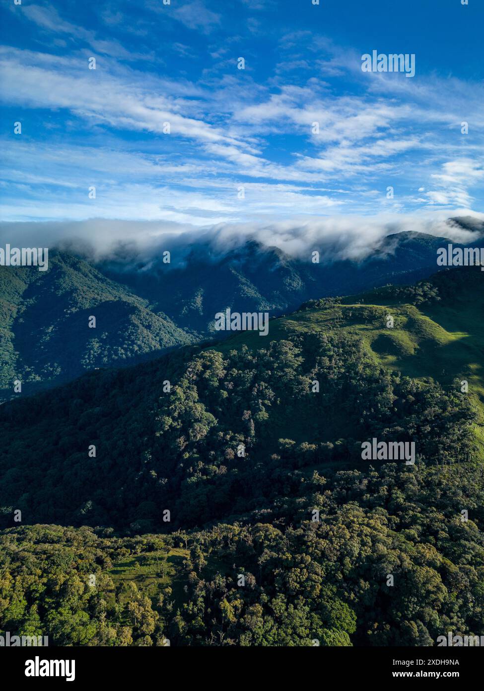 Misty cloud forest in the foothills of the Chiriqui highlands in Baru volcano, Panama, Central America - stock photo Stock Photohttps://www.alamy.com/image-license-details/?v=1https://www.alamy.com/misty-cloud-forest-in-the-foothills-of-the-chiriqui-highlands-in-baru-volcano-panama-central-america-stock-photo-image610734246.html
RF2XDH9NA–Misty cloud forest in the foothills of the Chiriqui highlands in Baru volcano, Panama, Central America - stock photo
 Late Fall at Crater Lake in the early morning light devoid of people the vastness of the water filled crater of the volcano, Mount Mazama. The lake i Stock Photohttps://www.alamy.com/image-license-details/?v=1https://www.alamy.com/late-fall-at-crater-lake-in-the-early-morning-light-devoid-of-people-the-vastness-of-the-water-filled-crater-of-the-volcano-mount-mazama-the-lake-i-image219185592.html
RFPMGNCT–Late Fall at Crater Lake in the early morning light devoid of people the vastness of the water filled crater of the volcano, Mount Mazama. The lake i
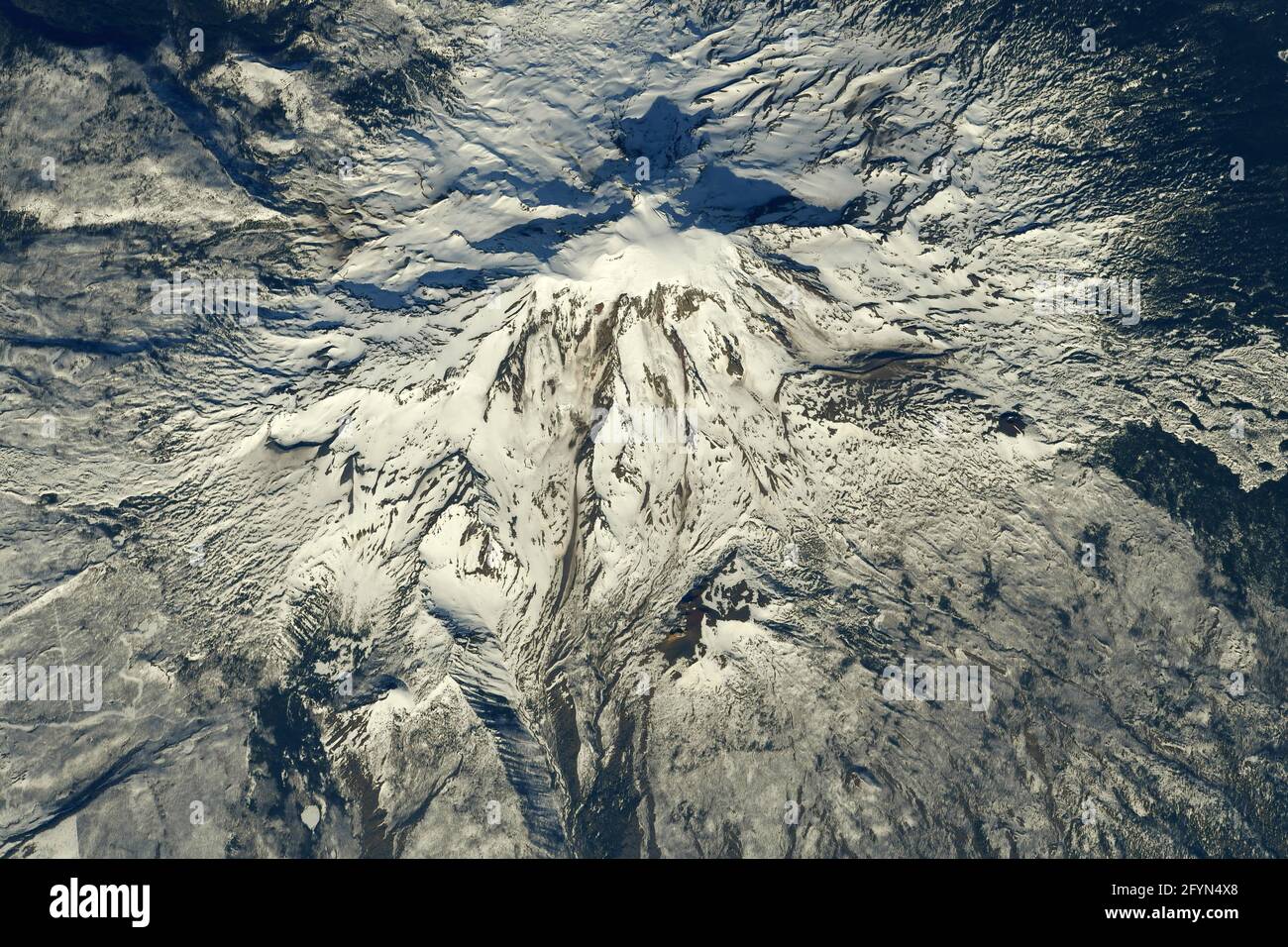 MOUNT ADAMS, USA - 01 May 2021 - Mount Adams as photographed by an astronaut on the International Space Station. Situated in Washington state, the pos Stock Photohttps://www.alamy.com/image-license-details/?v=1https://www.alamy.com/mount-adams-usa-01-may-2021-mount-adams-as-photographed-by-an-astronaut-on-the-international-space-station-situated-in-washington-state-the-pos-image430109408.html
RF2FYN4X8–MOUNT ADAMS, USA - 01 May 2021 - Mount Adams as photographed by an astronaut on the International Space Station. Situated in Washington state, the pos
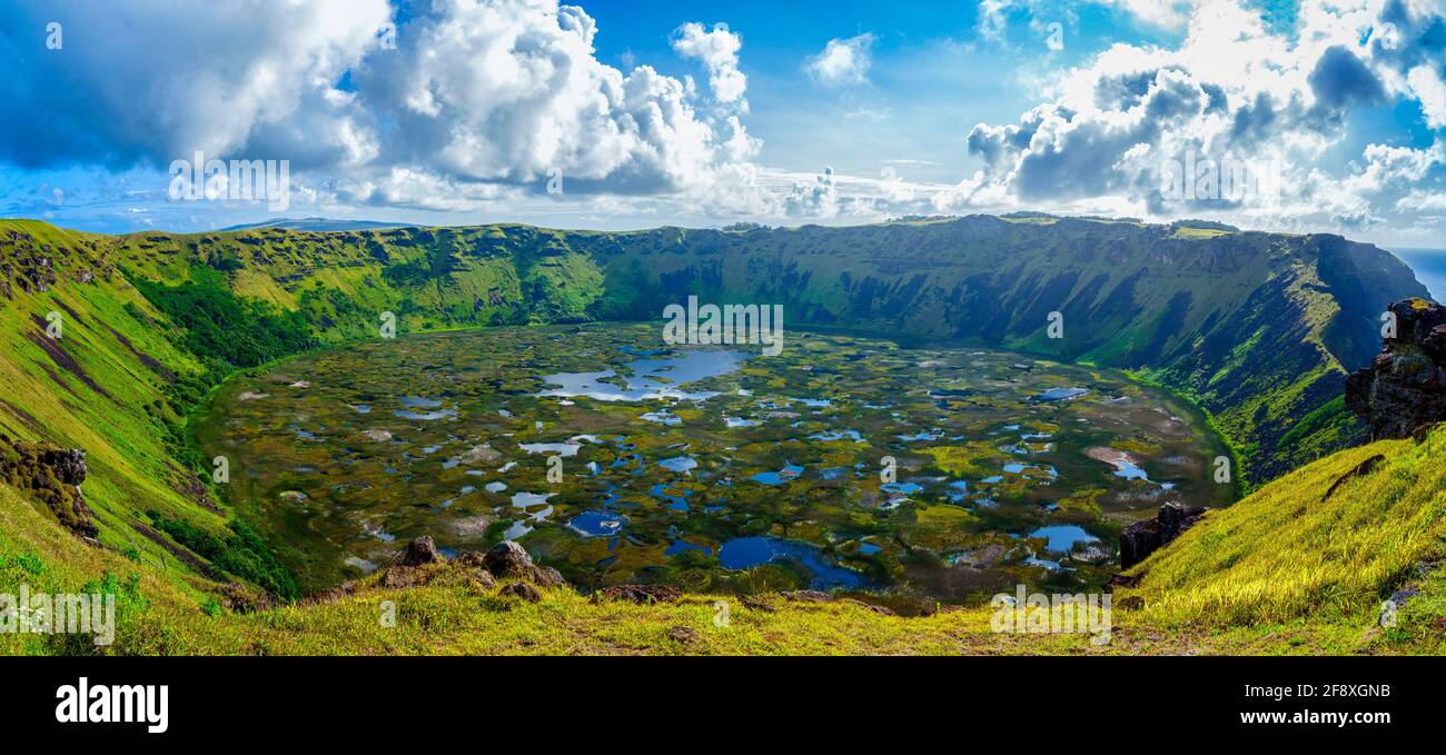 Rano Kau volcanic crater in Rano Kau National Park, Easter Island, Chile Stock Photohttps://www.alamy.com/image-license-details/?v=1https://www.alamy.com/rano-kau-volcanic-crater-in-rano-kau-national-park-easter-island-chile-image418549975.html
RM2F8XGNB–Rano Kau volcanic crater in Rano Kau National Park, Easter Island, Chile
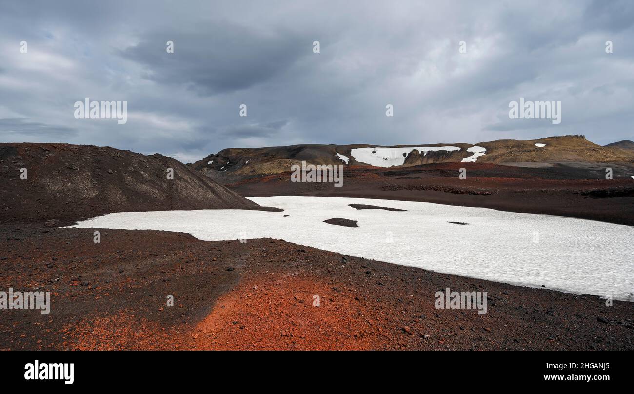 Askja volcano crater, snow-covered volcanic landscape, Iceland Stock Photohttps://www.alamy.com/image-license-details/?v=1https://www.alamy.com/askja-volcano-crater-snow-covered-volcanic-landscape-iceland-image457540557.html
RF2HGANJ5–Askja volcano crater, snow-covered volcanic landscape, Iceland
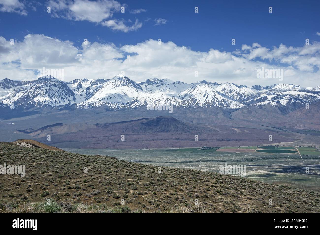 Crater Mountain a cinder cone volcano in the Owens Valley below the Palisade range of the snowy Sierra Nevada Mountains near Big Pine California Stock Photohttps://www.alamy.com/image-license-details/?v=1https://www.alamy.com/crater-mountain-a-cinder-cone-volcano-in-the-owens-valley-below-the-palisade-range-of-the-snowy-sierra-nevada-mountains-near-big-pine-california-image563410661.html
RF2RMHG19–Crater Mountain a cinder cone volcano in the Owens Valley below the Palisade range of the snowy Sierra Nevada Mountains near Big Pine California
 Washington's Tatoosh Range revealed during a brief winter clearing in Mt Rainier National Park. Stock Photohttps://www.alamy.com/image-license-details/?v=1https://www.alamy.com/stock-image-washingtons-tatoosh-range-revealed-during-a-brief-winter-clearing-169882974.html
RMKTARD2–Washington's Tatoosh Range revealed during a brief winter clearing in Mt Rainier National Park.
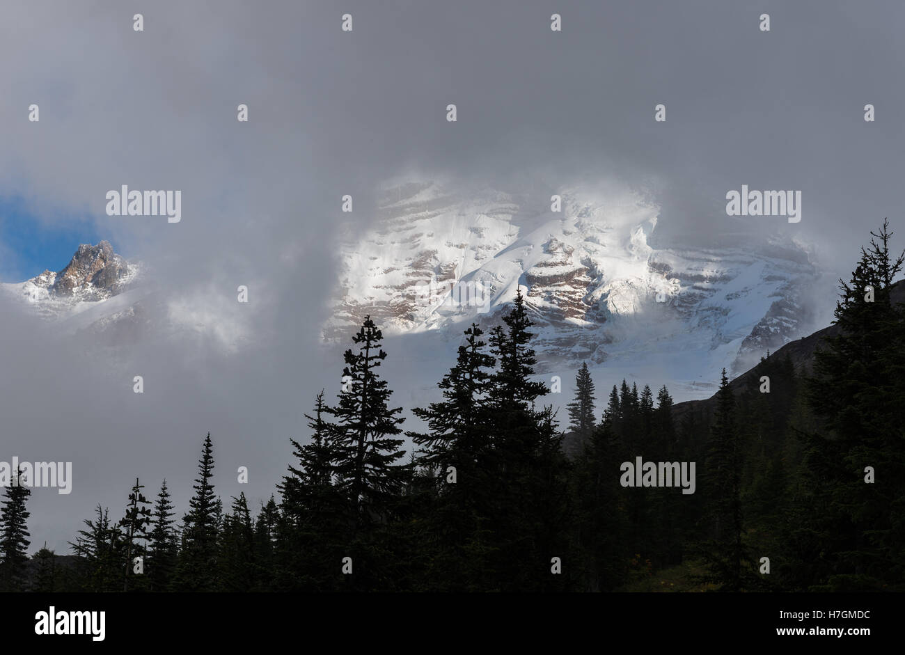 Mount Baker covered in clouds, an active volcano in the North Cascades Range. Washington State, USA. Stock Photohttps://www.alamy.com/image-license-details/?v=1https://www.alamy.com/stock-photo-mount-baker-covered-in-clouds-an-active-volcano-in-the-north-cascades-125142456.html
RMH7GMDC–Mount Baker covered in clouds, an active volcano in the North Cascades Range. Washington State, USA.
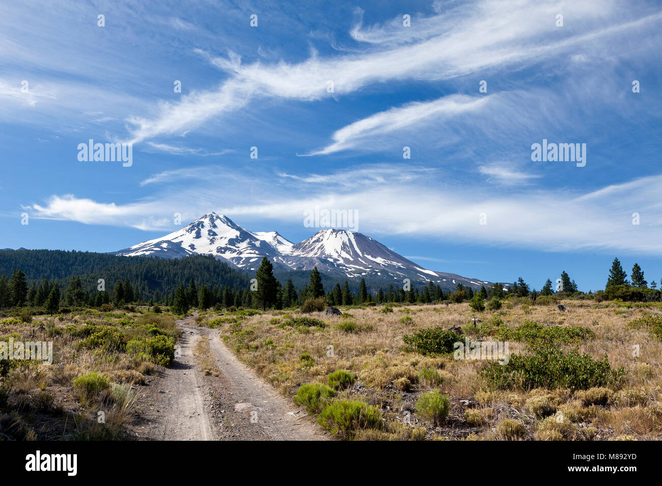 CA02861-00...CALIFORNIA - Bolam Road and Mount Shasta in the Mount Shasta National Forest. Stock Photohttps://www.alamy.com/image-license-details/?v=1https://www.alamy.com/stock-photo-ca02861-00california-bolam-road-and-mount-shasta-in-the-mount-shasta-177220833.html
RMM892YD–CA02861-00...CALIFORNIA - Bolam Road and Mount Shasta in the Mount Shasta National Forest.