Quick filters:
Wales map Stock Photos and Images
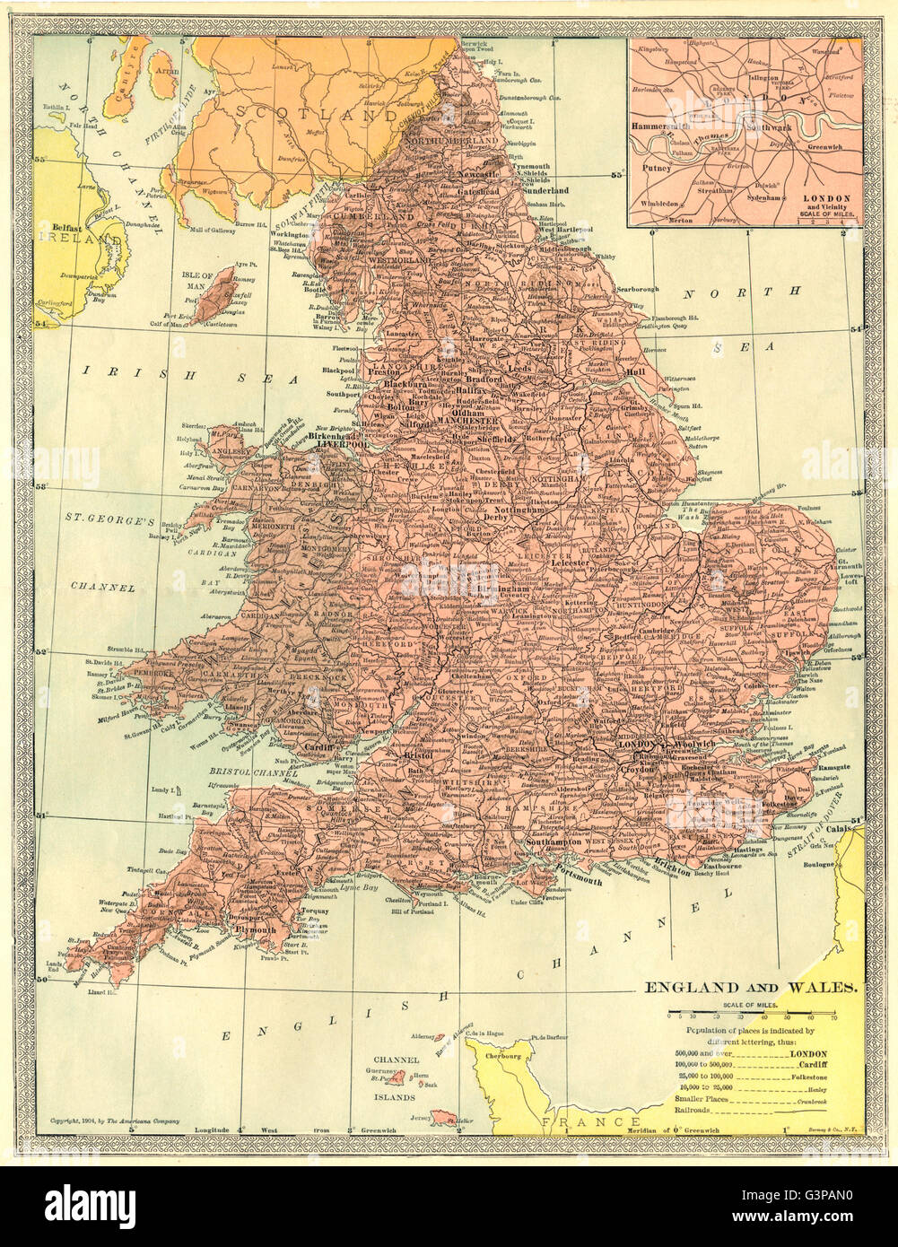 England and Wales. Inset Map of London and Vicinity, 1907 Stock Photohttps://www.alamy.com/image-license-details/?v=1https://www.alamy.com/stock-photo-england-and-wales-inset-map-of-london-and-vicinity-1907-105597548.html
RFG3PAN0–England and Wales. Inset Map of London and Vicinity, 1907
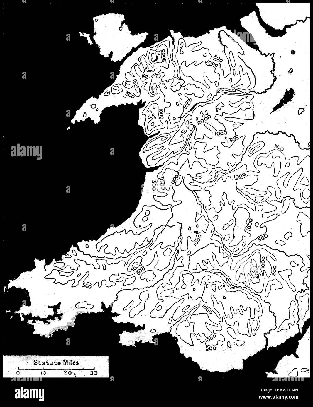 WALES (CYMRU) - A 1914 contour map of the mountains and hills of Wales Stock Photohttps://www.alamy.com/image-license-details/?v=1https://www.alamy.com/stock-photo-wales-cymru-a-1914-contour-map-of-the-mountains-and-hills-of-wales-170293221.html
RMKW1EMN–WALES (CYMRU) - A 1914 contour map of the mountains and hills of Wales
 Map of England and Wales Stock Photohttps://www.alamy.com/image-license-details/?v=1https://www.alamy.com/stock-photo-map-of-england-and-wales-35955861.html
RMC2DX1W–Map of England and Wales
 A Topographical Dictionary of Wales, map of North and South Wales, 19th century engraving Stock Photohttps://www.alamy.com/image-license-details/?v=1https://www.alamy.com/stock-photo-a-topographical-dictionary-of-wales-map-of-north-and-south-wales-19th-77459058.html
RMEE0FPX–A Topographical Dictionary of Wales, map of North and South Wales, 19th century engraving
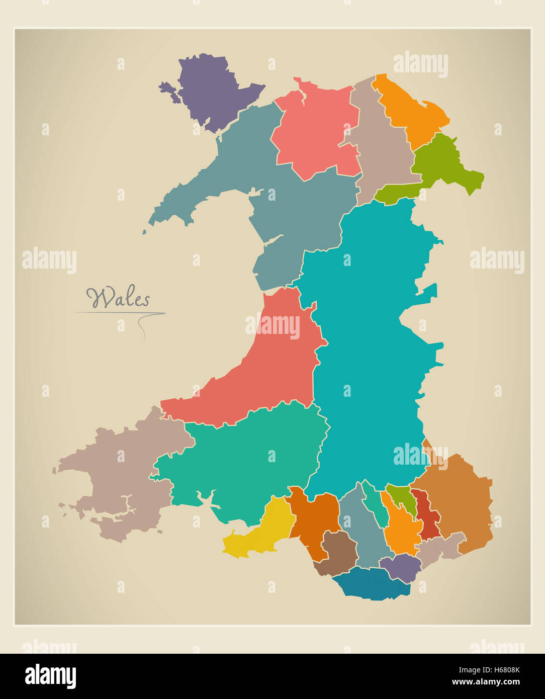 Wales map artwork color illustration Stock Photohttps://www.alamy.com/image-license-details/?v=1https://www.alamy.com/stock-photo-wales-map-artwork-color-illustration-124336371.html
RFH6808K–Wales map artwork color illustration
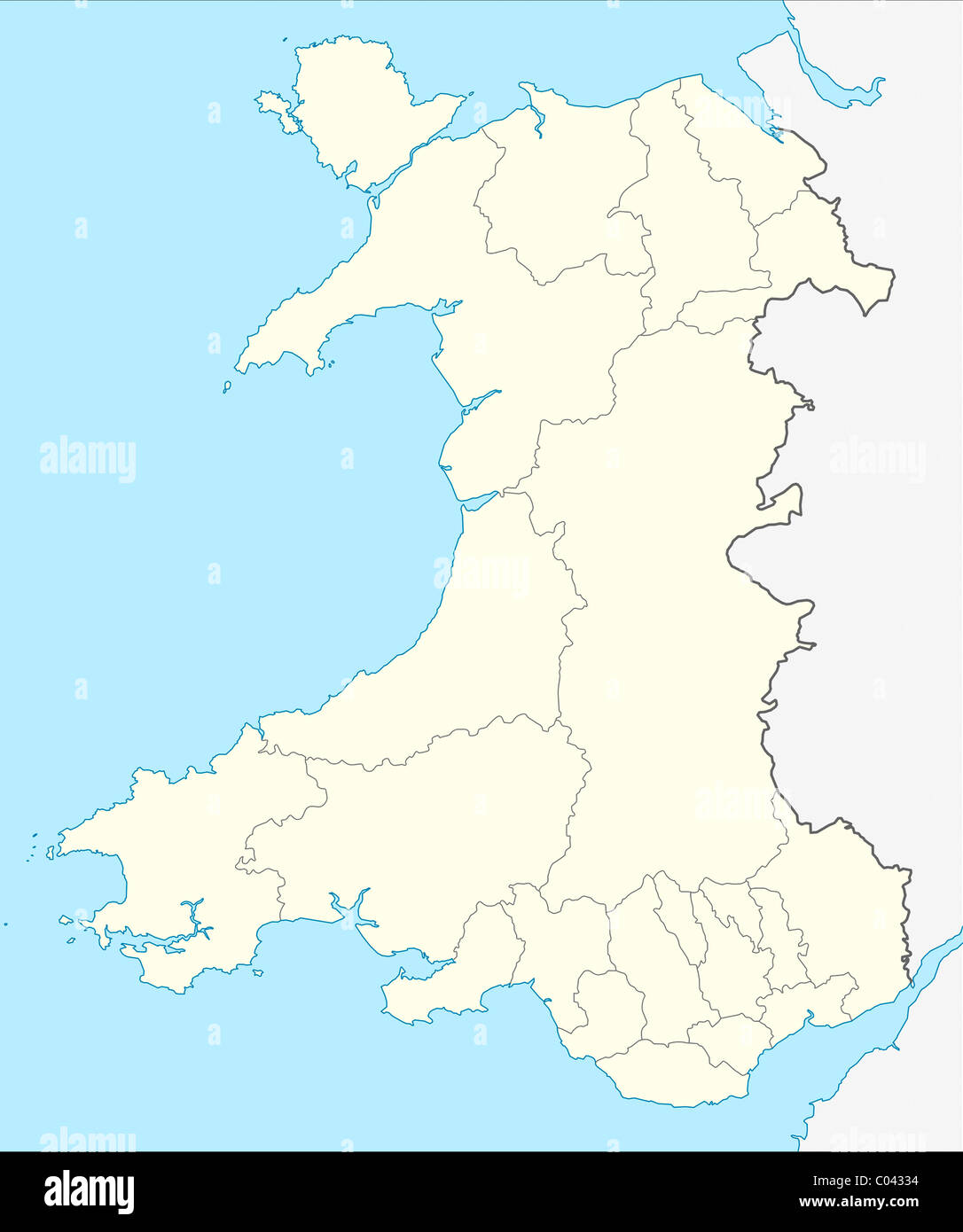 Illustrated map of the country of Wales in Europe. Stock Photohttps://www.alamy.com/image-license-details/?v=1https://www.alamy.com/stock-photo-illustrated-map-of-the-country-of-wales-in-europe-34510984.html
RMC04334–Illustrated map of the country of Wales in Europe.
 england and wales map United Kingdom Cynulliad Cenedlaethol Cymru Roman occupation Stock Photohttps://www.alamy.com/image-license-details/?v=1https://www.alamy.com/stock-photo-england-and-wales-map-united-kingdom-cynulliad-cenedlaethol-cymru-20686396.html
RFB5J9KT–england and wales map United Kingdom Cynulliad Cenedlaethol Cymru Roman occupation
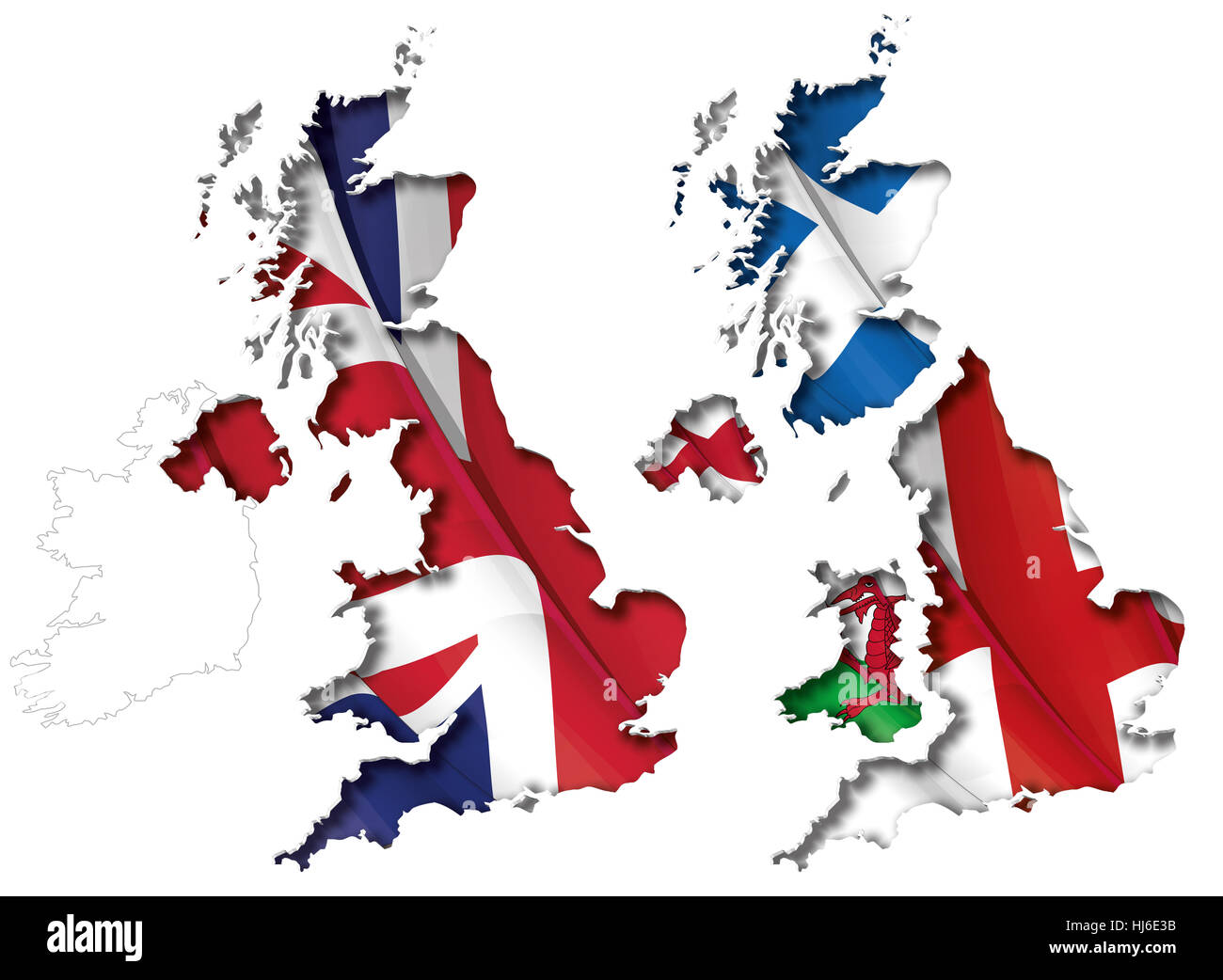 england, scotland, britain, cut out, wales, map, atlas, map of the world, cut Stock Photohttps://www.alamy.com/image-license-details/?v=1https://www.alamy.com/stock-photo-england-scotland-britain-cut-out-wales-map-atlas-map-of-the-world-131679167.html
RFHJ6E3B–england, scotland, britain, cut out, wales, map, atlas, map of the world, cut
 Joan Blaeu, Wales Map, 17th Century Stock Photohttps://www.alamy.com/image-license-details/?v=1https://www.alamy.com/joan-blaeu-wales-map-17th-century-image245869479.html
RMT8090R–Joan Blaeu, Wales Map, 17th Century
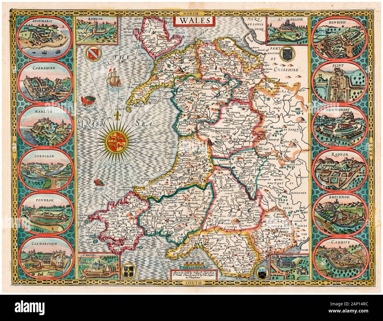 Old vintage Map of Wales, early 17th Century, illustration by John Speed, 1610 Stock Photohttps://www.alamy.com/image-license-details/?v=1https://www.alamy.com/old-vintage-map-of-wales-early-17th-century-illustration-by-john-speed-1610-image340545168.html
RM2AP14RC–Old vintage Map of Wales, early 17th Century, illustration by John Speed, 1610
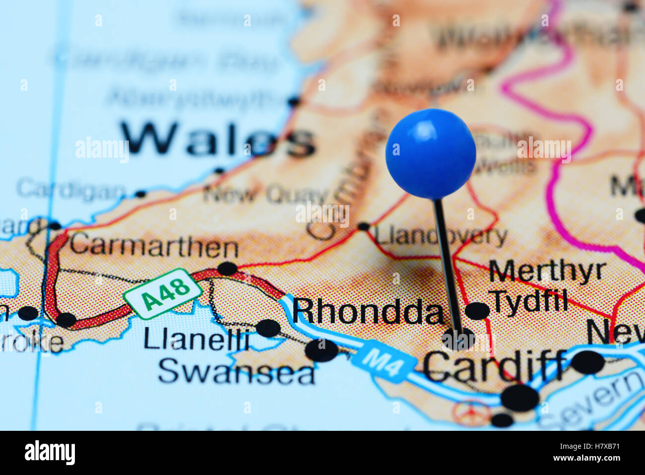 Rhondda pinned on a map of Wales Stock Photohttps://www.alamy.com/image-license-details/?v=1https://www.alamy.com/stock-photo-rhondda-pinned-on-a-map-of-wales-125354741.html
RFH7XB71–Rhondda pinned on a map of Wales
 A Short History of Wales Map Industries Stock Photohttps://www.alamy.com/image-license-details/?v=1https://www.alamy.com/stock-image-a-short-history-of-wales-map-industries-162783164.html
RMKCRBGC–A Short History of Wales Map Industries
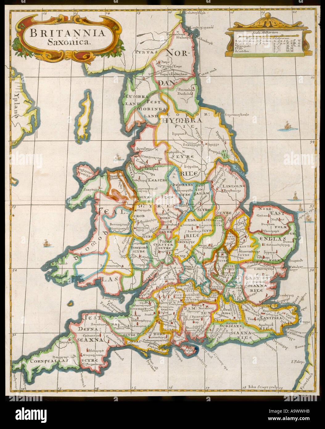 Map England Wales 9c Stock Photohttps://www.alamy.com/image-license-details/?v=1https://www.alamy.com/map-england-wales-9c-image7113690.html
RMA9WWHB–Map England Wales 9c
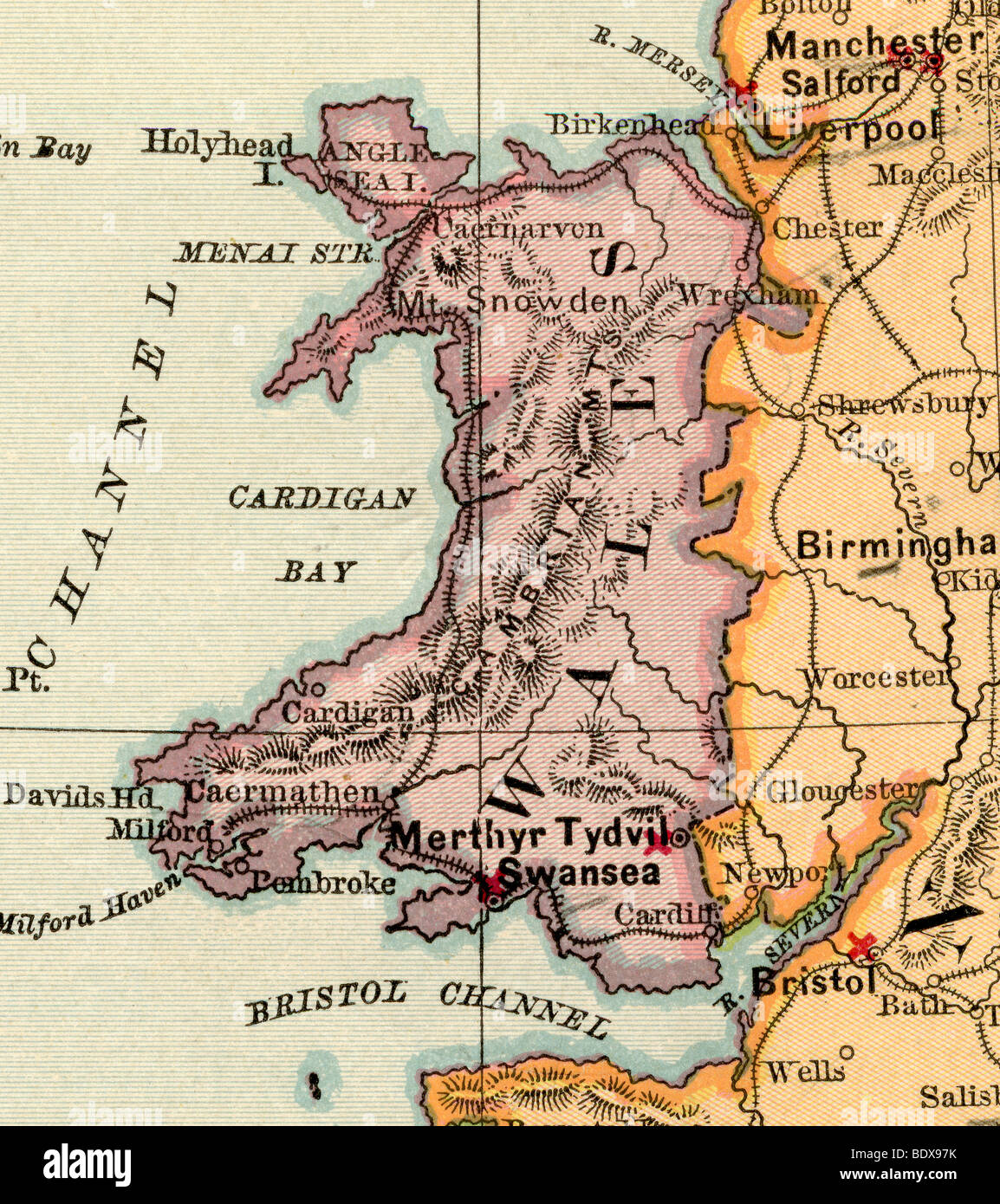 Original old map of Wales from 1875 geography textbook Stock Photohttps://www.alamy.com/image-license-details/?v=1https://www.alamy.com/stock-photo-original-old-map-of-wales-from-1875-geography-textbook-25778919.html
RMBDX97K–Original old map of Wales from 1875 geography textbook
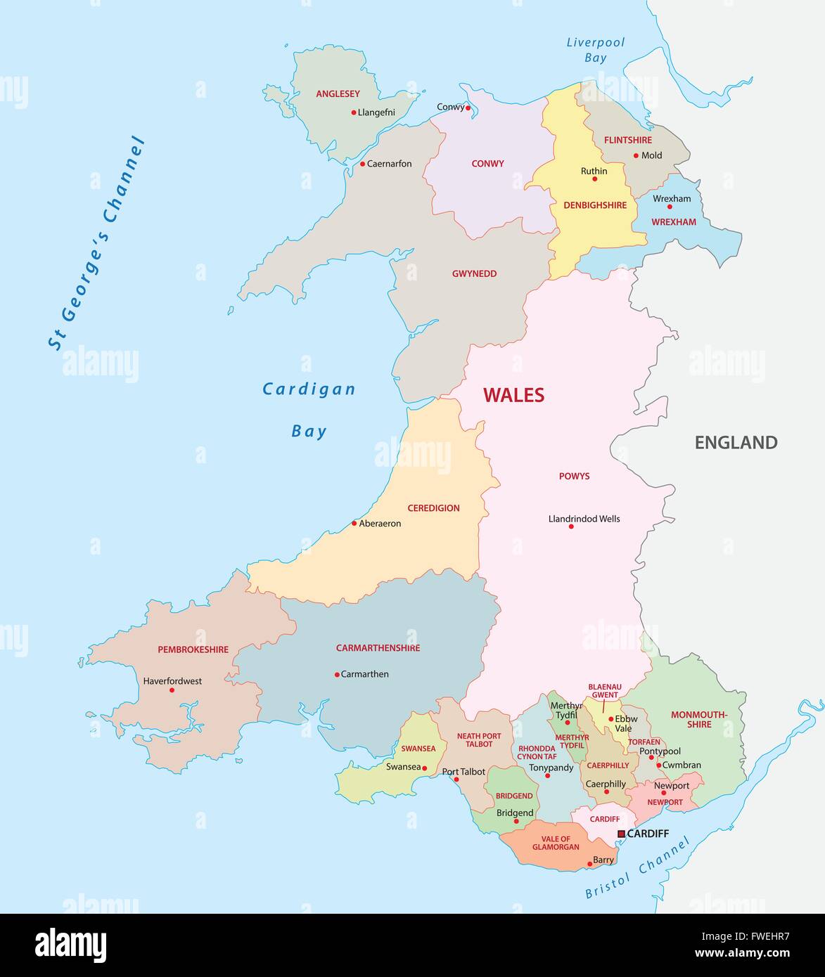 wales administrative map Stock Vectorhttps://www.alamy.com/image-license-details/?v=1https://www.alamy.com/stock-photo-wales-administrative-map-101739547.html
RFFWEHR7–wales administrative map
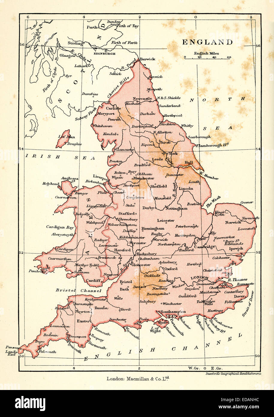 Antique map of England and Wales, 1900 Stock Photohttps://www.alamy.com/image-license-details/?v=1https://www.alamy.com/stock-photo-antique-map-of-england-and-wales-1900-77068472.html
RMEDANHC–Antique map of England and Wales, 1900
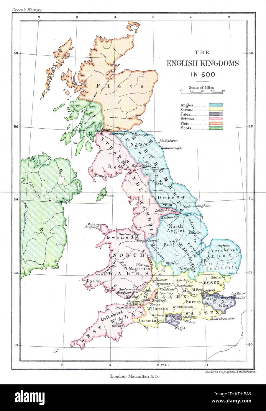 Map of the English kingdoms in 600 AD Stock Photohttps://www.alamy.com/image-license-details/?v=1https://www.alamy.com/stock-image-map-of-the-english-kingdoms-in-600-ad-163265937.html
RMKDHBA9–Map of the English kingdoms in 600 AD
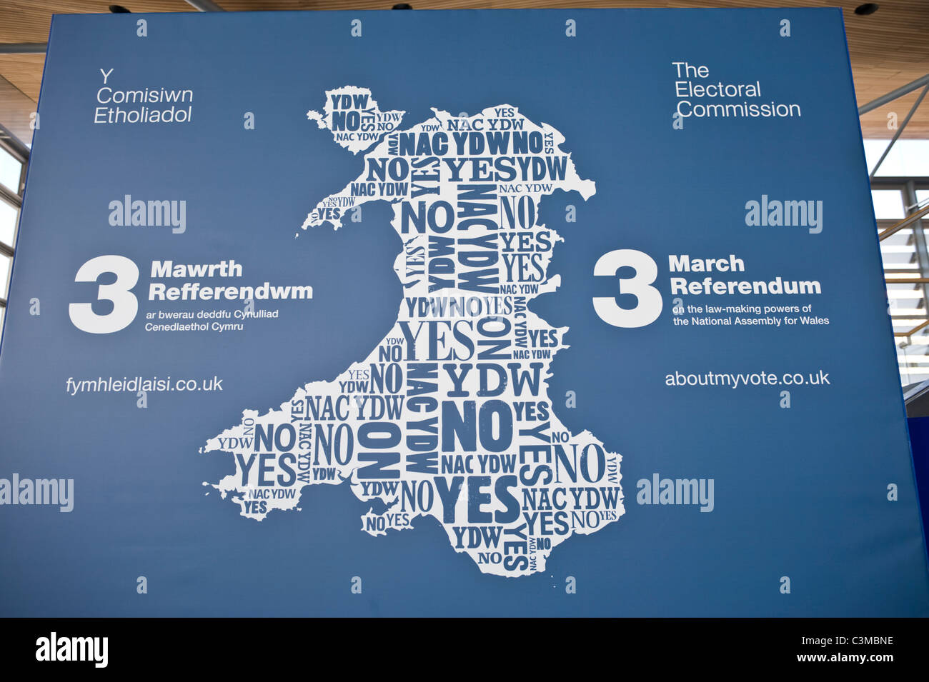 Electoral Commission map of Wales for 2011 referendum to decide if National Assembly should be given greater law-making powers Stock Photohttps://www.alamy.com/image-license-details/?v=1https://www.alamy.com/stock-photo-electoral-commission-map-of-wales-for-2011-referendum-to-decide-if-36712970.html
RMC3MBNE–Electoral Commission map of Wales for 2011 referendum to decide if National Assembly should be given greater law-making powers
 Outline map of Wales Stock Photohttps://www.alamy.com/image-license-details/?v=1https://www.alamy.com/stock-photo-outline-map-of-wales-16202825.html
RFAT4WAJ–Outline map of Wales
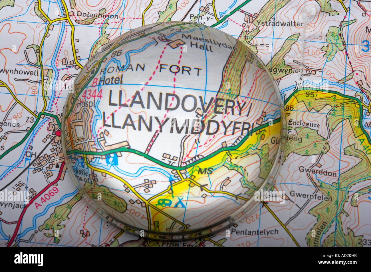 Magnified Map Area of Llandovery, Wales, UK Stock Photohttps://www.alamy.com/image-license-details/?v=1https://www.alamy.com/magnified-map-area-of-llandovery-wales-uk-image7587354.html
RMAD20HB–Magnified Map Area of Llandovery, Wales, UK
 United Kingdom countries and Ireland political map. England, Scotland, Wales and Northern Ireland. Stock Photohttps://www.alamy.com/image-license-details/?v=1https://www.alamy.com/stock-photo-united-kingdom-countries-and-ireland-political-map-england-scotland-125781183.html
RFH8HR53–United Kingdom countries and Ireland political map. England, Scotland, Wales and Northern Ireland.
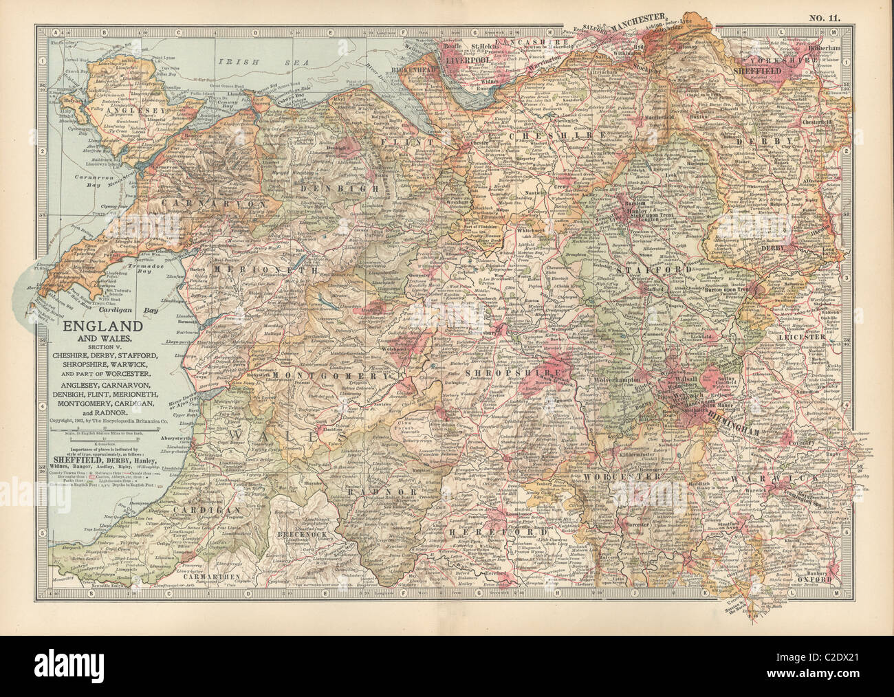 Map of England and Wales Stock Photohttps://www.alamy.com/image-license-details/?v=1https://www.alamy.com/stock-photo-map-of-england-and-wales-35955865.html
RMC2DX21–Map of England and Wales
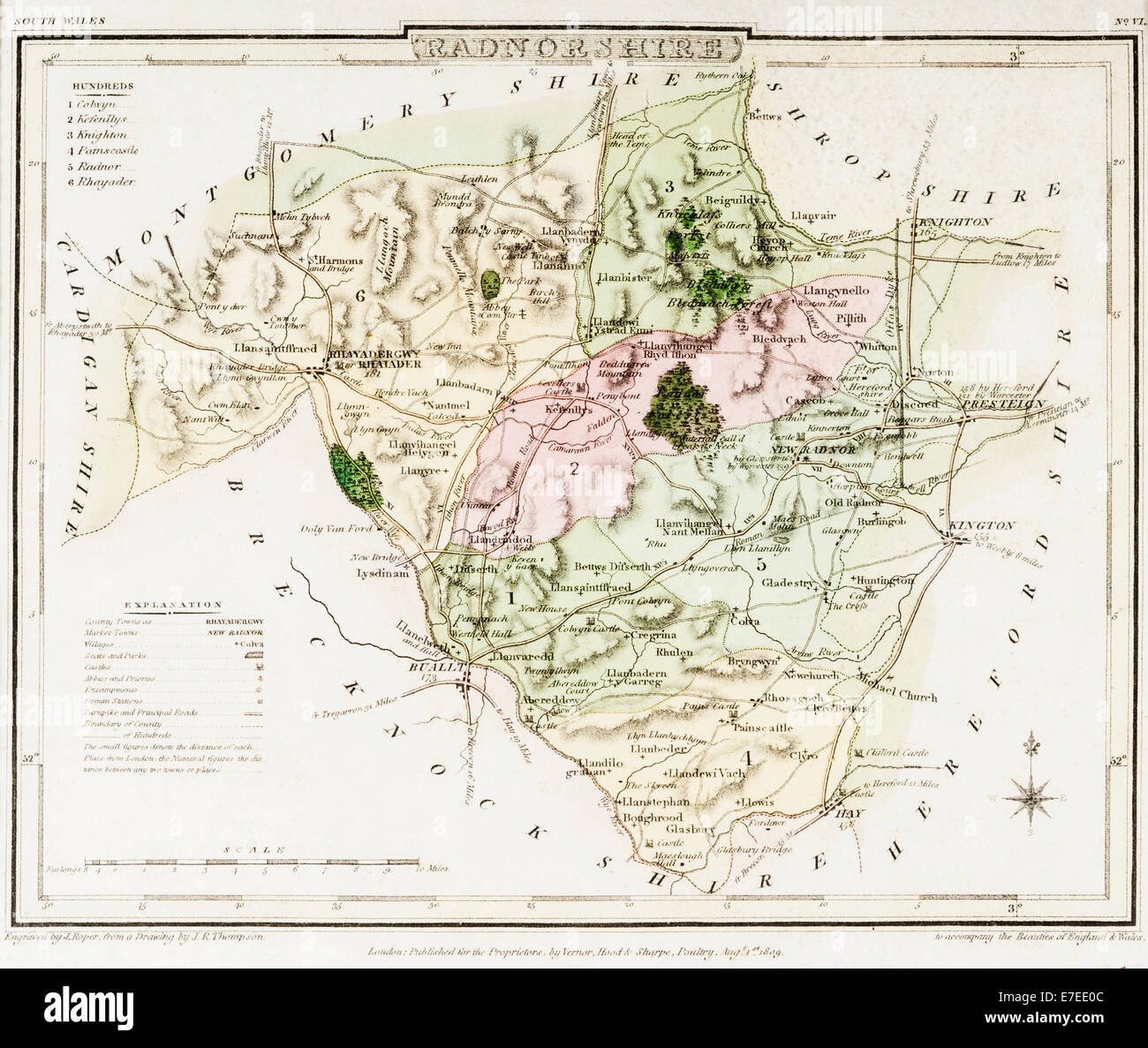 An old map of the county of Radnorshire, now part of Powys, Wales, UK. Dated 1809 Stock Photohttps://www.alamy.com/image-license-details/?v=1https://www.alamy.com/stock-photo-an-old-map-of-the-county-of-radnorshire-now-part-of-powys-wales-uk-73462380.html
RME7EE0C–An old map of the county of Radnorshire, now part of Powys, Wales, UK. Dated 1809
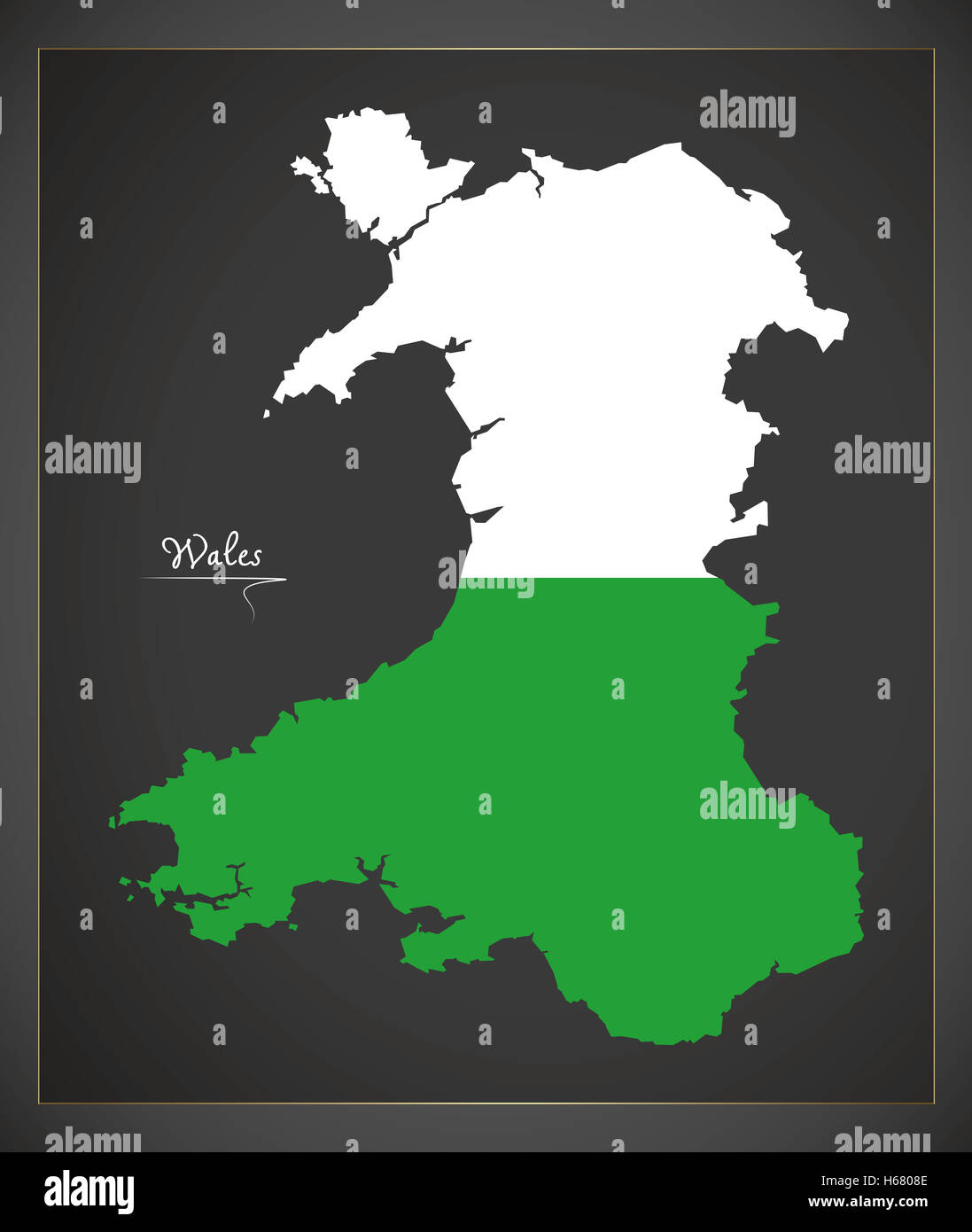 Wales map artwork with national flag colors illustration Stock Photohttps://www.alamy.com/image-license-details/?v=1https://www.alamy.com/stock-photo-wales-map-artwork-with-national-flag-colors-illustration-124336366.html
RFH6808E–Wales map artwork with national flag colors illustration
 Silhouette map of Wales in the United Kingdom Stock Photohttps://www.alamy.com/image-license-details/?v=1https://www.alamy.com/stock-photo-silhouette-map-of-wales-in-the-united-kingdom-90569319.html
RFF79P2F–Silhouette map of Wales in the United Kingdom
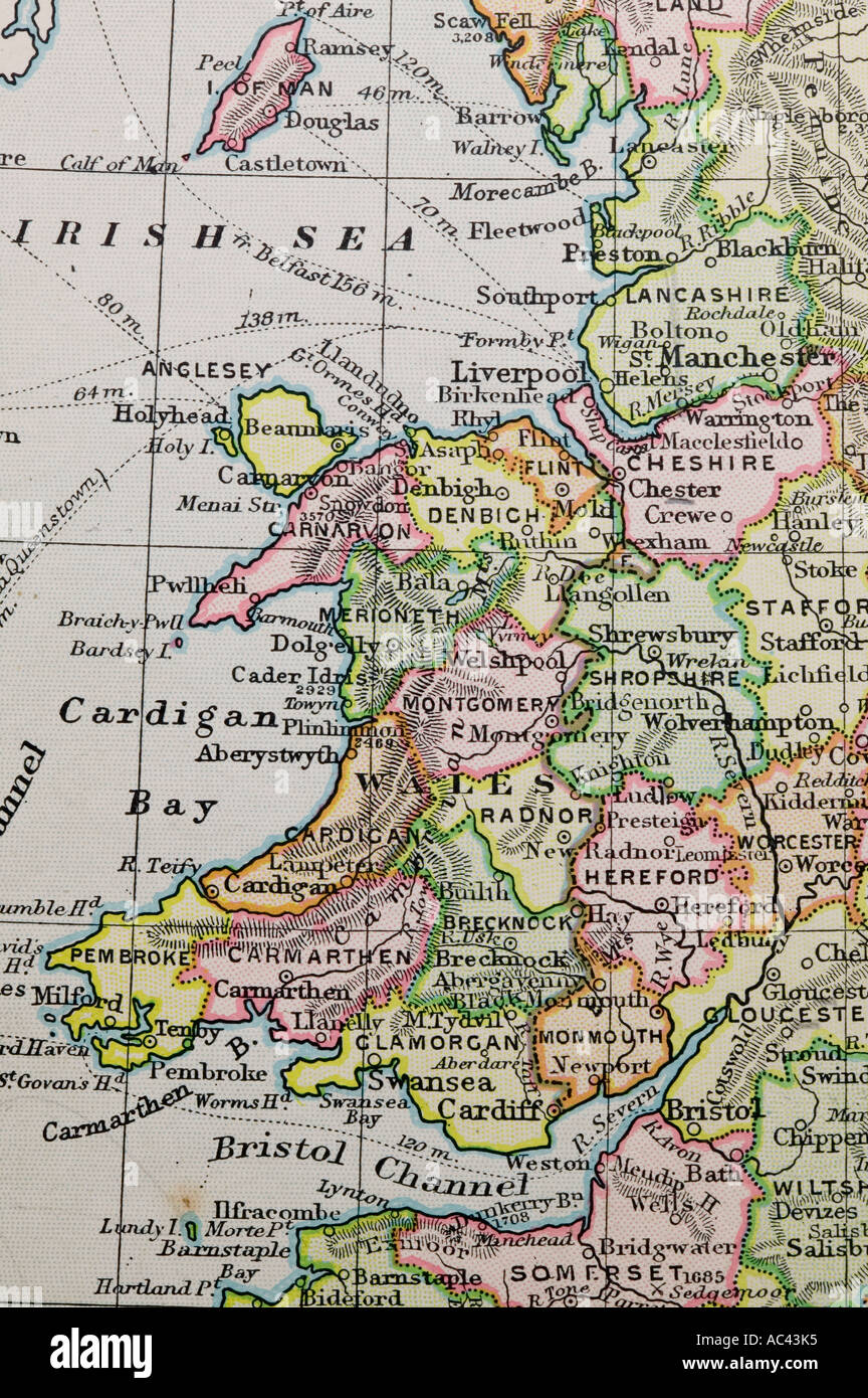 an old 100 year old map of Wales Stock Photohttps://www.alamy.com/image-license-details/?v=1https://www.alamy.com/an-old-100-year-old-map-of-wales-image7448180.html
RMAC43K5–an old 100 year old map of Wales
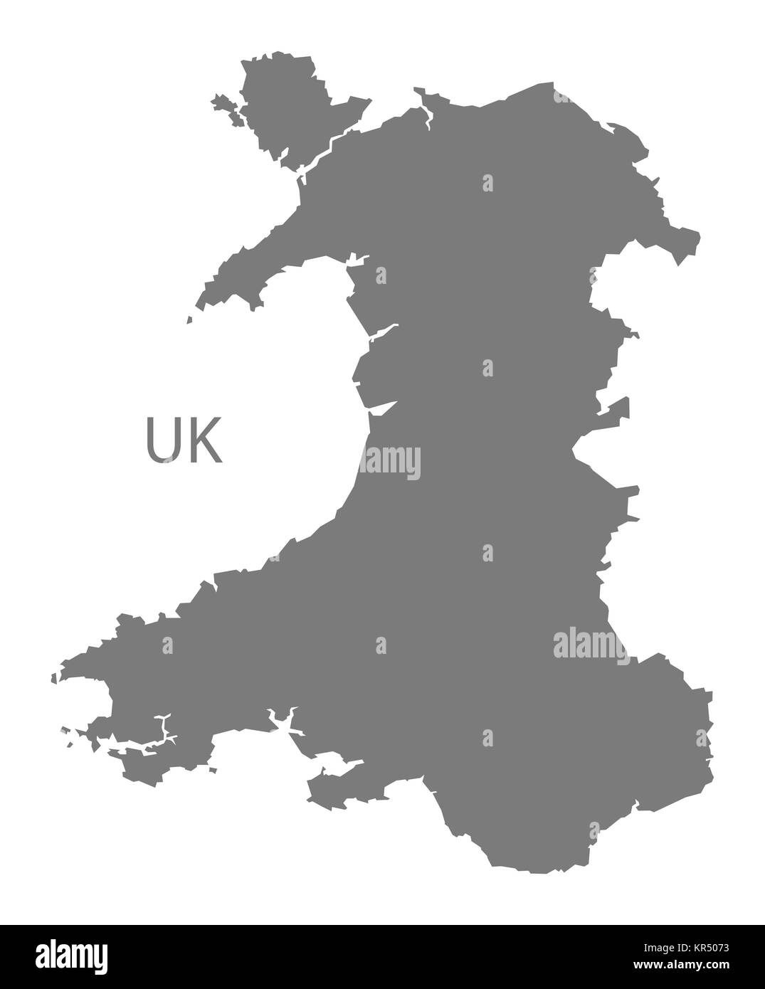 Wales Map grey Stock Photohttps://www.alamy.com/image-license-details/?v=1https://www.alamy.com/stock-image-wales-map-grey-169140359.html
RFKR5073–Wales Map grey
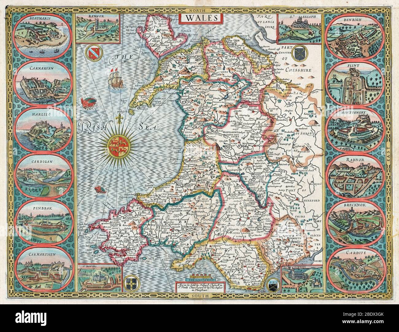 John Speed, Wales Map, 1611 Stock Photohttps://www.alamy.com/image-license-details/?v=1https://www.alamy.com/john-speed-wales-map-1611-image352771459.html
RM2BDX3GK–John Speed, Wales Map, 1611
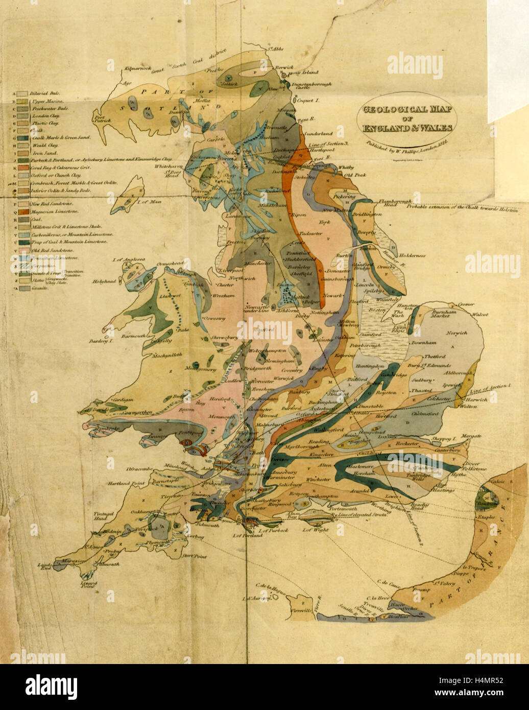 Outlines of the Geology of England and Wales, map, 19th century engraving Stock Photohttps://www.alamy.com/image-license-details/?v=1https://www.alamy.com/stock-photo-outlines-of-the-geology-of-england-and-wales-map-19th-century-engraving-123388414.html
RMH4MR52–Outlines of the Geology of England and Wales, map, 19th century engraving
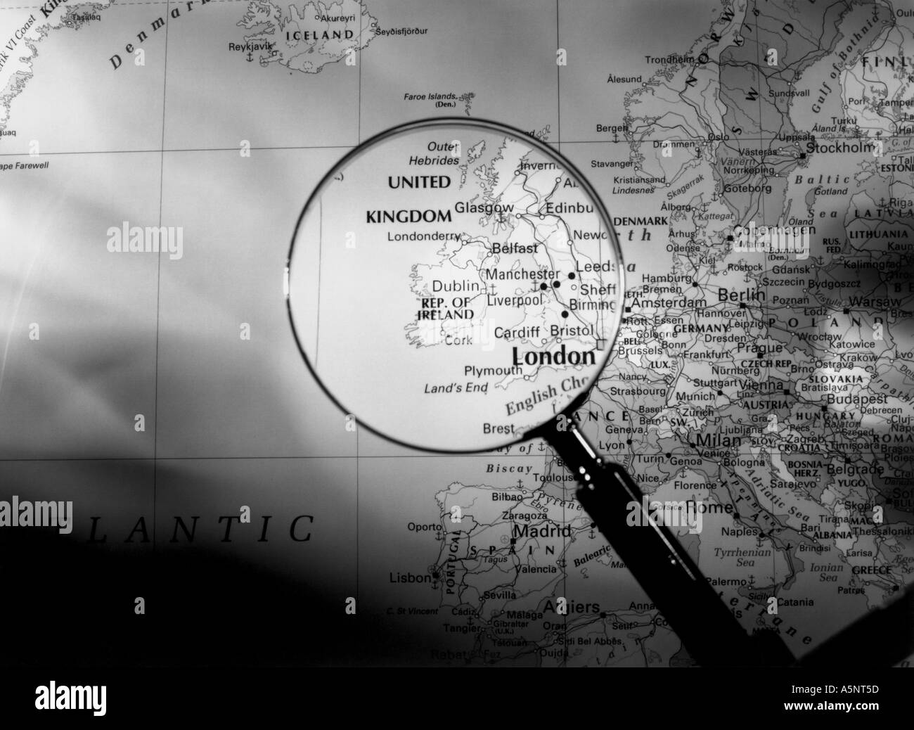 A map and magnifying glass showing the United Kingdom Stock Photohttps://www.alamy.com/image-license-details/?v=1https://www.alamy.com/a-map-and-magnifying-glass-showing-the-united-kingdom-image3707996.html
RMA5NT5D–A map and magnifying glass showing the United Kingdom
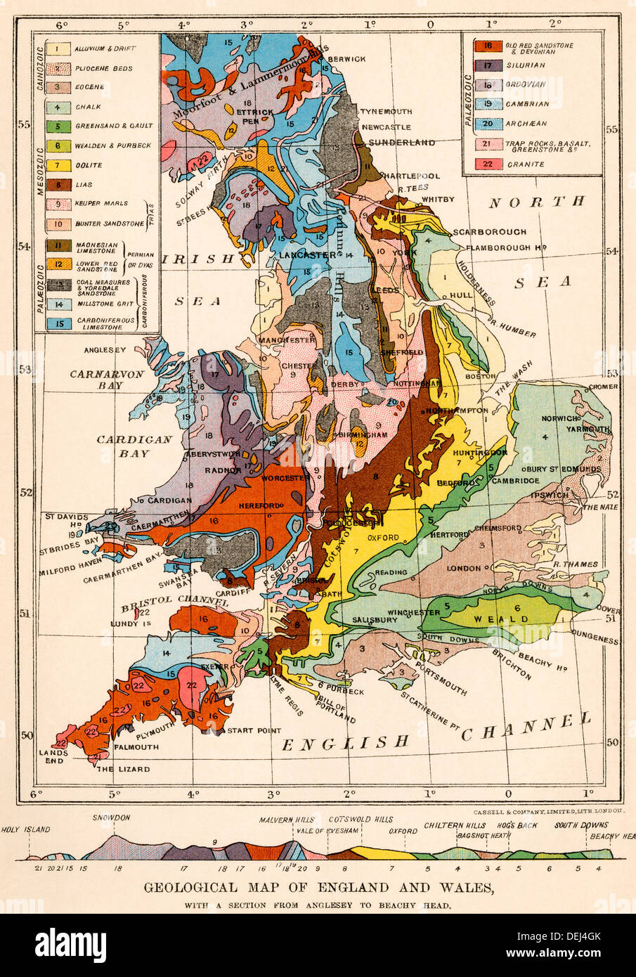 Geological map of England and Wales. Color lithograph Stock Photohttps://www.alamy.com/image-license-details/?v=1https://www.alamy.com/geological-map-of-england-and-wales-color-lithograph-image60635027.html
RMDEJ4GK–Geological map of England and Wales. Color lithograph
 Map of the Road from Carmarthen To Aberystwith, Wales Stock Photohttps://www.alamy.com/image-license-details/?v=1https://www.alamy.com/map-of-the-road-from-carmarthen-to-aberystwith-wales-image504914695.html
RM2M9CRRK–Map of the Road from Carmarthen To Aberystwith, Wales
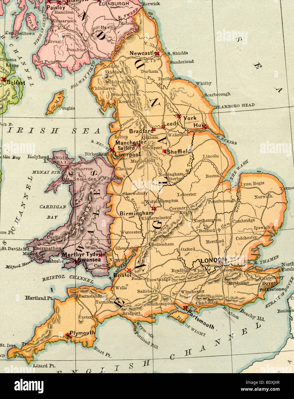 Original old map of England and Wales from 1875 geography textbook Stock Photohttps://www.alamy.com/image-license-details/?v=1https://www.alamy.com/stock-photo-original-old-map-of-england-and-wales-from-1875-geography-textbook-25786511.html
RMBDXJXR–Original old map of England and Wales from 1875 geography textbook
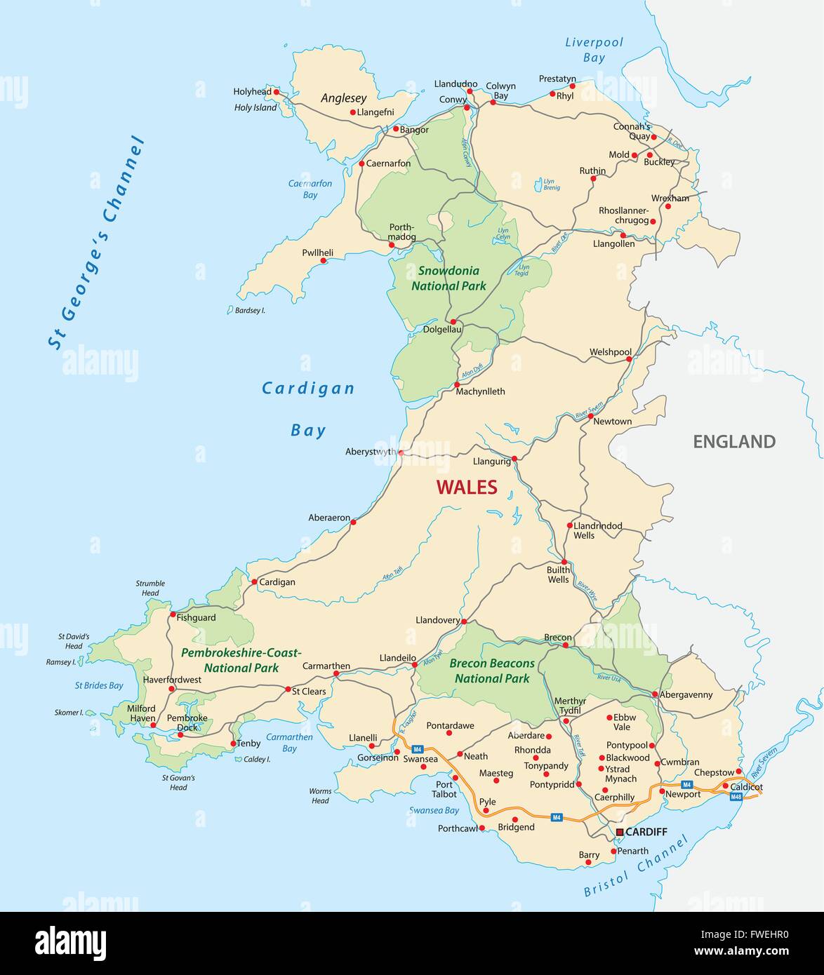 wales road and national park map Stock Vectorhttps://www.alamy.com/image-license-details/?v=1https://www.alamy.com/stock-photo-wales-road-and-national-park-map-101739540.html
RFFWEHR0–wales road and national park map
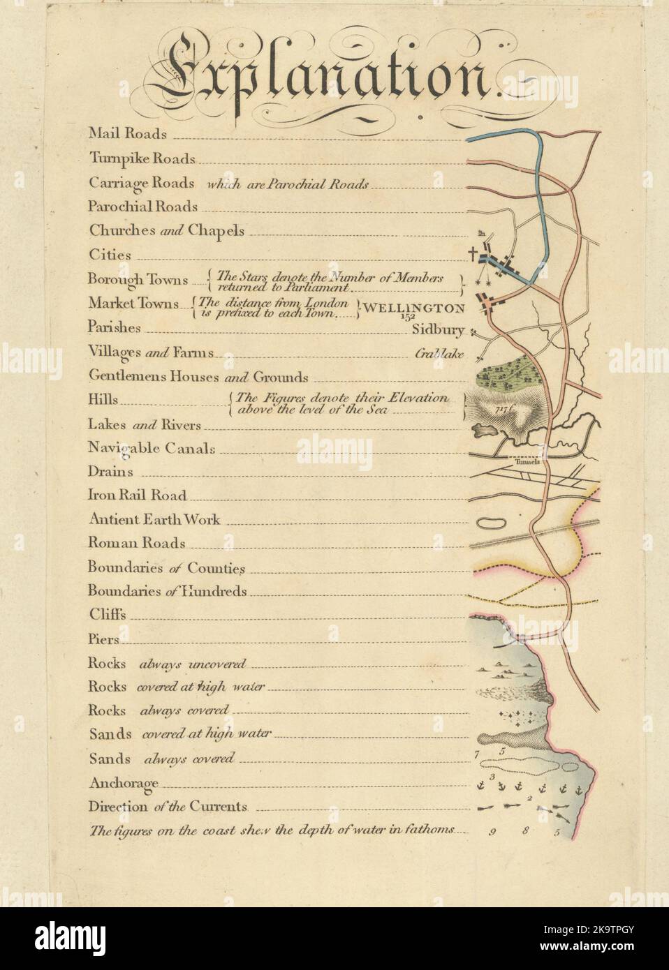 Cary's Improved Map of England and Wales - Map key explanation. G & J Cary 1832 Stock Photohttps://www.alamy.com/image-license-details/?v=1https://www.alamy.com/carys-improved-map-of-england-and-wales-map-key-explanation-g-j-cary-1832-image487966779.html
RF2K9TPGY–Cary's Improved Map of England and Wales - Map key explanation. G & J Cary 1832
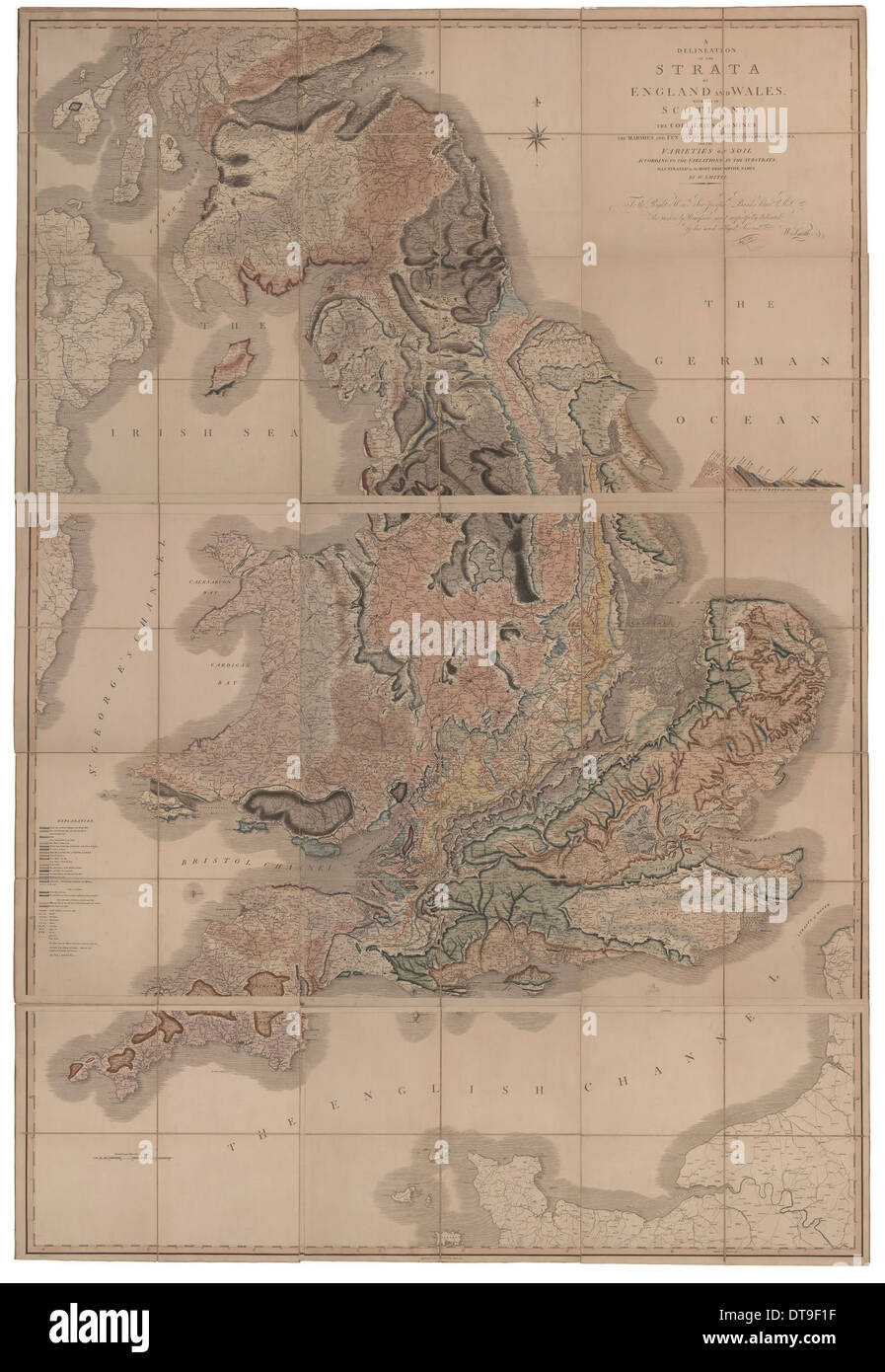 Delineation of the Strata of England and Wales with a Part of Scotland (The first geological map of Artist: Smith, William (1769-1839) Stock Photohttps://www.alamy.com/image-license-details/?v=1https://www.alamy.com/delineation-of-the-strata-of-england-and-wales-with-a-part-of-scotland-image66592219.html
RMDT9F1F–Delineation of the Strata of England and Wales with a Part of Scotland (The first geological map of Artist: Smith, William (1769-1839)
 'England & Wales', 1859. Artist: Unknown. Stock Photohttps://www.alamy.com/image-license-details/?v=1https://www.alamy.com/england-wales-1859-artist-unknown-image262790862.html
RMW7F4BX–'England & Wales', 1859. Artist: Unknown.
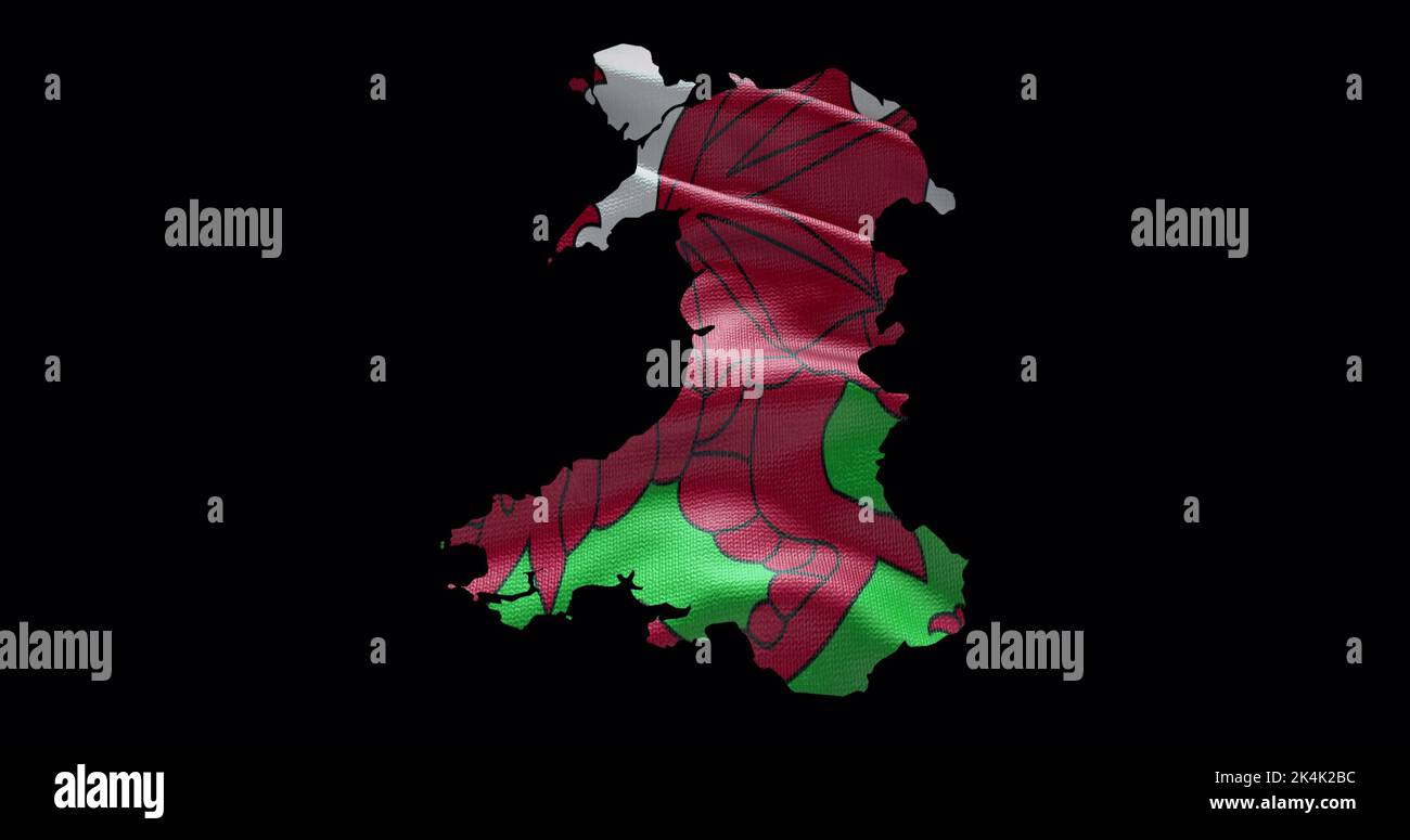 Wales map shape with waving flag background. Alpha channel outline of country. Stock Photohttps://www.alamy.com/image-license-details/?v=1https://www.alamy.com/wales-map-shape-with-waving-flag-background-alpha-channel-outline-of-country-image484767904.html
RF2K4K2BC–Wales map shape with waving flag background. Alpha channel outline of country.
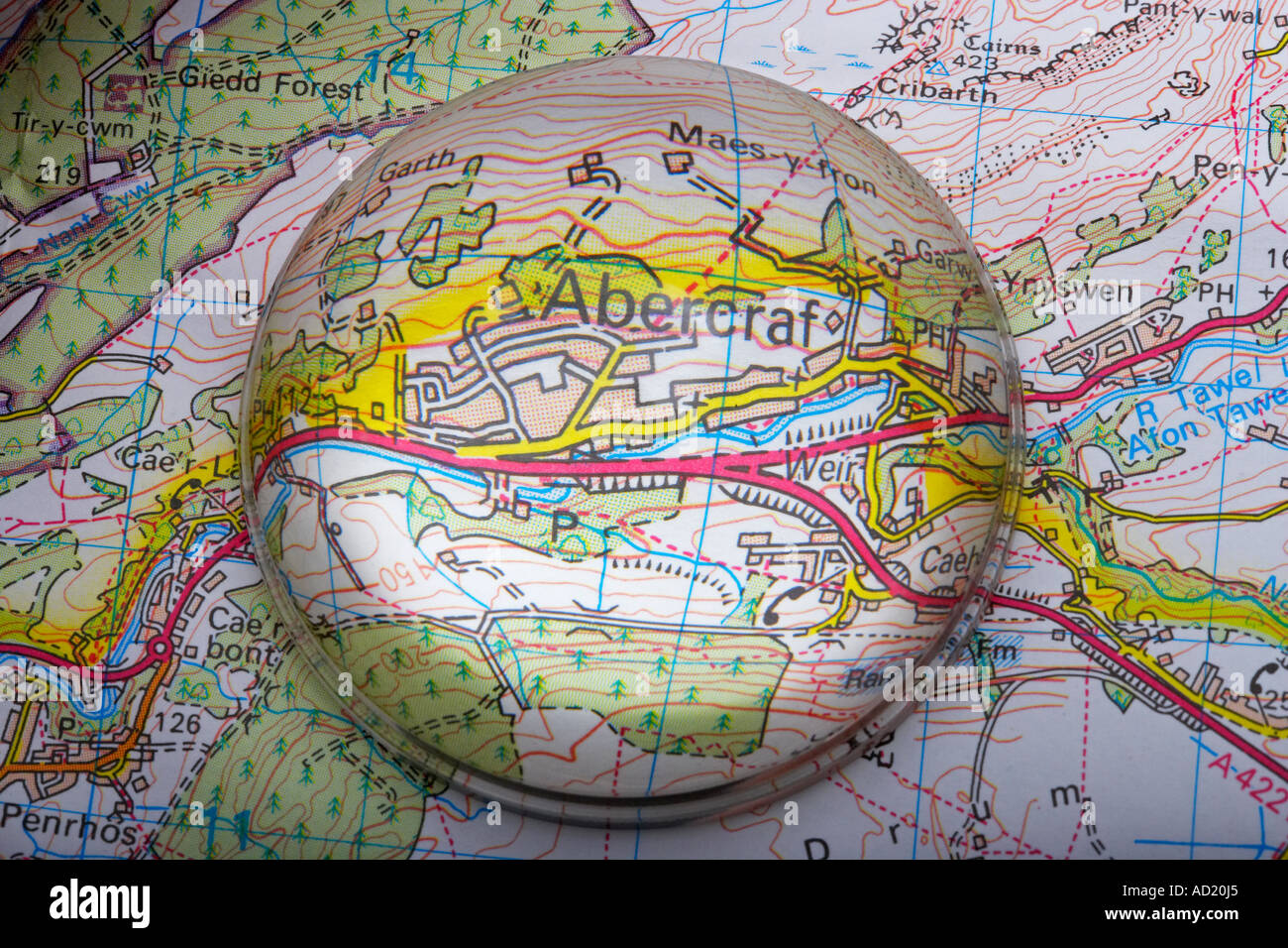 Magnified Map Area of Abercraf in Wales, UK Stock Photohttps://www.alamy.com/image-license-details/?v=1https://www.alamy.com/magnified-map-area-of-abercraf-in-wales-uk-image7587364.html
RMAD20J5–Magnified Map Area of Abercraf in Wales, UK
RF2YWCXFG–wales map icon illustration design
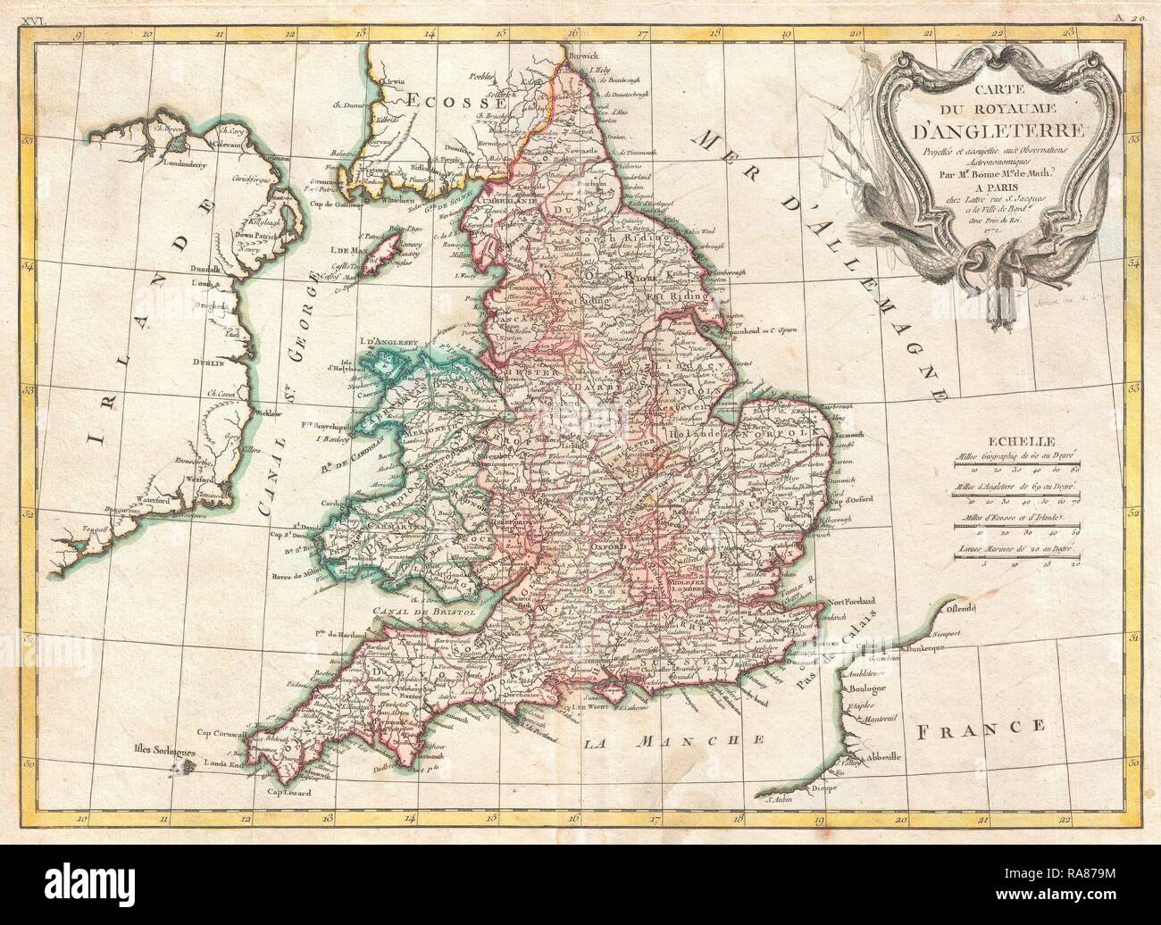 1772, Bonne Map of England and Wales, Rigobert Bonne 1727 – 1794, one of the most important cartographers of the late reimagined Stock Photohttps://www.alamy.com/image-license-details/?v=1https://www.alamy.com/1772-bonne-map-of-england-and-wales-rigobert-bonne-1727-1794-one-of-the-most-important-cartographers-of-the-late-reimagined-image230062720.html
RFRA879M–1772, Bonne Map of England and Wales, Rigobert Bonne 1727 – 1794, one of the most important cartographers of the late reimagined
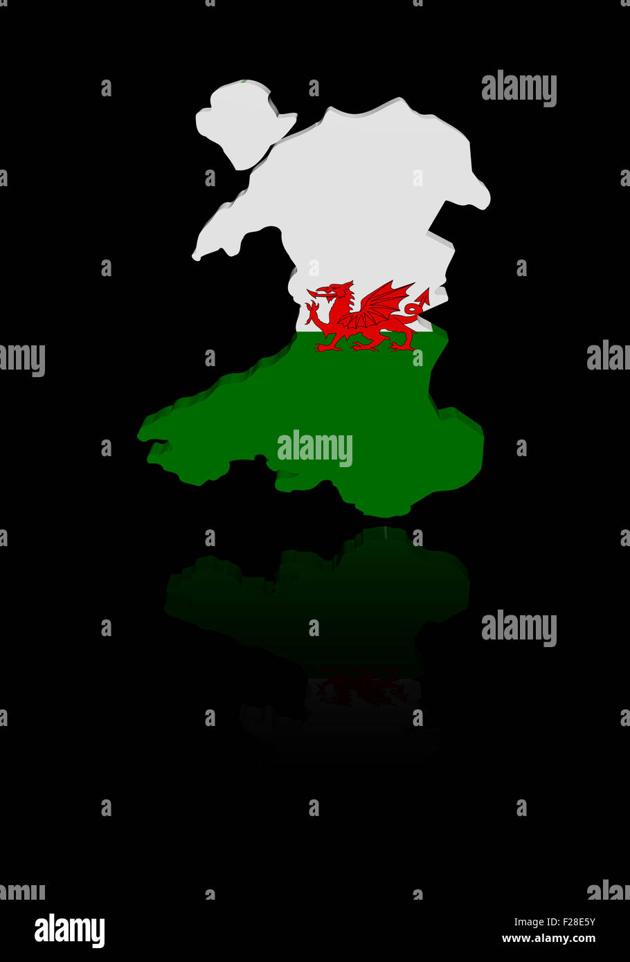 Wales map flag with reflection illustration Stock Photohttps://www.alamy.com/image-license-details/?v=1https://www.alamy.com/stock-photo-wales-map-flag-with-reflection-illustration-87467911.html
RFF28E5Y–Wales map flag with reflection illustration
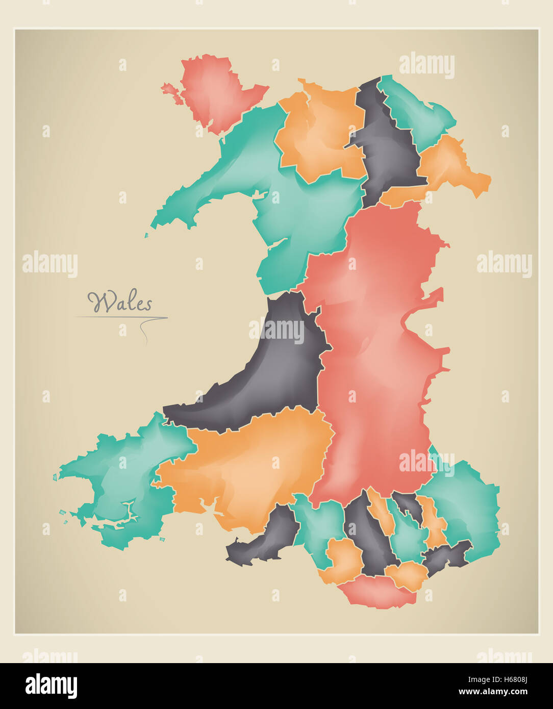 Wales map artwork 3D color illustration Stock Photohttps://www.alamy.com/image-license-details/?v=1https://www.alamy.com/stock-photo-wales-map-artwork-3d-color-illustration-124336370.html
RFH6808J–Wales map artwork 3D color illustration
 Wales map vector illustration. Global economy. Famous country. Northern Europe. Europe. UK region. Stock Vectorhttps://www.alamy.com/image-license-details/?v=1https://www.alamy.com/wales-map-vector-illustration-global-economy-famous-country-northern-europe-europe-uk-region-image499270163.html
RF2M07M57–Wales map vector illustration. Global economy. Famous country. Northern Europe. Europe. UK region.
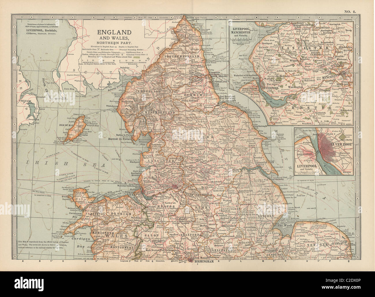 Map of England and Wales Stock Photohttps://www.alamy.com/image-license-details/?v=1https://www.alamy.com/stock-photo-map-of-england-and-wales-35955830.html
RMC2DX0P–Map of England and Wales
 Wales Map and Flag Vector Stock Vectorhttps://www.alamy.com/image-license-details/?v=1https://www.alamy.com/wales-map-and-flag-vector-image574511703.html
RF2TAK7F3–Wales Map and Flag Vector
 Wales map with clipping path Stock Photohttps://www.alamy.com/image-license-details/?v=1https://www.alamy.com/wales-map-with-clipping-path-image613909669.html
RF2XJP019–Wales map with clipping path
 Outlines of the Geology of England and Wales, map, 19th century engraving Stock Photohttps://www.alamy.com/image-license-details/?v=1https://www.alamy.com/stock-photo-outlines-of-the-geology-of-england-and-wales-map-19th-century-engraving-77457708.html
RMEE0E2M–Outlines of the Geology of England and Wales, map, 19th century engraving
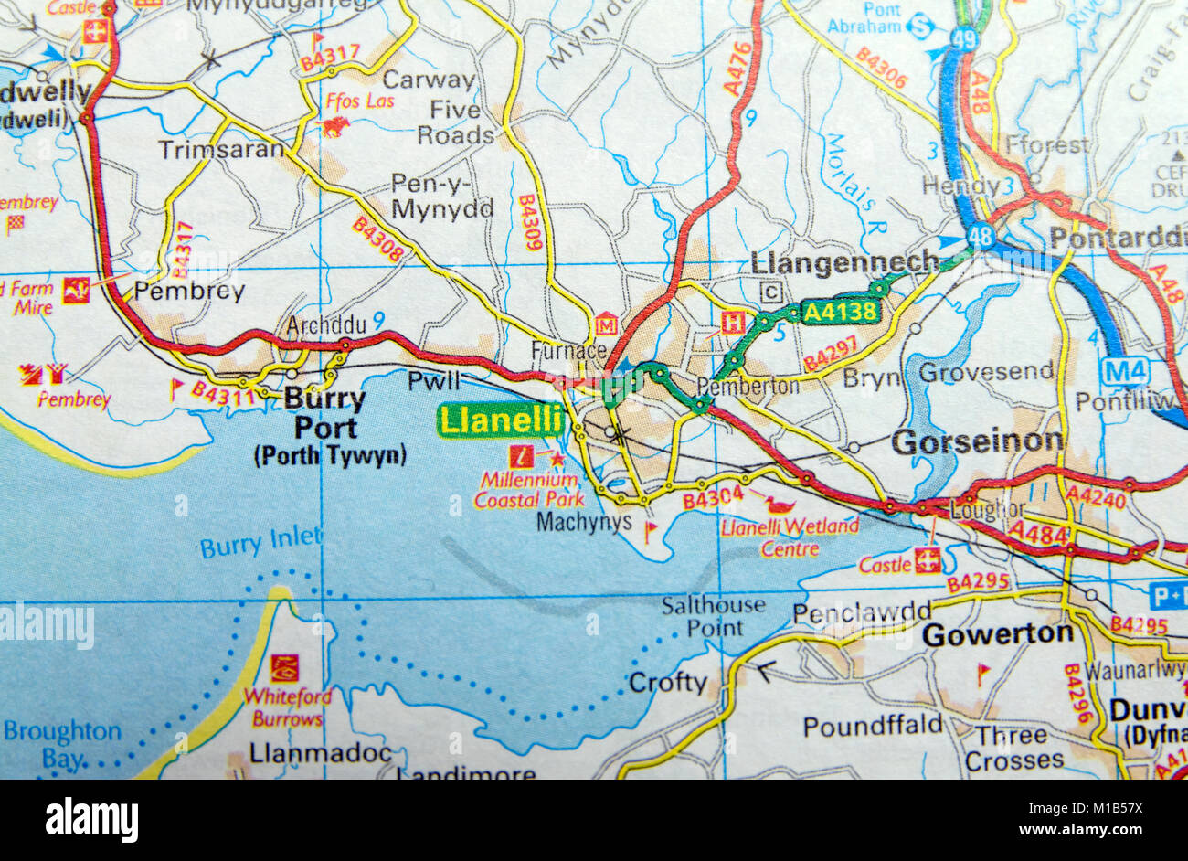 Road Map of Llanelli, Wales. Stock Photohttps://www.alamy.com/image-license-details/?v=1https://www.alamy.com/stock-photo-road-map-of-llanelli-wales-172963950.html
RMM1B57X–Road Map of Llanelli, Wales.
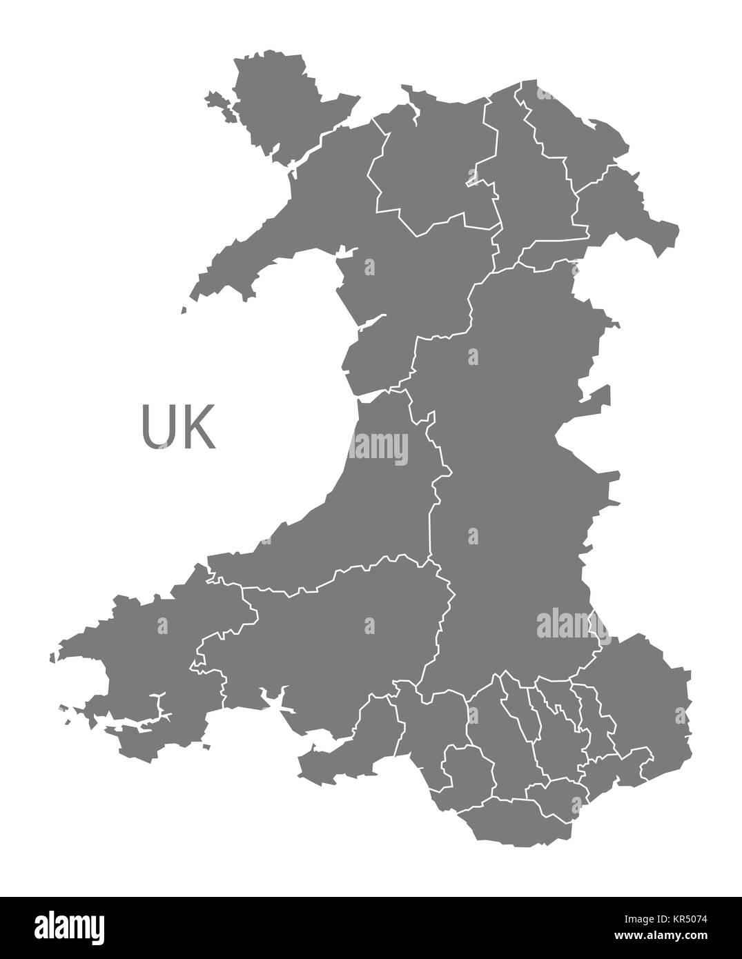 Wales Map grey Stock Photohttps://www.alamy.com/image-license-details/?v=1https://www.alamy.com/stock-image-wales-map-grey-169140360.html
RFKR5074–Wales Map grey
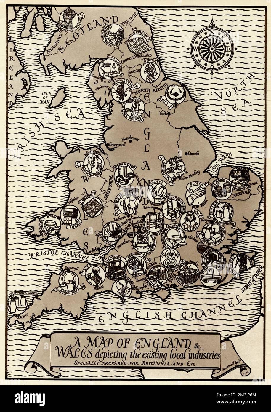 Map of the Industries in England and Wales Stock Photohttps://www.alamy.com/image-license-details/?v=1https://www.alamy.com/map-of-the-industries-in-england-and-wales-image501357212.html
RM2M3JP6M–Map of the Industries in England and Wales
 Isolated New South Wales map marker pin in flat web design style. Stock Photohttps://www.alamy.com/image-license-details/?v=1https://www.alamy.com/stock-photo-isolated-new-south-wales-map-marker-pin-in-flat-web-design-style-74815564.html
RME9M40C–Isolated New South Wales map marker pin in flat web design style.
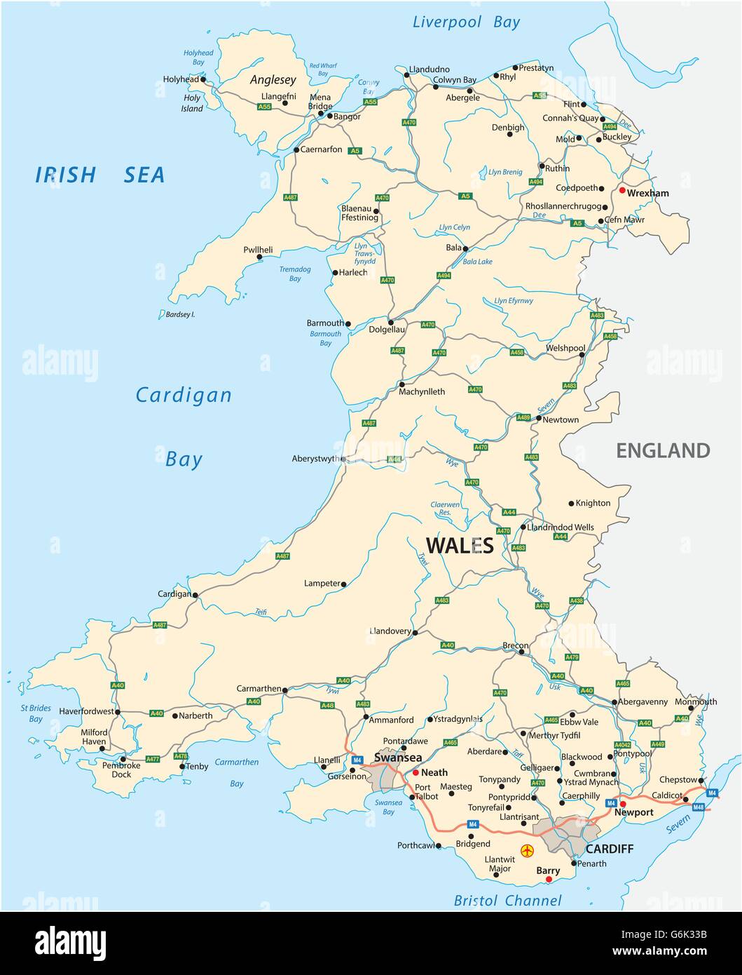 vector road map of the British territory of wales Stock Vectorhttps://www.alamy.com/image-license-details/?v=1https://www.alamy.com/stock-photo-vector-road-map-of-the-british-territory-of-wales-107369679.html
RFG6K33B–vector road map of the British territory of wales
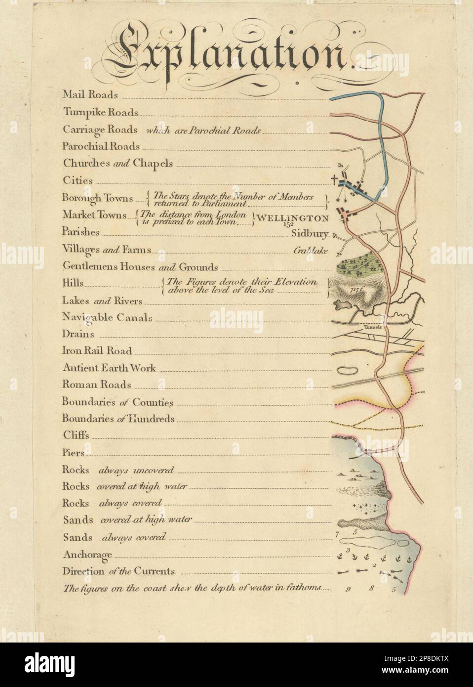 Cary's Improved Map of England and Wales - Map key explanation. G & J Cary 1832 Stock Photohttps://www.alamy.com/image-license-details/?v=1https://www.alamy.com/carys-improved-map-of-england-and-wales-map-key-explanation-g-j-cary-1832-image538739626.html
RF2P8DKTX–Cary's Improved Map of England and Wales - Map key explanation. G & J Cary 1832
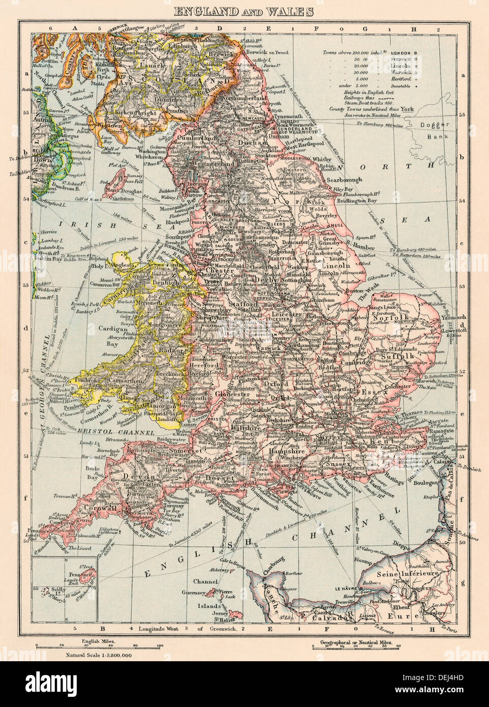 Map of England and Wales, 1870s. Color lithograph Stock Photohttps://www.alamy.com/image-license-details/?v=1https://www.alamy.com/map-of-england-and-wales-1870s-color-lithograph-image60635049.html
RMDEJ4HD–Map of England and Wales, 1870s. Color lithograph
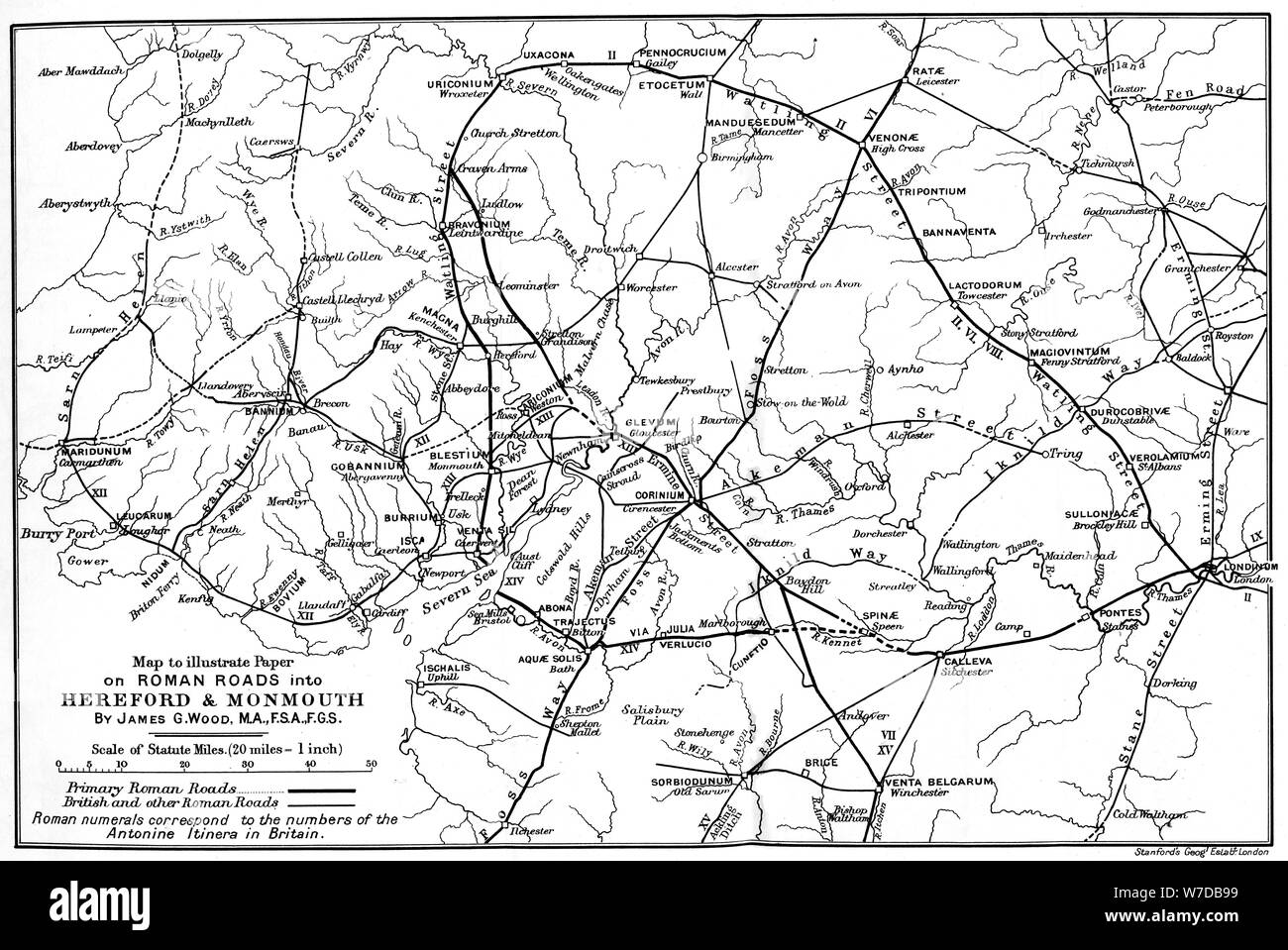 Roman roads into Hereford and Monmouth.Artist: James G Wood Stock Photohttps://www.alamy.com/image-license-details/?v=1https://www.alamy.com/roman-roads-into-hereford-and-monmouthartist-james-g-wood-image262752373.html
RMW7DB99–Roman roads into Hereford and Monmouth.Artist: James G Wood
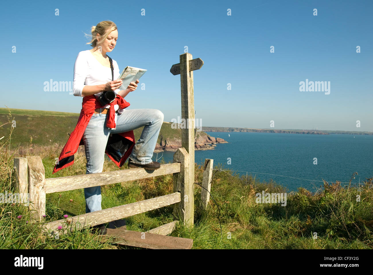 A female walker stops on a stile to read a map on the cliff above At Ann's Head in Wales. Stock Photohttps://www.alamy.com/image-license-details/?v=1https://www.alamy.com/stock-photo-a-female-walker-stops-on-a-stile-to-read-a-map-on-the-cliff-above-43727672.html
RMCF3Y2G–A female walker stops on a stile to read a map on the cliff above At Ann's Head in Wales.
 Magnified Map Area of 'Cwm Porth Cave' in Wales, UK Stock Photohttps://www.alamy.com/image-license-details/?v=1https://www.alamy.com/magnified-map-area-of-cwm-porth-cave-in-wales-uk-image7587384.html
RMAD20K9–Magnified Map Area of 'Cwm Porth Cave' in Wales, UK
RF2YWCX59–wales map icon illustration design
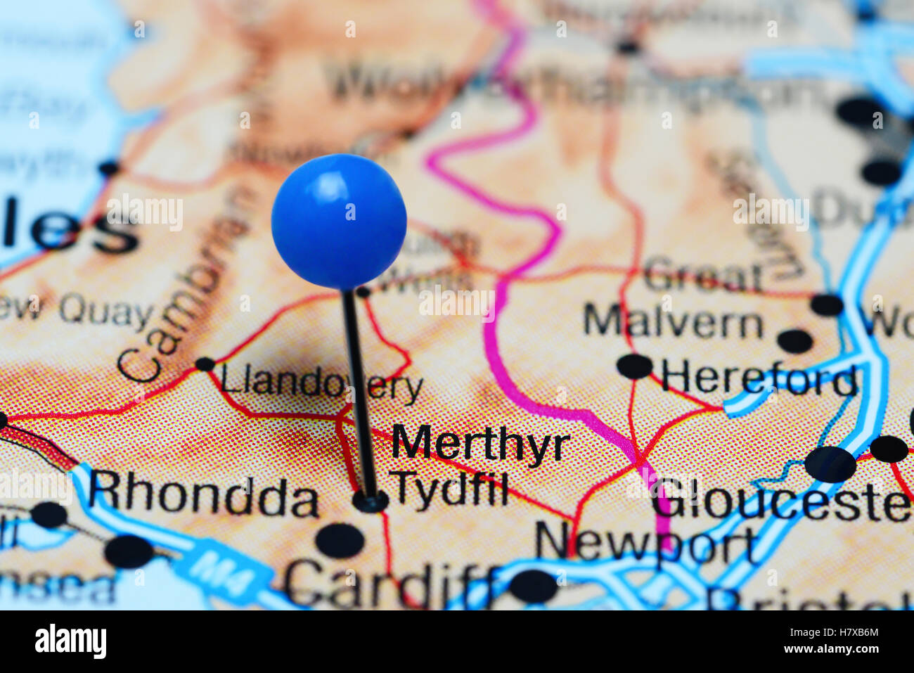 Merthyr Tydfil pinned on a map of Wales Stock Photohttps://www.alamy.com/image-license-details/?v=1https://www.alamy.com/stock-photo-merthyr-tydfil-pinned-on-a-map-of-wales-125354732.html
RFH7XB6M–Merthyr Tydfil pinned on a map of Wales
 Tudor gentleman (detail), from a map of England and wales by John Speed;C1612 Stock Photohttps://www.alamy.com/image-license-details/?v=1https://www.alamy.com/stock-photo-tudor-gentleman-detail-from-a-map-of-england-and-wales-by-john-speedc1612-90851153.html
RMF7PHG1–Tudor gentleman (detail), from a map of England and wales by John Speed;C1612
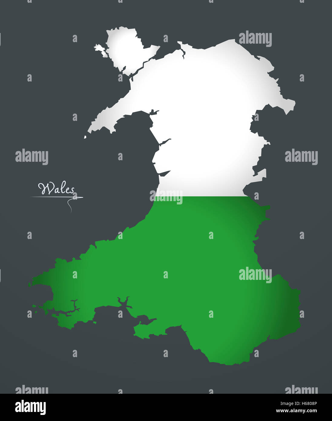 Wales map special artwork style with flag illustration Stock Photohttps://www.alamy.com/image-license-details/?v=1https://www.alamy.com/stock-photo-wales-map-special-artwork-style-with-flag-illustration-124336374.html
RFH6808P–Wales map special artwork style with flag illustration
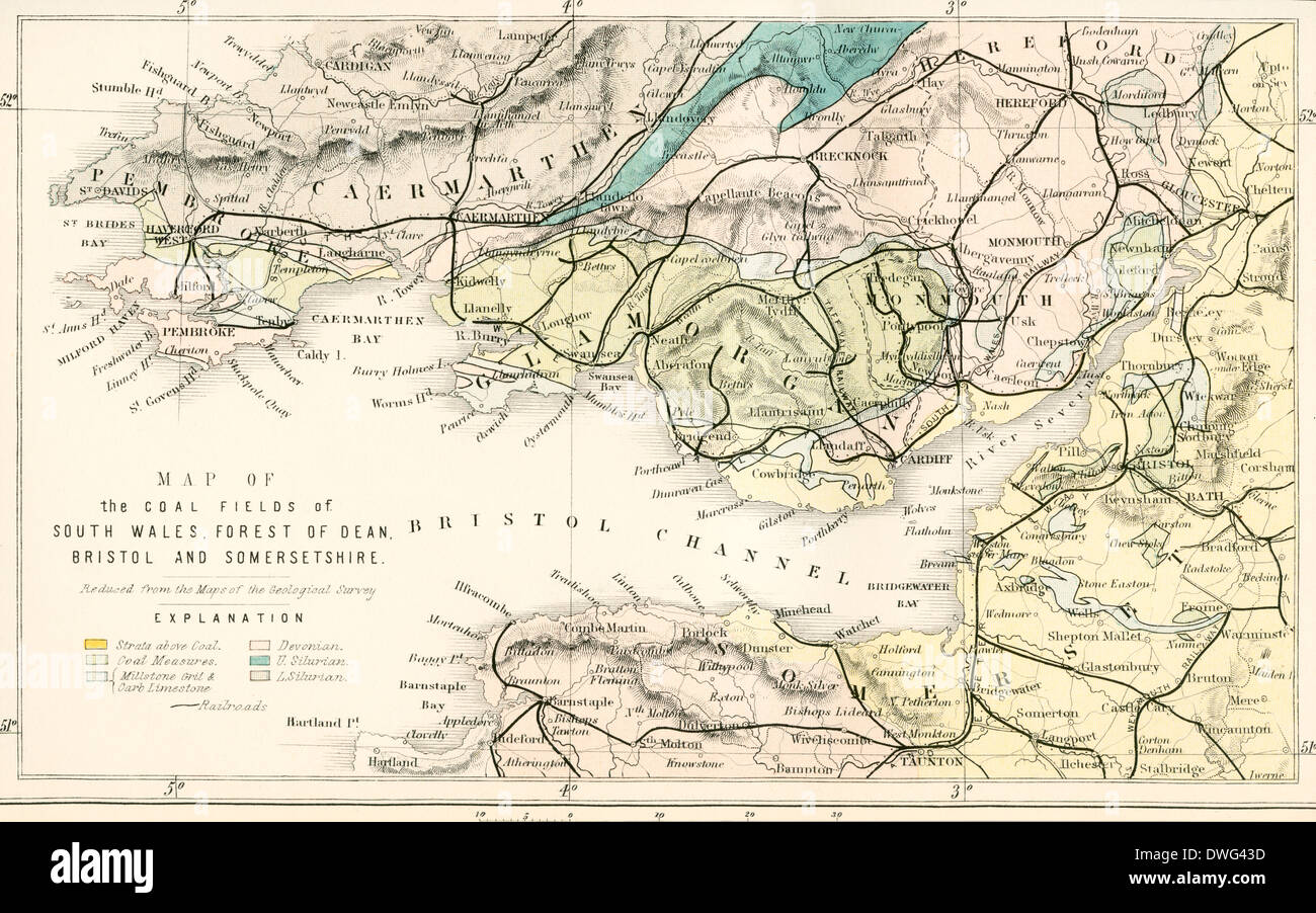 Map showing the coalfields of South Wales, Forest of Dean, Bristol and Somersetshire in the 19th century. Stock Photohttps://www.alamy.com/image-license-details/?v=1https://www.alamy.com/map-showing-the-coalfields-of-south-wales-forest-of-dean-bristol-and-image67351969.html
RMDWG43D–Map showing the coalfields of South Wales, Forest of Dean, Bristol and Somersetshire in the 19th century.
 Map of England and Wales Stock Photohttps://www.alamy.com/image-license-details/?v=1https://www.alamy.com/stock-photo-map-of-england-and-wales-35955835.html
RMC2DX0Y–Map of England and Wales
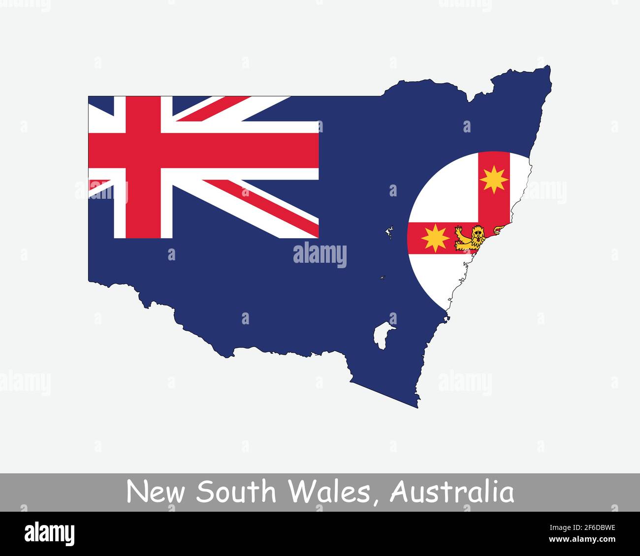 New South Wales Map Flag. Map of NSW with state flag isolated on white background. Australian State on the east coast of Australia. Vector illustration Stock Vectorhttps://www.alamy.com/image-license-details/?v=1https://www.alamy.com/new-south-wales-map-flag-map-of-nsw-with-state-flag-isolated-on-white-background-australian-state-on-the-east-coast-of-australia-vector-illustration-image417031482.html
RF2F6DBWE–New South Wales Map Flag. Map of NSW with state flag isolated on white background. Australian State on the east coast of Australia. Vector illustration
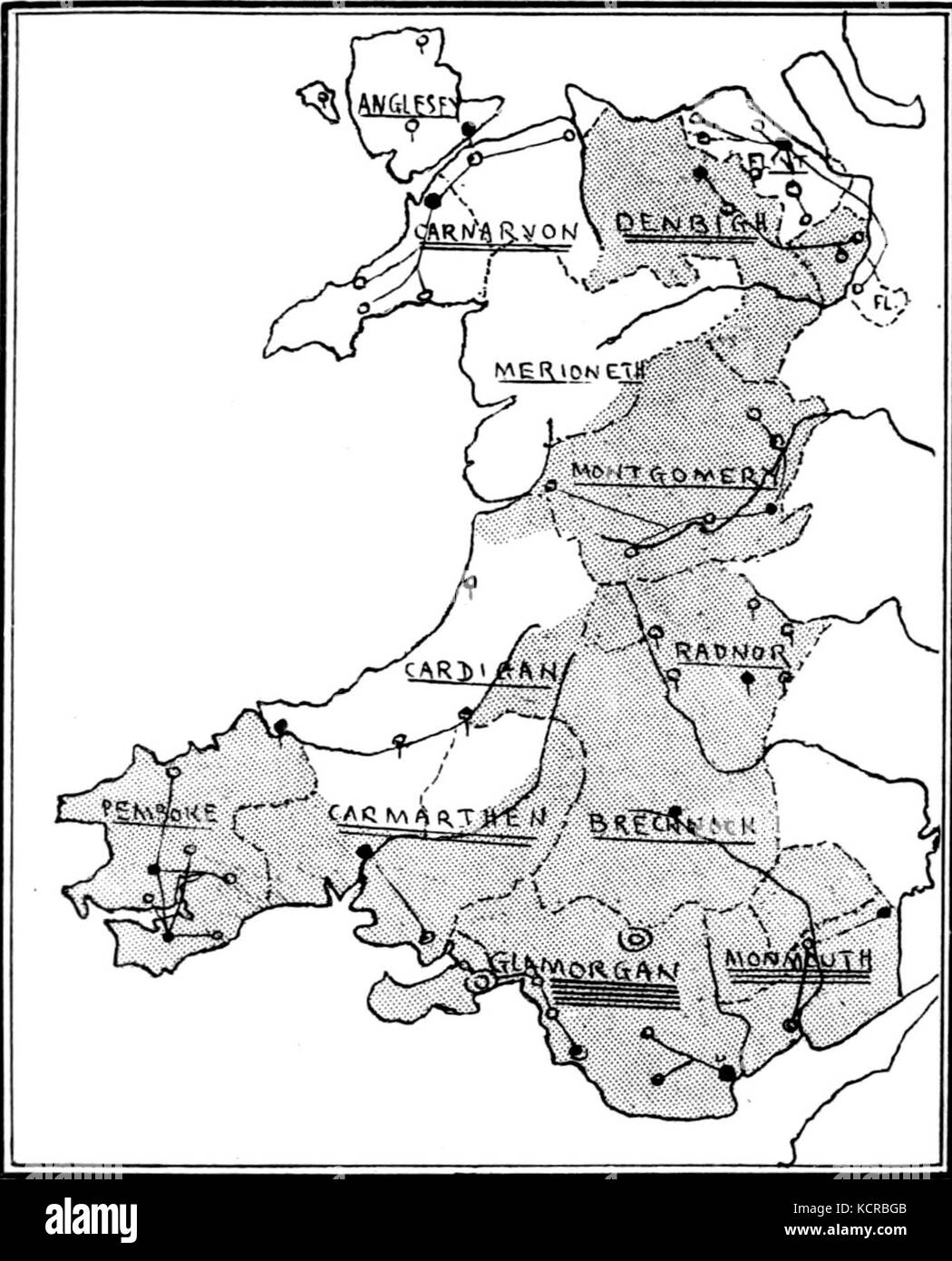 A Short History of Wales Map The Shires Stock Photohttps://www.alamy.com/image-license-details/?v=1https://www.alamy.com/stock-image-a-short-history-of-wales-map-the-shires-162783163.html
RMKCRBGB–A Short History of Wales Map The Shires
 A Topographical Dictionary of the United Kingdom, Wales map, 19th century engraving, UK Stock Photohttps://www.alamy.com/image-license-details/?v=1https://www.alamy.com/stock-photo-a-topographical-dictionary-of-the-united-kingdom-wales-map-19th-century-77458553.html
RMEE0F4W–A Topographical Dictionary of the United Kingdom, Wales map, 19th century engraving, UK
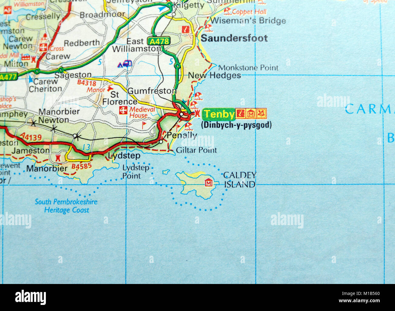 Road Map of Tenby, Wales. Stock Photohttps://www.alamy.com/image-license-details/?v=1https://www.alamy.com/stock-photo-road-map-of-tenby-wales-172963896.html
RMM1B560–Road Map of Tenby, Wales.
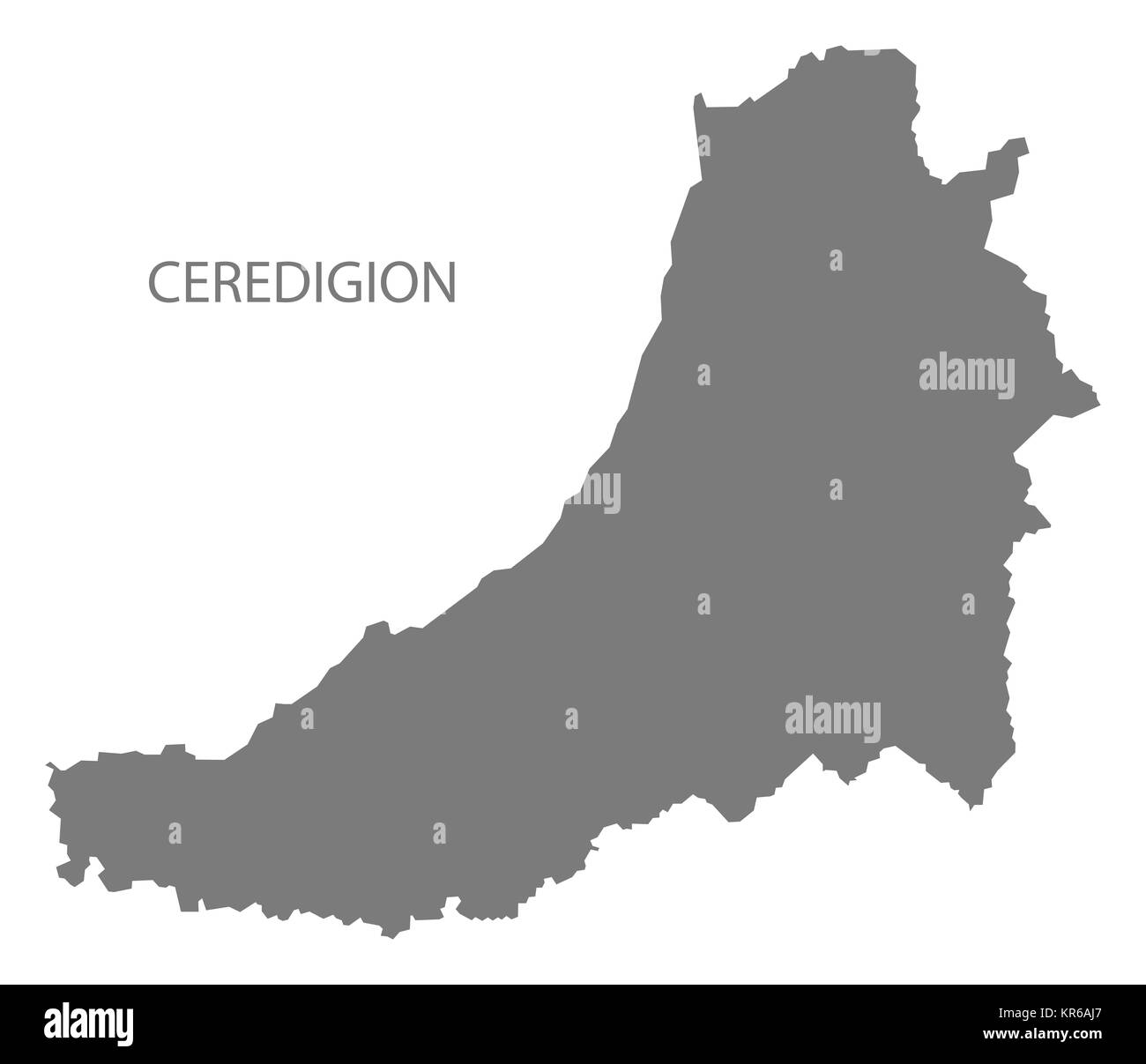 Ceredigion Wales Map grey Stock Photohttps://www.alamy.com/image-license-details/?v=1https://www.alamy.com/stock-image-ceredigion-wales-map-grey-169170463.html
RFKR6AJ7–Ceredigion Wales Map grey
 Map - England and Wales, 1857 Stock Photohttps://www.alamy.com/image-license-details/?v=1https://www.alamy.com/stock-photo-map-england-and-wales-1857-105354596.html
RMG3B8T4–Map - England and Wales, 1857
 Australia New South Wales map button in responsive flat web design isolated with clipping path. Stock Photohttps://www.alamy.com/image-license-details/?v=1https://www.alamy.com/australia-new-south-wales-map-button-in-responsive-flat-web-design-image66331658.html
RMDRWJKP–Australia New South Wales map button in responsive flat web design isolated with clipping path.
 united kingdom administrative map Stock Vectorhttps://www.alamy.com/image-license-details/?v=1https://www.alamy.com/stock-photo-united-kingdom-administrative-map-96927035.html
RFFHKBBR–united kingdom administrative map
 WALES: A Map of North & South Wales, 1808 Stock Photohttps://www.alamy.com/image-license-details/?v=1https://www.alamy.com/stock-photo-wales-a-map-of-north-south-wales-1808-106696709.html
RFG5GCMN–WALES: A Map of North & South Wales, 1808
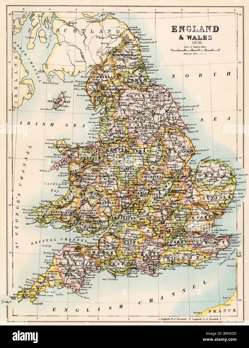 Map of England and Wales, 1870s. Color lithograph Stock Photohttps://www.alamy.com/image-license-details/?v=1https://www.alamy.com/stock-photo-map-of-england-and-wales-1870s-color-lithograph-26858649.html
RMBFKEDD–Map of England and Wales, 1870s. Color lithograph
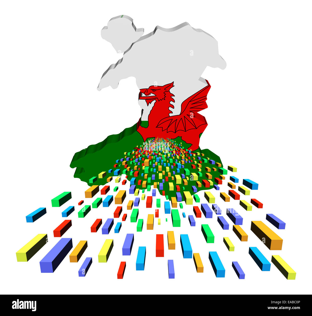 Wales map flag with containers illustration Stock Photohttps://www.alamy.com/image-license-details/?v=1https://www.alamy.com/stock-photo-wales-map-flag-with-containers-illustration-75238934.html
RFEABC0P–Wales map flag with containers illustration
 A female walker stops on a stile to read a map on the cliff above At Ann's Head in Wales. Stock Photohttps://www.alamy.com/image-license-details/?v=1https://www.alamy.com/stock-photo-a-female-walker-stops-on-a-stile-to-read-a-map-on-the-cliff-above-43727555.html
RMCF3XXB–A female walker stops on a stile to read a map on the cliff above At Ann's Head in Wales.
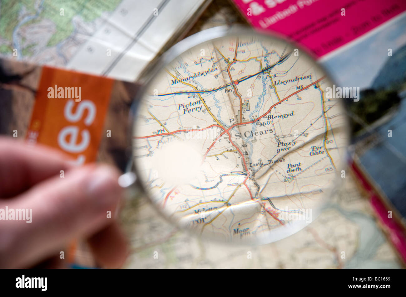 Map of St. Clears in west wales shown through a Magnifying glass. Stock Photohttps://www.alamy.com/image-license-details/?v=1https://www.alamy.com/stock-photo-map-of-st-clears-in-west-wales-shown-through-a-magnifying-glass-24613073.html
RMBC1669–Map of St. Clears in west wales shown through a Magnifying glass.
RF2YWCXE2–wales map icon illustration design
 Builth Wells pinned on a map of Wales Stock Photohttps://www.alamy.com/image-license-details/?v=1https://www.alamy.com/stock-photo-builth-wells-pinned-on-a-map-of-wales-125354786.html
RFH7XB8J–Builth Wells pinned on a map of Wales
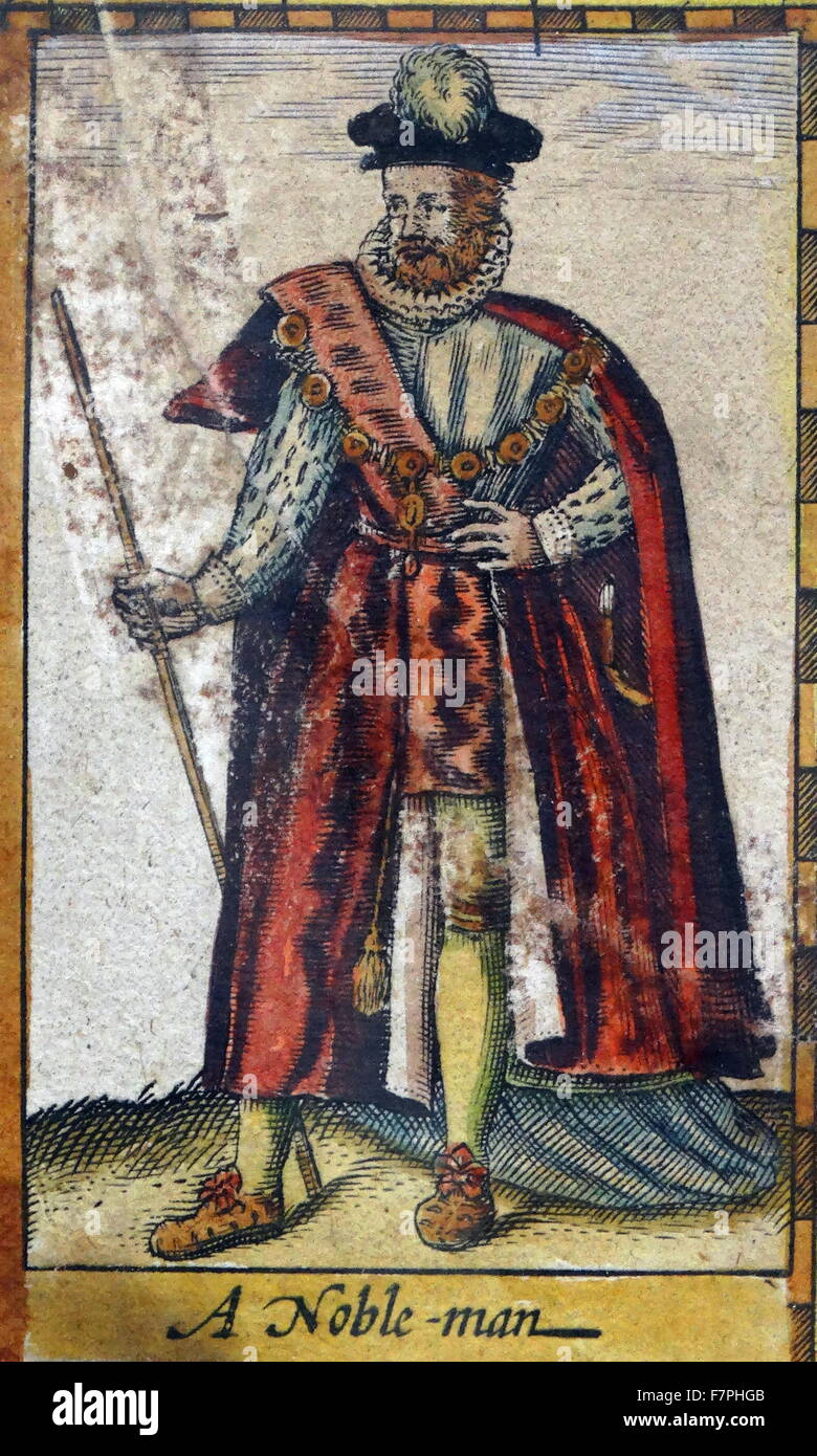 Tudor nobleman (detail), from a map of England and wales by John Speed;C1612 Stock Photohttps://www.alamy.com/image-license-details/?v=1https://www.alamy.com/stock-photo-tudor-nobleman-detail-from-a-map-of-england-and-wales-by-john-speedc1612-90851163.html
RMF7PHGB–Tudor nobleman (detail), from a map of England and wales by John Speed;C1612
 Wales map special vintage artwork style with flag illustration Stock Photohttps://www.alamy.com/image-license-details/?v=1https://www.alamy.com/stock-photo-wales-map-special-vintage-artwork-style-with-flag-illustration-124336382.html
RFH68092–Wales map special vintage artwork style with flag illustration
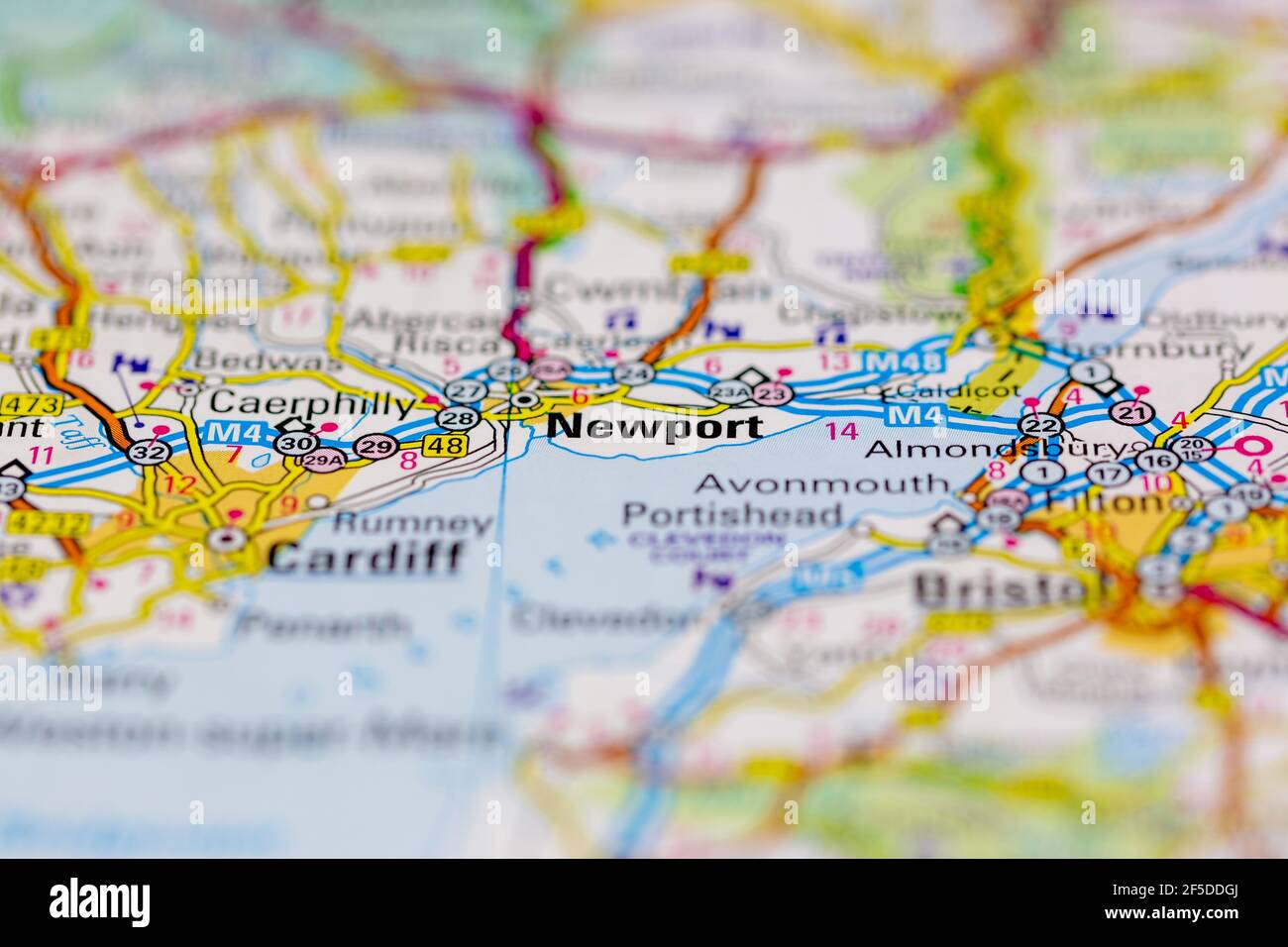 Newport in Wales and surrounding areas Shown on a Geography map or road map Stock Photohttps://www.alamy.com/image-license-details/?v=1https://www.alamy.com/newport-in-wales-and-surrounding-areas-shown-on-a-geography-map-or-road-map-image416418146.html
RM2F5DDGJ–Newport in Wales and surrounding areas Shown on a Geography map or road map
 A Unite the Union Van with a map of Wales on the side. High Street, Swansea, Wales, United Kingdom. 11th December 2024. Stock Photohttps://www.alamy.com/image-license-details/?v=1https://www.alamy.com/a-unite-the-union-van-with-a-map-of-wales-on-the-side-high-street-swansea-wales-united-kingdom-11th-december-2024-image637090111.html
RM2S0DXX7–A Unite the Union Van with a map of Wales on the side. High Street, Swansea, Wales, United Kingdom. 11th December 2024.
 Wales map with flag inside Stock Vectorhttps://www.alamy.com/image-license-details/?v=1https://www.alamy.com/stock-photo-wales-map-with-flag-inside-116259318.html
RFGN41XE–Wales map with flag inside
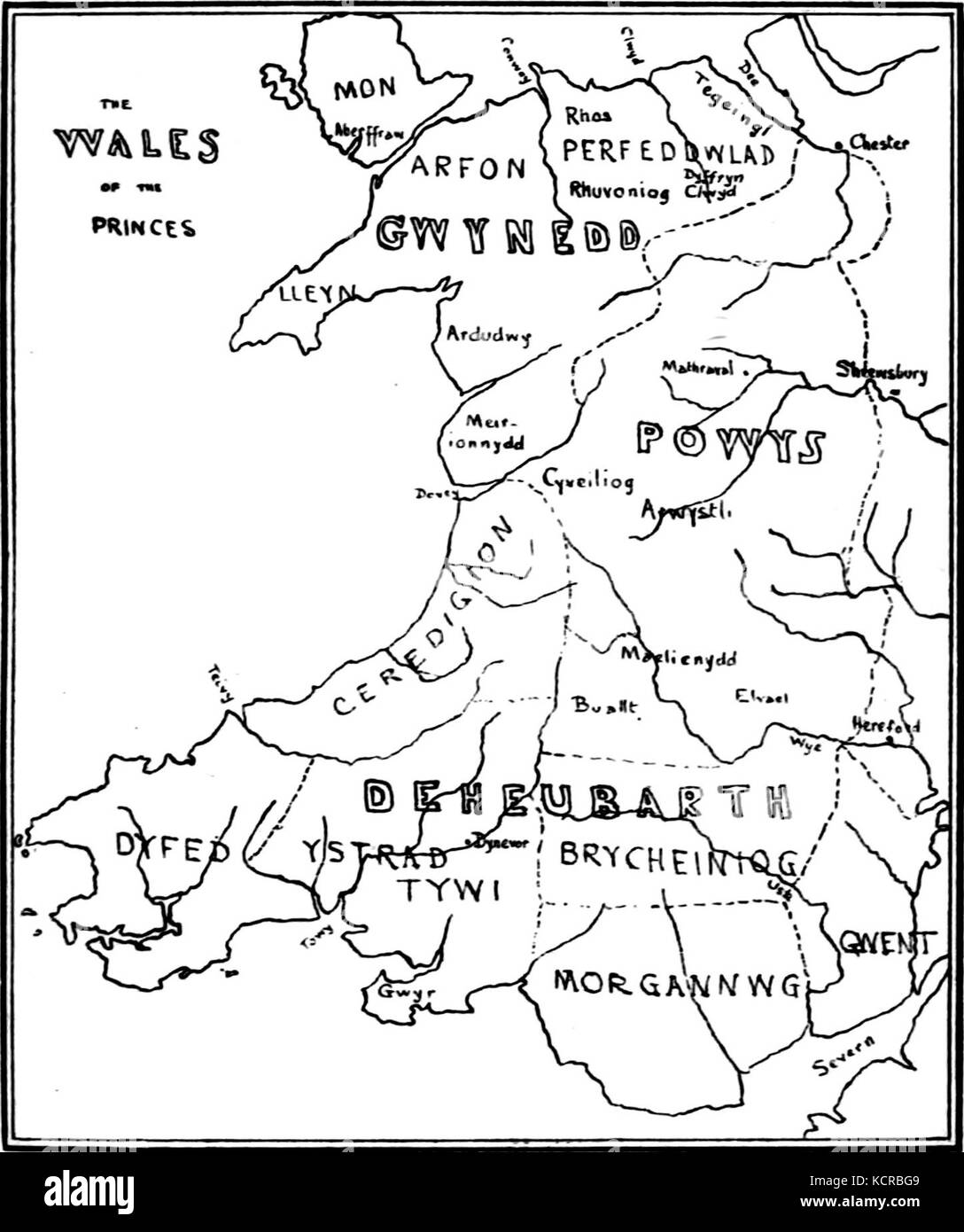 A Short History of Wales Map The Wales of the Princes Stock Photohttps://www.alamy.com/image-license-details/?v=1https://www.alamy.com/stock-image-a-short-history-of-wales-map-the-wales-of-the-princes-162783161.html
RMKCRBG9–A Short History of Wales Map The Wales of the Princes
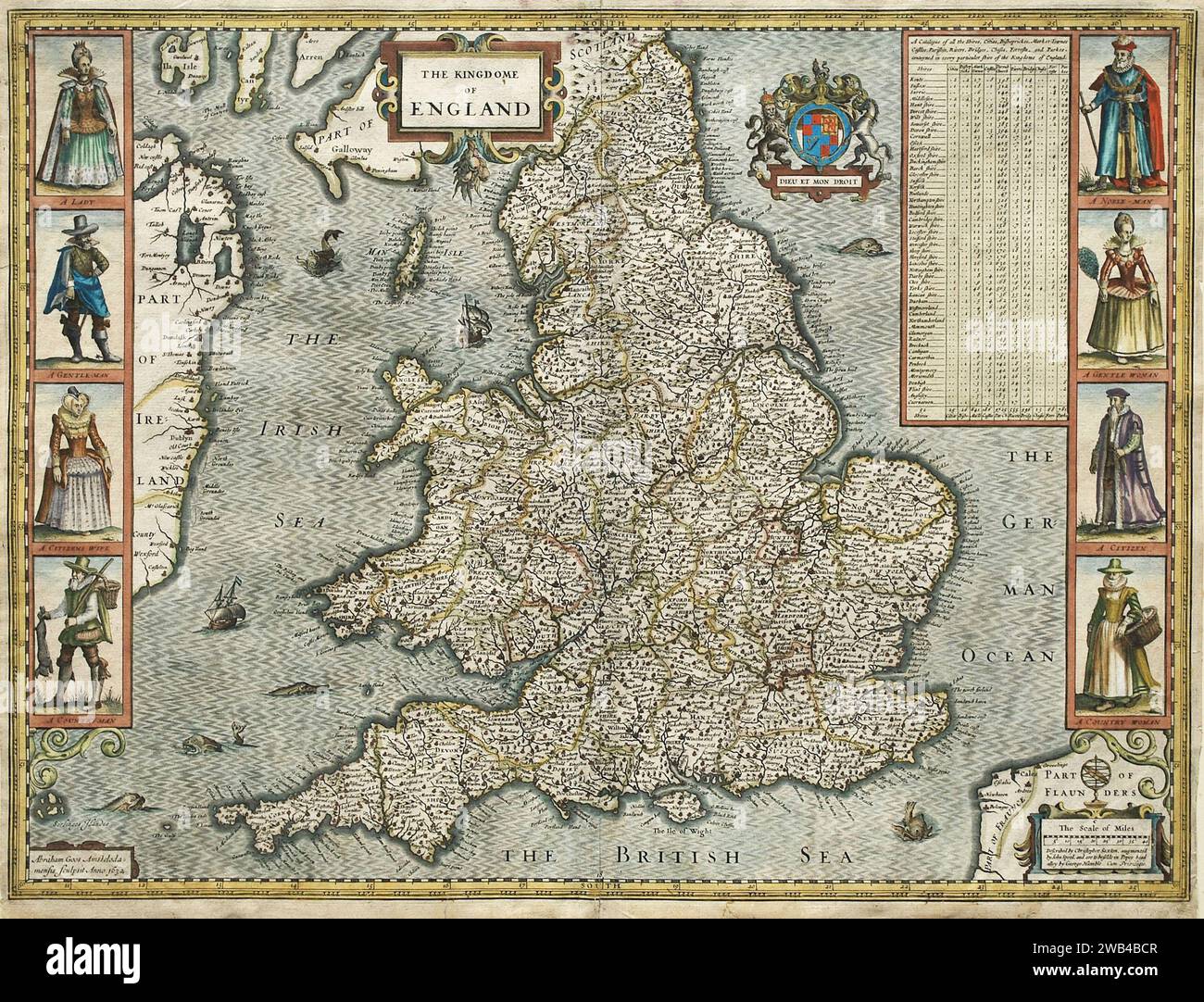 Map of England and Wales, by John Speed. Circa 1632 Stock Photohttps://www.alamy.com/image-license-details/?v=1https://www.alamy.com/map-of-england-and-wales-by-john-speed-circa-1632-image592010519.html
RM2WB4BCR–Map of England and Wales, by John Speed. Circa 1632
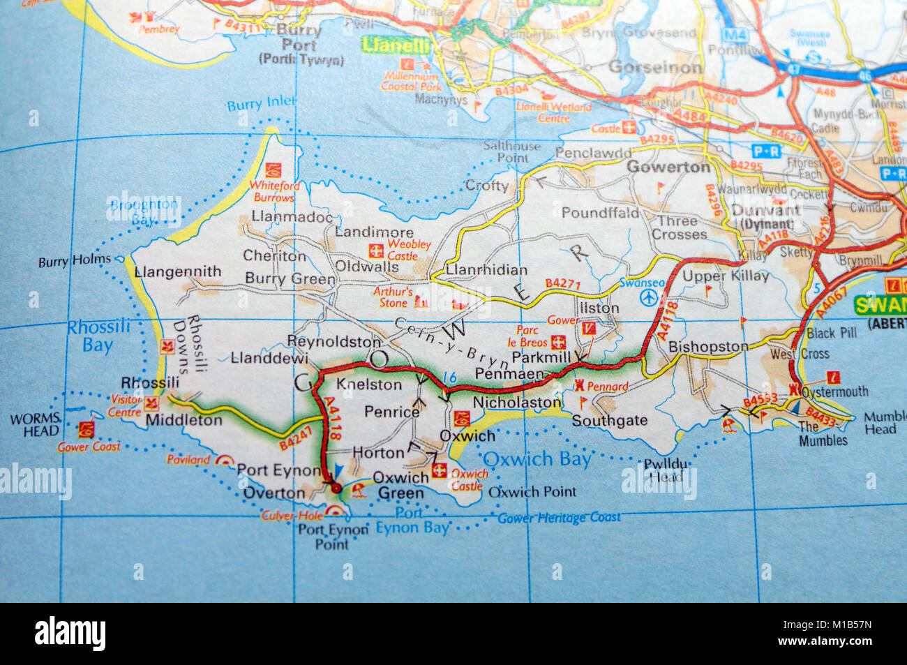 Road Map of Gower Peninsula, Wales. Stock Photohttps://www.alamy.com/image-license-details/?v=1https://www.alamy.com/stock-photo-road-map-of-gower-peninsula-wales-172963945.html
RMM1B57N–Road Map of Gower Peninsula, Wales.
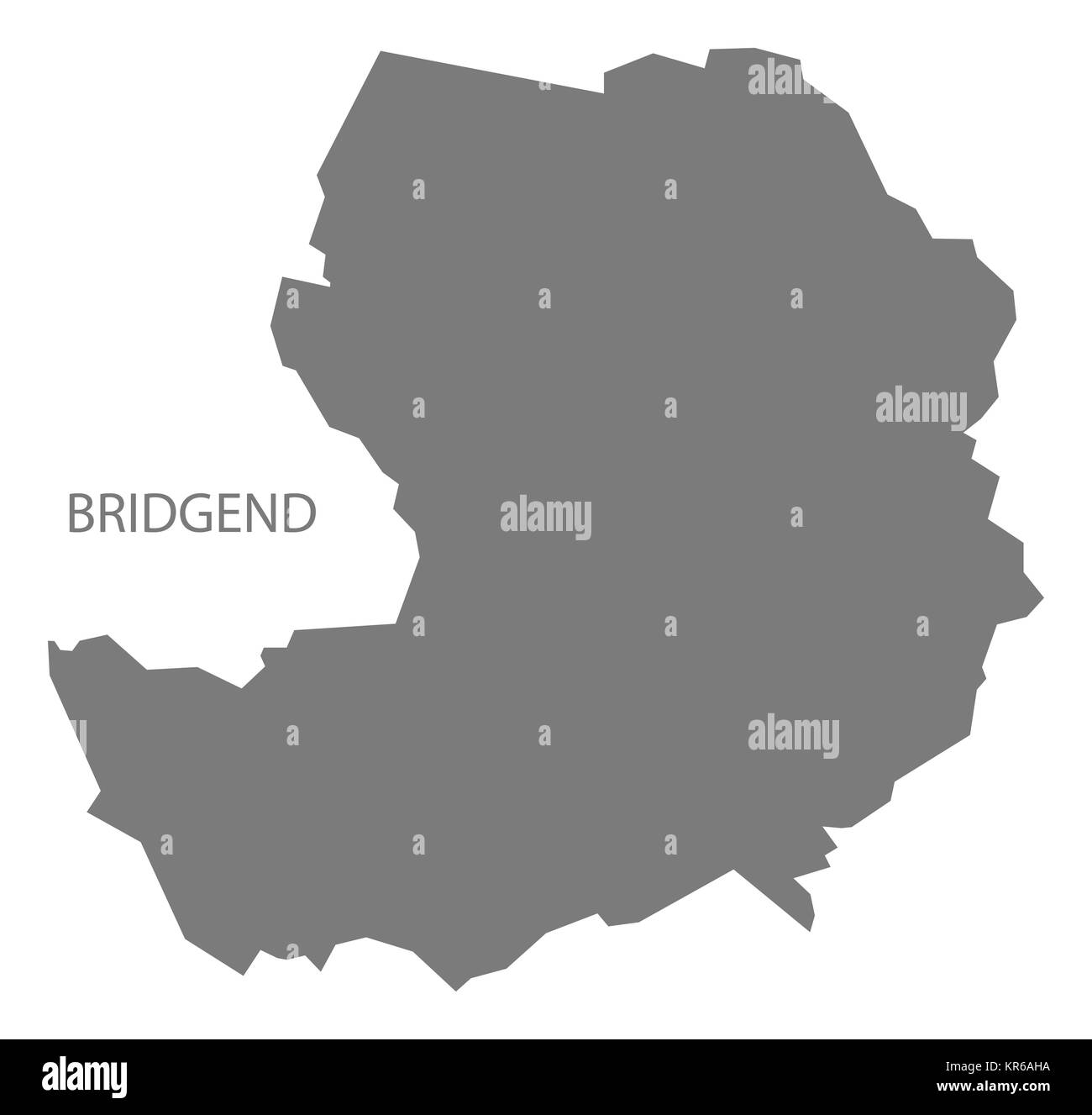 Bridgend Wales Map grey Stock Photohttps://www.alamy.com/image-license-details/?v=1https://www.alamy.com/stock-image-bridgend-wales-map-grey-169170438.html
RFKR6AHA–Bridgend Wales Map grey
 MAP/BRITAIN/WALES 18C Stock Photohttps://www.alamy.com/image-license-details/?v=1https://www.alamy.com/mapbritainwales-18c-image222905026.html
RMPXJ5HP–MAP/BRITAIN/WALES 18C
 Map of the Provinces to the west of England and those of the Principality of Wales, from Marmocchi Atlas, Florence, Italy 1839 Stock Photohttps://www.alamy.com/image-license-details/?v=1https://www.alamy.com/map-of-the-provinces-to-the-west-of-england-and-those-of-the-principality-of-wales-from-marmocchi-atlas-florence-italy-1839-image503668432.html
RF2M7C268–Map of the Provinces to the west of England and those of the Principality of Wales, from Marmocchi Atlas, Florence, Italy 1839
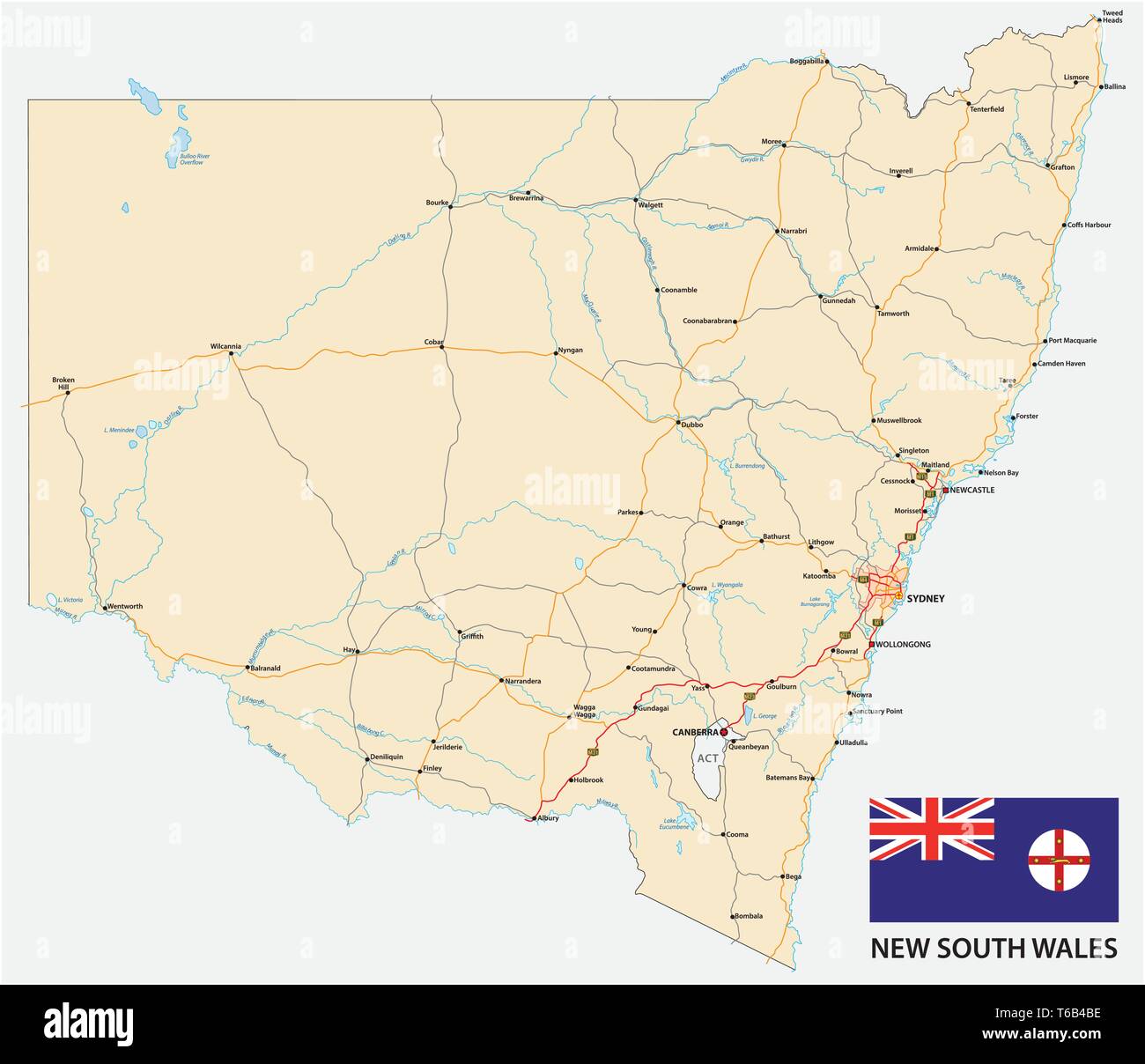 Road map of the Australian state New South Wales map with flag Stock Vectorhttps://www.alamy.com/image-license-details/?v=1https://www.alamy.com/road-map-of-the-australian-state-new-south-wales-map-with-flag-image244878018.html
RFT6B4BE–Road map of the Australian state New South Wales map with flag
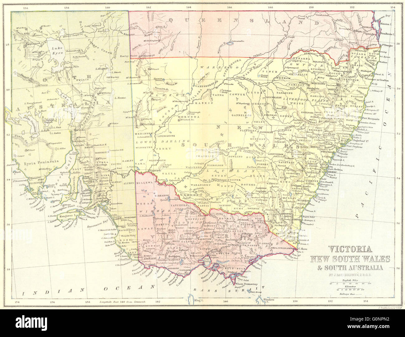 AUSTRALIA: Victoria NSW & south, 1870 antique map Stock Photohttps://www.alamy.com/image-license-details/?v=1https://www.alamy.com/stock-photo-australia-victoria-nsw-south-1870-antique-map-103741038.html
RFG0NPN2–AUSTRALIA: Victoria NSW & south, 1870 antique map
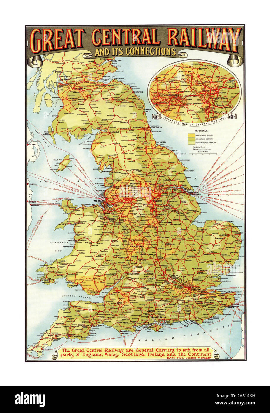 Vintage 1900's Historic Great Central Railway Map Poster and connections All parts of England Wales Scotland Ireland and the Continent Poster GCR GREAT CENTRAL RAILWAY AND ITS CONNECTIONS. Sam Fay General Manager Sir Sam Fay born in Hamble-le-Rice, Hampshire, England, was a career railwayman who joined the London and South Western Railway as a clerk in 1872 and rose to become the last General Manager of the Great Central Railway Printed by John Bartholomew & Co Edinburgh Stock Photohttps://www.alamy.com/image-license-details/?v=1https://www.alamy.com/vintage-1900s-historic-great-central-railway-map-poster-and-connections-all-parts-of-england-wales-scotland-ireland-and-the-continent-poster-gcr-great-central-railway-and-its-connections-sam-fay-general-manager-sir-sam-fay-born-in-hamble-le-rice-hampshire-england-was-a-career-railwayman-who-joined-the-london-and-south-western-railway-as-a-clerk-in-1872-and-rose-to-become-the-last-general-manager-of-the-great-central-railway-printed-by-john-bartholomew-co-edinburgh-image331939877.html
RM2A814KH–Vintage 1900's Historic Great Central Railway Map Poster and connections All parts of England Wales Scotland Ireland and the Continent Poster GCR GREAT CENTRAL RAILWAY AND ITS CONNECTIONS. Sam Fay General Manager Sir Sam Fay born in Hamble-le-Rice, Hampshire, England, was a career railwayman who joined the London and South Western Railway as a clerk in 1872 and rose to become the last General Manager of the Great Central Railway Printed by John Bartholomew & Co Edinburgh
 Wales map flag on sunburst illustration Stock Photohttps://www.alamy.com/image-license-details/?v=1https://www.alamy.com/stock-photo-wales-map-flag-on-sunburst-illustration-71096027.html
RFE3JKKR–Wales map flag on sunburst illustration
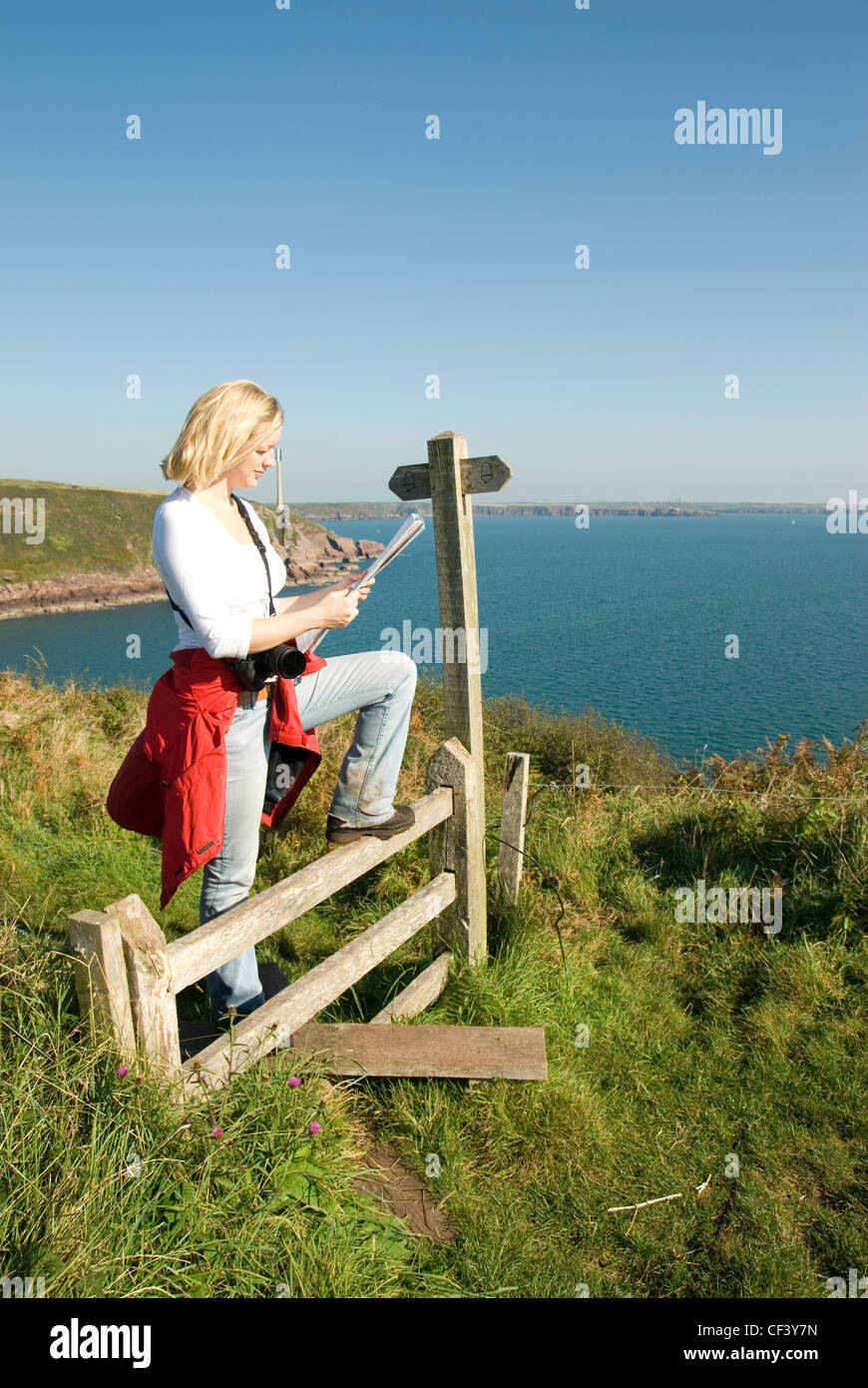 A female walker stops on a stile to read a map on the cliff above At Ann's Head in Wales. Stock Photohttps://www.alamy.com/image-license-details/?v=1https://www.alamy.com/stock-photo-a-female-walker-stops-on-a-stile-to-read-a-map-on-the-cliff-above-43727817.html
RMCF3Y7N–A female walker stops on a stile to read a map on the cliff above At Ann's Head in Wales.
![Map of roads in England and Wales . Map information: Title: [Map of roads in England and Wales]. 5.92. Place of publication: [London] Publisher: [unidentified producer]., Date of publication: [1780] Item type: 1 map Medium: pen and ink with wash Dimensions: 45.6 x 134.1 cm Former owner: George III, King of Great Britain, 1738-1820 Stock Photo Map of roads in England and Wales . Map information: Title: [Map of roads in England and Wales]. 5.92. Place of publication: [London] Publisher: [unidentified producer]., Date of publication: [1780] Item type: 1 map Medium: pen and ink with wash Dimensions: 45.6 x 134.1 cm Former owner: George III, King of Great Britain, 1738-1820 Stock Photo](https://c8.alamy.com/comp/2E9F4DG/map-of-roads-in-england-and-wales-map-information-title-map-of-roads-in-england-and-wales-592-place-of-publication-london-publisher-unidentified-producer-date-of-publication-1780-item-type-1-map-medium-pen-and-ink-with-wash-dimensions-456-x-1341-cm-former-owner-george-iii-king-of-great-britain-1738-1820-2E9F4DG.jpg) Map of roads in England and Wales . Map information: Title: [Map of roads in England and Wales]. 5.92. Place of publication: [London] Publisher: [unidentified producer]., Date of publication: [1780] Item type: 1 map Medium: pen and ink with wash Dimensions: 45.6 x 134.1 cm Former owner: George III, King of Great Britain, 1738-1820 Stock Photohttps://www.alamy.com/image-license-details/?v=1https://www.alamy.com/map-of-roads-in-england-and-wales-map-information-title-map-of-roads-in-england-and-wales-592-place-of-publication-london-publisher-unidentified-producer-date-of-publication-1780-item-type-1-map-medium-pen-and-ink-with-wash-dimensions-456-x-1341-cm-former-owner-george-iii-king-of-great-britain-1738-1820-image401703164.html
Map of roads in England and Wales . Map information: Title: [Map of roads in England and Wales]. 5.92. Place of publication: [London] Publisher: [unidentified producer]., Date of publication: [1780] Item type: 1 map Medium: pen and ink with wash Dimensions: 45.6 x 134.1 cm Former owner: George III, King of Great Britain, 1738-1820 Stock Photohttps://www.alamy.com/image-license-details/?v=1https://www.alamy.com/map-of-roads-in-england-and-wales-map-information-title-map-of-roads-in-england-and-wales-592-place-of-publication-london-publisher-unidentified-producer-date-of-publication-1780-item-type-1-map-medium-pen-and-ink-with-wash-dimensions-456-x-1341-cm-former-owner-george-iii-king-of-great-britain-1738-1820-image401703164.htmlRM2E9F4DG–Map of roads in England and Wales . Map information: Title: [Map of roads in England and Wales]. 5.92. Place of publication: [London] Publisher: [unidentified producer]., Date of publication: [1780] Item type: 1 map Medium: pen and ink with wash Dimensions: 45.6 x 134.1 cm Former owner: George III, King of Great Britain, 1738-1820
RF2YWCX9F–wales map icon illustration design
 Milford Haven pinned on a map of Wales Stock Photohttps://www.alamy.com/image-license-details/?v=1https://www.alamy.com/stock-photo-milford-haven-pinned-on-a-map-of-wales-125354764.html
RFH7XB7T–Milford Haven pinned on a map of Wales
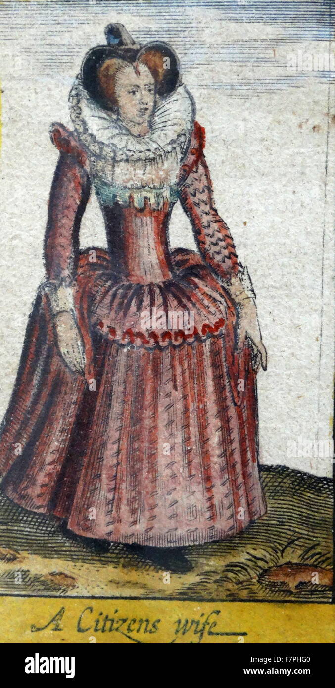 Tudor noblewoman (detail), from a map of England and wales by John Speed;C1612 Stock Photohttps://www.alamy.com/image-license-details/?v=1https://www.alamy.com/stock-photo-tudor-noblewoman-detail-from-a-map-of-england-and-wales-by-john-speedc1612-90851152.html
RMF7PHG0–Tudor noblewoman (detail), from a map of England and wales by John Speed;C1612
