Quick filters:
Walking route Stock Photos and Images
 Signs to Chiltern & South Bucks Way walking route, Church Street, Chalfont St Giles Buckinghamshire, England, United Kingdom Stock Photohttps://www.alamy.com/image-license-details/?v=1https://www.alamy.com/stock-photo-signs-to-chiltern-south-bucks-way-walking-route-church-street-chalfont-90548227.html
RMF78R57–Signs to Chiltern & South Bucks Way walking route, Church Street, Chalfont St Giles Buckinghamshire, England, United Kingdom
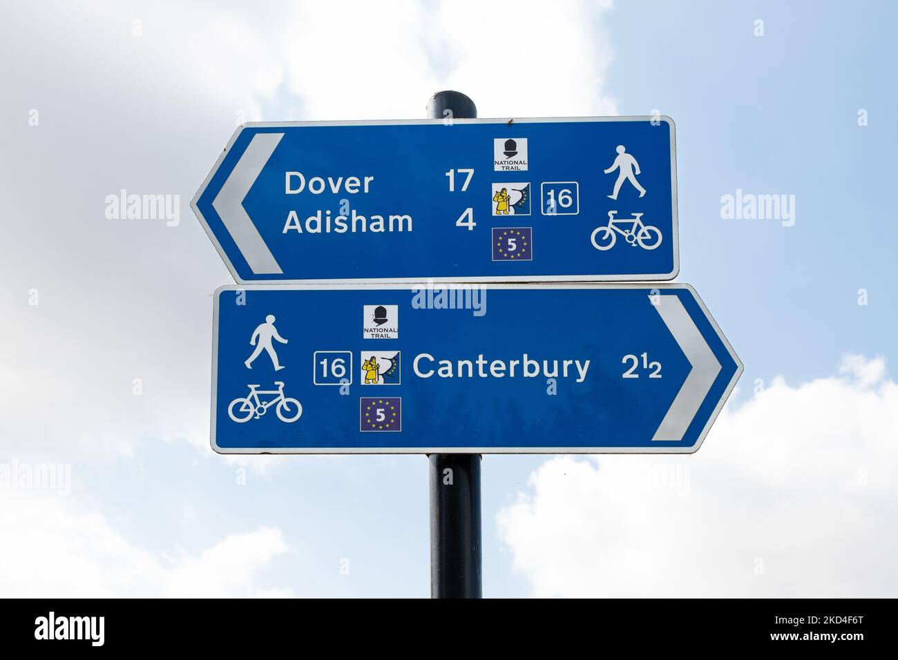 Blue direction sign - Cycle route 16 and footpath sign with E5 walking route, national trail and Via Francigena walk symbols - Kent, England, UK Stock Photohttps://www.alamy.com/image-license-details/?v=1https://www.alamy.com/blue-direction-sign-cycle-route-16-and-footpath-sign-with-e5-walking-route-national-trail-and-via-francigena-walk-symbols-kent-england-uk-image489980592.html
RF2KD4F6T–Blue direction sign - Cycle route 16 and footpath sign with E5 walking route, national trail and Via Francigena walk symbols - Kent, England, UK
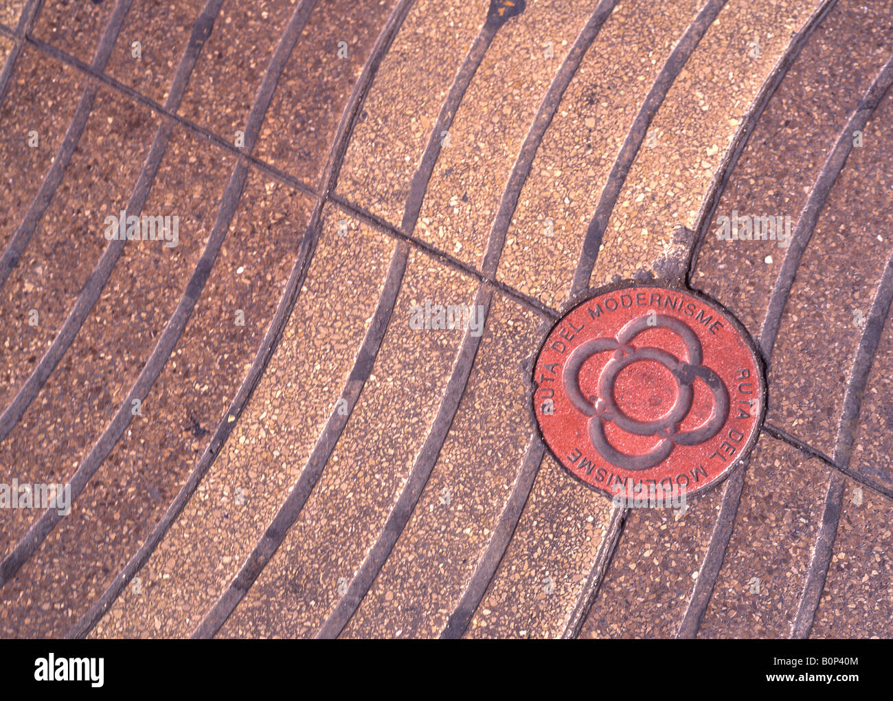 Ruta del Modernisme walking route sign in pavement Las Ramblas Barcelona Catalunya Spain Stock Photohttps://www.alamy.com/image-license-details/?v=1https://www.alamy.com/stock-photo-ruta-del-modernisme-walking-route-sign-in-pavement-las-ramblas-barcelona-17696468.html
RMB0P40M–Ruta del Modernisme walking route sign in pavement Las Ramblas Barcelona Catalunya Spain
 Nicosia, Lefkosia, city walking route marker in the pavement. Stock Photohttps://www.alamy.com/image-license-details/?v=1https://www.alamy.com/stock-photo-nicosia-lefkosia-city-walking-route-marker-in-the-pavement-32713047.html
RMBW65R3–Nicosia, Lefkosia, city walking route marker in the pavement.
 wooden posts, sign, snow shoe walking, route, Stock Photohttps://www.alamy.com/image-license-details/?v=1https://www.alamy.com/stock-photo-wooden-posts-sign-snow-shoe-walking-route-123028140.html
RMH44BJ4–wooden posts, sign, snow shoe walking, route,
 Souvenir stall and goats on mountain walking route to Ad Deir, the Monastery, Petra, Jordan, Middle East Stock Photohttps://www.alamy.com/image-license-details/?v=1https://www.alamy.com/stock-image-souvenir-stall-and-goats-on-mountain-walking-route-to-ad-deir-the-165025615.html
RMKGDFRY–Souvenir stall and goats on mountain walking route to Ad Deir, the Monastery, Petra, Jordan, Middle East
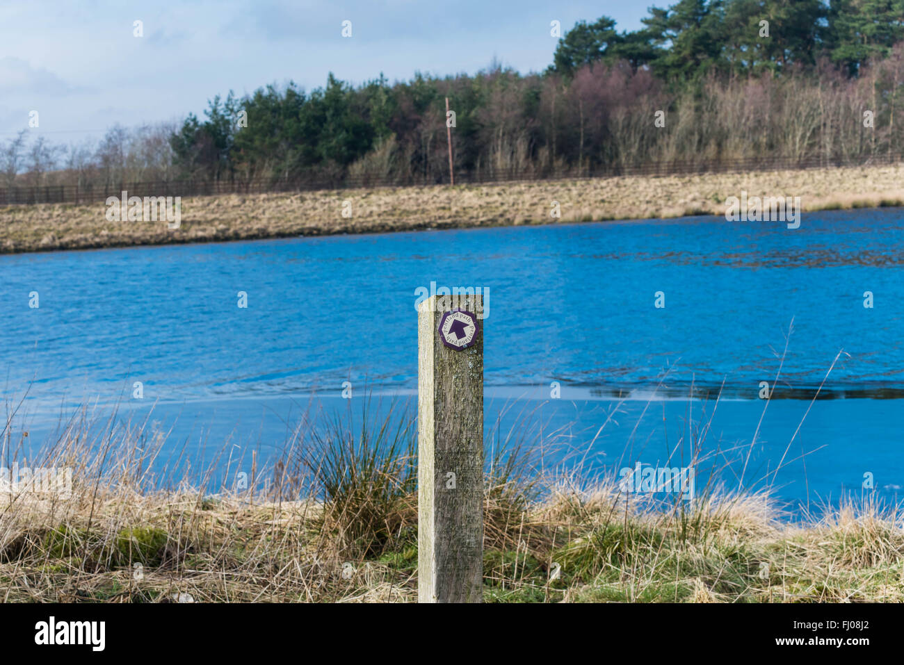 Harperrig reservoir pentlands hill walking route sign Stock Photohttps://www.alamy.com/image-license-details/?v=1https://www.alamy.com/stock-photo-harperrig-reservoir-pentlands-hill-walking-route-sign-97122426.html
RFFJ08J2–Harperrig reservoir pentlands hill walking route sign
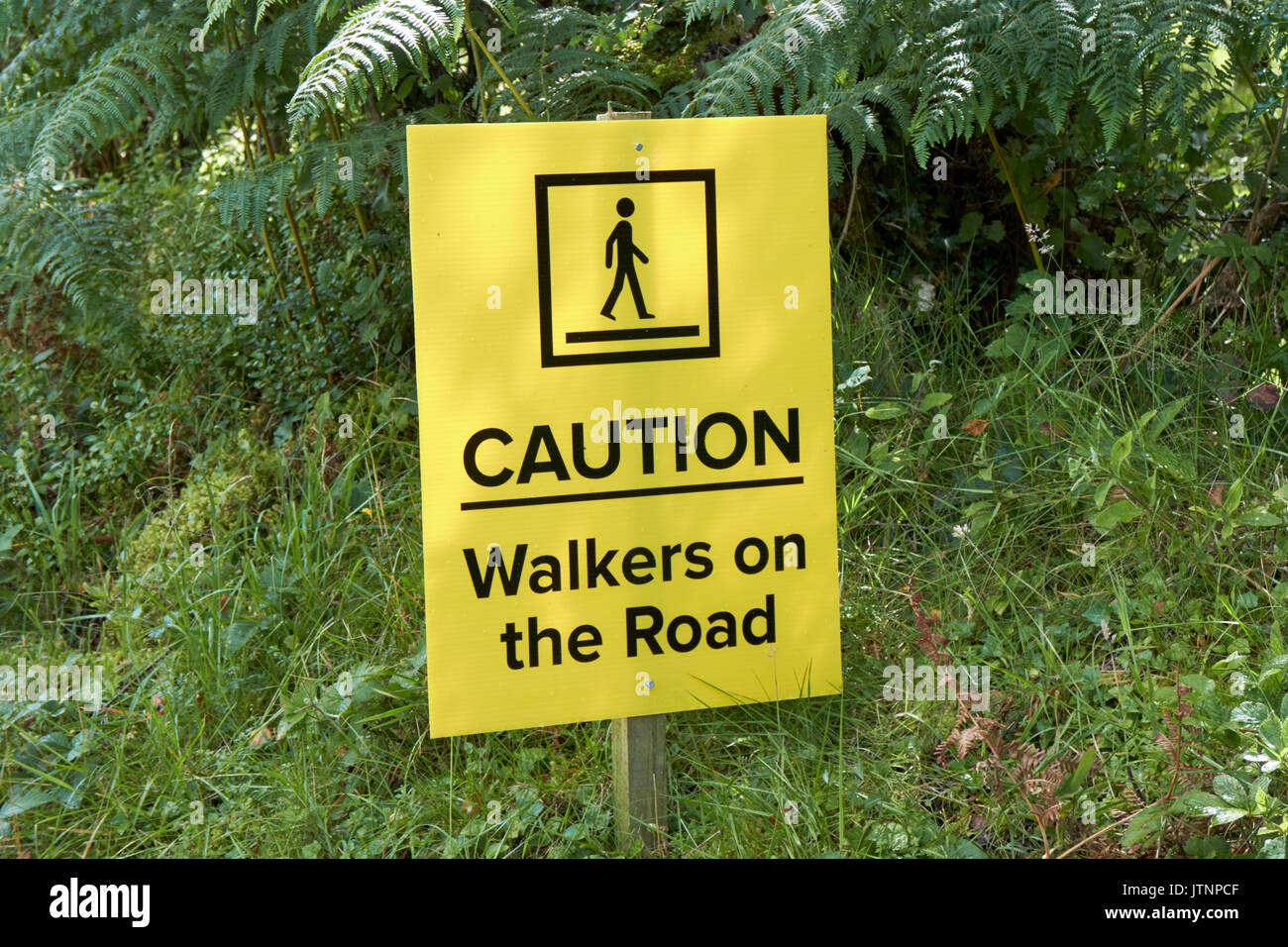 caution walkers on the road sign in a popular tourist walking route in northern ireland Stock Photohttps://www.alamy.com/image-license-details/?v=1https://www.alamy.com/caution-walkers-on-the-road-sign-in-a-popular-tourist-walking-route-image152913279.html
RMJTNPCF–caution walkers on the road sign in a popular tourist walking route in northern ireland
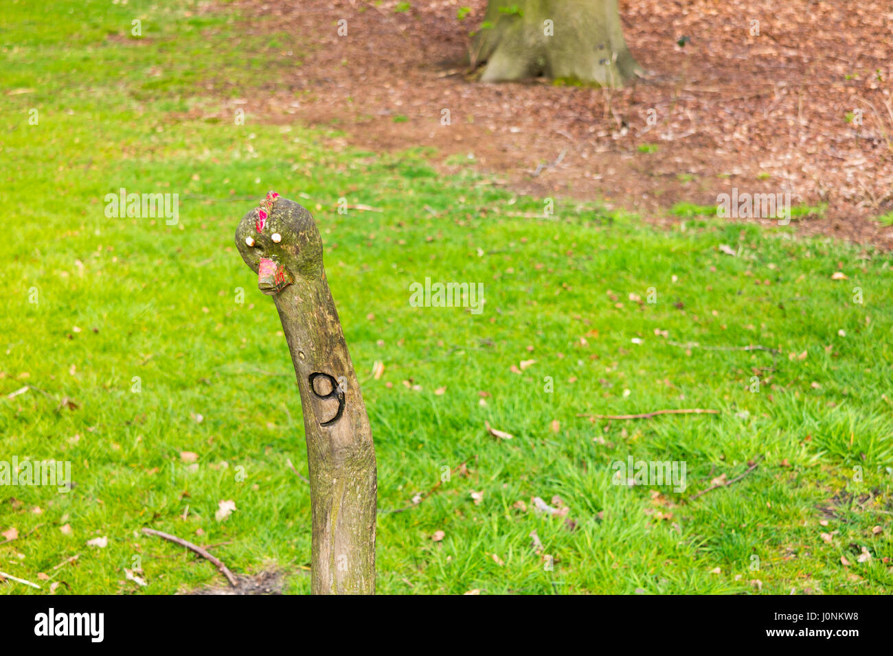 Funny wooden stick with face and number 9 marking walking route in Boekesteyn park, 's Graveland, Netherlands Stock Photohttps://www.alamy.com/image-license-details/?v=1https://www.alamy.com/stock-photo-funny-wooden-stick-with-face-and-number-9-marking-walking-route-in-138159540.html
RFJ0NKW8–Funny wooden stick with face and number 9 marking walking route in Boekesteyn park, 's Graveland, Netherlands
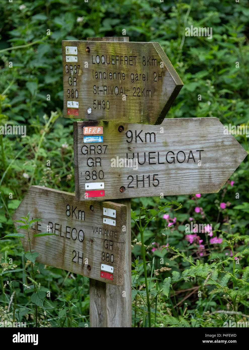 GR walking route sign near Huelgoat, Brittany, France. Stock Photohttps://www.alamy.com/image-license-details/?v=1https://www.alamy.com/gr-walking-route-sign-near-huelgoat-brittany-france-image209324009.html
RMP4FEWD–GR walking route sign near Huelgoat, Brittany, France.
 Stile and Gate on Flood barrier a walking route near Trefriw in the Conwy Valley on a frosty winters day in Snowdonia Stock Photohttps://www.alamy.com/image-license-details/?v=1https://www.alamy.com/stock-photo-stile-and-gate-on-flood-barrier-a-walking-route-near-trefriw-in-the-80261775.html
RFEJG6KY–Stile and Gate on Flood barrier a walking route near Trefriw in the Conwy Valley on a frosty winters day in Snowdonia
 Bike and walking route along the river banks of the Douro at Regua Northern Portugal Stock Photohttps://www.alamy.com/image-license-details/?v=1https://www.alamy.com/bike-and-walking-route-along-the-river-banks-of-the-douro-at-regua-northern-portugal-image360153924.html
RM2BWXC04–Bike and walking route along the river banks of the Douro at Regua Northern Portugal
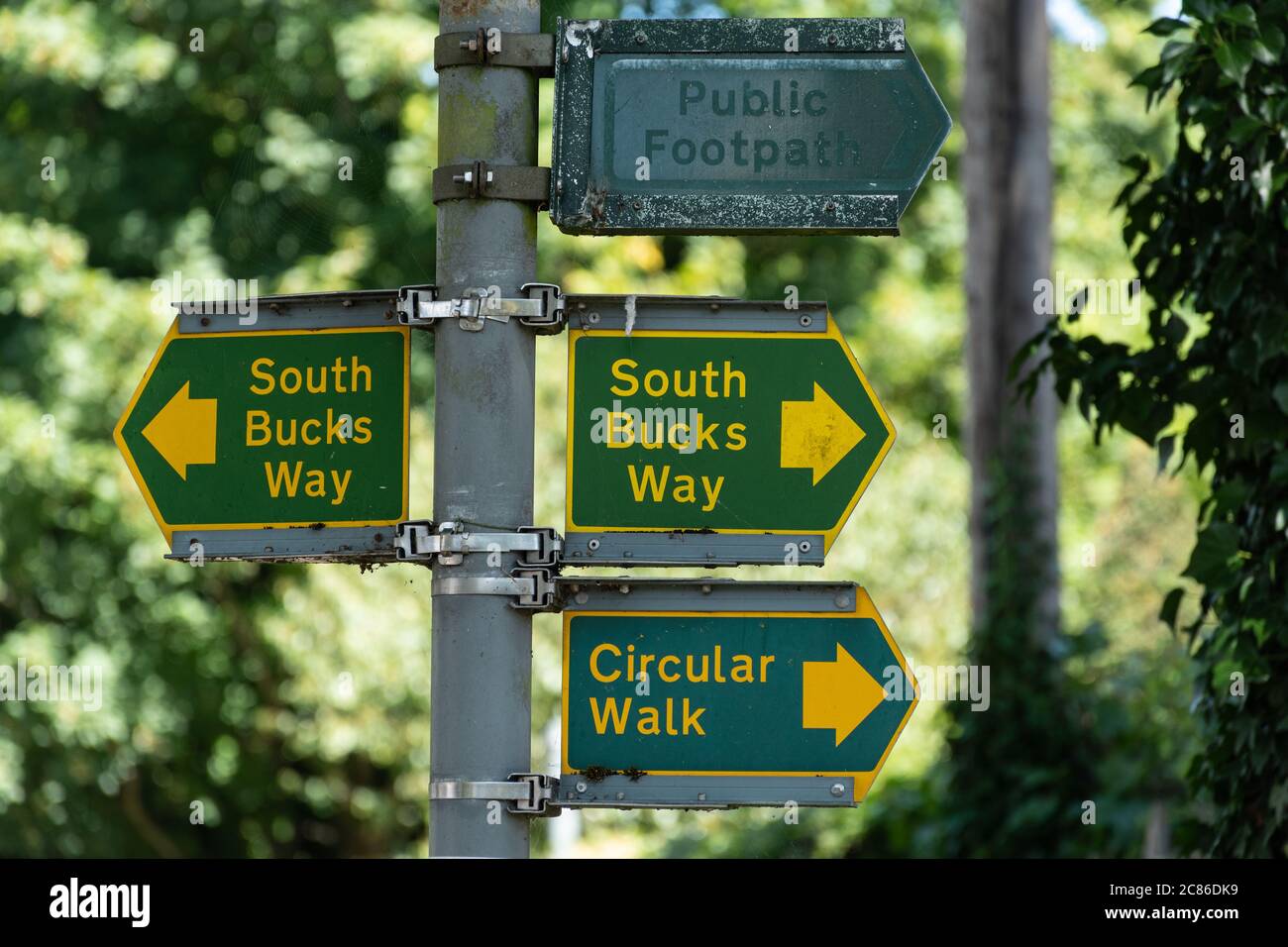 Signpost or signs for the South Bucks Way, a long distance walking route or footpath through the Chilterns in Buckinghamshire, UK Stock Photohttps://www.alamy.com/image-license-details/?v=1https://www.alamy.com/signpost-or-signs-for-the-south-bucks-way-a-long-distance-walking-route-or-footpath-through-the-chilterns-in-buckinghamshire-uk-image366477421.html
RM2C86DK9–Signpost or signs for the South Bucks Way, a long distance walking route or footpath through the Chilterns in Buckinghamshire, UK
 Great Orme nature trail walking route, Llandudno, North Wales Stock Photohttps://www.alamy.com/image-license-details/?v=1https://www.alamy.com/stock-photo-great-orme-nature-trail-walking-route-llandudno-north-wales-101371140.html
RMFTWRWT–Great Orme nature trail walking route, Llandudno, North Wales
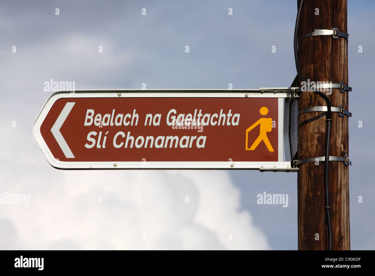 Irish language sign for Connemara Way walking route in the West of Ireland Stock Photohttps://www.alamy.com/image-license-details/?v=1https://www.alamy.com/stock-photo-irish-language-sign-for-connemara-way-walking-route-in-the-west-of-40253291.html
RMC9DKDF–Irish language sign for Connemara Way walking route in the West of Ireland
 Walking route near Vera de Moncayo, with Monasterio de Veruela monastery in distance, Aragon, Spain. February 2017. Stock Photohttps://www.alamy.com/image-license-details/?v=1https://www.alamy.com/stock-image-walking-route-near-vera-de-moncayo-with-monasterio-de-veruela-monastery-169333350.html
RMKRDPBJ–Walking route near Vera de Moncayo, with Monasterio de Veruela monastery in distance, Aragon, Spain. February 2017.
 Sign and waymarker along the Via degli Dei 019 walking route in the Appenine hills, Tuscany, Italy Stock Photohttps://www.alamy.com/image-license-details/?v=1https://www.alamy.com/stock-photo-sign-and-waymarker-along-the-via-degli-dei-019-walking-route-in-the-108221623.html
RMG81WNY–Sign and waymarker along the Via degli Dei 019 walking route in the Appenine hills, Tuscany, Italy
 Sign marking a winter walking route in Carinthia, Austria Stock Photohttps://www.alamy.com/image-license-details/?v=1https://www.alamy.com/stock-photo-sign-marking-a-winter-walking-route-in-carinthia-austria-12365191.html
RFA9GYRM–Sign marking a winter walking route in Carinthia, Austria
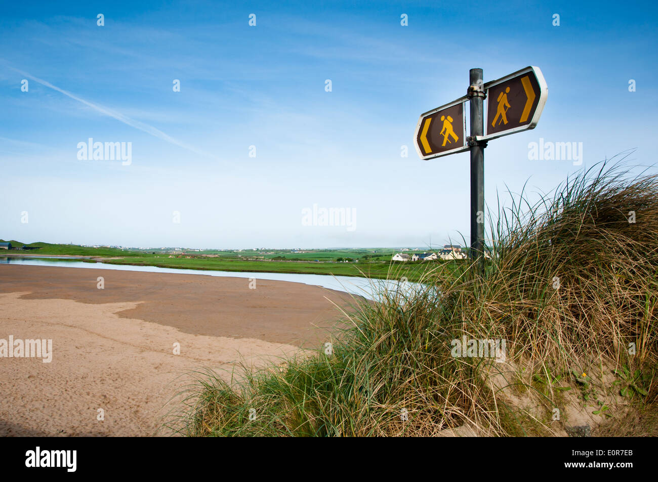 Walking Route Signs on Coastal Path on West Coast of Ireland Stock Photohttps://www.alamy.com/image-license-details/?v=1https://www.alamy.com/walking-route-signs-on-coastal-path-on-west-coast-of-ireland-image69352259.html
RFE0R7EB–Walking Route Signs on Coastal Path on West Coast of Ireland
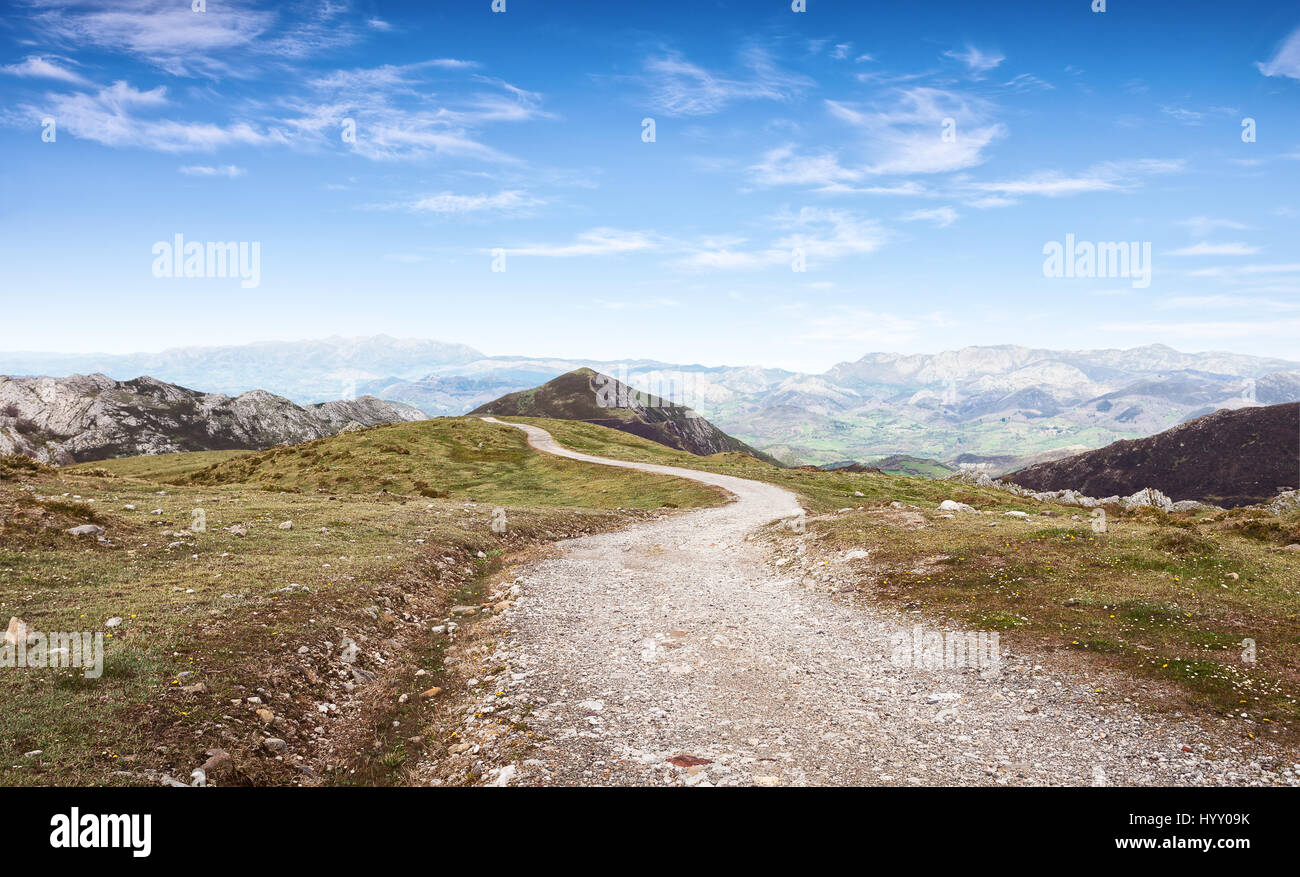 Walking route in Cantabrian Mountains, Picos de Europa National Park, Asturias, Spain. Stock Photohttps://www.alamy.com/image-license-details/?v=1https://www.alamy.com/stock-photo-walking-route-in-cantabrian-mountains-picos-de-europa-national-park-137661263.html
RFHYY09K–Walking route in Cantabrian Mountains, Picos de Europa National Park, Asturias, Spain.
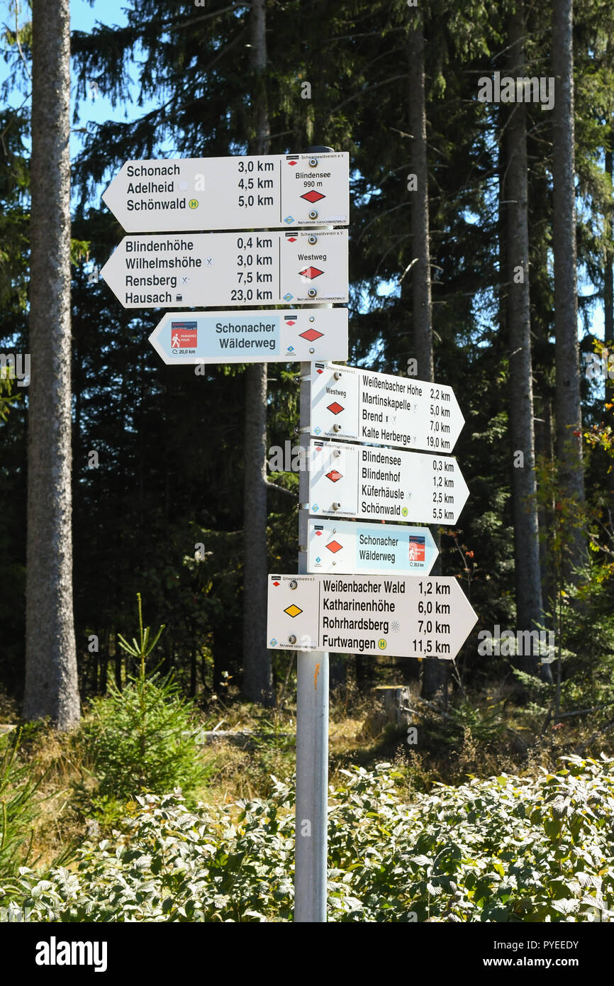 footpath sign marker for the Westweg or Westway long distance Black Forest walking route, Germany, Europe Stock Photohttps://www.alamy.com/image-license-details/?v=1https://www.alamy.com/footpath-sign-marker-for-the-westweg-or-westway-long-distance-black-forest-walking-route-germany-europe-image223438823.html
RFPYEEDY–footpath sign marker for the Westweg or Westway long distance Black Forest walking route, Germany, Europe
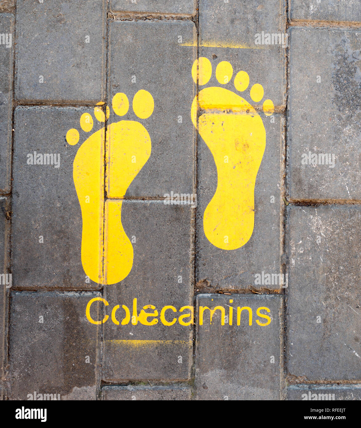 Stencilled yellow footprints on pavement showing a safe walking route to school, Colecamins, in Valencia, Spain, Europe Stock Photohttps://www.alamy.com/image-license-details/?v=1https://www.alamy.com/stencilled-yellow-footprints-on-pavement-showing-a-safe-walking-route-to-school-colecamins-in-valencia-spain-europe-image233273456.html
RMRFEEJT–Stencilled yellow footprints on pavement showing a safe walking route to school, Colecamins, in Valencia, Spain, Europe
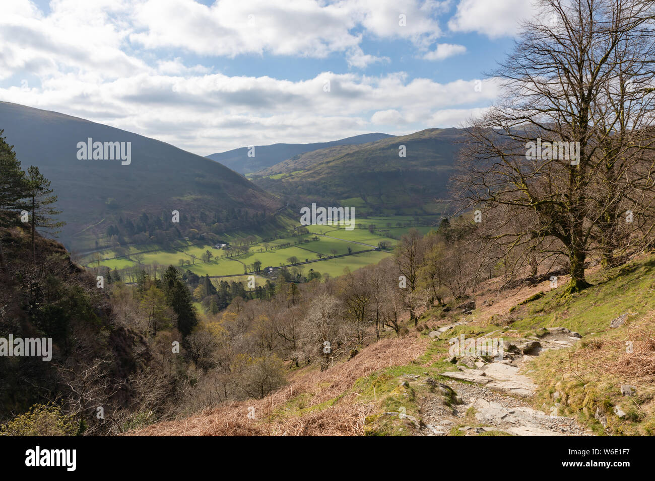 Minffordd, Gwynedd, Wales, UK: The Fawnog valley at Minffordd from the Minffordd path, a popular walking route that leads to Cadair Idris. Stock Photohttps://www.alamy.com/image-license-details/?v=1https://www.alamy.com/minffordd-gwynedd-wales-uk-the-fawnog-valley-at-minffordd-from-the-minffordd-path-a-popular-walking-route-that-leads-to-cadair-idris-image262151995.html
RMW6E1F7–Minffordd, Gwynedd, Wales, UK: The Fawnog valley at Minffordd from the Minffordd path, a popular walking route that leads to Cadair Idris.
 Ancient olive trees are plentiful along stages of the well waymarked GR221 walking route in Mallorca - the Ruta de Pedra en Sec, or Dry Stone Way. Stock Photohttps://www.alamy.com/image-license-details/?v=1https://www.alamy.com/ancient-olive-trees-are-plentiful-along-stages-of-the-well-waymarked-gr221-walking-route-in-mallorca-the-ruta-de-pedra-en-sec-or-dry-stone-way-image353557007.html
RM2BF5WFY–Ancient olive trees are plentiful along stages of the well waymarked GR221 walking route in Mallorca - the Ruta de Pedra en Sec, or Dry Stone Way.
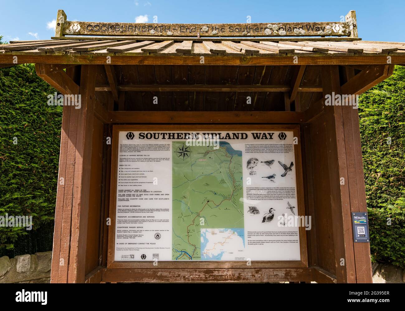 Noticeboard with map at end of Southern Upland Way walking route in Cockburnspath, Berwickshire, Scottish Borders, Scotland, UK Stock Photohttps://www.alamy.com/image-license-details/?v=1https://www.alamy.com/noticeboard-with-map-at-end-of-southern-upland-way-walking-route-in-cockburnspath-berwickshire-scottish-borders-scotland-uk-image432305071.html
RM2G395ER–Noticeboard with map at end of Southern Upland Way walking route in Cockburnspath, Berwickshire, Scottish Borders, Scotland, UK
 Walking route on Black canyon Stock Photohttps://www.alamy.com/image-license-details/?v=1https://www.alamy.com/stock-photo-walking-route-on-black-canyon-175240015.html
RMM52TBY–Walking route on Black canyon
 signpost indicating walking route footpath right of way in the derbyshire dales high peak district national park england uk Stock Photohttps://www.alamy.com/image-license-details/?v=1https://www.alamy.com/stock-photo-signpost-indicating-walking-route-footpath-right-of-way-in-the-derbyshire-29777750.html
RMBMCDR2–signpost indicating walking route footpath right of way in the derbyshire dales high peak district national park england uk
 Former railway line now a cycle and walking route with shady trees. Stock Photohttps://www.alamy.com/image-license-details/?v=1https://www.alamy.com/former-railway-line-now-a-cycle-and-walking-route-with-shady-trees-image188585844.html
RMMXPR4M–Former railway line now a cycle and walking route with shady trees.
 Arch sculpture on the 'CityLink' walking route between the Etihad Campus-Co-op Live Arena and the City Centre. Manchester, England, UK Stock Photohttps://www.alamy.com/image-license-details/?v=1https://www.alamy.com/arch-sculpture-on-the-citylink-walking-route-between-the-etihad-campus-co-op-live-arena-and-the-city-centre-manchester-england-uk-image609879783.html
RM2XC6BTR–Arch sculpture on the 'CityLink' walking route between the Etihad Campus-Co-op Live Arena and the City Centre. Manchester, England, UK
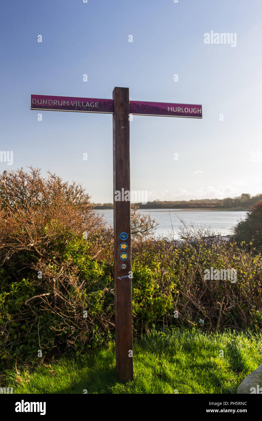 A Lecale Way route sign, part of the Ulster Way, long distance walking route. Dundrum Village and Murlough Beach signposted near Dundrum, County Down Stock Photohttps://www.alamy.com/image-license-details/?v=1https://www.alamy.com/a-lecale-way-route-sign-part-of-the-ulster-way-long-distance-walking-route-dundrum-village-and-murlough-beach-signposted-near-dundrum-county-down-image217101960.html
RMPH5RNC–A Lecale Way route sign, part of the Ulster Way, long distance walking route. Dundrum Village and Murlough Beach signposted near Dundrum, County Down
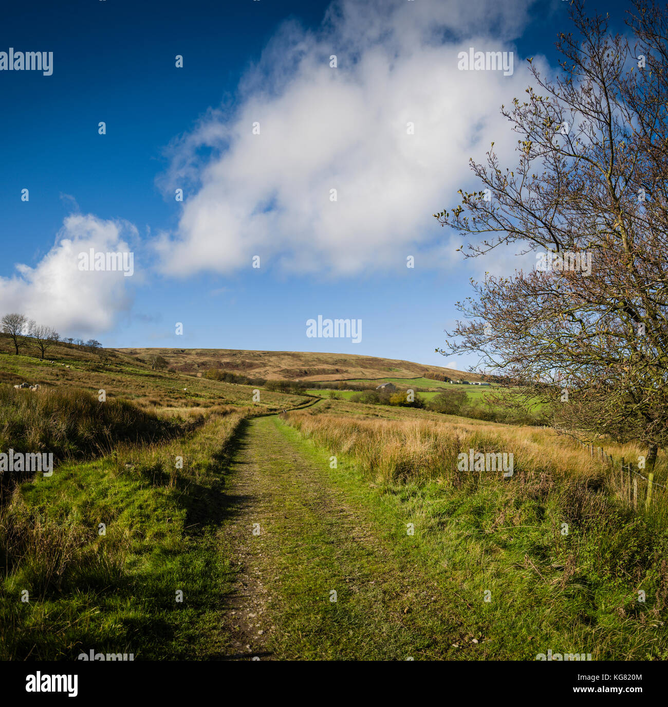 Walking route around Stocks Reservoir, Gisburn Forest, Lancashire, UK. Stock Photohttps://www.alamy.com/image-license-details/?v=1https://www.alamy.com/stock-image-walking-route-around-stocks-reservoir-gisburn-forest-lancashire-uk-164905012.html
RFKG820M–Walking route around Stocks Reservoir, Gisburn Forest, Lancashire, UK.
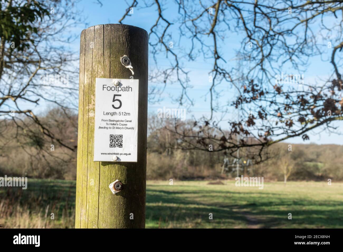 Country footpath walking route sign with a data matrix barcode or QR code, modern mobile phone technology, Winchfield, Hampshire, UK Stock Photohttps://www.alamy.com/image-license-details/?v=1https://www.alamy.com/country-footpath-walking-route-sign-with-a-data-matrix-barcode-or-qr-code-modern-mobile-phone-technology-winchfield-hampshire-uk-image403791965.html
RM2ECX8NH–Country footpath walking route sign with a data matrix barcode or QR code, modern mobile phone technology, Winchfield, Hampshire, UK
 Great Orme nature trail walking route, Llandudno, North Wales Stock Photohttps://www.alamy.com/image-license-details/?v=1https://www.alamy.com/stock-photo-great-orme-nature-trail-walking-route-llandudno-north-wales-101371130.html
RMFTWRWE–Great Orme nature trail walking route, Llandudno, North Wales
 Walking route signpost Betancuria Fuerteventura Canary Islands Spain Stock Photohttps://www.alamy.com/image-license-details/?v=1https://www.alamy.com/walking-route-signpost-betancuria-fuerteventura-canary-islands-spain-image343712450.html
RF2AY5CMJ–Walking route signpost Betancuria Fuerteventura Canary Islands Spain
 Signboard giving directions of walking route, Heart of England Forest, Dorsington, Warwickshire, UK Stock Photohttps://www.alamy.com/image-license-details/?v=1https://www.alamy.com/signboard-giving-directions-of-walking-route-heart-of-england-forest-dorsington-warwickshire-uk-image237728711.html
RMRPNDB3–Signboard giving directions of walking route, Heart of England Forest, Dorsington, Warwickshire, UK
 Sign for the Rail Trail and easy walking route between Goathland and Grosmont in the North York Moors along the route of an old railway line Stock Photohttps://www.alamy.com/image-license-details/?v=1https://www.alamy.com/sign-for-the-rail-trail-and-easy-walking-route-between-goathland-and-grosmont-in-the-north-york-moors-along-the-route-of-an-old-railway-line-image360006187.html
RM2BWKKFR–Sign for the Rail Trail and easy walking route between Goathland and Grosmont in the North York Moors along the route of an old railway line
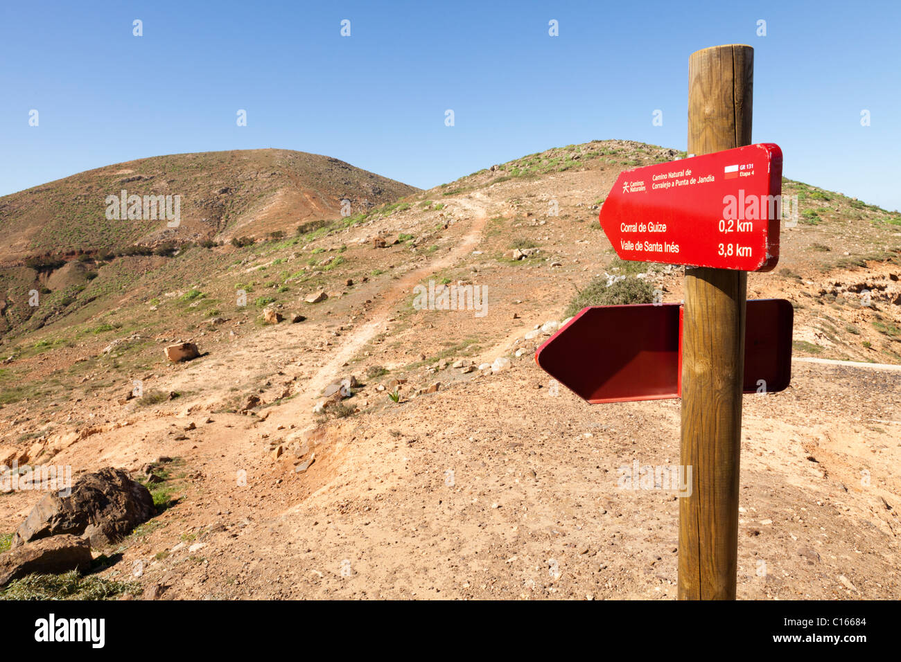 Footpath signs for GR131 a long distance walking route across the Canary Island of Fuerteventura - near Mirador de Morro Velosa Stock Photohttps://www.alamy.com/image-license-details/?v=1https://www.alamy.com/stock-photo-footpath-signs-for-gr131-a-long-distance-walking-route-across-the-35172036.html
RMC16684–Footpath signs for GR131 a long distance walking route across the Canary Island of Fuerteventura - near Mirador de Morro Velosa
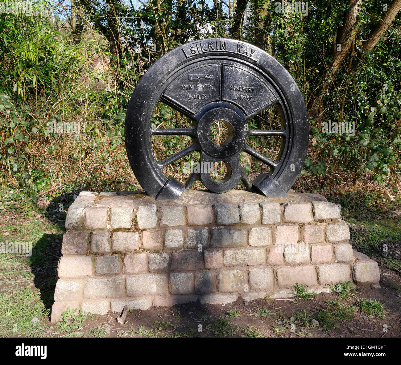 Commemorative sculpture on the Silkin Way cycling and walking route, Telford and Wrekin, Shropshire, England, UK. Stock Photohttps://www.alamy.com/image-license-details/?v=1https://www.alamy.com/stock-photo-commemorative-sculpture-on-the-silkin-way-cycling-and-walking-route-115590371.html
RFGM1GKF–Commemorative sculpture on the Silkin Way cycling and walking route, Telford and Wrekin, Shropshire, England, UK.
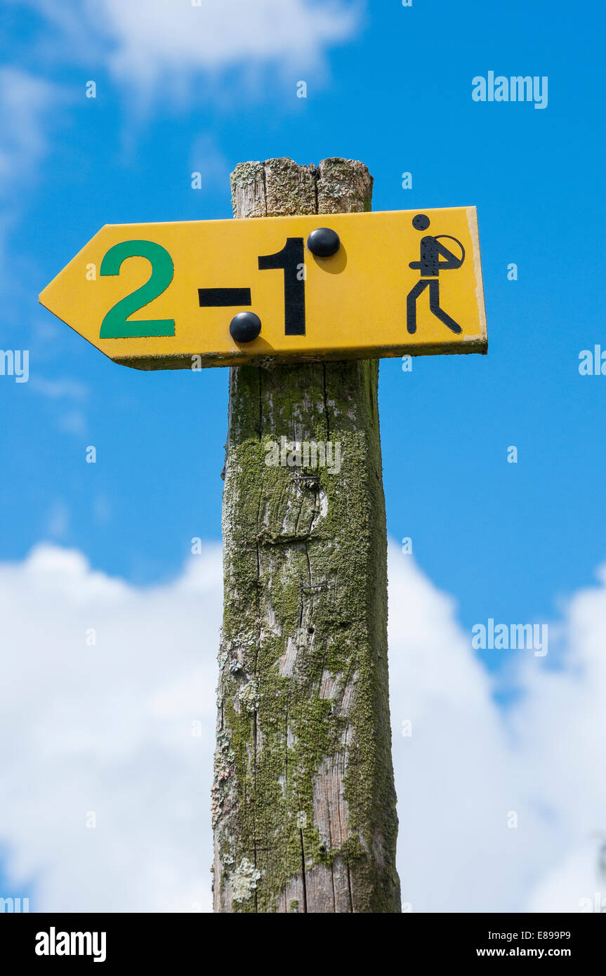 Walking route sign post, Vendee, France Stock Photohttps://www.alamy.com/image-license-details/?v=1https://www.alamy.com/stock-photo-walking-route-sign-post-vendee-france-73963969.html
RFE899P9–Walking route sign post, Vendee, France
 Signpost of walking route to Xativa Castle in Spain Stock Photohttps://www.alamy.com/image-license-details/?v=1https://www.alamy.com/stock-photo-signpost-of-walking-route-to-xativa-castle-in-spain-123077480.html
RMH46JG8–Signpost of walking route to Xativa Castle in Spain
 Walking route signs indicating street and nearby cities in Ribeirao Preto, Sao Paulo, Brazil Stock Photohttps://www.alamy.com/image-license-details/?v=1https://www.alamy.com/walking-route-signs-indicating-street-and-nearby-cities-in-ribeirao-preto-sao-paulo-brazil-image599604398.html
RF2WRE9EP–Walking route signs indicating street and nearby cities in Ribeirao Preto, Sao Paulo, Brazil
 Ragged Stone steps climb a hill on a walking Route in Cadair Idris, Wales. Stock Photohttps://www.alamy.com/image-license-details/?v=1https://www.alamy.com/stock-photo-ragged-stone-steps-climb-a-hill-on-a-walking-route-in-cadair-idris-92984129.html
RFFB7P5N–Ragged Stone steps climb a hill on a walking Route in Cadair Idris, Wales.
 Walking route, Chrobrego Boulevard on the Odra River, view of the port of Szczecin and Szczecin Shipyard, Szczecin, Poland Stock Photohttps://www.alamy.com/image-license-details/?v=1https://www.alamy.com/walking-route-chrobrego-boulevard-on-the-odra-river-view-of-the-port-of-szczecin-and-szczecin-shipyard-szczecin-poland-image547394881.html
RM2PPFYN5–Walking route, Chrobrego Boulevard on the Odra River, view of the port of Szczecin and Szczecin Shipyard, Szczecin, Poland
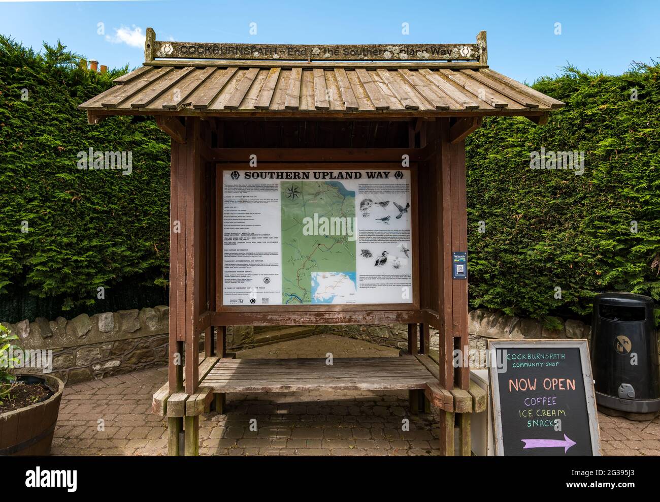 Noticeboard with map at end of Southern Upland Way walking route in Cockburnspath, Berwickshire, Scottish Borders, Scotland, UK Stock Photohttps://www.alamy.com/image-license-details/?v=1https://www.alamy.com/noticeboard-with-map-at-end-of-southern-upland-way-walking-route-in-cockburnspath-berwickshire-scottish-borders-scotland-uk-image432305163.html
RM2G395J3–Noticeboard with map at end of Southern Upland Way walking route in Cockburnspath, Berwickshire, Scottish Borders, Scotland, UK
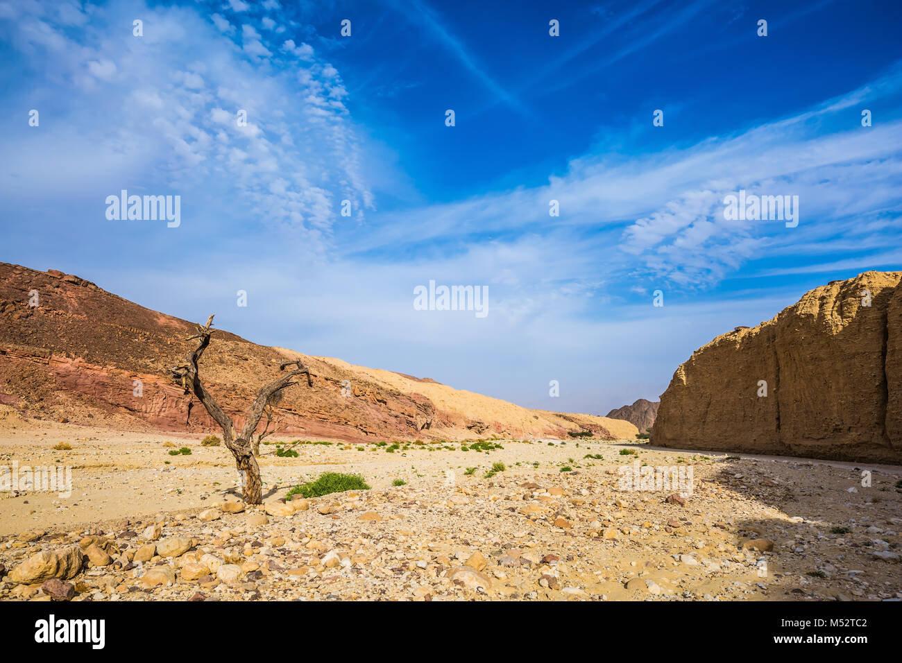 Walking route on Black canyon Stock Photohttps://www.alamy.com/image-license-details/?v=1https://www.alamy.com/stock-photo-walking-route-on-black-canyon-175240018.html
RMM52TC2–Walking route on Black canyon
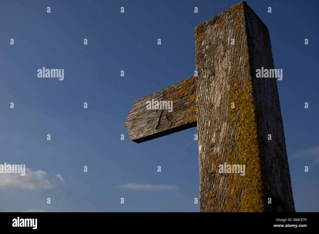 signpost indicating walking route footpath right of way in the derbyshire dales high peak district national park england uk Stock Photohttps://www.alamy.com/image-license-details/?v=1https://www.alamy.com/stock-photo-signpost-indicating-walking-route-footpath-right-of-way-in-the-derbyshire-29778575.html
RMBMCETF–signpost indicating walking route footpath right of way in the derbyshire dales high peak district national park england uk
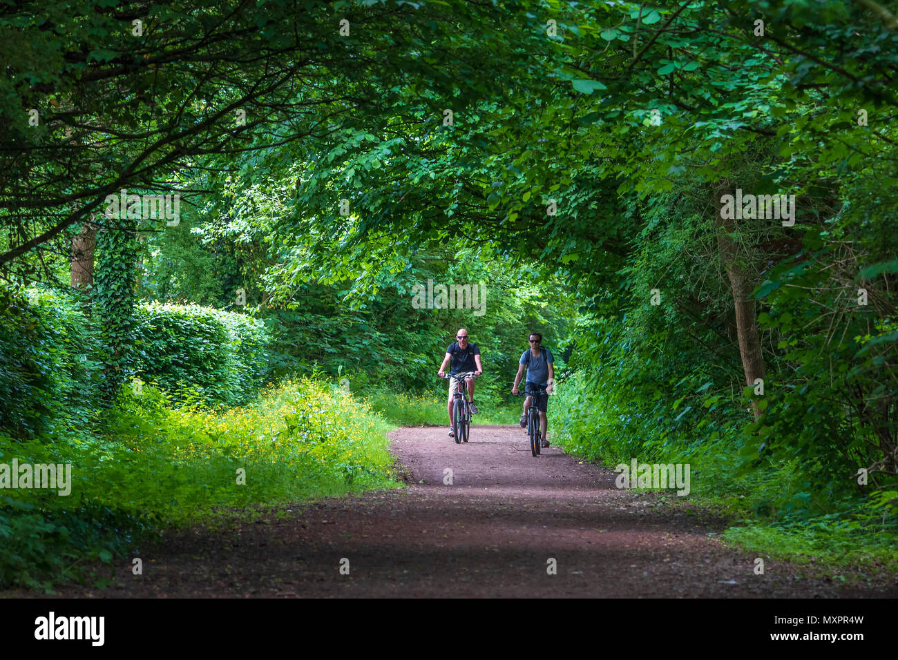 Former railway line now a cycle and walking route with shady trees. Stock Photohttps://www.alamy.com/image-license-details/?v=1https://www.alamy.com/former-railway-line-now-a-cycle-and-walking-route-with-shady-trees-image188585849.html
RMMXPR4W–Former railway line now a cycle and walking route with shady trees.
 Stylised bee sculpture on the 'CityLink' walking route between the Etihad Campus-Co-op Live Arena and the City Centre. Manchester, England, UK Stock Photohttps://www.alamy.com/image-license-details/?v=1https://www.alamy.com/stylised-bee-sculpture-on-the-citylink-walking-route-between-the-etihad-campus-co-op-live-arena-and-the-city-centre-manchester-england-uk-image609879793.html
RM2XC6BW5–Stylised bee sculpture on the 'CityLink' walking route between the Etihad Campus-Co-op Live Arena and the City Centre. Manchester, England, UK
 Schoterkring walking route, 17-03-1998, Whizgle Dutch News: Historic Images Tailored for the Future. Explore The Netherlands past with modern perspectives through Dutch agency imagery. Bridging yesterday's events with tomorrow's insights. Embark on a timeless journey with stories that shape our future. Stock Photohttps://www.alamy.com/image-license-details/?v=1https://www.alamy.com/schoterkring-walking-route-17-03-1998-whizgle-dutch-news-historic-images-tailored-for-the-future-explore-the-netherlands-past-with-modern-perspectives-through-dutch-agency-imagery-bridging-yesterdays-events-with-tomorrows-insights-embark-on-a-timeless-journey-with-stories-that-shape-our-future-image616690004.html
RM2XR8JB0–Schoterkring walking route, 17-03-1998, Whizgle Dutch News: Historic Images Tailored for the Future. Explore The Netherlands past with modern perspectives through Dutch agency imagery. Bridging yesterday's events with tomorrow's insights. Embark on a timeless journey with stories that shape our future.
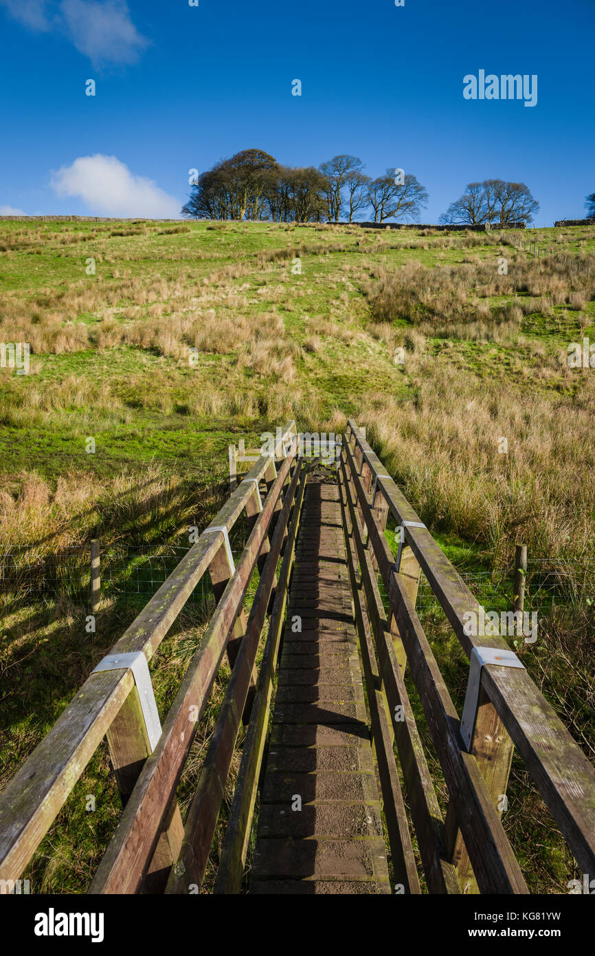 Walking route around Stocks Reservoir, Gisburn Forest, Lancashire, UK. Stock Photohttps://www.alamy.com/image-license-details/?v=1https://www.alamy.com/stock-image-walking-route-around-stocks-reservoir-gisburn-forest-lancashire-uk-164904989.html
RFKG81YW–Walking route around Stocks Reservoir, Gisburn Forest, Lancashire, UK.
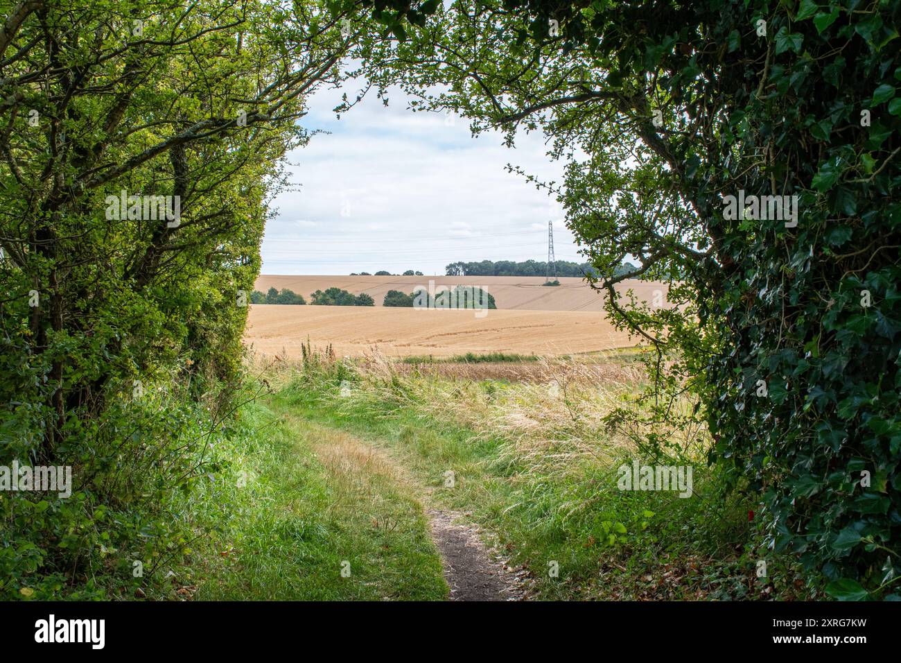 View of the Wayfarers Walk footpath, a long distance walking route, on the Hampshire Downs near Kingsclere, England, UK Stock Photohttps://www.alamy.com/image-license-details/?v=1https://www.alamy.com/view-of-the-wayfarers-walk-footpath-a-long-distance-walking-route-on-the-hampshire-downs-near-kingsclere-england-uk-image616857245.html
RM2XRG7KW–View of the Wayfarers Walk footpath, a long distance walking route, on the Hampshire Downs near Kingsclere, England, UK
 Four by four accessible track and walking route in the Chinyero area with volcanic landscape and pine forest, Tenerife, Canary Islands, Spain Stock Photohttps://www.alamy.com/image-license-details/?v=1https://www.alamy.com/four-by-four-accessible-track-and-walking-route-in-the-chinyero-area-with-volcanic-landscape-and-pine-forest-tenerife-canary-islands-spain-image241785309.html
RMT1A7HH–Four by four accessible track and walking route in the Chinyero area with volcanic landscape and pine forest, Tenerife, Canary Islands, Spain
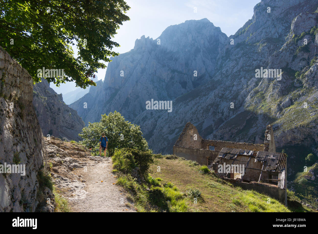 The cares gorge, Garganta del Cares, is famous for its walking route along side a hydro canal scheme, Ruta del Cares, Picos de Europa National Park Stock Photohttps://www.alamy.com/image-license-details/?v=1https://www.alamy.com/the-cares-gorge-garganta-del-cares-is-famous-for-its-walking-route-image151851318.html
RMJR1BWA–The cares gorge, Garganta del Cares, is famous for its walking route along side a hydro canal scheme, Ruta del Cares, Picos de Europa National Park
 Signboard giving directions of walking route, Heart of England Forest, Dorsington, Warwickshire, UK Stock Photohttps://www.alamy.com/image-license-details/?v=1https://www.alamy.com/signboard-giving-directions-of-walking-route-heart-of-england-forest-dorsington-warwickshire-uk-image237728735.html
RMRPNDBY–Signboard giving directions of walking route, Heart of England Forest, Dorsington, Warwickshire, UK
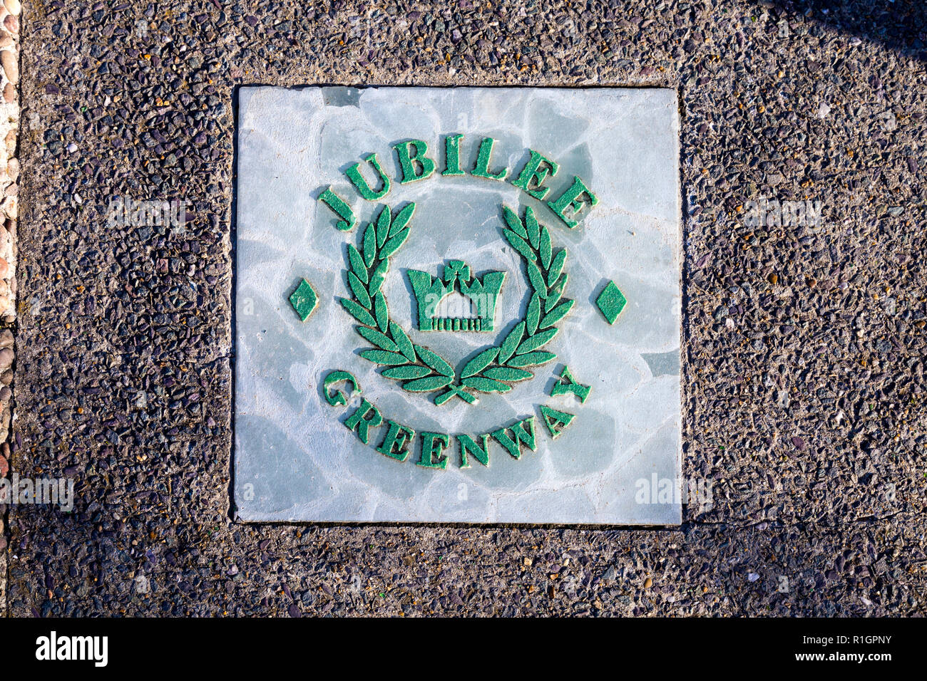 Sign for the Jubilee Greenway walking route in the pavement, London, UK Stock Photohttps://www.alamy.com/image-license-details/?v=1https://www.alamy.com/sign-for-the-jubilee-greenway-walking-route-in-the-pavement-london-uk-image224718535.html
RMR1GPNY–Sign for the Jubilee Greenway walking route in the pavement, London, UK
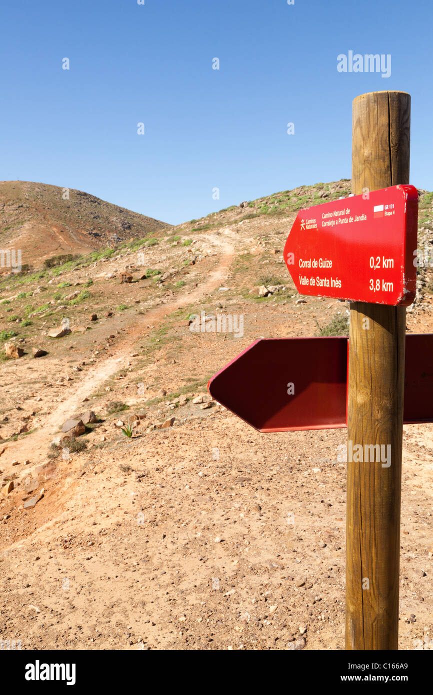 Footpath signs for GR131 a long distance walking route across the Canary Island of Fuerteventura - near Mirador de Morro Velosa Stock Photohttps://www.alamy.com/image-license-details/?v=1https://www.alamy.com/stock-photo-footpath-signs-for-gr131-a-long-distance-walking-route-across-the-35172097.html
RMC166A9–Footpath signs for GR131 a long distance walking route across the Canary Island of Fuerteventura - near Mirador de Morro Velosa
 Walking route by the sea in Corvo Island, Azores Stock Photohttps://www.alamy.com/image-license-details/?v=1https://www.alamy.com/walking-route-by-the-sea-in-corvo-island-azores-image433699447.html
RM2G5GM1Y–Walking route by the sea in Corvo Island, Azores
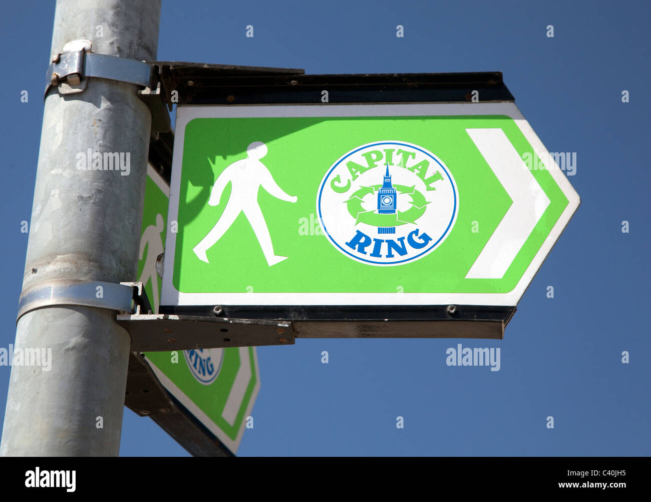 Sign for the Capital Ring walking route around Central London Stock Photohttps://www.alamy.com/image-license-details/?v=1https://www.alamy.com/stock-photo-sign-for-the-capital-ring-walking-route-around-central-london-36893953.html
RMC40JH5–Sign for the Capital Ring walking route around Central London
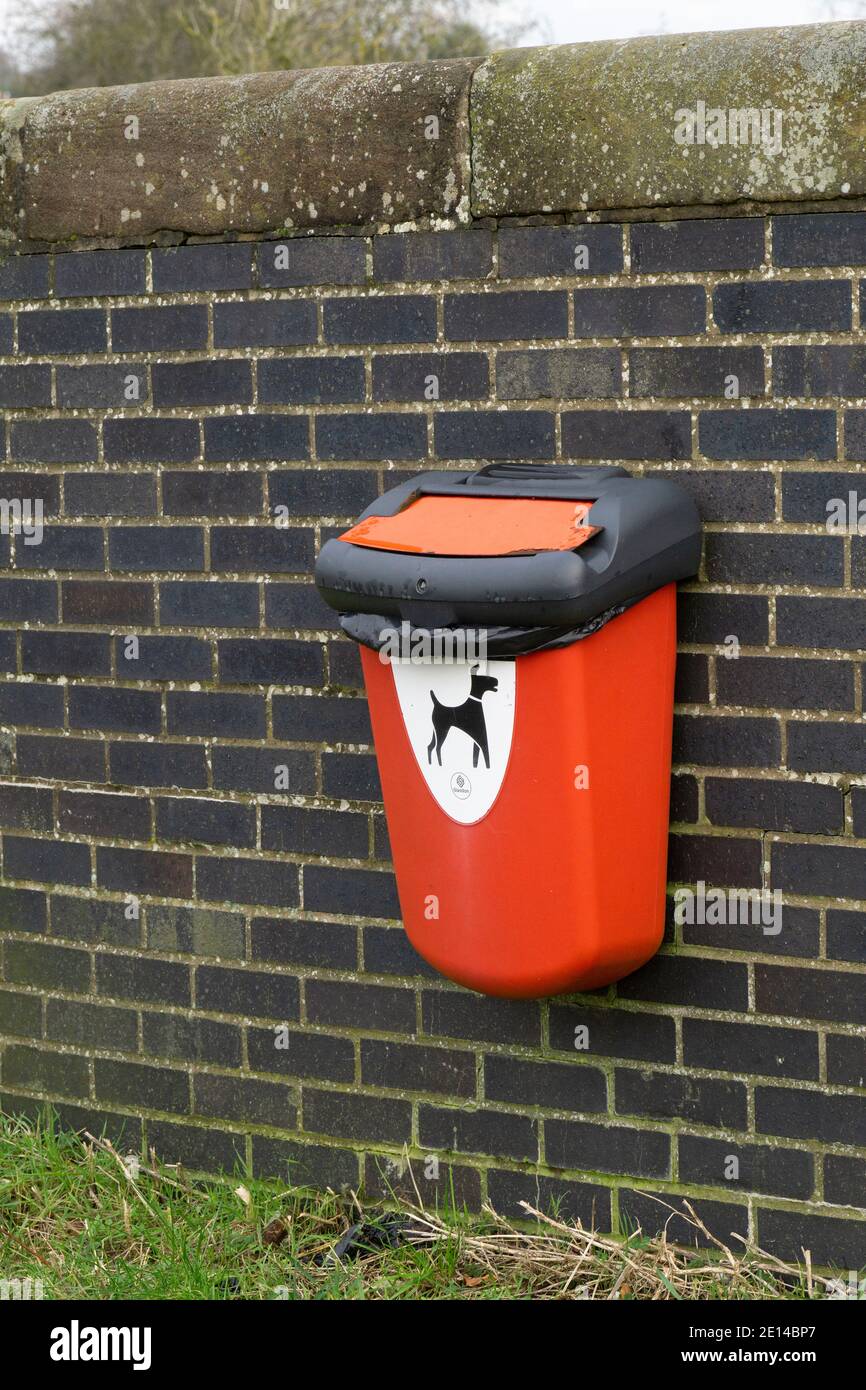 Dog poo bin on wall near popular dog walking route Stock Photohttps://www.alamy.com/image-license-details/?v=1https://www.alamy.com/dog-poo-bin-on-wall-near-popular-dog-walking-route-image396550175.html
RM2E14BP7–Dog poo bin on wall near popular dog walking route
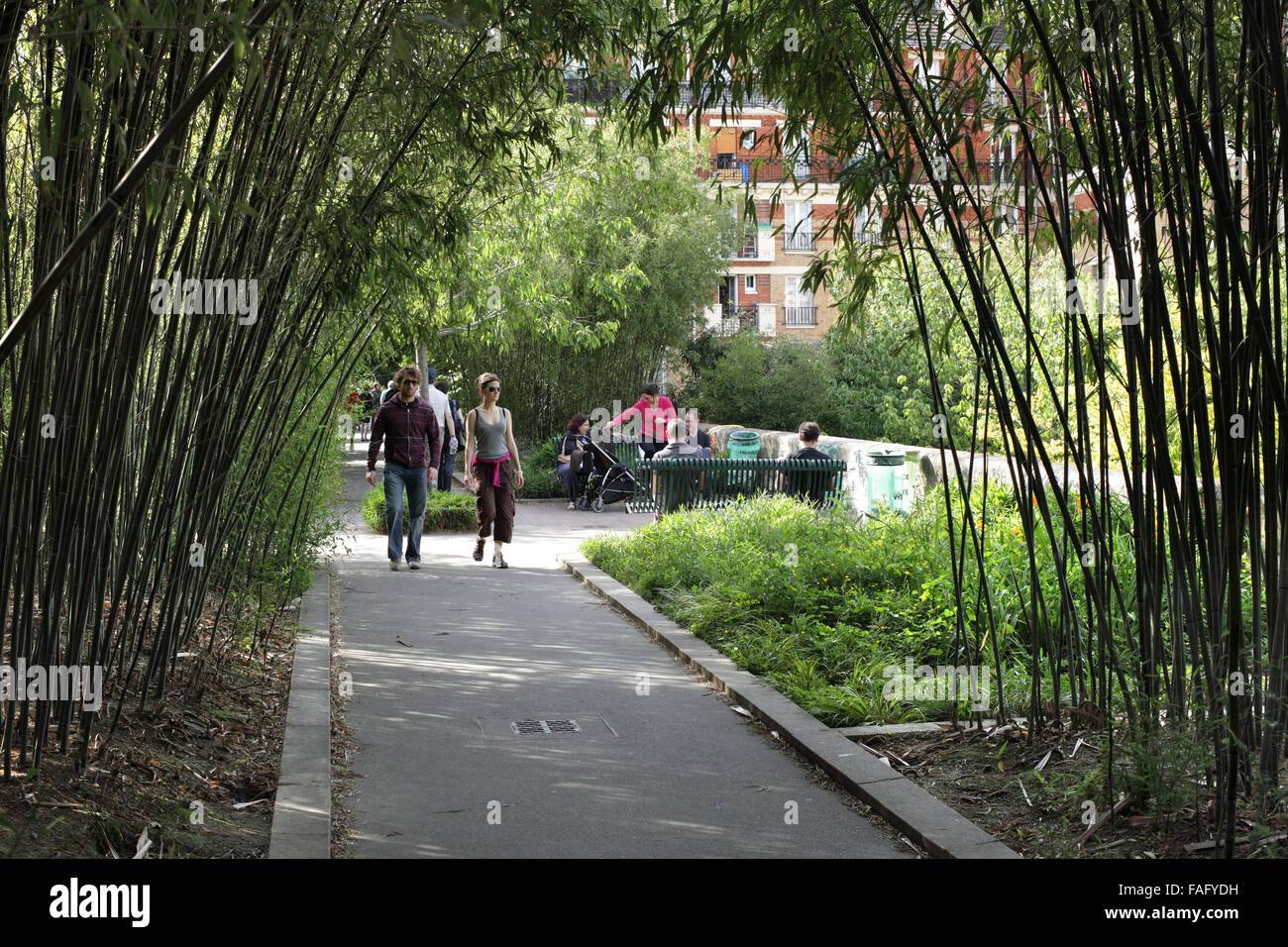 A bamboo grove on the Promenade Plantee, Paris. (A disused railway line turned into a landscaped walking route.) Stock Photohttps://www.alamy.com/image-license-details/?v=1https://www.alamy.com/stock-photo-a-bamboo-grove-on-the-promenade-plantee-paris-a-disused-railway-line-92549229.html
RMFAFYDH–A bamboo grove on the Promenade Plantee, Paris. (A disused railway line turned into a landscaped walking route.)
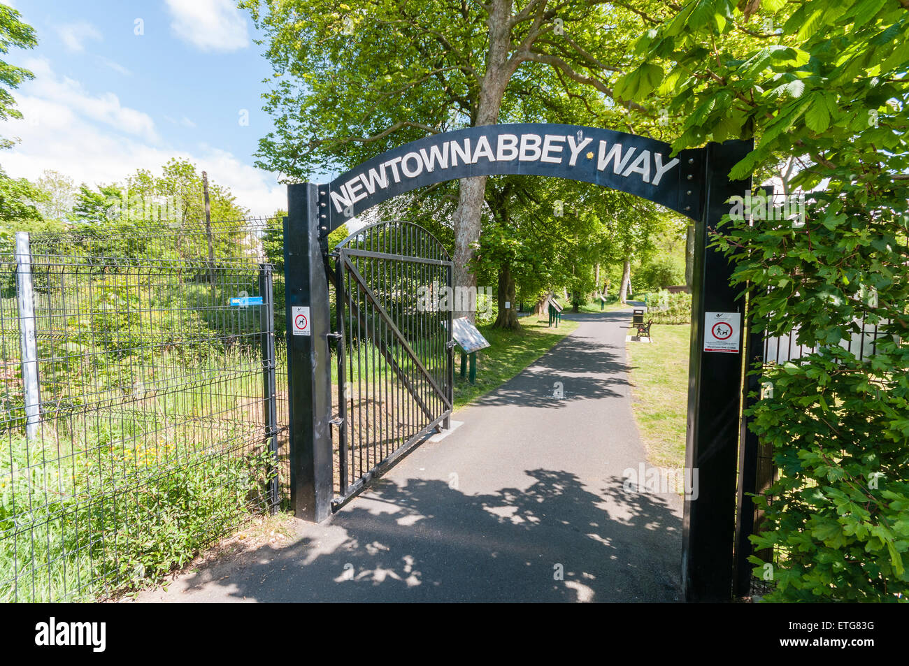 Newtownabbey Way walking route in County Antrim, Northern Ireland Stock Photohttps://www.alamy.com/image-license-details/?v=1https://www.alamy.com/stock-photo-newtownabbey-way-walking-route-in-county-antrim-northern-ireland-83950820.html
RMETG83G–Newtownabbey Way walking route in County Antrim, Northern Ireland
 Walking route, Chrobrego Boulevard on the Odra River, view of the port of Szczecin and Szczecin Shipyard, Szczecin, Poland Stock Photohttps://www.alamy.com/image-license-details/?v=1https://www.alamy.com/walking-route-chrobrego-boulevard-on-the-odra-river-view-of-the-port-of-szczecin-and-szczecin-shipyard-szczecin-poland-image547456186.html
RM2PPJNXJ–Walking route, Chrobrego Boulevard on the Odra River, view of the port of Szczecin and Szczecin Shipyard, Szczecin, Poland
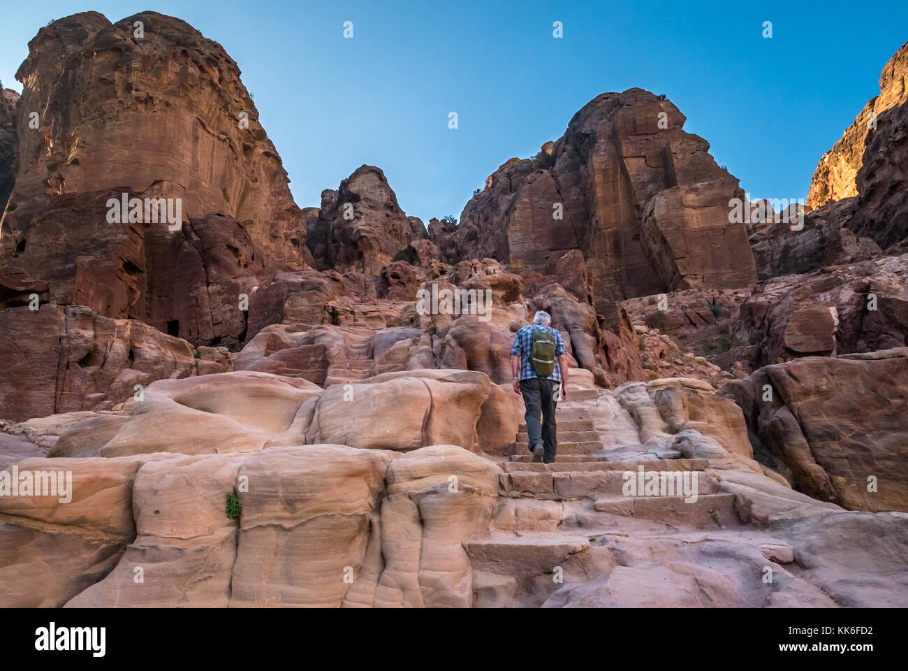 Senior man climbing carved stone steps on walking route to High Place of Sacrifice, Petra, Jordan, Middle East, in early morning light with blue sky Stock Photohttps://www.alamy.com/image-license-details/?v=1https://www.alamy.com/stock-image-senior-man-climbing-carved-stone-steps-on-walking-route-to-high-place-166715614.html
RMKK6FD2–Senior man climbing carved stone steps on walking route to High Place of Sacrifice, Petra, Jordan, Middle East, in early morning light with blue sky
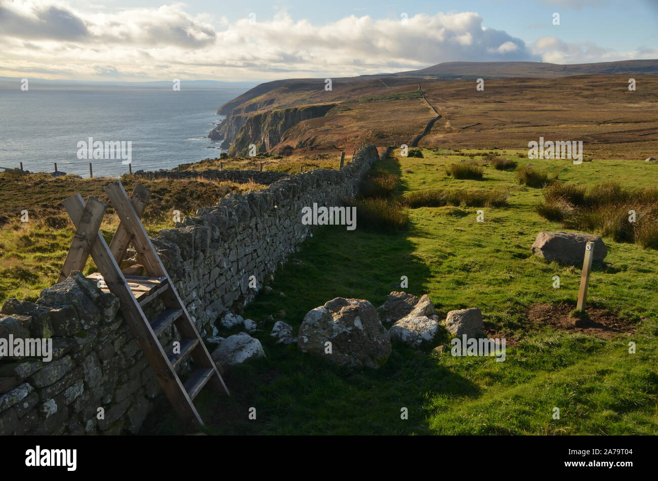 A coastal path, part of the route of the John O'Groat's Trail, a long distance walking route in the north of Scotland, Great Britain. Stock Photohttps://www.alamy.com/image-license-details/?v=1https://www.alamy.com/a-coastal-path-part-of-the-route-of-the-john-ogroats-trail-a-long-distance-walking-route-in-the-north-of-scotland-great-britain-image331515972.html
RF2A79T04–A coastal path, part of the route of the John O'Groat's Trail, a long distance walking route in the north of Scotland, Great Britain.
 signpost indicating walking route footpath right of way in the derbyshire dales high peak district national park england uk Stock Photohttps://www.alamy.com/image-license-details/?v=1https://www.alamy.com/stock-photo-signpost-indicating-walking-route-footpath-right-of-way-in-the-derbyshire-29778589.html
RMBMCEW1–signpost indicating walking route footpath right of way in the derbyshire dales high peak district national park england uk
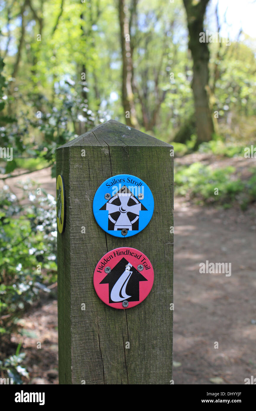 Walking route sign post marker Hindhead Surrey England UK Stock Photohttps://www.alamy.com/image-license-details/?v=1https://www.alamy.com/walking-route-sign-post-marker-hindhead-surrey-england-uk-image62694647.html
RMDHYYJF–Walking route sign post marker Hindhead Surrey England UK
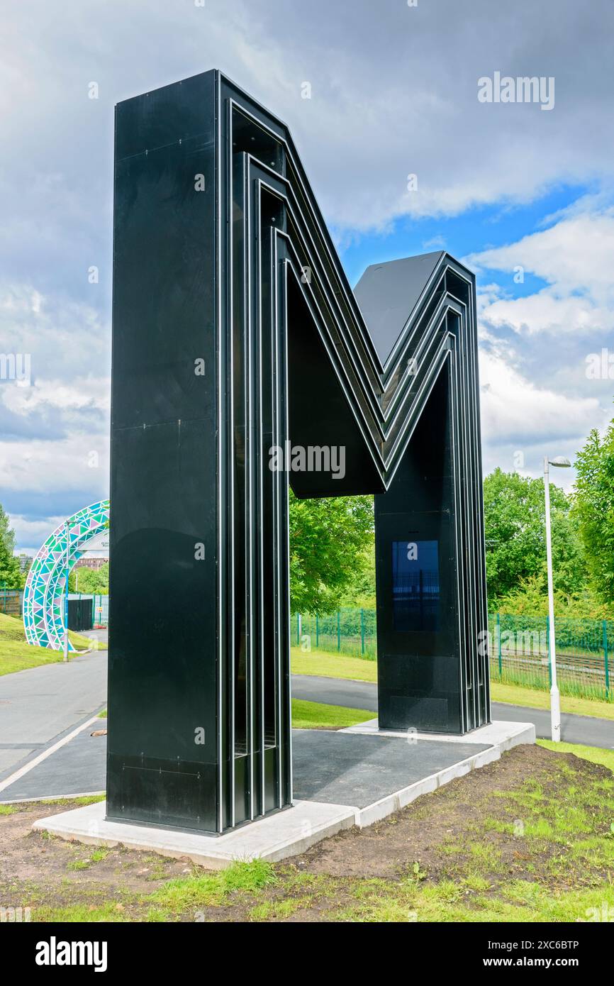 Giant M sculpture on the 'CityLink' walking route between the Etihad Campus-Co-op Live Arena and the City Centre. Manchester, England, UK Stock Photohttps://www.alamy.com/image-license-details/?v=1https://www.alamy.com/giant-m-sculpture-on-the-citylink-walking-route-between-the-etihad-campus-co-op-live-arena-and-the-city-centre-manchester-england-uk-image609879782.html
RM2XC6BTP–Giant M sculpture on the 'CityLink' walking route between the Etihad Campus-Co-op Live Arena and the City Centre. Manchester, England, UK
 Obstacles walking route, bus Klokhuisplein, Haarlem, Klokhuisplein, The Netherlands, 29-09-1997, Whizgle Dutch News: Historic Images Tailored for the Future. Explore The Netherlands past with modern perspectives through Dutch agency imagery. Bridging yesterday's events with tomorrow's insights. Embark on a timeless journey with stories that shape our future. Stock Photohttps://www.alamy.com/image-license-details/?v=1https://www.alamy.com/obstacles-walking-route-bus-klokhuisplein-haarlem-klokhuisplein-the-netherlands-29-09-1997-whizgle-dutch-news-historic-images-tailored-for-the-future-explore-the-netherlands-past-with-modern-perspectives-through-dutch-agency-imagery-bridging-yesterdays-events-with-tomorrows-insights-embark-on-a-timeless-journey-with-stories-that-shape-our-future-image616701828.html
RM2XR95D8–Obstacles walking route, bus Klokhuisplein, Haarlem, Klokhuisplein, The Netherlands, 29-09-1997, Whizgle Dutch News: Historic Images Tailored for the Future. Explore The Netherlands past with modern perspectives through Dutch agency imagery. Bridging yesterday's events with tomorrow's insights. Embark on a timeless journey with stories that shape our future.
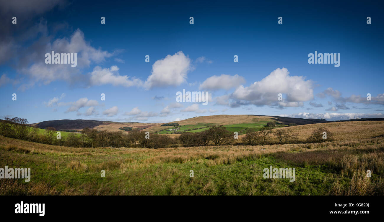 Walking route around Stocks Reservoir, Gisburn Forest, Lancashire, UK. Stock Photohttps://www.alamy.com/image-license-details/?v=1https://www.alamy.com/stock-image-walking-route-around-stocks-reservoir-gisburn-forest-lancashire-uk-164905010.html
RFKG820J–Walking route around Stocks Reservoir, Gisburn Forest, Lancashire, UK.
 View of the Wayfarers Walk footpath, a long distance walking route, on the Hampshire Downs near Kingsclere, England, UK Stock Photohttps://www.alamy.com/image-license-details/?v=1https://www.alamy.com/view-of-the-wayfarers-walk-footpath-a-long-distance-walking-route-on-the-hampshire-downs-near-kingsclere-england-uk-image616856784.html
RM2XRG73C–View of the Wayfarers Walk footpath, a long distance walking route, on the Hampshire Downs near Kingsclere, England, UK
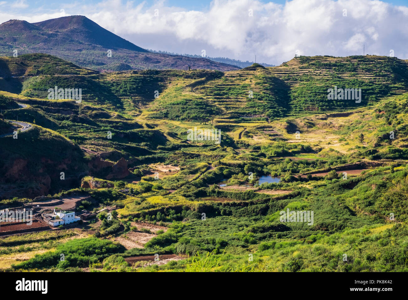 Views over the ponds at Erjos from a walking route on the ridge above, Teno, Tenerife, Canary Islands, Spain Stock Photohttps://www.alamy.com/image-license-details/?v=1https://www.alamy.com/views-over-the-ponds-at-erjos-from-a-walking-route-on-the-ridge-above-teno-tenerife-canary-islands-spain-image218393506.html
RMPK8K42–Views over the ponds at Erjos from a walking route on the ridge above, Teno, Tenerife, Canary Islands, Spain
 War memorial on the Pilgrims trail walking route between Twyford and Winchester in Hampshire, England, UK Stock Photohttps://www.alamy.com/image-license-details/?v=1https://www.alamy.com/war-memorial-on-the-pilgrims-trail-walking-route-between-twyford-and-image63493595.html
RFDK8AMB–War memorial on the Pilgrims trail walking route between Twyford and Winchester in Hampshire, England, UK
 Walking route called Komiezenpad nearby the border of the Netherlands and Germany Stock Photohttps://www.alamy.com/image-license-details/?v=1https://www.alamy.com/walking-route-called-komiezenpad-nearby-the-border-of-the-netherlands-and-germany-image477211513.html
RF2JMAT49–Walking route called Komiezenpad nearby the border of the Netherlands and Germany
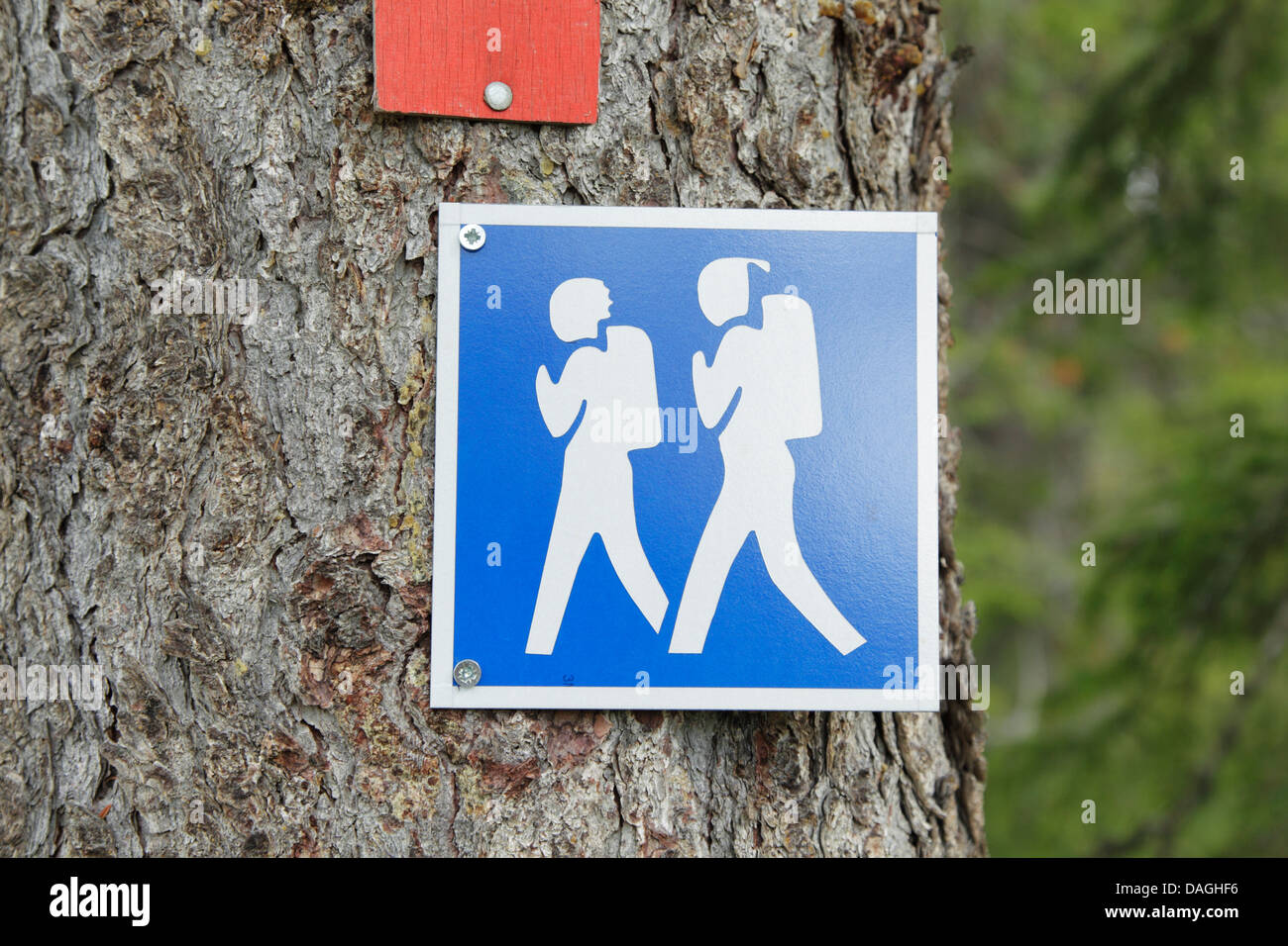 Square blue and white walking route sign representing two hikers, Finland Stock Photohttps://www.alamy.com/image-license-details/?v=1https://www.alamy.com/stock-photo-square-blue-and-white-walking-route-sign-representing-two-hikers-finland-58142650.html
RFDAGHF6–Square blue and white walking route sign representing two hikers, Finland
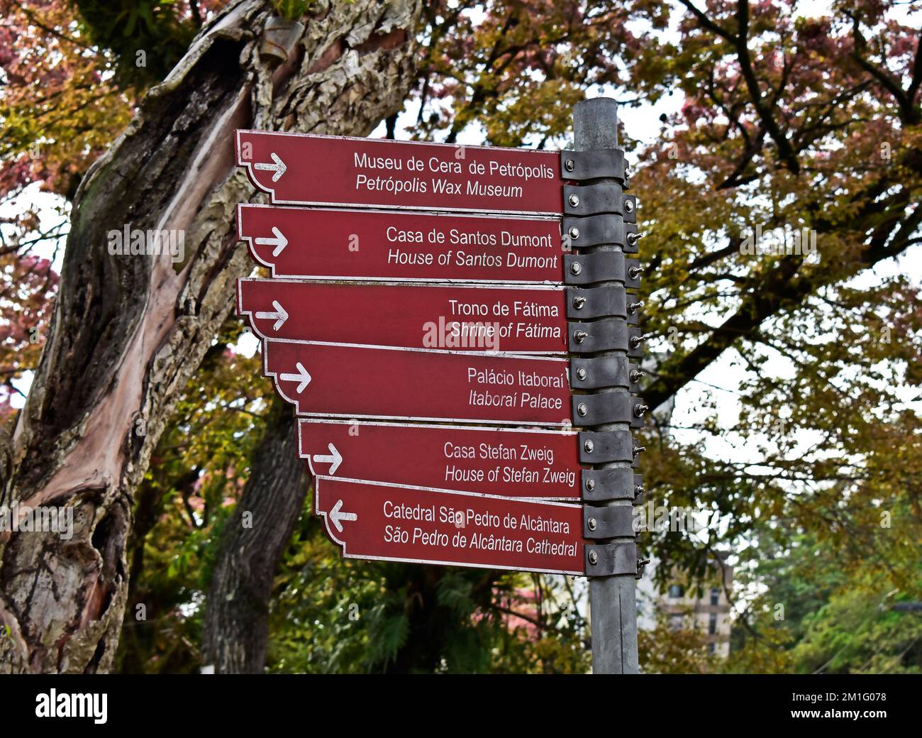 PETROPOLIS, RIO DE JANEIRO, BRAZIL - October 28, 2022: Walking route signs Stock Photohttps://www.alamy.com/image-license-details/?v=1https://www.alamy.com/petropolis-rio-de-janeiro-brazil-october-28-2022-walking-route-signs-image500066764.html
RF2M1G078–PETROPOLIS, RIO DE JANEIRO, BRAZIL - October 28, 2022: Walking route signs
 The PR10 SEI walking route between the forest in Serra Da Estrela, Portugal Stock Photohttps://www.alamy.com/image-license-details/?v=1https://www.alamy.com/the-pr10-sei-walking-route-between-the-forest-in-serra-da-estrela-portugal-image388699343.html
RM2DGANYB–The PR10 SEI walking route between the forest in Serra Da Estrela, Portugal
 Sign for local historical / cultural circular walking route around the town of Aljezur, Western Algarve, Portugal Stock Photohttps://www.alamy.com/image-license-details/?v=1https://www.alamy.com/sign-for-local-historical-cultural-circular-walking-route-around-the-image62763171.html
RMDJ331R–Sign for local historical / cultural circular walking route around the town of Aljezur, Western Algarve, Portugal
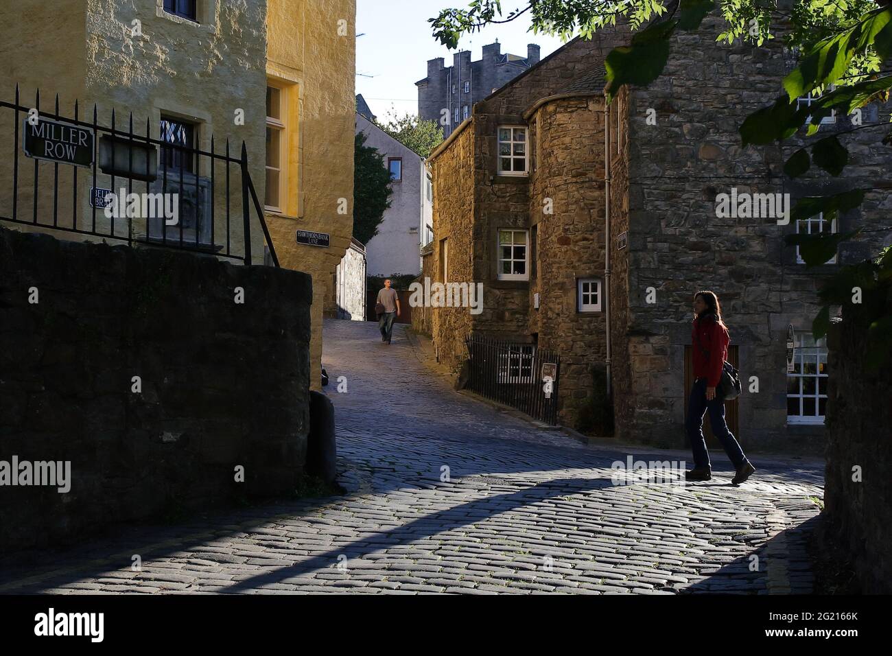 Colors and soft light reflections emphasizing the texture on the walls of the historical buildings along the creek walking route Stock Photohttps://www.alamy.com/image-license-details/?v=1https://www.alamy.com/colors-and-soft-light-reflections-emphasizing-the-texture-on-the-walls-of-the-historical-buildings-along-the-creek-walking-route-image431515355.html
RF2G2166K–Colors and soft light reflections emphasizing the texture on the walls of the historical buildings along the creek walking route
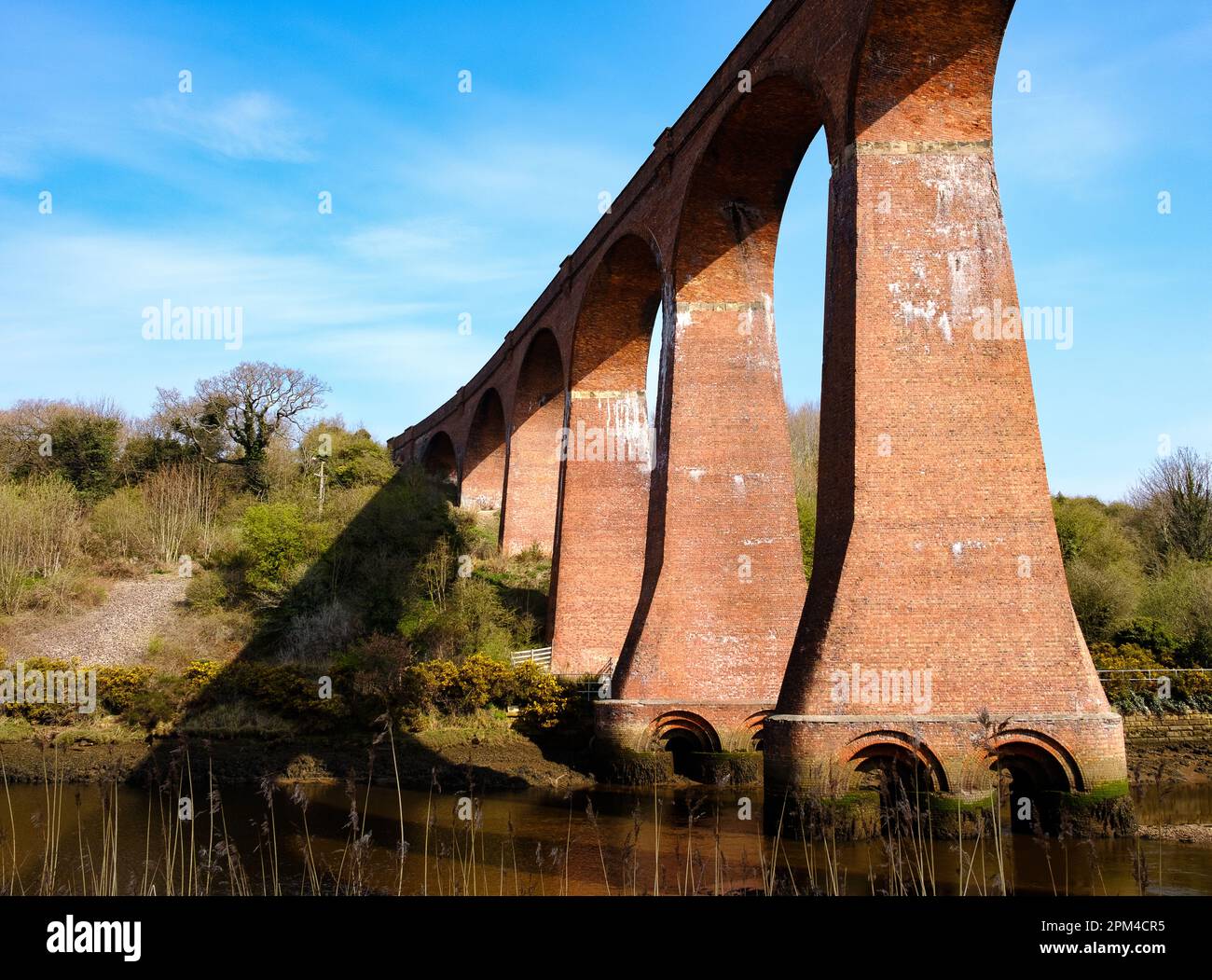 The Larpool Viaduct crossing the river Ask at Whitby. Now the route of the Cinder Path walking route between Whitby and Robin Hoods Bay Stock Photohttps://www.alamy.com/image-license-details/?v=1https://www.alamy.com/the-larpool-viaduct-crossing-the-river-ask-at-whitby-now-the-route-of-the-cinder-path-walking-route-between-whitby-and-robin-hoods-bay-image545912393.html
RM2PM4CR5–The Larpool Viaduct crossing the river Ask at Whitby. Now the route of the Cinder Path walking route between Whitby and Robin Hoods Bay
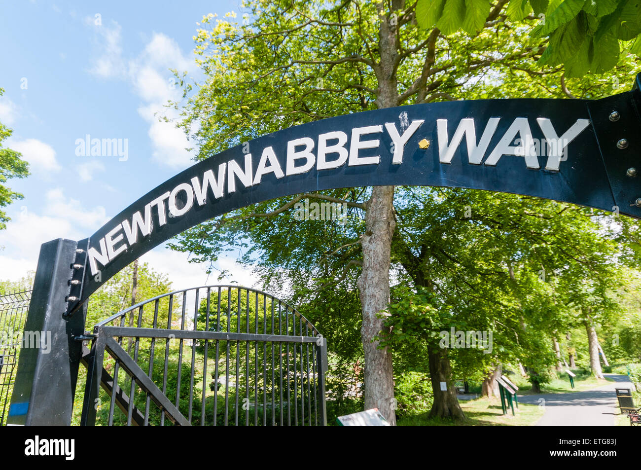 Newtownabbey Way walking route in County Antrim, Northern Ireland Stock Photohttps://www.alamy.com/image-license-details/?v=1https://www.alamy.com/stock-photo-newtownabbey-way-walking-route-in-county-antrim-northern-ireland-83950822.html
RMETG83J–Newtownabbey Way walking route in County Antrim, Northern Ireland
 The remains of a disused railway track now used as a walking route across Craddock Moor on Bodmin Moor in Cornwall UK. Stock Photohttps://www.alamy.com/image-license-details/?v=1https://www.alamy.com/the-remains-of-a-disused-railway-track-now-used-as-a-walking-route-across-craddock-moor-on-bodmin-moor-in-cornwall-uk-image465393810.html
RM2J14EFE–The remains of a disused railway track now used as a walking route across Craddock Moor on Bodmin Moor in Cornwall UK.
 Carved sandstone steps on mountain walking route to Ad Deir, the Monastery, Petra, Jordan, Middle East Stock Photohttps://www.alamy.com/image-license-details/?v=1https://www.alamy.com/stock-image-carved-sandstone-steps-on-mountain-walking-route-to-ad-deir-the-monastery-165025611.html
RMKGDFRR–Carved sandstone steps on mountain walking route to Ad Deir, the Monastery, Petra, Jordan, Middle East
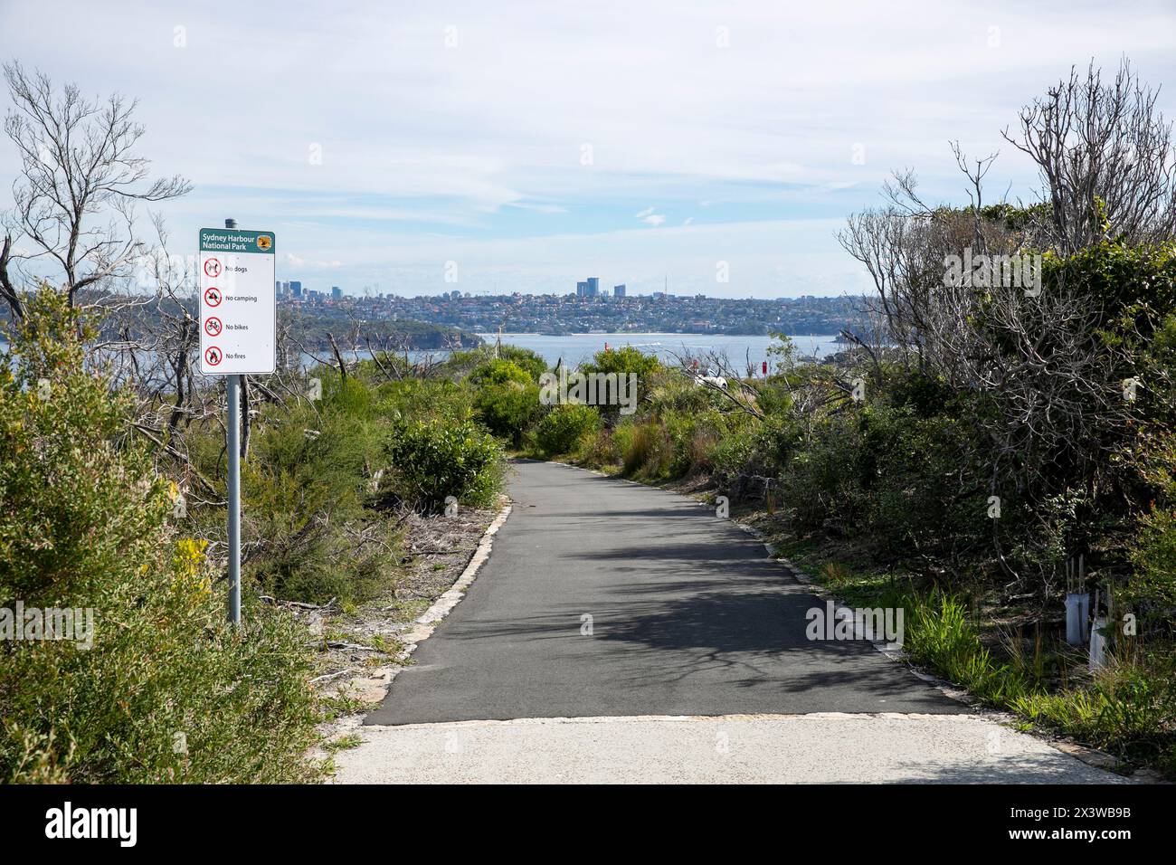 North Head Manly Sydney, paved Fairfax Track walking route loop that links the scenic lookouts on North Head,Sydney,NSW,Australia Stock Photohttps://www.alamy.com/image-license-details/?v=1https://www.alamy.com/north-head-manly-sydney-paved-fairfax-track-walking-route-loop-that-links-the-scenic-lookouts-on-north-headsydneynswaustralia-image604764535.html
RM2X3WB9B–North Head Manly Sydney, paved Fairfax Track walking route loop that links the scenic lookouts on North Head,Sydney,NSW,Australia
 an bealach glas great western greenway cycle and walking route achill sound , county mayo, republic of ireland Stock Photohttps://www.alamy.com/image-license-details/?v=1https://www.alamy.com/an-bealach-glas-great-western-greenway-cycle-and-walking-route-achill-sound-county-mayo-republic-of-ireland-image629902727.html
RM2YGPF9Y–an bealach glas great western greenway cycle and walking route achill sound , county mayo, republic of ireland
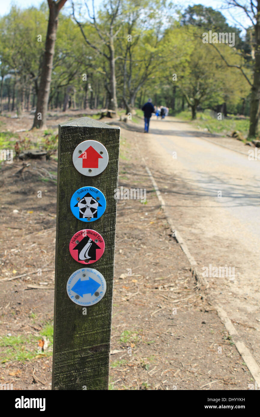 Walking route sign post marker Hindhead Surrey England UK Stock Photohttps://www.alamy.com/image-license-details/?v=1https://www.alamy.com/walking-route-sign-post-marker-hindhead-surrey-england-uk-image62694677.html
RMDHYYKH–Walking route sign post marker Hindhead Surrey England UK
 Giant M sculpture on the 'CityLink' walking route between the Etihad Campus-Co-op Live Arena and the City Centre. Manchester, England, UK Stock Photohttps://www.alamy.com/image-license-details/?v=1https://www.alamy.com/giant-m-sculpture-on-the-citylink-walking-route-between-the-etihad-campus-co-op-live-arena-and-the-city-centre-manchester-england-uk-image609879614.html
RM2XC6BJP–Giant M sculpture on the 'CityLink' walking route between the Etihad Campus-Co-op Live Arena and the City Centre. Manchester, England, UK
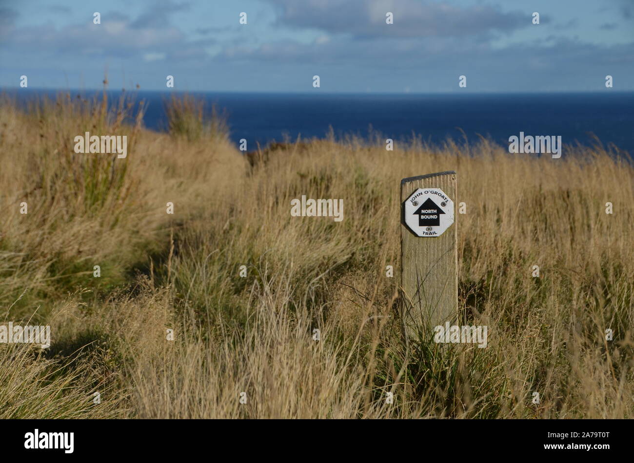 A post with a way marker for the John O'Groat's trail, a long distance walking route on the north east coast of Scotland, Great Britain. Stock Photohttps://www.alamy.com/image-license-details/?v=1https://www.alamy.com/a-post-with-a-way-marker-for-the-john-ogroats-trail-a-long-distance-walking-route-on-the-north-east-coast-of-scotland-great-britain-image331515992.html
RF2A79T0T–A post with a way marker for the John O'Groat's trail, a long distance walking route on the north east coast of Scotland, Great Britain.
 Walking route around Stocks Reservoir, Gisburn Forest, Lancashire, UK. Stock Photohttps://www.alamy.com/image-license-details/?v=1https://www.alamy.com/stock-image-walking-route-around-stocks-reservoir-gisburn-forest-lancashire-uk-164904993.html
RFKG8201–Walking route around Stocks Reservoir, Gisburn Forest, Lancashire, UK.
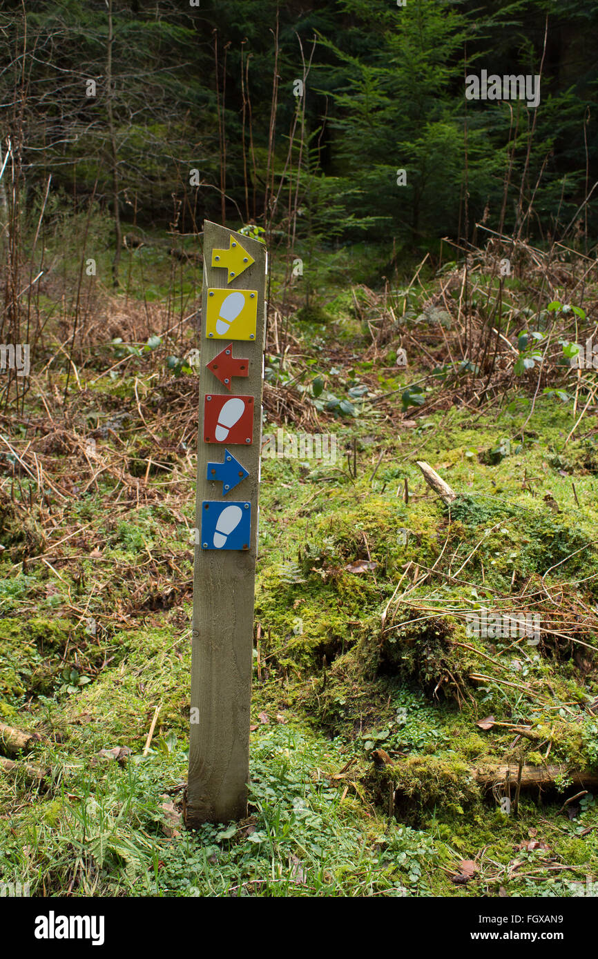 Walking Route Waymarker,Snowdonia Stock Photohttps://www.alamy.com/image-license-details/?v=1https://www.alamy.com/stock-photo-walking-route-waymarkersnowdonia-96465525.html
RFFGXAN9–Walking Route Waymarker,Snowdonia
 Views over the ponds at Erjos from a walking route on the ridge above, Teno, Tenerife, Canary Islands, Spain Stock Photohttps://www.alamy.com/image-license-details/?v=1https://www.alamy.com/views-over-the-ponds-at-erjos-from-a-walking-route-on-the-ridge-above-teno-tenerife-canary-islands-spain-image218393512.html
RMPK8K48–Views over the ponds at Erjos from a walking route on the ridge above, Teno, Tenerife, Canary Islands, Spain
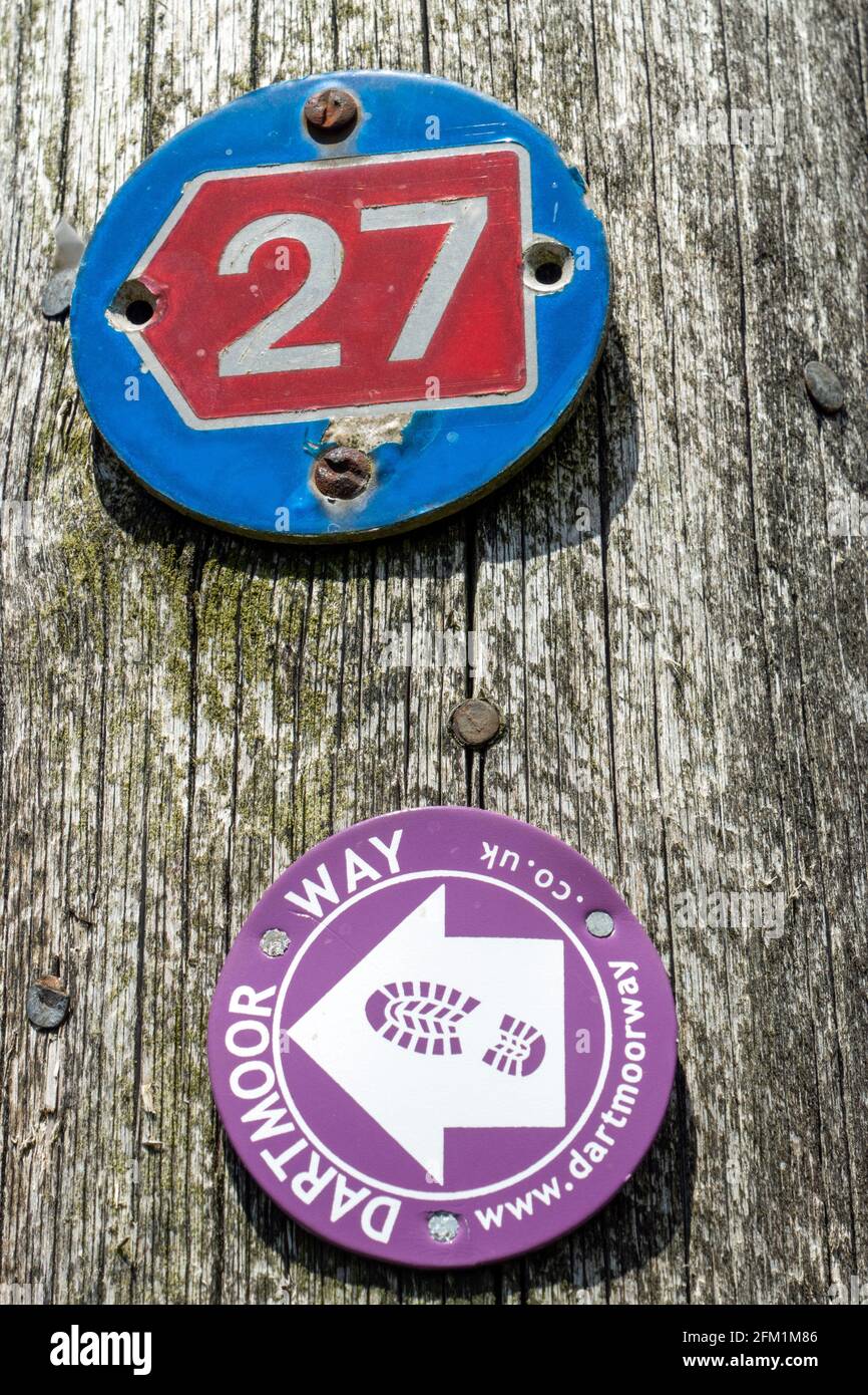 Signs for Sustrans cycle route 27 and Dartmoor Way walking route, Devon Stock Photohttps://www.alamy.com/image-license-details/?v=1https://www.alamy.com/signs-for-sustrans-cycle-route-27-and-dartmoor-way-walking-route-devon-image425379814.html
RM2FM1M86–Signs for Sustrans cycle route 27 and Dartmoor Way walking route, Devon
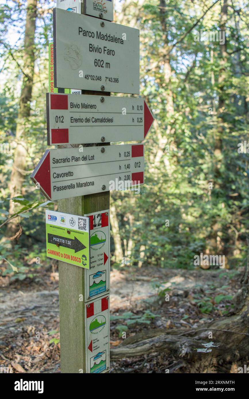 Tourist information in the Turin hill. Walking route in the Parco della Maddalena. Stock Photohttps://www.alamy.com/image-license-details/?v=1https://www.alamy.com/tourist-information-in-the-turin-hill-walking-route-in-the-parco-della-maddalena-image567190193.html
RM2RXNMTH–Tourist information in the Turin hill. Walking route in the Parco della Maddalena.
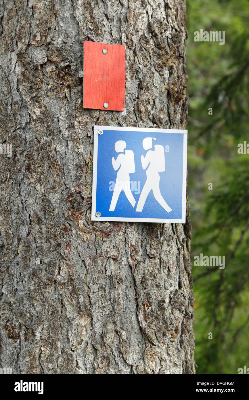 Square blue and white walking route sign representing two hikers fixed to a tree, Finland Stock Photohttps://www.alamy.com/image-license-details/?v=1https://www.alamy.com/stock-photo-square-blue-and-white-walking-route-sign-representing-two-hikers-fixed-58142692.html
RFDAGHGM–Square blue and white walking route sign representing two hikers fixed to a tree, Finland
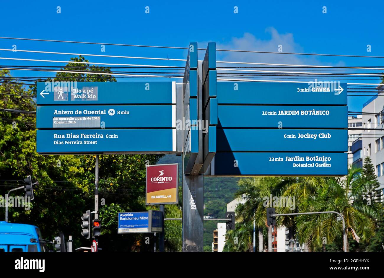 RIO DE JANEIRO, BRAZIL - FEBRUARY 8, 2020: Walking route signs in Gavea neighborhood Stock Photohttps://www.alamy.com/image-license-details/?v=1https://www.alamy.com/rio-de-janeiro-brazil-february-8-2020-walking-route-signs-in-gavea-neighborhood-image444168919.html
RF2GPHHYK–RIO DE JANEIRO, BRAZIL - FEBRUARY 8, 2020: Walking route signs in Gavea neighborhood
 The PR10 SEI walking route between the forest in Serra Da Estrela, Portugal Stock Photohttps://www.alamy.com/image-license-details/?v=1https://www.alamy.com/the-pr10-sei-walking-route-between-the-forest-in-serra-da-estrela-portugal-image388699334.html
RM2DGANY2–The PR10 SEI walking route between the forest in Serra Da Estrela, Portugal
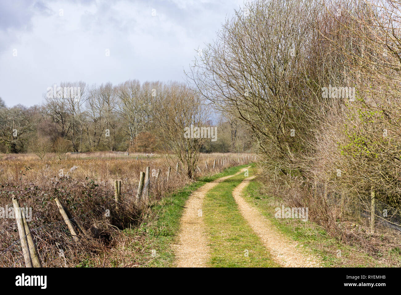 Footpath leading to Stour Valley Way walking route, Dorset, England, United Kingdom Stock Photohttps://www.alamy.com/image-license-details/?v=1https://www.alamy.com/footpath-leading-to-stour-valley-way-walking-route-dorset-england-united-kingdom-image240653991.html
RFRYEMHB–Footpath leading to Stour Valley Way walking route, Dorset, England, United Kingdom
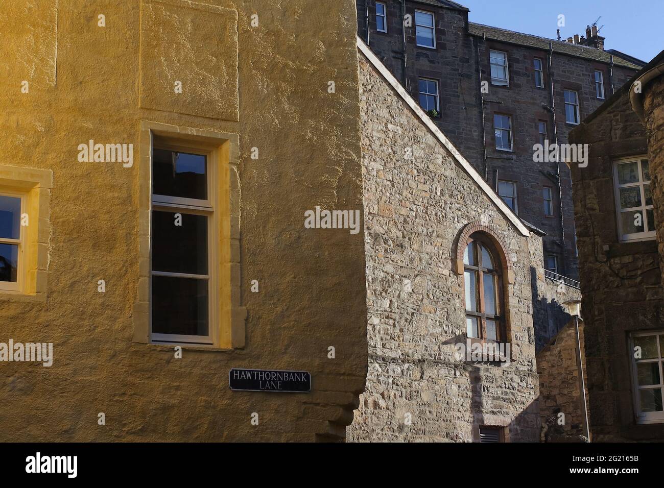 Colors and soft light reflections emphasizing the texture on the walls of the historical buildings along the creek walking route Stock Photohttps://www.alamy.com/image-license-details/?v=1https://www.alamy.com/colors-and-soft-light-reflections-emphasizing-the-texture-on-the-walls-of-the-historical-buildings-along-the-creek-walking-route-image431515319.html
RF2G2165B–Colors and soft light reflections emphasizing the texture on the walls of the historical buildings along the creek walking route
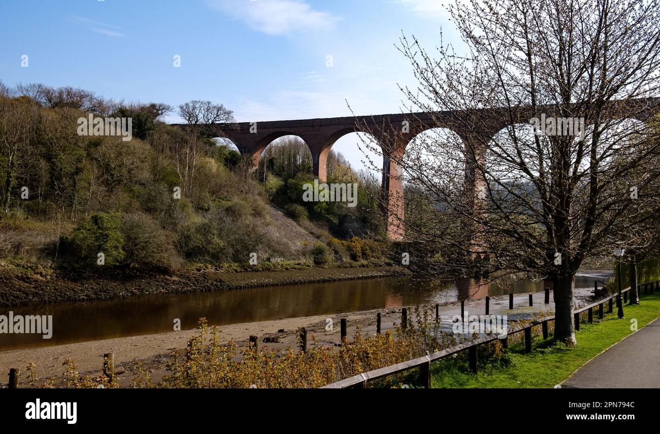 The Larpool Viaduct crossing the river Ask at Whitby. Now the route of the Cinder Path walking route between Whitby and Robin Hoods Bay Stock Photohttps://www.alamy.com/image-license-details/?v=1https://www.alamy.com/the-larpool-viaduct-crossing-the-river-ask-at-whitby-now-the-route-of-the-cinder-path-walking-route-between-whitby-and-robin-hoods-bay-image546590028.html
RM2PN794C–The Larpool Viaduct crossing the river Ask at Whitby. Now the route of the Cinder Path walking route between Whitby and Robin Hoods Bay
 Middlesbrough, UK. The Black Path, a historic walking route footpath through industrial Teesside. Stock Photohttps://www.alamy.com/image-license-details/?v=1https://www.alamy.com/middlesbrough-uk-the-black-path-a-historic-walking-route-footpath-through-industrial-teesside-image606449546.html
RF2X6J4GA–Middlesbrough, UK. The Black Path, a historic walking route footpath through industrial Teesside.
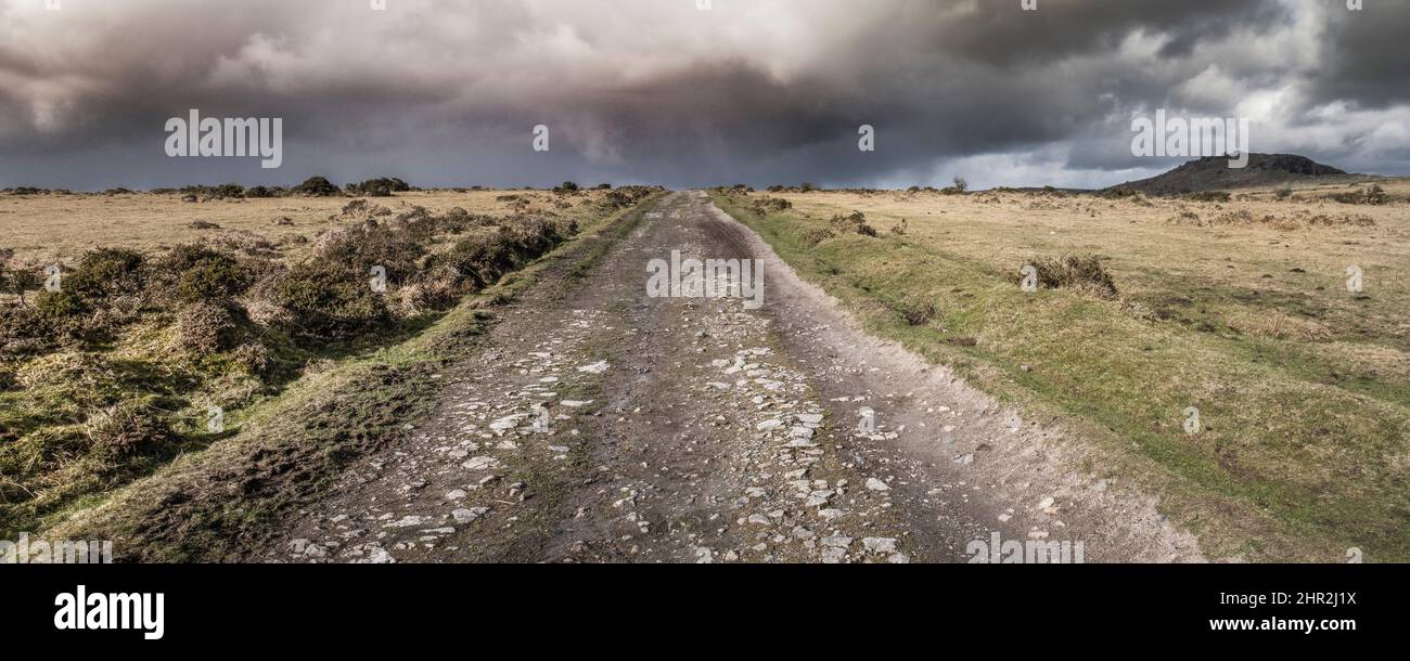 A panoramic image of the remains of a disused railway track now used as a cycle and walking route across Craddock Moor on Bodmin Moor in Cornwall UK. Stock Photohttps://www.alamy.com/image-license-details/?v=1https://www.alamy.com/a-panoramic-image-of-the-remains-of-a-disused-railway-track-now-used-as-a-cycle-and-walking-route-across-craddock-moor-on-bodmin-moor-in-cornwall-uk-image461664726.html
RM2HR2J1X–A panoramic image of the remains of a disused railway track now used as a cycle and walking route across Craddock Moor on Bodmin Moor in Cornwall UK.