Quick filters:
Wannaska map Stock Photos and Images
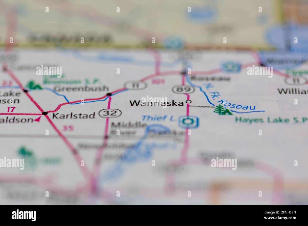 05-17-2021 Portsmouth, Hampshire, UK, Wannaska Minnesota USA shown on a Geography map or road map Stock Photohttps://www.alamy.com/image-license-details/?v=1https://www.alamy.com/05-17-2021-portsmouth-hampshire-uk-wannaska-minnesota-usa-shown-on-a-geography-map-or-road-map-image426334713.html
RM2FNH67N–05-17-2021 Portsmouth, Hampshire, UK, Wannaska Minnesota USA shown on a Geography map or road map
 Wannaska, Roseau County, US, United States, Minnesota, N 48 39' 29'', S 95 44' 4'', map, Cartascapes Map published in 2024. Explore Cartascapes, a map revealing Earth's diverse landscapes, cultures, and ecosystems. Journey through time and space, discovering the interconnectedness of our planet's past, present, and future. Stock Photohttps://www.alamy.com/image-license-details/?v=1https://www.alamy.com/wannaska-roseau-county-us-united-states-minnesota-n-48-39-29-s-95-44-4-map-cartascapes-map-published-in-2024-explore-cartascapes-a-map-revealing-earths-diverse-landscapes-cultures-and-ecosystems-journey-through-time-and-space-discovering-the-interconnectedness-of-our-planets-past-present-and-future-image621389081.html
RM2Y2XM35–Wannaska, Roseau County, US, United States, Minnesota, N 48 39' 29'', S 95 44' 4'', map, Cartascapes Map published in 2024. Explore Cartascapes, a map revealing Earth's diverse landscapes, cultures, and ecosystems. Journey through time and space, discovering the interconnectedness of our planet's past, present, and future.
 USGS TOPO Map MInnesota MN Wannaska 20100818 TM Restoration Stock Photohttps://www.alamy.com/image-license-details/?v=1https://www.alamy.com/usgs-topo-map-minnesota-mn-wannaska-20100818-tm-restoration-image333068693.html
RM2A9TGED–USGS TOPO Map MInnesota MN Wannaska 20100818 TM Restoration
 Wannaska, Minnesota, map 1967, 1:24000, United States of America by Timeless Maps, data U.S. Geological Survey Stock Photohttps://www.alamy.com/image-license-details/?v=1https://www.alamy.com/wannaska-minnesota-map-1967-124000-united-states-of-america-by-timeless-maps-data-us-geological-survey-image406734232.html
RM2EHM9JG–Wannaska, Minnesota, map 1967, 1:24000, United States of America by Timeless Maps, data U.S. Geological Survey
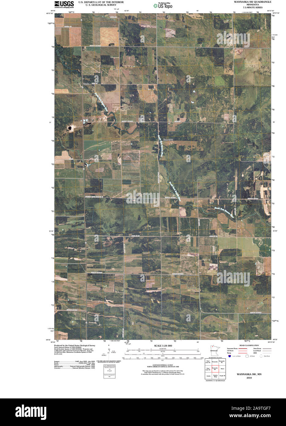 USGS TOPO Map MInnesota MN Wannaska SW 20100818 TM Restoration Stock Photohttps://www.alamy.com/image-license-details/?v=1https://www.alamy.com/usgs-topo-map-minnesota-mn-wannaska-sw-20100818-tm-restoration-image333068715.html
RM2A9TGF7–USGS TOPO Map MInnesota MN Wannaska SW 20100818 TM Restoration
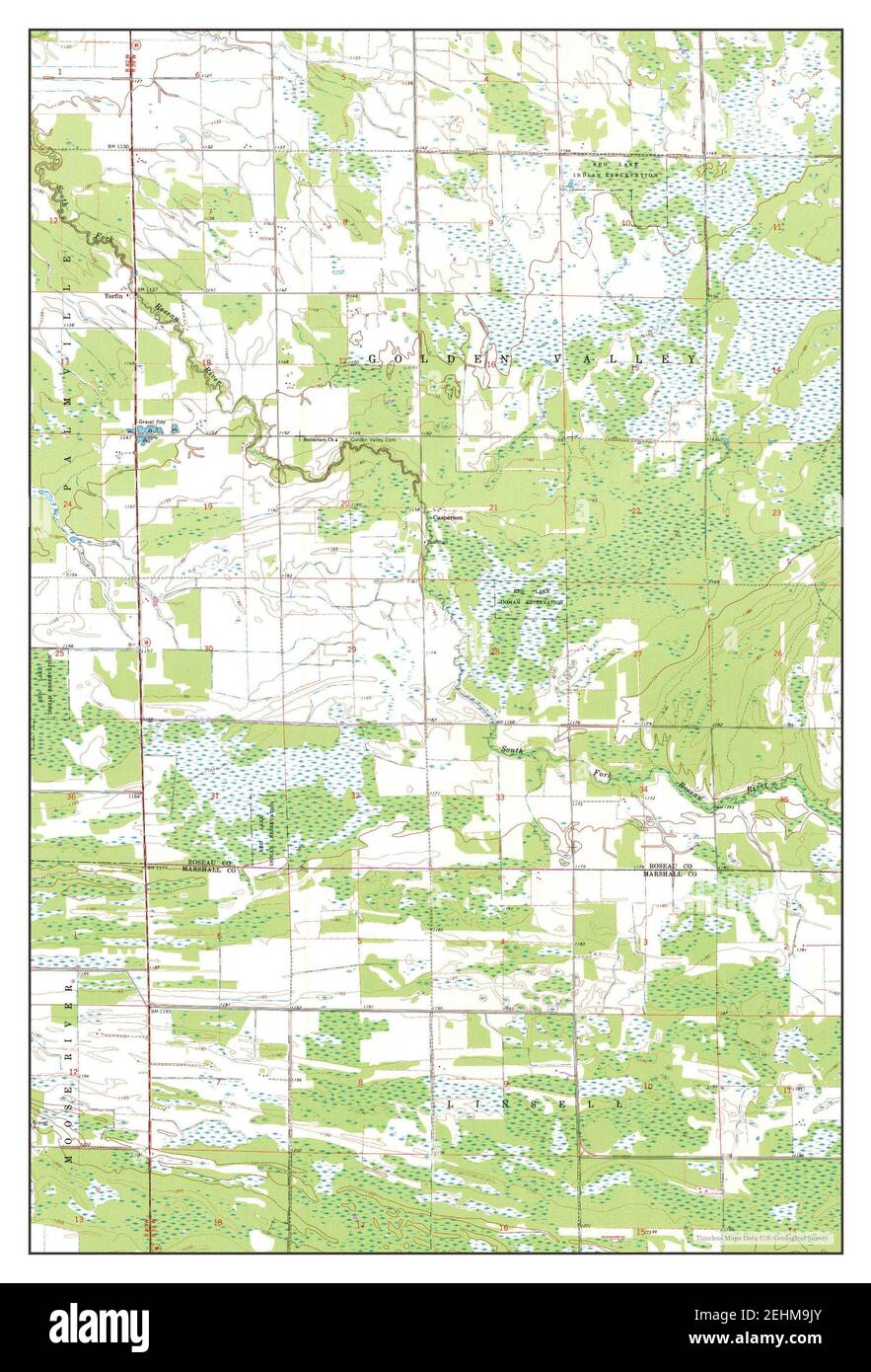 Wannaska SW, Minnesota, map 1968, 1:24000, United States of America by Timeless Maps, data U.S. Geological Survey Stock Photohttps://www.alamy.com/image-license-details/?v=1https://www.alamy.com/wannaska-sw-minnesota-map-1968-124000-united-states-of-america-by-timeless-maps-data-us-geological-survey-image406734243.html
RM2EHM9JY–Wannaska SW, Minnesota, map 1968, 1:24000, United States of America by Timeless Maps, data U.S. Geological Survey
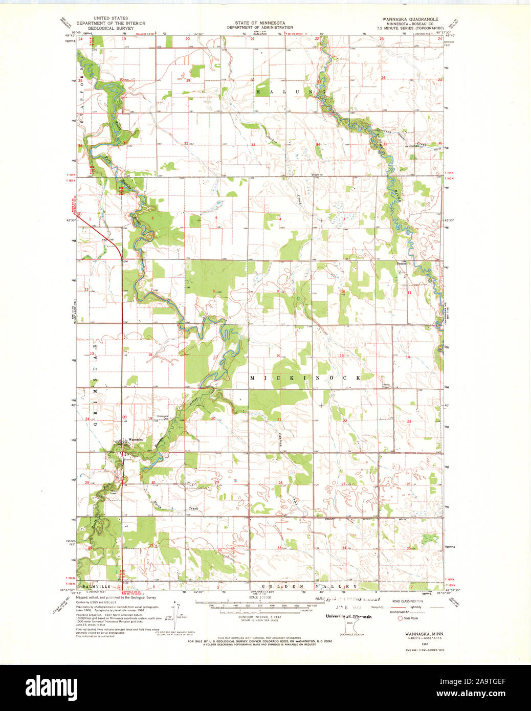 USGS TOPO Map MInnesota MN Wannaska 506117 1967 24000 Restoration Stock Photohttps://www.alamy.com/image-license-details/?v=1https://www.alamy.com/usgs-topo-map-minnesota-mn-wannaska-506117-1967-24000-restoration-image333068695.html
RM2A9TGEF–USGS TOPO Map MInnesota MN Wannaska 506117 1967 24000 Restoration
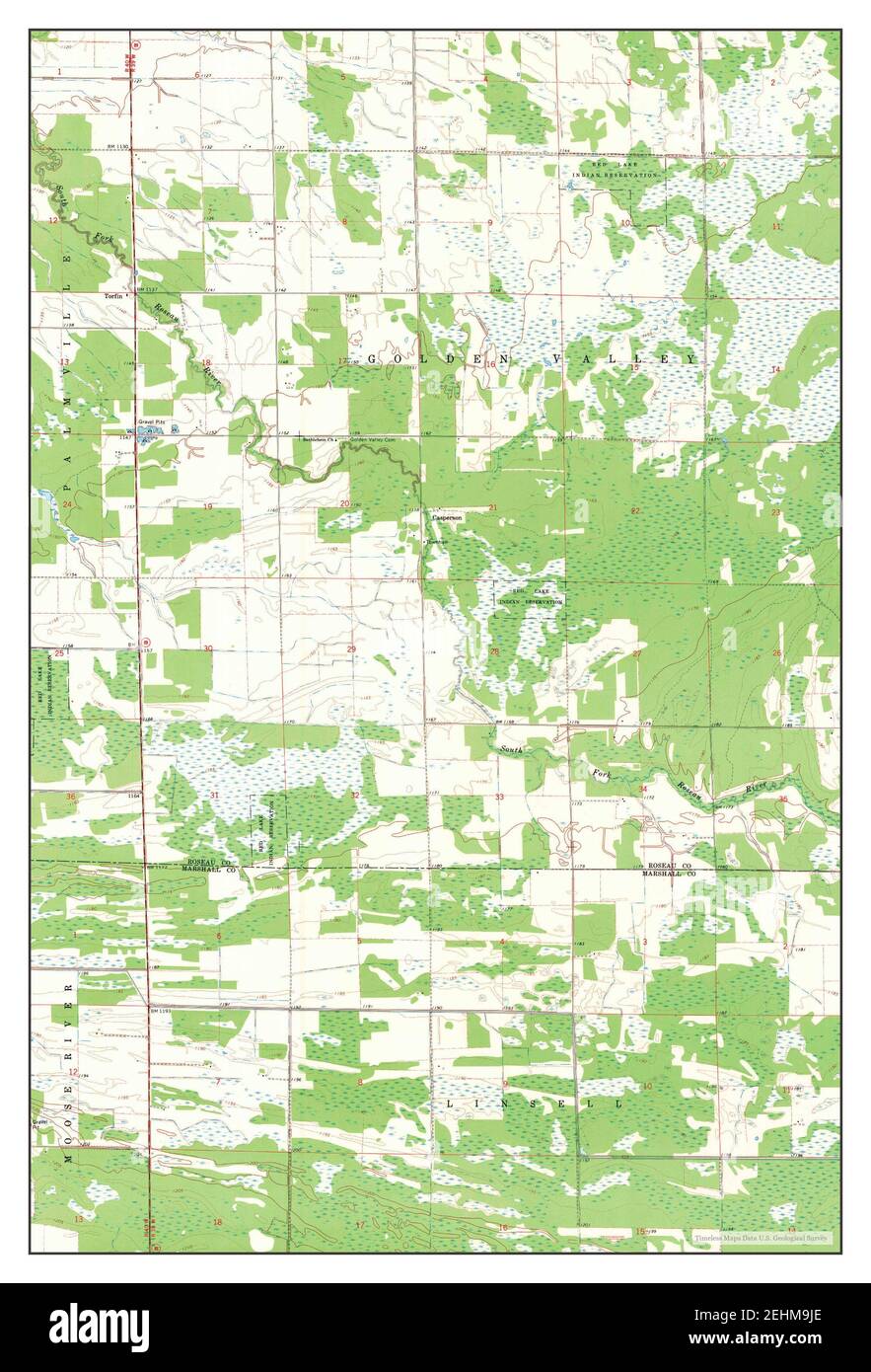 Wannaska SW, Minnesota, map 1968, 1:24000, United States of America by Timeless Maps, data U.S. Geological Survey Stock Photohttps://www.alamy.com/image-license-details/?v=1https://www.alamy.com/wannaska-sw-minnesota-map-1968-124000-united-states-of-america-by-timeless-maps-data-us-geological-survey-image406734230.html
RM2EHM9JE–Wannaska SW, Minnesota, map 1968, 1:24000, United States of America by Timeless Maps, data U.S. Geological Survey
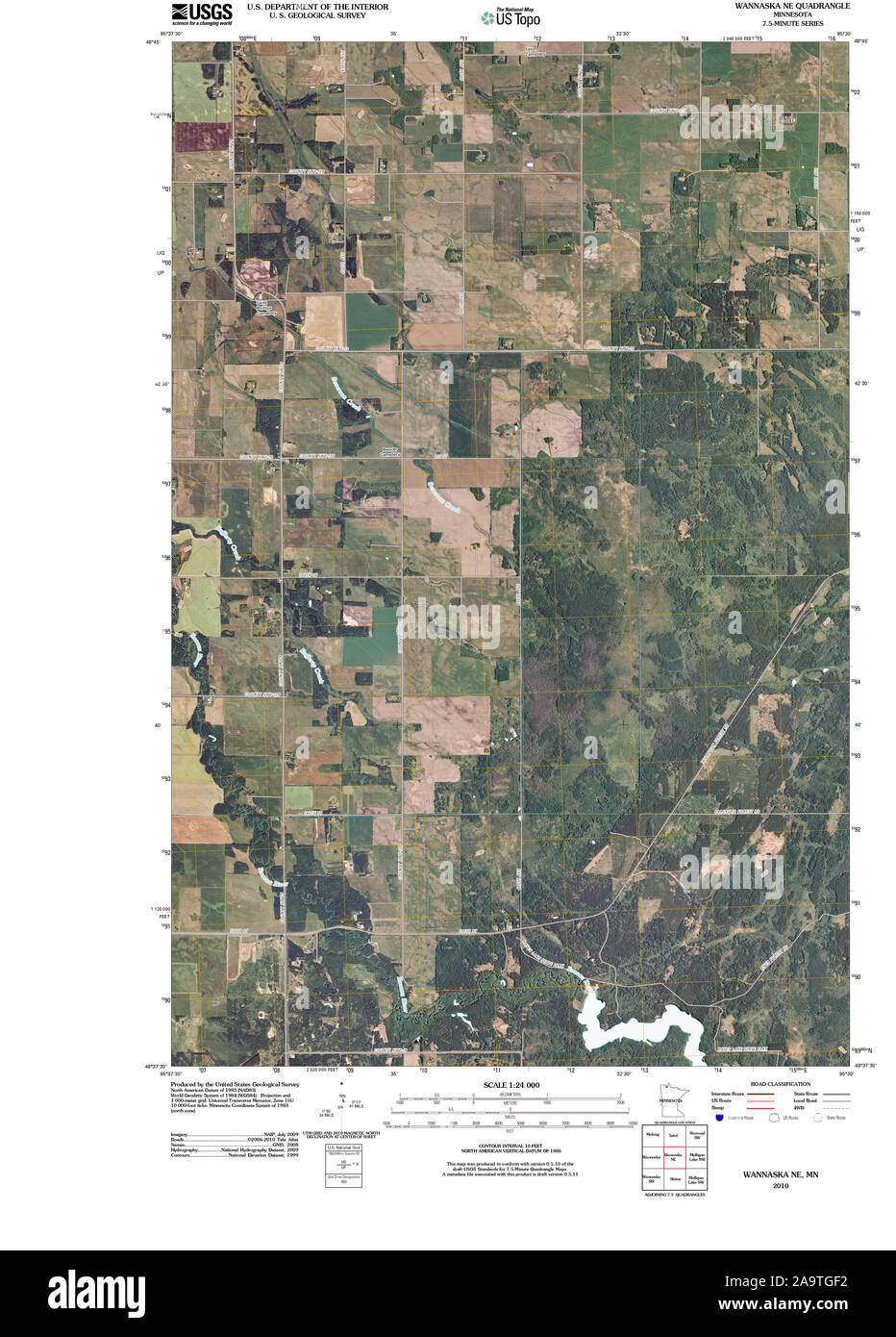 USGS TOPO Map MInnesota MN Wannaska NE 20100914 TM Restoration Stock Photohttps://www.alamy.com/image-license-details/?v=1https://www.alamy.com/usgs-topo-map-minnesota-mn-wannaska-ne-20100914-tm-restoration-image333068710.html
RM2A9TGF2–USGS TOPO Map MInnesota MN Wannaska NE 20100914 TM Restoration
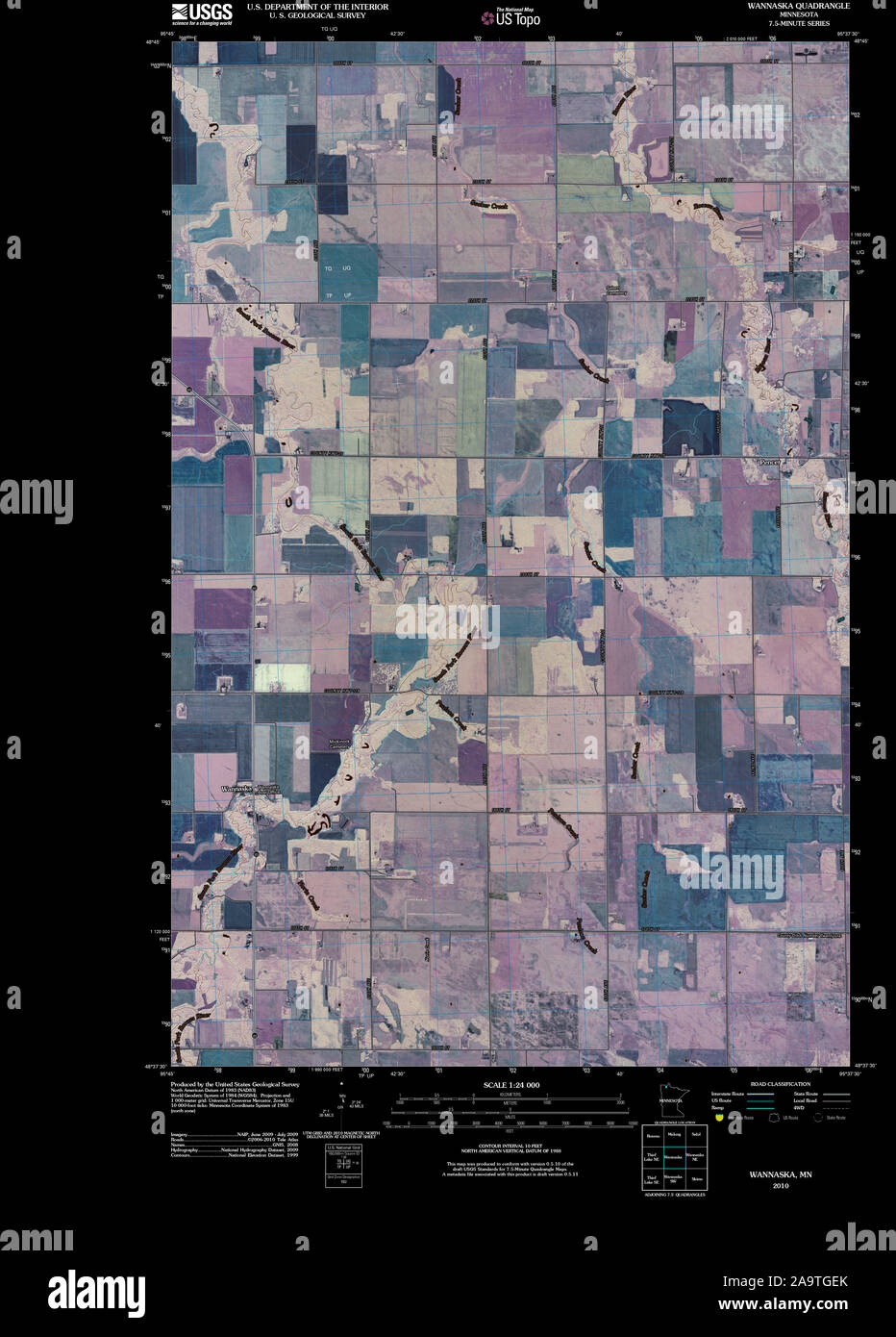 USGS TOPO Map MInnesota MN Wannaska 20100818 TM Inverted Restoration Stock Photohttps://www.alamy.com/image-license-details/?v=1https://www.alamy.com/usgs-topo-map-minnesota-mn-wannaska-20100818-tm-inverted-restoration-image333068699.html
RM2A9TGEK–USGS TOPO Map MInnesota MN Wannaska 20100818 TM Inverted Restoration
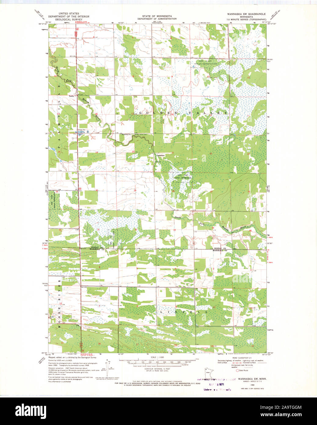 USGS TOPO Map MInnesota MN Wannaska SW 506116 1968 24000 Restoration Stock Photohttps://www.alamy.com/image-license-details/?v=1https://www.alamy.com/usgs-topo-map-minnesota-mn-wannaska-sw-506116-1968-24000-restoration-image333068756.html
RM2A9TGGM–USGS TOPO Map MInnesota MN Wannaska SW 506116 1968 24000 Restoration
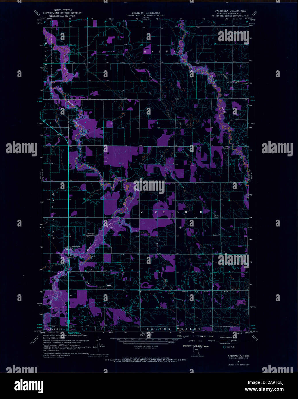 USGS TOPO Map MInnesota MN Wannaska 506117 1967 24000 Inverted Restoration Stock Photohttps://www.alamy.com/image-license-details/?v=1https://www.alamy.com/usgs-topo-map-minnesota-mn-wannaska-506117-1967-24000-inverted-restoration-image333068698.html
RM2A9TGEJ–USGS TOPO Map MInnesota MN Wannaska 506117 1967 24000 Inverted Restoration
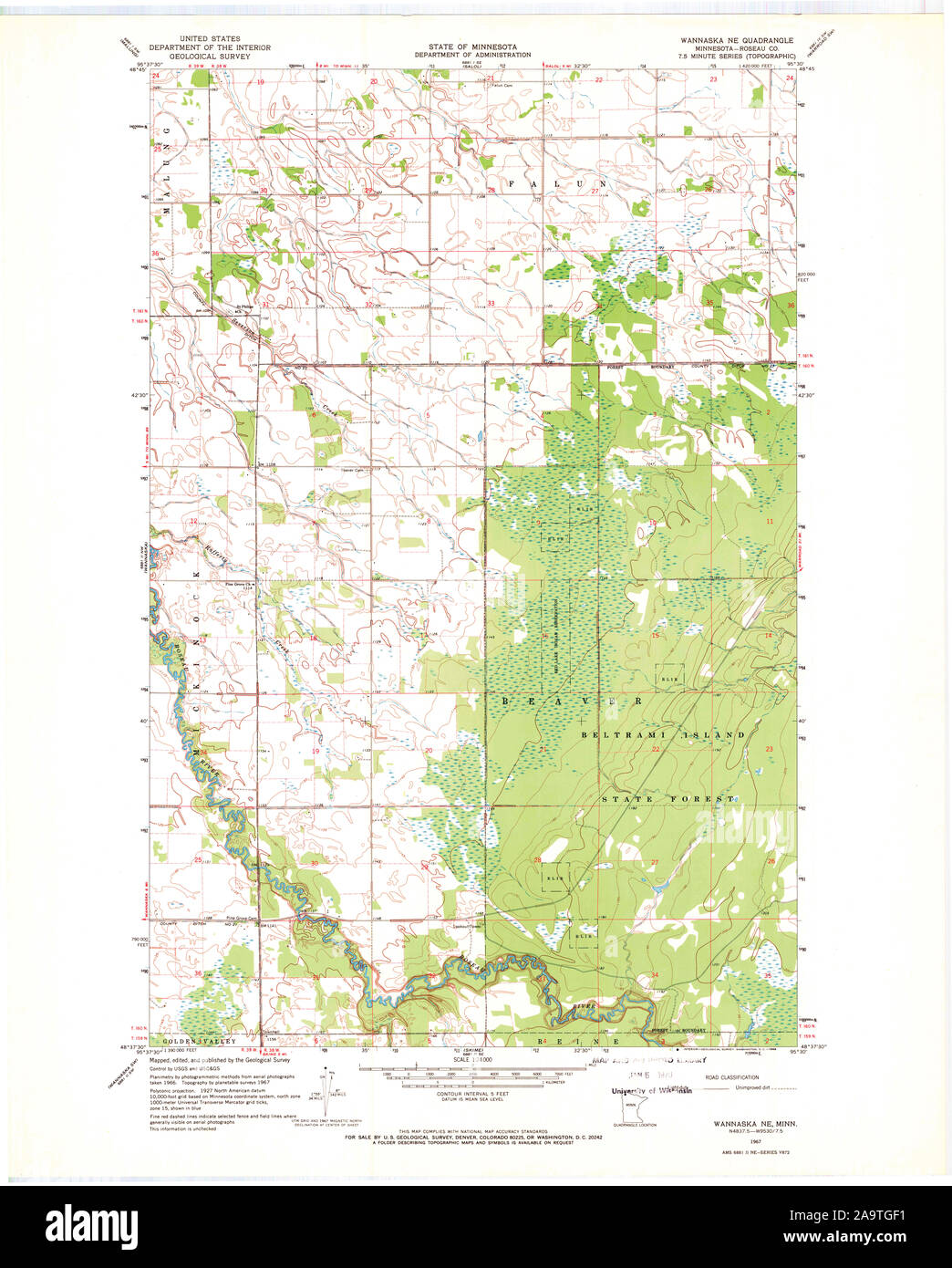 USGS TOPO Map MInnesota MN Wannaska NE 506118 1967 24000 Restoration Stock Photohttps://www.alamy.com/image-license-details/?v=1https://www.alamy.com/usgs-topo-map-minnesota-mn-wannaska-ne-506118-1967-24000-restoration-image333068709.html
RM2A9TGF1–USGS TOPO Map MInnesota MN Wannaska NE 506118 1967 24000 Restoration
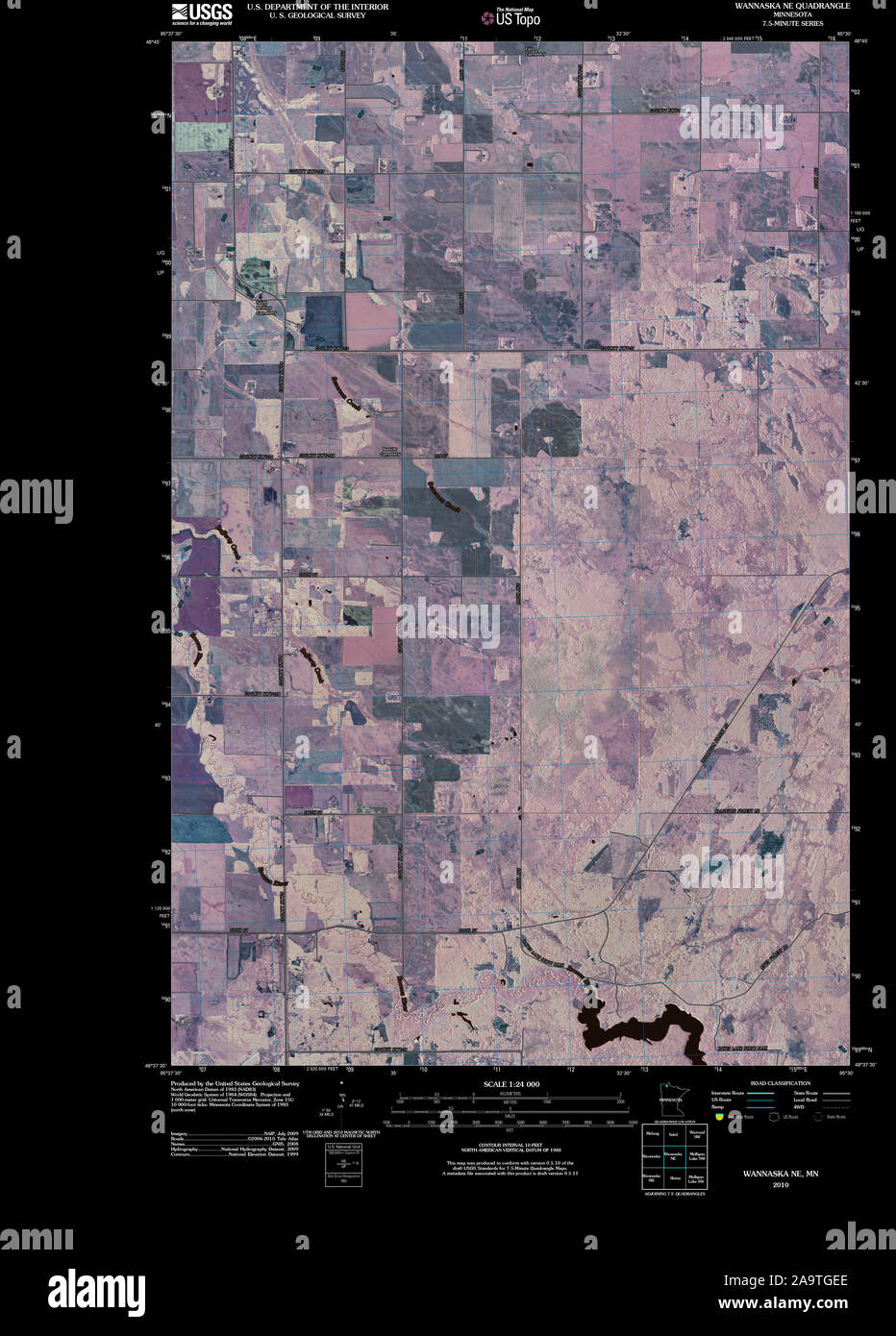 USGS TOPO Map MInnesota MN Wannaska NE 20100914 TM Inverted Restoration Stock Photohttps://www.alamy.com/image-license-details/?v=1https://www.alamy.com/usgs-topo-map-minnesota-mn-wannaska-ne-20100914-tm-inverted-restoration-image333068694.html
RM2A9TGEE–USGS TOPO Map MInnesota MN Wannaska NE 20100914 TM Inverted Restoration
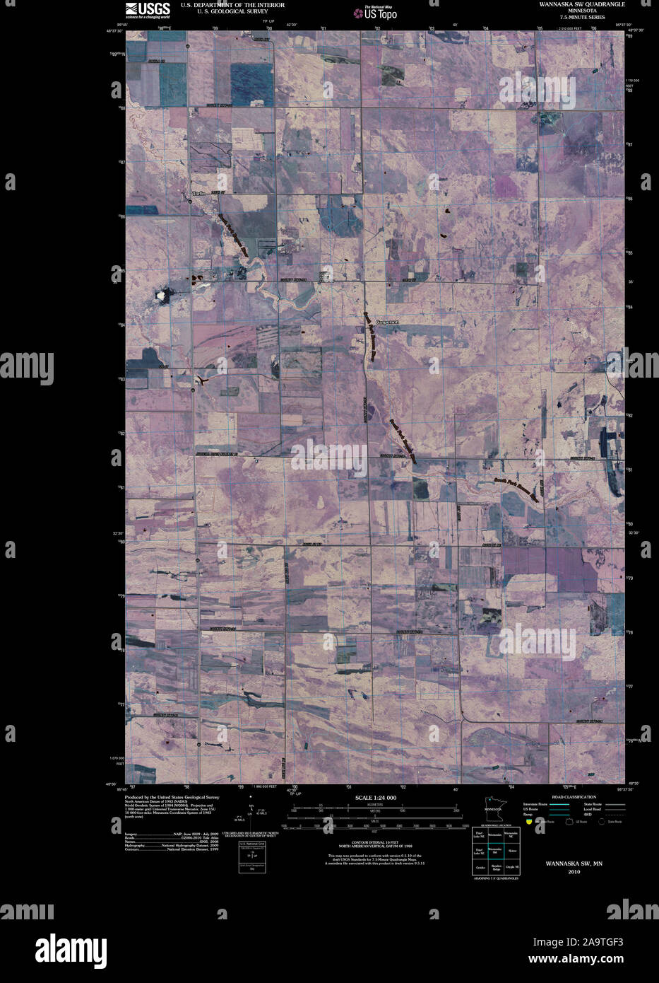 USGS TOPO Map MInnesota MN Wannaska SW 20100818 TM Inverted Restoration Stock Photohttps://www.alamy.com/image-license-details/?v=1https://www.alamy.com/usgs-topo-map-minnesota-mn-wannaska-sw-20100818-tm-inverted-restoration-image333068711.html
RM2A9TGF3–USGS TOPO Map MInnesota MN Wannaska SW 20100818 TM Inverted Restoration
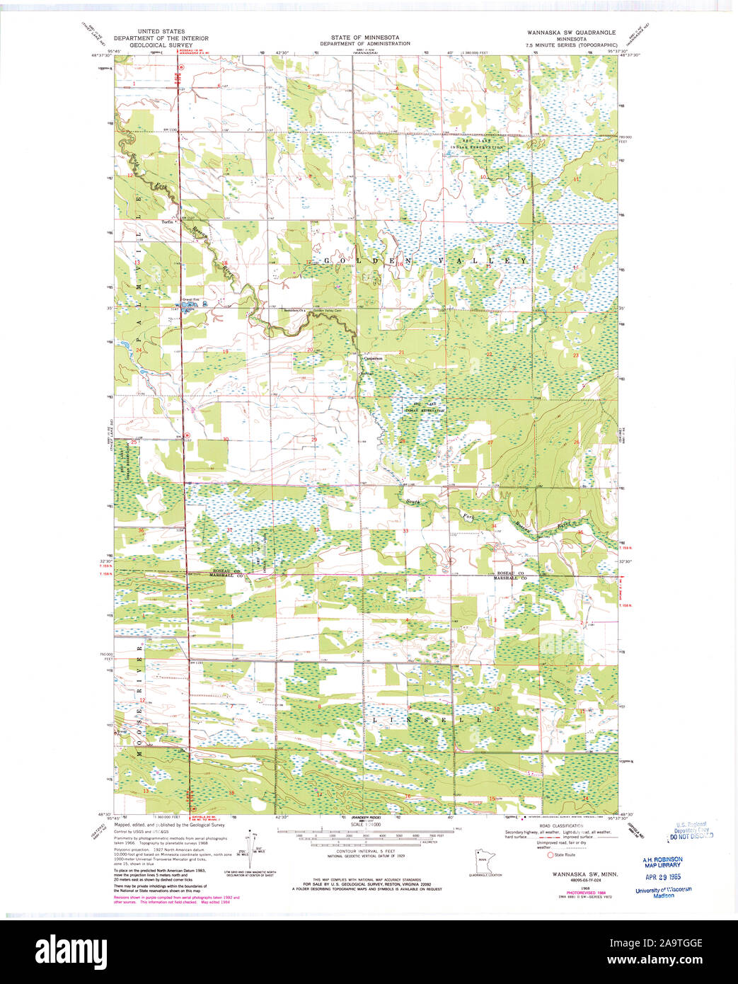 USGS TOPO Map MInnesota MN Wannaska SW 506115 1968 24000 Restoration Stock Photohttps://www.alamy.com/image-license-details/?v=1https://www.alamy.com/usgs-topo-map-minnesota-mn-wannaska-sw-506115-1968-24000-restoration-image333068750.html
RM2A9TGGE–USGS TOPO Map MInnesota MN Wannaska SW 506115 1968 24000 Restoration
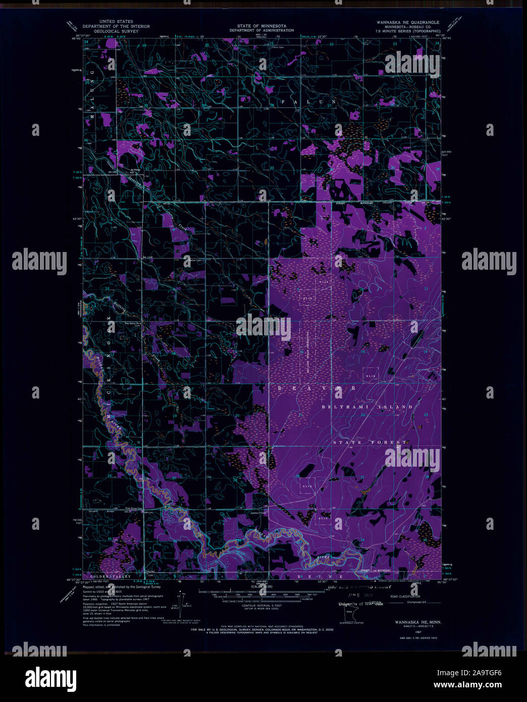 USGS TOPO Map MInnesota MN Wannaska NE 506118 1967 24000 Inverted Restoration Stock Photohttps://www.alamy.com/image-license-details/?v=1https://www.alamy.com/usgs-topo-map-minnesota-mn-wannaska-ne-506118-1967-24000-inverted-restoration-image333068714.html
RM2A9TGF6–USGS TOPO Map MInnesota MN Wannaska NE 506118 1967 24000 Inverted Restoration
 USGS TOPO Map MInnesota MN Wannaska SW 506116 1968 24000 Inverted Restoration Stock Photohttps://www.alamy.com/image-license-details/?v=1https://www.alamy.com/usgs-topo-map-minnesota-mn-wannaska-sw-506116-1968-24000-inverted-restoration-image333068744.html
RM2A9TGG8–USGS TOPO Map MInnesota MN Wannaska SW 506116 1968 24000 Inverted Restoration
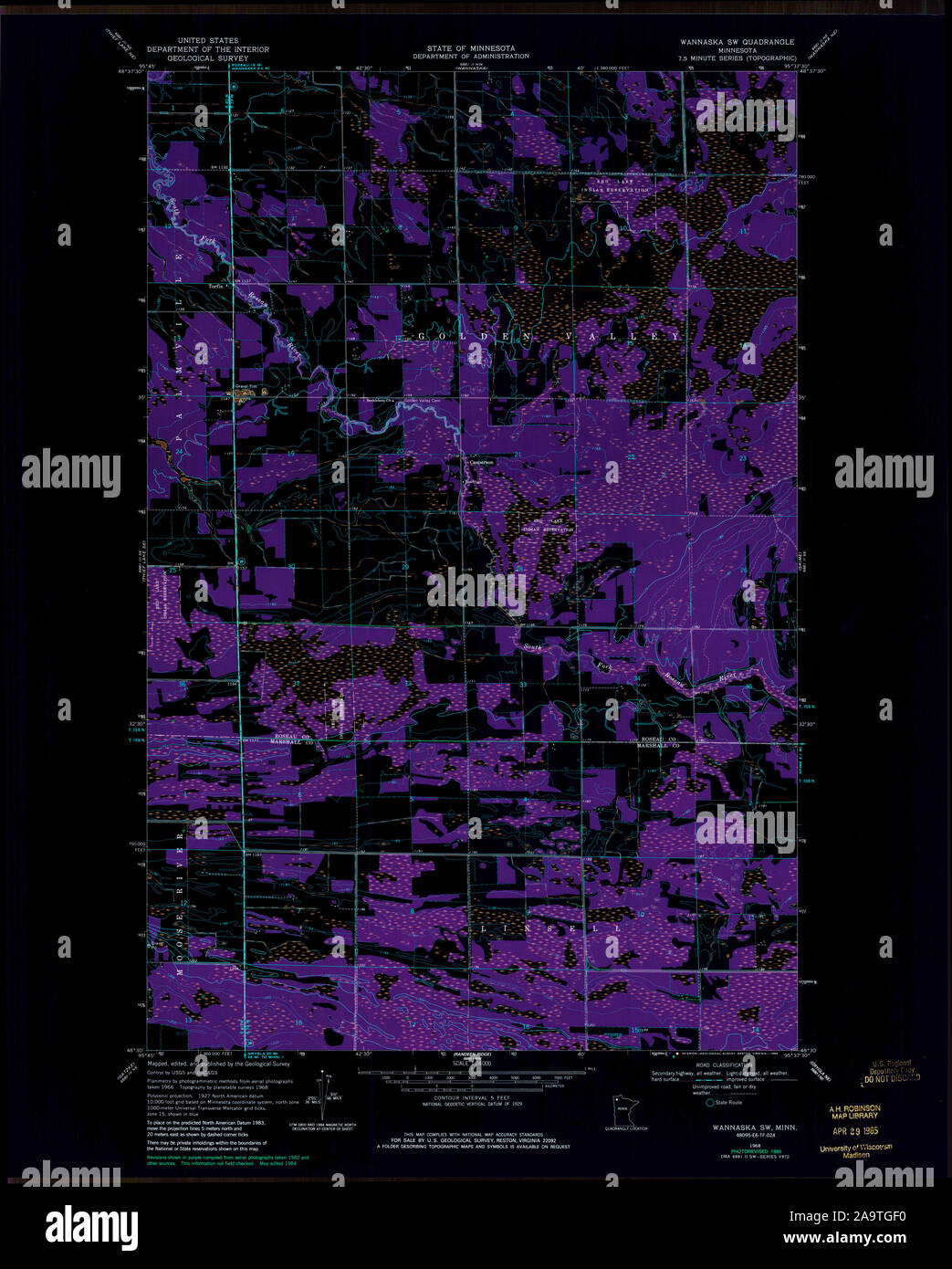 USGS TOPO Map MInnesota MN Wannaska SW 506115 1968 24000 Inverted Restoration Stock Photohttps://www.alamy.com/image-license-details/?v=1https://www.alamy.com/usgs-topo-map-minnesota-mn-wannaska-sw-506115-1968-24000-inverted-restoration-image333068708.html
RM2A9TGF0–USGS TOPO Map MInnesota MN Wannaska SW 506115 1968 24000 Inverted Restoration