Sort by
Washburn north dakota map Stock Photos and Images
(43)See washburn north dakota map stock video clipsQuick filters:
Washburn north dakota map Stock Photos and Images
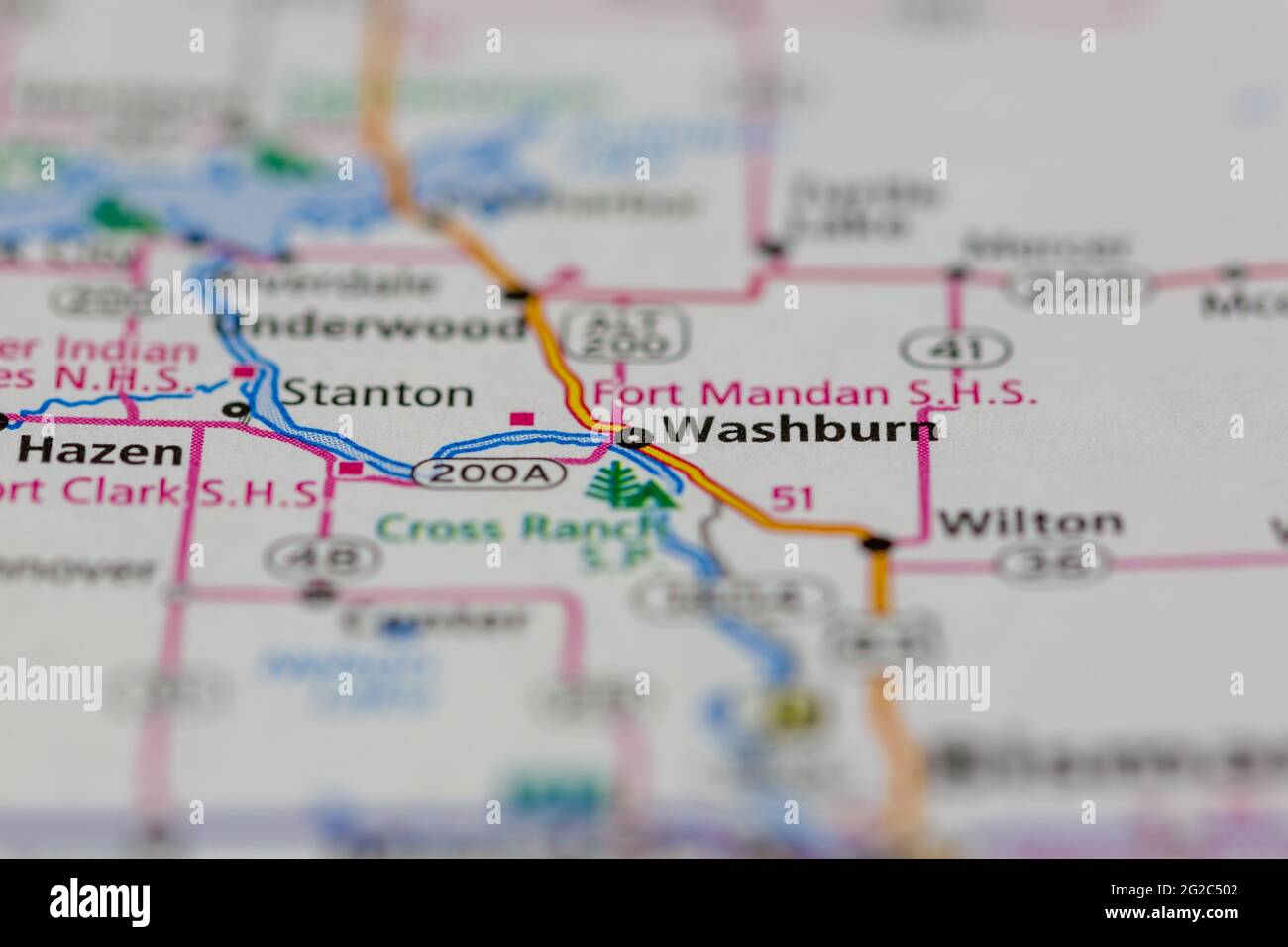 Washburn North Dakota USA shown of a Road map or Geography map Stock Photohttps://www.alamy.com/image-license-details/?v=1https://www.alamy.com/washburn-north-dakota-usa-shown-of-a-road-map-or-geography-map-image431755858.html
RM2G2C502–Washburn North Dakota USA shown of a Road map or Geography map
 Washburn pinned on a map of North Dakota, USA Stock Photohttps://www.alamy.com/image-license-details/?v=1https://www.alamy.com/washburn-pinned-on-a-map-of-north-dakota-usa-image359838206.html
RF2BWC18E–Washburn pinned on a map of North Dakota, USA
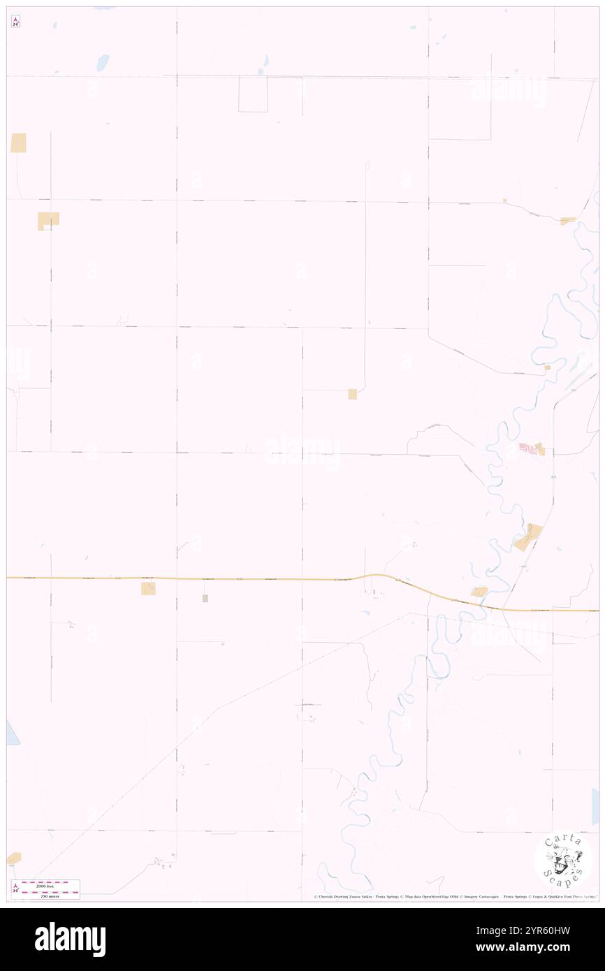 Township of Washburn, Griggs County, US, United States, North Dakota, N 47 27' 23'', S 98 2' 57'', map, Cartascapes Map published in 2024. Explore Cartascapes, a map revealing Earth's diverse landscapes, cultures, and ecosystems. Journey through time and space, discovering the interconnectedness of our planet's past, present, and future. Stock Photohttps://www.alamy.com/image-license-details/?v=1https://www.alamy.com/township-of-washburn-griggs-county-us-united-states-north-dakota-n-47-27-23-s-98-2-57-map-cartascapes-map-published-in-2024-explore-cartascapes-a-map-revealing-earths-diverse-landscapes-cultures-and-ecosystems-journey-through-time-and-space-discovering-the-interconnectedness-of-our-planets-past-present-and-future-image633842549.html
RM2YR60HW–Township of Washburn, Griggs County, US, United States, North Dakota, N 47 27' 23'', S 98 2' 57'', map, Cartascapes Map published in 2024. Explore Cartascapes, a map revealing Earth's diverse landscapes, cultures, and ecosystems. Journey through time and space, discovering the interconnectedness of our planet's past, present, and future.
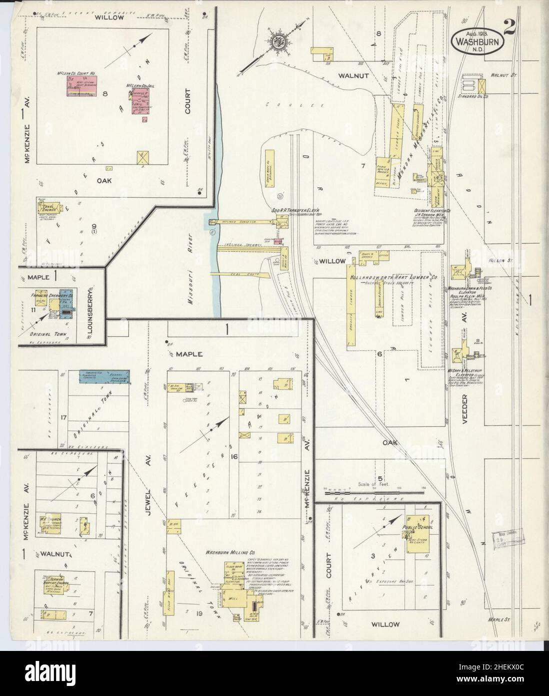 Sanborn Fire Insurance Map from Washburn, Mclean County, North Dakota. Stock Photohttps://www.alamy.com/image-license-details/?v=1https://www.alamy.com/sanborn-fire-insurance-map-from-washburn-mclean-county-north-dakota-image456512236.html
RM2HEKX0C–Sanborn Fire Insurance Map from Washburn, Mclean County, North Dakota.
 Minnesota, North and South Dakota and Montana gazetteer and business directory . UpliolslerersDenovalors Mattress Makers Manufacturers of The IDEAL DRE.5S BOX AND SEATWrite for BooKlet and Prices Upholstered Furnilurc, Mattresses, Draper-ies, Window Shades, Carpet CleaningEtc. Both Telephones. Woven out of old Ingrainor Brussel Carpets.Write for Prices, Etc. Most Complete Plant in the Northwest 16 East Sixth Street Saint Paul, • Minnesota UNDS IMmWk T^-^-, meadow and P.ow..nds W. D. WASHBURN, Jr., 302 Guaranty BIdg., MINNEAPOLIS. Itasca, Aitkin, Cass and NorthernCounties. Free Map of Minnesota Stock Photohttps://www.alamy.com/image-license-details/?v=1https://www.alamy.com/minnesota-north-and-south-dakota-and-montana-gazetteer-and-business-directory-upliolslerersdenovalors-mattress-makers-manufacturers-of-the-ideal-dre5s-box-and-seatwrite-for-booklet-and-prices-upholstered-furnilurc-mattresses-draper-ies-window-shades-carpet-cleaningetc-both-telephones-woven-out-of-old-ingrainor-brussel-carpetswrite-for-prices-etc-most-complete-plant-in-the-northwest-16-east-sixth-street-saint-paul-minnesota-unds-immwk-t-meadow-and-pownds-w-d-washburn-jr-302-guaranty-bidg-minneapolis-itasca-aitkin-cass-and-northerncounties-free-map-of-minnesota-image340259552.html
RM2ANG4ET–Minnesota, North and South Dakota and Montana gazetteer and business directory . UpliolslerersDenovalors Mattress Makers Manufacturers of The IDEAL DRE.5S BOX AND SEATWrite for BooKlet and Prices Upholstered Furnilurc, Mattresses, Draper-ies, Window Shades, Carpet CleaningEtc. Both Telephones. Woven out of old Ingrainor Brussel Carpets.Write for Prices, Etc. Most Complete Plant in the Northwest 16 East Sixth Street Saint Paul, • Minnesota UNDS IMmWk T^-^-, meadow and P.ow..nds W. D. WASHBURN, Jr., 302 Guaranty BIdg., MINNEAPOLIS. Itasca, Aitkin, Cass and NorthernCounties. Free Map of Minnesota
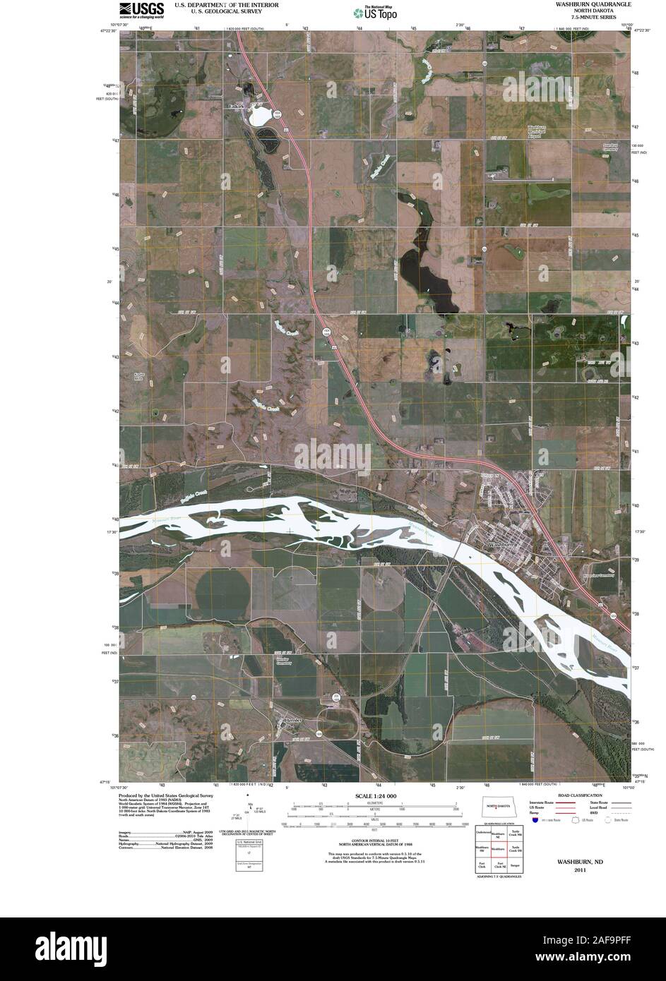 USGS TOPO Map North Dakota ND Washburn 20110330 TM Restoration Stock Photohttps://www.alamy.com/image-license-details/?v=1https://www.alamy.com/usgs-topo-map-north-dakota-nd-washburn-20110330-tm-restoration-image336432083.html
RM2AF9PFF–USGS TOPO Map North Dakota ND Washburn 20110330 TM Restoration
 McLean County, North Dakota State (U.S. county, United States of America, USA, U.S., US) map vector illustration, scribble sketch McLean map Stock Vectorhttps://www.alamy.com/image-license-details/?v=1https://www.alamy.com/mclean-county-north-dakota-state-us-county-united-states-of-america-usa-us-us-map-vector-illustration-scribble-sketch-mclean-map-image385246230.html
RF2DANDDX–McLean County, North Dakota State (U.S. county, United States of America, USA, U.S., US) map vector illustration, scribble sketch McLean map
 Washburn, McLean County, US, United States, North Dakota, N 47 17' 20'', S 101 1' 44'', map, Cartascapes Map published in 2024. Explore Cartascapes, a map revealing Earth's diverse landscapes, cultures, and ecosystems. Journey through time and space, discovering the interconnectedness of our planet's past, present, and future. Stock Photohttps://www.alamy.com/image-license-details/?v=1https://www.alamy.com/washburn-mclean-county-us-united-states-north-dakota-n-47-17-20-s-101-1-44-map-cartascapes-map-published-in-2024-explore-cartascapes-a-map-revealing-earths-diverse-landscapes-cultures-and-ecosystems-journey-through-time-and-space-discovering-the-interconnectedness-of-our-planets-past-present-and-future-image620783174.html
RM2Y1Y37J–Washburn, McLean County, US, United States, North Dakota, N 47 17' 20'', S 101 1' 44'', map, Cartascapes Map published in 2024. Explore Cartascapes, a map revealing Earth's diverse landscapes, cultures, and ecosystems. Journey through time and space, discovering the interconnectedness of our planet's past, present, and future.
 Sanborn Fire Insurance Map from Washburn, Mclean County, North Dakota. Stock Photohttps://www.alamy.com/image-license-details/?v=1https://www.alamy.com/sanborn-fire-insurance-map-from-washburn-mclean-county-north-dakota-image456512230.html
RM2HEKX06–Sanborn Fire Insurance Map from Washburn, Mclean County, North Dakota.
 USGS TOPO Map North Dakota ND Washburn 285402 1949 62500 Restoration Stock Photohttps://www.alamy.com/image-license-details/?v=1https://www.alamy.com/usgs-topo-map-north-dakota-nd-washburn-285402-1949-62500-restoration-image336432108.html
RM2AF9PGC–USGS TOPO Map North Dakota ND Washburn 285402 1949 62500 Restoration
 McLean County, North Dakota State (U.S. county, United States of America, USA, U.S., US) map vector illustration, scribble sketch McLean map Stock Vectorhttps://www.alamy.com/image-license-details/?v=1https://www.alamy.com/mclean-county-north-dakota-state-us-county-united-states-of-america-usa-us-us-map-vector-illustration-scribble-sketch-mclean-map-image402292253.html
RF2EADYTD–McLean County, North Dakota State (U.S. county, United States of America, USA, U.S., US) map vector illustration, scribble sketch McLean map
 Washburn, McLean County, US, United States, North Dakota, N 47 17' 20'', S 101 1' 44'', map, Cartascapes Map published in 2024. Explore Cartascapes, a map revealing Earth's diverse landscapes, cultures, and ecosystems. Journey through time and space, discovering the interconnectedness of our planet's past, present, and future. Stock Photohttps://www.alamy.com/image-license-details/?v=1https://www.alamy.com/washburn-mclean-county-us-united-states-north-dakota-n-47-17-20-s-101-1-44-map-cartascapes-map-published-in-2024-explore-cartascapes-a-map-revealing-earths-diverse-landscapes-cultures-and-ecosystems-journey-through-time-and-space-discovering-the-interconnectedness-of-our-planets-past-present-and-future-image620725888.html
RM2Y1TE5M–Washburn, McLean County, US, United States, North Dakota, N 47 17' 20'', S 101 1' 44'', map, Cartascapes Map published in 2024. Explore Cartascapes, a map revealing Earth's diverse landscapes, cultures, and ecosystems. Journey through time and space, discovering the interconnectedness of our planet's past, present, and future.
 Sanborn Fire Insurance Map from Washburn, Mclean County, North Dakota. Stock Photohttps://www.alamy.com/image-license-details/?v=1https://www.alamy.com/sanborn-fire-insurance-map-from-washburn-mclean-county-north-dakota-image456512172.html
RM2HEKWX4–Sanborn Fire Insurance Map from Washburn, Mclean County, North Dakota.
 USGS TOPO Map North Dakota ND Washburn 285401 1949 62500 Restoration Stock Photohttps://www.alamy.com/image-license-details/?v=1https://www.alamy.com/usgs-topo-map-north-dakota-nd-washburn-285401-1949-62500-restoration-image336432113.html
RM2AF9PGH–USGS TOPO Map North Dakota ND Washburn 285401 1949 62500 Restoration
 McLean County, North Dakota State (U.S. county, United States of America, USA, U.S., US) map vector illustration, scribble sketch McLean map Stock Vectorhttps://www.alamy.com/image-license-details/?v=1https://www.alamy.com/mclean-county-north-dakota-state-us-county-united-states-of-america-usa-us-us-map-vector-illustration-scribble-sketch-mclean-map-image408280229.html
RF2EM6NGN–McLean County, North Dakota State (U.S. county, United States of America, USA, U.S., US) map vector illustration, scribble sketch McLean map
 City of Washburn, McLean County, US, United States, North Dakota, N 47 17' 33'', S 101 1' 38'', map, Cartascapes Map published in 2024. Explore Cartascapes, a map revealing Earth's diverse landscapes, cultures, and ecosystems. Journey through time and space, discovering the interconnectedness of our planet's past, present, and future. Stock Photohttps://www.alamy.com/image-license-details/?v=1https://www.alamy.com/city-of-washburn-mclean-county-us-united-states-north-dakota-n-47-17-33-s-101-1-38-map-cartascapes-map-published-in-2024-explore-cartascapes-a-map-revealing-earths-diverse-landscapes-cultures-and-ecosystems-journey-through-time-and-space-discovering-the-interconnectedness-of-our-planets-past-present-and-future-image633851221.html
RM2YR6BKH–City of Washburn, McLean County, US, United States, North Dakota, N 47 17' 33'', S 101 1' 38'', map, Cartascapes Map published in 2024. Explore Cartascapes, a map revealing Earth's diverse landscapes, cultures, and ecosystems. Journey through time and space, discovering the interconnectedness of our planet's past, present, and future.
 Sanborn Fire Insurance Map from Washburn, Mclean County, North Dakota. Stock Photohttps://www.alamy.com/image-license-details/?v=1https://www.alamy.com/sanborn-fire-insurance-map-from-washburn-mclean-county-north-dakota-image456512167.html
RM2HEKWWY–Sanborn Fire Insurance Map from Washburn, Mclean County, North Dakota.
 USGS TOPO Map North Dakota ND Washburn 20110330 TM Inverted Restoration Stock Photohttps://www.alamy.com/image-license-details/?v=1https://www.alamy.com/usgs-topo-map-north-dakota-nd-washburn-20110330-tm-inverted-restoration-image336432060.html
RM2AF9PEM–USGS TOPO Map North Dakota ND Washburn 20110330 TM Inverted Restoration
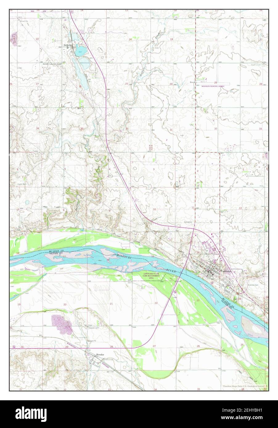 Washburn, North Dakota, map 1961, 1:24000, United States of America by Timeless Maps, data U.S. Geological Survey Stock Photohttps://www.alamy.com/image-license-details/?v=1https://www.alamy.com/washburn-north-dakota-map-1961-124000-united-states-of-america-by-timeless-maps-data-us-geological-survey-image406889421.html
RM2EHYBH1–Washburn, North Dakota, map 1961, 1:24000, United States of America by Timeless Maps, data U.S. Geological Survey
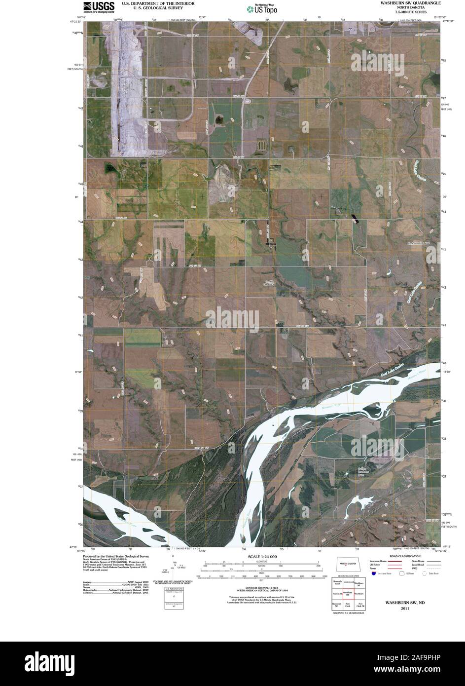 USGS TOPO Map North Dakota ND Washburn SW 20110330 TM Restoration Stock Photohttps://www.alamy.com/image-license-details/?v=1https://www.alamy.com/usgs-topo-map-north-dakota-nd-washburn-sw-20110330-tm-restoration-image336432146.html
RM2AF9PHP–USGS TOPO Map North Dakota ND Washburn SW 20110330 TM Restoration
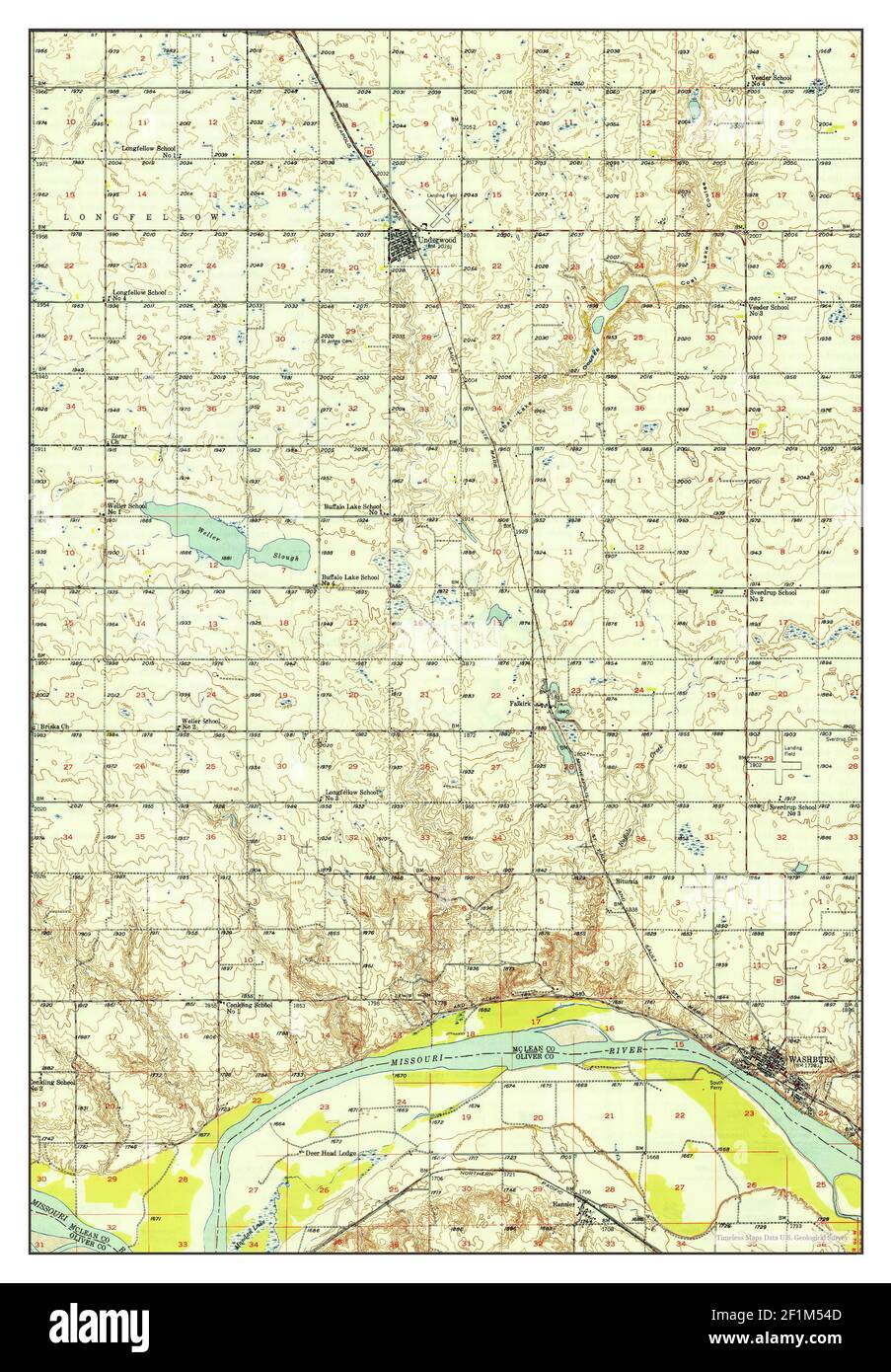 Washburn, North Dakota, map 1949, 1:62500, United States of America by Timeless Maps, data U.S. Geological Survey Stock Photohttps://www.alamy.com/image-license-details/?v=1https://www.alamy.com/washburn-north-dakota-map-1949-162500-united-states-of-america-by-timeless-maps-data-us-geological-survey-image414106573.html
RM2F1M54D–Washburn, North Dakota, map 1949, 1:62500, United States of America by Timeless Maps, data U.S. Geological Survey
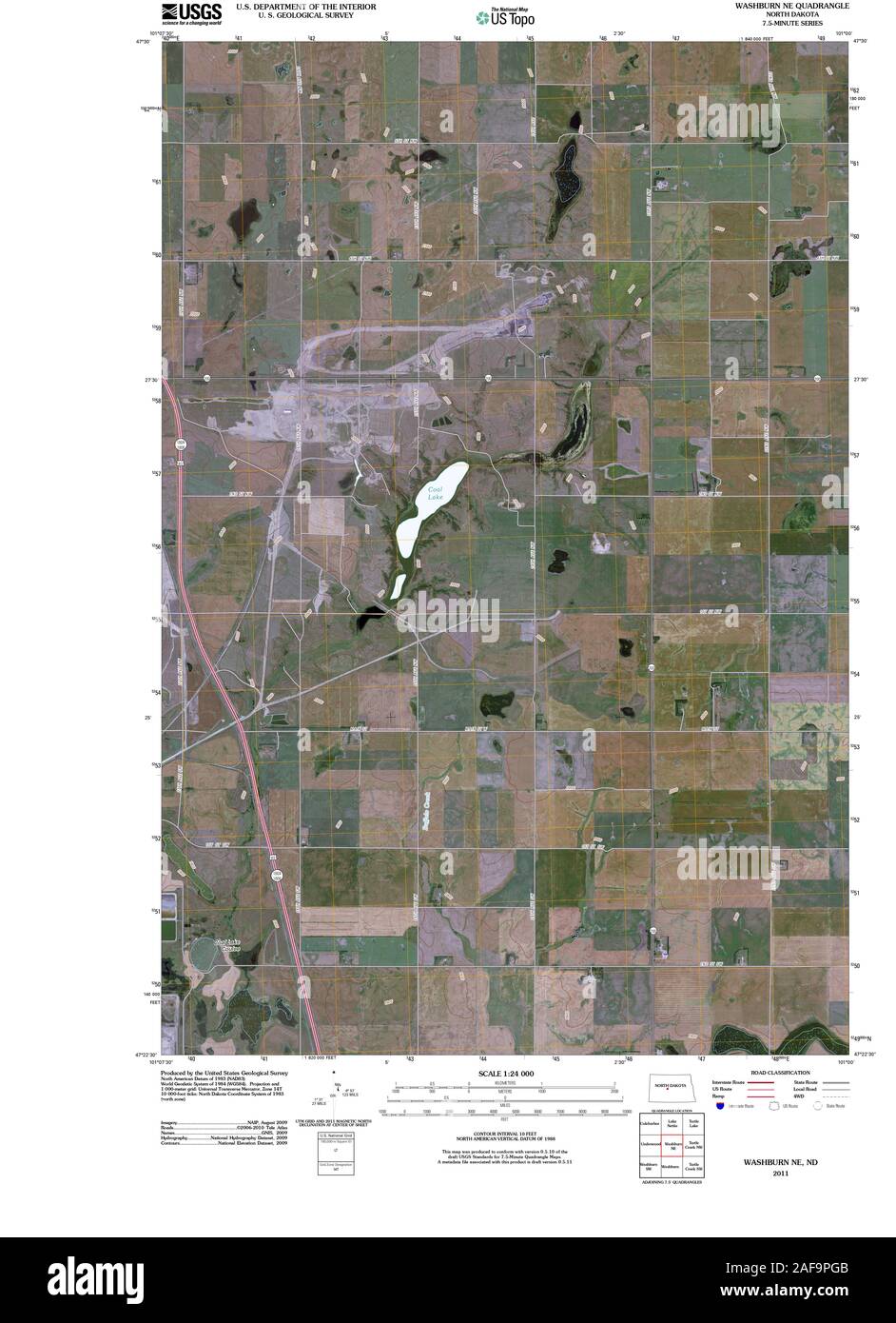 USGS TOPO Map North Dakota ND Washburn NE 20110330 TM Restoration Stock Photohttps://www.alamy.com/image-license-details/?v=1https://www.alamy.com/usgs-topo-map-north-dakota-nd-washburn-ne-20110330-tm-restoration-image336432107.html
RM2AF9PGB–USGS TOPO Map North Dakota ND Washburn NE 20110330 TM Restoration
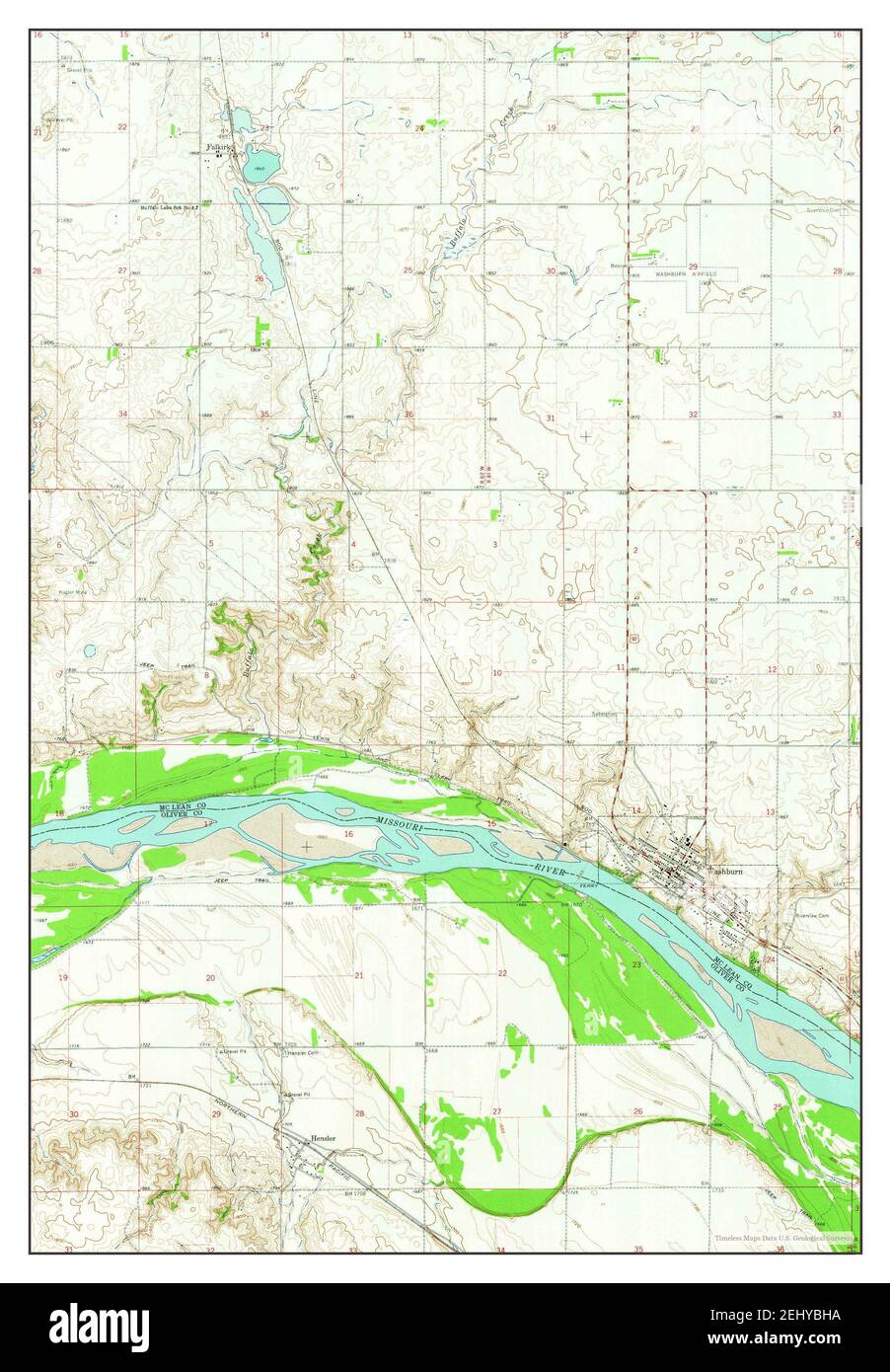 Washburn, North Dakota, map 1961, 1:24000, United States of America by Timeless Maps, data U.S. Geological Survey Stock Photohttps://www.alamy.com/image-license-details/?v=1https://www.alamy.com/washburn-north-dakota-map-1961-124000-united-states-of-america-by-timeless-maps-data-us-geological-survey-image406889430.html
RM2EHYBHA–Washburn, North Dakota, map 1961, 1:24000, United States of America by Timeless Maps, data U.S. Geological Survey
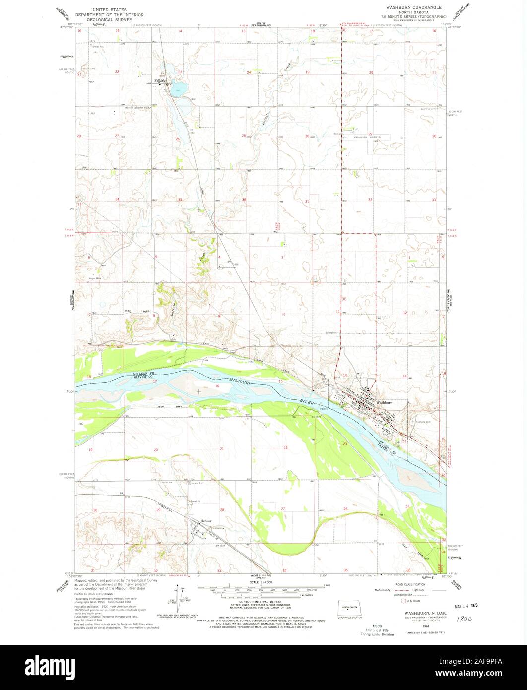 USGS TOPO Map North Dakota ND Washburn 285150 1961 24000 Restoration Stock Photohttps://www.alamy.com/image-license-details/?v=1https://www.alamy.com/usgs-topo-map-north-dakota-nd-washburn-285150-1961-24000-restoration-image336432078.html
RM2AF9PFA–USGS TOPO Map North Dakota ND Washburn 285150 1961 24000 Restoration
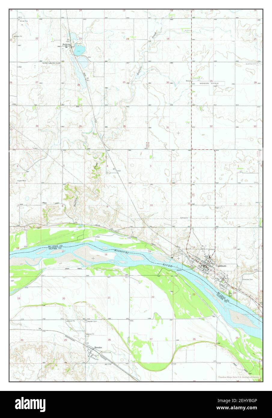 Washburn, North Dakota, map 1961, 1:24000, United States of America by Timeless Maps, data U.S. Geological Survey Stock Photohttps://www.alamy.com/image-license-details/?v=1https://www.alamy.com/washburn-north-dakota-map-1961-124000-united-states-of-america-by-timeless-maps-data-us-geological-survey-image406889414.html
RM2EHYBGP–Washburn, North Dakota, map 1961, 1:24000, United States of America by Timeless Maps, data U.S. Geological Survey
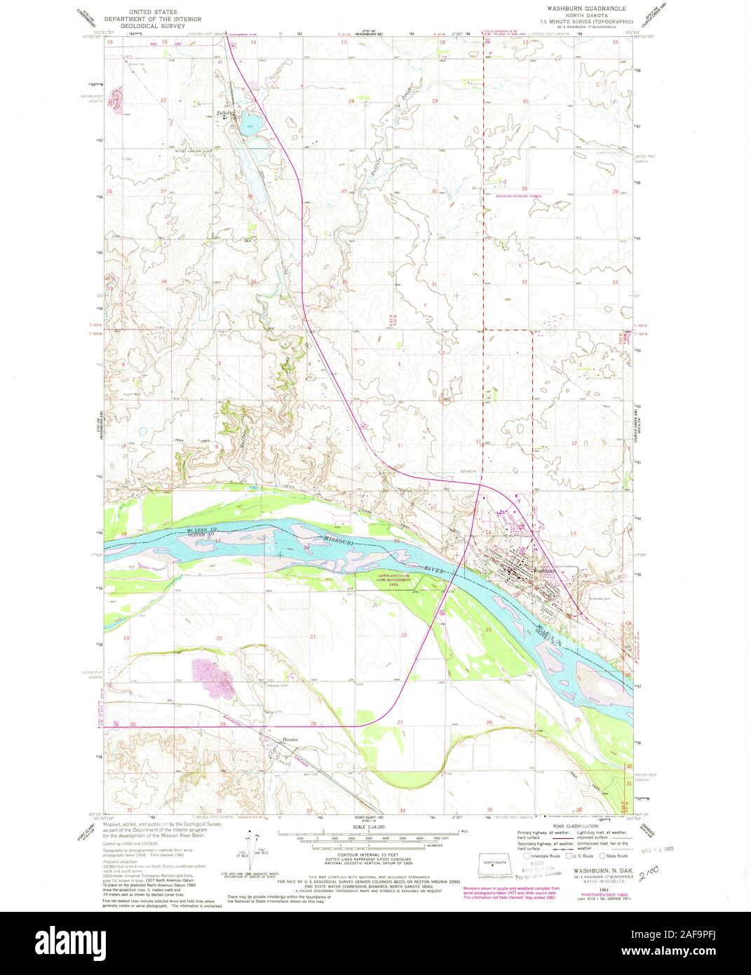 USGS TOPO Map North Dakota ND Washburn 285151 1961 24000 Restoration Stock Photohttps://www.alamy.com/image-license-details/?v=1https://www.alamy.com/usgs-topo-map-north-dakota-nd-washburn-285151-1961-24000-restoration-image336432086.html
RM2AF9PFJ–USGS TOPO Map North Dakota ND Washburn 285151 1961 24000 Restoration
 Washburn, North Dakota, map 1949, 1:62500, United States of America by Timeless Maps, data U.S. Geological Survey Stock Photohttps://www.alamy.com/image-license-details/?v=1https://www.alamy.com/washburn-north-dakota-map-1949-162500-united-states-of-america-by-timeless-maps-data-us-geological-survey-image414106580.html
RM2F1M54M–Washburn, North Dakota, map 1949, 1:62500, United States of America by Timeless Maps, data U.S. Geological Survey
 USGS TOPO Map North Dakota ND Washburn 285149 1961 24000 Restoration Stock Photohttps://www.alamy.com/image-license-details/?v=1https://www.alamy.com/usgs-topo-map-north-dakota-nd-washburn-285149-1961-24000-restoration-image336432075.html
RM2AF9PF7–USGS TOPO Map North Dakota ND Washburn 285149 1961 24000 Restoration
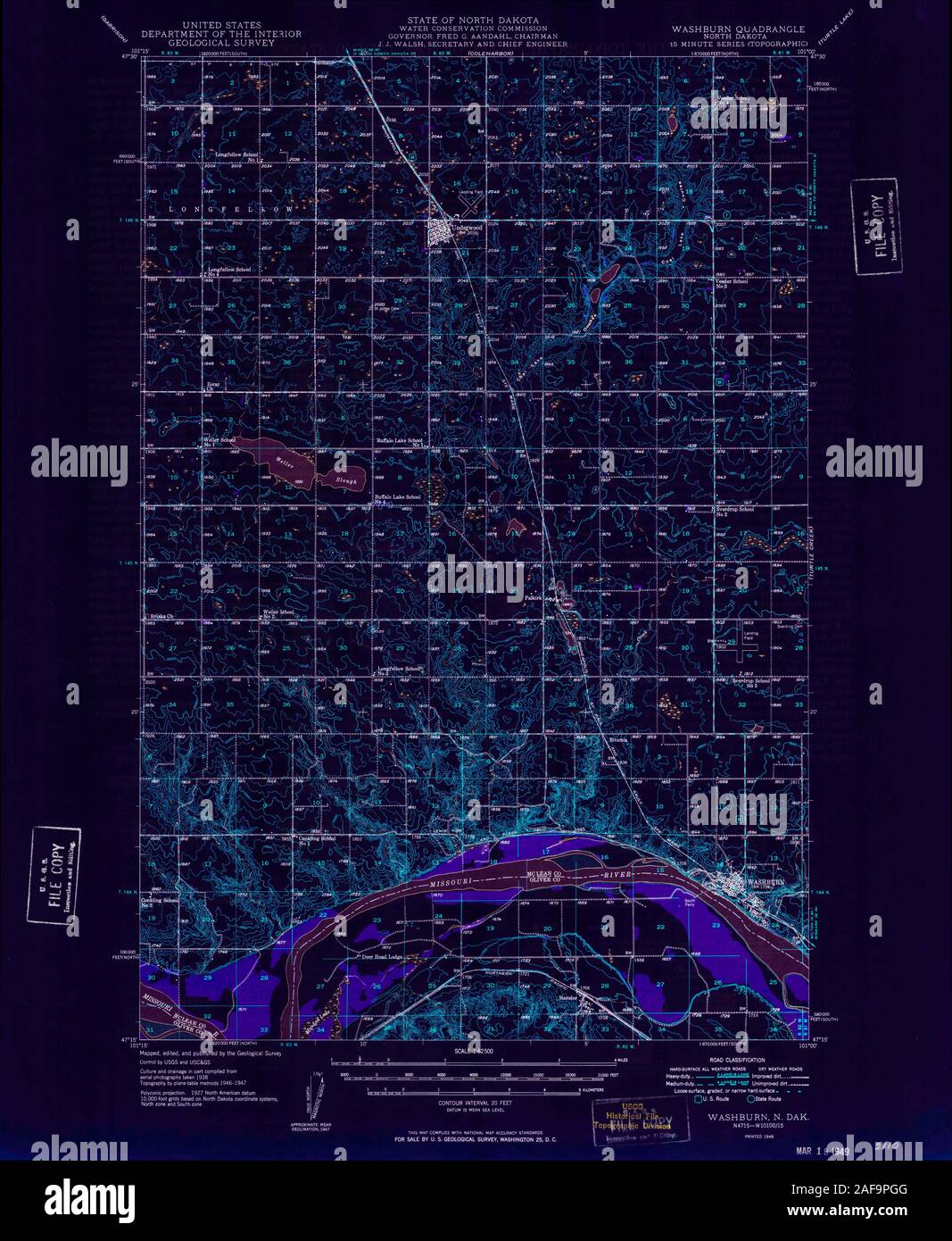 USGS TOPO Map North Dakota ND Washburn 285401 1949 62500 Inverted Restoration Stock Photohttps://www.alamy.com/image-license-details/?v=1https://www.alamy.com/usgs-topo-map-north-dakota-nd-washburn-285401-1949-62500-inverted-restoration-image336432112.html
RM2AF9PGG–USGS TOPO Map North Dakota ND Washburn 285401 1949 62500 Inverted Restoration
 USGS TOPO Map North Dakota ND Washburn 285402 1949 62500 Inverted Restoration Stock Photohttps://www.alamy.com/image-license-details/?v=1https://www.alamy.com/usgs-topo-map-north-dakota-nd-washburn-285402-1949-62500-inverted-restoration-image336432111.html
RM2AF9PGF–USGS TOPO Map North Dakota ND Washburn 285402 1949 62500 Inverted Restoration
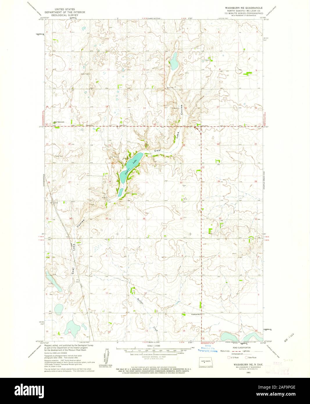 USGS TOPO Map North Dakota ND Washburn NE 285152 1961 24000 Restoration Stock Photohttps://www.alamy.com/image-license-details/?v=1https://www.alamy.com/usgs-topo-map-north-dakota-nd-washburn-ne-285152-1961-24000-restoration-image336432110.html
RM2AF9PGE–USGS TOPO Map North Dakota ND Washburn NE 285152 1961 24000 Restoration
 USGS TOPO Map North Dakota ND Washburn SW 20110330 TM Inverted Restoration Stock Photohttps://www.alamy.com/image-license-details/?v=1https://www.alamy.com/usgs-topo-map-north-dakota-nd-washburn-sw-20110330-tm-inverted-restoration-image336432145.html
RM2AF9PHN–USGS TOPO Map North Dakota ND Washburn SW 20110330 TM Inverted Restoration
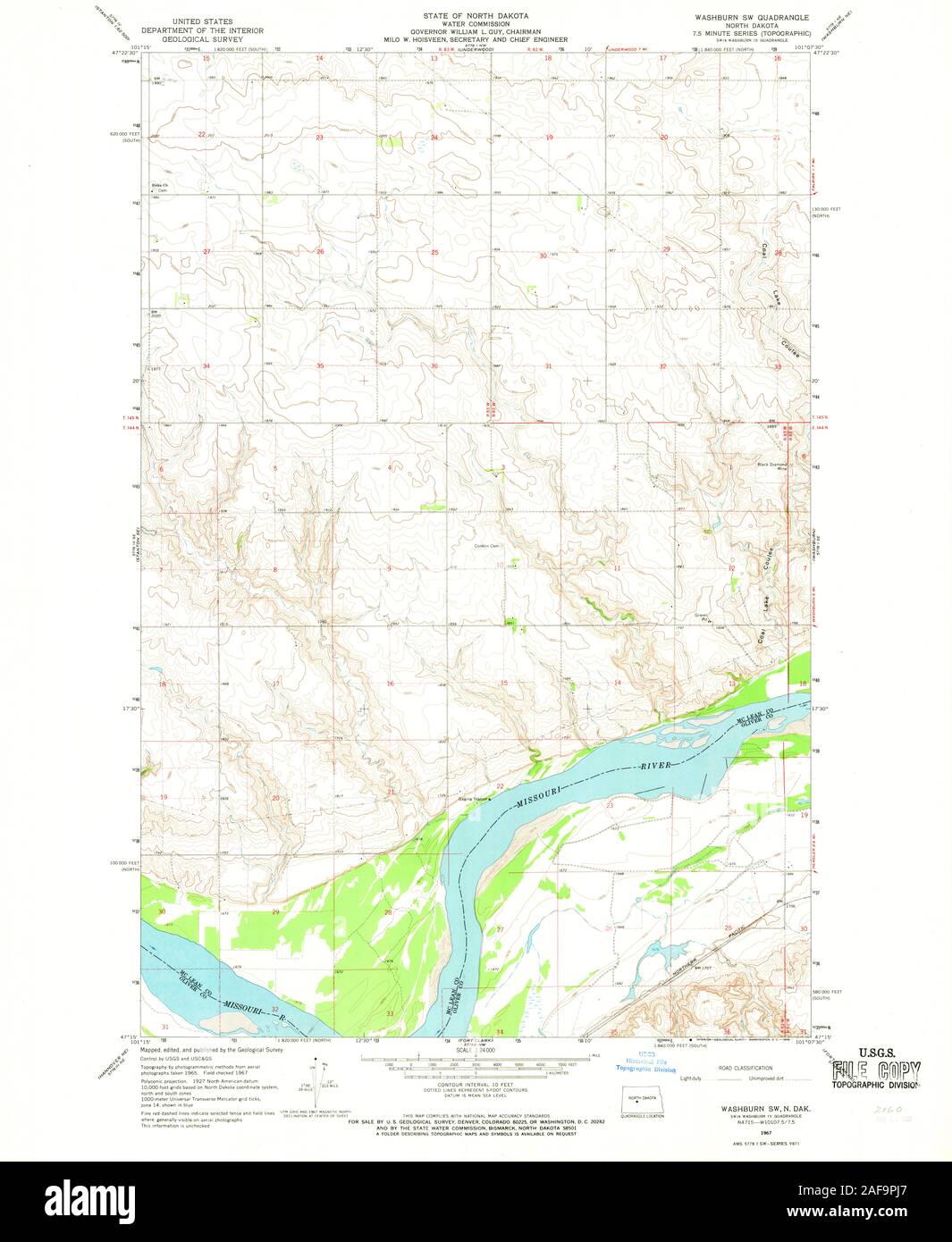 USGS TOPO Map North Dakota ND Washburn SW 285154 1967 24000 Restoration Stock Photohttps://www.alamy.com/image-license-details/?v=1https://www.alamy.com/usgs-topo-map-north-dakota-nd-washburn-sw-285154-1967-24000-restoration-image336432159.html
RM2AF9PJ7–USGS TOPO Map North Dakota ND Washburn SW 285154 1967 24000 Restoration
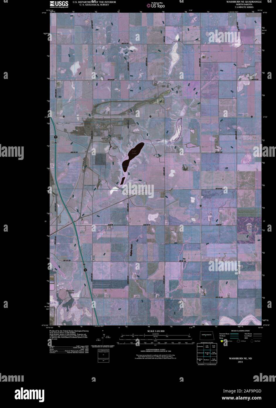 USGS TOPO Map North Dakota ND Washburn NE 20110330 TM Inverted Restoration Stock Photohttps://www.alamy.com/image-license-details/?v=1https://www.alamy.com/usgs-topo-map-north-dakota-nd-washburn-ne-20110330-tm-inverted-restoration-image336432109.html
RM2AF9PGD–USGS TOPO Map North Dakota ND Washburn NE 20110330 TM Inverted Restoration
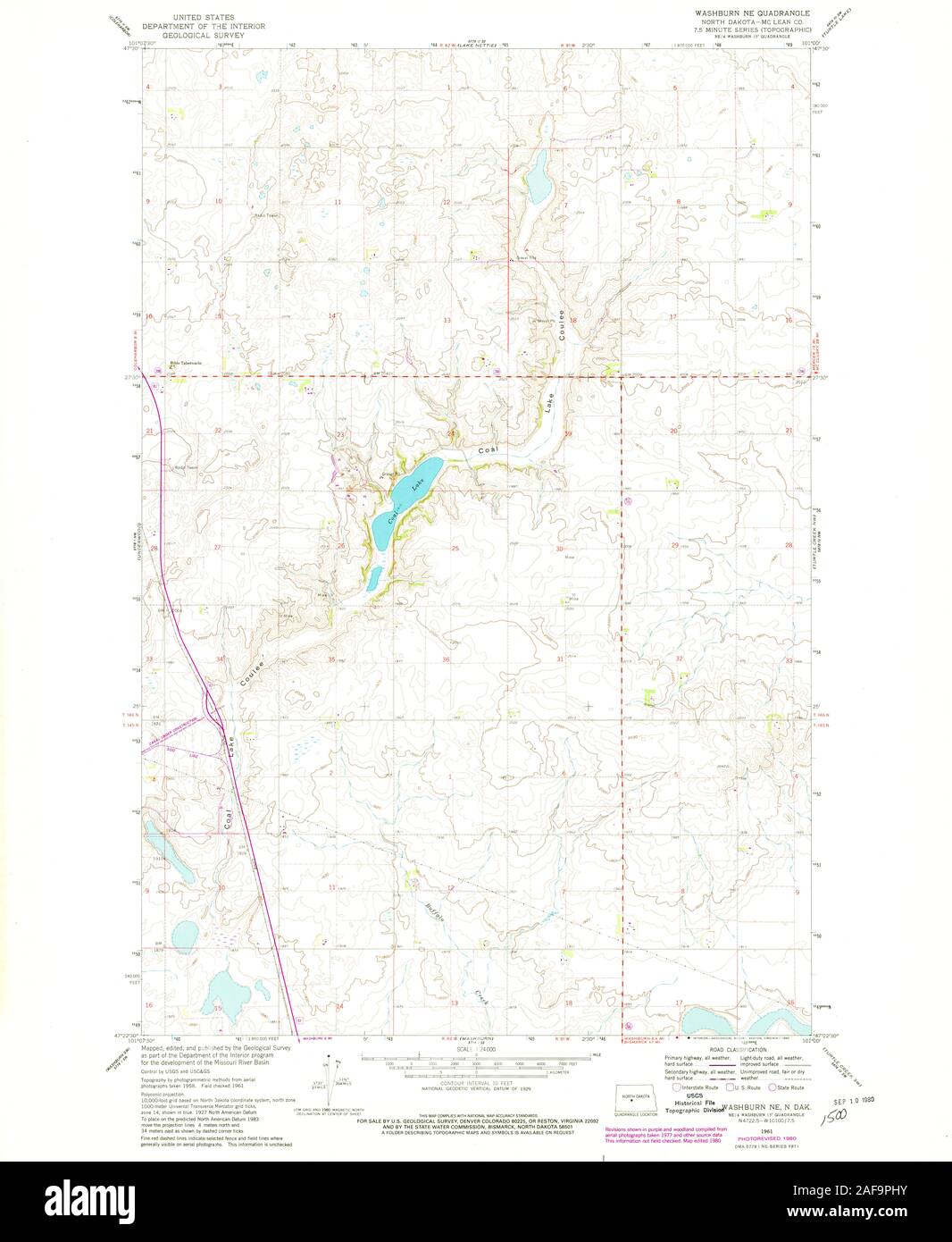 USGS TOPO Map North Dakota ND Washburn NE 285153 1961 24000 Restoration Stock Photohttps://www.alamy.com/image-license-details/?v=1https://www.alamy.com/usgs-topo-map-north-dakota-nd-washburn-ne-285153-1961-24000-restoration-image336432151.html
RM2AF9PHY–USGS TOPO Map North Dakota ND Washburn NE 285153 1961 24000 Restoration
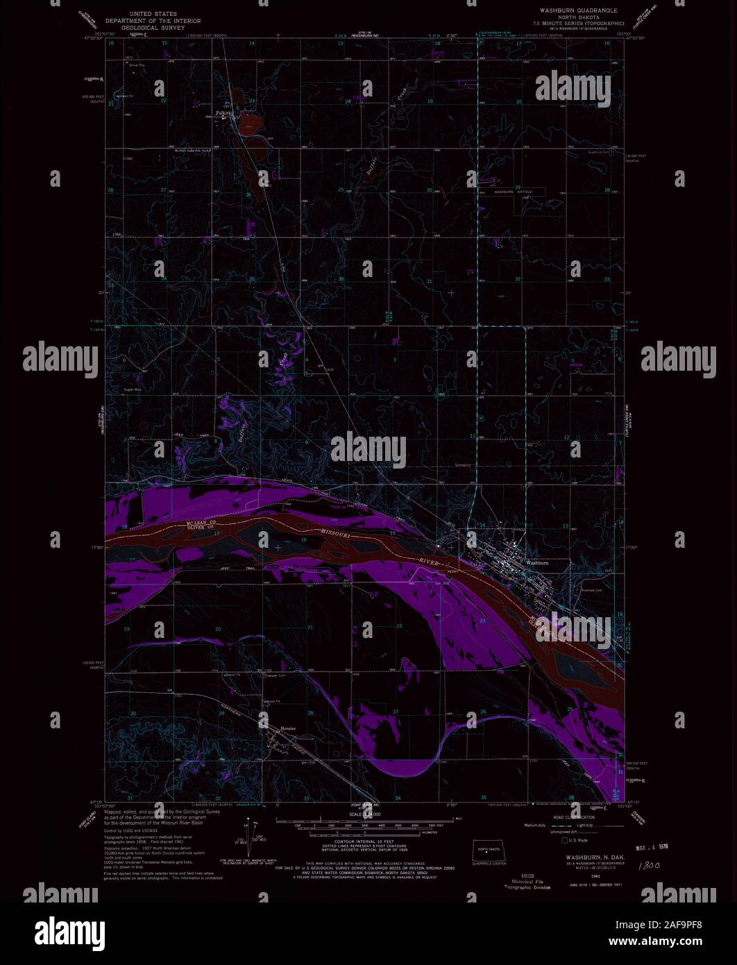 USGS TOPO Map North Dakota ND Washburn 285150 1961 24000 Inverted Restoration Stock Photohttps://www.alamy.com/image-license-details/?v=1https://www.alamy.com/usgs-topo-map-north-dakota-nd-washburn-285150-1961-24000-inverted-restoration-image336432076.html
RM2AF9PF8–USGS TOPO Map North Dakota ND Washburn 285150 1961 24000 Inverted Restoration
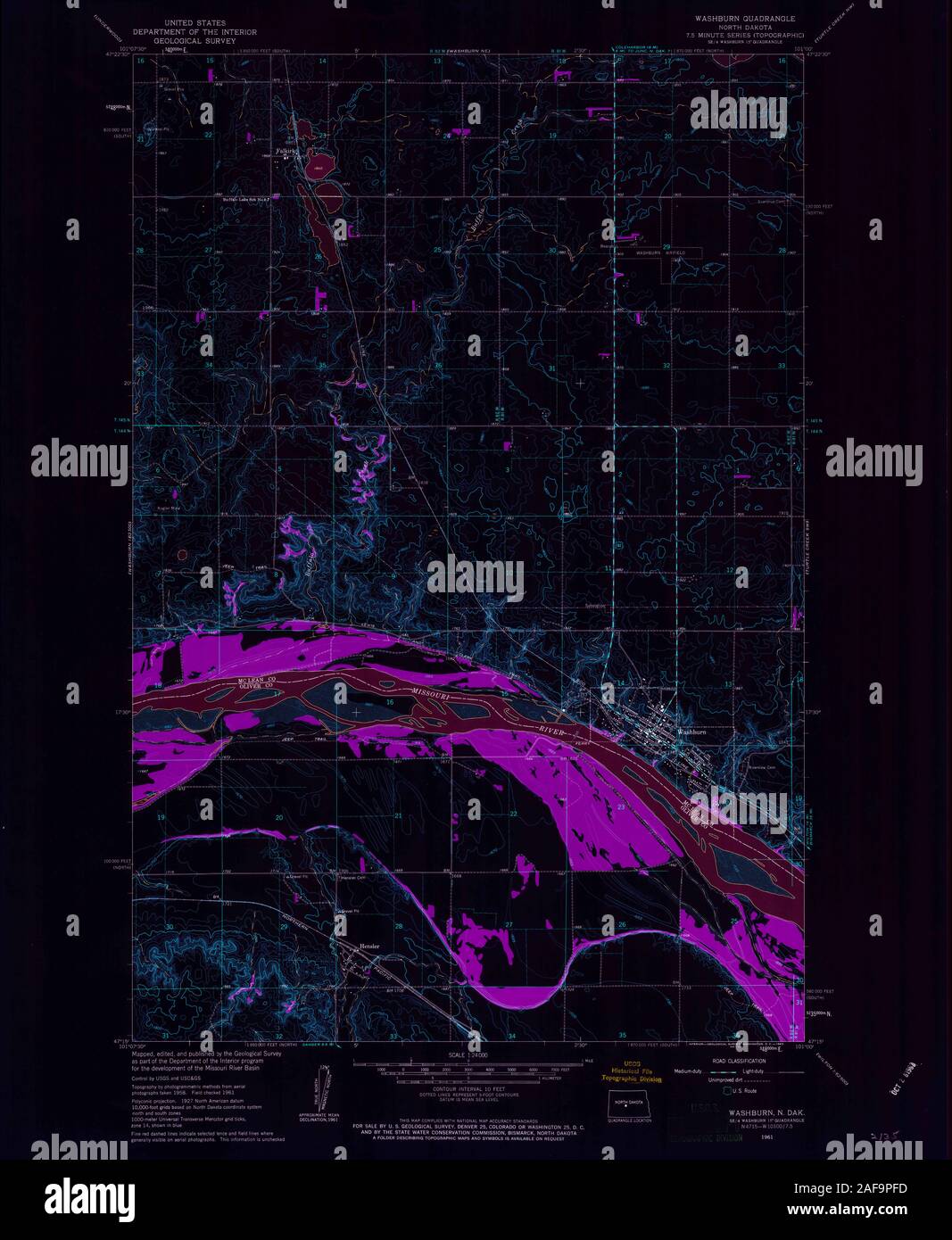 USGS TOPO Map North Dakota ND Washburn 285149 1961 24000 Inverted Restoration Stock Photohttps://www.alamy.com/image-license-details/?v=1https://www.alamy.com/usgs-topo-map-north-dakota-nd-washburn-285149-1961-24000-inverted-restoration-image336432081.html
RM2AF9PFD–USGS TOPO Map North Dakota ND Washburn 285149 1961 24000 Inverted Restoration
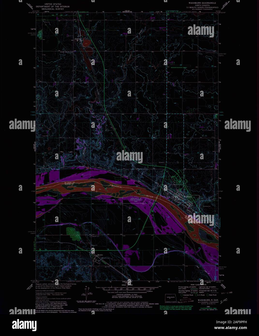 USGS TOPO Map North Dakota ND Washburn 285151 1961 24000 Inverted Restoration Stock Photohttps://www.alamy.com/image-license-details/?v=1https://www.alamy.com/usgs-topo-map-north-dakota-nd-washburn-285151-1961-24000-inverted-restoration-image336432085.html
RM2AF9PFH–USGS TOPO Map North Dakota ND Washburn 285151 1961 24000 Inverted Restoration
 USGS TOPO Map North Dakota ND Washburn SW 285155 1967 24000 Restoration Stock Photohttps://www.alamy.com/image-license-details/?v=1https://www.alamy.com/usgs-topo-map-north-dakota-nd-washburn-sw-285155-1967-24000-restoration-image336432144.html
RM2AF9PHM–USGS TOPO Map North Dakota ND Washburn SW 285155 1967 24000 Restoration
 USGS TOPO Map North Dakota ND Washburn NE 285152 1961 24000 Inverted Restoration Stock Photohttps://www.alamy.com/image-license-details/?v=1https://www.alamy.com/usgs-topo-map-north-dakota-nd-washburn-ne-285152-1961-24000-inverted-restoration-image336432148.html
RM2AF9PHT–USGS TOPO Map North Dakota ND Washburn NE 285152 1961 24000 Inverted Restoration
 USGS TOPO Map North Dakota ND Washburn SW 285155 1967 24000 Inverted Restoration Stock Photohttps://www.alamy.com/image-license-details/?v=1https://www.alamy.com/usgs-topo-map-north-dakota-nd-washburn-sw-285155-1967-24000-inverted-restoration-image336432182.html
RM2AF9PK2–USGS TOPO Map North Dakota ND Washburn SW 285155 1967 24000 Inverted Restoration
 USGS TOPO Map North Dakota ND Washburn SW 285154 1967 24000 Inverted Restoration Stock Photohttps://www.alamy.com/image-license-details/?v=1https://www.alamy.com/usgs-topo-map-north-dakota-nd-washburn-sw-285154-1967-24000-inverted-restoration-image336432150.html
RM2AF9PHX–USGS TOPO Map North Dakota ND Washburn SW 285154 1967 24000 Inverted Restoration
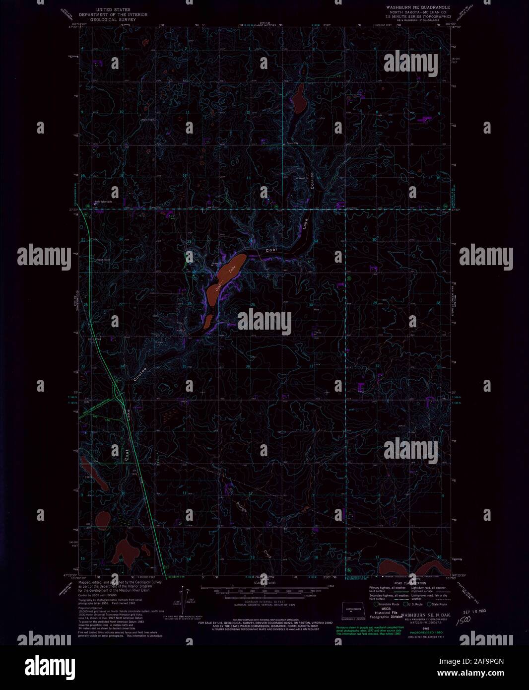 USGS TOPO Map North Dakota ND Washburn NE 285153 1961 24000 Inverted Restoration Stock Photohttps://www.alamy.com/image-license-details/?v=1https://www.alamy.com/usgs-topo-map-north-dakota-nd-washburn-ne-285153-1961-24000-inverted-restoration-image336432117.html
RM2AF9PGN–USGS TOPO Map North Dakota ND Washburn NE 285153 1961 24000 Inverted Restoration