Water level gauge depth post Stock Photos and Images
(30)See water level gauge depth post stock video clipsWater level gauge depth post Stock Photos and Images
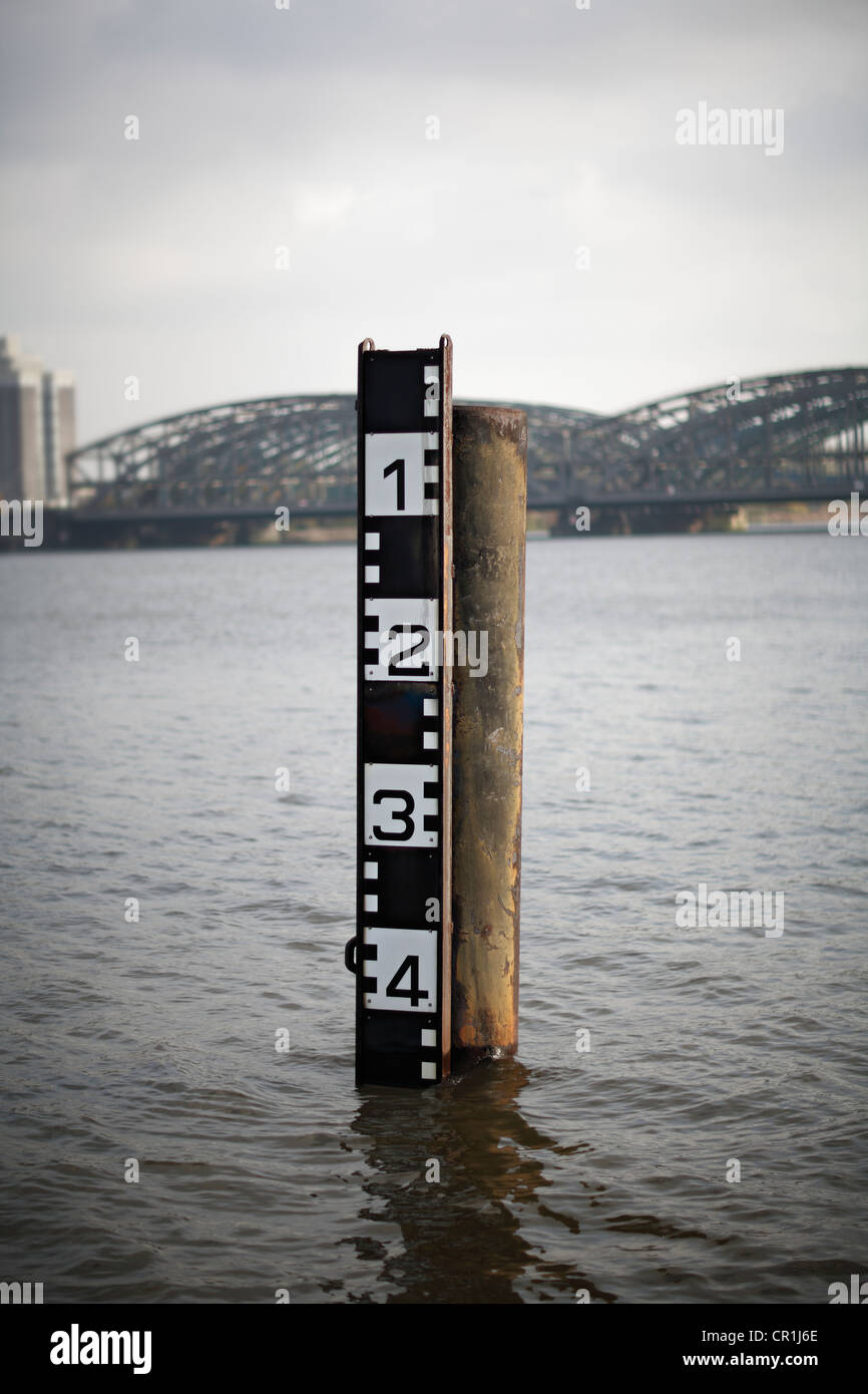 Water level gauge / depth post Stock Photohttps://www.alamy.com/image-license-details/?v=1https://www.alamy.com/stock-photo-water-level-gauge-depth-post-48594070.html
RMCR1J6E–Water level gauge / depth post
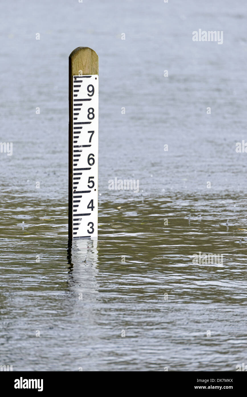 Flood level depth marker post with rain falling into the surrounding water Stock Photohttps://www.alamy.com/image-license-details/?v=1https://www.alamy.com/flood-level-depth-marker-post-with-rain-falling-into-the-surrounding-image67782062.html
RFDX7MKX–Flood level depth marker post with rain falling into the surrounding water
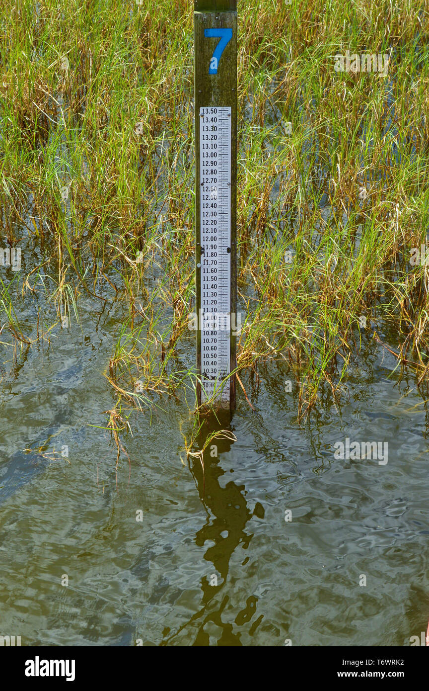 Staff Gauge Depth Level Indicator Water Meter Measuring Surveillance Tool Post Ruler Height Indicator Close-Up View in Lake Water Grass Outdoors Stock Photohttps://www.alamy.com/image-license-details/?v=1https://www.alamy.com/staff-gauge-depth-level-indicator-water-meter-measuring-surveillance-tool-post-ruler-height-indicator-close-up-view-in-lake-water-grass-outdoors-image245200454.html
RFT6WRK2–Staff Gauge Depth Level Indicator Water Meter Measuring Surveillance Tool Post Ruler Height Indicator Close-Up View in Lake Water Grass Outdoors
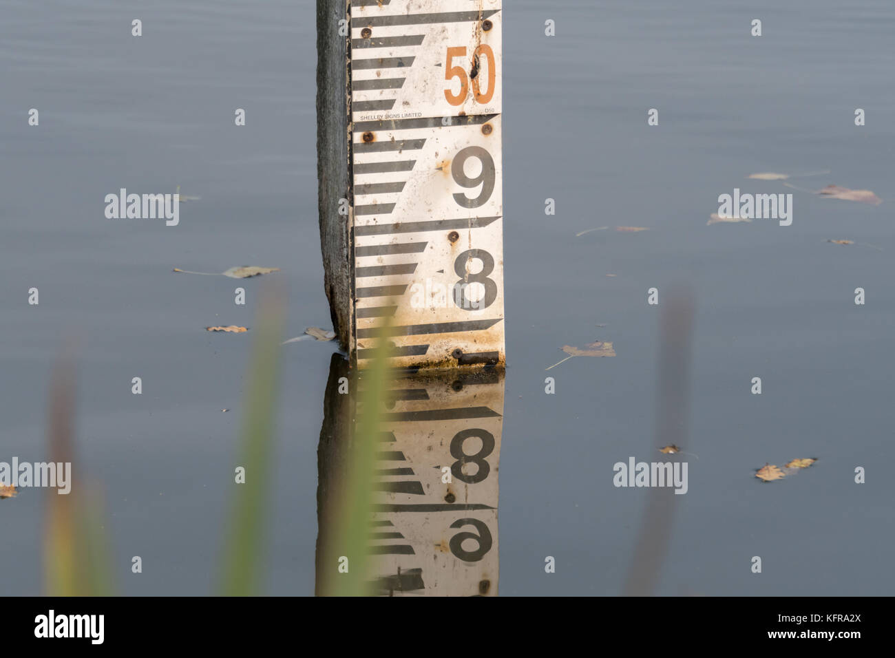 Water depth gauge board Stock Photohttps://www.alamy.com/image-license-details/?v=1https://www.alamy.com/stock-image-water-depth-gauge-board-164625970.html
RFKFRA2X–Water depth gauge board
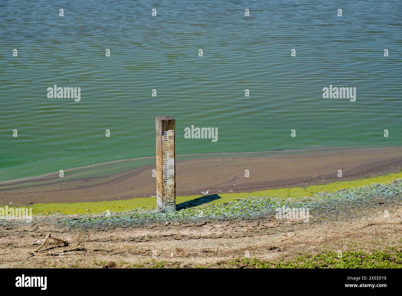 At the Parc du Marquenterre bird sanctuary, Baie de Somme, France, during the summer drought of 2022, the water level is below minimum. Stock Photohttps://www.alamy.com/image-license-details/?v=1https://www.alamy.com/at-the-parc-du-marquenterre-bird-sanctuary-baie-de-somme-france-during-the-summer-drought-of-2022-the-water-level-is-below-minimum-image490814556.html
RM2KEEEY8–At the Parc du Marquenterre bird sanctuary, Baie de Somme, France, during the summer drought of 2022, the water level is below minimum.
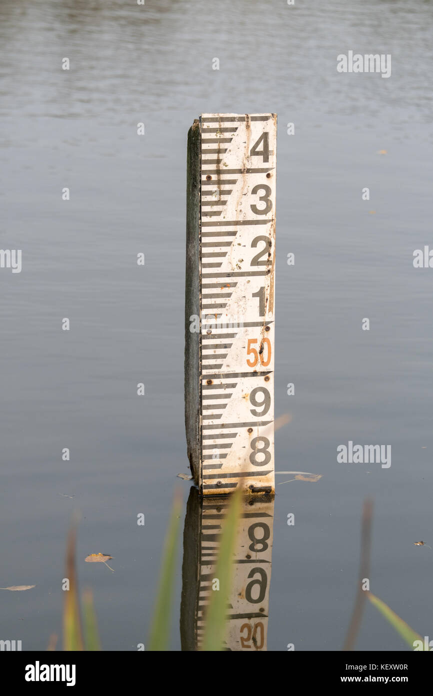 Water depth gauge board Stock Photohttps://www.alamy.com/image-license-details/?v=1https://www.alamy.com/stock-image-water-depth-gauge-board-164088871.html
RFKEXW0R–Water depth gauge board
 Sea view at low tide with water level gauge visible, North Sea, North Frisia, Germany, depth post Stock Photohttps://www.alamy.com/image-license-details/?v=1https://www.alamy.com/stock-photo-sea-view-at-low-tide-with-water-level-gauge-visible-north-sea-north-11515416.html
RMA6AJMW–Sea view at low tide with water level gauge visible, North Sea, North Frisia, Germany, depth post
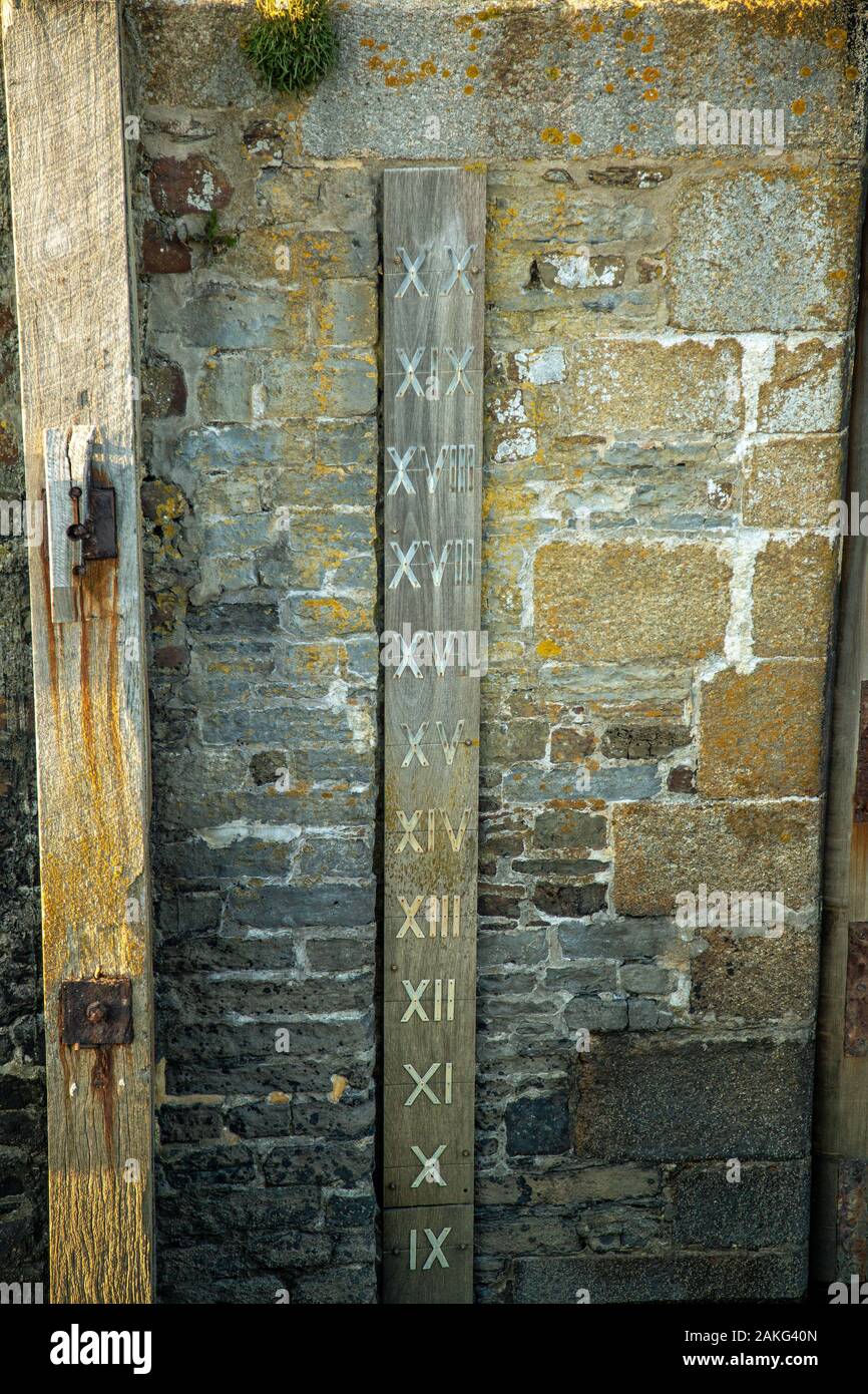 Depth Gauge Stock Photohttps://www.alamy.com/image-license-details/?v=1https://www.alamy.com/depth-gauge-image339029845.html
RF2AKG40N–Depth Gauge
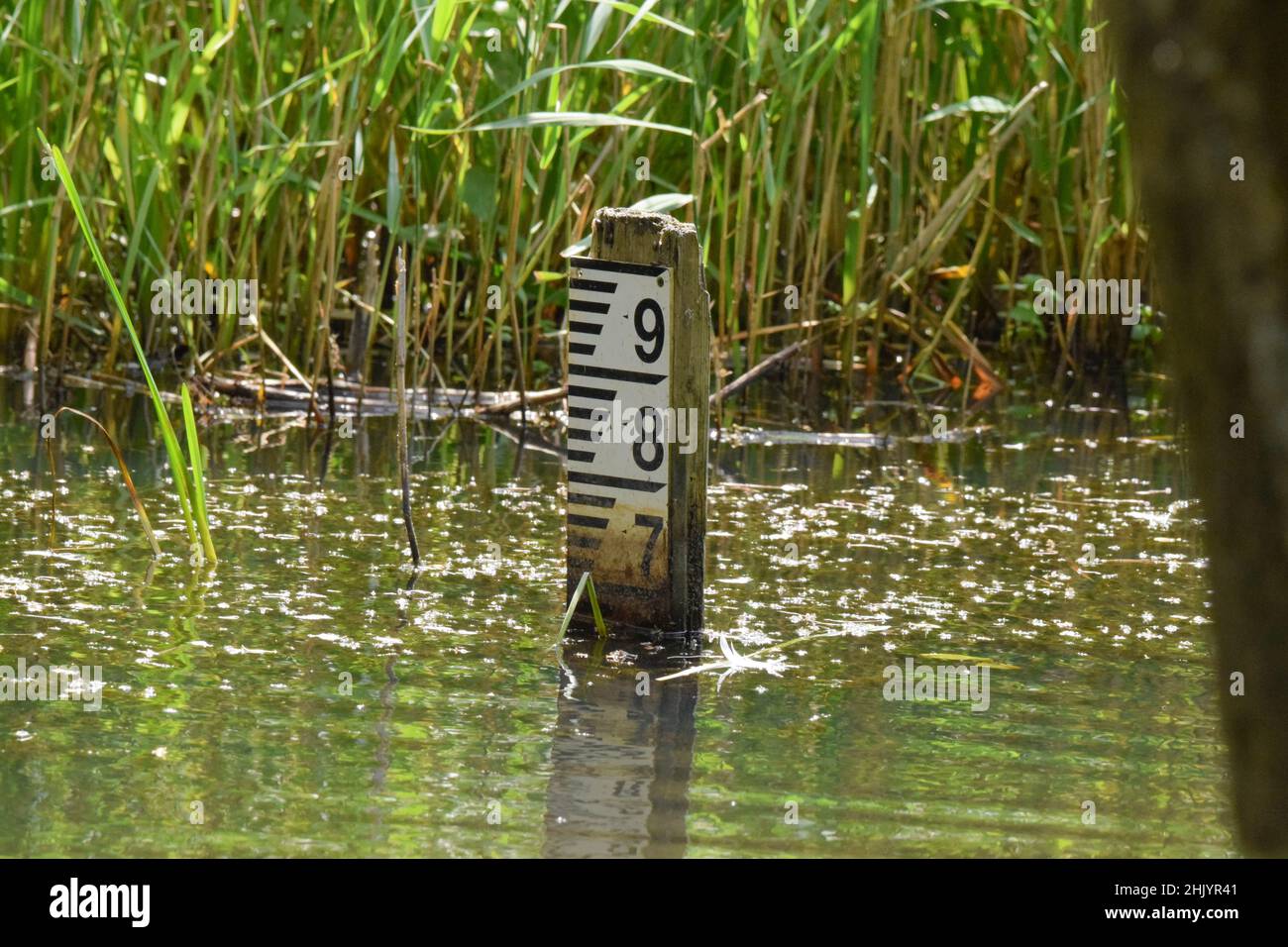 Water depth marker Stock Photohttps://www.alamy.com/image-license-details/?v=1https://www.alamy.com/water-depth-marker-image459144225.html
RF2HJYR41–Water depth marker
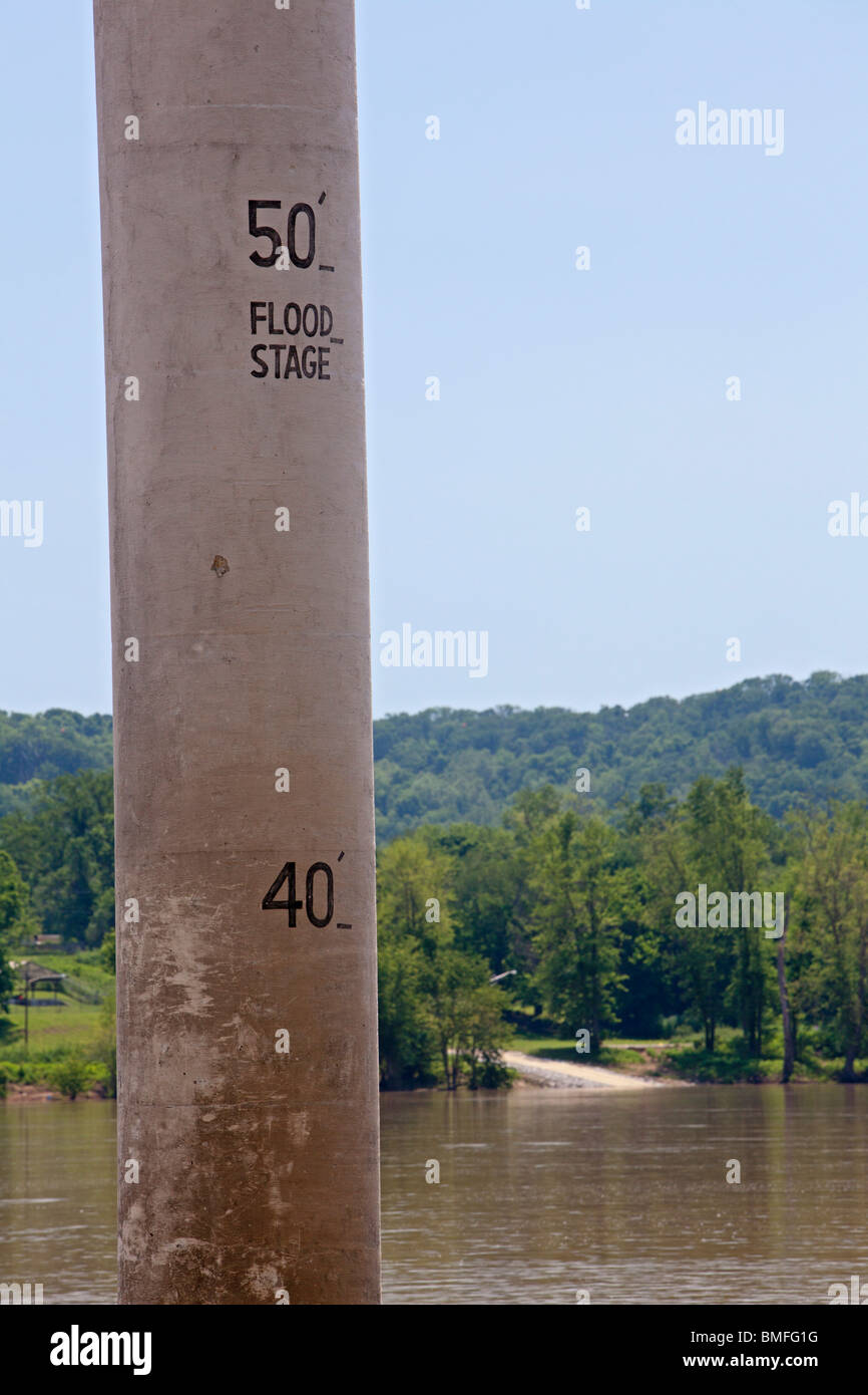 Vevay, Indiana - A concrete post measures the depth of the Ohio River flowing between Indiana and Kentucky. Stock Photohttps://www.alamy.com/image-license-details/?v=1https://www.alamy.com/stock-photo-vevay-indiana-a-concrete-post-measures-the-depth-of-the-ohio-river-29845356.html
RMBMFG1G–Vevay, Indiana - A concrete post measures the depth of the Ohio River flowing between Indiana and Kentucky.
 Cambridgeshire, UK. 03rd Jan, 2014. The Ouse washes at Sutton Gault are flooded as a combination of heavy rain and high tides cause flooding across the country. Farmland between two man made rivers, the Old and New Bedford Levels running from Earith in Cambridgeshire to Denver in Norfolk, is designed to flood to absorb floodwaters from the River Great Ouse in order to keep much of East Anglia dry. The water levels are high and more rain and wind is expected over the coming days. Credit: Julian Eales/Alamy Live News Stock Photohttps://www.alamy.com/image-license-details/?v=1https://www.alamy.com/cambridgeshire-uk-03rd-jan-2014-the-ouse-washes-at-sutton-gault-are-image65030403.html
RMDNPAXB–Cambridgeshire, UK. 03rd Jan, 2014. The Ouse washes at Sutton Gault are flooded as a combination of heavy rain and high tides cause flooding across the country. Farmland between two man made rivers, the Old and New Bedford Levels running from Earith in Cambridgeshire to Denver in Norfolk, is designed to flood to absorb floodwaters from the River Great Ouse in order to keep much of East Anglia dry. The water levels are high and more rain and wind is expected over the coming days. Credit: Julian Eales/Alamy Live News
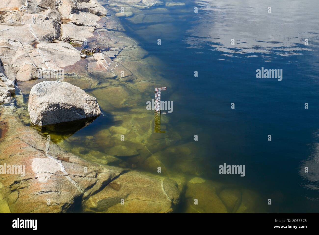
 Water level markers in a reservoir Stock Photohttps://www.alamy.com/image-license-details/?v=1https://www.alamy.com/water-level-markers-in-a-reservoir-image387370038.html
RF2DE66C6–Water level markers in a reservoir
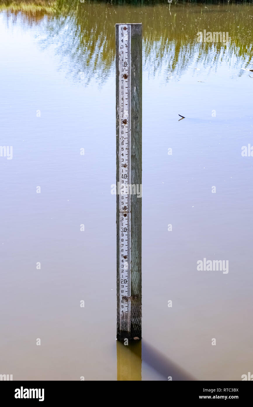 Flood level depth marker post, California Stock Photohttps://www.alamy.com/image-license-details/?v=1https://www.alamy.com/flood-level-depth-marker-post-california-image238752638.html
RFRTC3BX–Flood level depth marker post, California
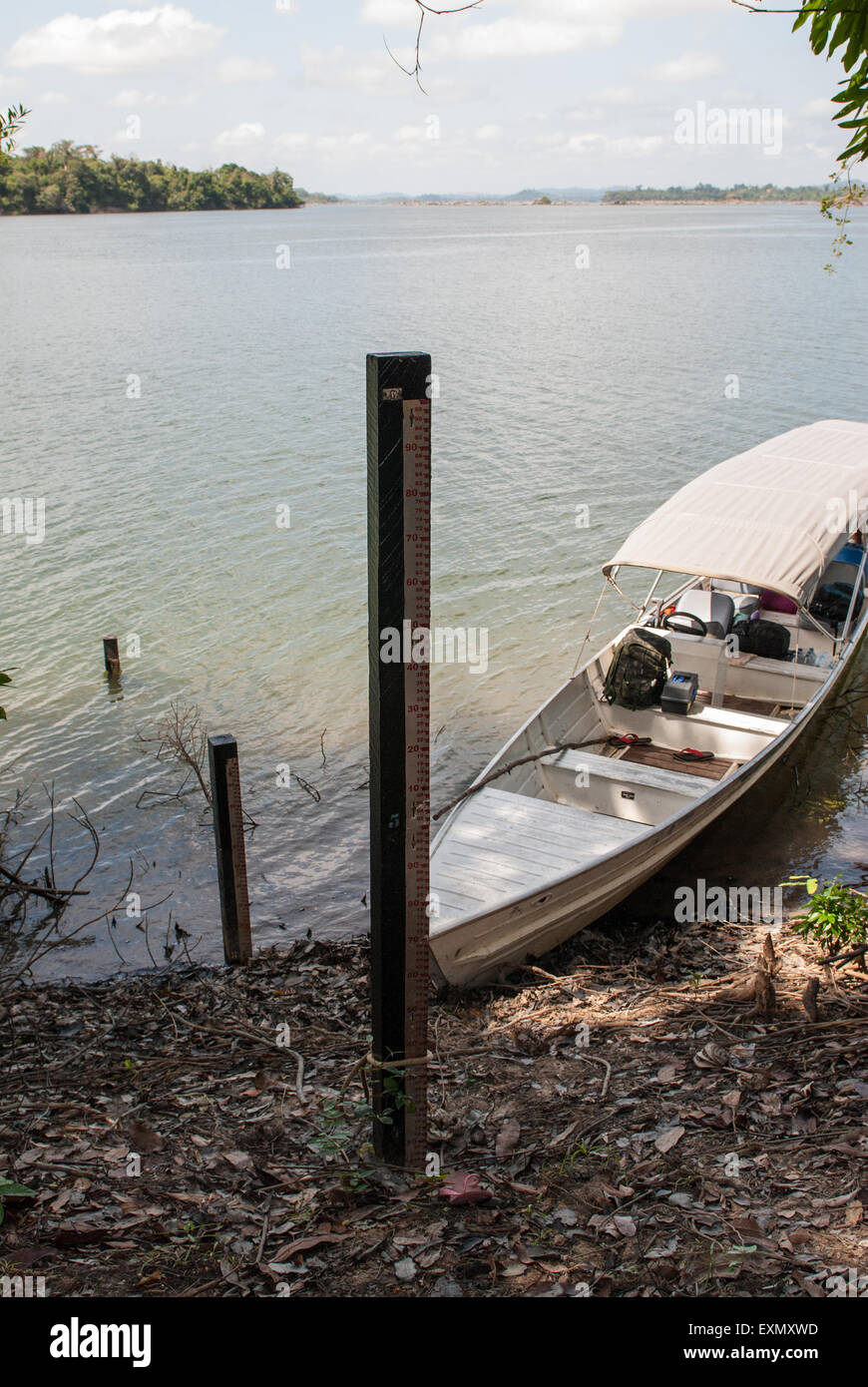
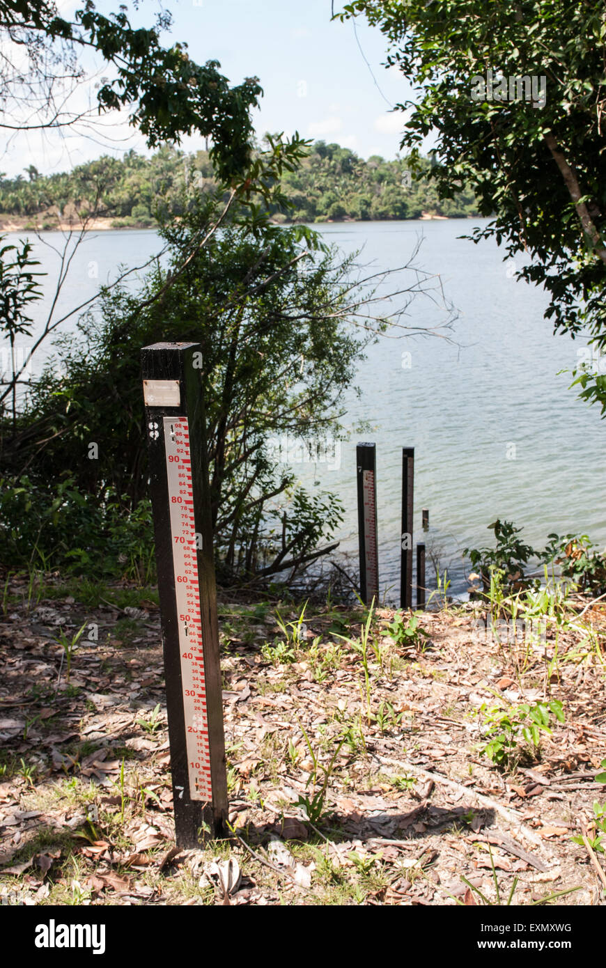 Xingu River, Para State, Brazil. Water level measurement for dam construction. Stock Photohttps://www.alamy.com/image-license-details/?v=1https://www.alamy.com/stock-photo-xingu-river-para-state-brazil-water-level-measurement-for-dam-construction-85282668.html
RMEXMXWG–Xingu River, Para State, Brazil. Water level measurement for dam construction.
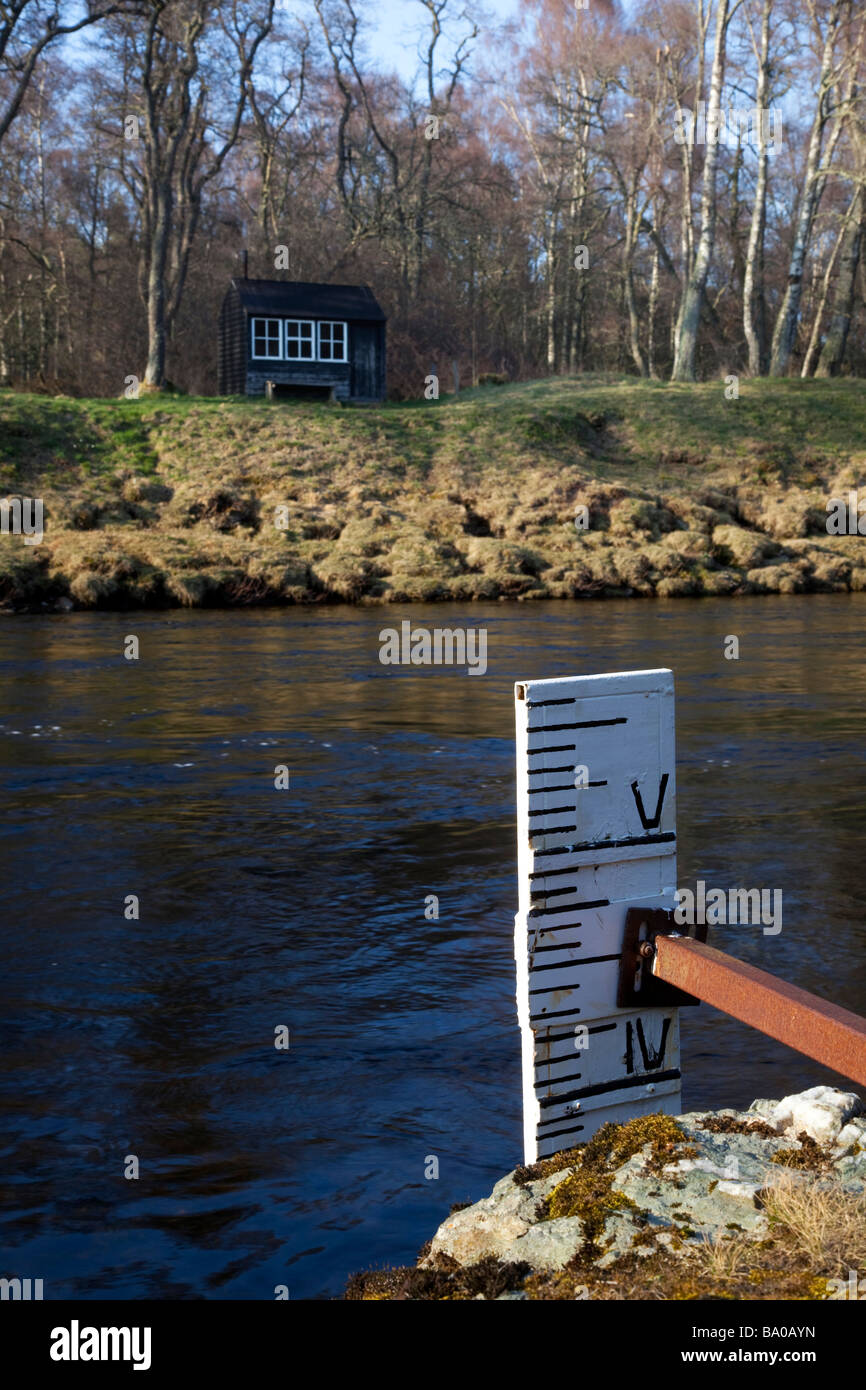 Salmon- fisher's bothy, water, river, depth, environment, environmental, flood, gauge, indicator, level, measure, measurement, River Dee Scotland, UK Stock Photohttps://www.alamy.com/image-license-details/?v=1https://www.alamy.com/stock-photo-salmon-fishers-bothy-water-river-depth-environment-environmental-flood-23365545.html
RFBA0AYN–Salmon- fisher's bothy, water, river, depth, environment, environmental, flood, gauge, indicator, level, measure, measurement, River Dee Scotland, UK
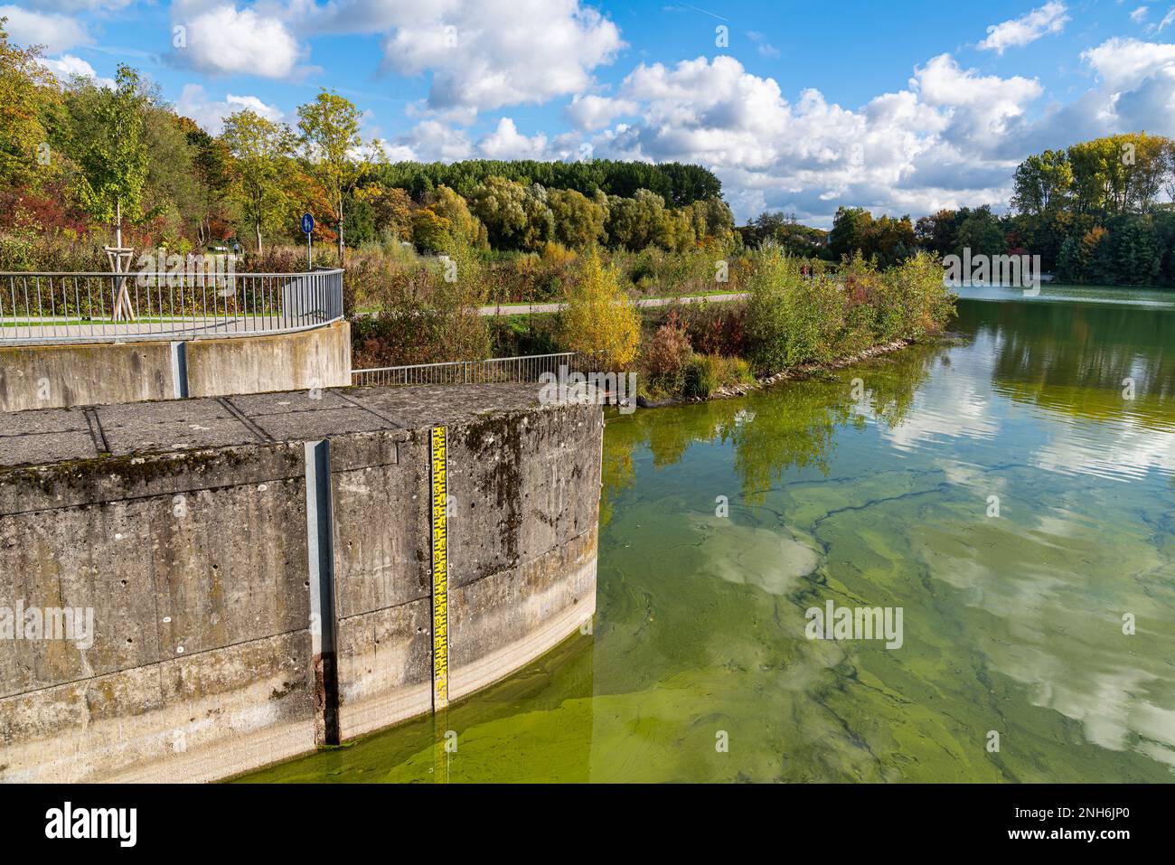 A ruler indicating the level of water in a pond. Autumn landscape under a blue sky with light clouds. Stock Photohttps://www.alamy.com/image-license-details/?v=1https://www.alamy.com/a-ruler-indicating-the-level-of-water-in-a-pond-autumn-landscape-under-a-blue-sky-with-light-clouds-image526906632.html
RF2NH6JP0–A ruler indicating the level of water in a pond. Autumn landscape under a blue sky with light clouds.
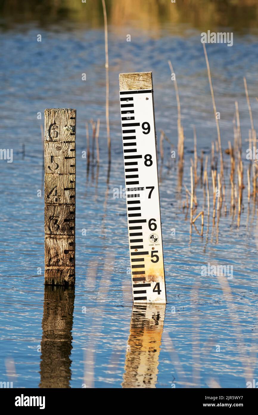 Water level indicators one old the other new. Stock Photohttps://www.alamy.com/image-license-details/?v=1https://www.alamy.com/water-level-indicators-one-old-the-other-new-image478947147.html
RM2JR5WY7–Water level indicators one old the other new.
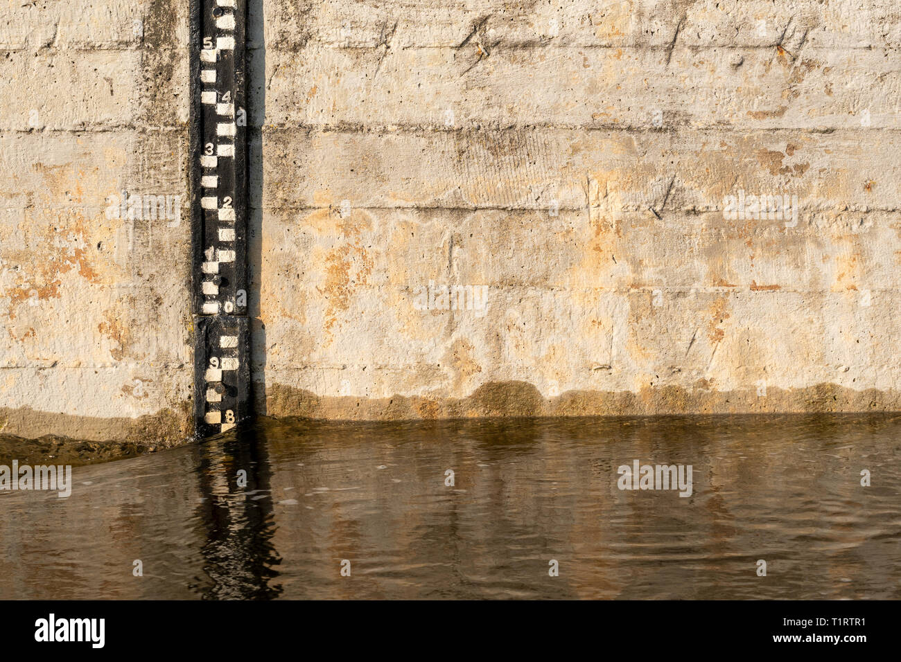 Water level indicator in a river water Stock Photohttps://www.alamy.com/image-license-details/?v=1https://www.alamy.com/water-level-indicator-in-a-river-water-image242084165.html
RFT1RTR1–Water level indicator in a river water
 a yellow marker post, partially overgrown with nettle vegetation. Stock Photohttps://www.alamy.com/image-license-details/?v=1https://www.alamy.com/a-yellow-marker-post-partially-overgrown-with-nettle-vegetation-image331490001.html
RF2A78JTH–a yellow marker post, partially overgrown with nettle vegetation.
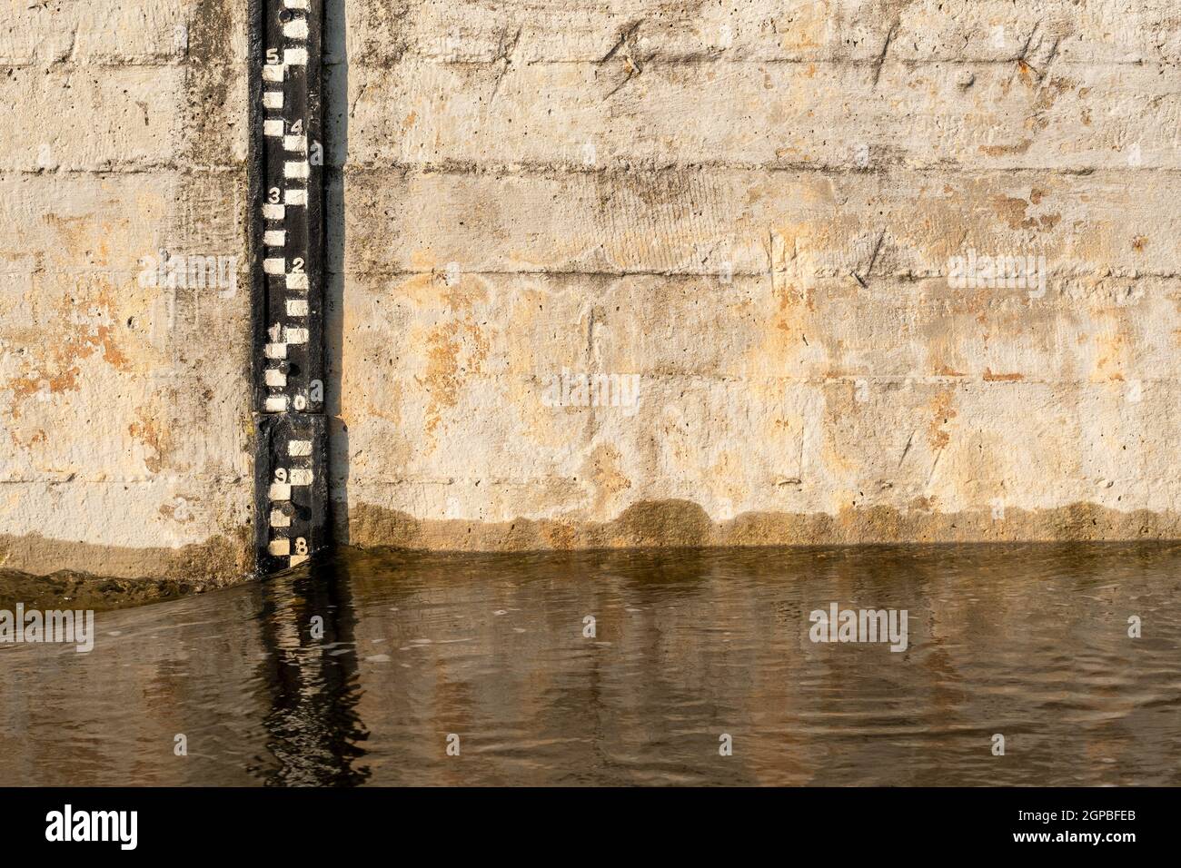 Water level indicator in a river water Stock Photohttps://www.alamy.com/image-license-details/?v=1https://www.alamy.com/water-level-indicator-in-a-river-water-image444035267.html
RF2GPBFEB–Water level indicator in a river water
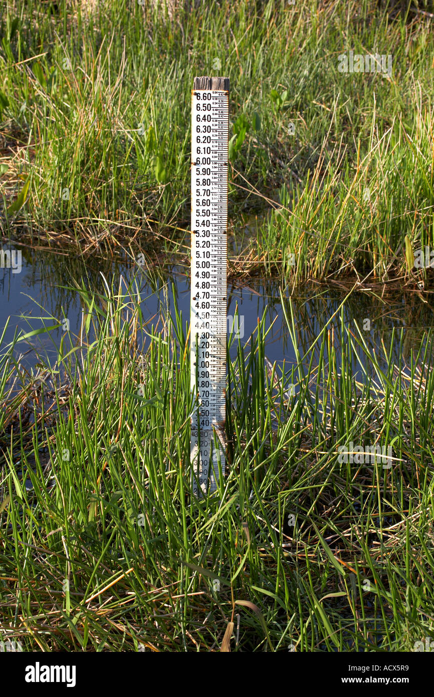 water level measurement gauge everglades state national park, florida united states usa Stock Photohttps://www.alamy.com/image-license-details/?v=1https://www.alamy.com/water-level-measurement-gauge-everglades-state-national-park-florida-image7566904.html
RFACX5R9–water level measurement gauge everglades state national park, florida united states usa
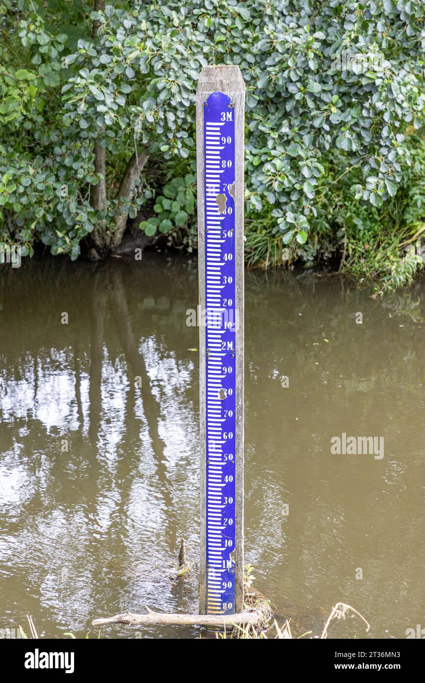 Hydrometric metric scale on Geul river, abundant green foliage in background, ruler for measuring water levels, Epen Bronnenland nature reserve, cloud Stock Photohttps://www.alamy.com/image-license-details/?v=1https://www.alamy.com/hydrometric-metric-scale-on-geul-river-abundant-green-foliage-in-background-ruler-for-measuring-water-levels-epen-bronnenland-nature-reserve-cloud-image569934095.html
RF2T36MN3–Hydrometric metric scale on Geul river, abundant green foliage in background, ruler for measuring water levels, Epen Bronnenland nature reserve, cloud
 Sea view at low tide with water level gauge visible, North Sea, North Frisia, Germany, depth post Stock Photohttps://www.alamy.com/image-license-details/?v=1https://www.alamy.com/stock-photo-sea-view-at-low-tide-with-water-level-gauge-visible-north-sea-north-11515415.html
RMA6AJMT–Sea view at low tide with water level gauge visible, North Sea, North Frisia, Germany, depth post
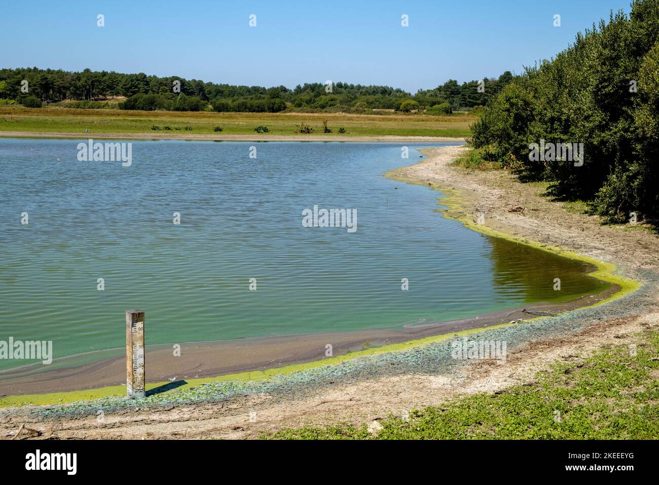 At the Parc du Marquenterre bird sanctuary, Baie de Somme, France, during the summer drought of 2022, the water level is below minimum. Stock Photohttps://www.alamy.com/image-license-details/?v=1https://www.alamy.com/at-the-parc-du-marquenterre-bird-sanctuary-baie-de-somme-france-during-the-summer-drought-of-2022-the-water-level-is-below-minimum-image490814564.html
RM2KEEEYG–At the Parc du Marquenterre bird sanctuary, Baie de Somme, France, during the summer drought of 2022, the water level is below minimum.
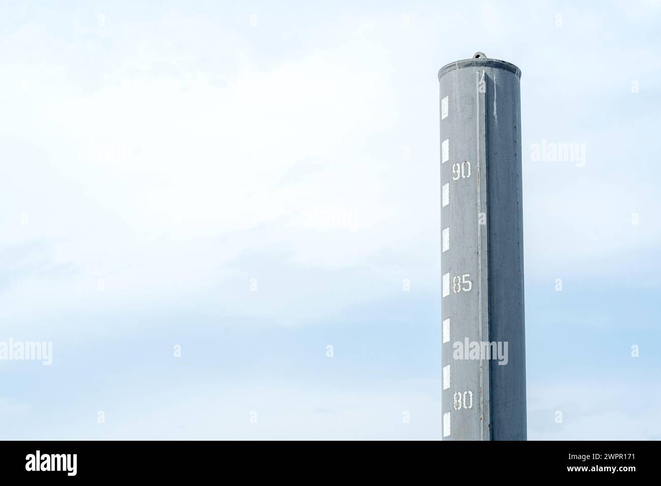 Water level gauge indicating the waters depth at a harbor against a backdrop of a light blue cloudy sky, copy space background. Measuring depth of a b Stock Photohttps://www.alamy.com/image-license-details/?v=1https://www.alamy.com/water-level-gauge-indicating-the-waters-depth-at-a-harbor-against-a-backdrop-of-a-light-blue-cloudy-sky-copy-space-background-measuring-depth-of-a-b-image599180821.html
RF2WPR171–Water level gauge indicating the waters depth at a harbor against a backdrop of a light blue cloudy sky, copy space background. Measuring depth of a b
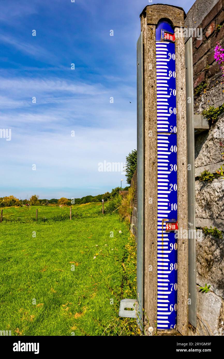 Hydrometric metric scale next to a wall on floodplain next to Maas river, measure height of river waters, sunny and foggy summer day with blue sky in Stock Photohttps://www.alamy.com/image-license-details/?v=1https://www.alamy.com/hydrometric-metric-scale-next-to-a-wall-on-floodplain-next-to-maas-river-measure-height-of-river-waters-sunny-and-foggy-summer-day-with-blue-sky-in-image567694667.html
RF2RYGM9F–Hydrometric metric scale next to a wall on floodplain next to Maas river, measure height of river waters, sunny and foggy summer day with blue sky in
 Cambridgeshire, UK. 03rd Jan, 2014. The Ouse washes at Sutton Gault are flooded as a combination of heavy rain and high tides cause flooding across the country. Farmland between two man made rivers, the Old and New Bedford Levels running from Earith in Cambridgeshire to Denver in Norfolk, is designed to flood to absorb floodwaters from the River Great Ouse in order to keep much of East Anglia dry. The water levels are high and more rain and wind is expected over the coming days. Credit: Julian Eales/Alamy Live News Stock Photohttps://www.alamy.com/image-license-details/?v=1https://www.alamy.com/cambridgeshire-uk-03rd-jan-2014-the-ouse-washes-at-sutton-gault-are-image65030404.html
RMDNPAXC–Cambridgeshire, UK. 03rd Jan, 2014. The Ouse washes at Sutton Gault are flooded as a combination of heavy rain and high tides cause flooding across the country. Farmland between two man made rivers, the Old and New Bedford Levels running from Earith in Cambridgeshire to Denver in Norfolk, is designed to flood to absorb floodwaters from the River Great Ouse in order to keep much of East Anglia dry. The water levels are high and more rain and wind is expected over the coming days. Credit: Julian Eales/Alamy Live News
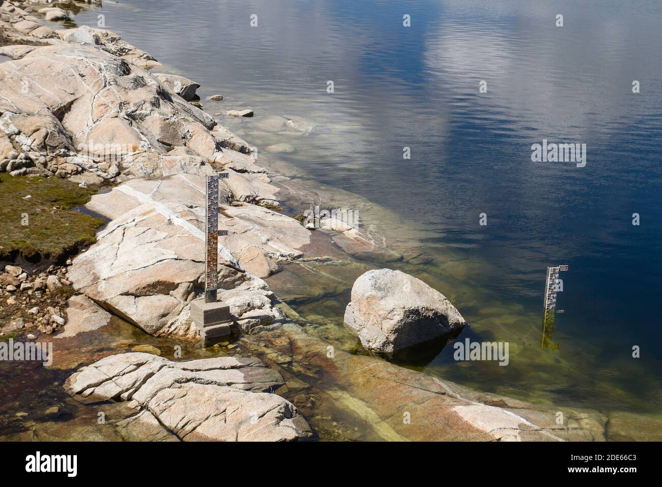 Water level markers in a reservoir Stock Photohttps://www.alamy.com/image-license-details/?v=1https://www.alamy.com/water-level-markers-in-a-reservoir-image387370035.html
RF2DE66C3–Water level markers in a reservoir
