Quick filters:
Watersheds Stock Photos and Images
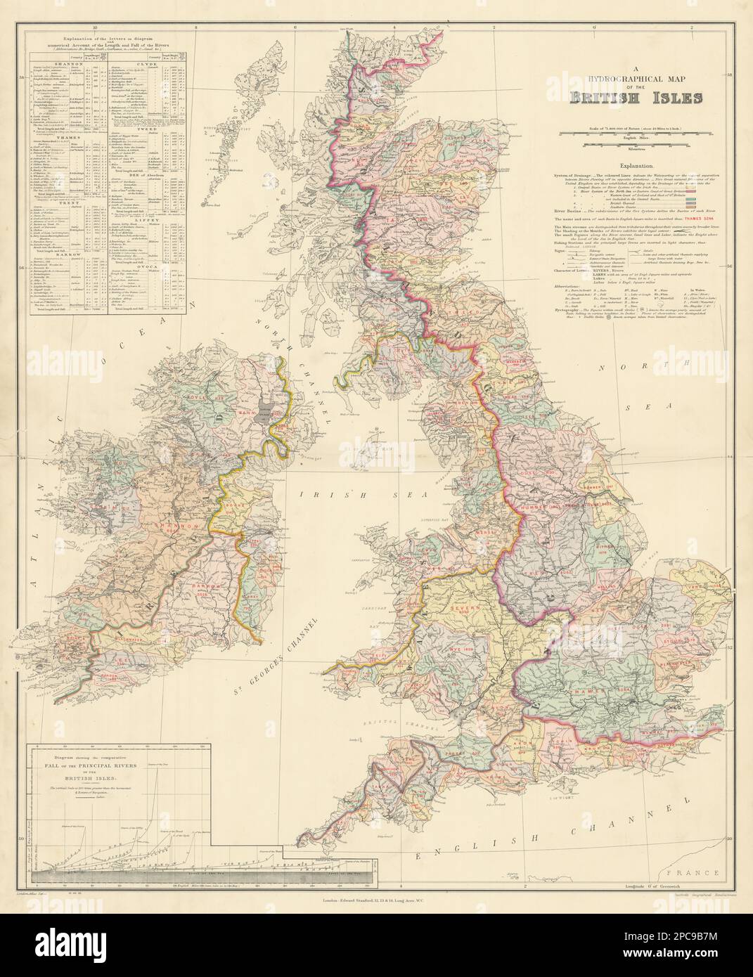 British Isles hydrographical. Watersheds River drainage basins STANFORD 1904 map Stock Photohttps://www.alamy.com/image-license-details/?v=1https://www.alamy.com/british-isles-hydrographical-watersheds-river-drainage-basins-stanford-1904-map-image541103688.html
RF2PC9B7M–British Isles hydrographical. Watersheds River drainage basins STANFORD 1904 map
 watersheds Stock Photohttps://www.alamy.com/image-license-details/?v=1https://www.alamy.com/stock-photo-watersheds-81244601.html
RMEM508W–watersheds
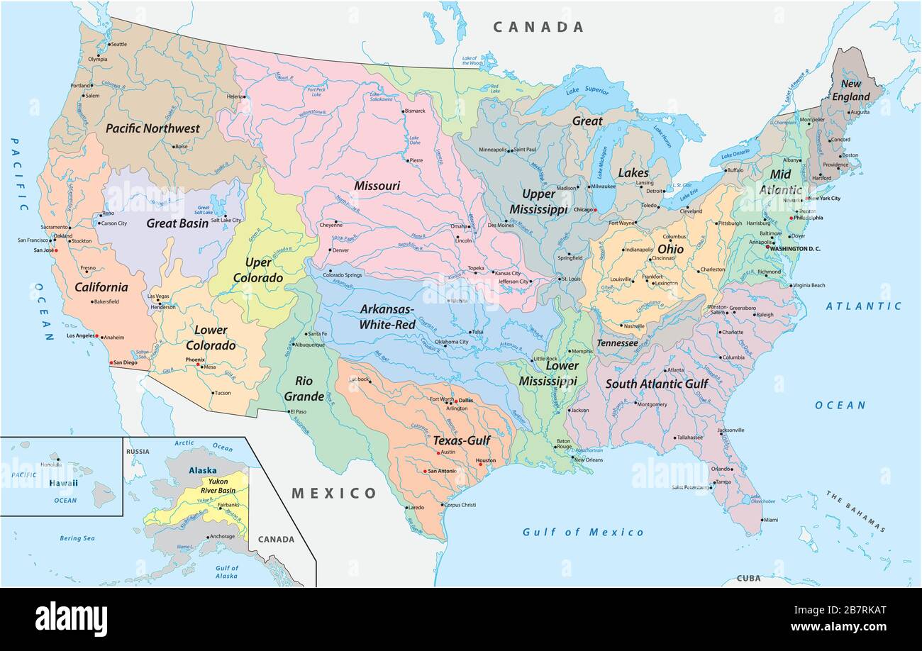 Map of the watersheds in the United States of America Stock Vectorhttps://www.alamy.com/image-license-details/?v=1https://www.alamy.com/map-of-the-watersheds-in-the-united-states-of-america-image349030048.html
RF2B7RKAT–Map of the watersheds in the United States of America
 Watersheds Program - Removal of homes raided areas and risk margins of Billings Stock Photohttps://www.alamy.com/image-license-details/?v=1https://www.alamy.com/stock-photo-watersheds-program-removal-of-homes-raided-areas-and-risk-margins-100473466.html
RMFRCXX2–Watersheds Program - Removal of homes raided areas and risk margins of Billings
 An aerial view of watersheds with a road on a sunny day Stock Photohttps://www.alamy.com/image-license-details/?v=1https://www.alamy.com/an-aerial-view-of-watersheds-with-a-road-on-a-sunny-day-image475973244.html
RF2JJACMC–An aerial view of watersheds with a road on a sunny day
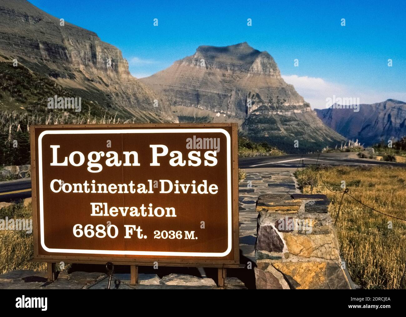 At the elevation of 6,680 feet (2036 meters), a roadside sign in Montana, USA, marks Logan Pass in the Continental Divide, which is the line that divides the flow of water between the Pacific Ocean and the Atlantic Ocean. Rain or snow that drains into rivers on the eastern side of this Great Divide flows toward the Atlantic, while precipitation on the western side drains and flows toward the Pacific. The North American portion of the divide runs mostly along the crest of the Rocky Mountains. Stock Photohttps://www.alamy.com/image-license-details/?v=1https://www.alamy.com/at-the-elevation-of-6680-feet-2036-meters-a-roadside-sign-in-montana-usa-marks-logan-pass-in-the-continental-divide-which-is-the-line-that-divides-the-flow-of-water-between-the-pacific-ocean-and-the-atlantic-ocean-rain-or-snow-that-drains-into-rivers-on-the-eastern-side-of-this-great-divide-flows-toward-the-atlantic-while-precipitation-on-the-western-side-drains-and-flows-toward-the-pacific-the-north-american-portion-of-the-divide-runs-mostly-along-the-crest-of-the-rocky-mountains-image393043122.html
RM2DRCJEA–At the elevation of 6,680 feet (2036 meters), a roadside sign in Montana, USA, marks Logan Pass in the Continental Divide, which is the line that divides the flow of water between the Pacific Ocean and the Atlantic Ocean. Rain or snow that drains into rivers on the eastern side of this Great Divide flows toward the Atlantic, while precipitation on the western side drains and flows toward the Pacific. The North American portion of the divide runs mostly along the crest of the Rocky Mountains.
 Coronado National Memorial, Hereford, Arizona, USA. Looking into Sonora, Mexico, from Arizona, border activity, watersheds, wildlife corridor. Stock Photohttps://www.alamy.com/image-license-details/?v=1https://www.alamy.com/coronado-national-memorial-hereford-arizona-usa-looking-into-sonora-mexico-from-arizona-border-activity-watersheds-wildlife-corridor-image337584975.html
RM2AH6927–Coronado National Memorial, Hereford, Arizona, USA. Looking into Sonora, Mexico, from Arizona, border activity, watersheds, wildlife corridor.
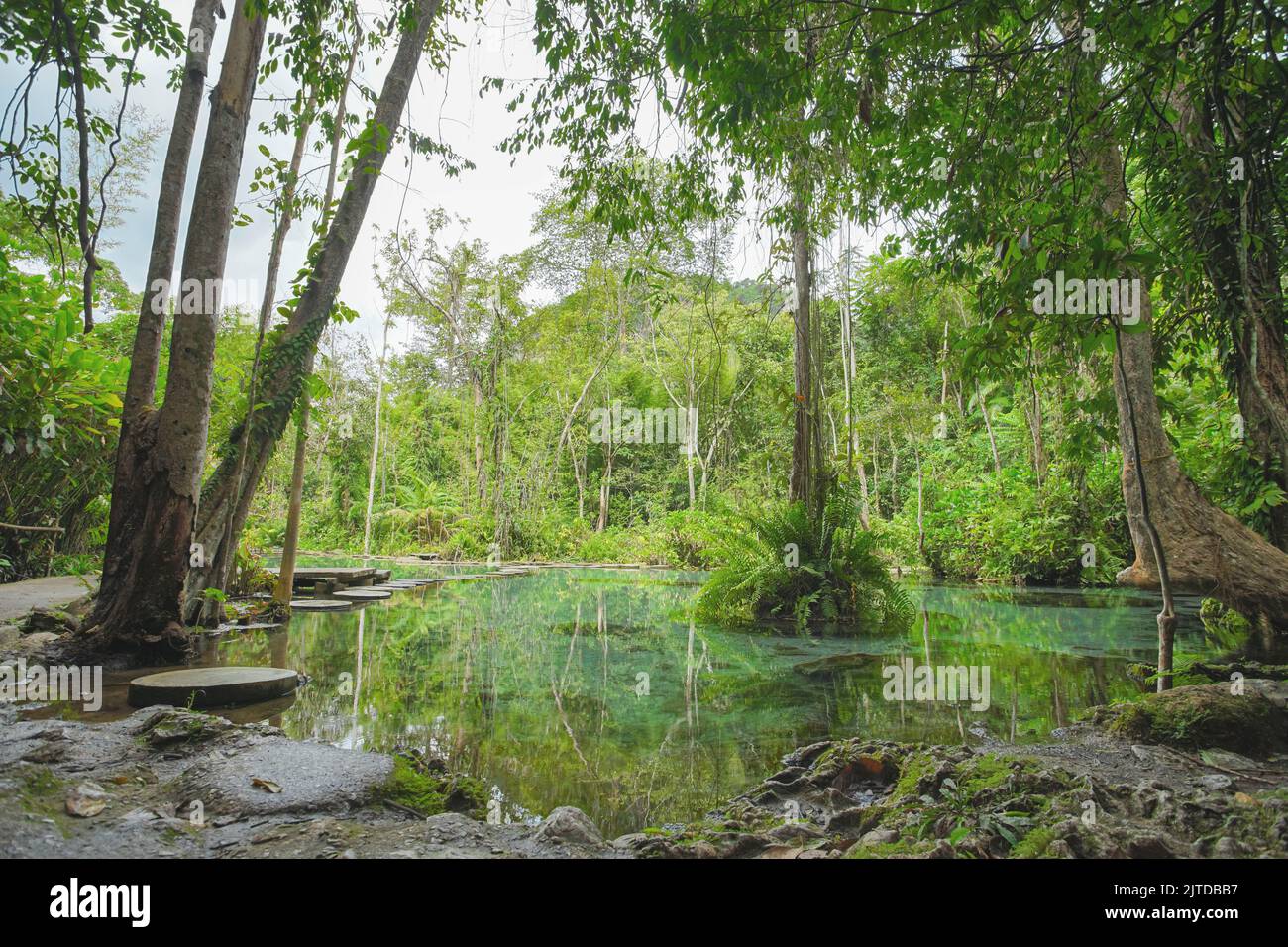 Recently popular attraction Ban Nam Rad Watershed Forest at Khiri Rat Nikhom district, Surat Thani province, Thailand. Stock Photohttps://www.alamy.com/image-license-details/?v=1https://www.alamy.com/recently-popular-attraction-ban-nam-rad-watershed-forest-at-khiri-rat-nikhom-district-surat-thani-province-thailand-image479725995.html
RF2JTDBB7–Recently popular attraction Ban Nam Rad Watershed Forest at Khiri Rat Nikhom district, Surat Thani province, Thailand.
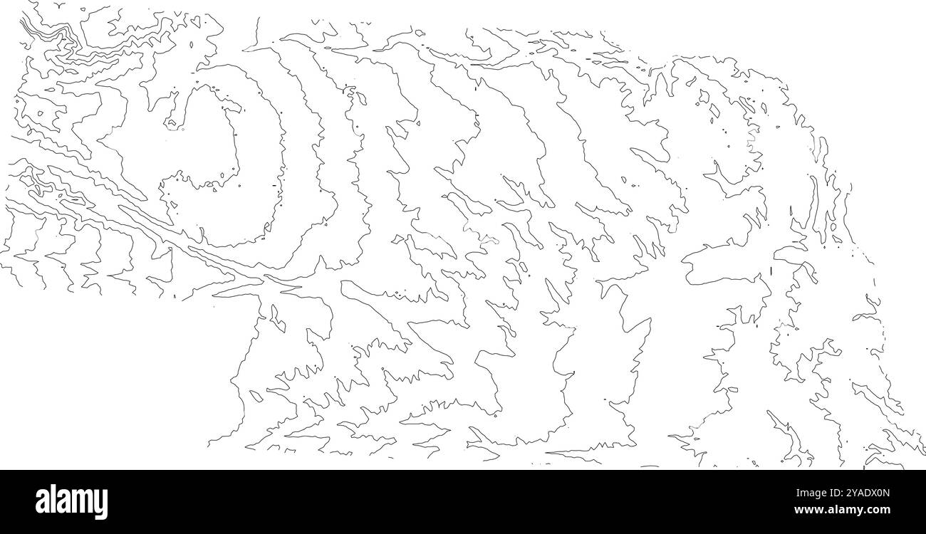 Detailed contour map of Nebraska state, showcasing its varied topography from plains to rolling hills Stock Vectorhttps://www.alamy.com/image-license-details/?v=1https://www.alamy.com/detailed-contour-map-of-nebraska-state-showcasing-its-varied-topography-from-plains-to-rolling-hills-image626025589.html
RF2YADX0N–Detailed contour map of Nebraska state, showcasing its varied topography from plains to rolling hills
 a exterior picture of an Pacific Northwest wetlands with Lilly pads in summer Stock Photohttps://www.alamy.com/image-license-details/?v=1https://www.alamy.com/a-exterior-picture-of-an-pacific-northwest-wetlands-with-lilly-pads-in-summer-image437231530.html
RF2GB9H7P–a exterior picture of an Pacific Northwest wetlands with Lilly pads in summer
 A view from the Green River overlook in Canyonlands National Park, Island in the Sky district, Utah, USA. Stock Photohttps://www.alamy.com/image-license-details/?v=1https://www.alamy.com/a-view-from-the-green-river-overlook-in-canyonlands-national-park-island-in-the-sky-district-utah-usa-image352726481.html
RM2BDT269–A view from the Green River overlook in Canyonlands National Park, Island in the Sky district, Utah, USA.
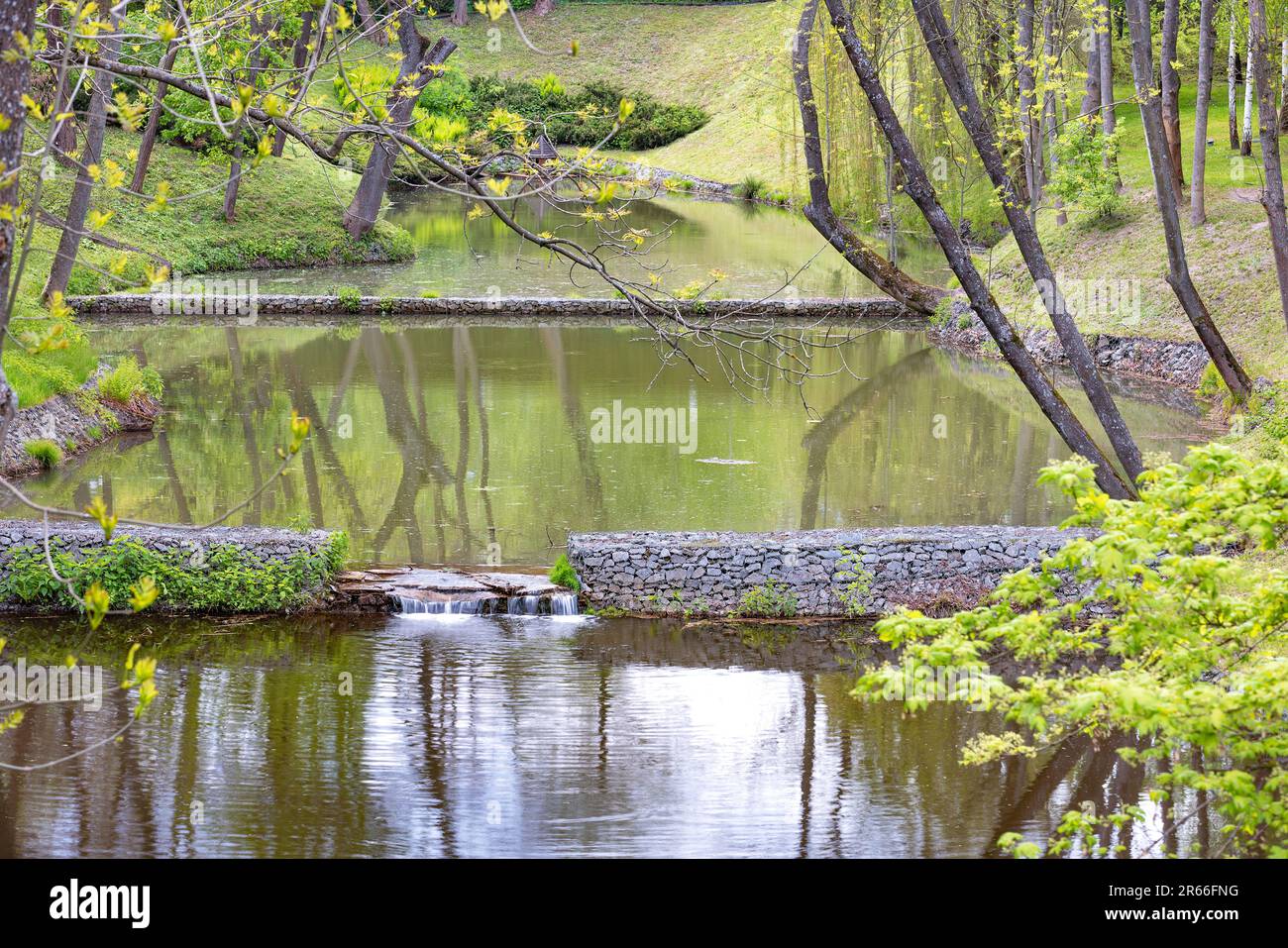 A cascading pond with stone watersheds and banks with a mini waterfall in a city park on a spring day. Stock Photohttps://www.alamy.com/image-license-details/?v=1https://www.alamy.com/a-cascading-pond-with-stone-watersheds-and-banks-with-a-mini-waterfall-in-a-city-park-on-a-spring-day-image554563788.html
RF2R66FNG–A cascading pond with stone watersheds and banks with a mini waterfall in a city park on a spring day.
 Watersheds in La Selva Biological Station, Costa Rica Stock Photohttps://www.alamy.com/image-license-details/?v=1https://www.alamy.com/stock-image-watersheds-in-la-selva-biological-station-costa-rica-166026817.html
RMKJ34W5–Watersheds in La Selva Biological Station, Costa Rica
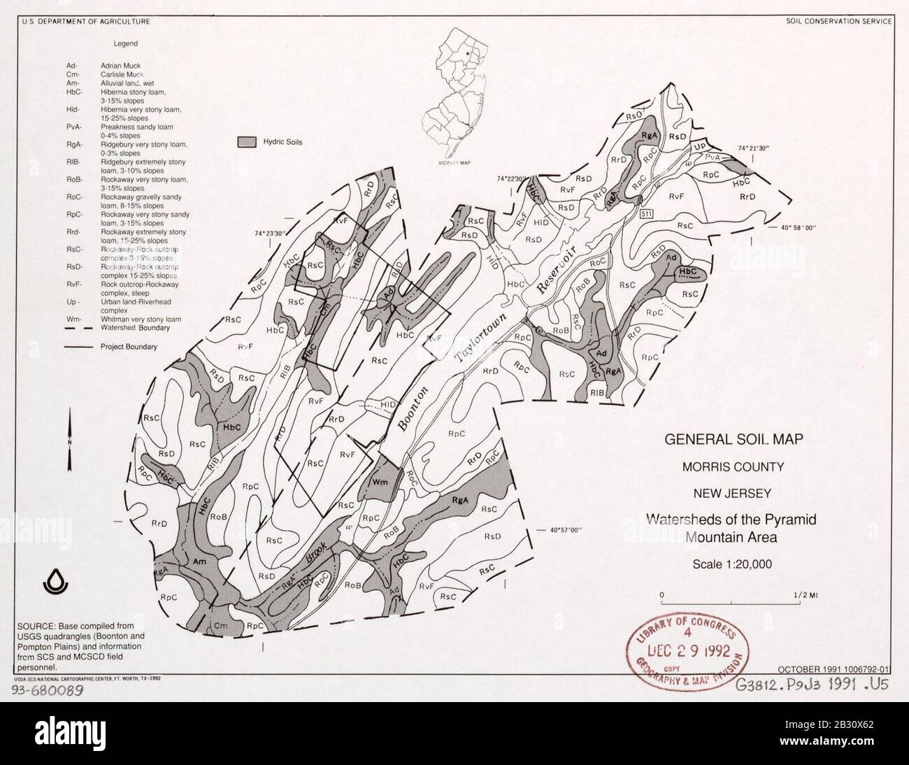 General soil map, Morris County, New Jersey, watersheds of the Pyramid Mountain area Stock Photohttps://www.alamy.com/image-license-details/?v=1https://www.alamy.com/general-soil-map-morris-county-new-jersey-watersheds-of-the-pyramid-mountain-area-image346071882.html
RM2B30X62–General soil map, Morris County, New Jersey, watersheds of the Pyramid Mountain area
 Nepenthes ampullaria growing on the tropical rainforest floor, Batang Toru watersheds, Sumatra. Stock Photohttps://www.alamy.com/image-license-details/?v=1https://www.alamy.com/stock-photo-nepenthes-ampullaria-growing-on-the-tropical-rainforest-floor-batang-75427246.html
RMEAM066–Nepenthes ampullaria growing on the tropical rainforest floor, Batang Toru watersheds, Sumatra.
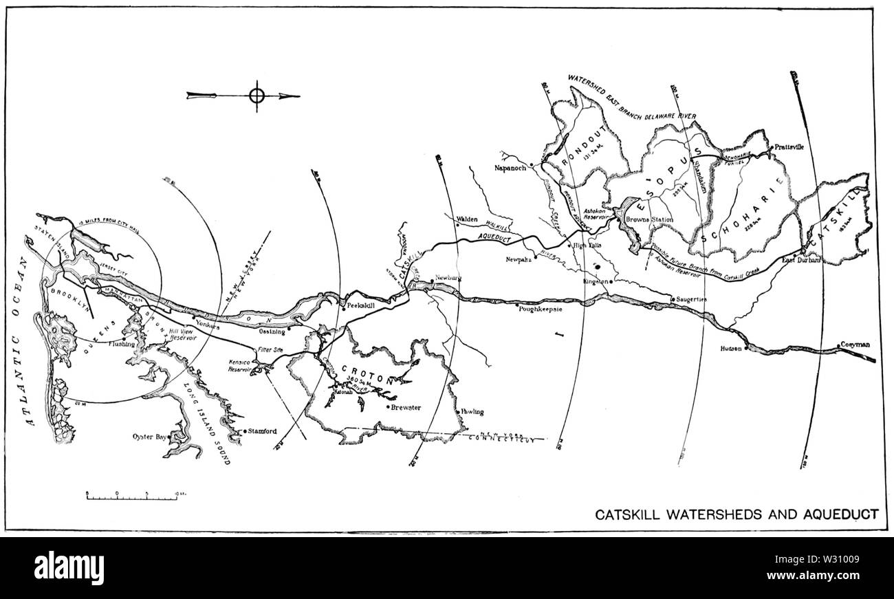 PSM V79 D103 Catskill watersheds and aqueduct Stock Photohttps://www.alamy.com/image-license-details/?v=1https://www.alamy.com/psm-v79-d103-catskill-watersheds-and-aqueduct-image260021449.html
RMW31009–PSM V79 D103 Catskill watersheds and aqueduct
 Agriculture Deputy Secretary Kathleen Merrigan announces the implementation of three showcase watersheds at the Eby-Patterson farm in Hershey, PA, on Friday, June 18, 2010. These watersheds are being established to demonstrate the effectives of water quality improvements in a confined geographic area using producer outreach efforts, innovative conservation practices, and intensive conservation planning, implementation, and monitoring. Stock Photohttps://www.alamy.com/image-license-details/?v=1https://www.alamy.com/agriculture-deputy-secretary-kathleen-merrigan-announces-the-implementation-of-three-showcase-watersheds-at-the-eby-patterson-farm-in-hershey-pa-on-friday-june-18-2010-these-watersheds-are-being-established-to-demonstrate-the-effectives-of-water-quality-improvements-in-a-confined-geographic-area-using-producer-outreach-efforts-innovative-conservation-practices-and-intensive-conservation-planning-implementation-and-monitoring-image337653027.html
RM2AH9BTK–Agriculture Deputy Secretary Kathleen Merrigan announces the implementation of three showcase watersheds at the Eby-Patterson farm in Hershey, PA, on Friday, June 18, 2010. These watersheds are being established to demonstrate the effectives of water quality improvements in a confined geographic area using producer outreach efforts, innovative conservation practices, and intensive conservation planning, implementation, and monitoring.
 usdagov 25100257221 The Black Brook Watershed’s landscape Stock Photohttps://www.alamy.com/image-license-details/?v=1https://www.alamy.com/stock-photo-usdagov-25100257221-the-black-brook-watersheds-landscape-126668140.html
RMHA26E4–usdagov 25100257221 The Black Brook Watershed’s landscape
 Map of the route of the new Croton Aqueduct, old aqueduct and Bronx River pipe line: also the watersheds of the Croton, Bronx and Byram rivers 1899 Stock Photohttps://www.alamy.com/image-license-details/?v=1https://www.alamy.com/map-of-the-route-of-the-new-croton-aqueduct-old-aqueduct-and-bronx-river-pipe-line-also-the-watersheds-of-the-croton-bronx-and-byram-rivers-1899-image633218762.html
RM2YP5GYP–Map of the route of the new Croton Aqueduct, old aqueduct and Bronx River pipe line: also the watersheds of the Croton, Bronx and Byram rivers 1899
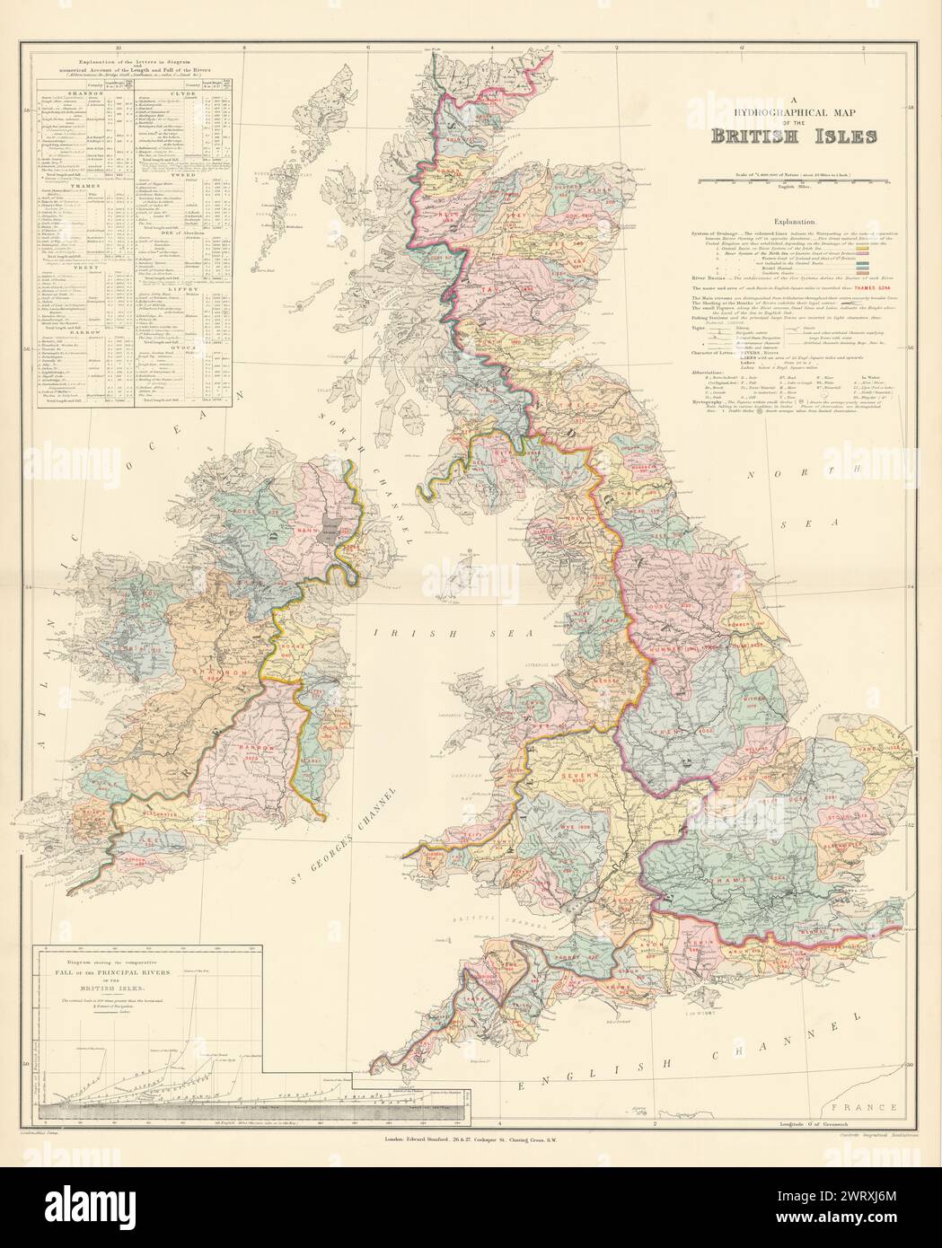 British Isles hydrographical. Watersheds River drainage basins STANFORD 1896 map Stock Photohttps://www.alamy.com/image-license-details/?v=1https://www.alamy.com/british-isles-hydrographical-watersheds-river-drainage-basins-stanford-1896-map-image599874652.html
RF2WRXJ6M–British Isles hydrographical. Watersheds River drainage basins STANFORD 1896 map
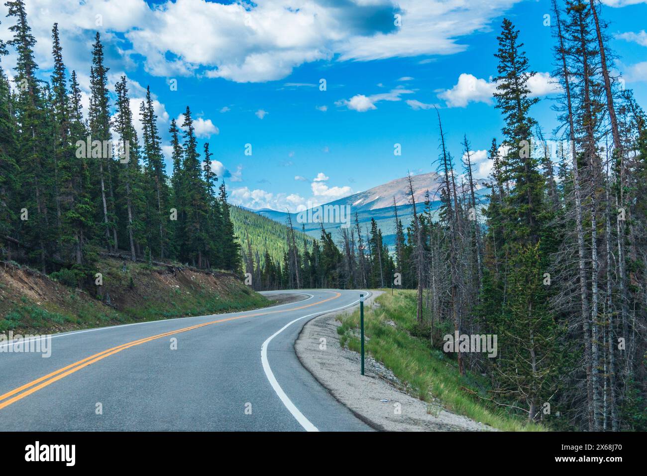 Colorado State Highway 9 through Hoosier Pass. Stock Photohttps://www.alamy.com/image-license-details/?v=1https://www.alamy.com/colorado-state-highway-9-through-hoosier-pass-image606240740.html
RM2X68J70–Colorado State Highway 9 through Hoosier Pass.
 Parc naturel de Te Faaiti preserves Tahiti's few undisturbed watersheds, French Polynesia Stock Photohttps://www.alamy.com/image-license-details/?v=1https://www.alamy.com/stock-photo-parc-naturel-de-te-faaiti-preserves-tahitis-few-undisturbed-watersheds-24181560.html
RMBB9FR4–Parc naturel de Te Faaiti preserves Tahiti's few undisturbed watersheds, French Polynesia
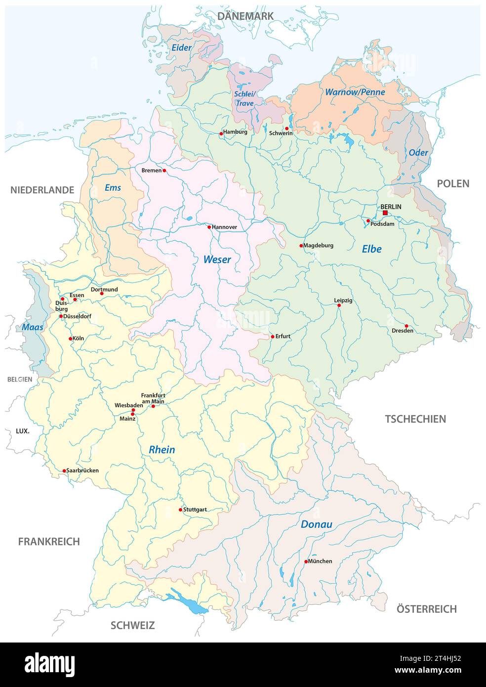 Detailed map of the watersheds in Germany, in German language Stock Photohttps://www.alamy.com/image-license-details/?v=1https://www.alamy.com/detailed-map-of-the-watersheds-in-germany-in-german-language-image570788206.html
RF2T4HJ52–Detailed map of the watersheds in Germany, in German language
 Drone Image, Tecopa, California, Watersheds, Inyo County, Aerial View, Landscape, Scenic, Topography Stock Photohttps://www.alamy.com/image-license-details/?v=1https://www.alamy.com/drone-image-tecopa-california-watersheds-inyo-county-aerial-view-landscape-scenic-topography-image596210957.html
RF2WHYN4D–Drone Image, Tecopa, California, Watersheds, Inyo County, Aerial View, Landscape, Scenic, Topography
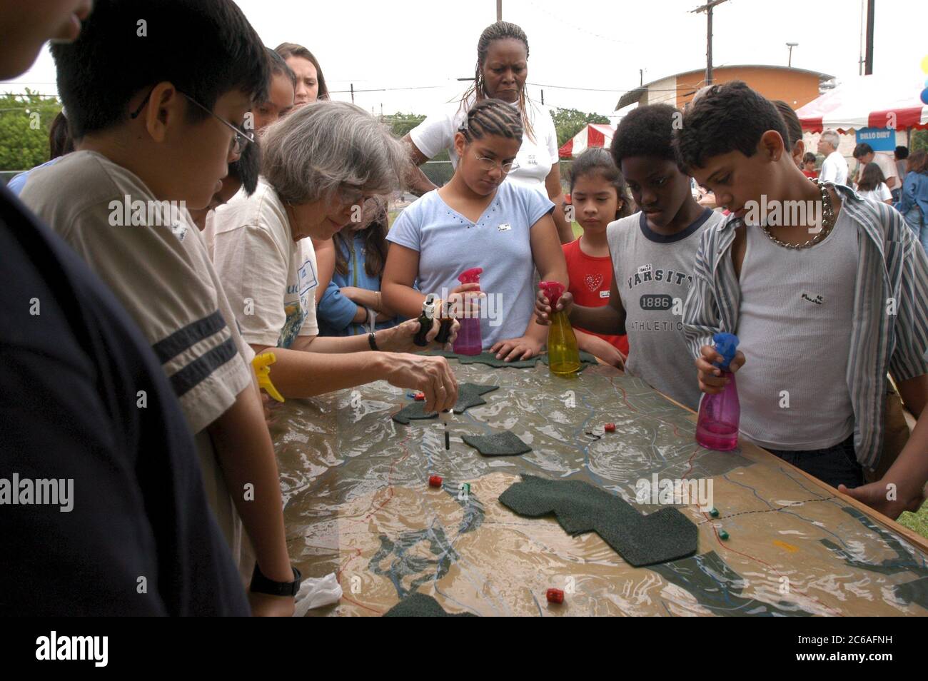 Austin Texas USA, April, 2004: Middle school students 6th and 7th grade learn about water and wastewater issues at City of Austin-sponsored Blue Thumb outdoor science event. Students use stream table to test water flow on watersheds and wetlands. Texas ©Bob Daemmrich Stock Photohttps://www.alamy.com/image-license-details/?v=1https://www.alamy.com/austin-texas-usa-april-2004-middle-school-students-6th-and-7th-grade-learn-about-water-and-wastewater-issues-at-city-of-austin-sponsored-blue-thumb-outdoor-science-event-students-use-stream-table-to-test-water-flow-on-watersheds-and-wetlands-texas-bob-daemmrich-image365337549.html
RM2C6AFNH–Austin Texas USA, April, 2004: Middle school students 6th and 7th grade learn about water and wastewater issues at City of Austin-sponsored Blue Thumb outdoor science event. Students use stream table to test water flow on watersheds and wetlands. Texas ©Bob Daemmrich
 Coronado National Memorial, Hereford, Arizona, USA. Looking into Sonora, Mexico, from Arizona, border activity, watersheds, wildlife corridor. Stock Photohttps://www.alamy.com/image-license-details/?v=1https://www.alamy.com/coronado-national-memorial-hereford-arizona-usa-looking-into-sonora-mexico-from-arizona-border-activity-watersheds-wildlife-corridor-image337584942.html
RM2AH6912–Coronado National Memorial, Hereford, Arizona, USA. Looking into Sonora, Mexico, from Arizona, border activity, watersheds, wildlife corridor.
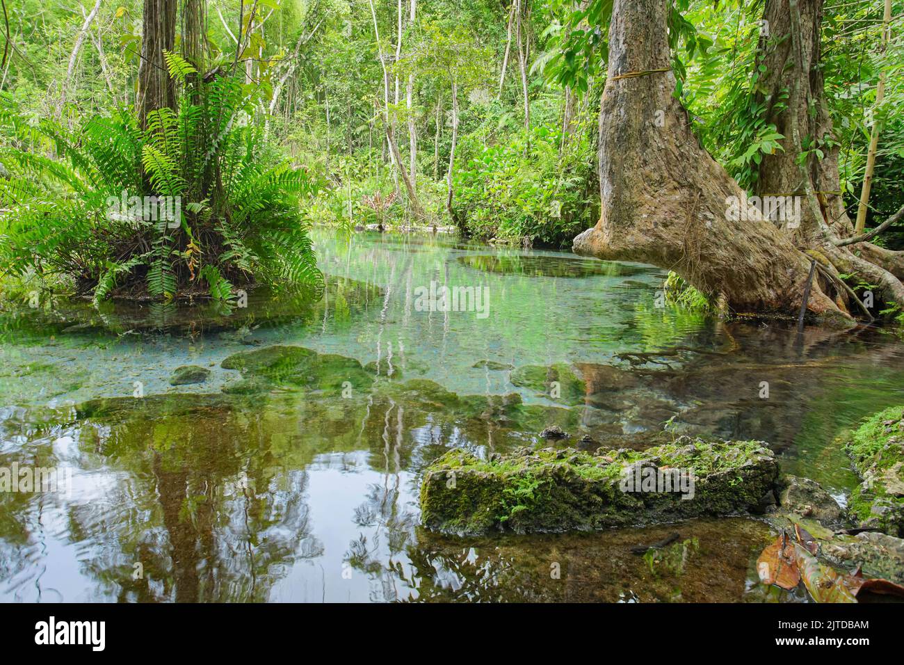 Recently popular attraction Ban Nam Rad Watershed Forest at Khiri Rat Nikhom district, Surat Thani province, Thailand. Stock Photohttps://www.alamy.com/image-license-details/?v=1https://www.alamy.com/recently-popular-attraction-ban-nam-rad-watershed-forest-at-khiri-rat-nikhom-district-surat-thani-province-thailand-image479725980.html
RF2JTDBAM–Recently popular attraction Ban Nam Rad Watershed Forest at Khiri Rat Nikhom district, Surat Thani province, Thailand.
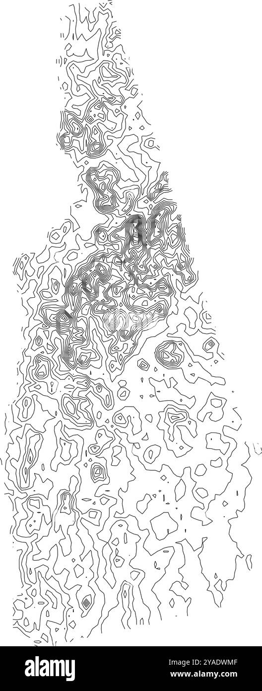 Comprehensive contour map of New Hampshire state, illustrating its varied topography from coastal areas to the White Mountains Stock Vectorhttps://www.alamy.com/image-license-details/?v=1https://www.alamy.com/comprehensive-contour-map-of-new-hampshire-state-illustrating-its-varied-topography-from-coastal-areas-to-the-white-mountains-image626025359.html
RF2YADWMF–Comprehensive contour map of New Hampshire state, illustrating its varied topography from coastal areas to the White Mountains
 a exterior picture of an Pacific Northwest wetlands with Lilly pads in summer Stock Photohttps://www.alamy.com/image-license-details/?v=1https://www.alamy.com/a-exterior-picture-of-an-pacific-northwest-wetlands-with-lilly-pads-in-summer-image437229059.html
RF2GB9E3F–a exterior picture of an Pacific Northwest wetlands with Lilly pads in summer
 Mount Holomon, Chalkidiki, or Halkidiki, Makedonia, Greece Stock Photohttps://www.alamy.com/image-license-details/?v=1https://www.alamy.com/mount-holomon-chalkidiki-or-halkidiki-makedonia-greece-image338837188.html
RF2AK7A84–Mount Holomon, Chalkidiki, or Halkidiki, Makedonia, Greece
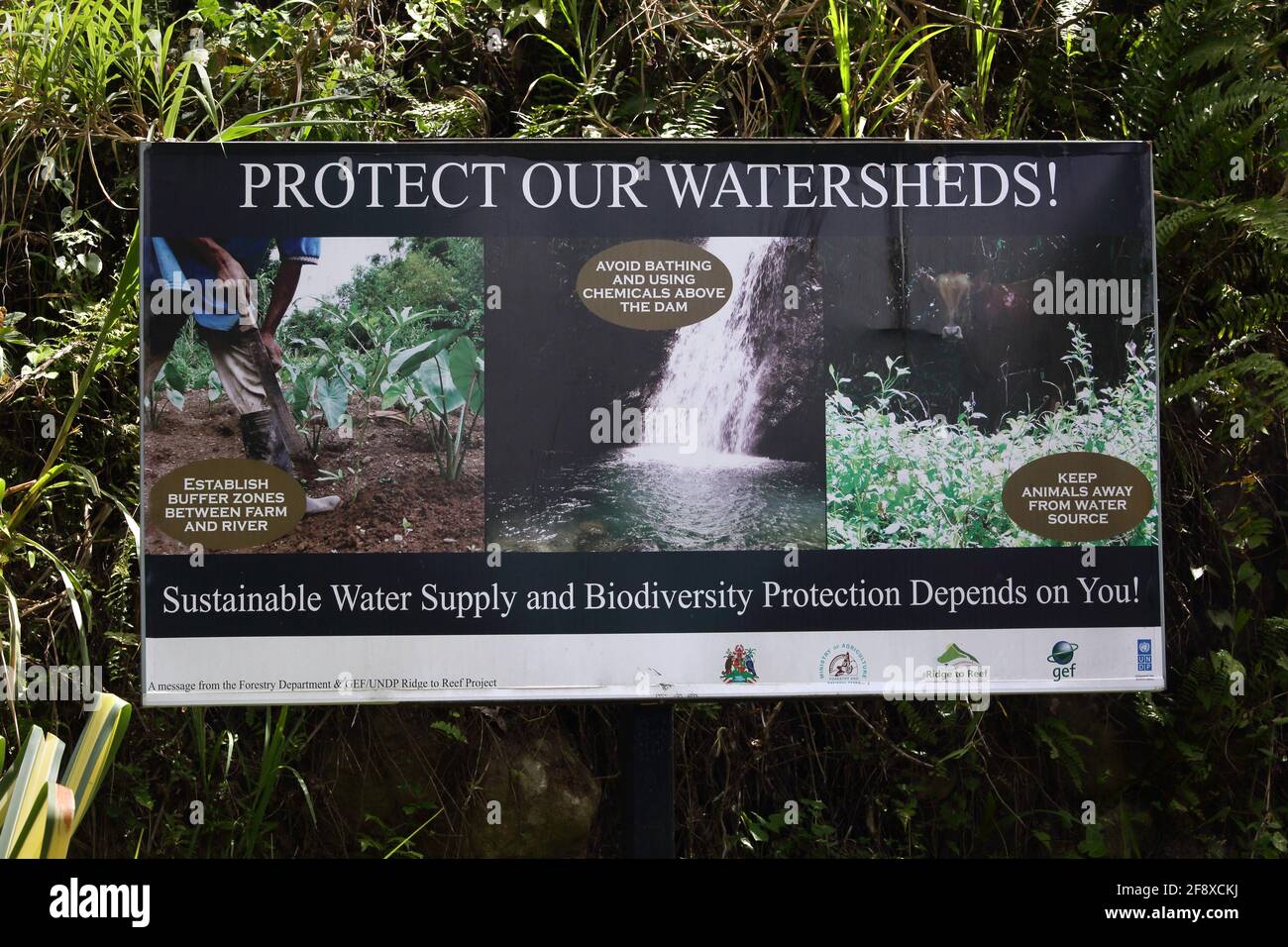 Grenada billboard protect our Watersheds Sustainable Water Supply Biodiversity protection near the Dougaldston Estate Stock Photohttps://www.alamy.com/image-license-details/?v=1https://www.alamy.com/grenada-billboard-protect-our-watersheds-sustainable-water-supply-biodiversity-protection-near-the-dougaldston-estate-image418546790.html
RM2F8XCKJ–Grenada billboard protect our Watersheds Sustainable Water Supply Biodiversity protection near the Dougaldston Estate
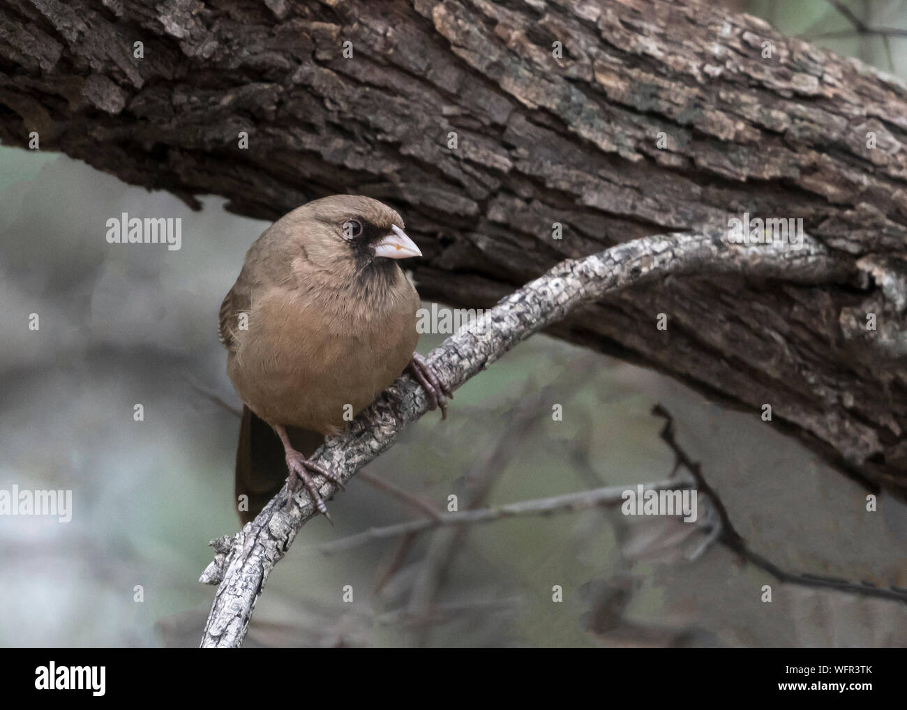 Albert's Towhee (Pipilo aberti), native to a small range in southwestern North America, generally the lower Colorado River and Gila River watersheds Stock Photohttps://www.alamy.com/image-license-details/?v=1https://www.alamy.com/alberts-towhee-pipilo-aberti-native-to-a-small-range-in-southwestern-north-america-generally-the-lower-colorado-river-and-gila-river-watersheds-image267883299.html
RFWFR3TK–Albert's Towhee (Pipilo aberti), native to a small range in southwestern North America, generally the lower Colorado River and Gila River watersheds
 Louisiana watersheds. Stock Photohttps://www.alamy.com/image-license-details/?v=1https://www.alamy.com/louisiana-watersheds-image396827636.html
RM2E1H1KG–Louisiana watersheds.
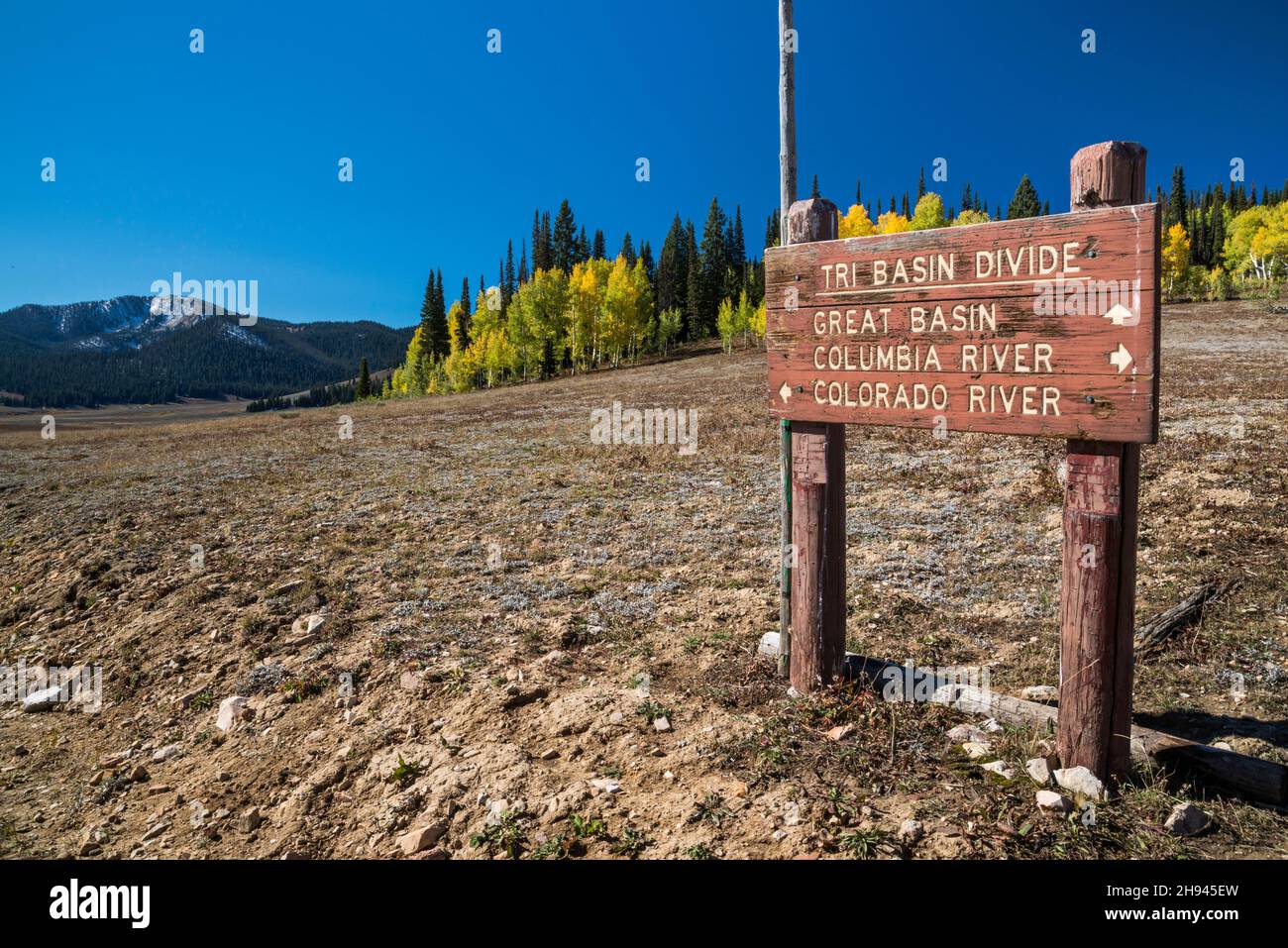 Sign at Tri Basin Divide, separating Great Basin, Columbia River and Colorado River watersheds, Greys River Rd, Bridger Teton National Forest, Wyoming Stock Photohttps://www.alamy.com/image-license-details/?v=1https://www.alamy.com/sign-at-tri-basin-divide-separating-great-basin-columbia-river-and-colorado-river-watersheds-greys-river-rd-bridger-teton-national-forest-wyoming-image453093617.html
RF2H945EW–Sign at Tri Basin Divide, separating Great Basin, Columbia River and Colorado River watersheds, Greys River Rd, Bridger Teton National Forest, Wyoming
 Road Closed - Flooding and water damage in the Park and Tongue River Watersheds located in Cavalier, Pembina and Cavalaier Counties in ND on Thursday, Stock Photohttps://www.alamy.com/image-license-details/?v=1https://www.alamy.com/road-closed-flooding-and-water-damage-in-the-park-and-tongue-river-watersheds-located-in-cavalier-pembina-and-cavalaier-counties-in-nd-on-thursday-image263430943.html
RMW8G8RY–Road Closed - Flooding and water damage in the Park and Tongue River Watersheds located in Cavalier, Pembina and Cavalaier Counties in ND on Thursday,
 Agriculture Deputy Secretary Kathleen Merrigan announces the implementation of three showcase watersheds at the Eby-Patterson farm in Hershey, PA, on Friday, June 18, 2010. These watersheds are being established to demonstrate the effectives of water quality improvements in a confined geographic area using producer outreach efforts, innovative conservation practices, and intensive conservation planning, implementation, and monitoring. (Seated to left of Deputy Secretary is U. S. Congressman (PA-17th District) Tim Holden, Interior Department Deputy Assistant Secretary for Water and Science Dea Stock Photohttps://www.alamy.com/image-license-details/?v=1https://www.alamy.com/agriculture-deputy-secretary-kathleen-merrigan-announces-the-implementation-of-three-showcase-watersheds-at-the-eby-patterson-farm-in-hershey-pa-on-friday-june-18-2010-these-watersheds-are-being-established-to-demonstrate-the-effectives-of-water-quality-improvements-in-a-confined-geographic-area-using-producer-outreach-efforts-innovative-conservation-practices-and-intensive-conservation-planning-implementation-and-monitoring-seated-to-left-of-deputy-secretary-is-u-s-congressman-pa-17th-district-tim-holden-interior-department-deputy-assistant-secretary-for-water-and-science-dea-image337653094.html
RM2AH9BY2–Agriculture Deputy Secretary Kathleen Merrigan announces the implementation of three showcase watersheds at the Eby-Patterson farm in Hershey, PA, on Friday, June 18, 2010. These watersheds are being established to demonstrate the effectives of water quality improvements in a confined geographic area using producer outreach efforts, innovative conservation practices, and intensive conservation planning, implementation, and monitoring. (Seated to left of Deputy Secretary is U. S. Congressman (PA-17th District) Tim Holden, Interior Department Deputy Assistant Secretary for Water and Science Dea
 Office of Water - Office of Wetlands, Oceans, and Watersheds , Environmental Protection Agency Stock Photohttps://www.alamy.com/image-license-details/?v=1https://www.alamy.com/office-of-water-office-of-wetlands-oceans-and-watersheds-environmental-protection-agency-image499365775.html
RM2M0C23Y–Office of Water - Office of Wetlands, Oceans, and Watersheds , Environmental Protection Agency
 Map of the route of the new Croton Aqueduct, present aqueduct and Bronx River pipe line also the watersheds of the Croton, Bronx and Byram rivers, 1887 1887 Stock Photohttps://www.alamy.com/image-license-details/?v=1https://www.alamy.com/map-of-the-route-of-the-new-croton-aqueduct-present-aqueduct-and-bronx-river-pipe-line-also-the-watersheds-of-the-croton-bronx-and-byram-rivers-1887-1887-image633218758.html
RM2YP5GYJ–Map of the route of the new Croton Aqueduct, present aqueduct and Bronx River pipe line also the watersheds of the Croton, Bronx and Byram rivers, 1887 1887
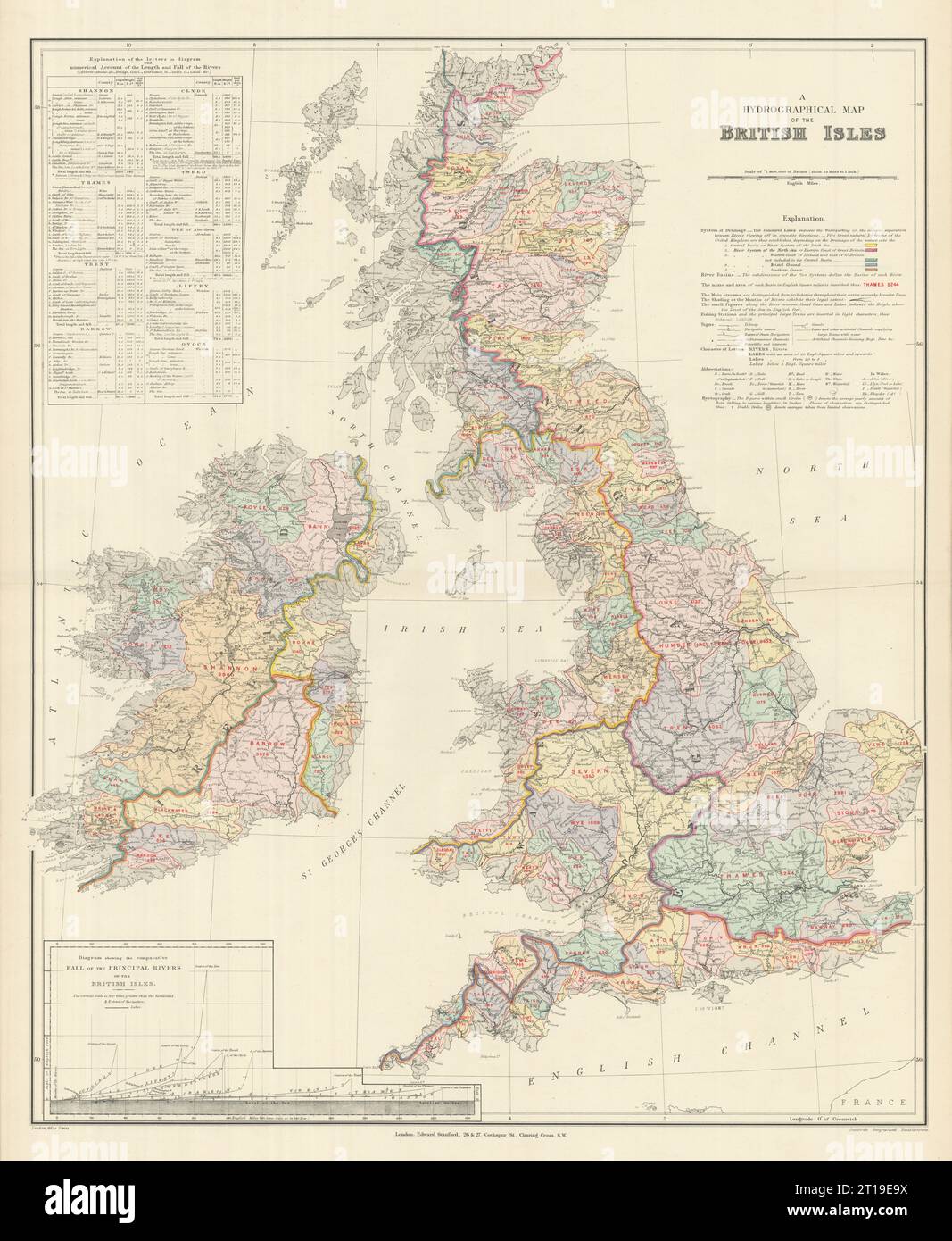 British Isles hydrographical. Watersheds River drainage basins STANFORD 1894 map Stock Photohttps://www.alamy.com/image-license-details/?v=1https://www.alamy.com/british-isles-hydrographical-watersheds-river-drainage-basins-stanford-1894-map-image568765622.html
RF2T19E9X–British Isles hydrographical. Watersheds River drainage basins STANFORD 1894 map
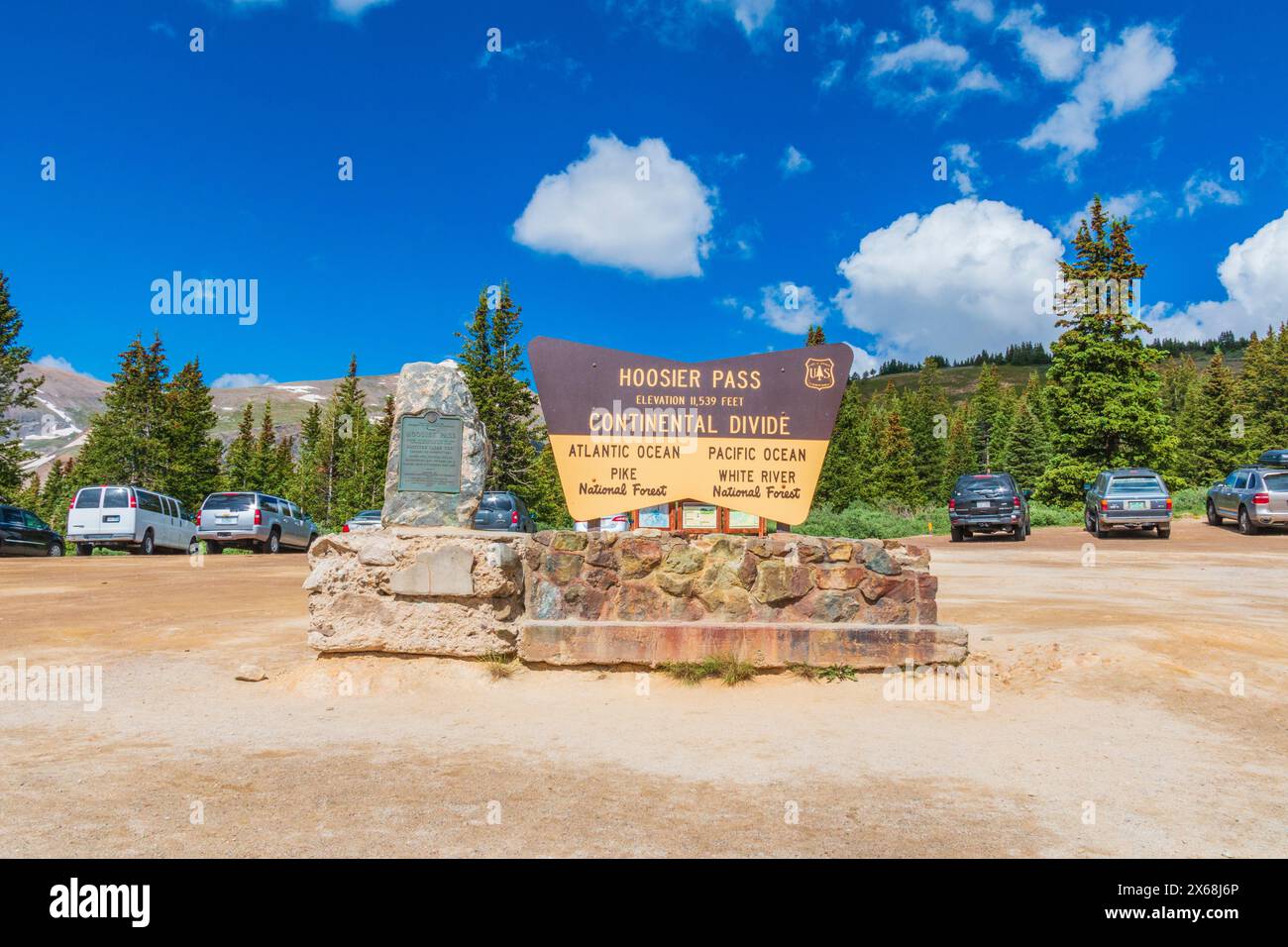 Hoosier Pass, at 11, 539 feet, is a high mountain pass in the Rocky Mountains in Colorado. The pass is located on the Continental Divide at the northe Stock Photohttps://www.alamy.com/image-license-details/?v=1https://www.alamy.com/hoosier-pass-at-11-539-feet-is-a-high-mountain-pass-in-the-rocky-mountains-in-colorado-the-pass-is-located-on-the-continental-divide-at-the-northe-image606240734.html
RM2X68J6P–Hoosier Pass, at 11, 539 feet, is a high mountain pass in the Rocky Mountains in Colorado. The pass is located on the Continental Divide at the northe
 Ecologically significant wetlands in the Missouri headwaters - Jefferson, lower Madison, lower Gallatin, and upper Red Rock River watersheds (2004) Stock Photohttps://www.alamy.com/image-license-details/?v=1https://www.alamy.com/stock-photo-ecologically-significant-wetlands-in-the-missouri-headwaters-jefferson-101158258.html
RMFTG4AX–Ecologically significant wetlands in the Missouri headwaters - Jefferson, lower Madison, lower Gallatin, and upper Red Rock River watersheds (2004)
 U.S. Army Corps of Engineers, Buffalo District Leadership Development Program I participants perform a hands-on demonstration to educate local high school students about watersheds and how Corps of Engineers' careers and projects can play a role in watersheds, May 11, 2022. Stock Photohttps://www.alamy.com/image-license-details/?v=1https://www.alamy.com/us-army-corps-of-engineers-buffalo-district-leadership-development-program-i-participants-perform-a-hands-on-demonstration-to-educate-local-high-school-students-about-watersheds-and-how-corps-of-engineers-careers-and-projects-can-play-a-role-in-watersheds-may-11-2022-image503913526.html
RM2M7R6RJ–U.S. Army Corps of Engineers, Buffalo District Leadership Development Program I participants perform a hands-on demonstration to educate local high school students about watersheds and how Corps of Engineers' careers and projects can play a role in watersheds, May 11, 2022.
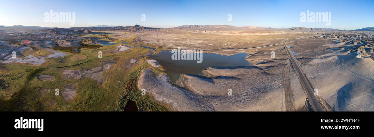 Drone Image, Tecopa, California, Watersheds, Inyo County, Aerial View, Landscape, Scenic, Topography Stock Photohttps://www.alamy.com/image-license-details/?v=1https://www.alamy.com/drone-image-tecopa-california-watersheds-inyo-county-aerial-view-landscape-scenic-topography-image596210959.html
RF2WHYN4F–Drone Image, Tecopa, California, Watersheds, Inyo County, Aerial View, Landscape, Scenic, Topography
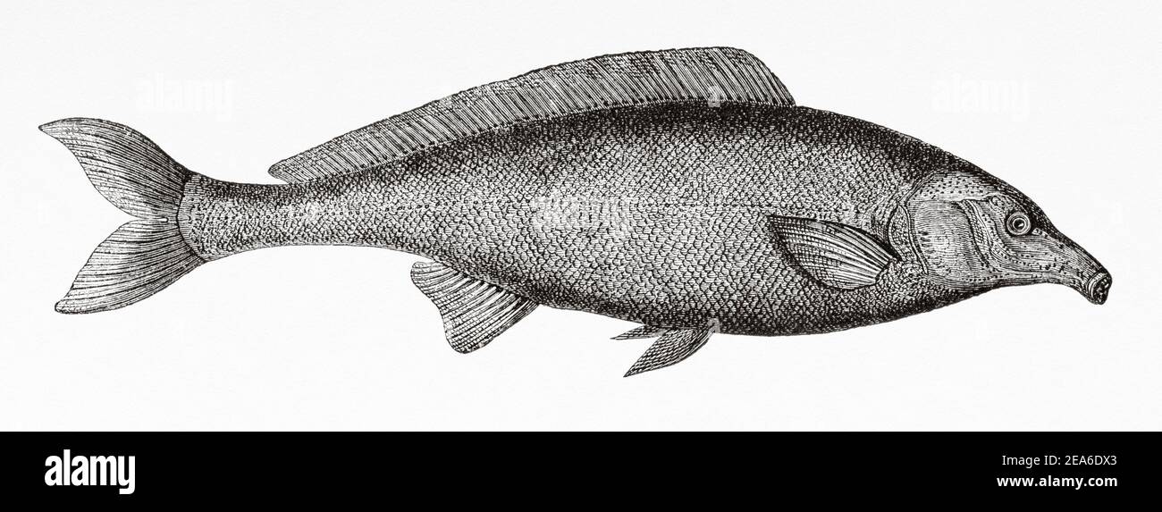 Gnathonemus petersii. A species of electric elephant fish in the Mormyridae family present in several watersheds in Africa, including the Nile River and lakes Victoria, Kyoga, Alberto, Eduardo and George. It is native to Burundi, Egypt, Ethiopia, Kenya, Rwanda, Sudan, Tanzania, and Uganda. Old 19th century engraved illustration from El Mundo Ilustrado 1879 Stock Photohttps://www.alamy.com/image-license-details/?v=1https://www.alamy.com/gnathonemus-petersii-a-species-of-electric-elephant-fish-in-the-mormyridae-family-present-in-several-watersheds-in-africa-including-the-nile-river-and-lakes-victoria-kyoga-alberto-eduardo-and-george-it-is-native-to-burundi-egypt-ethiopia-kenya-rwanda-sudan-tanzania-and-uganda-old-19th-century-engraved-illustration-from-el-mundo-ilustrado-1879-image402127659.html
RM2EA6DX3–Gnathonemus petersii. A species of electric elephant fish in the Mormyridae family present in several watersheds in Africa, including the Nile River and lakes Victoria, Kyoga, Alberto, Eduardo and George. It is native to Burundi, Egypt, Ethiopia, Kenya, Rwanda, Sudan, Tanzania, and Uganda. Old 19th century engraved illustration from El Mundo Ilustrado 1879
 Coronado National Memorial, Hereford, Arizona, USA. Looking into Sonora, Mexico, from Arizona, border activity, watersheds, wildlife corridor. Stock Photohttps://www.alamy.com/image-license-details/?v=1https://www.alamy.com/coronado-national-memorial-hereford-arizona-usa-looking-into-sonora-mexico-from-arizona-border-activity-watersheds-wildlife-corridor-image337584612.html
RM2AH68H8–Coronado National Memorial, Hereford, Arizona, USA. Looking into Sonora, Mexico, from Arizona, border activity, watersheds, wildlife corridor.
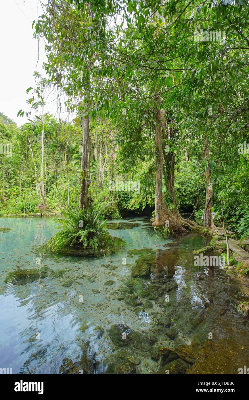 Recently popular attraction Ban Nam Rad Watershed Forest at Khiri Rat Nikhom district, Surat Thani province, Thailand. Stock Photohttps://www.alamy.com/image-license-details/?v=1https://www.alamy.com/recently-popular-attraction-ban-nam-rad-watershed-forest-at-khiri-rat-nikhom-district-surat-thani-province-thailand-image479726000.html
RF2JTDBBC–Recently popular attraction Ban Nam Rad Watershed Forest at Khiri Rat Nikhom district, Surat Thani province, Thailand.
 Comprehensive contour map of the U.S. Virgin Islands, illustrating the topography of St. Thomas, St. John, and St. Croix Stock Vectorhttps://www.alamy.com/image-license-details/?v=1https://www.alamy.com/comprehensive-contour-map-of-the-us-virgin-islands-illustrating-the-topography-of-st-thomas-st-john-and-st-croix-image626025601.html
RF2YADX15–Comprehensive contour map of the U.S. Virgin Islands, illustrating the topography of St. Thomas, St. John, and St. Croix
 a exterior picture of an Pacific Northwest wetlands with Lilly pads in summer Stock Photohttps://www.alamy.com/image-license-details/?v=1https://www.alamy.com/a-exterior-picture-of-an-pacific-northwest-wetlands-with-lilly-pads-in-summer-image437228995.html
RF2GB9E17–a exterior picture of an Pacific Northwest wetlands with Lilly pads in summer
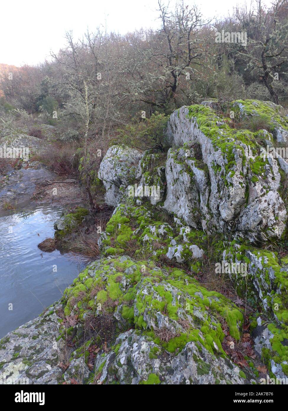 Mount Holomon, Chalkidiki, or Halkidiki, Makedonia, Greece Stock Photohttps://www.alamy.com/image-license-details/?v=1https://www.alamy.com/mount-holomon-chalkidiki-or-halkidiki-makedonia-greece-image338837946.html
RF2AK7B76–Mount Holomon, Chalkidiki, or Halkidiki, Makedonia, Greece
 Buffaloes belonging to a local farmer graze in the area through which the canal will pass. Fifty percent of the area reserved for the canal is used for agriculture and livestock, while 20% includes meadows, forests, and watersheds key to the survival of the large city. The Erdo?an government will begin work this summer to open a new waterway north of Istanbul. This controversial mega-project will have irreversible environmental consequences. The construction of a luxury residential area along the canal will also cause the displacement of thousands of people currently living in the area. Stock Photohttps://www.alamy.com/image-license-details/?v=1https://www.alamy.com/buffaloes-belonging-to-a-local-farmer-graze-in-the-area-through-which-the-canal-will-pass-fifty-percent-of-the-area-reserved-for-the-canal-is-used-for-agriculture-and-livestock-while-20-includes-meadows-forests-and-watersheds-key-to-the-survival-of-the-large-city-the-erdoan-government-will-begin-work-this-summer-to-open-a-new-waterway-north-of-istanbul-this-controversial-mega-project-will-have-irreversible-environmental-consequences-the-construction-of-a-luxury-residential-area-along-the-canal-will-also-cause-the-displacement-of-thousands-of-people-currently-living-in-the-area-image430837808.html
RM2G0XA0G–Buffaloes belonging to a local farmer graze in the area through which the canal will pass. Fifty percent of the area reserved for the canal is used for agriculture and livestock, while 20% includes meadows, forests, and watersheds key to the survival of the large city. The Erdo?an government will begin work this summer to open a new waterway north of Istanbul. This controversial mega-project will have irreversible environmental consequences. The construction of a luxury residential area along the canal will also cause the displacement of thousands of people currently living in the area.
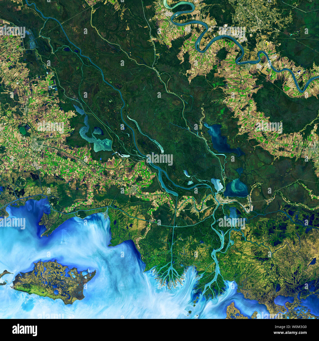 A new study shows that winds are responsible for the widespread growth of ponds in three watersheds along the Mississippi River. The paper, published in April 2017 in Geophysical Research Letters, shows that wind-driven waves can erode pond banks, leading them to migrate in the direction of the wind. In effect, researchers have shown that wind-driven erosion, which nibbles away coastlines and the edges of larger bodies of water, can also happen inland on small scales. The false-color image above shows the area of study along the Atchafalaya Delta. It was captured on December 1, 2016, by the Op Stock Photohttps://www.alamy.com/image-license-details/?v=1https://www.alamy.com/a-new-study-shows-that-winds-are-responsible-for-the-widespread-growth-of-ponds-in-three-watersheds-along-the-mississippi-river-the-paper-published-in-april-2017-in-geophysical-research-letters-shows-that-wind-driven-waves-can-erode-pond-banks-leading-them-to-migrate-in-the-direction-of-the-wind-in-effect-researchers-have-shown-that-wind-driven-erosion-which-nibbles-away-coastlines-and-the-edges-of-larger-bodies-of-water-can-also-happen-inland-on-small-scales-the-false-color-image-above-shows-the-area-of-study-along-the-atchafalaya-delta-it-was-captured-on-december-1-2016-by-the-op-image258597360.html
RMW0M3G0–A new study shows that winds are responsible for the widespread growth of ponds in three watersheds along the Mississippi River. The paper, published in April 2017 in Geophysical Research Letters, shows that wind-driven waves can erode pond banks, leading them to migrate in the direction of the wind. In effect, researchers have shown that wind-driven erosion, which nibbles away coastlines and the edges of larger bodies of water, can also happen inland on small scales. The false-color image above shows the area of study along the Atchafalaya Delta. It was captured on December 1, 2016, by the Op
 Hydrologic units and sub-watersheds, 1990, Georgia Stock Photohttps://www.alamy.com/image-license-details/?v=1https://www.alamy.com/hydrologic-units-and-sub-watersheds-1990-georgia-image356432286.html
RM2BKTW0E–Hydrologic units and sub-watersheds, 1990, Georgia
 Changsha city scenery Stock Photohttps://www.alamy.com/image-license-details/?v=1https://www.alamy.com/changsha-city-scenery-image248058723.html
RFTBG1C3–Changsha city scenery
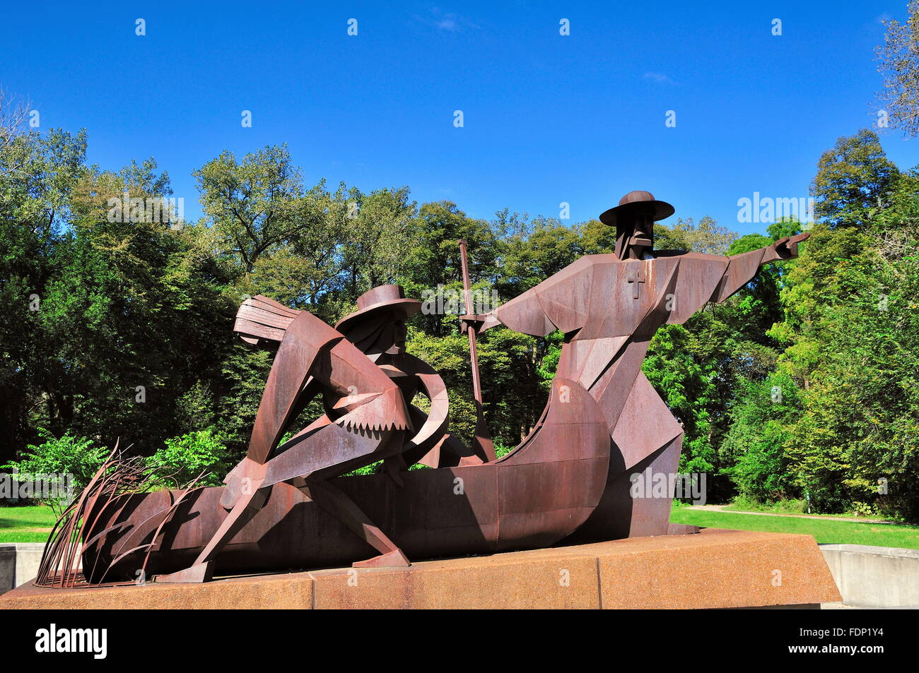 Chicago Portage is a water gap connecting the watersheds and navigable waterways of the Mississippi River and the Great Lakes. Lyons, Illinois, USA. Stock Photohttps://www.alamy.com/image-license-details/?v=1https://www.alamy.com/stock-photo-chicago-portage-is-a-water-gap-connecting-the-watersheds-and-navigable-94526856.html
RMFDP1Y4–Chicago Portage is a water gap connecting the watersheds and navigable waterways of the Mississippi River and the Great Lakes. Lyons, Illinois, USA.
 The U. S. Department of Agriculture selected three watershed areas, Conewago Creek in Pennsylvania (pictured), Smith Creek in Virginia, and Upper Chester River in Maryland as part of the Chesapeake Showcase Watershed Project. The watershed project will utilize the collective energies of Federal, State, and local partners to help landowners and communities use their land in sustainable ways that do not harm water quality. If these watersheds are successfully restored they may become models for the six states involved in restoring the Chesapeake Bay. Conewago Creek watershed covers 33,606 acres Stock Photohttps://www.alamy.com/image-license-details/?v=1https://www.alamy.com/the-u-s-department-of-agriculture-selected-three-watershed-areas-conewago-creek-in-pennsylvania-pictured-smith-creek-in-virginia-and-upper-chester-river-in-maryland-as-part-of-the-chesapeake-showcase-watershed-project-the-watershed-project-will-utilize-the-collective-energies-of-federal-state-and-local-partners-to-help-landowners-and-communities-use-their-land-in-sustainable-ways-that-do-not-harm-water-quality-if-these-watersheds-are-successfully-restored-they-may-become-models-for-the-six-states-involved-in-restoring-the-chesapeake-bay-conewago-creek-watershed-covers-33606-acres-image337653221.html
RM2AH9C3H–The U. S. Department of Agriculture selected three watershed areas, Conewago Creek in Pennsylvania (pictured), Smith Creek in Virginia, and Upper Chester River in Maryland as part of the Chesapeake Showcase Watershed Project. The watershed project will utilize the collective energies of Federal, State, and local partners to help landowners and communities use their land in sustainable ways that do not harm water quality. If these watersheds are successfully restored they may become models for the six states involved in restoring the Chesapeake Bay. Conewago Creek watershed covers 33,606 acres
 Office of Water - Office of Wetlands, Oceans, and Watersheds , Environmental Protection Agency Stock Photohttps://www.alamy.com/image-license-details/?v=1https://www.alamy.com/office-of-water-office-of-wetlands-oceans-and-watersheds-environmental-protection-agency-image499361395.html
RM2M0BTFF–Office of Water - Office of Wetlands, Oceans, and Watersheds , Environmental Protection Agency
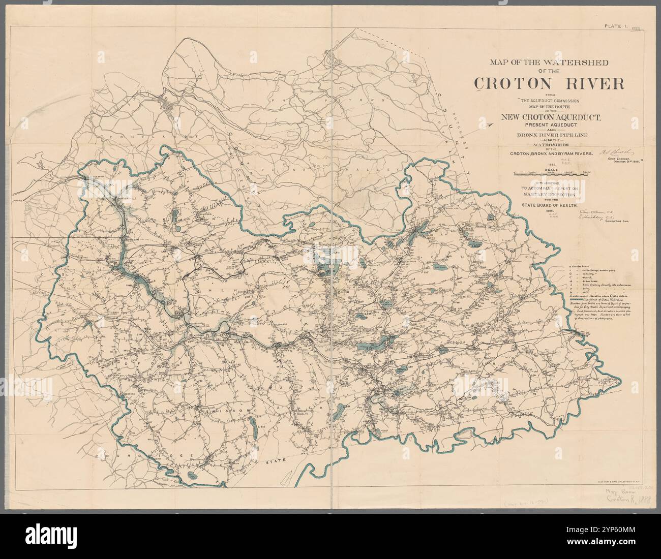 Plate I. Map of the watershed of the Croton River : from the Aqueduct commission map of the route of the New Croton Aqueduct, present Aqueduct and Bronx River pipe line, also the watersheds of the Croton, Bronx, and Byram Rivers, 1887 1888 Stock Photohttps://www.alamy.com/image-license-details/?v=1https://www.alamy.com/plate-i-map-of-the-watershed-of-the-croton-river-from-the-aqueduct-commission-map-of-the-route-of-the-new-croton-aqueduct-present-aqueduct-and-bronx-river-pipe-line-also-the-watersheds-of-the-croton-bronx-and-byram-rivers-1887-1888-image633227972.html
RM2YP60MM–Plate I. Map of the watershed of the Croton River : from the Aqueduct commission map of the route of the New Croton Aqueduct, present Aqueduct and Bronx River pipe line, also the watersheds of the Croton, Bronx, and Byram Rivers, 1887 1888
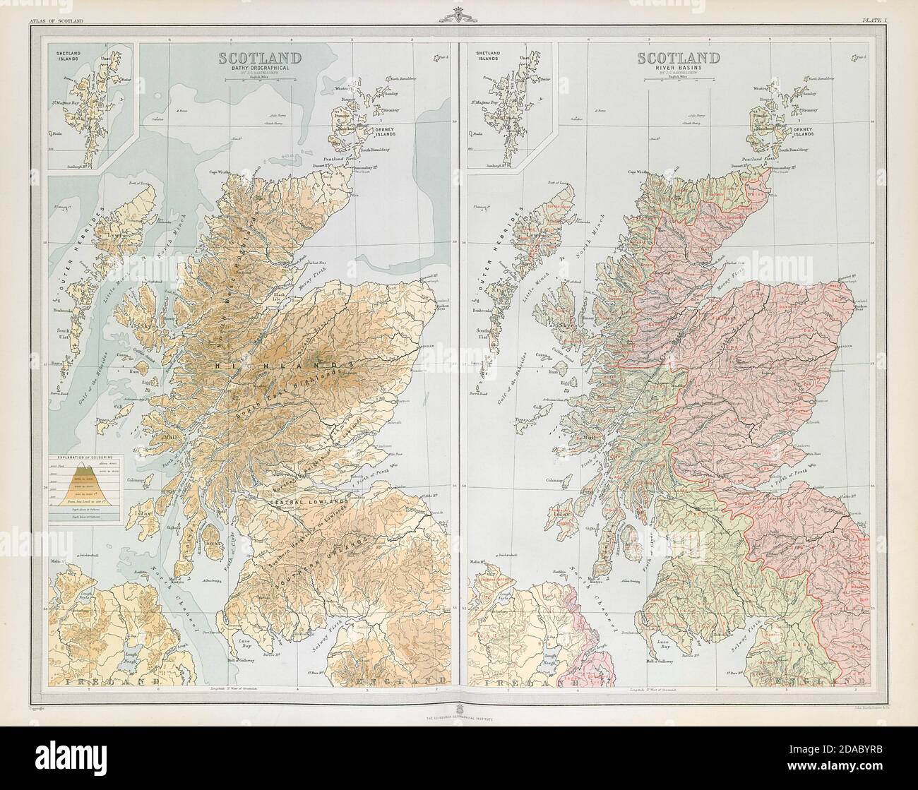 SCOTLAND. Relief & River basins. Watersheds. Drainage divide. LARGE 1895 map Stock Photohttps://www.alamy.com/image-license-details/?v=1https://www.alamy.com/scotland-relief-river-basins-watersheds-drainage-divide-large-1895-map-image385037951.html
RF2DABYRB–SCOTLAND. Relief & River basins. Watersheds. Drainage divide. LARGE 1895 map
 View from Boreas Pass Road in Colorado. The Denver, South Park, and Pacific Narrow Gauge Railroad once served this area and historical buildings. Stock Photohttps://www.alamy.com/image-license-details/?v=1https://www.alamy.com/view-from-boreas-pass-road-in-colorado-the-denver-south-park-and-pacific-narrow-gauge-railroad-once-served-this-area-and-historical-buildings-image606241168.html
RM2X68JP8–View from Boreas Pass Road in Colorado. The Denver, South Park, and Pacific Narrow Gauge Railroad once served this area and historical buildings.
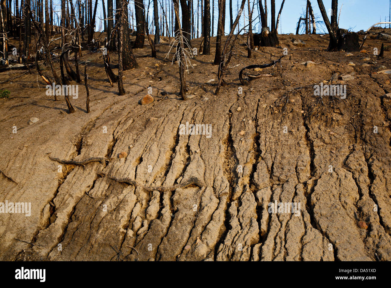 Oct 23, 2009 - Susanville, California, U.S. - Water-resistant hydrophobic soil caused by the extremely hot wildfires, such as this hillside in the Lightening Complex Fire, causes mudslides and erosion and greatly reduces the ability of the watershed to hold water. A century of complete wildfire suppression now means the dense fuels burn extremely hot, causing long-lasting damage to forests and watersheds. (Credit Image: © David I. Gross/ZUMAPRESS.com) Stock Photohttps://www.alamy.com/image-license-details/?v=1https://www.alamy.com/stock-photo-oct-23-2009-susanville-california-us-water-resistant-hydrophobic-soil-57888949.html
RMDA51XD–Oct 23, 2009 - Susanville, California, U.S. - Water-resistant hydrophobic soil caused by the extremely hot wildfires, such as this hillside in the Lightening Complex Fire, causes mudslides and erosion and greatly reduces the ability of the watershed to hold water. A century of complete wildfire suppression now means the dense fuels burn extremely hot, causing long-lasting damage to forests and watersheds. (Credit Image: © David I. Gross/ZUMAPRESS.com)
 'The partnership that's been formed between the Corps of enginneers, the EPA, and local stakeholders is really important to the Maumee and Toledo area. Together we've identified local areas of concern in different watersheds and found funding streams to make these cleanup projects realitic to implement. As a local citizen of the community, it's encouraging to see relationships build to clean up contaminated sites.' - Mark Schwab, USACE Buffalo District contracting officers representative Stock Photohttps://www.alamy.com/image-license-details/?v=1https://www.alamy.com/the-partnership-thats-been-formed-between-the-corps-of-enginneers-the-epa-and-local-stakeholders-is-really-important-to-the-maumee-and-toledo-area-together-weve-identified-local-areas-of-concern-in-different-watersheds-and-found-funding-streams-to-make-these-cleanup-projects-realitic-to-implement-as-a-local-citizen-of-the-community-its-encouraging-to-see-relationships-build-to-clean-up-contaminated-sites-mark-schwab-usace-buffalo-district-contracting-officers-representative-image442330542.html
RM2GKHW3A–'The partnership that's been formed between the Corps of enginneers, the EPA, and local stakeholders is really important to the Maumee and Toledo area. Together we've identified local areas of concern in different watersheds and found funding streams to make these cleanup projects realitic to implement. As a local citizen of the community, it's encouraging to see relationships build to clean up contaminated sites.' - Mark Schwab, USACE Buffalo District contracting officers representative
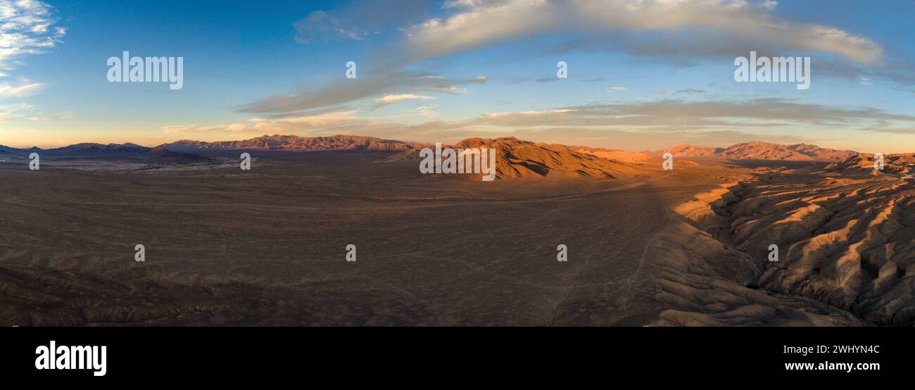 Drone Image, Tecopa, California, Watersheds, Inyo County, Aerial View, Landscape, Scenic, Topography Stock Photohttps://www.alamy.com/image-license-details/?v=1https://www.alamy.com/drone-image-tecopa-california-watersheds-inyo-county-aerial-view-landscape-scenic-topography-image596210956.html
RF2WHYN4C–Drone Image, Tecopa, California, Watersheds, Inyo County, Aerial View, Landscape, Scenic, Topography
 (Published 3/16/2006, NI-4; republished 3/30/3006, NC-8) LE watershed253683x001 3-9-2006 Carlsbad, CA. Rodney Hill, environmental educator with Solana Center for Environmental Innovation, left, gives a presentation to fourth graders at Hope Elementary School in Carlsbad, to show how pollutants affect watersheds. From left; Jeff Knapp, 9, Fernando Duran, 9, Devin Tanzella, 9, Laura Stock Photohttps://www.alamy.com/image-license-details/?v=1https://www.alamy.com/published-3162006-ni-4-republished-3303006-nc-8-le-watershed253683x001-image65470726.html
RMDPECG6–(Published 3/16/2006, NI-4; republished 3/30/3006, NC-8) LE watershed253683x001 3-9-2006 Carlsbad, CA. Rodney Hill, environmental educator with Solana Center for Environmental Innovation, left, gives a presentation to fourth graders at Hope Elementary School in Carlsbad, to show how pollutants affect watersheds. From left; Jeff Knapp, 9, Fernando Duran, 9, Devin Tanzella, 9, Laura
 Coronado National Memorial, Hereford, Arizona, USA. Looking into Sonora, Mexico, from Arizona, border activity, watersheds, wildlife corridor. Stock Photohttps://www.alamy.com/image-license-details/?v=1https://www.alamy.com/coronado-national-memorial-hereford-arizona-usa-looking-into-sonora-mexico-from-arizona-border-activity-watersheds-wildlife-corridor-image337585048.html
RM2AH694T–Coronado National Memorial, Hereford, Arizona, USA. Looking into Sonora, Mexico, from Arizona, border activity, watersheds, wildlife corridor.
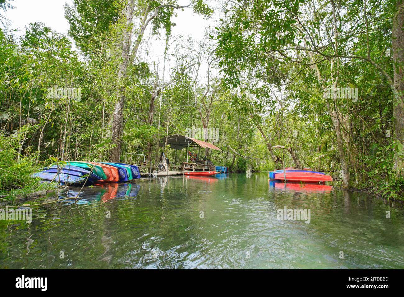 Recently popular attraction Ban Nam Rad Watershed Forest at Khiri Rat Nikhom district, Surat Thani province, Thailand. Stock Photohttps://www.alamy.com/image-license-details/?v=1https://www.alamy.com/recently-popular-attraction-ban-nam-rad-watershed-forest-at-khiri-rat-nikhom-district-surat-thani-province-thailand-image479726001.html
RF2JTDBBD–Recently popular attraction Ban Nam Rad Watershed Forest at Khiri Rat Nikhom district, Surat Thani province, Thailand.
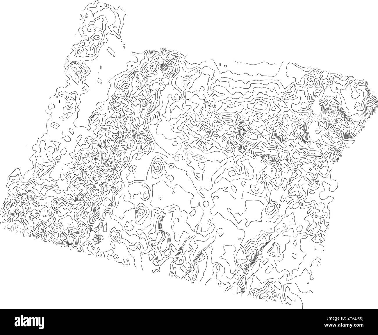 Intricate contour map of Oregon state, depicting its diverse topography from coastal regions to mountains Stock Vectorhttps://www.alamy.com/image-license-details/?v=1https://www.alamy.com/intricate-contour-map-of-oregon-state-depicting-its-diverse-topography-from-coastal-regions-to-mountains-image626025586.html
RF2YADX0J–Intricate contour map of Oregon state, depicting its diverse topography from coastal regions to mountains
 a exterior picture of an Pacific Northwest wetlands with Lilly pads in summer Stock Photohttps://www.alamy.com/image-license-details/?v=1https://www.alamy.com/a-exterior-picture-of-an-pacific-northwest-wetlands-with-lilly-pads-in-summer-image437228999.html
RF2GB9E1B–a exterior picture of an Pacific Northwest wetlands with Lilly pads in summer
 Mount Holomon, Chalkidiki, or Halkidiki, Makedonia, Greece Stock Photohttps://www.alamy.com/image-license-details/?v=1https://www.alamy.com/mount-holomon-chalkidiki-or-halkidiki-makedonia-greece-image338837694.html
RF2AK7AX6–Mount Holomon, Chalkidiki, or Halkidiki, Makedonia, Greece
 Buffaloes belonging to a local farmer graze in the area through which the canal will pass. Fifty percent of the area reserved for the canal is used for agriculture and livestock, while 20% includes meadows, forests, and watersheds key to the survival of the large city. The Erdo?an government will begin work this summer to open a new waterway north of Istanbul. This controversial mega-project will have irreversible environmental consequences. The construction of a luxury residential area along the canal will also cause the displacement of thousands of people currently living in the area. (Photo Stock Photohttps://www.alamy.com/image-license-details/?v=1https://www.alamy.com/buffaloes-belonging-to-a-local-farmer-graze-in-the-area-through-which-the-canal-will-pass-fifty-percent-of-the-area-reserved-for-the-canal-is-used-for-agriculture-and-livestock-while-20-includes-meadows-forests-and-watersheds-key-to-the-survival-of-the-large-city-the-erdoan-government-will-begin-work-this-summer-to-open-a-new-waterway-north-of-istanbul-this-controversial-mega-project-will-have-irreversible-environmental-consequences-the-construction-of-a-luxury-residential-area-along-the-canal-will-also-cause-the-displacement-of-thousands-of-people-currently-living-in-the-area-photo-image430838376.html
RM2G0XAMT–Buffaloes belonging to a local farmer graze in the area through which the canal will pass. Fifty percent of the area reserved for the canal is used for agriculture and livestock, while 20% includes meadows, forests, and watersheds key to the survival of the large city. The Erdo?an government will begin work this summer to open a new waterway north of Istanbul. This controversial mega-project will have irreversible environmental consequences. The construction of a luxury residential area along the canal will also cause the displacement of thousands of people currently living in the area. (Photo
 Creek levels surge in the Santa Monica Mountains after winter rains cause saturation in watersheds. Stock Photohttps://www.alamy.com/image-license-details/?v=1https://www.alamy.com/creek-levels-surge-in-the-santa-monica-mountains-after-winter-rains-cause-saturation-in-watersheds-image472608640.html
RF2JCW540–Creek levels surge in the Santa Monica Mountains after winter rains cause saturation in watersheds.
 Mexico watersheds. Stock Photohttps://www.alamy.com/image-license-details/?v=1https://www.alamy.com/mexico-watersheds-image399217617.html
RM2E5DX41–Mexico watersheds.
 Changsha city scenery Stock Photohttps://www.alamy.com/image-license-details/?v=1https://www.alamy.com/changsha-city-scenery-image256630208.html
RFTWEECG–Changsha city scenery
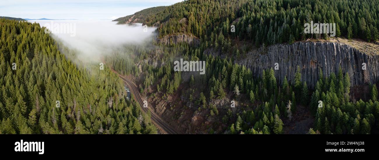 Forest covers the rugged, eastern slopes near Mt. Hood, Oregon. The Pacific Northwest region is home to extensive forests, mountains, and watersheds. Stock Photohttps://www.alamy.com/image-license-details/?v=1https://www.alamy.com/forest-covers-the-rugged-eastern-slopes-near-mt-hood-oregon-the-pacific-northwest-region-is-home-to-extensive-forests-mountains-and-watersheds-image588086332.html
RM2W4NJ38–Forest covers the rugged, eastern slopes near Mt. Hood, Oregon. The Pacific Northwest region is home to extensive forests, mountains, and watersheds.
 The U. S. Department of Agriculture selected three watershed areas, Conewago Creek in Pennsylvania (pictured), Smith Creek in Virginia, and Upper Chester River in Maryland as part of the Chesapeake Showcase Watershed Project. The watershed project will utilize the collective energies of Federal, State, and local partners to help landowners and communities use their land in sustainable ways that do not harm water quality. If these watersheds are successfully restored they may become models for the six states involved in restoring the Chesapeake Bay. Conewago Creek watershed covers 33,606 acres Stock Photohttps://www.alamy.com/image-license-details/?v=1https://www.alamy.com/the-u-s-department-of-agriculture-selected-three-watershed-areas-conewago-creek-in-pennsylvania-pictured-smith-creek-in-virginia-and-upper-chester-river-in-maryland-as-part-of-the-chesapeake-showcase-watershed-project-the-watershed-project-will-utilize-the-collective-energies-of-federal-state-and-local-partners-to-help-landowners-and-communities-use-their-land-in-sustainable-ways-that-do-not-harm-water-quality-if-these-watersheds-are-successfully-restored-they-may-become-models-for-the-six-states-involved-in-restoring-the-chesapeake-bay-conewago-creek-watershed-covers-33606-acres-image337653151.html
RM2AH9C13–The U. S. Department of Agriculture selected three watershed areas, Conewago Creek in Pennsylvania (pictured), Smith Creek in Virginia, and Upper Chester River in Maryland as part of the Chesapeake Showcase Watershed Project. The watershed project will utilize the collective energies of Federal, State, and local partners to help landowners and communities use their land in sustainable ways that do not harm water quality. If these watersheds are successfully restored they may become models for the six states involved in restoring the Chesapeake Bay. Conewago Creek watershed covers 33,606 acres
 Office of Water - Office of Wetlands, Oceans, and Watersheds , Environmental Protection Agency Stock Photohttps://www.alamy.com/image-license-details/?v=1https://www.alamy.com/office-of-water-office-of-wetlands-oceans-and-watersheds-environmental-protection-agency-image499351061.html
RM2M0BBAD–Office of Water - Office of Wetlands, Oceans, and Watersheds , Environmental Protection Agency
 Surveys for a future water supply , Map showing proposed lines of aqueducts from the Delaware and Lehigh Rivers and Perkiomen Creek, also available watersheds of the Neshaminy, Tohickon, Mill, and Perkiomen Creeks, and of certain tributaries of the Delaware and Lehigh Rivers north of the Blue Mountains 1885 by Philadelphia (Pa.). Water Department Stock Photohttps://www.alamy.com/image-license-details/?v=1https://www.alamy.com/surveys-for-a-future-water-supply-map-showing-proposed-lines-of-aqueducts-from-the-delaware-and-lehigh-rivers-and-perkiomen-creek-also-available-watersheds-of-the-neshaminy-tohickon-mill-and-perkiomen-creeks-and-of-certain-tributaries-of-the-delaware-and-lehigh-rivers-north-of-the-blue-mountains-1885-by-philadelphia-pa-water-department-image633424815.html
RM2YPEYPR–Surveys for a future water supply , Map showing proposed lines of aqueducts from the Delaware and Lehigh Rivers and Perkiomen Creek, also available watersheds of the Neshaminy, Tohickon, Mill, and Perkiomen Creeks, and of certain tributaries of the Delaware and Lehigh Rivers north of the Blue Mountains 1885 by Philadelphia (Pa.). Water Department
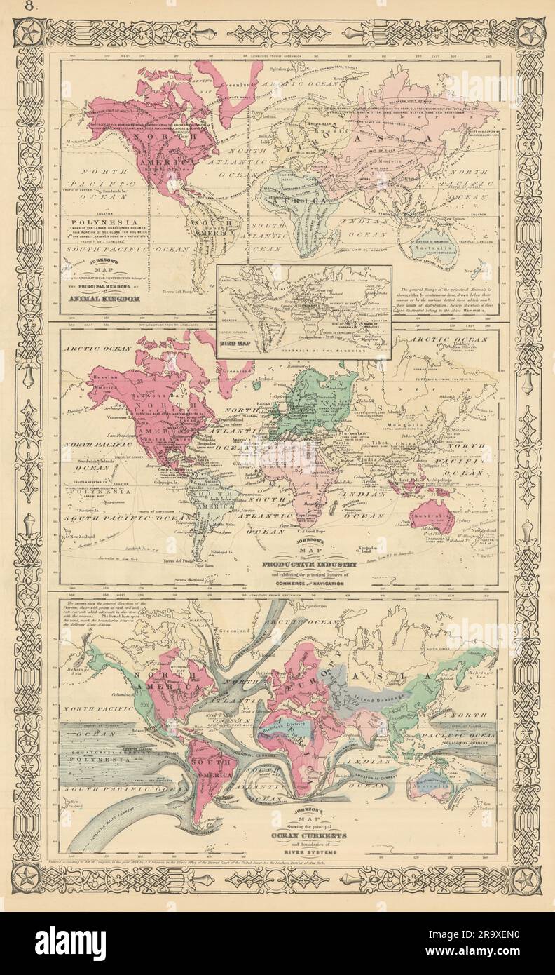 World. Animals Birds Industries Ocean Currents Watersheds. JOHNSON 1866 map Stock Photohttps://www.alamy.com/image-license-details/?v=1https://www.alamy.com/world-animals-birds-industries-ocean-currents-watersheds-johnson-1866-map-image556845996.html
RF2R9XEN0–World. Animals Birds Industries Ocean Currents Watersheds. JOHNSON 1866 map
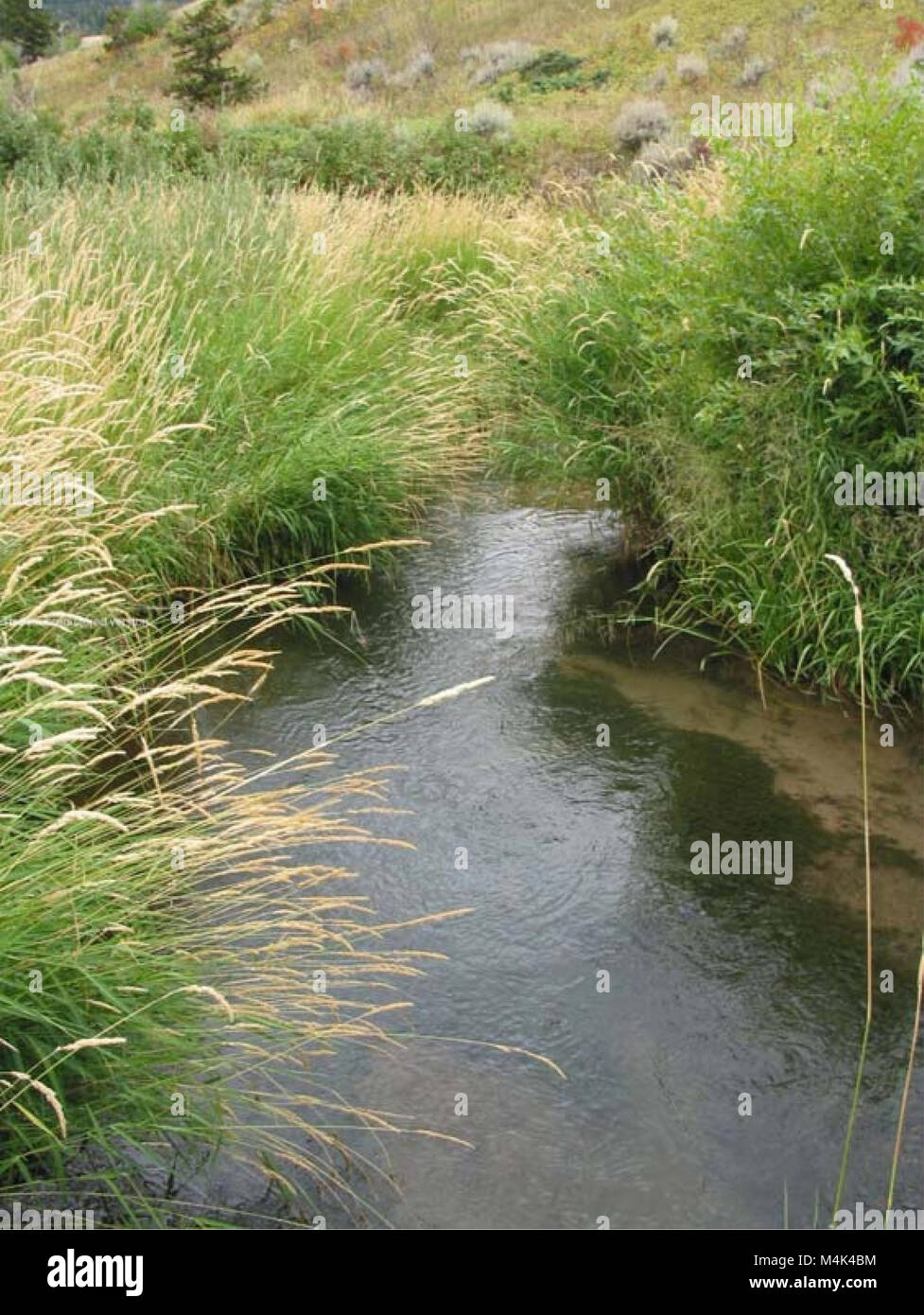 Assessment of aquatic macroinvertebrates in USFS - BLM Lands of the Crooked and Sage Creek Watersheds (electronic resource) (2009) (20167776969) Stock Photohttps://www.alamy.com/image-license-details/?v=1https://www.alamy.com/stock-photo-assessment-of-aquatic-macroinvertebrates-in-usfs-blm-lands-of-the-174982856.html
RMM4K4BM–Assessment of aquatic macroinvertebrates in USFS - BLM Lands of the Crooked and Sage Creek Watersheds (electronic resource) (2009) (20167776969)
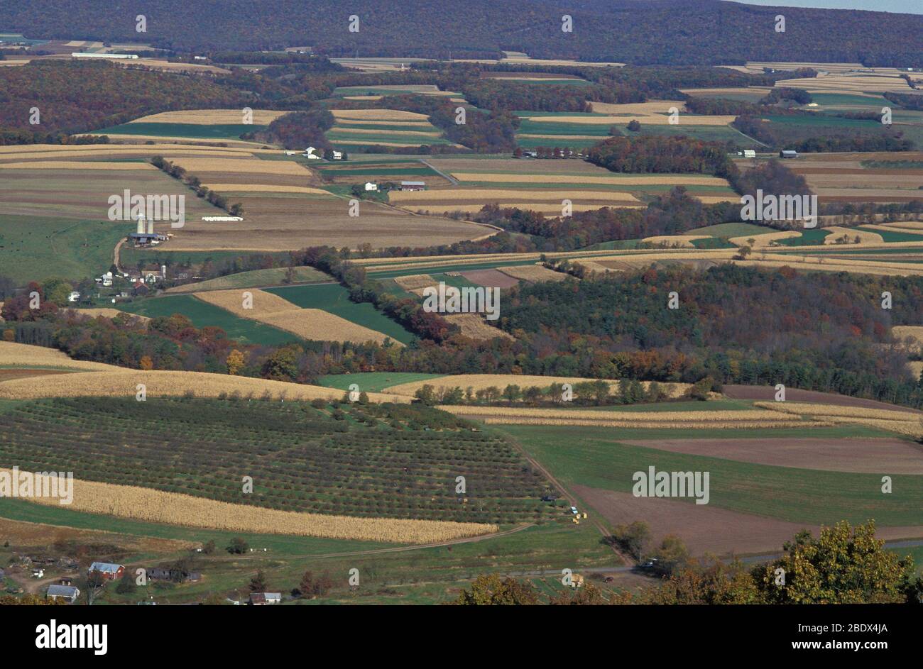 Mahantango Creek watershed, PA Stock Photohttps://www.alamy.com/image-license-details/?v=1https://www.alamy.com/mahantango-creek-watershed-pa-image352772290.html
RM2BDX4JA–Mahantango Creek watershed, PA
 The U.S. Army Corps of Engineers Pittsburgh District is known as the “Headwaters District” because the city’s point is where the Allegheny and Monongahela rivers converge to form the Ohio River, which connects the region to many of the inland waterways for the rest of the nation. The district manages the waterways and watersheds that flow throughout significant parts of the northeastern United States. The district operates 23 locks and dams, saving shippers and consumers approximately $4 billion in transportation costs annually compared to using other means, such as trucks or rails. Transport Stock Photohttps://www.alamy.com/image-license-details/?v=1https://www.alamy.com/the-us-army-corps-of-engineers-pittsburgh-district-is-known-as-the-headwaters-district-because-the-citys-point-is-where-the-allegheny-and-monongahela-rivers-converge-to-form-the-ohio-river-which-connects-the-region-to-many-of-the-inland-waterways-for-the-rest-of-the-nation-the-district-manages-the-waterways-and-watersheds-that-flow-throughout-significant-parts-of-the-northeastern-united-states-the-district-operates-23-locks-and-dams-saving-shippers-and-consumers-approximately-4-billion-in-transportation-costs-annually-compared-to-using-other-means-such-as-trucks-or-rails-transport-image601010807.html
RM2WWPBBK–The U.S. Army Corps of Engineers Pittsburgh District is known as the “Headwaters District” because the city’s point is where the Allegheny and Monongahela rivers converge to form the Ohio River, which connects the region to many of the inland waterways for the rest of the nation. The district manages the waterways and watersheds that flow throughout significant parts of the northeastern United States. The district operates 23 locks and dams, saving shippers and consumers approximately $4 billion in transportation costs annually compared to using other means, such as trucks or rails. Transport
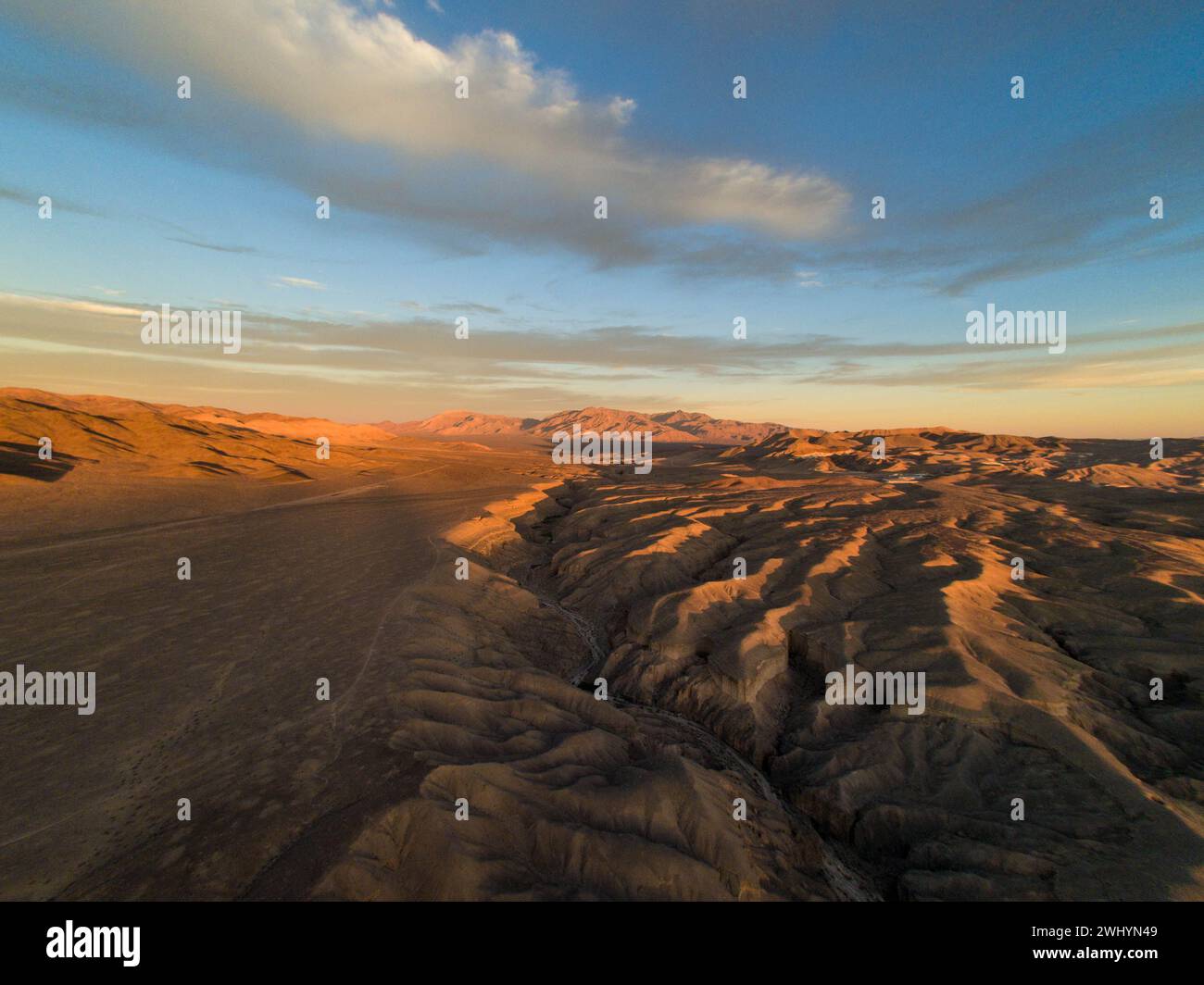 Drone Image, Tecopa, California, Watersheds, Inyo County, Aerial View, Landscape, Scenic, Topography Stock Photohttps://www.alamy.com/image-license-details/?v=1https://www.alamy.com/drone-image-tecopa-california-watersheds-inyo-county-aerial-view-landscape-scenic-topography-image596210953.html
RF2WHYN49–Drone Image, Tecopa, California, Watersheds, Inyo County, Aerial View, Landscape, Scenic, Topography
 11.9 miles long river In The White Mountains of Northern NH. It's a tributary of the Bearcamp River, part of Ossipee River and Saco River watersheds. Stock Photohttps://www.alamy.com/image-license-details/?v=1https://www.alamy.com/119-miles-long-river-in-the-white-mountains-of-northern-nh-its-a-tributary-of-the-bearcamp-river-part-of-ossipee-river-and-saco-river-watersheds-image487171919.html
RF2K8GGN3–11.9 miles long river In The White Mountains of Northern NH. It's a tributary of the Bearcamp River, part of Ossipee River and Saco River watersheds.
 Coronado National Memorial, Hereford, Arizona, USA. Looking into Sonora, Mexico, from Arizona, border activity, watersheds, wildlife corridor. Stock Photohttps://www.alamy.com/image-license-details/?v=1https://www.alamy.com/coronado-national-memorial-hereford-arizona-usa-looking-into-sonora-mexico-from-arizona-border-activity-watersheds-wildlife-corridor-image337584708.html
RM2AH68MM–Coronado National Memorial, Hereford, Arizona, USA. Looking into Sonora, Mexico, from Arizona, border activity, watersheds, wildlife corridor.
 Recently popular attraction Ban Nam Rad Watershed Forest at Khiri Rat Nikhom district, Surat Thani province, Thailand. Stock Photohttps://www.alamy.com/image-license-details/?v=1https://www.alamy.com/recently-popular-attraction-ban-nam-rad-watershed-forest-at-khiri-rat-nikhom-district-surat-thani-province-thailand-image479725983.html
RF2JTDBAR–Recently popular attraction Ban Nam Rad Watershed Forest at Khiri Rat Nikhom district, Surat Thani province, Thailand.
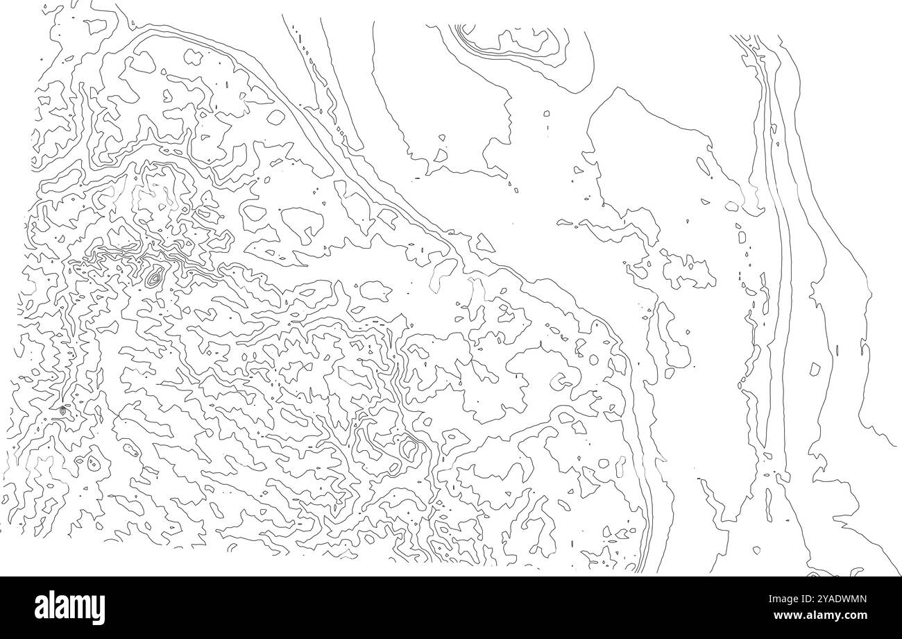 Intricate contour map of North Dakota state, depicting its subtle topography from plains to rolling hills Stock Vectorhttps://www.alamy.com/image-license-details/?v=1https://www.alamy.com/intricate-contour-map-of-north-dakota-state-depicting-its-subtle-topography-from-plains-to-rolling-hills-image626025365.html
RF2YADWMN–Intricate contour map of North Dakota state, depicting its subtle topography from plains to rolling hills
 a picture of an Pacific Northwest water park preserve Stock Photohttps://www.alamy.com/image-license-details/?v=1https://www.alamy.com/a-picture-of-an-pacific-northwest-water-park-preserve-image437234474.html
RF2GB9N0X–a picture of an Pacific Northwest water park preserve
 Mount Holomon, Chalkidiki, or Halkidiki, Makedonia, Greece Stock Photohttps://www.alamy.com/image-license-details/?v=1https://www.alamy.com/mount-holomon-chalkidiki-or-halkidiki-makedonia-greece-image338837969.html
RF2AK7B81–Mount Holomon, Chalkidiki, or Halkidiki, Makedonia, Greece
 'Russara,' Camille G Pillot's Handsome Yacht, Escort for 'Windom,' in Stock Photohttps://www.alamy.com/image-license-details/?v=1https://www.alamy.com/stock-photo-russara-camille-g-pillots-handsome-yacht-escort-for-windom-in-129174267.html
RMHE4B2K–'Russara,' Camille G Pillot's Handsome Yacht, Escort for 'Windom,' in
 Creek levels surge in the Santa Monica Mountains after winter rains cause saturation in watersheds. Stock Photohttps://www.alamy.com/image-license-details/?v=1https://www.alamy.com/creek-levels-surge-in-the-santa-monica-mountains-after-winter-rains-cause-saturation-in-watersheds-image472608602.html
RF2JCW52J–Creek levels surge in the Santa Monica Mountains after winter rains cause saturation in watersheds.
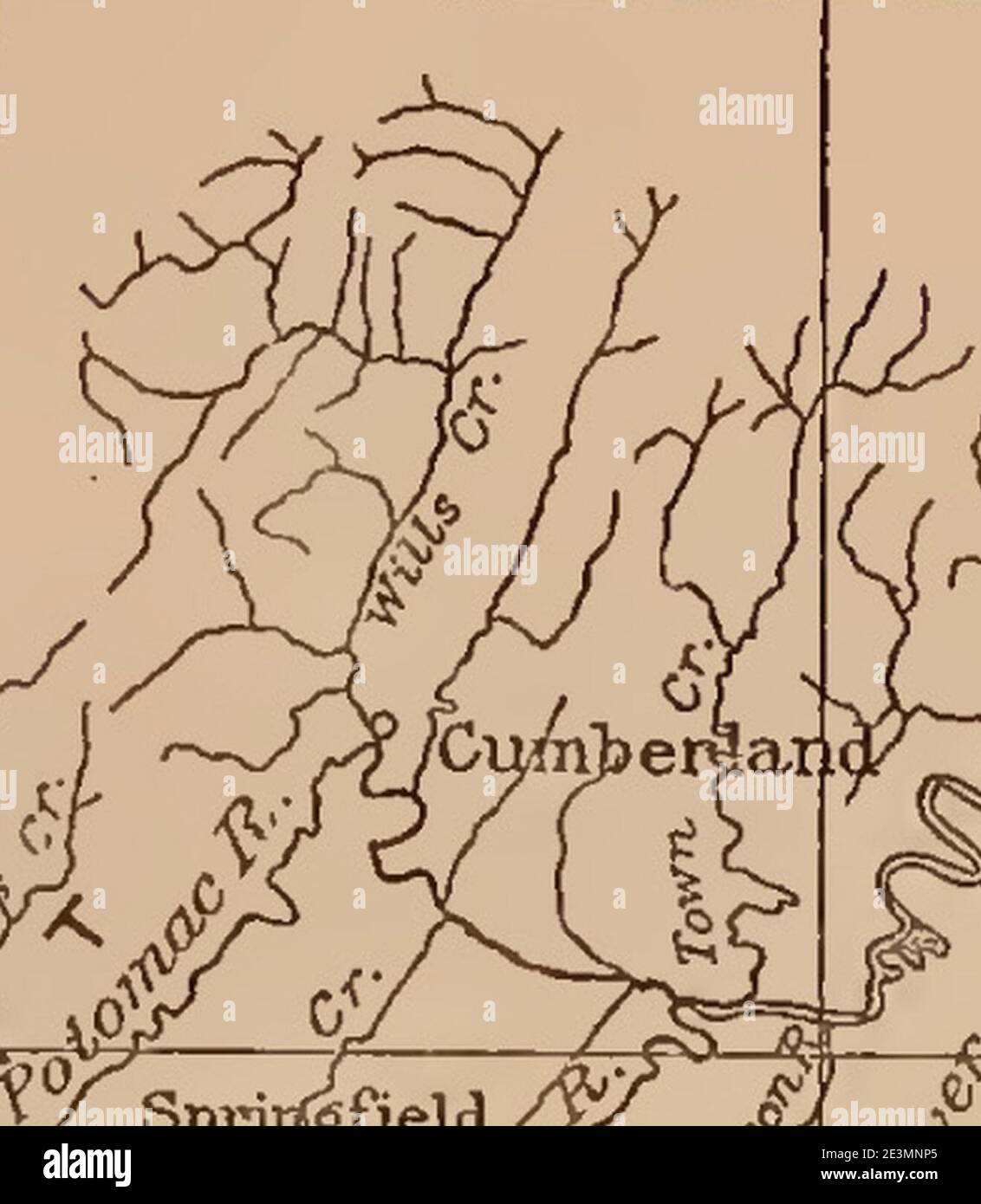 Map of Wills Creek Town Creek Watersheds in Pennsylvania Maryland. Stock Photohttps://www.alamy.com/image-license-details/?v=1https://www.alamy.com/map-of-wills-creek-town-creek-watersheds-in-pennsylvania-maryland-image398138557.html
RM2E3MNP5–Map of Wills Creek Town Creek Watersheds in Pennsylvania Maryland.
 Changsha city scenery Stock Photohttps://www.alamy.com/image-license-details/?v=1https://www.alamy.com/changsha-city-scenery-image249225396.html
RFTDD5F0–Changsha city scenery
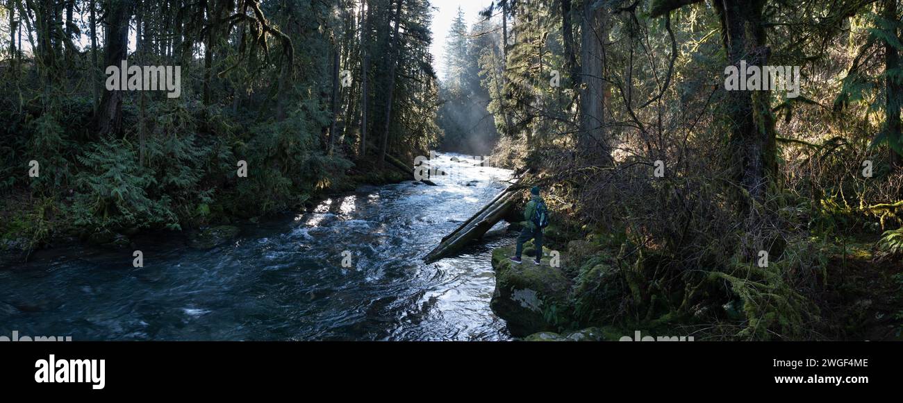 Morning sunlight shines on Eagle Creek as it flows through a beautiful Oregon forest. Watersheds throughout the Pacific Northwest are vital habitats. Stock Photohttps://www.alamy.com/image-license-details/?v=1https://www.alamy.com/morning-sunlight-shines-on-eagle-creek-as-it-flows-through-a-beautiful-oregon-forest-watersheds-throughout-the-pacific-northwest-are-vital-habitats-image595319998.html
RM2WGF4ME–Morning sunlight shines on Eagle Creek as it flows through a beautiful Oregon forest. Watersheds throughout the Pacific Northwest are vital habitats.
 Agriculture Deputy Secretary Kathleen Merrigan announces the implementation of three showcase watersheds at the Eby-Patterson farm in Hershey, PA, on Friday, June 18, 2010. These watersheds are being established to demonstrate the effectives of water quality improvements in a confined geographic area using producer outreach efforts, innovative conservation practices, and intensive conservation planning, implementation, and monitoring. Stock Photohttps://www.alamy.com/image-license-details/?v=1https://www.alamy.com/agriculture-deputy-secretary-kathleen-merrigan-announces-the-implementation-of-three-showcase-watersheds-at-the-eby-patterson-farm-in-hershey-pa-on-friday-june-18-2010-these-watersheds-are-being-established-to-demonstrate-the-effectives-of-water-quality-improvements-in-a-confined-geographic-area-using-producer-outreach-efforts-innovative-conservation-practices-and-intensive-conservation-planning-implementation-and-monitoring-image415754075.html
RM2F4B6FR–Agriculture Deputy Secretary Kathleen Merrigan announces the implementation of three showcase watersheds at the Eby-Patterson farm in Hershey, PA, on Friday, June 18, 2010. These watersheds are being established to demonstrate the effectives of water quality improvements in a confined geographic area using producer outreach efforts, innovative conservation practices, and intensive conservation planning, implementation, and monitoring.
 Office of Water - Office of Wetlands, Oceans, and Watersheds , Environmental Protection Agency Stock Photohttps://www.alamy.com/image-license-details/?v=1https://www.alamy.com/office-of-water-office-of-wetlands-oceans-and-watersheds-environmental-protection-agency-image499343160.html
RM2M0B188–Office of Water - Office of Wetlands, Oceans, and Watersheds , Environmental Protection Agency
![Infographic map of the Danube River. [Adobe Illustrator (.ai); 5669x3661]. Stock Photo Infographic map of the Danube River. [Adobe Illustrator (.ai); 5669x3661]. Stock Photo](https://c8.alamy.com/comp/2NEBHTK/infographic-map-of-the-danube-river-adobe-illustrator-ai-5669x3661-2NEBHTK.jpg) Infographic map of the Danube River. [Adobe Illustrator (.ai); 5669x3661]. Stock Photohttps://www.alamy.com/image-license-details/?v=1https://www.alamy.com/infographic-map-of-the-danube-river-adobe-illustrator-ai-5669x3661-image525171715.html
Infographic map of the Danube River. [Adobe Illustrator (.ai); 5669x3661]. Stock Photohttps://www.alamy.com/image-license-details/?v=1https://www.alamy.com/infographic-map-of-the-danube-river-adobe-illustrator-ai-5669x3661-image525171715.htmlRM2NEBHTK–Infographic map of the Danube River. [Adobe Illustrator (.ai); 5669x3661].
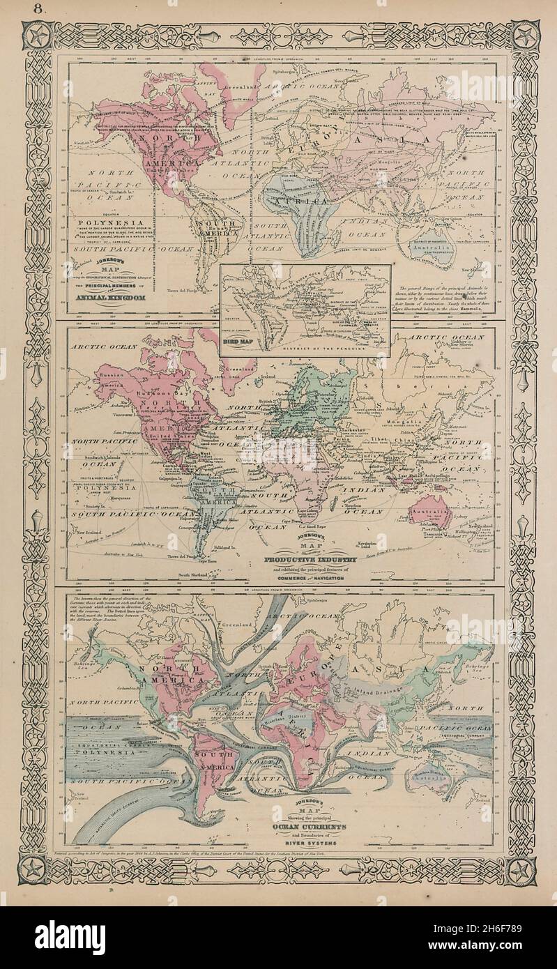 World. Animals Birds Industries Ocean Currents Watersheds. JOHNSON 1865 map Stock Photohttps://www.alamy.com/image-license-details/?v=1https://www.alamy.com/world-animals-birds-industries-ocean-currents-watersheds-johnson-1865-map-image451492505.html
RF2H6F789–World. Animals Birds Industries Ocean Currents Watersheds. JOHNSON 1865 map
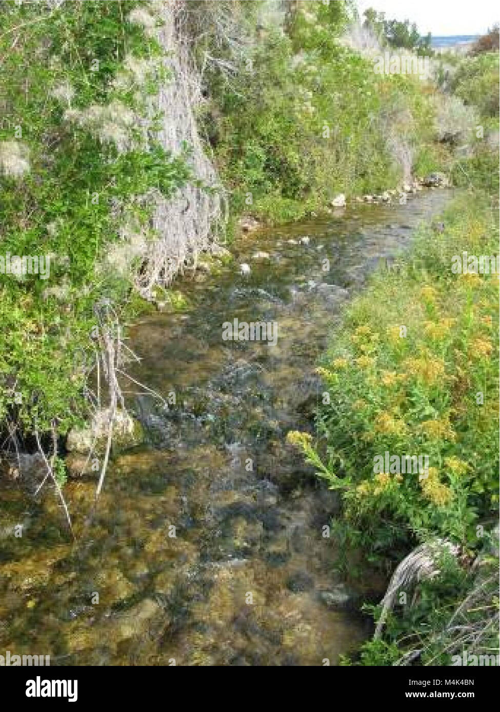 Assessment of aquatic macroinvertebrates in USFS - BLM Lands of the Crooked and Sage Creek Watersheds (electronic resource) (2009) (20328167976) Stock Photohttps://www.alamy.com/image-license-details/?v=1https://www.alamy.com/stock-photo-assessment-of-aquatic-macroinvertebrates-in-usfs-blm-lands-of-the-174982857.html
RMM4K4BN–Assessment of aquatic macroinvertebrates in USFS - BLM Lands of the Crooked and Sage Creek Watersheds (electronic resource) (2009) (20328167976)
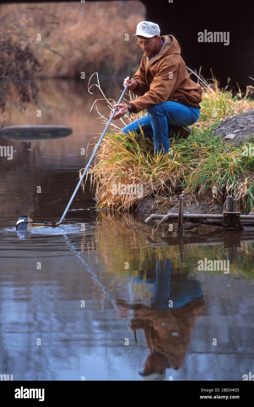 Sampling water at Walnut Creek Watershed Stock Photohttps://www.alamy.com/image-license-details/?v=1https://www.alamy.com/sampling-water-at-walnut-creek-watershed-image352772229.html
RM2BDX4G5–Sampling water at Walnut Creek Watershed
 The U.S. Army Corps of Engineers Pittsburgh District is known as the “Headwaters District” because the city’s point is where the Allegheny and Monongahela rivers converge to form the Ohio River, which connects the region to many of the inland waterways for the rest of the nation. The district manages the waterways and watersheds that flow throughout significant parts of the northeastern United States. The district operates 23 locks and dams, saving shippers and consumers approximately $4 billion in transportation costs annually compared to using other means, such as trucks or rails. Transport Stock Photohttps://www.alamy.com/image-license-details/?v=1https://www.alamy.com/the-us-army-corps-of-engineers-pittsburgh-district-is-known-as-the-headwaters-district-because-the-citys-point-is-where-the-allegheny-and-monongahela-rivers-converge-to-form-the-ohio-river-which-connects-the-region-to-many-of-the-inland-waterways-for-the-rest-of-the-nation-the-district-manages-the-waterways-and-watersheds-that-flow-throughout-significant-parts-of-the-northeastern-united-states-the-district-operates-23-locks-and-dams-saving-shippers-and-consumers-approximately-4-billion-in-transportation-costs-annually-compared-to-using-other-means-such-as-trucks-or-rails-transport-image601008783.html
RM2WWP8RB–The U.S. Army Corps of Engineers Pittsburgh District is known as the “Headwaters District” because the city’s point is where the Allegheny and Monongahela rivers converge to form the Ohio River, which connects the region to many of the inland waterways for the rest of the nation. The district manages the waterways and watersheds that flow throughout significant parts of the northeastern United States. The district operates 23 locks and dams, saving shippers and consumers approximately $4 billion in transportation costs annually compared to using other means, such as trucks or rails. Transport
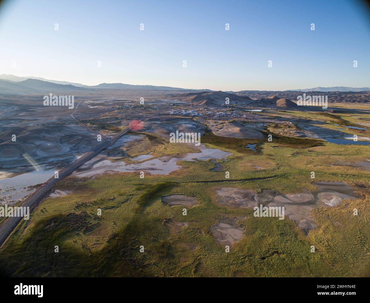 Drone Image, Tecopa, California, Watersheds, Inyo County, Aerial View, Landscape, Scenic, Topography Stock Photohttps://www.alamy.com/image-license-details/?v=1https://www.alamy.com/drone-image-tecopa-california-watersheds-inyo-county-aerial-view-landscape-scenic-topography-image596210958.html
RF2WHYN4E–Drone Image, Tecopa, California, Watersheds, Inyo County, Aerial View, Landscape, Scenic, Topography