Watling street roman road Stock Photos and Images
(115)See watling street roman road stock video clipsQuick filters:
Watling street roman road Stock Photos and Images
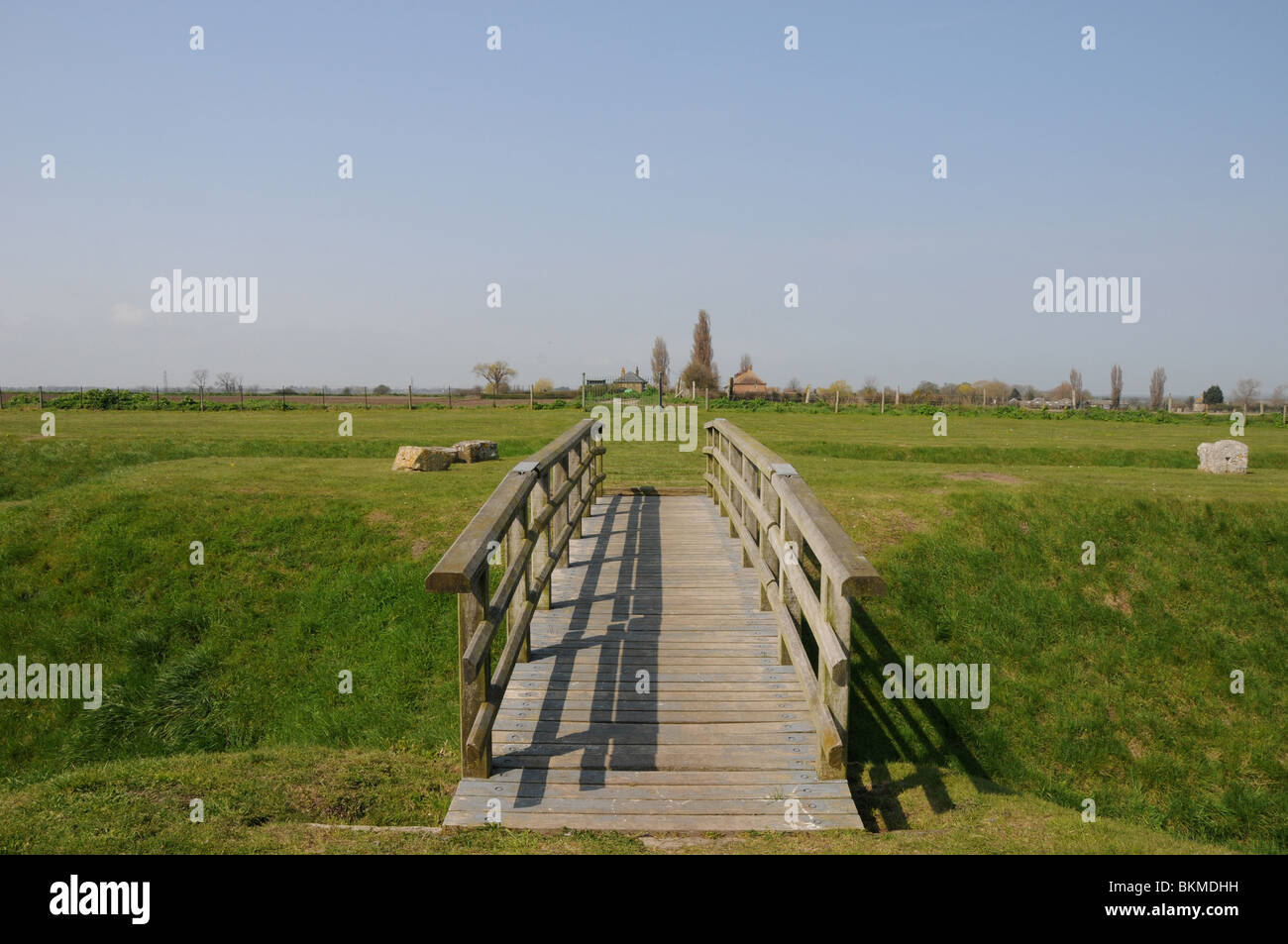 The start of Watling Street at Richborough Castle (Roman Rutupiae) in Kent. Stock Photohttps://www.alamy.com/image-license-details/?v=1https://www.alamy.com/stock-photo-the-start-of-watling-street-at-richborough-castle-roman-rutupiae-in-29338557.html
RFBKMDHH–The start of Watling Street at Richborough Castle (Roman Rutupiae) in Kent.
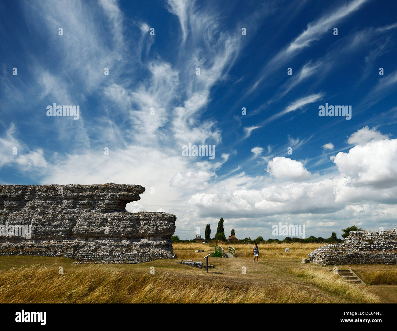 Richborough roman fort, showing the start of Watling Street, the main Roman road from the coast to London. Stock Photohttps://www.alamy.com/image-license-details/?v=1https://www.alamy.com/stock-photo-richborough-roman-fort-showing-the-start-of-watling-street-the-main-59142426.html
RMDC64NE–Richborough roman fort, showing the start of Watling Street, the main Roman road from the coast to London.
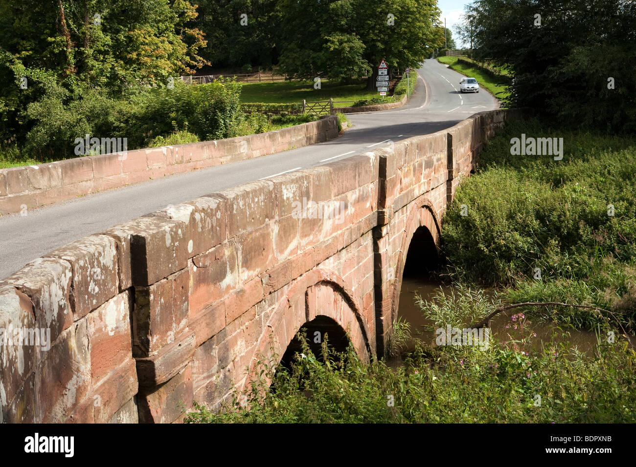 UK, England, Cheshire, Aldford, car crossing bridge over River Dee at ford on Watling Street, Roman Road Stock Photohttps://www.alamy.com/image-license-details/?v=1https://www.alamy.com/stock-photo-uk-england-cheshire-aldford-car-crossing-bridge-over-river-dee-at-25704823.html
RMBDPXNB–UK, England, Cheshire, Aldford, car crossing bridge over River Dee at ford on Watling Street, Roman Road
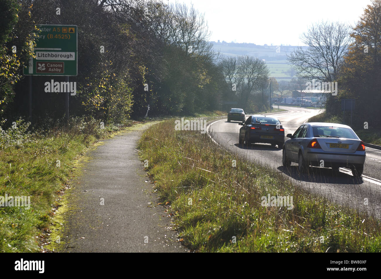 A5 road, Watling Street, Northamptonshire, England, UK Stock Photohttps://www.alamy.com/image-license-details/?v=1https://www.alamy.com/stock-photo-a5-road-watling-street-northamptonshire-england-uk-32753127.html
RMBW80XF–A5 road, Watling Street, Northamptonshire, England, UK
 Watling Street Roman road, Canterbury, Kent, England Stock Photohttps://www.alamy.com/image-license-details/?v=1https://www.alamy.com/watling-street-roman-road-canterbury-kent-england-image465958023.html
RM2J2265Y–Watling Street Roman road, Canterbury, Kent, England
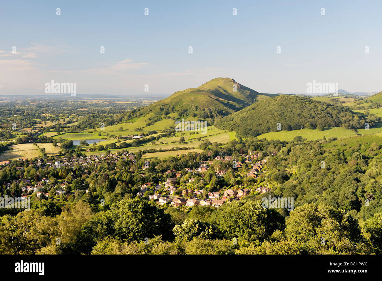 North from Ragleth Hill over Church Stretton village, Shropshire, England. Watling Street Roman Road and Caer Caradoc hill fort Stock Photohttps://www.alamy.com/image-license-details/?v=1https://www.alamy.com/stock-photo-north-from-ragleth-hill-over-church-stretton-village-shropshire-england-56939496.html
RMD8HPWC–North from Ragleth Hill over Church Stretton village, Shropshire, England. Watling Street Roman Road and Caer Caradoc hill fort
 Watling Street sign, London, England, UK Stock Photohttps://www.alamy.com/image-license-details/?v=1https://www.alamy.com/stock-photo-watling-street-sign-london-england-uk-29698155.html
RMBM8T8B–Watling Street sign, London, England, UK
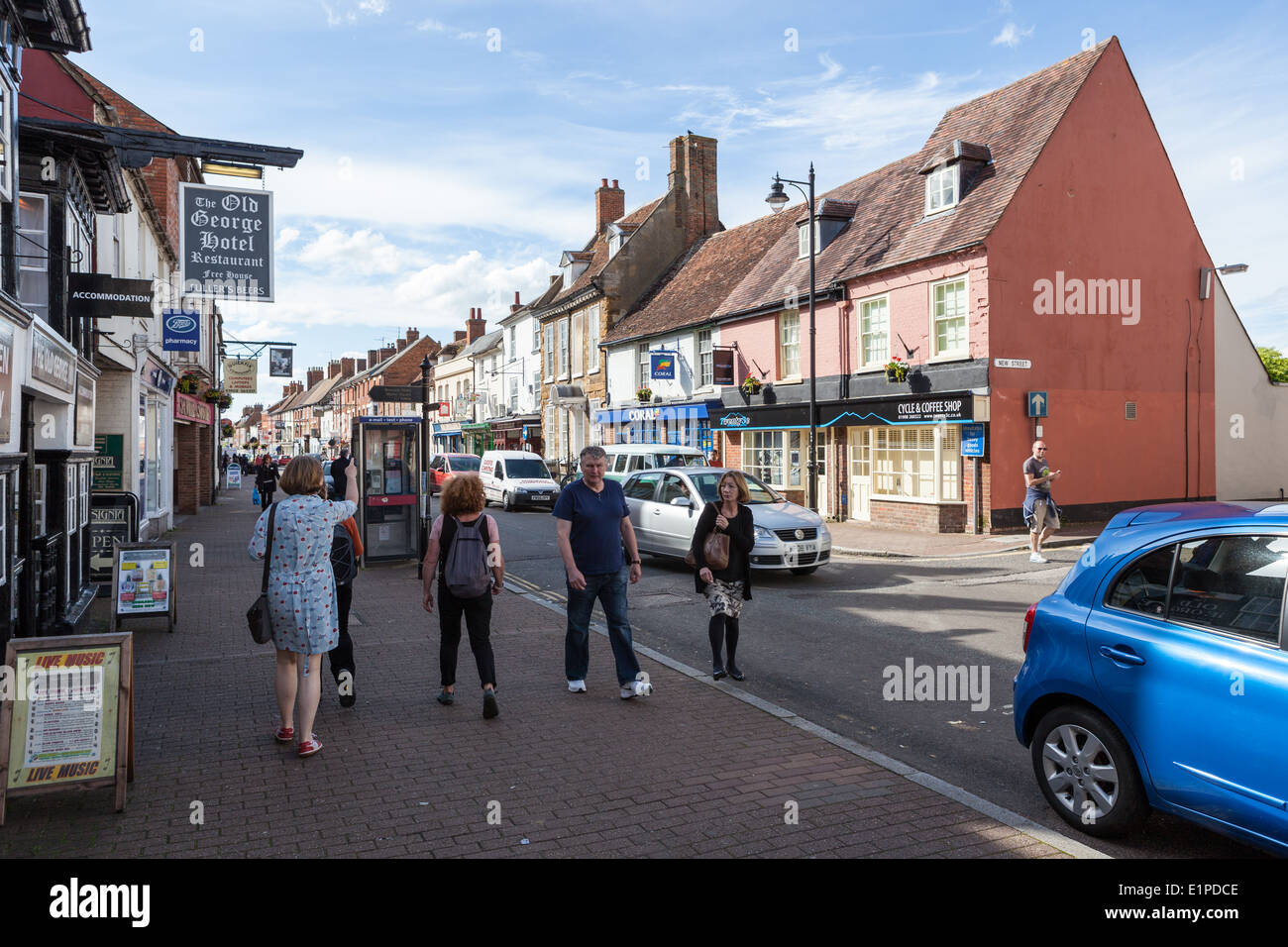 High Street, Stony Stratford, Buckinghamshire, England, UK Stock Photohttps://www.alamy.com/image-license-details/?v=1https://www.alamy.com/high-street-stony-stratford-buckinghamshire-england-uk-image69949614.html
RME1PDCE–High Street, Stony Stratford, Buckinghamshire, England, UK
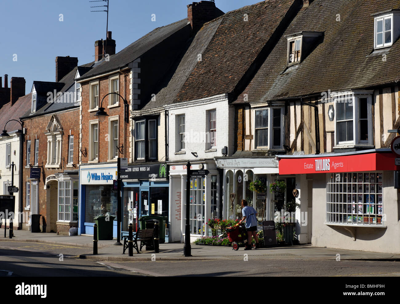
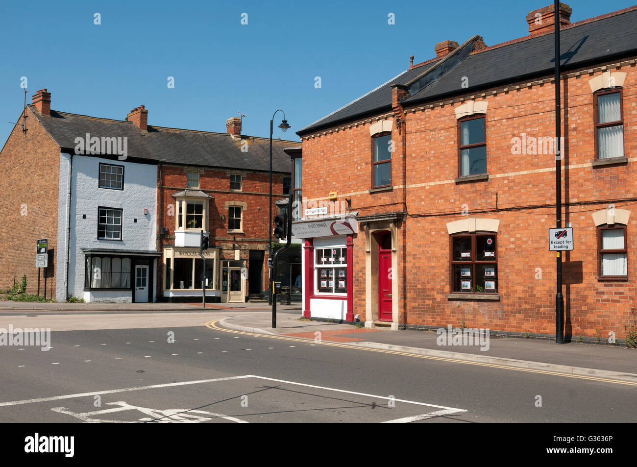 Junction of Watling Street and Northampton Road, Towcester, Northamptonshire, England, UK Stock Photohttps://www.alamy.com/image-license-details/?v=1https://www.alamy.com/stock-photo-junction-of-watling-street-and-northampton-road-towcester-northamptonshire-105240430.html
RMG3636P–Junction of Watling Street and Northampton Road, Towcester, Northamptonshire, England, UK
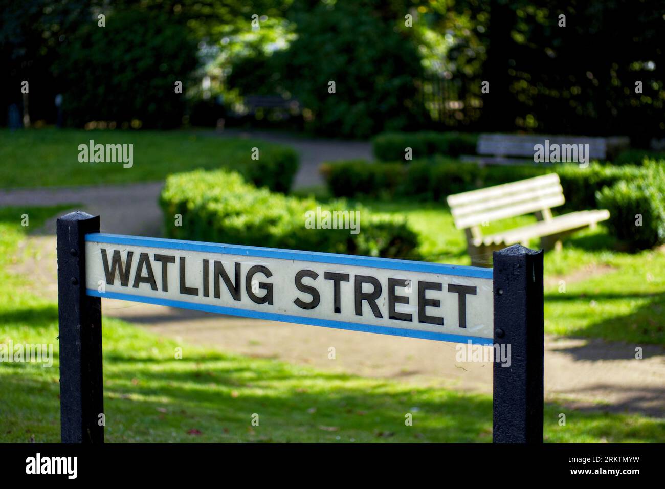 Watling Street road sign, Radlett, Hertfordshire, England, UK Stock Photohttps://www.alamy.com/image-license-details/?v=1https://www.alamy.com/watling-street-road-sign-radlett-hertfordshire-england-uk-image562953549.html
RM2RKTMYW–Watling Street road sign, Radlett, Hertfordshire, England, UK
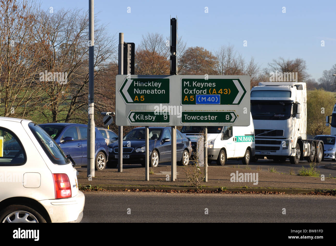 A5 road, Watling Street, at Weedon, Northamptonshire, England, UK Stock Photohttps://www.alamy.com/image-license-details/?v=1https://www.alamy.com/stock-photo-a5-road-watling-street-at-weedon-northamptonshire-england-uk-32753601.html
RMBW81FD–A5 road, Watling Street, at Weedon, Northamptonshire, England, UK
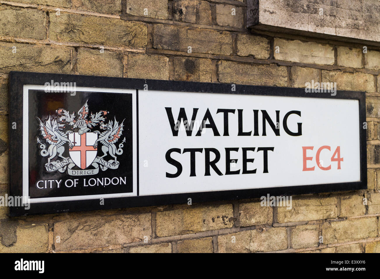 Watling street road sign-London Stock Photohttps://www.alamy.com/image-license-details/?v=1https://www.alamy.com/stock-photo-watling-street-road-sign-london-71277338.html
RME3XXY6–Watling street road sign-London
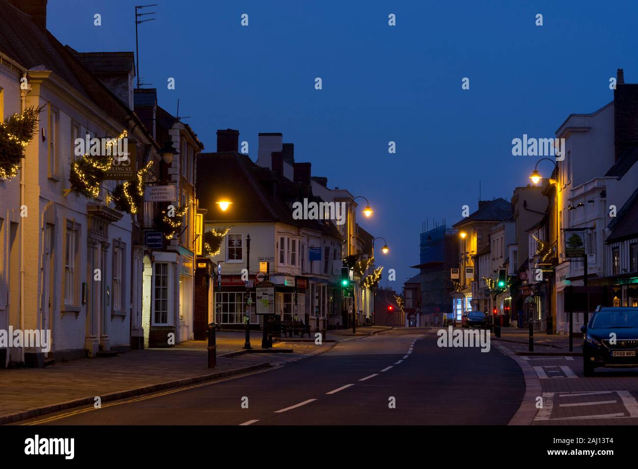 Watling Street at dawn at Christmas, Towcester, Northamptonshire, England, UK Stock Photohttps://www.alamy.com/image-license-details/?v=1https://www.alamy.com/watling-street-at-dawn-at-christmas-towcester-northamptonshire-england-uk-image338085780.html
RM2AJ13T4–Watling Street at dawn at Christmas, Towcester, Northamptonshire, England, UK
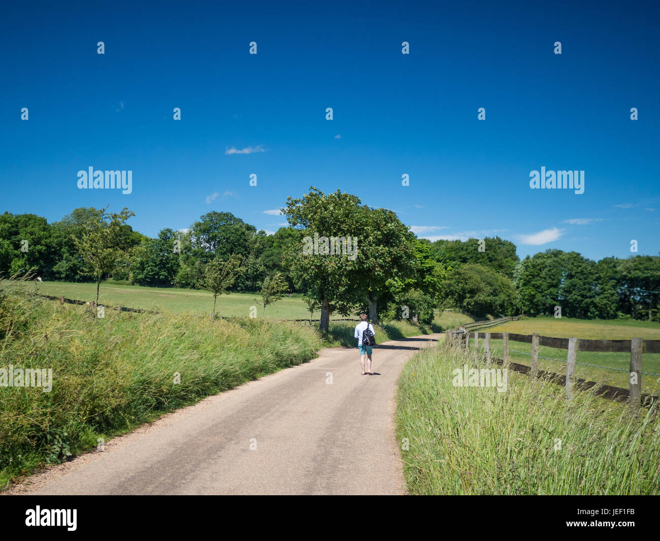 A hiker walks along Watling Street, a roman road near St Albans, Hertfordshire, England. Stock Photohttps://www.alamy.com/image-license-details/?v=1https://www.alamy.com/stock-photo-a-hiker-walks-along-watling-street-a-roman-road-near-st-albans-hertfordshire-146618623.html
RFJEF1FB–A hiker walks along Watling Street, a roman road near St Albans, Hertfordshire, England.
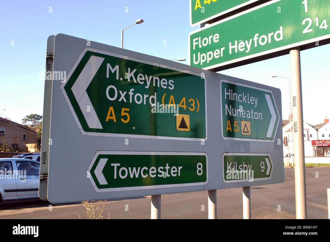 Sign on A5 road, Watling Street, at Weedon, Northamptonshire, England, UK Stock Photohttps://www.alamy.com/image-license-details/?v=1https://www.alamy.com/stock-photo-sign-on-a5-road-watling-street-at-weedon-northamptonshire-england-32753668.html
RMBW81HT–Sign on A5 road, Watling Street, at Weedon, Northamptonshire, England, UK
 Main Road the A5 known as Watling street runs through the Village of Betwys Y Coed in autumn known as the gateway to Snowdonia Stock Photohttps://www.alamy.com/image-license-details/?v=1https://www.alamy.com/stock-photo-main-road-the-a5-known-as-watling-street-runs-through-the-village-76515249.html
RFECDFYD–Main Road the A5 known as Watling street runs through the Village of Betwys Y Coed in autumn known as the gateway to Snowdonia
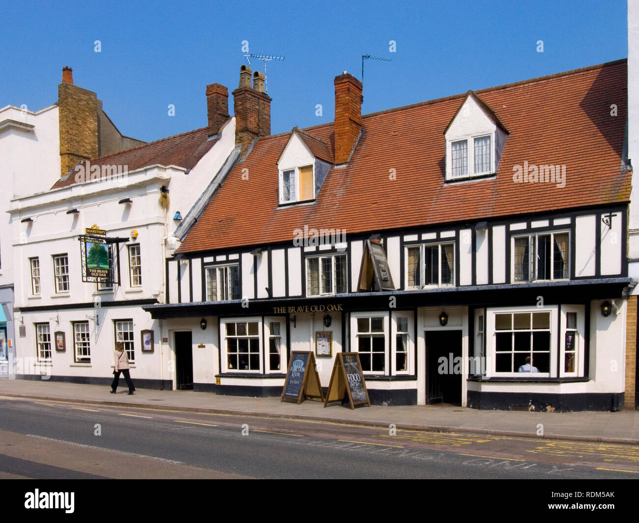 The Brave Old Oak, Towcester Stock Photohttps://www.alamy.com/image-license-details/?v=1https://www.alamy.com/the-brave-old-oak-towcester-image232168571.html
RMRDM5AK–The Brave Old Oak, Towcester
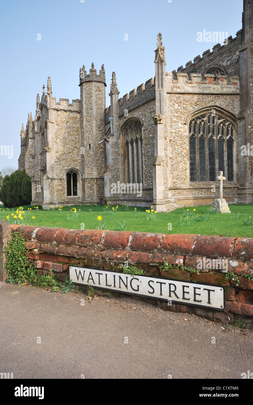 Watling street Stock Photohttps://www.alamy.com/image-license-details/?v=1https://www.alamy.com/stock-photo-watling-street-35625520.html
RMC1XTM0–Watling street
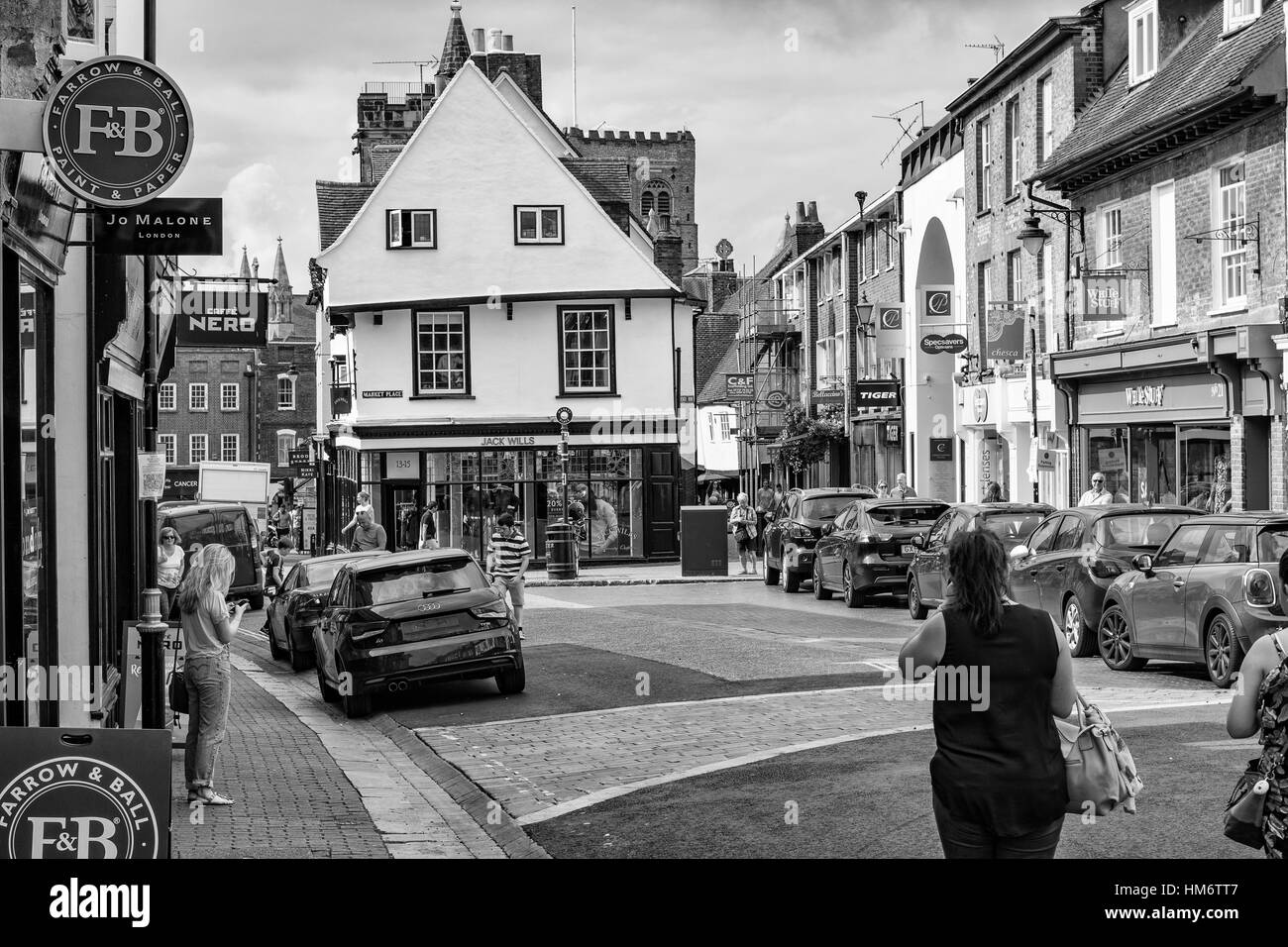 St. Albans, High Street, Hertfordshire Stock Photohttps://www.alamy.com/image-license-details/?v=1https://www.alamy.com/stock-photo-st-albans-high-street-hertfordshire-132916903.html
RFHM6TT7–St. Albans, High Street, Hertfordshire
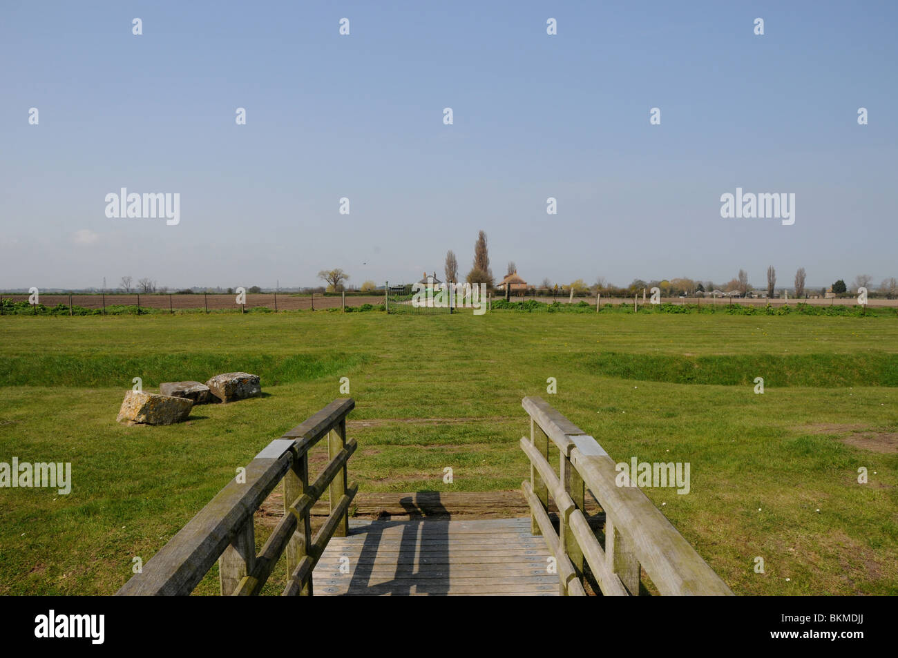 The start of Watling Street at Richborough Castle (Roman Rutupiae) in Kent. Stock Photohttps://www.alamy.com/image-license-details/?v=1https://www.alamy.com/stock-photo-the-start-of-watling-street-at-richborough-castle-roman-rutupiae-in-29338586.html
RFBKMDJJ–The start of Watling Street at Richborough Castle (Roman Rutupiae) in Kent.
 View of The Peahen bar at the intersection of London Road and Holywell Hill, St Albans, Hertfordshire, England Stock Photohttps://www.alamy.com/image-license-details/?v=1https://www.alamy.com/view-of-the-peahen-bar-at-the-intersection-of-london-road-and-holywell-hill-st-albans-hertfordshire-england-image223467728.html
RFPYFRA8–View of The Peahen bar at the intersection of London Road and Holywell Hill, St Albans, Hertfordshire, England
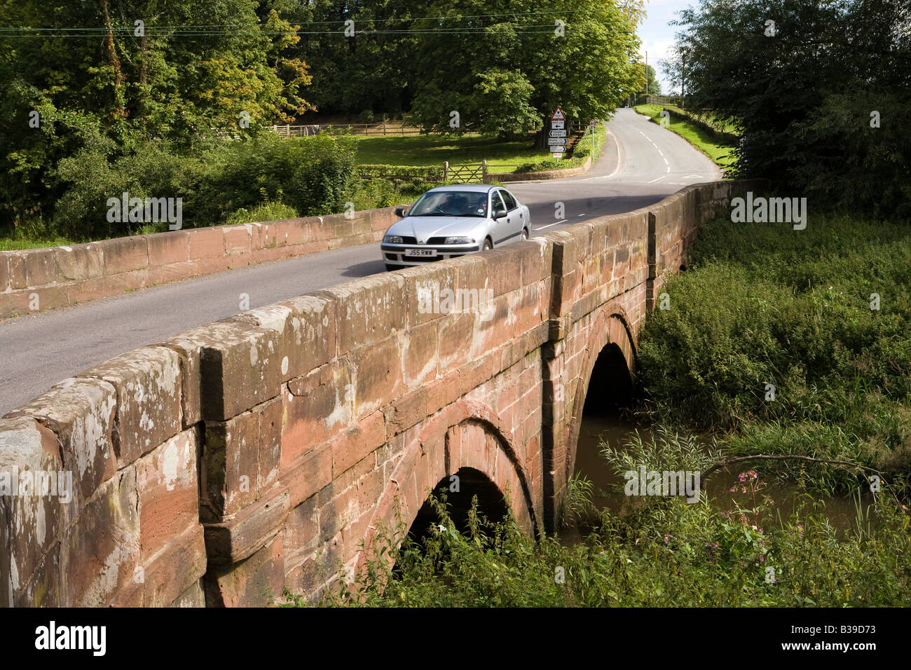 UK Cheshire Aldford car crossing bridge over River Dee at ford on Watling Street Roman Road Stock Photohttps://www.alamy.com/image-license-details/?v=1https://www.alamy.com/stock-photo-uk-cheshire-aldford-car-crossing-bridge-over-river-dee-at-ford-on-19262295.html
RMB39D73–UK Cheshire Aldford car crossing bridge over River Dee at ford on Watling Street Roman Road
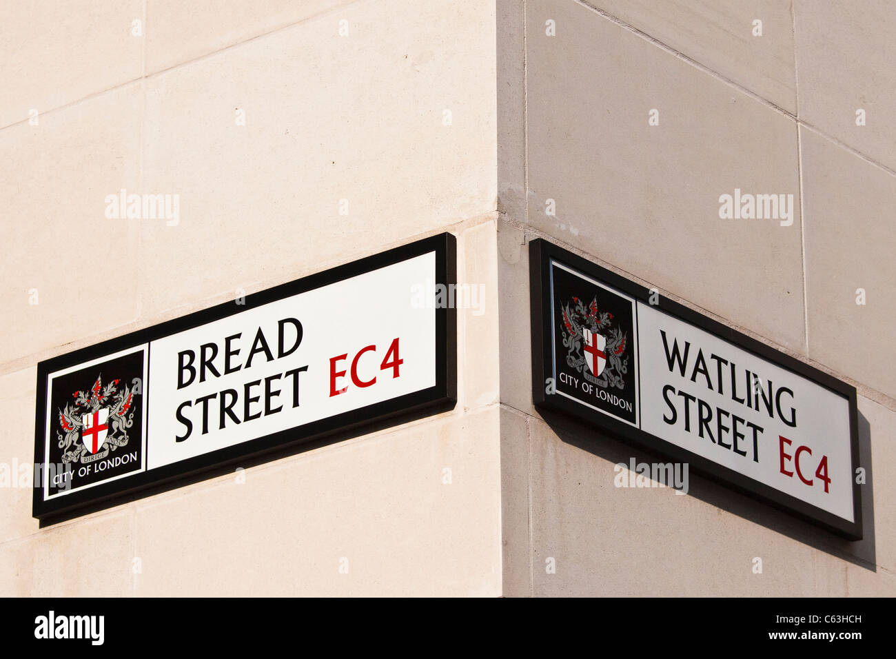 Watling street & Bread street EC4 street sign Stock Photohttps://www.alamy.com/image-license-details/?v=1https://www.alamy.com/stock-photo-watling-street-bread-street-ec4-street-sign-38188209.html
RMC63HCH–Watling street & Bread street EC4 street sign
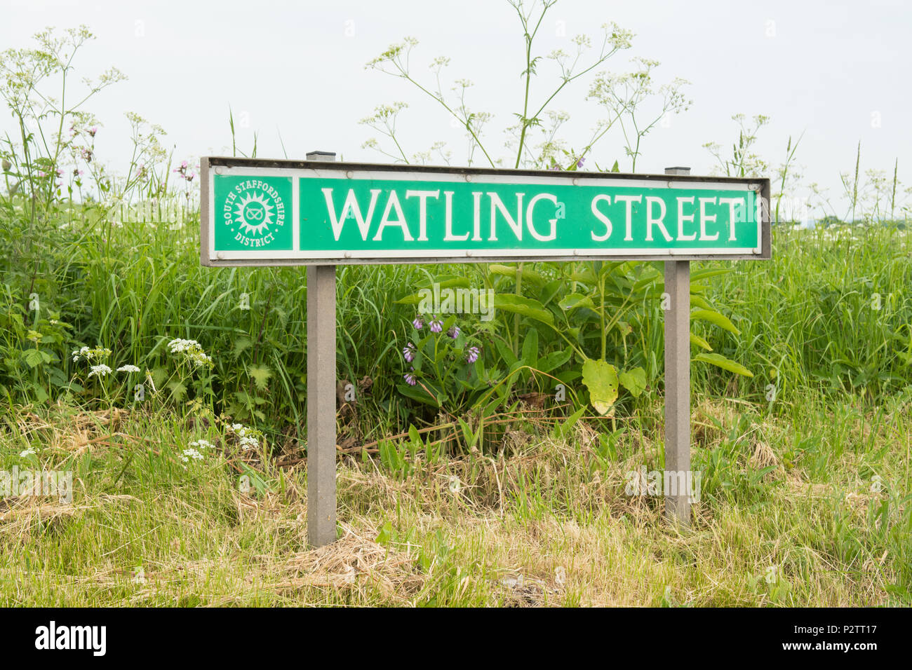 Watling Street sign, Staffordshire, England, UK Stock Photohttps://www.alamy.com/image-license-details/?v=1https://www.alamy.com/watling-street-sign-staffordshire-england-uk-image208299427.html
RFP2TT17–Watling Street sign, Staffordshire, England, UK
 North from Ragleth Hill over Church Stretton village, Shropshire, England. Watling Street Roman Road and Caer Caradoc hill fort Stock Photohttps://www.alamy.com/image-license-details/?v=1https://www.alamy.com/north-from-ragleth-hill-over-church-stretton-village-shropshire-england-watling-street-roman-road-and-caer-caradoc-hill-fort-image612972584.html
RM2XH78P0–North from Ragleth Hill over Church Stretton village, Shropshire, England. Watling Street Roman Road and Caer Caradoc hill fort
 City of London street sign on Watling Street, EC4. Stock Photohttps://www.alamy.com/image-license-details/?v=1https://www.alamy.com/stock-photo-city-of-london-street-sign-on-watling-street-ec4-134106178.html
RMHP51PA–City of London street sign on Watling Street, EC4.
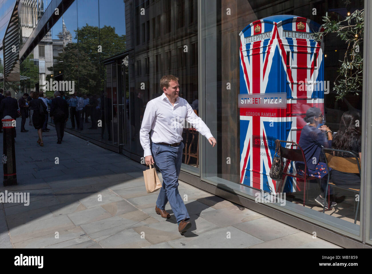 Lunchtime City workers walk past the Union Jack-themes telephone kiosk in celebrity chef Gordon Ramsey's restaurant Bread Street Kitchen on (the former Roman thoroughfare) Watling Street, in the City of London, the capital's financial district (aka the Square Mile), on 22nd August 2019, in London, England. Stock Photohttps://www.alamy.com/image-license-details/?v=1https://www.alamy.com/lunchtime-city-workers-walk-past-the-union-jack-themes-telephone-kiosk-in-celebrity-chef-gordon-ramseys-restaurant-bread-street-kitchen-on-the-former-roman-thoroughfare-watling-street-in-the-city-of-london-the-capitals-financial-district-aka-the-square-mile-on-22nd-august-2019-in-london-england-image264945109.html
RMWB1859–Lunchtime City workers walk past the Union Jack-themes telephone kiosk in celebrity chef Gordon Ramsey's restaurant Bread Street Kitchen on (the former Roman thoroughfare) Watling Street, in the City of London, the capital's financial district (aka the Square Mile), on 22nd August 2019, in London, England.
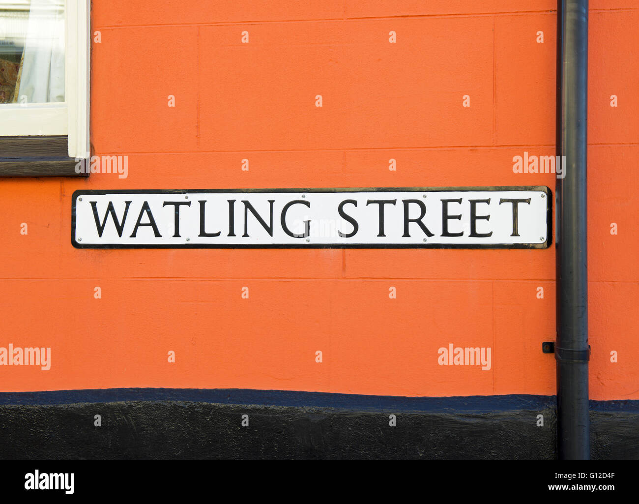 Sign for Watling Street in Thaxted, Essex, England UK Stock Photohttps://www.alamy.com/image-license-details/?v=1https://www.alamy.com/stock-photo-sign-for-watling-street-in-thaxted-essex-england-uk-103931087.html
RMG12D4F–Sign for Watling Street in Thaxted, Essex, England UK
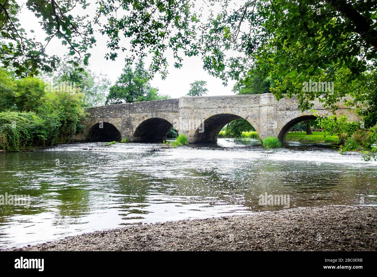 Roman bridge on the A4113 over the River Teme in the village of Leintwardine (Bravonium in Roman times), on the Herefordshire / Shropshire border. Stock Photohttps://www.alamy.com/image-license-details/?v=1https://www.alamy.com/roman-bridge-on-the-a4113-over-the-river-teme-in-the-village-of-leintwardine-bravonium-in-roman-times-on-the-herefordshire-shropshire-border-image351594863.html
RM2BC0ERB–Roman bridge on the A4113 over the River Teme in the village of Leintwardine (Bravonium in Roman times), on the Herefordshire / Shropshire border.
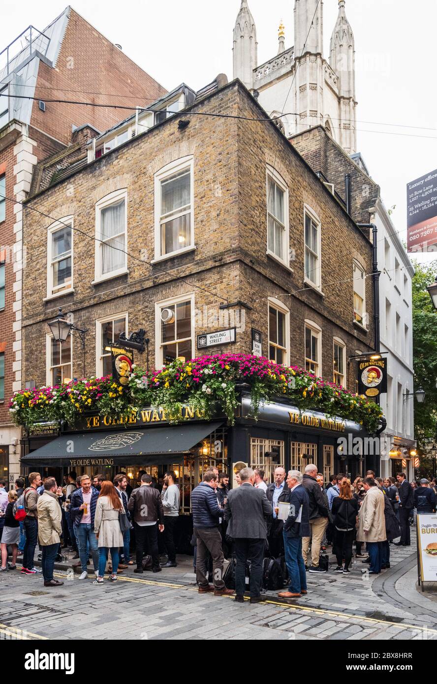 Sir Christopher Wren is said to have built 'Ye Olde Watling' pub while St Paul's Cathedral was being Built. Watling Street, London, UK. Stock Photohttps://www.alamy.com/image-license-details/?v=1https://www.alamy.com/sir-christopher-wren-is-said-to-have-built-ye-olde-watling-pub-while-st-pauls-cathedral-was-being-built-watling-street-london-uk-image360378027.html
RM2BX8HRR–Sir Christopher Wren is said to have built 'Ye Olde Watling' pub while St Paul's Cathedral was being Built. Watling Street, London, UK.
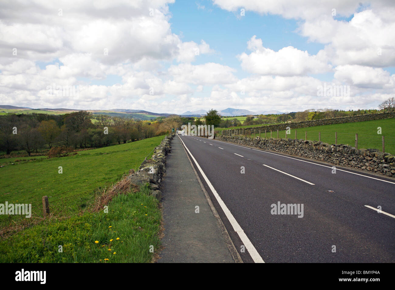 The A5 road (Watling Street) runs through The Snowdonia National Park Stock Photohttps://www.alamy.com/image-license-details/?v=1https://www.alamy.com/stock-photo-the-a5-road-watling-street-runs-through-the-snowdonia-national-park-30113562.html
RMBMYP4A–The A5 road (Watling Street) runs through The Snowdonia National Park
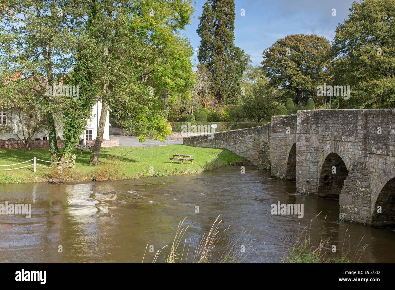 River Teme at Leintwardine flowing under the five arched 18th century bridge, Herefordshire, England, UK Stock Photohttps://www.alamy.com/image-license-details/?v=1https://www.alamy.com/stock-photo-river-teme-at-leintwardine-flowing-under-the-five-arched-18th-century-74488861.html
RME9578D–River Teme at Leintwardine flowing under the five arched 18th century bridge, Herefordshire, England, UK
 A pale country road beneath clear blue skies and receding into a distant vanishing point on a sunny day near St Albans, Hertfordshire, England. Stock Photohttps://www.alamy.com/image-license-details/?v=1https://www.alamy.com/stock-photo-a-pale-country-road-beneath-clear-blue-skies-and-receding-into-a-distant-146618687.html
RFJEF1HK–A pale country road beneath clear blue skies and receding into a distant vanishing point on a sunny day near St Albans, Hertfordshire, England.
 A5 road, Watling Street, Northamptonshire, England, UK Stock Photohttps://www.alamy.com/image-license-details/?v=1https://www.alamy.com/stock-photo-a5-road-watling-street-northamptonshire-england-uk-32777269.html
RMBW93MN–A5 road, Watling Street, Northamptonshire, England, UK
 Main Road the A5 known as Watling street runs through the Village of Betwys Y Coed in autumn known as the gateway to Snowdonia Stock Photohttps://www.alamy.com/image-license-details/?v=1https://www.alamy.com/stock-photo-main-road-the-a5-known-as-watling-street-runs-through-the-village-76133222.html
RFEBT4KJ–Main Road the A5 known as Watling street runs through the Village of Betwys Y Coed in autumn known as the gateway to Snowdonia
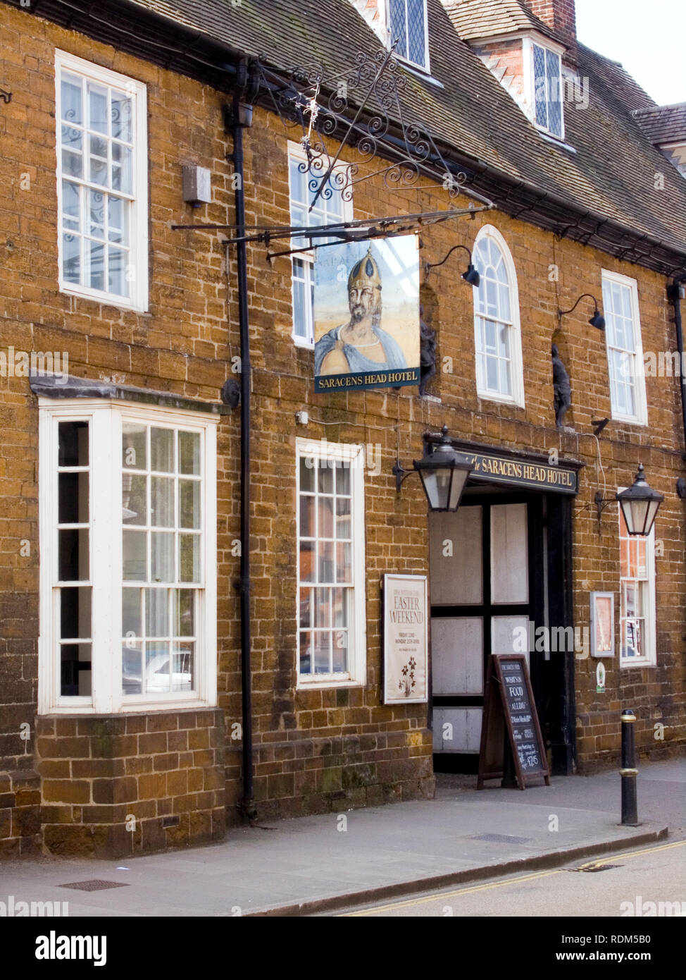 Saracens Head, Towcester Stock Photohttps://www.alamy.com/image-license-details/?v=1https://www.alamy.com/saracens-head-towcester-image232168580.html
RMRDM5B0–Saracens Head, Towcester
 Shot of the Slug and Lettuce public house in a large converted Victorian commercial property Stock Photohttps://www.alamy.com/image-license-details/?v=1https://www.alamy.com/stock-photo-shot-of-the-slug-and-lettuce-public-house-in-a-large-converted-victorian-22045229.html
RMB7T6WH–Shot of the Slug and Lettuce public house in a large converted Victorian commercial property
 The Memorial beside the main road of Eardisland, Herefordshire beside an old restored AA phone box. Stock Photohttps://www.alamy.com/image-license-details/?v=1https://www.alamy.com/stock-photo-the-memorial-beside-the-main-road-of-eardisland-herefordshire-beside-122019568.html
RMH2ED5M–The Memorial beside the main road of Eardisland, Herefordshire beside an old restored AA phone box.
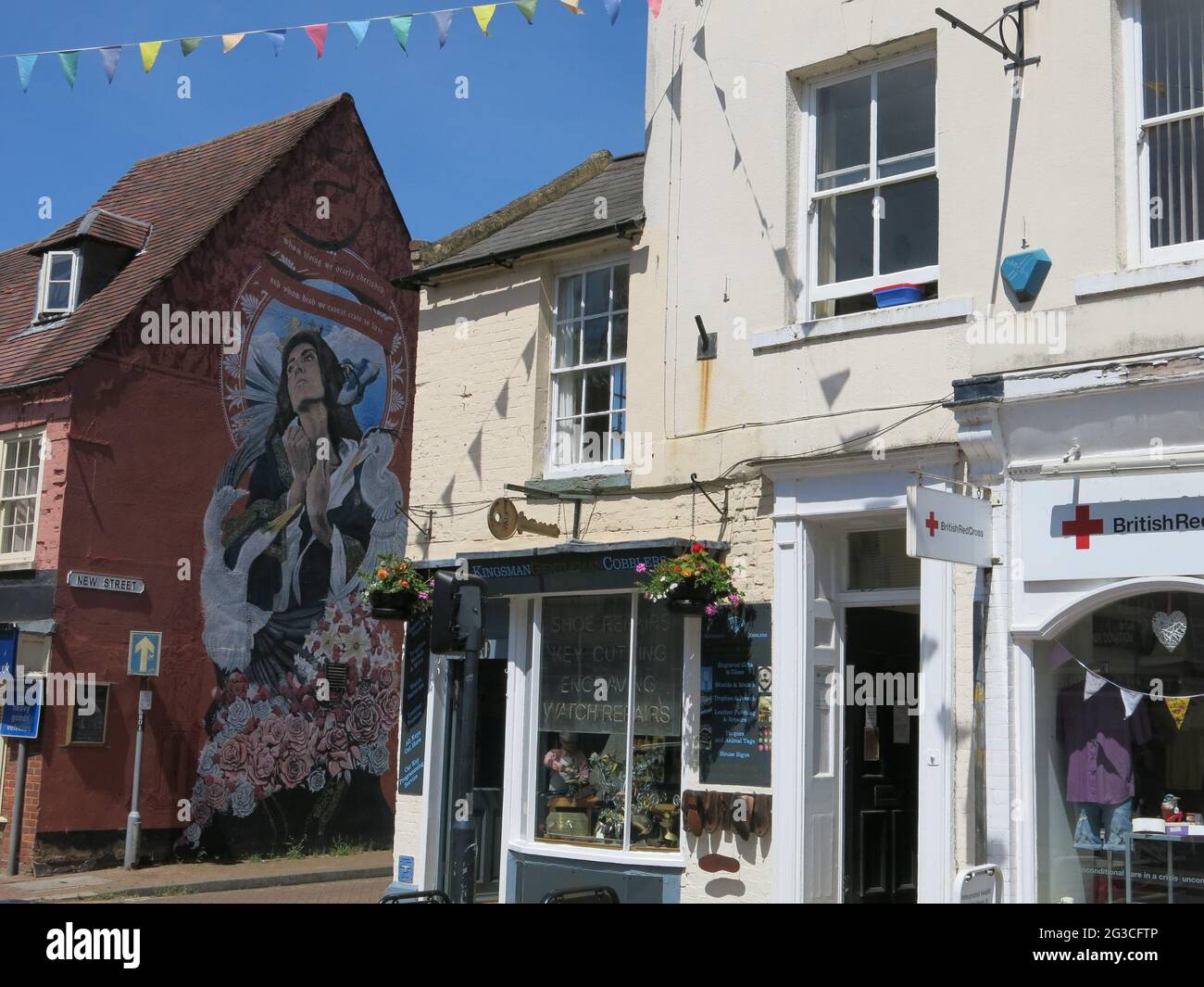 The High Street in Stony Stratford has been a thoroughfare since Roman times (Watling St) and is still a busy market town with retail & coffee shops. Stock Photohttps://www.alamy.com/image-license-details/?v=1https://www.alamy.com/the-high-street-in-stony-stratford-has-been-a-thoroughfare-since-roman-times-watling-st-and-is-still-a-busy-market-town-with-retail-coffee-shops-image432379046.html
RF2G3CFTP–The High Street in Stony Stratford has been a thoroughfare since Roman times (Watling St) and is still a busy market town with retail & coffee shops.
 View of The Peahen bar at the intersection of London Road and Holywell Hill from the Clock Tower, St Albans, Hertfordshire, England Stock Photohttps://www.alamy.com/image-license-details/?v=1https://www.alamy.com/view-of-the-peahen-bar-at-the-intersection-of-london-road-and-holywell-hill-from-the-clock-tower-st-albans-hertfordshire-england-image223467047.html
RFPYFPDY–View of The Peahen bar at the intersection of London Road and Holywell Hill from the Clock Tower, St Albans, Hertfordshire, England
 St Andrew's United Reformed Church in Watling Street, Canterbury, Kent, UK Stock Photohttps://www.alamy.com/image-license-details/?v=1https://www.alamy.com/st-andrews-united-reformed-church-in-watling-street-canterbury-kent-uk-image545784615.html
RF2PKXHRK–St Andrew's United Reformed Church in Watling Street, Canterbury, Kent, UK
 Street Scene with St Paul's Cathedral Stock Photohttps://www.alamy.com/image-license-details/?v=1https://www.alamy.com/street-scene-with-st-pauls-cathedral-image637423260.html
RF2S113TC–Street Scene with St Paul's Cathedral
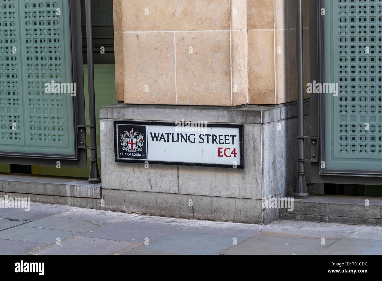 Line of the Roman Watling Street in the capital's district EC4 Stock Photohttps://www.alamy.com/image-license-details/?v=1https://www.alamy.com/line-of-the-roman-watling-street-in-the-capitals-district-ec4-image240976888.html
RMT01CDC–Line of the Roman Watling Street in the capital's district EC4
 North from Ragleth Hill over Church Stretton village, Shropshire, England to the Iron Agehill fort on top of Caer Caradoc Stock Photohttps://www.alamy.com/image-license-details/?v=1https://www.alamy.com/north-from-ragleth-hill-over-church-stretton-village-shropshire-england-to-the-iron-agehill-fort-on-top-of-caer-caradoc-image612973124.html
RM2XH79D8–North from Ragleth Hill over Church Stretton village, Shropshire, England to the Iron Agehill fort on top of Caer Caradoc
 Watling Street Bridge sign on canal bridge at Fazeley Junction Stock Photohttps://www.alamy.com/image-license-details/?v=1https://www.alamy.com/watling-street-bridge-sign-on-canal-bridge-at-fazeley-junction-image2516871.html
RMADX788–Watling Street Bridge sign on canal bridge at Fazeley Junction
 Lunchtime City workers walk past the Union Jack-themes telephone kiosk in celebrity chef Gordon Ramsey's restaurant Bread Street Kitchen on (the former Roman thoroughfare) Watling Street, in the City of London, the capital's financial district (aka the Square Mile), on 22nd August 2019, in London, England. Stock Photohttps://www.alamy.com/image-license-details/?v=1https://www.alamy.com/lunchtime-city-workers-walk-past-the-union-jack-themes-telephone-kiosk-in-celebrity-chef-gordon-ramseys-restaurant-bread-street-kitchen-on-the-former-roman-thoroughfare-watling-street-in-the-city-of-london-the-capitals-financial-district-aka-the-square-mile-on-22nd-august-2019-in-london-england-image264945103.html
RMWB1853–Lunchtime City workers walk past the Union Jack-themes telephone kiosk in celebrity chef Gordon Ramsey's restaurant Bread Street Kitchen on (the former Roman thoroughfare) Watling Street, in the City of London, the capital's financial district (aka the Square Mile), on 22nd August 2019, in London, England.
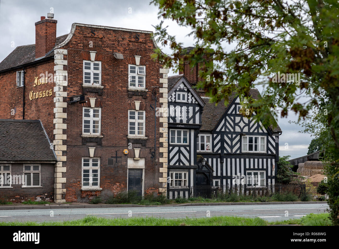 Four Crosses, Marsden pub. Ceased trading 2016. Now a private dwelling owned by Lesley Walker Stock Photohttps://www.alamy.com/image-license-details/?v=1https://www.alamy.com/four-crosses-marsden-pub-ceased-trading-2016-now-a-private-dwelling-owned-by-lesley-walker-image223873484.html
RFR068WG–Four Crosses, Marsden pub. Ceased trading 2016. Now a private dwelling owned by Lesley Walker
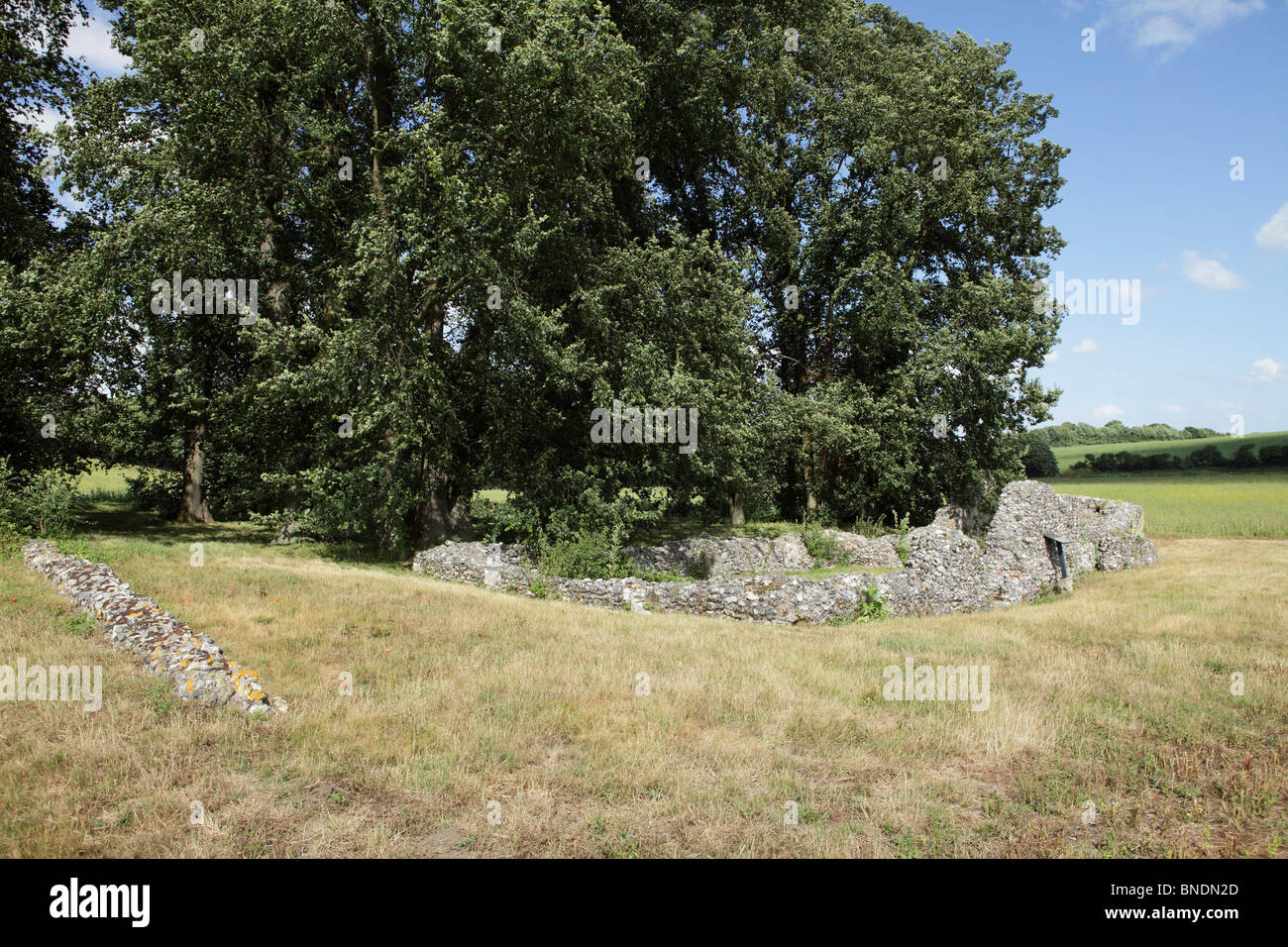 An old religious building in Kent Stock Photohttps://www.alamy.com/image-license-details/?v=1https://www.alamy.com/stock-photo-an-old-religious-building-in-kent-30420053.html
RMBNDN2D–An old religious building in Kent
 Aerial view of Wall near Lichfield Staffordshire England Uk with Roman ruins on left and Watling Street A5 road Stock Photohttps://www.alamy.com/image-license-details/?v=1https://www.alamy.com/stock-photo-aerial-view-of-wall-near-lichfield-staffordshire-england-uk-with-roman-22779914.html
RMB91M0A–Aerial view of Wall near Lichfield Staffordshire England Uk with Roman ruins on left and Watling Street A5 road
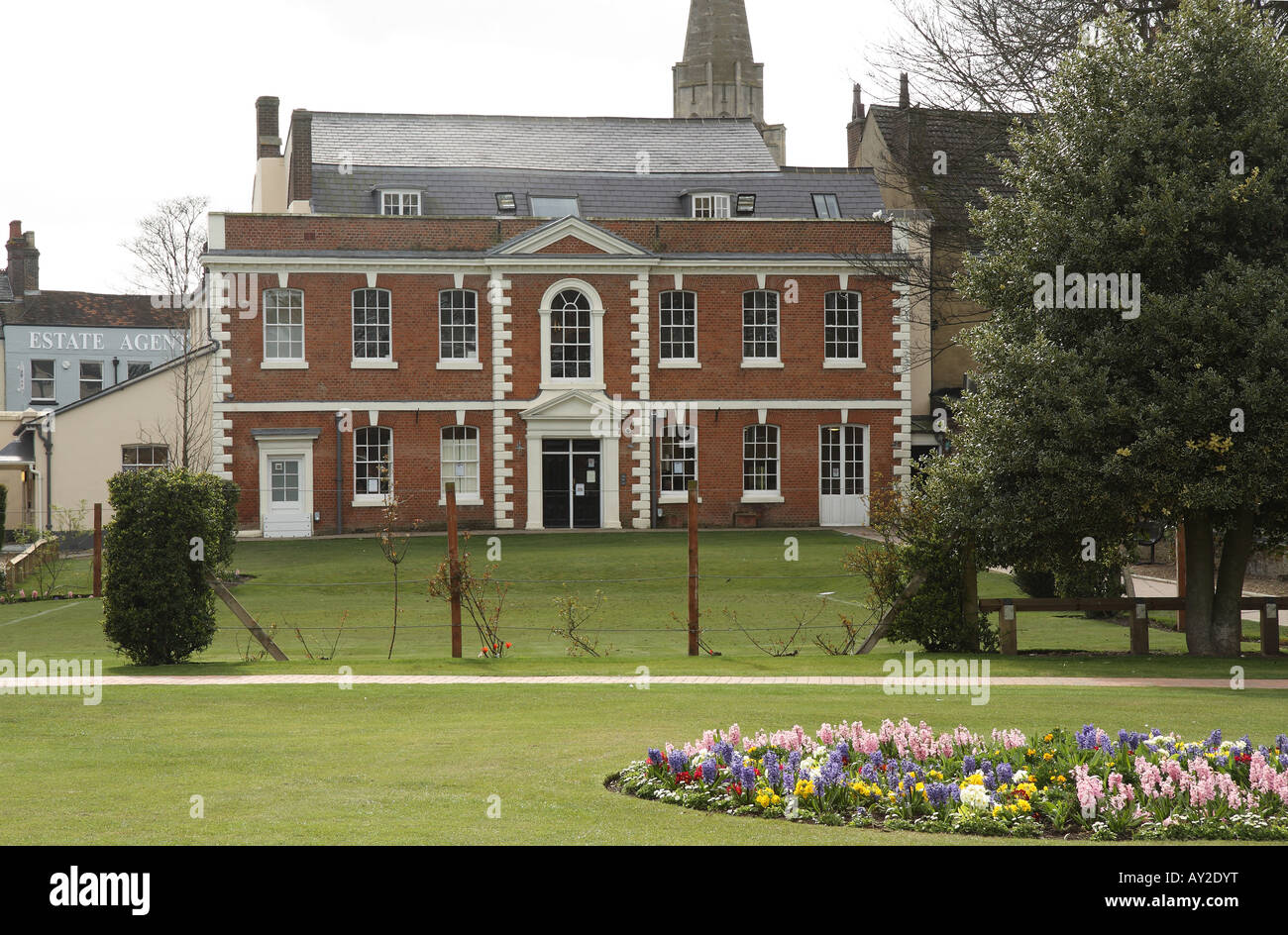 Priory House Heritage Centre Dunstable Stock Photohttps://www.alamy.com/image-license-details/?v=1https://www.alamy.com/stock-photo-priory-house-heritage-centre-dunstable-16970459.html
RMAY2DYT–Priory House Heritage Centre Dunstable
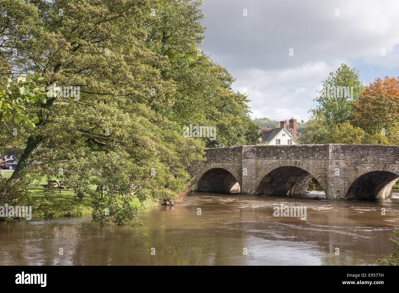 River Teme at Leintwardine flowing under the five arched 18th century bridge, Herefordshire, England, UK Stock Photohttps://www.alamy.com/image-license-details/?v=1https://www.alamy.com/stock-photo-river-teme-at-leintwardine-flowing-under-the-five-arched-18th-century-74488837.html
RME9577H–River Teme at Leintwardine flowing under the five arched 18th century bridge, Herefordshire, England, UK
 A pale country road beneath clear blue skies and receding into a distant vanishing point on a sunny day near St Albans, Hertfordshire, England. Stock Photohttps://www.alamy.com/image-license-details/?v=1https://www.alamy.com/stock-photo-a-pale-country-road-beneath-clear-blue-skies-and-receding-into-a-distant-146618681.html
RFJEF1HD–A pale country road beneath clear blue skies and receding into a distant vanishing point on a sunny day near St Albans, Hertfordshire, England.
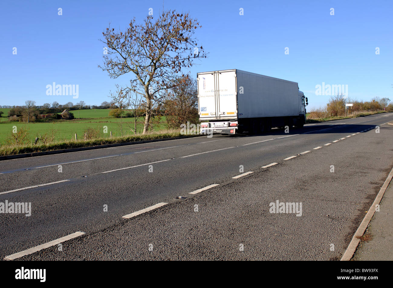 A5 road, Watling Street, Northamptonshire, England, UK Stock Photohttps://www.alamy.com/image-license-details/?v=1https://www.alamy.com/stock-photo-a5-road-watling-street-northamptonshire-england-uk-32777134.html
RMBW93FX–A5 road, Watling Street, Northamptonshire, England, UK
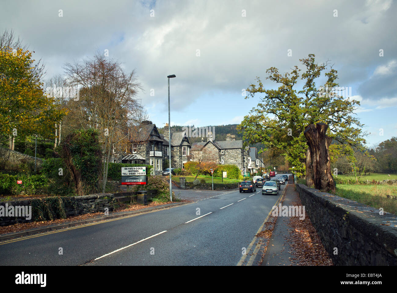 Main Road the A5 known as Watling street runs through the Village of Betwys Y Coed in autumn known as the gateway to Snowdonia Stock Photohttps://www.alamy.com/image-license-details/?v=1https://www.alamy.com/stock-photo-main-road-the-a5-known-as-watling-street-runs-through-the-village-76133186.html
RFEBT4JA–Main Road the A5 known as Watling street runs through the Village of Betwys Y Coed in autumn known as the gateway to Snowdonia
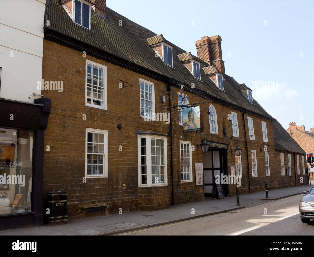 Saracens Head, Towcester Stock Photohttps://www.alamy.com/image-license-details/?v=1https://www.alamy.com/saracens-head-towcester-image232168586.html
RMRDM5B6–Saracens Head, Towcester
 Roman Army (Reenactor) Stock Photohttps://www.alamy.com/image-license-details/?v=1https://www.alamy.com/roman-army-reenactor-image222714003.html
RFPX9DYF–Roman Army (Reenactor)
 Old half timbered cottages punctuate the landscape of Eardisland, Herefordshire. Stock Photohttps://www.alamy.com/image-license-details/?v=1https://www.alamy.com/stock-photo-old-half-timbered-cottages-punctuate-the-landscape-of-eardisland-herefordshire-122019524.html
RMH2ED44–Old half timbered cottages punctuate the landscape of Eardisland, Herefordshire.
 The High Street in Stony Stratford has been a thoroughfare since Roman times (Watling St) and is still a busy market town with retail & coffee shops. Stock Photohttps://www.alamy.com/image-license-details/?v=1https://www.alamy.com/the-high-street-in-stony-stratford-has-been-a-thoroughfare-since-roman-times-watling-st-and-is-still-a-busy-market-town-with-retail-coffee-shops-image432379050.html
RF2G3CFTX–The High Street in Stony Stratford has been a thoroughfare since Roman times (Watling St) and is still a busy market town with retail & coffee shops.
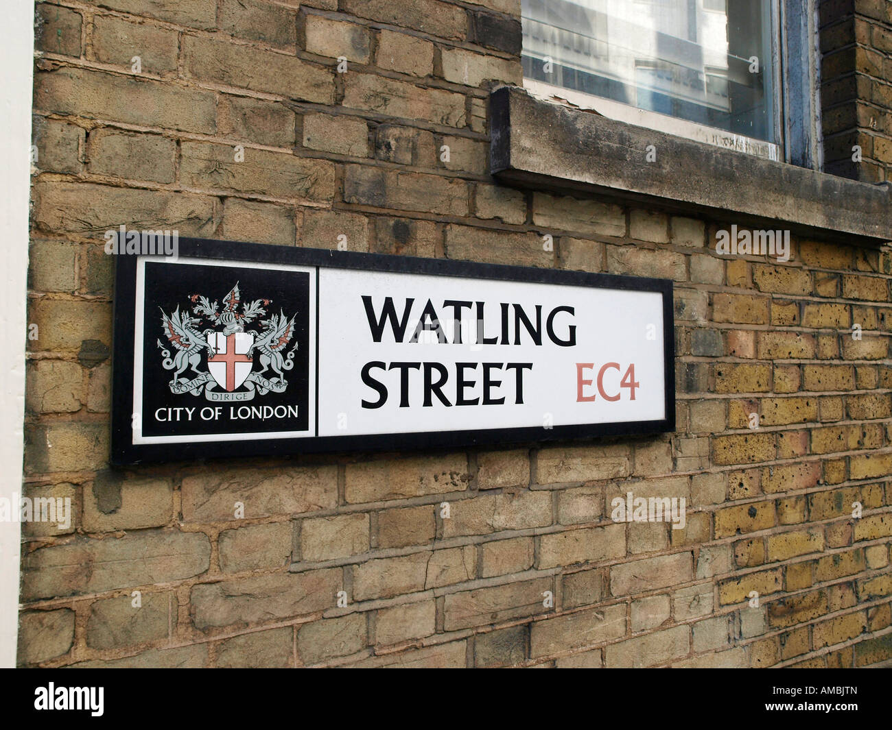 Watling Street sign in The City of London England UK GB Stock Photohttps://www.alamy.com/image-license-details/?v=1https://www.alamy.com/stock-photo-watling-street-sign-in-the-city-of-london-england-uk-gb-15212804.html
RMAMBJTN–Watling Street sign in The City of London England UK GB
 Sittingbourne is an industrial town in Kent, south-east England, 17 miles (27 km) from Canterbury and 45 miles (72 km) from London, beside the Roman Watling Street, an ancient British trackway used by the Romans and the Anglo-Saxons and next to the Swale, a strip of sea separating mainland Kent from the Isle of Sheppey. The town became prominent after the death of Thomas Becket in 1170, since it provided a convenient resting point on the road from London to Canterbury and Dover. Stock Photohttps://www.alamy.com/image-license-details/?v=1https://www.alamy.com/sittingbourne-is-an-industrial-town-in-kent-south-east-england-17-miles-27-km-from-canterbury-and-45-miles-72-km-from-london-beside-the-roman-watling-street-an-ancient-british-trackway-used-by-the-romans-and-the-anglo-saxons-and-next-to-the-swale-a-strip-of-sea-separating-mainland-kent-from-the-isle-of-sheppey-the-town-became-prominent-after-the-death-of-thomas-becket-in-1170-since-it-provided-a-convenient-resting-point-on-the-road-from-london-to-canterbury-and-dover-image510702547.html
RM2MJTE8K–Sittingbourne is an industrial town in Kent, south-east England, 17 miles (27 km) from Canterbury and 45 miles (72 km) from London, beside the Roman Watling Street, an ancient British trackway used by the Romans and the Anglo-Saxons and next to the Swale, a strip of sea separating mainland Kent from the Isle of Sheppey. The town became prominent after the death of Thomas Becket in 1170, since it provided a convenient resting point on the road from London to Canterbury and Dover.
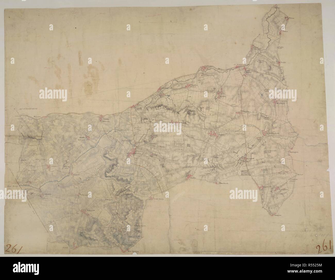 Welford. This drawing depicts the boundary of Leicestershire and Northamptonshire. The county border is indicated at top left by a pecked line following the course of the River Avon. Relative relief is depicted by brushwork interlining ('hachuring') and ink wash. A section of the Watling Street is shown at bottom left. This Roman road ran from London to Wroxeter in Wales, via St. Albans and Leicester (where it intersected the Fosse Way, the Roman road from Exeter to Lincoln). Triangulation points and pencil rays used to plot the survey of the region are clearly visible at the top of the sheet. Stock Photohttps://www.alamy.com/image-license-details/?v=1https://www.alamy.com/welford-this-drawing-depicts-the-boundary-of-leicestershire-and-northamptonshire-the-county-border-is-indicated-at-top-left-by-a-pecked-line-following-the-course-of-the-river-avon-relative-relief-is-depicted-by-brushwork-interlining-hachuring-and-ink-wash-a-section-of-the-watling-street-is-shown-at-bottom-left-this-roman-road-ran-from-london-to-wroxeter-in-wales-via-st-albans-and-leicester-where-it-intersected-the-fosse-way-the-roman-road-from-exeter-to-lincoln-triangulation-points-and-pencil-rays-used-to-plot-the-survey-of-the-region-are-clearly-visible-at-the-top-of-the-sheet-image226919552.html
RMR5525M–Welford. This drawing depicts the boundary of Leicestershire and Northamptonshire. The county border is indicated at top left by a pecked line following the course of the River Avon. Relative relief is depicted by brushwork interlining ('hachuring') and ink wash. A section of the Watling Street is shown at bottom left. This Roman road ran from London to Wroxeter in Wales, via St. Albans and Leicester (where it intersected the Fosse Way, the Roman road from Exeter to Lincoln). Triangulation points and pencil rays used to plot the survey of the region are clearly visible at the top of the sheet.
 Line of the Roman Watling Street in the capital's district EC4 Stock Photohttps://www.alamy.com/image-license-details/?v=1https://www.alamy.com/line-of-the-roman-watling-street-in-the-capitals-district-ec4-image240976891.html
RMT01CDF–Line of the Roman Watling Street in the capital's district EC4
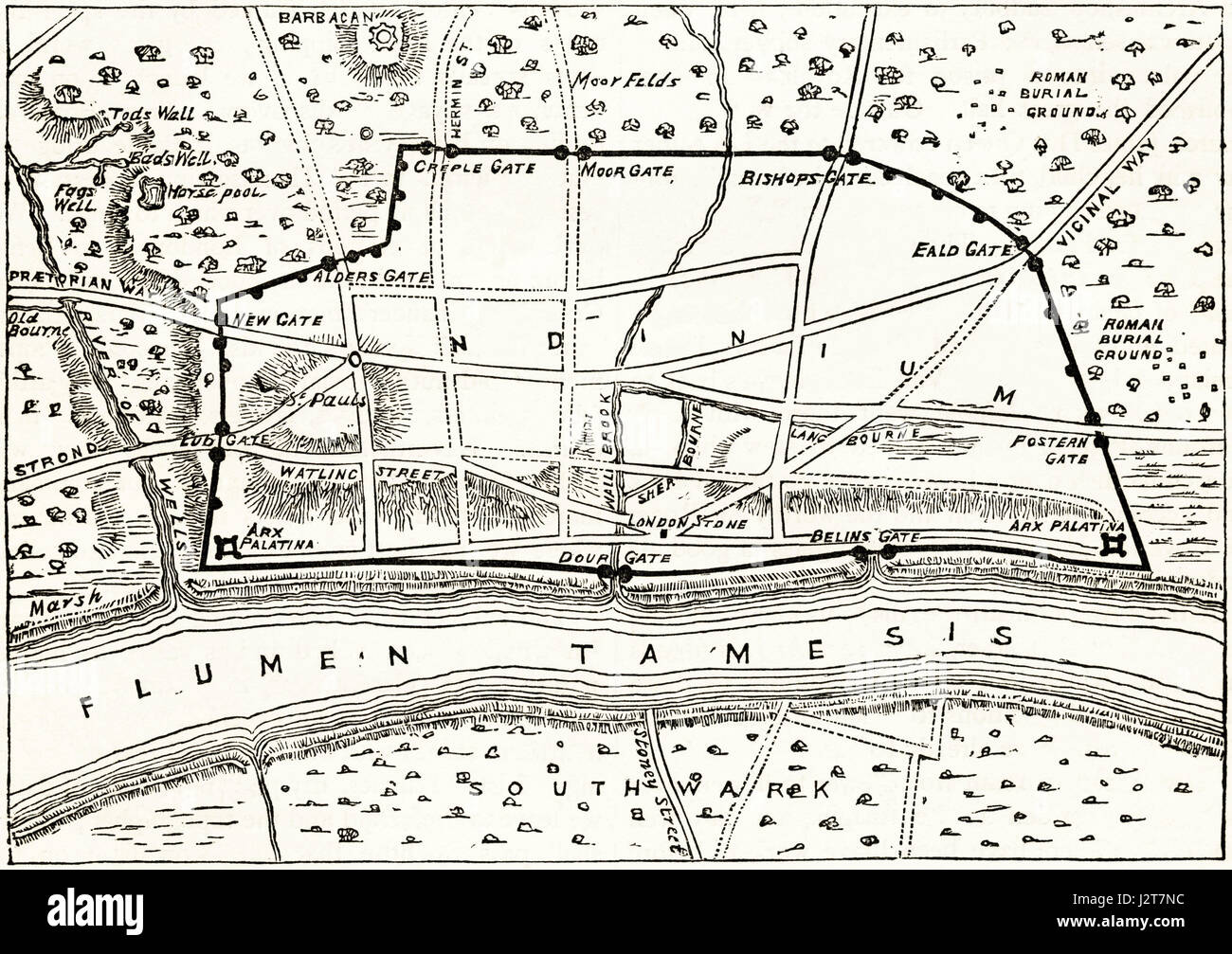 Map of Roman London showing the ancient walls. Victorian engraving circa 1880. Stock Photohttps://www.alamy.com/image-license-details/?v=1https://www.alamy.com/stock-photo-map-of-roman-london-showing-the-ancient-walls-victorian-engraving-139445192.html
RMJ2T7NC–Map of Roman London showing the ancient walls. Victorian engraving circa 1880.
 London Street sign for Watling Street the name for the old Roman Road from Londinium to York Stock Photohttps://www.alamy.com/image-license-details/?v=1https://www.alamy.com/stock-photo-london-street-sign-for-watling-street-the-name-for-the-old-roman-road-17145881.html
RMAYN42J–London Street sign for Watling Street the name for the old Roman Road from Londinium to York
 Lunchtime City workers walk past the Union Jack-themes telephone kiosk in celebrity chef Gordon Ramsey's restaurant Bread Street Kitchen on (the former Roman thoroughfare) Watling Street, in the City of London, the capital's financial district (aka the Square Mile), on 22nd August 2019, in London, England. Stock Photohttps://www.alamy.com/image-license-details/?v=1https://www.alamy.com/lunchtime-city-workers-walk-past-the-union-jack-themes-telephone-kiosk-in-celebrity-chef-gordon-ramseys-restaurant-bread-street-kitchen-on-the-former-roman-thoroughfare-watling-street-in-the-city-of-london-the-capitals-financial-district-aka-the-square-mile-on-22nd-august-2019-in-london-england-image264945101.html
RMWB1851–Lunchtime City workers walk past the Union Jack-themes telephone kiosk in celebrity chef Gordon Ramsey's restaurant Bread Street Kitchen on (the former Roman thoroughfare) Watling Street, in the City of London, the capital's financial district (aka the Square Mile), on 22nd August 2019, in London, England.
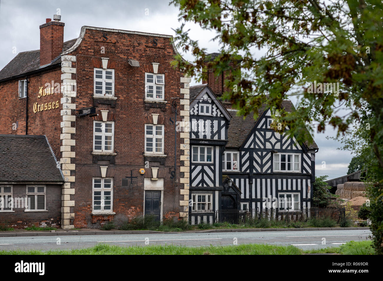 Four Crosses, Marsden pub. Ceased trading 2016. Now a private dwelling owned by Lesley Walker Stock Photohttps://www.alamy.com/image-license-details/?v=1https://www.alamy.com/four-crosses-marsden-pub-ceased-trading-2016-now-a-private-dwelling-owned-by-lesley-walker-image223873939.html
RFR069DR–Four Crosses, Marsden pub. Ceased trading 2016. Now a private dwelling owned by Lesley Walker
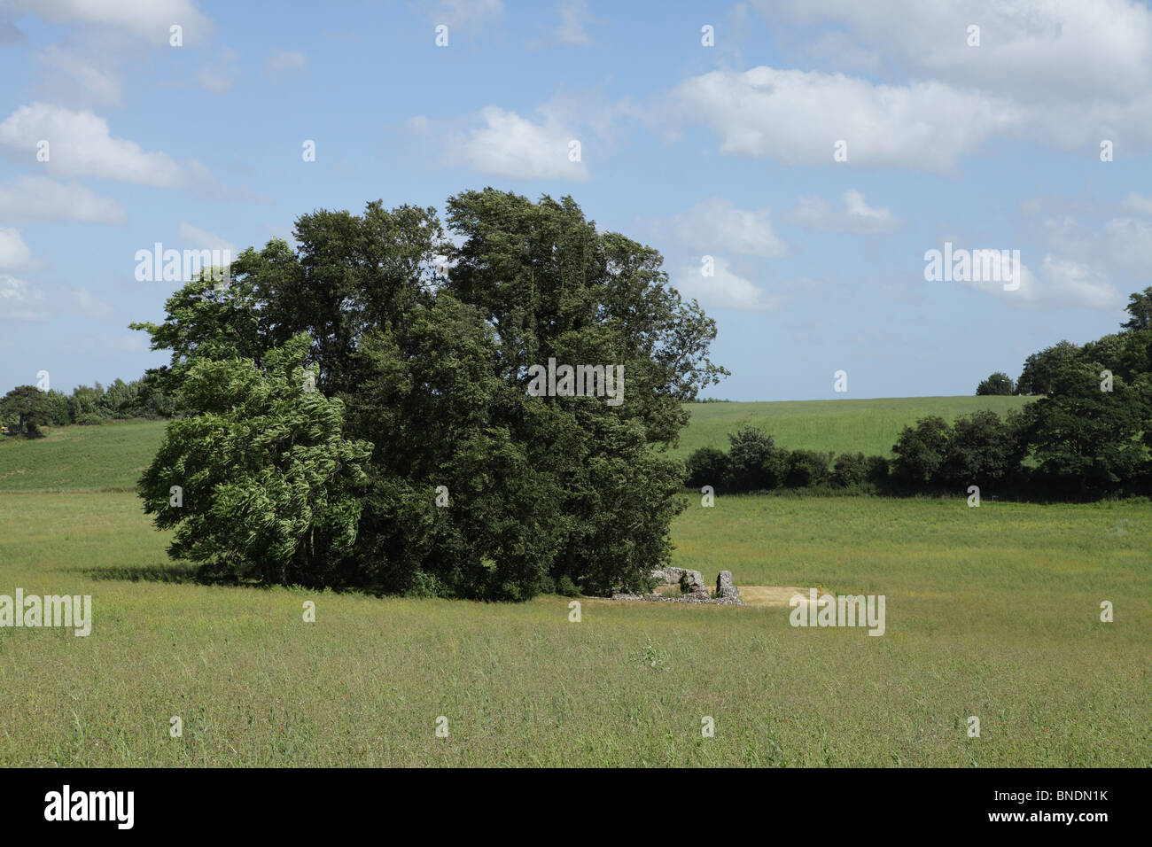 An old religious building in Kent Stock Photohttps://www.alamy.com/image-license-details/?v=1https://www.alamy.com/stock-photo-an-old-religious-building-in-kent-30420031.html
RMBNDN1K–An old religious building in Kent
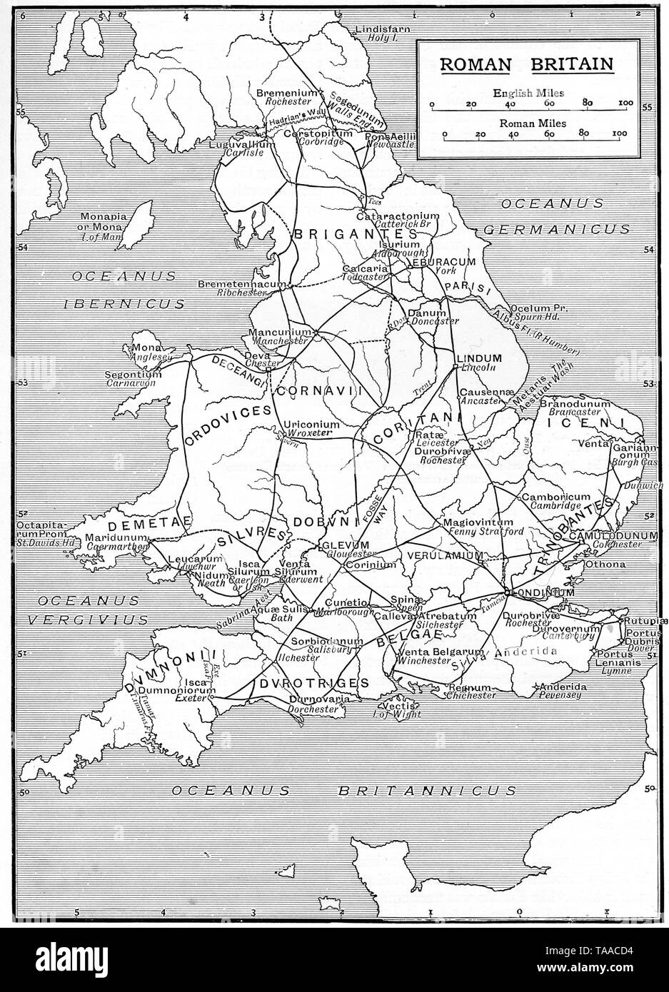 A map showing the infrastructure of Roman Britain, 1925. Stock Photohttps://www.alamy.com/image-license-details/?v=1https://www.alamy.com/a-map-showing-the-infrastructure-of-roman-britain-1925-image247321008.html
RMTAACD4–A map showing the infrastructure of Roman Britain, 1925.
 The Norman King Restaurant. A two story thatch roof building. The Royal Lodge of King Henry I Dunstable Bedfordshire (now demolished) Stock Photohttps://www.alamy.com/image-license-details/?v=1https://www.alamy.com/stock-photo-the-norman-king-restaurant-a-two-story-thatch-roof-building-the-royal-16975367.html
RMAY30GT–The Norman King Restaurant. A two story thatch roof building. The Royal Lodge of King Henry I Dunstable Bedfordshire (now demolished)
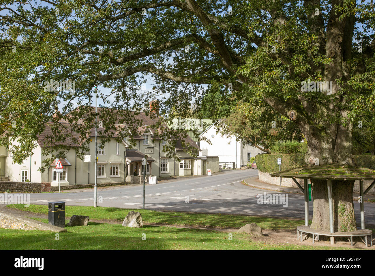 The Lion Inn and village green in Leintwardine, Herefordshire, England, UK Stock Photohttps://www.alamy.com/image-license-details/?v=1https://www.alamy.com/stock-photo-the-lion-inn-and-village-green-in-leintwardine-herefordshire-england-74489178.html
RME957KP–The Lion Inn and village green in Leintwardine, Herefordshire, England, UK
 A pale country road beneath clear blue skies and receding into a distant vanishing point on a sunny day near St Albans, Hertfordshire, England. Stock Photohttps://www.alamy.com/image-license-details/?v=1https://www.alamy.com/stock-photo-a-pale-country-road-beneath-clear-blue-skies-and-receding-into-a-distant-146618669.html
RFJEF1H1–A pale country road beneath clear blue skies and receding into a distant vanishing point on a sunny day near St Albans, Hertfordshire, England.
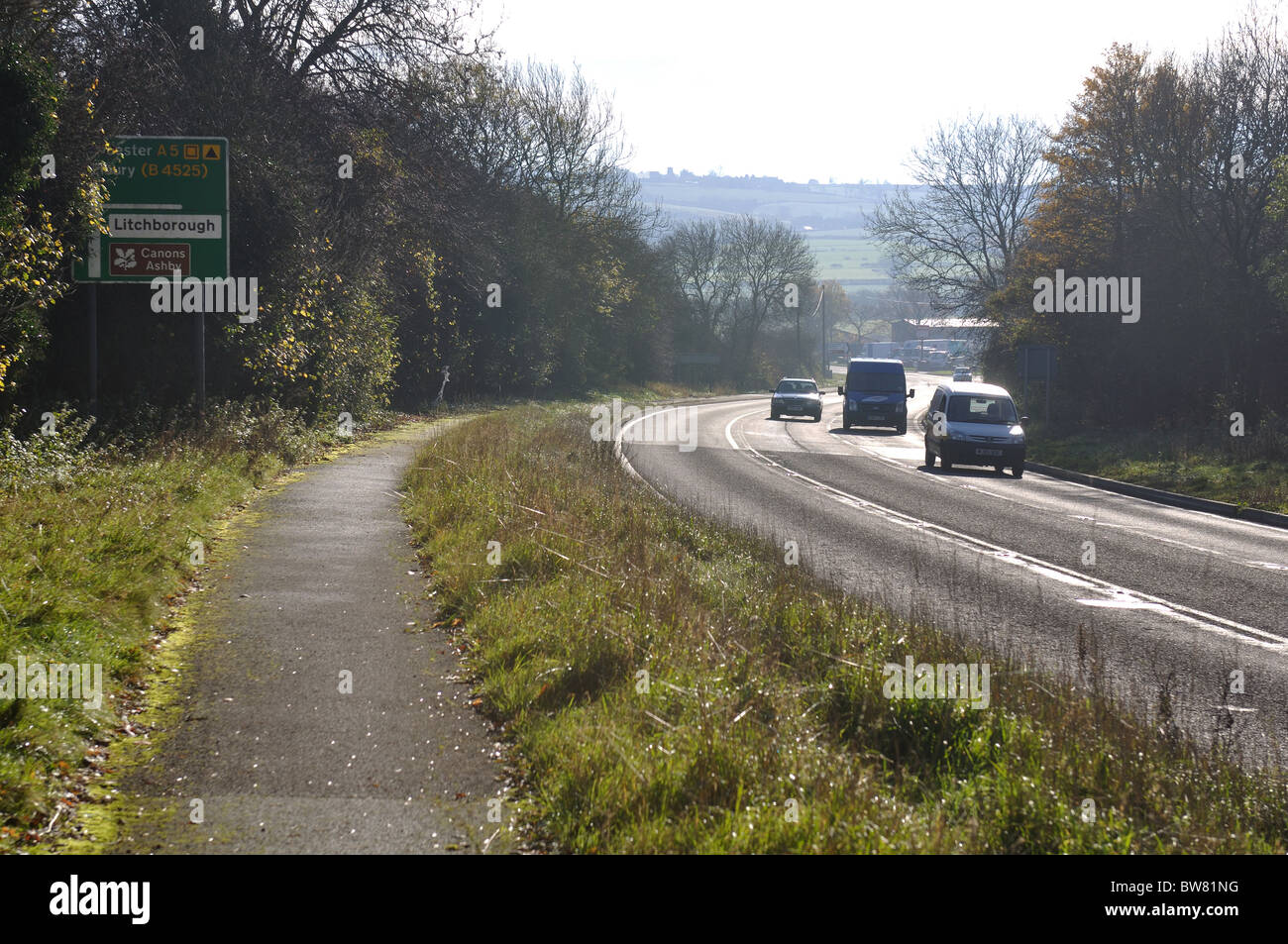 A5 road, Watling Street, Northamptonshire, England, UK Stock Photohttps://www.alamy.com/image-license-details/?v=1https://www.alamy.com/stock-photo-a5-road-watling-street-northamptonshire-england-uk-32753772.html
RMBW81NG–A5 road, Watling Street, Northamptonshire, England, UK
 Enjoying a trail over the bridge over the River Arrow at Eardisland Herefordshire Stock Photohttps://www.alamy.com/image-license-details/?v=1https://www.alamy.com/stock-photo-enjoying-a-trail-over-the-bridge-over-the-river-arrow-at-eardisland-121998470.html
RMH2DE86–Enjoying a trail over the bridge over the River Arrow at Eardisland Herefordshire
 With the dome of St. Paul's Cathedral at the end, lunchtime City workers walk past the Union Jack-themes telephone kiosk in celebrity chef Gordon Ramsey's restaurant Bread Street Kitchen on (the former Roman thoroughfare) Watling Street, in the City of London, the capital's financial district (aka the Square Mile), on 22nd August 2019, in London, England. Stock Photohttps://www.alamy.com/image-license-details/?v=1https://www.alamy.com/with-the-dome-of-st-pauls-cathedral-at-the-end-lunchtime-city-workers-walk-past-the-union-jack-themes-telephone-kiosk-in-celebrity-chef-gordon-ramseys-restaurant-bread-street-kitchen-on-the-former-roman-thoroughfare-watling-street-in-the-city-of-london-the-capitals-financial-district-aka-the-square-mile-on-22nd-august-2019-in-london-england-image264945106.html
RMWB1856–With the dome of St. Paul's Cathedral at the end, lunchtime City workers walk past the Union Jack-themes telephone kiosk in celebrity chef Gordon Ramsey's restaurant Bread Street Kitchen on (the former Roman thoroughfare) Watling Street, in the City of London, the capital's financial district (aka the Square Mile), on 22nd August 2019, in London, England.
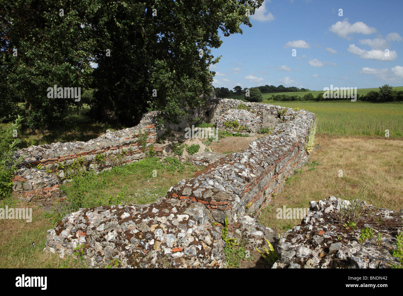 An old religious building in Kent Stock Photohttps://www.alamy.com/image-license-details/?v=1https://www.alamy.com/stock-photo-an-old-religious-building-in-kent-30420098.html
RMBNDN42–An old religious building in Kent
 An old religious building in Kent Stock Photohttps://www.alamy.com/image-license-details/?v=1https://www.alamy.com/an-old-religious-building-in-kent-image68021791.html
RMDXJJDK–An old religious building in Kent
 A pale country road beneath clear blue skies and receding into a distant vanishing point on a sunny day near St Albans, Hertfordshire, England. Stock Photohttps://www.alamy.com/image-license-details/?v=1https://www.alamy.com/stock-photo-a-pale-country-road-beneath-clear-blue-skies-and-receding-into-a-distant-146618695.html
RFJEF1HY–A pale country road beneath clear blue skies and receding into a distant vanishing point on a sunny day near St Albans, Hertfordshire, England.
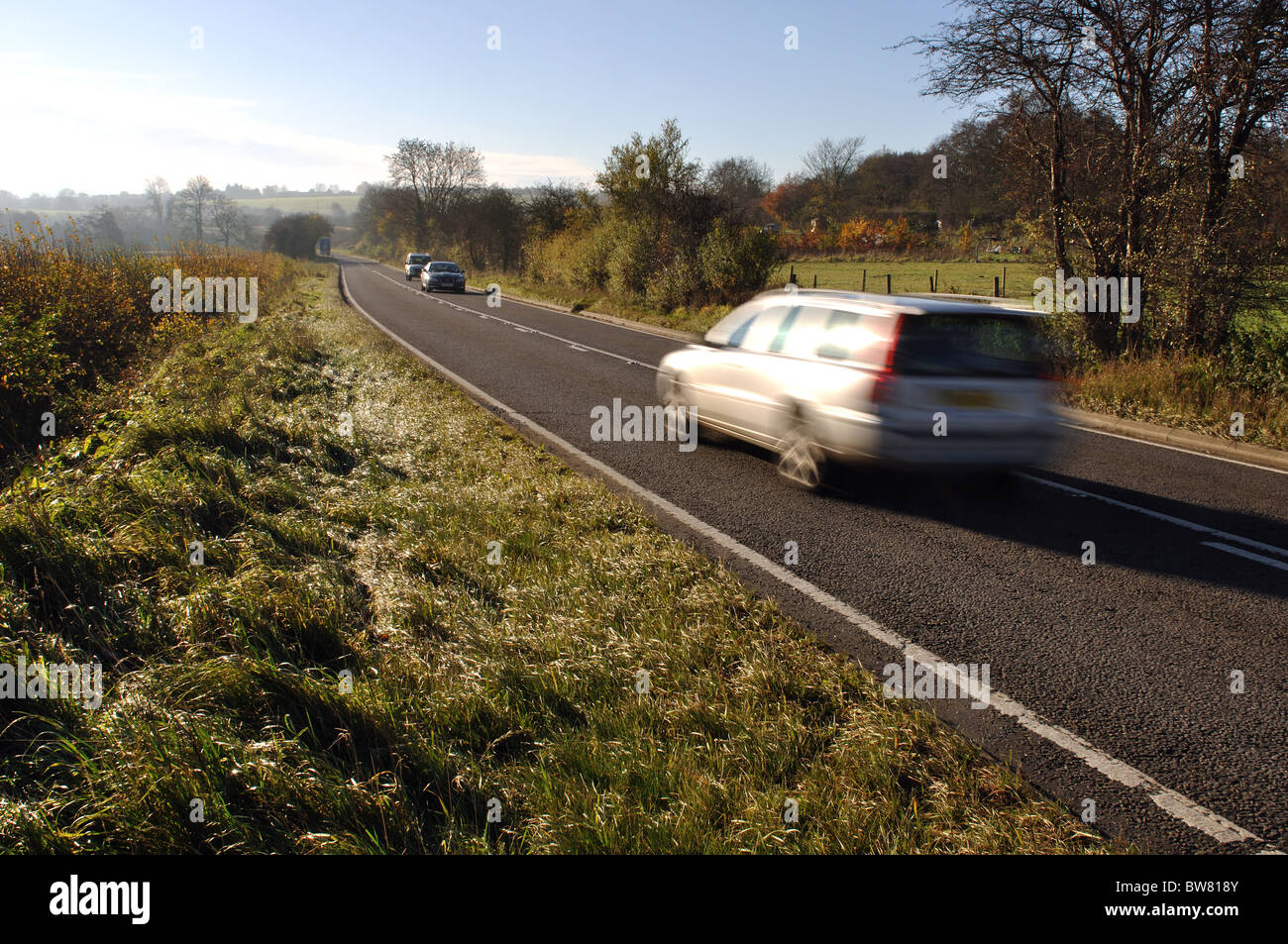 A5 road, Watling Street, Northamptonshire, England, UK Stock Photohttps://www.alamy.com/image-license-details/?v=1https://www.alamy.com/stock-photo-a5-road-watling-street-northamptonshire-england-uk-32753419.html
RMBW818Y–A5 road, Watling Street, Northamptonshire, England, UK
 The interior and nave of St Mary the Virgin church at Eardisland, Herefordshire. Stock Photohttps://www.alamy.com/image-license-details/?v=1https://www.alamy.com/stock-photo-the-interior-and-nave-of-st-mary-the-virgin-church-at-eardisland-herefordshire-122002946.html
RMH2DM02–The interior and nave of St Mary the Virgin church at Eardisland, Herefordshire.
 An old religious building in Kent Stock Photohttps://www.alamy.com/image-license-details/?v=1https://www.alamy.com/an-old-religious-building-in-kent-image68021350.html
RMDXJHWX–An old religious building in Kent
 A pale country road beneath clear blue skies and receding into a distant vanishing point on a sunny day near St Albans, Hertfordshire, England. Stock Photohttps://www.alamy.com/image-license-details/?v=1https://www.alamy.com/stock-photo-a-pale-country-road-beneath-clear-blue-skies-and-receding-into-a-distant-146618665.html
RFJEF1GW–A pale country road beneath clear blue skies and receding into a distant vanishing point on a sunny day near St Albans, Hertfordshire, England.
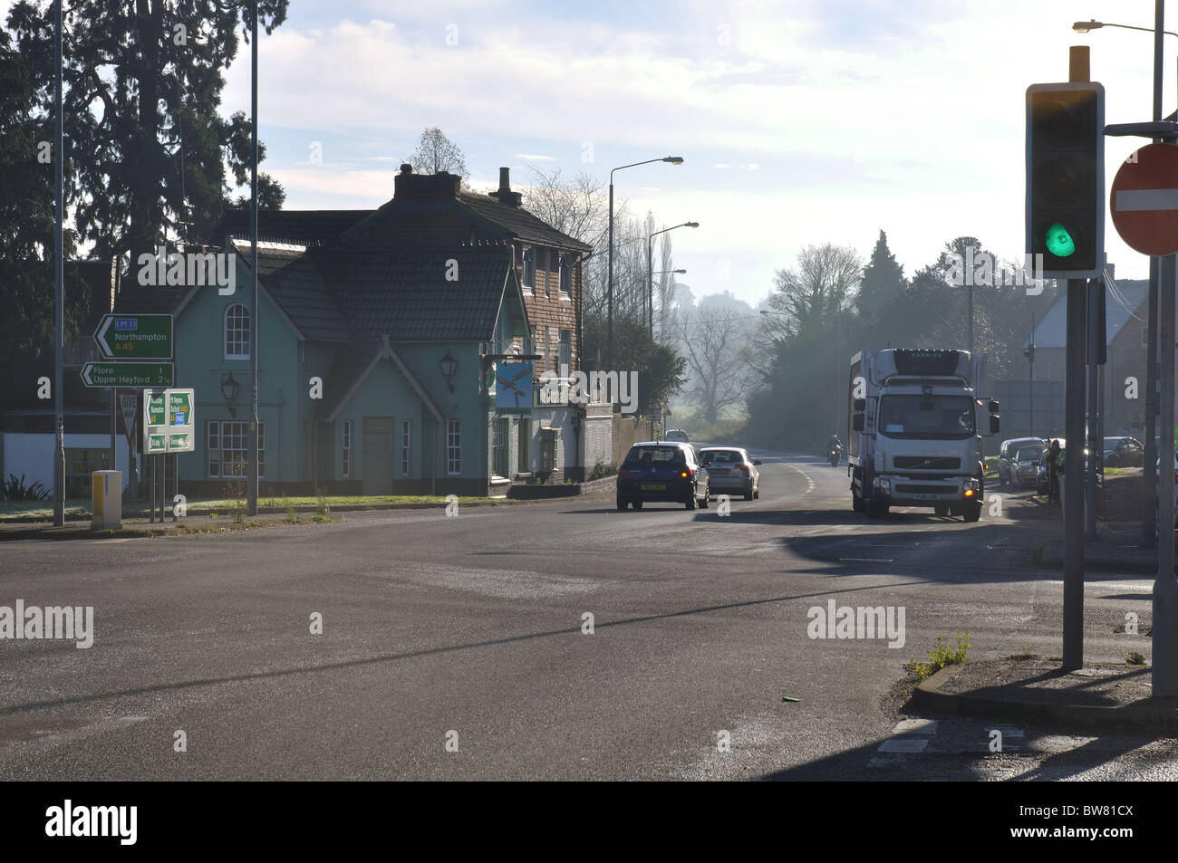 A5 road, Watling Street, at Weedon, Northamptonshire, England, UK Stock Photohttps://www.alamy.com/image-license-details/?v=1https://www.alamy.com/stock-photo-a5-road-watling-street-at-weedon-northamptonshire-england-uk-32753530.html
RMBW81CX–A5 road, Watling Street, at Weedon, Northamptonshire, England, UK
 The interior and nave of St Mary the Virgin church at Eardisland, Herefordshire. Stock Photohttps://www.alamy.com/image-license-details/?v=1https://www.alamy.com/stock-photo-the-interior-and-nave-of-st-mary-the-virgin-church-at-eardisland-herefordshire-122001768.html
RMH2DJE0–The interior and nave of St Mary the Virgin church at Eardisland, Herefordshire.
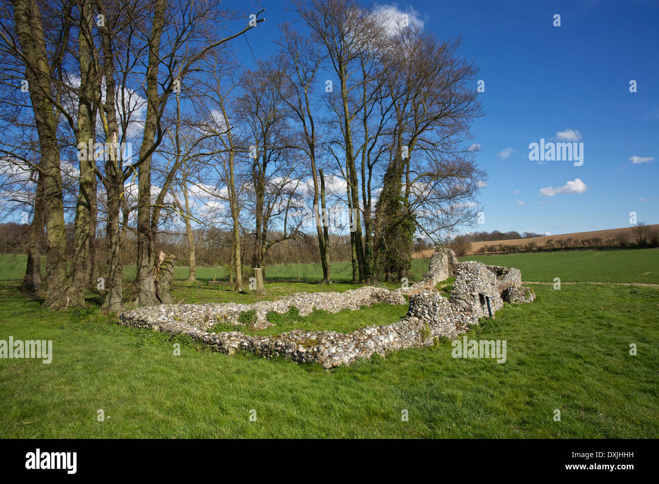 An old religious building in Kent Stock Photohttps://www.alamy.com/image-license-details/?v=1https://www.alamy.com/an-old-religious-building-in-kent-image68021117.html
RMDXJHHH–An old religious building in Kent
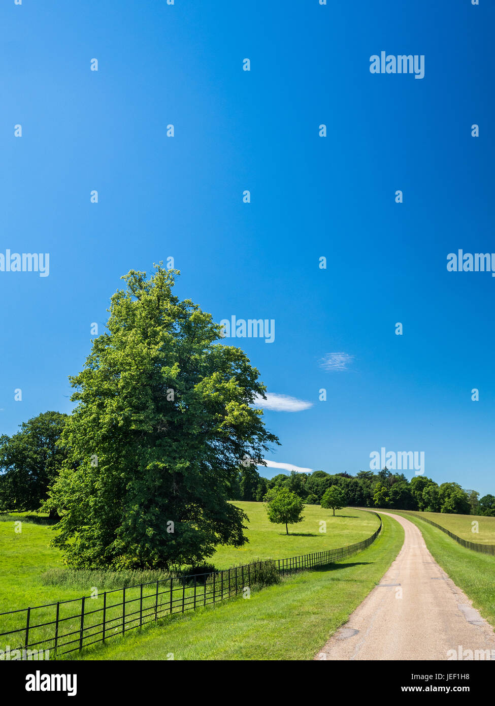 A pale country road beneath clear blue skies and receding into a distant vanishing point on a sunny day near St Albans, Hertfordshire, England. Stock Photohttps://www.alamy.com/image-license-details/?v=1https://www.alamy.com/stock-photo-a-pale-country-road-beneath-clear-blue-skies-and-receding-into-a-distant-146618676.html
RFJEF1H8–A pale country road beneath clear blue skies and receding into a distant vanishing point on a sunny day near St Albans, Hertfordshire, England.
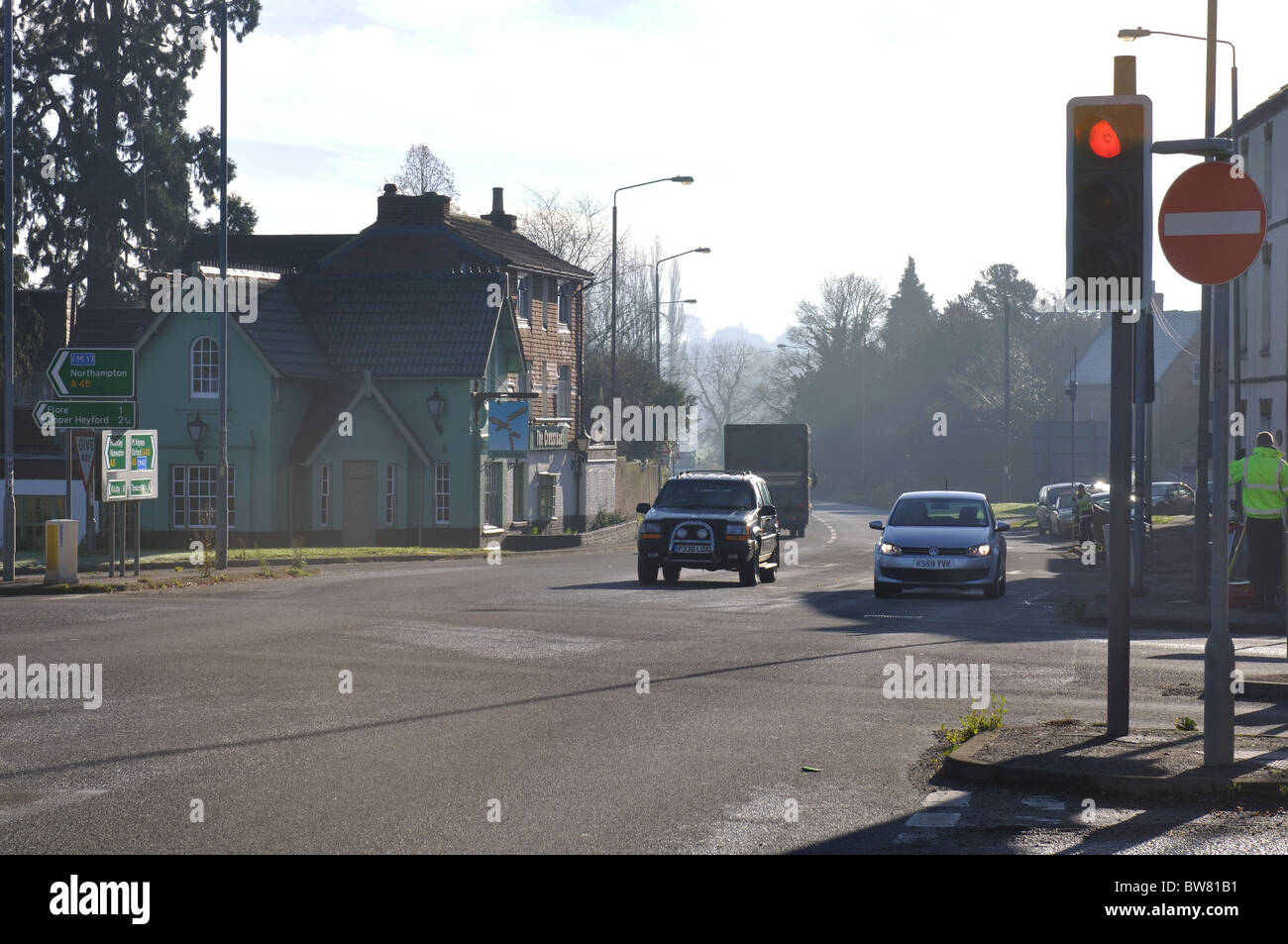 A5 road, Watling Street, at Weedon, Northamptonshire, England, UK Stock Photohttps://www.alamy.com/image-license-details/?v=1https://www.alamy.com/stock-photo-a5-road-watling-street-at-weedon-northamptonshire-england-uk-32753477.html
RMBW81B1–A5 road, Watling Street, at Weedon, Northamptonshire, England, UK
 The interior and nave of St Mary the Virgin church at Eardisland, Herefordshire. Stock Photohttps://www.alamy.com/image-license-details/?v=1https://www.alamy.com/stock-photo-the-interior-and-nave-of-st-mary-the-virgin-church-at-eardisland-herefordshire-121999951.html
RMH2DG53–The interior and nave of St Mary the Virgin church at Eardisland, Herefordshire.
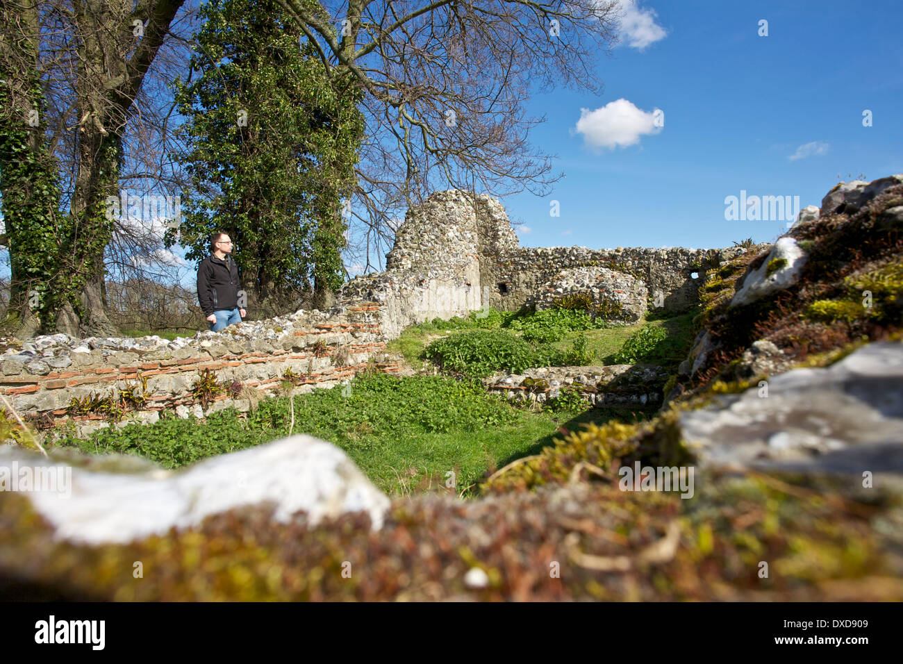 An old religious building in Kent Stock Photohttps://www.alamy.com/image-license-details/?v=1https://www.alamy.com/an-old-religious-building-in-kent-image67904601.html
RMDXD909–An old religious building in Kent
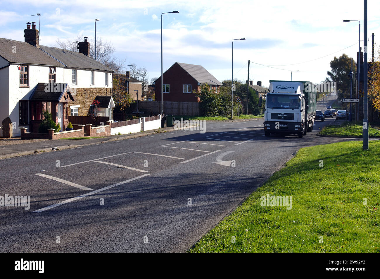 A5 road, Watling Street, at Fosters Booth, Northamptonshire, England, UK Stock Photohttps://www.alamy.com/image-license-details/?v=1https://www.alamy.com/stock-photo-a5-road-watling-street-at-fosters-booth-northamptonshire-england-uk-32776662.html
RMBW92Y2–A5 road, Watling Street, at Fosters Booth, Northamptonshire, England, UK
 Watling Street, Towcester, Northamptonshire, England, UK Stock Photohttps://www.alamy.com/image-license-details/?v=1https://www.alamy.com/stock-photo-watling-street-towcester-northamptonshire-england-uk-13547255.html
RMAE2HTT–Watling Street, Towcester, Northamptonshire, England, UK
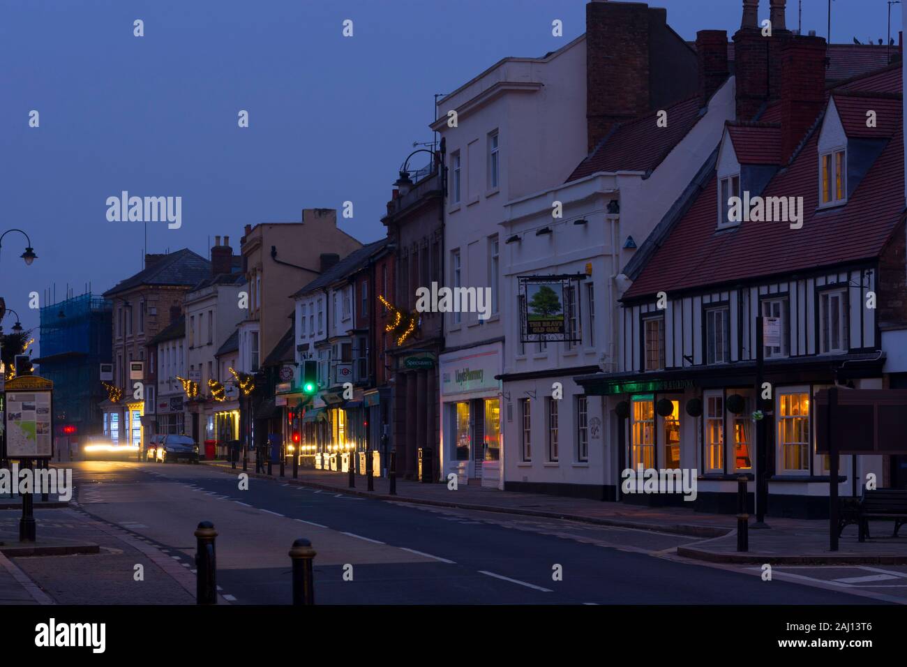 Watling Street at dawn, Towcester, Northamptonshire, England, UK Stock Photohttps://www.alamy.com/image-license-details/?v=1https://www.alamy.com/watling-street-at-dawn-towcester-northamptonshire-england-uk-image338085782.html
RM2AJ13T6–Watling Street at dawn, Towcester, Northamptonshire, England, UK
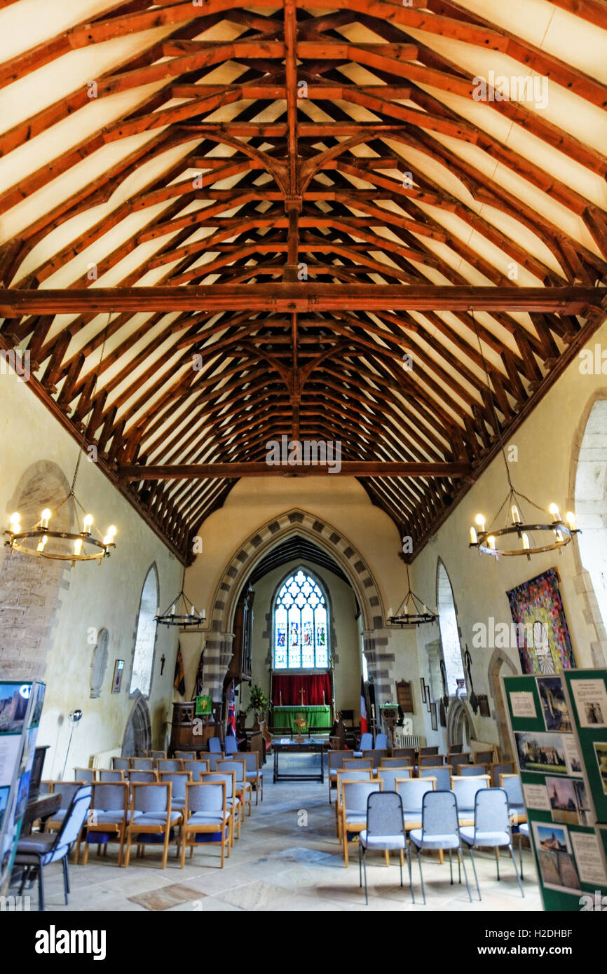 The interior and nave of St Mary the Virgin church at Eardisland, Herefordshire. Stock Photohttps://www.alamy.com/image-license-details/?v=1https://www.alamy.com/stock-photo-the-interior-and-nave-of-st-mary-the-virgin-church-at-eardisland-herefordshire-122000915.html
RMH2DHBF–The interior and nave of St Mary the Virgin church at Eardisland, Herefordshire.
 Watling Street East sign, Fosters Booth, Northamptonshire, England, UK Stock Photohttps://www.alamy.com/image-license-details/?v=1https://www.alamy.com/stock-photo-watling-street-east-sign-fosters-booth-northamptonshire-england-uk-32776785.html
RMBW933D–Watling Street East sign, Fosters Booth, Northamptonshire, England, UK
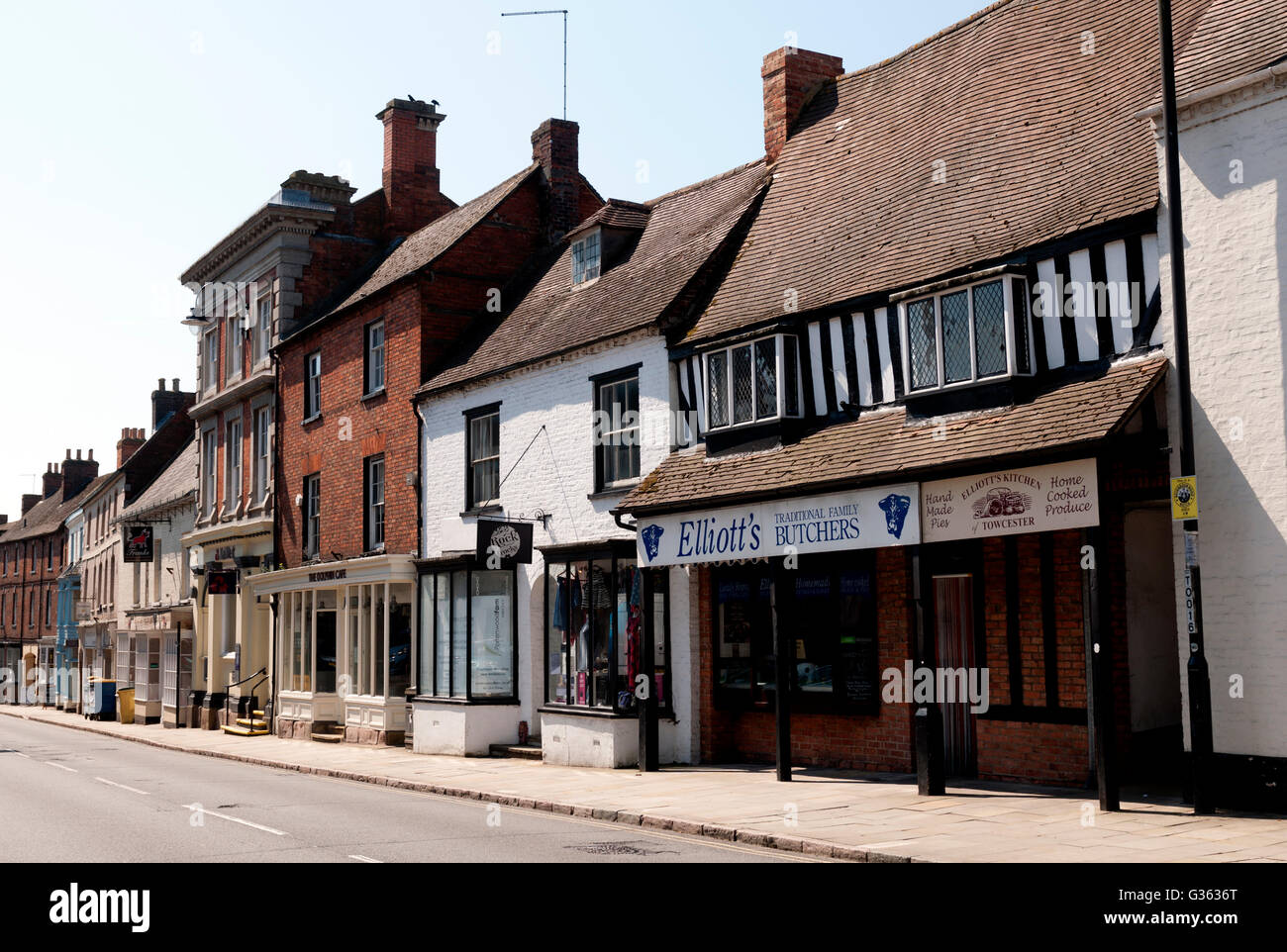 Watling Street, Towcester, Northamptonshire, England, UK Stock Photohttps://www.alamy.com/image-license-details/?v=1https://www.alamy.com/stock-photo-watling-street-towcester-northamptonshire-england-uk-105240432.html
RMG3636T–Watling Street, Towcester, Northamptonshire, England, UK
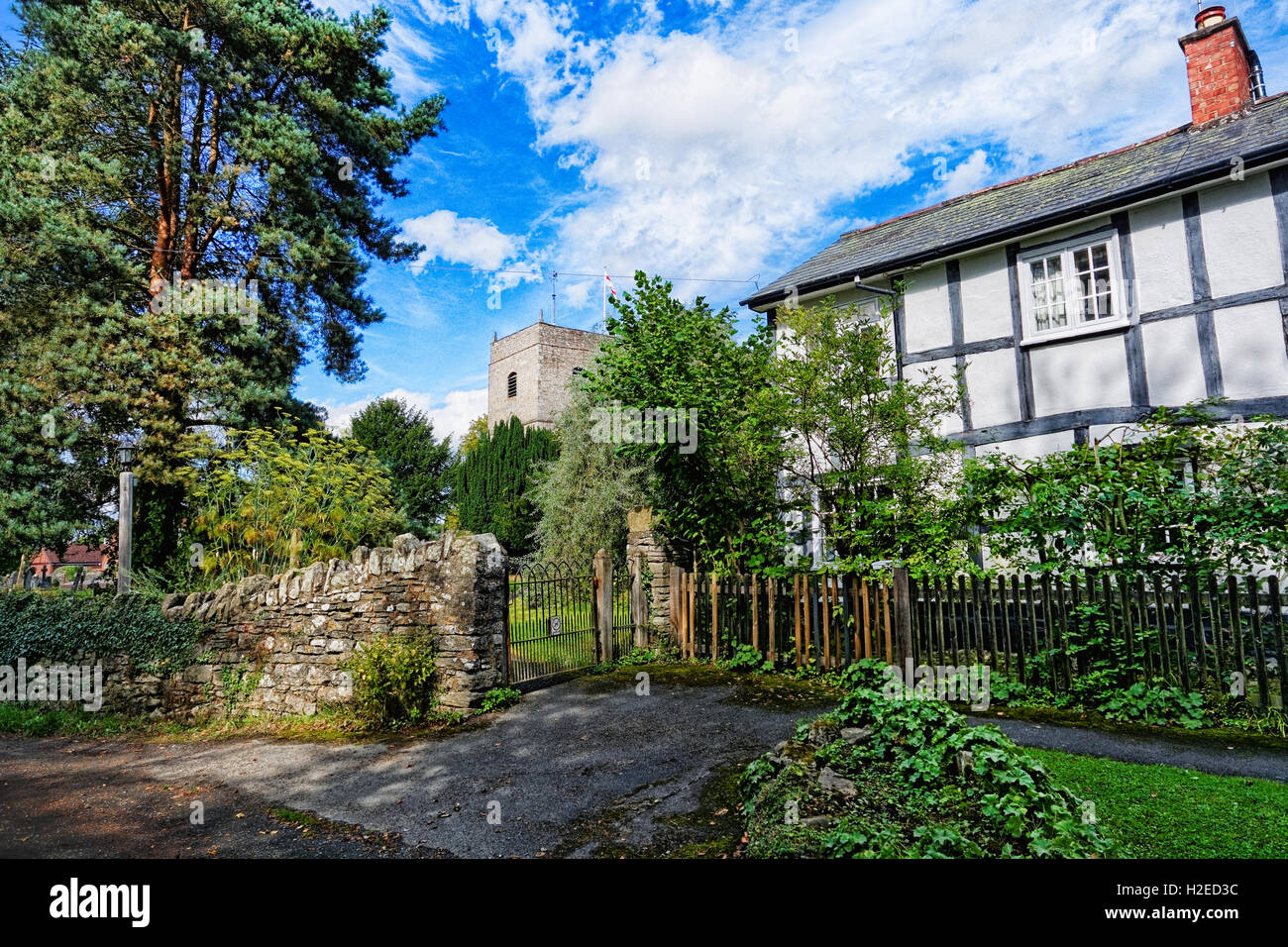 A tea room and old half-timbered black and white cottage beside the church at Eardisland, Herefordshire. Stock Photohttps://www.alamy.com/image-license-details/?v=1https://www.alamy.com/stock-photo-a-tea-room-and-old-half-timbered-black-and-white-cottage-beside-the-122019504.html
RMH2ED3C–A tea room and old half-timbered black and white cottage beside the church at Eardisland, Herefordshire.
 Watling Street, Towcester, Northamptonshire, England, UK Stock Photohttps://www.alamy.com/image-license-details/?v=1https://www.alamy.com/stock-photo-watling-street-towcester-northamptonshire-england-uk-105240431.html
RMG3636R–Watling Street, Towcester, Northamptonshire, England, UK
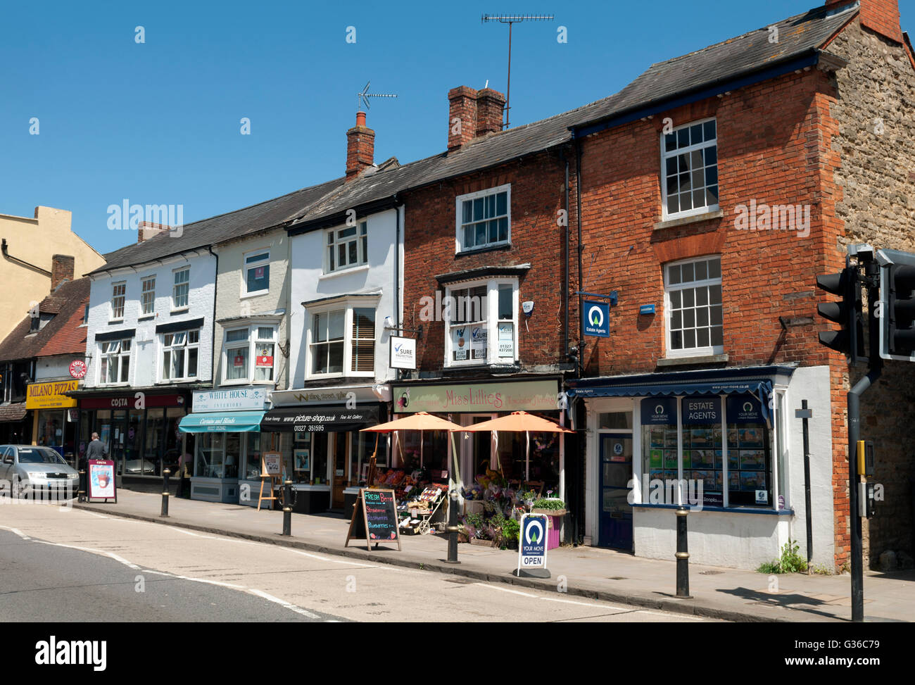 Watling Street, Towcester, Northamptonshire, England, UK Stock Photohttps://www.alamy.com/image-license-details/?v=1https://www.alamy.com/stock-photo-watling-street-towcester-northamptonshire-england-uk-105247501.html
RMG36C79–Watling Street, Towcester, Northamptonshire, England, UK
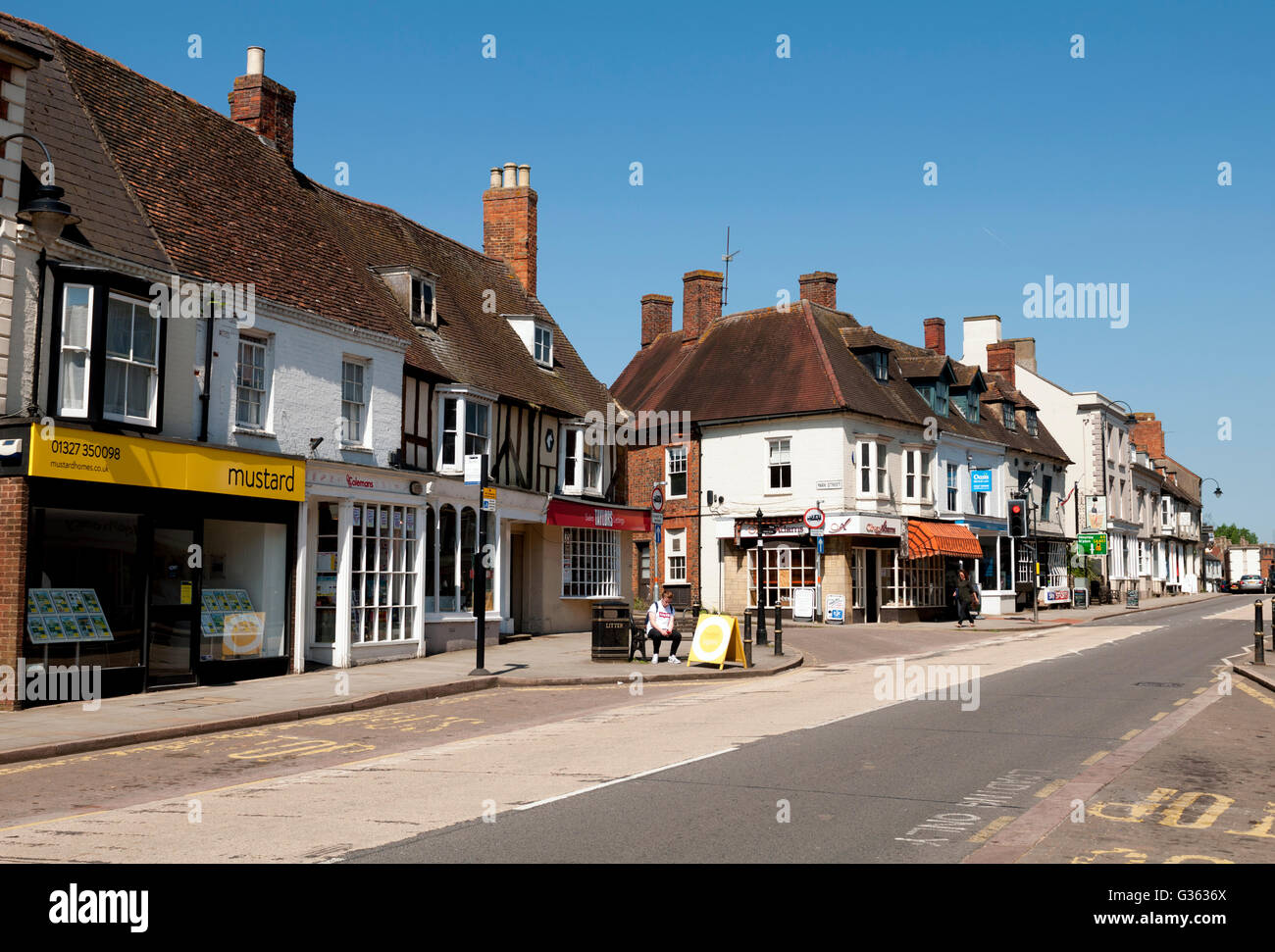 Watling Street, Towcester, Northamptonshire, England, UK Stock Photohttps://www.alamy.com/image-license-details/?v=1https://www.alamy.com/stock-photo-watling-street-towcester-northamptonshire-england-uk-105240434.html
RMG3636X–Watling Street, Towcester, Northamptonshire, England, UK
