Waycross georgia map Cut Out Stock Images
 Waycross, Ware County, US, United States, Georgia, N 31 12' 49'', S 82 21' 20'', map, Cartascapes Map published in 2024. Explore Cartascapes, a map revealing Earth's diverse landscapes, cultures, and ecosystems. Journey through time and space, discovering the interconnectedness of our planet's past, present, and future. Stock Photohttps://www.alamy.com/image-license-details/?v=1https://www.alamy.com/waycross-ware-county-us-united-states-georgia-n-31-12-49-s-82-21-20-map-cartascapes-map-published-in-2024-explore-cartascapes-a-map-revealing-earths-diverse-landscapes-cultures-and-ecosystems-journey-through-time-and-space-discovering-the-interconnectedness-of-our-planets-past-present-and-future-image621285055.html
RM2Y2NYBY–Waycross, Ware County, US, United States, Georgia, N 31 12' 49'', S 82 21' 20'', map, Cartascapes Map published in 2024. Explore Cartascapes, a map revealing Earth's diverse landscapes, cultures, and ecosystems. Journey through time and space, discovering the interconnectedness of our planet's past, present, and future.
 USGS TOPO Map Georgia GA Waycross 247858 1953 250000 Restoration Stock Photohttps://www.alamy.com/image-license-details/?v=1https://www.alamy.com/usgs-topo-map-georgia-ga-waycross-247858-1953-250000-restoration-image244750535.html
RMT659PF–USGS TOPO Map Georgia GA Waycross 247858 1953 250000 Restoration
 Ware County, Georgia (U.S. county, United States of America, USA, U.S., US) map vector illustration, scribble sketch Ware map Stock Vectorhttps://www.alamy.com/image-license-details/?v=1https://www.alamy.com/ware-county-georgia-us-county-united-states-of-america-usa-us-us-map-vector-illustration-scribble-sketch-ware-map-image358946755.html
RF2BRYC6Y–Ware County, Georgia (U.S. county, United States of America, USA, U.S., US) map vector illustration, scribble sketch Ware map
 Waycross, Ware County, US, United States, Georgia, N 31 12' 49'', S 82 21' 20'', map, Cartascapes Map published in 2024. Explore Cartascapes, a map revealing Earth's diverse landscapes, cultures, and ecosystems. Journey through time and space, discovering the interconnectedness of our planet's past, present, and future. Stock Photohttps://www.alamy.com/image-license-details/?v=1https://www.alamy.com/waycross-ware-county-us-united-states-georgia-n-31-12-49-s-82-21-20-map-cartascapes-map-published-in-2024-explore-cartascapes-a-map-revealing-earths-diverse-landscapes-cultures-and-ecosystems-journey-through-time-and-space-discovering-the-interconnectedness-of-our-planets-past-present-and-future-image621201712.html
RM2Y2J53C–Waycross, Ware County, US, United States, Georgia, N 31 12' 49'', S 82 21' 20'', map, Cartascapes Map published in 2024. Explore Cartascapes, a map revealing Earth's diverse landscapes, cultures, and ecosystems. Journey through time and space, discovering the interconnectedness of our planet's past, present, and future.
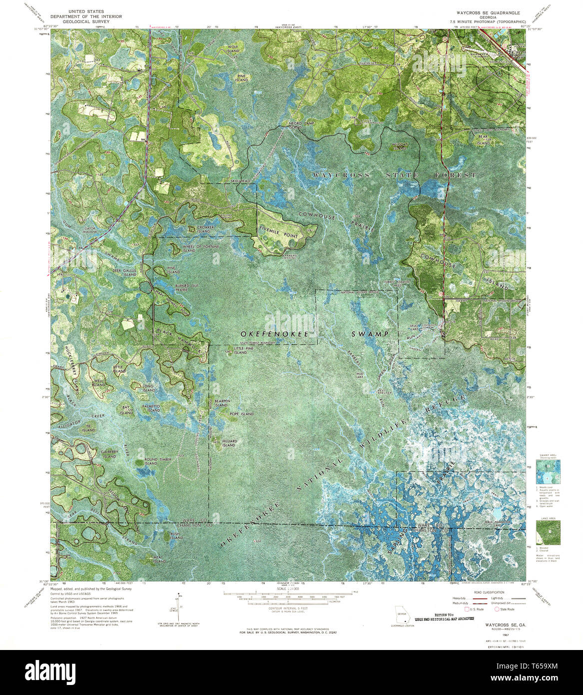 USGS TOPO Map Georgia GA Waycross SE 247255 1967 24000 Restoration Stock Photohttps://www.alamy.com/image-license-details/?v=1https://www.alamy.com/usgs-topo-map-georgia-ga-waycross-se-247255-1967-24000-restoration-image244750652.html
RMT659XM–USGS TOPO Map Georgia GA Waycross SE 247255 1967 24000 Restoration
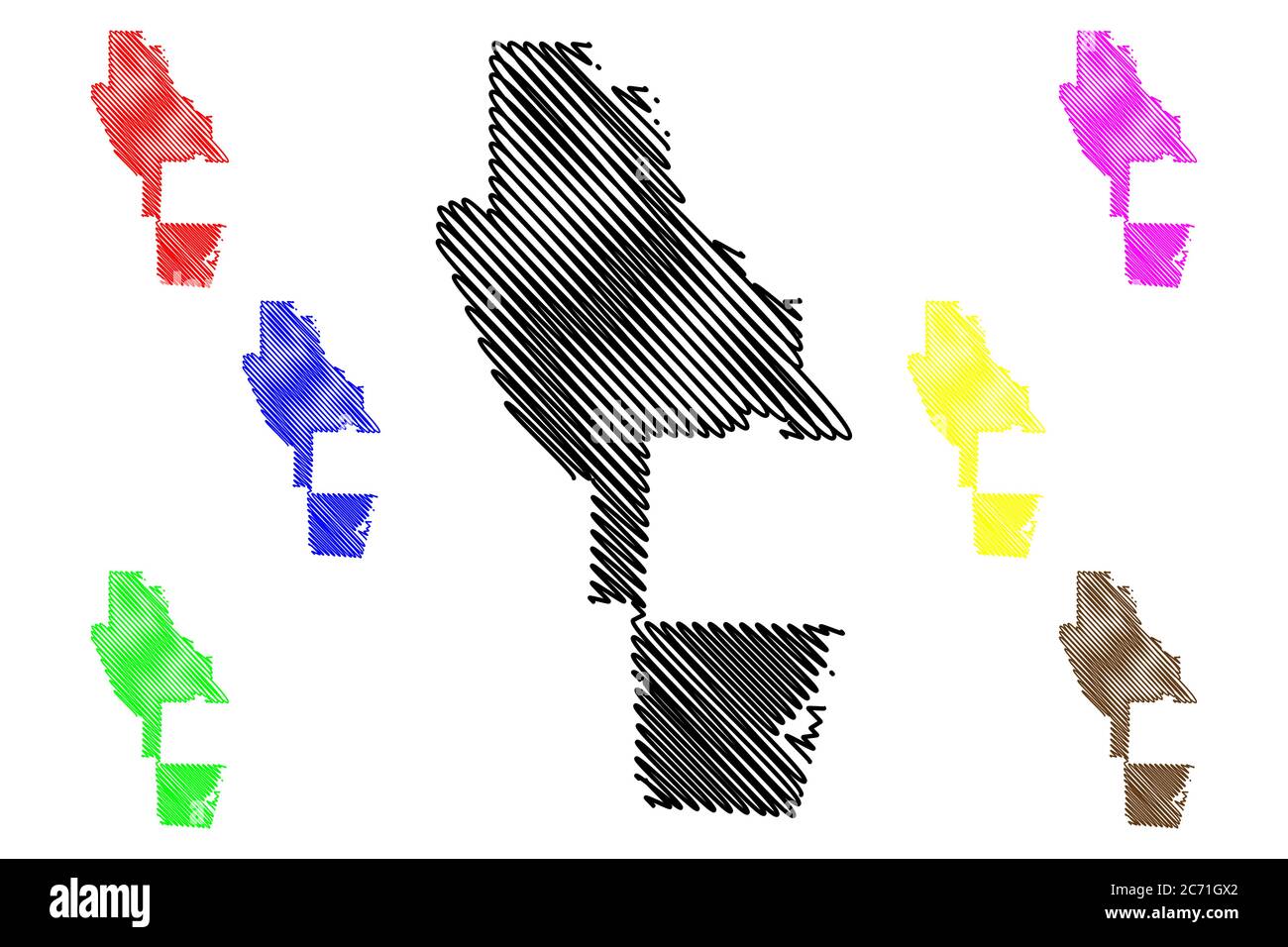 Ware County, Georgia (U.S. county, United States of America, USA, U.S., US) map vector illustration, scribble sketch Ware map Stock Vectorhttps://www.alamy.com/image-license-details/?v=1https://www.alamy.com/ware-county-georgia-us-county-united-states-of-america-usa-us-us-map-vector-illustration-scribble-sketch-ware-map-image365755546.html
RF2C71GX2–Ware County, Georgia (U.S. county, United States of America, USA, U.S., US) map vector illustration, scribble sketch Ware map
 City of Waycross, Ware County, US, United States, Georgia, N 31 12' 39'', S 82 21' 28'', map, Cartascapes Map published in 2024. Explore Cartascapes, a map revealing Earth's diverse landscapes, cultures, and ecosystems. Journey through time and space, discovering the interconnectedness of our planet's past, present, and future. Stock Photohttps://www.alamy.com/image-license-details/?v=1https://www.alamy.com/city-of-waycross-ware-county-us-united-states-georgia-n-31-12-39-s-82-21-28-map-cartascapes-map-published-in-2024-explore-cartascapes-a-map-revealing-earths-diverse-landscapes-cultures-and-ecosystems-journey-through-time-and-space-discovering-the-interconnectedness-of-our-planets-past-present-and-future-image633900749.html
RM2YR8JTD–City of Waycross, Ware County, US, United States, Georgia, N 31 12' 39'', S 82 21' 28'', map, Cartascapes Map published in 2024. Explore Cartascapes, a map revealing Earth's diverse landscapes, cultures, and ecosystems. Journey through time and space, discovering the interconnectedness of our planet's past, present, and future.
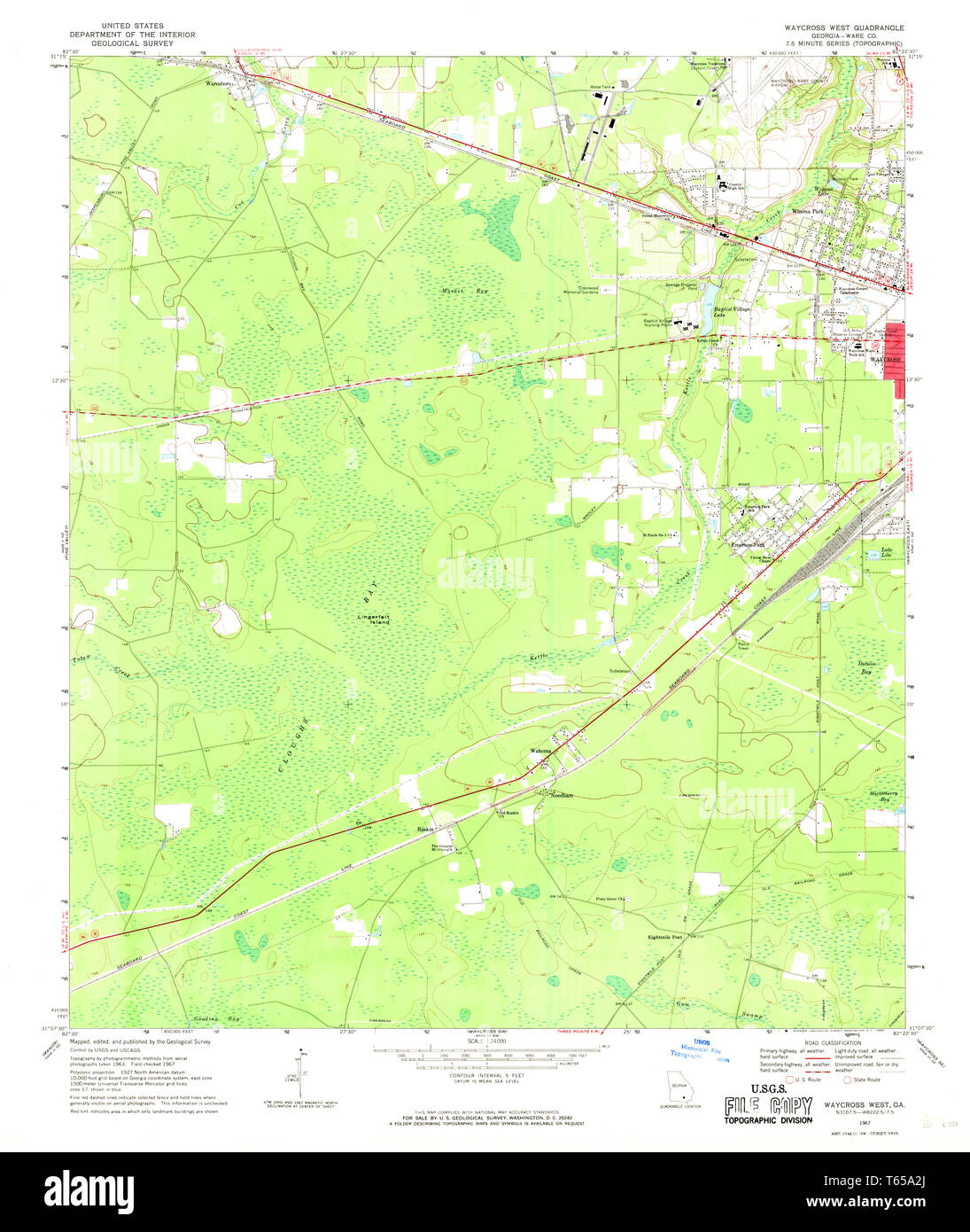 USGS TOPO Map Georgia GA Waycross West 247258 1967 24000 Restoration Stock Photohttps://www.alamy.com/image-license-details/?v=1https://www.alamy.com/usgs-topo-map-georgia-ga-waycross-west-247258-1967-24000-restoration-image244750762.html
RMT65A2J–USGS TOPO Map Georgia GA Waycross West 247258 1967 24000 Restoration
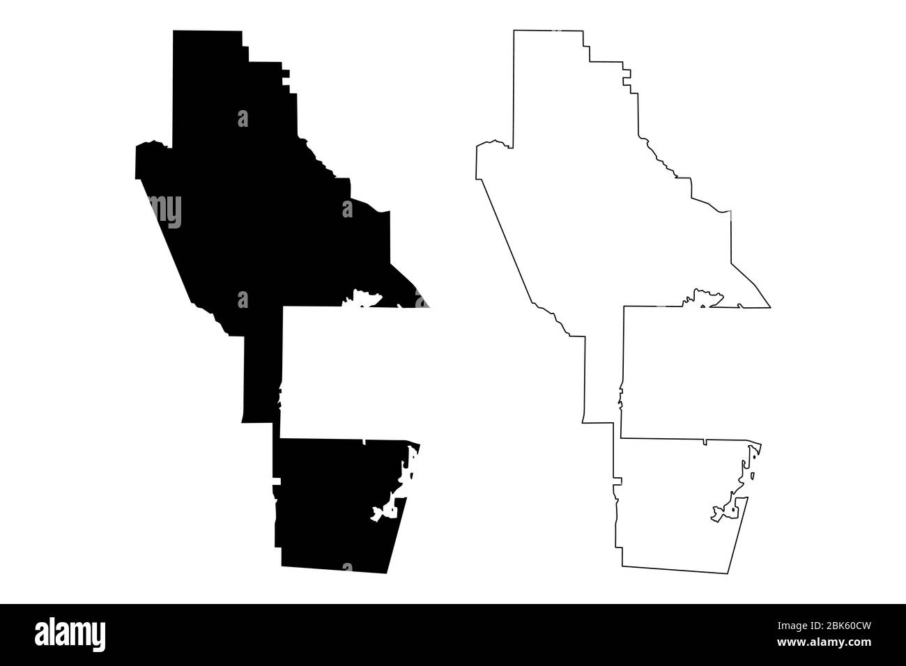 Ware County, Georgia (U.S. county, United States of America, USA, U.S., US) map vector illustration, scribble sketch Ware map Stock Vectorhttps://www.alamy.com/image-license-details/?v=1https://www.alamy.com/ware-county-georgia-us-county-united-states-of-america-usa-us-us-map-vector-illustration-scribble-sketch-ware-map-image356017897.html
RF2BK60CW–Ware County, Georgia (U.S. county, United States of America, USA, U.S., US) map vector illustration, scribble sketch Ware map
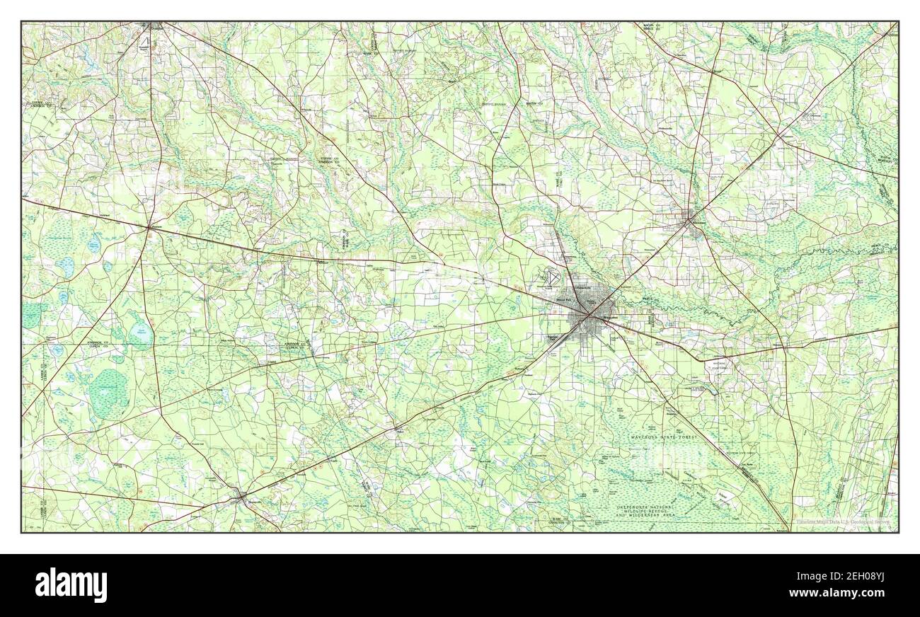 Waycross, Georgia, map 1978, 1:100000, United States of America by Timeless Maps, data U.S. Geological Survey Stock Photohttps://www.alamy.com/image-license-details/?v=1https://www.alamy.com/waycross-georgia-map-1978-1100000-united-states-of-america-by-timeless-maps-data-us-geological-survey-image406294662.html
RM2EH08YJ–Waycross, Georgia, map 1978, 1:100000, United States of America by Timeless Maps, data U.S. Geological Survey
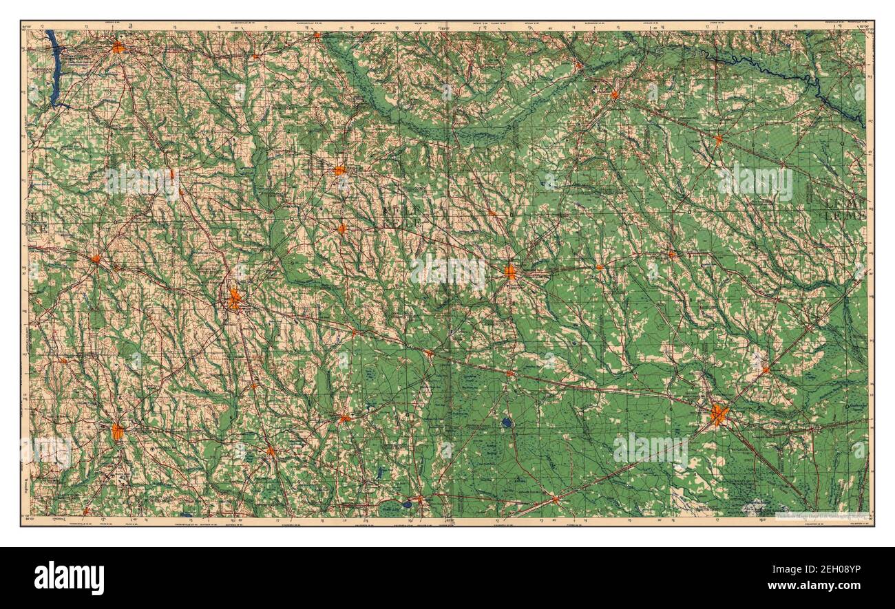 Waycross, Georgia, map 1958, 1:250000, United States of America by Timeless Maps, data U.S. Geological Survey Stock Photohttps://www.alamy.com/image-license-details/?v=1https://www.alamy.com/waycross-georgia-map-1958-1250000-united-states-of-america-by-timeless-maps-data-us-geological-survey-image406294666.html
RM2EH08YP–Waycross, Georgia, map 1958, 1:250000, United States of America by Timeless Maps, data U.S. Geological Survey
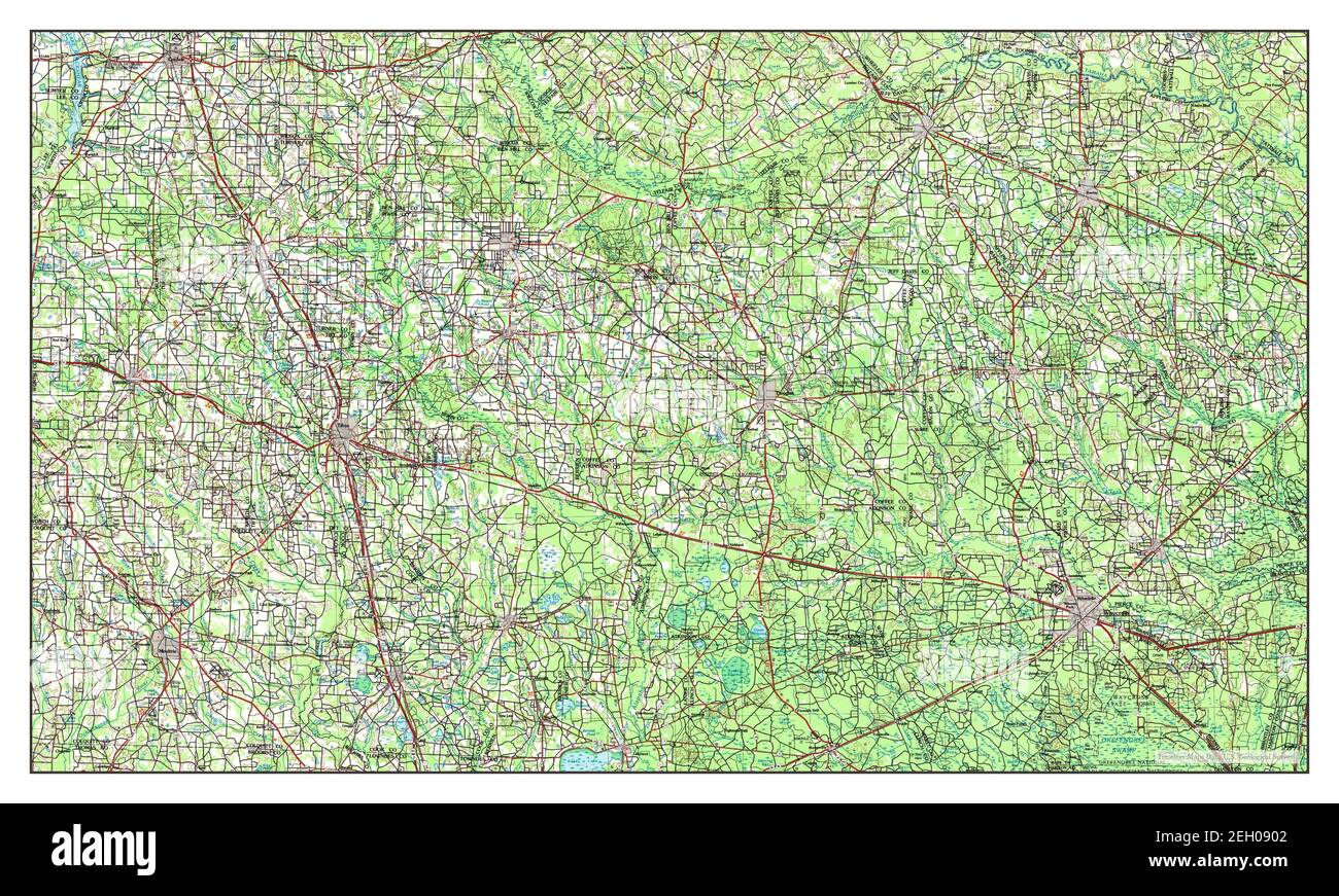 Waycross, Georgia, map 1988, 1:250000, United States of America by Timeless Maps, data U.S. Geological Survey Stock Photohttps://www.alamy.com/image-license-details/?v=1https://www.alamy.com/waycross-georgia-map-1988-1250000-united-states-of-america-by-timeless-maps-data-us-geological-survey-image406294674.html
RM2EH0902–Waycross, Georgia, map 1988, 1:250000, United States of America by Timeless Maps, data U.S. Geological Survey
 Waycross, Georgia, map 1958, 1:250000, United States of America by Timeless Maps, data U.S. Geological Survey Stock Photohttps://www.alamy.com/image-license-details/?v=1https://www.alamy.com/waycross-georgia-map-1958-1250000-united-states-of-america-by-timeless-maps-data-us-geological-survey-image406294640.html
RM2EH08XT–Waycross, Georgia, map 1958, 1:250000, United States of America by Timeless Maps, data U.S. Geological Survey
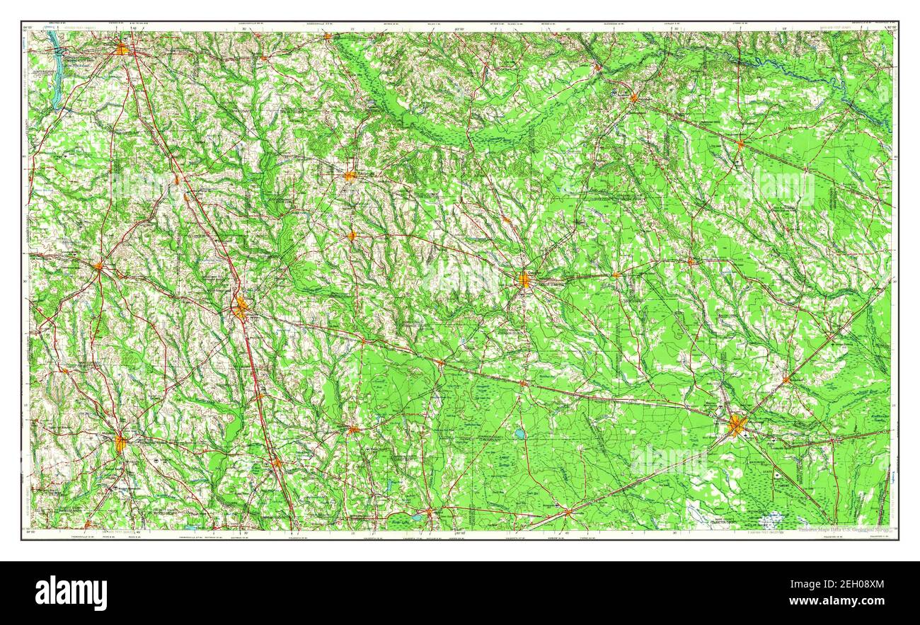 Waycross, Georgia, map 1953, 1:250000, United States of America by Timeless Maps, data U.S. Geological Survey Stock Photohttps://www.alamy.com/image-license-details/?v=1https://www.alamy.com/waycross-georgia-map-1953-1250000-united-states-of-america-by-timeless-maps-data-us-geological-survey-image406294636.html
RM2EH08XM–Waycross, Georgia, map 1953, 1:250000, United States of America by Timeless Maps, data U.S. Geological Survey
 Waycross, Georgia, map 1953, 1:250000, United States of America by Timeless Maps, data U.S. Geological Survey Stock Photohttps://www.alamy.com/image-license-details/?v=1https://www.alamy.com/waycross-georgia-map-1953-1250000-united-states-of-america-by-timeless-maps-data-us-geological-survey-image406294614.html
RM2EH08WX–Waycross, Georgia, map 1953, 1:250000, United States of America by Timeless Maps, data U.S. Geological Survey
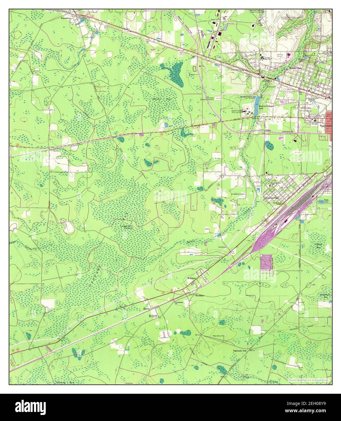 Waycross West, Georgia, map 1967, 1:24000, United States of America by Timeless Maps, data U.S. Geological Survey Stock Photohttps://www.alamy.com/image-license-details/?v=1https://www.alamy.com/waycross-west-georgia-map-1967-124000-united-states-of-america-by-timeless-maps-data-us-geological-survey-image406294653.html
RM2EH08Y9–Waycross West, Georgia, map 1967, 1:24000, United States of America by Timeless Maps, data U.S. Geological Survey
 Waycross SW, Georgia, map 1967, 1:24000, United States of America by Timeless Maps, data U.S. Geological Survey Stock Photohttps://www.alamy.com/image-license-details/?v=1https://www.alamy.com/waycross-sw-georgia-map-1967-124000-united-states-of-america-by-timeless-maps-data-us-geological-survey-image406294652.html
RM2EH08Y8–Waycross SW, Georgia, map 1967, 1:24000, United States of America by Timeless Maps, data U.S. Geological Survey
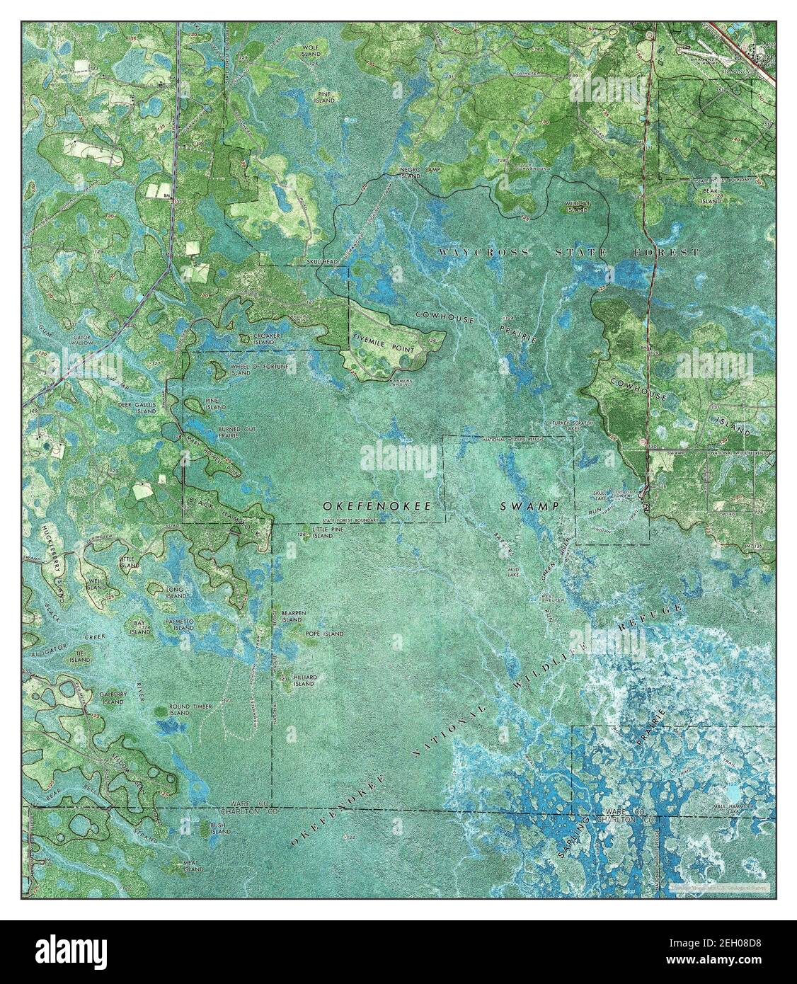 Waycross SE, Georgia, map 1967, 1:24000, United States of America by Timeless Maps, data U.S. Geological Survey Stock Photohttps://www.alamy.com/image-license-details/?v=1https://www.alamy.com/waycross-se-georgia-map-1967-124000-united-states-of-america-by-timeless-maps-data-us-geological-survey-image406294260.html
RM2EH08D8–Waycross SE, Georgia, map 1967, 1:24000, United States of America by Timeless Maps, data U.S. Geological Survey
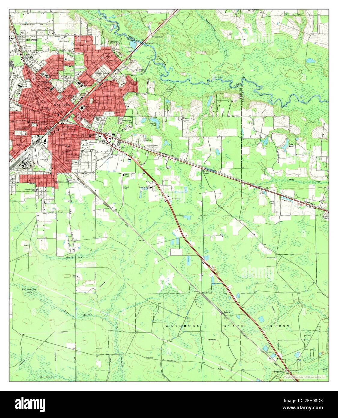 Waycross East, Georgia, map 1967, 1:24000, United States of America by Timeless Maps, data U.S. Geological Survey Stock Photohttps://www.alamy.com/image-license-details/?v=1https://www.alamy.com/waycross-east-georgia-map-1967-124000-united-states-of-america-by-timeless-maps-data-us-geological-survey-image406294271.html
RM2EH08DK–Waycross East, Georgia, map 1967, 1:24000, United States of America by Timeless Maps, data U.S. Geological Survey
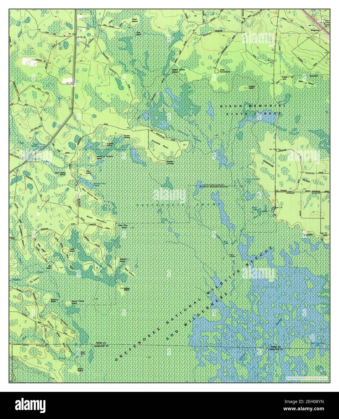 Waycross SE, Georgia, map 1994, 1:24000, United States of America by Timeless Maps, data U.S. Geological Survey Stock Photohttps://www.alamy.com/image-license-details/?v=1https://www.alamy.com/waycross-se-georgia-map-1994-124000-united-states-of-america-by-timeless-maps-data-us-geological-survey-image406294665.html
RM2EH08YN–Waycross SE, Georgia, map 1994, 1:24000, United States of America by Timeless Maps, data U.S. Geological Survey
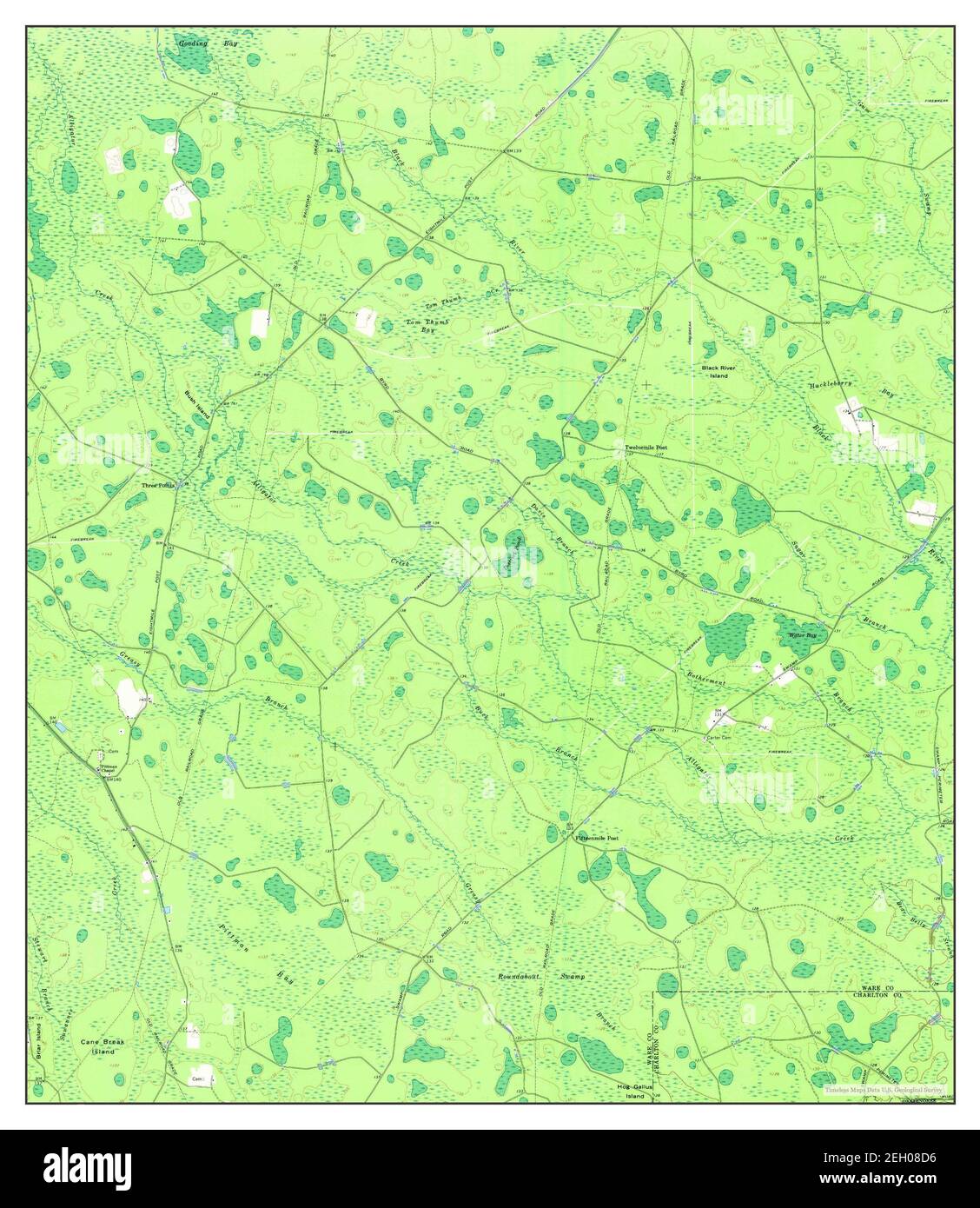 Waycross SW, Georgia, map 1967, 1:24000, United States of America by Timeless Maps, data U.S. Geological Survey Stock Photohttps://www.alamy.com/image-license-details/?v=1https://www.alamy.com/waycross-sw-georgia-map-1967-124000-united-states-of-america-by-timeless-maps-data-us-geological-survey-image406294258.html
RM2EH08D6–Waycross SW, Georgia, map 1967, 1:24000, United States of America by Timeless Maps, data U.S. Geological Survey
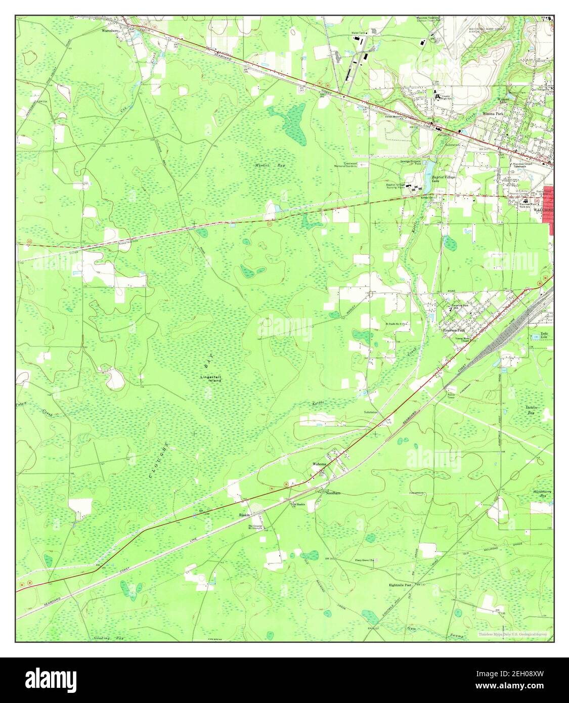 Waycross West, Georgia, map 1967, 1:24000, United States of America by Timeless Maps, data U.S. Geological Survey Stock Photohttps://www.alamy.com/image-license-details/?v=1https://www.alamy.com/waycross-west-georgia-map-1967-124000-united-states-of-america-by-timeless-maps-data-us-geological-survey-image406294641.html
RM2EH08XW–Waycross West, Georgia, map 1967, 1:24000, United States of America by Timeless Maps, data U.S. Geological Survey