Quick filters:
Wembley london map Stock Photos and Images
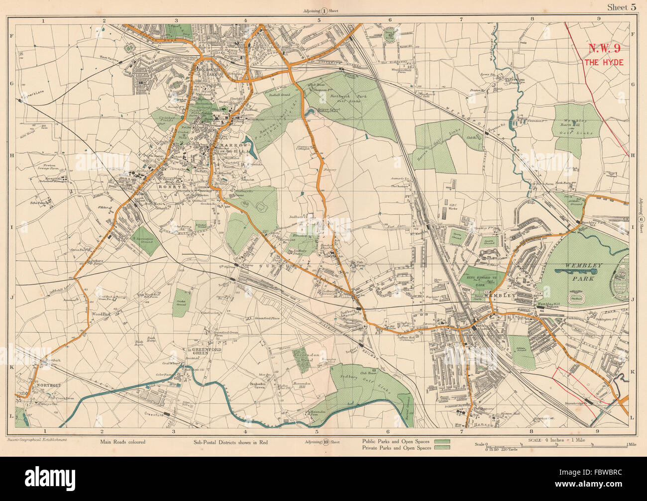 NW LONDON Wembley Harrow on the Hill Kenton Northolt Sudbury. BACON, 1927 map Stock Photohttps://www.alamy.com/image-license-details/?v=1https://www.alamy.com/stock-photo-nw-london-wembley-harrow-on-the-hill-kenton-northolt-sudbury-bacon-93371136.html
RFFBWBRC–NW LONDON Wembley Harrow on the Hill Kenton Northolt Sudbury. BACON, 1927 map
 Map of London Underground railway, for Harrods Stock Photohttps://www.alamy.com/image-license-details/?v=1https://www.alamy.com/map-of-london-underground-railway-for-harrods-image501470952.html
RM2M3RY8T–Map of London Underground railway, for Harrods
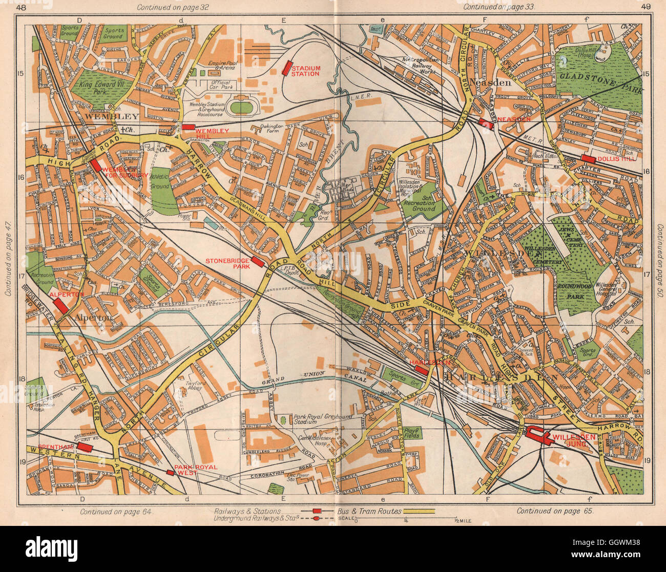 NW LONDON. Wembley Alperton Harlesden Willesden Neasden Dudden Hill, 1938 map Stock Photohttps://www.alamy.com/image-license-details/?v=1https://www.alamy.com/stock-photo-nw-london-wembley-alperton-harlesden-willesden-neasden-dudden-hill-113661276.html
RFGGWM38–NW LONDON. Wembley Alperton Harlesden Willesden Neasden Dudden Hill, 1938 map
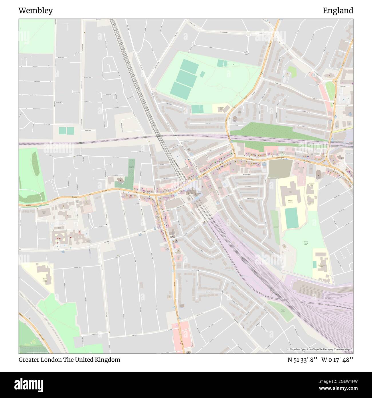 Wembley, Greater London, United Kingdom, England, N 51 33' 8'', W 0 17' 48'', map, Timeless Map published in 2021. Travelers, explorers and adventurers like Florence Nightingale, David Livingstone, Ernest Shackleton, Lewis and Clark and Sherlock Holmes relied on maps to plan travels to the world's most remote corners, Timeless Maps is mapping most locations on the globe, showing the achievement of great dreams Stock Photohttps://www.alamy.com/image-license-details/?v=1https://www.alamy.com/wembley-greater-london-united-kingdom-england-n-51-33-8-w-0-17-48-map-timeless-map-published-in-2021-travelers-explorers-and-adventurers-like-florence-nightingale-david-livingstone-ernest-shackleton-lewis-and-clark-and-sherlock-holmes-relied-on-maps-to-plan-travels-to-the-worlds-most-remote-corners-timeless-maps-is-mapping-most-locations-on-the-globe-showing-the-achievement-of-great-dreams-image439416765.html
RM2GEW4FW–Wembley, Greater London, United Kingdom, England, N 51 33' 8'', W 0 17' 48'', map, Timeless Map published in 2021. Travelers, explorers and adventurers like Florence Nightingale, David Livingstone, Ernest Shackleton, Lewis and Clark and Sherlock Holmes relied on maps to plan travels to the world's most remote corners, Timeless Maps is mapping most locations on the globe, showing the achievement of great dreams
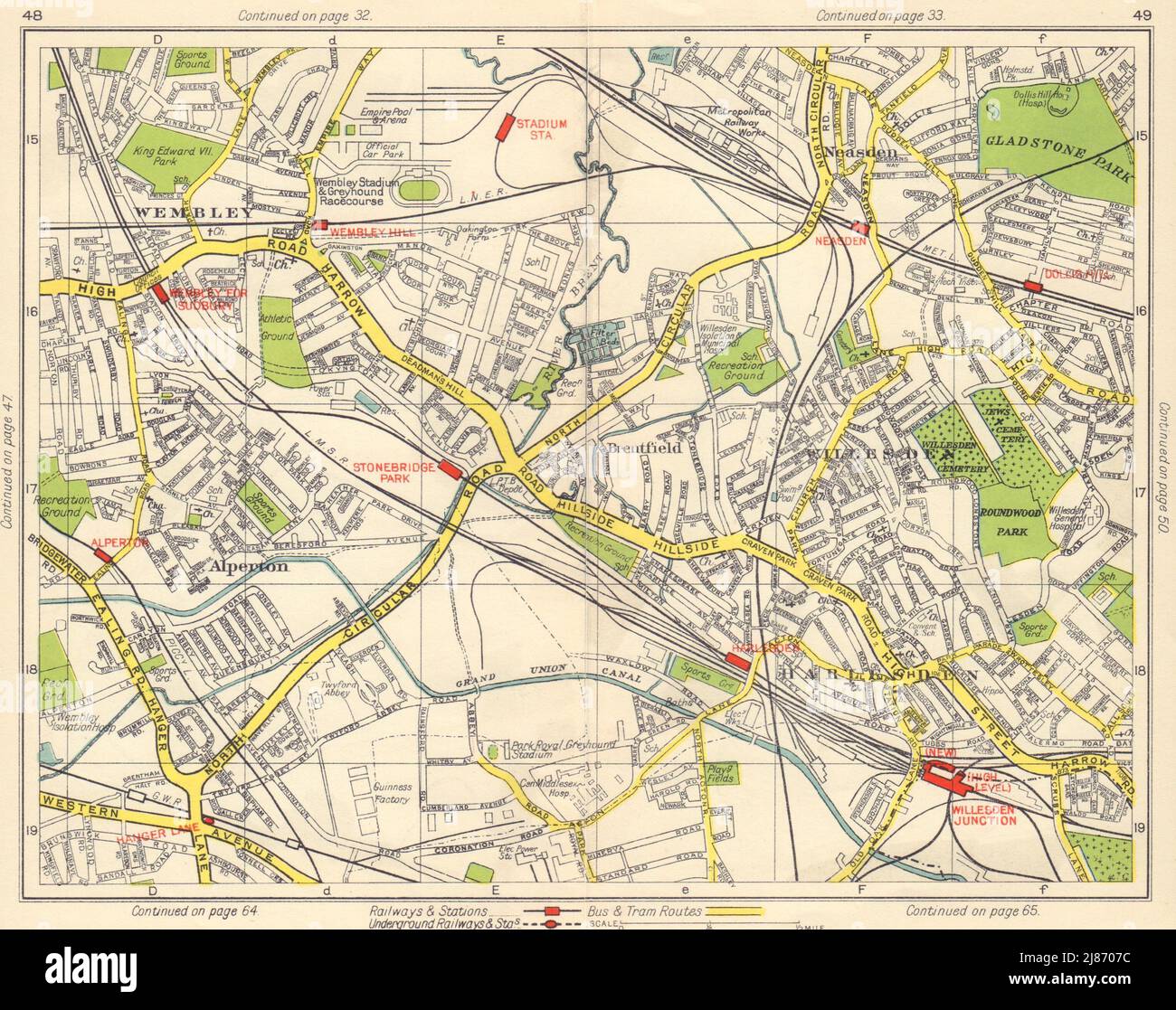 NW LONDON. Wembley Alperton Harlesden Willesden Neasden Dudden Hill 1948 map Stock Photohttps://www.alamy.com/image-license-details/?v=1https://www.alamy.com/nw-london-wembley-alperton-harlesden-willesden-neasden-dudden-hill-1948-map-image469751056.html
RF2J8707C–NW LONDON. Wembley Alperton Harlesden Willesden Neasden Dudden Hill 1948 map
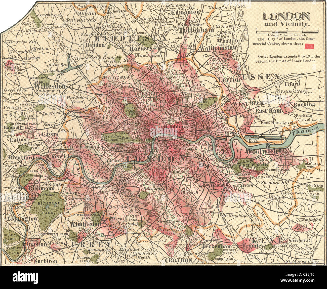 Map of London Stock Photohttps://www.alamy.com/image-license-details/?v=1https://www.alamy.com/stock-photo-map-of-london-35972160.html
RMC2EJT0–Map of London
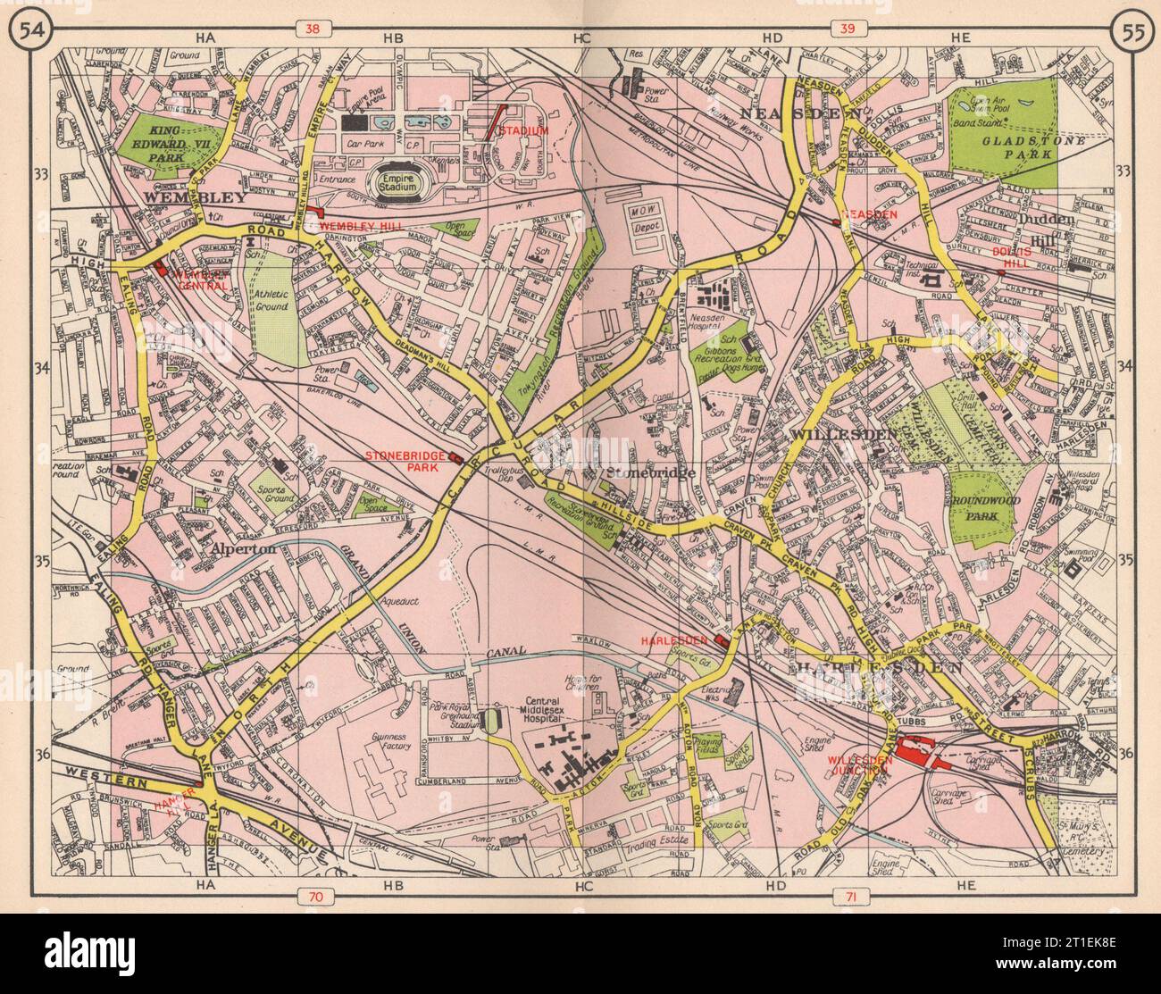 NW LONDON. Wembley Alperton Harlesden Willesden Neasden Dudden Hill 1953 map Stock Photohttps://www.alamy.com/image-license-details/?v=1https://www.alamy.com/nw-london-wembley-alperton-harlesden-willesden-neasden-dudden-hill-1953-map-image568879262.html
RF2T1EK8E–NW LONDON. Wembley Alperton Harlesden Willesden Neasden Dudden Hill 1953 map
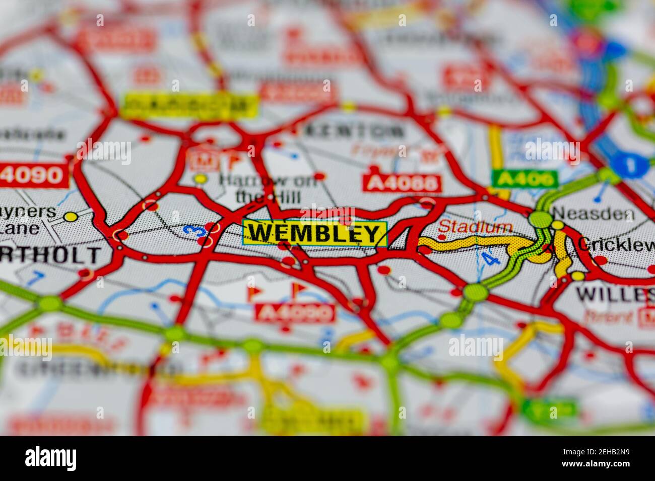 Wembley and surrounding areas shown on a road map or Geography map Stock Photohttps://www.alamy.com/image-license-details/?v=1https://www.alamy.com/wembley-and-surrounding-areas-shown-on-a-road-map-or-geography-map-image406531253.html
RM2EHB2N9–Wembley and surrounding areas shown on a road map or Geography map
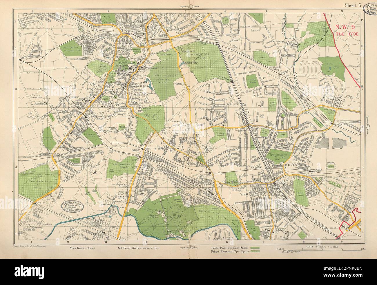 NW LONDON Wembley Harrow on the Hill Northolt Kenton Sudbury. BACON 1934 map Stock Photohttps://www.alamy.com/image-license-details/?v=1https://www.alamy.com/nw-london-wembley-harrow-on-the-hill-northolt-kenton-sudbury-bacon-1934-map-image546846601.html
RF2PNK0BN–NW LONDON Wembley Harrow on the Hill Northolt Kenton Sudbury. BACON 1934 map
 London, Baseball MLB Stadium, outline vector map. The baseball statium map was drawn with white areas and lines for main roads, side roads. Stock Vectorhttps://www.alamy.com/image-license-details/?v=1https://www.alamy.com/london-baseball-mlb-stadium-outline-vector-map-the-baseball-statium-map-was-drawn-with-white-areas-and-lines-for-main-roads-side-roads-image460058127.html
RF2HMDCRB–London, Baseball MLB Stadium, outline vector map. The baseball statium map was drawn with white areas and lines for main roads, side roads.
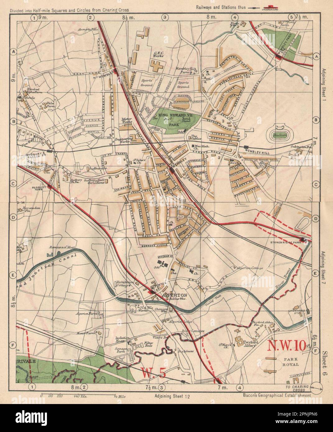 NW LONDON. Wembley Sudbury Alperton Park Royal Hanger Lane. BACON 1925 old map Stock Photohttps://www.alamy.com/image-license-details/?v=1https://www.alamy.com/nw-london-wembley-sudbury-alperton-park-royal-hanger-lane-bacon-1925-old-map-image546842162.html
RF2PNJPN6–NW LONDON. Wembley Sudbury Alperton Park Royal Hanger Lane. BACON 1925 old map
RM2YCGN5J–London, UK. 23rd Oct, 2024. The Map House presents the new exhibition Mapping the Tube: 1863-2023 exploring the evolution of London’s Tube system and the iconic London Underground map over 160 years and offers a rare opportunity to see and purchase hand-drawn and annotated manuscripts by Harry Beck on the 50th anniversary of his death. Beck's 1933 pocket map influenced the design of transport maps worldwide. The exhibition runs from 25 Oct - 30 Nov 2024. Image: Wembley Cup Final poster, 1934, against a wall of trifold Underground Maps. Credit: Malcolm Park/Alamy Live News
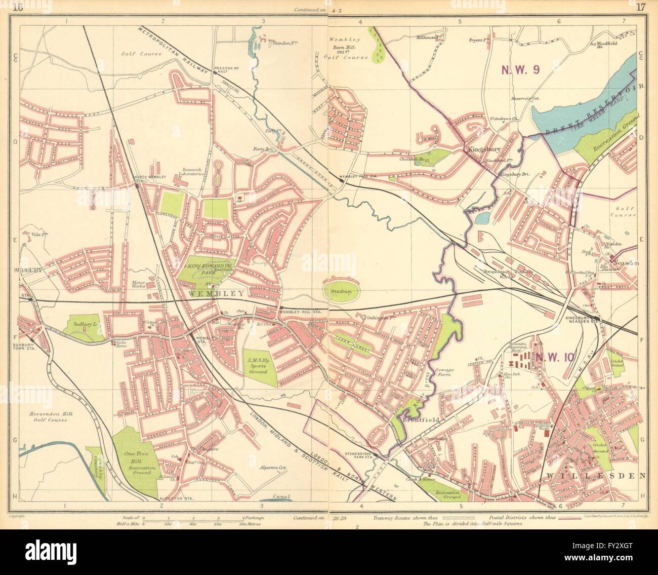 LONDON NW: Wembley Stadium Sudbury Willesden Kingsbury Neasden, 1930 old map Stock Photohttps://www.alamy.com/image-license-details/?v=1https://www.alamy.com/stock-photo-london-nw-wembley-stadium-sudbury-willesden-kingsbury-neasden-1930-102712312.html
RFFY2XGT–LONDON NW: Wembley Stadium Sudbury Willesden Kingsbury Neasden, 1930 old map
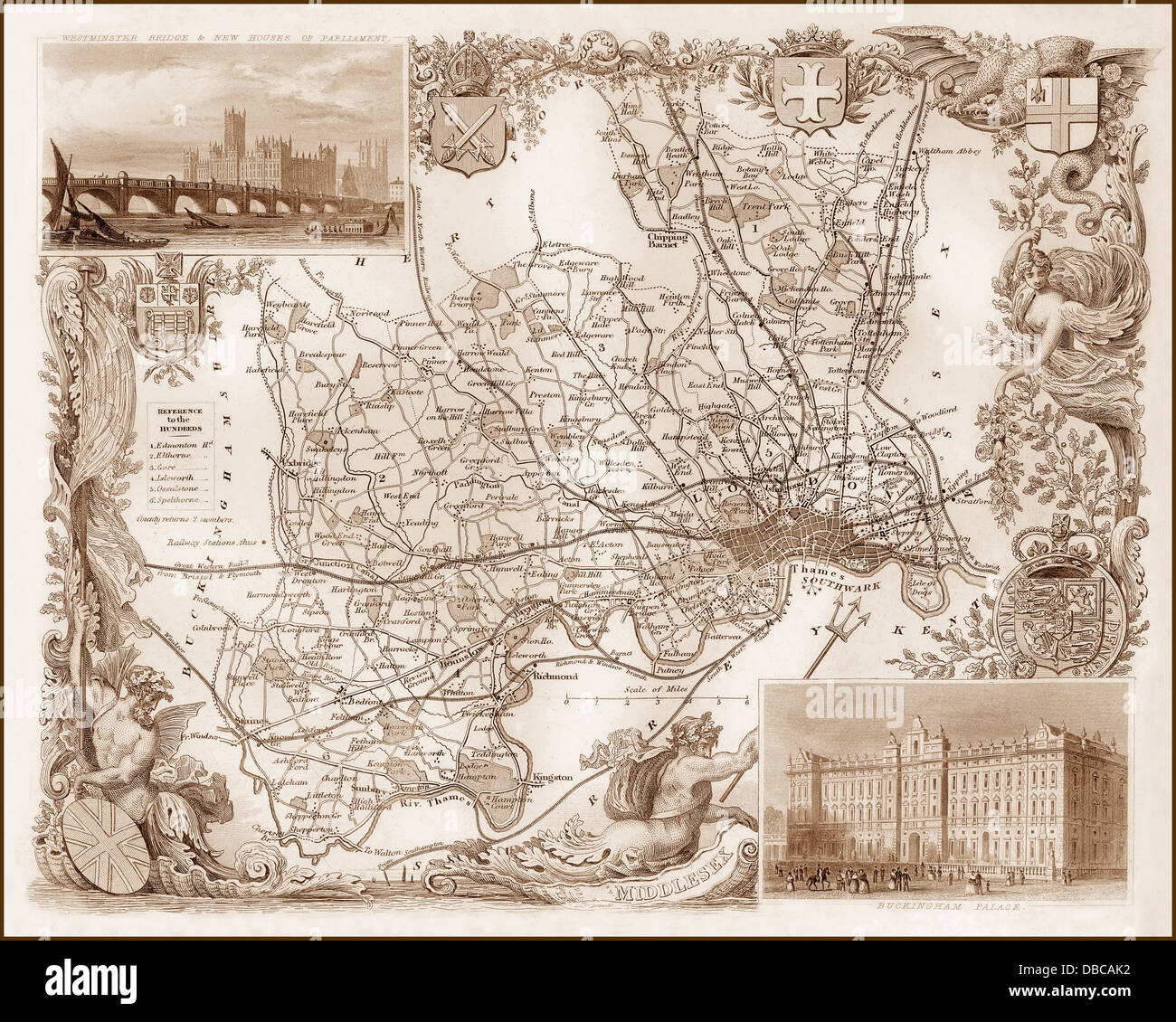 1840s Victorian Map of Middlesex Stock Photohttps://www.alamy.com/image-license-details/?v=1https://www.alamy.com/stock-photo-1840s-victorian-map-of-middlesex-58664118.html
RFDBCAK2–1840s Victorian Map of Middlesex
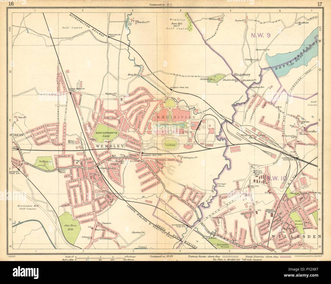 LONDON NW: Wembley Stadium & Exhibition Sudbury Willesden Neasden, 1925 map Stock Photohttps://www.alamy.com/image-license-details/?v=1https://www.alamy.com/stock-photo-london-nw-wembley-stadium-exhibition-sudbury-willesden-neasden-1925-102712071.html
RFFY2X87–LONDON NW: Wembley Stadium & Exhibition Sudbury Willesden Neasden, 1925 map
 London, UK. 17 August 2024. Taylor Swift tube map and signage at Wembley Park tube station as fans ('Swifties'), many in costumes referencing the singer’s repertoire, arrive for night three of Taylor Swift’s Eras Tour August concerts at Wembley Stadium. Taylor Swift performed for three nights in June and is playing five more nights which commenced 15 August. Security is reported to have been increased following the cancellation of the singer’s concerts in Vienna due to suspected terrorist threats. Credit: Stephen Chung / Alamy Live News Stock Photohttps://www.alamy.com/image-license-details/?v=1https://www.alamy.com/london-uk-17-august-2024-taylor-swift-tube-map-and-signage-at-wembley-park-tube-station-as-fans-swifties-many-in-costumes-referencing-the-singers-repertoire-arrive-for-night-three-of-taylor-swifts-eras-tour-august-concerts-at-wembley-stadium-taylor-swift-performed-for-three-nights-in-june-and-is-playing-five-more-nights-which-commenced-15-august-security-is-reported-to-have-been-increased-following-the-cancellation-of-the-singers-concerts-in-vienna-due-to-suspected-terrorist-threats-credit-stephen-chung-alamy-live-news-image617837309.html
RM2XW4WP5–London, UK. 17 August 2024. Taylor Swift tube map and signage at Wembley Park tube station as fans ('Swifties'), many in costumes referencing the singer’s repertoire, arrive for night three of Taylor Swift’s Eras Tour August concerts at Wembley Stadium. Taylor Swift performed for three nights in June and is playing five more nights which commenced 15 August. Security is reported to have been increased following the cancellation of the singer’s concerts in Vienna due to suspected terrorist threats. Credit: Stephen Chung / Alamy Live News
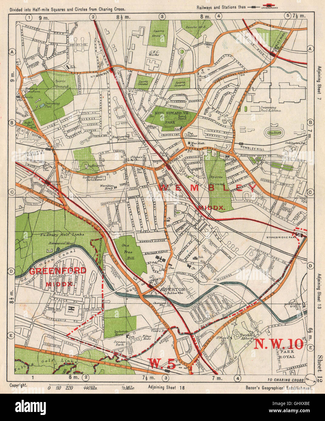 NW LONDON. Wembley Sudbury Alperton Park Royal Hanger Lane. BACON, 1938 map Stock Photohttps://www.alamy.com/image-license-details/?v=1https://www.alamy.com/stock-photo-nw-london-wembley-sudbury-alperton-park-royal-hanger-lane-bacon-1938-114302818.html
RFGHXXBE–NW LONDON. Wembley Sudbury Alperton Park Royal Hanger Lane. BACON, 1938 map
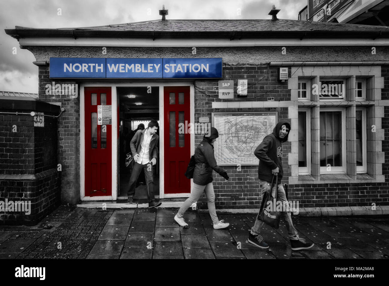 London Underground Tube Station: North Wembley Stock Photohttps://www.alamy.com/image-license-details/?v=1https://www.alamy.com/london-underground-tube-station-north-wembley-image178310112.html
RFMA2MA8–London Underground Tube Station: North Wembley
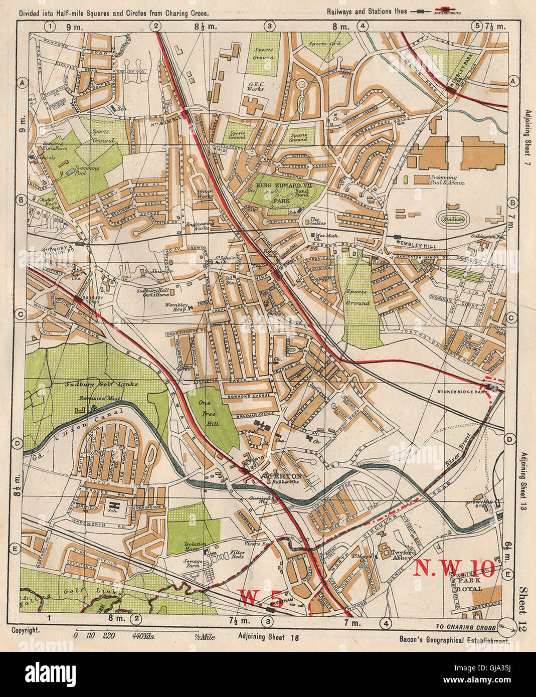 NW LONDON. Wembley Sudbury Alperton Park Royal Hanger Lane. BACON, 1933 map Stock Photohttps://www.alamy.com/image-license-details/?v=1https://www.alamy.com/stock-photo-nw-london-wembley-sudbury-alperton-park-royal-hanger-lane-bacon-1933-114548046.html
RFGJA35J–NW LONDON. Wembley Sudbury Alperton Park Royal Hanger Lane. BACON, 1933 map
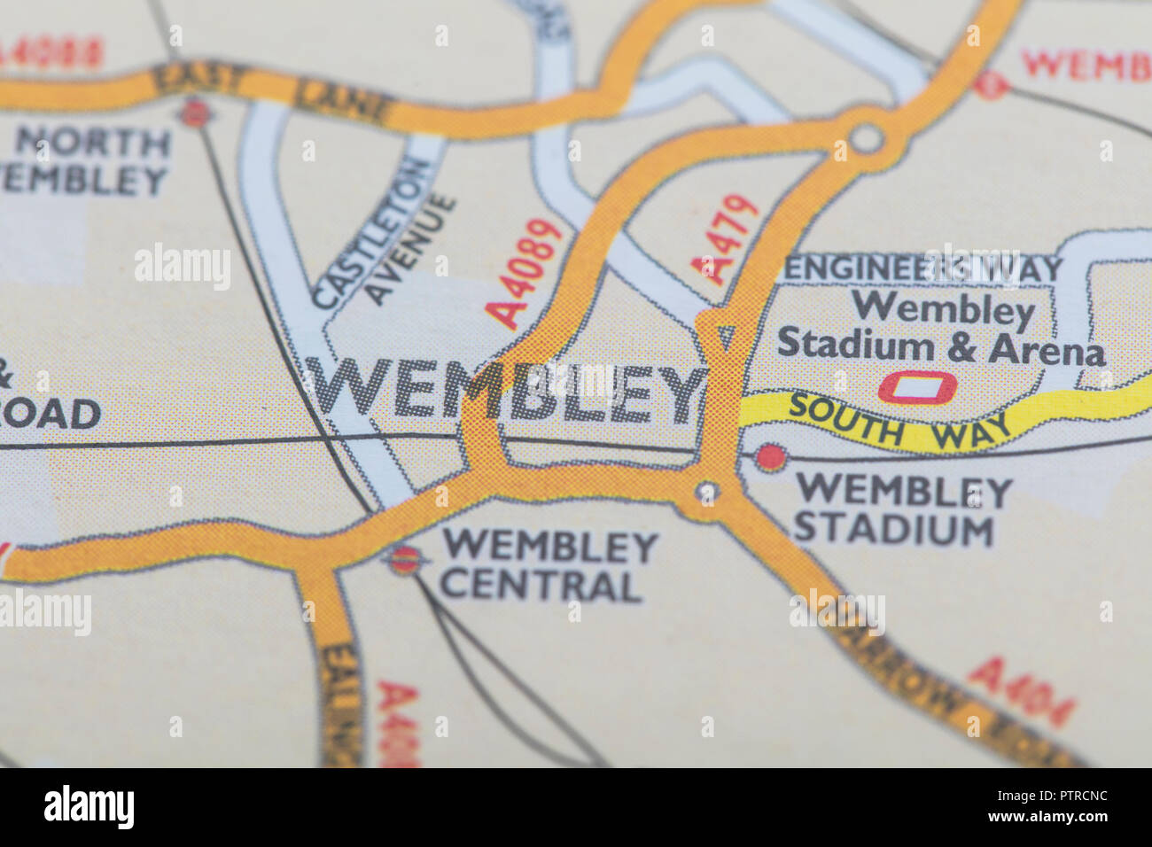 London borough of Wembley location map Stock Photohttps://www.alamy.com/image-license-details/?v=1https://www.alamy.com/london-borough-of-wembley-location-map-image221791064.html
RFPTRCNC–London borough of Wembley location map
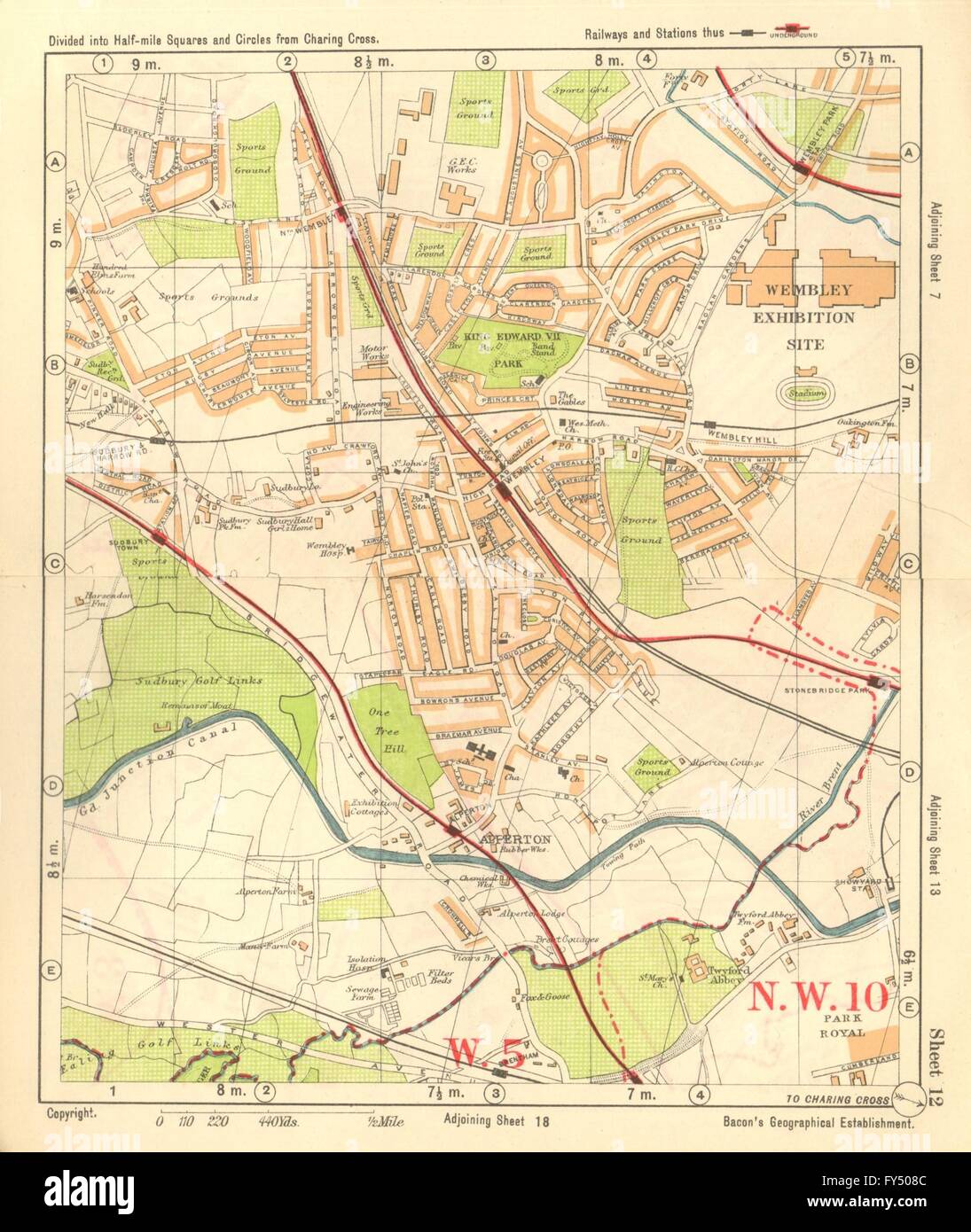 NW LONDON. Wembley Sudbury Alperton Park Royal Hanger Lane. BACON, 1928 map Stock Photohttps://www.alamy.com/image-license-details/?v=1https://www.alamy.com/stock-photo-nw-london-wembley-sudbury-alperton-park-royal-hanger-lane-bacon-1928-102757548.html
RFFY508C–NW LONDON. Wembley Sudbury Alperton Park Royal Hanger Lane. BACON, 1928 map
 A Taylor Swift themed London tube map at Wembley Park station, north west London, ahead of Taylor Swift's Era's Tour concert on Thursday. Picture date: Wednesday August 14, 2024. Stock Photohttps://www.alamy.com/image-license-details/?v=1https://www.alamy.com/a-taylor-swift-themed-london-tube-map-at-wembley-park-station-north-west-london-ahead-of-taylor-swifts-eras-tour-concert-on-thursday-picture-date-wednesday-august-14-2024-image617391935.html
RM2XTCHKY–A Taylor Swift themed London tube map at Wembley Park station, north west London, ahead of Taylor Swift's Era's Tour concert on Thursday. Picture date: Wednesday August 14, 2024.
 LONDON NW:Hendon Child's Hill Hampstead Wembley Golders Green Willesden 1913 map Stock Photohttps://www.alamy.com/image-license-details/?v=1https://www.alamy.com/stock-photo-london-nwhendon-childs-hill-hampstead-wembley-golders-green-willesden-108404230.html
RFG8A6KJ–LONDON NW:Hendon Child's Hill Hampstead Wembley Golders Green Willesden 1913 map
 Wembley Central, Greater London, United Kingdom, England, N 51 32' 59'', W 0 17' 50'', map, Timeless Map published in 2021. Travelers, explorers and adventurers like Florence Nightingale, David Livingstone, Ernest Shackleton, Lewis and Clark and Sherlock Holmes relied on maps to plan travels to the world's most remote corners, Timeless Maps is mapping most locations on the globe, showing the achievement of great dreams Stock Photohttps://www.alamy.com/image-license-details/?v=1https://www.alamy.com/wembley-central-greater-london-united-kingdom-england-n-51-32-59-w-0-17-50-map-timeless-map-published-in-2021-travelers-explorers-and-adventurers-like-florence-nightingale-david-livingstone-ernest-shackleton-lewis-and-clark-and-sherlock-holmes-relied-on-maps-to-plan-travels-to-the-worlds-most-remote-corners-timeless-maps-is-mapping-most-locations-on-the-globe-showing-the-achievement-of-great-dreams-image439413434.html
RM2GEW08X–Wembley Central, Greater London, United Kingdom, England, N 51 32' 59'', W 0 17' 50'', map, Timeless Map published in 2021. Travelers, explorers and adventurers like Florence Nightingale, David Livingstone, Ernest Shackleton, Lewis and Clark and Sherlock Holmes relied on maps to plan travels to the world's most remote corners, Timeless Maps is mapping most locations on the globe, showing the achievement of great dreams
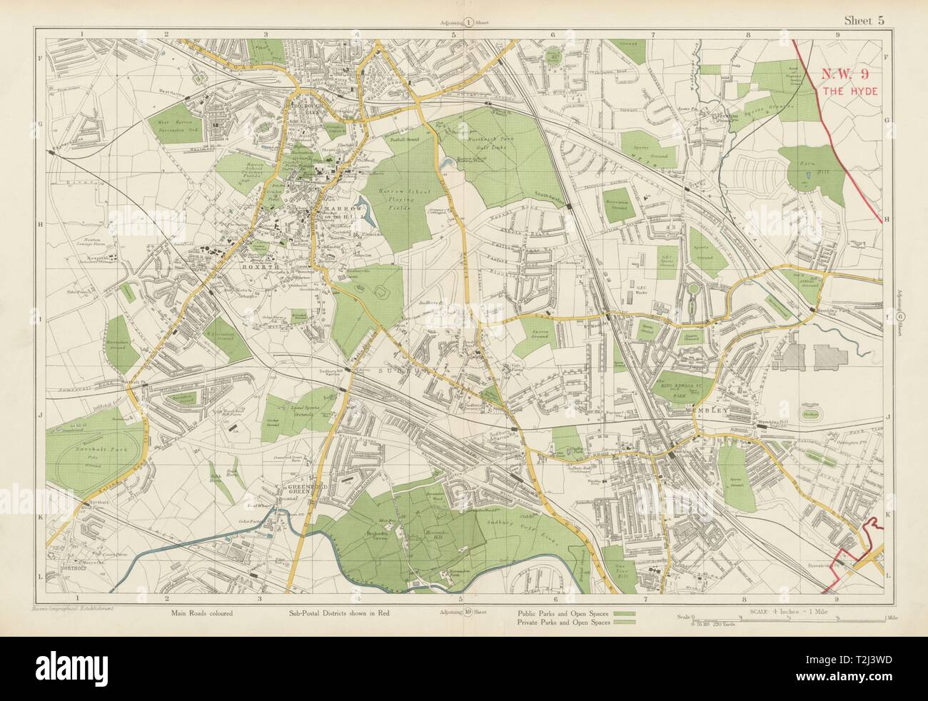 NW LONDON Wembley Harrow on the Hill Kenton Northolt Sudbury. BACON 1934 map Stock Photohttps://www.alamy.com/image-license-details/?v=1https://www.alamy.com/nw-london-wembley-harrow-on-the-hill-kenton-northolt-sudbury-bacon-1934-map-image242572665.html
RFT2J3WD–NW LONDON Wembley Harrow on the Hill Kenton Northolt Sudbury. BACON 1934 map
 London, 15th August 2024, Swiftie photographing the Taylor Swift version of the Tube map at Wembley Park station for Taylor Swift's The Eras Tour at Wembley Stadium - Credit Lou Morris/Alamy Live News Stock Photohttps://www.alamy.com/image-license-details/?v=1https://www.alamy.com/london-15th-august-2024-swiftie-photographing-the-taylor-swift-version-of-the-tube-map-at-wembley-park-station-for-taylor-swifts-the-eras-tour-at-wembley-stadium-credit-lou-morrisalamy-live-news-image617553388.html
RM2XTKYJ4–London, 15th August 2024, Swiftie photographing the Taylor Swift version of the Tube map at Wembley Park station for Taylor Swift's The Eras Tour at Wembley Stadium - Credit Lou Morris/Alamy Live News
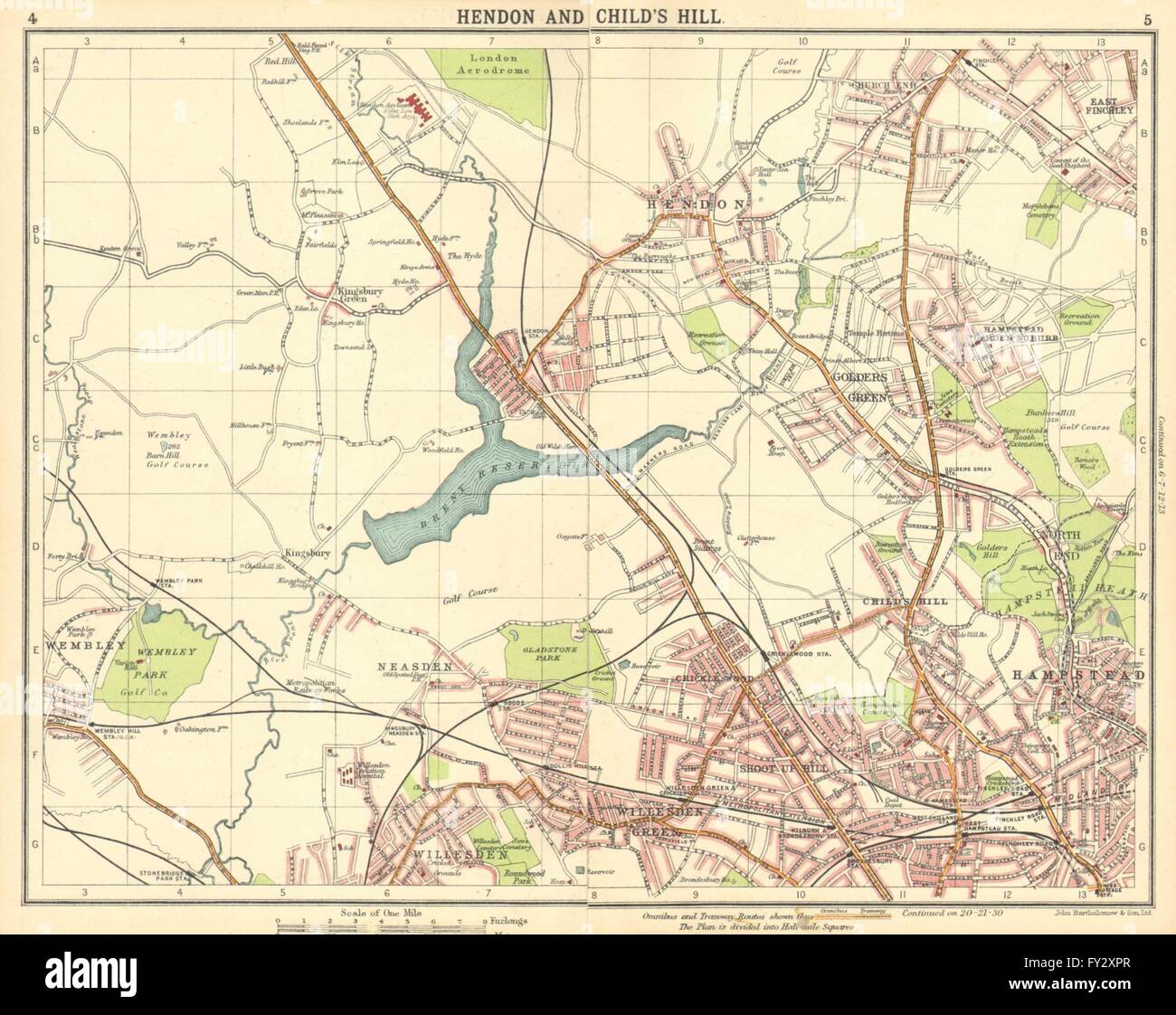 LONDON N:Hendon Childs Hill Hampstead Wembley Golders Green Willesden, 1921 map Stock Photohttps://www.alamy.com/image-license-details/?v=1https://www.alamy.com/stock-photo-london-nhendon-childs-hill-hampstead-wembley-golders-green-willesden-102712479.html
RFFY2XPR–LONDON N:Hendon Childs Hill Hampstead Wembley Golders Green Willesden, 1921 map
 London, UK. 15 Aug 2024. A general view of the London Tube map redone with Taylor Swift songs at Wembley Stadium ahead of the singer's first show on the 2nd leg of her five night Wembley Stadium residency and is the first concert since her Vienna concerts were cancelled due to a terror threat. Credit: Justin Ng/Alamy Live News Stock Photohttps://www.alamy.com/image-license-details/?v=1https://www.alamy.com/london-uk-15-aug-2024-a-general-view-of-the-london-tube-map-redone-with-taylor-swift-songs-at-wembley-stadium-ahead-of-the-singers-first-show-on-the-2nd-leg-of-her-five-night-wembley-stadium-residency-and-is-the-first-concert-since-her-vienna-concerts-were-cancelled-due-to-a-terror-threat-credit-justin-ngalamy-live-news-image617544377.html
RM2XTKG49–London, UK. 15 Aug 2024. A general view of the London Tube map redone with Taylor Swift songs at Wembley Stadium ahead of the singer's first show on the 2nd leg of her five night Wembley Stadium residency and is the first concert since her Vienna concerts were cancelled due to a terror threat. Credit: Justin Ng/Alamy Live News
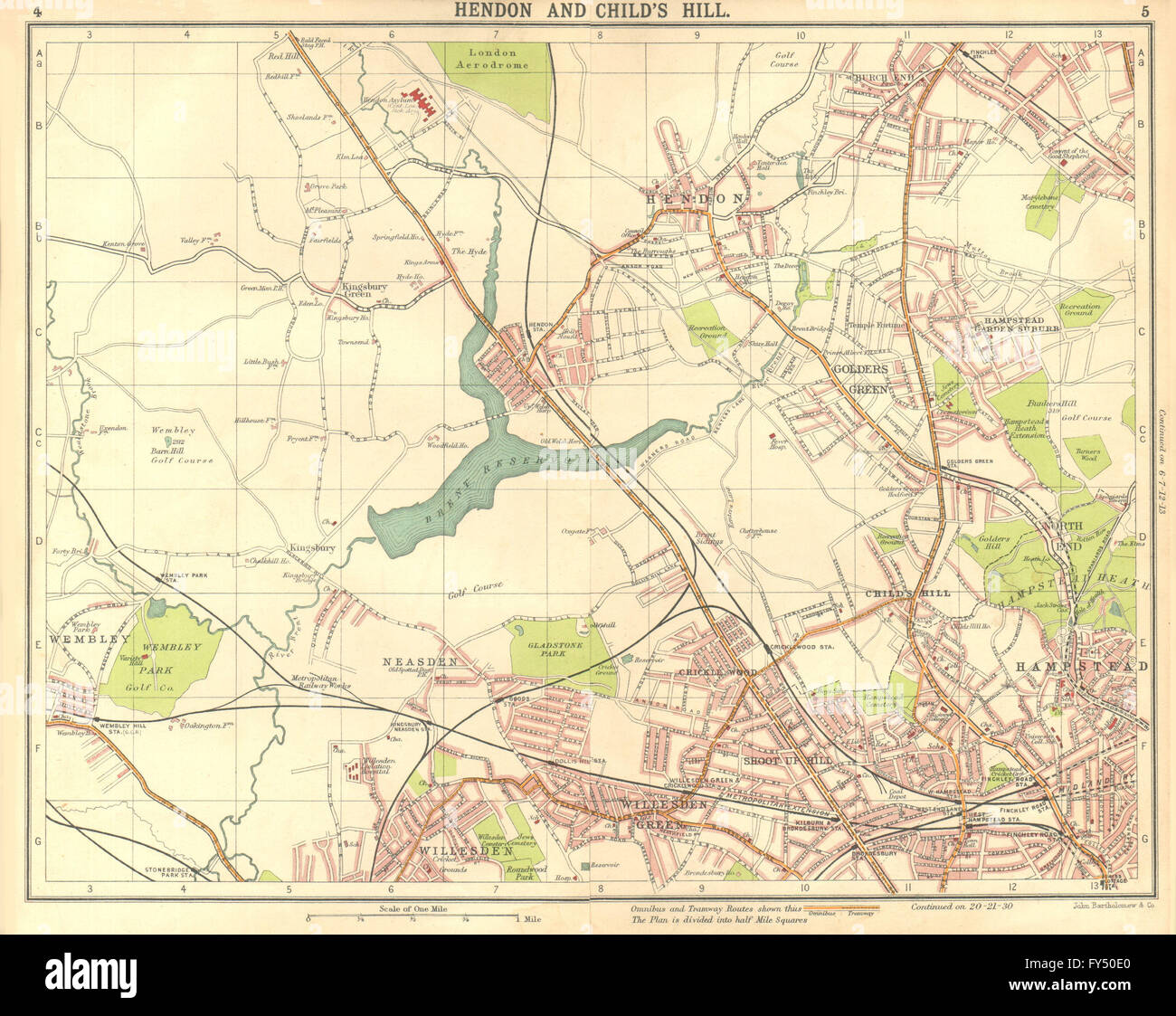 LONDON N:Hendon Childs Hill Hampstead Wembley Golders Green Willesden, 1917 map Stock Photohttps://www.alamy.com/image-license-details/?v=1https://www.alamy.com/stock-photo-london-nhendon-childs-hill-hampstead-wembley-golders-green-willesden-102757704.html
RFFY50E0–LONDON N:Hendon Childs Hill Hampstead Wembley Golders Green Willesden, 1917 map
 London Underground Station, Wembley Central, South Kenton, Harrow and Wealdstone Stock Photohttps://www.alamy.com/image-license-details/?v=1https://www.alamy.com/london-underground-station-wembley-central-south-kenton-harrow-and-wealdstone-image230422254.html
RFRATHX6–London Underground Station, Wembley Central, South Kenton, Harrow and Wealdstone
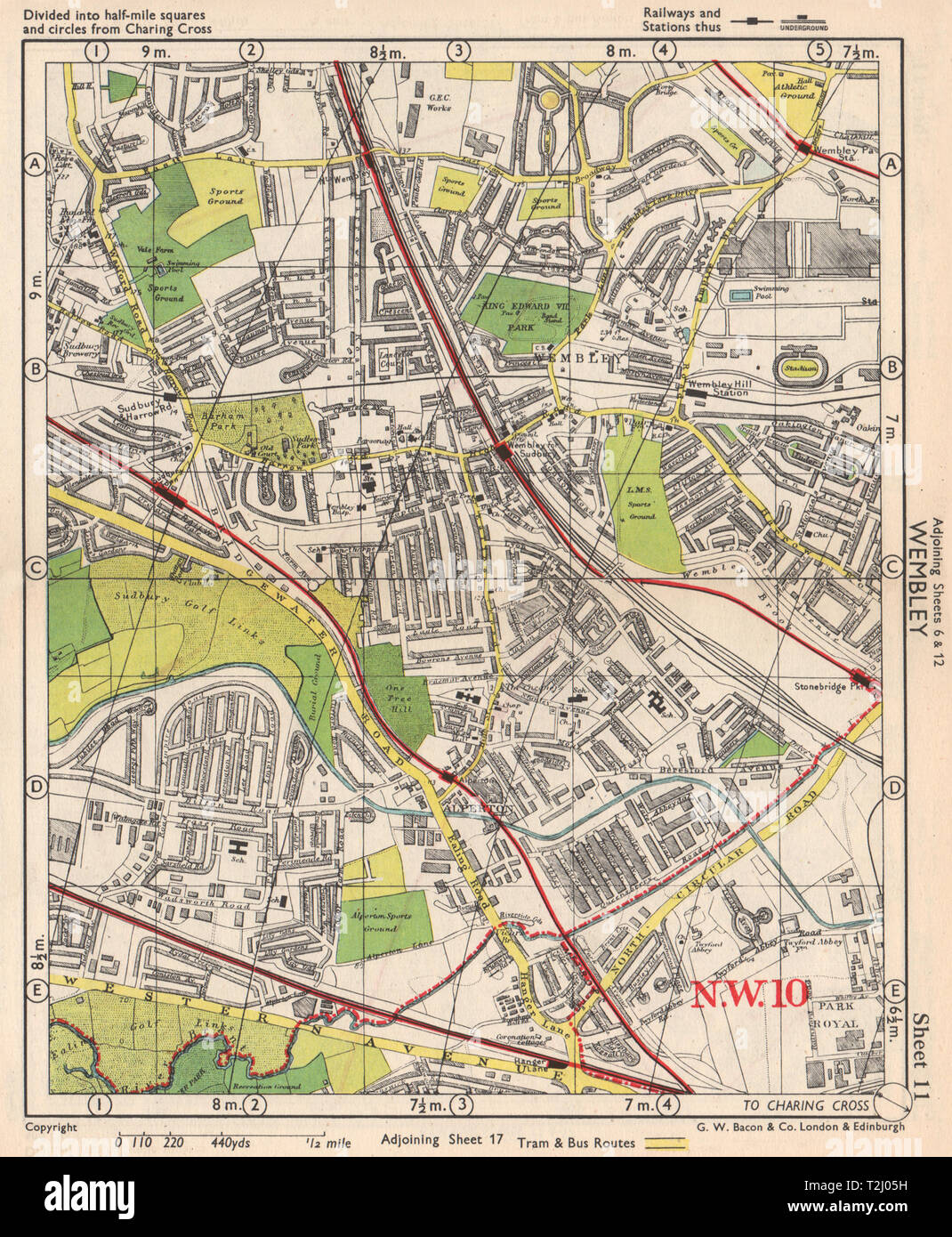 NW LONDON. Wembley Sudbury Alperton Park Royal Hanger Lane. BACON 1948 old map Stock Photohttps://www.alamy.com/image-license-details/?v=1https://www.alamy.com/nw-london-wembley-sudbury-alperton-park-royal-hanger-lane-bacon-1948-old-map-image242569757.html
RFT2J05H–NW LONDON. Wembley Sudbury Alperton Park Royal Hanger Lane. BACON 1948 old map
 1970 London to Mexico World Cup Rally. The motor rally started at Wembley Stadium in London on 19 April 1970 and finished in Mexico City on 27 May 1970, covering approximately 16,000 miles. Pictured, Evening Standard Austin Maxi Drivers, (l-r) Miss Rosemary Smith, Mrs Alice Watson and Miss G Derolland, Wembley, London, 19th April 1970. Stock Photohttps://www.alamy.com/image-license-details/?v=1https://www.alamy.com/1970-london-to-mexico-world-cup-rally-the-motor-rally-started-at-wembley-stadium-in-london-on-19-april-1970-and-finished-in-mexico-city-on-27-may-1970-covering-approximately-16000-miles-pictured-evening-standard-austin-maxi-drivers-l-r-miss-rosemary-smith-mrs-alice-watson-and-miss-g-derolland-wembley-london-19th-april-1970-image463158091.html
RM2HWEJTB–1970 London to Mexico World Cup Rally. The motor rally started at Wembley Stadium in London on 19 April 1970 and finished in Mexico City on 27 May 1970, covering approximately 16,000 miles. Pictured, Evening Standard Austin Maxi Drivers, (l-r) Miss Rosemary Smith, Mrs Alice Watson and Miss G Derolland, Wembley, London, 19th April 1970.
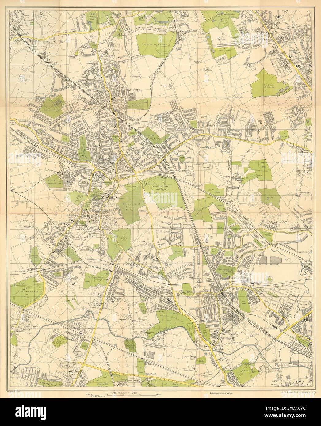 Bacon's Large Scale Plan of Harrow. Edgware Sudbury & Wembley 50x62cm c1925 map Stock Photohttps://www.alamy.com/image-license-details/?v=1https://www.alamy.com/bacons-large-scale-plan-of-harrow-edgware-sudbury-wembley-50x62cm-c1925-map-image610578400.html
RF2XDA6YC–Bacon's Large Scale Plan of Harrow. Edgware Sudbury & Wembley 50x62cm c1925 map
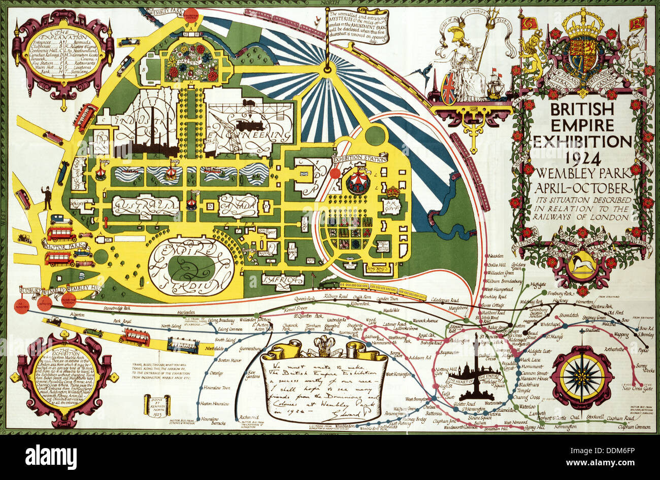 Site Map for the British Empire Exhibition, 1924. Artist: Unknown Stock Photohttps://www.alamy.com/image-license-details/?v=1https://www.alamy.com/site-map-for-the-british-empire-exhibition-1924-artist-unknown-image60065818.html
RMDDM6FP–Site Map for the British Empire Exhibition, 1924. Artist: Unknown
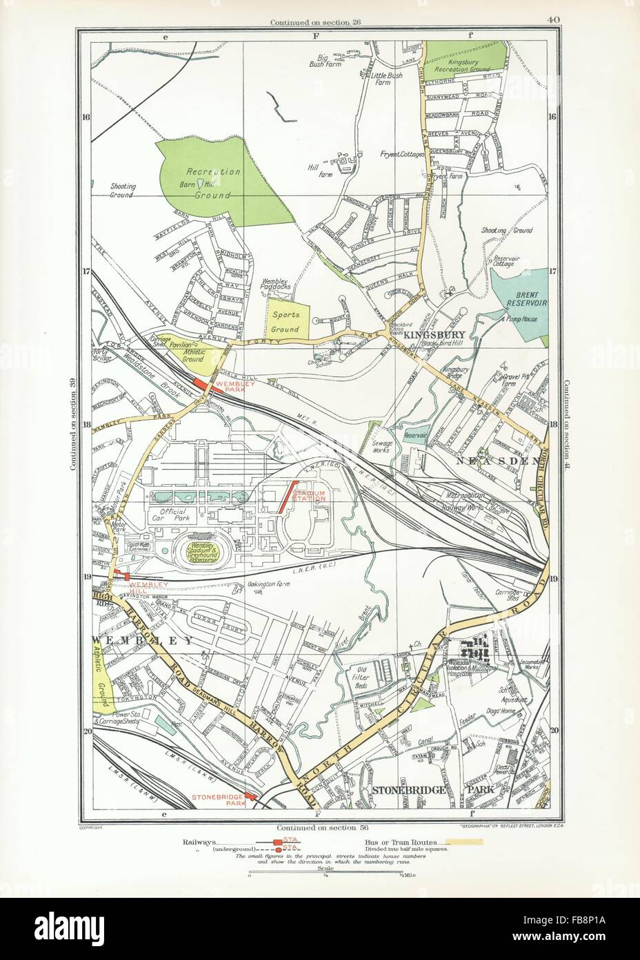 WEMBLEY. Kingsbury, Neasden, Church End, British Empire Exhibition, 1933 map Stock Photohttps://www.alamy.com/image-license-details/?v=1https://www.alamy.com/stock-photo-wembley-kingsbury-neasden-church-end-british-empire-exhibition-1933-93005958.html
RFFB8P1A–WEMBLEY. Kingsbury, Neasden, Church End, British Empire Exhibition, 1933 map
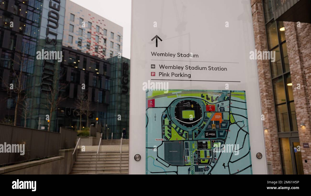 Direction sign and Map to Wembley stadium - LONDON, UK - DECEMBER 20, 2022 Stock Photohttps://www.alamy.com/image-license-details/?v=1https://www.alamy.com/direction-sign-and-map-to-wembley-stadium-london-uk-december-20-2022-image502824050.html
RF2M61H5P–Direction sign and Map to Wembley stadium - LONDON, UK - DECEMBER 20, 2022
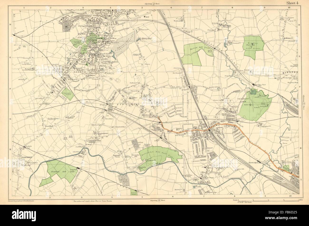 HARROW WEMBLEY: Sudbury,Greenford,Northolt,Kenton,Alperton (Bacon), c1911 map Stock Photohttps://www.alamy.com/image-license-details/?v=1https://www.alamy.com/stock-photo-harrow-wembley-sudburygreenfordnortholtkentonalperton-bacon-c1911-92955021.html
RFFB6D25–HARROW WEMBLEY: Sudbury,Greenford,Northolt,Kenton,Alperton (Bacon), c1911 map
 ''The 1948 London Olympic Games" - back cover, 1948. Souvenir booklet for visitors to the Olympic Games, showing a map of the area to the west of London with railway and underground lines, stations, and sports grounds in French and Spanish as well as English: 'Hockey, Olympic Centre, (Housing/Logements/Alojamiento), Training Track - Piste d'Entrainment/Pista de Entrenamiento, Stadium - Stade - Estadio'. Also shown are the Empire Stadium and Empire Pool. The 1948 Summer Olympics (officially the Games of the XIV Olympiad and also known as London 1948) were an international multi-sport event Stock Photohttps://www.alamy.com/image-license-details/?v=1https://www.alamy.com/the-1948-london-olympic-gamesquot-back-cover-1948-souvenir-booklet-for-visitors-to-the-olympic-games-showing-a-map-of-the-area-to-the-west-of-london-with-railway-and-underground-lines-stations-and-sports-grounds-in-french-and-spanish-as-well-as-english-hockey-olympic-centre-housinglogementsalojamiento-training-track-piste-dentrainmentpista-de-entrenamiento-stadium-stade-estadio-also-shown-are-the-empire-stadium-and-empire-pool-the-1948-summer-olympics-officially-the-games-of-the-xiv-olympiad-and-also-known-as-london-1948-were-an-international-multi-sport-event-image608997832.html
RM2XAP6XG–''The 1948 London Olympic Games" - back cover, 1948. Souvenir booklet for visitors to the Olympic Games, showing a map of the area to the west of London with railway and underground lines, stations, and sports grounds in French and Spanish as well as English: 'Hockey, Olympic Centre, (Housing/Logements/Alojamiento), Training Track - Piste d'Entrainment/Pista de Entrenamiento, Stadium - Stade - Estadio'. Also shown are the Empire Stadium and Empire Pool. The 1948 Summer Olympics (officially the Games of the XIV Olympiad and also known as London 1948) were an international multi-sport event
 WEMBLEY: Kingsbury, Neasden, Church End, British Empire Exhibition, 1937 map Stock Photohttps://www.alamy.com/image-license-details/?v=1https://www.alamy.com/stock-photo-wembley-kingsbury-neasden-church-end-british-empire-exhibition-1937-92883495.html
RFFB35RK–WEMBLEY: Kingsbury, Neasden, Church End, British Empire Exhibition, 1937 map
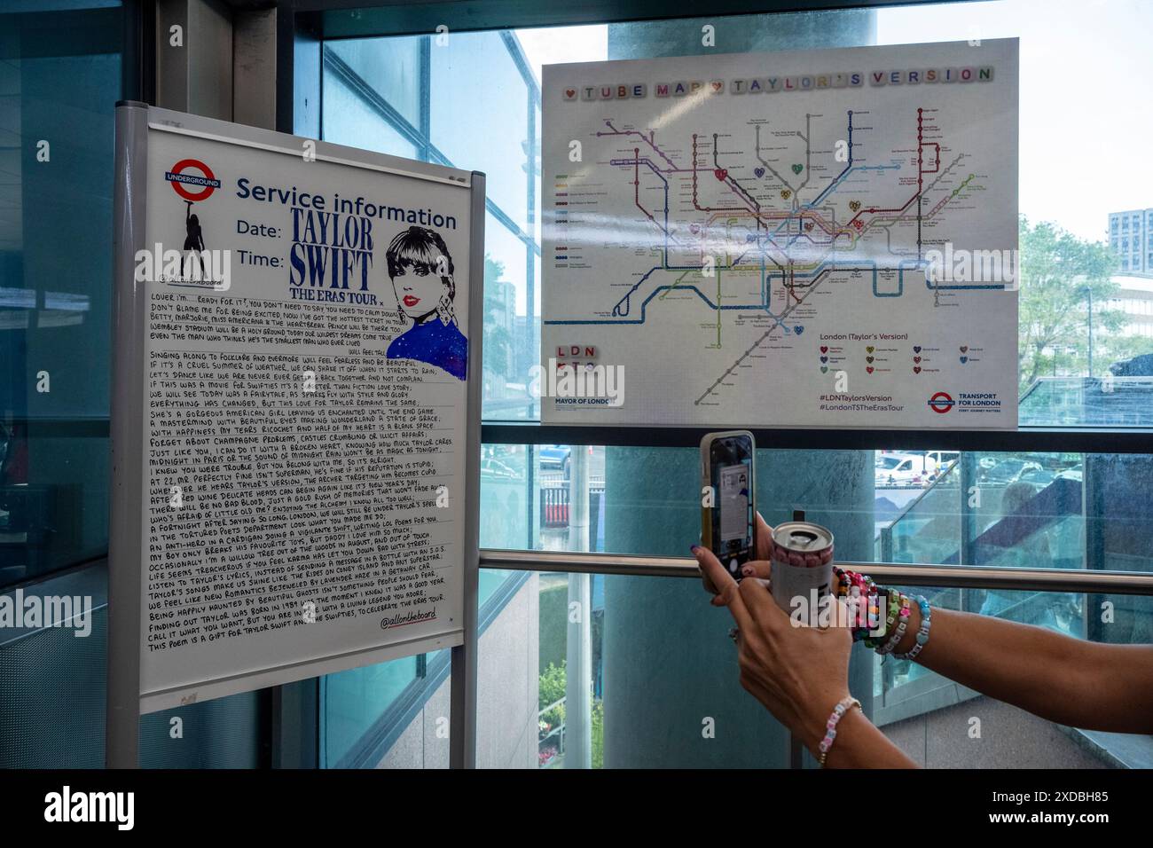 London, UK. 21 June 2024. A TFL message for Taylor Swift and a customised Taylor Swift TFL Underground map (each station renamed and each tube line renamed) at Wembley Park tube station. Taylor Swift fans ('Swifties') on Olympic Way outside Wembley Stadium for the first of Taylor Swift’s Eras Tour June concerts. Taylor Swift will perform at Wembley Stadium for three nights, beginning 21 June, and then five nights in August. Credit: Stephen Chung / Alamy Live News Stock Photohttps://www.alamy.com/image-license-details/?v=1https://www.alamy.com/london-uk-21-june-2024-a-tfl-message-for-taylor-swift-and-a-customised-taylor-swift-tfl-underground-map-each-station-renamed-and-each-tube-line-renamed-at-wembley-park-tube-station-taylor-swift-fans-swifties-on-olympic-way-outside-wembley-stadium-for-the-first-of-taylor-swifts-eras-tour-june-concerts-taylor-swift-will-perform-at-wembley-stadium-for-three-nights-beginning-21-june-and-then-five-nights-in-august-credit-stephen-chung-alamy-live-news-image610608437.html
RM2XDBH85–London, UK. 21 June 2024. A TFL message for Taylor Swift and a customised Taylor Swift TFL Underground map (each station renamed and each tube line renamed) at Wembley Park tube station. Taylor Swift fans ('Swifties') on Olympic Way outside Wembley Stadium for the first of Taylor Swift’s Eras Tour June concerts. Taylor Swift will perform at Wembley Stadium for three nights, beginning 21 June, and then five nights in August. Credit: Stephen Chung / Alamy Live News
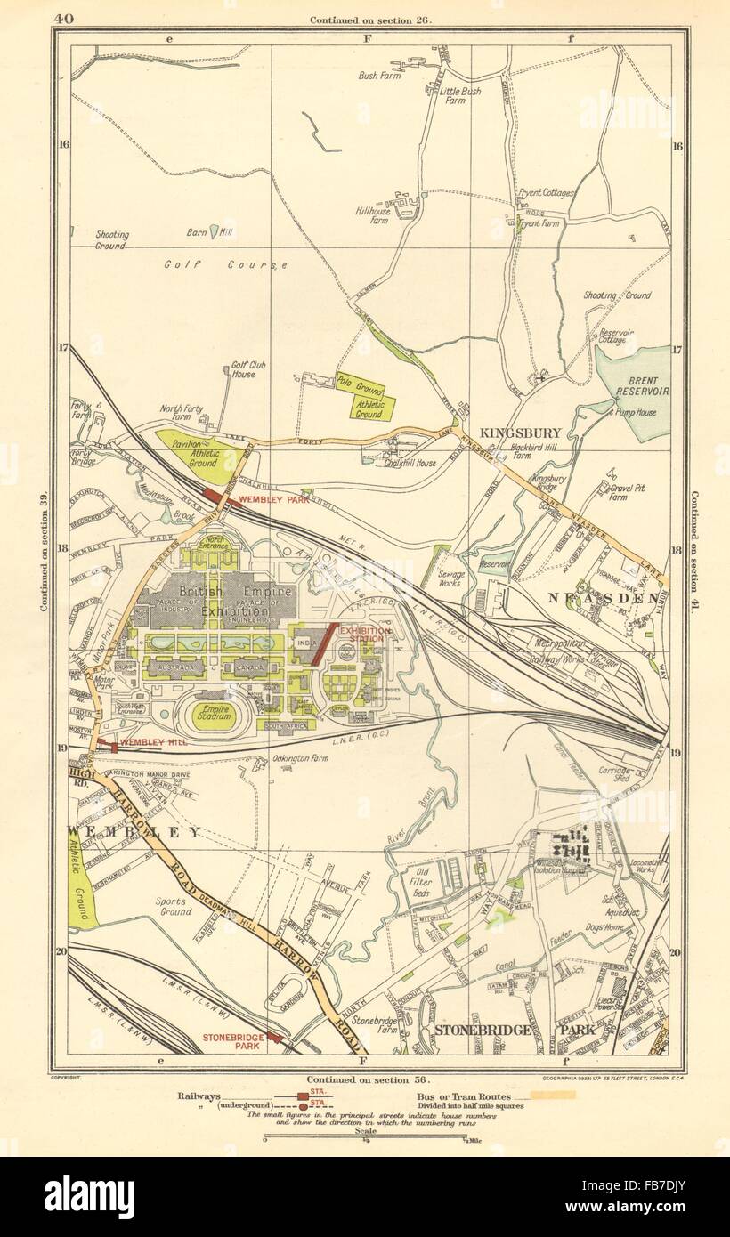 WEMBLEY: Kingsbury, Neasden, Church End, British Empire Exhibition, 1923 map Stock Photohttps://www.alamy.com/image-license-details/?v=1https://www.alamy.com/stock-photo-wembley-kingsbury-neasden-church-end-british-empire-exhibition-1923-92977443.html
RFFB7DJY–WEMBLEY: Kingsbury, Neasden, Church End, British Empire Exhibition, 1923 map
 A Taylor Swift, @allontheboard service information poster and a Swift themed London tube map at Wembley Park station, north west London, ahead of Taylor Swift's Era's Tour concert on Thursday. Picture date: Wednesday August 14, 2024. Stock Photohttps://www.alamy.com/image-license-details/?v=1https://www.alamy.com/a-taylor-swift-@allontheboard-service-information-poster-and-a-swift-themed-london-tube-map-at-wembley-park-station-north-west-london-ahead-of-taylor-swifts-eras-tour-concert-on-thursday-picture-date-wednesday-august-14-2024-image617391939.html
RM2XTCHM3–A Taylor Swift, @allontheboard service information poster and a Swift themed London tube map at Wembley Park station, north west London, ahead of Taylor Swift's Era's Tour concert on Thursday. Picture date: Wednesday August 14, 2024.
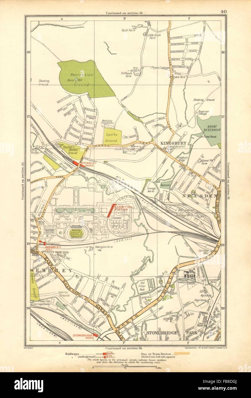 WEMBLEY: Kingsbury, Neasden, Church End, British Empire Exhibition, 1928 map Stock Photohttps://www.alamy.com/image-license-details/?v=1https://www.alamy.com/stock-photo-wembley-kingsbury-neasden-church-end-british-empire-exhibition-1928-92999330.html
RFFB8DGJ–WEMBLEY: Kingsbury, Neasden, Church End, British Empire Exhibition, 1928 map
 Euro Hotel Wembley, Greater London, GB, United Kingdom, England, N 51 33' 14'', S 0 17' 42'', map, Cartascapes Map published in 2024. Explore Cartascapes, a map revealing Earth's diverse landscapes, cultures, and ecosystems. Journey through time and space, discovering the interconnectedness of our planet's past, present, and future. Stock Photohttps://www.alamy.com/image-license-details/?v=1https://www.alamy.com/euro-hotel-wembley-greater-london-gb-united-kingdom-england-n-51-33-14-s-0-17-42-map-cartascapes-map-published-in-2024-explore-cartascapes-a-map-revealing-earths-diverse-landscapes-cultures-and-ecosystems-journey-through-time-and-space-discovering-the-interconnectedness-of-our-planets-past-present-and-future-image604214661.html
RM2X309Y1–Euro Hotel Wembley, Greater London, GB, United Kingdom, England, N 51 33' 14'', S 0 17' 42'', map, Cartascapes Map published in 2024. Explore Cartascapes, a map revealing Earth's diverse landscapes, cultures, and ecosystems. Journey through time and space, discovering the interconnectedness of our planet's past, present, and future.
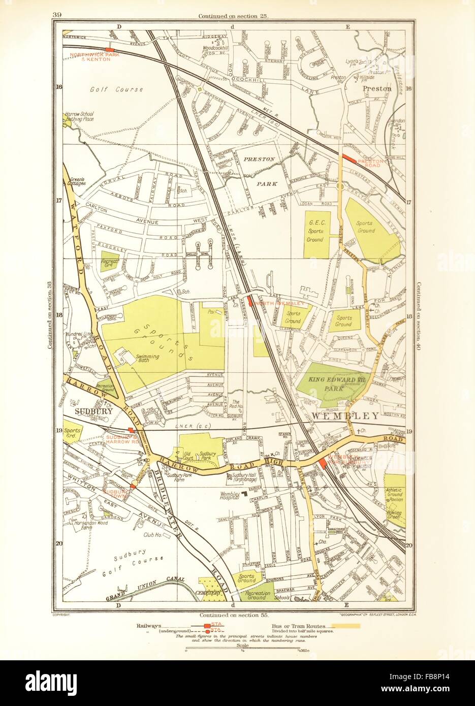 NORTH WEMBLEY. Preston Road, Sudbury, Northwick Park, Kenton, 1933 vintage map Stock Photohttps://www.alamy.com/image-license-details/?v=1https://www.alamy.com/stock-photo-north-wembley-preston-road-sudbury-northwick-park-kenton-1933-vintage-93005952.html
RFFB8P14–NORTH WEMBLEY. Preston Road, Sudbury, Northwick Park, Kenton, 1933 vintage map
 London, UK. 04th July, 2021. A large scale model showing off most of central London. including Wembley stadium.It's as much a thing to look at and point at for the public, as a sales and explanatory tool for architects and urban planners.The exhibition space is open Mon-Fri 8am-6pm and Sat-Sun 10am-6pm. It can be found on the upper floor of the Coal Drops Yard Credit: Paul Quezada-Neiman/Alamy Live News Stock Photohttps://www.alamy.com/image-license-details/?v=1https://www.alamy.com/london-uk-04th-july-2021-a-large-scale-model-showing-off-most-of-central-london-including-wembley-stadiumits-as-much-a-thing-to-look-at-and-point-at-for-the-public-as-a-sales-and-explanatory-tool-for-architects-and-urban-plannersthe-exhibition-space-is-open-mon-fri-8am-6pm-and-sat-sun-10am-6pm-it-can-be-found-on-the-upper-floor-of-the-coal-drops-yard-credit-paul-quezada-neimanalamy-live-news-image434148810.html
RM2G6956J–London, UK. 04th July, 2021. A large scale model showing off most of central London. including Wembley stadium.It's as much a thing to look at and point at for the public, as a sales and explanatory tool for architects and urban planners.The exhibition space is open Mon-Fri 8am-6pm and Sat-Sun 10am-6pm. It can be found on the upper floor of the Coal Drops Yard Credit: Paul Quezada-Neiman/Alamy Live News
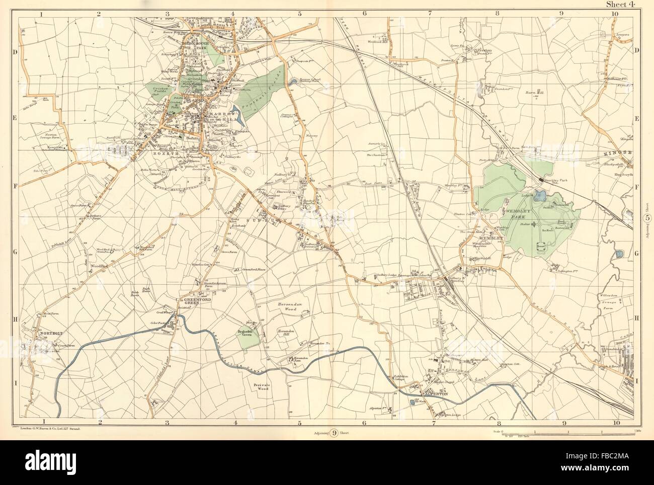 HARROW WEMBLEY BRENT Sudbury Greenford Northolt Kenton Alperton. BACON 1903 map Stock Photohttps://www.alamy.com/image-license-details/?v=1https://www.alamy.com/stock-photo-harrow-wembley-brent-sudbury-greenford-northolt-kenton-alperton-bacon-93078618.html
RFFBC2MA–HARROW WEMBLEY BRENT Sudbury Greenford Northolt Kenton Alperton. BACON 1903 map
 London, UK. 15 Aug 2024. A general view of the London Tube map redone with Taylor Swift songs at Wembley Stadium ahead of the singer's first show on the 2nd leg of her five night Wembley Stadium residency and is the first concert since her Vienna concerts were cancelled due to a terror threat. Credit: Justin Ng/Alamy Live News Stock Photohttps://www.alamy.com/image-license-details/?v=1https://www.alamy.com/london-uk-15-aug-2024-a-general-view-of-the-london-tube-map-redone-with-taylor-swift-songs-at-wembley-stadium-ahead-of-the-singers-first-show-on-the-2nd-leg-of-her-five-night-wembley-stadium-residency-and-is-the-first-concert-since-her-vienna-concerts-were-cancelled-due-to-a-terror-threat-credit-justin-ngalamy-live-news-image617544457.html
RM2XTKG75–London, UK. 15 Aug 2024. A general view of the London Tube map redone with Taylor Swift songs at Wembley Stadium ahead of the singer's first show on the 2nd leg of her five night Wembley Stadium residency and is the first concert since her Vienna concerts were cancelled due to a terror threat. Credit: Justin Ng/Alamy Live News
 HARROW WEMBLEY BRENT:Sudbury,Greenford,Northolt,Kenton,Alperton.BACON, 1902 map Stock Photohttps://www.alamy.com/image-license-details/?v=1https://www.alamy.com/stock-photo-harrow-wembley-brentsudburygreenfordnortholtkentonalpertonbacon-1902-92985012.html
RFFB7R98–HARROW WEMBLEY BRENT:Sudbury,Greenford,Northolt,Kenton,Alperton.BACON, 1902 map
 London Underground Station, Wembley Central, South Kenton, Harrow and Wealdstone Stock Photohttps://www.alamy.com/image-license-details/?v=1https://www.alamy.com/london-underground-station-wembley-central-south-kenton-harrow-and-wealdstone-image230422280.html
RFRATHY4–London Underground Station, Wembley Central, South Kenton, Harrow and Wealdstone
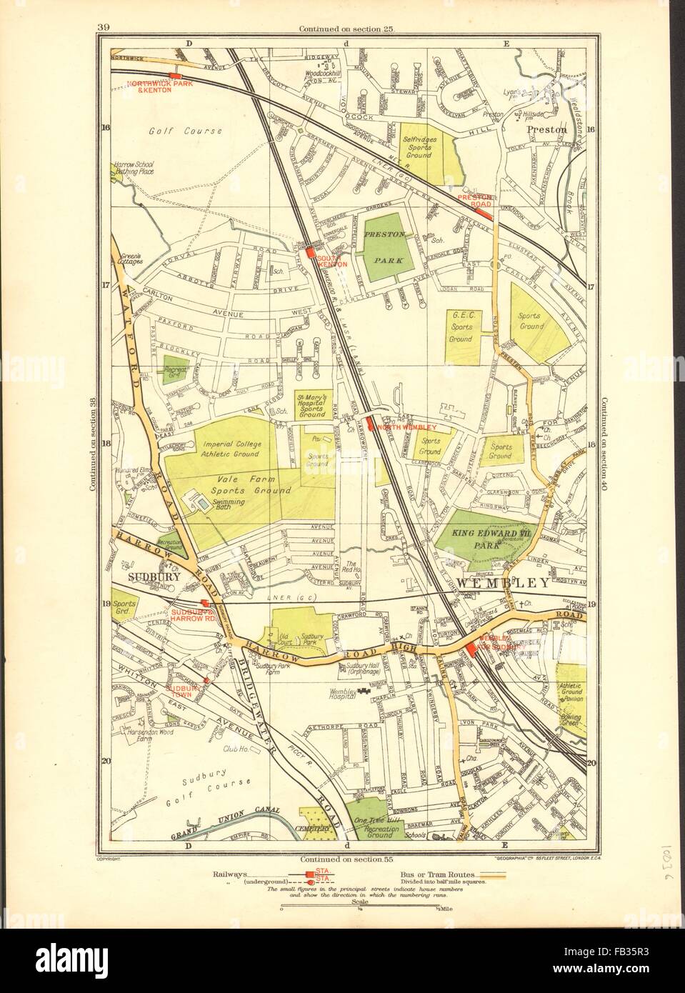 NORTH WEMBLEY: Preston Road, Sudbury, Northwick Park, Kenton, 1937 vintage map Stock Photohttps://www.alamy.com/image-license-details/?v=1https://www.alamy.com/stock-photo-north-wembley-preston-road-sudbury-northwick-park-kenton-1937-vintage-92883479.html
RFFB35R3–NORTH WEMBLEY: Preston Road, Sudbury, Northwick Park, Kenton, 1937 vintage map
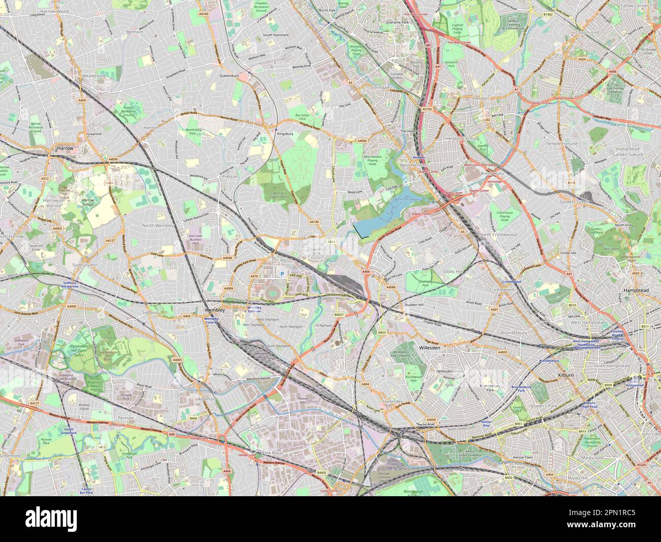 London Borough of Brent, london borough of England - Great Britain. Open Street Map Stock Photohttps://www.alamy.com/image-license-details/?v=1https://www.alamy.com/london-borough-of-brent-london-borough-of-england-great-britain-open-street-map-image546469509.html
RF2PN1RC5–London Borough of Brent, london borough of England - Great Britain. Open Street Map
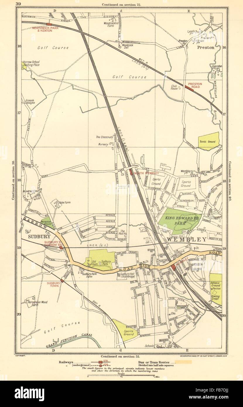 NORTH WEMBLEY: Preston Road, Sudbury, Northwick Park, Kenton, 1923 vintage map Stock Photohttps://www.alamy.com/image-license-details/?v=1https://www.alamy.com/stock-photo-north-wembley-preston-road-sudbury-northwick-park-kenton-1923-vintage-92977434.html
RFFB7DJJ–NORTH WEMBLEY: Preston Road, Sudbury, Northwick Park, Kenton, 1923 vintage map
 Interior - Government Pavilion - British Empire Exhibition Stock Photohttps://www.alamy.com/image-license-details/?v=1https://www.alamy.com/interior-government-pavilion-british-empire-exhibition-image235065654.html
RMRJC4HX–Interior - Government Pavilion - British Empire Exhibition
 NORTH WEMBLEY: Preston Road, Sudbury, Northwick Park, Kenton, 1928 vintage map Stock Photohttps://www.alamy.com/image-license-details/?v=1https://www.alamy.com/stock-photo-north-wembley-preston-road-sudbury-northwick-park-kenton-1928-vintage-92999326.html
RFFB8DGE–NORTH WEMBLEY: Preston Road, Sudbury, Northwick Park, Kenton, 1928 vintage map
 Very shallow focus of a green push pin located in the famous North London area of Wembley. Stock Photohttps://www.alamy.com/image-license-details/?v=1https://www.alamy.com/very-shallow-focus-of-a-green-push-pin-located-in-the-famous-north-london-area-of-wembley-image364885724.html
RF2C5HYD0–Very shallow focus of a green push pin located in the famous North London area of Wembley.
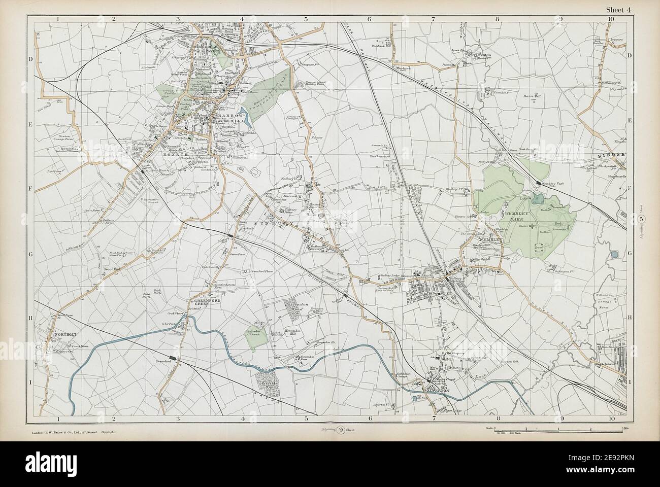 HARROW WEMBLEY BRENT Sudbury Greenford Northolt Kenton Alperton. BACON 1906 map Stock Photohttps://www.alamy.com/image-license-details/?v=1https://www.alamy.com/harrow-wembley-brent-sudbury-greenford-northolt-kenton-alperton-bacon-1906-map-image401432073.html
RF2E92PKN–HARROW WEMBLEY BRENT Sudbury Greenford Northolt Kenton Alperton. BACON 1906 map
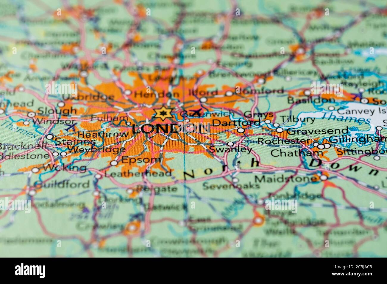 Shallow focus view of the heart of England's capital city. Details of the extensive road network can be seen of Greater London. Stock Photohttps://www.alamy.com/image-license-details/?v=1https://www.alamy.com/shallow-focus-view-of-the-heart-of-englands-capital-city-details-of-the-extensive-road-network-can-be-seen-of-greater-london-image364894325.html
RF2C5JAC5–Shallow focus view of the heart of England's capital city. Details of the extensive road network can be seen of Greater London.
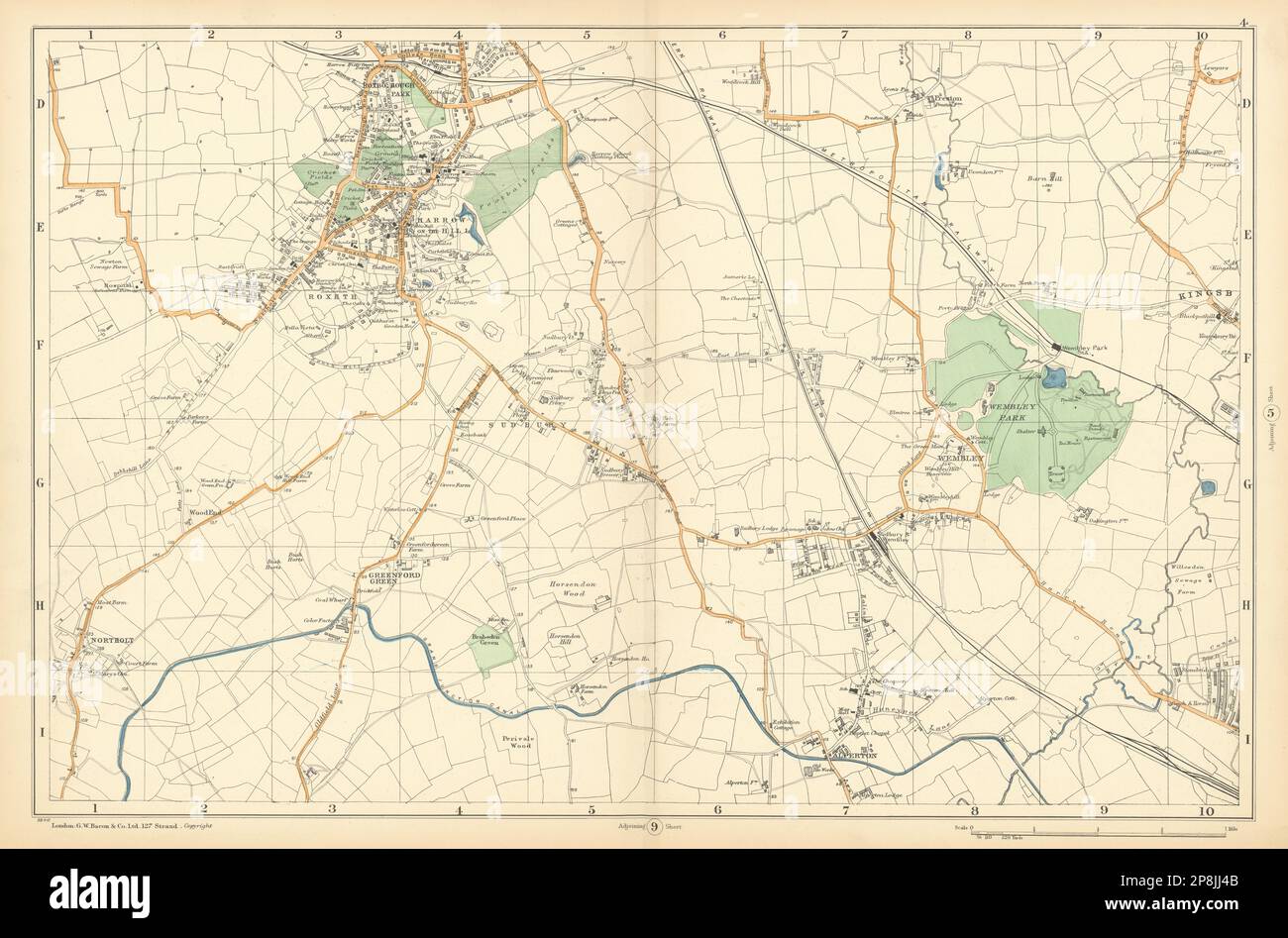 HARROW WEMBLEY BRENT Sudbury Greenford Northolt Kenton Alperton. BACON 1900 map Stock Photohttps://www.alamy.com/image-license-details/?v=1https://www.alamy.com/harrow-wembley-brent-sudbury-greenford-northolt-kenton-alperton-bacon-1900-map-image538848027.html
RF2P8JJ4B–HARROW WEMBLEY BRENT Sudbury Greenford Northolt Kenton Alperton. BACON 1900 map
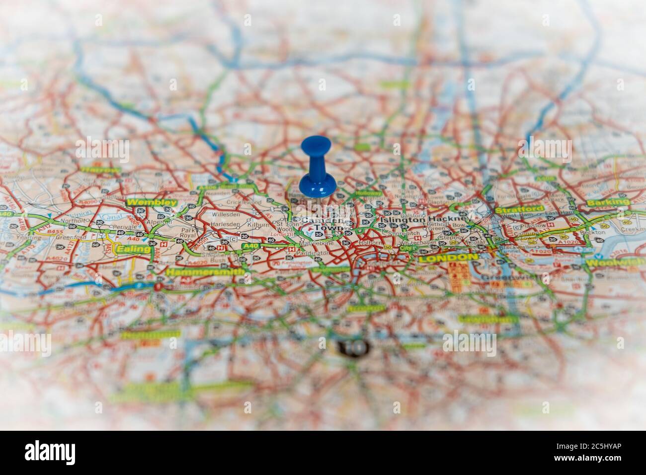 Shallow focus view of a blue push pin seen located in the heart of England's capital city. Stock Photohttps://www.alamy.com/image-license-details/?v=1https://www.alamy.com/shallow-focus-view-of-a-blue-push-pin-seen-located-in-the-heart-of-englands-capital-city-image364885662.html
RF2C5HYAP–Shallow focus view of a blue push pin seen located in the heart of England's capital city.
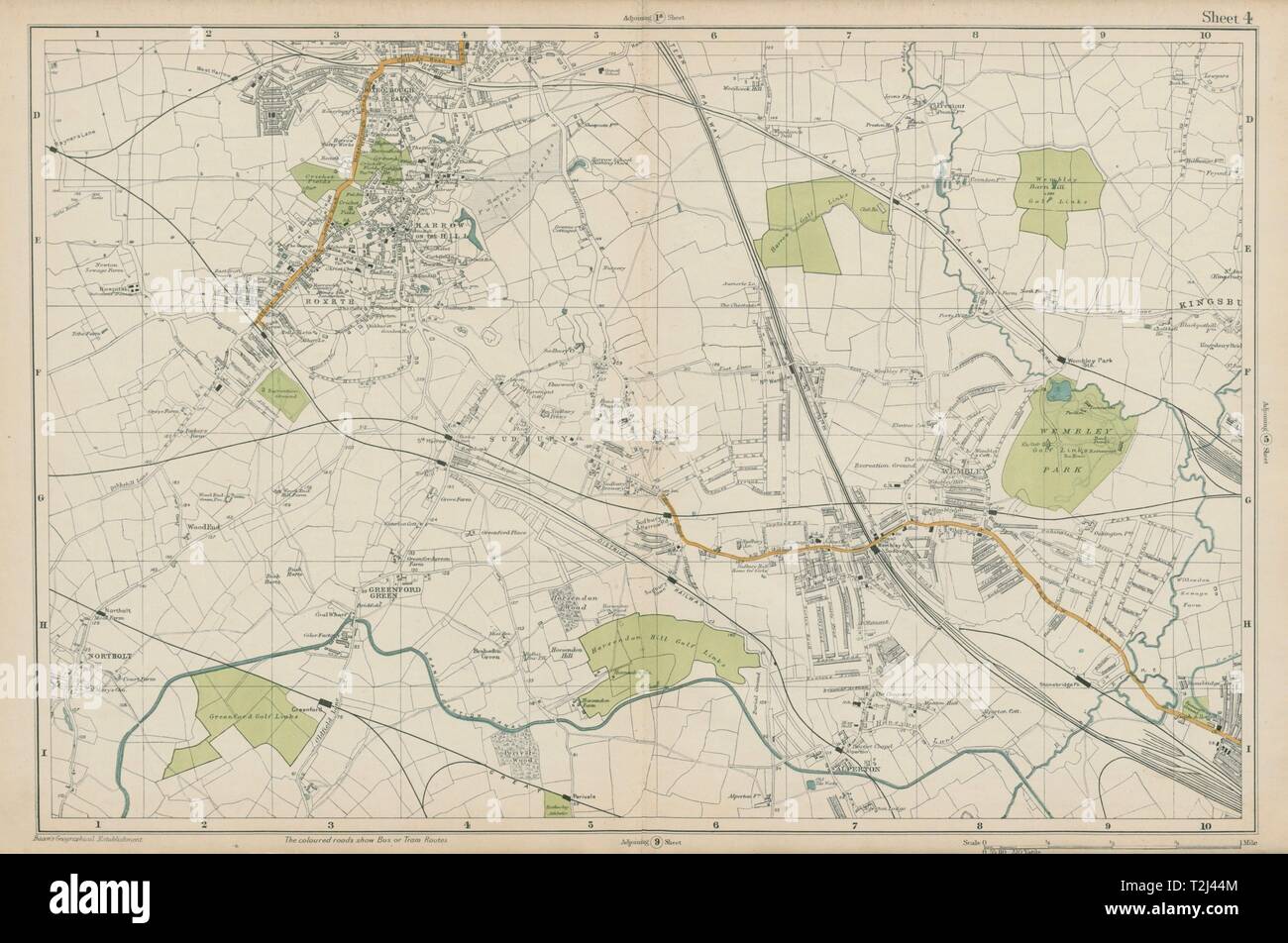 HARROW WEMBLEY BRENT Sudbury Greenford Northolt Kenton Alperton. BACON 1919 map Stock Photohttps://www.alamy.com/image-license-details/?v=1https://www.alamy.com/harrow-wembley-brent-sudbury-greenford-northolt-kenton-alperton-bacon-1919-map-image242572868.html
RFT2J44M–HARROW WEMBLEY BRENT Sudbury Greenford Northolt Kenton Alperton. BACON 1919 map
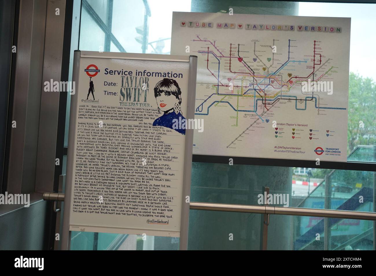 A Taylor Swift, @allontheboard service information poster and a Swift themed London tube map at Wembley Park station, north west London, ahead of Taylor Swift's Era's Tour concert on Thursday. Picture date: Wednesday August 14, 2024. Stock Photohttps://www.alamy.com/image-license-details/?v=1https://www.alamy.com/a-taylor-swift-@allontheboard-service-information-poster-and-a-swift-themed-london-tube-map-at-wembley-park-station-north-west-london-ahead-of-taylor-swifts-eras-tour-concert-on-thursday-picture-date-wednesday-august-14-2024-image617391940.html
RM2XTCHM4–A Taylor Swift, @allontheboard service information poster and a Swift themed London tube map at Wembley Park station, north west London, ahead of Taylor Swift's Era's Tour concert on Thursday. Picture date: Wednesday August 14, 2024.
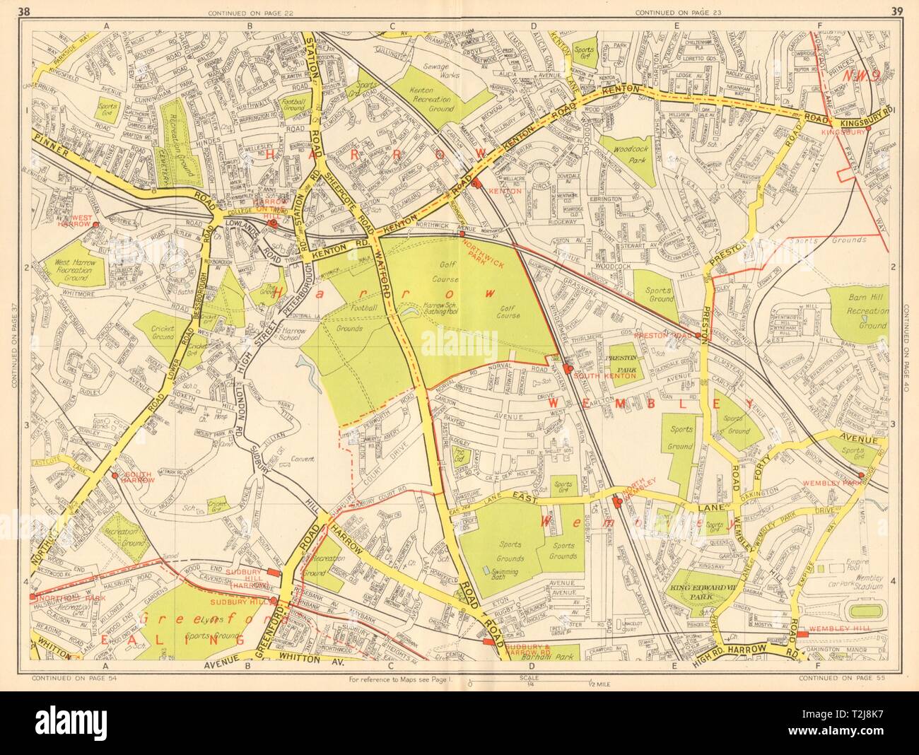 HARROW WEMBLEY Greenford Kenton Sudbury Hill. GEOGRAPHERS' A-Z 1948 old map Stock Photohttps://www.alamy.com/image-license-details/?v=1https://www.alamy.com/harrow-wembley-greenford-kenton-sudbury-hill-geographers-a-z-1948-old-map-image242576411.html
RFT2J8K7–HARROW WEMBLEY Greenford Kenton Sudbury Hill. GEOGRAPHERS' A-Z 1948 old map
 IBIS LONDON WEMBLEY, Greater London, GB, United Kingdom, England, N 51 33' 17'', S 0 16' 53'', map, Cartascapes Map published in 2024. Explore Cartascapes, a map revealing Earth's diverse landscapes, cultures, and ecosystems. Journey through time and space, discovering the interconnectedness of our planet's past, present, and future. Stock Photohttps://www.alamy.com/image-license-details/?v=1https://www.alamy.com/ibis-london-wembley-greater-london-gb-united-kingdom-england-n-51-33-17-s-0-16-53-map-cartascapes-map-published-in-2024-explore-cartascapes-a-map-revealing-earths-diverse-landscapes-cultures-and-ecosystems-journey-through-time-and-space-discovering-the-interconnectedness-of-our-planets-past-present-and-future-image604206046.html
RM2X2YXYA–IBIS LONDON WEMBLEY, Greater London, GB, United Kingdom, England, N 51 33' 17'', S 0 16' 53'', map, Cartascapes Map published in 2024. Explore Cartascapes, a map revealing Earth's diverse landscapes, cultures, and ecosystems. Journey through time and space, discovering the interconnectedness of our planet's past, present, and future.
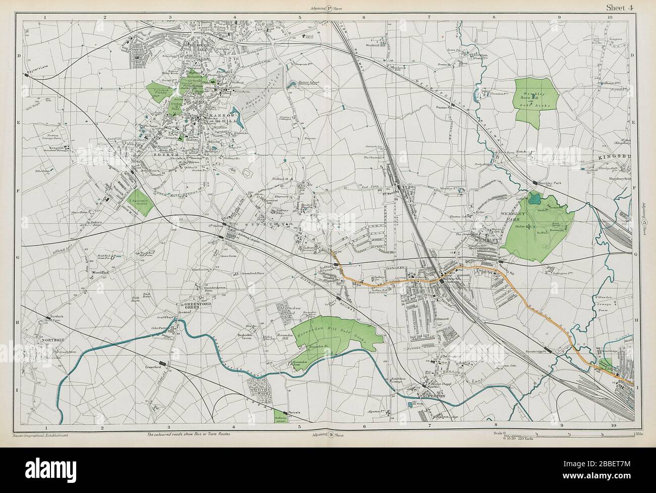 HARROW WEMBLEY BRENT Sudbury Greenford Northolt Kenton Alperton. BACON 1913 map Stock Photohttps://www.alamy.com/image-license-details/?v=1https://www.alamy.com/harrow-wembley-brent-sudbury-greenford-northolt-kenton-alperton-bacon-1913-map-image351294936.html
RF2BBET7M–HARROW WEMBLEY BRENT Sudbury Greenford Northolt Kenton Alperton. BACON 1913 map
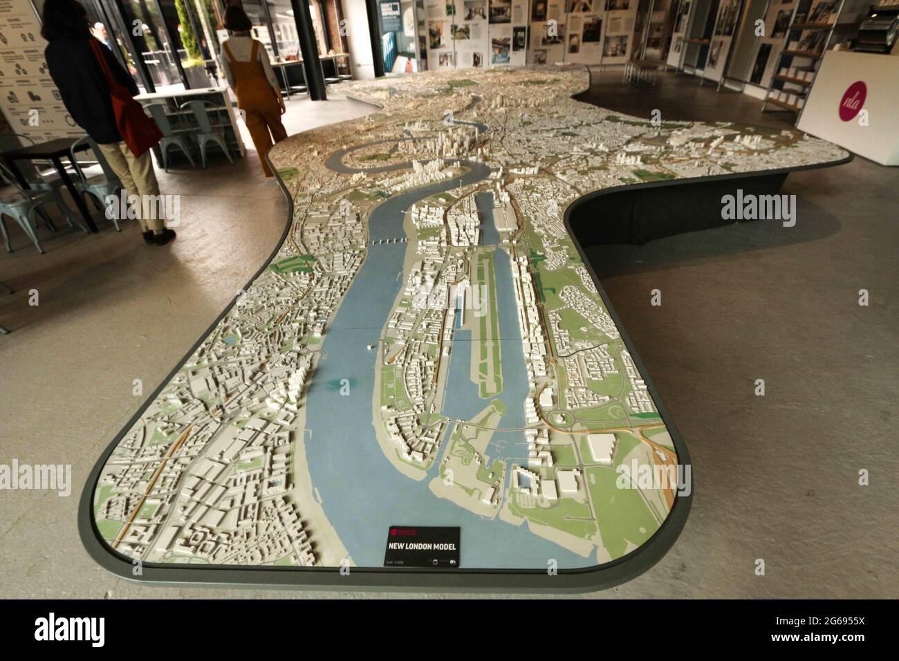 London, UK. 04th July, 2021. A large scale model showing off most of central London. including Wembley stadium.It's as much a thing to look at and point at for the public, as a sales and explanatory tool for architects and urban planners.The exhibition space is open Mon-Fri 8am-6pm and Sat-Sun 10am-6pm. It can be found on the upper floor of the Coal Drops Yard Credit: Paul Quezada-Neiman/Alamy Live News Stock Photohttps://www.alamy.com/image-license-details/?v=1https://www.alamy.com/london-uk-04th-july-2021-a-large-scale-model-showing-off-most-of-central-london-including-wembley-stadiumits-as-much-a-thing-to-look-at-and-point-at-for-the-public-as-a-sales-and-explanatory-tool-for-architects-and-urban-plannersthe-exhibition-space-is-open-mon-fri-8am-6pm-and-sat-sun-10am-6pm-it-can-be-found-on-the-upper-floor-of-the-coal-drops-yard-credit-paul-quezada-neimanalamy-live-news-image434148790.html
RM2G6955X–London, UK. 04th July, 2021. A large scale model showing off most of central London. including Wembley stadium.It's as much a thing to look at and point at for the public, as a sales and explanatory tool for architects and urban planners.The exhibition space is open Mon-Fri 8am-6pm and Sat-Sun 10am-6pm. It can be found on the upper floor of the Coal Drops Yard Credit: Paul Quezada-Neiman/Alamy Live News
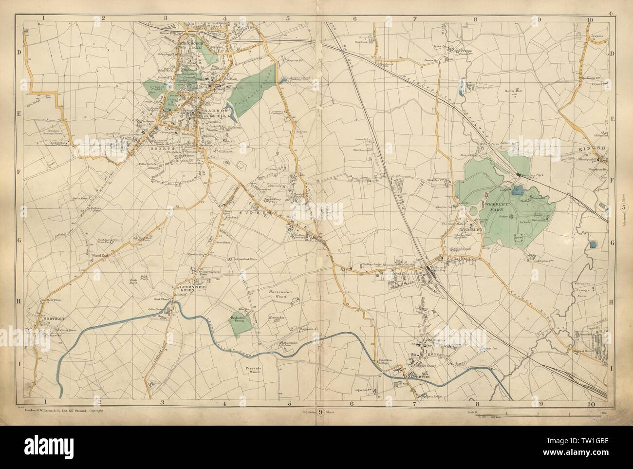 HARROW WEMBLEY BRENT Sudbury Greenford Kenton Northolt Alperton BACON 1900 map Stock Photohttps://www.alamy.com/image-license-details/?v=1https://www.alamy.com/harrow-wembley-brent-sudbury-greenford-kenton-northolt-alperton-bacon-1900-map-image256346370.html
RFTW1GBE–HARROW WEMBLEY BRENT Sudbury Greenford Kenton Northolt Alperton BACON 1900 map
 London, UK. 15 Aug 2024. A general view of the London Tube map redone with Taylor Swift songs at Wembley Stadium ahead of the singer's first show on the 2nd leg of her five night Wembley Stadium residency and is the first concert since her Vienna concerts were cancelled due to a terror threat. Credit: Justin Ng/Alamy Live News Stock Photohttps://www.alamy.com/image-license-details/?v=1https://www.alamy.com/london-uk-15-aug-2024-a-general-view-of-the-london-tube-map-redone-with-taylor-swift-songs-at-wembley-stadium-ahead-of-the-singers-first-show-on-the-2nd-leg-of-her-five-night-wembley-stadium-residency-and-is-the-first-concert-since-her-vienna-concerts-were-cancelled-due-to-a-terror-threat-credit-justin-ngalamy-live-news-image617544376.html
RM2XTKG48–London, UK. 15 Aug 2024. A general view of the London Tube map redone with Taylor Swift songs at Wembley Stadium ahead of the singer's first show on the 2nd leg of her five night Wembley Stadium residency and is the first concert since her Vienna concerts were cancelled due to a terror threat. Credit: Justin Ng/Alamy Live News
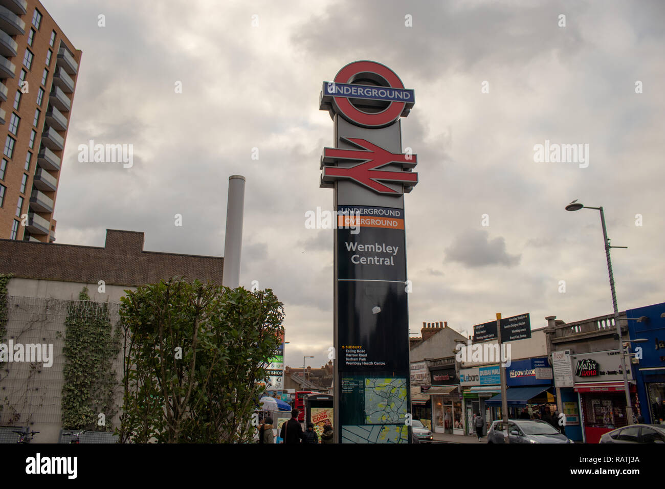 London Underground Station, Wembley Central, South Kenton, Harrow and Wealdstone Stock Photohttps://www.alamy.com/image-license-details/?v=1https://www.alamy.com/london-underground-station-wembley-central-south-kenton-harrow-and-wealdstone-image230422398.html
RFRATJ3A–London Underground Station, Wembley Central, South Kenton, Harrow and Wealdstone
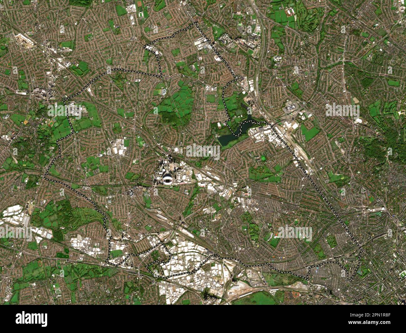 London Borough of Brent, london borough of England - Great Britain. Low resolution satellite map Stock Photohttps://www.alamy.com/image-license-details/?v=1https://www.alamy.com/london-borough-of-brent-london-borough-of-england-great-britain-low-resolution-satellite-map-image546469407.html
RF2PN1R8F–London Borough of Brent, london borough of England - Great Britain. Low resolution satellite map
 Shallow focus view of a blue push pin seen located in the heart of England's capital city. Stock Photohttps://www.alamy.com/image-license-details/?v=1https://www.alamy.com/shallow-focus-view-of-a-blue-push-pin-seen-located-in-the-heart-of-englands-capital-city-image364885679.html
RF2C5HYBB–Shallow focus view of a blue push pin seen located in the heart of England's capital city.
 People take photographs of a Taylor Swift service information poster and A Swift themed London tube map at Wembley Park station, north west London, ahead of Taylor Swift's Era's Tour concert on Thursday. Picture date: Wednesday August 14, 2024. Stock Photohttps://www.alamy.com/image-license-details/?v=1https://www.alamy.com/people-take-photographs-of-a-taylor-swift-service-information-poster-and-a-swift-themed-london-tube-map-at-wembley-park-station-north-west-london-ahead-of-taylor-swifts-eras-tour-concert-on-thursday-picture-date-wednesday-august-14-2024-image617391373.html
RM2XTCGYW–People take photographs of a Taylor Swift service information poster and A Swift themed London tube map at Wembley Park station, north west London, ahead of Taylor Swift's Era's Tour concert on Thursday. Picture date: Wednesday August 14, 2024.
 Ibis Wembley, Greater London, GB, United Kingdom, England, N 51 33' 19'', S 0 17' 8'', map, Cartascapes Map published in 2024. Explore Cartascapes, a map revealing Earth's diverse landscapes, cultures, and ecosystems. Journey through time and space, discovering the interconnectedness of our planet's past, present, and future. Stock Photohttps://www.alamy.com/image-license-details/?v=1https://www.alamy.com/ibis-wembley-greater-london-gb-united-kingdom-england-n-51-33-19-s-0-17-8-map-cartascapes-map-published-in-2024-explore-cartascapes-a-map-revealing-earths-diverse-landscapes-cultures-and-ecosystems-journey-through-time-and-space-discovering-the-interconnectedness-of-our-planets-past-present-and-future-image604204189.html
RM2X2YTH1–Ibis Wembley, Greater London, GB, United Kingdom, England, N 51 33' 19'', S 0 17' 8'', map, Cartascapes Map published in 2024. Explore Cartascapes, a map revealing Earth's diverse landscapes, cultures, and ecosystems. Journey through time and space, discovering the interconnectedness of our planet's past, present, and future.
 London, UK. 04th July, 2021. A large scale model showing off most of central London. including Wembley stadium.It's as much a thing to look at and point at for the public, as a sales and explanatory tool for architects and urban planners.The exhibition space is open Mon-Fri 8am-6pm and Sat-Sun 10am-6pm. It can be found on the upper floor of the Coal Drops Yard Credit: Paul Quezada-Neiman/Alamy Live News Stock Photohttps://www.alamy.com/image-license-details/?v=1https://www.alamy.com/london-uk-04th-july-2021-a-large-scale-model-showing-off-most-of-central-london-including-wembley-stadiumits-as-much-a-thing-to-look-at-and-point-at-for-the-public-as-a-sales-and-explanatory-tool-for-architects-and-urban-plannersthe-exhibition-space-is-open-mon-fri-8am-6pm-and-sat-sun-10am-6pm-it-can-be-found-on-the-upper-floor-of-the-coal-drops-yard-credit-paul-quezada-neimanalamy-live-news-image434148802.html
RM2G6956A–London, UK. 04th July, 2021. A large scale model showing off most of central London. including Wembley stadium.It's as much a thing to look at and point at for the public, as a sales and explanatory tool for architects and urban planners.The exhibition space is open Mon-Fri 8am-6pm and Sat-Sun 10am-6pm. It can be found on the upper floor of the Coal Drops Yard Credit: Paul Quezada-Neiman/Alamy Live News
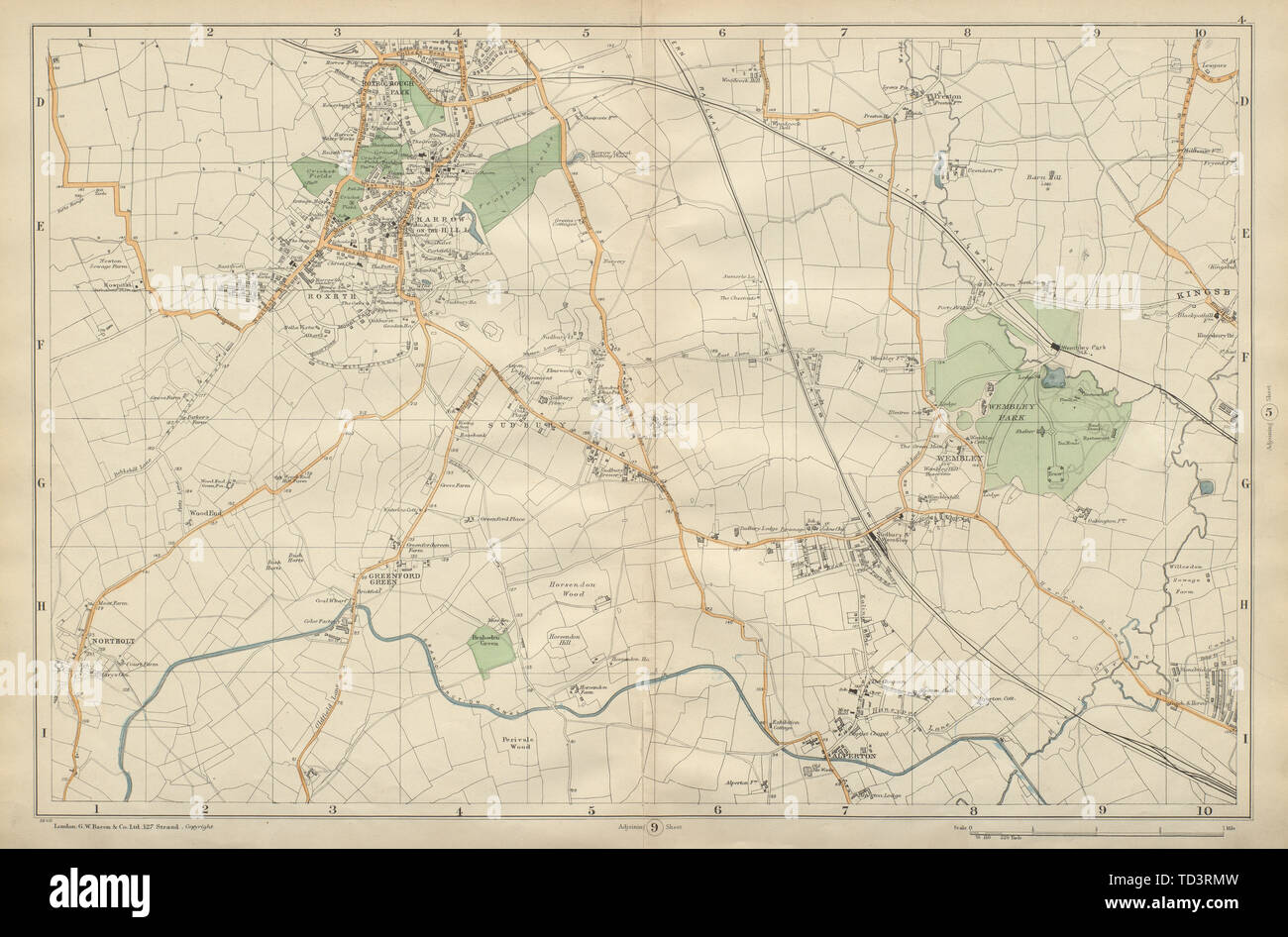 HARROW WEMBLEY BRENT Sudbury Greenford Northolt Kenton Alperton BACON 1900 map Stock Photohttps://www.alamy.com/image-license-details/?v=1https://www.alamy.com/harrow-wembley-brent-sudbury-greenford-northolt-kenton-alperton-bacon-1900-map-image249020153.html
RFTD3RMW–HARROW WEMBLEY BRENT Sudbury Greenford Northolt Kenton Alperton BACON 1900 map
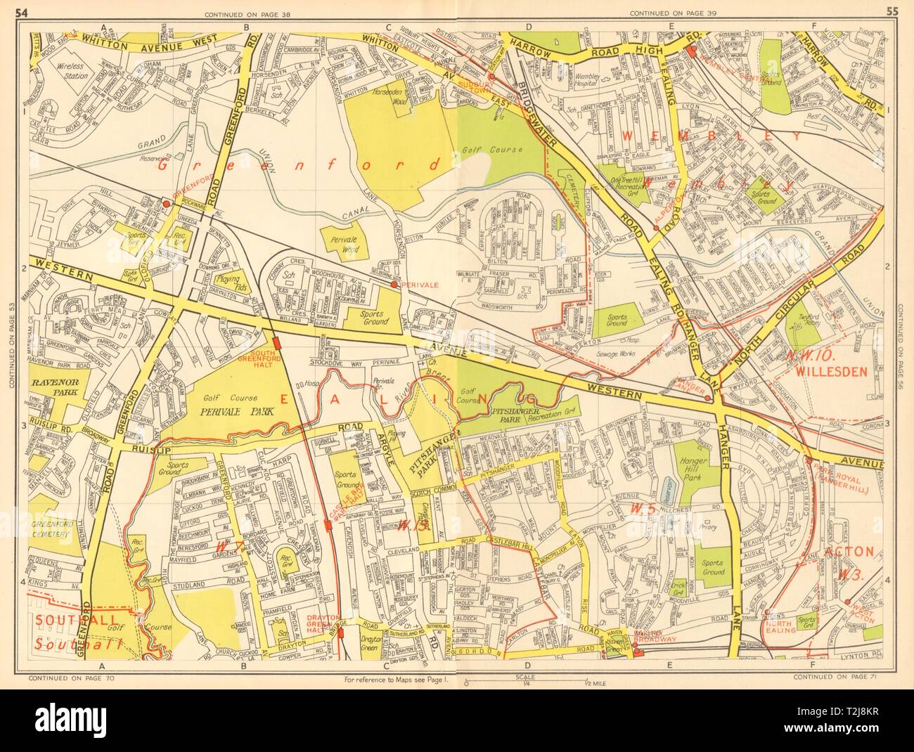 EALING Wembley Greenford Perivale Sudbury Castle Bar. GEOGRAPHERS' A-Z 1948 map Stock Photohttps://www.alamy.com/image-license-details/?v=1https://www.alamy.com/ealing-wembley-greenford-perivale-sudbury-castle-bar-geographers-a-z-1948-map-image242576427.html
RFT2J8KR–EALING Wembley Greenford Perivale Sudbury Castle Bar. GEOGRAPHERS' A-Z 1948 map
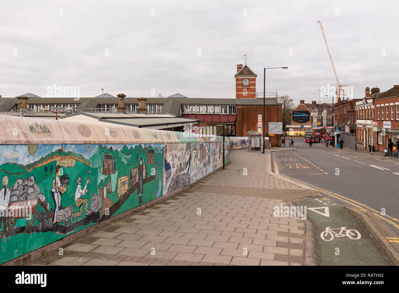 London Underground Station, Wembley Central, South Kenton, Harrow and Wealdstone Stock Photohttps://www.alamy.com/image-license-details/?v=1https://www.alamy.com/london-underground-station-wembley-central-south-kenton-harrow-and-wealdstone-image230422250.html
RFRATHX2–London Underground Station, Wembley Central, South Kenton, Harrow and Wealdstone
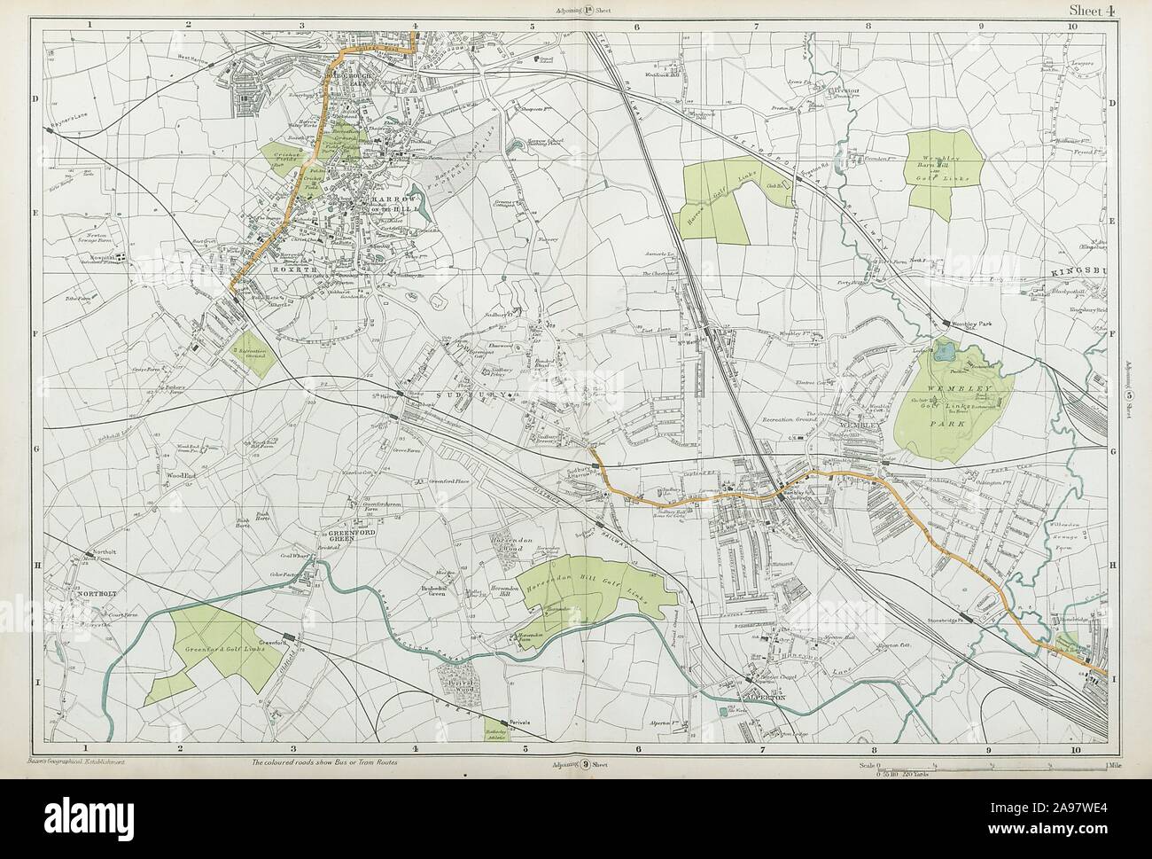 HARROW WEMBLEY BRENT Sudbury Greenford Northolt Kenton Alperton. BACON 1920 map Stock Photohttps://www.alamy.com/image-license-details/?v=1https://www.alamy.com/harrow-wembley-brent-sudbury-greenford-northolt-kenton-alperton-bacon-1920-map-image332702556.html
RF2A97WE4–HARROW WEMBLEY BRENT Sudbury Greenford Northolt Kenton Alperton. BACON 1920 map
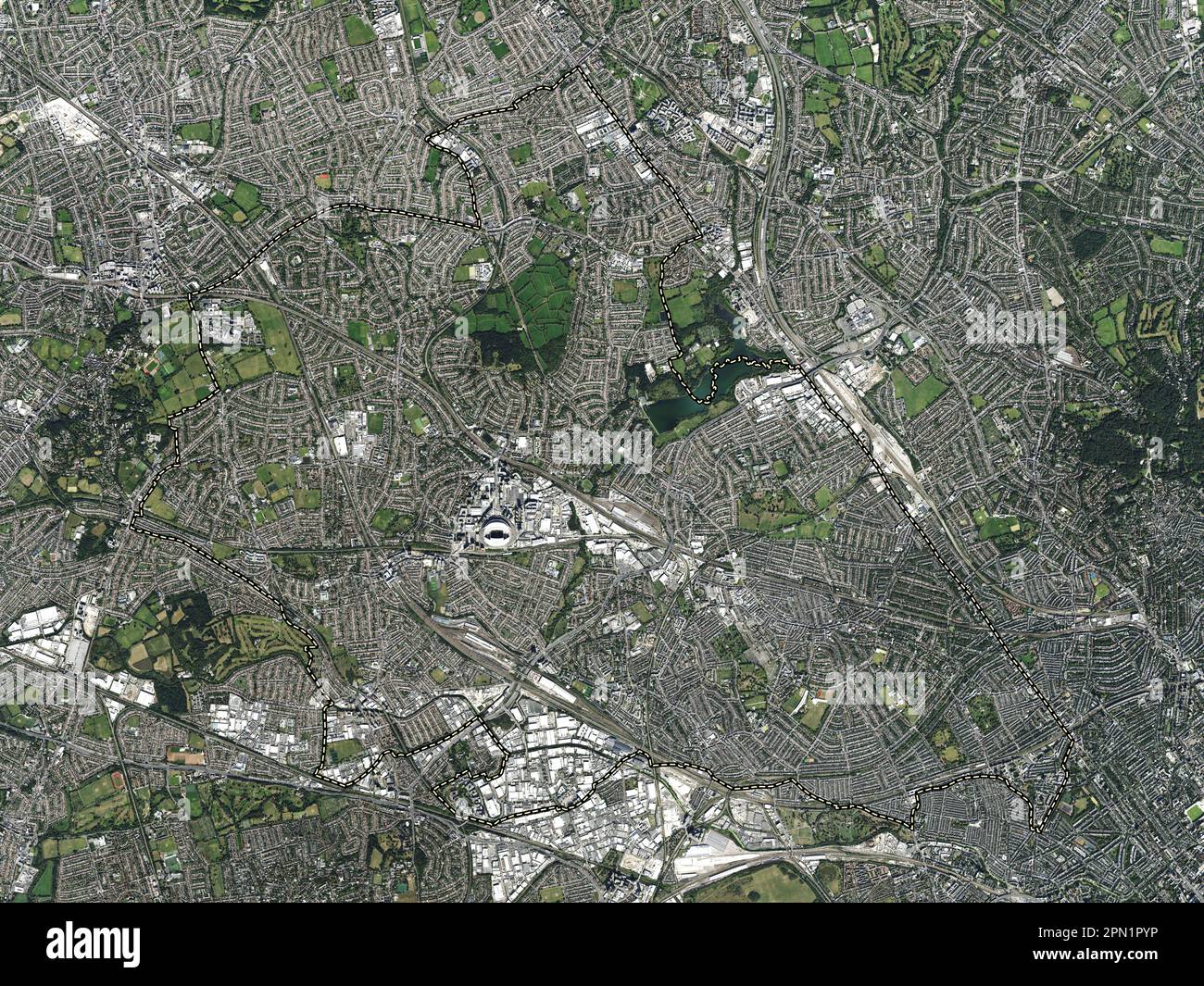 London Borough of Brent, london borough of England - Great Britain. High resolution satellite map Stock Photohttps://www.alamy.com/image-license-details/?v=1https://www.alamy.com/london-borough-of-brent-london-borough-of-england-great-britain-high-resolution-satellite-map-image546469162.html
RF2PN1PYP–London Borough of Brent, london borough of England - Great Britain. High resolution satellite map
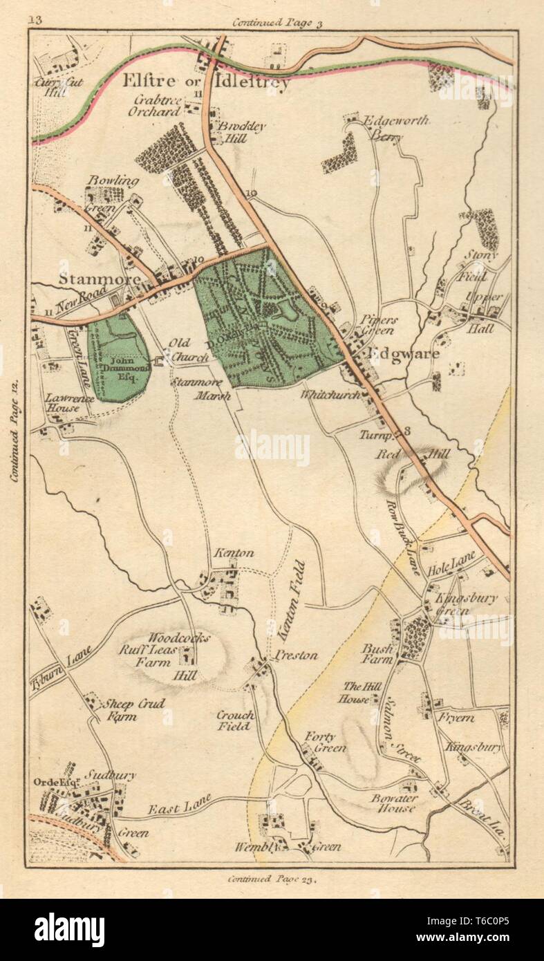 BRENT. Stanmore,Elstree,Edgware,Kenton,Wembley,Colindale,Kingsbury 1811 map Stock Photohttps://www.alamy.com/image-license-details/?v=1https://www.alamy.com/brent-stanmoreelstreeedgwarekentonwembleycolindalekingsbury-1811-map-image244897133.html
RFT6C0P5–BRENT. Stanmore,Elstree,Edgware,Kenton,Wembley,Colindale,Kingsbury 1811 map
 BRENT: Stanmore,Elstree,Edgware,Kenton,Wembley,Colindale,Kingsbury, 1786 map Stock Photohttps://www.alamy.com/image-license-details/?v=1https://www.alamy.com/stock-photo-brent-stanmoreelstreeedgwarekentonwembleycolindalekingsbury-1786-map-102709365.html
RFFY2PRH–BRENT: Stanmore,Elstree,Edgware,Kenton,Wembley,Colindale,Kingsbury, 1786 map
 NORTH/WEST LONDON. Hampstead Harrow Ealing Tottenham Barnet. WELLER, 1863 map Stock Photohttps://www.alamy.com/image-license-details/?v=1https://www.alamy.com/stock-photo-northwest-london-hampstead-harrow-ealing-tottenham-barnet-weller-1863-115578485.html
RFGM11F1–NORTH/WEST LONDON. Hampstead Harrow Ealing Tottenham Barnet. WELLER, 1863 map
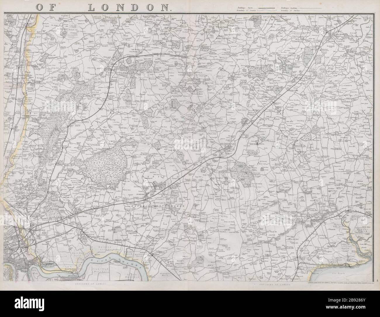 NE LONDON Essex Epping Forest Chelmsford Thames Estuary. WELLER 1868 old map Stock Photohttps://www.alamy.com/image-license-details/?v=1https://www.alamy.com/ne-london-essex-epping-forest-chelmsford-thames-estuary-weller-1868-old-map-image349789635.html
RF2B9286Y–NE LONDON Essex Epping Forest Chelmsford Thames Estuary. WELLER 1868 old map
 Shallow focus view of a blue push pin seen located in the heart of England's capital city. Stock Photohttps://www.alamy.com/image-license-details/?v=1https://www.alamy.com/shallow-focus-view-of-a-blue-push-pin-seen-located-in-the-heart-of-englands-capital-city-image364885671.html
RF2C5HYB3–Shallow focus view of a blue push pin seen located in the heart of England's capital city.
 BRENT Stanmore Elstree Edgware Kenton Wembley Colindale Kingsbury CARY 1786 map Stock Photohttps://www.alamy.com/image-license-details/?v=1https://www.alamy.com/stock-photo-brent-stanmore-elstree-edgware-kenton-wembley-colindale-kingsbury-139061865.html
RFJ26PR5–BRENT Stanmore Elstree Edgware Kenton Wembley Colindale Kingsbury CARY 1786 map
 People take photographs of a Taylor Swift, @allontheboard service information poster and a Swift themed London tube map at Wembley Park station, north west London, ahead of Taylor Swift's Era's Tour concert on Thursday. Picture date: Wednesday August 14, 2024. Stock Photohttps://www.alamy.com/image-license-details/?v=1https://www.alamy.com/people-take-photographs-of-a-taylor-swift-@allontheboard-service-information-poster-and-a-swift-themed-london-tube-map-at-wembley-park-station-north-west-london-ahead-of-taylor-swifts-eras-tour-concert-on-thursday-picture-date-wednesday-august-14-2024-image617391942.html
RM2XTCHM6–People take photographs of a Taylor Swift, @allontheboard service information poster and a Swift themed London tube map at Wembley Park station, north west London, ahead of Taylor Swift's Era's Tour concert on Thursday. Picture date: Wednesday August 14, 2024.
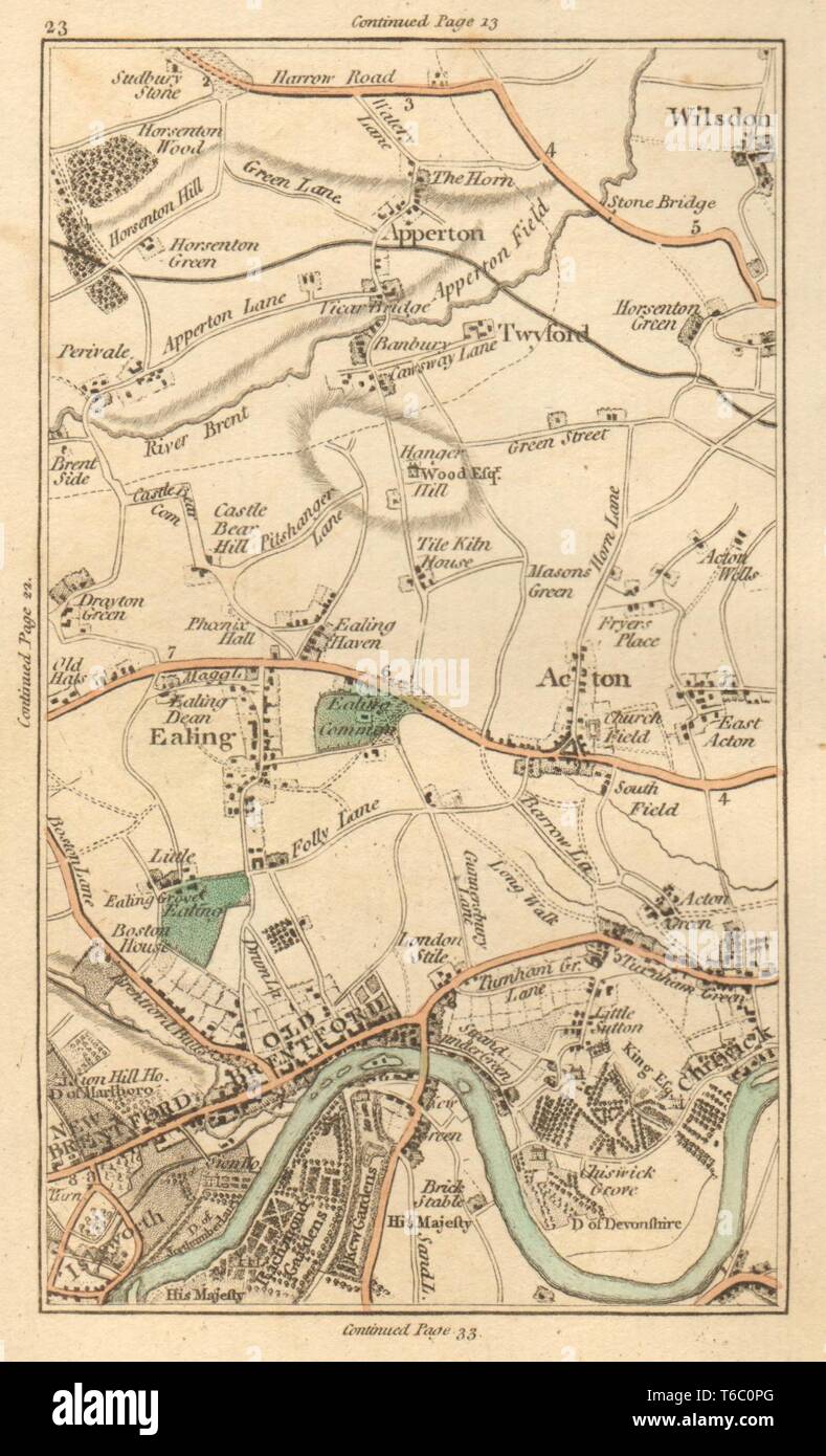 EALING. Brentford, Chiswick, Acton, Kew, Willesden, Wembley, Brent 1811 map Stock Photohttps://www.alamy.com/image-license-details/?v=1https://www.alamy.com/ealing-brentford-chiswick-acton-kew-willesden-wembley-brent-1811-map-image244897144.html
RFT6C0PG–EALING. Brentford, Chiswick, Acton, Kew, Willesden, Wembley, Brent 1811 map
 Wembley Plaza, Greater London, GB, United Kingdom, England, N 51 33' 31'', S 0 17' 5'', map, Cartascapes Map published in 2024. Explore Cartascapes, a map revealing Earth's diverse landscapes, cultures, and ecosystems. Journey through time and space, discovering the interconnectedness of our planet's past, present, and future. Stock Photohttps://www.alamy.com/image-license-details/?v=1https://www.alamy.com/wembley-plaza-greater-london-gb-united-kingdom-england-n-51-33-31-s-0-17-5-map-cartascapes-map-published-in-2024-explore-cartascapes-a-map-revealing-earths-diverse-landscapes-cultures-and-ecosystems-journey-through-time-and-space-discovering-the-interconnectedness-of-our-planets-past-present-and-future-image604214939.html
RM2X30A8Y–Wembley Plaza, Greater London, GB, United Kingdom, England, N 51 33' 31'', S 0 17' 5'', map, Cartascapes Map published in 2024. Explore Cartascapes, a map revealing Earth's diverse landscapes, cultures, and ecosystems. Journey through time and space, discovering the interconnectedness of our planet's past, present, and future.
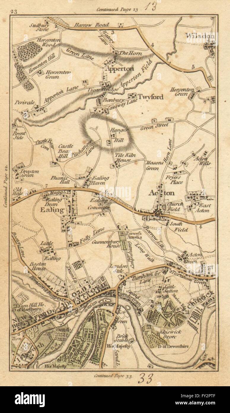 EALING: Brentford, Chiswick, Acton, Kew, Willesden, Wembley, Brent, 1786 map Stock Photohttps://www.alamy.com/image-license-details/?v=1https://www.alamy.com/stock-photo-ealing-brentford-chiswick-acton-kew-willesden-wembley-brent-1786-map-102709391.html
RFFY2PTF–EALING: Brentford, Chiswick, Acton, Kew, Willesden, Wembley, Brent, 1786 map
 London, UK. 04th July, 2021. A large scale model showing off most of central London. including Wembley stadium.It's as much a thing to look at and point at for the public, as a sales and explanatory tool for architects and urban planners.The exhibition space is open Mon-Fri 8am-6pm and Sat-Sun 10am-6pm. It can be found on the upper floor of the Coal Drops Yard Credit: Paul Quezada-Neiman/Alamy Live News Stock Photohttps://www.alamy.com/image-license-details/?v=1https://www.alamy.com/london-uk-04th-july-2021-a-large-scale-model-showing-off-most-of-central-london-including-wembley-stadiumits-as-much-a-thing-to-look-at-and-point-at-for-the-public-as-a-sales-and-explanatory-tool-for-architects-and-urban-plannersthe-exhibition-space-is-open-mon-fri-8am-6pm-and-sat-sun-10am-6pm-it-can-be-found-on-the-upper-floor-of-the-coal-drops-yard-credit-paul-quezada-neimanalamy-live-news-image434148809.html
RM2G6956H–London, UK. 04th July, 2021. A large scale model showing off most of central London. including Wembley stadium.It's as much a thing to look at and point at for the public, as a sales and explanatory tool for architects and urban planners.The exhibition space is open Mon-Fri 8am-6pm and Sat-Sun 10am-6pm. It can be found on the upper floor of the Coal Drops Yard Credit: Paul Quezada-Neiman/Alamy Live News
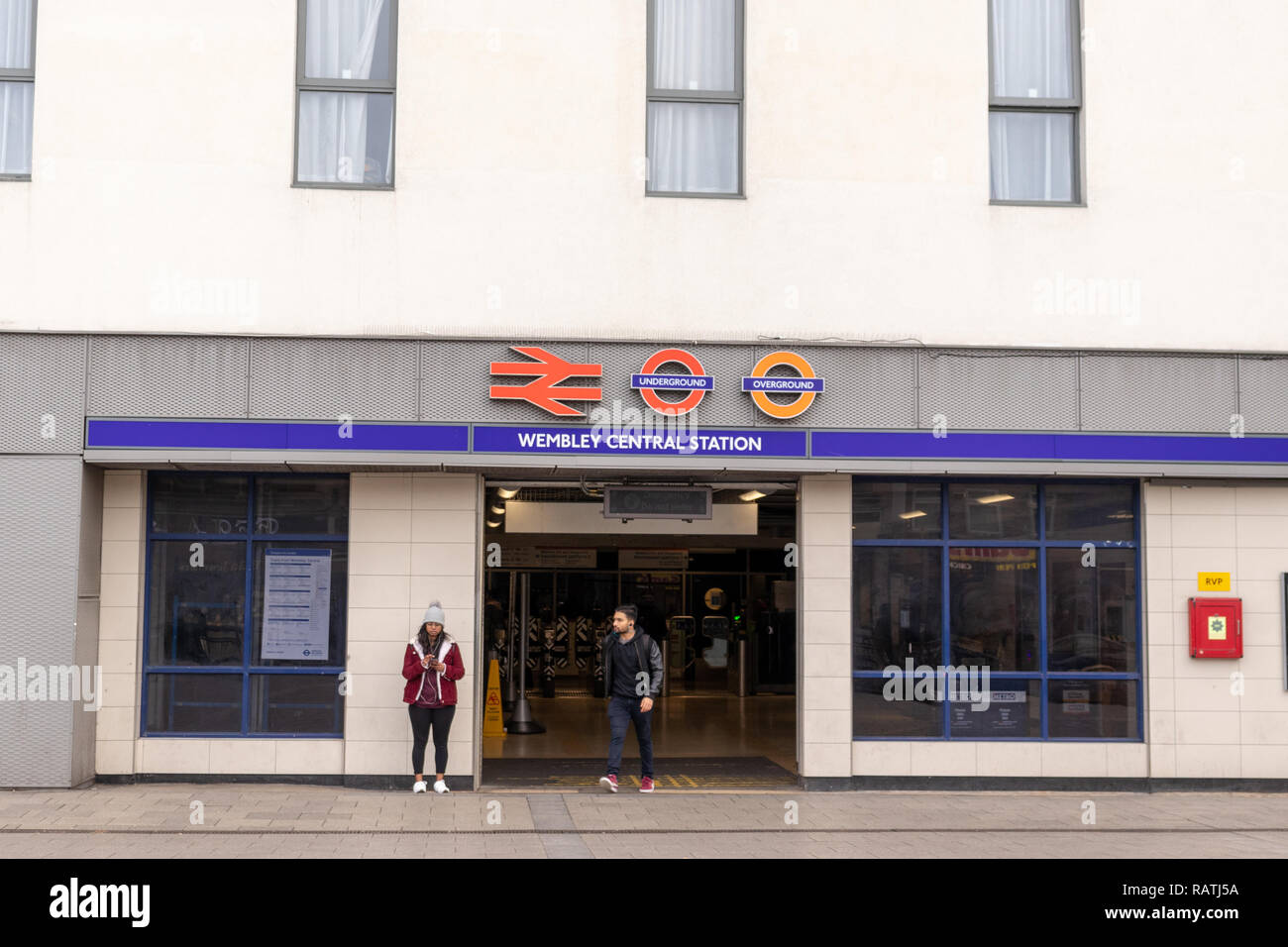 London Underground Station, Wembley Central, South Kenton, Harrow and Wealdstone Stock Photohttps://www.alamy.com/image-license-details/?v=1https://www.alamy.com/london-underground-station-wembley-central-south-kenton-harrow-and-wealdstone-image230422454.html
RFRATJ5A–London Underground Station, Wembley Central, South Kenton, Harrow and Wealdstone
 London Borough of Brent, london borough of England - Great Britain. High resolution satellite map. Locations and names of major cities of the region. Stock Photohttps://www.alamy.com/image-license-details/?v=1https://www.alamy.com/london-borough-of-brent-london-borough-of-england-great-britain-high-resolution-satellite-map-locations-and-names-of-major-cities-of-the-region-image546469249.html
RF2PN1R2W–London Borough of Brent, london borough of England - Great Britain. High resolution satellite map. Locations and names of major cities of the region.
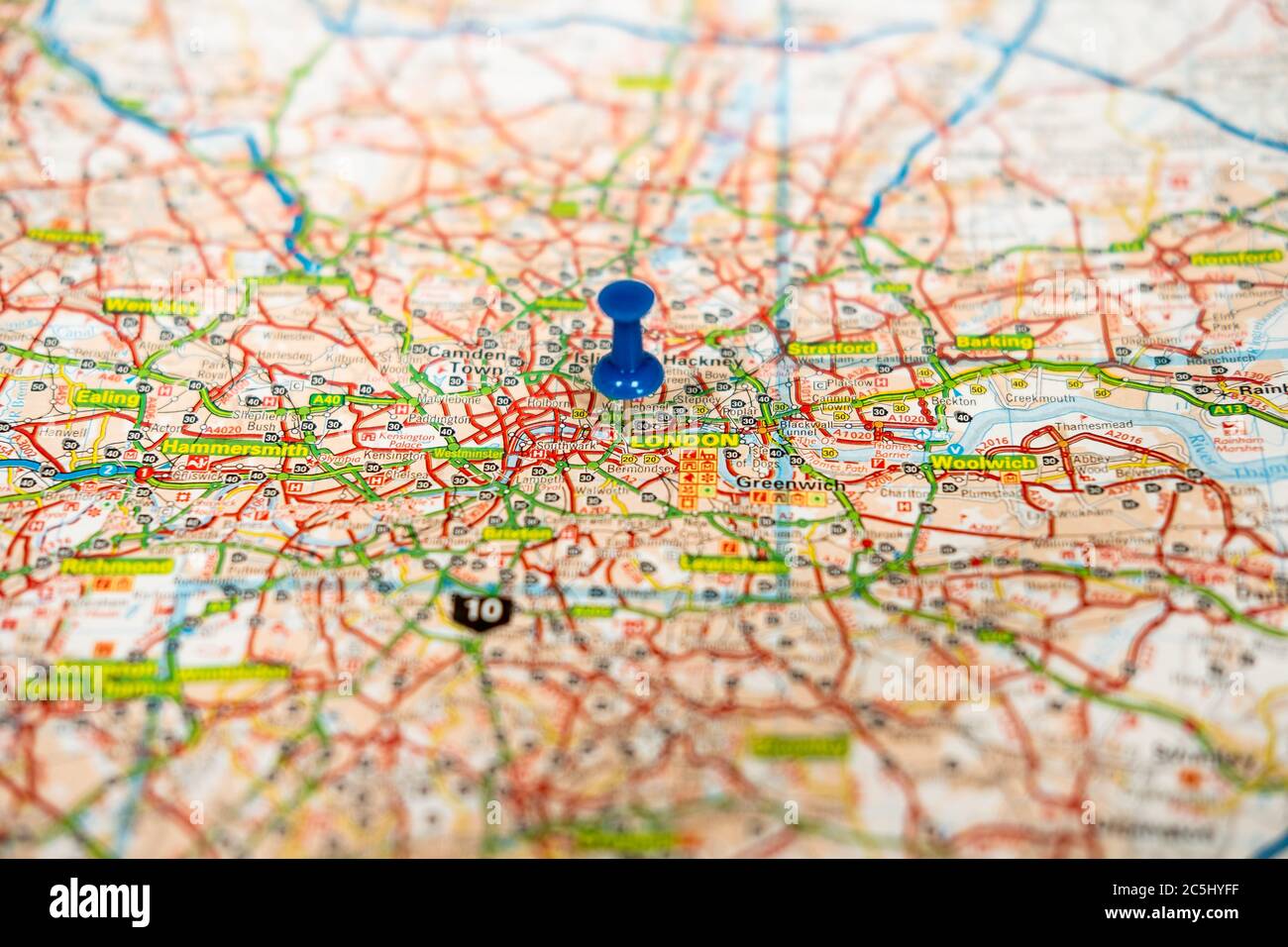 Shallow focus view of a blue push pin seen located in the heart of England's capital city. Stock Photohttps://www.alamy.com/image-license-details/?v=1https://www.alamy.com/shallow-focus-view-of-a-blue-push-pin-seen-located-in-the-heart-of-englands-capital-city-image364885795.html
RF2C5HYFF–Shallow focus view of a blue push pin seen located in the heart of England's capital city.
 A person walks past a Taylor Swift, @allontheboard service information poster and a Swift themed London tube map at Wembley Park station, north west London, ahead of Taylor Swift's Era's Tour concert on Thursday. Picture date: Wednesday August 14, 2024. Stock Photohttps://www.alamy.com/image-license-details/?v=1https://www.alamy.com/a-person-walks-past-a-taylor-swift-@allontheboard-service-information-poster-and-a-swift-themed-london-tube-map-at-wembley-park-station-north-west-london-ahead-of-taylor-swifts-eras-tour-concert-on-thursday-picture-date-wednesday-august-14-2024-image617391938.html
RM2XTCHM2–A person walks past a Taylor Swift, @allontheboard service information poster and a Swift themed London tube map at Wembley Park station, north west London, ahead of Taylor Swift's Era's Tour concert on Thursday. Picture date: Wednesday August 14, 2024.
 Wembley Stadium, Greater London, GB, United Kingdom, England, N 51 33' 20'', S 0 16' 46'', map, Cartascapes Map published in 2024. Explore Cartascapes, a map revealing Earth's diverse landscapes, cultures, and ecosystems. Journey through time and space, discovering the interconnectedness of our planet's past, present, and future. Stock Photohttps://www.alamy.com/image-license-details/?v=1https://www.alamy.com/wembley-stadium-greater-london-gb-united-kingdom-england-n-51-33-20-s-0-16-46-map-cartascapes-map-published-in-2024-explore-cartascapes-a-map-revealing-earths-diverse-landscapes-cultures-and-ecosystems-journey-through-time-and-space-discovering-the-interconnectedness-of-our-planets-past-present-and-future-image604208870.html
RM2X302G6–Wembley Stadium, Greater London, GB, United Kingdom, England, N 51 33' 20'', S 0 16' 46'', map, Cartascapes Map published in 2024. Explore Cartascapes, a map revealing Earth's diverse landscapes, cultures, and ecosystems. Journey through time and space, discovering the interconnectedness of our planet's past, present, and future.
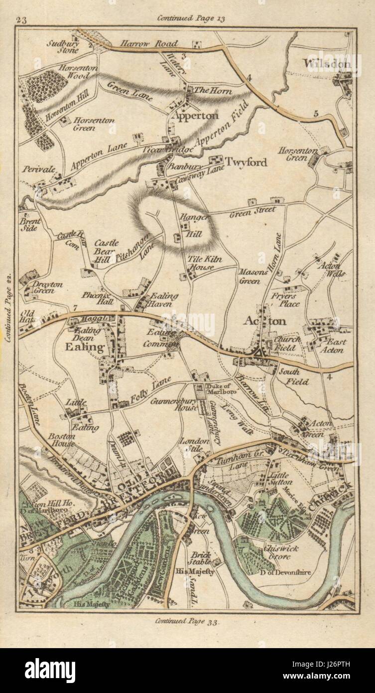 EALING Brentford Chiswick Acton Kew Willesden Wembley Brent CARY 1786 old map Stock Photohttps://www.alamy.com/image-license-details/?v=1https://www.alamy.com/stock-photo-ealing-brentford-chiswick-acton-kew-willesden-wembley-brent-cary-1786-139061905.html
RFJ26PTH–EALING Brentford Chiswick Acton Kew Willesden Wembley Brent CARY 1786 old map
 London, UK. 04th July, 2021. A large scale model showing off most of central London. including Wembley stadium.It's as much a thing to look at and point at for the public, as a sales and explanatory tool for architects and urban planners.The exhibition space is open Mon-Fri 8am-6pm and Sat-Sun 10am-6pm. It can be found on the upper floor of the Coal Drops Yard Credit: Paul Quezada-Neiman/Alamy Live News Stock Photohttps://www.alamy.com/image-license-details/?v=1https://www.alamy.com/london-uk-04th-july-2021-a-large-scale-model-showing-off-most-of-central-london-including-wembley-stadiumits-as-much-a-thing-to-look-at-and-point-at-for-the-public-as-a-sales-and-explanatory-tool-for-architects-and-urban-plannersthe-exhibition-space-is-open-mon-fri-8am-6pm-and-sat-sun-10am-6pm-it-can-be-found-on-the-upper-floor-of-the-coal-drops-yard-credit-paul-quezada-neimanalamy-live-news-image434148794.html
RM2G69562–London, UK. 04th July, 2021. A large scale model showing off most of central London. including Wembley stadium.It's as much a thing to look at and point at for the public, as a sales and explanatory tool for architects and urban planners.The exhibition space is open Mon-Fri 8am-6pm and Sat-Sun 10am-6pm. It can be found on the upper floor of the Coal Drops Yard Credit: Paul Quezada-Neiman/Alamy Live News
 London Underground Station, Wembley Central, South Kenton, Harrow and Wealdstone Stock Photohttps://www.alamy.com/image-license-details/?v=1https://www.alamy.com/london-underground-station-wembley-central-south-kenton-harrow-and-wealdstone-image230422257.html
RFRATHX9–London Underground Station, Wembley Central, South Kenton, Harrow and Wealdstone
 London Borough of Brent, london borough of England - Great Britain. Low resolution satellite map. Locations of major cities of the region. Corner auxi Stock Photohttps://www.alamy.com/image-license-details/?v=1https://www.alamy.com/london-borough-of-brent-london-borough-of-england-great-britain-low-resolution-satellite-map-locations-of-major-cities-of-the-region-corner-auxi-image546469340.html
RF2PN1R64–London Borough of Brent, london borough of England - Great Britain. Low resolution satellite map. Locations of major cities of the region. Corner auxi
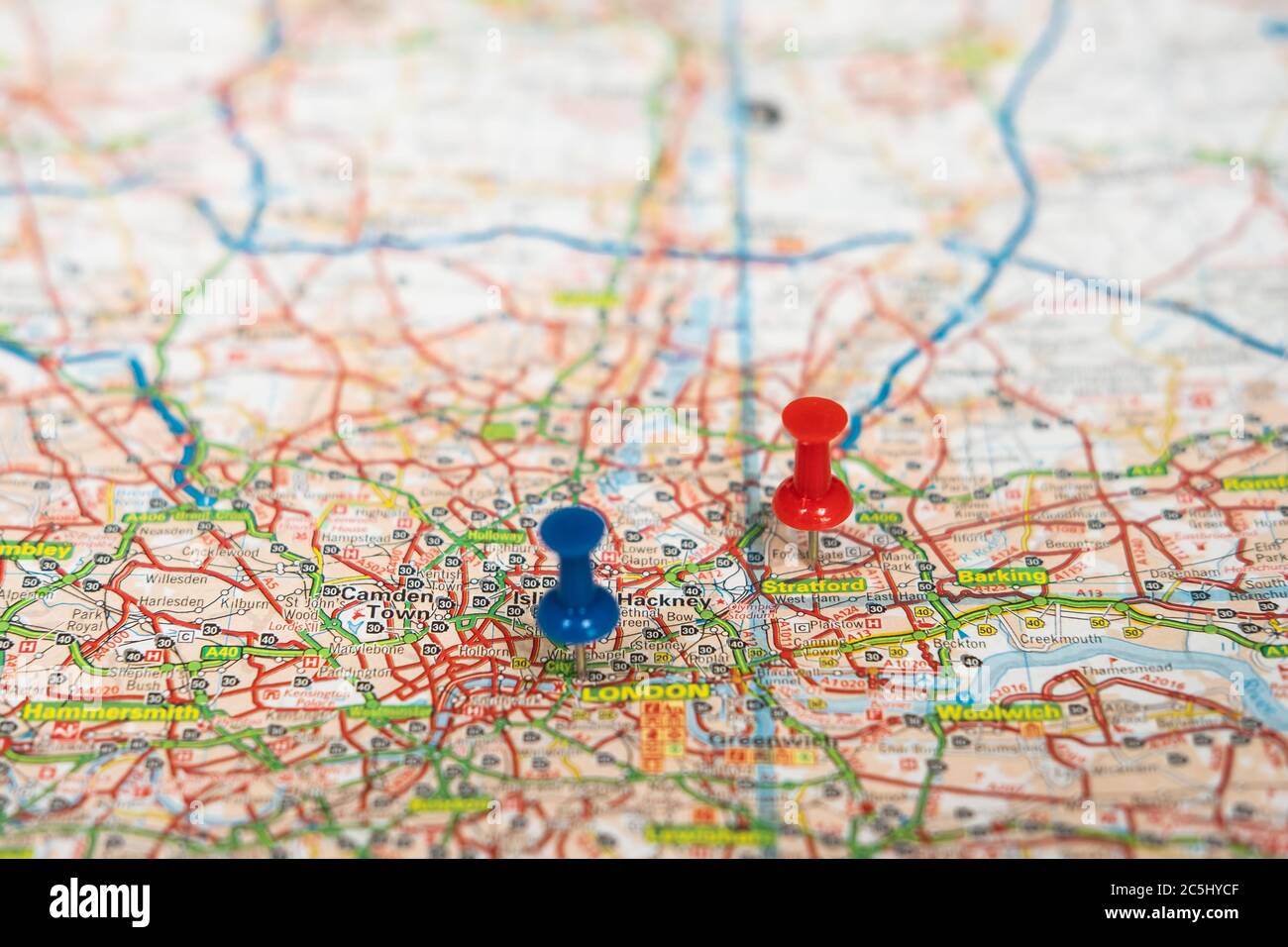 Shallow focus view of a blue push pin seen located in the heart of England's capital city. Stock Photohttps://www.alamy.com/image-license-details/?v=1https://www.alamy.com/shallow-focus-view-of-a-blue-push-pin-seen-located-in-the-heart-of-englands-capital-city-image364885711.html
RF2C5HYCF–Shallow focus view of a blue push pin seen located in the heart of England's capital city.