West haven connecticut map Stock Photos and Images
(48)See west haven connecticut map stock video clipsQuick filters:
West haven connecticut map Stock Photos and Images
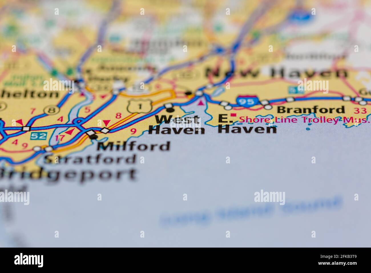 West Haven Connecticut USA Shown on a geography map or road map Stock Photohttps://www.alamy.com/image-license-details/?v=1https://www.alamy.com/west-haven-connecticut-usa-shown-on-a-geography-map-or-road-map-image424971801.html
RM2FKB3T9–West Haven Connecticut USA Shown on a geography map or road map
 West Hills, New Haven County, US, United States, Connecticut, N 41 20' 3'', S 72 58' 15'', map, Cartascapes Map published in 2024. Explore Cartascapes, a map revealing Earth's diverse landscapes, cultures, and ecosystems. Journey through time and space, discovering the interconnectedness of our planet's past, present, and future. Stock Photohttps://www.alamy.com/image-license-details/?v=1https://www.alamy.com/west-hills-new-haven-county-us-united-states-connecticut-n-41-20-3-s-72-58-15-map-cartascapes-map-published-in-2024-explore-cartascapes-a-map-revealing-earths-diverse-landscapes-cultures-and-ecosystems-journey-through-time-and-space-discovering-the-interconnectedness-of-our-planets-past-present-and-future-image621194437.html
RM2Y2HRRH–West Hills, New Haven County, US, United States, Connecticut, N 41 20' 3'', S 72 58' 15'', map, Cartascapes Map published in 2024. Explore Cartascapes, a map revealing Earth's diverse landscapes, cultures, and ecosystems. Journey through time and space, discovering the interconnectedness of our planet's past, present, and future.
 Map of Borough West Haven. West Haven. 1893 Stock Photohttps://www.alamy.com/image-license-details/?v=1https://www.alamy.com/map-of-borough-west-haven-west-haven-1893-image184432350.html
RMMM1H9J–Map of Borough West Haven. West Haven. 1893
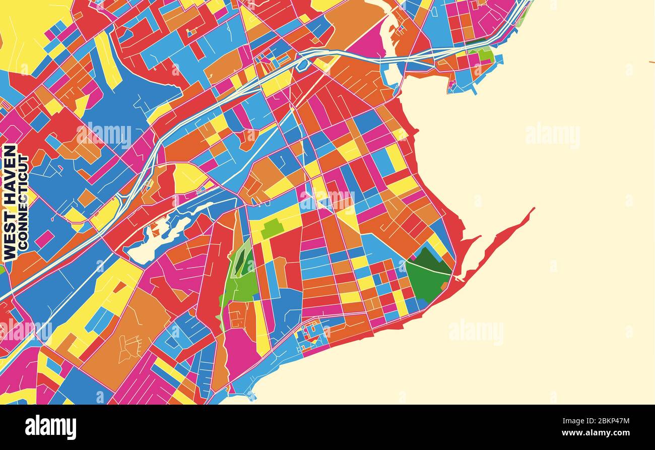 Colorful vector map of West Haven, Connecticut, USA. Art Map template for selfprinting wall art in landscape format. Stock Vectorhttps://www.alamy.com/image-license-details/?v=1https://www.alamy.com/colorful-vector-map-of-west-haven-connecticut-usa-art-map-template-for-selfprinting-wall-art-in-landscape-format-image356372120.html
RF2BKP47M–Colorful vector map of West Haven, Connecticut, USA. Art Map template for selfprinting wall art in landscape format.
 Antique map, circa 1875, of Connecticut Stock Photohttps://www.alamy.com/image-license-details/?v=1https://www.alamy.com/antique-map-circa-1875-of-connecticut-image157493755.html
RMK46CTY–Antique map, circa 1875, of Connecticut
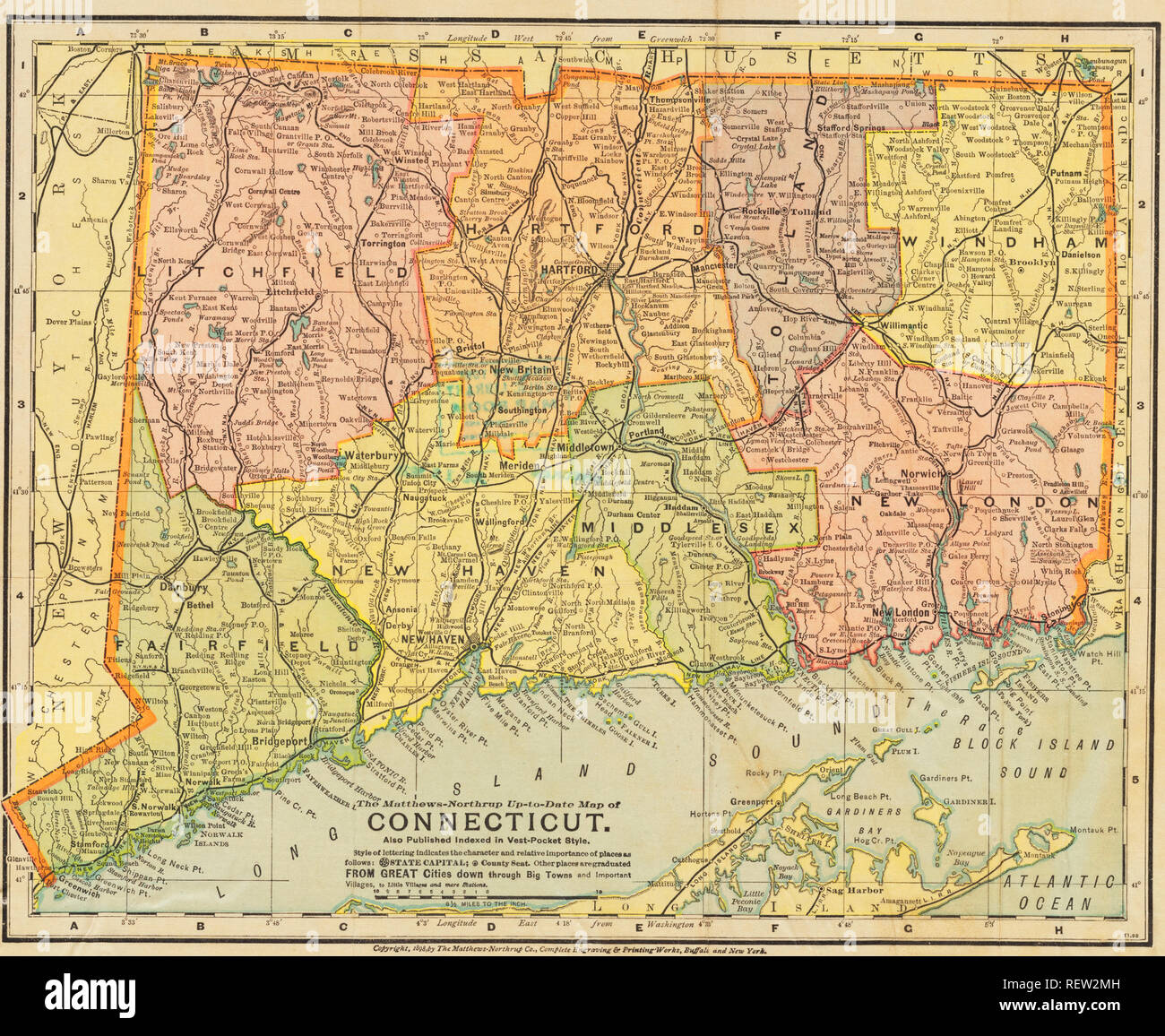 map of connecticut USA Stock Photohttps://www.alamy.com/image-license-details/?v=1https://www.alamy.com/map-of-connecticut-usa-image232890913.html
RFREW2MH–map of connecticut USA
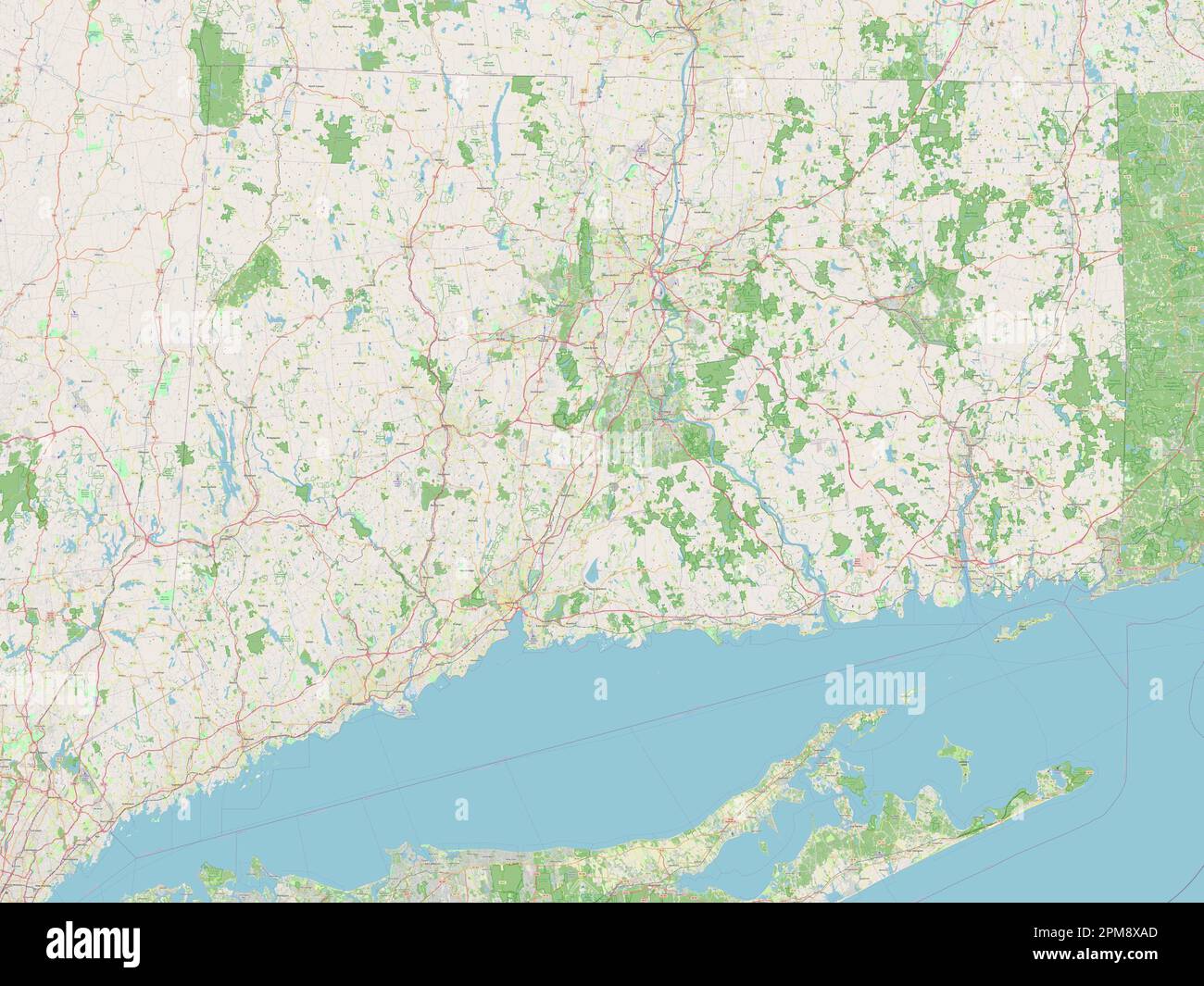 Connecticut, state of United States of America. Open Street Map Stock Photohttps://www.alamy.com/image-license-details/?v=1https://www.alamy.com/connecticut-state-of-united-states-of-america-open-street-map-image546010821.html
RF2PM8XAD–Connecticut, state of United States of America. Open Street Map
 Catalogue of dahlias Stock Photohttps://www.alamy.com/image-license-details/?v=1https://www.alamy.com/stock-photo-catalogue-of-dahlias-96483557.html
RMFGY5N9–Catalogue of dahlias
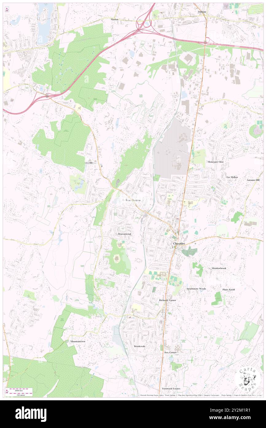 West Cheshire, New Haven County, US, United States, Connecticut, N 41 30' 41'', S 72 55' 6'', map, Cartascapes Map published in 2024. Explore Cartascapes, a map revealing Earth's diverse landscapes, cultures, and ecosystems. Journey through time and space, discovering the interconnectedness of our planet's past, present, and future. Stock Photohttps://www.alamy.com/image-license-details/?v=1https://www.alamy.com/west-cheshire-new-haven-county-us-united-states-connecticut-n-41-30-41-s-72-55-6-map-cartascapes-map-published-in-2024-explore-cartascapes-a-map-revealing-earths-diverse-landscapes-cultures-and-ecosystems-journey-through-time-and-space-discovering-the-interconnectedness-of-our-planets-past-present-and-future-image621243029.html
RM2Y2M1R1–West Cheshire, New Haven County, US, United States, Connecticut, N 41 30' 41'', S 72 55' 6'', map, Cartascapes Map published in 2024. Explore Cartascapes, a map revealing Earth's diverse landscapes, cultures, and ecosystems. Journey through time and space, discovering the interconnectedness of our planet's past, present, and future.
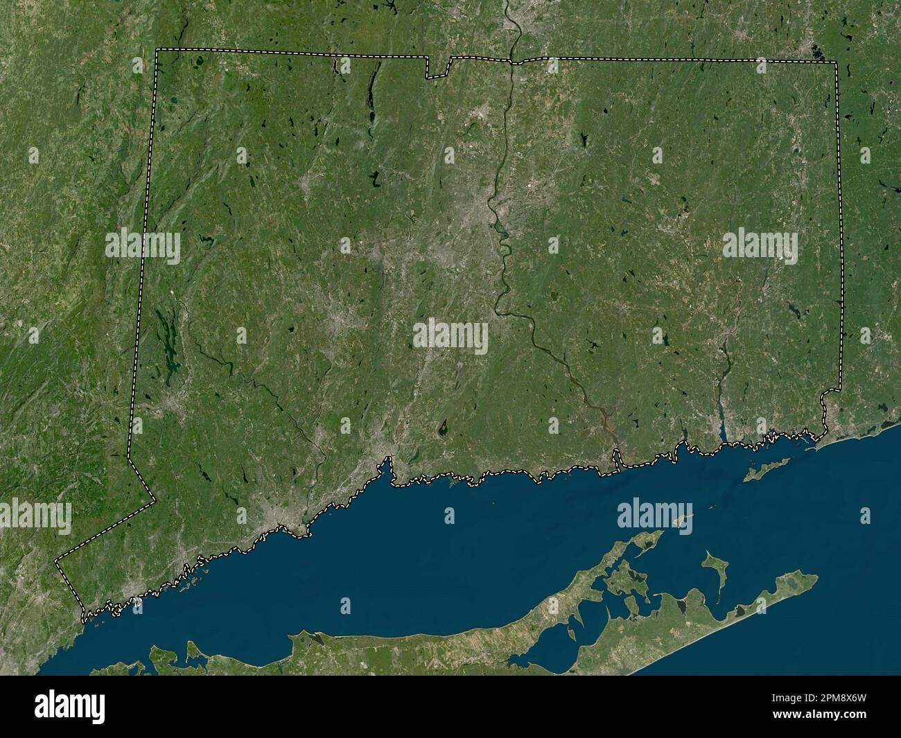 Connecticut, state of United States of America. Low resolution satellite map Stock Photohttps://www.alamy.com/image-license-details/?v=1https://www.alamy.com/connecticut-state-of-united-states-of-america-low-resolution-satellite-map-image546010721.html
RF2PM8X6W–Connecticut, state of United States of America. Low resolution satellite map
 Catalogue of dahlias Stock Photohttps://www.alamy.com/image-license-details/?v=1https://www.alamy.com/stock-photo-catalogue-of-dahlias-96483554.html
RMFGY5N6–Catalogue of dahlias
 West Haven, New Haven County, US, United States, Connecticut, N 41 16' 14'', S 72 56' 49'', map, Cartascapes Map published in 2024. Explore Cartascapes, a map revealing Earth's diverse landscapes, cultures, and ecosystems. Journey through time and space, discovering the interconnectedness of our planet's past, present, and future. Stock Photohttps://www.alamy.com/image-license-details/?v=1https://www.alamy.com/west-haven-new-haven-county-us-united-states-connecticut-n-41-16-14-s-72-56-49-map-cartascapes-map-published-in-2024-explore-cartascapes-a-map-revealing-earths-diverse-landscapes-cultures-and-ecosystems-journey-through-time-and-space-discovering-the-interconnectedness-of-our-planets-past-present-and-future-image621412022.html
RM2Y2YNAE–West Haven, New Haven County, US, United States, Connecticut, N 41 16' 14'', S 72 56' 49'', map, Cartascapes Map published in 2024. Explore Cartascapes, a map revealing Earth's diverse landscapes, cultures, and ecosystems. Journey through time and space, discovering the interconnectedness of our planet's past, present, and future.
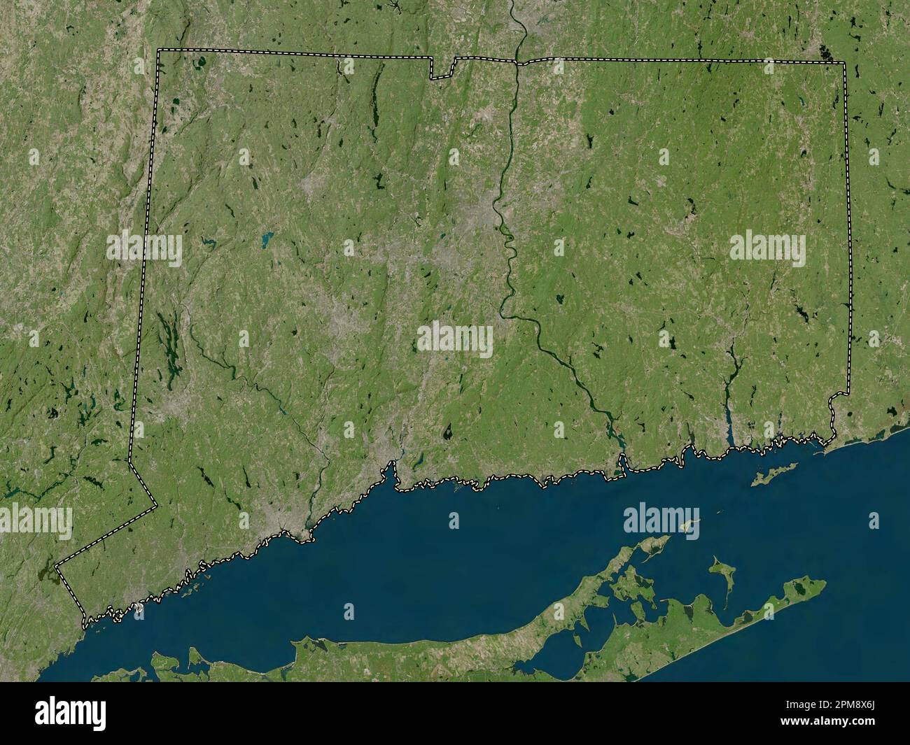 Connecticut, state of United States of America. High resolution satellite map Stock Photohttps://www.alamy.com/image-license-details/?v=1https://www.alamy.com/connecticut-state-of-united-states-of-america-high-resolution-satellite-map-image546010714.html
RF2PM8X6J–Connecticut, state of United States of America. High resolution satellite map
 Catalogue of dahlias Stock Photohttps://www.alamy.com/image-license-details/?v=1https://www.alamy.com/stock-photo-catalogue-of-dahlias-96483555.html
RMFGY5N7–Catalogue of dahlias
 West Hills, New Haven County, US, United States, Connecticut, N 41 20' 3'', S 72 58' 15'', map, Cartascapes Map published in 2024. Explore Cartascapes, a map revealing Earth's diverse landscapes, cultures, and ecosystems. Journey through time and space, discovering the interconnectedness of our planet's past, present, and future. Stock Photohttps://www.alamy.com/image-license-details/?v=1https://www.alamy.com/west-hills-new-haven-county-us-united-states-connecticut-n-41-20-3-s-72-58-15-map-cartascapes-map-published-in-2024-explore-cartascapes-a-map-revealing-earths-diverse-landscapes-cultures-and-ecosystems-journey-through-time-and-space-discovering-the-interconnectedness-of-our-planets-past-present-and-future-image620732783.html
RM2Y1TPYY–West Hills, New Haven County, US, United States, Connecticut, N 41 20' 3'', S 72 58' 15'', map, Cartascapes Map published in 2024. Explore Cartascapes, a map revealing Earth's diverse landscapes, cultures, and ecosystems. Journey through time and space, discovering the interconnectedness of our planet's past, present, and future.
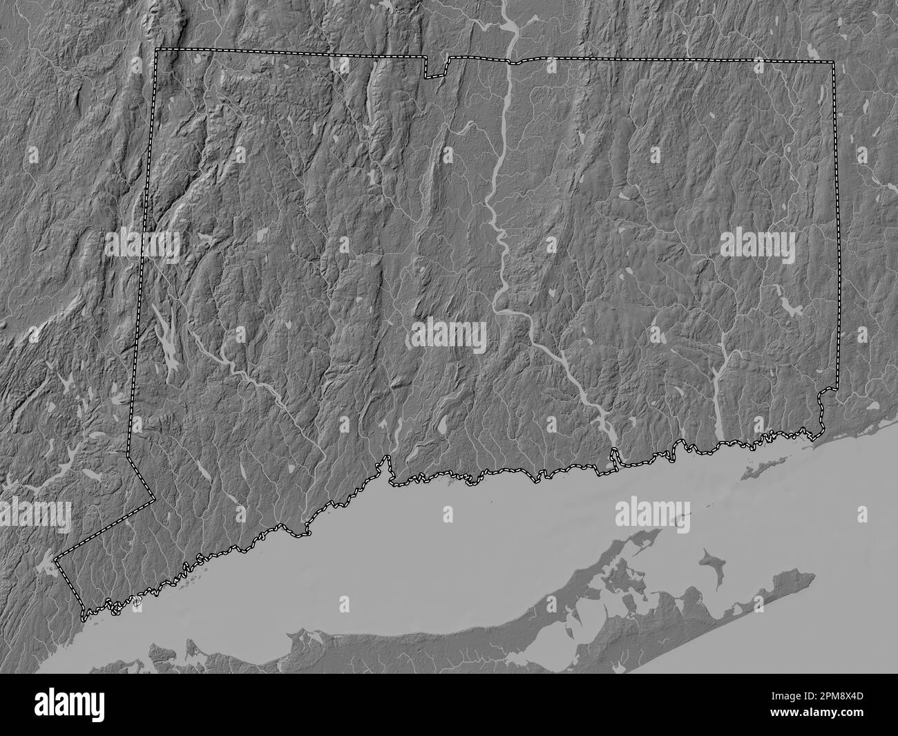 Connecticut, state of United States of America. Bilevel elevation map with lakes and rivers Stock Photohttps://www.alamy.com/image-license-details/?v=1https://www.alamy.com/connecticut-state-of-united-states-of-america-bilevel-elevation-map-with-lakes-and-rivers-image546010653.html
RF2PM8X4D–Connecticut, state of United States of America. Bilevel elevation map with lakes and rivers
 Catalogue of dahlias Stock Photohttps://www.alamy.com/image-license-details/?v=1https://www.alamy.com/stock-photo-catalogue-of-dahlias-96483558.html
RMFGY5NA–Catalogue of dahlias
 West Shore, New Haven County, US, United States, Connecticut, N 41 14' 32'', S 72 58' 14'', map, Cartascapes Map published in 2024. Explore Cartascapes, a map revealing Earth's diverse landscapes, cultures, and ecosystems. Journey through time and space, discovering the interconnectedness of our planet's past, present, and future. Stock Photohttps://www.alamy.com/image-license-details/?v=1https://www.alamy.com/west-shore-new-haven-county-us-united-states-connecticut-n-41-14-32-s-72-58-14-map-cartascapes-map-published-in-2024-explore-cartascapes-a-map-revealing-earths-diverse-landscapes-cultures-and-ecosystems-journey-through-time-and-space-discovering-the-interconnectedness-of-our-planets-past-present-and-future-image620874247.html
RM2Y237C7–West Shore, New Haven County, US, United States, Connecticut, N 41 14' 32'', S 72 58' 14'', map, Cartascapes Map published in 2024. Explore Cartascapes, a map revealing Earth's diverse landscapes, cultures, and ecosystems. Journey through time and space, discovering the interconnectedness of our planet's past, present, and future.
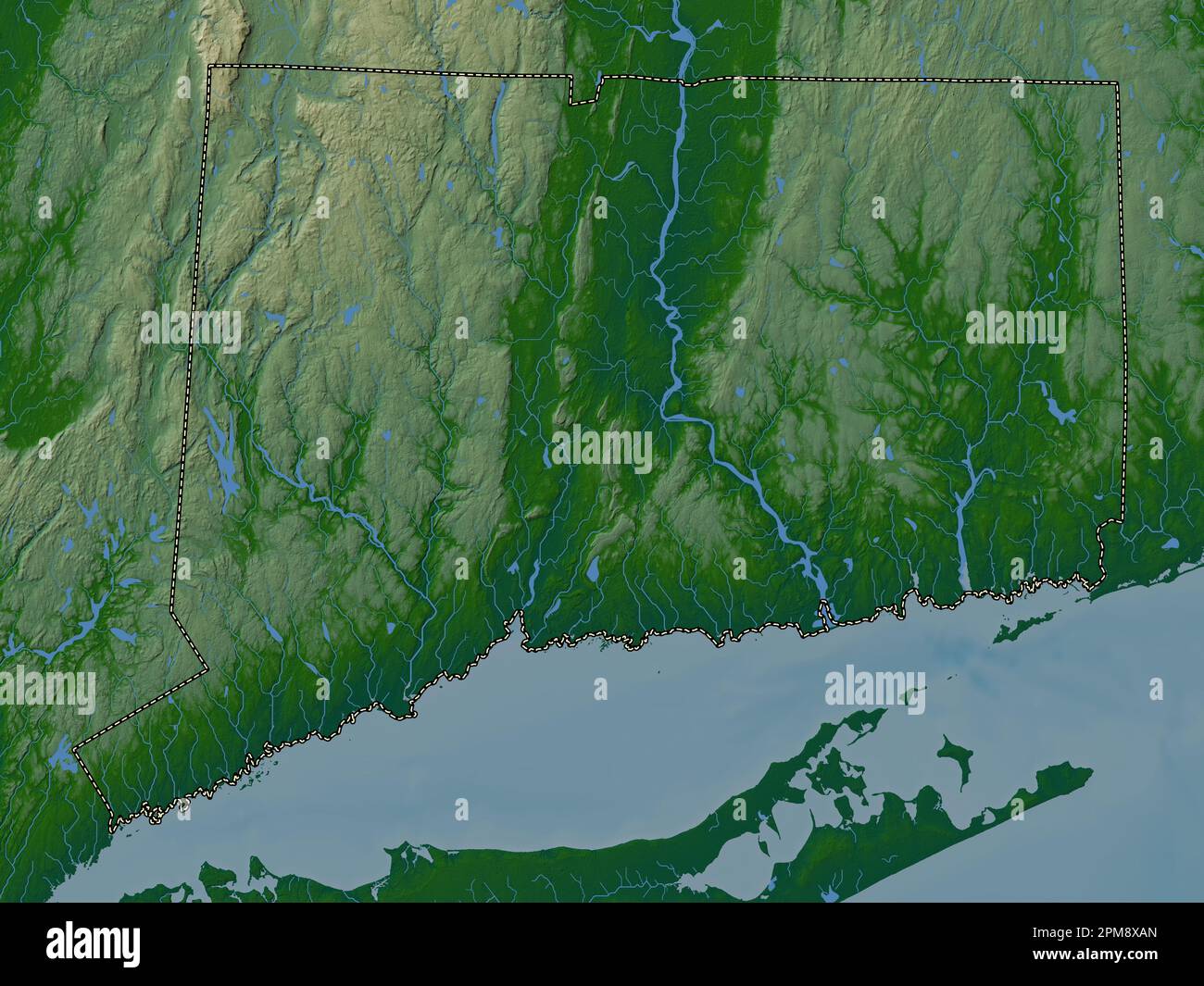 Connecticut, state of United States of America. Colored elevation map with lakes and rivers Stock Photohttps://www.alamy.com/image-license-details/?v=1https://www.alamy.com/connecticut-state-of-united-states-of-america-colored-elevation-map-with-lakes-and-rivers-image546010829.html
RF2PM8XAN–Connecticut, state of United States of America. Colored elevation map with lakes and rivers
 Catalogue of dahlias Stock Photohttps://www.alamy.com/image-license-details/?v=1https://www.alamy.com/stock-photo-catalogue-of-dahlias-96483556.html
RMFGY5N8–Catalogue of dahlias
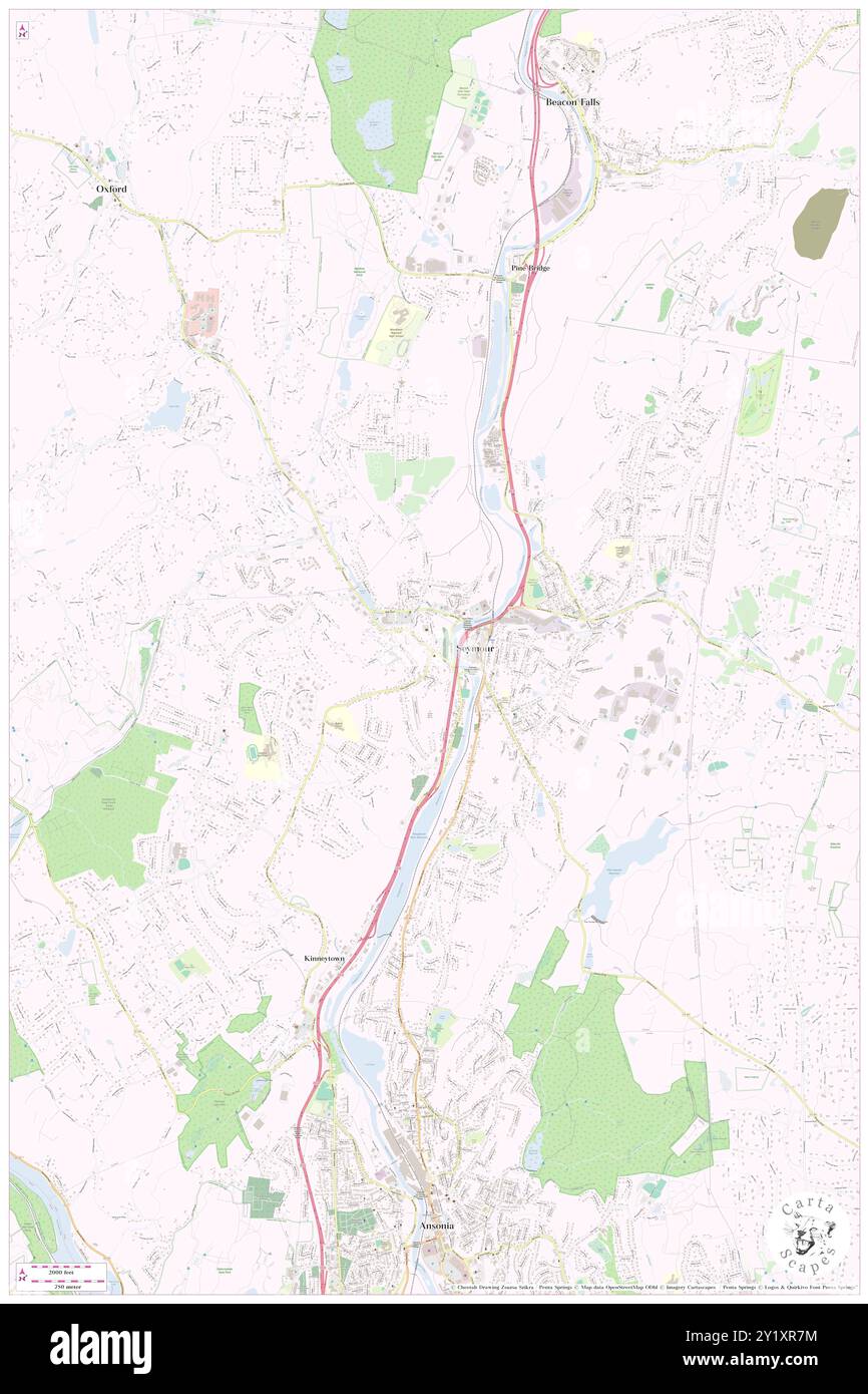 West Seymour, New Haven County, US, United States, Connecticut, N 41 23' 38'', S 73 4' 44'', map, Cartascapes Map published in 2024. Explore Cartascapes, a map revealing Earth's diverse landscapes, cultures, and ecosystems. Journey through time and space, discovering the interconnectedness of our planet's past, present, and future. Stock Photohttps://www.alamy.com/image-license-details/?v=1https://www.alamy.com/west-seymour-new-haven-county-us-united-states-connecticut-n-41-23-38-s-73-4-44-map-cartascapes-map-published-in-2024-explore-cartascapes-a-map-revealing-earths-diverse-landscapes-cultures-and-ecosystems-journey-through-time-and-space-discovering-the-interconnectedness-of-our-planets-past-present-and-future-image620776904.html
RM2Y1XR7M–West Seymour, New Haven County, US, United States, Connecticut, N 41 23' 38'', S 73 4' 44'', map, Cartascapes Map published in 2024. Explore Cartascapes, a map revealing Earth's diverse landscapes, cultures, and ecosystems. Journey through time and space, discovering the interconnectedness of our planet's past, present, and future.
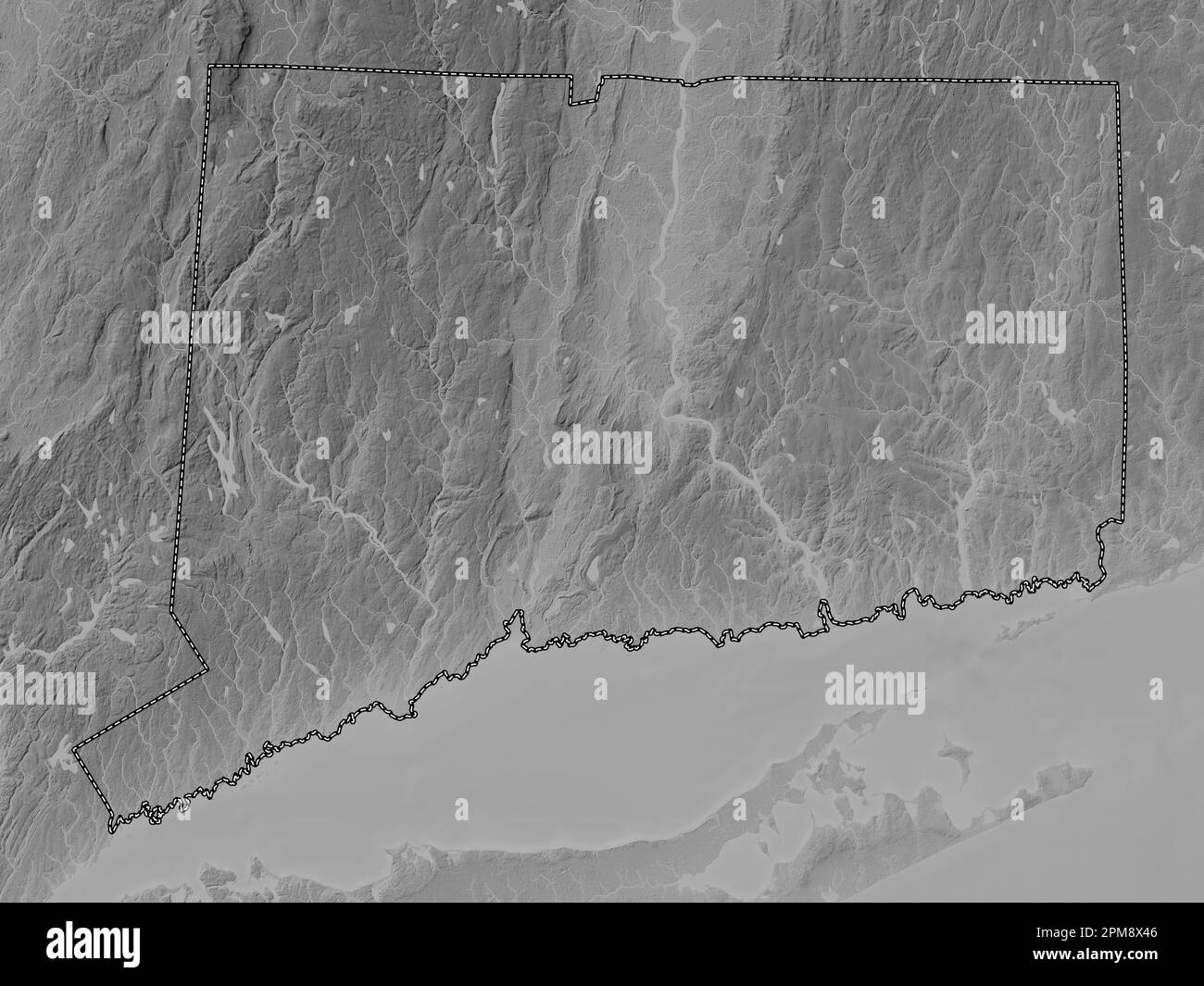 Connecticut, state of United States of America. Grayscale elevation map with lakes and rivers Stock Photohttps://www.alamy.com/image-license-details/?v=1https://www.alamy.com/connecticut-state-of-united-states-of-america-grayscale-elevation-map-with-lakes-and-rivers-image546010646.html
RF2PM8X46–Connecticut, state of United States of America. Grayscale elevation map with lakes and rivers
 West Side Hill, New Haven County, US, United States, Connecticut, N 41 33' 14'', S 73 3' 40'', map, Cartascapes Map published in 2024. Explore Cartascapes, a map revealing Earth's diverse landscapes, cultures, and ecosystems. Journey through time and space, discovering the interconnectedness of our planet's past, present, and future. Stock Photohttps://www.alamy.com/image-license-details/?v=1https://www.alamy.com/west-side-hill-new-haven-county-us-united-states-connecticut-n-41-33-14-s-73-3-40-map-cartascapes-map-published-in-2024-explore-cartascapes-a-map-revealing-earths-diverse-landscapes-cultures-and-ecosystems-journey-through-time-and-space-discovering-the-interconnectedness-of-our-planets-past-present-and-future-image620837466.html
RM2Y21GEJ–West Side Hill, New Haven County, US, United States, Connecticut, N 41 33' 14'', S 73 3' 40'', map, Cartascapes Map published in 2024. Explore Cartascapes, a map revealing Earth's diverse landscapes, cultures, and ecosystems. Journey through time and space, discovering the interconnectedness of our planet's past, present, and future.
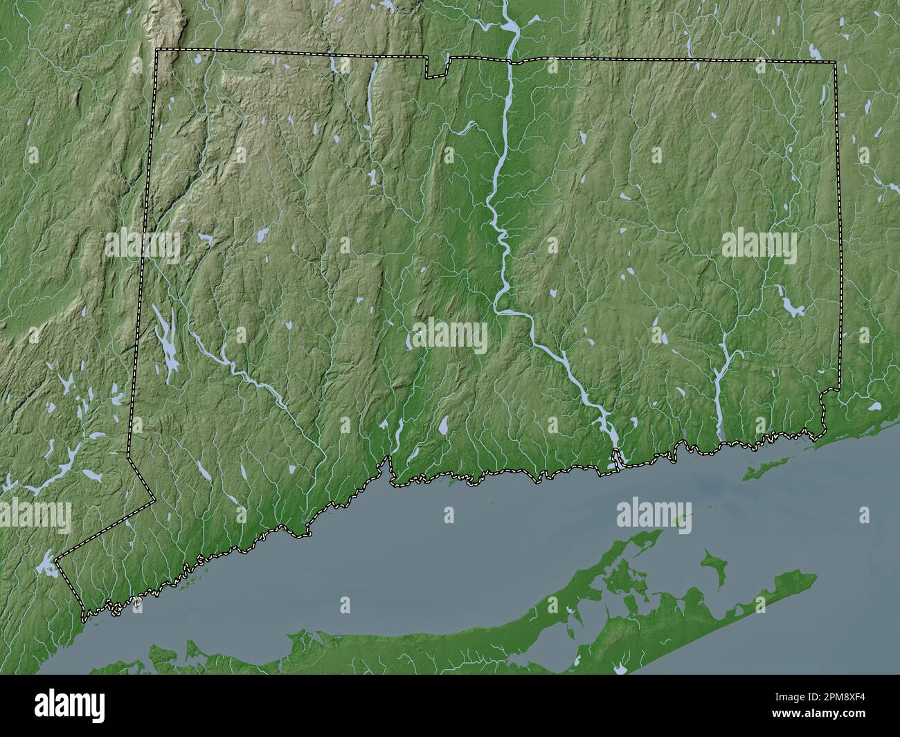 Connecticut, state of United States of America. Elevation map colored in wiki style with lakes and rivers Stock Photohttps://www.alamy.com/image-license-details/?v=1https://www.alamy.com/connecticut-state-of-united-states-of-america-elevation-map-colored-in-wiki-style-with-lakes-and-rivers-image546010952.html
RF2PM8XF4–Connecticut, state of United States of America. Elevation map colored in wiki style with lakes and rivers
 West Haven, New Haven County, US, United States, Connecticut, N 41 16' 14'', S 72 56' 49'', map, Cartascapes Map published in 2024. Explore Cartascapes, a map revealing Earth's diverse landscapes, cultures, and ecosystems. Journey through time and space, discovering the interconnectedness of our planet's past, present, and future. Stock Photohttps://www.alamy.com/image-license-details/?v=1https://www.alamy.com/west-haven-new-haven-county-us-united-states-connecticut-n-41-16-14-s-72-56-49-map-cartascapes-map-published-in-2024-explore-cartascapes-a-map-revealing-earths-diverse-landscapes-cultures-and-ecosystems-journey-through-time-and-space-discovering-the-interconnectedness-of-our-planets-past-present-and-future-image620775664.html
RM2Y1XNKC–West Haven, New Haven County, US, United States, Connecticut, N 41 16' 14'', S 72 56' 49'', map, Cartascapes Map published in 2024. Explore Cartascapes, a map revealing Earth's diverse landscapes, cultures, and ecosystems. Journey through time and space, discovering the interconnectedness of our planet's past, present, and future.
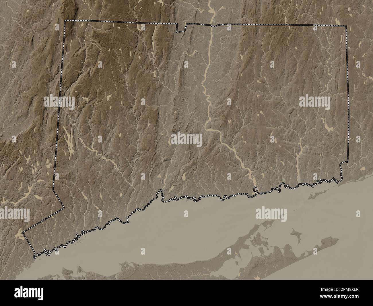 Connecticut, state of United States of America. Elevation map colored in sepia tones with lakes and rivers Stock Photohttps://www.alamy.com/image-license-details/?v=1https://www.alamy.com/connecticut-state-of-united-states-of-america-elevation-map-colored-in-sepia-tones-with-lakes-and-rivers-image546010943.html
RF2PM8XER–Connecticut, state of United States of America. Elevation map colored in sepia tones with lakes and rivers
 City of West Haven, New Haven County, US, United States, Connecticut, N 41 16' 25'', S 72 58' 1'', map, Cartascapes Map published in 2024. Explore Cartascapes, a map revealing Earth's diverse landscapes, cultures, and ecosystems. Journey through time and space, discovering the interconnectedness of our planet's past, present, and future. Stock Photohttps://www.alamy.com/image-license-details/?v=1https://www.alamy.com/city-of-west-haven-new-haven-county-us-united-states-connecticut-n-41-16-25-s-72-58-1-map-cartascapes-map-published-in-2024-explore-cartascapes-a-map-revealing-earths-diverse-landscapes-cultures-and-ecosystems-journey-through-time-and-space-discovering-the-interconnectedness-of-our-planets-past-present-and-future-image633802192.html
RM2YR454G–City of West Haven, New Haven County, US, United States, Connecticut, N 41 16' 25'', S 72 58' 1'', map, Cartascapes Map published in 2024. Explore Cartascapes, a map revealing Earth's diverse landscapes, cultures, and ecosystems. Journey through time and space, discovering the interconnectedness of our planet's past, present, and future.
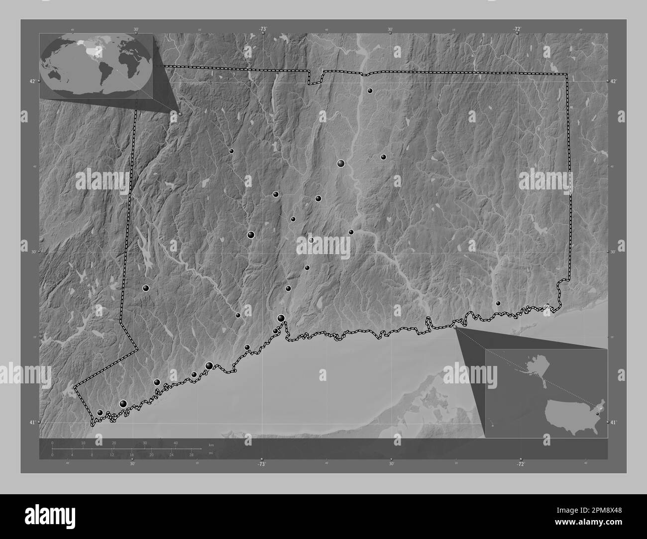 Connecticut, state of United States of America. Grayscale elevation map with lakes and rivers. Locations of major cities of the region. Corner auxilia Stock Photohttps://www.alamy.com/image-license-details/?v=1https://www.alamy.com/connecticut-state-of-united-states-of-america-grayscale-elevation-map-with-lakes-and-rivers-locations-of-major-cities-of-the-region-corner-auxilia-image546010648.html
RF2PM8X48–Connecticut, state of United States of America. Grayscale elevation map with lakes and rivers. Locations of major cities of the region. Corner auxilia
 Town of West Haven, New Haven County, US, United States, Connecticut, N 41 16' 25'', S 72 58' 1'', map, Cartascapes Map published in 2024. Explore Cartascapes, a map revealing Earth's diverse landscapes, cultures, and ecosystems. Journey through time and space, discovering the interconnectedness of our planet's past, present, and future. Stock Photohttps://www.alamy.com/image-license-details/?v=1https://www.alamy.com/town-of-west-haven-new-haven-county-us-united-states-connecticut-n-41-16-25-s-72-58-1-map-cartascapes-map-published-in-2024-explore-cartascapes-a-map-revealing-earths-diverse-landscapes-cultures-and-ecosystems-journey-through-time-and-space-discovering-the-interconnectedness-of-our-planets-past-present-and-future-image633909333.html
RM2YR91R1–Town of West Haven, New Haven County, US, United States, Connecticut, N 41 16' 25'', S 72 58' 1'', map, Cartascapes Map published in 2024. Explore Cartascapes, a map revealing Earth's diverse landscapes, cultures, and ecosystems. Journey through time and space, discovering the interconnectedness of our planet's past, present, and future.
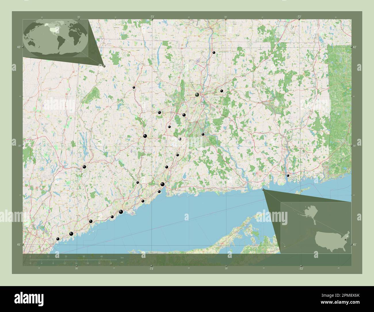 Connecticut, state of United States of America. Open Street Map. Locations of major cities of the region. Corner auxiliary location maps Stock Photohttps://www.alamy.com/image-license-details/?v=1https://www.alamy.com/connecticut-state-of-united-states-of-america-open-street-map-locations-of-major-cities-of-the-region-corner-auxiliary-location-maps-image546010715.html
RF2PM8X6K–Connecticut, state of United States of America. Open Street Map. Locations of major cities of the region. Corner auxiliary location maps
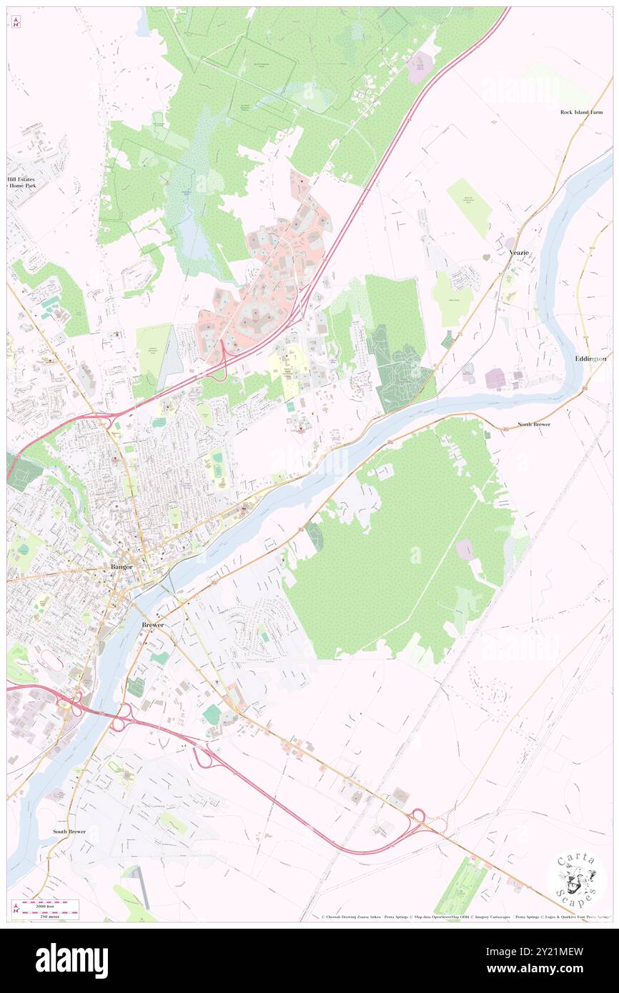 VA Connecticut Healthcare System, West Haven Campus, Penobscot County, US, United States, Maine, N 44 48' 49'', S 68 44' 24'', map, Cartascapes Map published in 2024. Explore Cartascapes, a map revealing Earth's diverse landscapes, cultures, and ecosystems. Journey through time and space, discovering the interconnectedness of our planet's past, present, and future. Stock Photohttps://www.alamy.com/image-license-details/?v=1https://www.alamy.com/va-connecticut-healthcare-system-west-haven-campus-penobscot-county-us-united-states-maine-n-44-48-49-s-68-44-24-map-cartascapes-map-published-in-2024-explore-cartascapes-a-map-revealing-earths-diverse-landscapes-cultures-and-ecosystems-journey-through-time-and-space-discovering-the-interconnectedness-of-our-planets-past-present-and-future-image620840609.html
RM2Y21MEW–VA Connecticut Healthcare System, West Haven Campus, Penobscot County, US, United States, Maine, N 44 48' 49'', S 68 44' 24'', map, Cartascapes Map published in 2024. Explore Cartascapes, a map revealing Earth's diverse landscapes, cultures, and ecosystems. Journey through time and space, discovering the interconnectedness of our planet's past, present, and future.
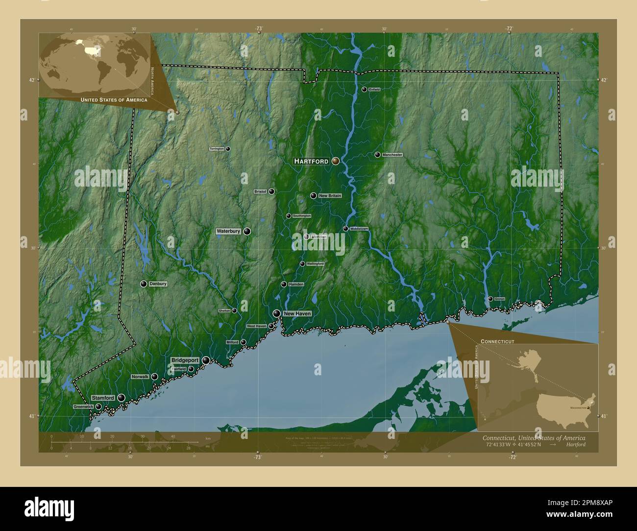 Connecticut, state of United States of America. Colored elevation map with lakes and rivers. Locations and names of major cities of the region. Corner Stock Photohttps://www.alamy.com/image-license-details/?v=1https://www.alamy.com/connecticut-state-of-united-states-of-america-colored-elevation-map-with-lakes-and-rivers-locations-and-names-of-major-cities-of-the-region-corner-image546010830.html
RF2PM8XAP–Connecticut, state of United States of America. Colored elevation map with lakes and rivers. Locations and names of major cities of the region. Corner
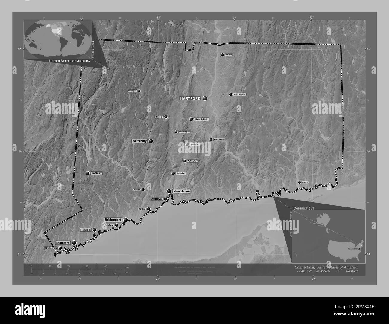 Connecticut, state of United States of America. Grayscale elevation map with lakes and rivers. Locations and names of major cities of the region. Corn Stock Photohttps://www.alamy.com/image-license-details/?v=1https://www.alamy.com/connecticut-state-of-united-states-of-america-grayscale-elevation-map-with-lakes-and-rivers-locations-and-names-of-major-cities-of-the-region-corn-image546010654.html
RF2PM8X4E–Connecticut, state of United States of America. Grayscale elevation map with lakes and rivers. Locations and names of major cities of the region. Corn
 Connecticut, state of United States of America. Bilevel elevation map with lakes and rivers. Locations of major cities of the region. Corner auxiliary Stock Photohttps://www.alamy.com/image-license-details/?v=1https://www.alamy.com/connecticut-state-of-united-states-of-america-bilevel-elevation-map-with-lakes-and-rivers-locations-of-major-cities-of-the-region-corner-auxiliary-image546010576.html
RF2PM8X1M–Connecticut, state of United States of America. Bilevel elevation map with lakes and rivers. Locations of major cities of the region. Corner auxiliary
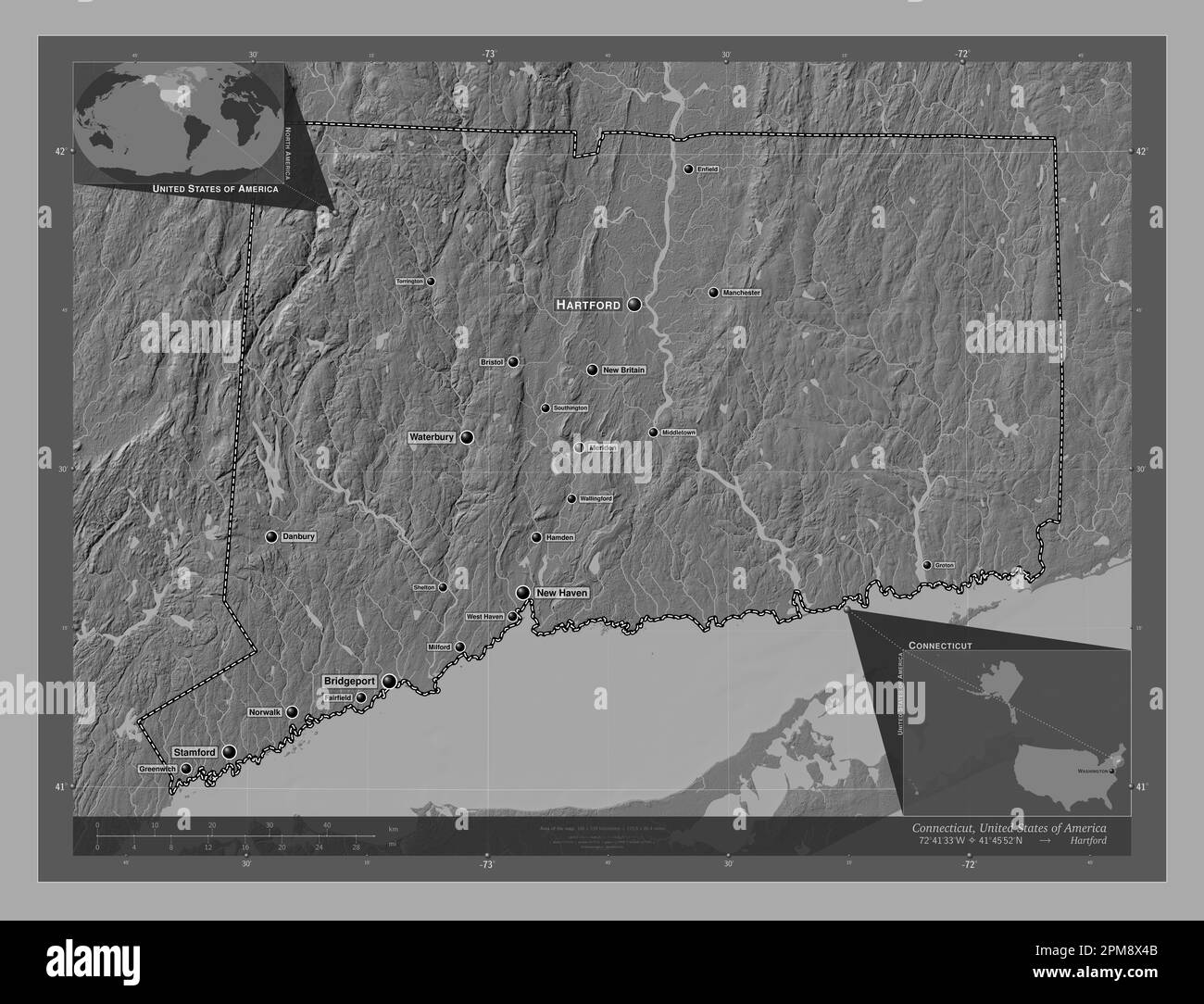 Connecticut, state of United States of America. Bilevel elevation map with lakes and rivers. Locations and names of major cities of the region. Corner Stock Photohttps://www.alamy.com/image-license-details/?v=1https://www.alamy.com/connecticut-state-of-united-states-of-america-bilevel-elevation-map-with-lakes-and-rivers-locations-and-names-of-major-cities-of-the-region-corner-image546010651.html
RF2PM8X4B–Connecticut, state of United States of America. Bilevel elevation map with lakes and rivers. Locations and names of major cities of the region. Corner
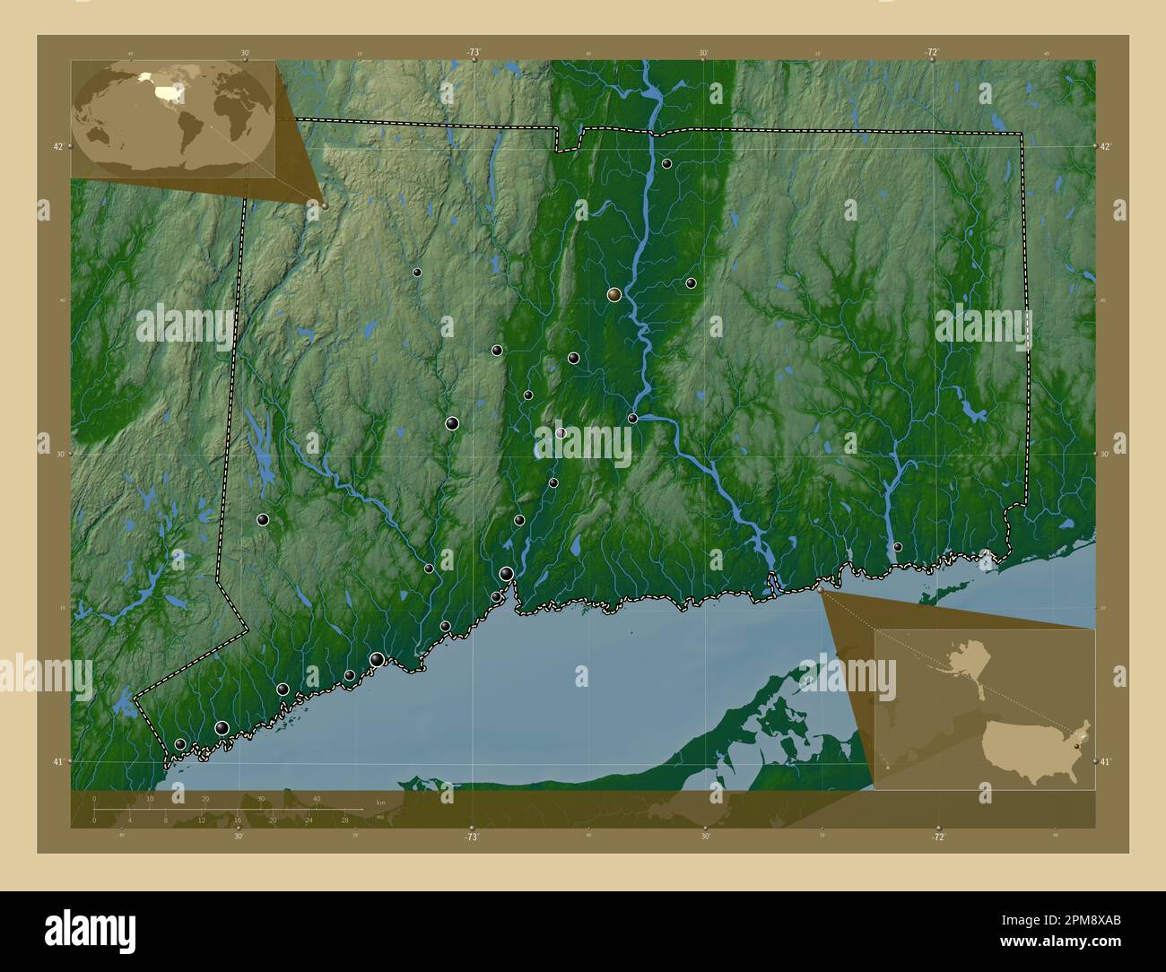 Connecticut, state of United States of America. Colored elevation map with lakes and rivers. Locations of major cities of the region. Corner auxiliary Stock Photohttps://www.alamy.com/image-license-details/?v=1https://www.alamy.com/connecticut-state-of-united-states-of-america-colored-elevation-map-with-lakes-and-rivers-locations-of-major-cities-of-the-region-corner-auxiliary-image546010819.html
RF2PM8XAB–Connecticut, state of United States of America. Colored elevation map with lakes and rivers. Locations of major cities of the region. Corner auxiliary
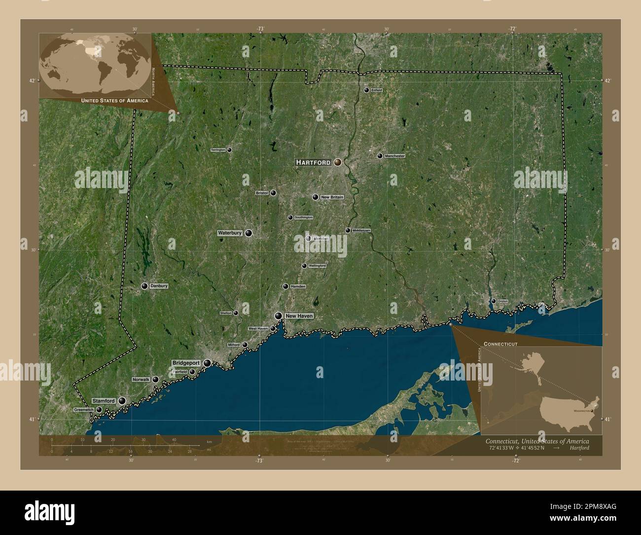 Connecticut, state of United States of America. Low resolution satellite map. Locations and names of major cities of the region. Corner auxiliary loca Stock Photohttps://www.alamy.com/image-license-details/?v=1https://www.alamy.com/connecticut-state-of-united-states-of-america-low-resolution-satellite-map-locations-and-names-of-major-cities-of-the-region-corner-auxiliary-loca-image546010824.html
RF2PM8XAG–Connecticut, state of United States of America. Low resolution satellite map. Locations and names of major cities of the region. Corner auxiliary loca
 Connecticut, state of United States of America. Elevation map colored in sepia tones with lakes and rivers. Locations and names of major cities of the Stock Photohttps://www.alamy.com/image-license-details/?v=1https://www.alamy.com/connecticut-state-of-united-states-of-america-elevation-map-colored-in-sepia-tones-with-lakes-and-rivers-locations-and-names-of-major-cities-of-the-image546010947.html
RF2PM8XEY–Connecticut, state of United States of America. Elevation map colored in sepia tones with lakes and rivers. Locations and names of major cities of the
 Connecticut, state of United States of America. Low resolution satellite map. Locations of major cities of the region. Corner auxiliary location maps Stock Photohttps://www.alamy.com/image-license-details/?v=1https://www.alamy.com/connecticut-state-of-united-states-of-america-low-resolution-satellite-map-locations-of-major-cities-of-the-region-corner-auxiliary-location-maps-image546010825.html
RF2PM8XAH–Connecticut, state of United States of America. Low resolution satellite map. Locations of major cities of the region. Corner auxiliary location maps
 Connecticut, state of United States of America. High resolution satellite map. Locations of major cities of the region. Corner auxiliary location maps Stock Photohttps://www.alamy.com/image-license-details/?v=1https://www.alamy.com/connecticut-state-of-united-states-of-america-high-resolution-satellite-map-locations-of-major-cities-of-the-region-corner-auxiliary-location-maps-image546010716.html
RF2PM8X6M–Connecticut, state of United States of America. High resolution satellite map. Locations of major cities of the region. Corner auxiliary location maps
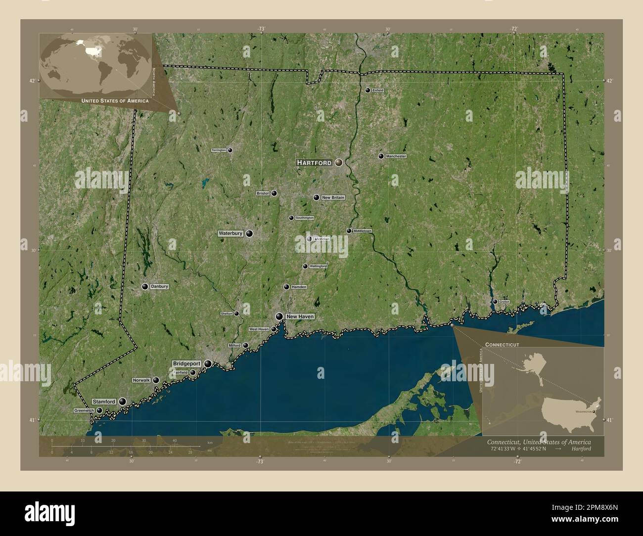 Connecticut, state of United States of America. High resolution satellite map. Locations and names of major cities of the region. Corner auxiliary loc Stock Photohttps://www.alamy.com/image-license-details/?v=1https://www.alamy.com/connecticut-state-of-united-states-of-america-high-resolution-satellite-map-locations-and-names-of-major-cities-of-the-region-corner-auxiliary-loc-image546010717.html
RF2PM8X6N–Connecticut, state of United States of America. High resolution satellite map. Locations and names of major cities of the region. Corner auxiliary loc
 Connecticut, state of United States of America. Open Street Map. Locations and names of major cities of the region. Corner auxiliary location maps Stock Photohttps://www.alamy.com/image-license-details/?v=1https://www.alamy.com/connecticut-state-of-united-states-of-america-open-street-map-locations-and-names-of-major-cities-of-the-region-corner-auxiliary-location-maps-image546010831.html
RF2PM8XAR–Connecticut, state of United States of America. Open Street Map. Locations and names of major cities of the region. Corner auxiliary location maps
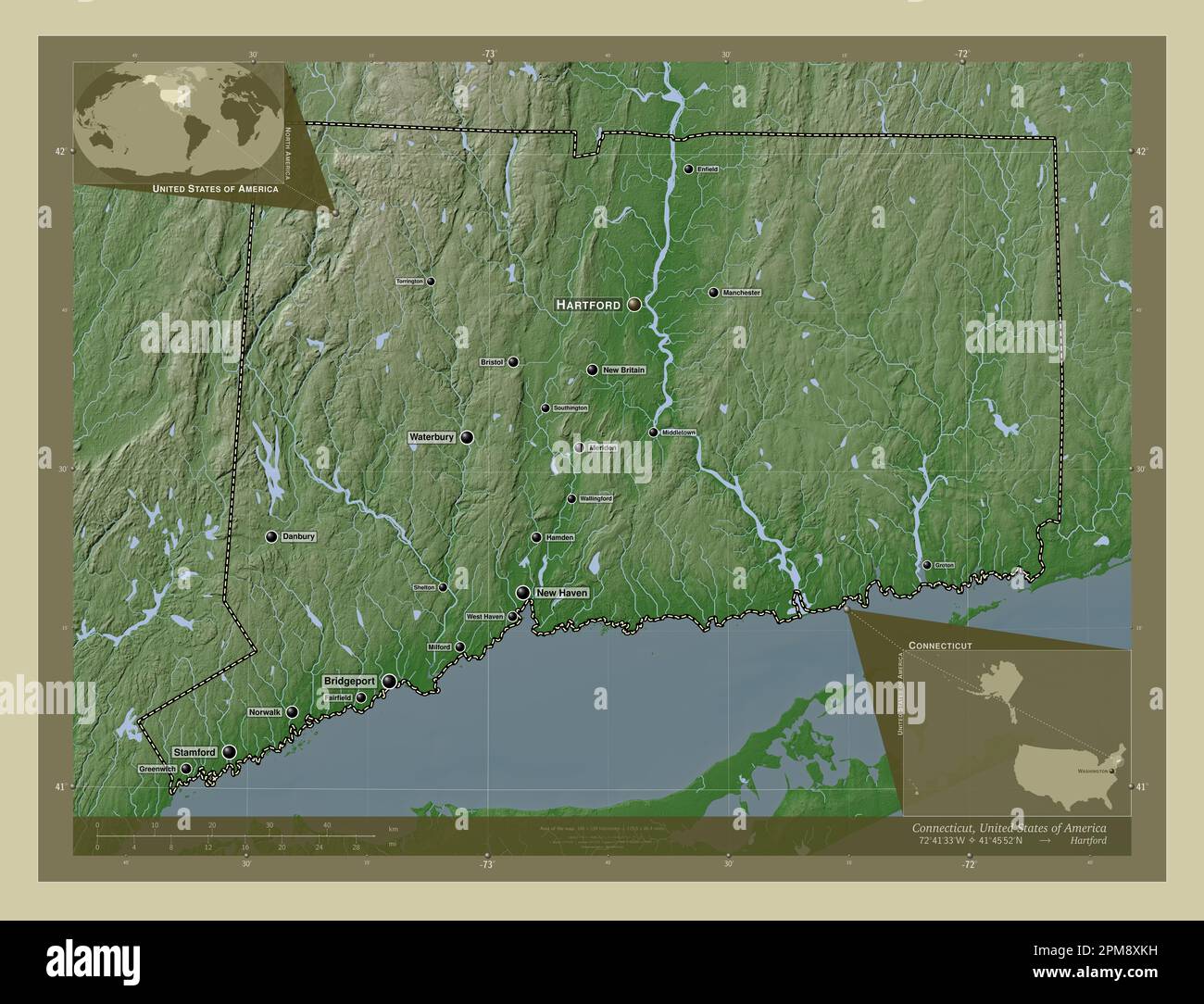 Connecticut, state of United States of America. Elevation map colored in wiki style with lakes and rivers. Locations and names of major cities of the Stock Photohttps://www.alamy.com/image-license-details/?v=1https://www.alamy.com/connecticut-state-of-united-states-of-america-elevation-map-colored-in-wiki-style-with-lakes-and-rivers-locations-and-names-of-major-cities-of-the-image546011077.html
RF2PM8XKH–Connecticut, state of United States of America. Elevation map colored in wiki style with lakes and rivers. Locations and names of major cities of the
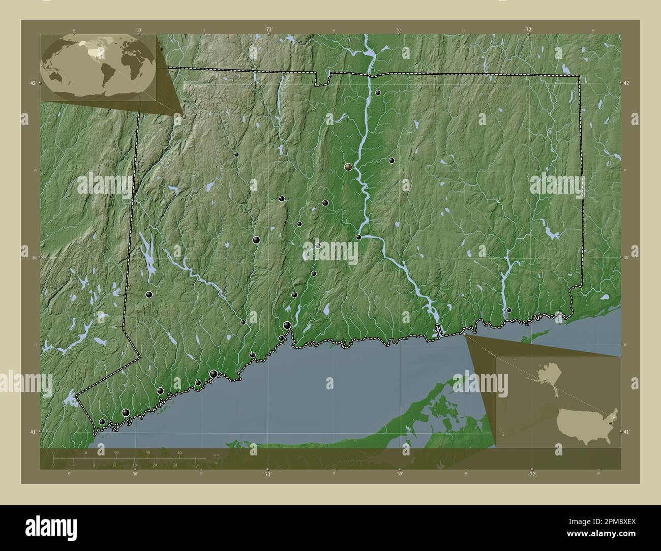 Connecticut, state of United States of America. Elevation map colored in wiki style with lakes and rivers. Locations of major cities of the region. Co Stock Photohttps://www.alamy.com/image-license-details/?v=1https://www.alamy.com/connecticut-state-of-united-states-of-america-elevation-map-colored-in-wiki-style-with-lakes-and-rivers-locations-of-major-cities-of-the-region-co-image546010946.html
RF2PM8XEX–Connecticut, state of United States of America. Elevation map colored in wiki style with lakes and rivers. Locations of major cities of the region. Co
 Connecticut, state of United States of America. Elevation map colored in sepia tones with lakes and rivers. Locations of major cities of the region. C Stock Photohttps://www.alamy.com/image-license-details/?v=1https://www.alamy.com/connecticut-state-of-united-states-of-america-elevation-map-colored-in-sepia-tones-with-lakes-and-rivers-locations-of-major-cities-of-the-region-c-image546010942.html
RF2PM8XEP–Connecticut, state of United States of America. Elevation map colored in sepia tones with lakes and rivers. Locations of major cities of the region. C
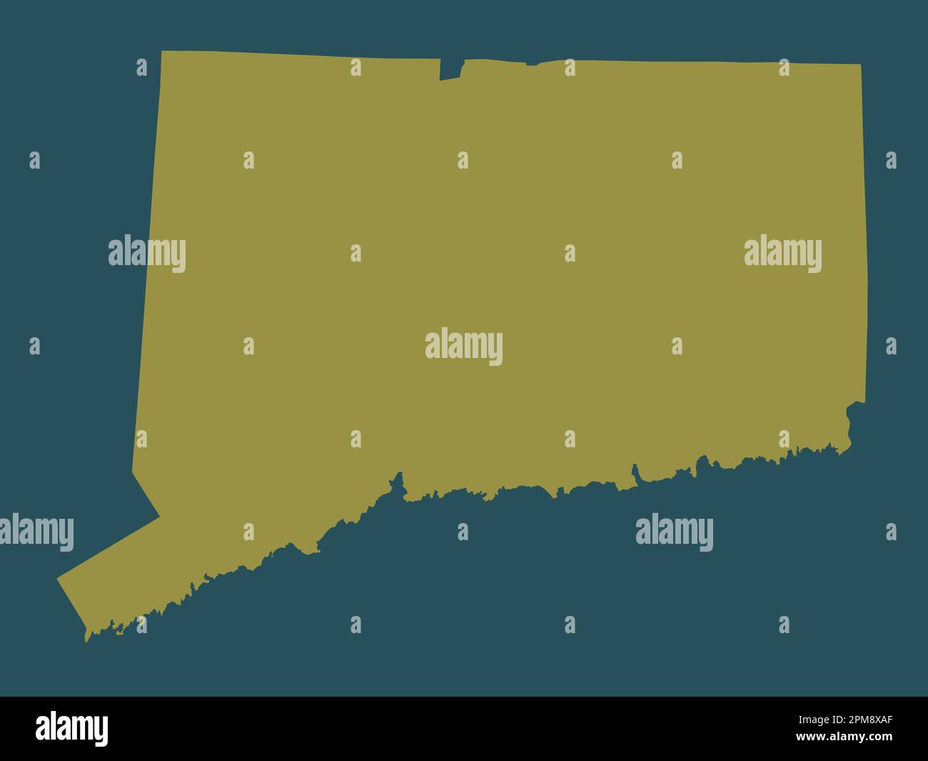 Connecticut, state of United States of America. Solid color shape Stock Photohttps://www.alamy.com/image-license-details/?v=1https://www.alamy.com/connecticut-state-of-united-states-of-america-solid-color-shape-image546010823.html
RF2PM8XAF–Connecticut, state of United States of America. Solid color shape
 Connecticut, state of United States of America. Solid color shape. Locations of major cities of the region. Corner auxiliary location maps Stock Photohttps://www.alamy.com/image-license-details/?v=1https://www.alamy.com/connecticut-state-of-united-states-of-america-solid-color-shape-locations-of-major-cities-of-the-region-corner-auxiliary-location-maps-image546010822.html
RF2PM8XAE–Connecticut, state of United States of America. Solid color shape. Locations of major cities of the region. Corner auxiliary location maps
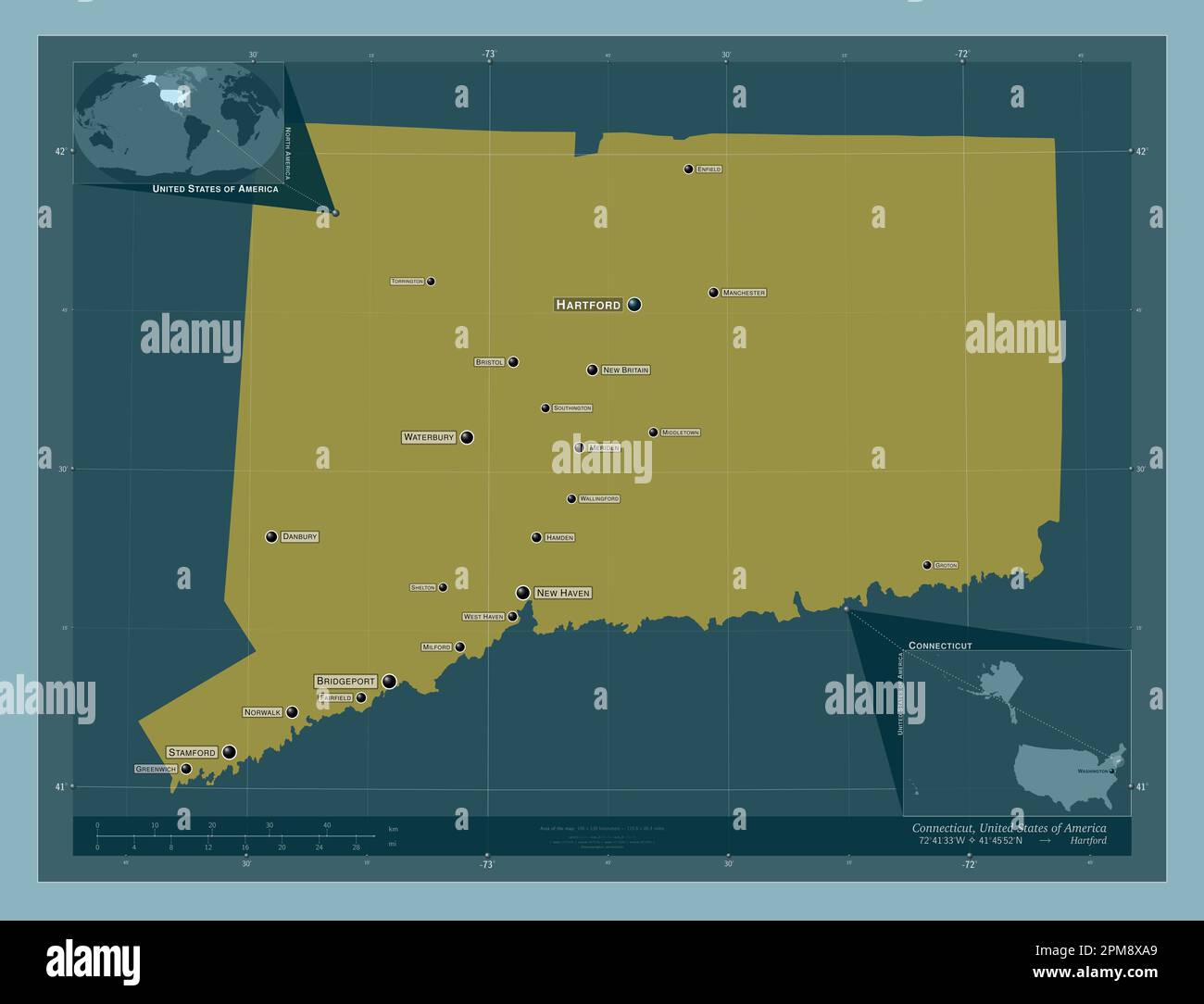 Connecticut, state of United States of America. Solid color shape. Locations and names of major cities of the region. Corner auxiliary location maps Stock Photohttps://www.alamy.com/image-license-details/?v=1https://www.alamy.com/connecticut-state-of-united-states-of-america-solid-color-shape-locations-and-names-of-major-cities-of-the-region-corner-auxiliary-location-maps-image546010817.html
RF2PM8XA9–Connecticut, state of United States of America. Solid color shape. Locations and names of major cities of the region. Corner auxiliary location maps