World map vector detailed Stock Photos and Images
(23,274)See world map vector detailed stock video clipsQuick filters:
World map vector detailed Stock Photos and Images
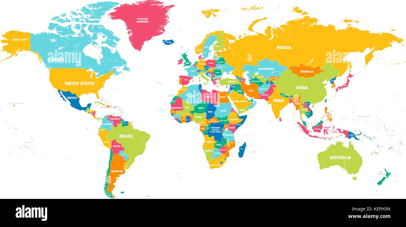 Colorful Hi detailed Vector world map complete with all countries names Stock Vectorhttps://www.alamy.com/image-license-details/?v=1https://www.alamy.com/stock-image-colorful-hi-detailed-vector-world-map-complete-with-all-countries-163841209.html
RFKEFH3N–Colorful Hi detailed Vector world map complete with all countries names
 Detailed map of the world oceans and continents Stock Photohttps://www.alamy.com/image-license-details/?v=1https://www.alamy.com/detailed-map-of-the-world-oceans-and-continents-image632421915.html
RF2YMW8GY–Detailed map of the world oceans and continents
 A picture of world map with selective focus Stock Photohttps://www.alamy.com/image-license-details/?v=1https://www.alamy.com/a-picture-of-world-map-with-selective-focus-image382056468.html
RF2D5G4WT–A picture of world map with selective focus
 a very detailed map of the world in a modern and clean circle design Stock Photohttps://www.alamy.com/image-license-details/?v=1https://www.alamy.com/a-very-detailed-map-of-the-world-in-a-modern-and-clean-circle-design-image476292394.html
RF2JJTYPJ–a very detailed map of the world in a modern and clean circle design
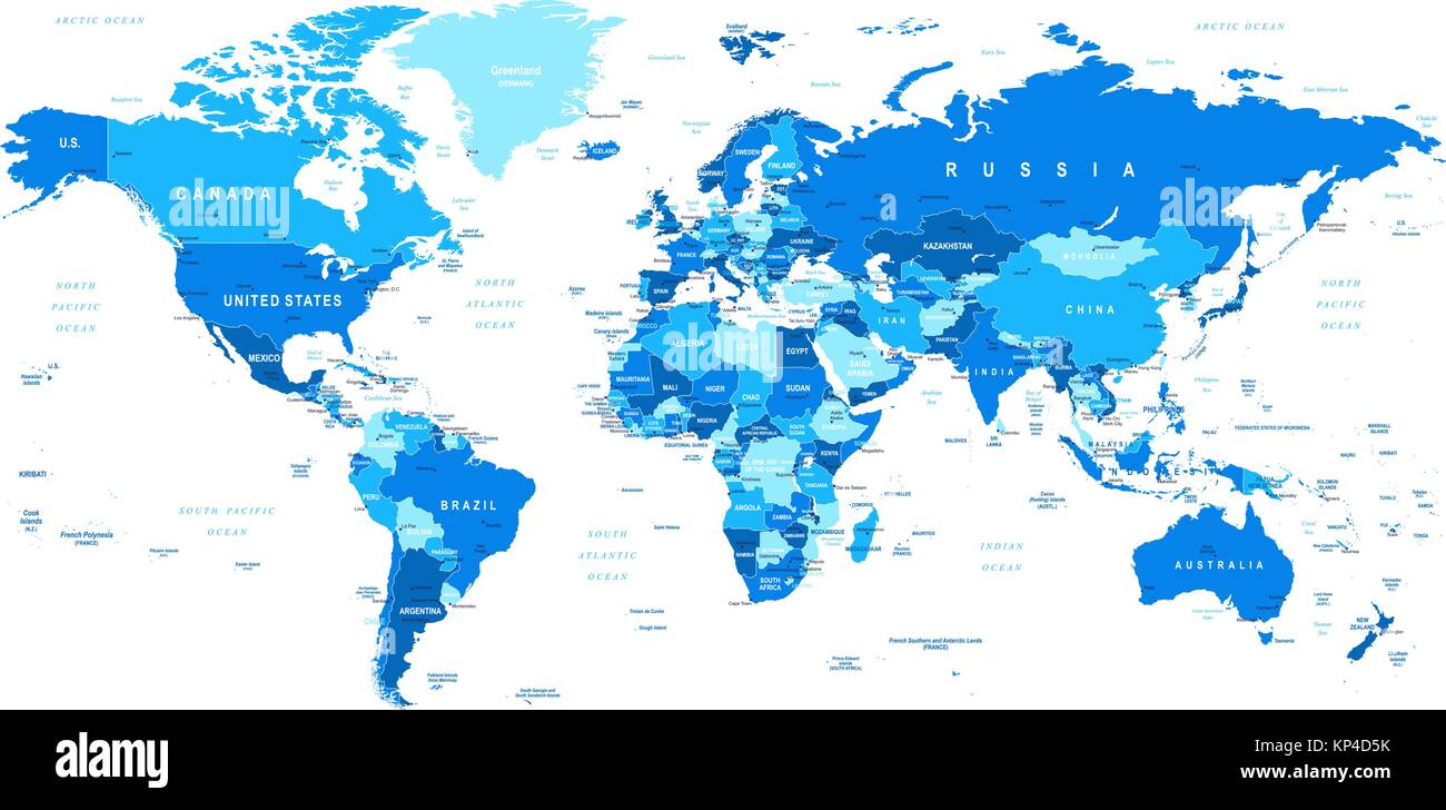 Highly detailed vector illustration of world map. Stock Vectorhttps://www.alamy.com/image-license-details/?v=1https://www.alamy.com/stock-image-highly-detailed-vector-illustration-of-world-map-168513903.html
RFKP4D5K–Highly detailed vector illustration of world map.
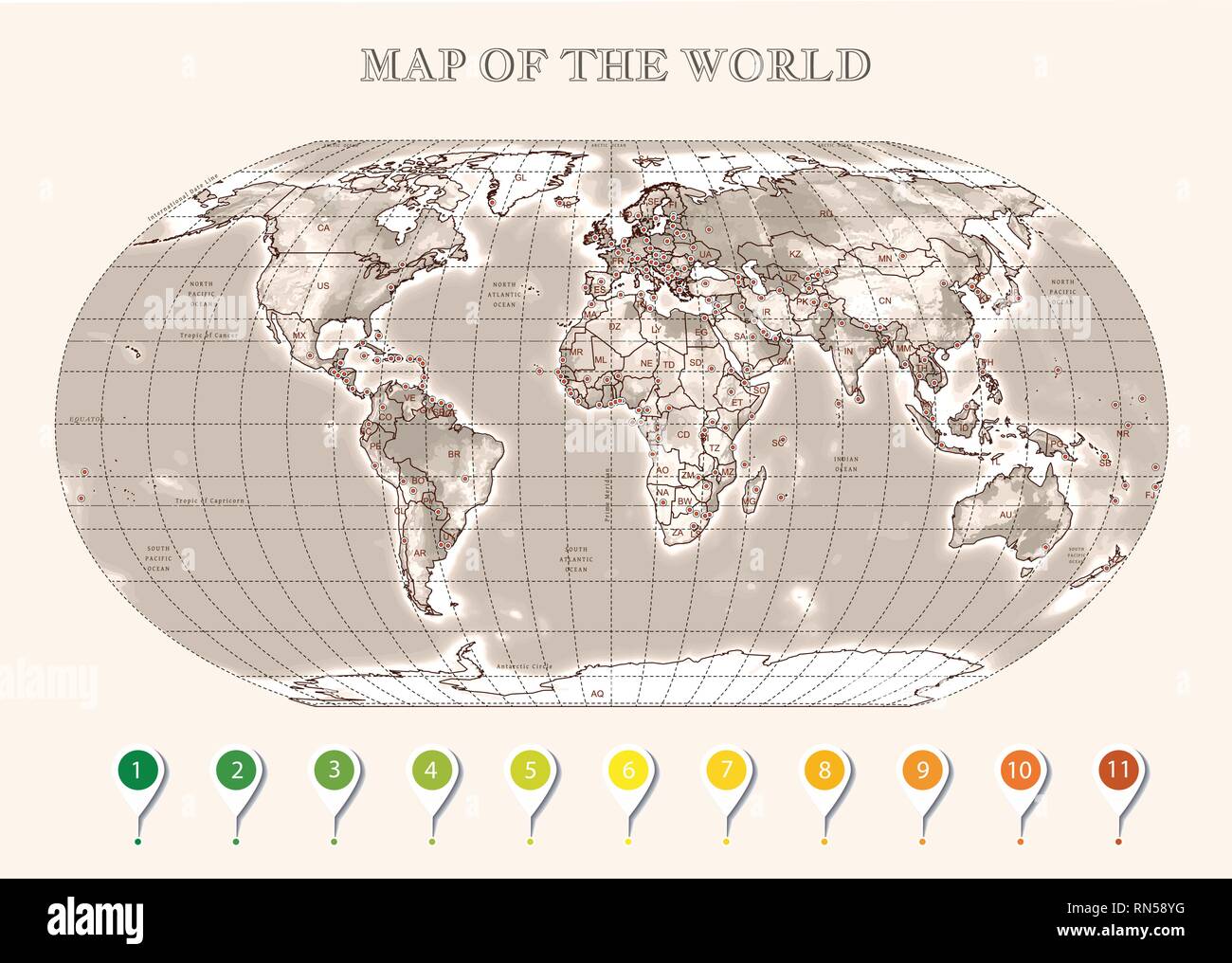 Physical map of the World with outlines, major capitals, infographic Stock Vectorhttps://www.alamy.com/image-license-details/?v=1https://www.alamy.com/physical-map-of-the-world-with-outlines-major-capitals-infographic-image236759364.html
RFRN58YG–Physical map of the World with outlines, major capitals, infographic
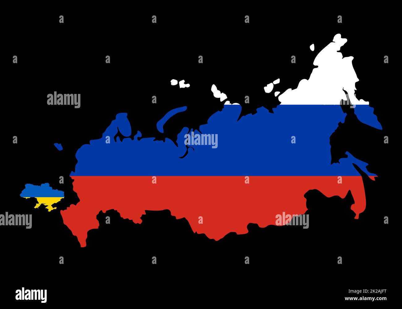 Big Russia versus small Ukraine. Compare sizes of countries map on world map. Borders of Russia and Ukraine. Representation of limits on the possibility of war. Russia started massive attack Ukraine. Stock Photohttps://www.alamy.com/image-license-details/?v=1https://www.alamy.com/big-russia-versus-small-ukraine-compare-sizes-of-countries-map-on-world-map-borders-of-russia-and-ukraine-representation-of-limits-on-the-possibility-of-war-russia-started-massive-attack-ukraine-image483353692.html
RF2K2AJFT–Big Russia versus small Ukraine. Compare sizes of countries map on world map. Borders of Russia and Ukraine. Representation of limits on the possibility of war. Russia started massive attack Ukraine.
 High detailed flag of Australia. National Australia flag. Oceania. 3D illustration. Stock Photohttps://www.alamy.com/image-license-details/?v=1https://www.alamy.com/high-detailed-flag-of-australia-national-australia-flag-oceania-3d-illustration-image591737727.html
RF2WAKYE7–High detailed flag of Australia. National Australia flag. Oceania. 3D illustration.
 World map isolated on white background ,image Stock Photohttps://www.alamy.com/image-license-details/?v=1https://www.alamy.com/world-map-isolated-on-white-background-image-image483461732.html
RF2K2FGAC–World map isolated on white background ,image
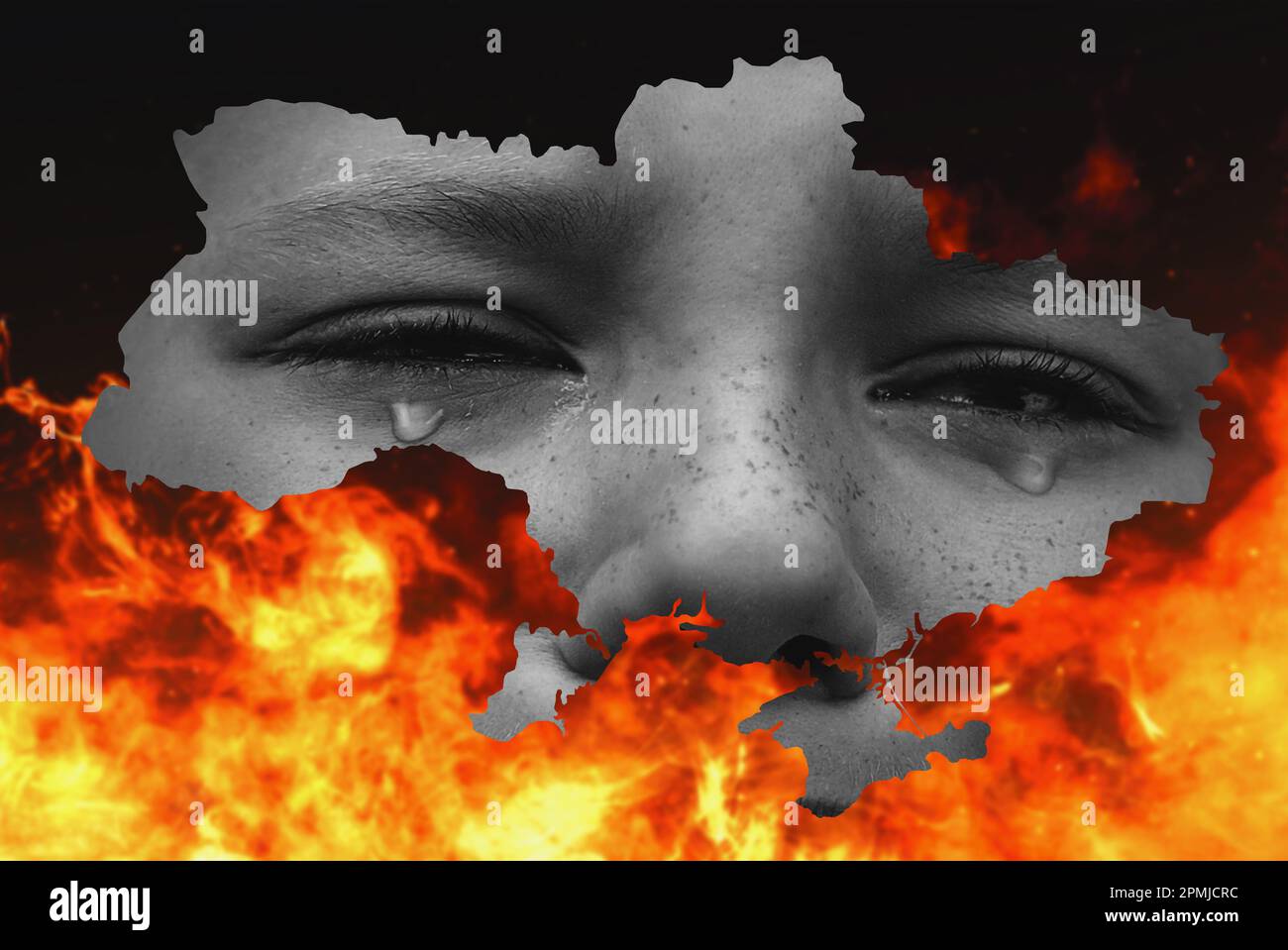 War between Russia and Ukraine. Map of Ukraine on fire. stop the war Stock Photohttps://www.alamy.com/image-license-details/?v=1https://www.alamy.com/war-between-russia-and-ukraine-map-of-ukraine-on-fire-stop-the-war-image546219728.html
RF2PMJCRC–War between Russia and Ukraine. Map of Ukraine on fire. stop the war
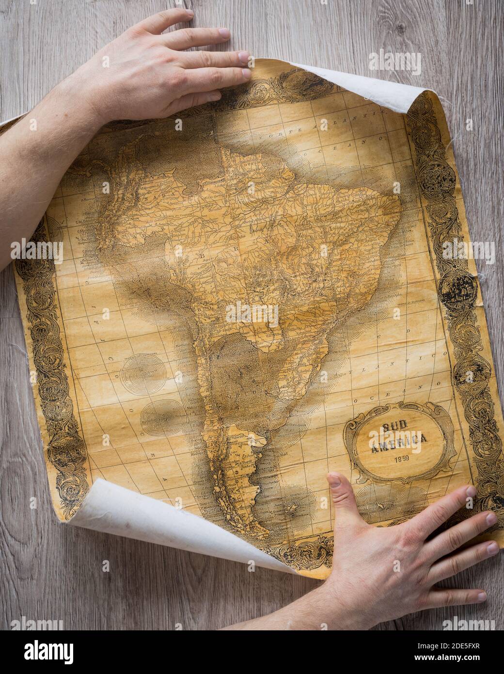 Old map of South America from 1859. The map shows the contemporary borders of the Countries. Stock Photohttps://www.alamy.com/image-license-details/?v=1https://www.alamy.com/old-map-of-south-america-from-1859-the-map-shows-the-contemporary-borders-of-the-countries-image387355551.html
RF2DE5FXR–Old map of South America from 1859. The map shows the contemporary borders of the Countries.
 Blue push pin pointing at Kazakhstan on a political world map Stock Photohttps://www.alamy.com/image-license-details/?v=1https://www.alamy.com/blue-push-pin-pointing-at-kazakhstan-on-a-political-world-map-image470723114.html
RF2J9R83P–Blue push pin pointing at Kazakhstan on a political world map
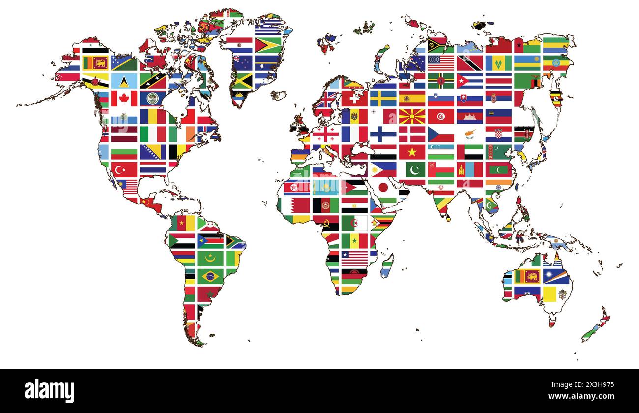 World map and World flag collection. World map and world flag collection used for background drawing by illustration Stock Photohttps://www.alamy.com/image-license-details/?v=1https://www.alamy.com/world-map-and-world-flag-collection-world-map-and-world-flag-collection-used-for-background-drawing-by-illustration-image604587289.html
RF2X3H975–World map and World flag collection. World map and world flag collection used for background drawing by illustration
 vintage map Stock Photohttps://www.alamy.com/image-license-details/?v=1https://www.alamy.com/vintage-map-image212361453.html
RMP9DW5H–vintage map
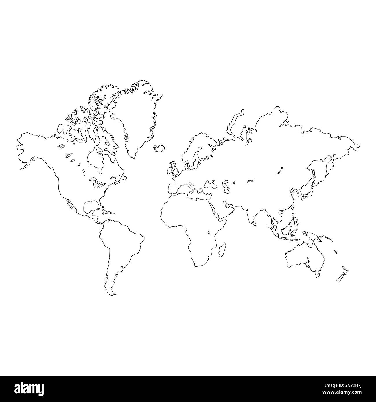 Outline of a detailed world map isolated on white background. All parts of the world with a detailed edge. Vector EPS10. Stock Photohttps://www.alamy.com/image-license-details/?v=1https://www.alamy.com/outline-of-a-detailed-world-map-isolated-on-white-background-all-parts-of-the-world-with-a-detailed-edge-vector-eps10-image446868454.html
RF2GY0H7J–Outline of a detailed world map isolated on white background. All parts of the world with a detailed edge. Vector EPS10.
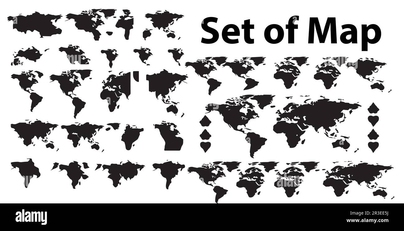 A set of silhouette world map vector illustrations. Stock Vectorhttps://www.alamy.com/image-license-details/?v=1https://www.alamy.com/a-set-of-silhouette-world-map-vector-illustrations-image552894206.html
RF2R3EE5J–A set of silhouette world map vector illustrations.
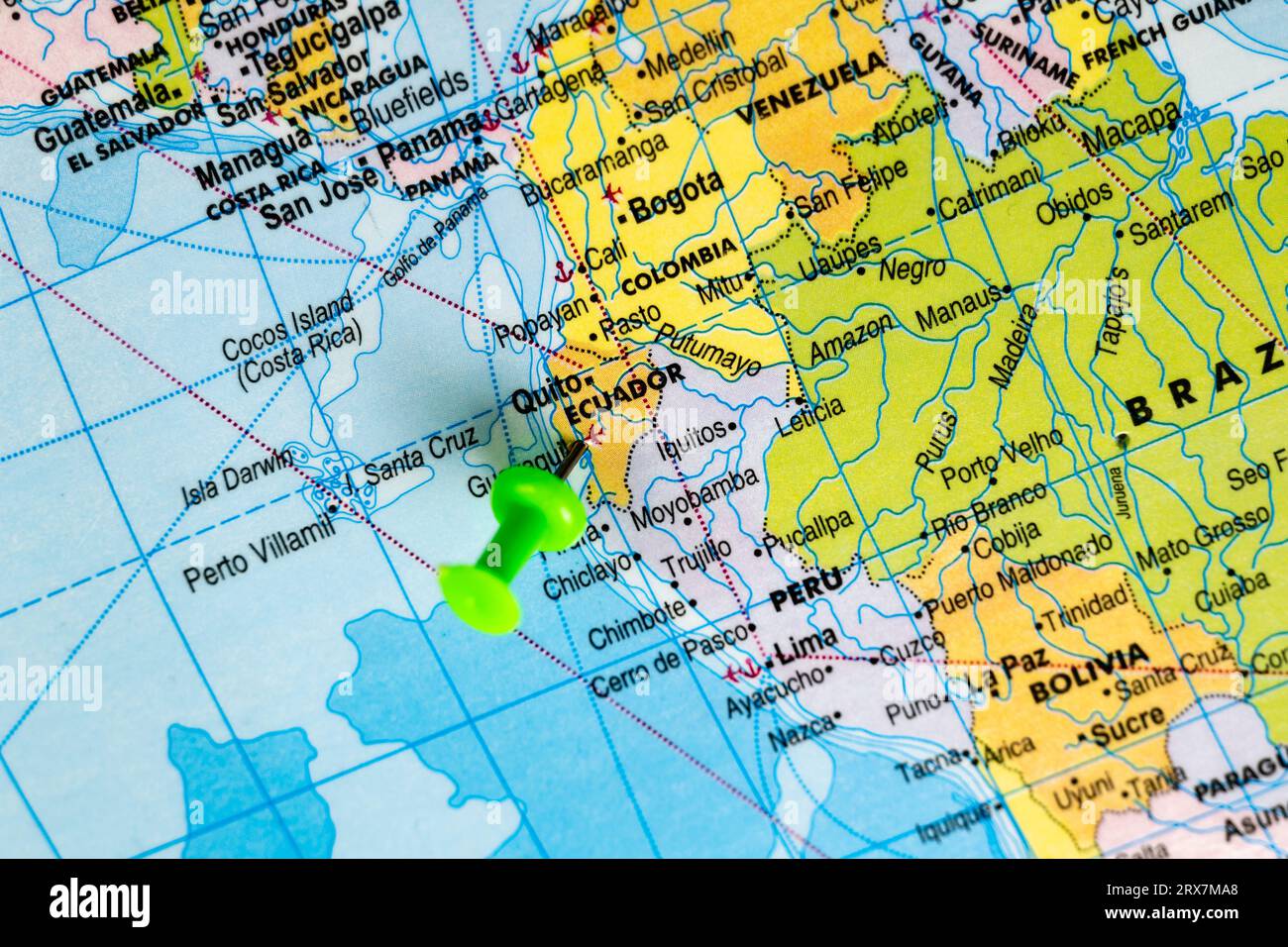 This stock image shows the location of Ecuador on a world map Stock Photohttps://www.alamy.com/image-license-details/?v=1https://www.alamy.com/this-stock-image-shows-the-location-of-ecuador-on-a-world-map-image566882464.html
RF2RX7MA8–This stock image shows the location of Ecuador on a world map
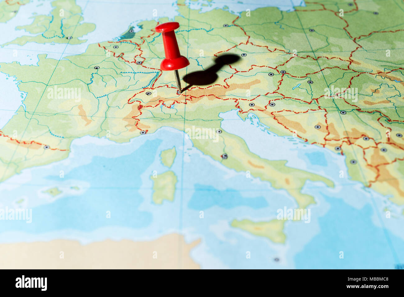 Red pin on a map pointing Liechtenstein Stock Photohttps://www.alamy.com/image-license-details/?v=1https://www.alamy.com/red-pin-on-a-map-pointing-liechtenstein-image179122392.html
RFMBBMC8–Red pin on a map pointing Liechtenstein
RFMACPNA–tourism and camping icons detailed vector set
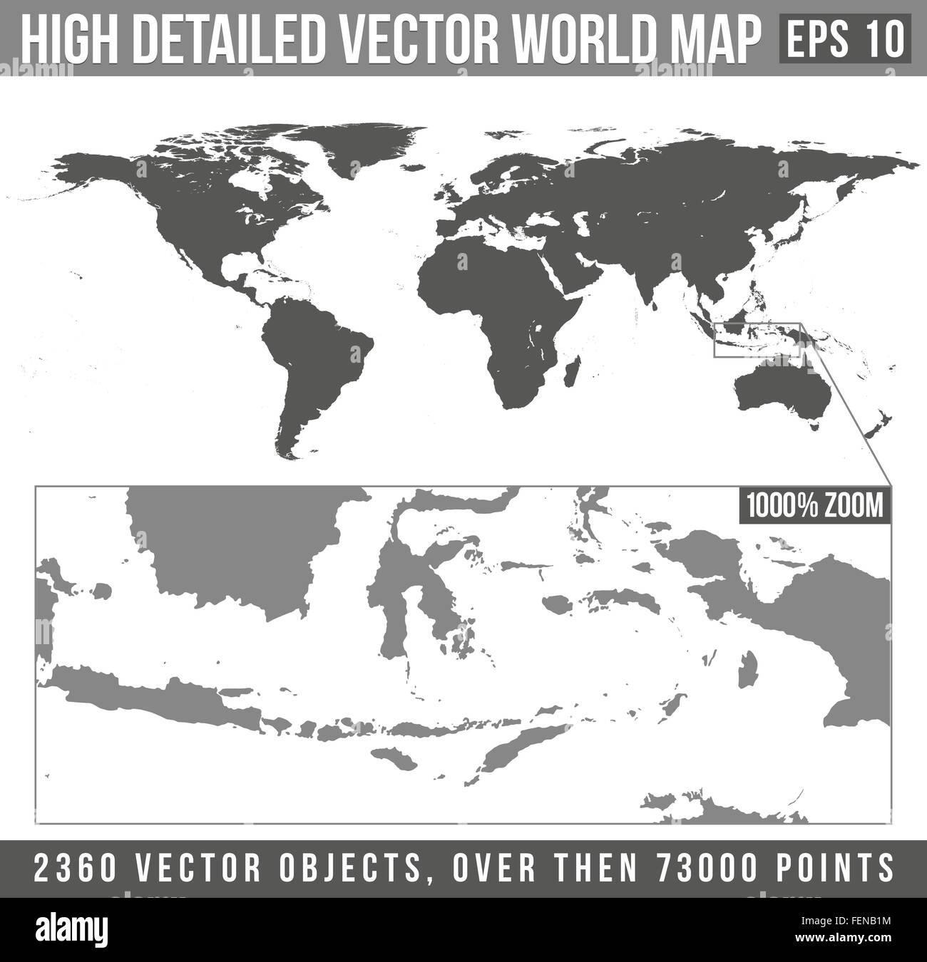 vector high detailed grey world map Stock Vectorhttps://www.alamy.com/image-license-details/?v=1https://www.alamy.com/stock-photo-vector-high-detailed-grey-world-map-95126688.html
RFFENB1M–vector high detailed grey world map
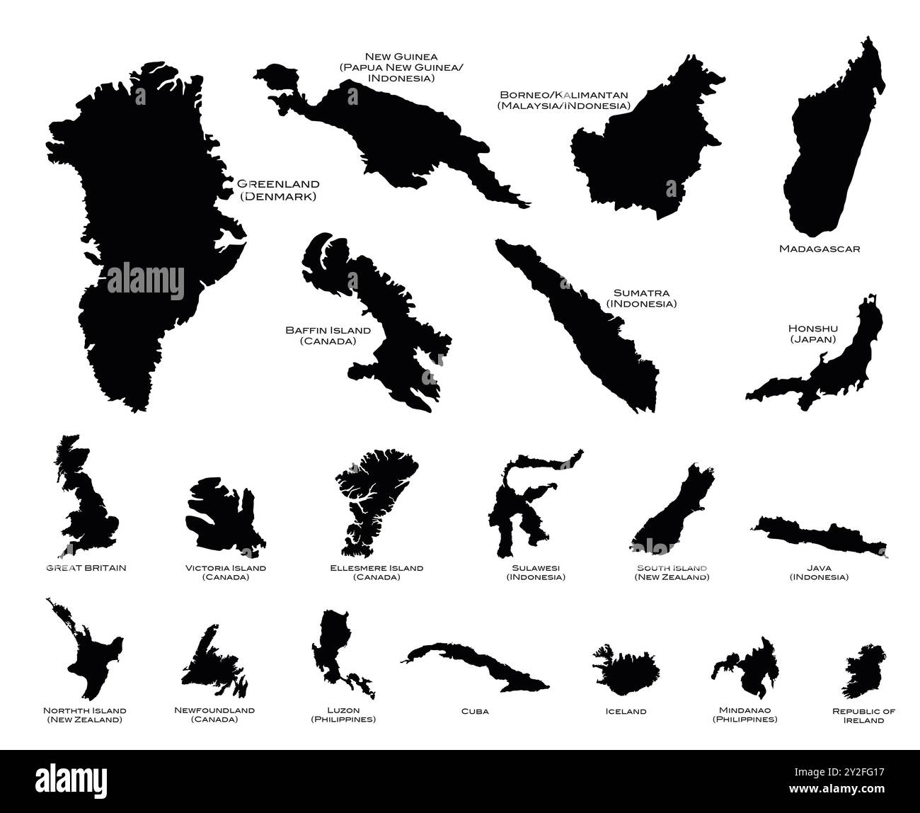 Black silhouette maps of the twenty largest islands in the world Stock Photohttps://www.alamy.com/image-license-details/?v=1https://www.alamy.com/black-silhouette-maps-of-the-twenty-largest-islands-in-the-world-image621144419.html
RF2Y2FG17–Black silhouette maps of the twenty largest islands in the world
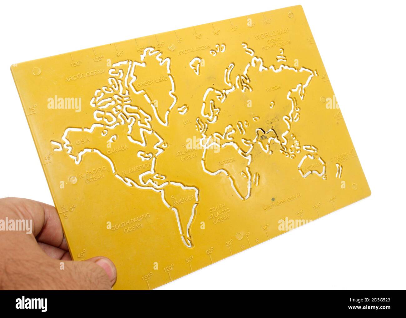 A picture of world map with selective focus Stock Photohttps://www.alamy.com/image-license-details/?v=1https://www.alamy.com/a-picture-of-world-map-with-selective-focus-image382056587.html
RF2D5G523–A picture of world map with selective focus
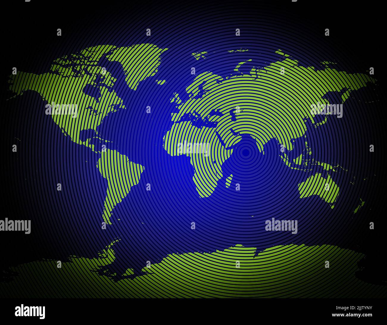 a very detailed map of the world includes antarctic in a modern and clean circle design Stock Photohttps://www.alamy.com/image-license-details/?v=1https://www.alamy.com/a-very-detailed-map-of-the-world-includes-antarctic-in-a-modern-and-clean-circle-design-image476292375.html
RF2JJTYNY–a very detailed map of the world includes antarctic in a modern and clean circle design
 An illustration of a blue earth map Stock Photohttps://www.alamy.com/image-license-details/?v=1https://www.alamy.com/an-illustration-of-a-blue-earth-map-image352875462.html
RM2BE2T72–An illustration of a blue earth map
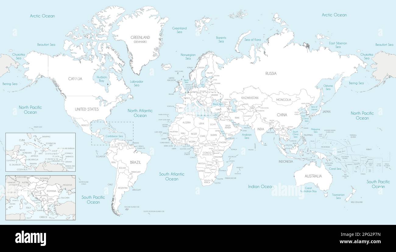 Highly detailed World Map vector illustration. Editable and clearly labeled layers. Stock Vectorhttps://www.alamy.com/image-license-details/?v=1https://www.alamy.com/highly-detailed-world-map-vector-illustration-editable-and-clearly-labeled-layers-image543417273.html
RF2PG2P7N–Highly detailed World Map vector illustration. Editable and clearly labeled layers.
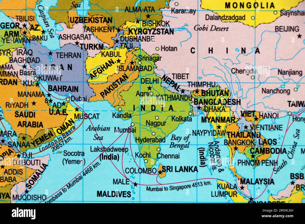 close up of a world map with asian side, India subcontinental in focus Stock Photohttps://www.alamy.com/image-license-details/?v=1https://www.alamy.com/close-up-of-a-world-map-with-asian-side-india-subcontinental-in-focus-image550939049.html
RF2R09CAH–close up of a world map with asian side, India subcontinental in focus
 High detailed flag of Australia. National Australia flag. Oceania. 3D illustration. Stock Photohttps://www.alamy.com/image-license-details/?v=1https://www.alamy.com/high-detailed-flag-of-australia-national-australia-flag-oceania-3d-illustration-image591737721.html
RF2WAKYE1–High detailed flag of Australia. National Australia flag. Oceania. 3D illustration.
 An illustration of a blue earth map Stock Photohttps://www.alamy.com/image-license-details/?v=1https://www.alamy.com/an-illustration-of-a-blue-earth-map-image218012456.html
RFPJK934–An illustration of a blue earth map
 Crying Ukrainian child because of the war Stock Photohttps://www.alamy.com/image-license-details/?v=1https://www.alamy.com/crying-ukrainian-child-because-of-the-war-image548913978.html
RF2PW15AJ–Crying Ukrainian child because of the war
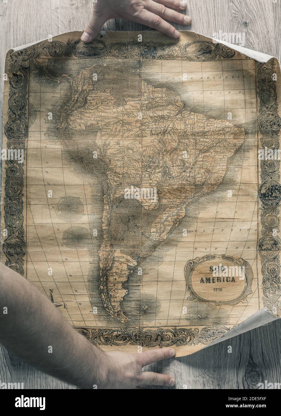 Old map of South America from 1859. The map shows the contemporary borders of the Countries. Stock Photohttps://www.alamy.com/image-license-details/?v=1https://www.alamy.com/old-map-of-south-america-from-1859-the-map-shows-the-contemporary-borders-of-the-countries-image387355543.html
RF2DE5FXF–Old map of South America from 1859. The map shows the contemporary borders of the Countries.
 Blue push pin pointing at Colombia on a political world map Stock Photohttps://www.alamy.com/image-license-details/?v=1https://www.alamy.com/blue-push-pin-pointing-at-colombia-on-a-political-world-map-image470723506.html
RF2J9R8HP–Blue push pin pointing at Colombia on a political world map
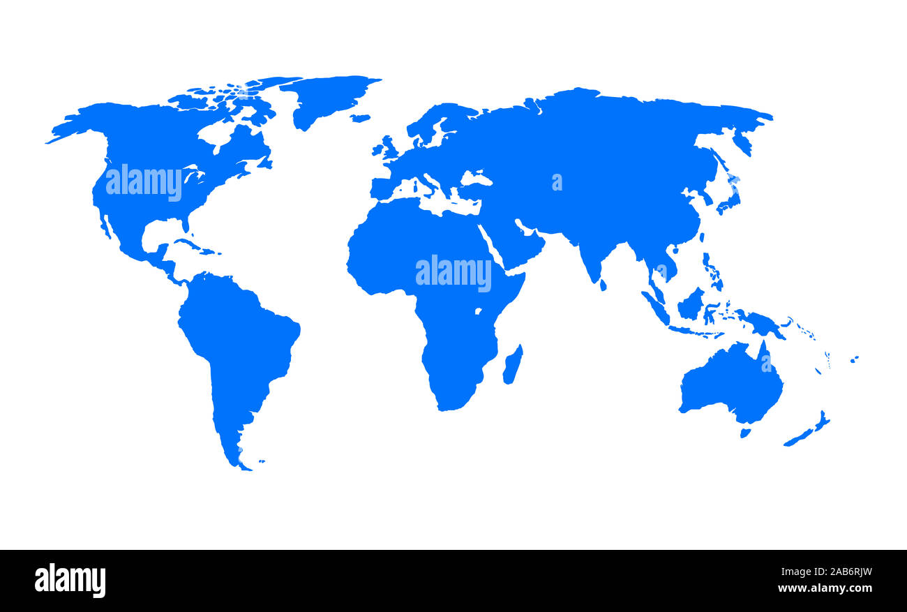 An illustration of a blue earth map Stock Photohttps://www.alamy.com/image-license-details/?v=1https://www.alamy.com/an-illustration-of-a-blue-earth-map-image333908481.html
RM2AB6RJW–An illustration of a blue earth map
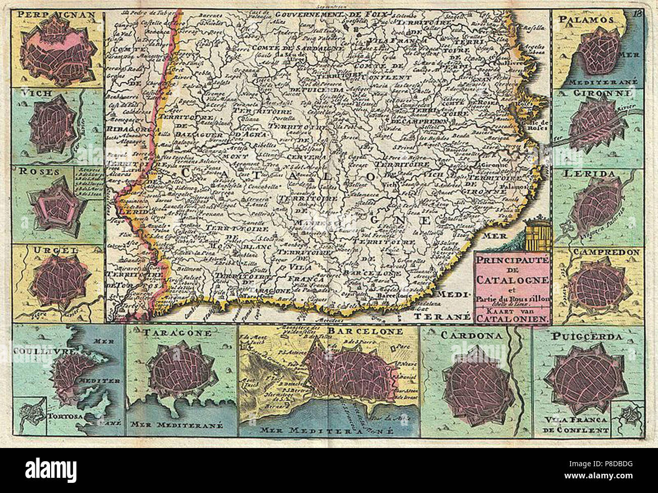 vintage map Stock Photohttps://www.alamy.com/image-license-details/?v=1https://www.alamy.com/vintage-map-image211736044.html
RMP8DBDG–vintage map
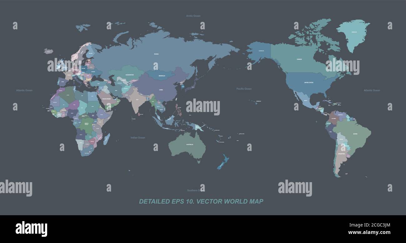 Detailed world map with country border and named. Stock Vectorhttps://www.alamy.com/image-license-details/?v=1https://www.alamy.com/detailed-world-map-with-country-border-and-named-image371518524.html
RF2CGC3JM–Detailed world map with country border and named.
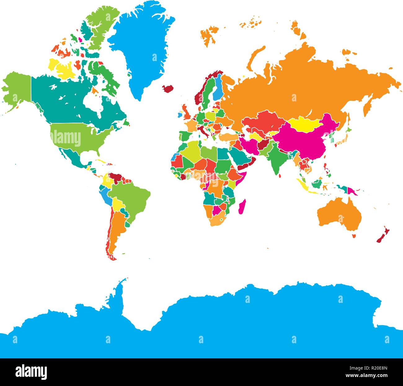 Colorful World Map. Vector illustration for quardic formats. Stock Vectorhttps://www.alamy.com/image-license-details/?v=1https://www.alamy.com/colorful-world-map-vector-illustration-for-quardic-formats-image224975317.html
RFR20E8N–Colorful World Map. Vector illustration for quardic formats.
 This stock image shows the location of South Africa on a world map Stock Photohttps://www.alamy.com/image-license-details/?v=1https://www.alamy.com/this-stock-image-shows-the-location-of-south-africa-on-a-world-map-image566882832.html
RF2RX7MRC–This stock image shows the location of South Africa on a world map
 Vector Blank gray cut out carved in crumpled paper similar World map isolated on white background. Worldmap template design infographics. Flat Earth G Stock Vectorhttps://www.alamy.com/image-license-details/?v=1https://www.alamy.com/stock-photo-vector-blank-gray-cut-out-carved-in-crumpled-paper-similar-world-map-145157608.html
RFJC4E08–Vector Blank gray cut out carved in crumpled paper similar World map isolated on white background. Worldmap template design infographics. Flat Earth G
 vector high detailed world map Stock Vectorhttps://www.alamy.com/image-license-details/?v=1https://www.alamy.com/vector-high-detailed-world-map-image245983881.html
RFT85EXH–vector high detailed world map
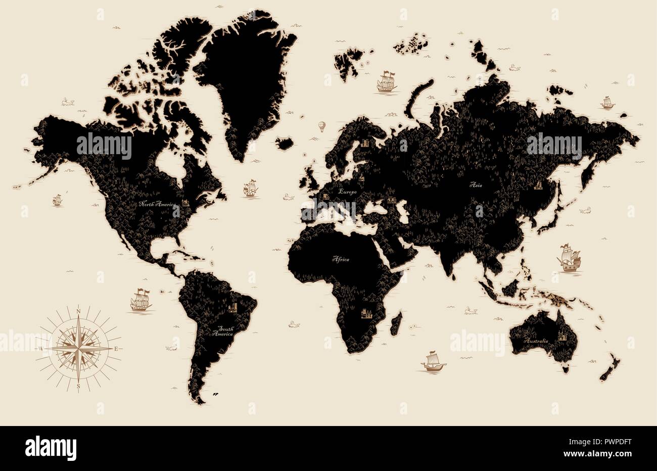 Decorative old map of the world detailed vector illustration Stock Vectorhttps://www.alamy.com/image-license-details/?v=1https://www.alamy.com/decorative-old-map-of-the-world-detailed-vector-illustration-image222384396.html
RFPWPDFT–Decorative old map of the world detailed vector illustration
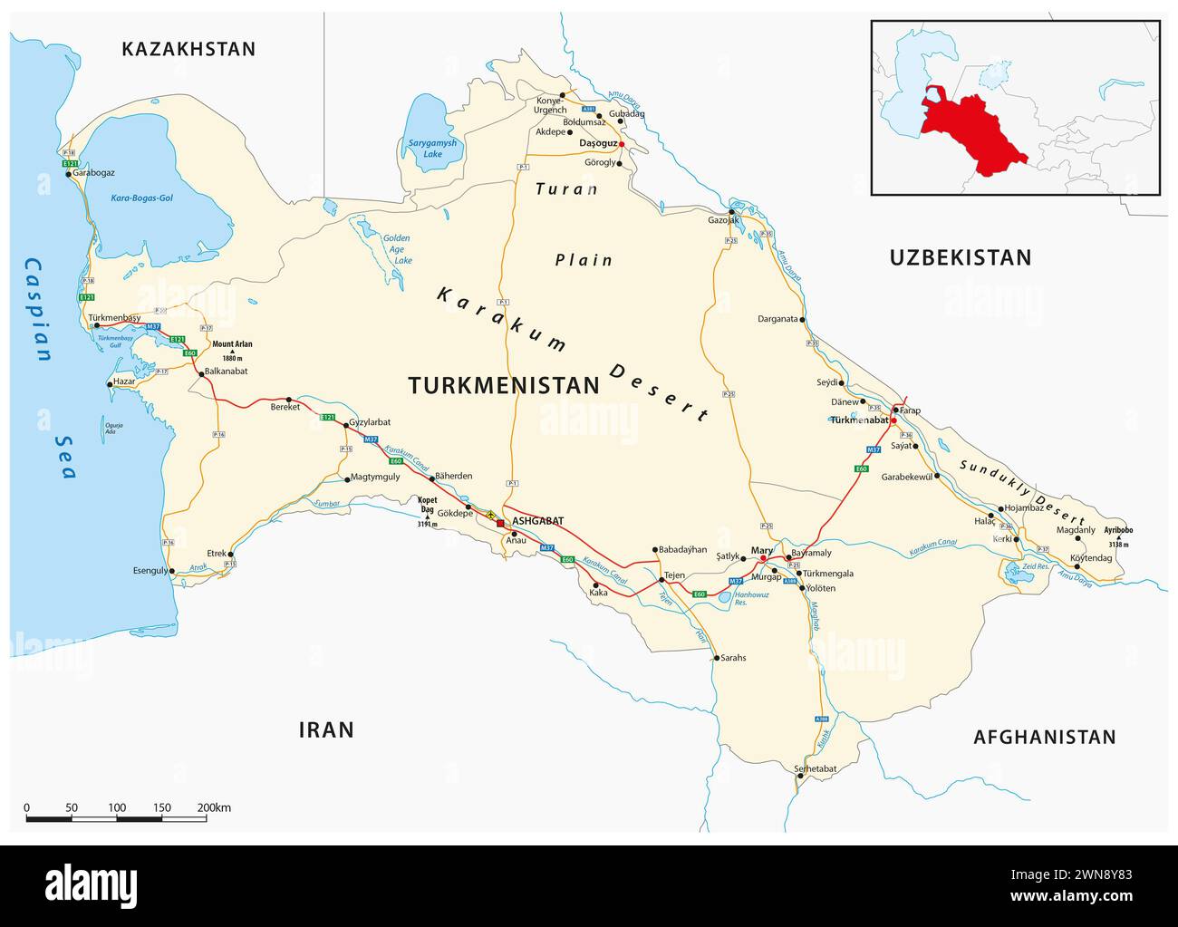 Vector road map of the Central Asian state of Turkmenistan Stock Photohttps://www.alamy.com/image-license-details/?v=1https://www.alamy.com/vector-road-map-of-the-central-asian-state-of-turkmenistan-image598257299.html
RF2WN8Y83–Vector road map of the Central Asian state of Turkmenistan
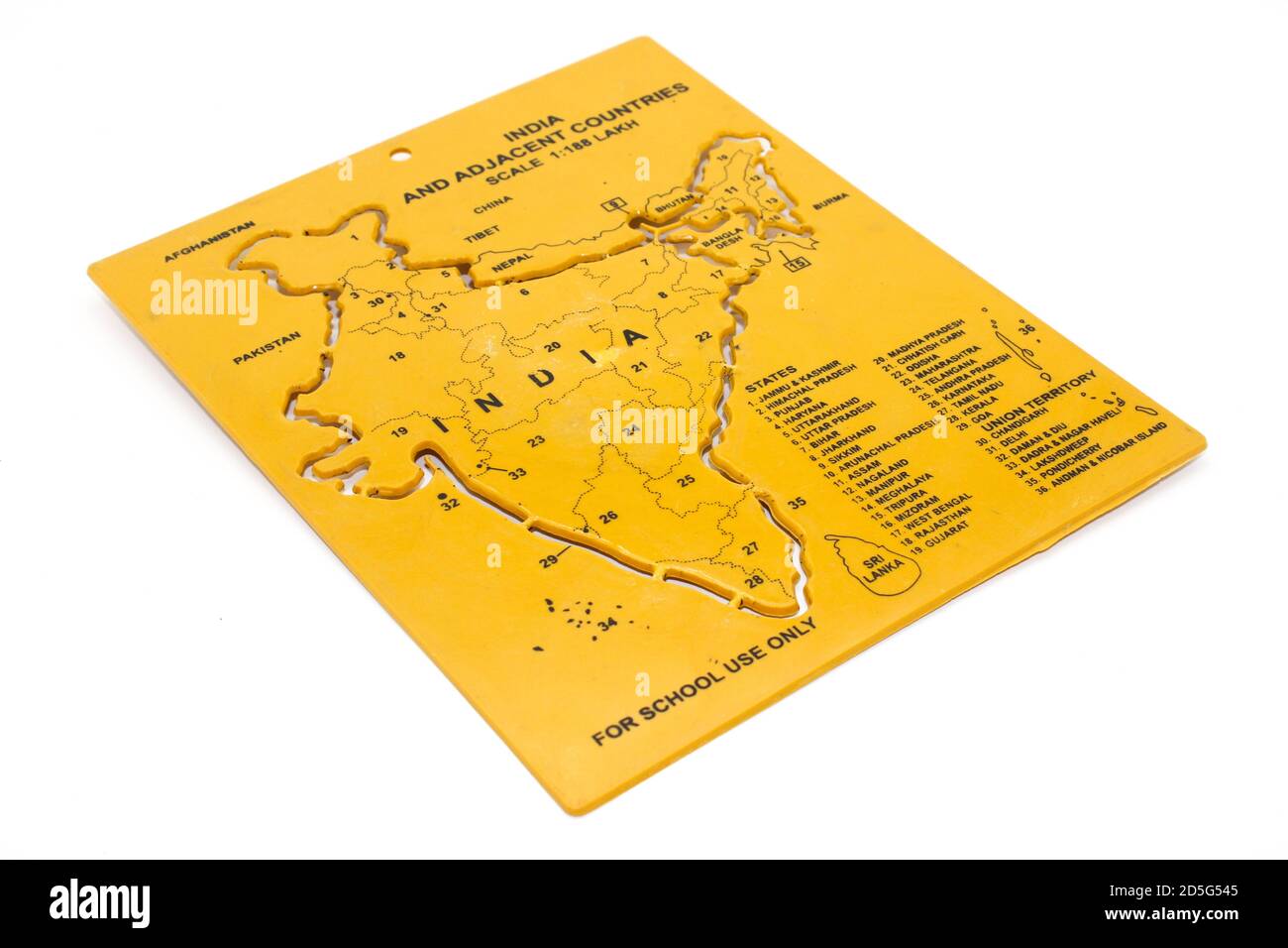 A picture of india map with selective focus Stock Photohttps://www.alamy.com/image-license-details/?v=1https://www.alamy.com/a-picture-of-india-map-with-selective-focus-image382056645.html
RF2D5G545–A picture of india map with selective focus
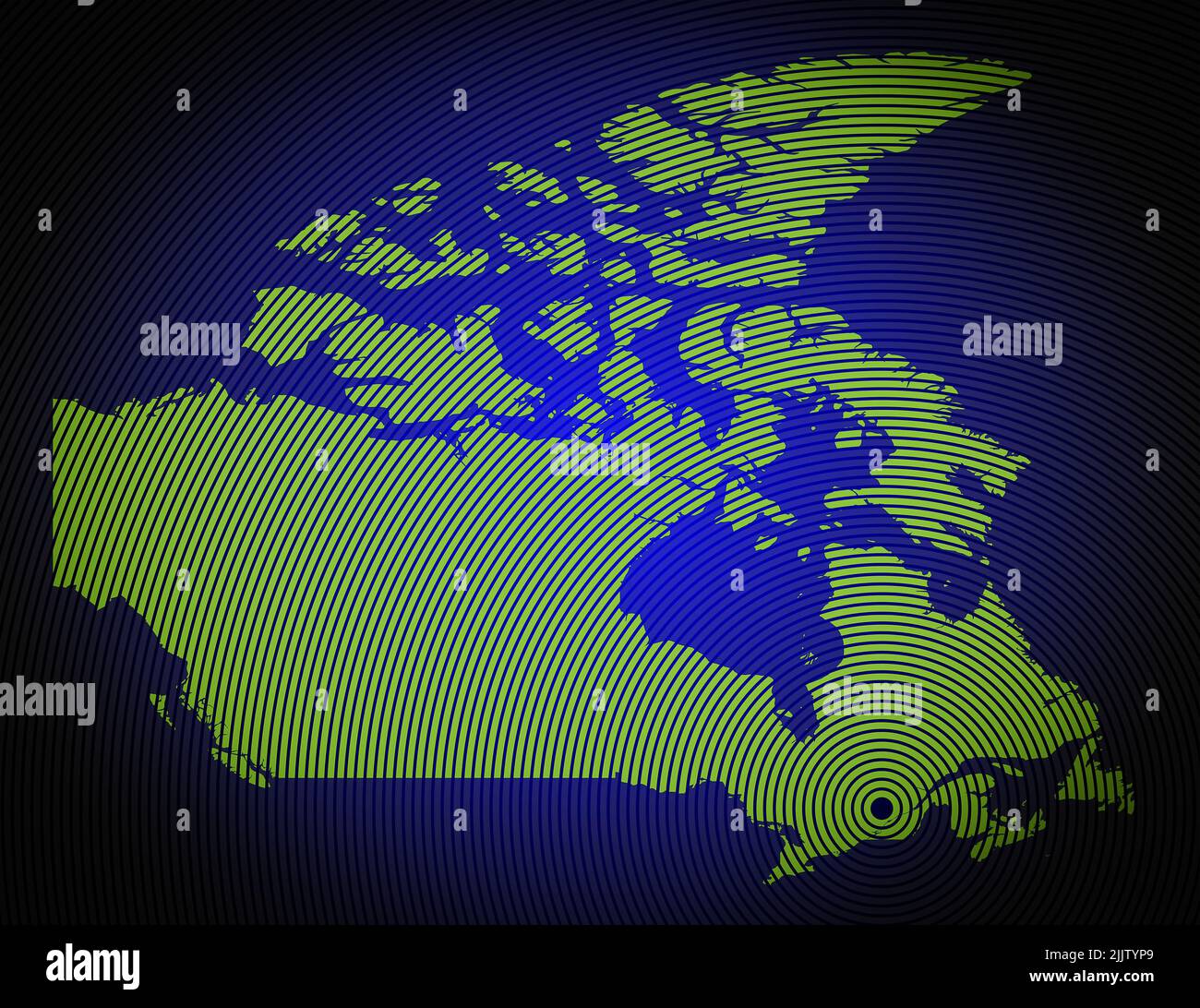 a very detailed map of canada in a modern and clean circle design Stock Photohttps://www.alamy.com/image-license-details/?v=1https://www.alamy.com/a-very-detailed-map-of-canada-in-a-modern-and-clean-circle-design-image476292385.html
RF2JJTYP9–a very detailed map of canada in a modern and clean circle design
 An illustration of a blue earth map Stock Photohttps://www.alamy.com/image-license-details/?v=1https://www.alamy.com/an-illustration-of-a-blue-earth-map-image333993378.html
RM2ABAKXX–An illustration of a blue earth map
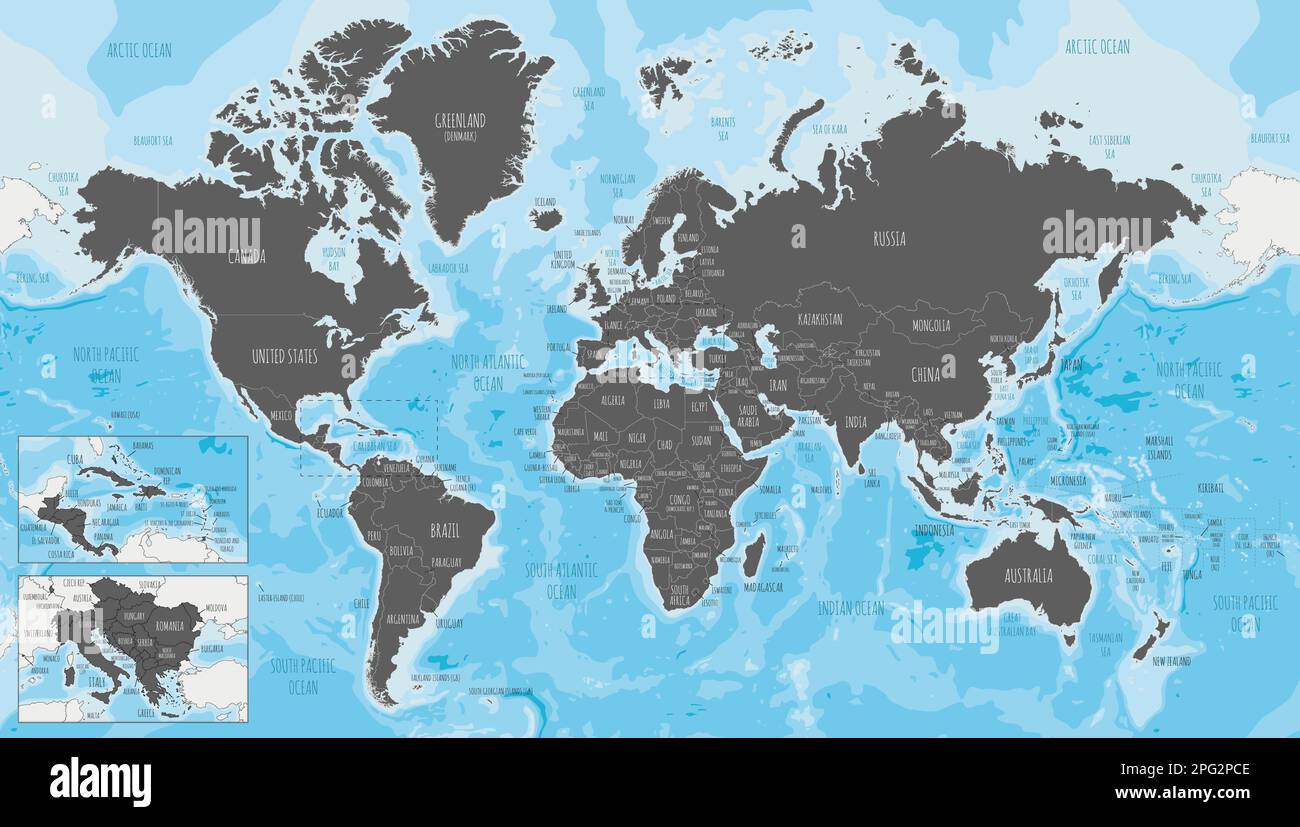 Highly detailed World Map vector illustration. Editable and clearly labeled layers. Stock Vectorhttps://www.alamy.com/image-license-details/?v=1https://www.alamy.com/highly-detailed-world-map-vector-illustration-editable-and-clearly-labeled-layers-image543417406.html
RF2PG2PCE–Highly detailed World Map vector illustration. Editable and clearly labeled layers.
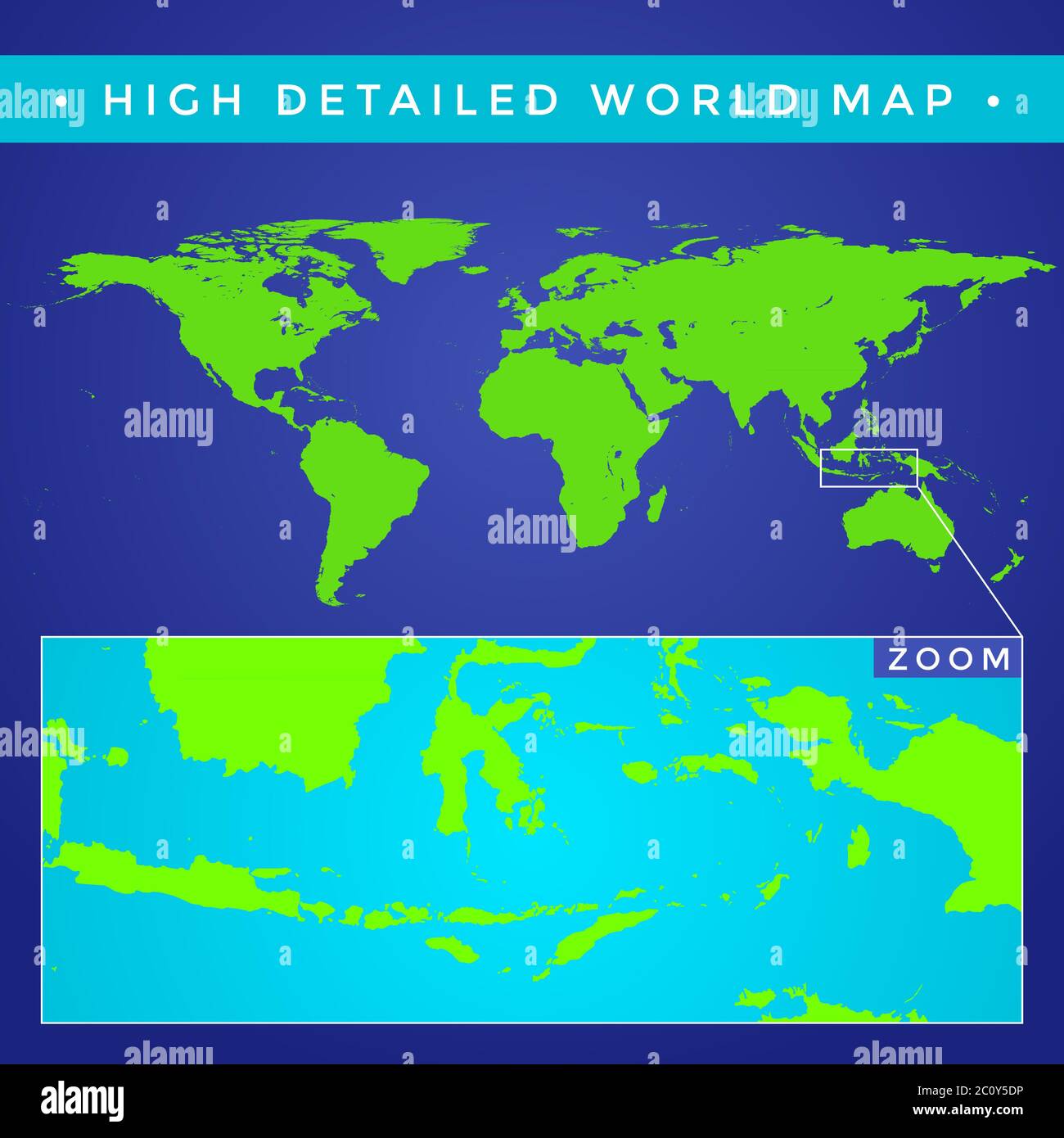 vector high detailed world map Stock Photohttps://www.alamy.com/image-license-details/?v=1https://www.alamy.com/vector-high-detailed-world-map-image362014738.html
RM2C0Y5DP–vector high detailed world map
 High detailed flag of Australia. National Australia flag. Oceania. 3D illustration. Stock Photohttps://www.alamy.com/image-license-details/?v=1https://www.alamy.com/high-detailed-flag-of-australia-national-australia-flag-oceania-3d-illustration-image591737718.html
RF2WAKYDX–High detailed flag of Australia. National Australia flag. Oceania. 3D illustration.
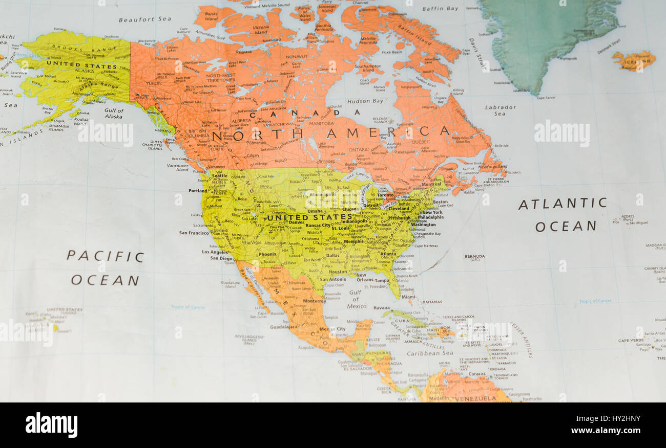 Map with North America, Pacific Ocean, and Atlantic Ocean. Stock Photohttps://www.alamy.com/image-license-details/?v=1https://www.alamy.com/stock-photo-map-with-north-america-pacific-ocean-and-atlantic-ocean-137126135.html
RFHY2HNY–Map with North America, Pacific Ocean, and Atlantic Ocean.
 Close up to a Hastings city with a white pin needle into New Zealand country political map Stock Photohttps://www.alamy.com/image-license-details/?v=1https://www.alamy.com/close-up-to-a-hastings-city-with-a-white-pin-needle-into-new-zealand-country-political-map-image618595649.html
RF2XXBD1N–Close up to a Hastings city with a white pin needle into New Zealand country political map
 World map with five continents. vector illustration Stock Vectorhttps://www.alamy.com/image-license-details/?v=1https://www.alamy.com/world-map-with-five-continents-vector-illustration-image259866774.html
RFW2NXM6–World map with five continents. vector illustration
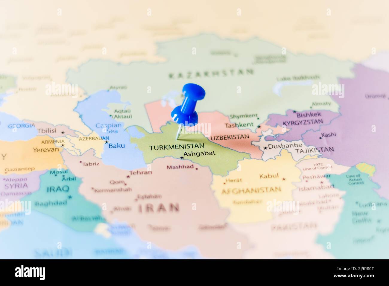 Blue push pin pointing at Turkmenistan on a political world map Stock Photohttps://www.alamy.com/image-license-details/?v=1https://www.alamy.com/blue-push-pin-pointing-at-turkmenistan-on-a-political-world-map-image470723032.html
RF2J9R80T–Blue push pin pointing at Turkmenistan on a political world map
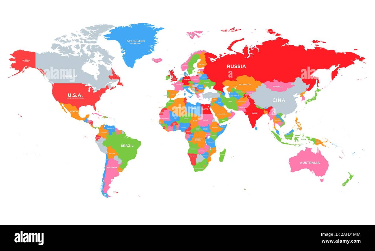 Colorful Hi detailed Vector world map complete with all countries names. Flat Earth, map template for web site pattern, annual report, infographics. Stock Vectorhttps://www.alamy.com/image-license-details/?v=1https://www.alamy.com/colorful-hi-detailed-vector-world-map-complete-with-all-countries-names-flat-earth-map-template-for-web-site-pattern-annual-report-infographics-image336503572.html
RF2AFD1MM–Colorful Hi detailed Vector world map complete with all countries names. Flat Earth, map template for web site pattern, annual report, infographics.
 vintage map Stock Photohttps://www.alamy.com/image-license-details/?v=1https://www.alamy.com/vintage-map-image211736056.html
RMP8DBE0–vintage map
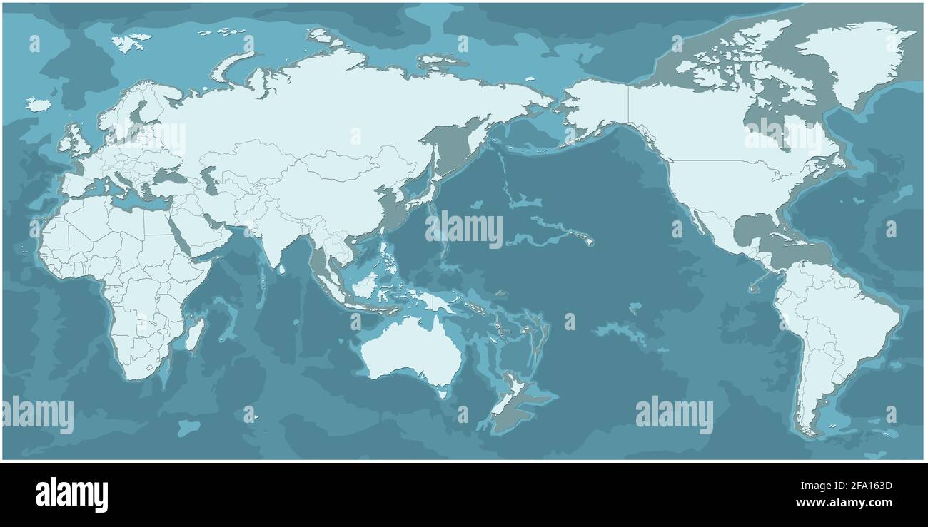 world map. modern topography world map vector. Stock Photohttps://www.alamy.com/image-license-details/?v=1https://www.alamy.com/world-map-modern-topography-world-map-vector-image419222145.html
RF2FA163D–world map. modern topography world map vector.
 Vintage World Map. Vector illustration template for wall art and marketing in square format. Stock Vectorhttps://www.alamy.com/image-license-details/?v=1https://www.alamy.com/vintage-world-map-vector-illustration-template-for-wall-art-and-marketing-in-square-format-image224975648.html
RFR20EMG–Vintage World Map. Vector illustration template for wall art and marketing in square format.
 Hexagons Grey Color World Map Vector illustration. Stock Vectorhttps://www.alamy.com/image-license-details/?v=1https://www.alamy.com/hexagons-grey-color-world-map-vector-illustration-image345219855.html
RF2B1J3CF–Hexagons Grey Color World Map Vector illustration.
 Vector Blank torn crumpled paper cut out white silhouette similar World map Monochrome Worldmap template website design infographics. Detailed, Flat E Stock Vectorhttps://www.alamy.com/image-license-details/?v=1https://www.alamy.com/stock-photo-vector-blank-torn-crumpled-paper-cut-out-white-silhouette-similar-145157613.html
RFJC4E0D–Vector Blank torn crumpled paper cut out white silhouette similar World map Monochrome Worldmap template website design infographics. Detailed, Flat E
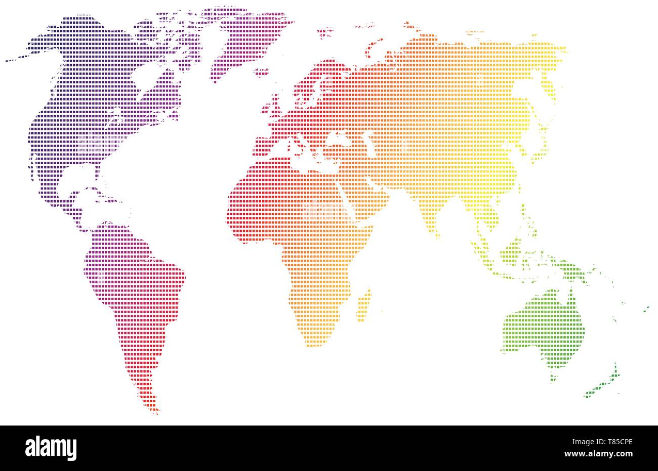 vector high detailed world map illustration Stock Vectorhttps://www.alamy.com/image-license-details/?v=1https://www.alamy.com/vector-high-detailed-world-map-illustration-image245982198.html
RFT85CPE–vector high detailed world map illustration
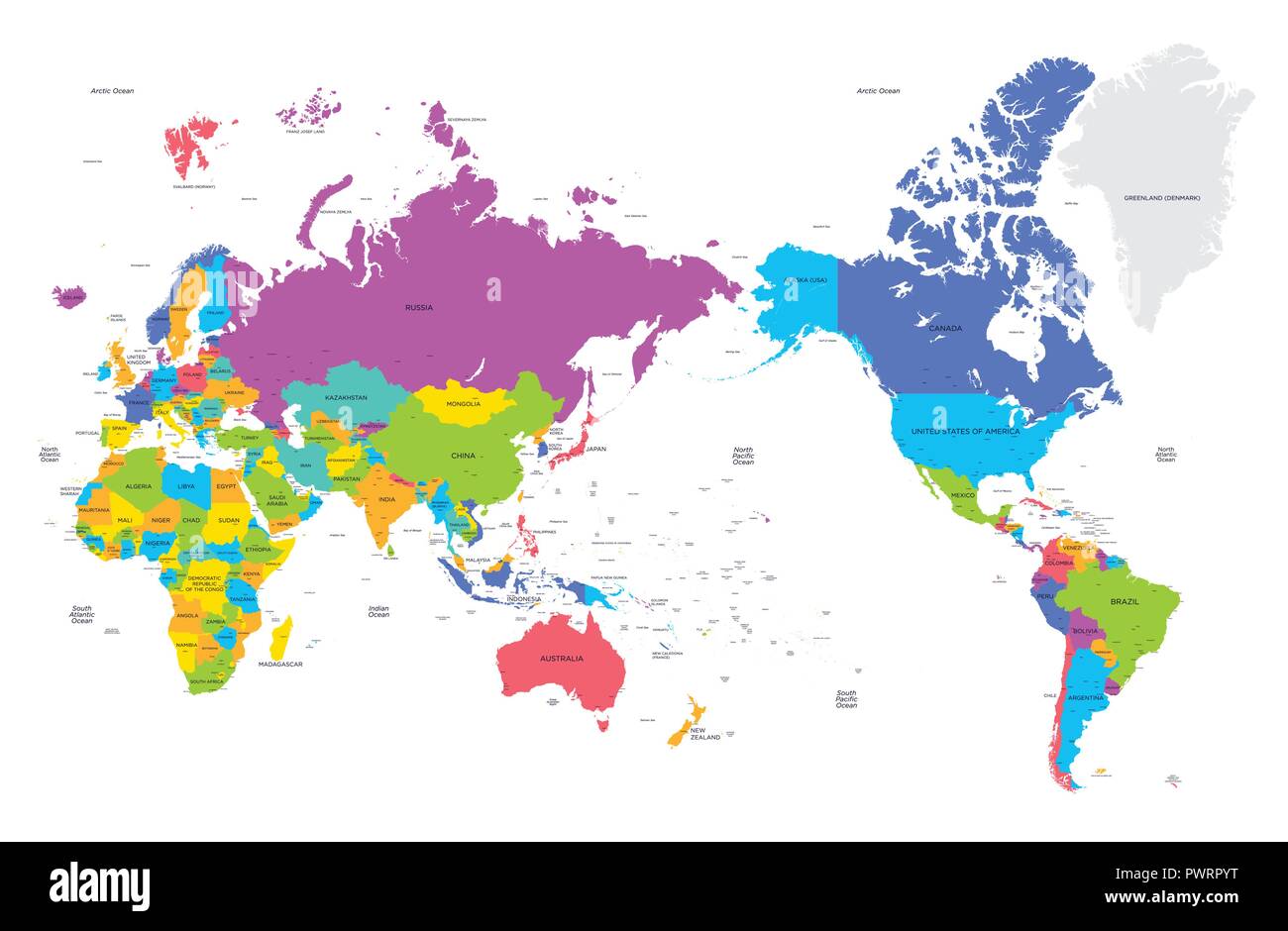 Colorful political map of the world with large cities, high detail vector illustration template for your design Stock Vectorhttps://www.alamy.com/image-license-details/?v=1https://www.alamy.com/colorful-political-map-of-the-world-with-large-cities-high-detail-vector-illustration-template-for-your-design-image222413740.html
RFPWRPYT–Colorful political map of the world with large cities, high detail vector illustration template for your design
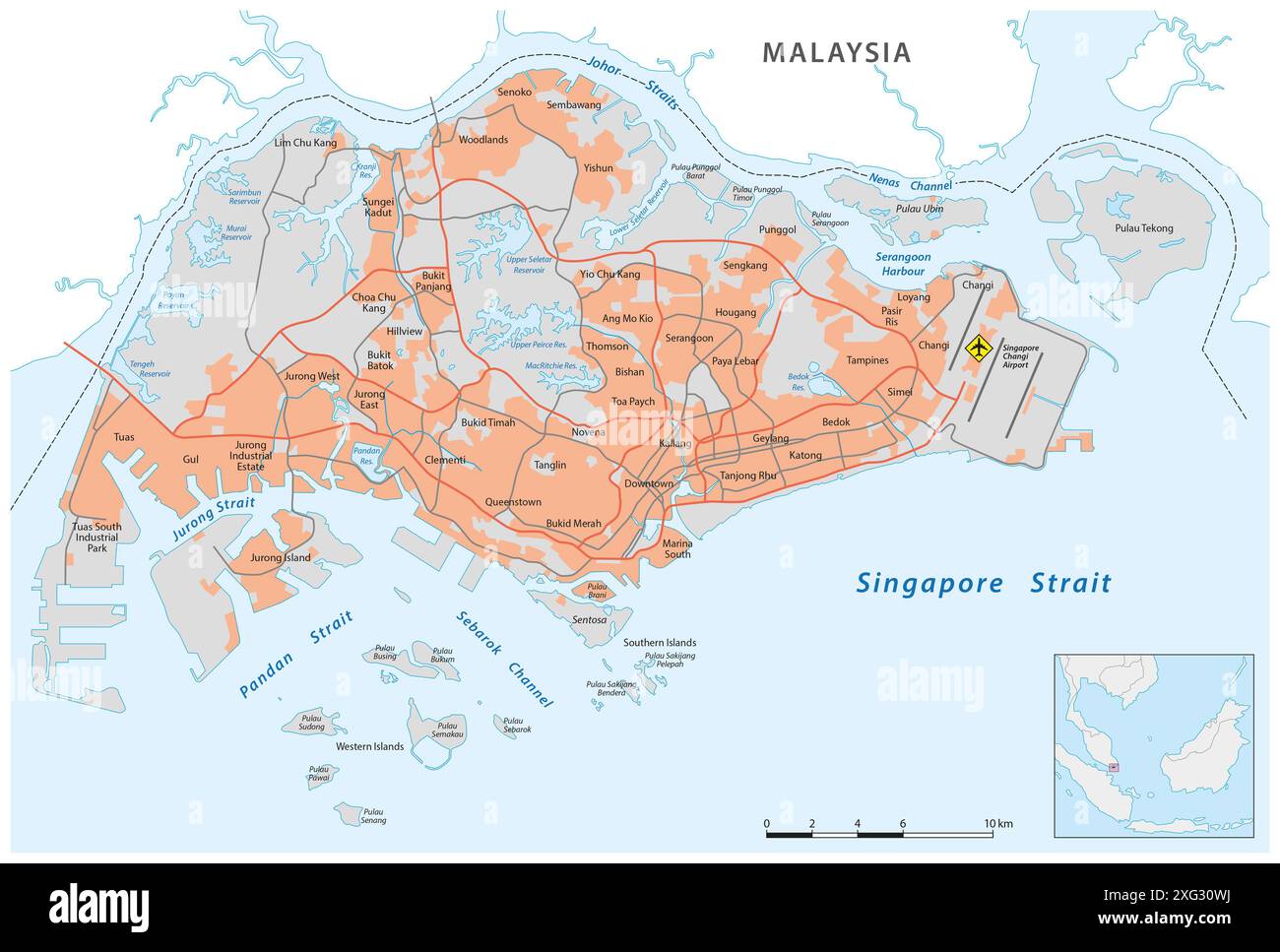 Detailed road map of the Republic of Singapore Stock Photohttps://www.alamy.com/image-license-details/?v=1https://www.alamy.com/detailed-road-map-of-the-republic-of-singapore-image612263950.html
RF2XG30WJ–Detailed road map of the Republic of Singapore
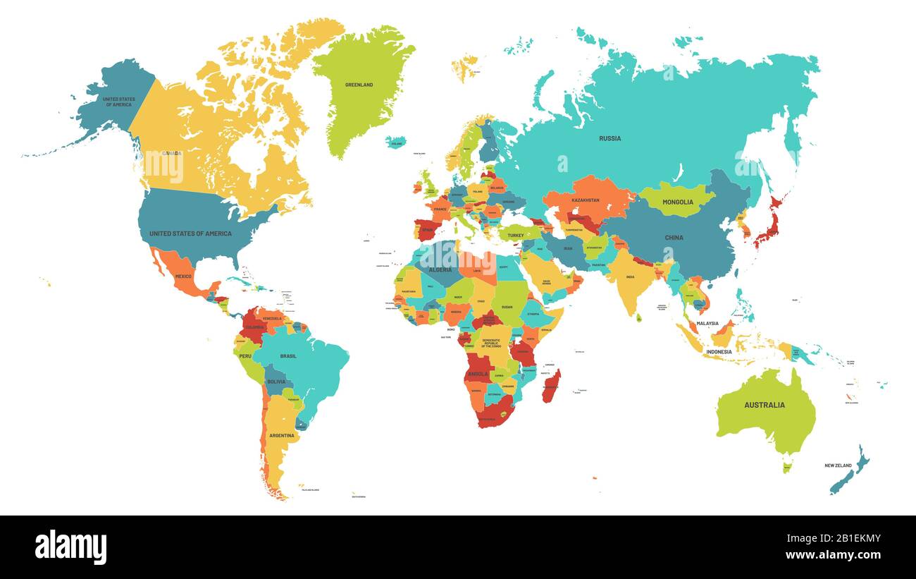 Colored world map. Political maps, colourful world countries and country names vector illustration Stock Vectorhttps://www.alamy.com/image-license-details/?v=1https://www.alamy.com/colored-world-map-political-maps-colourful-world-countries-and-country-names-vector-illustration-image345144827.html
RF2B1EKMY–Colored world map. Political maps, colourful world countries and country names vector illustration
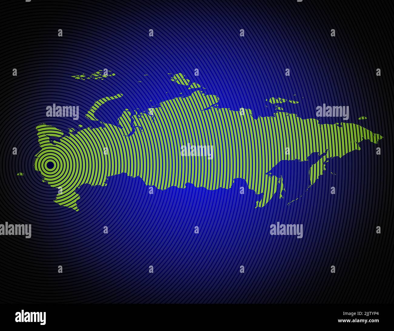 a very detailed map of russia in a modern and clean circle design Stock Photohttps://www.alamy.com/image-license-details/?v=1https://www.alamy.com/a-very-detailed-map-of-russia-in-a-modern-and-clean-circle-design-image476292380.html
RF2JJTYP4–a very detailed map of russia in a modern and clean circle design
 An illustration of a blue earth map Stock Photohttps://www.alamy.com/image-license-details/?v=1https://www.alamy.com/an-illustration-of-a-blue-earth-map-image352874815.html
RM2BE2RBY–An illustration of a blue earth map
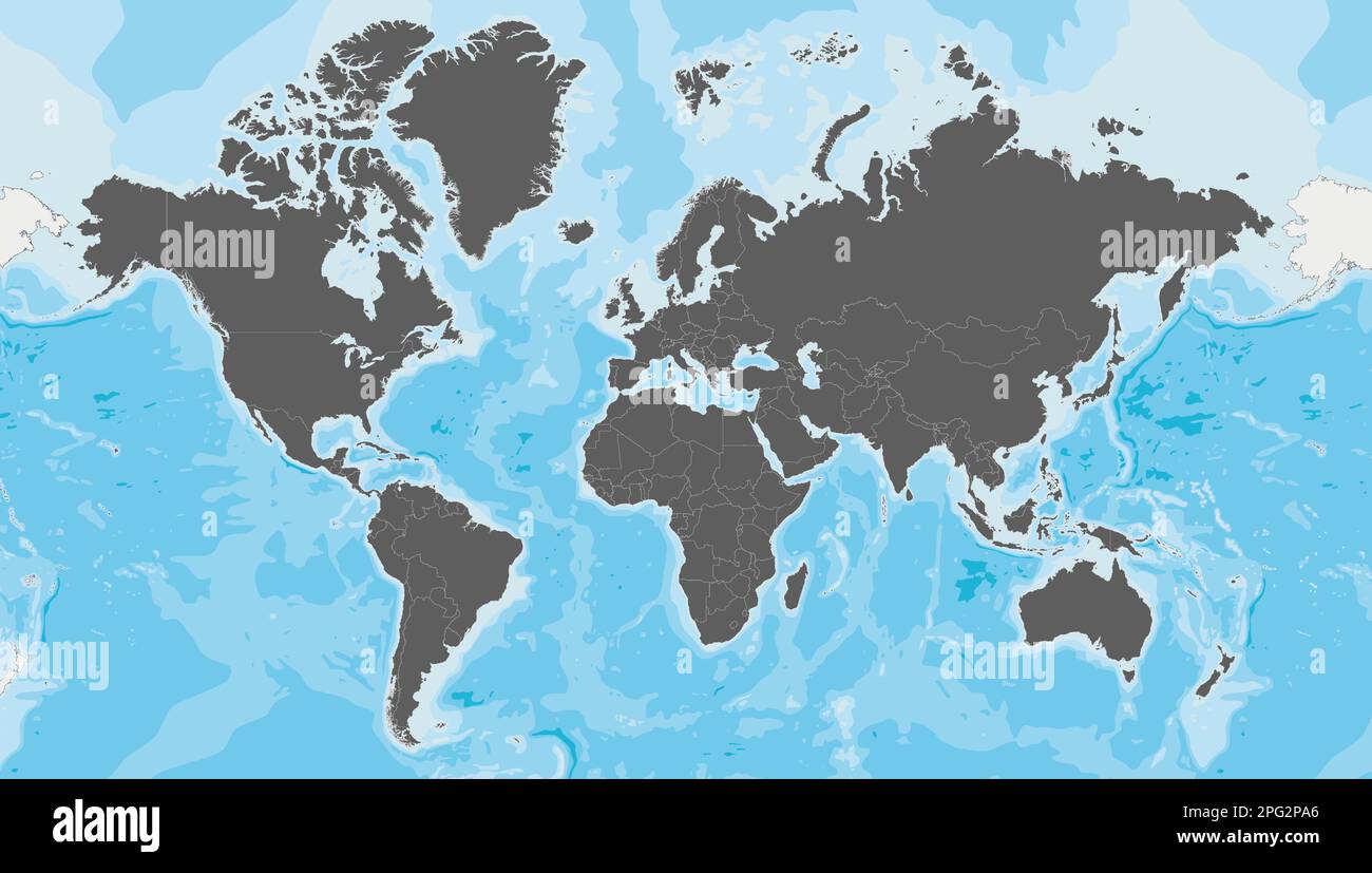 Highly detailed blank World Map vector illustration. Editable and clearly labeled layers. Stock Vectorhttps://www.alamy.com/image-license-details/?v=1https://www.alamy.com/highly-detailed-blank-world-map-vector-illustration-editable-and-clearly-labeled-layers-image543417342.html
RF2PG2PA6–Highly detailed blank World Map vector illustration. Editable and clearly labeled layers.
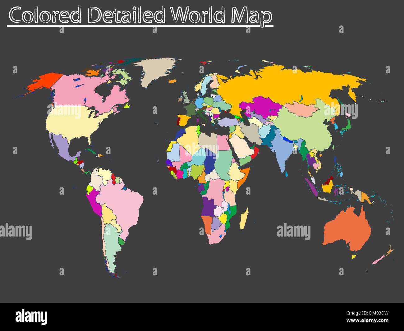 colored detailed world map Stock Vectorhttps://www.alamy.com/image-license-details/?v=1https://www.alamy.com/colored-detailed-world-map-image64124533.html
RFDM93DW–colored detailed world map
 High detailed flag of Ladonia. National Ladonia flag. 3D illustration. Stock Photohttps://www.alamy.com/image-license-details/?v=1https://www.alamy.com/high-detailed-flag-of-ladonia-national-ladonia-flag-3d-illustration-image576372827.html
RF2TDM1BR–High detailed flag of Ladonia. National Ladonia flag. 3D illustration.
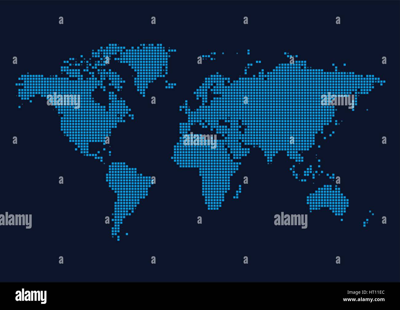 World Continents Map - Dots style vector illustration Stock Vectorhttps://www.alamy.com/image-license-details/?v=1https://www.alamy.com/stock-photo-world-continents-map-dots-style-vector-illustration-135247460.html
RFHT11EC–World Continents Map - Dots style vector illustration
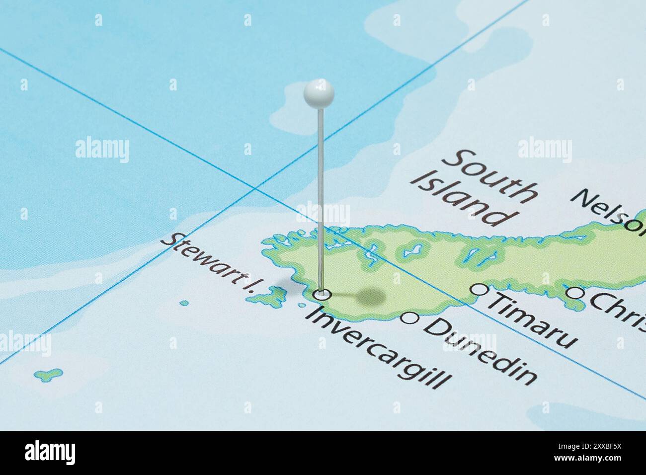 Close up to a Invercargill city with a white pin needle into New Zealand country political map Stock Photohttps://www.alamy.com/image-license-details/?v=1https://www.alamy.com/close-up-to-a-invercargill-city-with-a-white-pin-needle-into-new-zealand-country-political-map-image618597334.html
RF2XXBF5X–Close up to a Invercargill city with a white pin needle into New Zealand country political map
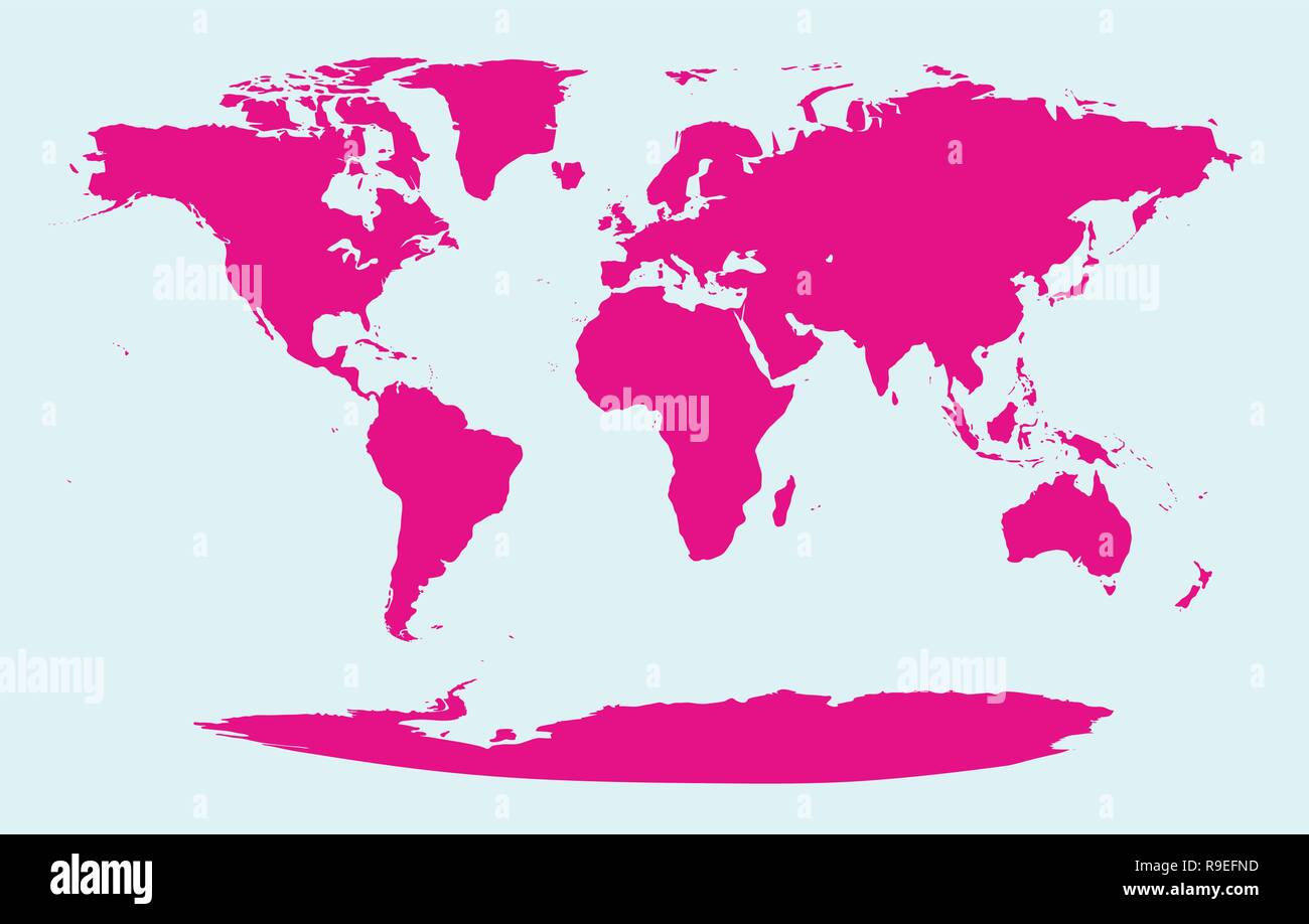 Clean isolated detailed global map of the world countries and continents Stock Vectorhttps://www.alamy.com/image-license-details/?v=1https://www.alamy.com/clean-isolated-detailed-global-map-of-the-world-countries-and-continents-image229586377.html
RFR9EFND–Clean isolated detailed global map of the world countries and continents
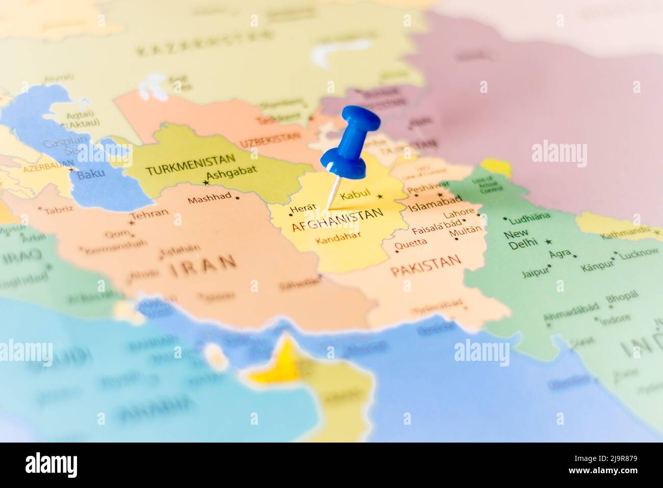 Blue push pin pointing at Afghanistan on a political world map Stock Photohttps://www.alamy.com/image-license-details/?v=1https://www.alamy.com/blue-push-pin-pointing-at-afghanistan-on-a-political-world-map-image470723213.html
RF2J9R879–Blue push pin pointing at Afghanistan on a political world map
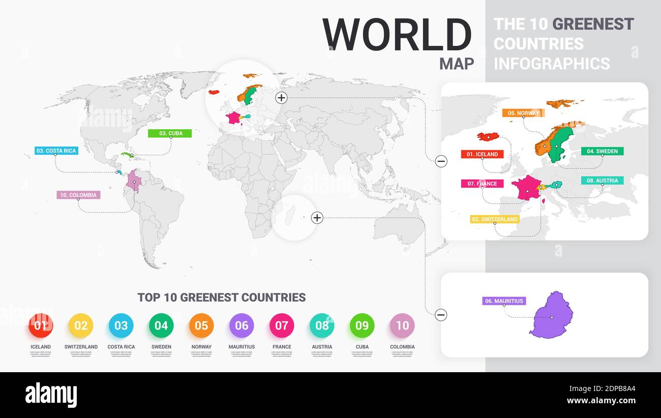 World Map Illustration with Colored Countries. The 10 Greenest Countries Infographics. Colorful Modern Business Statistic Template. Flat Vector Illust Stock Vectorhttps://www.alamy.com/image-license-details/?v=1https://www.alamy.com/world-map-illustration-with-colored-countries-the-10-greenest-countries-infographics-colorful-modern-business-statistic-template-flat-vector-illust-image392398556.html
RF2DPB8A4–World Map Illustration with Colored Countries. The 10 Greenest Countries Infographics. Colorful Modern Business Statistic Template. Flat Vector Illust
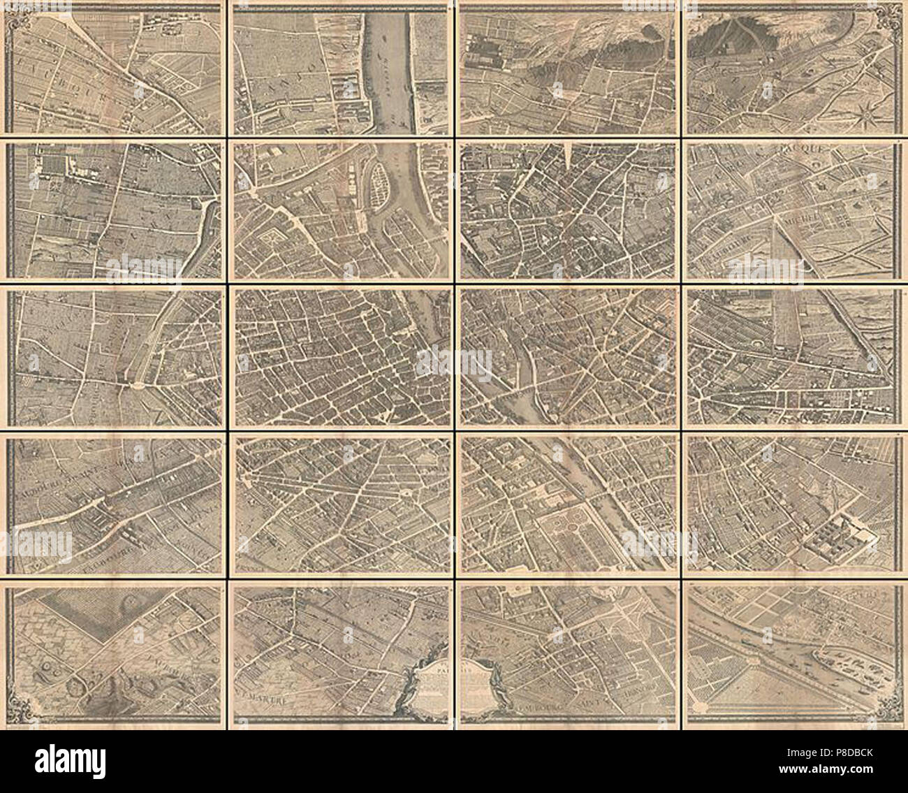 vintage map Stock Photohttps://www.alamy.com/image-license-details/?v=1https://www.alamy.com/vintage-map-image211736019.html
RMP8DBCK–vintage map
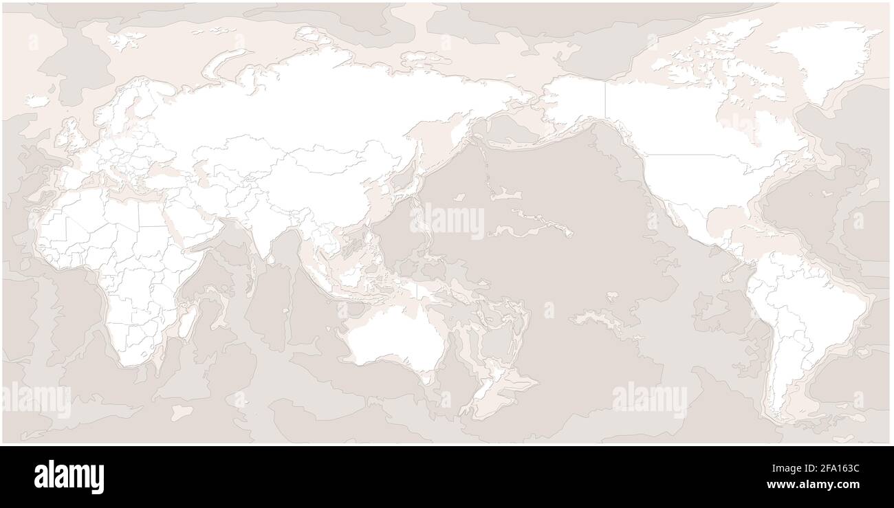 world map. modern topography world map vector. Stock Photohttps://www.alamy.com/image-license-details/?v=1https://www.alamy.com/world-map-modern-topography-world-map-vector-image419222144.html
RF2FA163C–world map. modern topography world map vector.
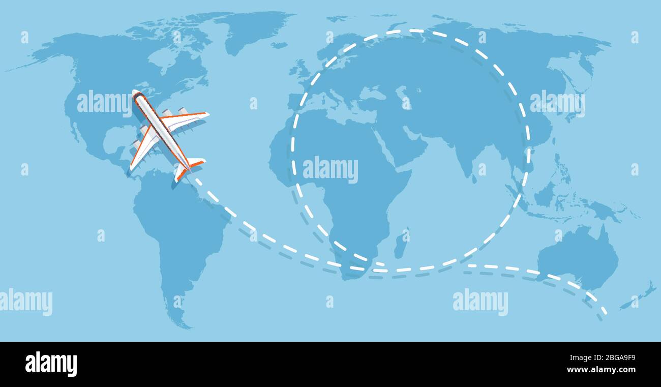 Airplane flying above world map. Aircraft travelling flat vector concept. Flight travel world map illustration Stock Vectorhttps://www.alamy.com/image-license-details/?v=1https://www.alamy.com/airplane-flying-above-world-map-aircraft-travelling-flat-vector-concept-flight-travel-world-map-illustration-image354268861.html
RF2BGA9F9–Airplane flying above world map. Aircraft travelling flat vector concept. Flight travel world map illustration
 Hexagons Grey Color World Map Vector illustration. Stock Vectorhttps://www.alamy.com/image-license-details/?v=1https://www.alamy.com/hexagons-grey-color-world-map-vector-illustration-image345150829.html
RF2B1EYB9–Hexagons Grey Color World Map Vector illustration.
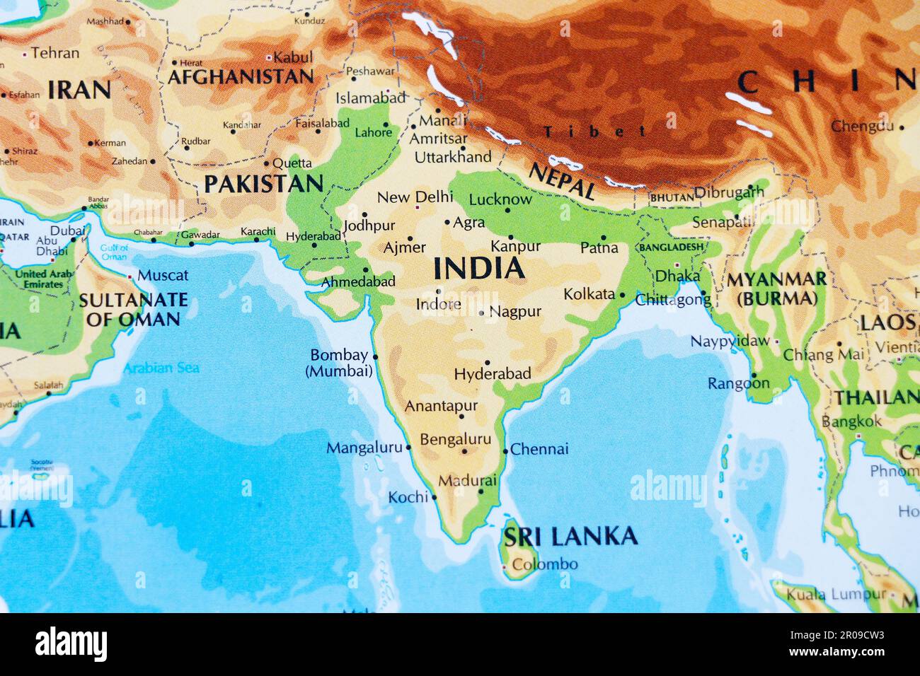 close up of a world map with asian side, India subcontinental in focus Stock Photohttps://www.alamy.com/image-license-details/?v=1https://www.alamy.com/close-up-of-a-world-map-with-asian-side-india-subcontinental-in-focus-image550939455.html
RF2R09CW3–close up of a world map with asian side, India subcontinental in focus
 vector high detailed world map illustration Stock Vectorhttps://www.alamy.com/image-license-details/?v=1https://www.alamy.com/vector-high-detailed-world-map-illustration-image245983083.html
RFT85DX3–vector high detailed world map illustration
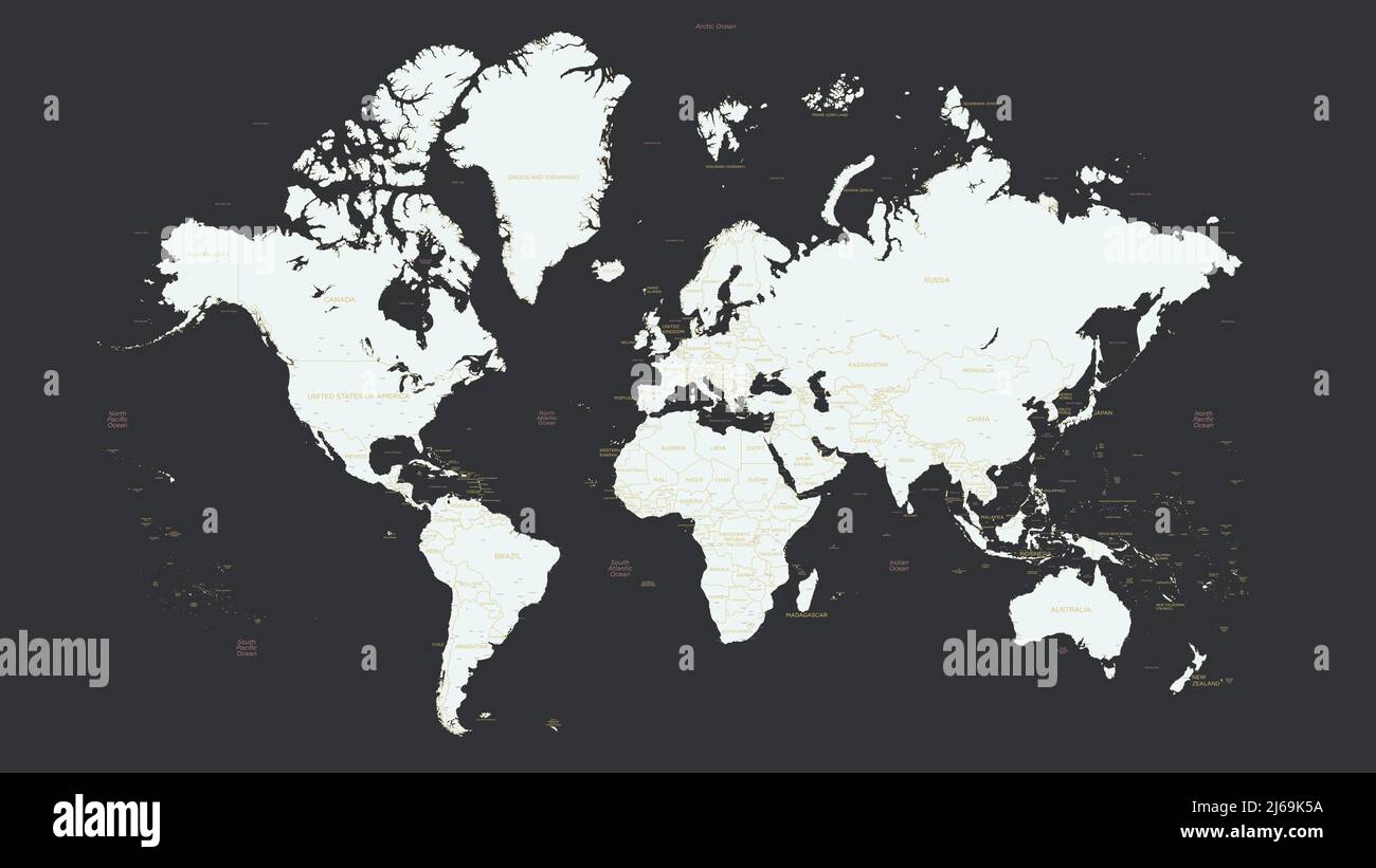 Detailed world map with country names and big cities, seas and oceans, light silhouette on a dark background, vector graphics Stock Vectorhttps://www.alamy.com/image-license-details/?v=1https://www.alamy.com/detailed-world-map-with-country-names-and-big-cities-seas-and-oceans-light-silhouette-on-a-dark-background-vector-graphics-image468580486.html
RF2J69K5A–Detailed world map with country names and big cities, seas and oceans, light silhouette on a dark background, vector graphics
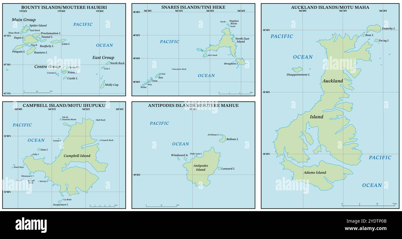 Vector map of the Subantarctic Islands of New Zealand Stock Photohttps://www.alamy.com/image-license-details/?v=1https://www.alamy.com/vector-map-of-the-subantarctic-islands-of-new-zealand-image628107883.html
RF2YDTP0B–Vector map of the Subantarctic Islands of New Zealand
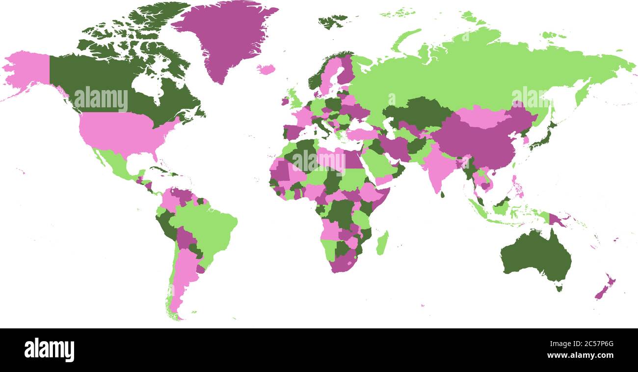 Political map of world. Countries in four different violet and green colors without borders on white background. Blank high detail vector map. Stock Vectorhttps://www.alamy.com/image-license-details/?v=1https://www.alamy.com/political-map-of-world-countries-in-four-different-violet-and-green-colors-without-borders-on-white-background-blank-high-detail-vector-map-image364662104.html
RF2C57P6G–Political map of world. Countries in four different violet and green colors without borders on white background. Blank high detail vector map.
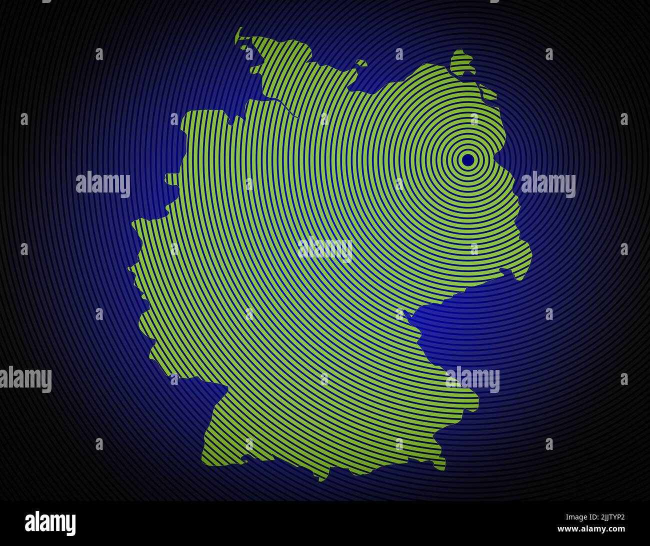 a very detailed map of germany in a modern and clean circle design Stock Photohttps://www.alamy.com/image-license-details/?v=1https://www.alamy.com/a-very-detailed-map-of-germany-in-a-modern-and-clean-circle-design-image476292378.html
RF2JJTYP2–a very detailed map of germany in a modern and clean circle design
 An illustration of a blue earth map Stock Photohttps://www.alamy.com/image-license-details/?v=1https://www.alamy.com/an-illustration-of-a-blue-earth-map-image333046638.html
RM2A9RGAP–An illustration of a blue earth map
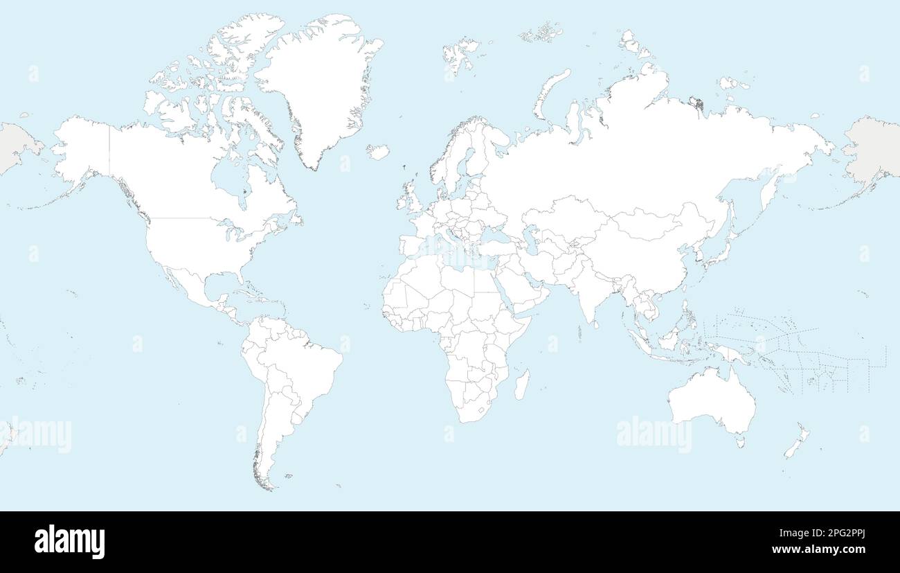 Highly detailed blank World Map vector illustration. Editable and clearly labeled layers. Stock Vectorhttps://www.alamy.com/image-license-details/?v=1https://www.alamy.com/highly-detailed-blank-world-map-vector-illustration-editable-and-clearly-labeled-layers-image543417690.html
RF2PG2PPJ–Highly detailed blank World Map vector illustration. Editable and clearly labeled layers.
RFP807GR–Earth in the form of a globe. Earth Planet icon. Detailed colored world map. Vector illustration isolated on white background
 High detailed flag of Ladonia. National Ladonia flag. 3D illustration. Stock Photohttps://www.alamy.com/image-license-details/?v=1https://www.alamy.com/high-detailed-flag-of-ladonia-national-ladonia-flag-3d-illustration-image576373231.html
RF2TDM1X7–High detailed flag of Ladonia. National Ladonia flag. 3D illustration.
 Vector Blank Grey, linear similar World map isolated on white background. Monochrome Worldmap template website design cover, annual reports, infograph Stock Vectorhttps://www.alamy.com/image-license-details/?v=1https://www.alamy.com/stock-photo-vector-blank-grey-linear-similar-world-map-isolated-on-white-background-145157596.html
RFJC4DYT–Vector Blank Grey, linear similar World map isolated on white background. Monochrome Worldmap template website design cover, annual reports, infograph
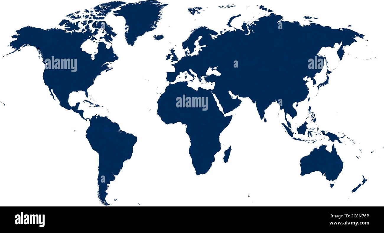 Vector illustration. Detailed world map in blue tones with dust texture. Stock Vectorhttps://www.alamy.com/image-license-details/?v=1https://www.alamy.com/vector-illustration-detailed-world-map-in-blue-tones-with-dust-texture-image366801635.html
RF2C8N76B–Vector illustration. Detailed world map in blue tones with dust texture.
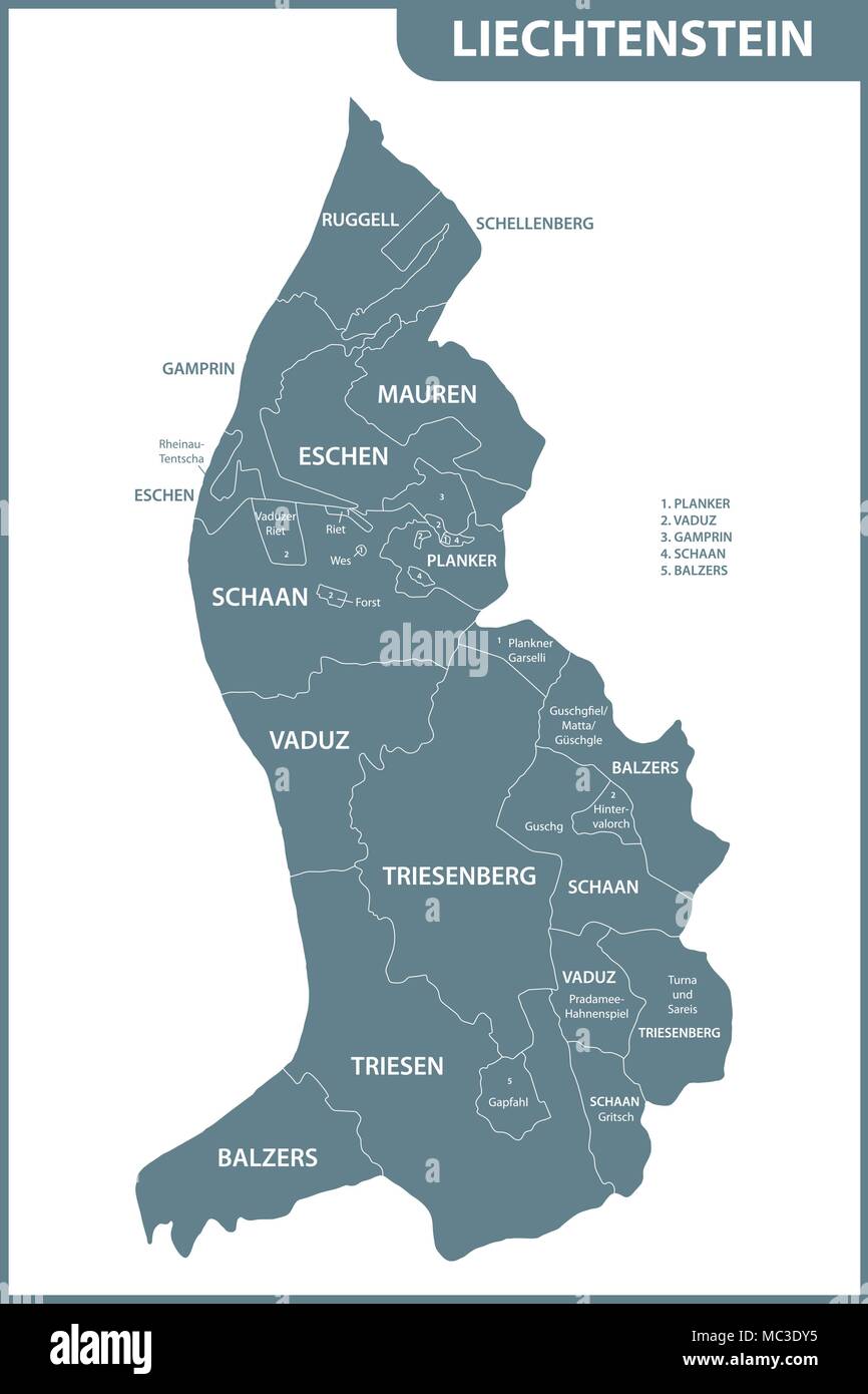 The detailed map of Liechtenstein with regions or states. Administrative division Stock Vectorhttps://www.alamy.com/image-license-details/?v=1https://www.alamy.com/the-detailed-map-of-liechtenstein-with-regions-or-states-administrative-division-image179556361.html
RFMC3DY5–The detailed map of Liechtenstein with regions or states. Administrative division
 Blue push pin pointing at Azerbaijan on a political world map Stock Photohttps://www.alamy.com/image-license-details/?v=1https://www.alamy.com/blue-push-pin-pointing-at-azerbaijan-on-a-political-world-map-image470722843.html
RF2J9R7P3–Blue push pin pointing at Azerbaijan on a political world map
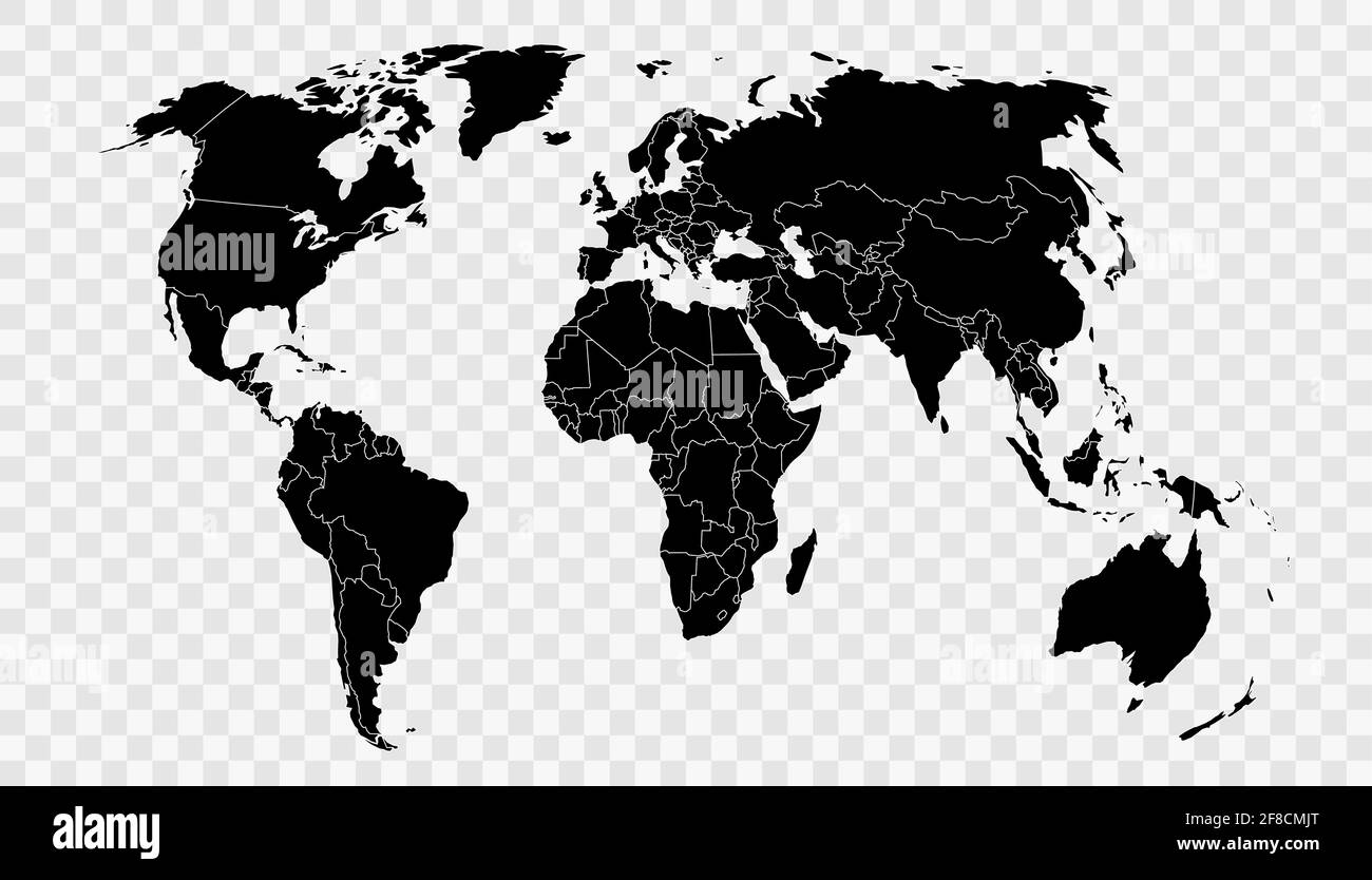 Political world map on transparent background, black color earth continents silhouette vector illustration Stock Vectorhttps://www.alamy.com/image-license-details/?v=1https://www.alamy.com/political-world-map-on-transparent-background-black-color-earth-continents-silhouette-vector-illustration-image418245712.html
RF2F8CMJT–Political world map on transparent background, black color earth continents silhouette vector illustration
 vintage map Stock Photohttps://www.alamy.com/image-license-details/?v=1https://www.alamy.com/vintage-map-image211736006.html
RMP8DBC6–vintage map
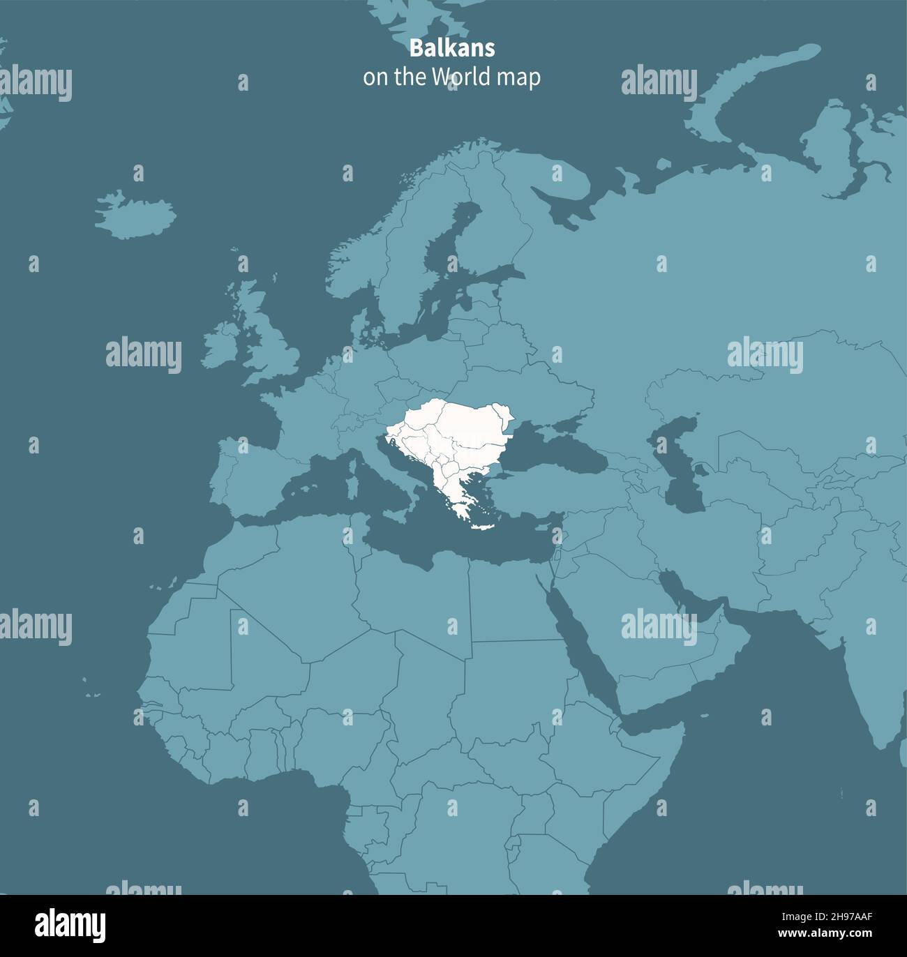 Balkans vector map. world map by region. Stock Vectorhttps://www.alamy.com/image-license-details/?v=1https://www.alamy.com/balkans-vector-map-world-map-by-region-image453163271.html
RF2H97AAF–Balkans vector map. world map by region.
 Colorful world map with vector splatters Stock Vectorhttps://www.alamy.com/image-license-details/?v=1https://www.alamy.com/colorful-world-map-with-vector-splatters-image185375084.html
RFMNGFPM–Colorful world map with vector splatters
 Hexagons Grey Color World Map Vector illustration. Stock Vectorhttps://www.alamy.com/image-license-details/?v=1https://www.alamy.com/hexagons-grey-color-world-map-vector-illustration-image345023002.html
RF2B194A2–Hexagons Grey Color World Map Vector illustration.
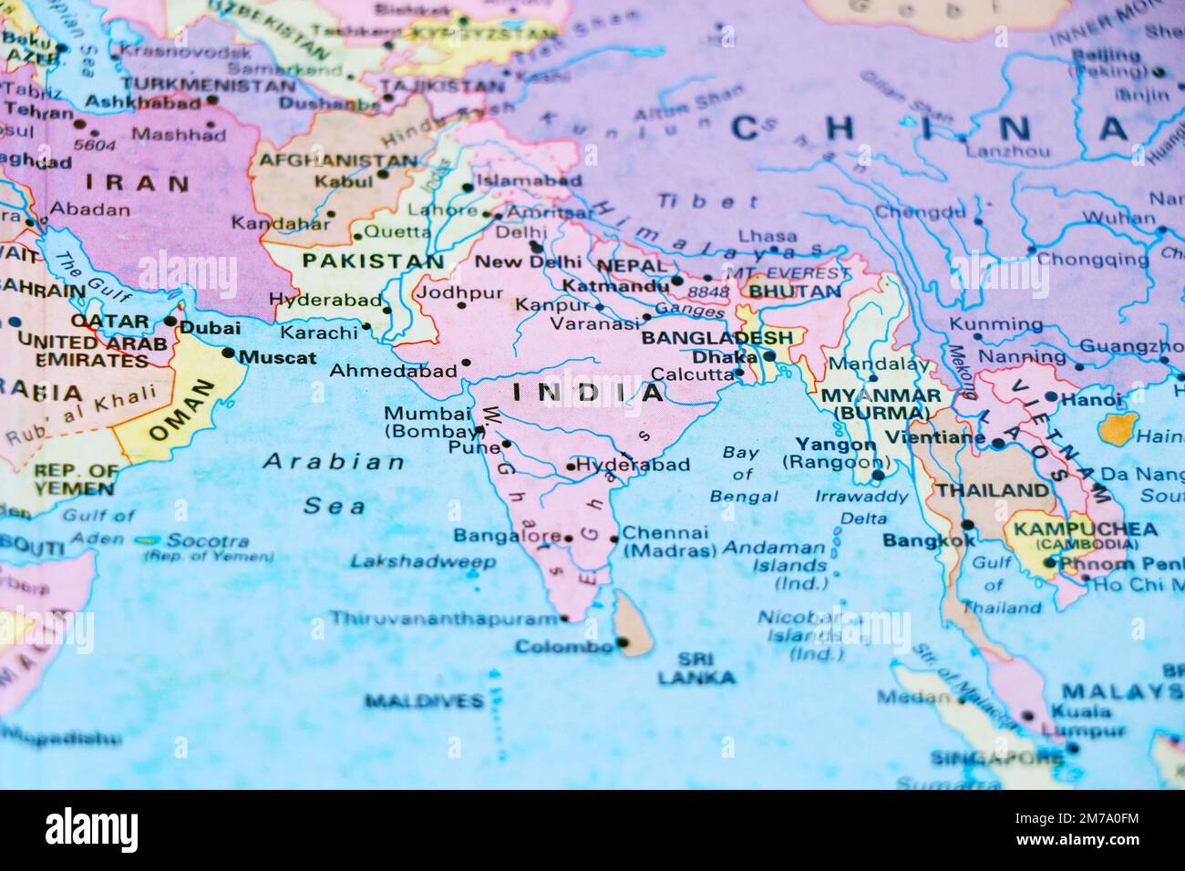 close up of a world map with asian side, India subcontinental in focus Stock Photohttps://www.alamy.com/image-license-details/?v=1https://www.alamy.com/close-up-of-a-world-map-with-asian-side-india-subcontinental-in-focus-image503623224.html
RF2M7A0FM–close up of a world map with asian side, India subcontinental in focus
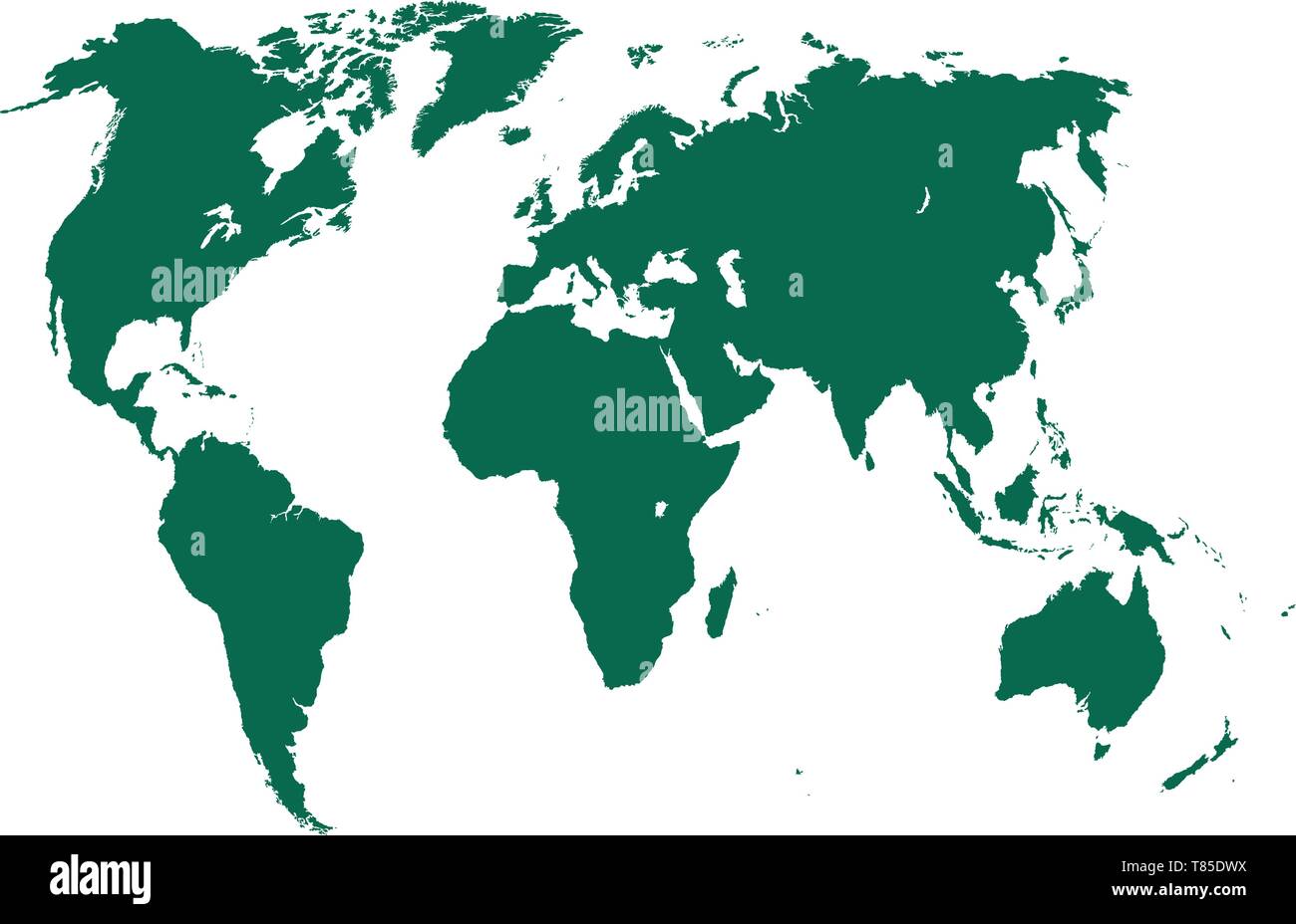 vector high detailed world map illustration Stock Vectorhttps://www.alamy.com/image-license-details/?v=1https://www.alamy.com/vector-high-detailed-world-map-illustration-image245983078.html
RFT85DWX–vector high detailed world map illustration
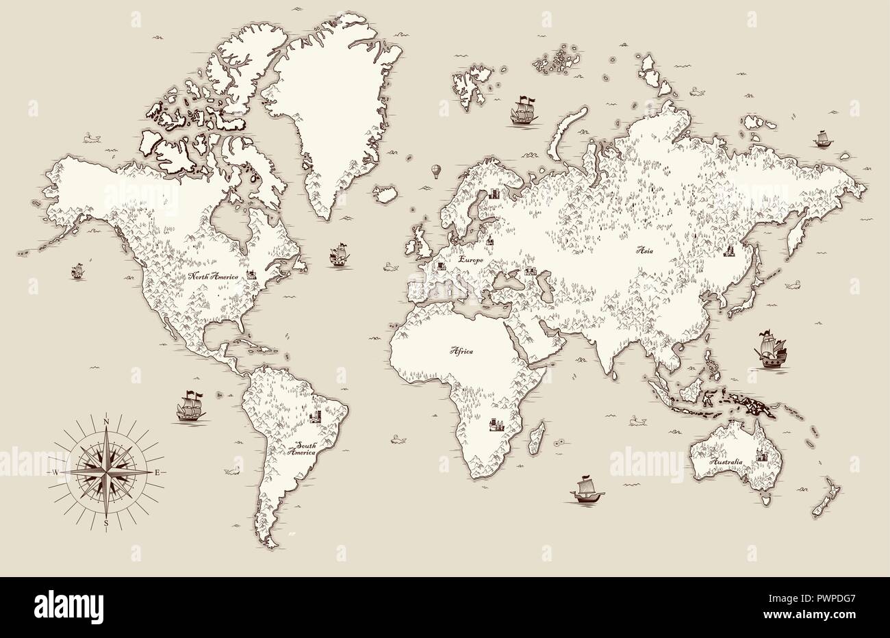 High detailed, Old world map with decorative elements template for your design Stock Vectorhttps://www.alamy.com/image-license-details/?v=1https://www.alamy.com/high-detailed-old-world-map-with-decorative-elements-template-for-your-design-image222384407.html
RFPWPDG7–High detailed, Old world map with decorative elements template for your design
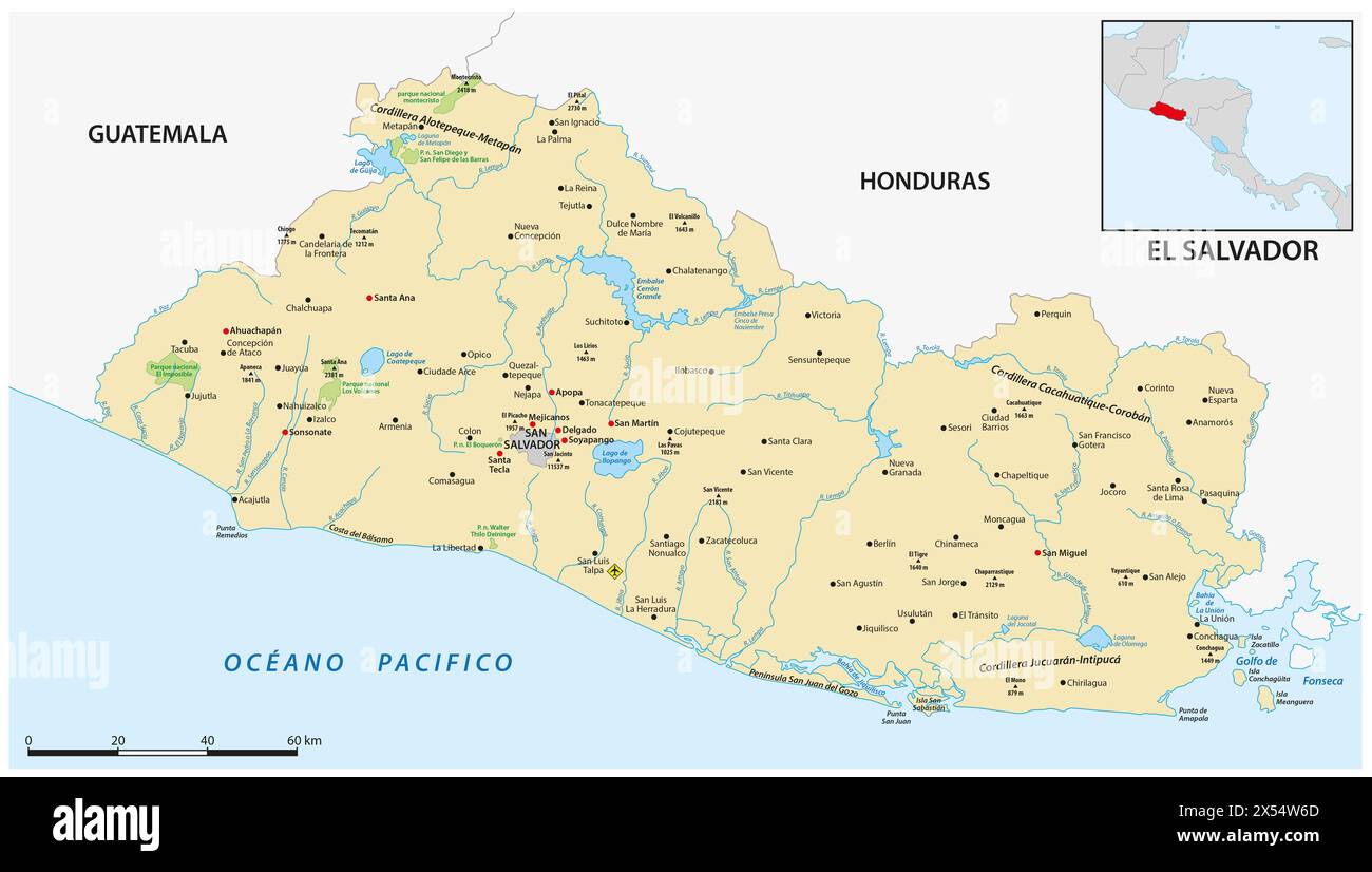 Vector map of the Central American state of El Salvador Stock Photohttps://www.alamy.com/image-license-details/?v=1https://www.alamy.com/vector-map-of-the-central-american-state-of-el-salvador-image605543749.html
RF2X54W6D–Vector map of the Central American state of El Salvador
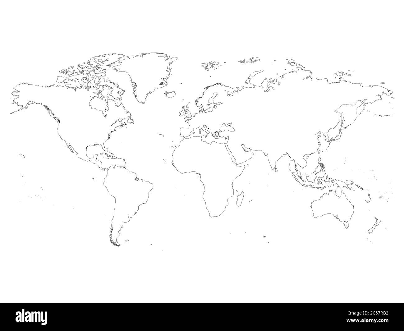 High detailed outline of world map. Simple thin black vector stroke on white background. Stock Vectorhttps://www.alamy.com/image-license-details/?v=1https://www.alamy.com/high-detailed-outline-of-world-map-simple-thin-black-vector-stroke-on-white-background-image364663014.html
RF2C57RB2–High detailed outline of world map. Simple thin black vector stroke on white background.
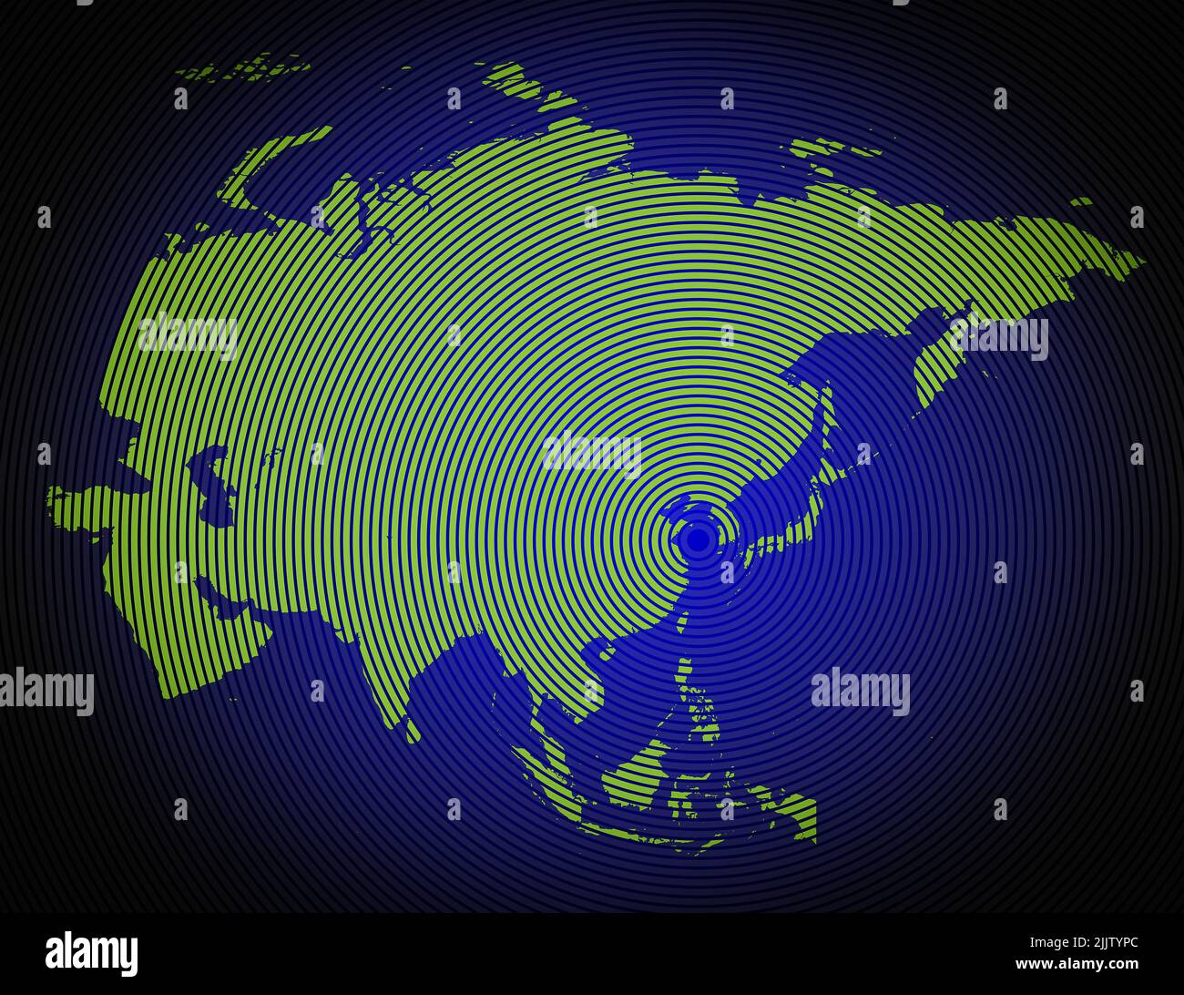 a very detailed map of asia in a modern and clean circle design Stock Photohttps://www.alamy.com/image-license-details/?v=1https://www.alamy.com/a-very-detailed-map-of-asia-in-a-modern-and-clean-circle-design-image476292388.html
RF2JJTYPC–a very detailed map of asia in a modern and clean circle design
