Quick filters:
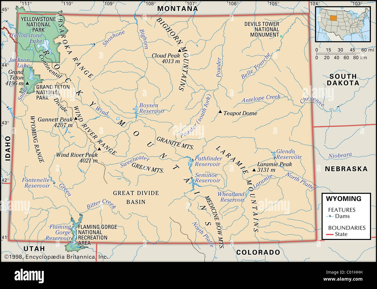
Wyoming map Stock Photos and Images
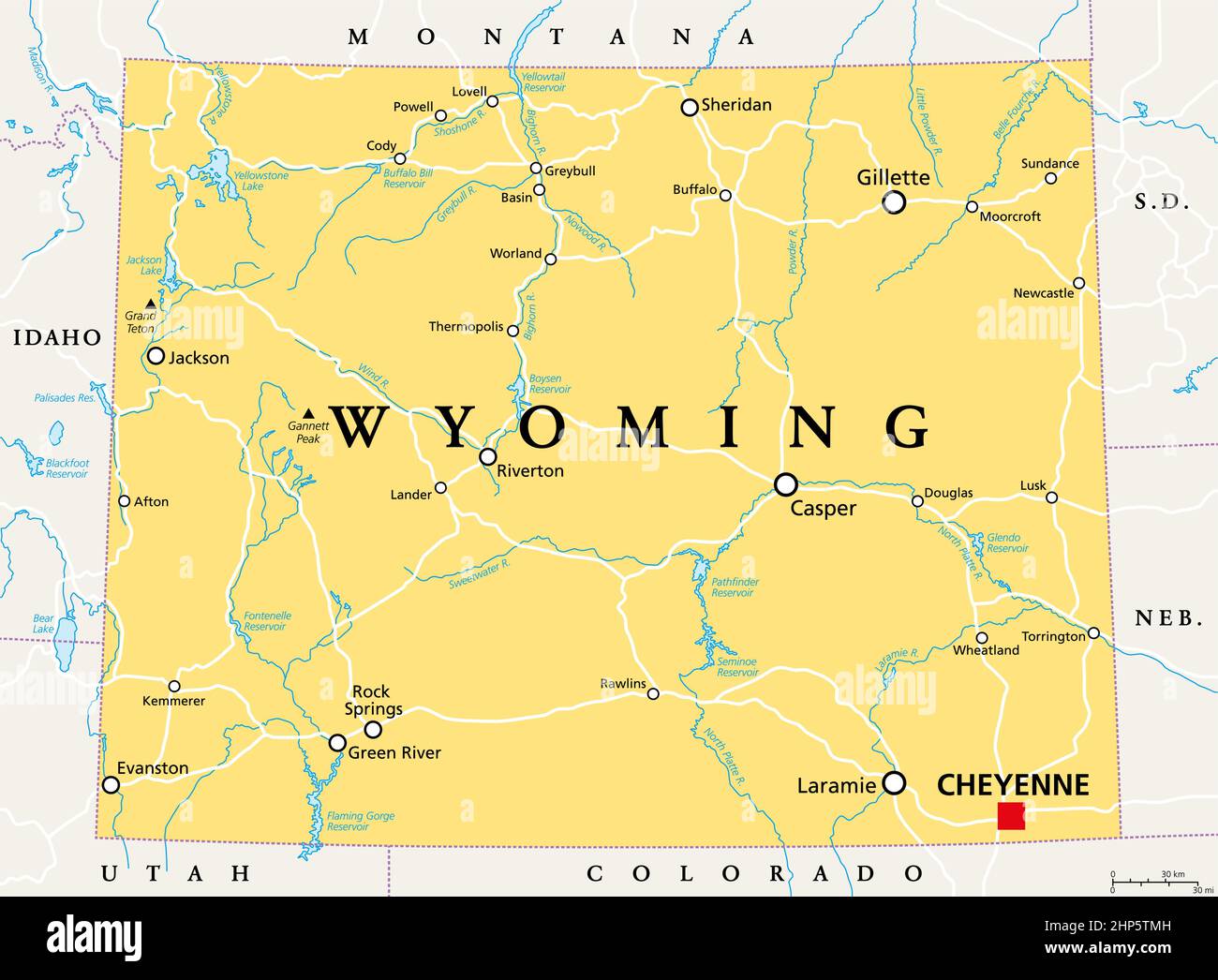 Wyoming, WY, political map, US state, nicknamed Equality State Stock Vectorhttps://www.alamy.com/image-license-details/?v=1https://www.alamy.com/wyoming-wy-political-map-us-state-nicknamed-equality-state-image461121153.html
RF2HP5TMH–Wyoming, WY, political map, US state, nicknamed Equality State
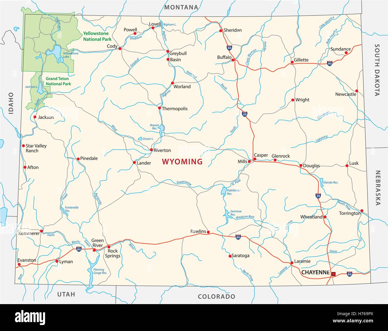 Wyoming road map Stock Vectorhttps://www.alamy.com/image-license-details/?v=1https://www.alamy.com/stock-photo-wyoming-road-map-124914578.html
RFH769PX–Wyoming road map
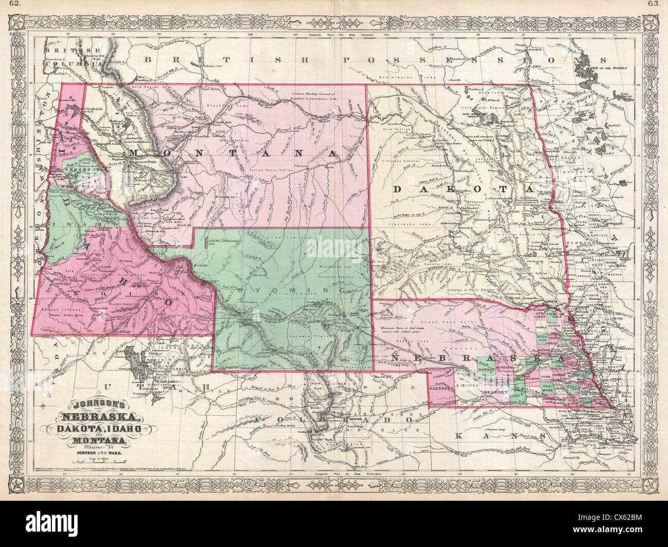 1866 Johnson Map of Montana, Wyoming, Idaho, Nebraska and Dakota Stock Photohttps://www.alamy.com/image-license-details/?v=1https://www.alamy.com/stock-photo-1866-johnson-map-of-montana-wyoming-idaho-nebraska-and-dakota-50535400.html
RMCX62BM–1866 Johnson Map of Montana, Wyoming, Idaho, Nebraska and Dakota
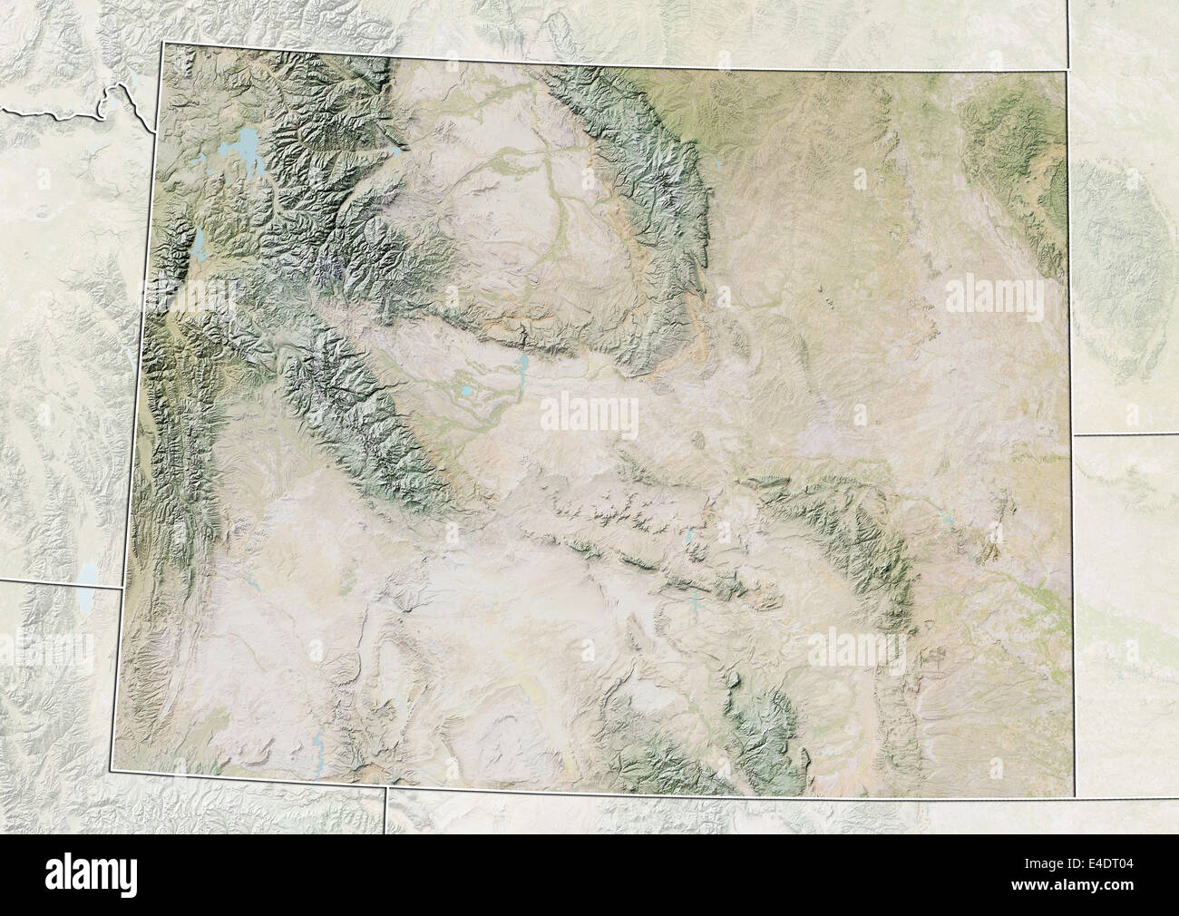 State of Wyoming, United States, Relief Map Stock Photohttps://www.alamy.com/image-license-details/?v=1https://www.alamy.com/stock-photo-state-of-wyoming-united-states-relief-map-71604292.html
RME4DT04–State of Wyoming, United States, Relief Map
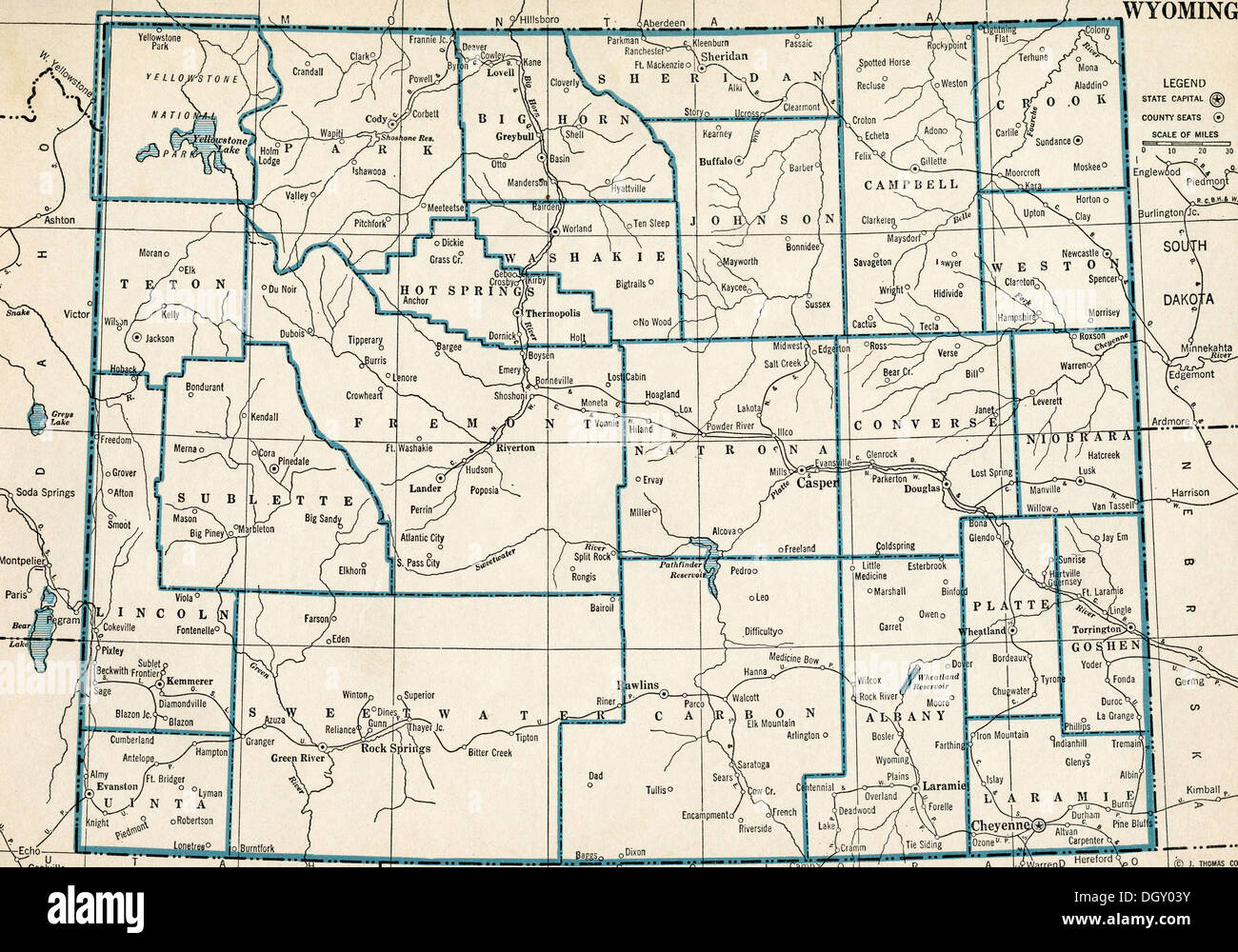 Old map of Wyoming state, 1930's Stock Photohttps://www.alamy.com/image-license-details/?v=1https://www.alamy.com/old-map-of-wyoming-state-1930s-image62058415.html
RMDGY03Y–Old map of Wyoming state, 1930's
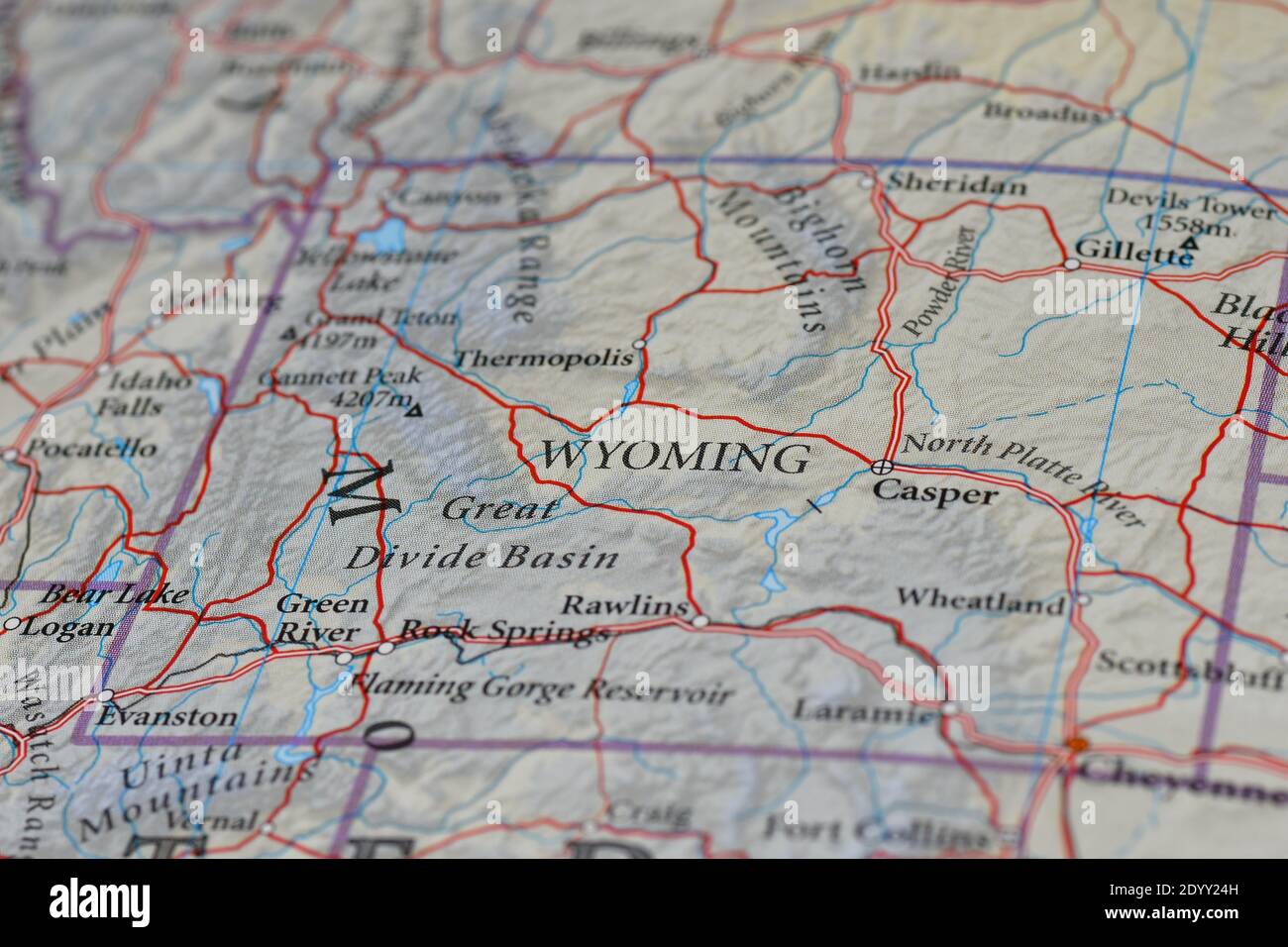 Wyoming map Stock Photohttps://www.alamy.com/image-license-details/?v=1https://www.alamy.com/wyoming-map-image395818209.html
RF2DYY24H–Wyoming map
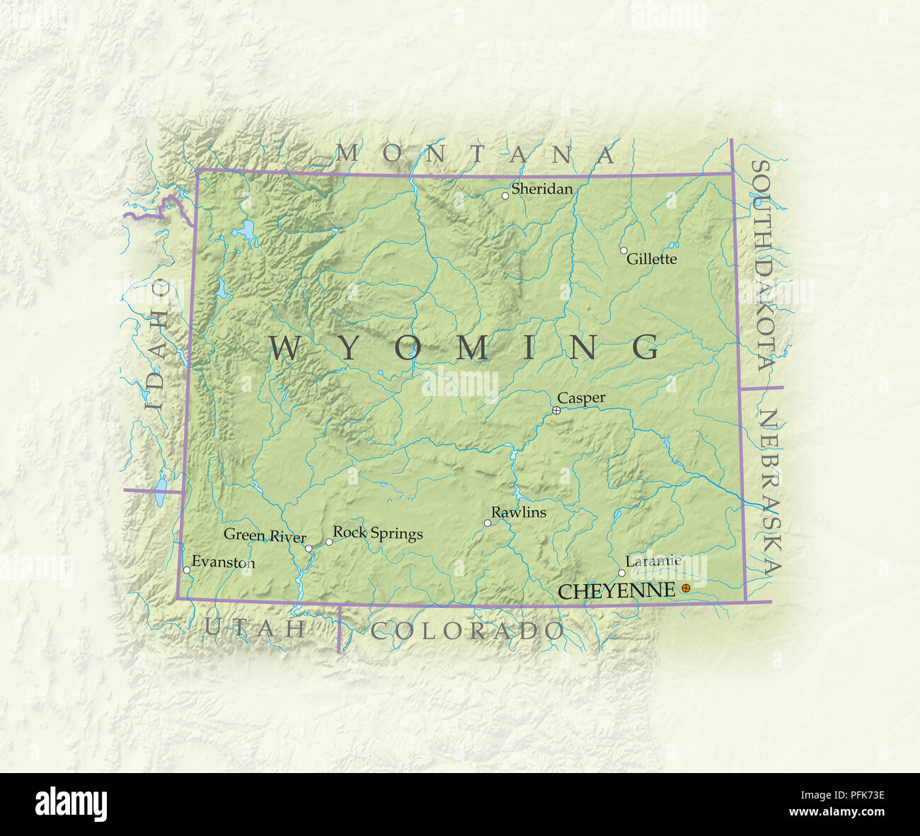 Map of Wyoming, close-up Stock Photohttps://www.alamy.com/image-license-details/?v=1https://www.alamy.com/map-of-wyoming-close-up-image216166930.html
RMPFK73E–Map of Wyoming, close-up
 Montana Idaho and Wyoming viewed from space Stock Photohttps://www.alamy.com/image-license-details/?v=1https://www.alamy.com/stock-photo-montana-idaho-and-wyoming-viewed-from-space-12187279.html
RMA8X29M–Montana Idaho and Wyoming viewed from space
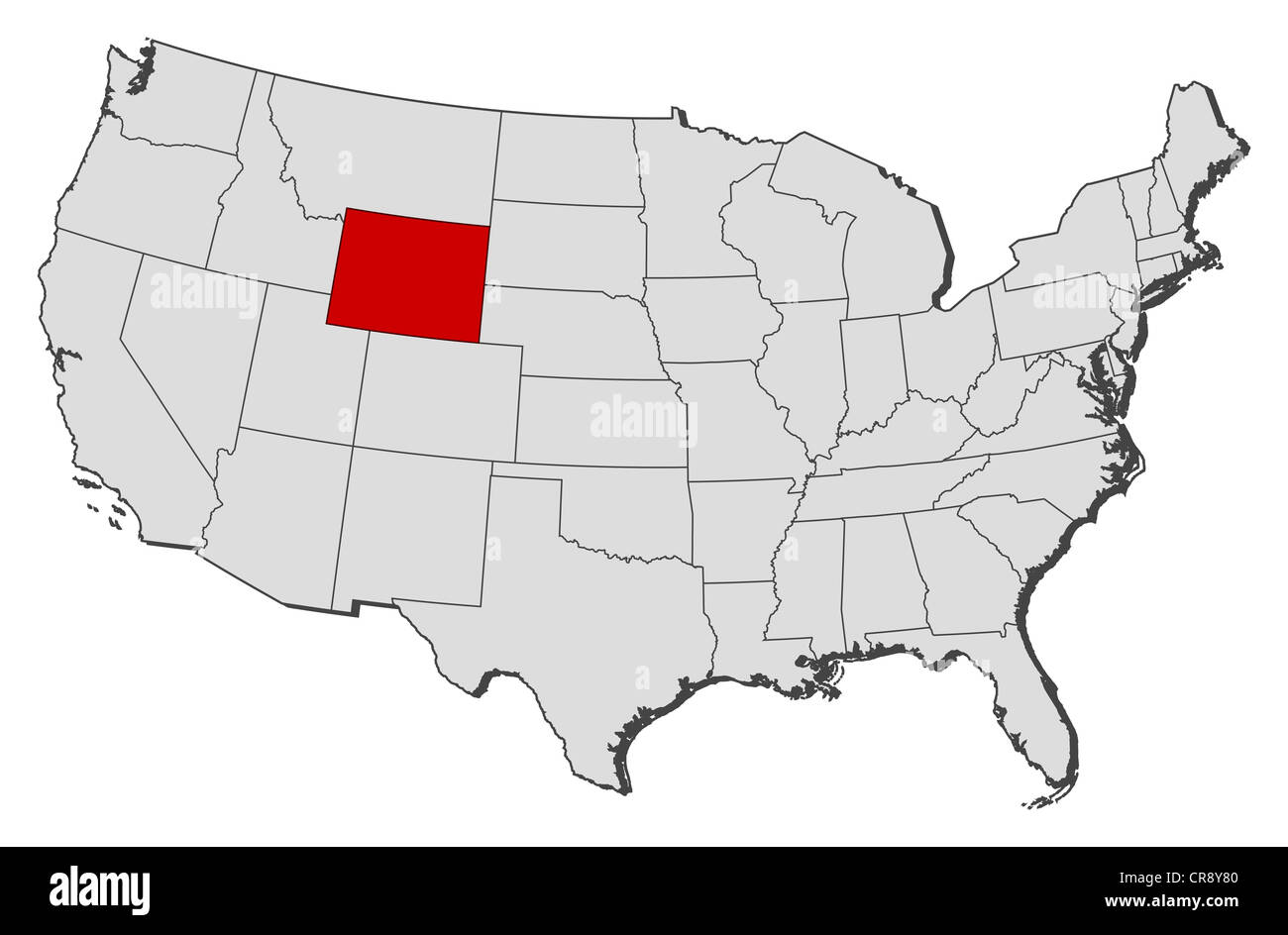 Political map of United States with the several states where Wyoming is highlighted. Stock Photohttps://www.alamy.com/image-license-details/?v=1https://www.alamy.com/stock-photo-political-map-of-united-states-with-the-several-states-where-wyoming-48754832.html
RFCR8Y80–Political map of United States with the several states where Wyoming is highlighted.
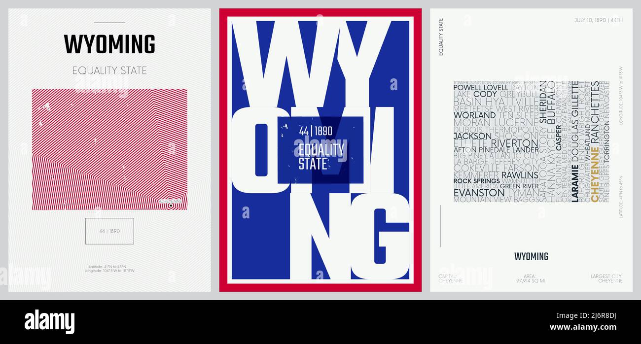 44 of 50 sets, US State Posters with name and Information in 3 Design Styles, Detailed vector art print Wyoming map Stock Vectorhttps://www.alamy.com/image-license-details/?v=1https://www.alamy.com/44-of-50-sets-us-state-posters-with-name-and-information-in-3-design-styles-detailed-vector-art-print-wyoming-map-image468879422.html
RF2J6R8DJ–44 of 50 sets, US State Posters with name and Information in 3 Design Styles, Detailed vector art print Wyoming map
 Wyoming map typography. Wyoming state map typography. Wyoming lettering. Stock Vectorhttps://www.alamy.com/image-license-details/?v=1https://www.alamy.com/wyoming-map-typography-wyoming-state-map-typography-wyoming-lettering-image467689904.html
RF2J4W36T–Wyoming map typography. Wyoming state map typography. Wyoming lettering.
 Wyoming map flag and text illustration Stock Photohttps://www.alamy.com/image-license-details/?v=1https://www.alamy.com/stock-photo-wyoming-map-flag-and-text-illustration-79071330.html
RFEGJ082–Wyoming map flag and text illustration
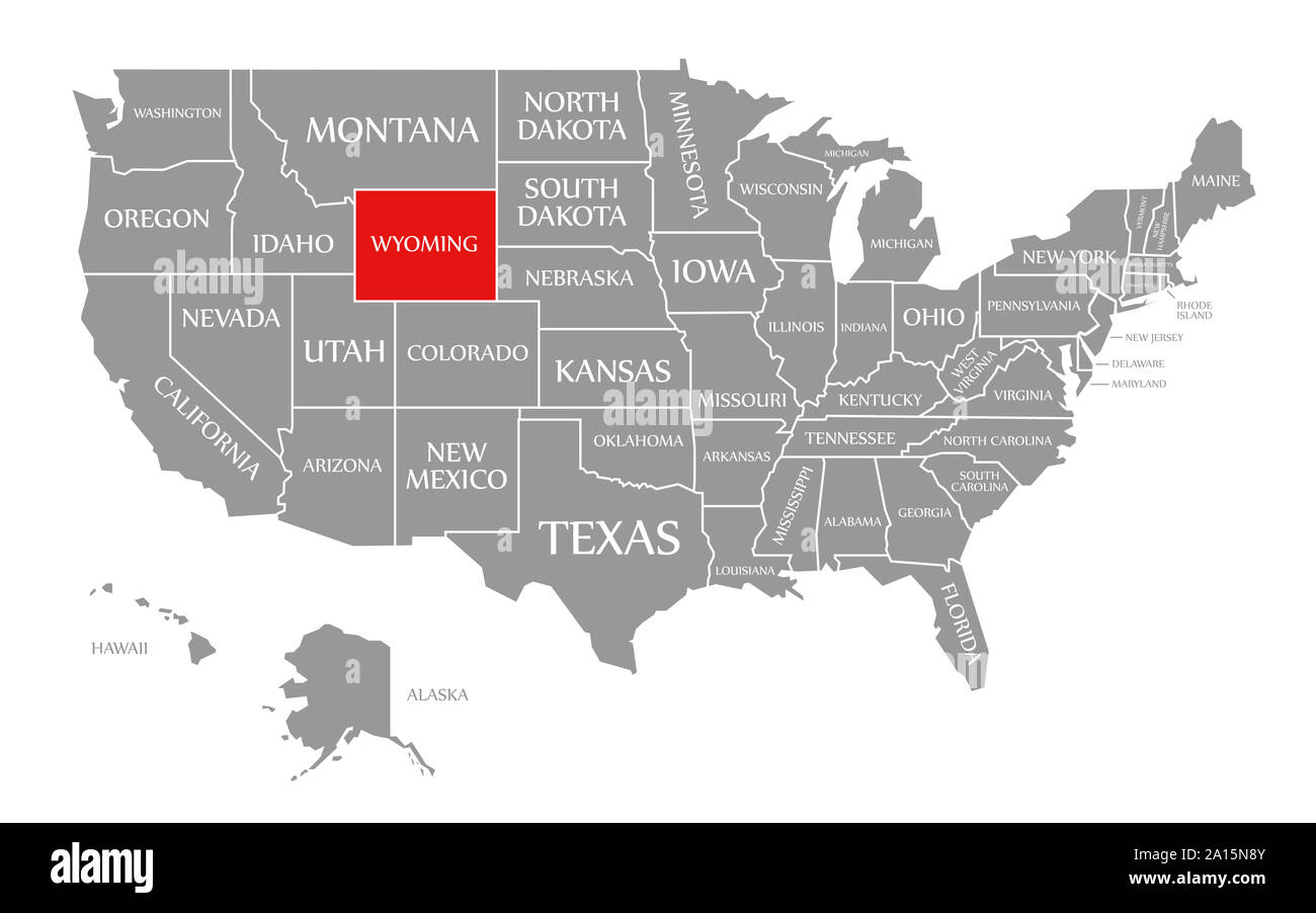 Wyoming red highlighted in map of the United States of America Stock Photohttps://www.alamy.com/image-license-details/?v=1https://www.alamy.com/wyoming-red-highlighted-in-map-of-the-united-states-of-america-image327738123.html
RF2A15N8Y–Wyoming red highlighted in map of the United States of America
RF2S1E0R3–Wyoming Map with editable stroke icon. Wyoming USA State thin line icon, Wyoming map vector illustration, Wyoming, WY silhouette vector map
 Wyoming American interstate highway road shield isolated on a white background. Stock Photohttps://www.alamy.com/image-license-details/?v=1https://www.alamy.com/stock-photo-wyoming-american-interstate-highway-road-shield-isolated-on-a-white-81845207.html
RMEN4AB3–Wyoming American interstate highway road shield isolated on a white background.
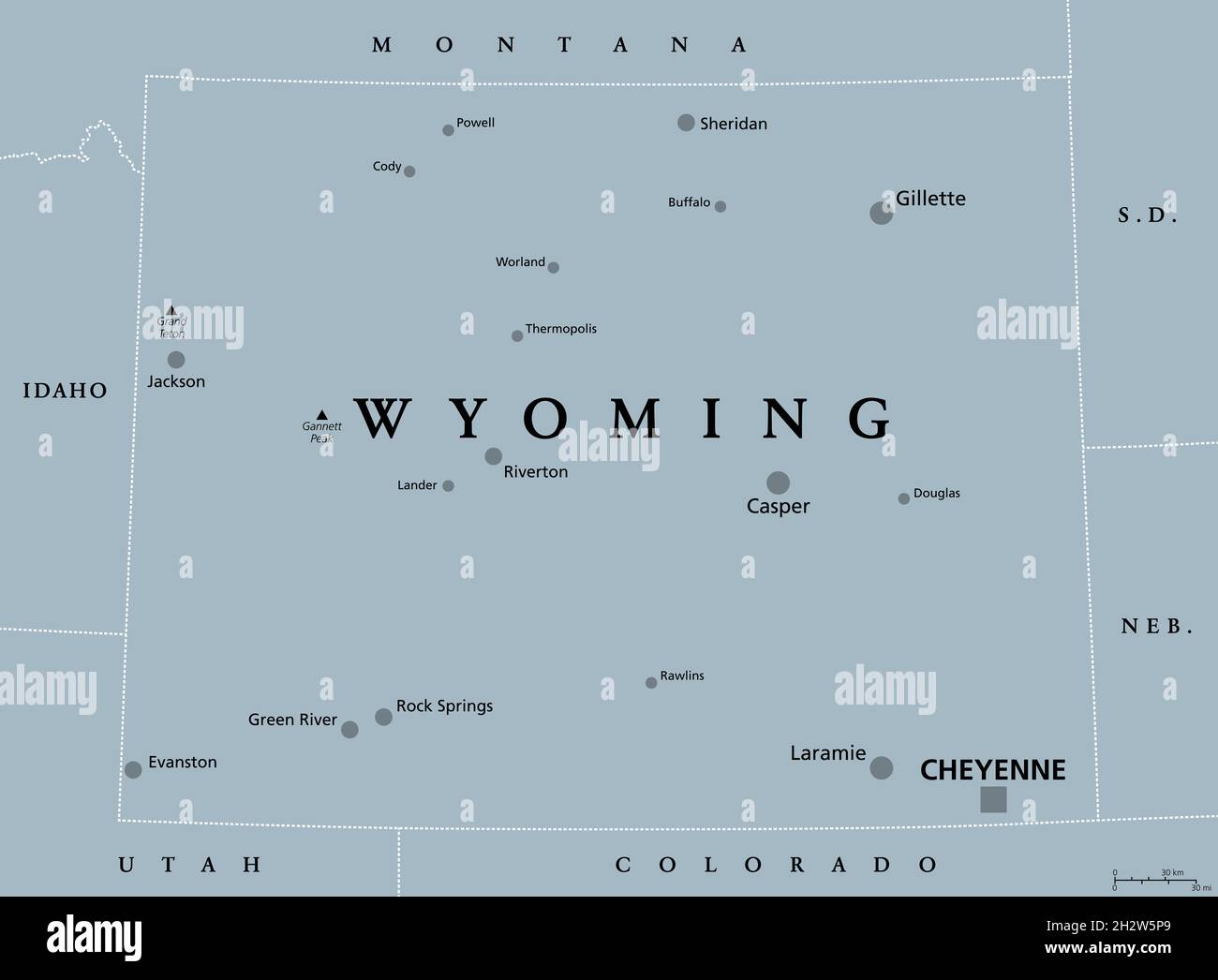 Wyoming, WY, gray political map, with the capital Cheyenne. State in the Mountain West subregion of the Western United States of America. Stock Photohttps://www.alamy.com/image-license-details/?v=1https://www.alamy.com/wyoming-wy-gray-political-map-with-the-capital-cheyenne-state-in-the-mountain-west-subregion-of-the-western-united-states-of-america-image449252225.html
RF2H2W5P9–Wyoming, WY, gray political map, with the capital Cheyenne. State in the Mountain West subregion of the Western United States of America.
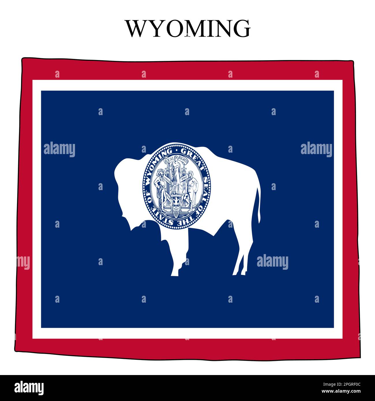 Wyoming map vector illustration. Global economy. State in America. North America. United States. America. U.S.A Stock Vectorhttps://www.alamy.com/image-license-details/?v=1https://www.alamy.com/wyoming-map-vector-illustration-global-economy-state-in-america-north-america-united-states-america-usa-image543872572.html
RF2PGRF0C–Wyoming map vector illustration. Global economy. State in America. North America. United States. America. U.S.A
 Wyoming map typography. l Love Wyoming. US state map typography. Stock Vectorhttps://www.alamy.com/image-license-details/?v=1https://www.alamy.com/wyoming-map-typography-l-love-wyoming-us-state-map-typography-image477304454.html
RF2JMF2KJ–Wyoming map typography. l Love Wyoming. US state map typography.
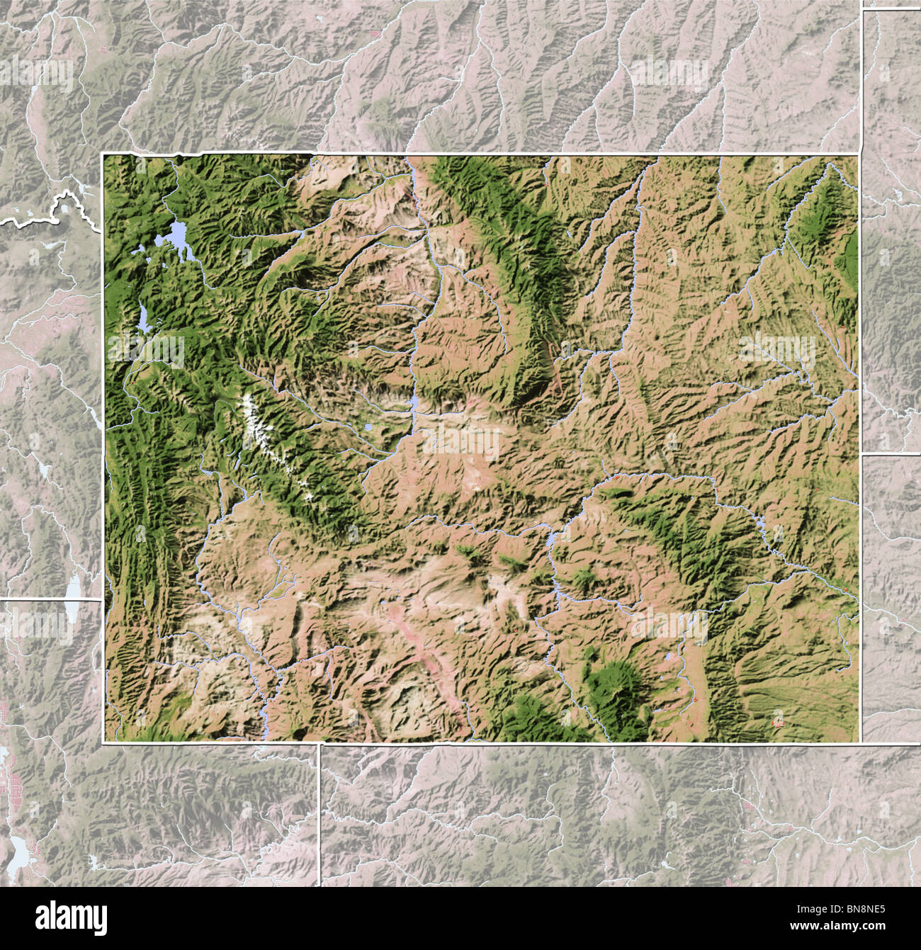 Wyoming, shaded relief map. Stock Photohttps://www.alamy.com/image-license-details/?v=1https://www.alamy.com/stock-photo-wyoming-shaded-relief-map-30310621.html
RFBN8NE5–Wyoming, shaded relief map.
 Map of Wyoming on green felt Stock Photohttps://www.alamy.com/image-license-details/?v=1https://www.alamy.com/map-of-wyoming-on-green-felt-image402462656.html
RF2EANN68–Map of Wyoming on green felt
 Wyoming state map with waving flag. Alpha channel background. Stock Photohttps://www.alamy.com/image-license-details/?v=1https://www.alamy.com/wyoming-state-map-with-waving-flag-alpha-channel-background-image484767511.html
RF2K4K1WB–Wyoming state map with waving flag. Alpha channel background.
RF2T59Y8G–Wyoming state map silhouette icon
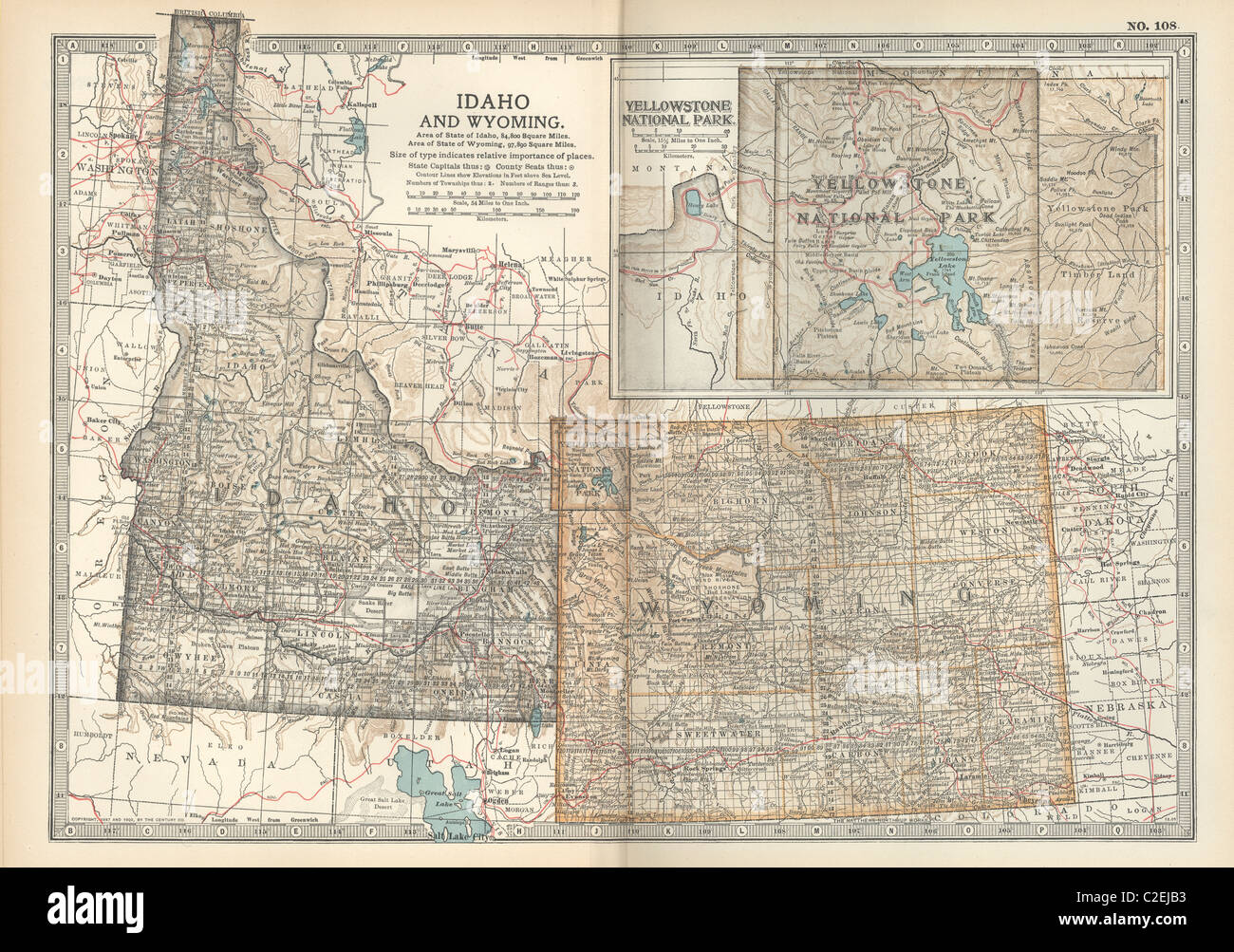 Map of Idaho and Wyoming Stock Photohttps://www.alamy.com/image-license-details/?v=1https://www.alamy.com/stock-photo-map-of-idaho-and-wyoming-35971799.html
RMC2EJB3–Map of Idaho and Wyoming
 Map of Wyoming in the Town of Melrose. 1875 Stock Photohttps://www.alamy.com/image-license-details/?v=1https://www.alamy.com/map-of-wyoming-in-the-town-of-melrose-1875-image184413944.html
RMMM0NT8–Map of Wyoming in the Town of Melrose. 1875
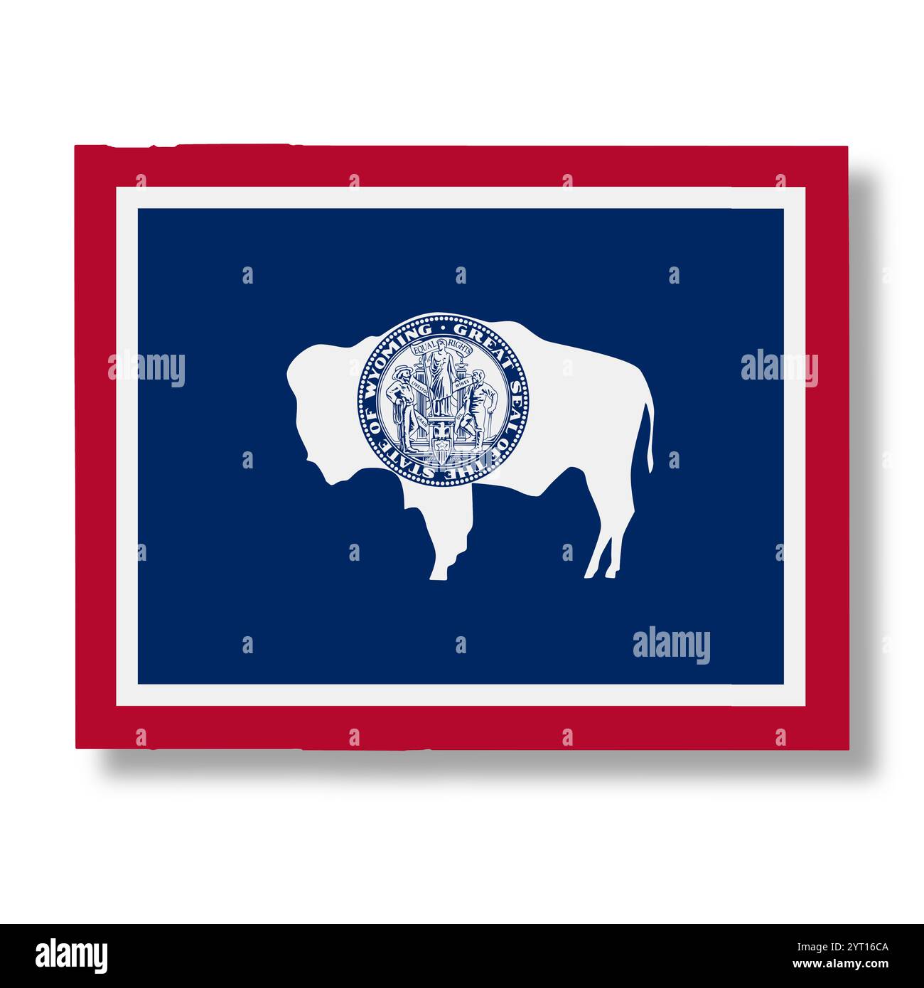 Wyoming State flag map Illustration Stock Photohttps://www.alamy.com/image-license-details/?v=1https://www.alamy.com/wyoming-state-flag-map-illustration-image634351994.html
RF2YT16CA–Wyoming State flag map Illustration
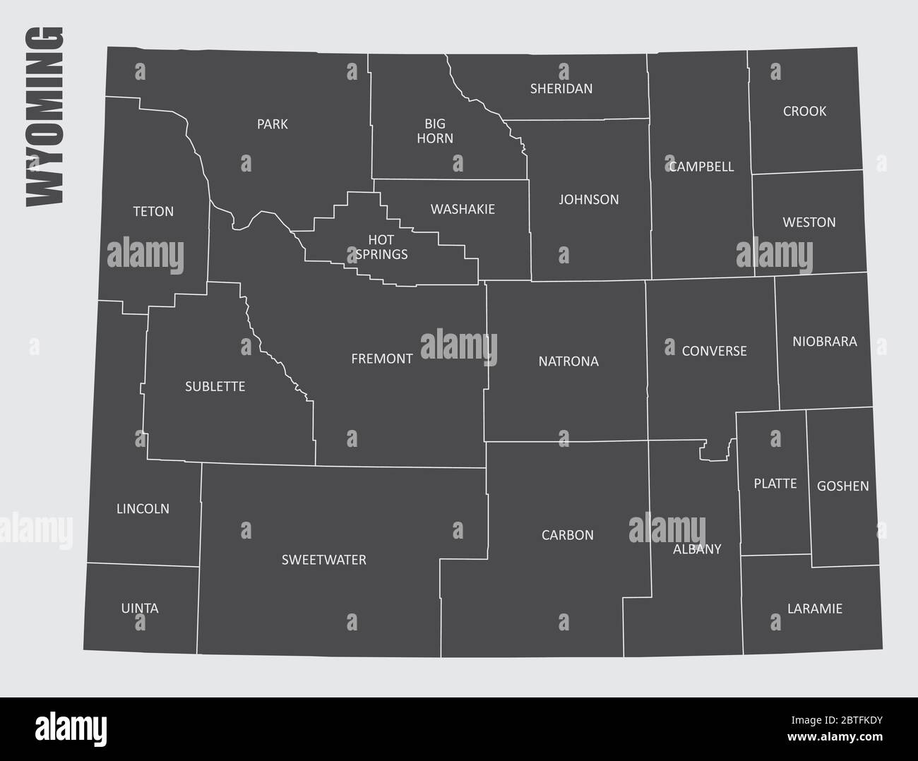 Wyoming State map Stock Vectorhttps://www.alamy.com/image-license-details/?v=1https://www.alamy.com/wyoming-state-map-image359303671.html
RF2BTFKDY–Wyoming State map
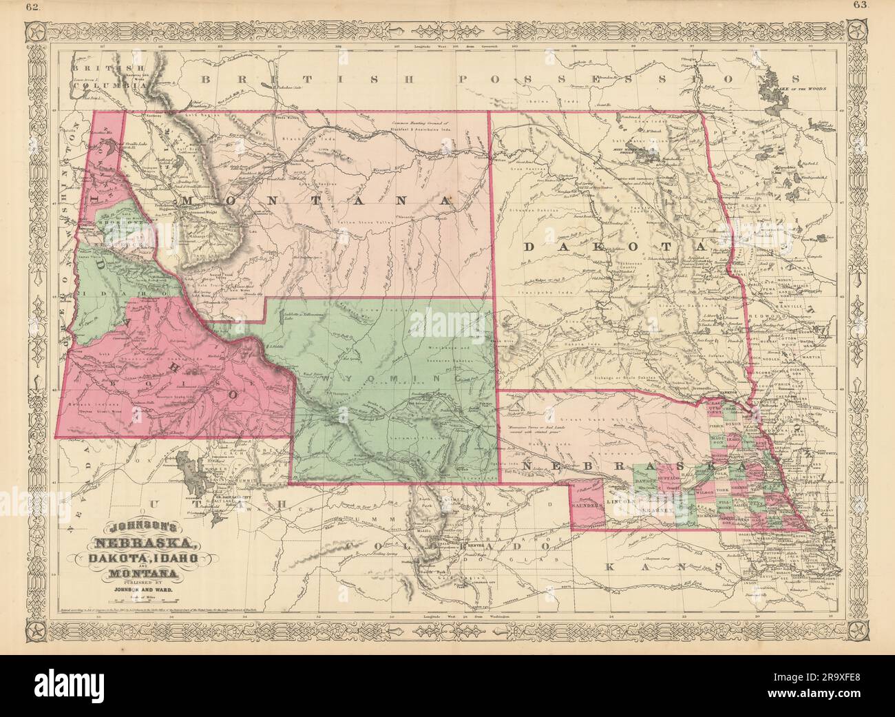 Johnson's Nebraska, Dakota, Idaho and Montana. Wyoming 1866 old antique map Stock Photohttps://www.alamy.com/image-license-details/?v=1https://www.alamy.com/johnsons-nebraska-dakota-idaho-and-montana-wyoming-1866-old-antique-map-image556846592.html
RF2R9XFE8–Johnson's Nebraska, Dakota, Idaho and Montana. Wyoming 1866 old antique map
 Wyoming Map Flag. Map of WY, USA with the state flag. United States, America, American, United States of America, US State Banner. Vector illustration Stock Vectorhttps://www.alamy.com/image-license-details/?v=1https://www.alamy.com/wyoming-map-flag-map-of-wy-usa-with-the-state-flag-united-states-america-american-united-states-of-america-us-state-banner-vector-illustration-image465274380.html
RF2J0Y264–Wyoming Map Flag. Map of WY, USA with the state flag. United States, America, American, United States of America, US State Banner. Vector illustration
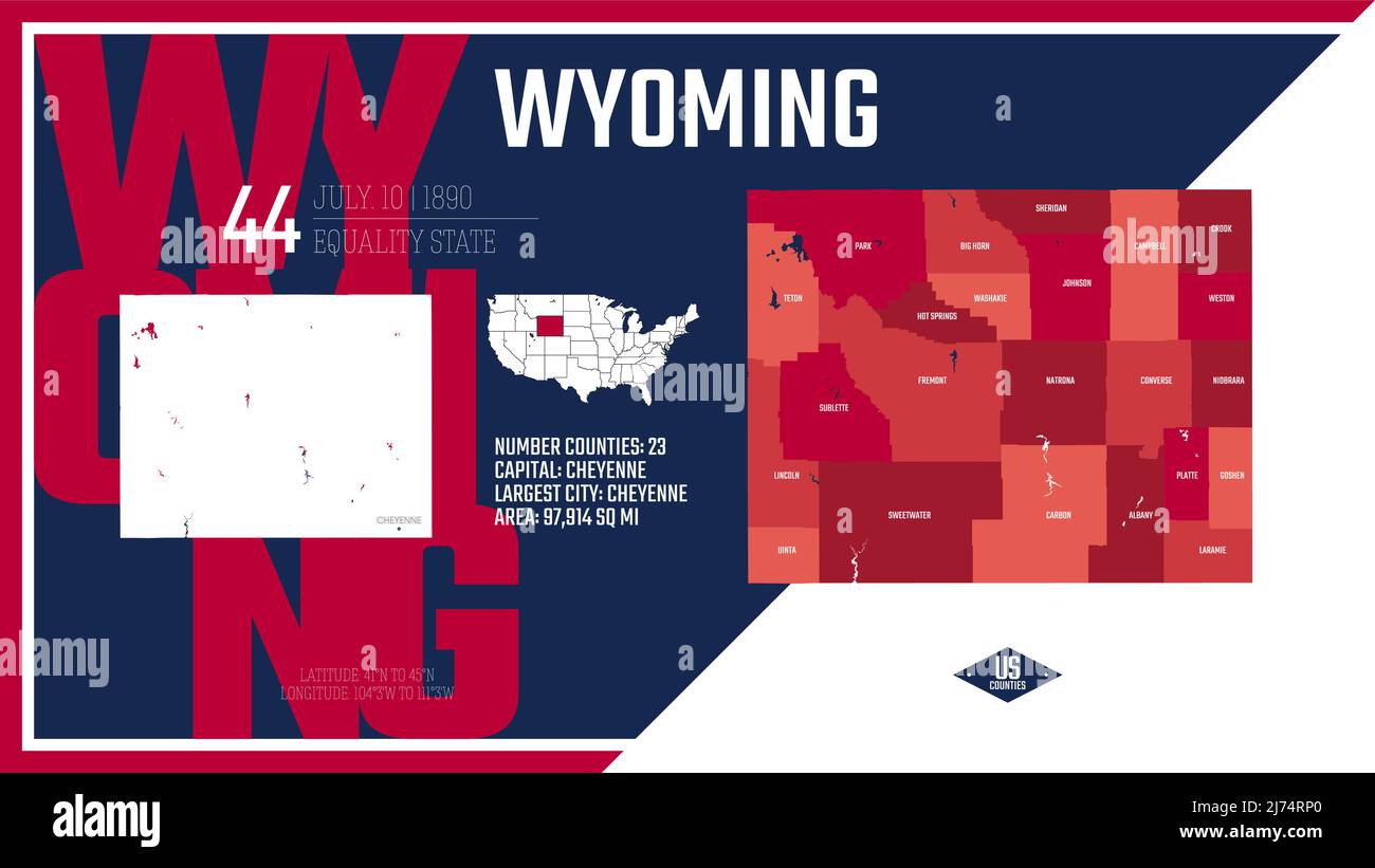 44 of 50 states of the United States, divided into counties with territory nicknames, Detailed vector Wyoming Map with name and date admitted to the U Stock Vectorhttps://www.alamy.com/image-license-details/?v=1https://www.alamy.com/44-of-50-states-of-the-united-states-divided-into-counties-with-territory-nicknames-detailed-vector-wyoming-map-with-name-and-date-admitted-to-the-u-image469088984.html
RF2J74RP0–44 of 50 states of the United States, divided into counties with territory nicknames, Detailed vector Wyoming Map with name and date admitted to the U
 Wyoming map typography. l Love Wyoming. US state map typography. Stock Vectorhttps://www.alamy.com/image-license-details/?v=1https://www.alamy.com/wyoming-map-typography-l-love-wyoming-us-state-map-typography-image467944673.html
RF2J58M5N–Wyoming map typography. l Love Wyoming. US state map typography.
 Wyoming map flag on sunburst illustration Stock Photohttps://www.alamy.com/image-license-details/?v=1https://www.alamy.com/stock-photo-wyoming-map-flag-on-sunburst-illustration-83074383.html
RFER4A67–Wyoming map flag on sunburst illustration
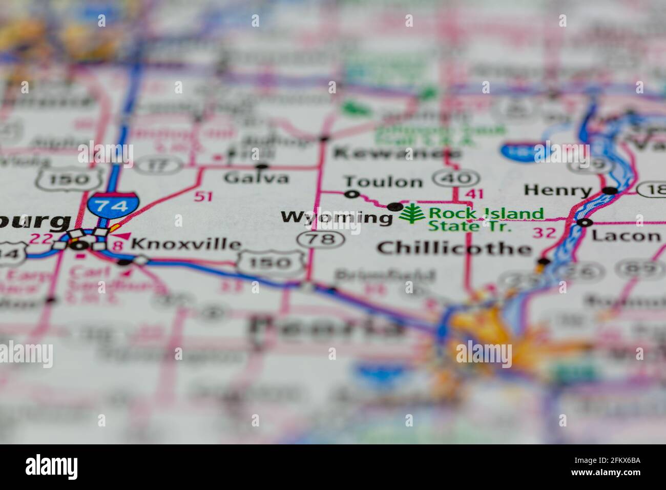 Wyoming Illinois Shown on a Geography map or road map Stock Photohttps://www.alamy.com/image-license-details/?v=1https://www.alamy.com/wyoming-illinois-shown-on-a-geography-map-or-road-map-image425303070.html
RM2FKX6BA–Wyoming Illinois Shown on a Geography map or road map
 Wyoming map with stamp vintage vector background Stock Photohttps://www.alamy.com/image-license-details/?v=1https://www.alamy.com/wyoming-map-with-stamp-vintage-vector-background-image477469009.html
RF2JMPGGH–Wyoming map with stamp vintage vector background
 Grunge Wyoming American interstate highway road shield isolated on a white background. Stock Photohttps://www.alamy.com/image-license-details/?v=1https://www.alamy.com/stock-photo-grunge-wyoming-american-interstate-highway-road-shield-isolated-on-100396992.html
RMFR9DAT–Grunge Wyoming American interstate highway road shield isolated on a white background.
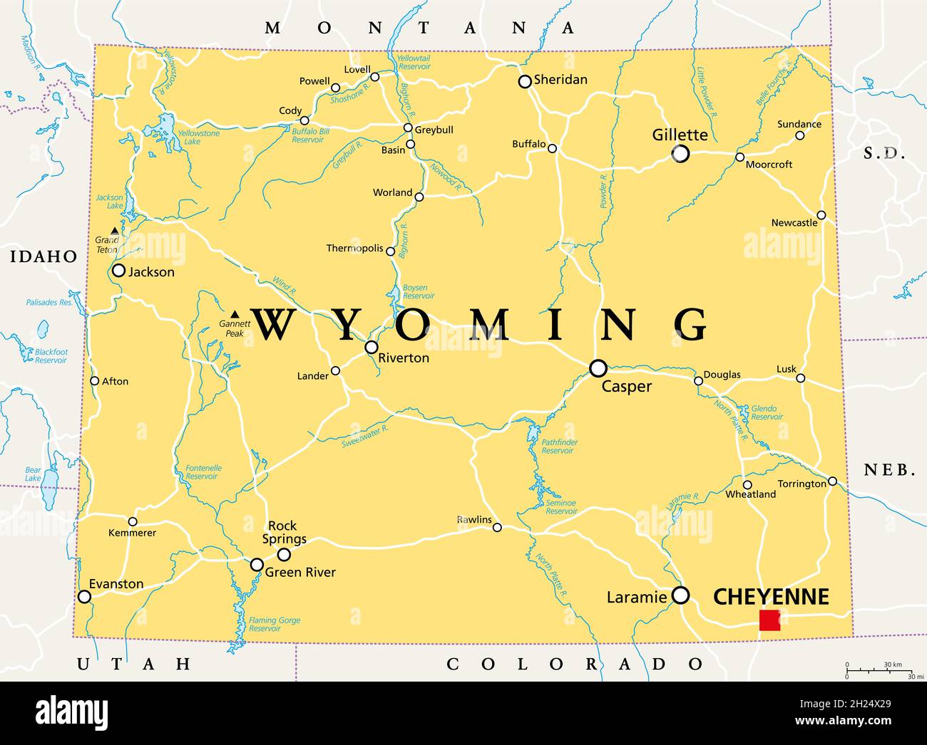 Wyoming, WY, political map, with the capital Cheyenne. State in the Mountain West subregion of the Western United States of America, Equality State. Stock Photohttps://www.alamy.com/image-license-details/?v=1https://www.alamy.com/wyoming-wy-political-map-with-the-capital-cheyenne-state-in-the-mountain-west-subregion-of-the-western-united-states-of-america-equality-state-image448807137.html
RF2H24X29–Wyoming, WY, political map, with the capital Cheyenne. State in the Mountain West subregion of the Western United States of America, Equality State.
 Wyoming line art map Stock Vectorhttps://www.alamy.com/image-license-details/?v=1https://www.alamy.com/wyoming-line-art-map-image178872543.html
RFMB09N3–Wyoming line art map
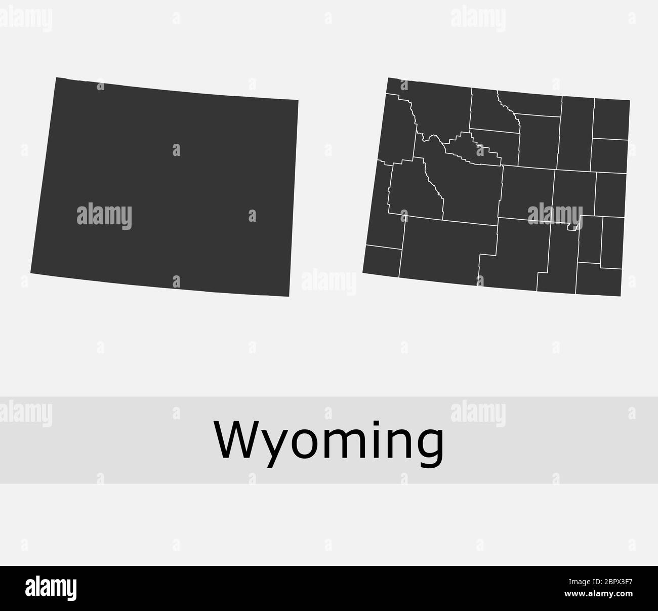 Wyoming maps vector outline counties, townships, regions, municipalities, departments, borders Stock Vectorhttps://www.alamy.com/image-license-details/?v=1https://www.alamy.com/wyoming-maps-vector-outline-counties-townships-regions-municipalities-departments-borders-image358303323.html
RF2BPX3F7–Wyoming maps vector outline counties, townships, regions, municipalities, departments, borders
 Greater Yellowstone Ecosystem map. Yellowstone National Park, Wyoming USA. The US National Park by Ferdinand Vandeveer Hayden, Gustavus Cheyney Doane and Nathaniel Pitt Langford, 1870-1872 Stock Photohttps://www.alamy.com/image-license-details/?v=1https://www.alamy.com/greater-yellowstone-ecosystem-map-yellowstone-national-park-wyoming-usa-the-us-national-park-by-ferdinand-vandeveer-hayden-gustavus-cheyney-doane-and-nathaniel-pitt-langford-1870-1872-image486727670.html
RM2K7TA32–Greater Yellowstone Ecosystem map. Yellowstone National Park, Wyoming USA. The US National Park by Ferdinand Vandeveer Hayden, Gustavus Cheyney Doane and Nathaniel Pitt Langford, 1870-1872
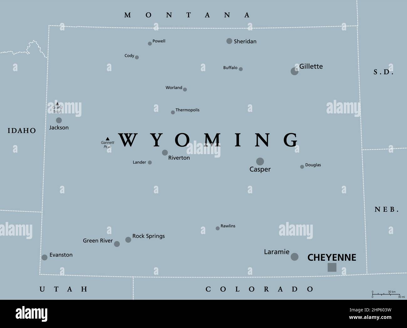 Wyoming, WY, gray political map, US state, Equality State Stock Vectorhttps://www.alamy.com/image-license-details/?v=1https://www.alamy.com/wyoming-wy-gray-political-map-us-state-equality-state-image461123821.html
RF2HP603W–Wyoming, WY, gray political map, US state, Equality State
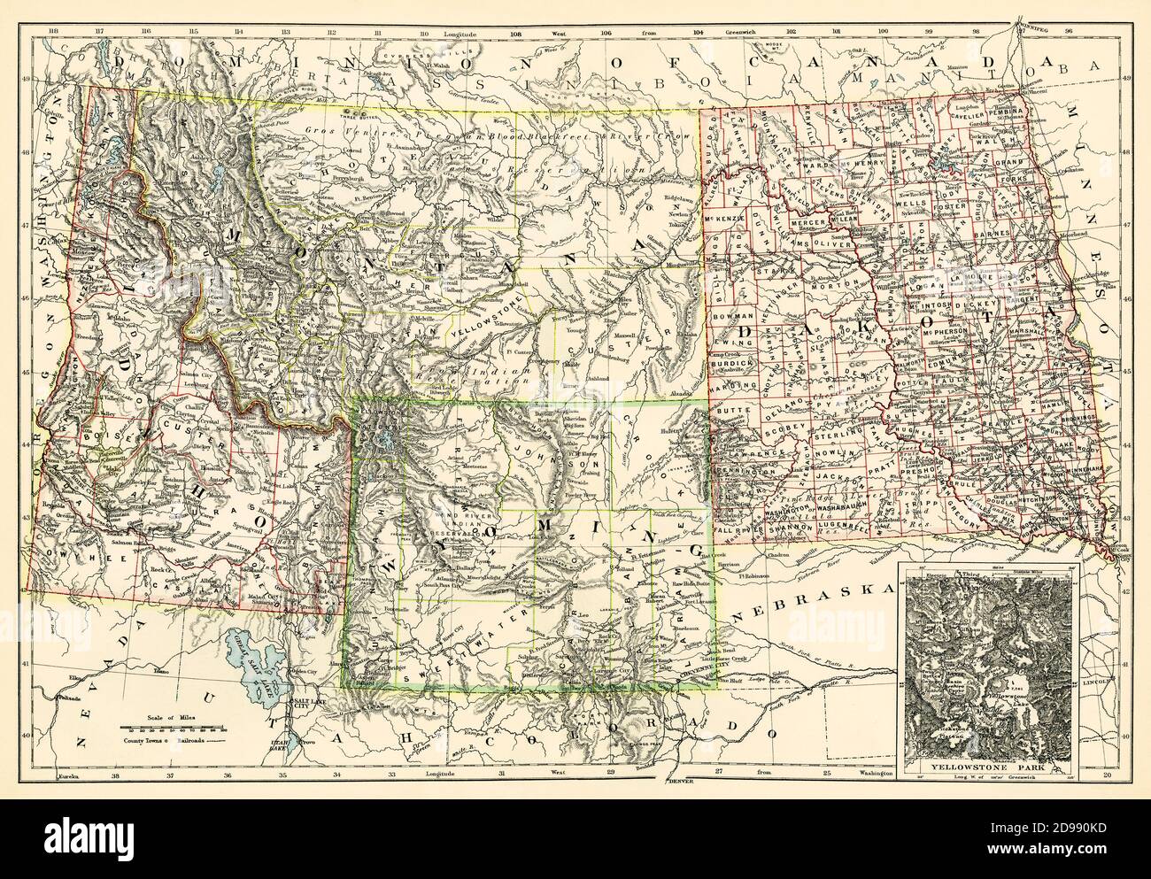 Map of Dakota Territory, Montana, Idaho, and Wyoming, 1870s. Color lithograph Stock Photohttps://www.alamy.com/image-license-details/?v=1https://www.alamy.com/map-of-dakota-territory-montana-idaho-and-wyoming-1870s-color-lithograph-image384358113.html
RM2D990KD–Map of Dakota Territory, Montana, Idaho, and Wyoming, 1870s. Color lithograph
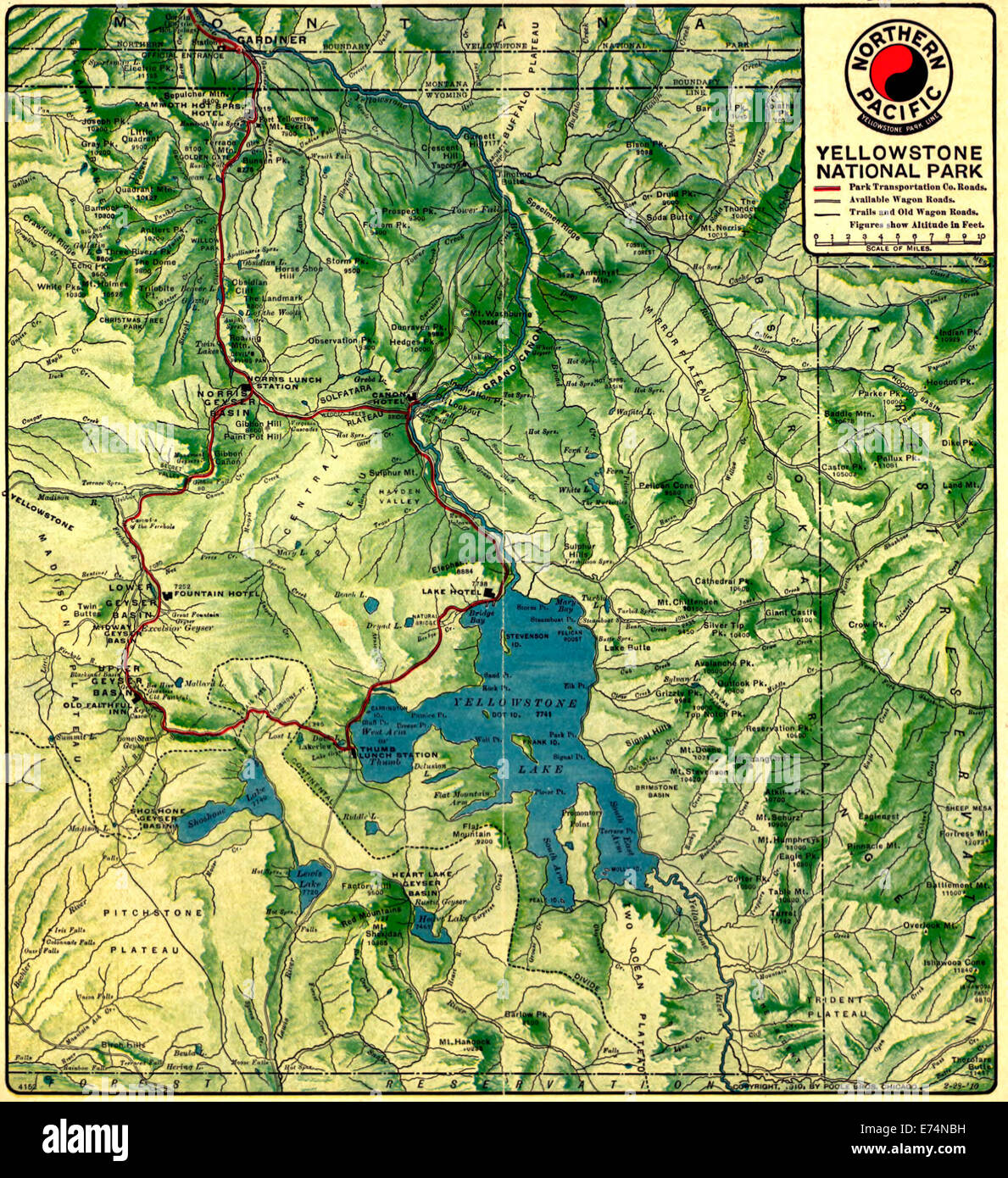 Map of Yellowstone National Park, Wyoming, 1910 Stock Photohttps://www.alamy.com/image-license-details/?v=1https://www.alamy.com/stock-photo-map-of-yellowstone-national-park-wyoming-1910-73248661.html
RME74NBH–Map of Yellowstone National Park, Wyoming, 1910
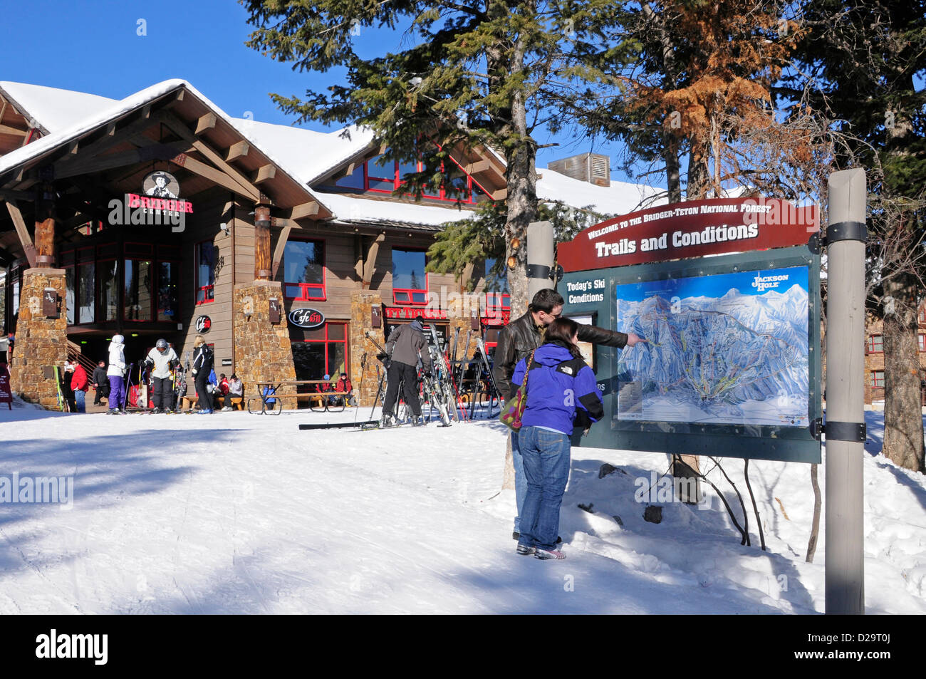 Jackson Hole, Wyoming. Ski Tram Stock Photohttps://www.alamy.com/image-license-details/?v=1https://www.alamy.com/stock-photo-jackson-hole-wyoming-ski-tram-53076818.html
RMD29T0J–Jackson Hole, Wyoming. Ski Tram
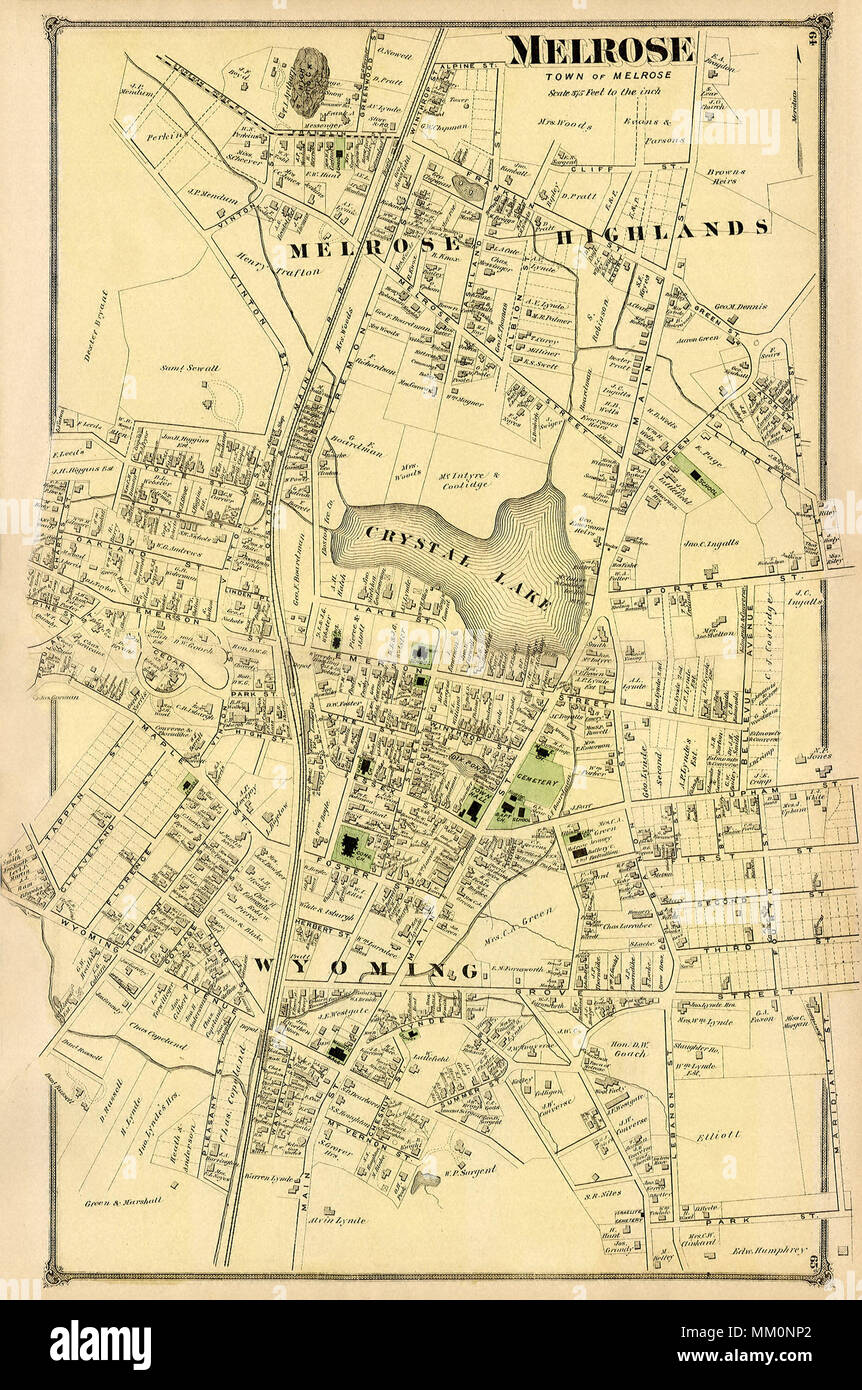 Map of Wyoming in the Town of Melrose. 1875 Stock Photohttps://www.alamy.com/image-license-details/?v=1https://www.alamy.com/map-of-wyoming-in-the-town-of-melrose-1875-image184413882.html
RMMM0NP2–Map of Wyoming in the Town of Melrose. 1875
 Satellite Image of Wyoming in USA with covered by the State Flag Stock Photohttps://www.alamy.com/image-license-details/?v=1https://www.alamy.com/stock-photo-satellite-image-of-wyoming-in-usa-with-covered-by-the-state-flag-10082943.html
RFA0XBCG–Satellite Image of Wyoming in USA with covered by the State Flag
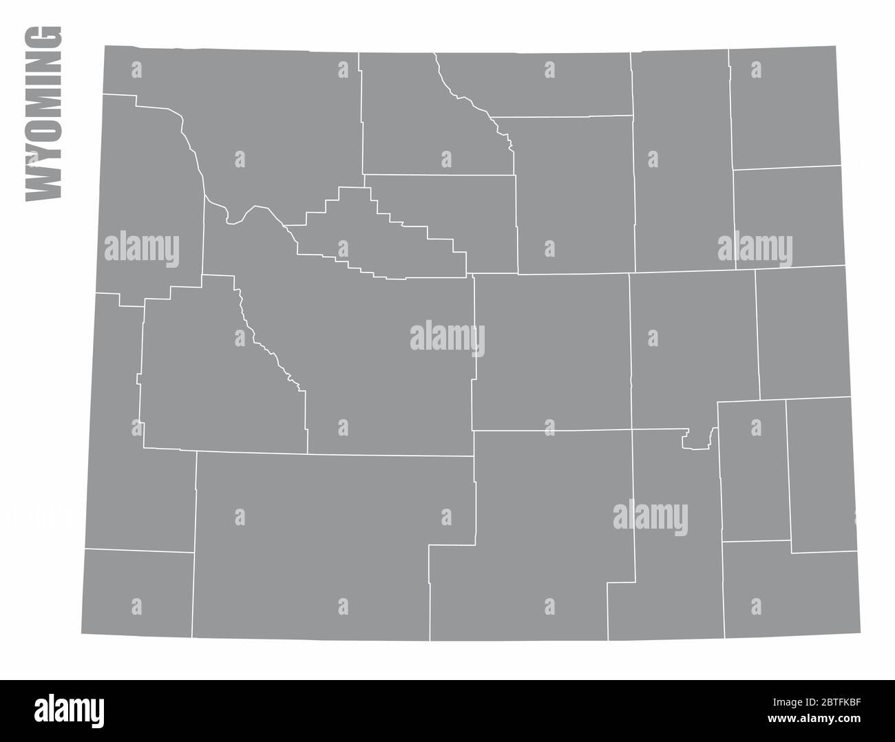 Wyoming State map Stock Vectorhttps://www.alamy.com/image-license-details/?v=1https://www.alamy.com/wyoming-state-map-image359303603.html
RF2BTFKBF–Wyoming State map
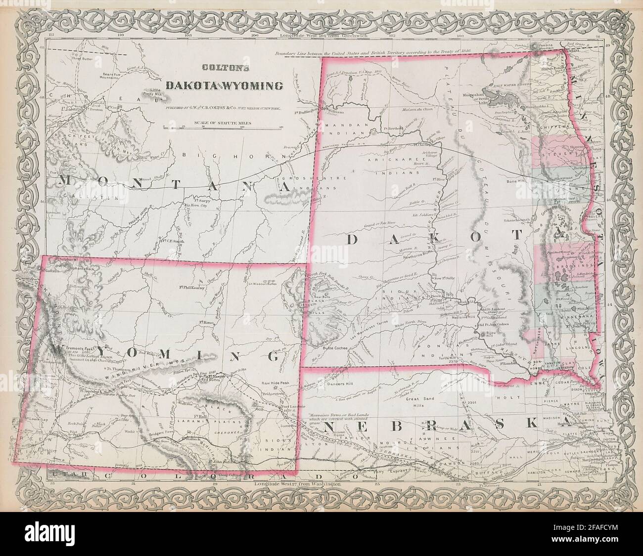 Colton's Dakota & Wyoming. Decorative antique US state map 1869 old Stock Photohttps://www.alamy.com/image-license-details/?v=1https://www.alamy.com/coltons-dakota-wyoming-decorative-antique-us-state-map-1869-old-image419534856.html
RF2FAFCYM–Colton's Dakota & Wyoming. Decorative antique US state map 1869 old
RF2GCK5BN–Wyoming Map on American Flag. WY, USA State Map on US Flag. EPS Vector Graphic Clipart Icon
 Clipboard with drawing Wyoming map. Vector illustration. Stock Vectorhttps://www.alamy.com/image-license-details/?v=1https://www.alamy.com/stock-photo-clipboard-with-drawing-wyoming-map-vector-illustration-89617043.html
RFF5PBCK–Clipboard with drawing Wyoming map. Vector illustration.
 aerial map view Jackson Wyoming Stock Photohttps://www.alamy.com/image-license-details/?v=1https://www.alamy.com/stock-photo-aerial-map-view-jackson-wyoming-30557500.html
RFBNM0B8–aerial map view Jackson Wyoming
 Wyoming Stock Photohttps://www.alamy.com/image-license-details/?v=1https://www.alamy.com/stock-photo-wyoming-134988054.html
RMHRH6HX–Wyoming
 LaGrange Wyoming USA shown on a road map or Geography map Stock Photohttps://www.alamy.com/image-license-details/?v=1https://www.alamy.com/lagrange-wyoming-usa-shown-on-a-road-map-or-geography-map-image438046549.html
RM2GCJMRH–LaGrange Wyoming USA shown on a road map or Geography map
 Wyoming Map Brand Stock Vectorhttps://www.alamy.com/image-license-details/?v=1https://www.alamy.com/stock-photo-wyoming-map-brand-115582955.html
RFGM176K–Wyoming Map Brand
 Wyoming State Interstate road sign Stock Photohttps://www.alamy.com/image-license-details/?v=1https://www.alamy.com/wyoming-state-interstate-road-sign-image367792831.html
RF2CAABE7–Wyoming State Interstate road sign
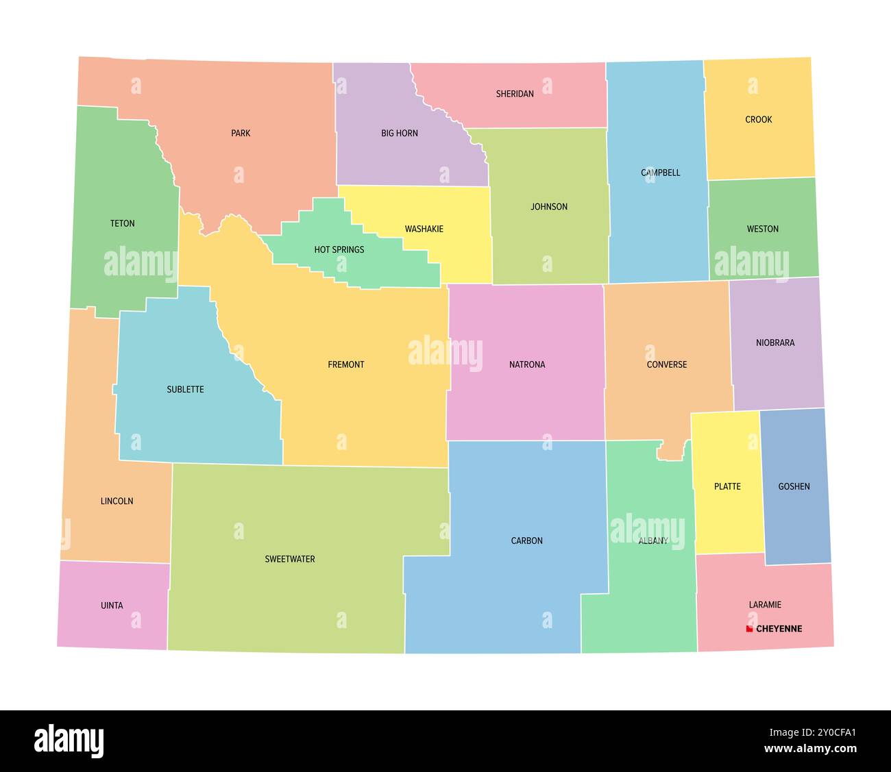 Wyoming, U.S. state, subdivided into 23 counties, multi colored political map with capital Cheyenne, borders and county names. Stock Photohttps://www.alamy.com/image-license-details/?v=1https://www.alamy.com/wyoming-us-state-subdivided-into-23-counties-multi-colored-political-map-with-capital-cheyenne-borders-and-county-names-image619848713.html
RF2Y0CFA1–Wyoming, U.S. state, subdivided into 23 counties, multi colored political map with capital Cheyenne, borders and county names.
 Wyoming outline map set Stock Vectorhttps://www.alamy.com/image-license-details/?v=1https://www.alamy.com/wyoming-outline-map-set-image177776457.html
RFM96BK5–Wyoming outline map set
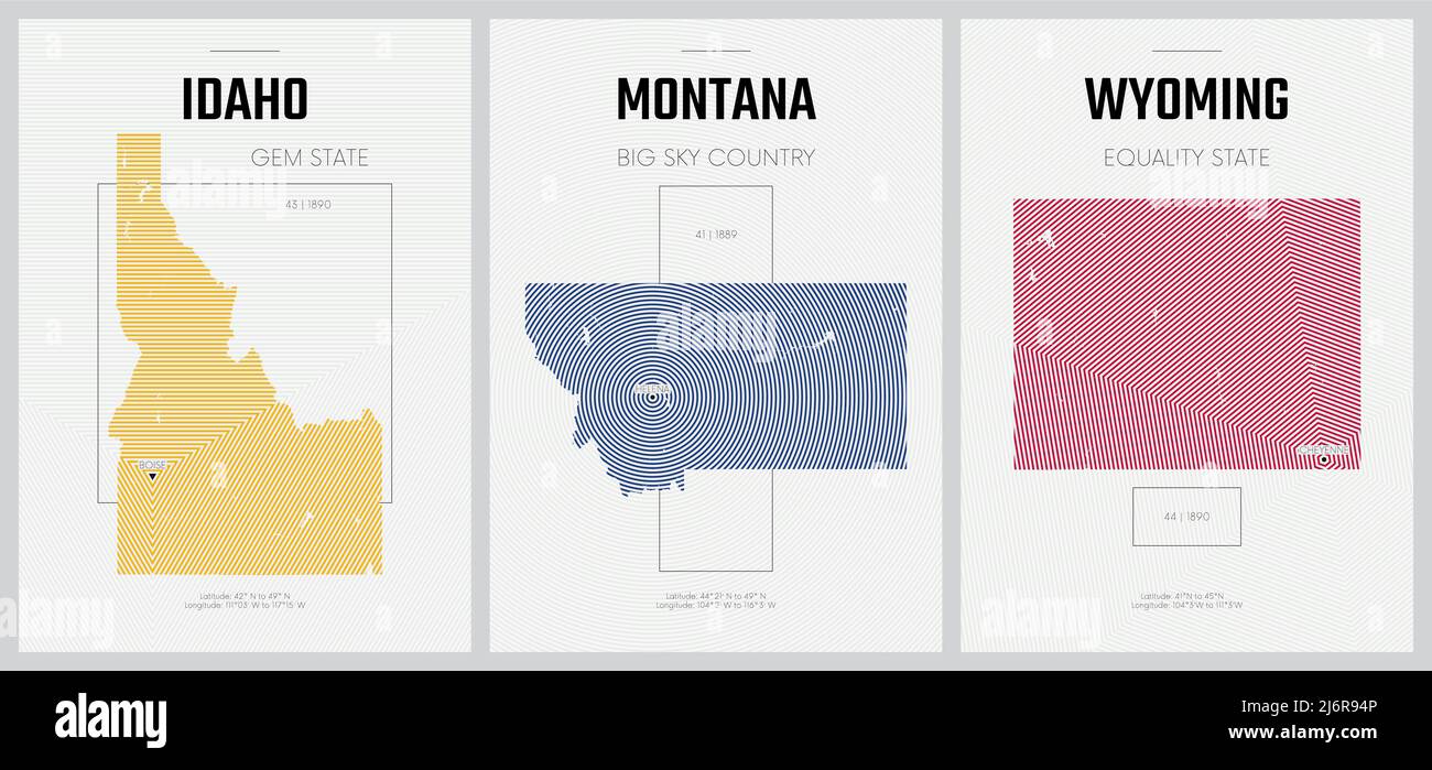 Vector posters detailed silhouettes maps of the states of America with abstract linear pattern, Division Mountain - Idaho, Montana, Wyoming Stock Vectorhttps://www.alamy.com/image-license-details/?v=1https://www.alamy.com/vector-posters-detailed-silhouettes-maps-of-the-states-of-america-with-abstract-linear-pattern-division-mountain-idaho-montana-wyoming-image468879958.html
RF2J6R94P–Vector posters detailed silhouettes maps of the states of America with abstract linear pattern, Division Mountain - Idaho, Montana, Wyoming
 Map of The United States of America (USA) State of Wyoming - Illustration on White Background. Stock Photohttps://www.alamy.com/image-license-details/?v=1https://www.alamy.com/map-of-the-united-states-of-america-usa-state-of-wyoming-illustration-on-white-background-image247457898.html
RFTAGK22–Map of The United States of America (USA) State of Wyoming - Illustration on White Background.
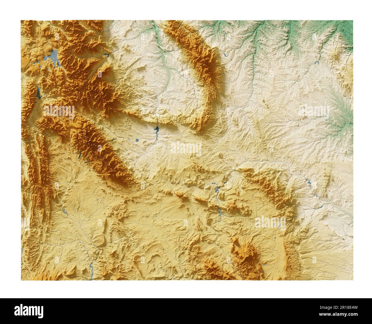 The US state of Wyoming. Highly detailed 3D rendering of shaded relief map with rivers and lakes. Colored by elevation. Created with satellite data. Stock Photohttps://www.alamy.com/image-license-details/?v=1https://www.alamy.com/the-us-state-of-wyoming-highly-detailed-3d-rendering-of-shaded-relief-map-with-rivers-and-lakes-colored-by-elevation-created-with-satellite-data-image551533161.html
RF2R18E4W–The US state of Wyoming. Highly detailed 3D rendering of shaded relief map with rivers and lakes. Colored by elevation. Created with satellite data.
 1884 Bradley Map of Montana, Wyoming and Idaho Stock Photohttps://www.alamy.com/image-license-details/?v=1https://www.alamy.com/stock-photo-1884-bradley-map-of-montana-wyoming-and-idaho-50539184.html
RMCX676T–1884 Bradley Map of Montana, Wyoming and Idaho
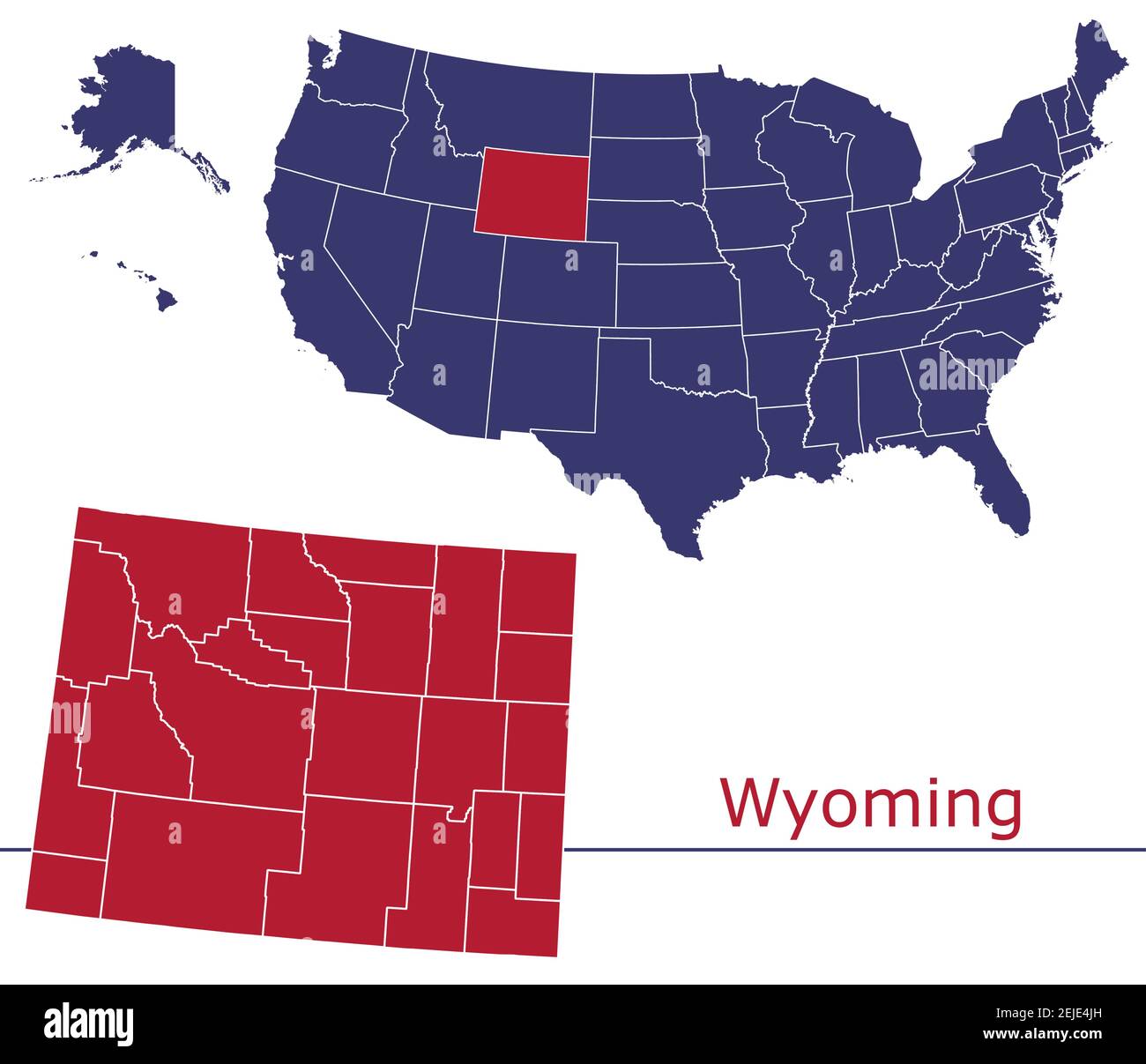 Wyoming counties vector map outline with USA map colors national flag Stock Vectorhttps://www.alamy.com/image-license-details/?v=1https://www.alamy.com/wyoming-counties-vector-map-outline-with-usa-map-colors-national-flag-image407213257.html
RF2EJE4JH–Wyoming counties vector map outline with USA map colors national flag
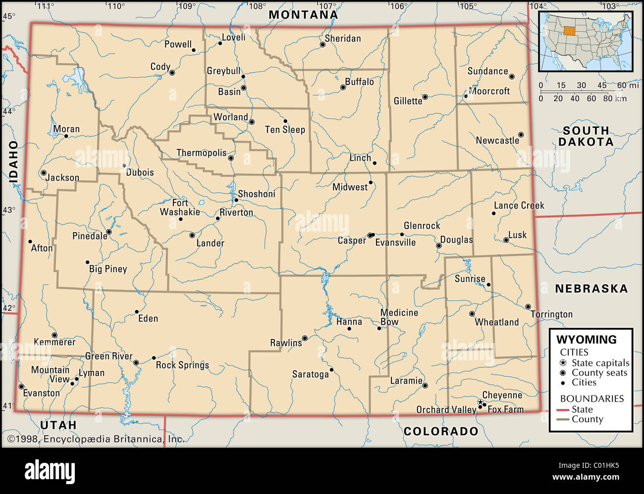 Political map of Wyoming Stock Photohttps://www.alamy.com/image-license-details/?v=1https://www.alamy.com/stock-photo-political-map-of-wyoming-34456553.html
RMC01HK5–Political map of Wyoming
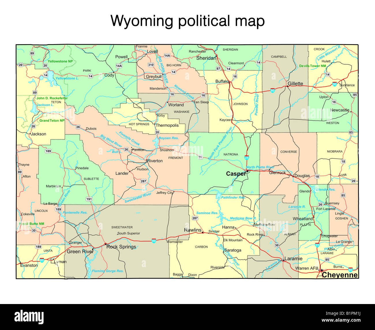 Wyoming state political map Stock Photohttps://www.alamy.com/image-license-details/?v=1https://www.alamy.com/stock-photo-wyoming-state-political-map-18323694.html
RFB1PM1J–Wyoming state political map
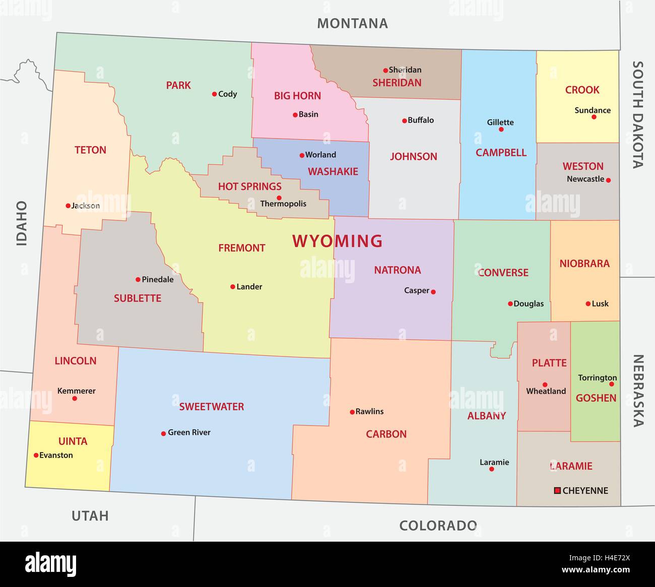 wyoming administrative map Stock Vectorhttps://www.alamy.com/image-license-details/?v=1https://www.alamy.com/stock-photo-wyoming-administrative-map-123244098.html
RFH4E72X–wyoming administrative map
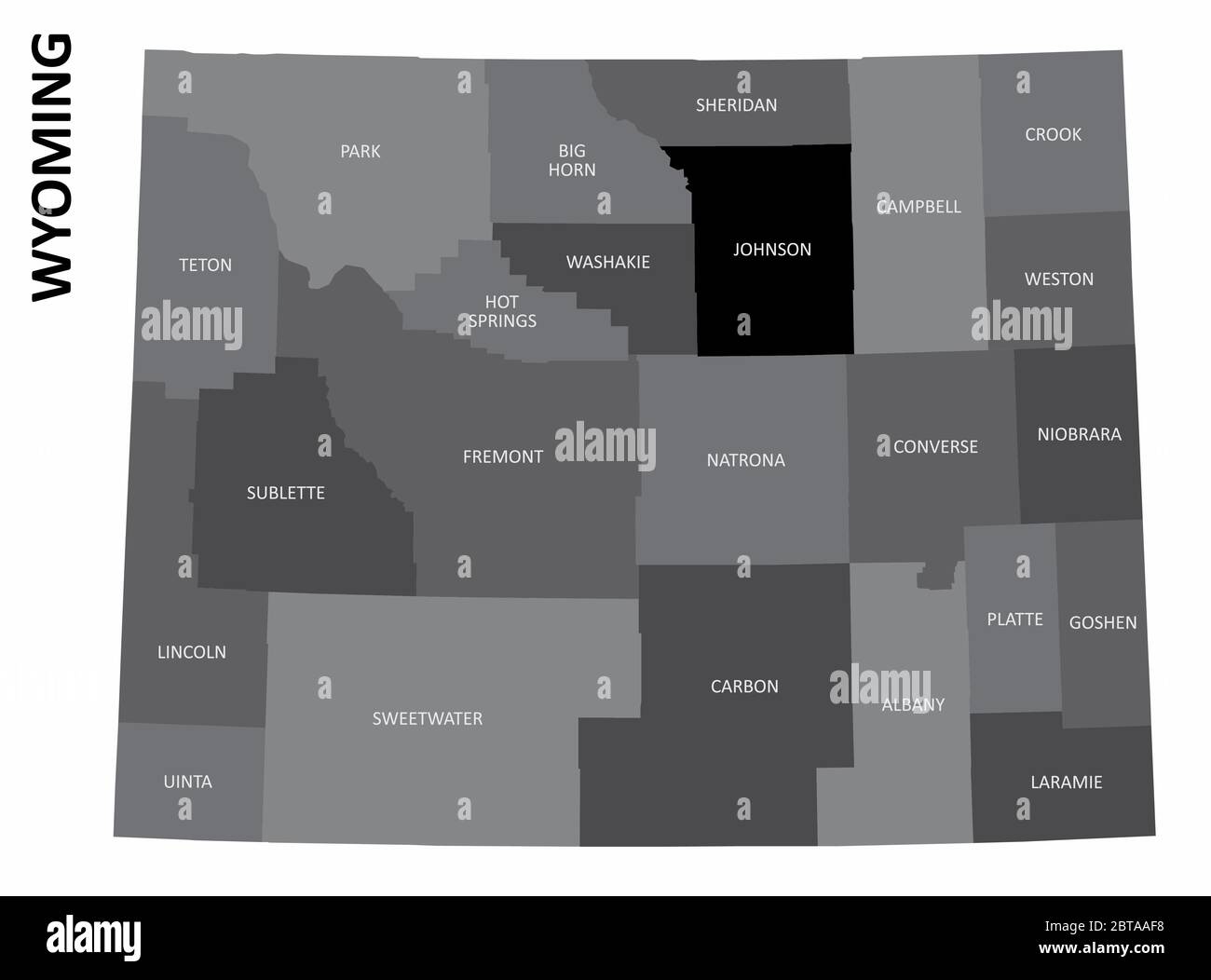 Wyoming State map Stock Vectorhttps://www.alamy.com/image-license-details/?v=1https://www.alamy.com/wyoming-state-map-image359186892.html
RF2BTAAF8–Wyoming State map
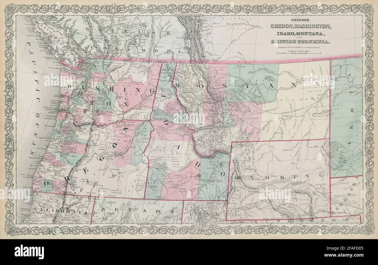 Colton's Oregon, Washington, Idaho, Montana & British Columbia. Wyoming 1869 map Stock Photohttps://www.alamy.com/image-license-details/?v=1https://www.alamy.com/coltons-oregon-washington-idaho-montana-british-columbia-wyoming-1869-map-image419534869.html
RF2FAFD05–Colton's Oregon, Washington, Idaho, Montana & British Columbia. Wyoming 1869 map
 Wyoming Map Flag. Map of WY, USA with the state flag isolated on a white background. United States, America, American, United States of America, US St Stock Vectorhttps://www.alamy.com/image-license-details/?v=1https://www.alamy.com/wyoming-map-flag-map-of-wy-usa-with-the-state-flag-isolated-on-a-white-background-united-states-america-american-united-states-of-america-us-st-image417032402.html
RF2F6DD2A–Wyoming Map Flag. Map of WY, USA with the state flag isolated on a white background. United States, America, American, United States of America, US St
 Wyoming on the map of United States of America in soft grunge and vintage style, like old paper with watercolor painting. Stock Photohttps://www.alamy.com/image-license-details/?v=1https://www.alamy.com/wyoming-on-the-map-of-united-states-of-america-in-soft-grunge-and-vintage-style-like-old-paper-with-watercolor-painting-image632522181.html
RF2YN1TDW–Wyoming on the map of United States of America in soft grunge and vintage style, like old paper with watercolor painting.
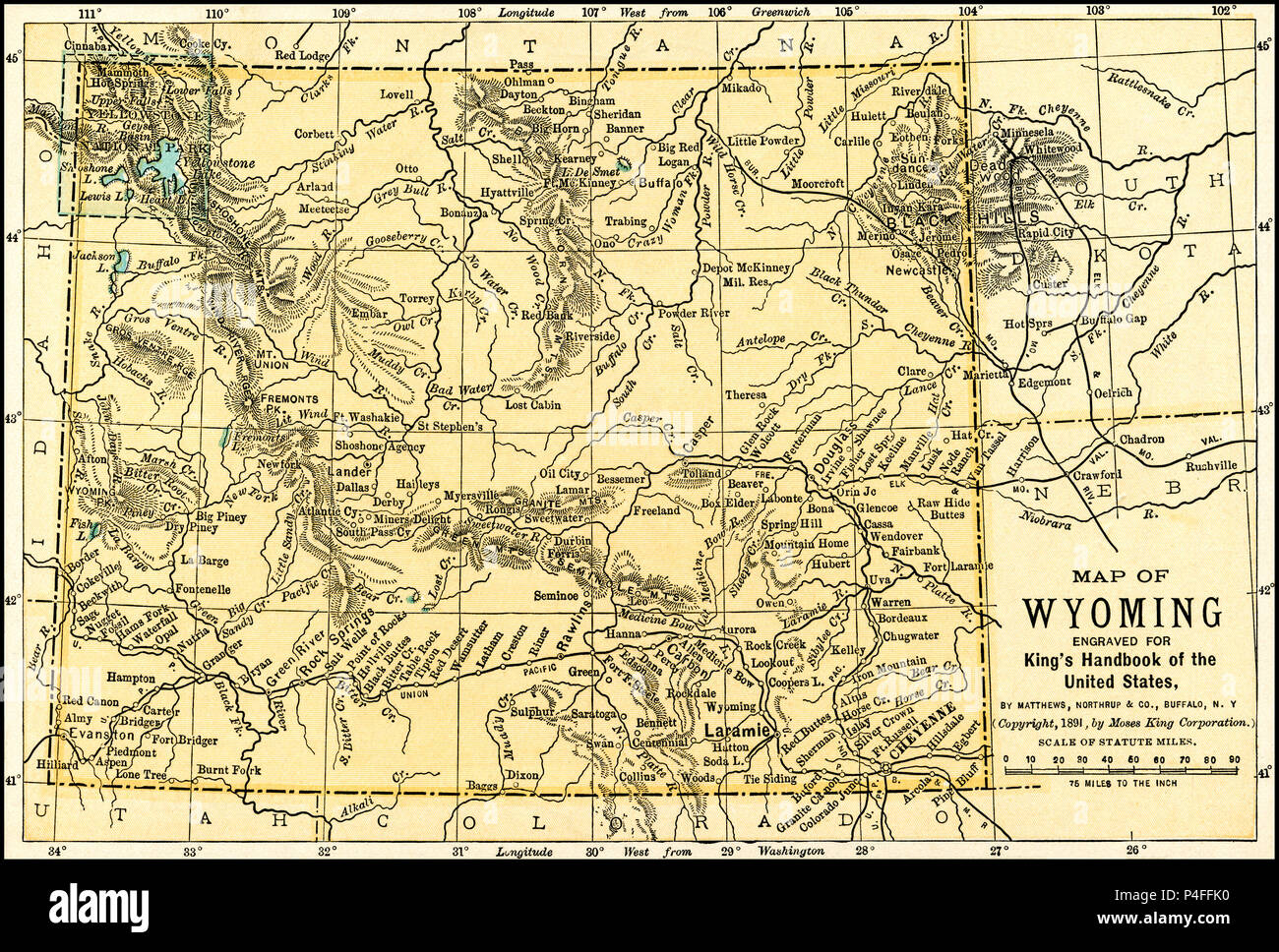 Wyoming Antique Map 1891: Map of Wyoming from an 1891 guidebook: 'King's Hand-Book of the United States.' Date of Publishing: 1891. Moses King (1853 1909) was an American editor and publisher of travel books. Stock Photohttps://www.alamy.com/image-license-details/?v=1https://www.alamy.com/wyoming-antique-map-1891-map-of-wyoming-from-an-1891-guidebook-kings-hand-book-of-the-united-states-date-of-publishing-1891-moses-king-1853-1909-was-an-american-editor-and-publisher-of-travel-books-image209324612.html
RFP4FFK0–Wyoming Antique Map 1891: Map of Wyoming from an 1891 guidebook: 'King's Hand-Book of the United States.' Date of Publishing: 1891. Moses King (1853 1909) was an American editor and publisher of travel books.
 Silver Map of Wyoming Stock Photohttps://www.alamy.com/image-license-details/?v=1https://www.alamy.com/silver-map-of-wyoming-image8320859.html
RFAHXCNC–Silver Map of Wyoming
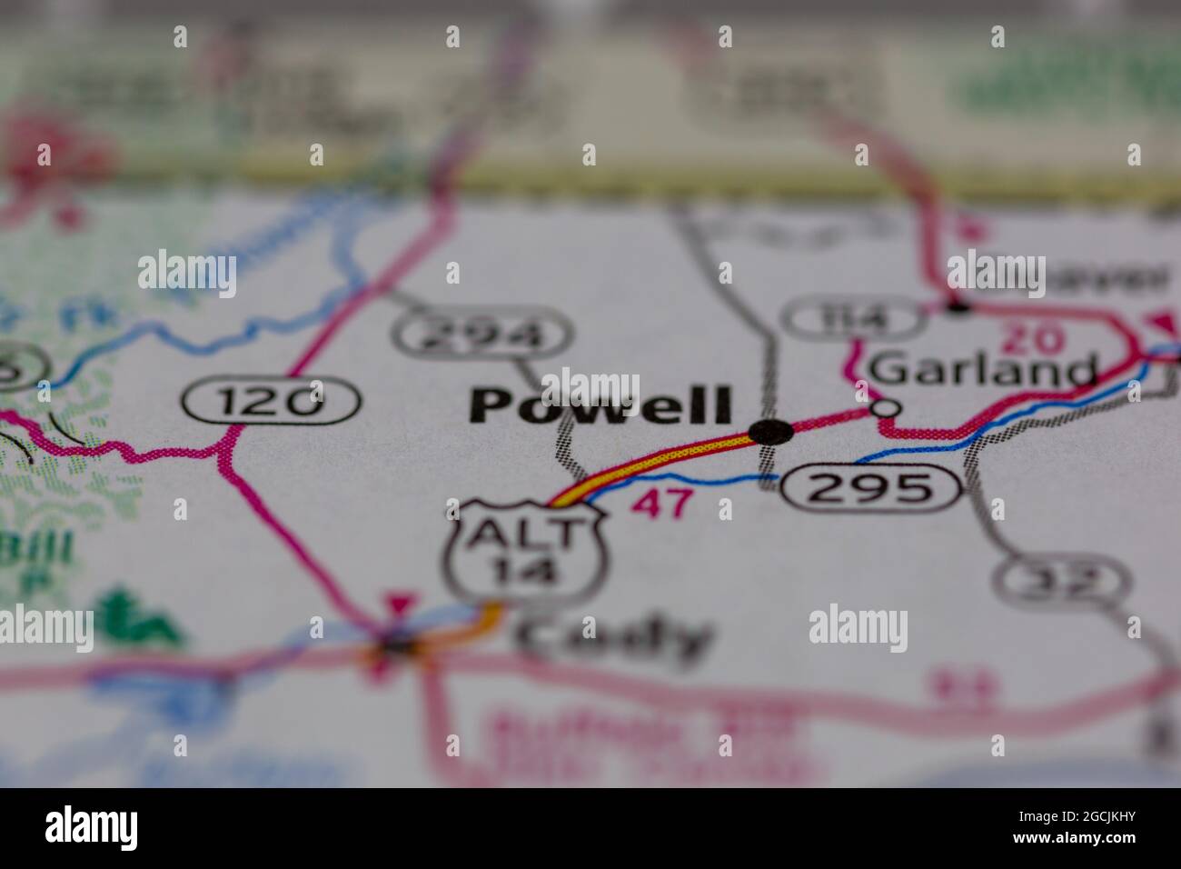 Powell Wyoming USA shown on a road map or Geography map Stock Photohttps://www.alamy.com/image-license-details/?v=1https://www.alamy.com/powell-wyoming-usa-shown-on-a-road-map-or-geography-map-image438045607.html
RM2GCJKHY–Powell Wyoming USA shown on a road map or Geography map
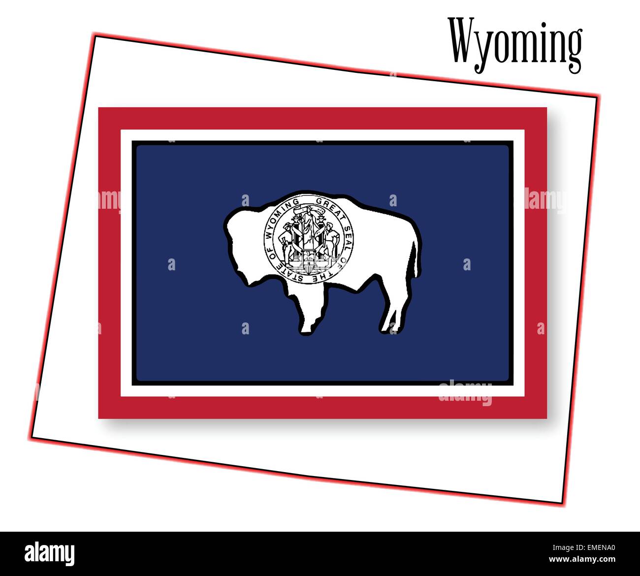 Wyoming State Map and Flag Stock Vectorhttps://www.alamy.com/image-license-details/?v=1https://www.alamy.com/stock-photo-wyoming-state-map-and-flag-81458664.html
RFEMENA0–Wyoming State Map and Flag
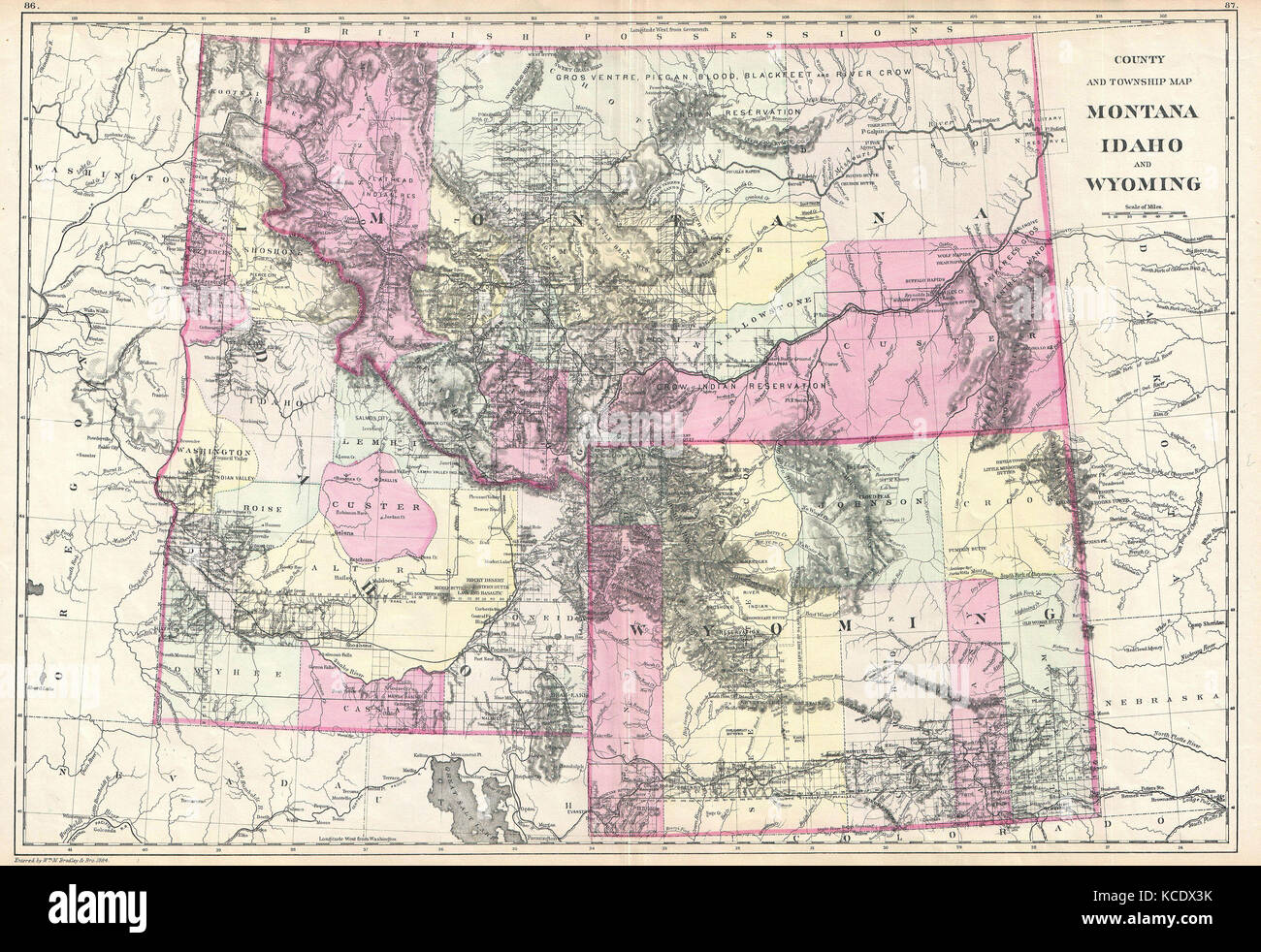 1884, Bradley Map of Montana, Wyoming and Idaho Stock Photohttps://www.alamy.com/image-license-details/?v=1https://www.alamy.com/stock-image-1884-bradley-map-of-montana-wyoming-and-idaho-162575047.html
RMKCDX3K–1884, Bradley Map of Montana, Wyoming and Idaho
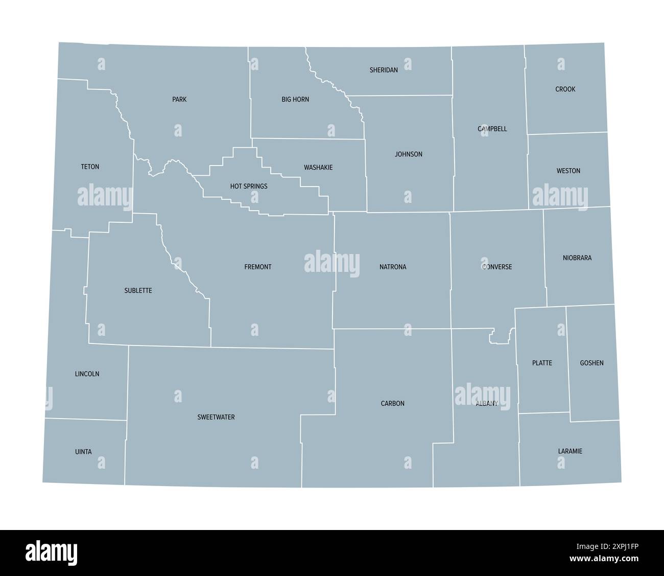 Wyoming, U.S. state, subdivided into 23 counties, gray political map with county names. State in the Mountain West region of the United States. Stock Photohttps://www.alamy.com/image-license-details/?v=1https://www.alamy.com/wyoming-us-state-subdivided-into-23-counties-gray-political-map-with-county-names-state-in-the-mountain-west-region-of-the-united-states-image616281674.html
RF2XPJ1FP–Wyoming, U.S. state, subdivided into 23 counties, gray political map with county names. State in the Mountain West region of the United States.
 Wyoming County, Pennsylvania outline map set Stock Vectorhttps://www.alamy.com/image-license-details/?v=1https://www.alamy.com/stock-photo-wyoming-county-pennsylvania-outline-map-set-104093425.html
RFG19T69–Wyoming County, Pennsylvania outline map set
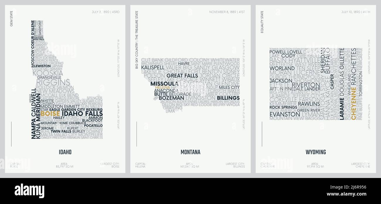 Typography composition of city names, silhouettes maps of the states of America, vector detailed posters, Division Mountain - Idaho, Montana, Wyoming Stock Vectorhttps://www.alamy.com/image-license-details/?v=1https://www.alamy.com/typography-composition-of-city-names-silhouettes-maps-of-the-states-of-america-vector-detailed-posters-division-mountain-idaho-montana-wyoming-image468879970.html
RF2J6R956–Typography composition of city names, silhouettes maps of the states of America, vector detailed posters, Division Mountain - Idaho, Montana, Wyoming
 Map of The United States of America (USA) State of Wyoming - Illustration on White Background. Stock Vectorhttps://www.alamy.com/image-license-details/?v=1https://www.alamy.com/map-of-the-united-states-of-america-usa-state-of-wyoming-illustration-on-white-background-image249422991.html
RFTDP5FY–Map of The United States of America (USA) State of Wyoming - Illustration on White Background.
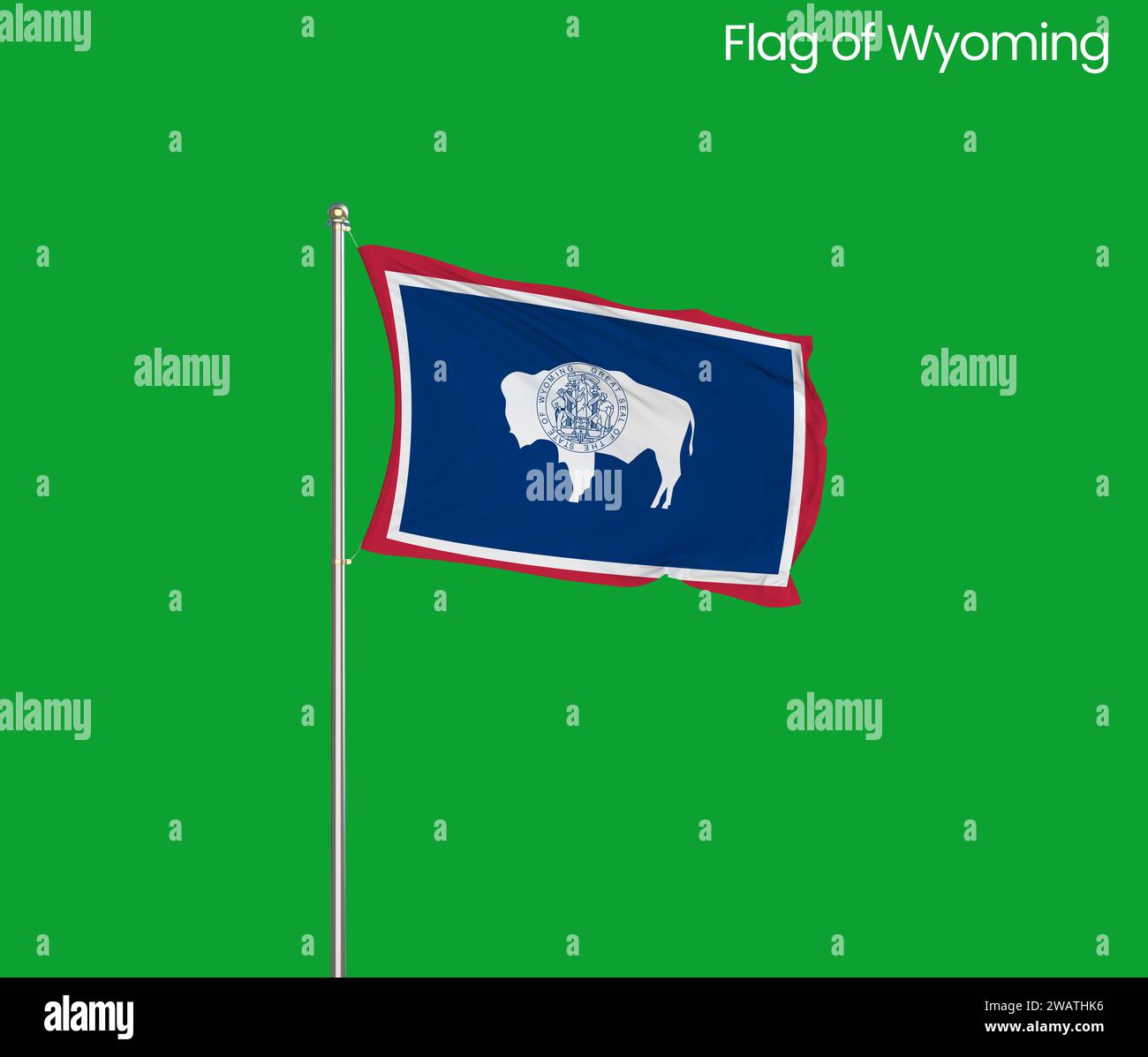 High detailed flag of Wyoming. Wyoming state flag, National Wyoming flag. Flag of state Wyoming. USA. America. Stock Photohttps://www.alamy.com/image-license-details/?v=1https://www.alamy.com/high-detailed-flag-of-wyoming-wyoming-state-flag-national-wyoming-flag-flag-of-state-wyoming-usa-america-image591839786.html
RF2WATHK6–High detailed flag of Wyoming. Wyoming state flag, National Wyoming flag. Flag of state Wyoming. USA. America.
 Wyoming map with stamp vintage vector background Stock Vectorhttps://www.alamy.com/image-license-details/?v=1https://www.alamy.com/wyoming-map-with-stamp-vintage-vector-background-image502533047.html
RF2M5GA0R–Wyoming map with stamp vintage vector background
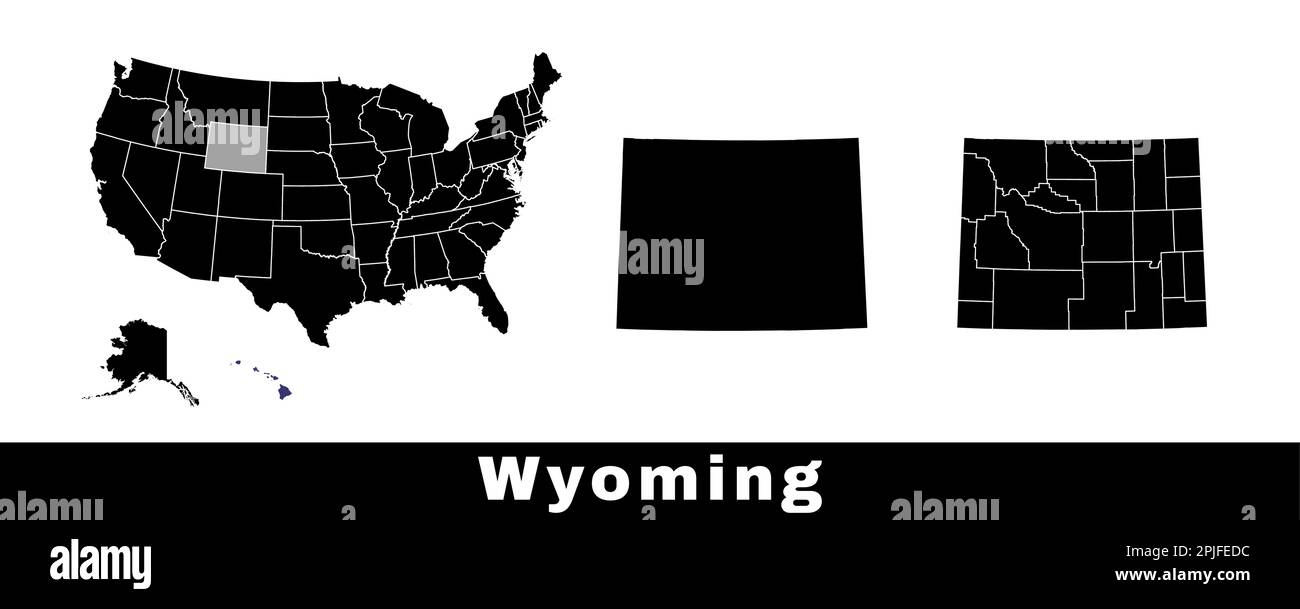 Wyoming state map, USA. Set of Wyoming maps with outline border, counties and US states map. Black and white color vector illustration. Stock Vectorhttps://www.alamy.com/image-license-details/?v=1https://www.alamy.com/wyoming-state-map-usa-set-of-wyoming-maps-with-outline-border-counties-and-us-states-map-black-and-white-color-vector-illustration-image544925848.html
RF2PJFEDC–Wyoming state map, USA. Set of Wyoming maps with outline border, counties and US states map. Black and white color vector illustration.
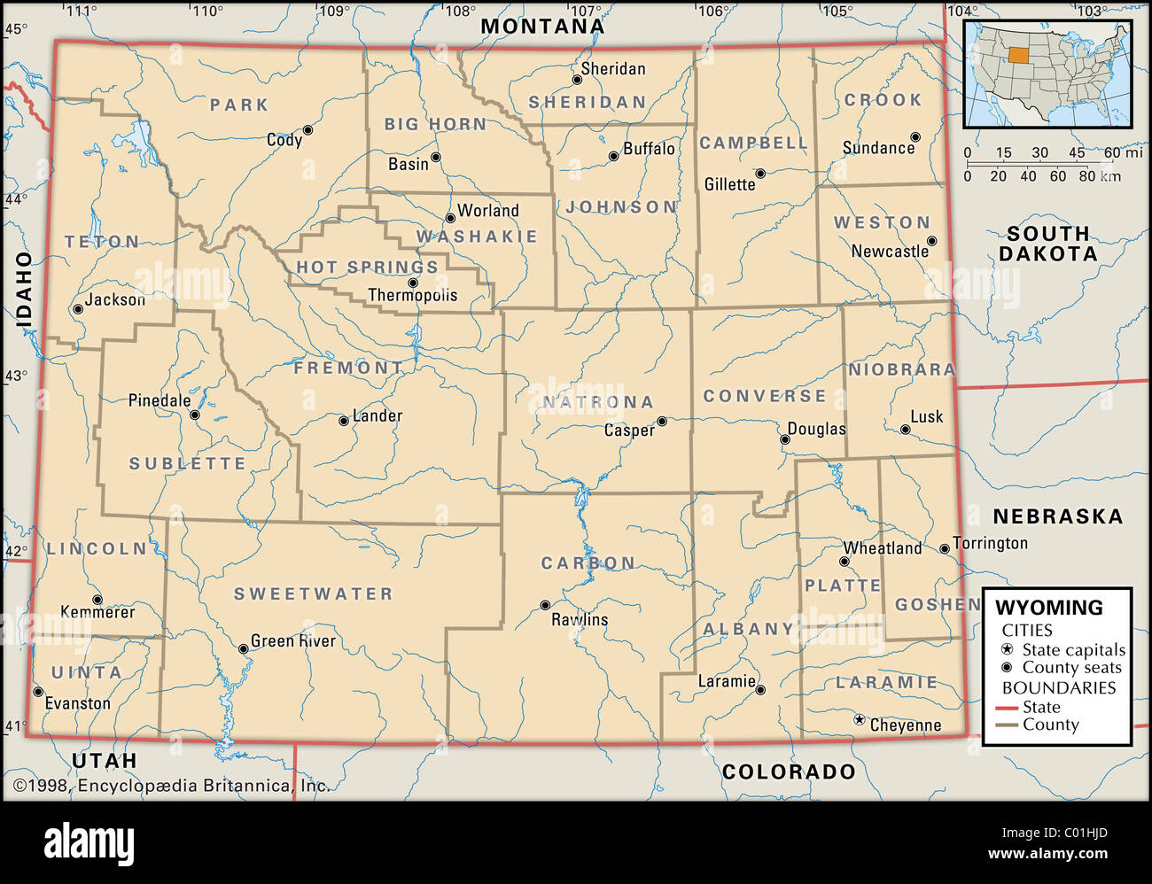 Political map of Wyoming Stock Photohttps://www.alamy.com/image-license-details/?v=1https://www.alamy.com/stock-photo-political-map-of-wyoming-34456533.html
RMC01HJD–Political map of Wyoming
RF2K231HB–Vector isolated geometric illustration with icy blue area of USA - State of Wyoming map. Pixel art style for NFT template. Simple colorful logo with g
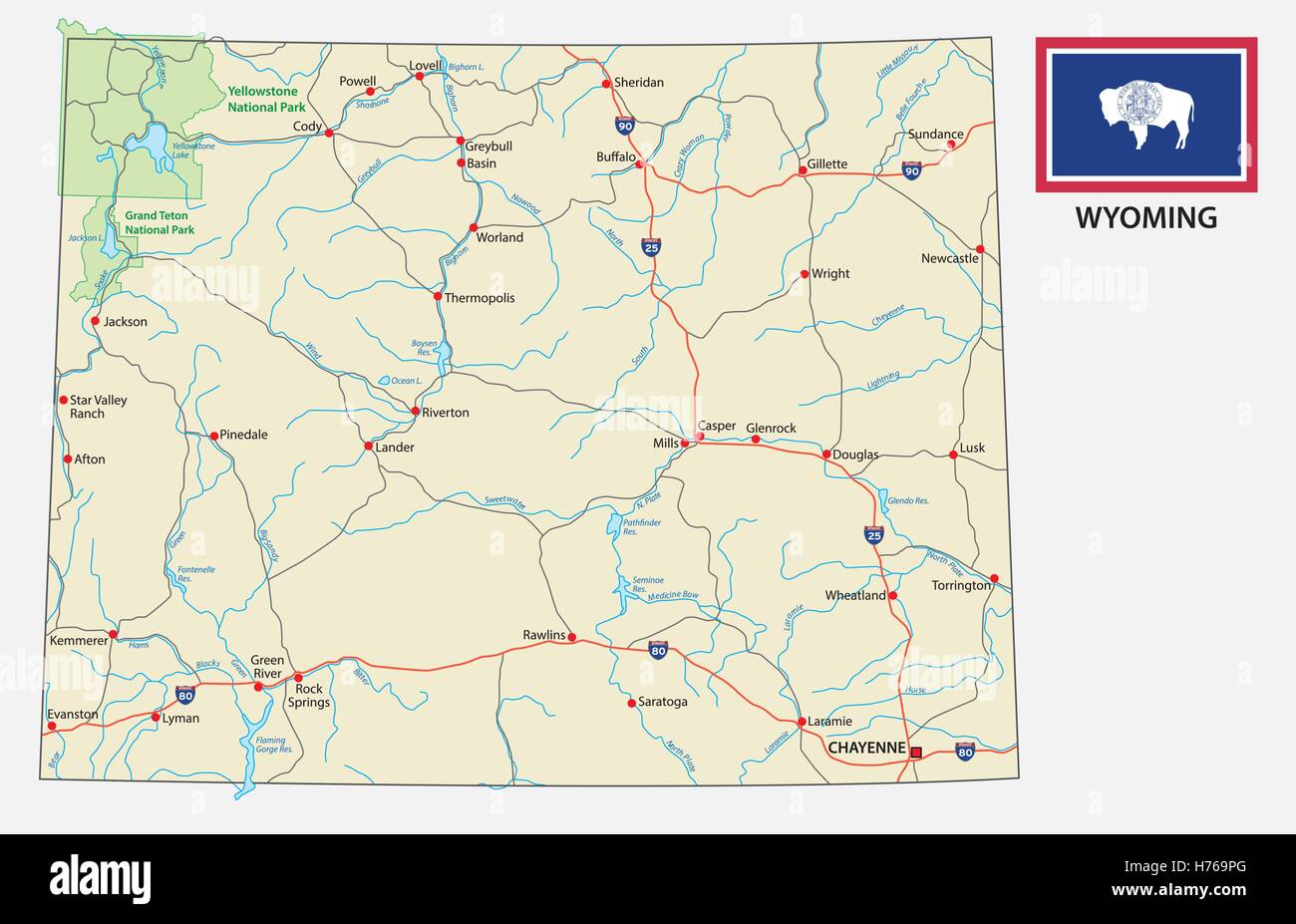 Wyoming road map with flag Stock Vectorhttps://www.alamy.com/image-license-details/?v=1https://www.alamy.com/stock-photo-wyoming-road-map-with-flag-124914568.html
RFH769PG–Wyoming road map with flag
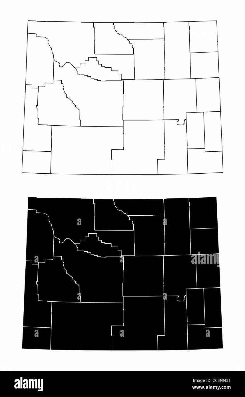 Wyoming county maps Stock Vectorhttps://www.alamy.com/image-license-details/?v=1https://www.alamy.com/wyoming-county-maps-image363739237.html
RF2C3NN31–Wyoming county maps
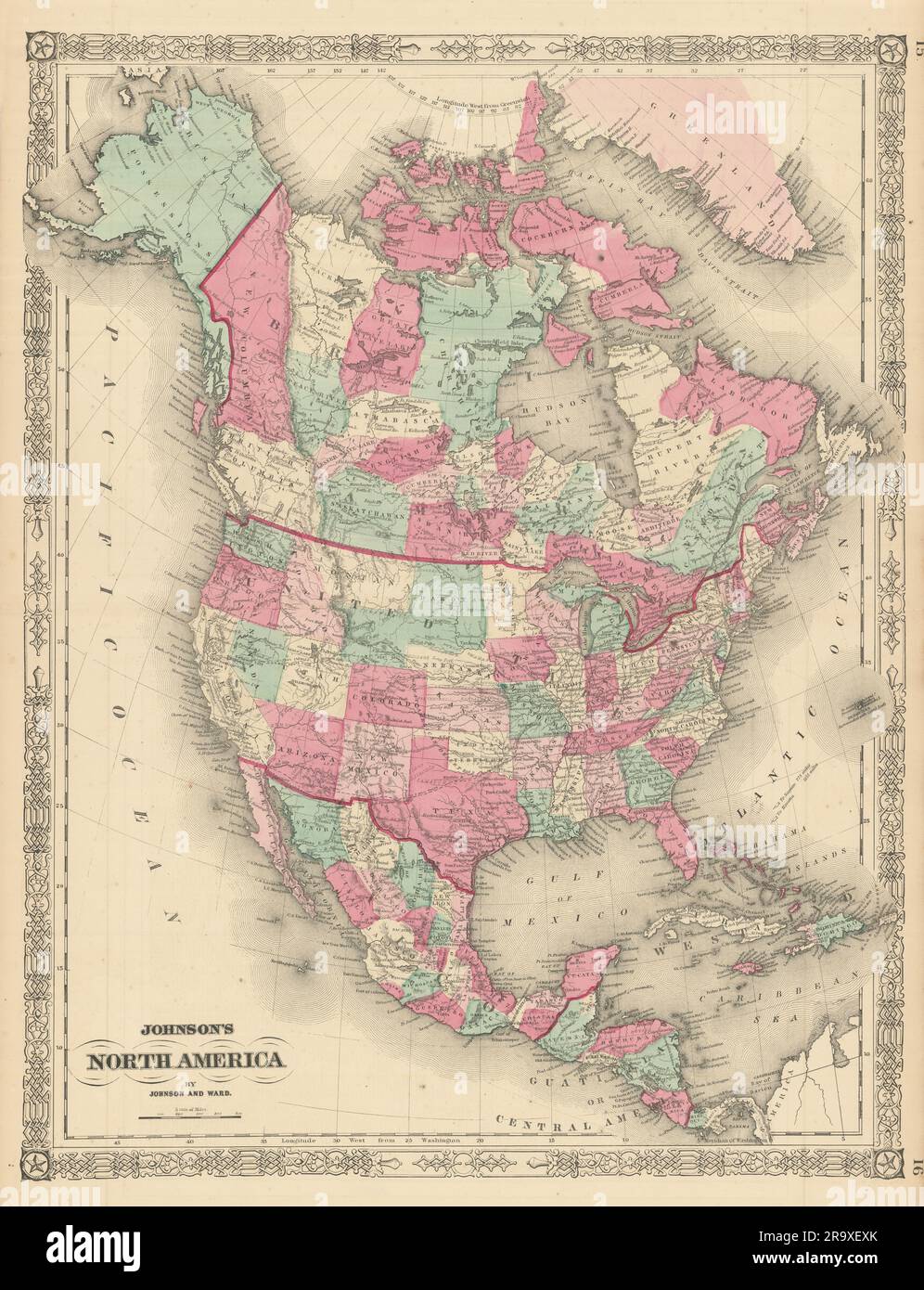 Johnson's North America. Russian Alaska Wyoming within Dakota Territory 1866 map Stock Photohttps://www.alamy.com/image-license-details/?v=1https://www.alamy.com/johnsons-north-america-russian-alaska-wyoming-within-dakota-territory-1866-map-image556846155.html
RF2R9XEXK–Johnson's North America. Russian Alaska Wyoming within Dakota Territory 1866 map
 Wyoming Map Outline White on Green Screen Stock Photohttps://www.alamy.com/image-license-details/?v=1https://www.alamy.com/wyoming-map-outline-white-on-green-screen-image240480688.html
RFRY6RG0–Wyoming Map Outline White on Green Screen
 Wyoming map shape of states cartoon style with forest tree and river landscape graphic illustration Stock Vectorhttps://www.alamy.com/image-license-details/?v=1https://www.alamy.com/wyoming-map-shape-of-states-cartoon-style-with-forest-tree-and-river-landscape-graphic-illustration-image571212934.html
RF2T58YWX–Wyoming map shape of states cartoon style with forest tree and river landscape graphic illustration
 Orange Wyoming map - vector illustration. Simple flat map of Wyoming on a brown background. Stock Vectorhttps://www.alamy.com/image-license-details/?v=1https://www.alamy.com/orange-wyoming-map-vector-illustration-simple-flat-map-of-wyoming-on-a-brown-background-image331534245.html
RF2A7AK8N–Orange Wyoming map - vector illustration. Simple flat map of Wyoming on a brown background.
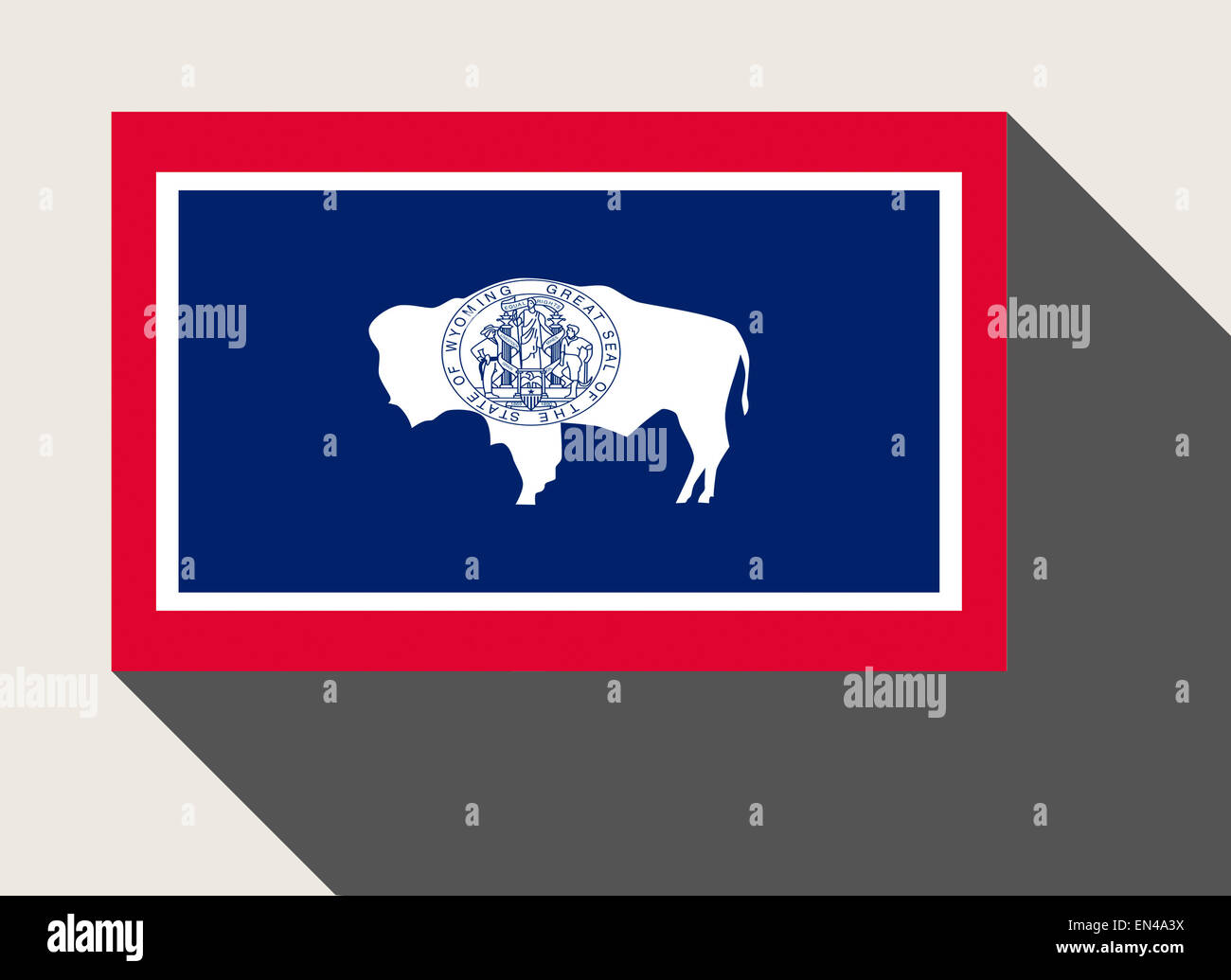 American State of Wyoming flag in flat web design style. Stock Photohttps://www.alamy.com/image-license-details/?v=1https://www.alamy.com/stock-photo-american-state-of-wyoming-flag-in-flat-web-design-style-81845006.html
RMEN4A3X–American State of Wyoming flag in flat web design style.
 Burlington Wyoming USA shown on a road map or Geography map Stock Photohttps://www.alamy.com/image-license-details/?v=1https://www.alamy.com/burlington-wyoming-usa-shown-on-a-road-map-or-geography-map-image438045562.html
RM2GCJKGA–Burlington Wyoming USA shown on a road map or Geography map
 Wyoming Map On Timber Stock Vectorhttps://www.alamy.com/image-license-details/?v=1https://www.alamy.com/stock-photo-wyoming-map-on-timber-115816965.html
RFGMBWM5–Wyoming Map On Timber
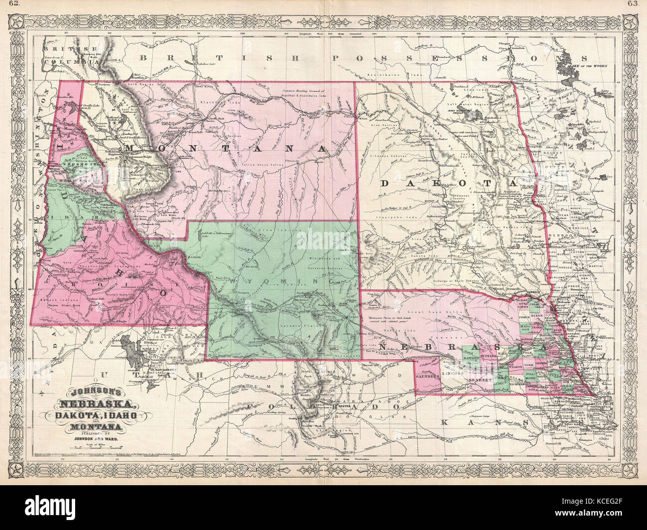 1866, Johnson Map of Montana, Wyoming, Idaho, Nebraska and Dakota Stock Photohttps://www.alamy.com/image-license-details/?v=1https://www.alamy.com/stock-image-1866-johnson-map-of-montana-wyoming-idaho-nebraska-and-dakota-162589127.html
RMKCEG2F–1866, Johnson Map of Montana, Wyoming, Idaho, Nebraska and Dakota
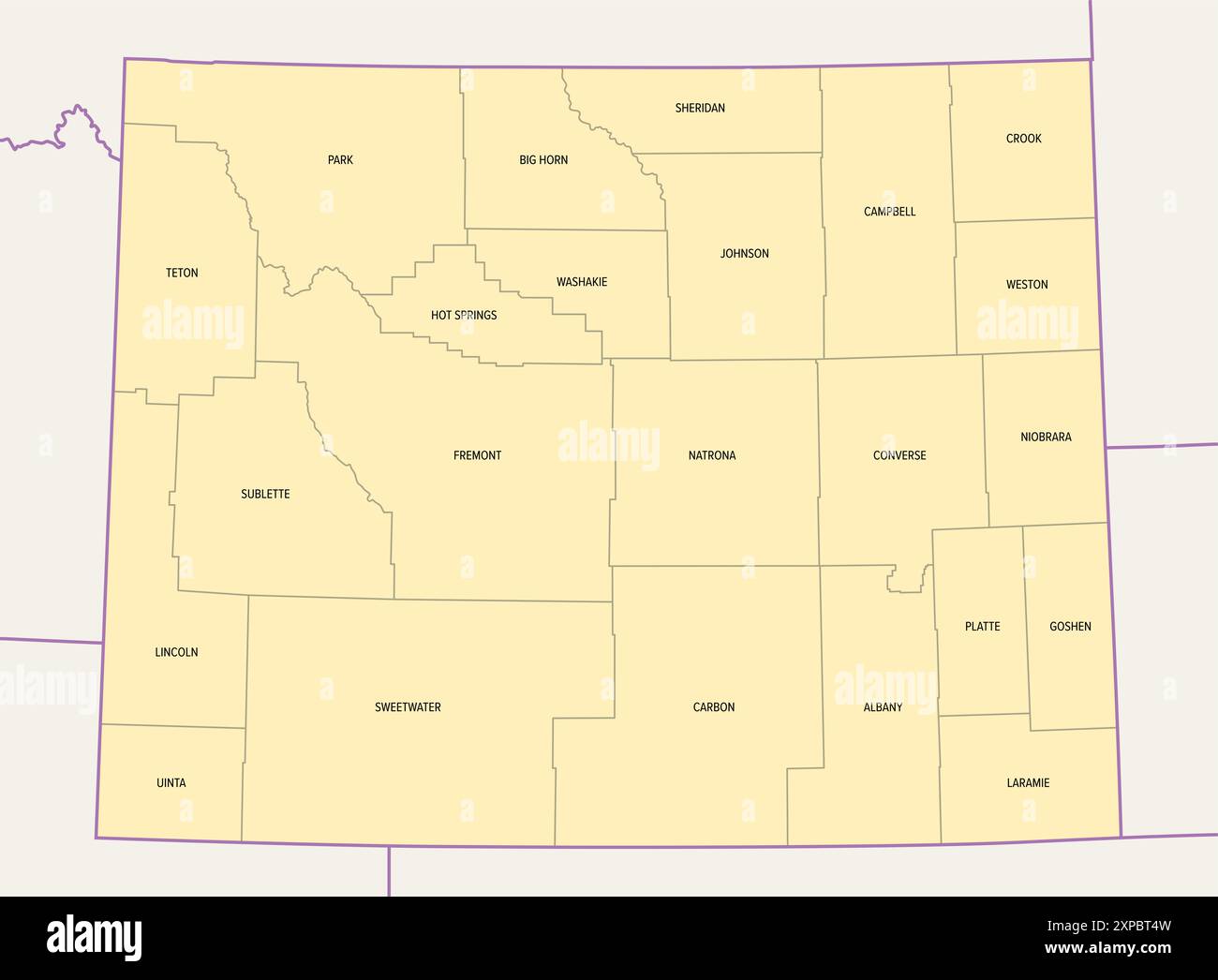 Wyoming, U.S. state, subdivided into 23 counties, political map with borders and county names. State in the Mountain West region of United States. Stock Photohttps://www.alamy.com/image-license-details/?v=1https://www.alamy.com/wyoming-us-state-subdivided-into-23-counties-political-map-with-borders-and-county-names-state-in-the-mountain-west-region-of-united-states-image616145737.html
RF2XPBT4W–Wyoming, U.S. state, subdivided into 23 counties, political map with borders and county names. State in the Mountain West region of United States.
 Map of the state of Wyoming - USA Stock Photohttps://www.alamy.com/image-license-details/?v=1https://www.alamy.com/stock-photo-map-of-the-state-of-wyoming-usa-53606342.html
RFD35YC6–Map of the state of Wyoming - USA
 44 of 50 states of the United States with a name, nickname, and date admitted to the Union, Detailed Vector Wyoming Map for printing posters, postcard Stock Vectorhttps://www.alamy.com/image-license-details/?v=1https://www.alamy.com/44-of-50-states-of-the-united-states-with-a-name-nickname-and-date-admitted-to-the-union-detailed-vector-wyoming-map-for-printing-posters-postcard-image468578860.html
RF2J69H38–44 of 50 states of the United States with a name, nickname, and date admitted to the Union, Detailed Vector Wyoming Map for printing posters, postcard
 US Wyoming state flag over map Stock Photohttps://www.alamy.com/image-license-details/?v=1https://www.alamy.com/stock-photo-us-wyoming-state-flag-over-map-78442715.html
RFEFHADF–US Wyoming state flag over map
 High detailed flag of Wyoming. Wyoming state flag, National Wyoming flag. Flag of state Wyoming. USA. America. Stock Photohttps://www.alamy.com/image-license-details/?v=1https://www.alamy.com/high-detailed-flag-of-wyoming-wyoming-state-flag-national-wyoming-flag-flag-of-state-wyoming-usa-america-image591839765.html
RF2WATHJD–High detailed flag of Wyoming. Wyoming state flag, National Wyoming flag. Flag of state Wyoming. USA. America.
 Wyoming flag and map. Flags of the U.S. states and territories. America states flag and map on white background. Stock Photohttps://www.alamy.com/image-license-details/?v=1https://www.alamy.com/wyoming-flag-and-map-flags-of-the-us-states-and-territories-america-states-flag-and-map-on-white-background-image607038647.html
RF2X7GYYK–Wyoming flag and map. Flags of the U.S. states and territories. America states flag and map on white background.
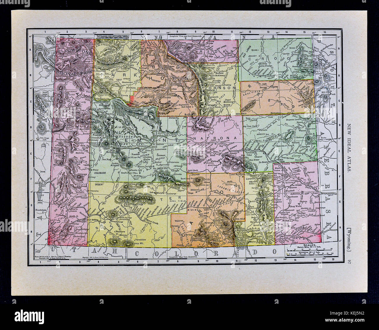 1911 McNally Map - Wyoming - Yellowstone National Park Cheyenne Douglas Stock Photohttps://www.alamy.com/image-license-details/?v=1https://www.alamy.com/stock-image-1911-mcnally-map-wyoming-yellowstone-national-park-cheyenne-douglas-163898142.html
RFKEJ5N2–1911 McNally Map - Wyoming - Yellowstone National Park Cheyenne Douglas
