Quick filters:
Y felinheli Stock Photos and Images
 Looking west down the Menai Strait at the boatyrds in Y Felinheli. Stock Photohttps://www.alamy.com/image-license-details/?v=1https://www.alamy.com/looking-west-down-the-menai-strait-at-the-boatyrds-in-y-felinheli-image419196423.html
RM2FA018R–Looking west down the Menai Strait at the boatyrds in Y Felinheli.
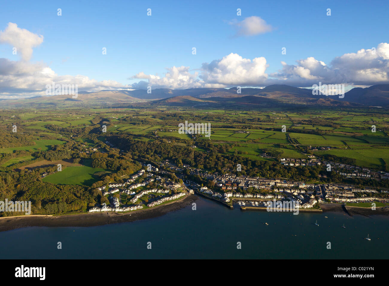 Aerial photograph of Y Felinheli in the Menai Strait, Port Dinorwig, Gwynedd, North Wales, Cymru, UK, United Kingdom, GB, Great Stock Photohttps://www.alamy.com/image-license-details/?v=1https://www.alamy.com/stock-photo-aerial-photograph-of-y-felinheli-in-the-menai-strait-port-dinorwig-34466201.html
RMC021YN–Aerial photograph of Y Felinheli in the Menai Strait, Port Dinorwig, Gwynedd, North Wales, Cymru, UK, United Kingdom, GB, Great
 Two people taking an evening stroll along the waterfront seawall by the Menai Strait at Y Felinheli, Gwynedd, North Wales, UK Stock Photohttps://www.alamy.com/image-license-details/?v=1https://www.alamy.com/stock-photo-two-people-taking-an-evening-stroll-along-the-waterfront-seawall-by-52796412.html
RMD1W2A4–Two people taking an evening stroll along the waterfront seawall by the Menai Strait at Y Felinheli, Gwynedd, North Wales, UK
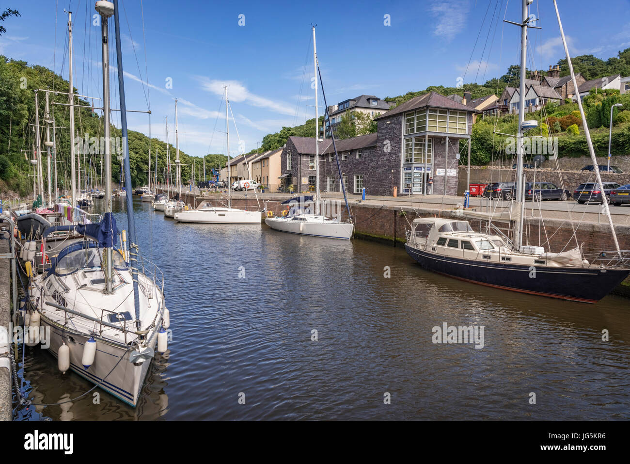 Port Dinorwic harbour. Stock Photohttps://www.alamy.com/image-license-details/?v=1https://www.alamy.com/stock-photo-port-dinorwic-harbour-147642746.html
RMJG5KR6–Port Dinorwic harbour.
 Y Felinheli Gwynedd North Wales UK The marina Port Dinorwic with gate that opens onto the Menai Strait Stock Photohttps://www.alamy.com/image-license-details/?v=1https://www.alamy.com/stock-photo-y-felinheli-gwynedd-north-wales-uk-the-marina-port-dinorwic-with-gate-30837823.html
RMBP4NXR–Y Felinheli Gwynedd North Wales UK The marina Port Dinorwic with gate that opens onto the Menai Strait
 Cei Llechi marina, Y Felinheli Stock Photohttps://www.alamy.com/image-license-details/?v=1https://www.alamy.com/stock-photo-cei-llechi-marina-y-felinheli-37426456.html
RMC4TWR4–Cei Llechi marina, Y Felinheli
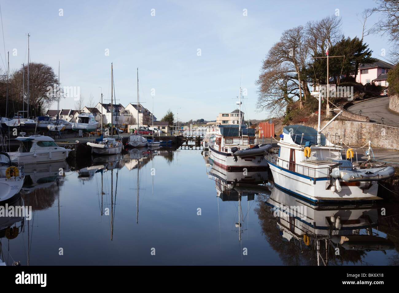 Y Felinheli (Port Dinorwic), Gwynedd, North Wales, UK. Boats moored in the marina off the Menai Strait Stock Photohttps://www.alamy.com/image-license-details/?v=1https://www.alamy.com/stock-photo-y-felinheli-port-dinorwic-gwynedd-north-wales-uk-boats-moored-in-the-29040964.html
RMBK6X18–Y Felinheli (Port Dinorwic), Gwynedd, North Wales, UK. Boats moored in the marina off the Menai Strait
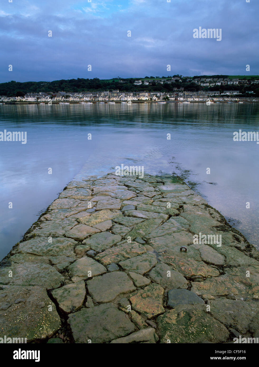 Looking across the Menai Strait to Port Dinorwig (Y Felinheli) on the mainland, from the old ferry slipway once used by slate wo Stock Photohttps://www.alamy.com/image-license-details/?v=1https://www.alamy.com/stock-photo-looking-across-the-menai-strait-to-port-dinorwig-y-felinheli-on-the-43762130.html
RMCF5F16–Looking across the Menai Strait to Port Dinorwig (Y Felinheli) on the mainland, from the old ferry slipway once used by slate wo
 Y Felinheli (Port Dinorwic), Gwynedd, North Wales, UK. Yacht sailing under raised drawbridge in the marina. Stock Photohttps://www.alamy.com/image-license-details/?v=1https://www.alamy.com/stock-photo-y-felinheli-port-dinorwic-gwynedd-north-wales-uk-yacht-sailing-under-35460122.html
RMC1K9MX–Y Felinheli (Port Dinorwic), Gwynedd, North Wales, UK. Yacht sailing under raised drawbridge in the marina.
 Looking across the Menai Strait to Port Dinorwic (Y Felinheli) on the mainland from Moel y Don ferry & cargo slipway, Anglesey. Stock Photohttps://www.alamy.com/image-license-details/?v=1https://www.alamy.com/stock-photo-looking-across-the-menai-strait-to-port-dinorwic-y-felinheli-on-the-84353803.html
RMEW6J3R–Looking across the Menai Strait to Port Dinorwic (Y Felinheli) on the mainland from Moel y Don ferry & cargo slipway, Anglesey.
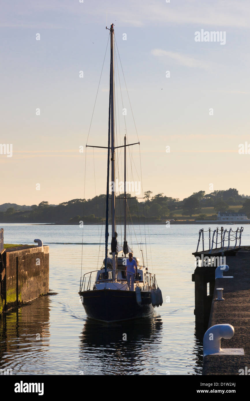 Yacht sailing into Y Felinheli marina through lock gates from Menai Strait at high tide in late evening Gwynedd North Wales UK Stock Photohttps://www.alamy.com/image-license-details/?v=1https://www.alamy.com/stock-photo-yacht-sailing-into-y-felinheli-marina-through-lock-gates-from-menai-52796426.html
RMD1W2AJ–Yacht sailing into Y Felinheli marina through lock gates from Menai Strait at high tide in late evening Gwynedd North Wales UK
 Port Dinorwig Menai Straights boat marina North Wales UK Stock Photohttps://www.alamy.com/image-license-details/?v=1https://www.alamy.com/stock-photo-port-dinorwig-menai-straights-boat-marina-north-wales-uk-29282640.html
RMBKHX8G–Port Dinorwig Menai Straights boat marina North Wales UK
 Y Felinheli (Port Dinorwic), Gwynedd, North Wales, UK. Boats moored in the marina off the Menai Strait Stock Photohttps://www.alamy.com/image-license-details/?v=1https://www.alamy.com/stock-photo-y-felinheli-port-dinorwic-gwynedd-north-wales-uk-boats-moored-in-the-29049320.html
RMBK78KM–Y Felinheli (Port Dinorwic), Gwynedd, North Wales, UK. Boats moored in the marina off the Menai Strait
 Port Dinorwic River Heulyn Marina Port Dinorwig Y Felinheli Gwynned North Wales UK United Kingdom Europe Stock Photohttps://www.alamy.com/image-license-details/?v=1https://www.alamy.com/stock-photo-port-dinorwic-river-heulyn-marina-port-dinorwig-y-felinheli-gwynned-31968750.html
RMBT08D2–Port Dinorwic River Heulyn Marina Port Dinorwig Y Felinheli Gwynned North Wales UK United Kingdom Europe
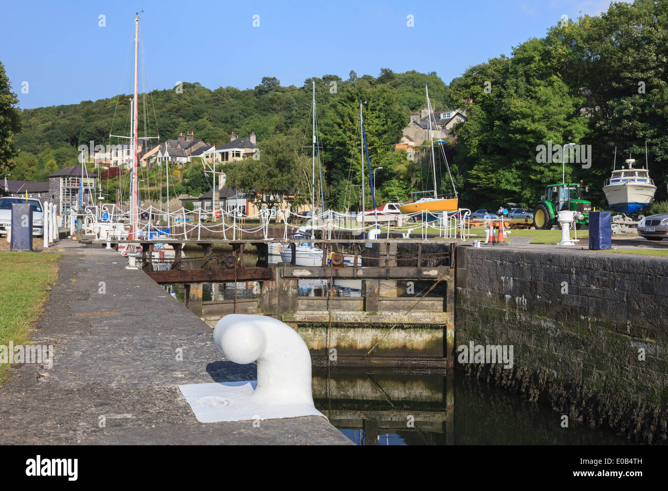 Mooring bollard on quay and lock gates at entrance to yacht marina with boats moored. Y Felinheli Gwynedd North Wales UK Britain Stock Photohttps://www.alamy.com/image-license-details/?v=1https://www.alamy.com/mooring-bollard-on-quay-and-lock-gates-at-entrance-to-yacht-marina-image69086769.html
RME0B4TH–Mooring bollard on quay and lock gates at entrance to yacht marina with boats moored. Y Felinheli Gwynedd North Wales UK Britain
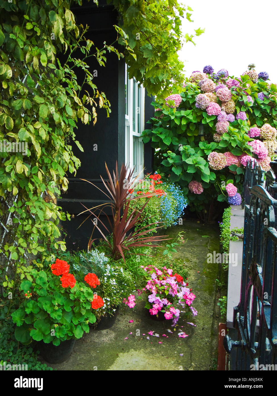 A tiny but colourful front garden of a cottage in North Wales close to the Menai Straits growing pelargoniums impatiens hydrang Stock Photohttps://www.alamy.com/image-license-details/?v=1https://www.alamy.com/stock-photo-a-tiny-but-colourful-front-garden-of-a-cottage-in-north-wales-close-15537654.html
RMANJ5KK–A tiny but colourful front garden of a cottage in North Wales close to the Menai Straits growing pelargoniums impatiens hydrang
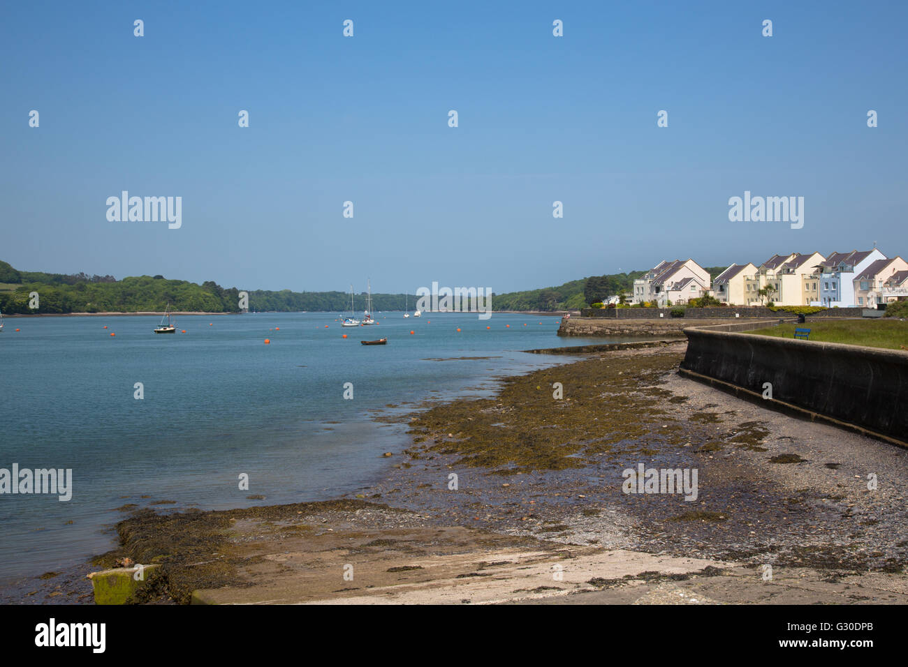 Modern pastel housing estate on the banks of the Menai Strait at y Felinheli, Port Dinorwic, marina. Anglesey tcoastline to left Stock Photohttps://www.alamy.com/image-license-details/?v=1https://www.alamy.com/stock-photo-modern-pastel-housing-estate-on-the-banks-of-the-menai-strait-at-y-105116995.html
RMG30DPB–Modern pastel housing estate on the banks of the Menai Strait at y Felinheli, Port Dinorwic, marina. Anglesey tcoastline to left
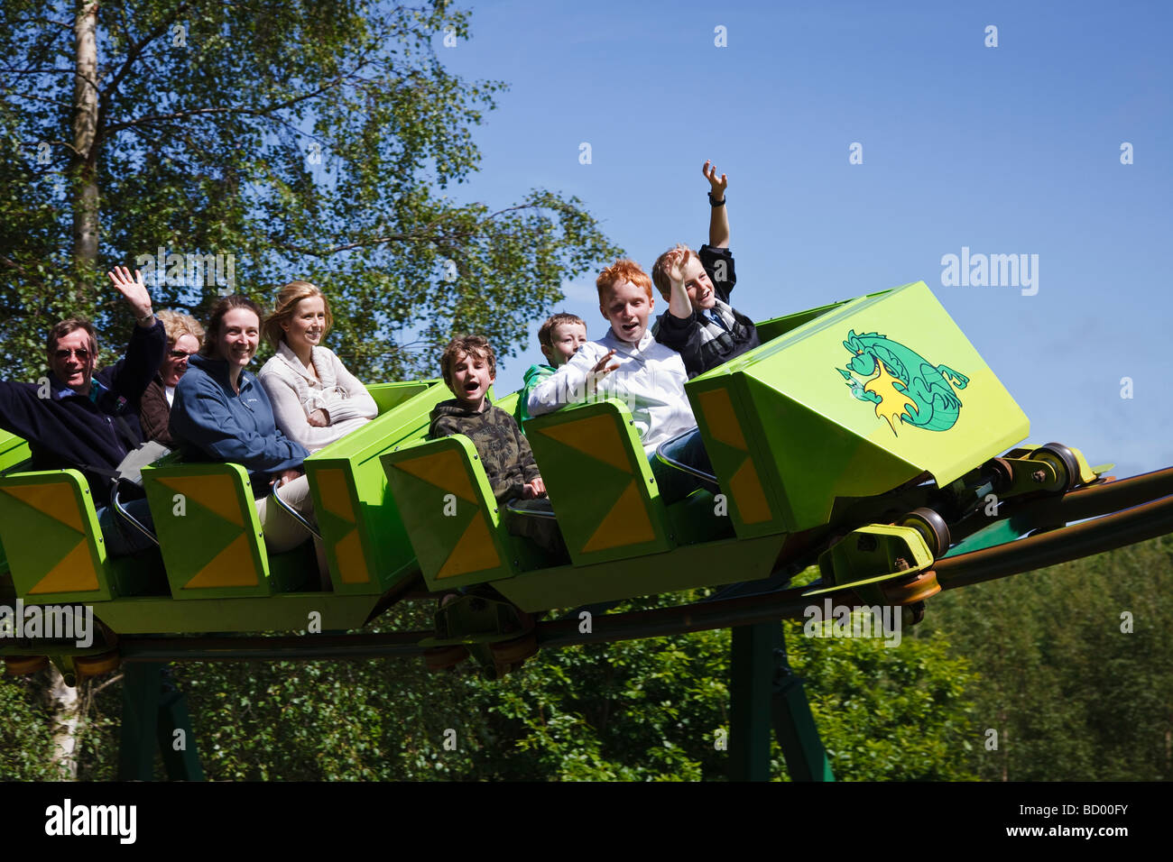 The Green Dragon rollercoaster at Greenwood Forest Park, Y Felinheli, Snowdonia, North Wales. Stock Photohttps://www.alamy.com/image-license-details/?v=1https://www.alamy.com/stock-photo-the-green-dragon-rollercoaster-at-greenwood-forest-park-y-felinheli-25201343.html
RMBD00FY–The Green Dragon rollercoaster at Greenwood Forest Park, Y Felinheli, Snowdonia, North Wales.
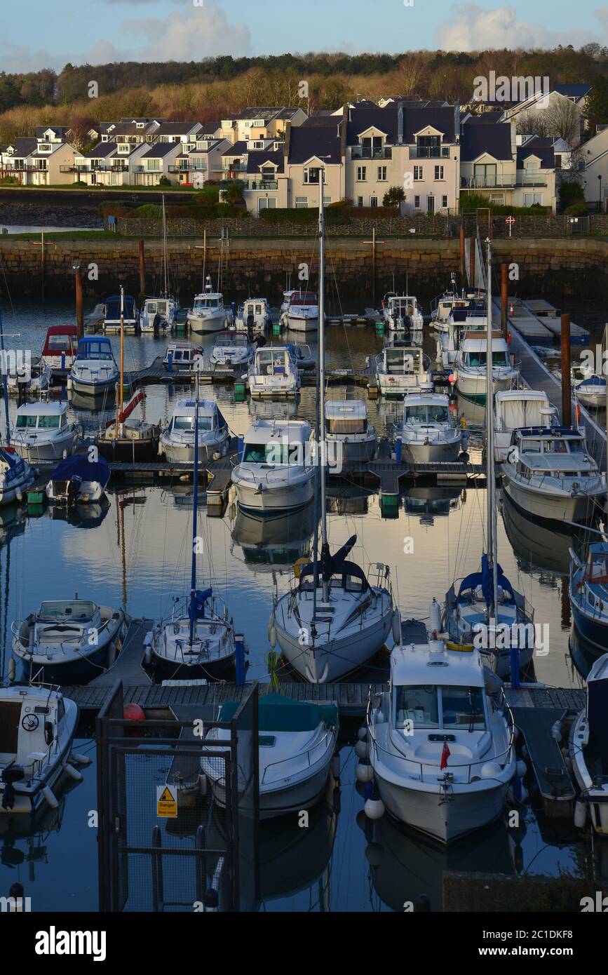 Late evening sky over boats in Welsh harbour Stock Photohttps://www.alamy.com/image-license-details/?v=1https://www.alamy.com/late-evening-sky-over-boats-in-welsh-harbour-image362333084.html
RF2C1DKF8–Late evening sky over boats in Welsh harbour
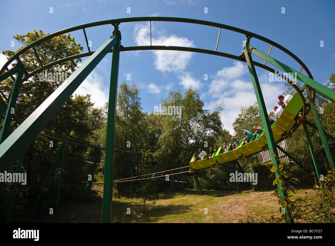 The Green Dragon rollercoaster at Greenwood Forest Park, Y Felinheli, Snowdonia, North Wales. Stock Photohttps://www.alamy.com/image-license-details/?v=1https://www.alamy.com/stock-photo-the-green-dragon-rollercoaster-at-greenwood-forest-park-y-felinheli-25200175.html
RMBCYY27–The Green Dragon rollercoaster at Greenwood Forest Park, Y Felinheli, Snowdonia, North Wales.
 View from uphill onto Port Dinorwic, Y Felinheli, Gwynedd, North Wales, UK Stock Photohttps://www.alamy.com/image-license-details/?v=1https://www.alamy.com/view-from-uphill-onto-port-dinorwic-y-felinheli-gwynedd-north-wales-uk-image311309681.html
RFS2DAJW–View from uphill onto Port Dinorwic, Y Felinheli, Gwynedd, North Wales, UK
 Halfawy House Y Felinheli Stock Photohttps://www.alamy.com/image-license-details/?v=1https://www.alamy.com/halfawy-house-y-felinheli-image352645545.html
RM2BDMAYN–Halfawy House Y Felinheli
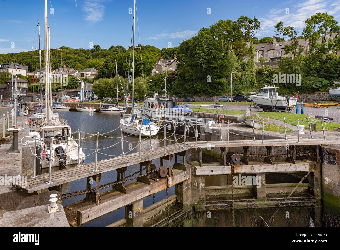 Port Dinorwic harbour. Stock Photohttps://www.alamy.com/image-license-details/?v=1https://www.alamy.com/stock-photo-port-dinorwic-harbour-147642723.html
RFJG5KPB–Port Dinorwic harbour.
 Y Felinheli Gwynedd North Wales UK Pleasurecraft moored in the marina Port Dinorwic Stock Photohttps://www.alamy.com/image-license-details/?v=1https://www.alamy.com/stock-photo-y-felinheli-gwynedd-north-wales-uk-pleasurecraft-moored-in-the-marina-30837840.html
RMBP4NYC–Y Felinheli Gwynedd North Wales UK Pleasurecraft moored in the marina Port Dinorwic
 The quay in Y Felinheli NLW3361479 Stock Photohttps://www.alamy.com/image-license-details/?v=1https://www.alamy.com/stock-photo-the-quay-in-y-felinheli-nlw3361479-143414186.html
RMJ99276–The quay in Y Felinheli NLW3361479
 Y Felinheli Gwynedd North Wales December Yachts moored in Port Dinorwic on a lovely winters day Stock Photohttps://www.alamy.com/image-license-details/?v=1https://www.alamy.com/stock-photo-y-felinheli-gwynedd-north-wales-december-yachts-moored-in-port-dinorwic-21408648.html
RMB6R6XG–Y Felinheli Gwynedd North Wales December Yachts moored in Port Dinorwic on a lovely winters day
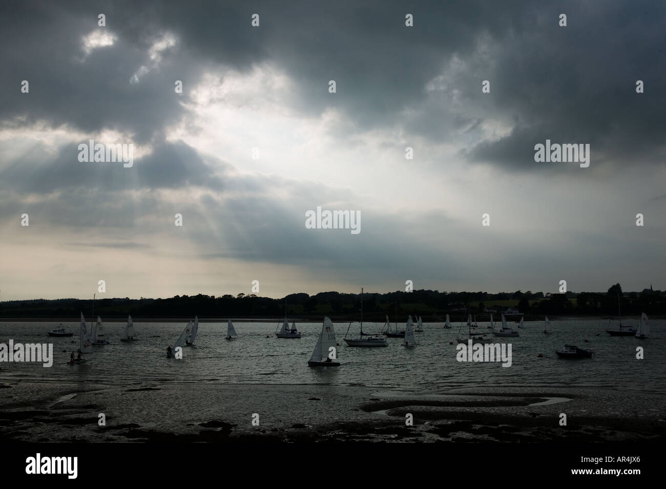 Evening Sky over Menai Strait Y Felinheli North West Wales Stock Photohttps://www.alamy.com/image-license-details/?v=1https://www.alamy.com/evening-sky-over-menai-strait-y-felinheli-north-west-wales-image9106981.html
RMAR4JX6–Evening Sky over Menai Strait Y Felinheli North West Wales
 Y Felinheli, Gwynedd, GB, United Kingdom, Wales, N 53 11' 14'', S 4 12' 17'', map, Cartascapes Map published in 2024. Explore Cartascapes, a map revealing Earth's diverse landscapes, cultures, and ecosystems. Journey through time and space, discovering the interconnectedness of our planet's past, present, and future. Stock Photohttps://www.alamy.com/image-license-details/?v=1https://www.alamy.com/y-felinheli-gwynedd-gb-united-kingdom-wales-n-53-11-14-s-4-12-17-map-cartascapes-map-published-in-2024-explore-cartascapes-a-map-revealing-earths-diverse-landscapes-cultures-and-ecosystems-journey-through-time-and-space-discovering-the-interconnectedness-of-our-planets-past-present-and-future-image604218516.html
RM2X30ETM–Y Felinheli, Gwynedd, GB, United Kingdom, Wales, N 53 11' 14'', S 4 12' 17'', map, Cartascapes Map published in 2024. Explore Cartascapes, a map revealing Earth's diverse landscapes, cultures, and ecosystems. Journey through time and space, discovering the interconnectedness of our planet's past, present, and future.
 Seven Sisters wreck, used into 1950s to transport slate, beside Moel y Don slipway, Anglesey, with Menai Strait & Y Felinheli (Port Dinorwic) beyond. Stock Photohttps://www.alamy.com/image-license-details/?v=1https://www.alamy.com/stock-photo-seven-sisters-wreck-used-into-1950s-to-transport-slate-beside-moel-84353793.html
RMEW6J3D–Seven Sisters wreck, used into 1950s to transport slate, beside Moel y Don slipway, Anglesey, with Menai Strait & Y Felinheli (Port Dinorwic) beyond.
 A graphic illlustration of a British road sign pointing to Y Felinheli Stock Photohttps://www.alamy.com/image-license-details/?v=1https://www.alamy.com/a-graphic-illlustration-of-a-british-road-sign-pointing-to-y-felinheli-image389667809.html
RF2DHXW7D–A graphic illlustration of a British road sign pointing to Y Felinheli
 Port Dinorwig Menai Straights boat marina North Wales UK Stock Photohttps://www.alamy.com/image-license-details/?v=1https://www.alamy.com/stock-photo-port-dinorwig-menai-straights-boat-marina-north-wales-uk-29275414.html
RMBKHH2E–Port Dinorwig Menai Straights boat marina North Wales UK
 Gwynedd, region of Wales - Great Britain. Colored elevation map with lakes and rivers. Locations of major cities of the region. Corner auxiliary locat Stock Photohttps://www.alamy.com/image-license-details/?v=1https://www.alamy.com/gwynedd-region-of-wales-great-britain-colored-elevation-map-with-lakes-and-rivers-locations-of-major-cities-of-the-region-corner-auxiliary-locat-image546192623.html
RF2PMH67B–Gwynedd, region of Wales - Great Britain. Colored elevation map with lakes and rivers. Locations of major cities of the region. Corner auxiliary locat
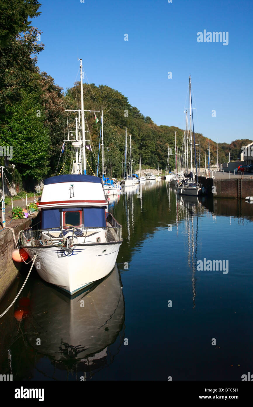 Port Dinorwic River Heulyn Marina Port Dinorwig Y Felinheli Gwynned North Wales UK United Kingdom Europe Stock Photohttps://www.alamy.com/image-license-details/?v=1https://www.alamy.com/stock-photo-port-dinorwic-river-heulyn-marina-port-dinorwig-y-felinheli-gwynned-31966537.html
RMBT05J1–Port Dinorwic River Heulyn Marina Port Dinorwig Y Felinheli Gwynned North Wales UK United Kingdom Europe
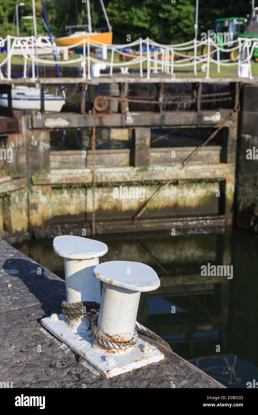 Lock gates at entrance to the marina at Y Felinheli (Port Dinorwic), Gwynedd, North Wales, UK, Britain Stock Photohttps://www.alamy.com/image-license-details/?v=1https://www.alamy.com/lock-gates-at-entrance-to-the-marina-at-y-felinheli-port-dinorwic-image69086933.html
RME0B52D–Lock gates at entrance to the marina at Y Felinheli (Port Dinorwic), Gwynedd, North Wales, UK, Britain
 Close-up of a mooring rope and bollard on wharf in Port Dinorwic marina Y Felinheli, Gwynedd, North Wales, UK, Britain Stock Photohttps://www.alamy.com/image-license-details/?v=1https://www.alamy.com/stock-photo-close-up-of-a-mooring-rope-and-bollard-on-wharf-in-port-dinorwic-marina-32175942.html
RMBT9MMP–Close-up of a mooring rope and bollard on wharf in Port Dinorwic marina Y Felinheli, Gwynedd, North Wales, UK, Britain
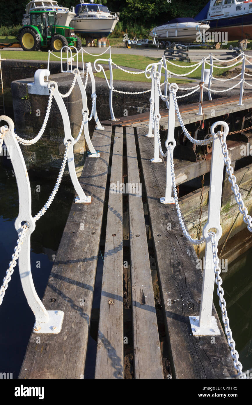 View along the walkway with white chain fence above the lock gates in the marina at Y Felinheli North Wales UK Stock Photohttps://www.alamy.com/image-license-details/?v=1https://www.alamy.com/stock-photo-view-along-the-walkway-with-white-chain-fence-above-the-lock-gates-47962633.html
RMCP0TR5–View along the walkway with white chain fence above the lock gates in the marina at Y Felinheli North Wales UK
 UK, Europe. Little girl taking photographs with a pink compact digital camera outdoors Stock Photohttps://www.alamy.com/image-license-details/?v=1https://www.alamy.com/stock-photo-uk-europe-little-girl-taking-photographs-with-a-pink-compact-digital-35552336.html
RMC1RFA8–UK, Europe. Little girl taking photographs with a pink compact digital camera outdoors
 Revd W Jones, Y Felinheli Stock Photohttps://www.alamy.com/image-license-details/?v=1https://www.alamy.com/revd-w-jones-y-felinheli-image455460149.html
RM2HD001W–Revd W Jones, Y Felinheli
 Port Dinorwic harbour. Stock Photohttps://www.alamy.com/image-license-details/?v=1https://www.alamy.com/stock-photo-port-dinorwic-harbour-147642745.html
RMJG5KR5–Port Dinorwic harbour.
 Halfawy House Y Felinheli NLW3361476 Stock Photohttps://www.alamy.com/image-license-details/?v=1https://www.alamy.com/stock-photo-halfawy-house-y-felinheli-nlw3361476-147592327.html
RMJG3BEF–Halfawy House Y Felinheli NLW3361476
 Competitors on 10k Run Y Felinheli North West Wales Stock Photohttps://www.alamy.com/image-license-details/?v=1https://www.alamy.com/competitors-on-10k-run-y-felinheli-north-west-wales-image9106984.html
RMAR4JX9–Competitors on 10k Run Y Felinheli North West Wales
 Y Felinheli, Gwynedd, GB, United Kingdom, Wales, N 53 10' 29'', S 4 13' 17'', map, Cartascapes Map published in 2024. Explore Cartascapes, a map revealing Earth's diverse landscapes, cultures, and ecosystems. Journey through time and space, discovering the interconnectedness of our planet's past, present, and future. Stock Photohttps://www.alamy.com/image-license-details/?v=1https://www.alamy.com/y-felinheli-gwynedd-gb-united-kingdom-wales-n-53-10-29-s-4-13-17-map-cartascapes-map-published-in-2024-explore-cartascapes-a-map-revealing-earths-diverse-landscapes-cultures-and-ecosystems-journey-through-time-and-space-discovering-the-interconnectedness-of-our-planets-past-present-and-future-image604259301.html
RM2X32AW9–Y Felinheli, Gwynedd, GB, United Kingdom, Wales, N 53 10' 29'', S 4 13' 17'', map, Cartascapes Map published in 2024. Explore Cartascapes, a map revealing Earth's diverse landscapes, cultures, and ecosystems. Journey through time and space, discovering the interconnectedness of our planet's past, present, and future.
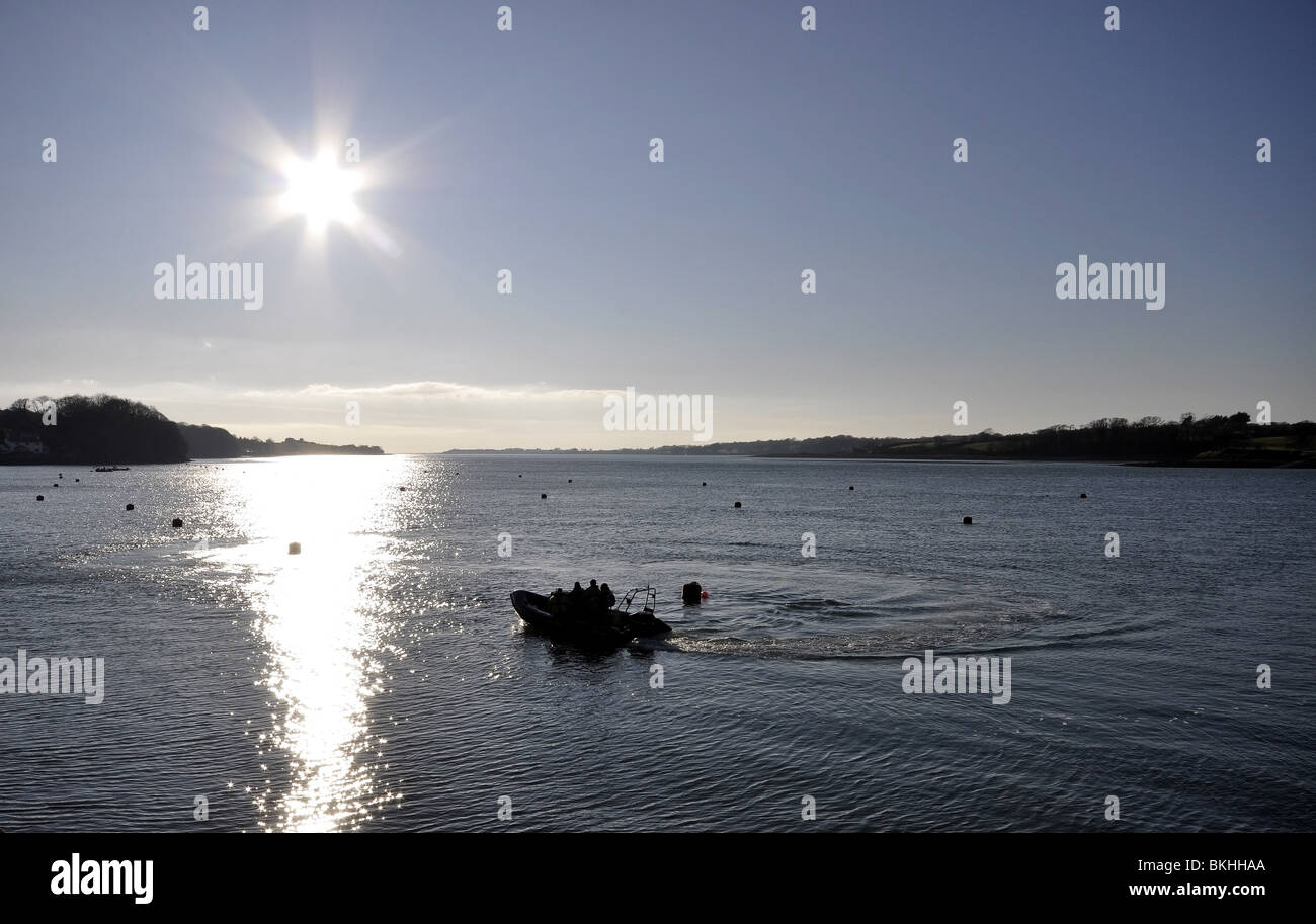 Port Dinorwig Menai Straights North Wales UK Stock Photohttps://www.alamy.com/image-license-details/?v=1https://www.alamy.com/stock-photo-port-dinorwig-menai-straights-north-wales-uk-29275634.html
RMBKHHAA–Port Dinorwig Menai Straights North Wales UK
 Gwynedd, region of Wales - Great Britain. High resolution satellite map Stock Photohttps://www.alamy.com/image-license-details/?v=1https://www.alamy.com/gwynedd-region-of-wales-great-britain-high-resolution-satellite-map-image546192502.html
RF2PMH632–Gwynedd, region of Wales - Great Britain. High resolution satellite map
 Port Dinorwic Menai Straits Gwynedd North Wales UK United Kingdom EU European Union Europe Stock Photohttps://www.alamy.com/image-license-details/?v=1https://www.alamy.com/stock-photo-port-dinorwic-menai-straits-gwynedd-north-wales-uk-united-kingdom-32303091.html
RMBTFEWR–Port Dinorwic Menai Straits Gwynedd North Wales UK United Kingdom EU European Union Europe
 Quay and Colonel Wyatt's house, Y Felinheli Stock Photohttps://www.alamy.com/image-license-details/?v=1https://www.alamy.com/quay-and-colonel-wyatts-house-y-felinheli-image416534609.html
RM2F5JP41–Quay and Colonel Wyatt's house, Y Felinheli
 Slates on the quay Y Felinheli NLW3361480 Stock Photohttps://www.alamy.com/image-license-details/?v=1https://www.alamy.com/stock-photo-slates-on-the-quay-y-felinheli-nlw3361480-147676228.html
RMJG76F0–Slates on the quay Y Felinheli NLW3361480
 Y Felinheli, Gwynedd, United Kingdom, Wales, N 53 11' 14'', W 4 12' 17'', map, Timeless Map published in 2021. Travelers, explorers and adventurers like Florence Nightingale, David Livingstone, Ernest Shackleton, Lewis and Clark and Sherlock Holmes relied on maps to plan travels to the world's most remote corners, Timeless Maps is mapping most locations on the globe, showing the achievement of great dreams Stock Photohttps://www.alamy.com/image-license-details/?v=1https://www.alamy.com/y-felinheli-gwynedd-united-kingdom-wales-n-53-11-14-w-4-12-17-map-timeless-map-published-in-2021-travelers-explorers-and-adventurers-like-florence-nightingale-david-livingstone-ernest-shackleton-lewis-and-clark-and-sherlock-holmes-relied-on-maps-to-plan-travels-to-the-worlds-most-remote-corners-timeless-maps-is-mapping-most-locations-on-the-globe-showing-the-achievement-of-great-dreams-image439407179.html
RM2GETM9F–Y Felinheli, Gwynedd, United Kingdom, Wales, N 53 11' 14'', W 4 12' 17'', map, Timeless Map published in 2021. Travelers, explorers and adventurers like Florence Nightingale, David Livingstone, Ernest Shackleton, Lewis and Clark and Sherlock Holmes relied on maps to plan travels to the world's most remote corners, Timeless Maps is mapping most locations on the globe, showing the achievement of great dreams
 Port Dinorwig Menai Straights boat marina North Wales UK Stock Photohttps://www.alamy.com/image-license-details/?v=1https://www.alamy.com/stock-photo-port-dinorwig-menai-straights-boat-marina-north-wales-uk-29279946.html
RMBKHPTA–Port Dinorwig Menai Straights boat marina North Wales UK
 Gwynedd, region of Wales - Great Britain. Bilevel elevation map with lakes and rivers. Locations of major cities of the region. Corner auxiliary locat Stock Photohttps://www.alamy.com/image-license-details/?v=1https://www.alamy.com/gwynedd-region-of-wales-great-britain-bilevel-elevation-map-with-lakes-and-rivers-locations-of-major-cities-of-the-region-corner-auxiliary-locat-image546192222.html
RF2PMH5N2–Gwynedd, region of Wales - Great Britain. Bilevel elevation map with lakes and rivers. Locations of major cities of the region. Corner auxiliary locat
 Slates on the quay, Y Felinheli Stock Photohttps://www.alamy.com/image-license-details/?v=1https://www.alamy.com/slates-on-the-quay-y-felinheli-image457509392.html
RM2HG99W4–Slates on the quay, Y Felinheli
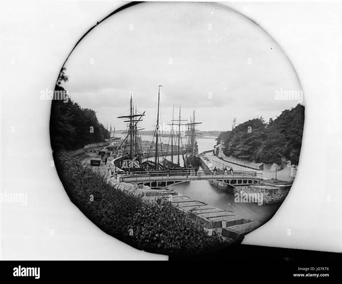 The iron bridge and the quay Y Felinheli NLW3361481 Stock Photohttps://www.alamy.com/image-license-details/?v=1https://www.alamy.com/stock-photo-the-iron-bridge-and-the-quay-y-felinheli-nlw3361481-147686678.html
RMJG7KT6–The iron bridge and the quay Y Felinheli NLW3361481
 Gwynedd, region of Wales - Great Britain. Low resolution satellite map Stock Photohttps://www.alamy.com/image-license-details/?v=1https://www.alamy.com/gwynedd-region-of-wales-great-britain-low-resolution-satellite-map-image546192550.html
RF2PMH64P–Gwynedd, region of Wales - Great Britain. Low resolution satellite map
 The iron bridge and quay, Y Felinheli Stock Photohttps://www.alamy.com/image-license-details/?v=1https://www.alamy.com/the-iron-bridge-and-quay-y-felinheli-image478328013.html
RM2JP5M79–The iron bridge and quay, Y Felinheli
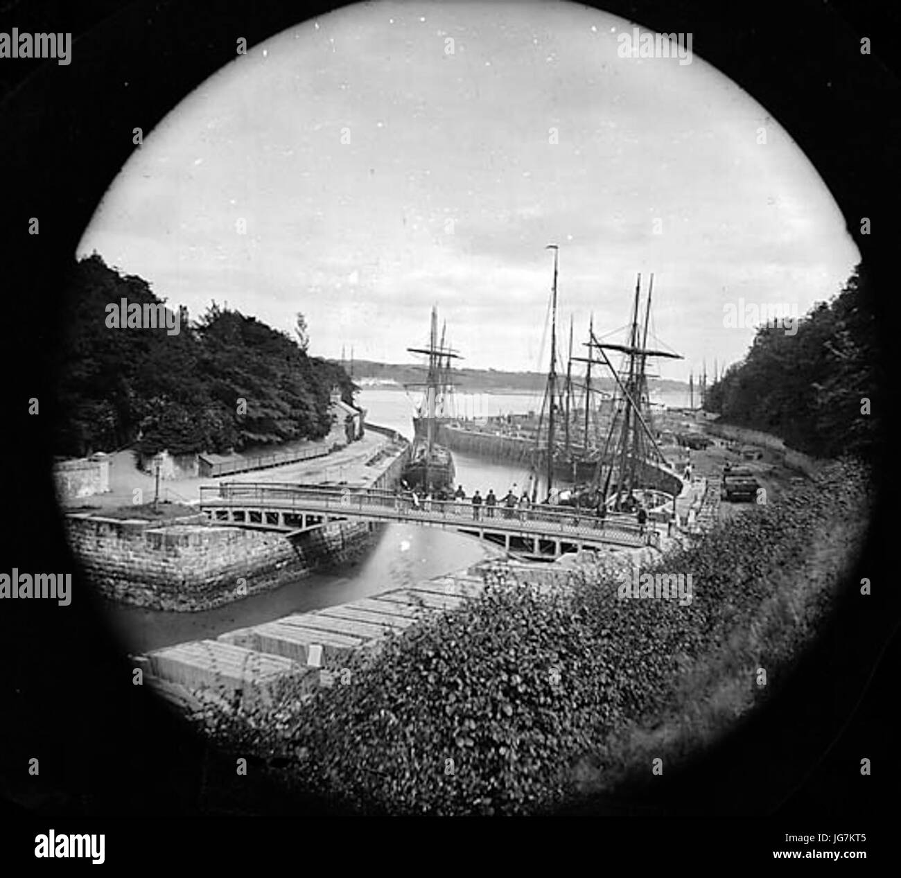 The iron bridge and quay Y Felinheli NLW3361477 Stock Photohttps://www.alamy.com/image-license-details/?v=1https://www.alamy.com/stock-photo-the-iron-bridge-and-quay-y-felinheli-nlw3361477-147686677.html
RMJG7KT5–The iron bridge and quay Y Felinheli NLW3361477
 Gwynedd, region of Wales - Great Britain. Grayscale elevation map with lakes and rivers Stock Photohttps://www.alamy.com/image-license-details/?v=1https://www.alamy.com/gwynedd-region-of-wales-great-britain-grayscale-elevation-map-with-lakes-and-rivers-image546192282.html
RF2PMH5R6–Gwynedd, region of Wales - Great Britain. Grayscale elevation map with lakes and rivers
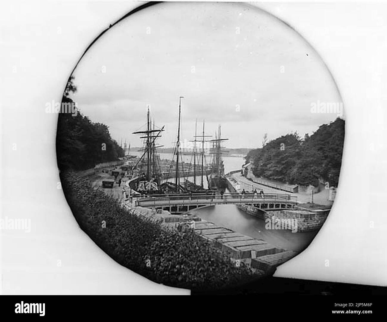 The iron bridge and the quay, Y Felinheli Stock Photohttps://www.alamy.com/image-license-details/?v=1https://www.alamy.com/the-iron-bridge-and-the-quay-y-felinheli-image478327991.html
RM2JP5M6F–The iron bridge and the quay, Y Felinheli
 Revd W Jones, Y Felinheli NLW3365179 Stock Photohttps://www.alamy.com/image-license-details/?v=1https://www.alamy.com/stock-photo-revd-w-jones-y-felinheli-nlw3365179-143414049.html
RMJ99229–Revd W Jones, Y Felinheli NLW3365179
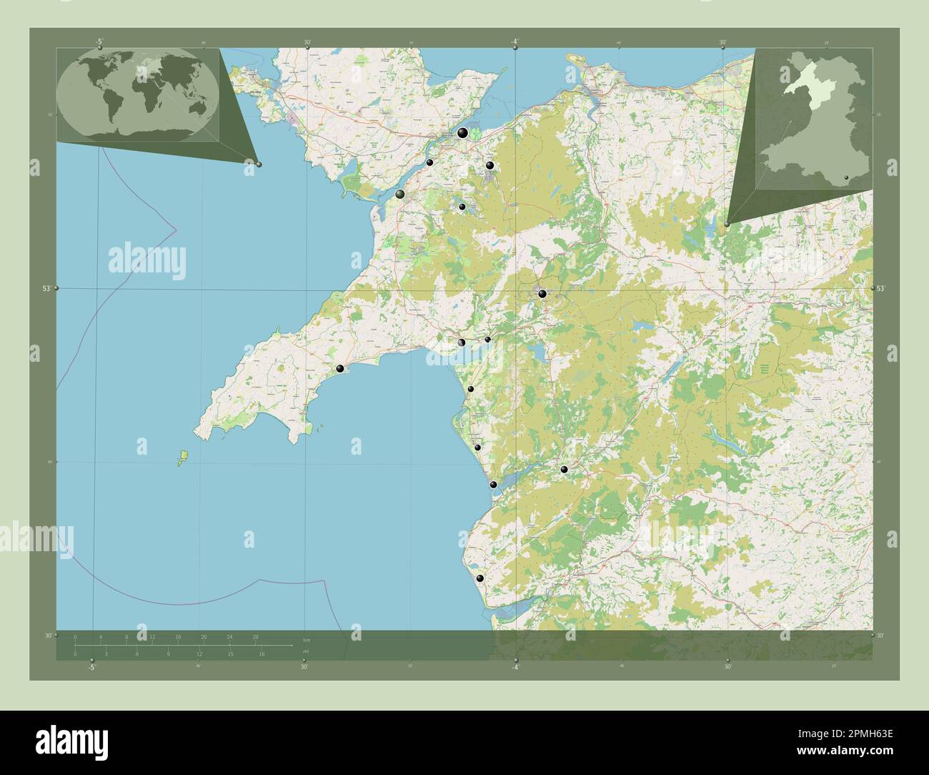 Gwynedd, region of Wales - Great Britain. Open Street Map. Locations of major cities of the region. Corner auxiliary location maps Stock Photohttps://www.alamy.com/image-license-details/?v=1https://www.alamy.com/gwynedd-region-of-wales-great-britain-open-street-map-locations-of-major-cities-of-the-region-corner-auxiliary-location-maps-image546192514.html
RF2PMH63E–Gwynedd, region of Wales - Great Britain. Open Street Map. Locations of major cities of the region. Corner auxiliary location maps
 Quay and Colonel Wyatt s house Y Felinheli NLW3361478 Stock Photohttps://www.alamy.com/image-license-details/?v=1https://www.alamy.com/stock-photo-quay-and-colonel-wyatt-s-house-y-felinheli-nlw3361478-147660375.html
RMJG6E8R–Quay and Colonel Wyatt s house Y Felinheli NLW3361478
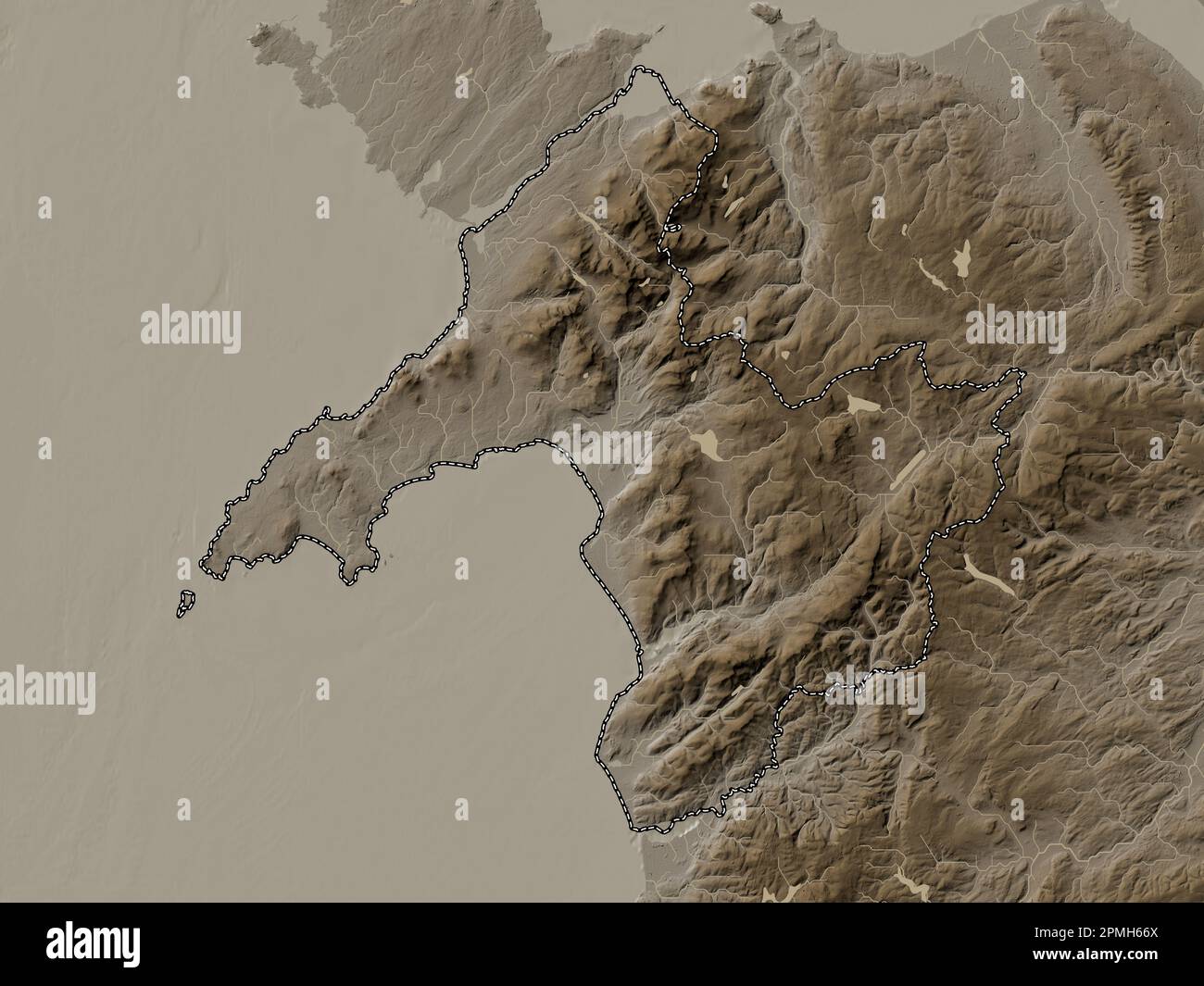 Gwynedd, region of Wales - Great Britain. Elevation map colored in sepia tones with lakes and rivers Stock Photohttps://www.alamy.com/image-license-details/?v=1https://www.alamy.com/gwynedd-region-of-wales-great-britain-elevation-map-colored-in-sepia-tones-with-lakes-and-rivers-image546192610.html
RF2PMH66X–Gwynedd, region of Wales - Great Britain. Elevation map colored in sepia tones with lakes and rivers
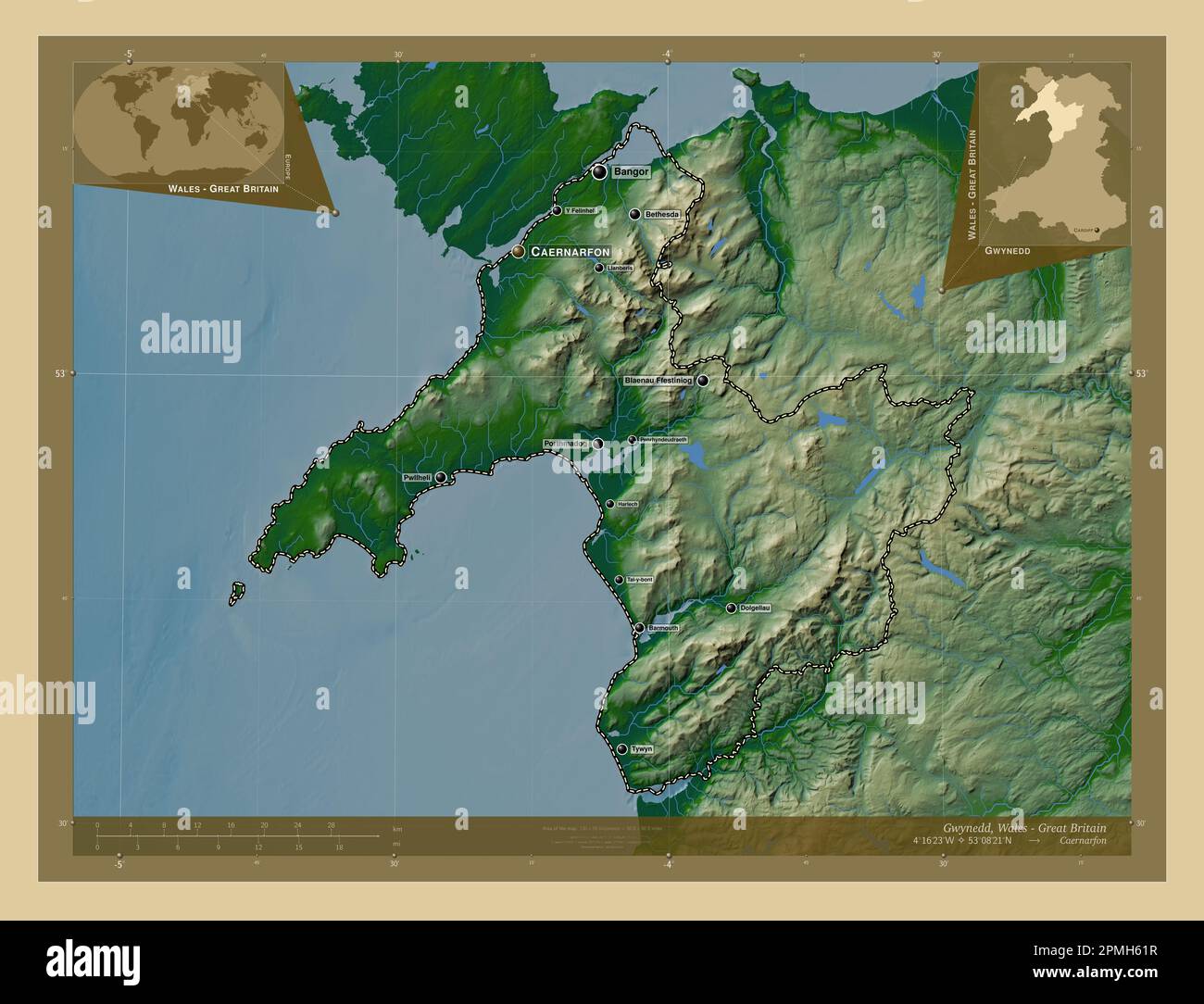 Gwynedd, region of Wales - Great Britain. Colored elevation map with lakes and rivers. Locations and names of major cities of the region. Corner auxil Stock Photohttps://www.alamy.com/image-license-details/?v=1https://www.alamy.com/gwynedd-region-of-wales-great-britain-colored-elevation-map-with-lakes-and-rivers-locations-and-names-of-major-cities-of-the-region-corner-auxil-image546192467.html
RF2PMH61R–Gwynedd, region of Wales - Great Britain. Colored elevation map with lakes and rivers. Locations and names of major cities of the region. Corner auxil
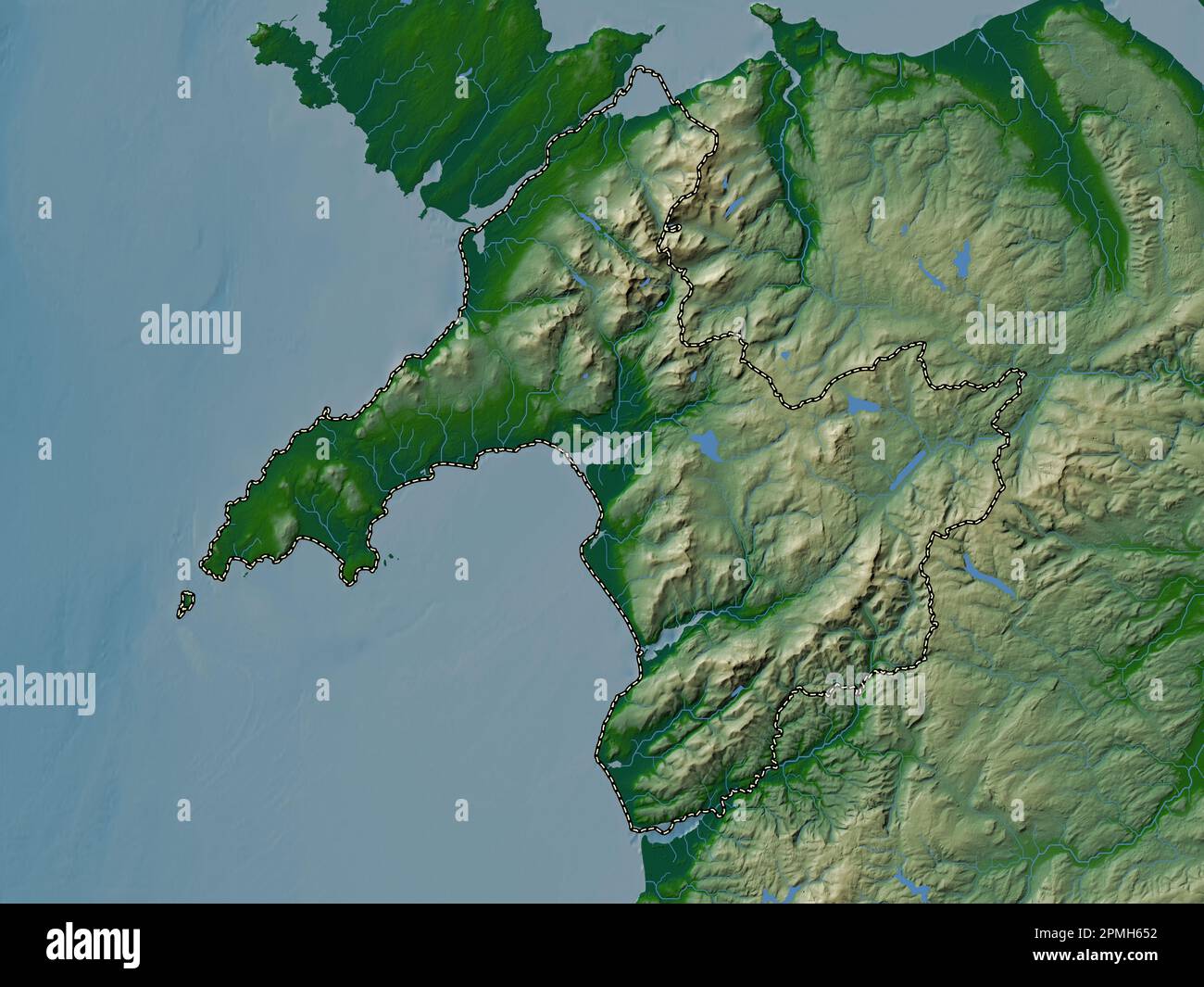 Gwynedd, region of Wales - Great Britain. Colored elevation map with lakes and rivers Stock Photohttps://www.alamy.com/image-license-details/?v=1https://www.alamy.com/gwynedd-region-of-wales-great-britain-colored-elevation-map-with-lakes-and-rivers-image546192558.html
RF2PMH652–Gwynedd, region of Wales - Great Britain. Colored elevation map with lakes and rivers
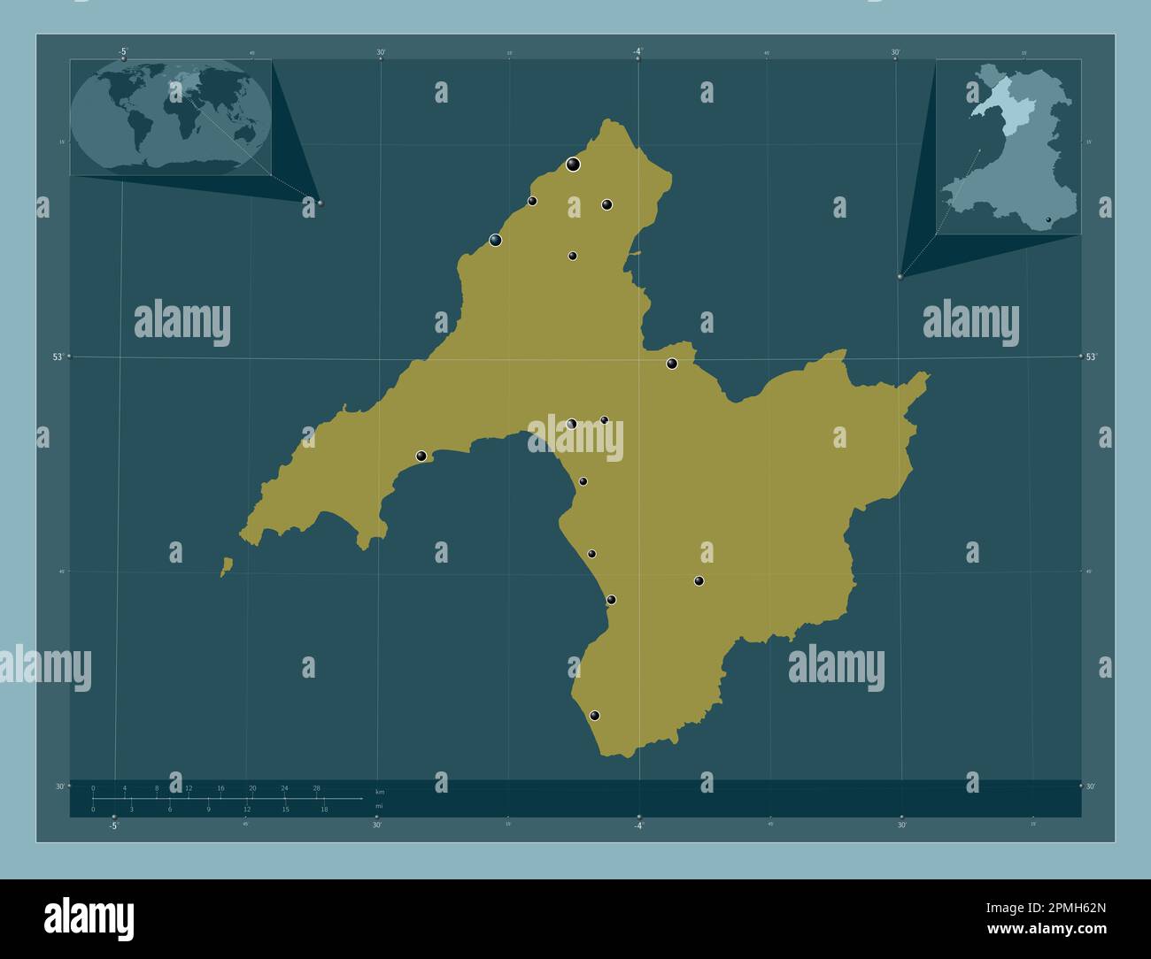 Gwynedd, region of Wales - Great Britain. Solid color shape. Locations of major cities of the region. Corner auxiliary location maps Stock Photohttps://www.alamy.com/image-license-details/?v=1https://www.alamy.com/gwynedd-region-of-wales-great-britain-solid-color-shape-locations-of-major-cities-of-the-region-corner-auxiliary-location-maps-image546192493.html
RF2PMH62N–Gwynedd, region of Wales - Great Britain. Solid color shape. Locations of major cities of the region. Corner auxiliary location maps
 Gwynedd, region of Wales - Great Britain. Elevation map colored in sepia tones with lakes and rivers. Locations of major cities of the region. Corner Stock Photohttps://www.alamy.com/image-license-details/?v=1https://www.alamy.com/gwynedd-region-of-wales-great-britain-elevation-map-colored-in-sepia-tones-with-lakes-and-rivers-locations-of-major-cities-of-the-region-corner-image546192652.html
RF2PMH68C–Gwynedd, region of Wales - Great Britain. Elevation map colored in sepia tones with lakes and rivers. Locations of major cities of the region. Corner
 Gwynedd, region of Wales - Great Britain. Elevation map colored in wiki style with lakes and rivers. Locations and names of major cities of the region Stock Photohttps://www.alamy.com/image-license-details/?v=1https://www.alamy.com/gwynedd-region-of-wales-great-britain-elevation-map-colored-in-wiki-style-with-lakes-and-rivers-locations-and-names-of-major-cities-of-the-region-image546192708.html
RF2PMH6AC–Gwynedd, region of Wales - Great Britain. Elevation map colored in wiki style with lakes and rivers. Locations and names of major cities of the region
 Gwynedd, region of Wales - Great Britain. Elevation map colored in sepia tones with lakes and rivers. Locations and names of major cities of the regio Stock Photohttps://www.alamy.com/image-license-details/?v=1https://www.alamy.com/gwynedd-region-of-wales-great-britain-elevation-map-colored-in-sepia-tones-with-lakes-and-rivers-locations-and-names-of-major-cities-of-the-regio-image546192644.html
RF2PMH684–Gwynedd, region of Wales - Great Britain. Elevation map colored in sepia tones with lakes and rivers. Locations and names of major cities of the regio
 Gwynedd, region of Wales - Great Britain. Grayscale elevation map with lakes and rivers. Locations of major cities of the region. Corner auxiliary loc Stock Photohttps://www.alamy.com/image-license-details/?v=1https://www.alamy.com/gwynedd-region-of-wales-great-britain-grayscale-elevation-map-with-lakes-and-rivers-locations-of-major-cities-of-the-region-corner-auxiliary-loc-image546192276.html
RF2PMH5R0–Gwynedd, region of Wales - Great Britain. Grayscale elevation map with lakes and rivers. Locations of major cities of the region. Corner auxiliary loc
 Gwynedd, region of Wales - Great Britain. Elevation map colored in wiki style with lakes and rivers. Locations of major cities of the region. Corner a Stock Photohttps://www.alamy.com/image-license-details/?v=1https://www.alamy.com/gwynedd-region-of-wales-great-britain-elevation-map-colored-in-wiki-style-with-lakes-and-rivers-locations-of-major-cities-of-the-region-corner-a-image546192641.html
RF2PMH681–Gwynedd, region of Wales - Great Britain. Elevation map colored in wiki style with lakes and rivers. Locations of major cities of the region. Corner a
 Gwynedd, region of Wales - Great Britain. Solid color shape Stock Photohttps://www.alamy.com/image-license-details/?v=1https://www.alamy.com/gwynedd-region-of-wales-great-britain-solid-color-shape-image546192469.html
RF2PMH61W–Gwynedd, region of Wales - Great Britain. Solid color shape
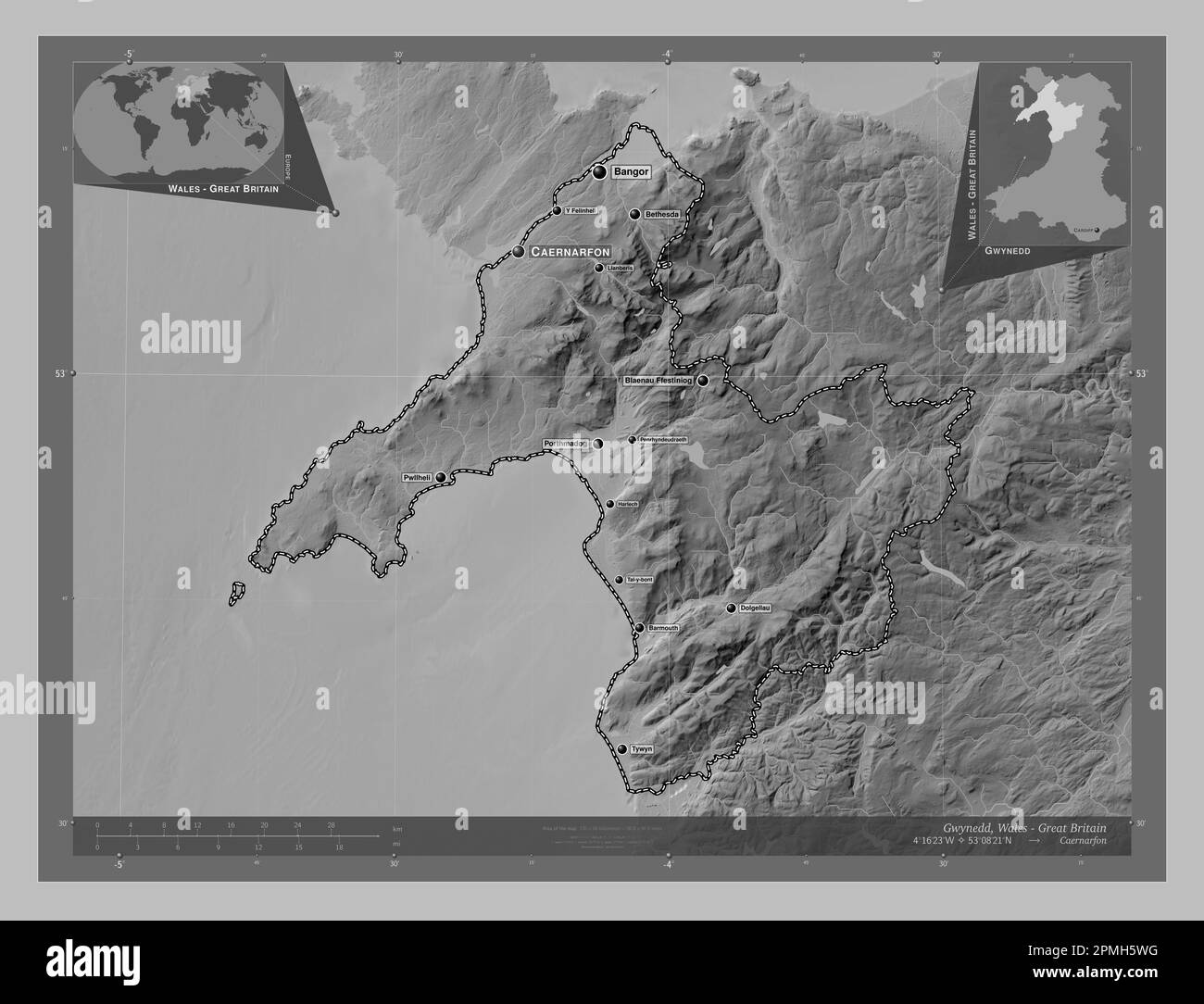 Gwynedd, region of Wales - Great Britain. Grayscale elevation map with lakes and rivers. Locations and names of major cities of the region. Corner aux Stock Photohttps://www.alamy.com/image-license-details/?v=1https://www.alamy.com/gwynedd-region-of-wales-great-britain-grayscale-elevation-map-with-lakes-and-rivers-locations-and-names-of-major-cities-of-the-region-corner-aux-image546192348.html
RF2PMH5WG–Gwynedd, region of Wales - Great Britain. Grayscale elevation map with lakes and rivers. Locations and names of major cities of the region. Corner aux
 Gwynedd, region of Wales - Great Britain. Open Street Map. Locations and names of major cities of the region. Corner auxiliary location maps Stock Photohttps://www.alamy.com/image-license-details/?v=1https://www.alamy.com/gwynedd-region-of-wales-great-britain-open-street-map-locations-and-names-of-major-cities-of-the-region-corner-auxiliary-location-maps-image546192642.html
RF2PMH682–Gwynedd, region of Wales - Great Britain. Open Street Map. Locations and names of major cities of the region. Corner auxiliary location maps
 Gwynedd, region of Wales - Great Britain. Low resolution satellite map. Locations and names of major cities of the region. Corner auxiliary location m Stock Photohttps://www.alamy.com/image-license-details/?v=1https://www.alamy.com/gwynedd-region-of-wales-great-britain-low-resolution-satellite-map-locations-and-names-of-major-cities-of-the-region-corner-auxiliary-location-m-image546192637.html
RF2PMH67W–Gwynedd, region of Wales - Great Britain. Low resolution satellite map. Locations and names of major cities of the region. Corner auxiliary location m
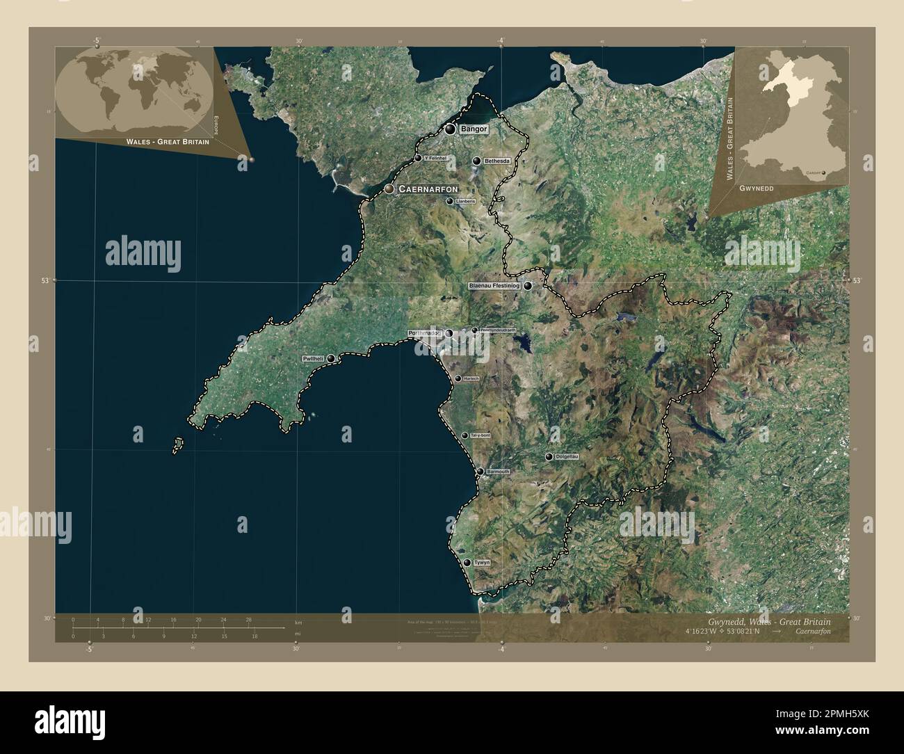 Gwynedd, region of Wales - Great Britain. High resolution satellite map. Locations and names of major cities of the region. Corner auxiliary location Stock Photohttps://www.alamy.com/image-license-details/?v=1https://www.alamy.com/gwynedd-region-of-wales-great-britain-high-resolution-satellite-map-locations-and-names-of-major-cities-of-the-region-corner-auxiliary-location-image546192379.html
RF2PMH5XK–Gwynedd, region of Wales - Great Britain. High resolution satellite map. Locations and names of major cities of the region. Corner auxiliary location
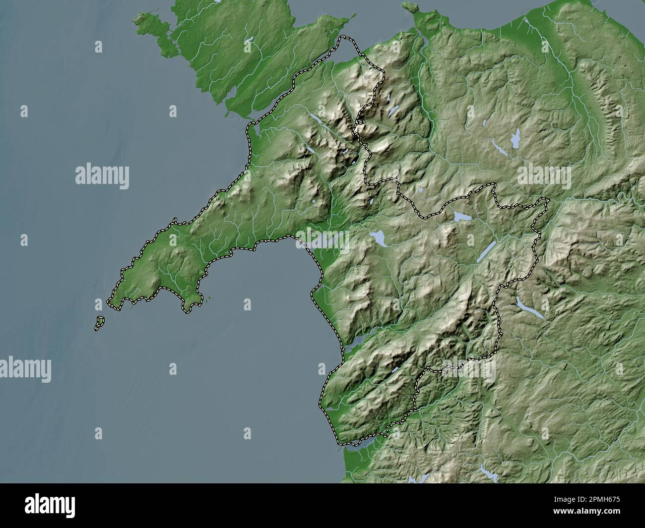 Gwynedd, region of Wales - Great Britain. Elevation map colored in wiki style with lakes and rivers Stock Photohttps://www.alamy.com/image-license-details/?v=1https://www.alamy.com/gwynedd-region-of-wales-great-britain-elevation-map-colored-in-wiki-style-with-lakes-and-rivers-image546192617.html
RF2PMH675–Gwynedd, region of Wales - Great Britain. Elevation map colored in wiki style with lakes and rivers
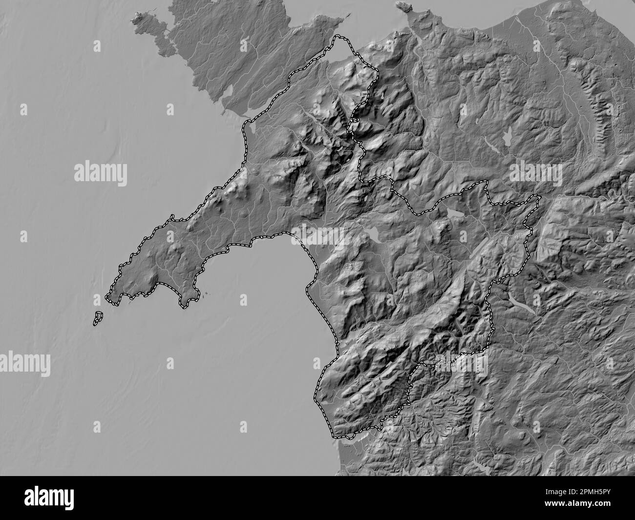 Gwynedd, region of Wales - Great Britain. Bilevel elevation map with lakes and rivers Stock Photohttps://www.alamy.com/image-license-details/?v=1https://www.alamy.com/gwynedd-region-of-wales-great-britain-bilevel-elevation-map-with-lakes-and-rivers-image546192275.html
RF2PMH5PY–Gwynedd, region of Wales - Great Britain. Bilevel elevation map with lakes and rivers
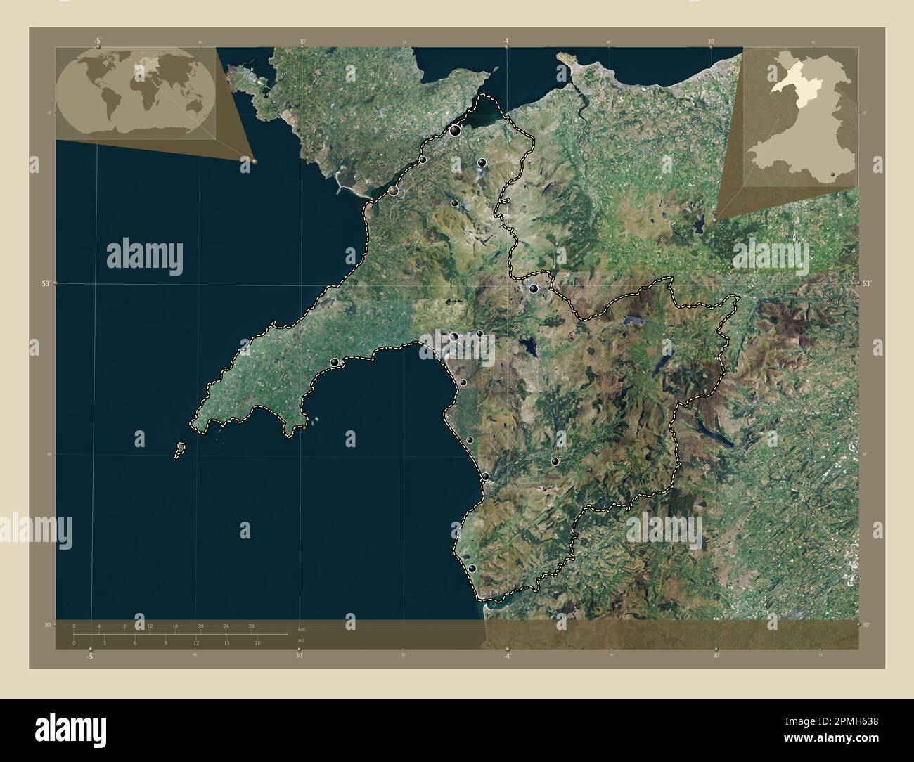 Gwynedd, region of Wales - Great Britain. High resolution satellite map. Locations of major cities of the region. Corner auxiliary location maps Stock Photohttps://www.alamy.com/image-license-details/?v=1https://www.alamy.com/gwynedd-region-of-wales-great-britain-high-resolution-satellite-map-locations-of-major-cities-of-the-region-corner-auxiliary-location-maps-image546192508.html
RF2PMH638–Gwynedd, region of Wales - Great Britain. High resolution satellite map. Locations of major cities of the region. Corner auxiliary location maps
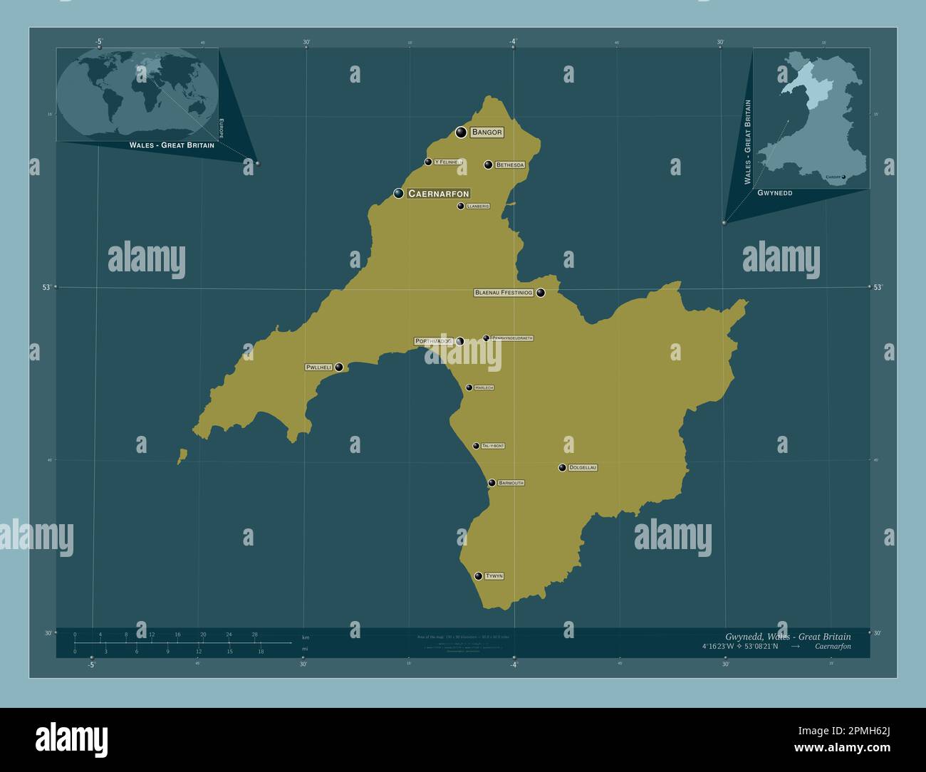 Gwynedd, region of Wales - Great Britain. Solid color shape. Locations and names of major cities of the region. Corner auxiliary location maps Stock Photohttps://www.alamy.com/image-license-details/?v=1https://www.alamy.com/gwynedd-region-of-wales-great-britain-solid-color-shape-locations-and-names-of-major-cities-of-the-region-corner-auxiliary-location-maps-image546192490.html
RF2PMH62J–Gwynedd, region of Wales - Great Britain. Solid color shape. Locations and names of major cities of the region. Corner auxiliary location maps
 Gwynedd, region of Wales - Great Britain. Bilevel elevation map with lakes and rivers. Locations and names of major cities of the region. Corner auxil Stock Photohttps://www.alamy.com/image-license-details/?v=1https://www.alamy.com/gwynedd-region-of-wales-great-britain-bilevel-elevation-map-with-lakes-and-rivers-locations-and-names-of-major-cities-of-the-region-corner-auxil-image546192273.html
RF2PMH5PW–Gwynedd, region of Wales - Great Britain. Bilevel elevation map with lakes and rivers. Locations and names of major cities of the region. Corner auxil
 Gwynedd, region of Wales - Great Britain. Low resolution satellite map. Locations of major cities of the region. Corner auxiliary location maps Stock Photohttps://www.alamy.com/image-license-details/?v=1https://www.alamy.com/gwynedd-region-of-wales-great-britain-low-resolution-satellite-map-locations-of-major-cities-of-the-region-corner-auxiliary-location-maps-image546192564.html
RF2PMH658–Gwynedd, region of Wales - Great Britain. Low resolution satellite map. Locations of major cities of the region. Corner auxiliary location maps
