Quick filters:
Yemen border Stock Photos and Images
 Feb. 26, 2012 - Yemen –Aden border: Government guards trek back to camp in a single file. ne Pictu Stock Photohttps://www.alamy.com/image-license-details/?v=1https://www.alamy.com/feb-26-2012-yemen-aden-border-government-guards-trek-back-to-camp-image69524142.html
RME132N2–Feb. 26, 2012 - Yemen –Aden border: Government guards trek back to camp in a single file. ne Pictu
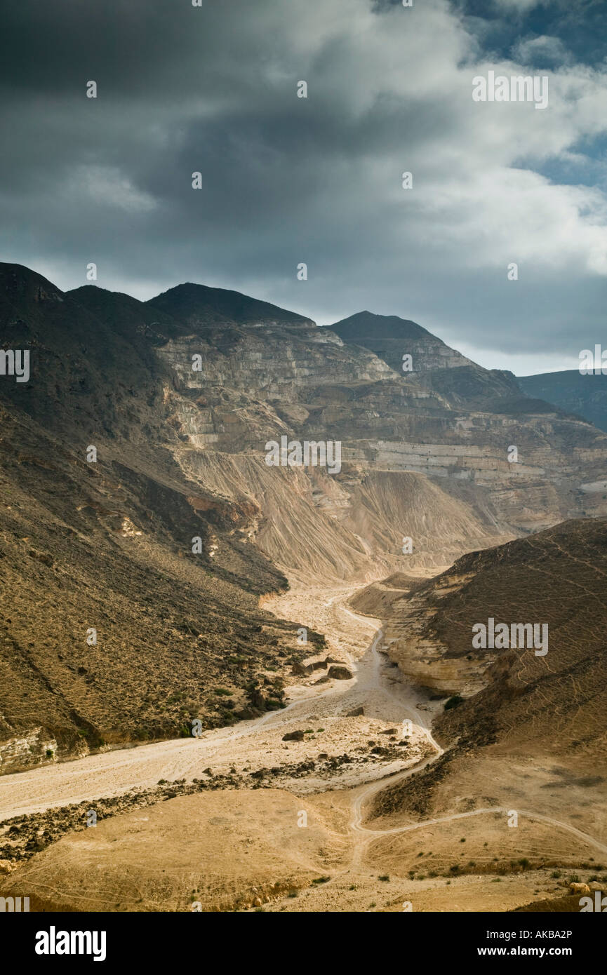 Oman, Dhofar Region, Sarfait Road to the Yemen Border Stock Photohttps://www.alamy.com/image-license-details/?v=1https://www.alamy.com/stock-photo-oman-dhofar-region-sarfait-road-to-the-yemen-border-14946429.html
RMAKBA2P–Oman, Dhofar Region, Sarfait Road to the Yemen Border
 Oman, Salalah. Road between Salalah and the Yemen border. Stock Photohttps://www.alamy.com/image-license-details/?v=1https://www.alamy.com/stock-photo-oman-salalah-road-between-salalah-and-the-yemen-border-33842869.html
RMBY1JWW–Oman, Salalah. Road between Salalah and the Yemen border.
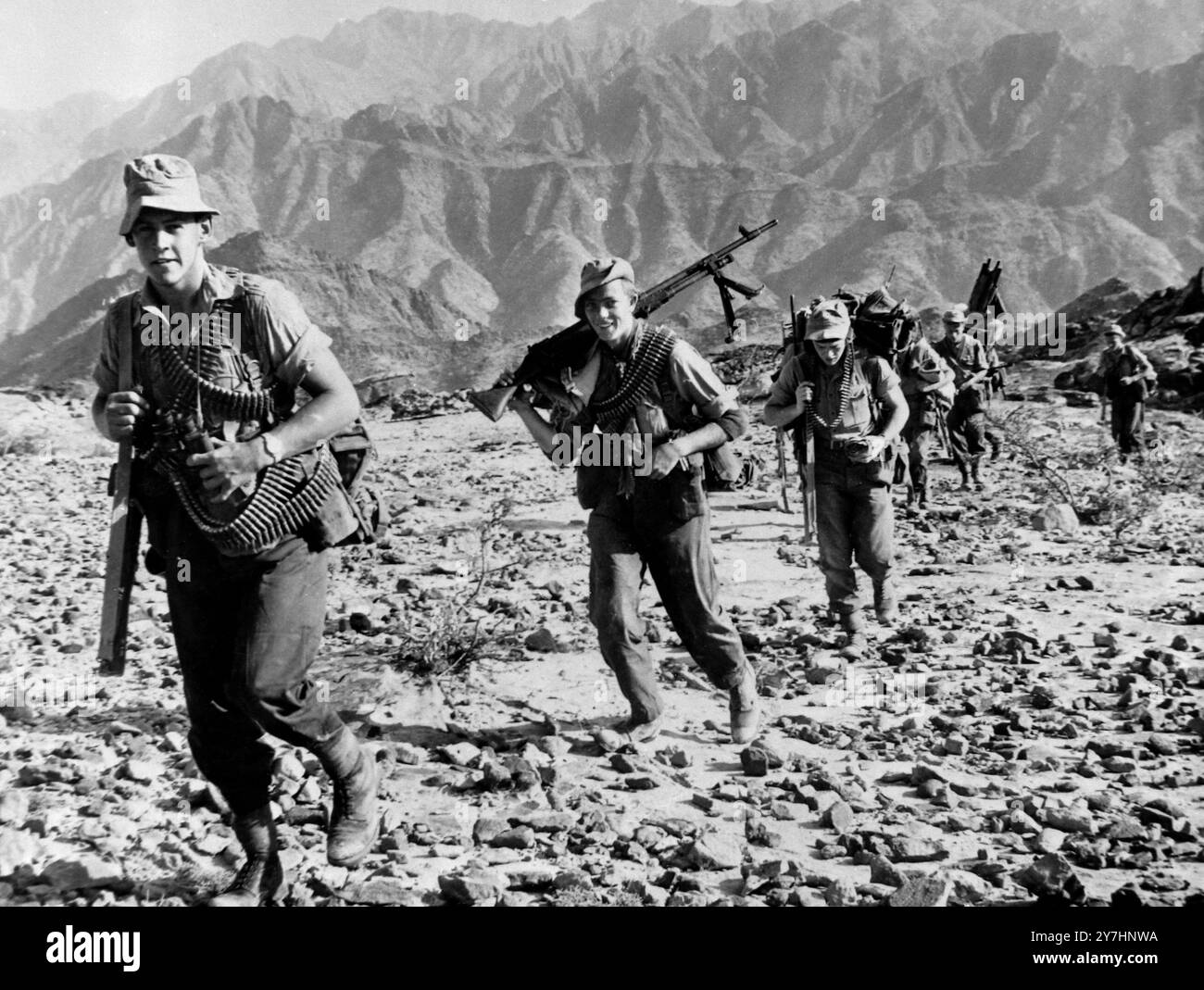 10 MAY 1964 3rd Battalion Para's advance. Paratroopers of the 3rd Battalion, are shown in advancing across rough terrain in the Radfan area here yesterday. Yesterday, British royal air force planes scattered leaflets on the barren mountains south of the Yemen border, calling on the wild Rebel tribesman to sue for peace. The leaflet operation followed a week's offensive by British paratroopers and Royal Marines Commandos and South Arabian Federation troops backed with British armoured cars in the barren oven of the Radfan by mountains. The British Confederation troops are now in command of Stock Photohttps://www.alamy.com/image-license-details/?v=1https://www.alamy.com/10-may-1964-3rd-battalion-paras-advance-paratroopers-of-the-3rd-battalion-are-shown-in-advancing-across-rough-terrain-in-the-radfan-area-here-yesterday-yesterday-british-royal-air-force-planes-scattered-leaflets-on-the-barren-mountains-south-of-the-yemen-border-calling-on-the-wild-rebel-tribesman-to-sue-for-peace-the-leaflet-operation-followed-a-weeks-offensive-by-british-paratroopers-and-royal-marines-commandos-and-south-arabian-federation-troops-backed-with-british-armoured-cars-in-the-barren-oven-of-the-radfan-by-mountains-the-british-confederation-troops-are-now-in-command-of-image624266198.html
RM2Y7HNWA–10 MAY 1964 3rd Battalion Para's advance. Paratroopers of the 3rd Battalion, are shown in advancing across rough terrain in the Radfan area here yesterday. Yesterday, British royal air force planes scattered leaflets on the barren mountains south of the Yemen border, calling on the wild Rebel tribesman to sue for peace. The leaflet operation followed a week's offensive by British paratroopers and Royal Marines Commandos and South Arabian Federation troops backed with British armoured cars in the barren oven of the Radfan by mountains. The British Confederation troops are now in command of
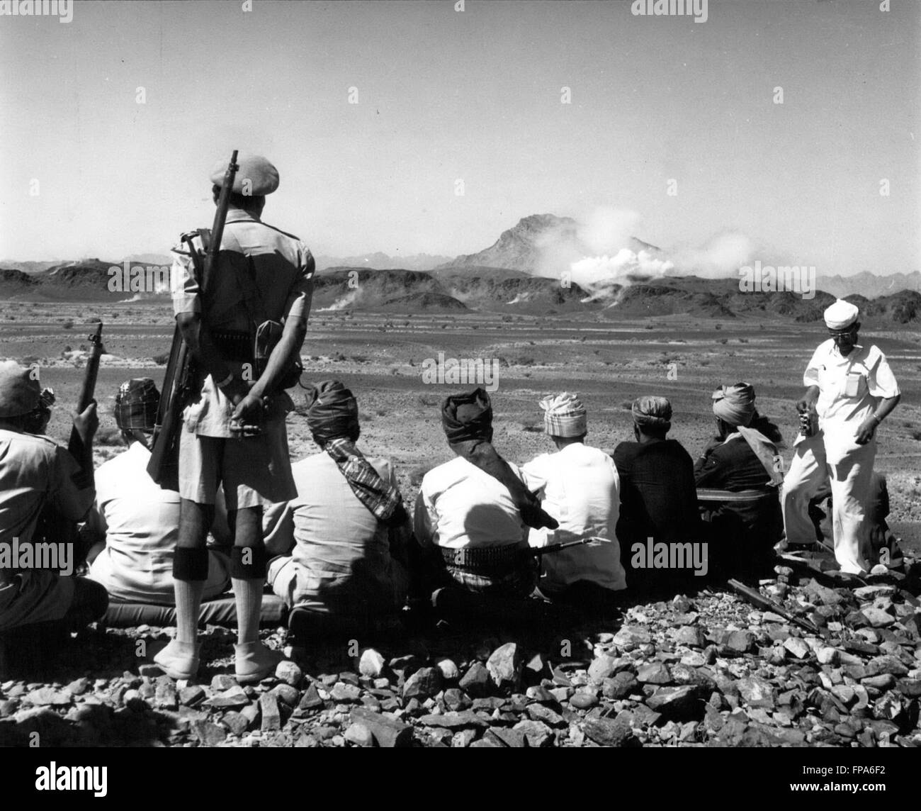 1962 - Yemen -Aden border : Sultans and Headmen watch the Aden Frontier hills as they are pounded by Mortar and Machine - Gunfire. © Keystone Pictures USA/ZUMAPRESS.com/Alamy Live News Stock Photohttps://www.alamy.com/image-license-details/?v=1https://www.alamy.com/stock-photo-1962-yemen-aden-border-sultans-and-headmen-watch-the-aden-frontier-99798918.html
RMFPA6F2–1962 - Yemen -Aden border : Sultans and Headmen watch the Aden Frontier hills as they are pounded by Mortar and Machine - Gunfire. © Keystone Pictures USA/ZUMAPRESS.com/Alamy Live News
 Color satellite image of Yemen, with mask. Stock Photohttps://www.alamy.com/image-license-details/?v=1https://www.alamy.com/color-satellite-image-of-yemen-with-mask-image597467136.html
RM2WM0YC0–Color satellite image of Yemen, with mask.
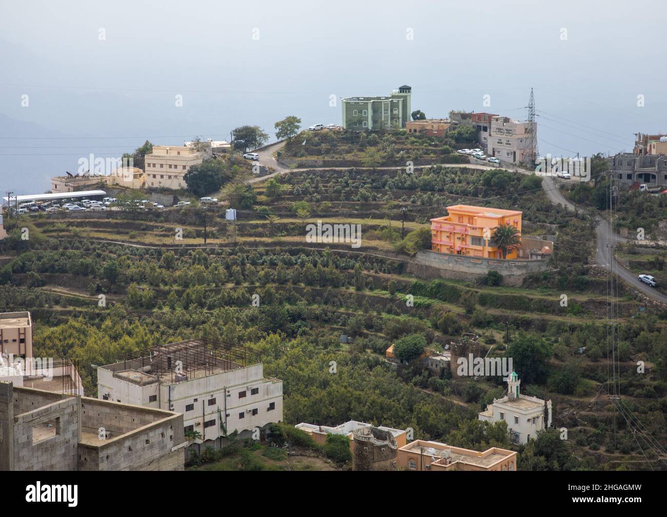 Village in the mountain near the Yemen border, Jizan Province, Faifa Mountains, Saudi Arabia Stock Photohttps://www.alamy.com/image-license-details/?v=1https://www.alamy.com/village-in-the-mountain-near-the-yemen-border-jizan-province-faifa-mountains-saudi-arabia-image457536713.html
RM2HGAGMW–Village in the mountain near the Yemen border, Jizan Province, Faifa Mountains, Saudi Arabia
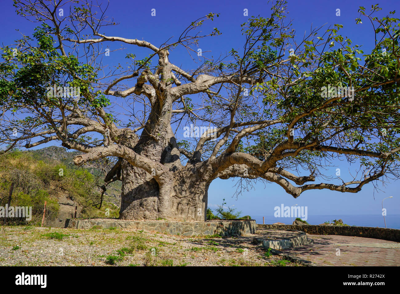 Baobab tre in Dalkut village near the Yemen border, must be the oldest and biggest baobab tree in Oman. Stock Photohttps://www.alamy.com/image-license-details/?v=1https://www.alamy.com/baobab-tre-in-dalkut-village-near-the-yemen-border-must-be-the-oldest-and-biggest-baobab-tree-in-oman-image225120978.html
RFR2742X–Baobab tre in Dalkut village near the Yemen border, must be the oldest and biggest baobab tree in Oman.
 Yemen MAP in Blue, Country Border, Yemen Map, Border line of Yemen, Geographic Map Stock Vectorhttps://www.alamy.com/image-license-details/?v=1https://www.alamy.com/yemen-map-in-blue-country-border-yemen-map-border-line-of-yemen-geographic-map-image633376250.html
RF2YPCNTA–Yemen MAP in Blue, Country Border, Yemen Map, Border line of Yemen, Geographic Map
 Indian Man herding sheep and cows near the Yemen border, Salalah, Oman Stock Photohttps://www.alamy.com/image-license-details/?v=1https://www.alamy.com/indian-man-herding-sheep-and-cows-near-the-yemen-border-salalah-oman-image5901468.html
RMA1TBND–Indian Man herding sheep and cows near the Yemen border, Salalah, Oman
 Yemen logo collection. Colorful badge of the country. Layers around Yemen border shape. Vector illustration. Stock Vectorhttps://www.alamy.com/image-license-details/?v=1https://www.alamy.com/yemen-logo-collection-colorful-badge-of-the-country-layers-around-yemen-border-shape-vector-illustration-image553676713.html
RF2R4P489–Yemen logo collection. Colorful badge of the country. Layers around Yemen border shape. Vector illustration.
 Outline map of Yemen. Border is marked with ribbon in national colors. The package contains frames in national colors and stamp with flag. Stock Vectorhttps://www.alamy.com/image-license-details/?v=1https://www.alamy.com/outline-map-of-yemen-border-is-marked-with-ribbon-in-national-colors-the-package-contains-frames-in-national-colors-and-stamp-with-flag-image608237556.html
RF2X9FH5T–Outline map of Yemen. Border is marked with ribbon in national colors. The package contains frames in national colors and stamp with flag.
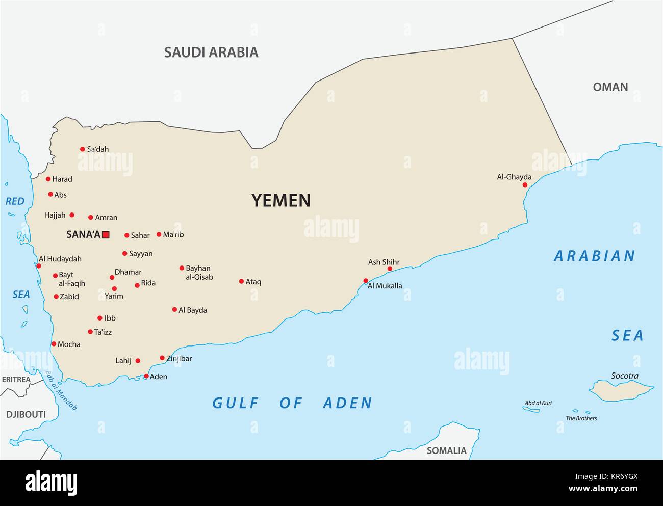 yemen vector map Stock Vectorhttps://www.alamy.com/image-license-details/?v=1https://www.alamy.com/stock-image-yemen-vector-map-169183754.html
RFKR6YGX–yemen vector map
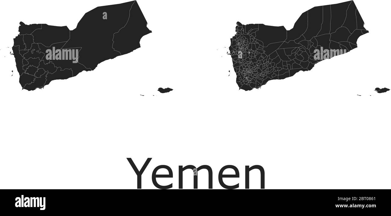 Yemen vector maps with administrative regions, municipalities, departments, borders Stock Vectorhttps://www.alamy.com/image-license-details/?v=1https://www.alamy.com/yemen-vector-maps-with-administrative-regions-municipalities-departments-borders-image358965545.html
RF2BT0861–Yemen vector maps with administrative regions, municipalities, departments, borders
 Yemen Map. Yemeni Country Map. Black and White Yemenite National Nation Geography Outline Border Boundary Territory Shape Vector Illustration EPS Clip Stock Vectorhttps://www.alamy.com/image-license-details/?v=1https://www.alamy.com/yemen-map-yemeni-country-map-black-and-white-yemenite-national-nation-geography-outline-border-boundary-territory-shape-vector-illustration-eps-clip-image477281203.html
RF2JME117–Yemen Map. Yemeni Country Map. Black and White Yemenite National Nation Geography Outline Border Boundary Territory Shape Vector Illustration EPS Clip
 Border fence - Old plastic sign with a flag - Yemen Stock Photohttps://www.alamy.com/image-license-details/?v=1https://www.alamy.com/stock-photo-border-fence-old-plastic-sign-with-a-flag-yemen-77081467.html
RFEDBA5F–Border fence - Old plastic sign with a flag - Yemen
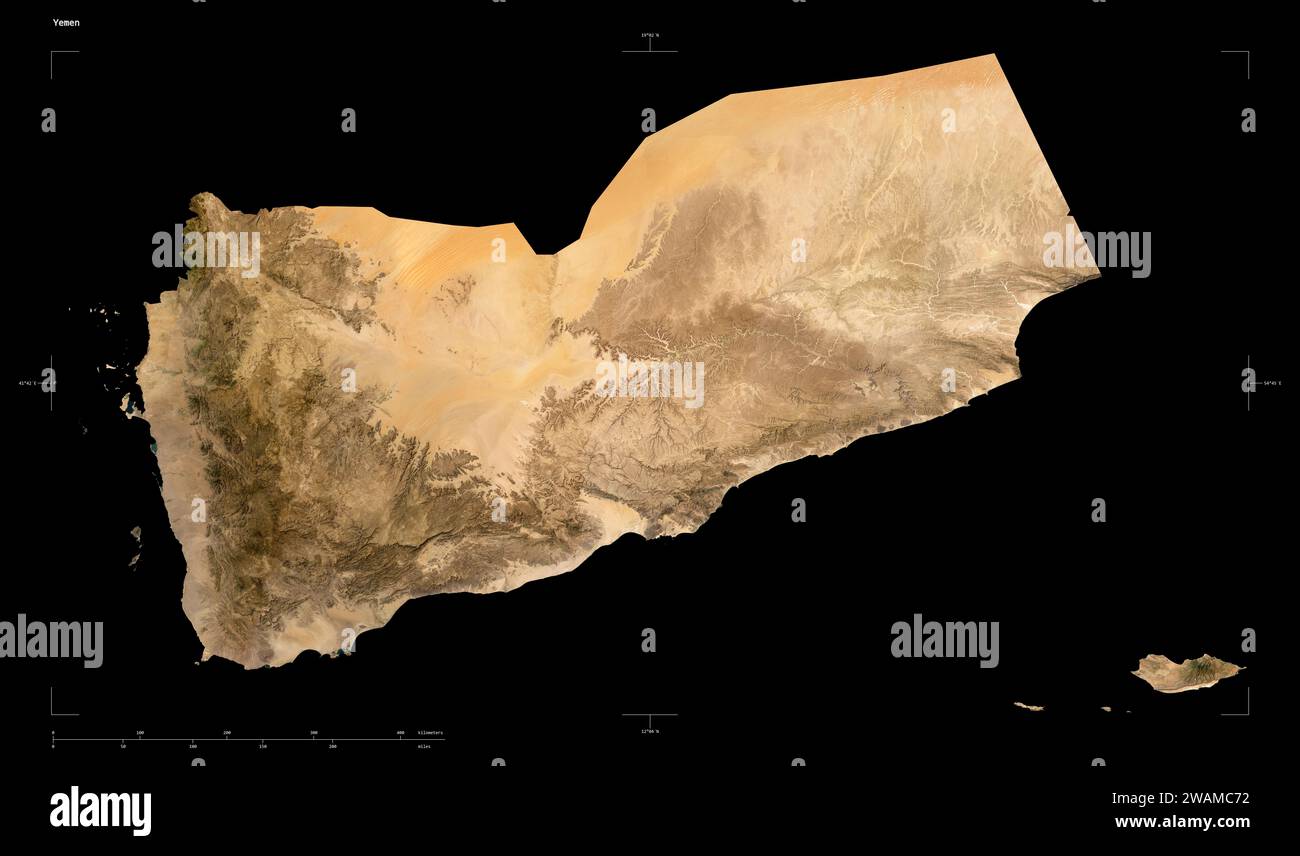 Shape of a low resolution satellite map of the Yemen, with distance scale and map border coordinates, isolated on black Stock Photohttps://www.alamy.com/image-license-details/?v=1https://www.alamy.com/shape-of-a-low-resolution-satellite-map-of-the-yemen-with-distance-scale-and-map-border-coordinates-isolated-on-black-image591747718.html
RF2WAMC72–Shape of a low resolution satellite map of the Yemen, with distance scale and map border coordinates, isolated on black
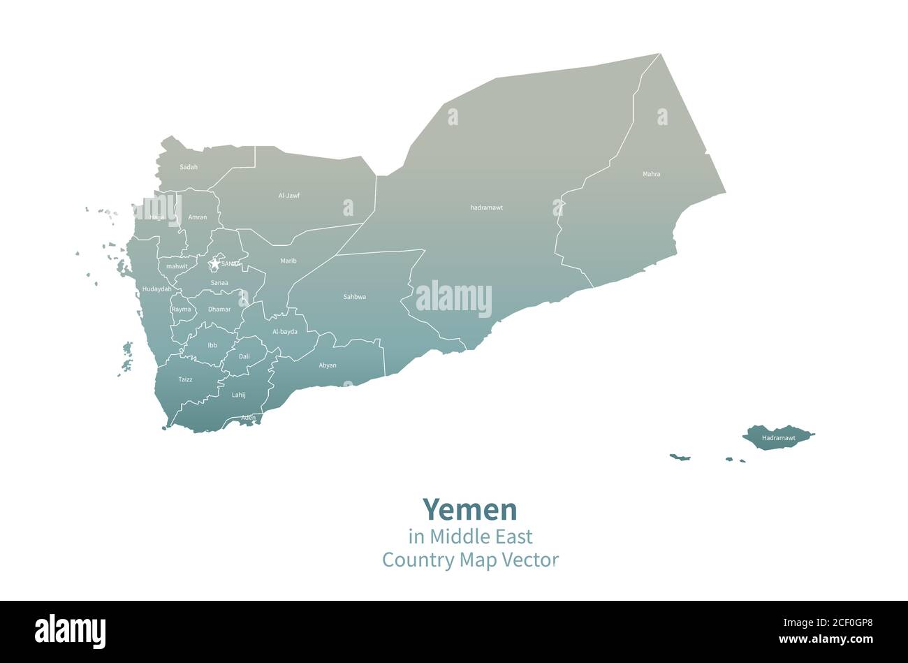 Yemen vector map. Middle East Country Map Green Series. Stock Vectorhttps://www.alamy.com/image-license-details/?v=1https://www.alamy.com/yemen-vector-map-middle-east-country-map-green-series-image370650736.html
RF2CF0GP8–Yemen vector map. Middle East Country Map Green Series.
 asia map with yemen Stock Photohttps://www.alamy.com/image-license-details/?v=1https://www.alamy.com/stock-photo-asia-map-with-yemen-144140313.html
RFJAE4C9–asia map with yemen
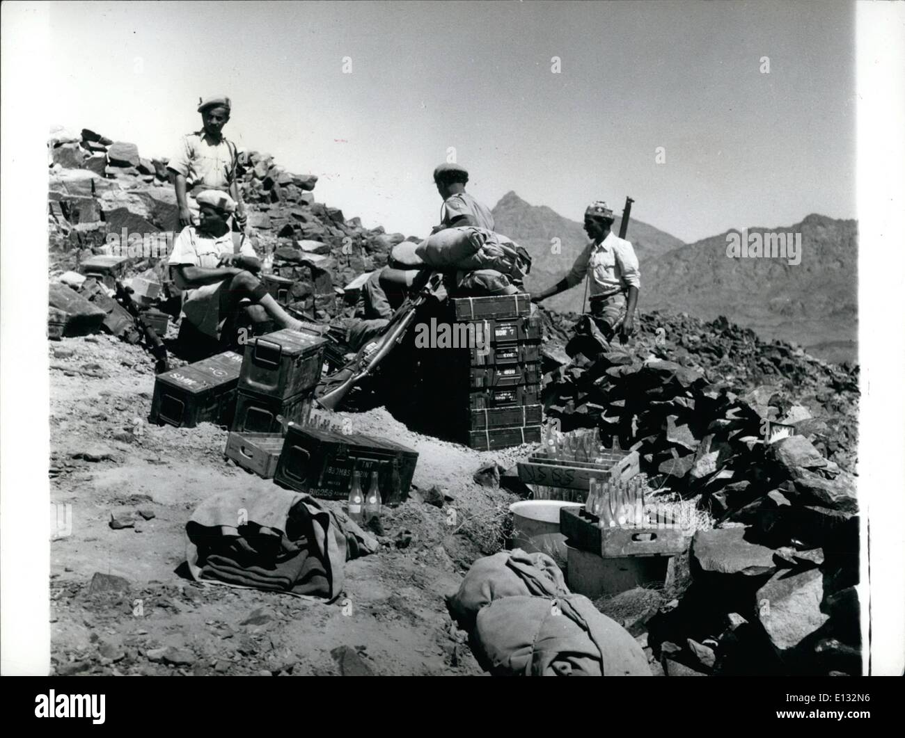 Feb. 26, 2012 - Yemen-Aden Border.: In the brilliant light and intense heat Afen Government Guard rest on their ammunition boxes. Note also the crates of soft drinks. Stock Photohttps://www.alamy.com/image-license-details/?v=1https://www.alamy.com/feb-26-2012-yemen-aden-border-in-the-brilliant-light-and-intense-heat-image69524146.html
RME132N6–Feb. 26, 2012 - Yemen-Aden Border.: In the brilliant light and intense heat Afen Government Guard rest on their ammunition boxes. Note also the crates of soft drinks.
 Oman, Dhofar Region, beside Sarfait Road to the Yemen Border Stock Photohttps://www.alamy.com/image-license-details/?v=1https://www.alamy.com/stock-photo-oman-dhofar-region-beside-sarfait-road-to-the-yemen-border-27141028.html
RFBG4AJC–Oman, Dhofar Region, beside Sarfait Road to the Yemen Border
 Oman, Salalah. Boswellia tree on the road between Salalah and the Yemen border. Stock Photohttps://www.alamy.com/image-license-details/?v=1https://www.alamy.com/stock-photo-oman-salalah-boswellia-tree-on-the-road-between-salalah-and-the-yemen-33842868.html
RMBY1JWT–Oman, Salalah. Boswellia tree on the road between Salalah and the Yemen border.
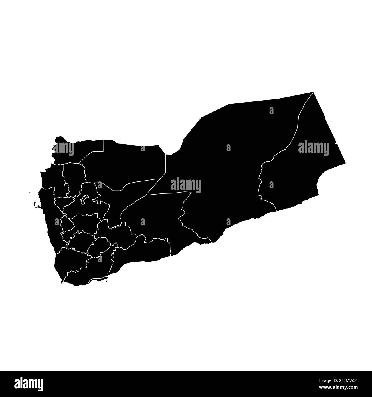 Yemen country map vector with regional areas Stock Vectorhttps://www.alamy.com/image-license-details/?v=1https://www.alamy.com/yemen-country-map-vector-with-regional-areas-image416580896.html
RF2F5MW54–Yemen country map vector with regional areas
 1967 - Yemen-Aden Border.: The lonely ambush country of the Aden protectorate showing they Yemen border in the background. © Keystone Pictures USA/ZUMAPRESS.com/Alamy Live News Stock Photohttps://www.alamy.com/image-license-details/?v=1https://www.alamy.com/stock-photo-1967-yemen-aden-border-the-lonely-ambush-country-of-the-aden-protectorate-89464229.html
RMF5FCF1–1967 - Yemen-Aden Border.: The lonely ambush country of the Aden protectorate showing they Yemen border in the background. © Keystone Pictures USA/ZUMAPRESS.com/Alamy Live News
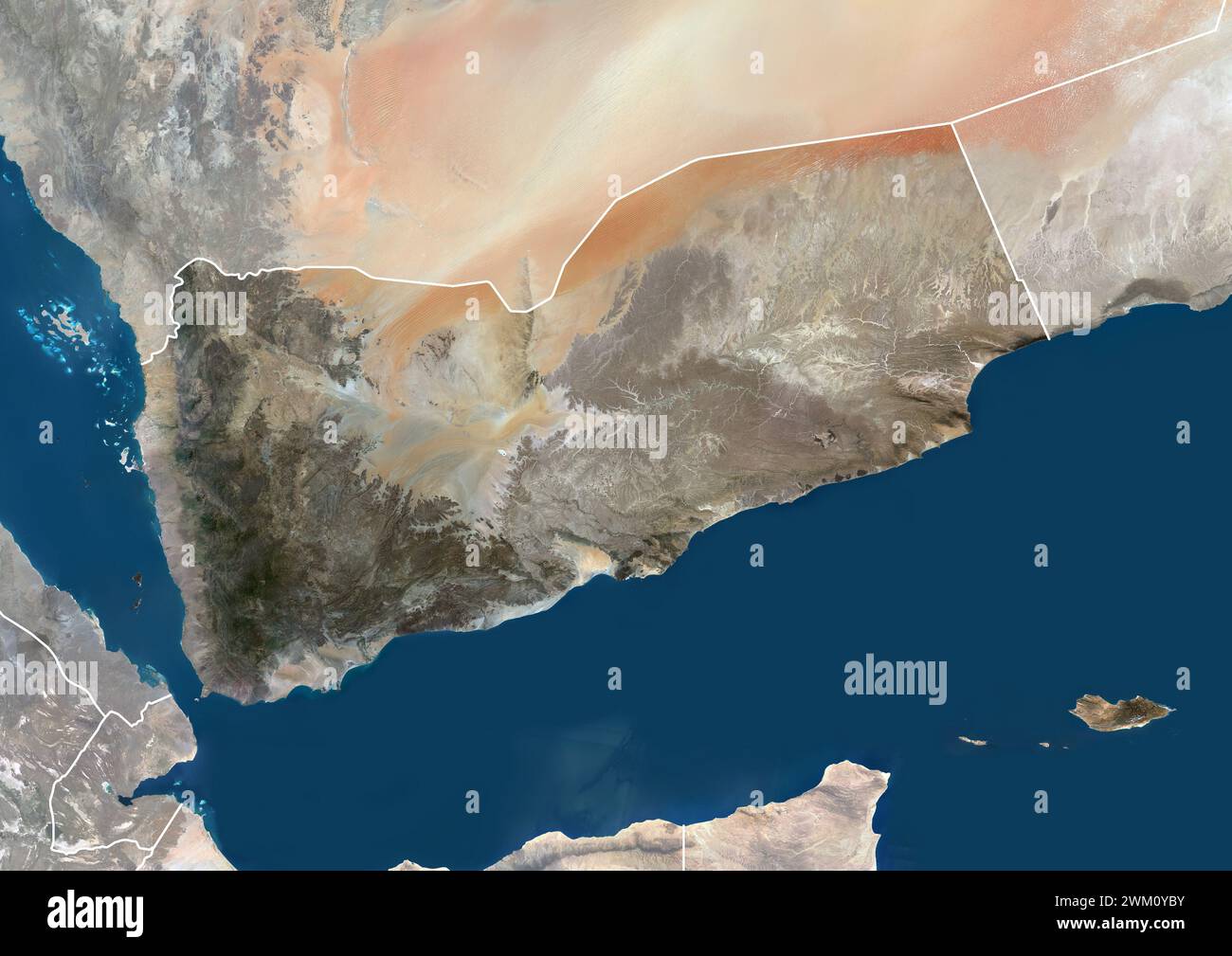 Color satellite image of Yemen, with borders and mask. Stock Photohttps://www.alamy.com/image-license-details/?v=1https://www.alamy.com/color-satellite-image-of-yemen-with-borders-and-mask-image597467135.html
RM2WM0YBY–Color satellite image of Yemen, with borders and mask.
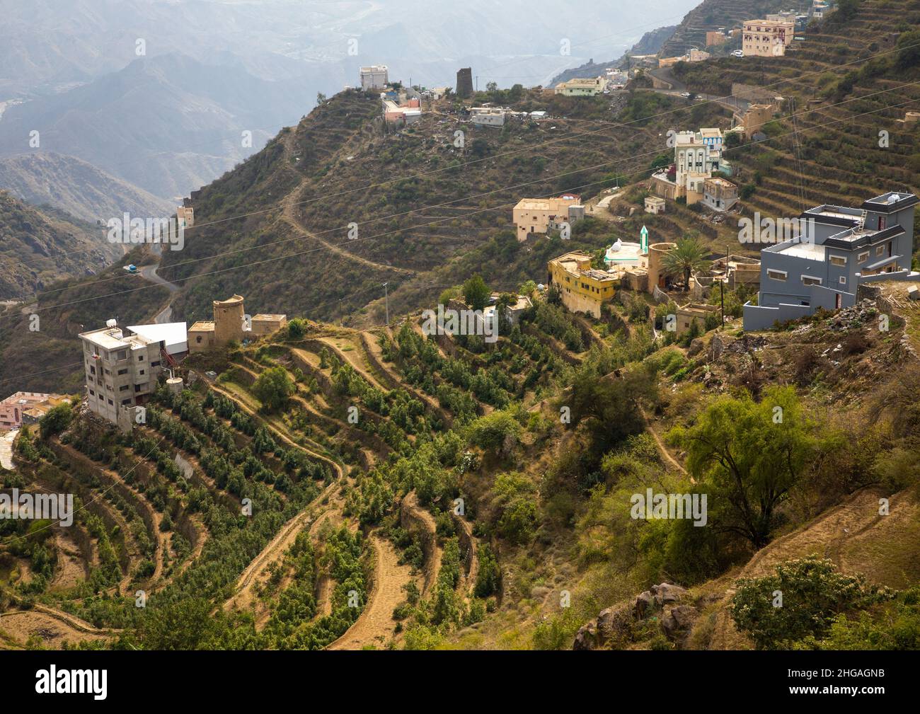 Village in the mountain near the Yemen border, Jizan Province, Faifa Mountains, Saudi Arabia Stock Photohttps://www.alamy.com/image-license-details/?v=1https://www.alamy.com/village-in-the-mountain-near-the-yemen-border-jizan-province-faifa-mountains-saudi-arabia-image457536727.html
RM2HGAGNB–Village in the mountain near the Yemen border, Jizan Province, Faifa Mountains, Saudi Arabia
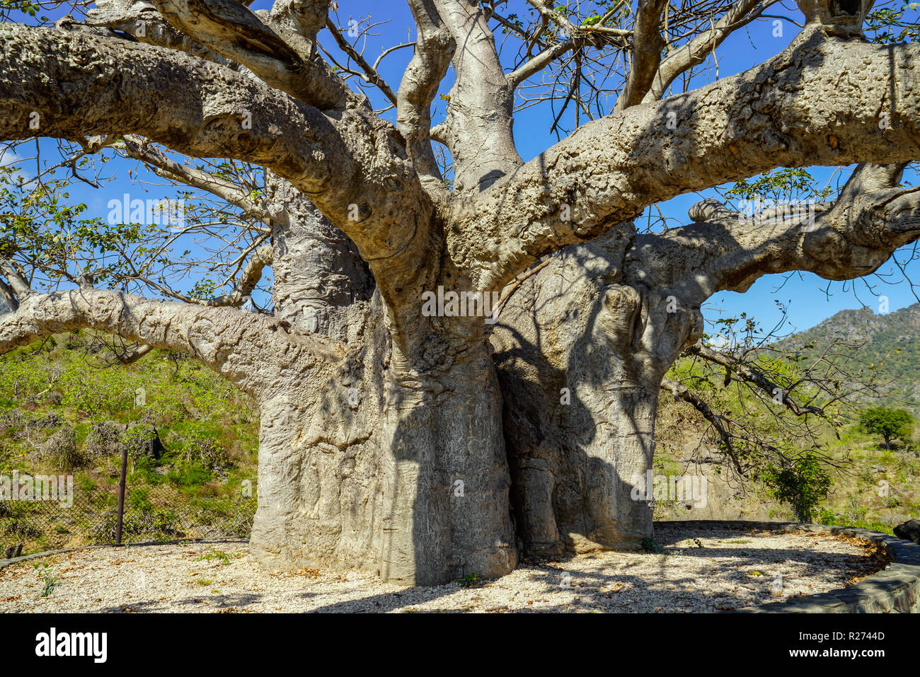 Baobab tre in Dalkut village near the Yemen border, must be the oldest and biggest baobab tree in Oman. Stock Photohttps://www.alamy.com/image-license-details/?v=1https://www.alamy.com/baobab-tre-in-dalkut-village-near-the-yemen-border-must-be-the-oldest-and-biggest-baobab-tree-in-oman-image225121021.html
RFR2744D–Baobab tre in Dalkut village near the Yemen border, must be the oldest and biggest baobab tree in Oman.
 Flag of Yemen - Refugees near barbed wire fence. Migrants migrates to other countries. Stock Photohttps://www.alamy.com/image-license-details/?v=1https://www.alamy.com/flag-of-yemen-refugees-near-barbed-wire-fence-migrants-migrates-to-other-countries-image477654121.html
RF2JN30KN–Flag of Yemen - Refugees near barbed wire fence. Migrants migrates to other countries.
 Woman herding sheep and cows near the Yemen border, Salalah, Oman Stock Photohttps://www.alamy.com/image-license-details/?v=1https://www.alamy.com/woman-herding-sheep-and-cows-near-the-yemen-border-salalah-oman-image5909885.html
RMA1WYKE–Woman herding sheep and cows near the Yemen border, Salalah, Oman
 Yemen logo. Badge of the country. Layered circular sign around Yemen border shape. Appealing vector illustration. Stock Vectorhttps://www.alamy.com/image-license-details/?v=1https://www.alamy.com/yemen-logo-badge-of-the-country-layered-circular-sign-around-yemen-border-shape-appealing-vector-illustration-image552012617.html
RF2R229M9–Yemen logo. Badge of the country. Layered circular sign around Yemen border shape. Appealing vector illustration.
 A 3D illustration of the map of Yemen with green grass and rock isolated on a white background Stock Photohttps://www.alamy.com/image-license-details/?v=1https://www.alamy.com/a-3d-illustration-of-the-map-of-yemen-with-green-grass-and-rock-isolated-on-a-white-background-image475664085.html
RF2JHTAB1–A 3D illustration of the map of Yemen with green grass and rock isolated on a white background
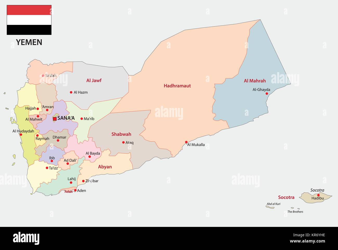 yemen administrative and political map with flag Stock Vectorhttps://www.alamy.com/image-license-details/?v=1https://www.alamy.com/stock-image-yemen-administrative-and-political-map-with-flag-169183770.html
RFKR6YHE–yemen administrative and political map with flag
 Waving ribbon or banner with flag of Yemen Stock Vectorhttps://www.alamy.com/image-license-details/?v=1https://www.alamy.com/waving-ribbon-or-banner-with-flag-of-yemen-image370260351.html
RF2CEAPRY–Waving ribbon or banner with flag of Yemen
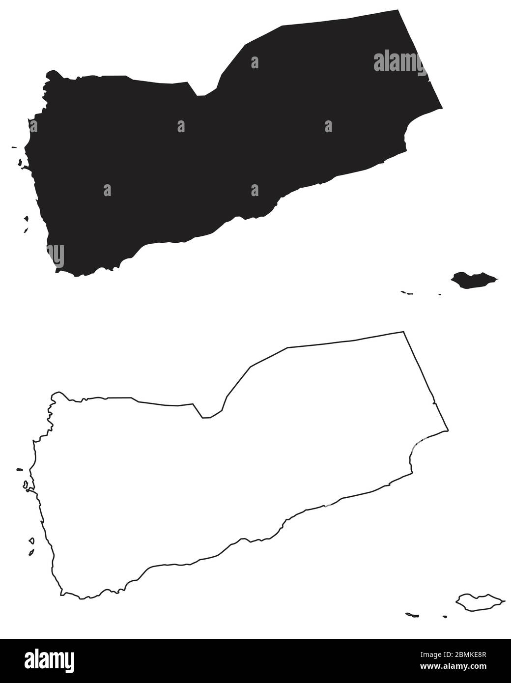 Yemen Country Map. Black silhouette and outline isolated on white background. EPS Vector Stock Vectorhttps://www.alamy.com/image-license-details/?v=1https://www.alamy.com/yemen-country-map-black-silhouette-and-outline-isolated-on-white-background-eps-vector-image356928791.html
RF2BMKE8R–Yemen Country Map. Black silhouette and outline isolated on white background. EPS Vector
 Barbed wire fence and flag of Yemen - border concept - 3d illustration Stock Photohttps://www.alamy.com/image-license-details/?v=1https://www.alamy.com/barbed-wire-fence-and-flag-of-yemen-border-concept-3d-illustration-image612076873.html
RF2XFPE89–Barbed wire fence and flag of Yemen - border concept - 3d illustration
 Shape of a high resolution satellite map of the Yemen, with distance scale and map border coordinates, isolated on black Stock Photohttps://www.alamy.com/image-license-details/?v=1https://www.alamy.com/shape-of-a-high-resolution-satellite-map-of-the-yemen-with-distance-scale-and-map-border-coordinates-isolated-on-black-image591747706.html
RF2WAMC6J–Shape of a high resolution satellite map of the Yemen, with distance scale and map border coordinates, isolated on black
 Yemen map. National map of the world. Gray colored countries map series. Stock Vectorhttps://www.alamy.com/image-license-details/?v=1https://www.alamy.com/yemen-map-national-map-of-the-world-gray-colored-countries-map-series-image371105508.html
RF2CFN8T4–Yemen map. National map of the world. Gray colored countries map series.
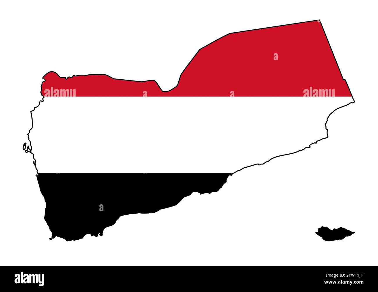 Map of Yemen with flag inserted Stock Photohttps://www.alamy.com/image-license-details/?v=1https://www.alamy.com/map-of-yemen-with-flag-inserted-image635488185.html
RF2YWTYJH–Map of Yemen with flag inserted
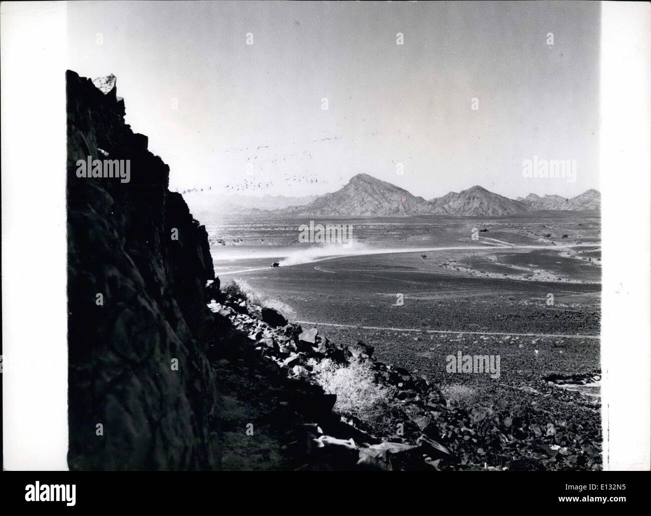 Feb. 26, 2012 - Yemen-Aden Border.: The lonely ambush country of the Aden protectorate showing they Yemen border in the background. Stock Photohttps://www.alamy.com/image-license-details/?v=1https://www.alamy.com/feb-26-2012-yemen-aden-border-the-lonely-ambush-country-of-the-aden-image69524145.html
RME132N5–Feb. 26, 2012 - Yemen-Aden Border.: The lonely ambush country of the Aden protectorate showing they Yemen border in the background.
RF2WECYEH–Yemen map icon vector illustration design
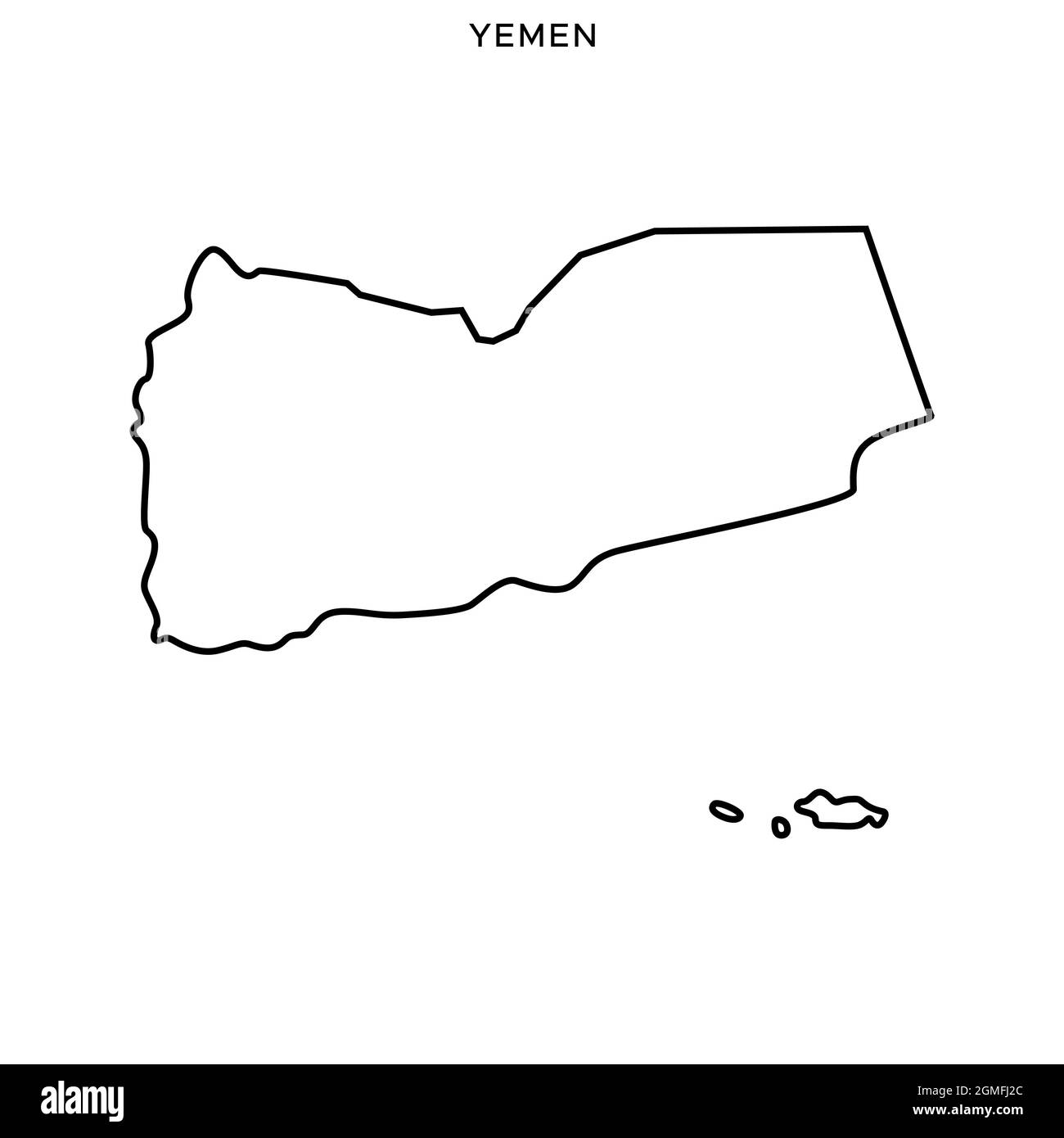 Line map of Yemen vector stock illustration design template. Editable stroke. Vector eps 10. Stock Vectorhttps://www.alamy.com/image-license-details/?v=1https://www.alamy.com/line-map-of-yemen-vector-stock-illustration-design-template-editable-stroke-vector-eps-10-image442895780.html
RF2GMFJ2C–Line map of Yemen vector stock illustration design template. Editable stroke. Vector eps 10.
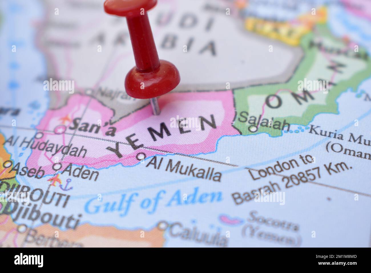 Red Push Pin Pointing on Location of Yemen World Map Close-Up View Stock Photograph Stock Photohttps://www.alamy.com/image-license-details/?v=1https://www.alamy.com/red-push-pin-pointing-on-location-of-yemen-world-map-close-up-view-stock-photograph-image500161213.html
RF2M1M8MD–Red Push Pin Pointing on Location of Yemen World Map Close-Up View Stock Photograph
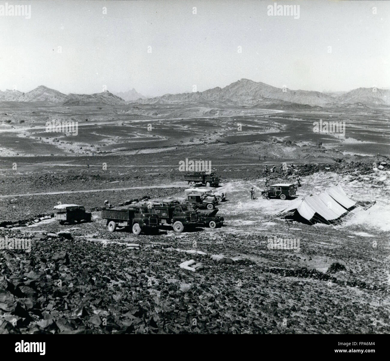 1962 - Yemen -Aden border : Typical country on the Aden Yemen Border, with a camp of the Aden Government Guards in the Foreground. © Keystone Pictures USA/ZUMAPRESS.com/Alamy Live News Stock Photohttps://www.alamy.com/image-license-details/?v=1https://www.alamy.com/stock-photo-1962-yemen-aden-border-typical-country-on-the-aden-yemen-border-with-99799060.html
RMFPA6M4–1962 - Yemen -Aden border : Typical country on the Aden Yemen Border, with a camp of the Aden Government Guards in the Foreground. © Keystone Pictures USA/ZUMAPRESS.com/Alamy Live News
 Color satellite image of Yemen and neighbouring countries. Stock Photohttps://www.alamy.com/image-license-details/?v=1https://www.alamy.com/color-satellite-image-of-yemen-and-neighbouring-countries-image597467143.html
RM2WM0YC7–Color satellite image of Yemen and neighbouring countries.
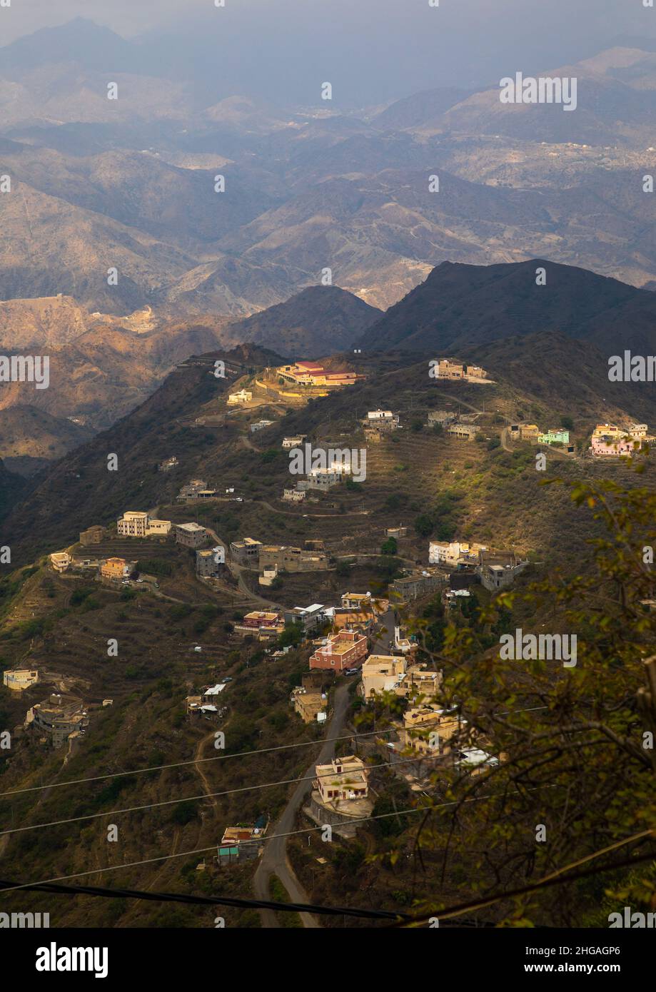 Village in the mountain near the Yemen border, Jizan Province, Faifa Mountains, Saudi Arabia Stock Photohttps://www.alamy.com/image-license-details/?v=1https://www.alamy.com/village-in-the-mountain-near-the-yemen-border-jizan-province-faifa-mountains-saudi-arabia-image457536750.html
RM2HGAGP6–Village in the mountain near the Yemen border, Jizan Province, Faifa Mountains, Saudi Arabia
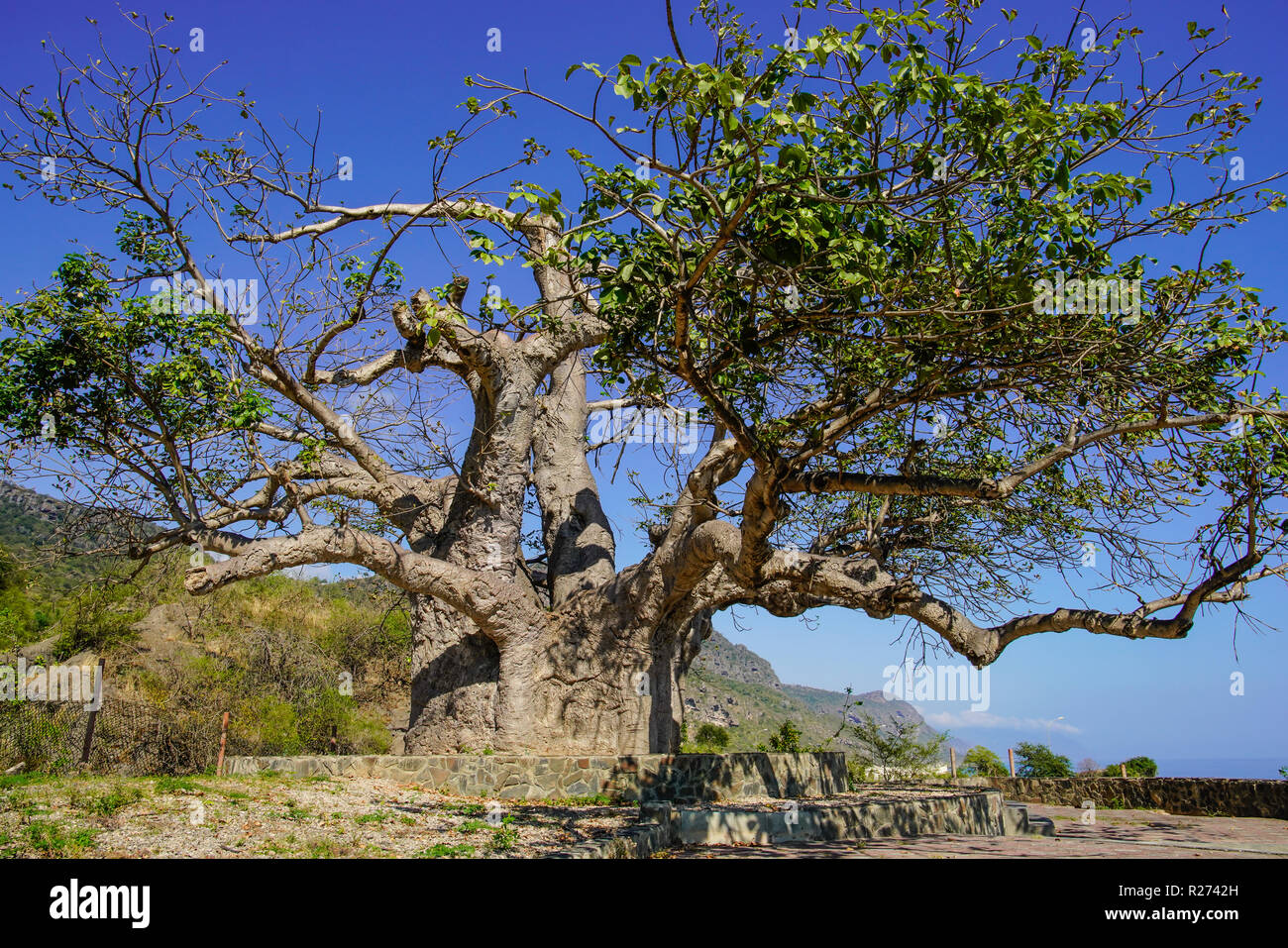 Baobab tre in Dalkut village near the Yemen border, must be the oldest and biggest baobab tree in Oman. Stock Photohttps://www.alamy.com/image-license-details/?v=1https://www.alamy.com/baobab-tre-in-dalkut-village-near-the-yemen-border-must-be-the-oldest-and-biggest-baobab-tree-in-oman-image225120969.html
RFR2742H–Baobab tre in Dalkut village near the Yemen border, must be the oldest and biggest baobab tree in Oman.
 Yemen - solid black outline border map of country area. Simple flat vector illustration. Stock Vectorhttps://www.alamy.com/image-license-details/?v=1https://www.alamy.com/yemen-solid-black-outline-border-map-of-country-area-simple-flat-vector-illustration-image373139179.html
RF2CK1XR7–Yemen - solid black outline border map of country area. Simple flat vector illustration.
 Bab el Mandeb Strait region political map. English labeling. Connects Red Sea and Gulf of Aden between Yemen, Djibouti and Eritrea. Illustration. Stock Photohttps://www.alamy.com/image-license-details/?v=1https://www.alamy.com/bab-el-mandeb-strait-region-political-map-english-labeling-connects-image153467023.html
RFJWK0N3–Bab el Mandeb Strait region political map. English labeling. Connects Red Sea and Gulf of Aden between Yemen, Djibouti and Eritrea. Illustration.
 Yemen shape whith country names word cloud in multiple languages. Yemen border map on astonishing triangles scattered around. Attractive vector illust Stock Vectorhttps://www.alamy.com/image-license-details/?v=1https://www.alamy.com/yemen-shape-whith-country-names-word-cloud-in-multiple-languages-yemen-border-map-on-astonishing-triangles-scattered-around-attractive-vector-illust-image555107655.html
RF2R739DB–Yemen shape whith country names word cloud in multiple languages. Yemen border map on astonishing triangles scattered around. Attractive vector illust
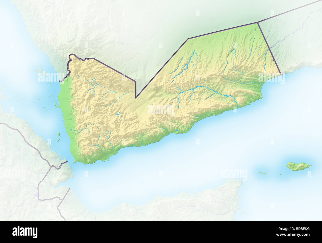 Yemen, shaded relief map. Stock Photohttps://www.alamy.com/image-license-details/?v=1https://www.alamy.com/stock-photo-yemen-shaded-relief-map-25453892.html
RFBDBEKG–Yemen, shaded relief map.
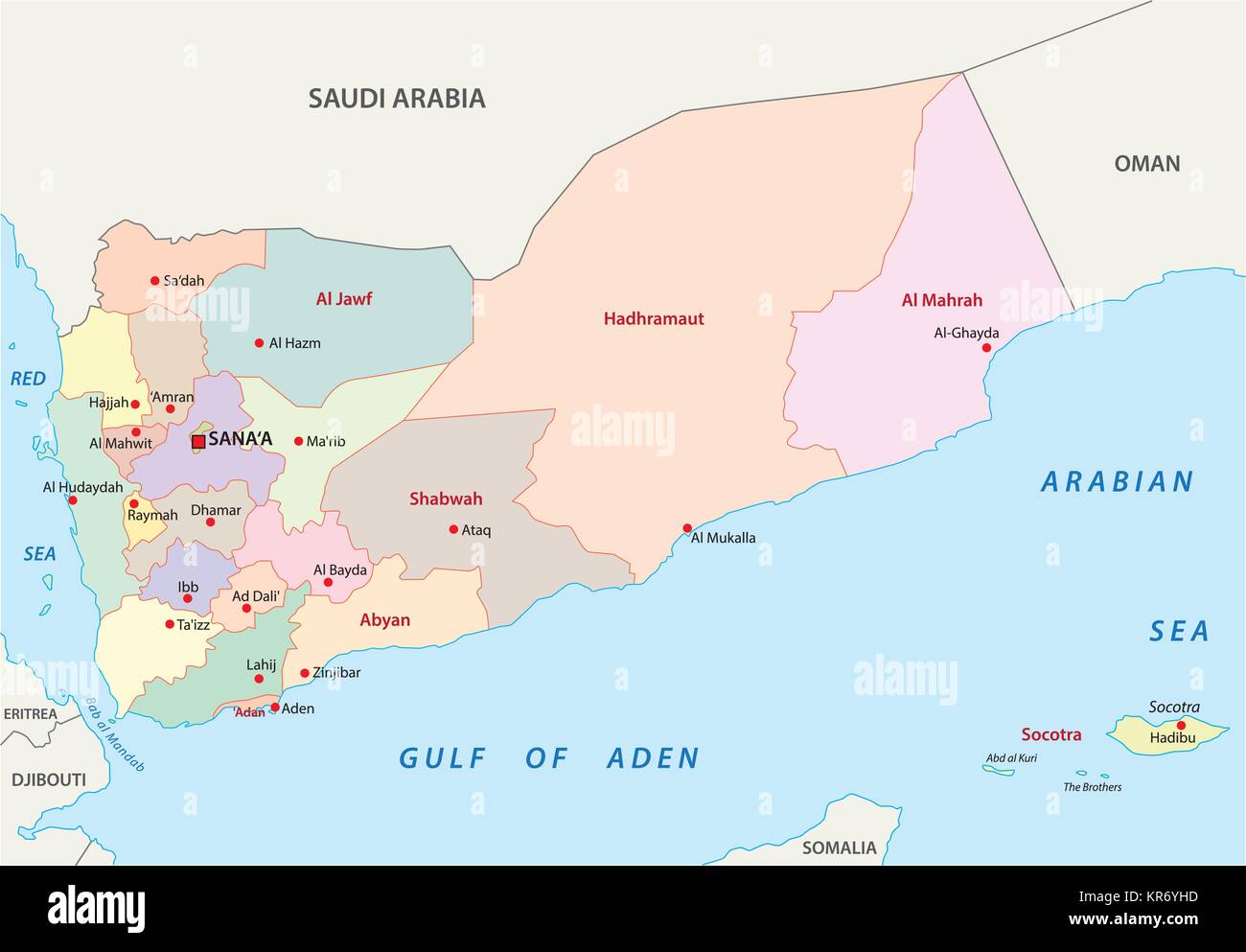 yemen administrative and political vector map Stock Vectorhttps://www.alamy.com/image-license-details/?v=1https://www.alamy.com/stock-image-yemen-administrative-and-political-vector-map-169183769.html
RFKR6YHD–yemen administrative and political vector map
 flag of Yemen or Yemeni banner on wooden background Stock Photohttps://www.alamy.com/image-license-details/?v=1https://www.alamy.com/stock-photo-flag-of-yemen-or-yemeni-banner-on-wooden-background-117182866.html
RFGPJ3XA–flag of Yemen or Yemeni banner on wooden background
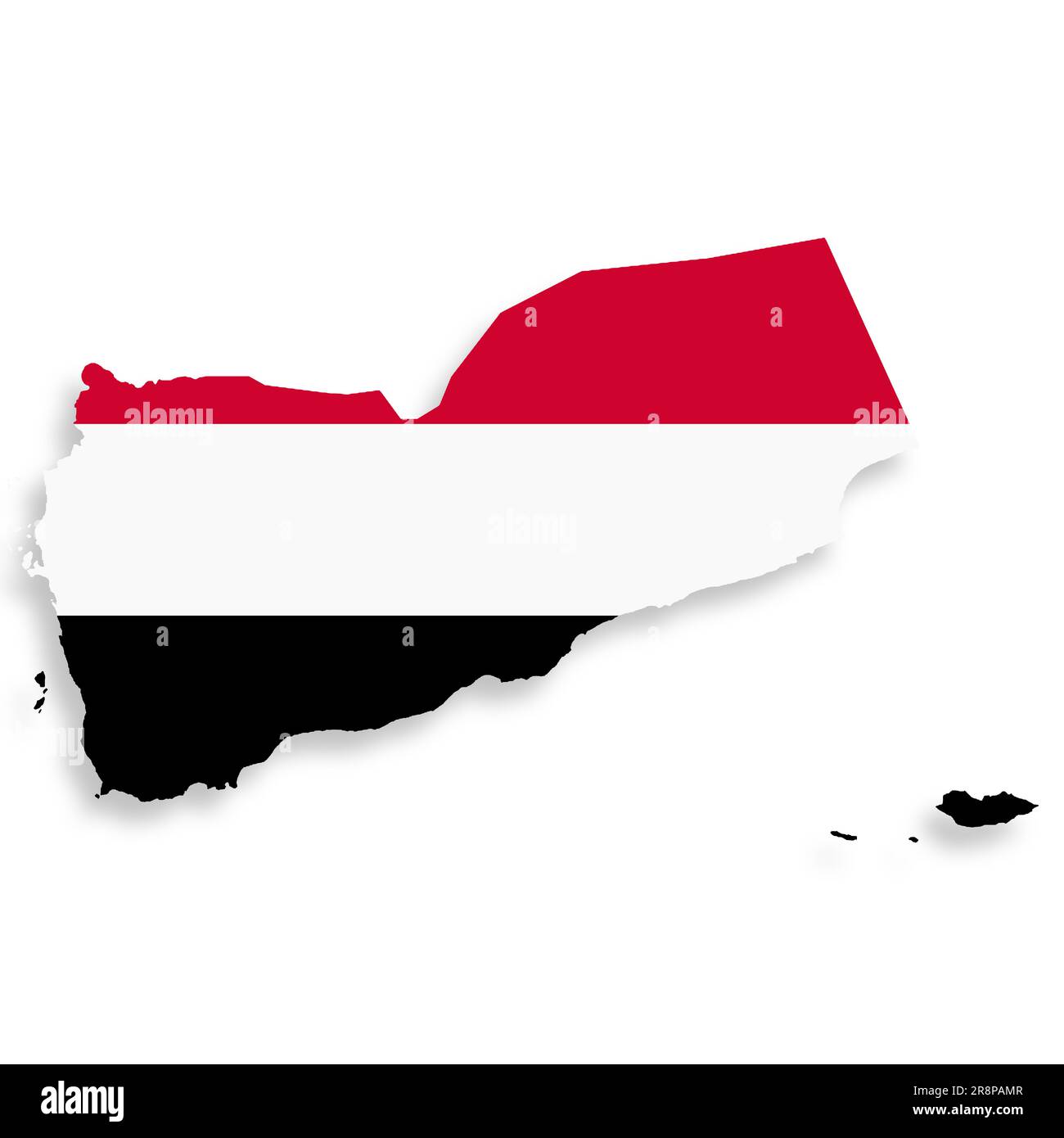 Yemen flag map with clipping path 3d illustration Stock Photohttps://www.alamy.com/image-license-details/?v=1https://www.alamy.com/yemen-flag-map-with-clipping-path-3d-illustration-image556140391.html
RF2R8PAMR–Yemen flag map with clipping path 3d illustration
 flag of Yemen painted on brick wall Stock Photohttps://www.alamy.com/image-license-details/?v=1https://www.alamy.com/flag-of-yemen-painted-on-brick-wall-image217277790.html
RMPHDT12–flag of Yemen painted on brick wall
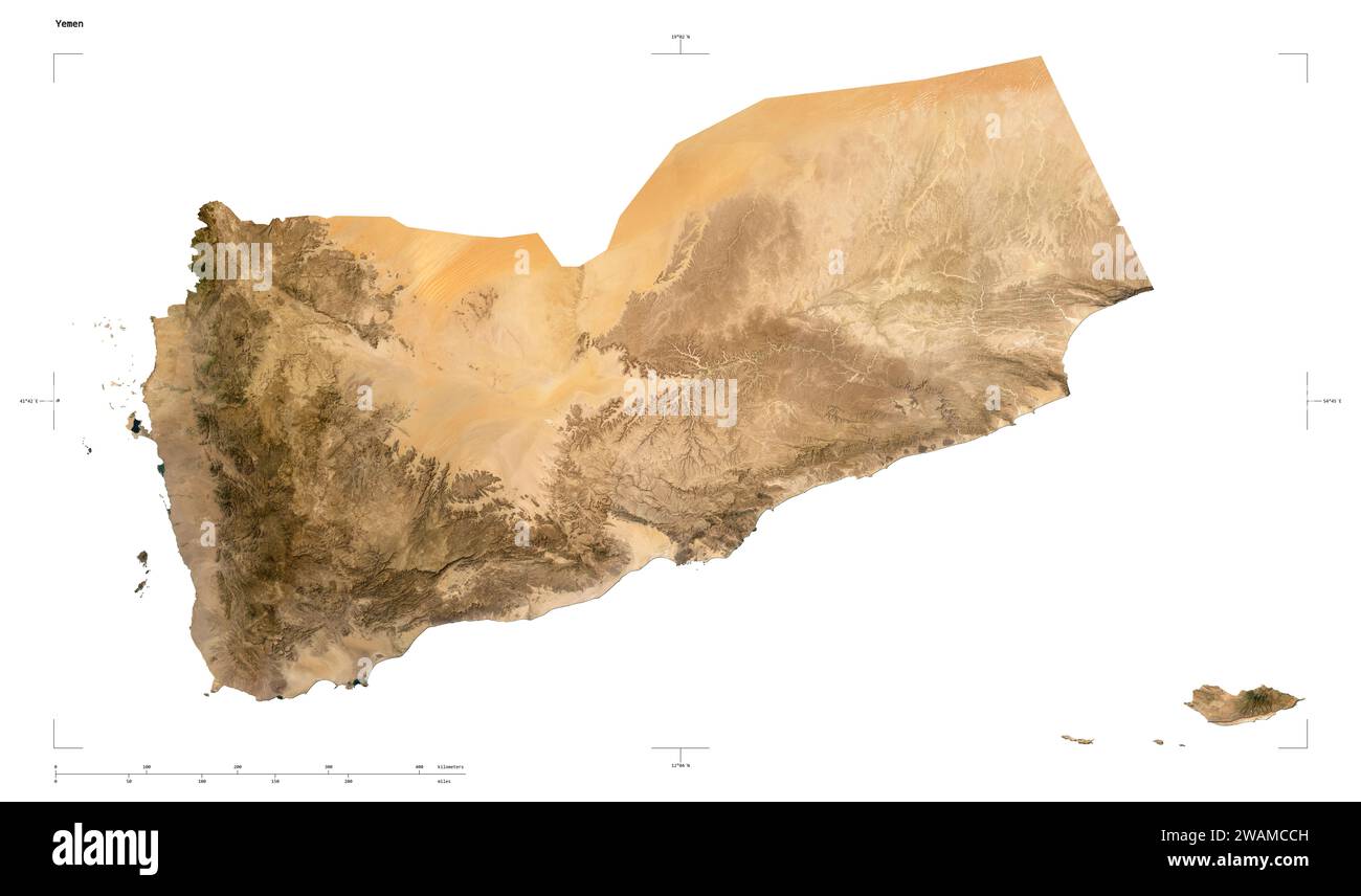 Shape of a low resolution satellite map of the Yemen, with distance scale and map border coordinates, isolated on white Stock Photohttps://www.alamy.com/image-license-details/?v=1https://www.alamy.com/shape-of-a-low-resolution-satellite-map-of-the-yemen-with-distance-scale-and-map-border-coordinates-isolated-on-white-image591747873.html
RF2WAMCCH–Shape of a low resolution satellite map of the Yemen, with distance scale and map border coordinates, isolated on white
 Yemen map with flag inside Stock Vectorhttps://www.alamy.com/image-license-details/?v=1https://www.alamy.com/stock-photo-yemen-map-with-flag-inside-116351382.html
RFGN87AE–Yemen map with flag inside
 flag of South Yemen painted on brick wall Stock Photohttps://www.alamy.com/image-license-details/?v=1https://www.alamy.com/stock-photo-flag-of-south-yemen-painted-on-brick-wall-84401318.html
RFEW8PMP–flag of South Yemen painted on brick wall
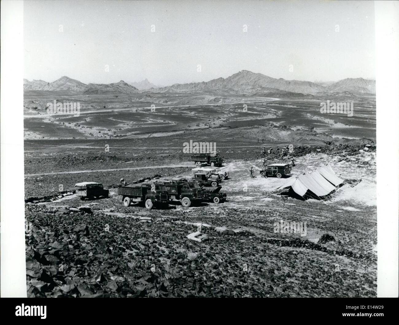 Apr. 18, 2012 - Yemen -Aden border : Typical country on the Aden Yemen Border, with a camp of the Aden Government Guards in the Stock Photohttps://www.alamy.com/image-license-details/?v=1https://www.alamy.com/apr-18-2012-yemen-aden-border-typical-country-on-the-aden-yemen-border-image69563601.html
RME14W29–Apr. 18, 2012 - Yemen -Aden border : Typical country on the Aden Yemen Border, with a camp of the Aden Government Guards in the
RF2WECYEE–Yemen map icon vector illustration design
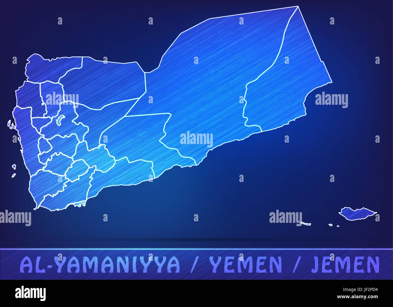 card, yemen, land, realty, ground, atlas, map of the world, map, model, design, Stock Vectorhttps://www.alamy.com/image-license-details/?v=1https://www.alamy.com/stock-photo-card-yemen-land-realty-ground-atlas-map-of-the-world-map-model-design-146964304.html
RFJF2PD4–card, yemen, land, realty, ground, atlas, map of the world, map, model, design,
 Yemen outline map set Stock Vectorhttps://www.alamy.com/image-license-details/?v=1https://www.alamy.com/stock-image-yemen-outline-map-set-163838936.html
RFKEFE6G–Yemen outline map set
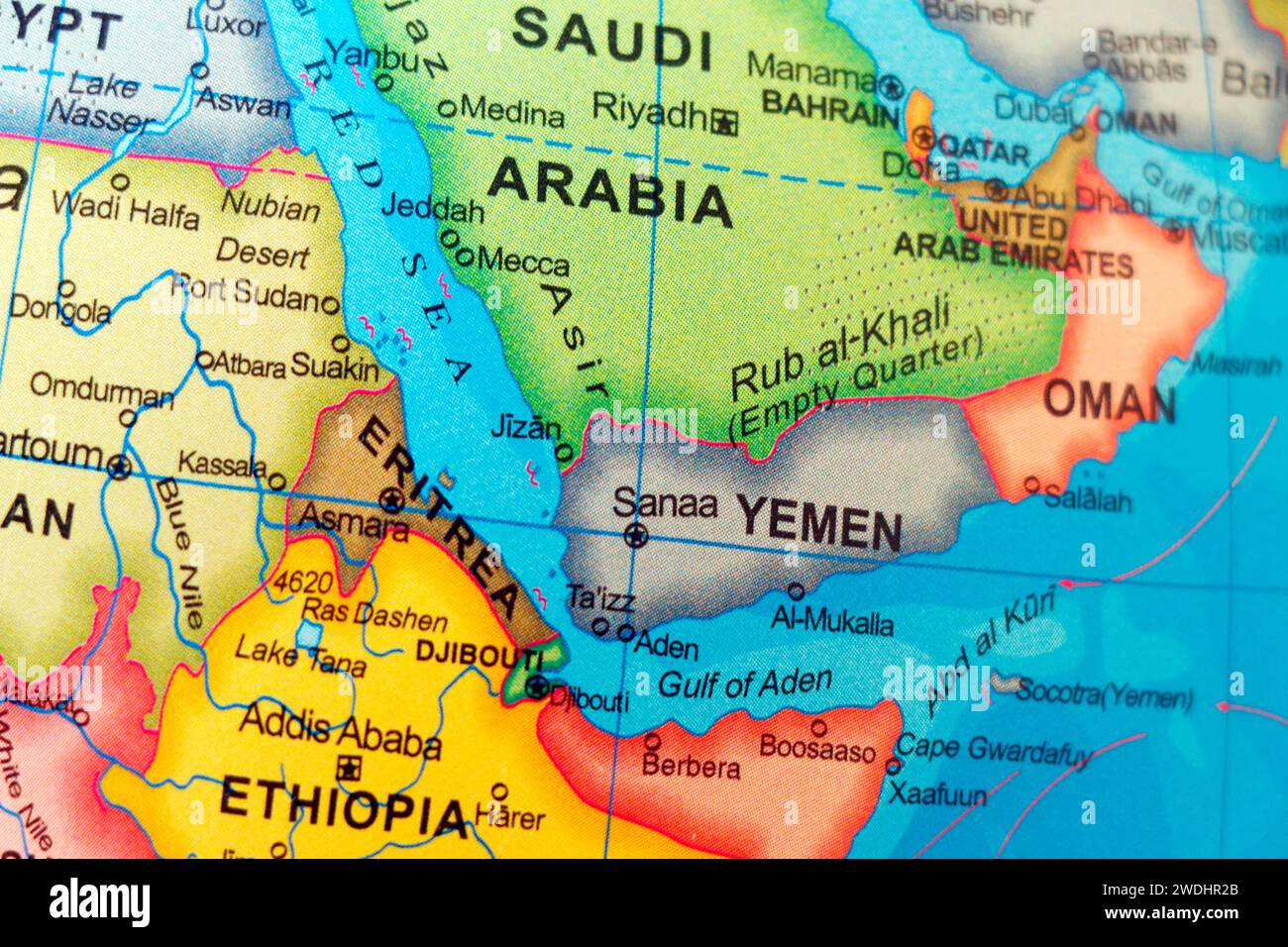 world map of saudi arabia and yemen border Stock Photohttps://www.alamy.com/image-license-details/?v=1https://www.alamy.com/world-map-of-saudi-arabia-and-yemen-border-image593534323.html
RF2WDHR2B–world map of saudi arabia and yemen border
 Color satellite image of Yemen and neighbouring countries, with borders. Stock Photohttps://www.alamy.com/image-license-details/?v=1https://www.alamy.com/color-satellite-image-of-yemen-and-neighbouring-countries-with-borders-image597467144.html
RM2WM0YC8–Color satellite image of Yemen and neighbouring countries, with borders.
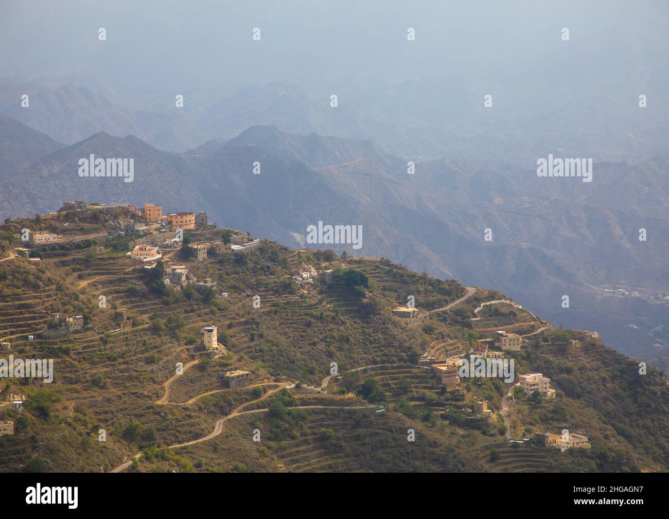 Village in the mountain near the Yemen border, Jizan Province, Faifa Mountains, Saudi Arabia Stock Photohttps://www.alamy.com/image-license-details/?v=1https://www.alamy.com/village-in-the-mountain-near-the-yemen-border-jizan-province-faifa-mountains-saudi-arabia-image457536723.html
RM2HGAGN7–Village in the mountain near the Yemen border, Jizan Province, Faifa Mountains, Saudi Arabia
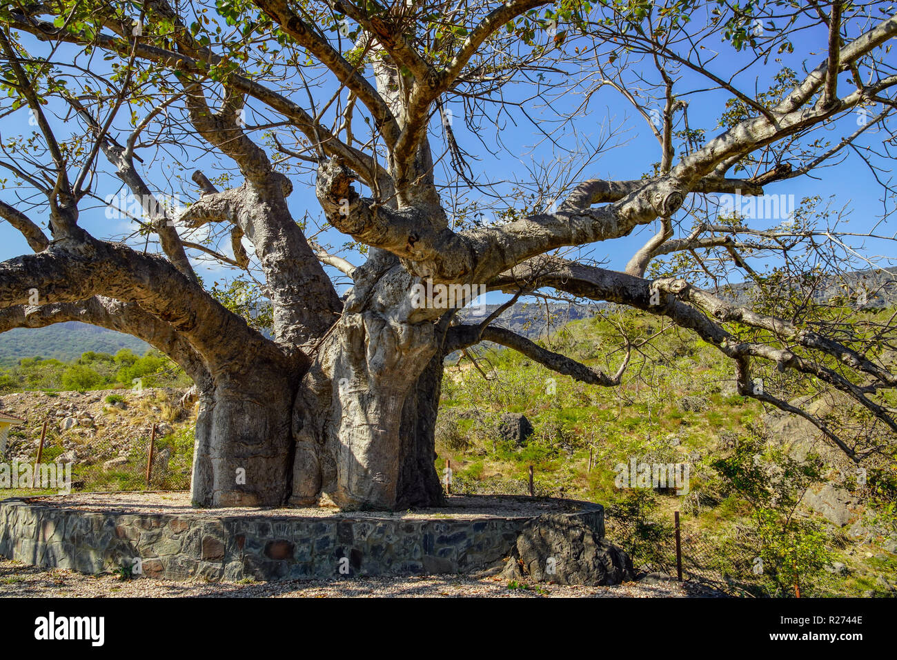 Baobab tre in Dalkut village near the Yemen border, must be the oldest and biggest baobab tree in Oman. Stock Photohttps://www.alamy.com/image-license-details/?v=1https://www.alamy.com/baobab-tre-in-dalkut-village-near-the-yemen-border-must-be-the-oldest-and-biggest-baobab-tree-in-oman-image225121022.html
RFR2744E–Baobab tre in Dalkut village near the Yemen border, must be the oldest and biggest baobab tree in Oman.
 Yemen - solid black outline border map of country area. Simple flat vector illustration. Stock Vectorhttps://www.alamy.com/image-license-details/?v=1https://www.alamy.com/yemen-solid-black-outline-border-map-of-country-area-simple-flat-vector-illustration-image636317123.html
RF2YY6MYF–Yemen - solid black outline border map of country area. Simple flat vector illustration.
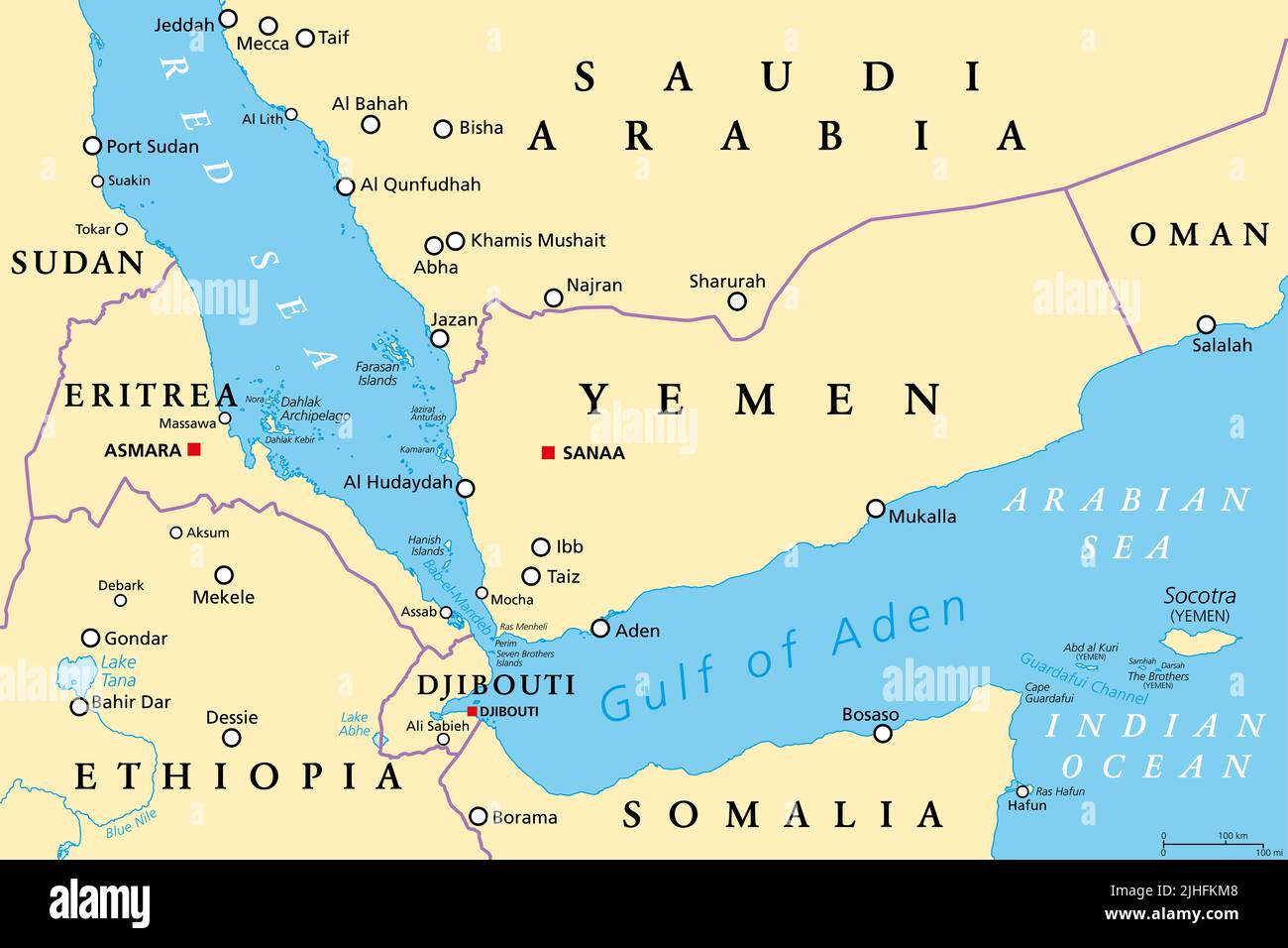 Gulf of Aden area, political map. Gulf between Yemen, Djibouti, the Guardafui Channel, Socotra and Somalia, connecting Arabian and Red Sea. Stock Photohttps://www.alamy.com/image-license-details/?v=1https://www.alamy.com/gulf-of-aden-area-political-map-gulf-between-yemen-djibouti-the-guardafui-channel-socotra-and-somalia-connecting-arabian-and-red-sea-image475473832.html
RF2JHFKM8–Gulf of Aden area, political map. Gulf between Yemen, Djibouti, the Guardafui Channel, Socotra and Somalia, connecting Arabian and Red Sea.
 Yemen Map black and white illustration Stock Vectorhttps://www.alamy.com/image-license-details/?v=1https://www.alamy.com/stock-photo-yemen-map-black-and-white-illustration-128688888.html
RFHDA7YM–Yemen Map black and white illustration
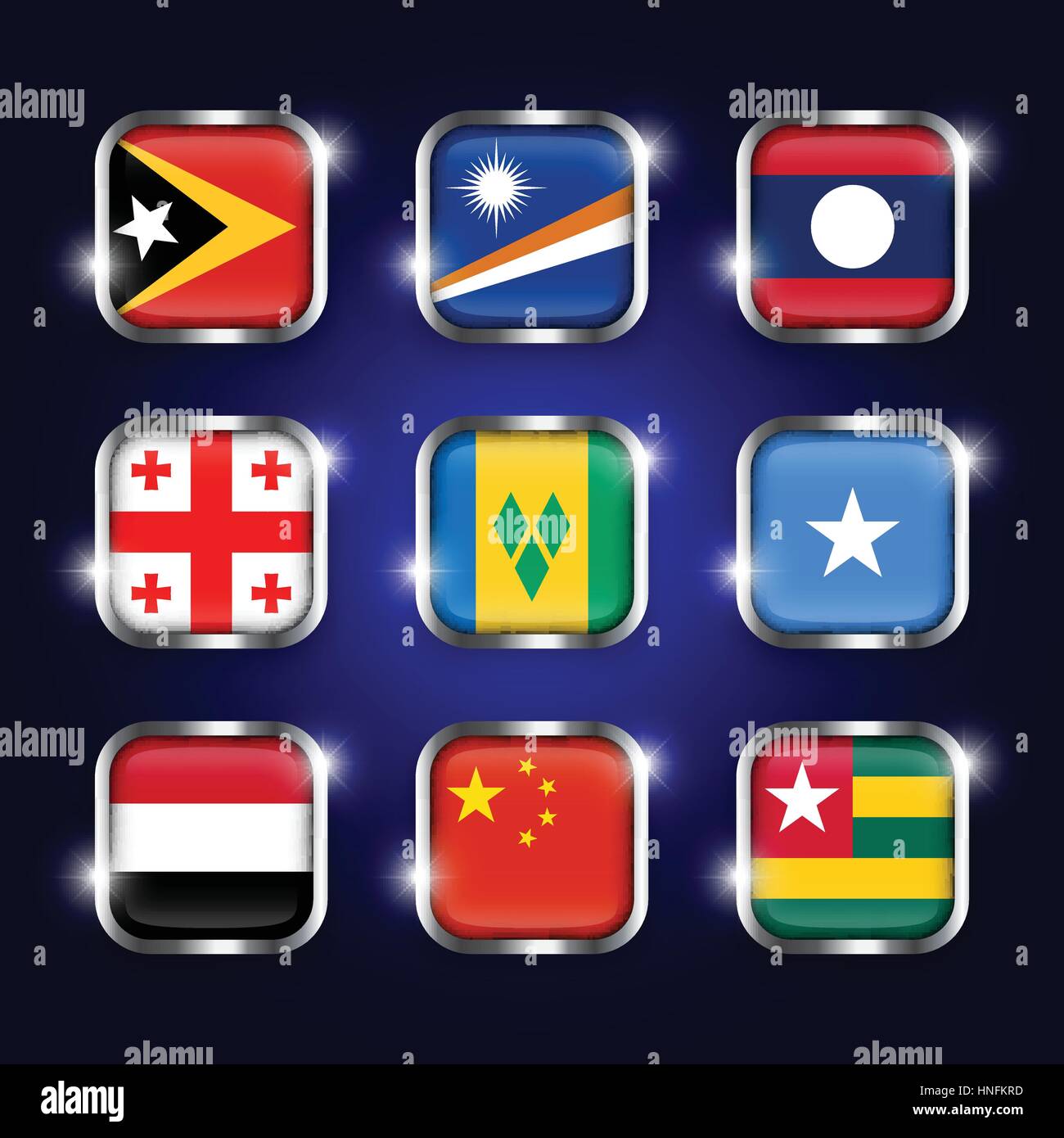 Set of world flags quadrangular glass buttons with steel border and twinkle ( East Timor . Marshall Islands . Laos . Georgia . Saint Vincent and the G Stock Vectorhttps://www.alamy.com/image-license-details/?v=1https://www.alamy.com/stock-photo-set-of-world-flags-quadrangular-glass-buttons-with-steel-border-and-133725185.html
RFHNFKRD–Set of world flags quadrangular glass buttons with steel border and twinkle ( East Timor . Marshall Islands . Laos . Georgia . Saint Vincent and the G
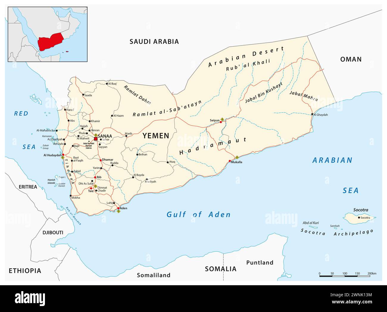 Detailed vector road map of the Middle Eastern state of Yemen Stock Photohttps://www.alamy.com/image-license-details/?v=1https://www.alamy.com/detailed-vector-road-map-of-the-middle-eastern-state-of-yemen-image598478264.html
RF2WNK13M–Detailed vector road map of the Middle Eastern state of Yemen
 Destruction of more than five thousand mines and explosive devices remnants of war in the Hajjah Governorate on the Stock Photohttps://www.alamy.com/image-license-details/?v=1https://www.alamy.com/destruction-of-more-than-five-thousand-mines-and-explosive-devices-remnants-of-war-in-the-hajjah-governorate-on-the-image573167876.html
RF2T8E1D8–Destruction of more than five thousand mines and explosive devices remnants of war in the Hajjah Governorate on the
 Yemen map. gray country map and flag 3d illustration vector. Stock Vectorhttps://www.alamy.com/image-license-details/?v=1https://www.alamy.com/yemen-map-gray-country-map-and-flag-3d-illustration-vector-image417822084.html
RF2F7NC98–Yemen map. gray country map and flag 3d illustration vector.
 flag of South Yemen painted on brick wall Stock Photohttps://www.alamy.com/image-license-details/?v=1https://www.alamy.com/stock-photo-flag-of-south-yemen-painted-on-brick-wall-88612979.html
RFF44JN7–flag of South Yemen painted on brick wall
 Shape of a high resolution satellite map of the Yemen, with distance scale and map border coordinates, isolated on white Stock Photohttps://www.alamy.com/image-license-details/?v=1https://www.alamy.com/shape-of-a-high-resolution-satellite-map-of-the-yemen-with-distance-scale-and-map-border-coordinates-isolated-on-white-image591747887.html
RF2WAMCD3–Shape of a high resolution satellite map of the Yemen, with distance scale and map border coordinates, isolated on white
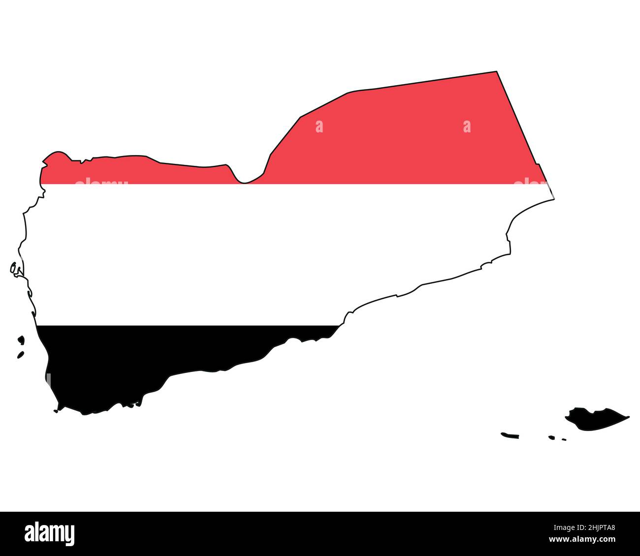 Yemen map with flag - outline of a state with a national flag Stock Vectorhttps://www.alamy.com/image-license-details/?v=1https://www.alamy.com/yemen-map-with-flag-outline-of-a-state-with-a-national-flag-image459035424.html
RF2HJPTA8–Yemen map with flag - outline of a state with a national flag
 flag of Yemen painted on brick wall Stock Photohttps://www.alamy.com/image-license-details/?v=1https://www.alamy.com/stock-photo-flag-of-yemen-painted-on-brick-wall-92998462.html
RFFB8CDJ–flag of Yemen painted on brick wall
 Apr. 18, 2012 - Yemen -Aden border : Sultans and Headmen watch the Aden Frontier hills as they are pounded by Mortar and Machine - Gunfire. Stock Photohttps://www.alamy.com/image-license-details/?v=1https://www.alamy.com/apr-18-2012-yemen-aden-border-sultans-and-headmen-watch-the-aden-frontier-image69563602.html
RME14W2A–Apr. 18, 2012 - Yemen -Aden border : Sultans and Headmen watch the Aden Frontier hills as they are pounded by Mortar and Machine - Gunfire.
RF2WECYET–Yemen map icon vector illustration design
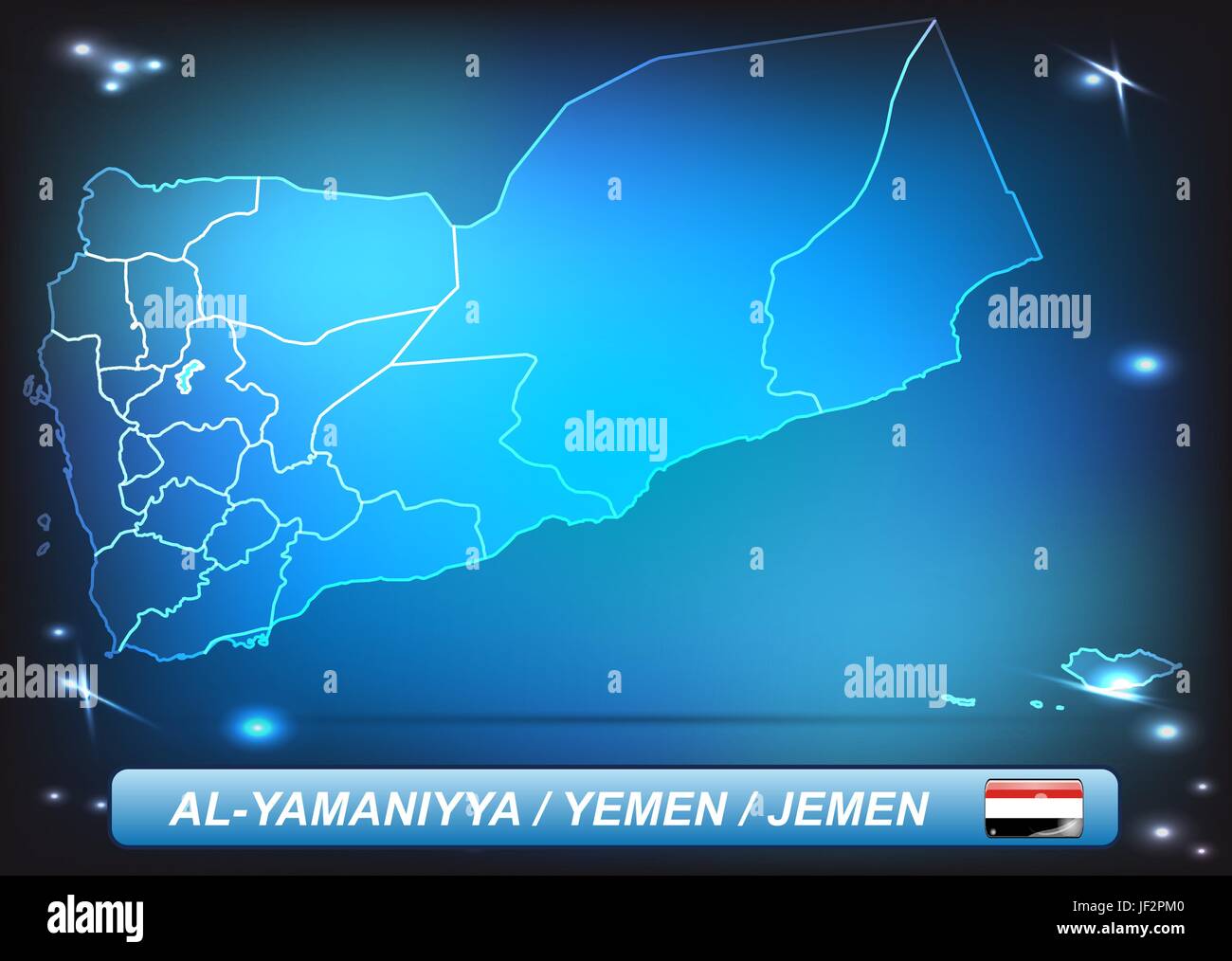 card, yemen, land, realty, ground, atlas, map of the world, map, shine, shines, Stock Vectorhttps://www.alamy.com/image-license-details/?v=1https://www.alamy.com/stock-photo-card-yemen-land-realty-ground-atlas-map-of-the-world-map-shine-shines-146964496.html
RFJF2PM0–card, yemen, land, realty, ground, atlas, map of the world, map, shine, shines,
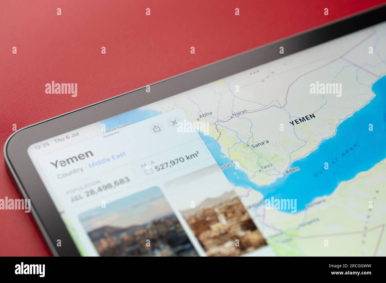 New York, USA - July 6, 2023: Yemen on online apple maps in screen of ipad tablet close up view Stock Photohttps://www.alamy.com/image-license-details/?v=1https://www.alamy.com/new-york-usa-july-6-2023-yemen-on-online-apple-maps-in-screen-of-ipad-tablet-close-up-view-image558472149.html
RF2RCGGWW–New York, USA - July 6, 2023: Yemen on online apple maps in screen of ipad tablet close up view
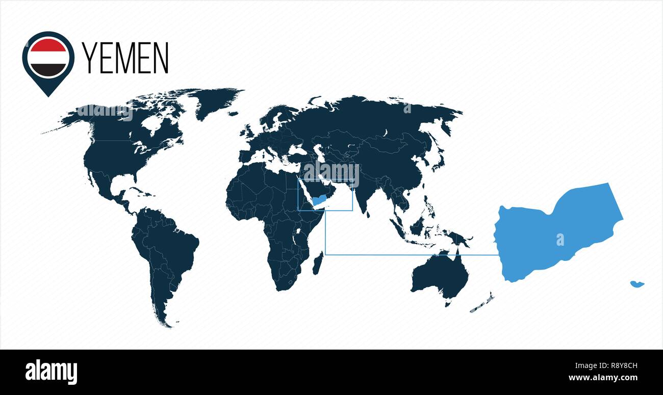 Yemen location on the world map for infographics. All world countries without names. Yemen round flag in the map pin or marker. vector illustration on Stock Vectorhttps://www.alamy.com/image-license-details/?v=1https://www.alamy.com/yemen-location-on-the-world-map-for-infographics-all-world-countries-without-names-yemen-round-flag-in-the-map-pin-or-marker-vector-illustration-on-image229251361.html
RFR8Y8CH–Yemen location on the world map for infographics. All world countries without names. Yemen round flag in the map pin or marker. vector illustration on
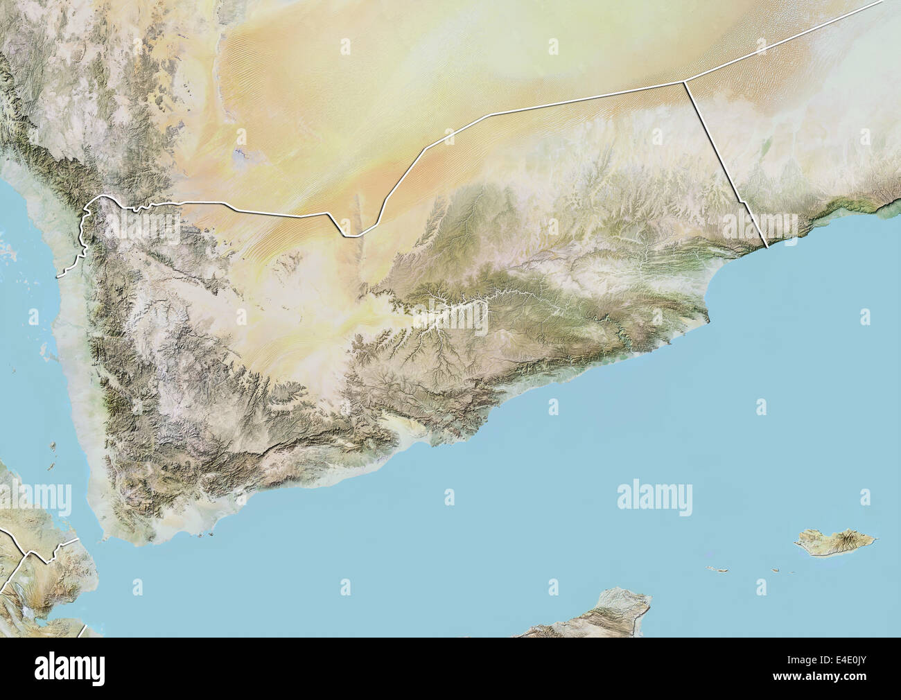 Yemen, Relief Map with Border Stock Photohttps://www.alamy.com/image-license-details/?v=1https://www.alamy.com/stock-photo-yemen-relief-map-with-border-71607955.html
RME4E0JY–Yemen, Relief Map with Border
 Village in the mountain near the Yemen border, Jizan Province, Faifa Mountains, Saudi Arabia Stock Photohttps://www.alamy.com/image-license-details/?v=1https://www.alamy.com/village-in-the-mountain-near-the-yemen-border-jizan-province-faifa-mountains-saudi-arabia-image457536624.html
RM2HGAGHM–Village in the mountain near the Yemen border, Jizan Province, Faifa Mountains, Saudi Arabia
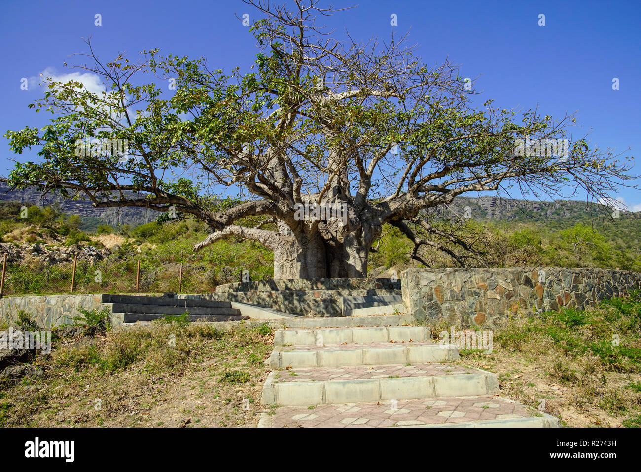 Baobab tre in Dalkut village near the Yemen border, must be the oldest and biggest baobab tree in Oman. Stock Photohttps://www.alamy.com/image-license-details/?v=1https://www.alamy.com/baobab-tre-in-dalkut-village-near-the-yemen-border-must-be-the-oldest-and-biggest-baobab-tree-in-oman-image225120997.html
RFR2743H–Baobab tre in Dalkut village near the Yemen border, must be the oldest and biggest baobab tree in Oman.
 Yemen - solid black outline border map of country area. Simple flat vector illustration. Stock Vectorhttps://www.alamy.com/image-license-details/?v=1https://www.alamy.com/yemen-solid-black-outline-border-map-of-country-area-simple-flat-vector-illustration-image373139222.html
RF2CK1XTP–Yemen - solid black outline border map of country area. Simple flat vector illustration.
 hotel in Yemen Stock Vectorhttps://www.alamy.com/image-license-details/?v=1https://www.alamy.com/hotel-in-yemen-image64493555.html
RFDMWX57–hotel in Yemen
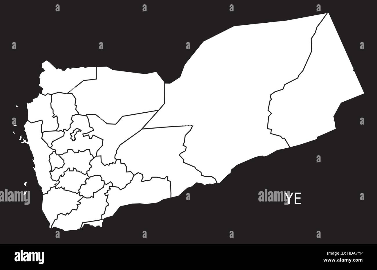 Yemen governorates Map black and white illustration Stock Vectorhttps://www.alamy.com/image-license-details/?v=1https://www.alamy.com/stock-photo-yemen-governorates-map-black-and-white-illustration-128688890.html
RFHDA7YP–Yemen governorates Map black and white illustration
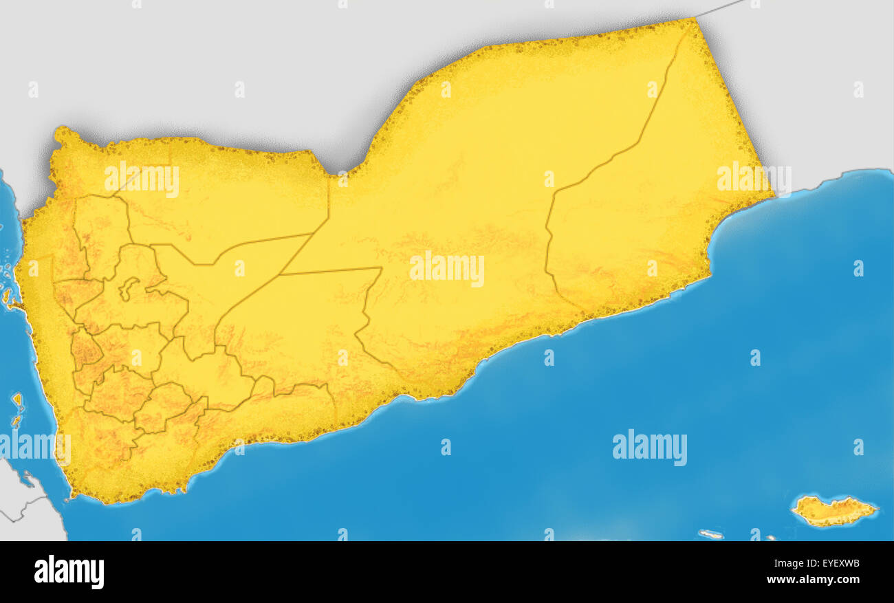 Republic of Yemen map Stock Photohttps://www.alamy.com/image-license-details/?v=1https://www.alamy.com/stock-photo-republic-of-yemen-map-85765607.html
RFEYEXWB–Republic of Yemen map
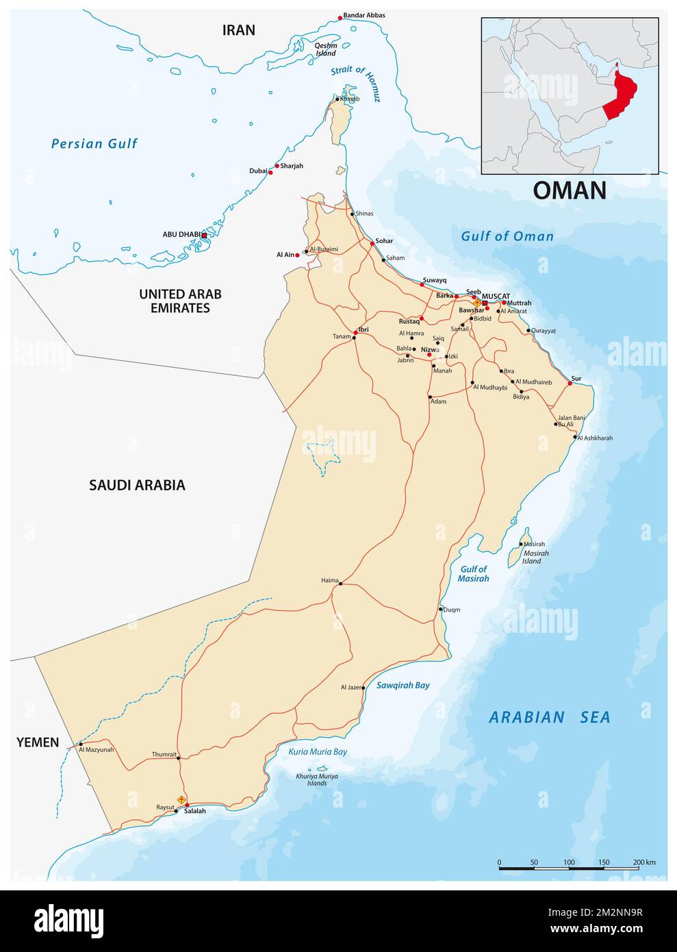 vector road map of the Sultanate of Oman Stock Photohttps://www.alamy.com/image-license-details/?v=1https://www.alamy.com/vector-road-map-of-the-sultanate-of-oman-image500807715.html
RF2M2NN9R–vector road map of the Sultanate of Oman
 Destruction of more than five thousand mines and explosive devices remnants of war in the Hajjah Governorate on the Stock Photohttps://www.alamy.com/image-license-details/?v=1https://www.alamy.com/destruction-of-more-than-five-thousand-mines-and-explosive-devices-remnants-of-war-in-the-hajjah-governorate-on-the-image573167984.html
RF2T8E1H4–Destruction of more than five thousand mines and explosive devices remnants of war in the Hajjah Governorate on the
 Yemen map. Colorful detailed vector map of the Middle East country. Stock Vectorhttps://www.alamy.com/image-license-details/?v=1https://www.alamy.com/yemen-map-colorful-detailed-vector-map-of-the-middle-east-country-image371589082.html
RF2CGF9JJ–Yemen map. Colorful detailed vector map of the Middle East country.
 flag of Yemen painted on wooden frame Stock Photohttps://www.alamy.com/image-license-details/?v=1https://www.alamy.com/stock-photo-flag-of-yemen-painted-on-wooden-frame-71908675.html
RFE4YM6Y–flag of Yemen painted on wooden frame
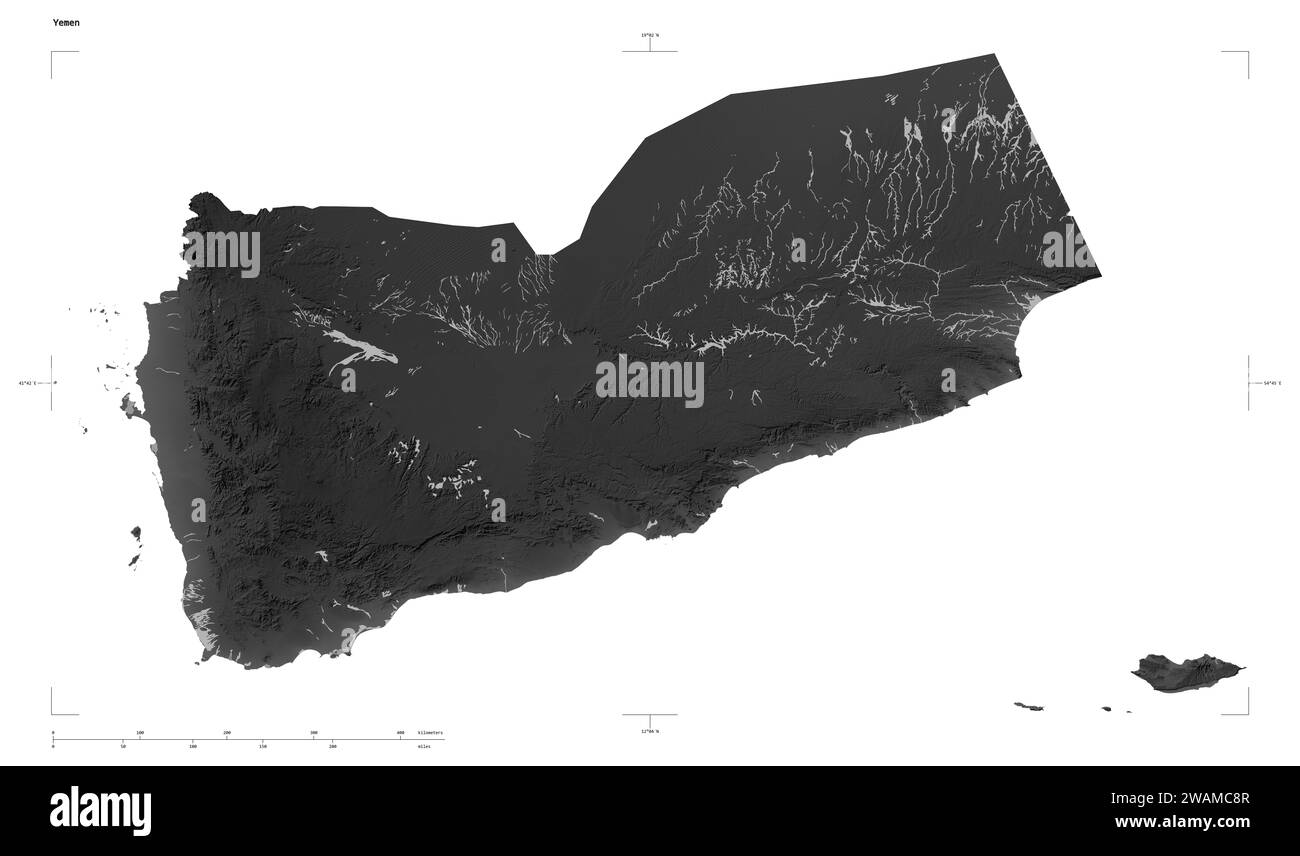 Shape of a Grayscale elevation map with lakes and rivers of the Yemen, with distance scale and map border coordinates, isolated on white Stock Photohttps://www.alamy.com/image-license-details/?v=1https://www.alamy.com/shape-of-a-grayscale-elevation-map-with-lakes-and-rivers-of-the-yemen-with-distance-scale-and-map-border-coordinates-isolated-on-white-image591747767.html
RF2WAMC8R–Shape of a Grayscale elevation map with lakes and rivers of the Yemen, with distance scale and map border coordinates, isolated on white
 Yemen/saudi Border Rub Al Khali Empty Quarter Desert Stock Photohttps://www.alamy.com/image-license-details/?v=1https://www.alamy.com/stock-photo-yemensaudi-border-rub-al-khali-empty-quarter-desert-23687792.html
RMBAF20G–Yemen/saudi Border Rub Al Khali Empty Quarter Desert
 Simple flat Map of Yemen with district borders Stock Vectorhttps://www.alamy.com/image-license-details/?v=1https://www.alamy.com/simple-flat-map-of-yemen-with-district-borders-image574749970.html
RF2TB23CJ–Simple flat Map of Yemen with district borders
 Apr. 04, 2012 - Yemen-Aden Border A Government Yemeni is hurt and receives attentio from his colleagues in the field. Stock Photohttps://www.alamy.com/image-license-details/?v=1https://www.alamy.com/apr-04-2012-yemen-aden-border-a-government-yemeni-is-hurt-and-receives-image69546361.html
RME1432H–Apr. 04, 2012 - Yemen-Aden Border A Government Yemeni is hurt and receives attentio from his colleagues in the field.
 Yemen - borders and flag - 3D illustration Stock Photohttps://www.alamy.com/image-license-details/?v=1https://www.alamy.com/yemen-borders-and-flag-3d-illustration-image352382347.html
RF2BD8B7R–Yemen - borders and flag - 3D illustration
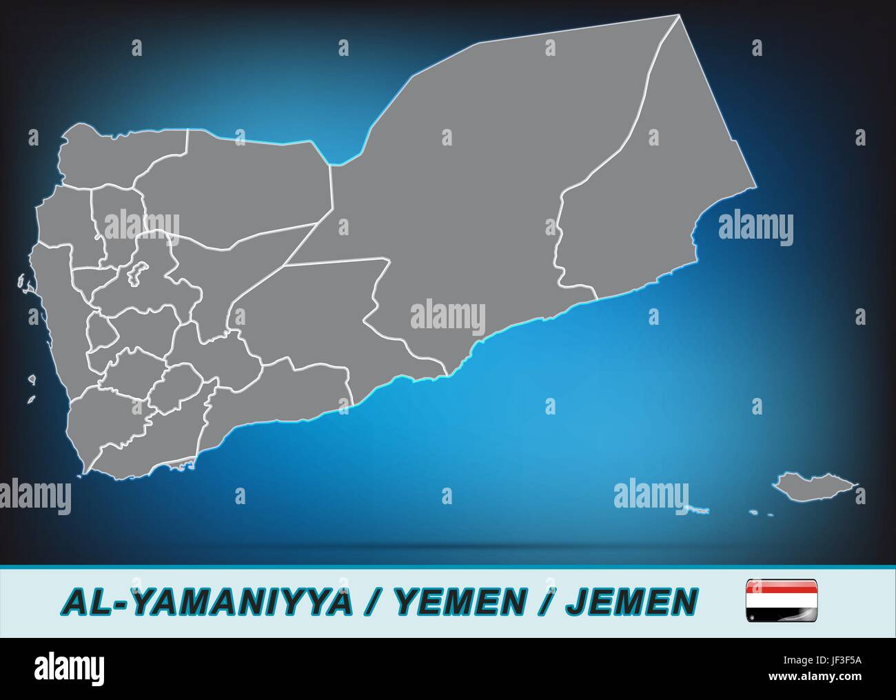 card, yemen, land, realty, ground, atlas, map of the world, map, model, design, Stock Vectorhttps://www.alamy.com/image-license-details/?v=1https://www.alamy.com/stock-photo-card-yemen-land-realty-ground-atlas-map-of-the-world-map-model-design-146980550.html
RFJF3F5A–card, yemen, land, realty, ground, atlas, map of the world, map, model, design,
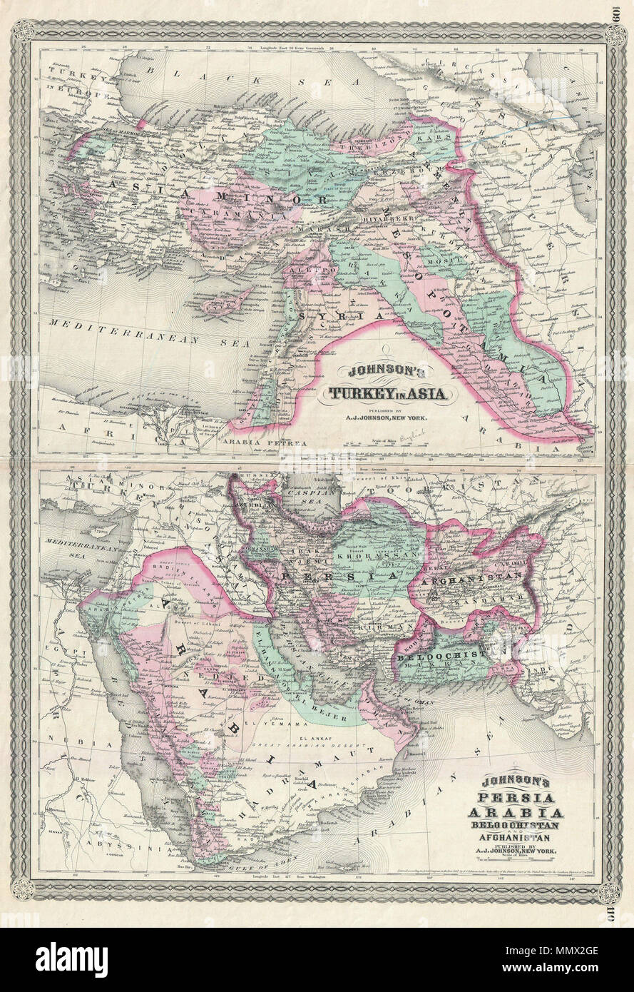 . English: This is A. J. Johnson 1870 map of what is today considered the Middle East, in Western Asia. Divided into two maps on a single sheet and based upon earlier separate Johnson maps. The upper map focuses on Turkey and the territories claimed by the Ottoman Empire. Includes modern day Turkey, Syria, Jordan, Israel, Palestine, Cyprus, and Iraq. The lower map focuses on Arabia and Persia. Details include modern day Iraq, Afghanistan, Saudi Arabia, Oman, Yemen, and the UAE. Features the spirograph style border common to Johnson’s atlas work in 1870. Steel plate engraving prepared by A. J. Stock Photohttps://www.alamy.com/image-license-details/?v=1https://www.alamy.com/english-this-is-a-j-johnson-1870-map-of-what-is-today-considered-the-middle-east-in-western-asia-divided-into-two-maps-on-a-single-sheet-and-based-upon-earlier-separate-johnson-maps-the-upper-map-focuses-on-turkey-and-the-territories-claimed-by-the-ottoman-empire-includes-modern-day-turkey-syria-jordan-israel-palestine-cyprus-and-iraq-the-lower-map-focuses-on-arabia-and-persia-details-include-modern-day-iraq-afghanistan-saudi-arabia-oman-yemen-and-the-uae-features-the-spirograph-style-border-common-to-johnsons-atlas-work-in-1870-steel-plate-engraving-prepared-by-a-j-image184969582.html
RMMMX2GE–. English: This is A. J. Johnson 1870 map of what is today considered the Middle East, in Western Asia. Divided into two maps on a single sheet and based upon earlier separate Johnson maps. The upper map focuses on Turkey and the territories claimed by the Ottoman Empire. Includes modern day Turkey, Syria, Jordan, Israel, Palestine, Cyprus, and Iraq. The lower map focuses on Arabia and Persia. Details include modern day Iraq, Afghanistan, Saudi Arabia, Oman, Yemen, and the UAE. Features the spirograph style border common to Johnson’s atlas work in 1870. Steel plate engraving prepared by A. J.
