Quick filters:
Yevrey Stock Photos and Images
 Yevrey blank outline map set Stock Vectorhttps://www.alamy.com/image-license-details/?v=1https://www.alamy.com/yevrey-blank-outline-map-set-image620799039.html
RF2Y1YRE7–Yevrey blank outline map set
 Symbol Map of the Autonomous Region Yevrey (Russia). Abstract map showing the state/province with a pattern of overlapping colorful squares like candi Stock Vectorhttps://www.alamy.com/image-license-details/?v=1https://www.alamy.com/symbol-map-of-the-autonomous-region-yevrey-russia-abstract-map-showing-the-stateprovince-with-a-pattern-of-overlapping-colorful-squares-like-candi-image611831844.html
RF2XFB9N8–Symbol Map of the Autonomous Region Yevrey (Russia). Abstract map showing the state/province with a pattern of overlapping colorful squares like candi
 Zabaykalsky, Evreyskaya AOb , Yevrey Russia State Oblast Province Map Illustration on white background using blue color Stock Photohttps://www.alamy.com/image-license-details/?v=1https://www.alamy.com/zabaykalsky-evreyskaya-aob-yevrey-russia-state-oblast-province-map-illustration-on-white-background-using-blue-color-image521981514.html
RF2N968MX–Zabaykalsky, Evreyskaya AOb , Yevrey Russia State Oblast Province Map Illustration on white background using blue color
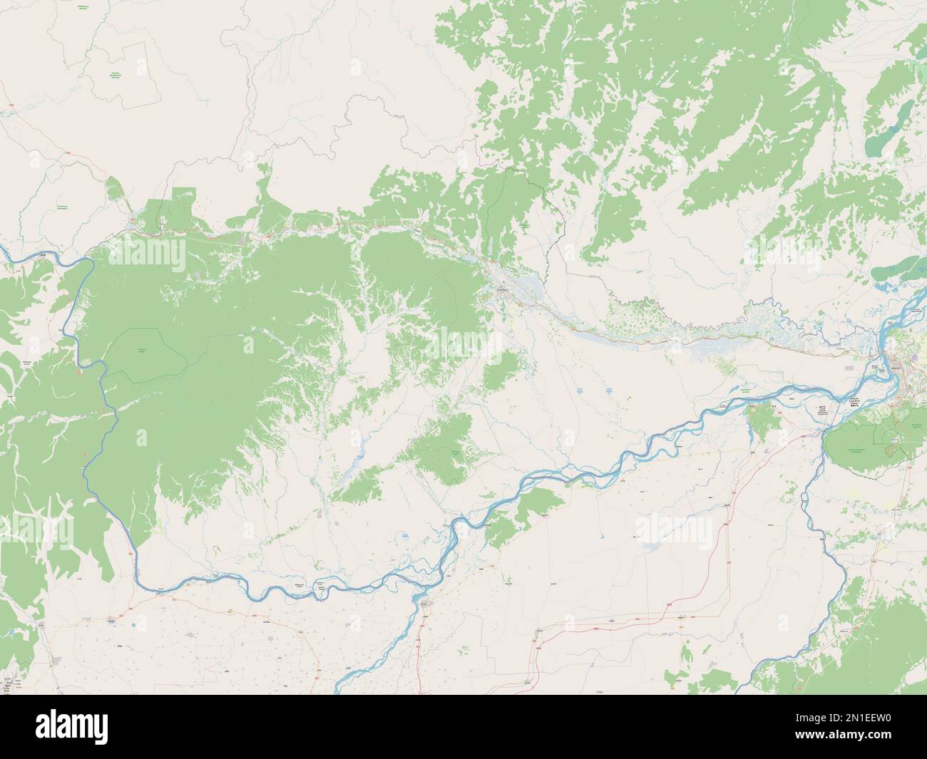 Yevrey, autonomous region of Russia. Open Street Map Stock Photohttps://www.alamy.com/image-license-details/?v=1https://www.alamy.com/yevrey-autonomous-region-of-russia-open-street-map-image517244700.html
RF2N1EEW0–Yevrey, autonomous region of Russia. Open Street Map
 Meeting. Birobidzhan, 1929. In the early part of the Stalin era, the Kremlin established a new administrative territory in the Soviet Far East--the Jewish Autonomous Region--to serve as a Jewish homeland. The capital of the region was the city of Birobidzhan. This album includes 274 photographs of the early years of Birobidzhan, beginning in the late 1920s. National Library of Russia Stock Photohttps://www.alamy.com/image-license-details/?v=1https://www.alamy.com/meeting-birobidzhan-1929-in-the-early-part-of-the-stalin-era-the-kremlin-established-a-new-administrative-territory-in-the-soviet-far-east-the-jewish-autonomous-region-to-serve-as-a-jewish-homeland-the-capital-of-the-region-was-the-city-of-birobidzhan-this-album-includes-274-photographs-of-the-early-years-of-birobidzhan-beginning-in-the-late-1920s-national-library-of-russia-image599667071.html
RM2WRH5D3–Meeting. Birobidzhan, 1929. In the early part of the Stalin era, the Kremlin established a new administrative territory in the Soviet Far East--the Jewish Autonomous Region--to serve as a Jewish homeland. The capital of the region was the city of Birobidzhan. This album includes 274 photographs of the early years of Birobidzhan, beginning in the late 1920s. National Library of Russia
 Yevrey, autonomous region of Russia. Solid color shape Stock Photohttps://www.alamy.com/image-license-details/?v=1https://www.alamy.com/yevrey-autonomous-region-of-russia-solid-color-shape-image517244721.html
RF2N1EEWN–Yevrey, autonomous region of Russia. Solid color shape
 At the tent, 1929. In the early part of the Stalin era, the Kremlin established a new administrative territory in the Soviet Far East--the Jewish Autonomous Region--to serve as a Jewish homeland. The capital of the region was the city of Birobidzhan. This album includes 274 photographs of the early years of Birobidzhan, beginning in the late 1920s. National Library of Russia Stock Photohttps://www.alamy.com/image-license-details/?v=1https://www.alamy.com/at-the-tent-1929-in-the-early-part-of-the-stalin-era-the-kremlin-established-a-new-administrative-territory-in-the-soviet-far-east-the-jewish-autonomous-region-to-serve-as-a-jewish-homeland-the-capital-of-the-region-was-the-city-of-birobidzhan-this-album-includes-274-photographs-of-the-early-years-of-birobidzhan-beginning-in-the-late-1920s-national-library-of-russia-image599667127.html
RM2WRH5F3–At the tent, 1929. In the early part of the Stalin era, the Kremlin established a new administrative territory in the Soviet Far East--the Jewish Autonomous Region--to serve as a Jewish homeland. The capital of the region was the city of Birobidzhan. This album includes 274 photographs of the early years of Birobidzhan, beginning in the late 1920s. National Library of Russia
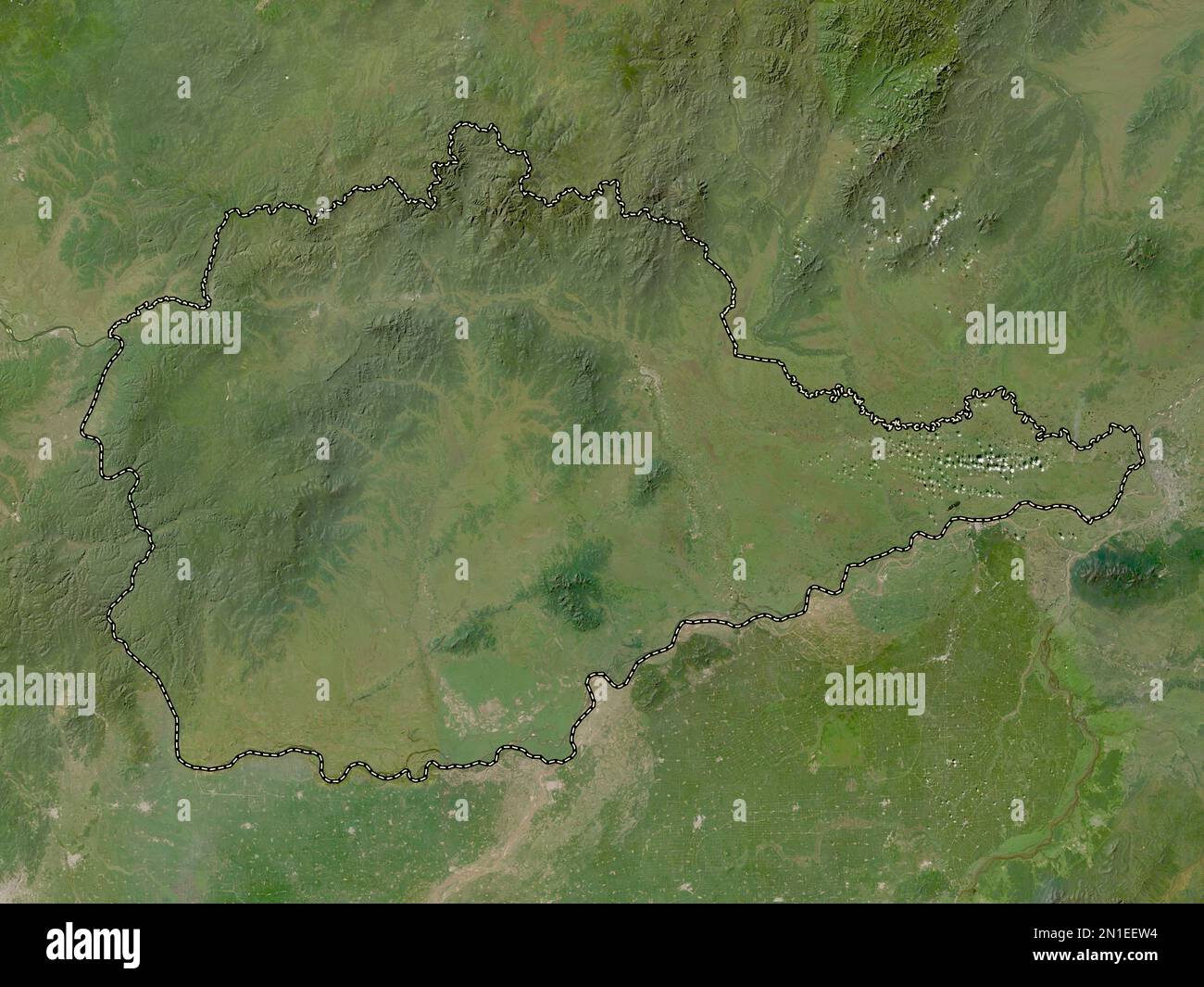 Yevrey, autonomous region of Russia. Low resolution satellite map Stock Photohttps://www.alamy.com/image-license-details/?v=1https://www.alamy.com/yevrey-autonomous-region-of-russia-low-resolution-satellite-map-image517244704.html
RF2N1EEW4–Yevrey, autonomous region of Russia. Low resolution satellite map
 Obluchye station - Local residents near the expedition carriage, 1929. In the early part of the Stalin era, the Kremlin established a new administrative territory in the Soviet Far East--the Jewish Autonomous Region--to serve as a Jewish homeland. The capital of the region was the city of Birobidzhan. This album includes 274 photographs of the early years of Birobidzhan, beginning in the late 1920s. National Library of Russia Stock Photohttps://www.alamy.com/image-license-details/?v=1https://www.alamy.com/obluchye-station-local-residents-near-the-expedition-carriage-1929-in-the-early-part-of-the-stalin-era-the-kremlin-established-a-new-administrative-territory-in-the-soviet-far-east-the-jewish-autonomous-region-to-serve-as-a-jewish-homeland-the-capital-of-the-region-was-the-city-of-birobidzhan-this-album-includes-274-photographs-of-the-early-years-of-birobidzhan-beginning-in-the-late-1920s-national-library-of-russia-image599667082.html
RM2WRH5DE–Obluchye station - Local residents near the expedition carriage, 1929. In the early part of the Stalin era, the Kremlin established a new administrative territory in the Soviet Far East--the Jewish Autonomous Region--to serve as a Jewish homeland. The capital of the region was the city of Birobidzhan. This album includes 274 photographs of the early years of Birobidzhan, beginning in the late 1920s. National Library of Russia
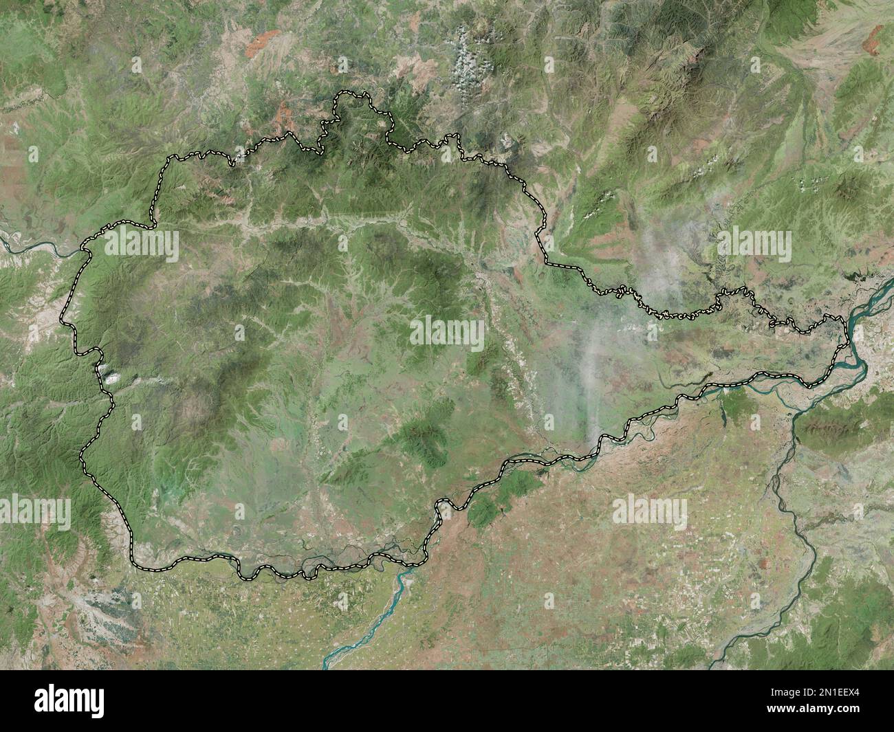 Yevrey, autonomous region of Russia. High resolution satellite map Stock Photohttps://www.alamy.com/image-license-details/?v=1https://www.alamy.com/yevrey-autonomous-region-of-russia-high-resolution-satellite-map-image517244732.html
RF2N1EEX4–Yevrey, autonomous region of Russia. High resolution satellite map
 Boris Lvovich Brook - head of the KOMZET expedition to survey the Biro-Bidzhan region, 1924. From a collection of documents, photographs, maps, and printed works relating to the life and work of Professor Boris L'vovich Bruk, a well-known Russian agronomist who did much to study and develop agriculture in the Russian Far East and the central regions of Russia. In 1927, Bruk headed the expedition of the Committee on the Land Management of Working Jews (KOMZET) to the thinly populated Birobidzhan region to study the possible resettlement there of Jews from European Russia. Jewish Autonomous Regi Stock Photohttps://www.alamy.com/image-license-details/?v=1https://www.alamy.com/boris-lvovich-brook-head-of-the-komzet-expedition-to-survey-the-biro-bidzhan-region-1924-from-a-collection-of-documents-photographs-maps-and-printed-works-relating-to-the-life-and-work-of-professor-boris-lvovich-bruk-a-well-known-russian-agronomist-who-did-much-to-study-and-develop-agriculture-in-the-russian-far-east-and-the-central-regions-of-russia-in-1927-bruk-headed-the-expedition-of-the-committee-on-the-land-management-of-working-jews-komzet-to-the-thinly-populated-birobidzhan-region-to-study-the-possible-resettlement-there-of-jews-from-european-russia-jewish-autonomous-regi-image599666988.html
RM2WRH5A4–Boris Lvovich Brook - head of the KOMZET expedition to survey the Biro-Bidzhan region, 1924. From a collection of documents, photographs, maps, and printed works relating to the life and work of Professor Boris L'vovich Bruk, a well-known Russian agronomist who did much to study and develop agriculture in the Russian Far East and the central regions of Russia. In 1927, Bruk headed the expedition of the Committee on the Land Management of Working Jews (KOMZET) to the thinly populated Birobidzhan region to study the possible resettlement there of Jews from European Russia. Jewish Autonomous Regi
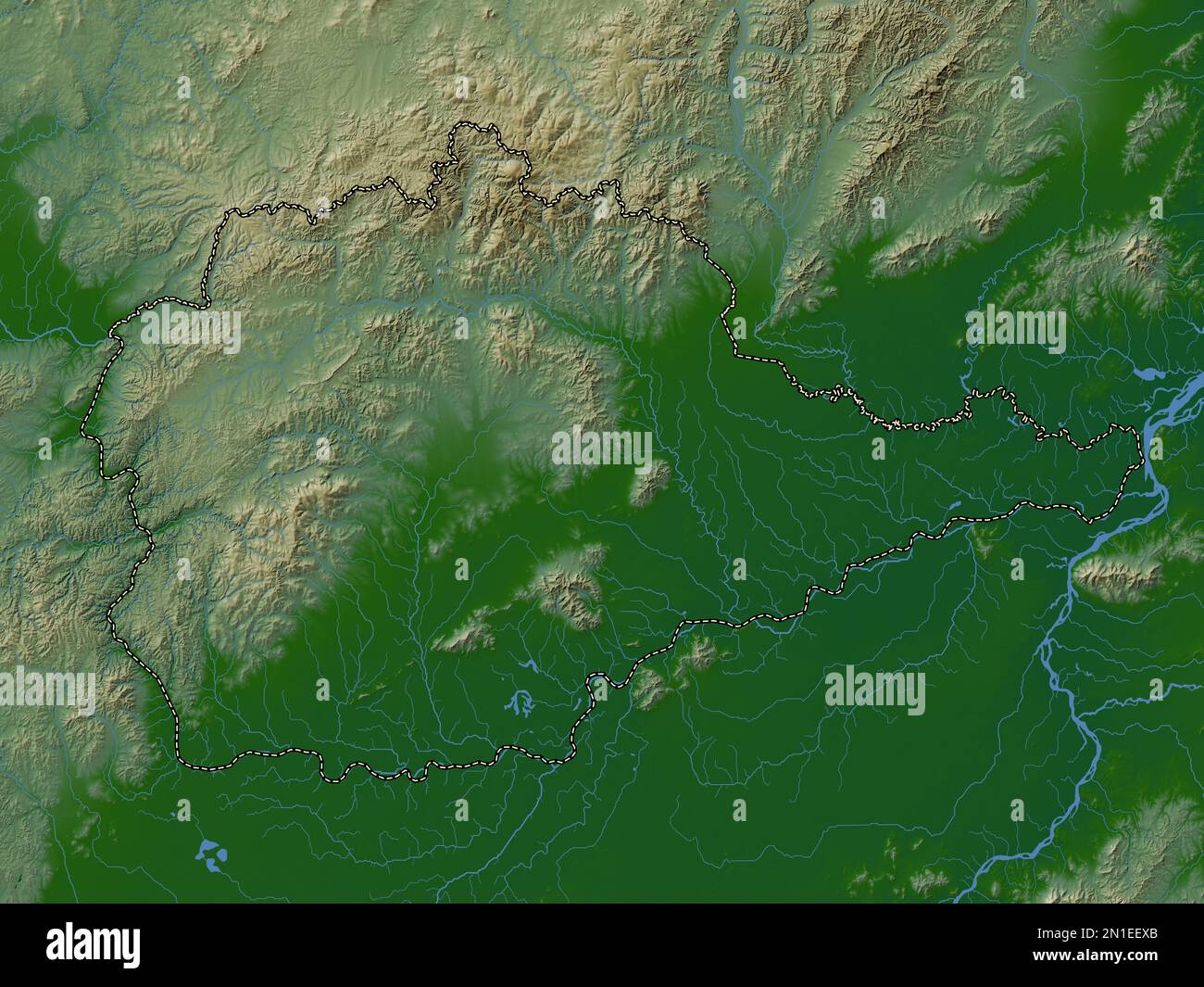 Yevrey, autonomous region of Russia. Colored elevation map with lakes and rivers Stock Photohttps://www.alamy.com/image-license-details/?v=1https://www.alamy.com/yevrey-autonomous-region-of-russia-colored-elevation-map-with-lakes-and-rivers-image517244739.html
RF2N1EEXB–Yevrey, autonomous region of Russia. Colored elevation map with lakes and rivers
 Boris L'vovich Bruk, 1952. From a collection of documents, photographs, maps, and printed works relating to the life and work of Professor Boris L'vovich Bruk, a well-known Russian agronomist who did much to study and develop agriculture in the Russian Far East and the central regions of Russia. In 1927, Bruk headed the expedition of the Committee on the Land Management of Working Jews (KOMZET) to the thinly populated Birobidzhan region to study the possible resettlement there of Jews from European Russia. Jewish Autonomous Region Museum of Regional History and Folklife Stock Photohttps://www.alamy.com/image-license-details/?v=1https://www.alamy.com/boris-lvovich-bruk-1952-from-a-collection-of-documents-photographs-maps-and-printed-works-relating-to-the-life-and-work-of-professor-boris-lvovich-bruk-a-well-known-russian-agronomist-who-did-much-to-study-and-develop-agriculture-in-the-russian-far-east-and-the-central-regions-of-russia-in-1927-bruk-headed-the-expedition-of-the-committee-on-the-land-management-of-working-jews-komzet-to-the-thinly-populated-birobidzhan-region-to-study-the-possible-resettlement-there-of-jews-from-european-russia-jewish-autonomous-region-museum-of-regional-history-and-folklife-image599666963.html
RM2WRH597–Boris L'vovich Bruk, 1952. From a collection of documents, photographs, maps, and printed works relating to the life and work of Professor Boris L'vovich Bruk, a well-known Russian agronomist who did much to study and develop agriculture in the Russian Far East and the central regions of Russia. In 1927, Bruk headed the expedition of the Committee on the Land Management of Working Jews (KOMZET) to the thinly populated Birobidzhan region to study the possible resettlement there of Jews from European Russia. Jewish Autonomous Region Museum of Regional History and Folklife
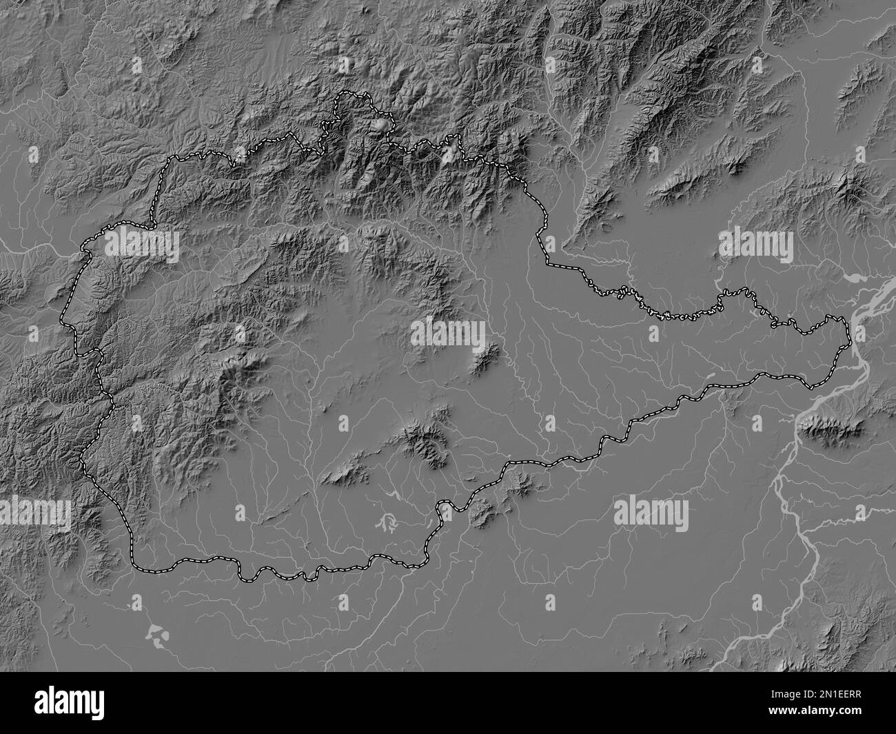 Yevrey, autonomous region of Russia. Bilevel elevation map with lakes and rivers Stock Photohttps://www.alamy.com/image-license-details/?v=1https://www.alamy.com/yevrey-autonomous-region-of-russia-bilevel-elevation-map-with-lakes-and-rivers-image517244667.html
RF2N1EERR–Yevrey, autonomous region of Russia. Bilevel elevation map with lakes and rivers
 B.L. Bruk with his nephew, 1937. From a collection of documents, photographs, maps, and printed works relating to the life and work of Professor Boris L'vovich Bruk, a well-known Russian agronomist who did much to study and develop agriculture in the Russian Far East and the central regions of Russia. In 1927, Bruk headed the expedition of the Committee on the Land Management of Working Jews (KOMZET) to the thinly populated Birobidzhan region to study the possible resettlement there of Jews from European Russia. Jewish Autonomous Region Museum of Regional History and Folklife Stock Photohttps://www.alamy.com/image-license-details/?v=1https://www.alamy.com/bl-bruk-with-his-nephew-1937-from-a-collection-of-documents-photographs-maps-and-printed-works-relating-to-the-life-and-work-of-professor-boris-lvovich-bruk-a-well-known-russian-agronomist-who-did-much-to-study-and-develop-agriculture-in-the-russian-far-east-and-the-central-regions-of-russia-in-1927-bruk-headed-the-expedition-of-the-committee-on-the-land-management-of-working-jews-komzet-to-the-thinly-populated-birobidzhan-region-to-study-the-possible-resettlement-there-of-jews-from-european-russia-jewish-autonomous-region-museum-of-regional-history-and-folklife-image599666926.html
RM2WRH57X–B.L. Bruk with his nephew, 1937. From a collection of documents, photographs, maps, and printed works relating to the life and work of Professor Boris L'vovich Bruk, a well-known Russian agronomist who did much to study and develop agriculture in the Russian Far East and the central regions of Russia. In 1927, Bruk headed the expedition of the Committee on the Land Management of Working Jews (KOMZET) to the thinly populated Birobidzhan region to study the possible resettlement there of Jews from European Russia. Jewish Autonomous Region Museum of Regional History and Folklife
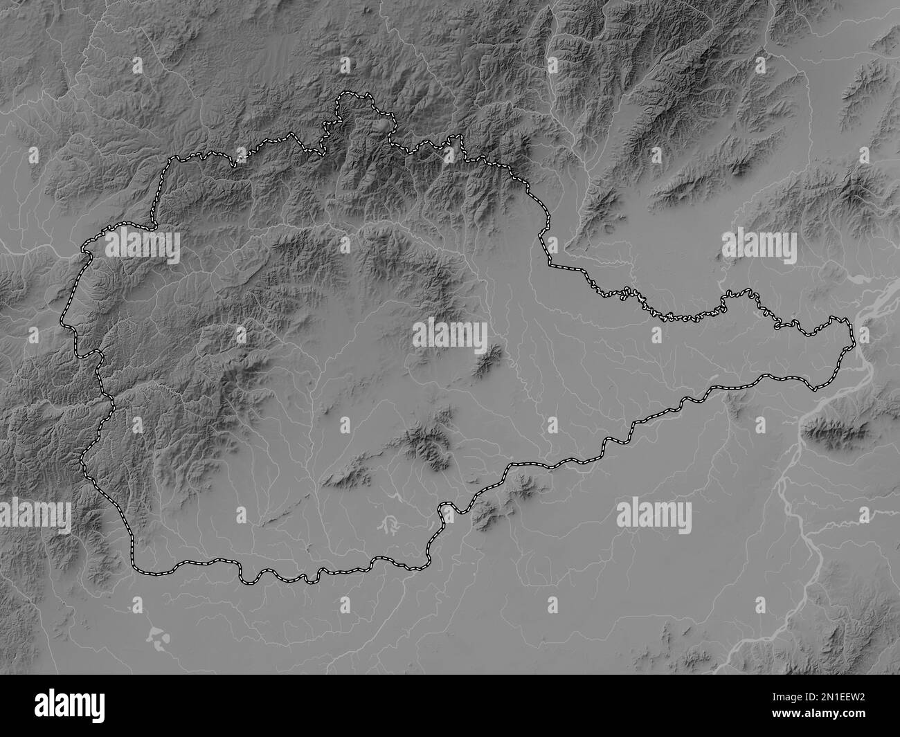 Yevrey, autonomous region of Russia. Grayscale elevation map with lakes and rivers Stock Photohttps://www.alamy.com/image-license-details/?v=1https://www.alamy.com/yevrey-autonomous-region-of-russia-grayscale-elevation-map-with-lakes-and-rivers-image517244702.html
RF2N1EEW2–Yevrey, autonomous region of Russia. Grayscale elevation map with lakes and rivers
 Boris Lvovich Brook - leader of the KOMZET expedition in the Far Eastern region in 1927, 1948. From a collection of documents, photographs, maps, and printed works relating to the life and work of Professor Boris L'vovich Bruk, a well-known Russian agronomist who did much to study and develop agriculture in the Russian Far East and the central regions of Russia. In 1927, Bruk headed the expedition of the Committee on the Land Management of Working Jews (KOMZET) to the thinly populated Birobidzhan region to study the possible resettlement there of Jews from European Russia. Jewish Autonomous Re Stock Photohttps://www.alamy.com/image-license-details/?v=1https://www.alamy.com/boris-lvovich-brook-leader-of-the-komzet-expedition-in-the-far-eastern-region-in-1927-1948-from-a-collection-of-documents-photographs-maps-and-printed-works-relating-to-the-life-and-work-of-professor-boris-lvovich-bruk-a-well-known-russian-agronomist-who-did-much-to-study-and-develop-agriculture-in-the-russian-far-east-and-the-central-regions-of-russia-in-1927-bruk-headed-the-expedition-of-the-committee-on-the-land-management-of-working-jews-komzet-to-the-thinly-populated-birobidzhan-region-to-study-the-possible-resettlement-there-of-jews-from-european-russia-jewish-autonomous-re-image599666962.html
RM2WRH596–Boris Lvovich Brook - leader of the KOMZET expedition in the Far Eastern region in 1927, 1948. From a collection of documents, photographs, maps, and printed works relating to the life and work of Professor Boris L'vovich Bruk, a well-known Russian agronomist who did much to study and develop agriculture in the Russian Far East and the central regions of Russia. In 1927, Bruk headed the expedition of the Committee on the Land Management of Working Jews (KOMZET) to the thinly populated Birobidzhan region to study the possible resettlement there of Jews from European Russia. Jewish Autonomous Re
 Yevrey, autonomous region of Russia. Solid color shape. Corner auxiliary location maps Stock Photohttps://www.alamy.com/image-license-details/?v=1https://www.alamy.com/yevrey-autonomous-region-of-russia-solid-color-shape-corner-auxiliary-location-maps-image517244731.html
RF2N1EEX3–Yevrey, autonomous region of Russia. Solid color shape. Corner auxiliary location maps
 Bira station - Guide with a horse, 1929. In the early part of the Stalin era, the Kremlin established a new administrative territory in the Soviet Far East--the Jewish Autonomous Region--to serve as a Jewish homeland. The capital of the region was the city of Birobidzhan. This album includes 274 photographs of the early years of Birobidzhan, beginning in the late 1920s. National Library of Russia Stock Photohttps://www.alamy.com/image-license-details/?v=1https://www.alamy.com/bira-station-guide-with-a-horse-1929-in-the-early-part-of-the-stalin-era-the-kremlin-established-a-new-administrative-territory-in-the-soviet-far-east-the-jewish-autonomous-region-to-serve-as-a-jewish-homeland-the-capital-of-the-region-was-the-city-of-birobidzhan-this-album-includes-274-photographs-of-the-early-years-of-birobidzhan-beginning-in-the-late-1920s-national-library-of-russia-image599667068.html
RM2WRH5D0–Bira station - Guide with a horse, 1929. In the early part of the Stalin era, the Kremlin established a new administrative territory in the Soviet Far East--the Jewish Autonomous Region--to serve as a Jewish homeland. The capital of the region was the city of Birobidzhan. This album includes 274 photographs of the early years of Birobidzhan, beginning in the late 1920s. National Library of Russia
 Yevrey, autonomous region of Russia. Open Street Map. Corner auxiliary location maps Stock Photohttps://www.alamy.com/image-license-details/?v=1https://www.alamy.com/yevrey-autonomous-region-of-russia-open-street-map-corner-auxiliary-location-maps-image517244711.html
RF2N1EEWB–Yevrey, autonomous region of Russia. Open Street Map. Corner auxiliary location maps
 Grooms with horses, 1929. In the early part of the Stalin era, the Kremlin established a new administrative territory in the Soviet Far East--the Jewish Autonomous Region--to serve as a Jewish homeland. The capital of the region was the city of Birobidzhan. This album includes 274 photographs of the early years of Birobidzhan, beginning in the late 1920s. National Library of Russia Stock Photohttps://www.alamy.com/image-license-details/?v=1https://www.alamy.com/grooms-with-horses-1929-in-the-early-part-of-the-stalin-era-the-kremlin-established-a-new-administrative-territory-in-the-soviet-far-east-the-jewish-autonomous-region-to-serve-as-a-jewish-homeland-the-capital-of-the-region-was-the-city-of-birobidzhan-this-album-includes-274-photographs-of-the-early-years-of-birobidzhan-beginning-in-the-late-1920s-national-library-of-russia-image599666816.html
RM2WRH540–Grooms with horses, 1929. In the early part of the Stalin era, the Kremlin established a new administrative territory in the Soviet Far East--the Jewish Autonomous Region--to serve as a Jewish homeland. The capital of the region was the city of Birobidzhan. This album includes 274 photographs of the early years of Birobidzhan, beginning in the late 1920s. National Library of Russia
 Yevrey, autonomous region of Russia. High resolution satellite map. Corner auxiliary location maps Stock Photohttps://www.alamy.com/image-license-details/?v=1https://www.alamy.com/yevrey-autonomous-region-of-russia-high-resolution-satellite-map-corner-auxiliary-location-maps-image517245226.html
RF2N1EFFP–Yevrey, autonomous region of Russia. High resolution satellite map. Corner auxiliary location maps
 Yevrey, autonomous region of Russia. Low resolution satellite map. Corner auxiliary location maps Stock Photohttps://www.alamy.com/image-license-details/?v=1https://www.alamy.com/yevrey-autonomous-region-of-russia-low-resolution-satellite-map-corner-auxiliary-location-maps-image517244741.html
RF2N1EEXD–Yevrey, autonomous region of Russia. Low resolution satellite map. Corner auxiliary location maps
 Yevrey, autonomous region of Russia. Grayscale elevation map with lakes and rivers. Corner auxiliary location maps Stock Photohttps://www.alamy.com/image-license-details/?v=1https://www.alamy.com/yevrey-autonomous-region-of-russia-grayscale-elevation-map-with-lakes-and-rivers-corner-auxiliary-location-maps-image517244666.html
RF2N1EERP–Yevrey, autonomous region of Russia. Grayscale elevation map with lakes and rivers. Corner auxiliary location maps
 Yevrey, autonomous region of Russia. Colored elevation map with lakes and rivers. Corner auxiliary location maps Stock Photohttps://www.alamy.com/image-license-details/?v=1https://www.alamy.com/yevrey-autonomous-region-of-russia-colored-elevation-map-with-lakes-and-rivers-corner-auxiliary-location-maps-image517244751.html
RF2N1EEXR–Yevrey, autonomous region of Russia. Colored elevation map with lakes and rivers. Corner auxiliary location maps
 Yevrey, autonomous region of Russia. Bilevel elevation map with lakes and rivers. Corner auxiliary location maps Stock Photohttps://www.alamy.com/image-license-details/?v=1https://www.alamy.com/yevrey-autonomous-region-of-russia-bilevel-elevation-map-with-lakes-and-rivers-corner-auxiliary-location-maps-image517244157.html
RF2N1EE5H–Yevrey, autonomous region of Russia. Bilevel elevation map with lakes and rivers. Corner auxiliary location maps
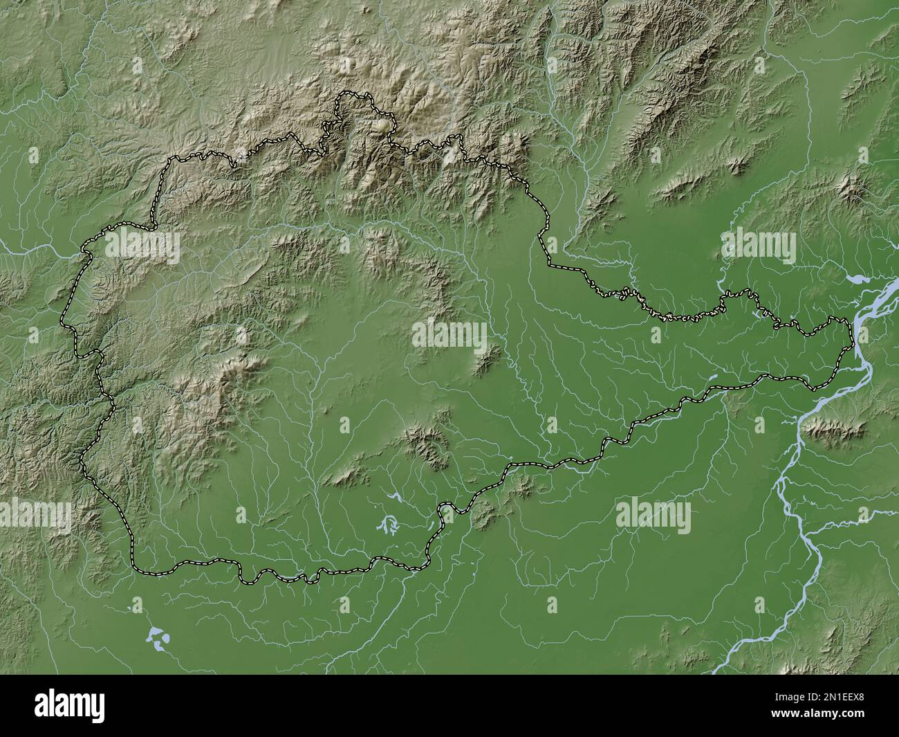 Yevrey, autonomous region of Russia. Elevation map colored in wiki style with lakes and rivers Stock Photohttps://www.alamy.com/image-license-details/?v=1https://www.alamy.com/yevrey-autonomous-region-of-russia-elevation-map-colored-in-wiki-style-with-lakes-and-rivers-image517244736.html
RF2N1EEX8–Yevrey, autonomous region of Russia. Elevation map colored in wiki style with lakes and rivers
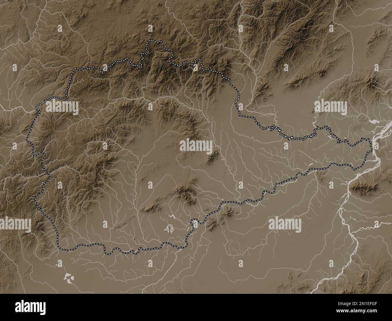 Yevrey, autonomous region of Russia. Elevation map colored in sepia tones with lakes and rivers Stock Photohttps://www.alamy.com/image-license-details/?v=1https://www.alamy.com/yevrey-autonomous-region-of-russia-elevation-map-colored-in-sepia-tones-with-lakes-and-rivers-image517245247.html
RF2N1EFGF–Yevrey, autonomous region of Russia. Elevation map colored in sepia tones with lakes and rivers
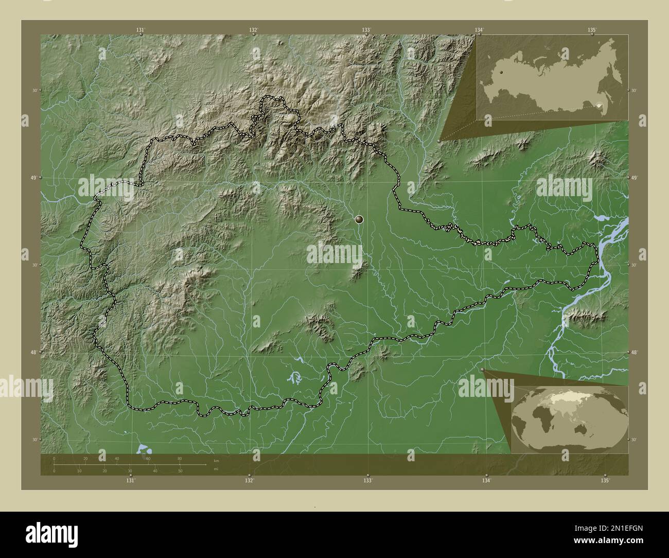 Yevrey, autonomous region of Russia. Elevation map colored in wiki style with lakes and rivers. Corner auxiliary location maps Stock Photohttps://www.alamy.com/image-license-details/?v=1https://www.alamy.com/yevrey-autonomous-region-of-russia-elevation-map-colored-in-wiki-style-with-lakes-and-rivers-corner-auxiliary-location-maps-image517245253.html
RF2N1EFGN–Yevrey, autonomous region of Russia. Elevation map colored in wiki style with lakes and rivers. Corner auxiliary location maps
 Yevrey, autonomous region of Russia. Elevation map colored in sepia tones with lakes and rivers. Corner auxiliary location maps Stock Photohttps://www.alamy.com/image-license-details/?v=1https://www.alamy.com/yevrey-autonomous-region-of-russia-elevation-map-colored-in-sepia-tones-with-lakes-and-rivers-corner-auxiliary-location-maps-image517245271.html
RF2N1EFHB–Yevrey, autonomous region of Russia. Elevation map colored in sepia tones with lakes and rivers. Corner auxiliary location maps
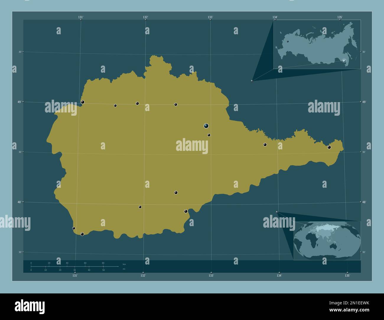 Yevrey, autonomous region of Russia. Solid color shape. Locations of major cities of the region. Corner auxiliary location maps Stock Photohttps://www.alamy.com/image-license-details/?v=1https://www.alamy.com/yevrey-autonomous-region-of-russia-solid-color-shape-locations-of-major-cities-of-the-region-corner-auxiliary-location-maps-image517244719.html
RF2N1EEWK–Yevrey, autonomous region of Russia. Solid color shape. Locations of major cities of the region. Corner auxiliary location maps
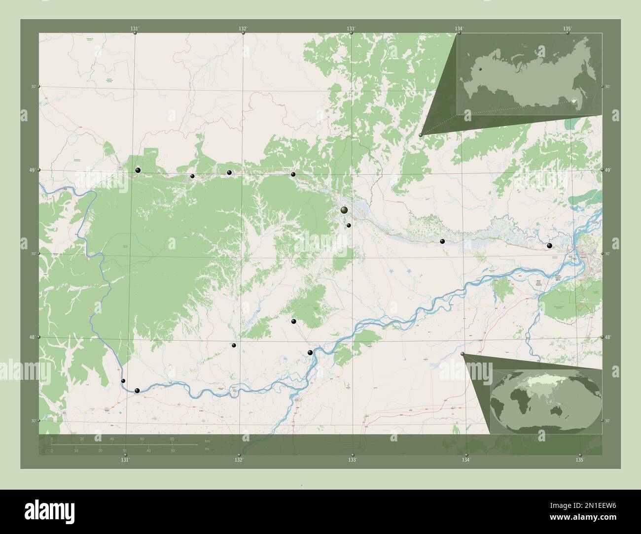 Yevrey, autonomous region of Russia. Open Street Map. Locations of major cities of the region. Corner auxiliary location maps Stock Photohttps://www.alamy.com/image-license-details/?v=1https://www.alamy.com/yevrey-autonomous-region-of-russia-open-street-map-locations-of-major-cities-of-the-region-corner-auxiliary-location-maps-image517244706.html
RF2N1EEW6–Yevrey, autonomous region of Russia. Open Street Map. Locations of major cities of the region. Corner auxiliary location maps
 Yevrey, autonomous region of Russia. Satellite imagery. Shape outlined against its country area. 3D rendering Stock Photohttps://www.alamy.com/image-license-details/?v=1https://www.alamy.com/yevrey-autonomous-region-of-russia-satellite-imagery-shape-outlined-against-its-country-area-3d-rendering-image364266143.html
RF2C4HN53–Yevrey, autonomous region of Russia. Satellite imagery. Shape outlined against its country area. 3D rendering
 Shape of Yevrey, autonomous region of Russia, with its capital isolated on white background. Satellite imagery. 3D rendering Stock Photohttps://www.alamy.com/image-license-details/?v=1https://www.alamy.com/shape-of-yevrey-autonomous-region-of-russia-with-its-capital-isolated-on-white-background-satellite-imagery-3d-rendering-image368590403.html
RF2CBJMPY–Shape of Yevrey, autonomous region of Russia, with its capital isolated on white background. Satellite imagery. 3D rendering
 Shape of Yevrey, autonomous region of Russia, and its capital. Distance scale, previews and labels. Satellite imagery. 3D rendering Stock Photohttps://www.alamy.com/image-license-details/?v=1https://www.alamy.com/shape-of-yevrey-autonomous-region-of-russia-and-its-capital-distance-scale-previews-and-labels-satellite-imagery-3d-rendering-image368590374.html
RF2CBJMNX–Shape of Yevrey, autonomous region of Russia, and its capital. Distance scale, previews and labels. Satellite imagery. 3D rendering
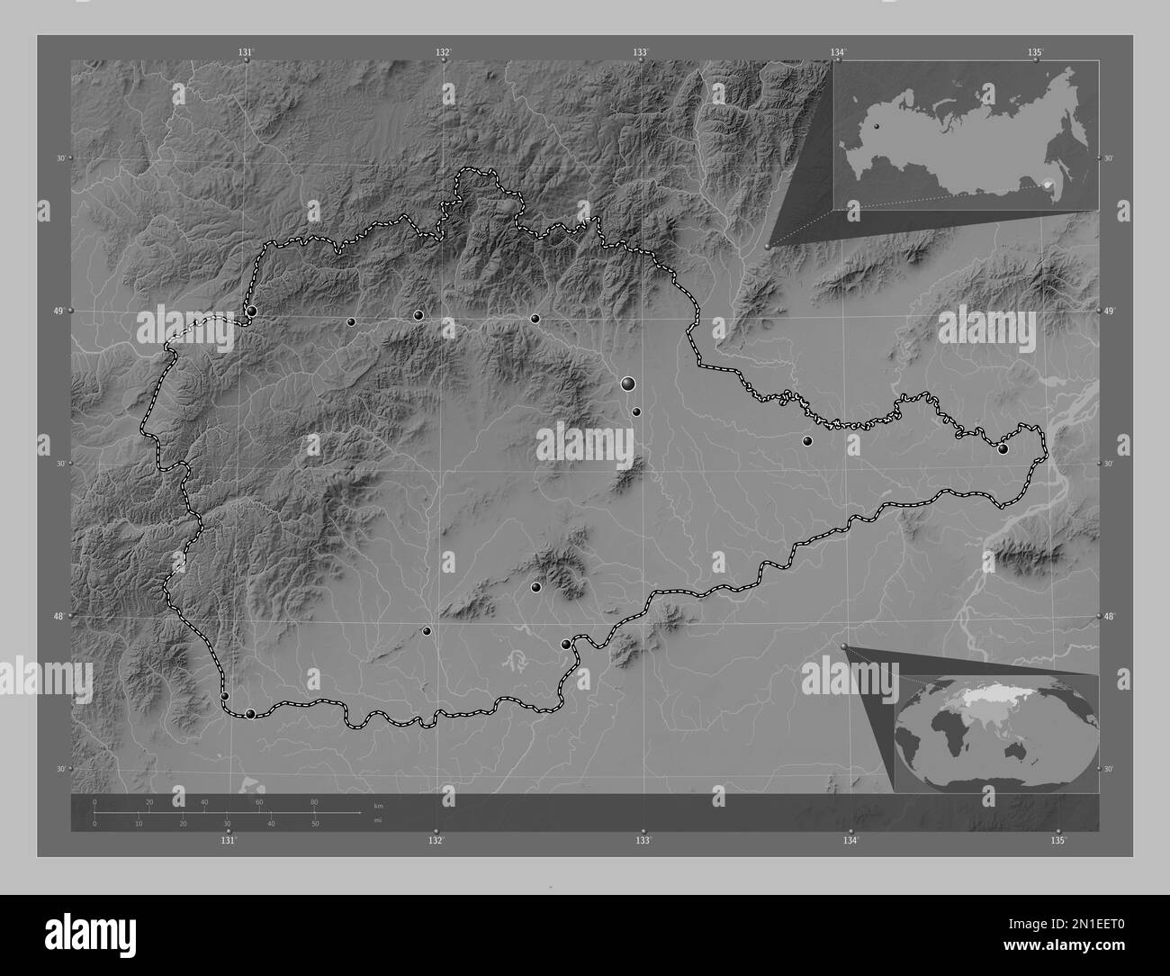 Yevrey, autonomous region of Russia. Grayscale elevation map with lakes and rivers. Locations of major cities of the region. Corner auxiliary location Stock Photohttps://www.alamy.com/image-license-details/?v=1https://www.alamy.com/yevrey-autonomous-region-of-russia-grayscale-elevation-map-with-lakes-and-rivers-locations-of-major-cities-of-the-region-corner-auxiliary-location-image517244672.html
RF2N1EET0–Yevrey, autonomous region of Russia. Grayscale elevation map with lakes and rivers. Locations of major cities of the region. Corner auxiliary location
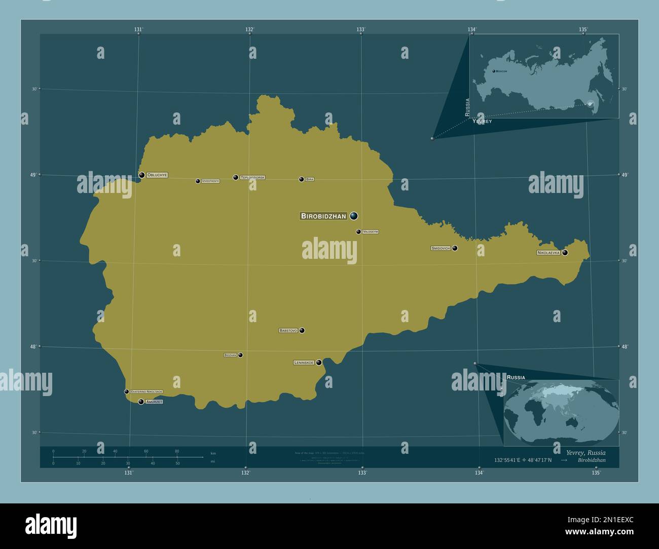 Yevrey, autonomous region of Russia. Solid color shape. Locations and names of major cities of the region. Corner auxiliary location maps Stock Photohttps://www.alamy.com/image-license-details/?v=1https://www.alamy.com/yevrey-autonomous-region-of-russia-solid-color-shape-locations-and-names-of-major-cities-of-the-region-corner-auxiliary-location-maps-image517244740.html
RF2N1EEXC–Yevrey, autonomous region of Russia. Solid color shape. Locations and names of major cities of the region. Corner auxiliary location maps
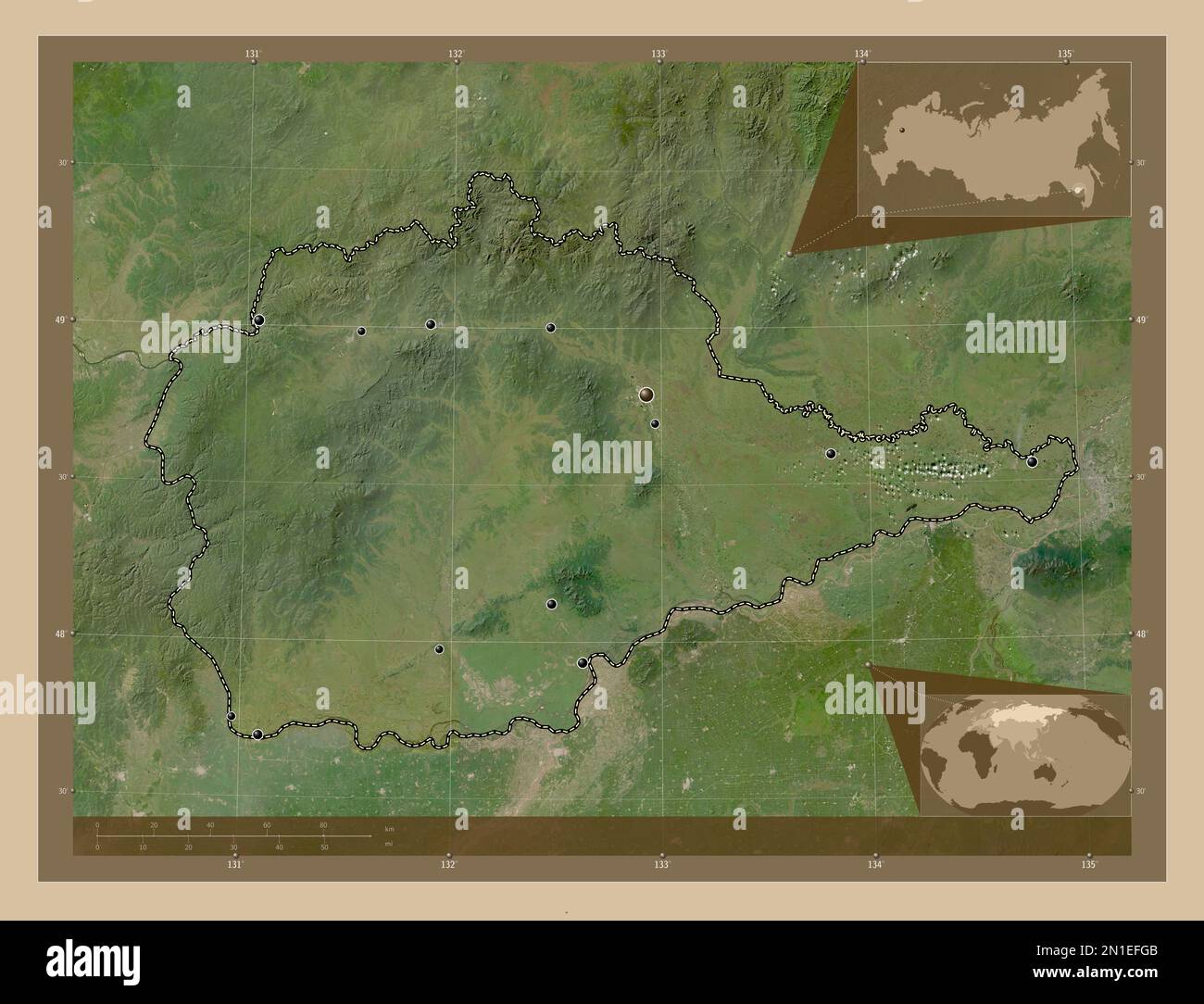 Yevrey, autonomous region of Russia. Low resolution satellite map. Locations of major cities of the region. Corner auxiliary location maps Stock Photohttps://www.alamy.com/image-license-details/?v=1https://www.alamy.com/yevrey-autonomous-region-of-russia-low-resolution-satellite-map-locations-of-major-cities-of-the-region-corner-auxiliary-location-maps-image517245243.html
RF2N1EFGB–Yevrey, autonomous region of Russia. Low resolution satellite map. Locations of major cities of the region. Corner auxiliary location maps
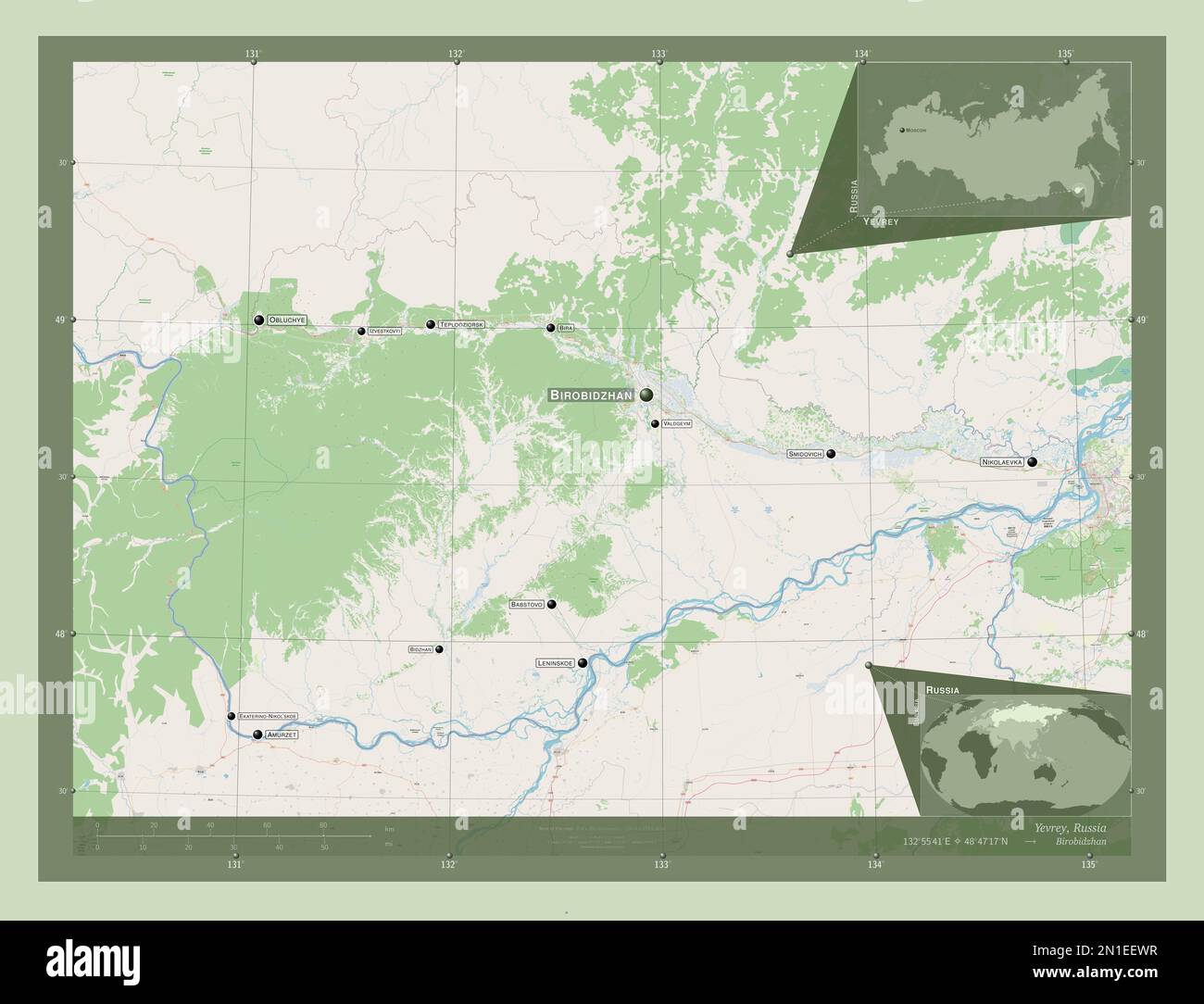 Yevrey, autonomous region of Russia. Open Street Map. Locations and names of major cities of the region. Corner auxiliary location maps Stock Photohttps://www.alamy.com/image-license-details/?v=1https://www.alamy.com/yevrey-autonomous-region-of-russia-open-street-map-locations-and-names-of-major-cities-of-the-region-corner-auxiliary-location-maps-image517244723.html
RF2N1EEWR–Yevrey, autonomous region of Russia. Open Street Map. Locations and names of major cities of the region. Corner auxiliary location maps
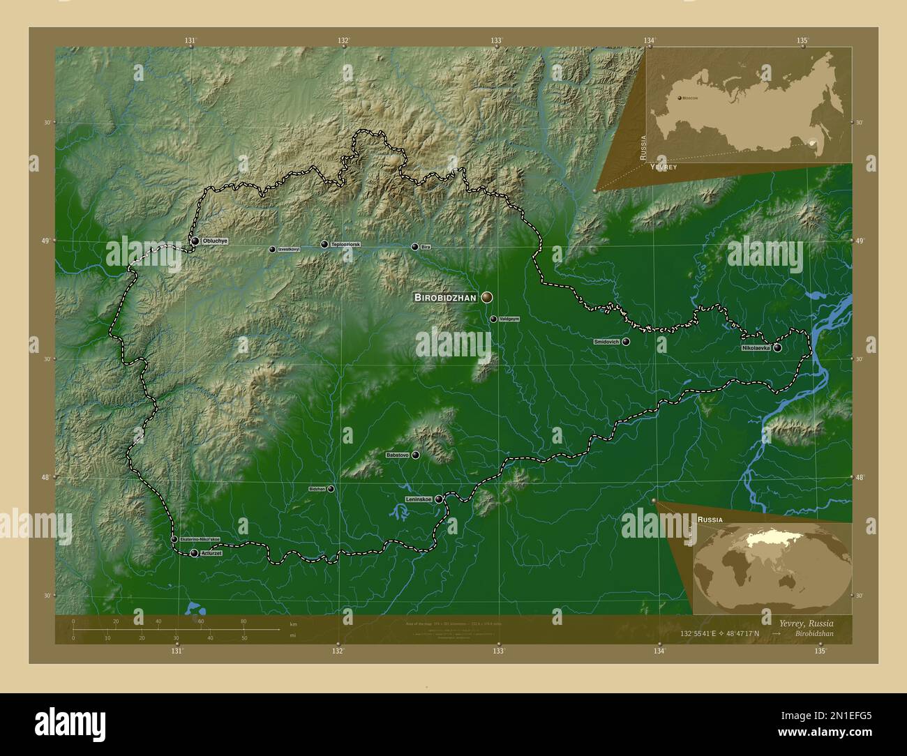 Yevrey, autonomous region of Russia. Colored elevation map with lakes and rivers. Locations and names of major cities of the region. Corner auxiliary Stock Photohttps://www.alamy.com/image-license-details/?v=1https://www.alamy.com/yevrey-autonomous-region-of-russia-colored-elevation-map-with-lakes-and-rivers-locations-and-names-of-major-cities-of-the-region-corner-auxiliary-image517245237.html
RF2N1EFG5–Yevrey, autonomous region of Russia. Colored elevation map with lakes and rivers. Locations and names of major cities of the region. Corner auxiliary
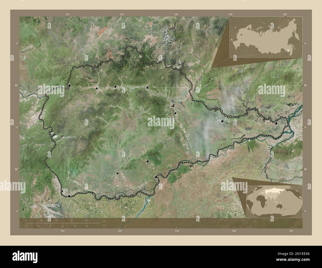 Yevrey, autonomous region of Russia. High resolution satellite map. Locations of major cities of the region. Corner auxiliary location maps Stock Photohttps://www.alamy.com/image-license-details/?v=1https://www.alamy.com/yevrey-autonomous-region-of-russia-high-resolution-satellite-map-locations-of-major-cities-of-the-region-corner-auxiliary-location-maps-image517244734.html
RF2N1EEX6–Yevrey, autonomous region of Russia. High resolution satellite map. Locations of major cities of the region. Corner auxiliary location maps
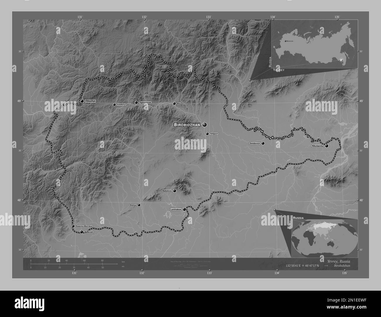 Yevrey, autonomous region of Russia. Grayscale elevation map with lakes and rivers. Locations and names of major cities of the region. Corner auxiliar Stock Photohttps://www.alamy.com/image-license-details/?v=1https://www.alamy.com/yevrey-autonomous-region-of-russia-grayscale-elevation-map-with-lakes-and-rivers-locations-and-names-of-major-cities-of-the-region-corner-auxiliar-image517244715.html
RF2N1EEWF–Yevrey, autonomous region of Russia. Grayscale elevation map with lakes and rivers. Locations and names of major cities of the region. Corner auxiliar
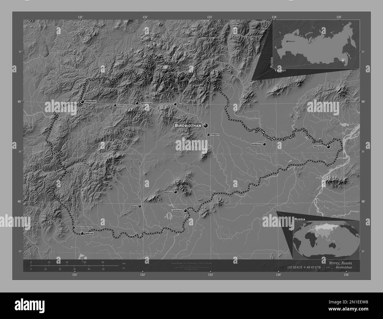 Yevrey, autonomous region of Russia. Bilevel elevation map with lakes and rivers. Locations and names of major cities of the region. Corner auxiliary Stock Photohttps://www.alamy.com/image-license-details/?v=1https://www.alamy.com/yevrey-autonomous-region-of-russia-bilevel-elevation-map-with-lakes-and-rivers-locations-and-names-of-major-cities-of-the-region-corner-auxiliary-image517244708.html
RF2N1EEW8–Yevrey, autonomous region of Russia. Bilevel elevation map with lakes and rivers. Locations and names of major cities of the region. Corner auxiliary
 Zoom in on Yevrey (autonomous region of Russia) outlined. Oblique perspective. Satellite imagery. 3D rendering Stock Photohttps://www.alamy.com/image-license-details/?v=1https://www.alamy.com/zoom-in-on-yevrey-autonomous-region-of-russia-outlined-oblique-perspective-satellite-imagery-3d-rendering-image364332339.html
RF2C4MNH7–Zoom in on Yevrey (autonomous region of Russia) outlined. Oblique perspective. Satellite imagery. 3D rendering
 Zoom in on Yevrey (autonomous region of Russia) extruded. Oblique perspective. Satellite imagery. 3D rendering Stock Photohttps://www.alamy.com/image-license-details/?v=1https://www.alamy.com/zoom-in-on-yevrey-autonomous-region-of-russia-extruded-oblique-perspective-satellite-imagery-3d-rendering-image364332321.html
RF2C4MNGH–Zoom in on Yevrey (autonomous region of Russia) extruded. Oblique perspective. Satellite imagery. 3D rendering
 Shape of Yevrey, autonomous region of Russia, with its capital isolated on white background. Colored elevation map. 3D rendering Stock Photohttps://www.alamy.com/image-license-details/?v=1https://www.alamy.com/shape-of-yevrey-autonomous-region-of-russia-with-its-capital-isolated-on-white-background-colored-elevation-map-3d-rendering-image368590323.html
RF2CBJMM3–Shape of Yevrey, autonomous region of Russia, with its capital isolated on white background. Colored elevation map. 3D rendering
 Shape of Yevrey, autonomous region of Russia, with its capital isolated on white background. Bilevel elevation map. 3D rendering Stock Photohttps://www.alamy.com/image-license-details/?v=1https://www.alamy.com/shape-of-yevrey-autonomous-region-of-russia-with-its-capital-isolated-on-white-background-bilevel-elevation-map-3d-rendering-image368590329.html
RF2CBJMM9–Shape of Yevrey, autonomous region of Russia, with its capital isolated on white background. Bilevel elevation map. 3D rendering
 Shape of Yevrey, autonomous region of Russia, with its capital isolated on white background. Composition of patterned textures. 3D rendering Stock Photohttps://www.alamy.com/image-license-details/?v=1https://www.alamy.com/shape-of-yevrey-autonomous-region-of-russia-with-its-capital-isolated-on-white-background-composition-of-patterned-textures-3d-rendering-image368590342.html
RF2CBJMMP–Shape of Yevrey, autonomous region of Russia, with its capital isolated on white background. Composition of patterned textures. 3D rendering
 Shape of Yevrey, autonomous region of Russia, with its capital isolated on white background. Topographic relief map. 3D rendering Stock Photohttps://www.alamy.com/image-license-details/?v=1https://www.alamy.com/shape-of-yevrey-autonomous-region-of-russia-with-its-capital-isolated-on-white-background-topographic-relief-map-3d-rendering-image368590387.html
RF2CBJMPB–Shape of Yevrey, autonomous region of Russia, with its capital isolated on white background. Topographic relief map. 3D rendering
 Desaturated shape of Russia with its capital, main regional division and the separated Yevrey area. Labels. Satellite imagery. 3D rendering Stock Photohttps://www.alamy.com/image-license-details/?v=1https://www.alamy.com/desaturated-shape-of-russia-with-its-capital-main-regional-division-and-the-separated-yevrey-area-labels-satellite-imagery-3d-rendering-image368590375.html
RF2CBJMNY–Desaturated shape of Russia with its capital, main regional division and the separated Yevrey area. Labels. Satellite imagery. 3D rendering
 Shape of Yevrey, autonomous region of Russia, and its capital. Distance scale, previews and labels. Bilevel elevation map. 3D rendering Stock Photohttps://www.alamy.com/image-license-details/?v=1https://www.alamy.com/shape-of-yevrey-autonomous-region-of-russia-and-its-capital-distance-scale-previews-and-labels-bilevel-elevation-map-3d-rendering-image368590313.html
RF2CBJMKN–Shape of Yevrey, autonomous region of Russia, and its capital. Distance scale, previews and labels. Bilevel elevation map. 3D rendering
 Shape of Yevrey, autonomous region of Russia, and its capital. Distance scale, previews and labels. Topographic relief map. 3D rendering Stock Photohttps://www.alamy.com/image-license-details/?v=1https://www.alamy.com/shape-of-yevrey-autonomous-region-of-russia-and-its-capital-distance-scale-previews-and-labels-topographic-relief-map-3d-rendering-image368590380.html
RF2CBJMP4–Shape of Yevrey, autonomous region of Russia, and its capital. Distance scale, previews and labels. Topographic relief map. 3D rendering
 Shape of Yevrey, autonomous region of Russia, and its capital. Distance scale, previews and labels. Colored elevation map. 3D rendering Stock Photohttps://www.alamy.com/image-license-details/?v=1https://www.alamy.com/shape-of-yevrey-autonomous-region-of-russia-and-its-capital-distance-scale-previews-and-labels-colored-elevation-map-3d-rendering-image368590317.html
RF2CBJMKW–Shape of Yevrey, autonomous region of Russia, and its capital. Distance scale, previews and labels. Colored elevation map. 3D rendering
 Desaturated shape of Russia with its capital, main regional division and the separated Yevrey area. Labels. Composition of regularly patterned texture Stock Photohttps://www.alamy.com/image-license-details/?v=1https://www.alamy.com/desaturated-shape-of-russia-with-its-capital-main-regional-division-and-the-separated-yevrey-area-labels-composition-of-regularly-patterned-texture-image368590340.html
RF2CBJMMM–Desaturated shape of Russia with its capital, main regional division and the separated Yevrey area. Labels. Composition of regularly patterned texture
 Shape of Yevrey, autonomous region of Russia, and its capital. Distance scale, previews and labels. Composition of regularly patterned textures. 3D re Stock Photohttps://www.alamy.com/image-license-details/?v=1https://www.alamy.com/shape-of-yevrey-autonomous-region-of-russia-and-its-capital-distance-scale-previews-and-labels-composition-of-regularly-patterned-textures-3d-re-image368590325.html
RF2CBJMM5–Shape of Yevrey, autonomous region of Russia, and its capital. Distance scale, previews and labels. Composition of regularly patterned textures. 3D re
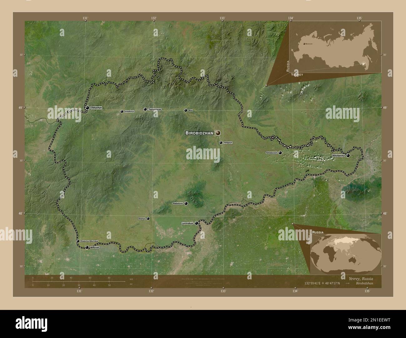 Yevrey, autonomous region of Russia. Low resolution satellite map. Locations and names of major cities of the region. Corner auxiliary location maps Stock Photohttps://www.alamy.com/image-license-details/?v=1https://www.alamy.com/yevrey-autonomous-region-of-russia-low-resolution-satellite-map-locations-and-names-of-major-cities-of-the-region-corner-auxiliary-location-maps-image517244724.html
RF2N1EEWT–Yevrey, autonomous region of Russia. Low resolution satellite map. Locations and names of major cities of the region. Corner auxiliary location maps
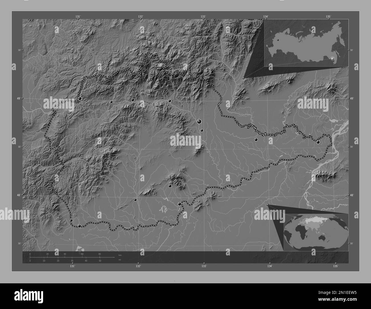 Yevrey, autonomous region of Russia. Bilevel elevation map with lakes and rivers. Locations of major cities of the region. Corner auxiliary location m Stock Photohttps://www.alamy.com/image-license-details/?v=1https://www.alamy.com/yevrey-autonomous-region-of-russia-bilevel-elevation-map-with-lakes-and-rivers-locations-of-major-cities-of-the-region-corner-auxiliary-location-m-image517244705.html
RF2N1EEW5–Yevrey, autonomous region of Russia. Bilevel elevation map with lakes and rivers. Locations of major cities of the region. Corner auxiliary location m
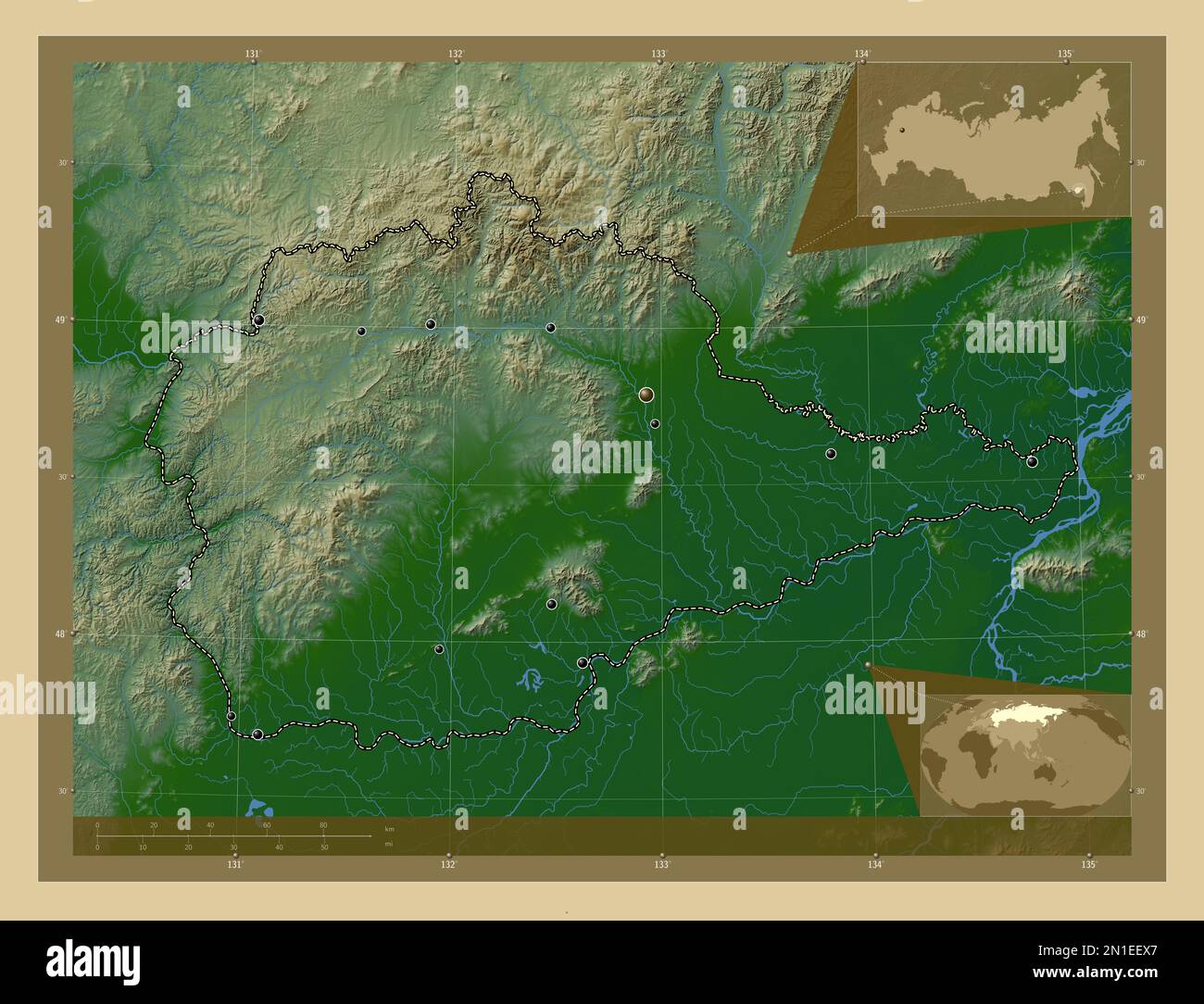 Yevrey, autonomous region of Russia. Colored elevation map with lakes and rivers. Locations of major cities of the region. Corner auxiliary location m Stock Photohttps://www.alamy.com/image-license-details/?v=1https://www.alamy.com/yevrey-autonomous-region-of-russia-colored-elevation-map-with-lakes-and-rivers-locations-of-major-cities-of-the-region-corner-auxiliary-location-m-image517244735.html
RF2N1EEX7–Yevrey, autonomous region of Russia. Colored elevation map with lakes and rivers. Locations of major cities of the region. Corner auxiliary location m
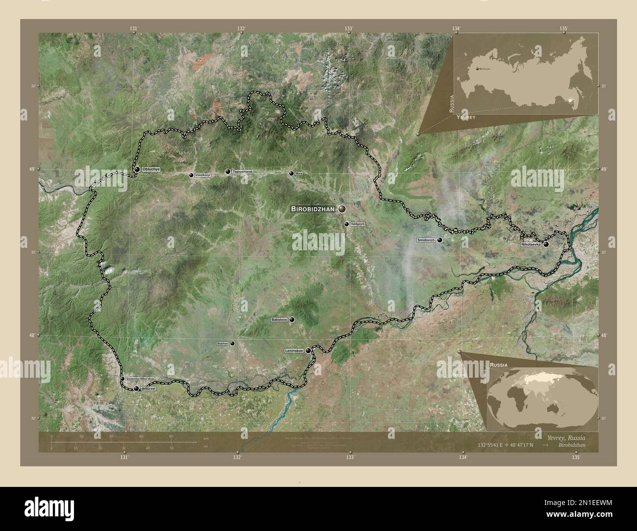 Yevrey, autonomous region of Russia. High resolution satellite map. Locations and names of major cities of the region. Corner auxiliary location maps Stock Photohttps://www.alamy.com/image-license-details/?v=1https://www.alamy.com/yevrey-autonomous-region-of-russia-high-resolution-satellite-map-locations-and-names-of-major-cities-of-the-region-corner-auxiliary-location-maps-image517244720.html
RF2N1EEWM–Yevrey, autonomous region of Russia. High resolution satellite map. Locations and names of major cities of the region. Corner auxiliary location maps
 Yevrey, autonomous region of Russia. Diagram showing the location of the region on larger-scale maps. Composition of vector frames and PNG shapes on a Stock Photohttps://www.alamy.com/image-license-details/?v=1https://www.alamy.com/yevrey-autonomous-region-of-russia-diagram-showing-the-location-of-the-region-on-larger-scale-maps-composition-of-vector-frames-and-png-shapes-on-a-image517244665.html
RF2N1EERN–Yevrey, autonomous region of Russia. Diagram showing the location of the region on larger-scale maps. Composition of vector frames and PNG shapes on a
 Yevrey, autonomous region of Russia. Satellite imagery. Shape presented against its country area with informative overlays. 3D rendering Stock Photohttps://www.alamy.com/image-license-details/?v=1https://www.alamy.com/yevrey-autonomous-region-of-russia-satellite-imagery-shape-presented-against-its-country-area-with-informative-overlays-3d-rendering-image364266155.html
RF2C4HN5F–Yevrey, autonomous region of Russia. Satellite imagery. Shape presented against its country area with informative overlays. 3D rendering
 Yevrey, autonomous region of Russia. Colored relief with lakes and rivers. Shape outlined against its country area. 3D rendering Stock Photohttps://www.alamy.com/image-license-details/?v=1https://www.alamy.com/yevrey-autonomous-region-of-russia-colored-relief-with-lakes-and-rivers-shape-outlined-against-its-country-area-3d-rendering-image364266160.html
RF2C4HN5M–Yevrey, autonomous region of Russia. Colored relief with lakes and rivers. Shape outlined against its country area. 3D rendering
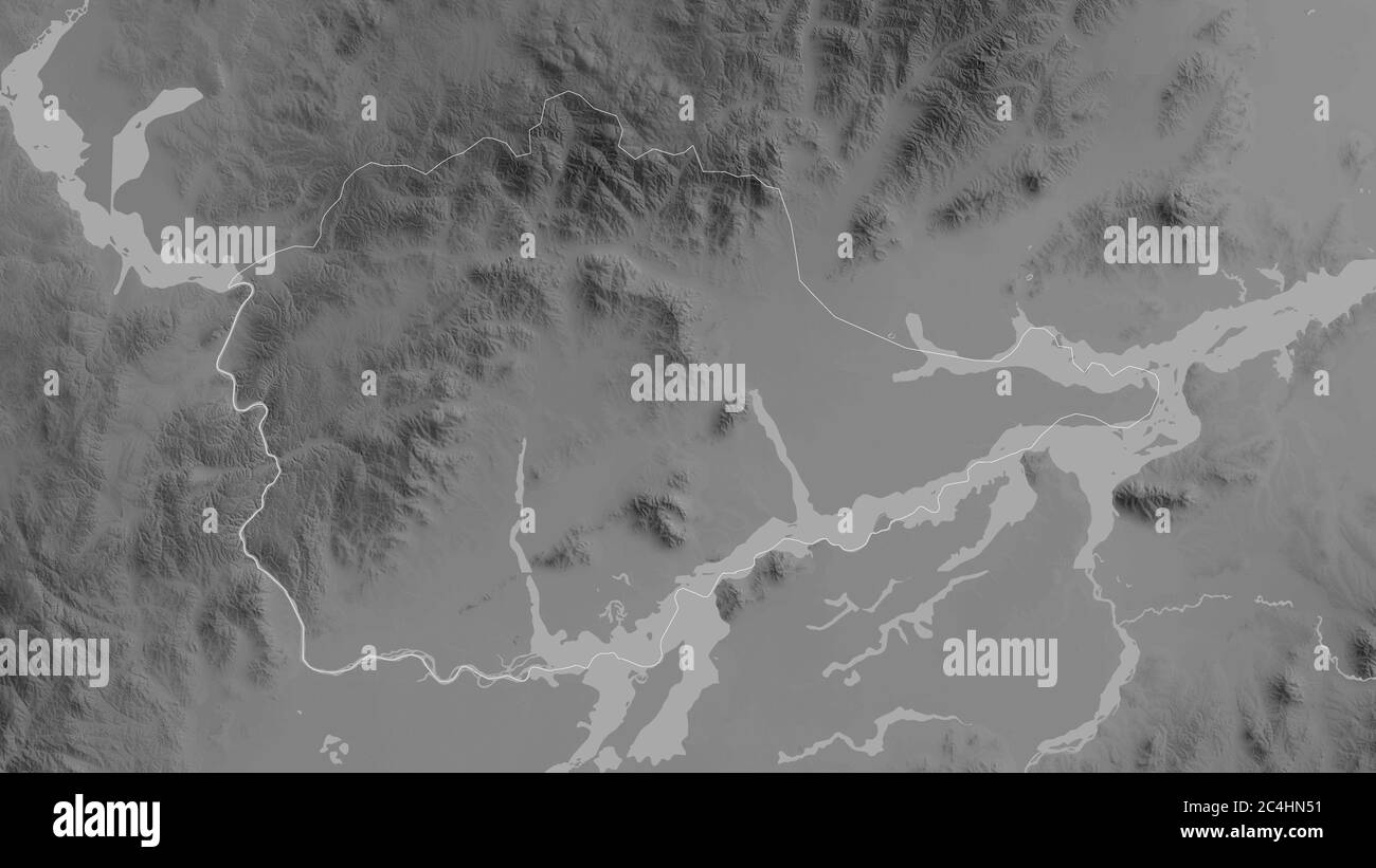 Yevrey, autonomous region of Russia. Grayscaled map with lakes and rivers. Shape outlined against its country area. 3D rendering Stock Photohttps://www.alamy.com/image-license-details/?v=1https://www.alamy.com/yevrey-autonomous-region-of-russia-grayscaled-map-with-lakes-and-rivers-shape-outlined-against-its-country-area-3d-rendering-image364266141.html
RF2C4HN51–Yevrey, autonomous region of Russia. Grayscaled map with lakes and rivers. Shape outlined against its country area. 3D rendering
 Shape of Yevrey, autonomous region of Russia, with its capital isolated on a solid color background. Satellite imagery. 3D rendering Stock Photohttps://www.alamy.com/image-license-details/?v=1https://www.alamy.com/shape-of-yevrey-autonomous-region-of-russia-with-its-capital-isolated-on-a-solid-color-background-satellite-imagery-3d-rendering-image368590401.html
RF2CBJMPW–Shape of Yevrey, autonomous region of Russia, with its capital isolated on a solid color background. Satellite imagery. 3D rendering
 Desaturated shape of Russia with its capital, main regional division and the separated Yevrey area. Labels. Bilevel elevation map. 3D rendering Stock Photohttps://www.alamy.com/image-license-details/?v=1https://www.alamy.com/desaturated-shape-of-russia-with-its-capital-main-regional-division-and-the-separated-yevrey-area-labels-bilevel-elevation-map-3d-rendering-image368590336.html
RF2CBJMMG–Desaturated shape of Russia with its capital, main regional division and the separated Yevrey area. Labels. Bilevel elevation map. 3D rendering
 Desaturated shape of Russia with its capital, main regional division and the separated Yevrey area. Labels. Colored elevation map. 3D rendering Stock Photohttps://www.alamy.com/image-license-details/?v=1https://www.alamy.com/desaturated-shape-of-russia-with-its-capital-main-regional-division-and-the-separated-yevrey-area-labels-colored-elevation-map-3d-rendering-image368590327.html
RF2CBJMM7–Desaturated shape of Russia with its capital, main regional division and the separated Yevrey area. Labels. Colored elevation map. 3D rendering
 Shape of Yevrey, autonomous region of Russia, with its capital isolated on solid background. Distance scale, region preview and labels. Topographic re Stock Photohttps://www.alamy.com/image-license-details/?v=1https://www.alamy.com/shape-of-yevrey-autonomous-region-of-russia-with-its-capital-isolated-on-solid-background-distance-scale-region-preview-and-labels-topographic-re-image368590382.html
RF2CBJMP6–Shape of Yevrey, autonomous region of Russia, with its capital isolated on solid background. Distance scale, region preview and labels. Topographic re
 Shape of Yevrey, autonomous region of Russia, with its capital isolated on solid background. Distance scale, region preview and labels. Composition of Stock Photohttps://www.alamy.com/image-license-details/?v=1https://www.alamy.com/shape-of-yevrey-autonomous-region-of-russia-with-its-capital-isolated-on-solid-background-distance-scale-region-preview-and-labels-composition-of-image368590338.html
RF2CBJMMJ–Shape of Yevrey, autonomous region of Russia, with its capital isolated on solid background. Distance scale, region preview and labels. Composition of
 Desaturated shape of Russia with its capital, main regional division and the separated Yevrey area. Labels. Topographic relief map. 3D rendering Stock Photohttps://www.alamy.com/image-license-details/?v=1https://www.alamy.com/desaturated-shape-of-russia-with-its-capital-main-regional-division-and-the-separated-yevrey-area-labels-topographic-relief-map-3d-rendering-image368590377.html
RF2CBJMP1–Desaturated shape of Russia with its capital, main regional division and the separated Yevrey area. Labels. Topographic relief map. 3D rendering
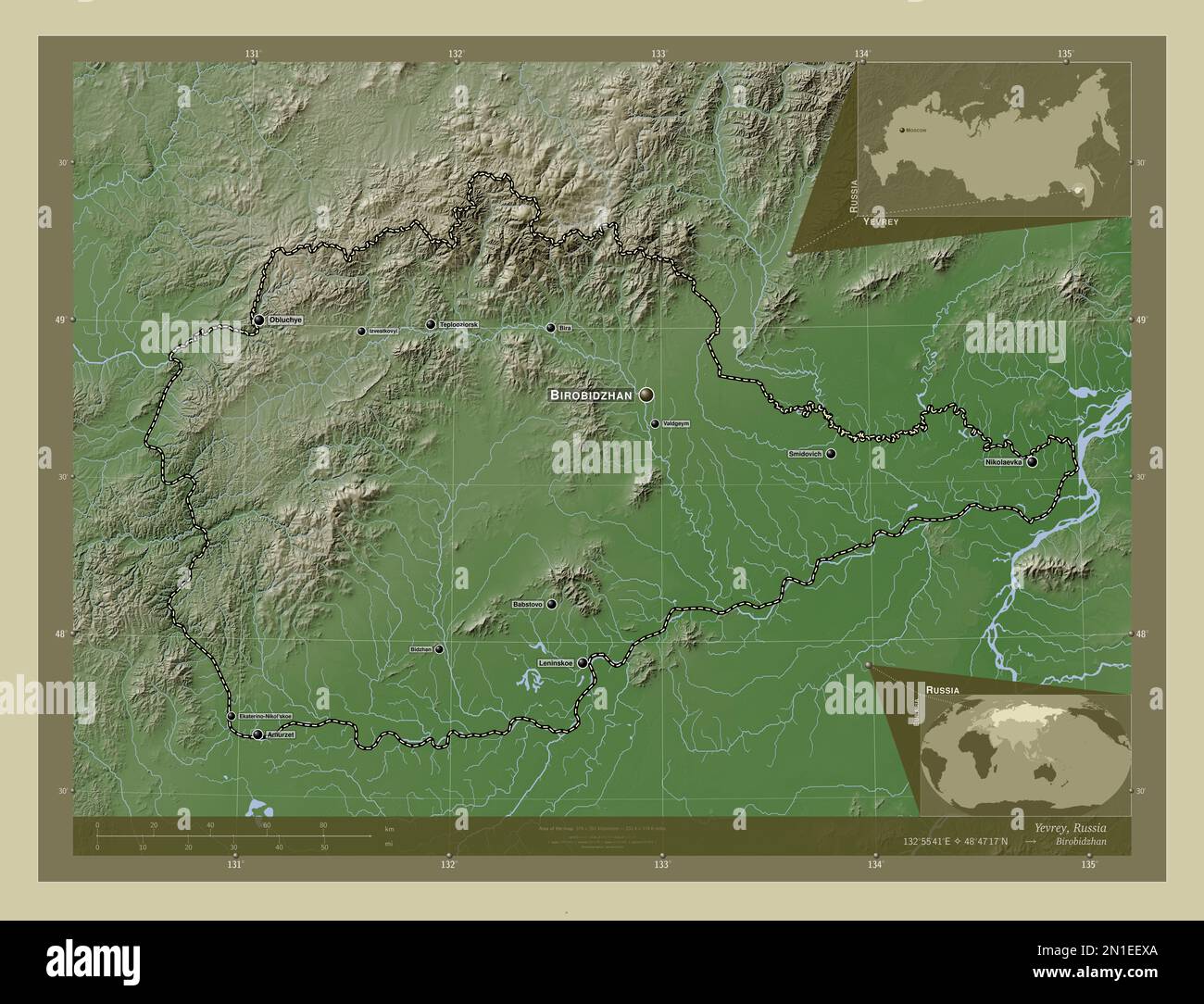 Yevrey, autonomous region of Russia. Elevation map colored in wiki style with lakes and rivers. Locations and names of major cities of the region. Cor Stock Photohttps://www.alamy.com/image-license-details/?v=1https://www.alamy.com/yevrey-autonomous-region-of-russia-elevation-map-colored-in-wiki-style-with-lakes-and-rivers-locations-and-names-of-major-cities-of-the-region-cor-image517244738.html
RF2N1EEXA–Yevrey, autonomous region of Russia. Elevation map colored in wiki style with lakes and rivers. Locations and names of major cities of the region. Cor
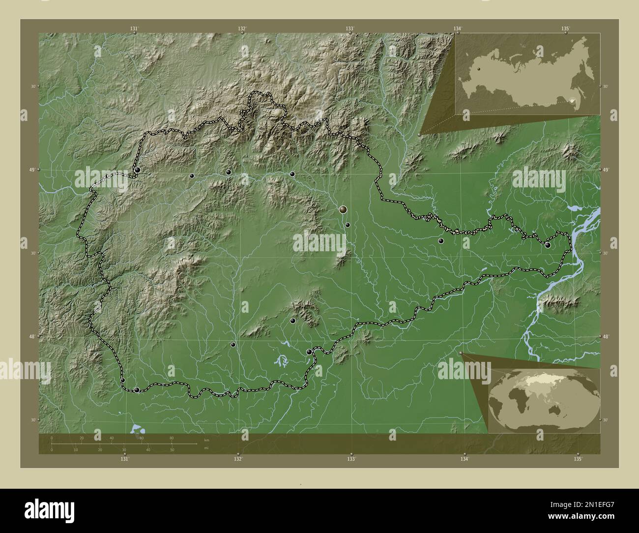 Yevrey, autonomous region of Russia. Elevation map colored in wiki style with lakes and rivers. Locations of major cities of the region. Corner auxili Stock Photohttps://www.alamy.com/image-license-details/?v=1https://www.alamy.com/yevrey-autonomous-region-of-russia-elevation-map-colored-in-wiki-style-with-lakes-and-rivers-locations-of-major-cities-of-the-region-corner-auxili-image517245239.html
RF2N1EFG7–Yevrey, autonomous region of Russia. Elevation map colored in wiki style with lakes and rivers. Locations of major cities of the region. Corner auxili
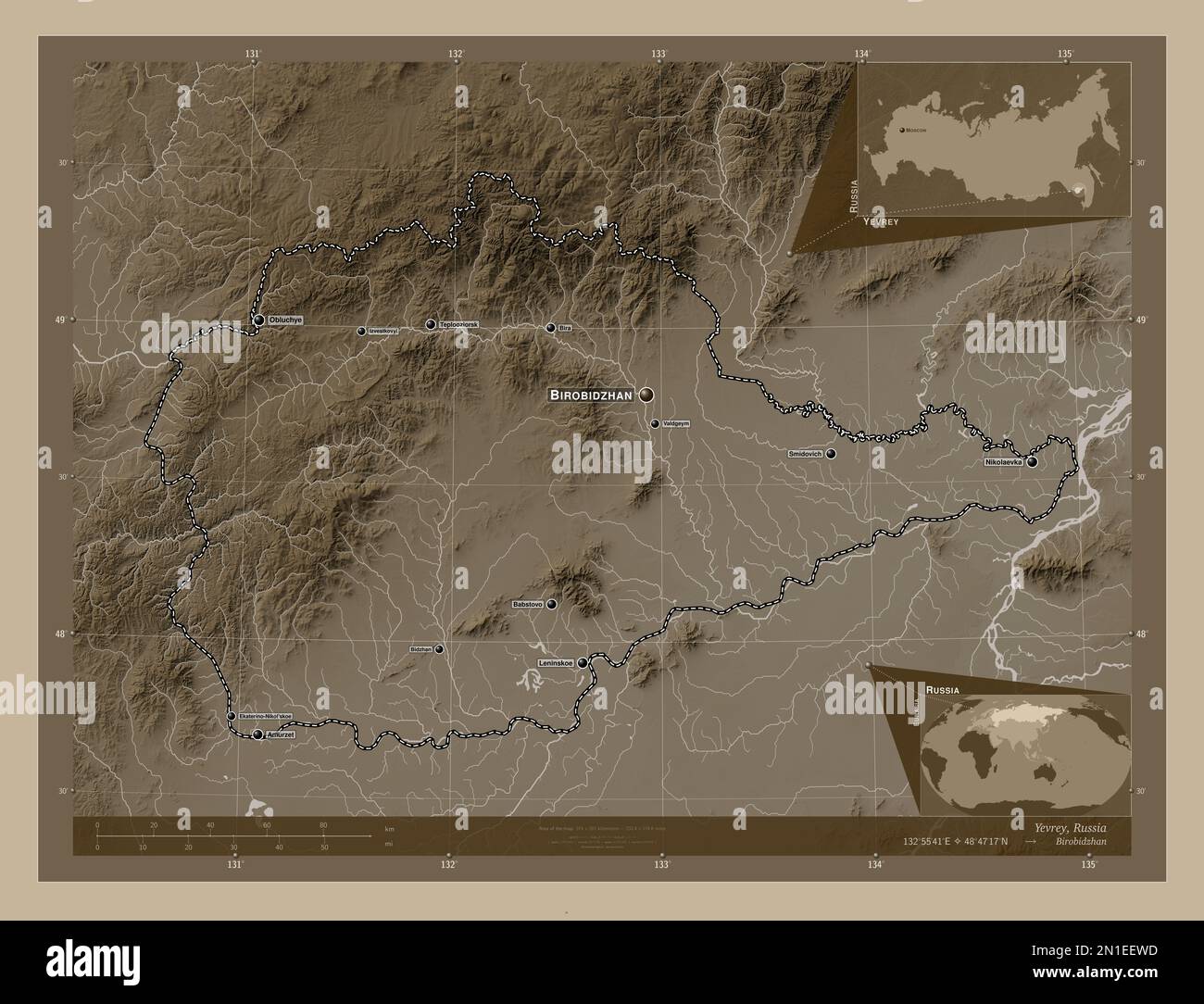 Yevrey, autonomous region of Russia. Elevation map colored in sepia tones with lakes and rivers. Locations and names of major cities of the region. Co Stock Photohttps://www.alamy.com/image-license-details/?v=1https://www.alamy.com/yevrey-autonomous-region-of-russia-elevation-map-colored-in-sepia-tones-with-lakes-and-rivers-locations-and-names-of-major-cities-of-the-region-co-image517244713.html
RF2N1EEWD–Yevrey, autonomous region of Russia. Elevation map colored in sepia tones with lakes and rivers. Locations and names of major cities of the region. Co
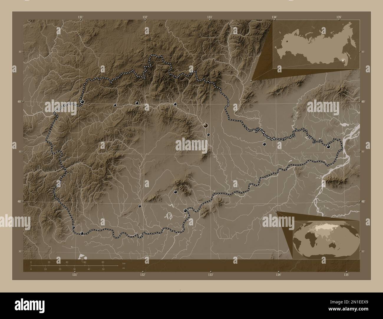 Yevrey, autonomous region of Russia. Elevation map colored in sepia tones with lakes and rivers. Locations of major cities of the region. Corner auxil Stock Photohttps://www.alamy.com/image-license-details/?v=1https://www.alamy.com/yevrey-autonomous-region-of-russia-elevation-map-colored-in-sepia-tones-with-lakes-and-rivers-locations-of-major-cities-of-the-region-corner-auxil-image517244737.html
RF2N1EEX9–Yevrey, autonomous region of Russia. Elevation map colored in sepia tones with lakes and rivers. Locations of major cities of the region. Corner auxil
 Yevrey, autonomous region of Russia. Colored shader data with lakes and rivers. Shape outlined against its country area. 3D rendering Stock Photohttps://www.alamy.com/image-license-details/?v=1https://www.alamy.com/yevrey-autonomous-region-of-russia-colored-shader-data-with-lakes-and-rivers-shape-outlined-against-its-country-area-3d-rendering-image364266135.html
RF2C4HN4R–Yevrey, autonomous region of Russia. Colored shader data with lakes and rivers. Shape outlined against its country area. 3D rendering
 Yevrey, autonomous region of Russia. Patterned solids with lakes and rivers. Shape presented against its country area with informative overlays. 3D re Stock Photohttps://www.alamy.com/image-license-details/?v=1https://www.alamy.com/yevrey-autonomous-region-of-russia-patterned-solids-with-lakes-and-rivers-shape-presented-against-its-country-area-with-informative-overlays-3d-re-image364266170.html
RF2C4HN62–Yevrey, autonomous region of Russia. Patterned solids with lakes and rivers. Shape presented against its country area with informative overlays. 3D re
 Shape of Yevrey, autonomous region of Russia, with its capital isolated on a solid color background. Bilevel elevation map. 3D rendering Stock Photohttps://www.alamy.com/image-license-details/?v=1https://www.alamy.com/shape-of-yevrey-autonomous-region-of-russia-with-its-capital-isolated-on-a-solid-color-background-bilevel-elevation-map-3d-rendering-image368590305.html
RF2CBJMKD–Shape of Yevrey, autonomous region of Russia, with its capital isolated on a solid color background. Bilevel elevation map. 3D rendering
 Shape of Yevrey, autonomous region of Russia, with its capital isolated on a solid color background. Topographic relief map. 3D rendering Stock Photohttps://www.alamy.com/image-license-details/?v=1https://www.alamy.com/shape-of-yevrey-autonomous-region-of-russia-with-its-capital-isolated-on-a-solid-color-background-topographic-relief-map-3d-rendering-image368590370.html
RF2CBJMNP–Shape of Yevrey, autonomous region of Russia, with its capital isolated on a solid color background. Topographic relief map. 3D rendering
 Shape of Yevrey, autonomous region of Russia, with its capital isolated on a solid color background. Colored elevation map. 3D rendering Stock Photohttps://www.alamy.com/image-license-details/?v=1https://www.alamy.com/shape-of-yevrey-autonomous-region-of-russia-with-its-capital-isolated-on-a-solid-color-background-colored-elevation-map-3d-rendering-image368590307.html
RF2CBJMKF–Shape of Yevrey, autonomous region of Russia, with its capital isolated on a solid color background. Colored elevation map. 3D rendering
 Shape of Yevrey, autonomous region of Russia, with its capital isolated on a solid color background. Composition of patterned textures. 3D rendering Stock Photohttps://www.alamy.com/image-license-details/?v=1https://www.alamy.com/shape-of-yevrey-autonomous-region-of-russia-with-its-capital-isolated-on-a-solid-color-background-composition-of-patterned-textures-3d-rendering-image368590341.html
RF2CBJMMN–Shape of Yevrey, autonomous region of Russia, with its capital isolated on a solid color background. Composition of patterned textures. 3D rendering
 Shape of Yevrey, autonomous region of Russia, with its capital isolated on solid background. Distance scale, region preview and labels. Satellite imag Stock Photohttps://www.alamy.com/image-license-details/?v=1https://www.alamy.com/shape-of-yevrey-autonomous-region-of-russia-with-its-capital-isolated-on-solid-background-distance-scale-region-preview-and-labels-satellite-imag-image368590384.html
RF2CBJMP8–Shape of Yevrey, autonomous region of Russia, with its capital isolated on solid background. Distance scale, region preview and labels. Satellite imag
 Shape of Yevrey, autonomous region of Russia, with its capital isolated on solid background. Distance scale, region preview and labels. Bilevel elevat Stock Photohttps://www.alamy.com/image-license-details/?v=1https://www.alamy.com/shape-of-yevrey-autonomous-region-of-russia-with-its-capital-isolated-on-solid-background-distance-scale-region-preview-and-labels-bilevel-elevat-image368590312.html
RF2CBJMKM–Shape of Yevrey, autonomous region of Russia, with its capital isolated on solid background. Distance scale, region preview and labels. Bilevel elevat
 Shape of Yevrey, autonomous region of Russia, with its capital isolated on solid background. Distance scale, region preview and labels. Colored elevat Stock Photohttps://www.alamy.com/image-license-details/?v=1https://www.alamy.com/shape-of-yevrey-autonomous-region-of-russia-with-its-capital-isolated-on-solid-background-distance-scale-region-preview-and-labels-colored-elevat-image368590304.html
RF2CBJMKC–Shape of Yevrey, autonomous region of Russia, with its capital isolated on solid background. Distance scale, region preview and labels. Colored elevat
 Zoom in on Yevrey (autonomous region of Russia) outlined. Oblique perspective. Topographic relief map with surface waters. 3D rendering Stock Photohttps://www.alamy.com/image-license-details/?v=1https://www.alamy.com/zoom-in-on-yevrey-autonomous-region-of-russia-outlined-oblique-perspective-topographic-relief-map-with-surface-waters-3d-rendering-image364332329.html
RF2C4MNGW–Zoom in on Yevrey (autonomous region of Russia) outlined. Oblique perspective. Topographic relief map with surface waters. 3D rendering
 Zoom in on Yevrey (autonomous region of Russia) outlined. Oblique perspective. Bilevel elevation map with surface waters. 3D rendering Stock Photohttps://www.alamy.com/image-license-details/?v=1https://www.alamy.com/zoom-in-on-yevrey-autonomous-region-of-russia-outlined-oblique-perspective-bilevel-elevation-map-with-surface-waters-3d-rendering-image364332307.html
RF2C4MNG3–Zoom in on Yevrey (autonomous region of Russia) outlined. Oblique perspective. Bilevel elevation map with surface waters. 3D rendering
 Zoom in on Yevrey (autonomous region of Russia) outlined. Oblique perspective. Colored and bumped map of the administrative division with surface wate Stock Photohttps://www.alamy.com/image-license-details/?v=1https://www.alamy.com/zoom-in-on-yevrey-autonomous-region-of-russia-outlined-oblique-perspective-colored-and-bumped-map-of-the-administrative-division-with-surface-wate-image364332332.html
RF2C4MNH0–Zoom in on Yevrey (autonomous region of Russia) outlined. Oblique perspective. Colored and bumped map of the administrative division with surface wate
 Zoom in on Yevrey (autonomous region of Russia) extruded. Oblique perspective. Topographic relief map with surface waters. 3D rendering Stock Photohttps://www.alamy.com/image-license-details/?v=1https://www.alamy.com/zoom-in-on-yevrey-autonomous-region-of-russia-extruded-oblique-perspective-topographic-relief-map-with-surface-waters-3d-rendering-image364332314.html
RF2C4MNGA–Zoom in on Yevrey (autonomous region of Russia) extruded. Oblique perspective. Topographic relief map with surface waters. 3D rendering
 Zoom in on Yevrey (autonomous region of Russia) extruded. Oblique perspective. Colored and bumped map of the administrative division with surface wate Stock Photohttps://www.alamy.com/image-license-details/?v=1https://www.alamy.com/zoom-in-on-yevrey-autonomous-region-of-russia-extruded-oblique-perspective-colored-and-bumped-map-of-the-administrative-division-with-surface-wate-image364332338.html
RF2C4MNH6–Zoom in on Yevrey (autonomous region of Russia) extruded. Oblique perspective. Colored and bumped map of the administrative division with surface wate
 Zoom in on Yevrey (autonomous region of Russia) extruded. Oblique perspective. Bilevel elevation map with surface waters. 3D rendering Stock Photohttps://www.alamy.com/image-license-details/?v=1https://www.alamy.com/zoom-in-on-yevrey-autonomous-region-of-russia-extruded-oblique-perspective-bilevel-elevation-map-with-surface-waters-3d-rendering-image364332343.html
RF2C4MNHB–Zoom in on Yevrey (autonomous region of Russia) extruded. Oblique perspective. Bilevel elevation map with surface waters. 3D rendering
 Yevrey, autonomous region of Russia. Colored shader data with lakes and rivers. Shape presented against its country area with informative overlays. 3D Stock Photohttps://www.alamy.com/image-license-details/?v=1https://www.alamy.com/yevrey-autonomous-region-of-russia-colored-shader-data-with-lakes-and-rivers-shape-presented-against-its-country-area-with-informative-overlays-3d-image364266140.html
RF2C4HN50–Yevrey, autonomous region of Russia. Colored shader data with lakes and rivers. Shape presented against its country area with informative overlays. 3D
 Yevrey, autonomous region of Russia. Colored relief with lakes and rivers. Shape presented against its country area with informative overlays. 3D rend Stock Photohttps://www.alamy.com/image-license-details/?v=1https://www.alamy.com/yevrey-autonomous-region-of-russia-colored-relief-with-lakes-and-rivers-shape-presented-against-its-country-area-with-informative-overlays-3d-rend-image364266139.html
RF2C4HN4Y–Yevrey, autonomous region of Russia. Colored relief with lakes and rivers. Shape presented against its country area with informative overlays. 3D rend
 Yevrey, autonomous region of Russia. Grayscaled map with lakes and rivers. Shape presented against its country area with informative overlays. 3D rend Stock Photohttps://www.alamy.com/image-license-details/?v=1https://www.alamy.com/yevrey-autonomous-region-of-russia-grayscaled-map-with-lakes-and-rivers-shape-presented-against-its-country-area-with-informative-overlays-3d-rend-image364266136.html
RF2C4HN4T–Yevrey, autonomous region of Russia. Grayscaled map with lakes and rivers. Shape presented against its country area with informative overlays. 3D rend
 Area of Yevrey, autonomous region of Russia, isolated on a solid background in a georeferenced bounding box. Labels. Composition of patterned textures Stock Photohttps://www.alamy.com/image-license-details/?v=1https://www.alamy.com/area-of-yevrey-autonomous-region-of-russia-isolated-on-a-solid-background-in-a-georeferenced-bounding-box-labels-composition-of-patterned-textures-image368590412.html
RF2CBJMR8–Area of Yevrey, autonomous region of Russia, isolated on a solid background in a georeferenced bounding box. Labels. Composition of patterned textures
 Area of Yevrey, autonomous region of Russia, isolated on a solid background in a georeferenced bounding box. Labels. Satellite imagery. 3D rendering Stock Photohttps://www.alamy.com/image-license-details/?v=1https://www.alamy.com/area-of-yevrey-autonomous-region-of-russia-isolated-on-a-solid-background-in-a-georeferenced-bounding-box-labels-satellite-imagery-3d-rendering-image368590399.html
RF2CBJMPR–Area of Yevrey, autonomous region of Russia, isolated on a solid background in a georeferenced bounding box. Labels. Satellite imagery. 3D rendering
 Area of Yevrey, autonomous region of Russia, isolated on a solid background in a georeferenced bounding box. Labels. Topographic relief map. 3D render Stock Photohttps://www.alamy.com/image-license-details/?v=1https://www.alamy.com/area-of-yevrey-autonomous-region-of-russia-isolated-on-a-solid-background-in-a-georeferenced-bounding-box-labels-topographic-relief-map-3d-render-image368590378.html
RF2CBJMP2–Area of Yevrey, autonomous region of Russia, isolated on a solid background in a georeferenced bounding box. Labels. Topographic relief map. 3D render
 Area of Yevrey, autonomous region of Russia, isolated on a solid background in a georeferenced bounding box. Labels. Colored elevation map. 3D renderi Stock Photohttps://www.alamy.com/image-license-details/?v=1https://www.alamy.com/area-of-yevrey-autonomous-region-of-russia-isolated-on-a-solid-background-in-a-georeferenced-bounding-box-labels-colored-elevation-map-3d-renderi-image368590328.html
RF2CBJMM8–Area of Yevrey, autonomous region of Russia, isolated on a solid background in a georeferenced bounding box. Labels. Colored elevation map. 3D renderi
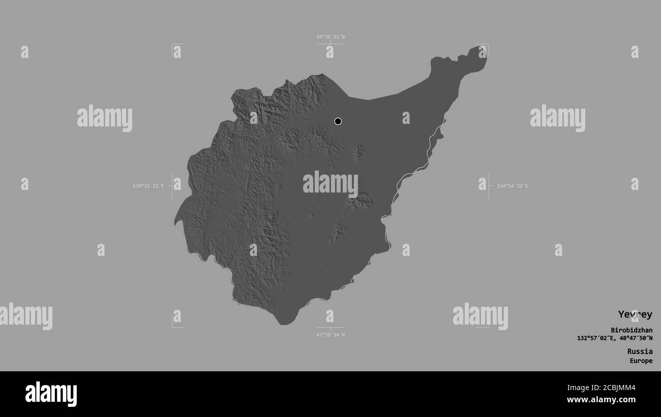 Area of Yevrey, autonomous region of Russia, isolated on a solid background in a georeferenced bounding box. Labels. Bilevel elevation map. 3D renderi Stock Photohttps://www.alamy.com/image-license-details/?v=1https://www.alamy.com/area-of-yevrey-autonomous-region-of-russia-isolated-on-a-solid-background-in-a-georeferenced-bounding-box-labels-bilevel-elevation-map-3d-renderi-image368590324.html
RF2CBJMM4–Area of Yevrey, autonomous region of Russia, isolated on a solid background in a georeferenced bounding box. Labels. Bilevel elevation map. 3D renderi