Quick filters:
Yorkshire aerial Stock Photos and Images
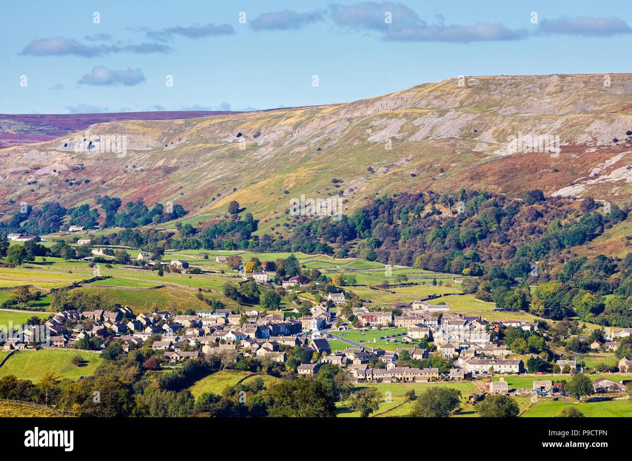 Aerial view of the Yorkshire village of Reeth below Fremington Edge in the Yorkshire Dales National Park, England, UK Stock Photohttps://www.alamy.com/image-license-details/?v=1https://www.alamy.com/aerial-view-of-the-yorkshire-village-of-reeth-below-fremington-edge-in-the-yorkshire-dales-national-park-england-uk-image212339197.html
RFP9CTPN–Aerial view of the Yorkshire village of Reeth below Fremington Edge in the Yorkshire Dales National Park, England, UK
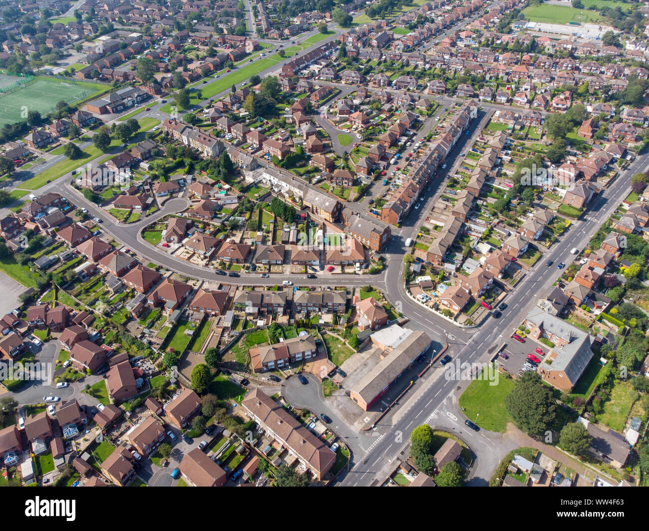 Aerial photo of the British town of Middleton in Leeds West Yorkshire showing typical suburban housing estates with rows of houses, Stock Photohttps://www.alamy.com/image-license-details/?v=1https://www.alamy.com/aerial-photo-of-the-british-town-of-middleton-in-leeds-west-yorkshire-showing-typical-suburban-housing-estates-with-rows-of-houses-image273621659.html
RFWW4F63–Aerial photo of the British town of Middleton in Leeds West Yorkshire showing typical suburban housing estates with rows of houses,
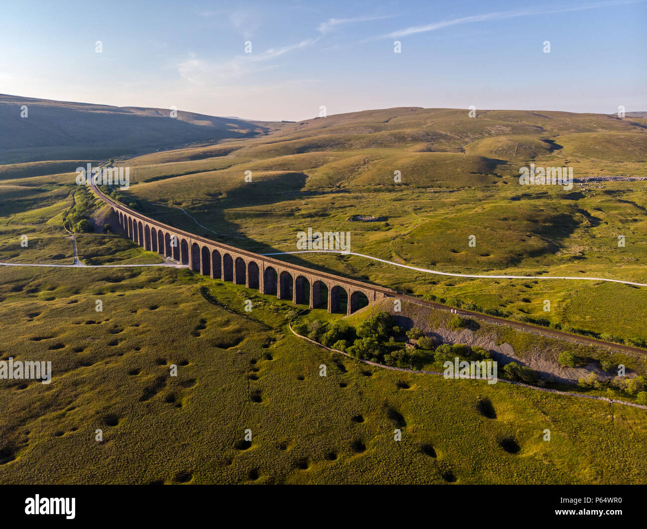 Yorkshire Dales Ribblehead Viaduct Drone Aerial View Stock Photohttps://www.alamy.com/image-license-details/?v=1https://www.alamy.com/yorkshire-dales-ribblehead-viaduct-drone-aerial-view-image210320404.html
RFP64WR0–Yorkshire Dales Ribblehead Viaduct Drone Aerial View
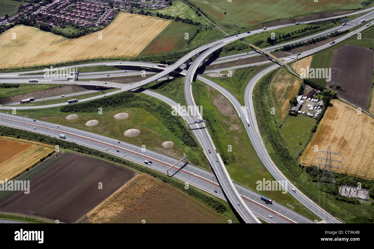 aerial view of the A1 and M62 motorway junction near Ferrybridge in West Yorkshire Stock Photohttps://www.alamy.com/image-license-details/?v=1https://www.alamy.com/stock-photo-aerial-view-of-the-a1-and-m62-motorway-junction-near-ferrybridge-in-49385067.html
RMCT9K4B–aerial view of the A1 and M62 motorway junction near Ferrybridge in West Yorkshire
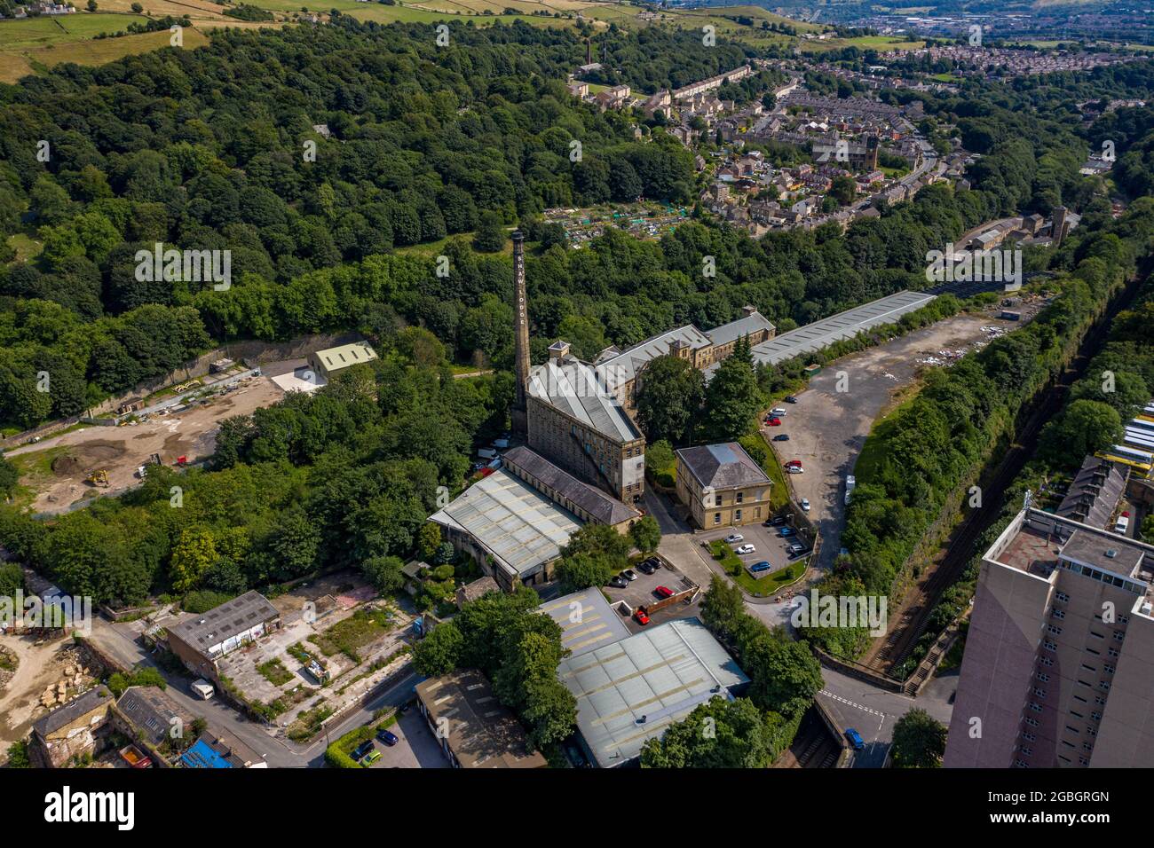
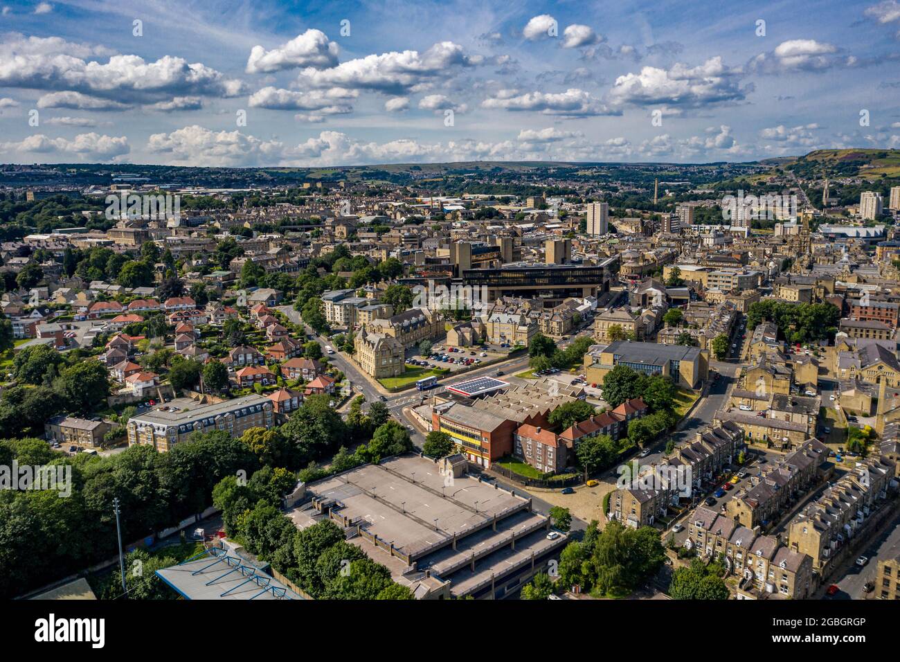 Halifax West Yorkshire Aerial Drone Nestle Train Station Stock Photohttps://www.alamy.com/image-license-details/?v=1https://www.alamy.com/halifax-west-yorkshire-aerial-drone-nestle-train-station-image437390150.html
RM2GBGRGP–Halifax West Yorkshire Aerial Drone Nestle Train Station
 Aerial photograph of Hebden Bridge West Yorkshire Stock Photohttps://www.alamy.com/image-license-details/?v=1https://www.alamy.com/stock-photo-aerial-photograph-of-hebden-bridge-west-yorkshire-53321231.html
RFD2MYNK–Aerial photograph of Hebden Bridge West Yorkshire
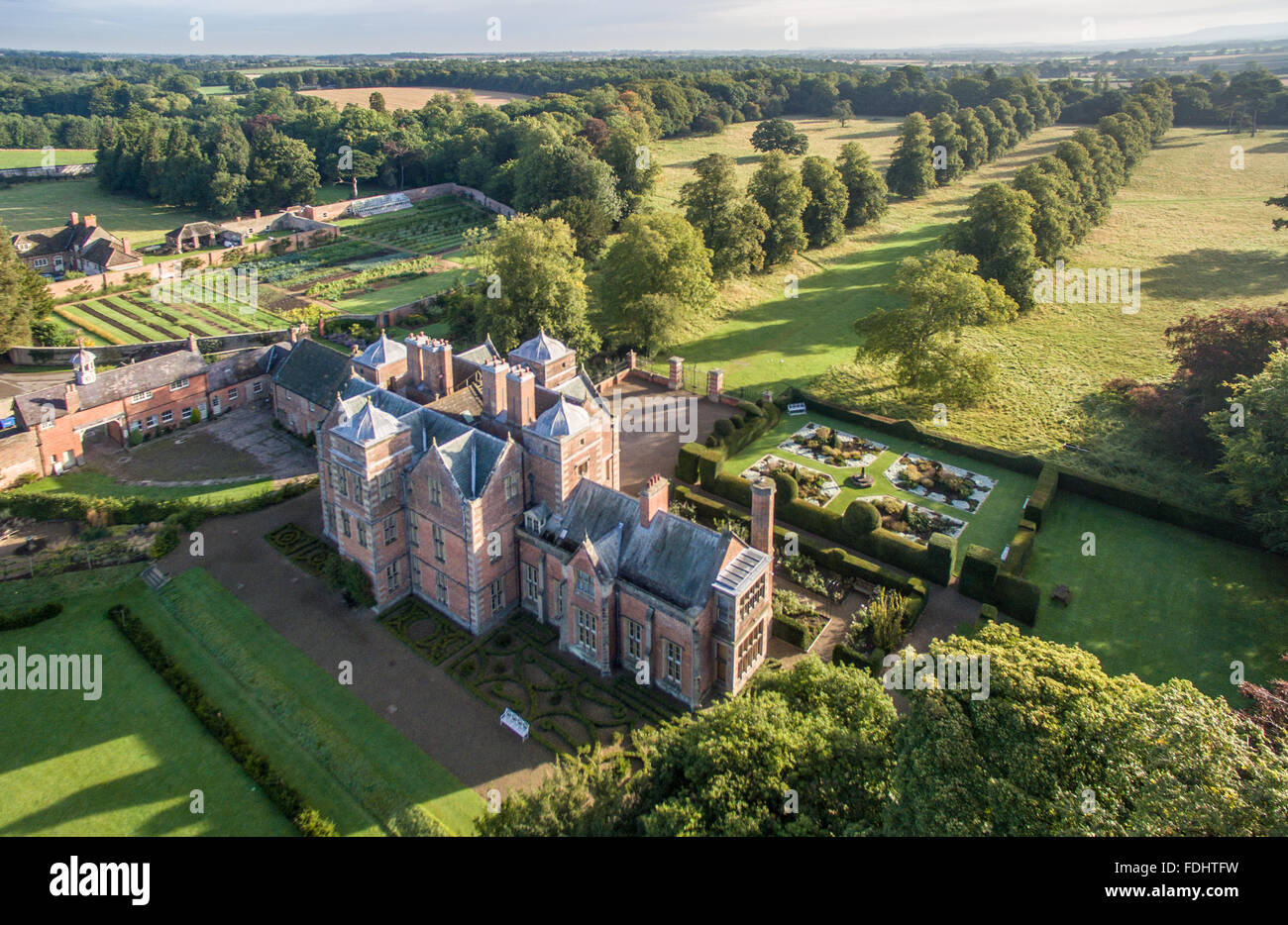 Aerial view of Kiplin Hall in North Yorkshire, UK. Stock Photohttps://www.alamy.com/image-license-details/?v=1https://www.alamy.com/stock-photo-aerial-view-of-kiplin-hall-in-north-yorkshire-uk-94434813.html
RMFDHTFW–Aerial view of Kiplin Hall in North Yorkshire, UK.
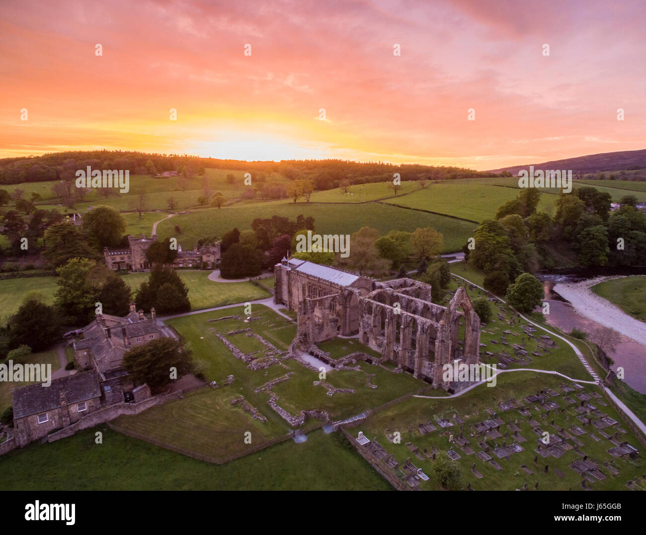 Stunning sunset at Bolton Abbey Priory in North Yorkshire Stock Photohttps://www.alamy.com/image-license-details/?v=1https://www.alamy.com/stock-photo-stunning-sunset-at-bolton-abbey-priory-in-north-yorkshire-141493643.html
RMJ65GGB–Stunning sunset at Bolton Abbey Priory in North Yorkshire
 Bridge over river near Whitby, North Yorkshire Stock Photohttps://www.alamy.com/image-license-details/?v=1https://www.alamy.com/stock-photo-bridge-over-river-near-whitby-north-yorkshire-37861550.html
RMC5GMP6–Bridge over river near Whitby, North Yorkshire
 Aerial view of New build housing estate, Whiby, North Yorkshire, England. Stock Photohttps://www.alamy.com/image-license-details/?v=1https://www.alamy.com/aerial-view-of-new-build-housing-estate-whiby-north-yorkshire-england-image615785870.html
RF2XNRD4E–Aerial view of New build housing estate, Whiby, North Yorkshire, England.
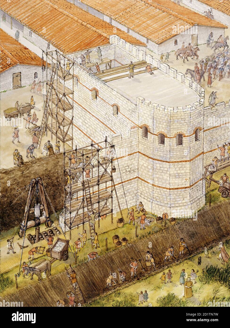 YORK, North Yorkshire. Aerial reconstruction drawing showing Roman York. Construction of interval tower c.210AD by Tracey Croft. Stock Photohttps://www.alamy.com/image-license-details/?v=1https://www.alamy.com/york-north-yorkshire-aerial-reconstruction-drawing-showing-roman-york-construction-of-interval-tower-c210ad-by-tracey-croft-image379786285.html
RM2D1TN7W–YORK, North Yorkshire. Aerial reconstruction drawing showing Roman York. Construction of interval tower c.210AD by Tracey Croft.
 Leeds city centre, West Yorkshire aerial panoramic view of the city centre looking north towards retail and offices. Leeds, Yorkshire university city Stock Photohttps://www.alamy.com/image-license-details/?v=1https://www.alamy.com/leeds-city-centre-west-yorkshire-aerial-panoramic-view-of-the-city-centre-looking-north-towards-retail-and-offices-leeds-yorkshire-university-city-image591819441.html
RF2WARKMH–Leeds city centre, West Yorkshire aerial panoramic view of the city centre looking north towards retail and offices. Leeds, Yorkshire university city
 Aerial panorama landscape of the West Yorkshire city of Wakefield in a cityscape skyline Stock Photohttps://www.alamy.com/image-license-details/?v=1https://www.alamy.com/aerial-panorama-landscape-of-the-west-yorkshire-city-of-wakefield-in-a-cityscape-skyline-image597747560.html
RF2WMDN34–Aerial panorama landscape of the West Yorkshire city of Wakefield in a cityscape skyline
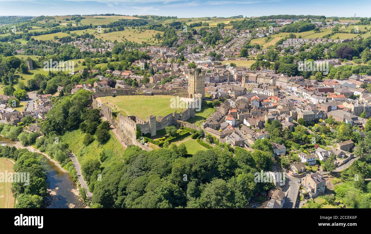 Richmond North Yorkshire Market Town Aerial view in summer. Showing Richmond Castle and River Swale gateway to Swaledale UK Stock Photohttps://www.alamy.com/image-license-details/?v=1https://www.alamy.com/richmond-north-yorkshire-market-town-aerial-view-in-summer-showing-richmond-castle-and-river-swale-gateway-to-swaledale-uk-image369116014.html
RM2CCEK6P–Richmond North Yorkshire Market Town Aerial view in summer. Showing Richmond Castle and River Swale gateway to Swaledale UK
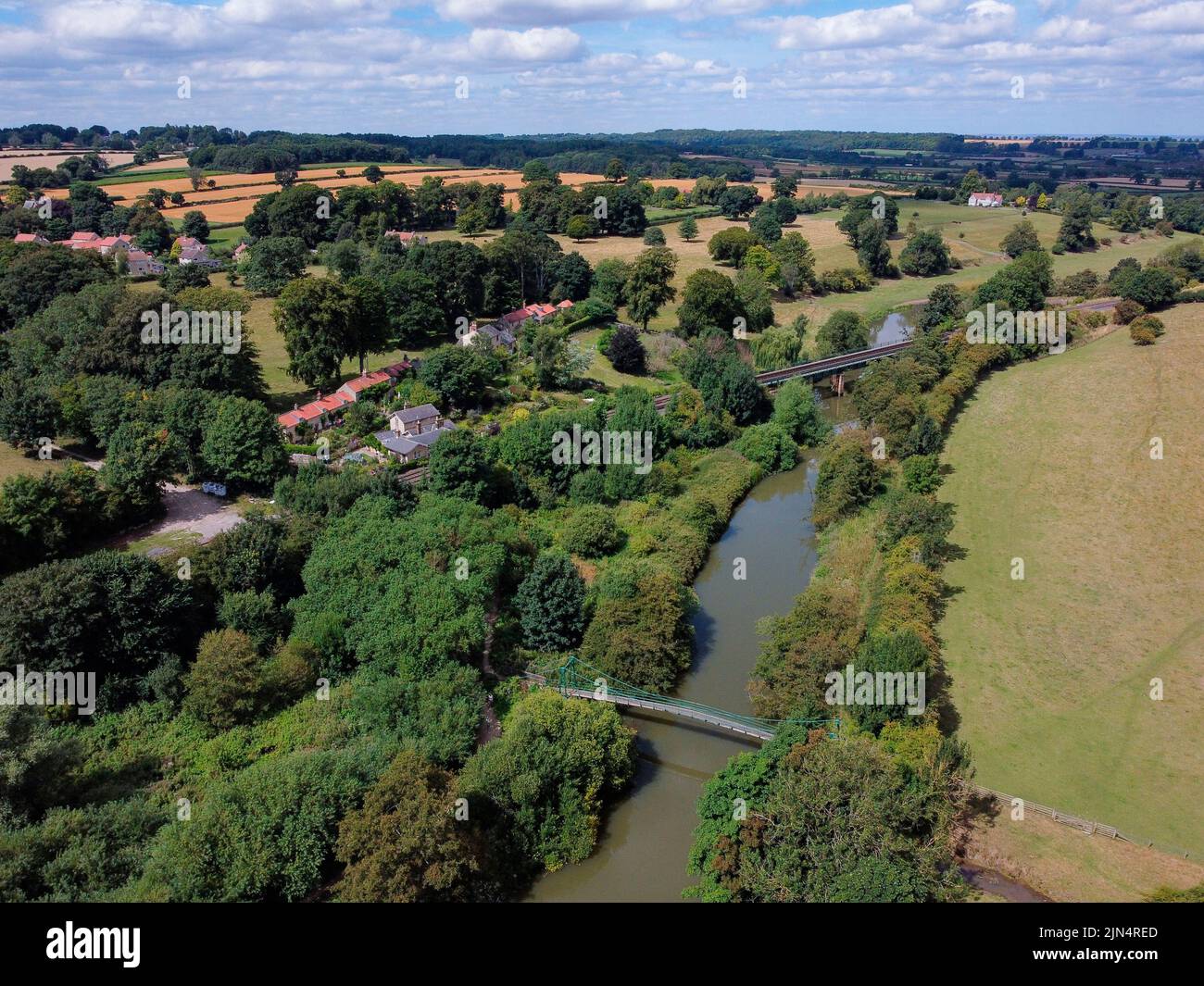 Aerial view of the River Derwent and the North Yorkshire countryside, northeast England. Stock Photohttps://www.alamy.com/image-license-details/?v=1https://www.alamy.com/aerial-view-of-the-river-derwent-and-the-north-yorkshire-countryside-northeast-england-image477693957.html
RF2JN4RED–Aerial view of the River Derwent and the North Yorkshire countryside, northeast England.
 Aerial view of Scar House Reservoir near Pately Bridge, North Yorkshire, UK Stock Photohttps://www.alamy.com/image-license-details/?v=1https://www.alamy.com/aerial-view-of-scar-house-reservoir-near-pately-bridge-north-yorkshire-uk-image247815245.html
RMTB4XTD–Aerial view of Scar House Reservoir near Pately Bridge, North Yorkshire, UK
 RNLI Lifeboat Display at Staithes North Yorkshire Stock Photohttps://www.alamy.com/image-license-details/?v=1https://www.alamy.com/rnli-lifeboat-display-at-staithes-north-yorkshire-image554963710.html
RM2R6TNTE–RNLI Lifeboat Display at Staithes North Yorkshire
 Aerial image of Pen-y-ghent mountain & the North Yorkshire countryside, with the rural village of Selside, country lanes & farmland in the foreground Stock Photohttps://www.alamy.com/image-license-details/?v=1https://www.alamy.com/aerial-image-of-pen-y-ghent-mountain-the-north-yorkshire-countryside-with-the-rural-village-of-selside-country-lanes-farmland-in-the-foreground-image601284260.html
RF2WX6T5T–Aerial image of Pen-y-ghent mountain & the North Yorkshire countryside, with the rural village of Selside, country lanes & farmland in the foreground
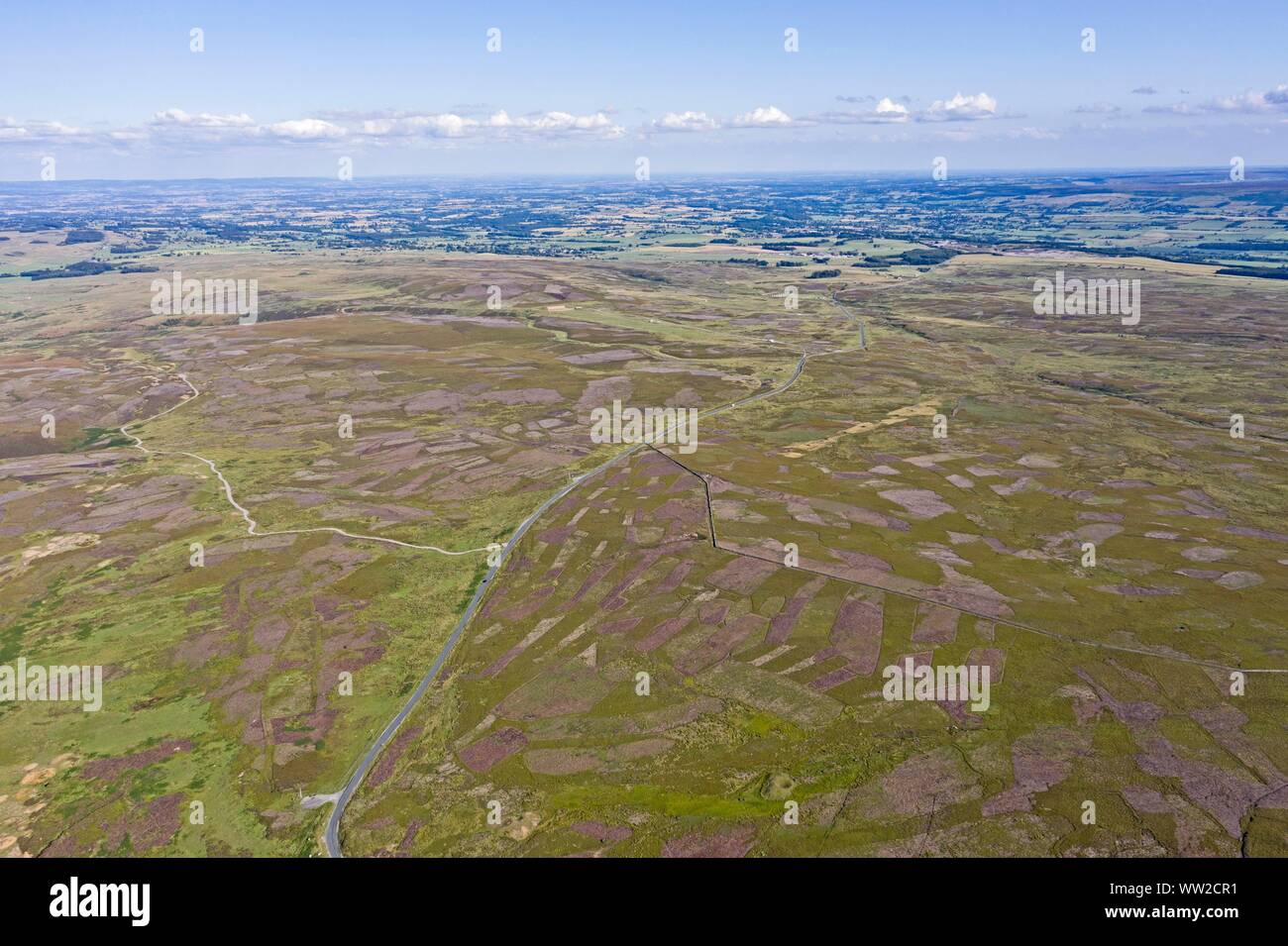 Grinton Moor above Swaledale in Yorkshire Dales, July. Aerial image showing patchwork pattern where moor has been burnt on rotation for maximising ha Stock Photohttps://www.alamy.com/image-license-details/?v=1https://www.alamy.com/grinton-moor-above-swaledale-in-yorkshire-dales-july-aerial-image-showing-patchwork-pattern-where-moor-has-been-burnt-on-rotation-for-maximising-ha-image273575877.html
RMWW2CR1–Grinton Moor above Swaledale in Yorkshire Dales, July. Aerial image showing patchwork pattern where moor has been burnt on rotation for maximising ha
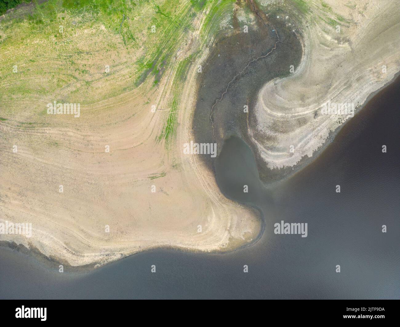 Aerial drone view of Lindley Wood Reservoir, North Yorkshire Stock Photohttps://www.alamy.com/image-license-details/?v=1https://www.alamy.com/aerial-drone-view-of-lindley-wood-reservoir-north-yorkshire-image479768390.html
RM2JTF9DA–Aerial drone view of Lindley Wood Reservoir, North Yorkshire
 Aerial photos of Sandel Castle in Wakefield in the UK, the ruins of the castle have a moat around the castle grounds, it's also covered in green grass Stock Photohttps://www.alamy.com/image-license-details/?v=1https://www.alamy.com/aerial-photos-of-sandel-castle-in-wakefield-in-the-uk-the-ruins-of-the-castle-have-a-moat-around-the-castle-grounds-its-also-covered-in-green-grass-image179633256.html
RFMC701C–Aerial photos of Sandel Castle in Wakefield in the UK, the ruins of the castle have a moat around the castle grounds, it's also covered in green grass
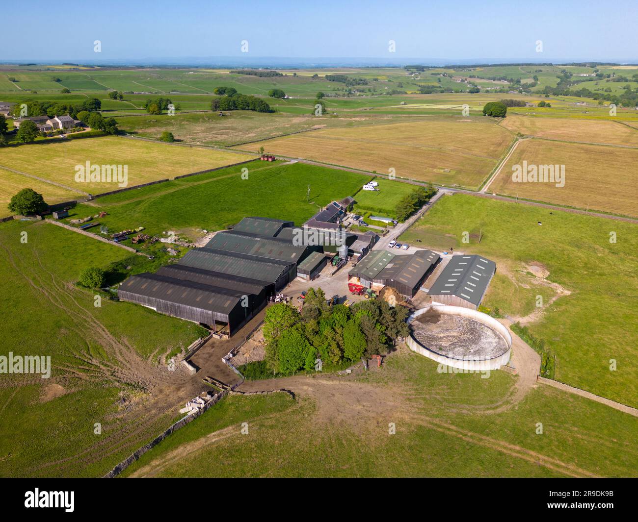 Aerial drone view of the countryside in North-Yorkshire England. There is a lot of farmland in the Yorkshire Dales. Stock Photohttps://www.alamy.com/image-license-details/?v=1https://www.alamy.com/aerial-drone-view-of-the-countryside-in-north-yorkshire-england-there-is-a-lot-of-farmland-in-the-yorkshire-dales-image556564215.html
RF2R9DK9B–Aerial drone view of the countryside in North-Yorkshire England. There is a lot of farmland in the Yorkshire Dales.
 aerial view of Bradford city centre, West Yorkshire 2018 Stock Photohttps://www.alamy.com/image-license-details/?v=1https://www.alamy.com/aerial-view-of-bradford-city-centre-west-yorkshire-2018-image185202784.html
RMMN8M14–aerial view of Bradford city centre, West Yorkshire 2018
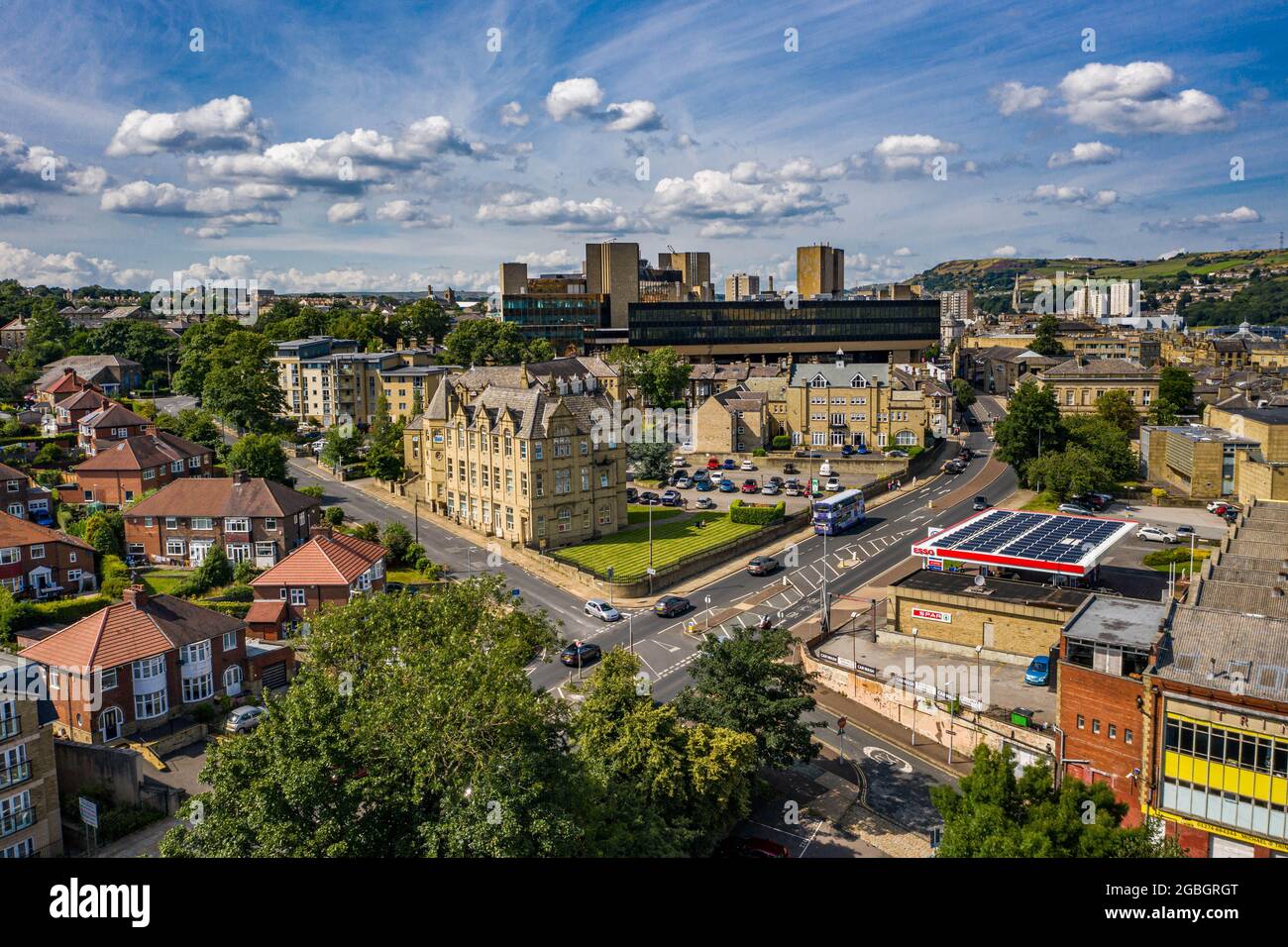 Halifax West Yorkshire Aerial Drone Nestle Train Station Stock Photohttps://www.alamy.com/image-license-details/?v=1https://www.alamy.com/halifax-west-yorkshire-aerial-drone-nestle-train-station-image437390152.html
RM2GBGRGT–Halifax West Yorkshire Aerial Drone Nestle Train Station
 Aerial photograph of Leyburn North Yorkshire Stock Photohttps://www.alamy.com/image-license-details/?v=1https://www.alamy.com/stock-photo-aerial-photograph-of-leyburn-north-yorkshire-53322943.html
RFD2N1XR–Aerial photograph of Leyburn North Yorkshire
 Aerial shoot of Ardagh Glass in Barnsley, South Yorkshire. Stock Photohttps://www.alamy.com/image-license-details/?v=1https://www.alamy.com/aerial-shoot-of-ardagh-glass-in-barnsley-south-yorkshire-image460015917.html
RM2HMBEYW–Aerial shoot of Ardagh Glass in Barnsley, South Yorkshire.
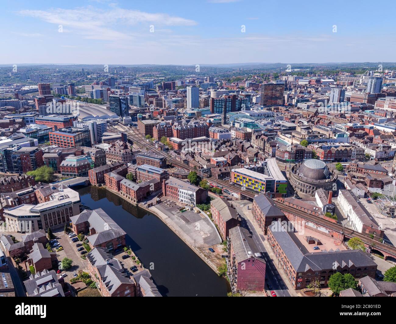 May 2020, UK: Wide Angle View of Leeds City Centre, West Yorkshire - Aerial Photo Stock Photohttps://www.alamy.com/image-license-details/?v=1https://www.alamy.com/may-2020-uk-wide-angle-view-of-leeds-city-centre-west-yorkshire-aerial-photo-image366336165.html
RF2C801ED–May 2020, UK: Wide Angle View of Leeds City Centre, West Yorkshire - Aerial Photo
 Bridge over river near Whitby, North Yorkshire Stock Photohttps://www.alamy.com/image-license-details/?v=1https://www.alamy.com/stock-photo-bridge-over-river-near-whitby-north-yorkshire-37862310.html
RMC5GNNA–Bridge over river near Whitby, North Yorkshire
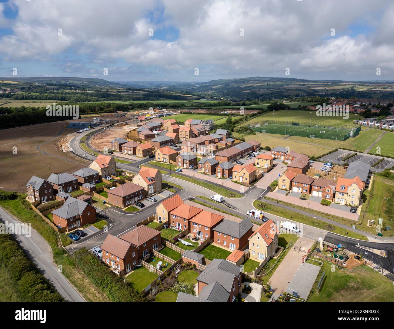 Aerial view of New build housing estate, Whiby, North Yorkshire, England. Stock Photohttps://www.alamy.com/image-license-details/?v=1https://www.alamy.com/aerial-view-of-new-build-housing-estate-whiby-north-yorkshire-england-image615785836.html
RF2XNRD38–Aerial view of New build housing estate, Whiby, North Yorkshire, England.
 All Saints Church, Ripley, North Yorkshire Stock Photohttps://www.alamy.com/image-license-details/?v=1https://www.alamy.com/all-saints-church-ripley-north-yorkshire-image614799281.html
RM2XM6EN5–All Saints Church, Ripley, North Yorkshire
 Leeds city centre, West Yorkshire aerial panoramic view of the city centre looking north towards retail and offices. Leeds, Yorkshire university city Stock Photohttps://www.alamy.com/image-license-details/?v=1https://www.alamy.com/leeds-city-centre-west-yorkshire-aerial-panoramic-view-of-the-city-centre-looking-north-towards-retail-and-offices-leeds-yorkshire-university-city-image591819424.html
RF2WARKM0–Leeds city centre, West Yorkshire aerial panoramic view of the city centre looking north towards retail and offices. Leeds, Yorkshire university city
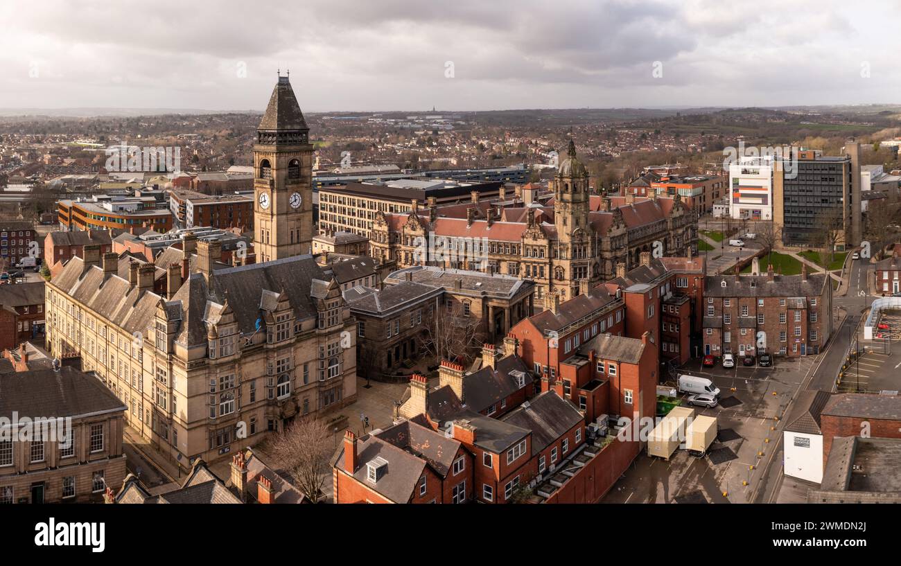 WAKEFIELD, WEST YORKSHIRE, UK - FEBRUARY 19, 2024. Aerial panorama landscape of the historic Wakefield Town Hall and County hall buildings in a citys Stock Photohttps://www.alamy.com/image-license-details/?v=1https://www.alamy.com/wakefield-west-yorkshire-uk-february-19-2024-aerial-panorama-landscape-of-the-historic-wakefield-town-hall-and-county-hall-buildings-in-a-citys-image597747546.html
RF2WMDN2J–WAKEFIELD, WEST YORKSHIRE, UK - FEBRUARY 19, 2024. Aerial panorama landscape of the historic Wakefield Town Hall and County hall buildings in a citys
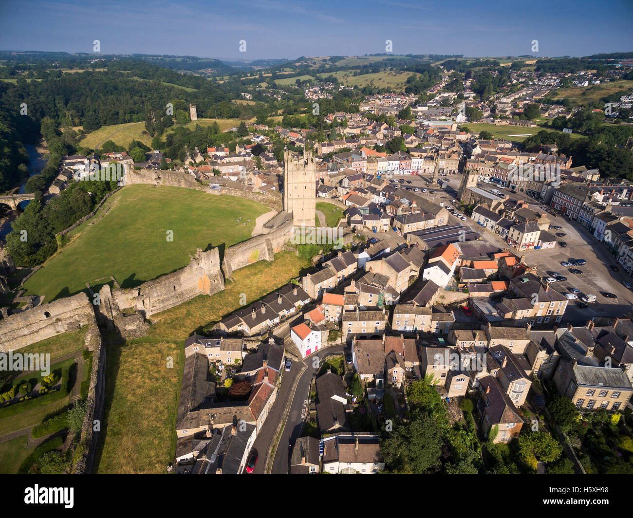 Richmond North Yorkshire aerial scene showing the Castle, Town, River Swale and Market Place Stock Photohttps://www.alamy.com/image-license-details/?v=1https://www.alamy.com/stock-photo-richmond-north-yorkshire-aerial-scene-showing-the-castle-town-river-124130196.html
RMH5XH98–Richmond North Yorkshire aerial scene showing the Castle, Town, River Swale and Market Place
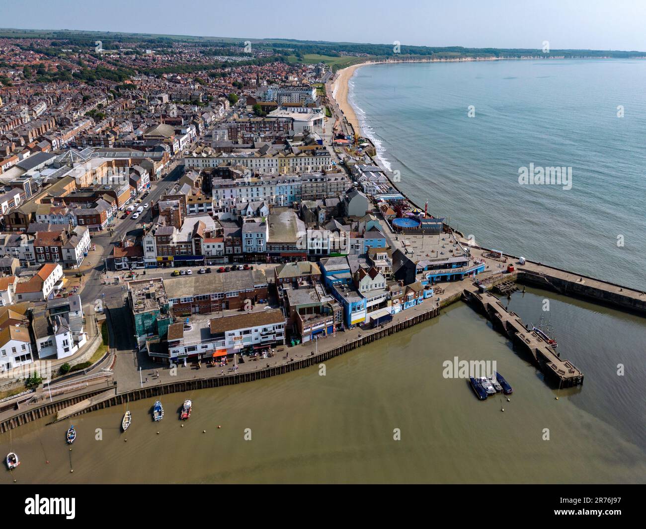 Aerial view of the seaside town of Bridlington on the North Yorkshire coast in the United Kingdom. Stock Photohttps://www.alamy.com/image-license-details/?v=1https://www.alamy.com/aerial-view-of-the-seaside-town-of-bridlington-on-the-north-yorkshire-coast-in-the-united-kingdom-image555180451.html
RF2R76J97–Aerial view of the seaside town of Bridlington on the North Yorkshire coast in the United Kingdom.
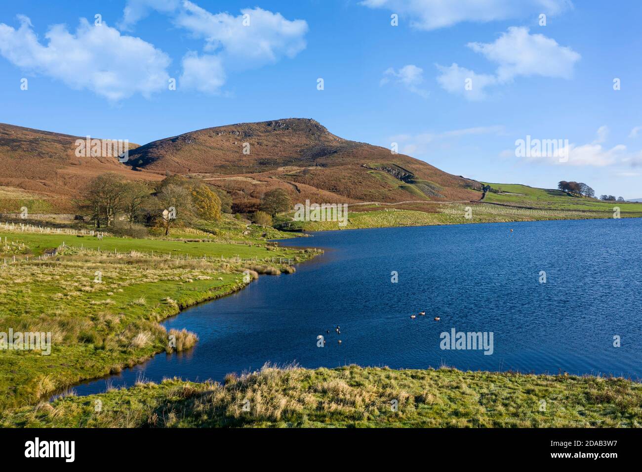 embsay reservoir and embsay crag near skipton north yorkshire aerial view from drone Stock Photohttps://www.alamy.com/image-license-details/?v=1https://www.alamy.com/embsay-reservoir-and-embsay-crag-near-skipton-north-yorkshire-aerial-view-from-drone-image385019187.html
RF2DAB3W7–embsay reservoir and embsay crag near skipton north yorkshire aerial view from drone
 RNLI Lifeboat Display at Staithes North Yorkshire Stock Photohttps://www.alamy.com/image-license-details/?v=1https://www.alamy.com/rnli-lifeboat-display-at-staithes-north-yorkshire-image554963879.html
RM2R6TP2F–RNLI Lifeboat Display at Staithes North Yorkshire
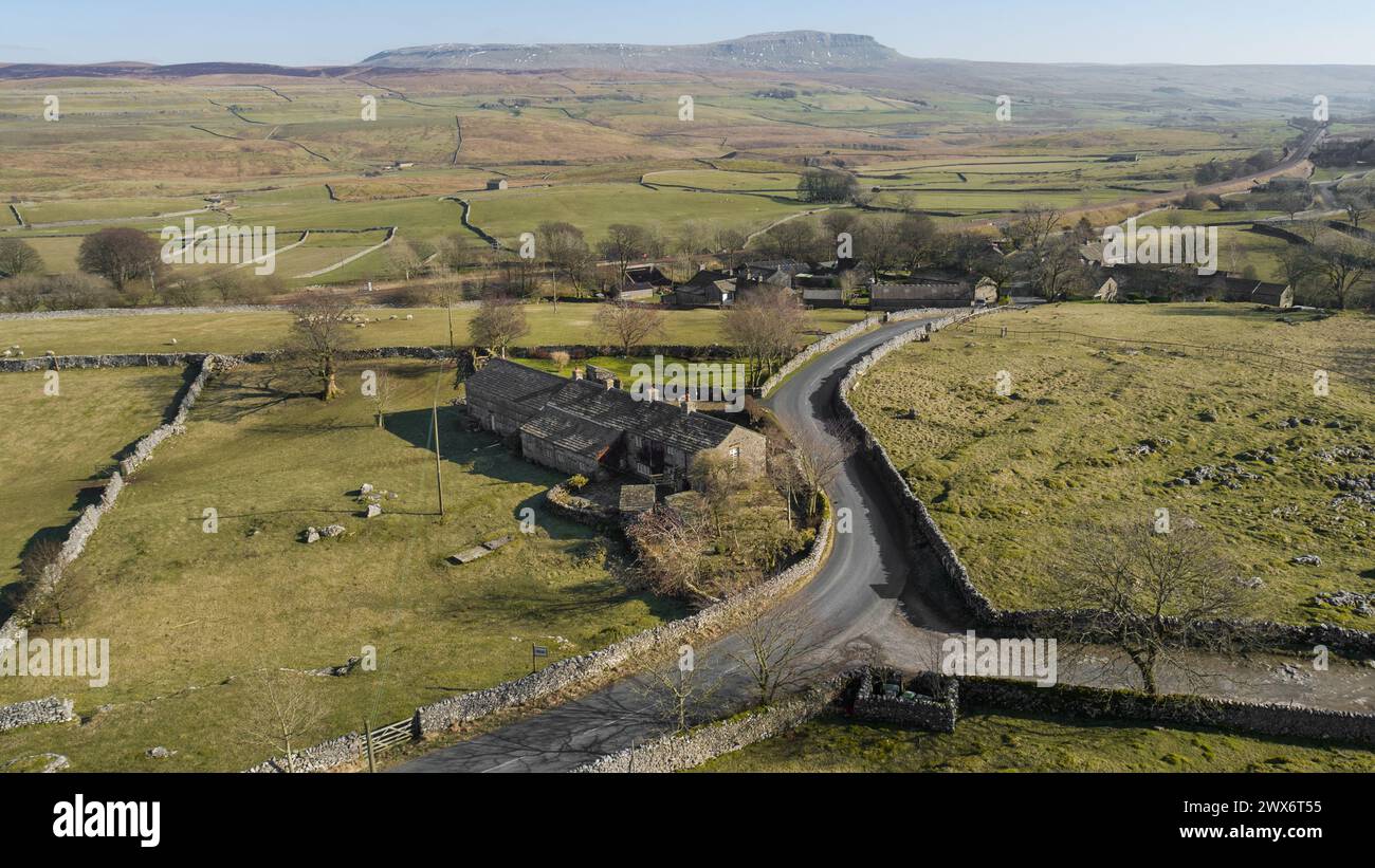 Aerial image of Pen-y-ghent mountain & the North Yorkshire countryside, with the rural village of Selside, country lanes & farmland in the foreground Stock Photohttps://www.alamy.com/image-license-details/?v=1https://www.alamy.com/aerial-image-of-pen-y-ghent-mountain-the-north-yorkshire-countryside-with-the-rural-village-of-selside-country-lanes-farmland-in-the-foreground-image601284241.html
RF2WX6T55–Aerial image of Pen-y-ghent mountain & the North Yorkshire countryside, with the rural village of Selside, country lanes & farmland in the foreground
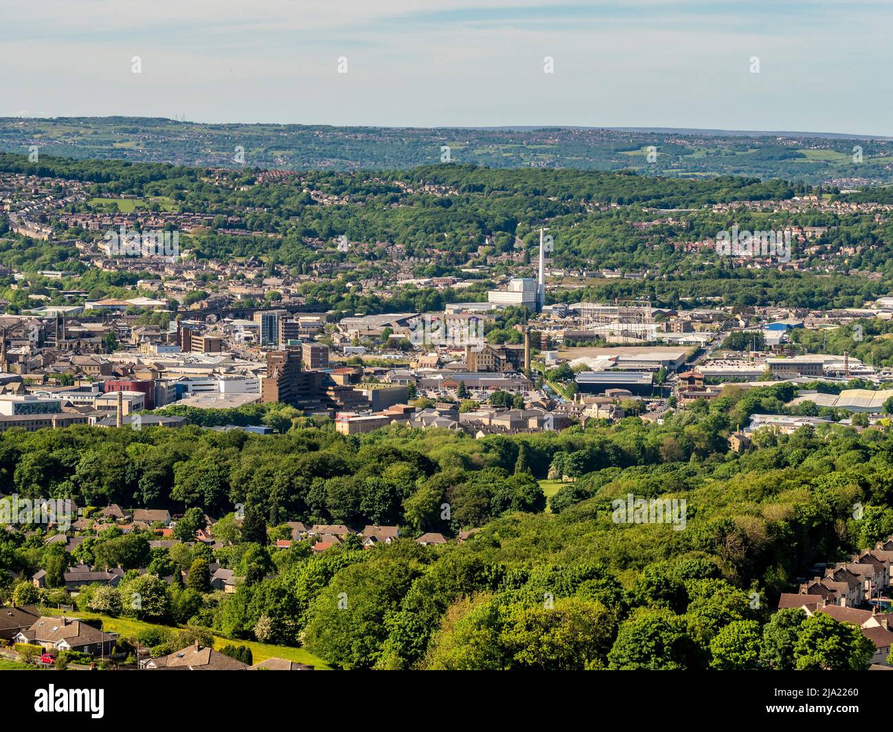 Aerial view of Huddersfield town seen from Castle Hill. West Yorkshire. UK Stock Photohttps://www.alamy.com/image-license-details/?v=1https://www.alamy.com/aerial-view-of-huddersfield-town-seen-from-castle-hill-west-yorkshire-uk-image470872136.html
RM2JA2260–Aerial view of Huddersfield town seen from Castle Hill. West Yorkshire. UK
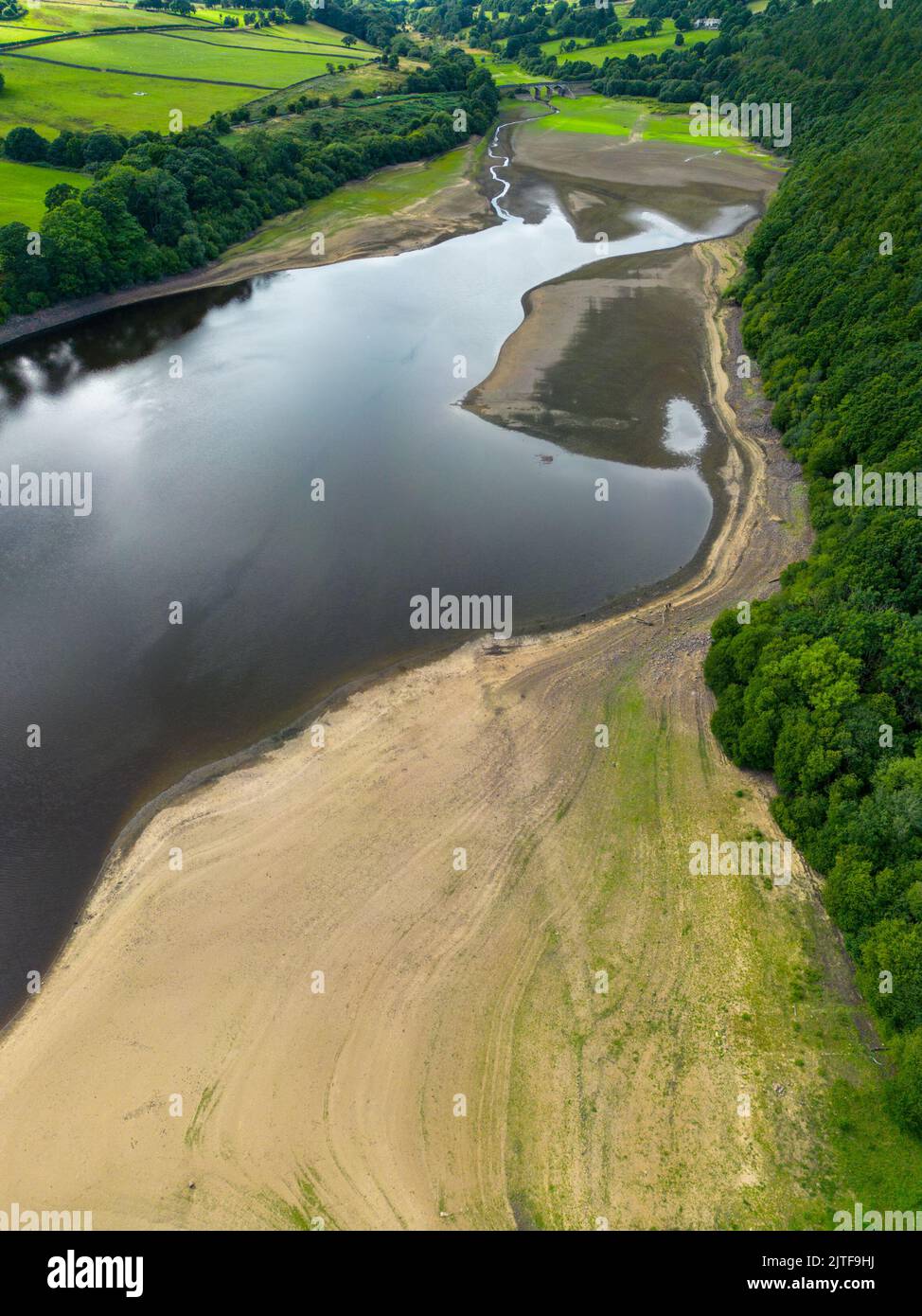 Aerial drone view of Lindley Wood Reservoir, North Yorkshire Stock Photohttps://www.alamy.com/image-license-details/?v=1https://www.alamy.com/aerial-drone-view-of-lindley-wood-reservoir-north-yorkshire-image479768510.html
RM2JTF9HJ–Aerial drone view of Lindley Wood Reservoir, North Yorkshire
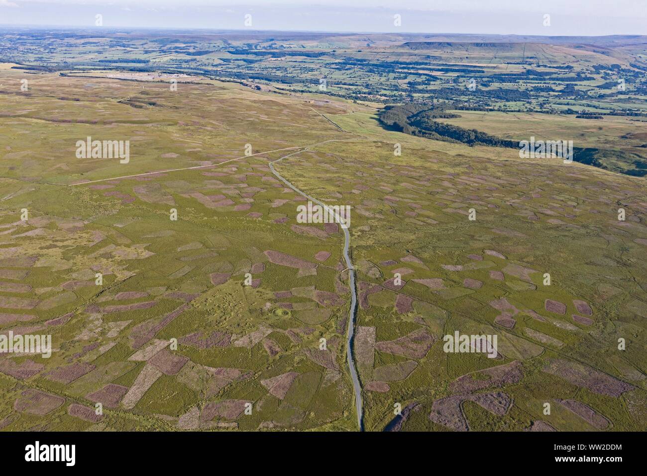 Grinton Moor above Swaledale in Yorkshire Dales, July. Aerial image showing patchwork pattern where moor has been burnt on rotation for maximising ha Stock Photohttps://www.alamy.com/image-license-details/?v=1https://www.alamy.com/grinton-moor-above-swaledale-in-yorkshire-dales-july-aerial-image-showing-patchwork-pattern-where-moor-has-been-burnt-on-rotation-for-maximising-ha-image273576400.html
RMWW2DDM–Grinton Moor above Swaledale in Yorkshire Dales, July. Aerial image showing patchwork pattern where moor has been burnt on rotation for maximising ha
 Aerial drone view of the countryside in North-Yorkshire England. There is a lot of farmland in the Yorkshire Dales. Stock Photohttps://www.alamy.com/image-license-details/?v=1https://www.alamy.com/aerial-drone-view-of-the-countryside-in-north-yorkshire-england-there-is-a-lot-of-farmland-in-the-yorkshire-dales-image556563996.html
RF2R9DK1G–Aerial drone view of the countryside in North-Yorkshire England. There is a lot of farmland in the Yorkshire Dales.
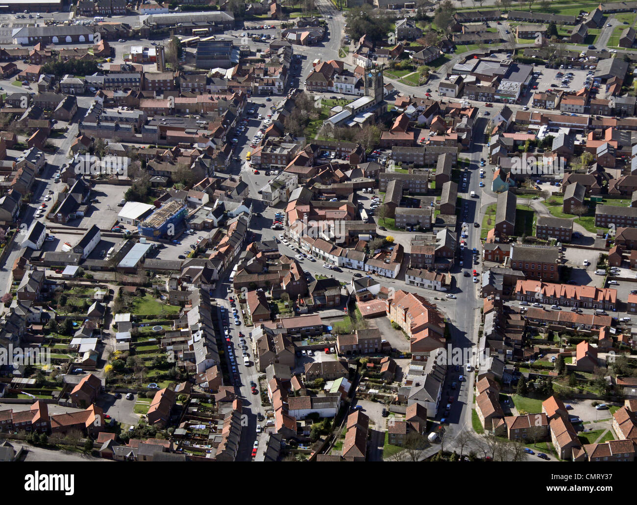 aerial view of Pocklington town centre, Yorkshire Stock Photohttps://www.alamy.com/image-license-details/?v=1https://www.alamy.com/stock-photo-aerial-view-of-pocklington-town-centre-yorkshire-47240011.html
RMCMRY37–aerial view of Pocklington town centre, Yorkshire
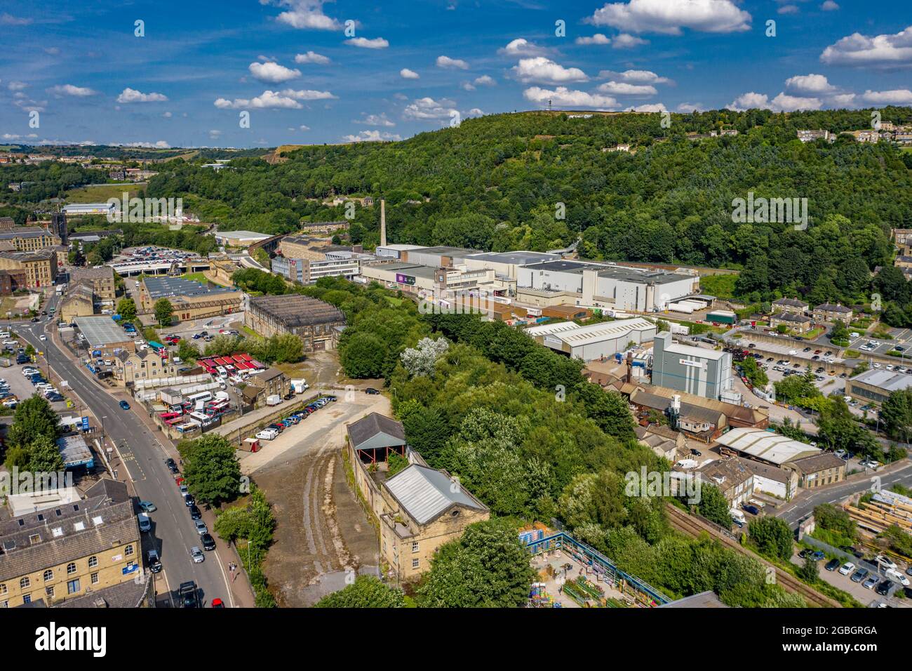 Halifax West Yorkshire Aerial Drone Nestle Train Station Stock Photohttps://www.alamy.com/image-license-details/?v=1https://www.alamy.com/halifax-west-yorkshire-aerial-drone-nestle-train-station-image437390138.html
RM2GBGRGA–Halifax West Yorkshire Aerial Drone Nestle Train Station
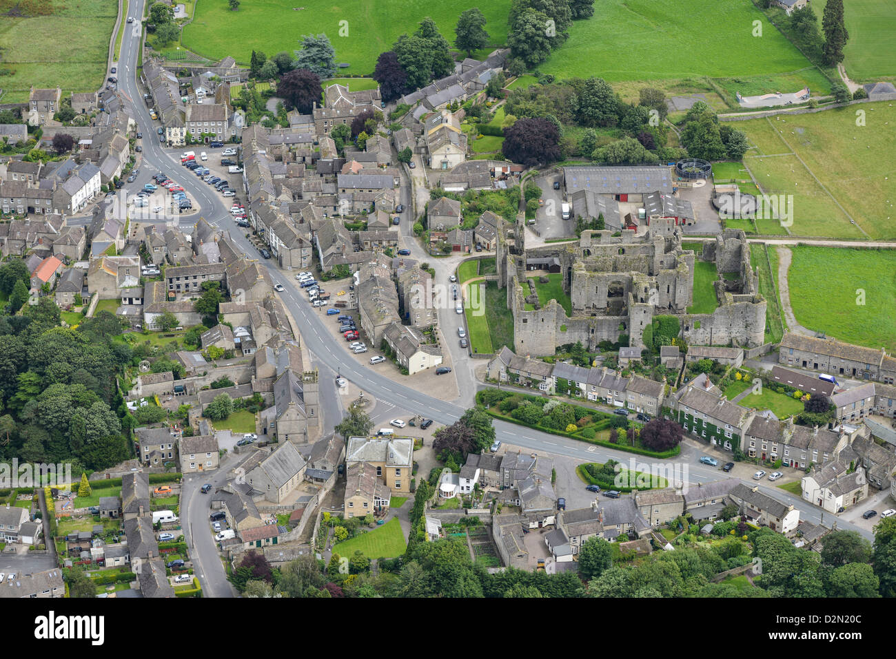 Aerial photograph of Leyburn North Yorkshire Stock Photohttps://www.alamy.com/image-license-details/?v=1https://www.alamy.com/stock-photo-aerial-photograph-of-leyburn-north-yorkshire-53322988.html
RFD2N20C–Aerial photograph of Leyburn North Yorkshire
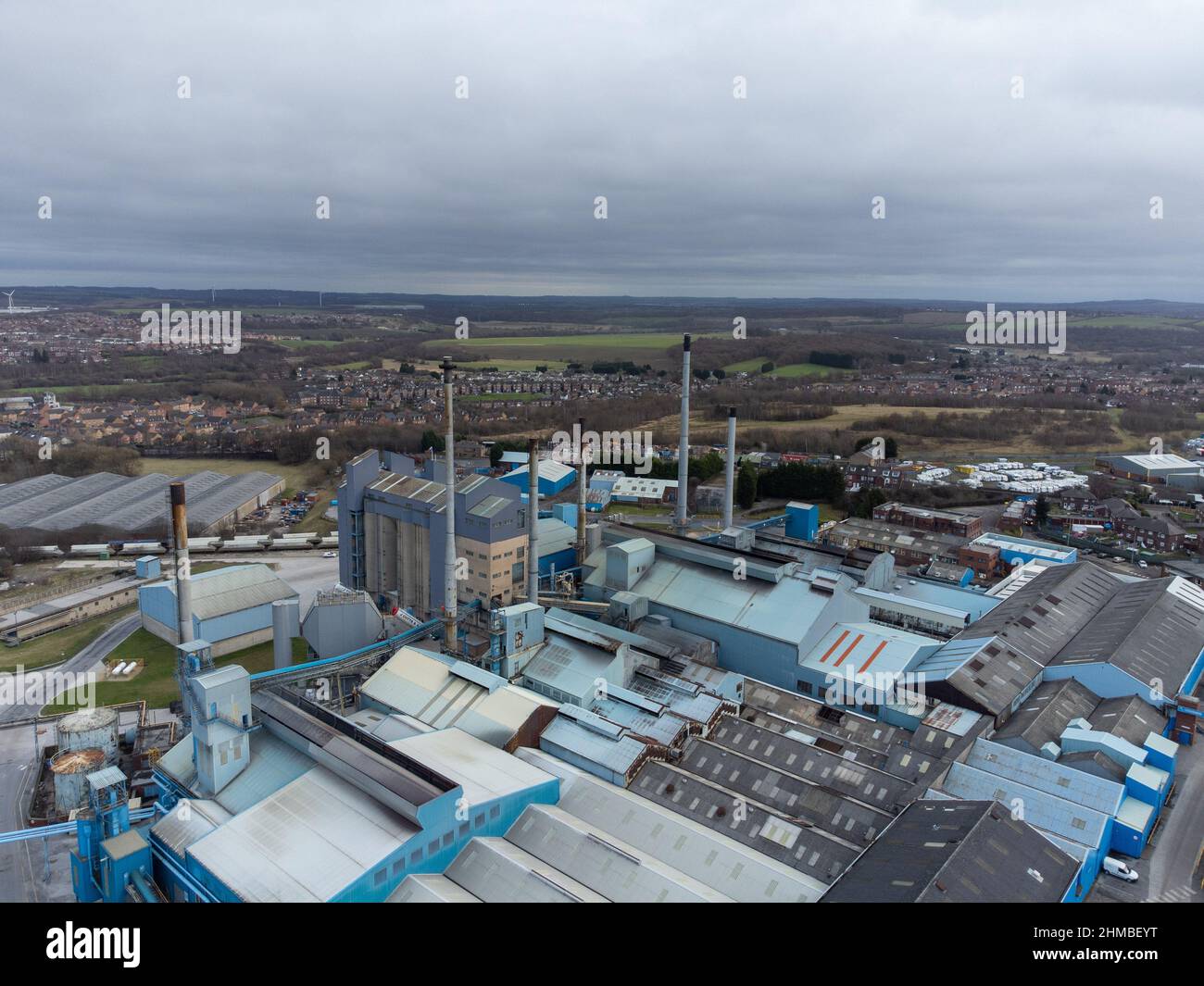 Aerial shoot of Ardagh Glass in Barnsley, South Yorkshire. Stock Photohttps://www.alamy.com/image-license-details/?v=1https://www.alamy.com/aerial-shoot-of-ardagh-glass-in-barnsley-south-yorkshire-image460015916.html
RM2HMBEYT–Aerial shoot of Ardagh Glass in Barnsley, South Yorkshire.
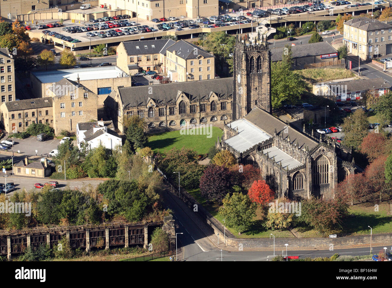 Aerial View of Halifax parish Church Calderdale Yorkshire Stock Photohttps://www.alamy.com/image-license-details/?v=1https://www.alamy.com/stock-photo-aerial-view-of-halifax-parish-church-calderdale-yorkshire-26457365.html
RMBF16HW–Aerial View of Halifax parish Church Calderdale Yorkshire
 Robin Hood's Bay, North Yorkshire Stock Photohttps://www.alamy.com/image-license-details/?v=1https://www.alamy.com/stock-photo-robin-hoods-bay-north-yorkshire-51262911.html
RMCYB6A7–Robin Hood's Bay, North Yorkshire
 Aerial view of new build housing estate with shopping mall in background, North Yorkshire, England. Stock Photohttps://www.alamy.com/image-license-details/?v=1https://www.alamy.com/aerial-view-of-new-build-housing-estate-with-shopping-mall-in-background-north-yorkshire-england-image615785942.html
RF2XNRD72–Aerial view of new build housing estate with shopping mall in background, North Yorkshire, England.
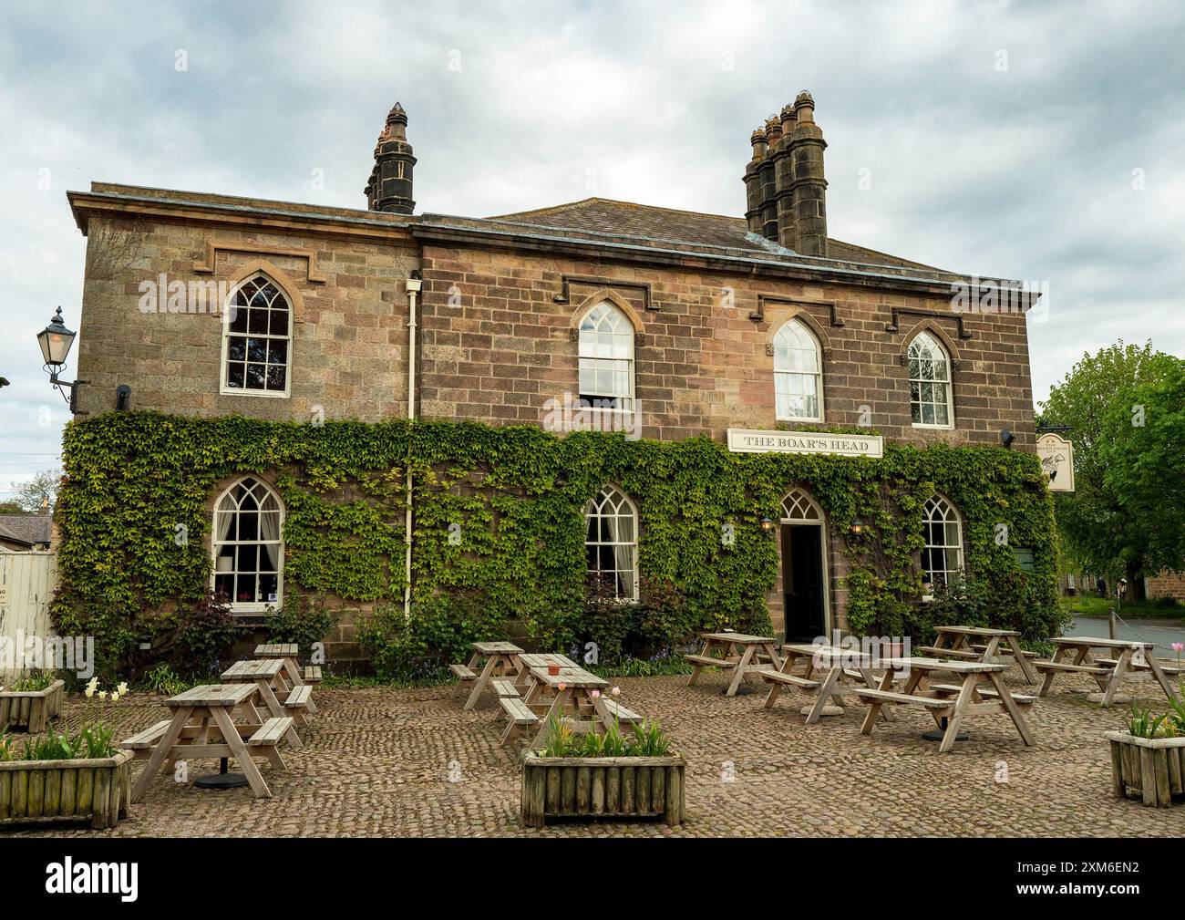 The Boar's Head Hotel, Ripley, North Yorkshire Stock Photohttps://www.alamy.com/image-license-details/?v=1https://www.alamy.com/the-boars-head-hotel-ripley-north-yorkshire-image614799278.html
RM2XM6EN2–The Boar's Head Hotel, Ripley, North Yorkshire
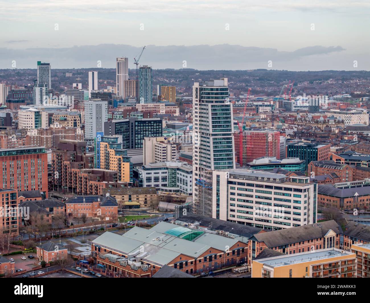 Leeds city centre, West Yorkshire aerial panoramic view of the city centre looking north towards retail and offices. Leeds, Yorkshire university city Stock Photohttps://www.alamy.com/image-license-details/?v=1https://www.alamy.com/leeds-city-centre-west-yorkshire-aerial-panoramic-view-of-the-city-centre-looking-north-towards-retail-and-offices-leeds-yorkshire-university-city-image591819399.html
RF2WARKK3–Leeds city centre, West Yorkshire aerial panoramic view of the city centre looking north towards retail and offices. Leeds, Yorkshire university city
 An aerial map view directly above the Yorkshire market town of Selby with the ancient architecture of Selby Abbey prominent Stock Photohttps://www.alamy.com/image-license-details/?v=1https://www.alamy.com/an-aerial-map-view-directly-above-the-yorkshire-market-town-of-selby-with-the-ancient-architecture-of-selby-abbey-prominent-image504702450.html
RF2M9353E–An aerial map view directly above the Yorkshire market town of Selby with the ancient architecture of Selby Abbey prominent
 Richmond North Yorkshire aerial scene showing River Swale, Castle, Town, and Market Place Stock Photohttps://www.alamy.com/image-license-details/?v=1https://www.alamy.com/stock-photo-richmond-north-yorkshire-aerial-scene-showing-river-swale-castle-town-124130620.html
RMH5XHTC–Richmond North Yorkshire aerial scene showing River Swale, Castle, Town, and Market Place
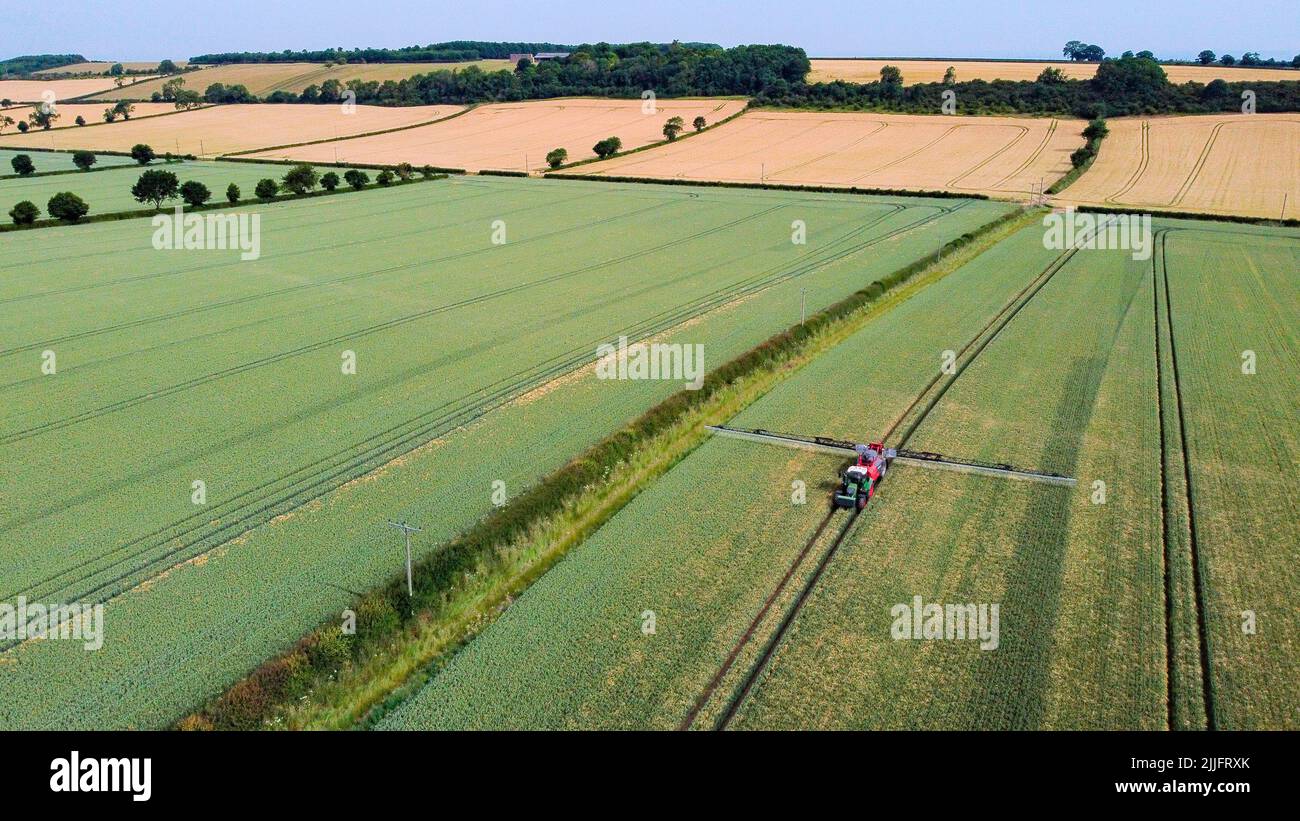 Aerial view of a farmer spraying his crops with fertilizer. North Yorkshire in the United Kingdom. Stock Photohttps://www.alamy.com/image-license-details/?v=1https://www.alamy.com/aerial-view-of-a-farmer-spraying-his-crops-with-fertilizer-north-yorkshire-in-the-united-kingdom-image476091803.html
RF2JJFRXK–Aerial view of a farmer spraying his crops with fertilizer. North Yorkshire in the United Kingdom.
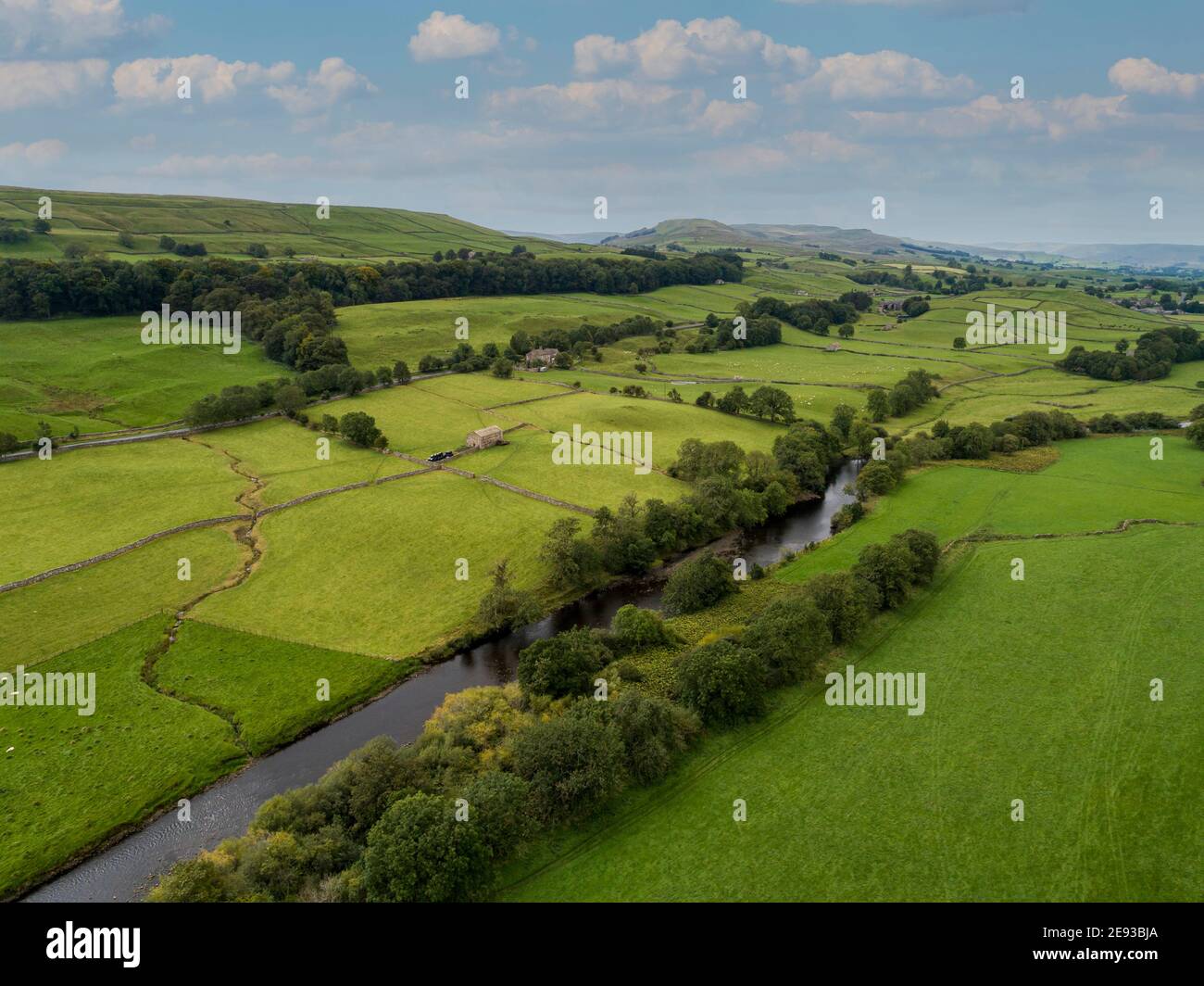 Aerial view of the river ure in wensleydale in the yorkshire dales Stock Photohttps://www.alamy.com/image-license-details/?v=1https://www.alamy.com/aerial-view-of-the-river-ure-in-wensleydale-in-the-yorkshire-dales-image401445362.html
RF2E93BJA–Aerial view of the river ure in wensleydale in the yorkshire dales
 RNLI Lifeboat Display at Staithes North Yorkshire Stock Photohttps://www.alamy.com/image-license-details/?v=1https://www.alamy.com/rnli-lifeboat-display-at-staithes-north-yorkshire-image554963871.html
RM2R6TP27–RNLI Lifeboat Display at Staithes North Yorkshire
 Aerial image of Pen-y-ghent mountain & the North Yorkshire countryside, with the rural village of Selside, country lanes & farmland in the foreground Stock Photohttps://www.alamy.com/image-license-details/?v=1https://www.alamy.com/aerial-image-of-pen-y-ghent-mountain-the-north-yorkshire-countryside-with-the-rural-village-of-selside-country-lanes-farmland-in-the-foreground-image601284244.html
RF2WX6T58–Aerial image of Pen-y-ghent mountain & the North Yorkshire countryside, with the rural village of Selside, country lanes & farmland in the foreground
 Hornsea Mere, Hormsea, East Riding, Yorkshire Aerial view hornsea mere panoramic hornsea mere, Stock Photohttps://www.alamy.com/image-license-details/?v=1https://www.alamy.com/hornsea-mere-hormsea-east-riding-yorkshire-aerial-view-hornsea-mere-panoramic-hornsea-mere-image546155327.html
RF2PMFEKB–Hornsea Mere, Hormsea, East Riding, Yorkshire Aerial view hornsea mere panoramic hornsea mere,
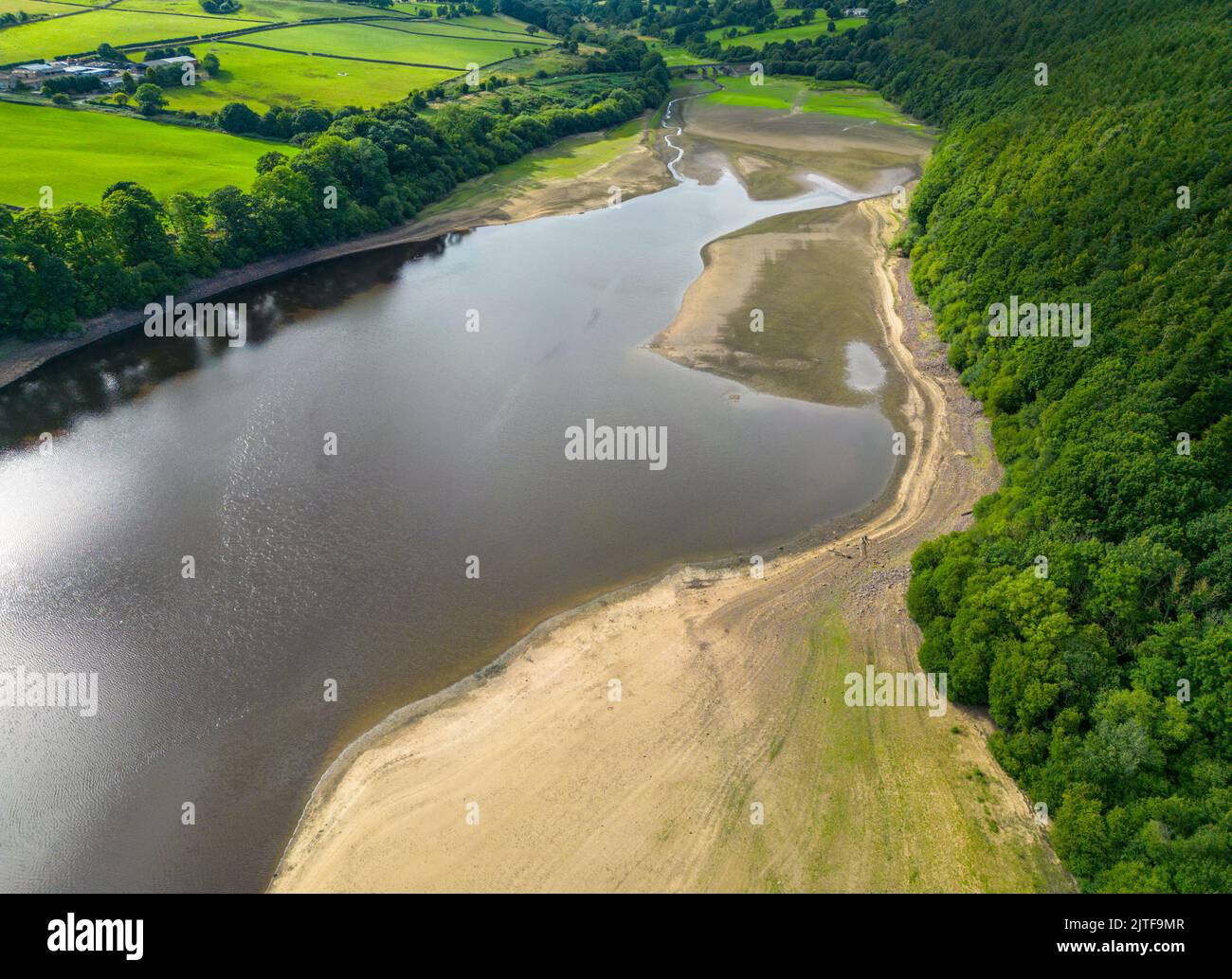 Aerial drone view of Lindley Wood Reservoir, North Yorkshire Stock Photohttps://www.alamy.com/image-license-details/?v=1https://www.alamy.com/aerial-drone-view-of-lindley-wood-reservoir-north-yorkshire-image479768599.html
RM2JTF9MR–Aerial drone view of Lindley Wood Reservoir, North Yorkshire
 Grinton Moor above Swaledale in Yorkshire Dales, July. Aerial image showing patchwork pattern where moor has been burnt on rotation for maximising ha Stock Photohttps://www.alamy.com/image-license-details/?v=1https://www.alamy.com/grinton-moor-above-swaledale-in-yorkshire-dales-july-aerial-image-showing-patchwork-pattern-where-moor-has-been-burnt-on-rotation-for-maximising-ha-image273576145.html
RMWW2D4H–Grinton Moor above Swaledale in Yorkshire Dales, July. Aerial image showing patchwork pattern where moor has been burnt on rotation for maximising ha
 Aerial drone view of the countryside in North-Yorkshire England. There is a lot of farmland in the Yorkshire Dales. Stock Photohttps://www.alamy.com/image-license-details/?v=1https://www.alamy.com/aerial-drone-view-of-the-countryside-in-north-yorkshire-england-there-is-a-lot-of-farmland-in-the-yorkshire-dales-image556564053.html
RF2R9DK3H–Aerial drone view of the countryside in North-Yorkshire England. There is a lot of farmland in the Yorkshire Dales.
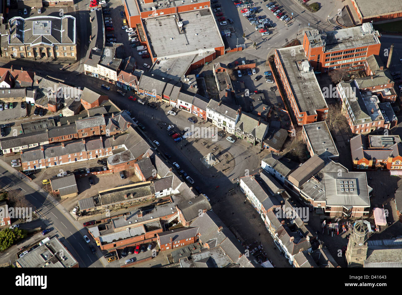 aerial view of Pontefract, West Yorkshire Stock Photohttps://www.alamy.com/image-license-details/?v=1https://www.alamy.com/stock-photo-aerial-view-of-pontefract-west-yorkshire-54116499.html
RMD41643–aerial view of Pontefract, West Yorkshire
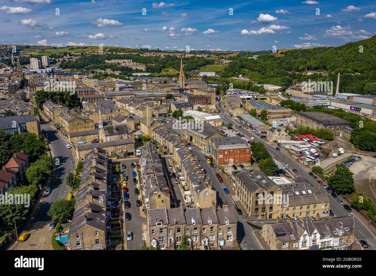 Halifax West Yorkshire Aerial Drone Nestle Train Station Stock Photohttps://www.alamy.com/image-license-details/?v=1https://www.alamy.com/halifax-west-yorkshire-aerial-drone-nestle-train-station-image437390133.html
RM2GBGRG5–Halifax West Yorkshire Aerial Drone Nestle Train Station
 Aerial photograph of countryside in the East Riding of Yorkshire Stock Photohttps://www.alamy.com/image-license-details/?v=1https://www.alamy.com/stock-photo-aerial-photograph-of-countryside-in-the-east-riding-of-yorkshire-53322588.html
RFD2N1E4–Aerial photograph of countryside in the East Riding of Yorkshire
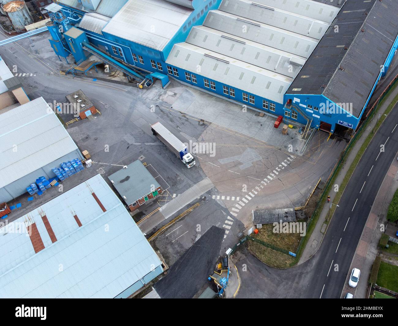 Aerial shoot of Ardagh Glass in Barnsley, South Yorkshire. Stock Photohttps://www.alamy.com/image-license-details/?v=1https://www.alamy.com/aerial-shoot-of-ardagh-glass-in-barnsley-south-yorkshire-image460015918.html
RM2HMBEYX–Aerial shoot of Ardagh Glass in Barnsley, South Yorkshire.
 Scarborough Holiday resort North Yorkshire aerial view Stock Photohttps://www.alamy.com/image-license-details/?v=1https://www.alamy.com/scarborough-holiday-resort-north-yorkshire-aerial-view-image444262338.html
RF2GPNW42–Scarborough Holiday resort North Yorkshire aerial view
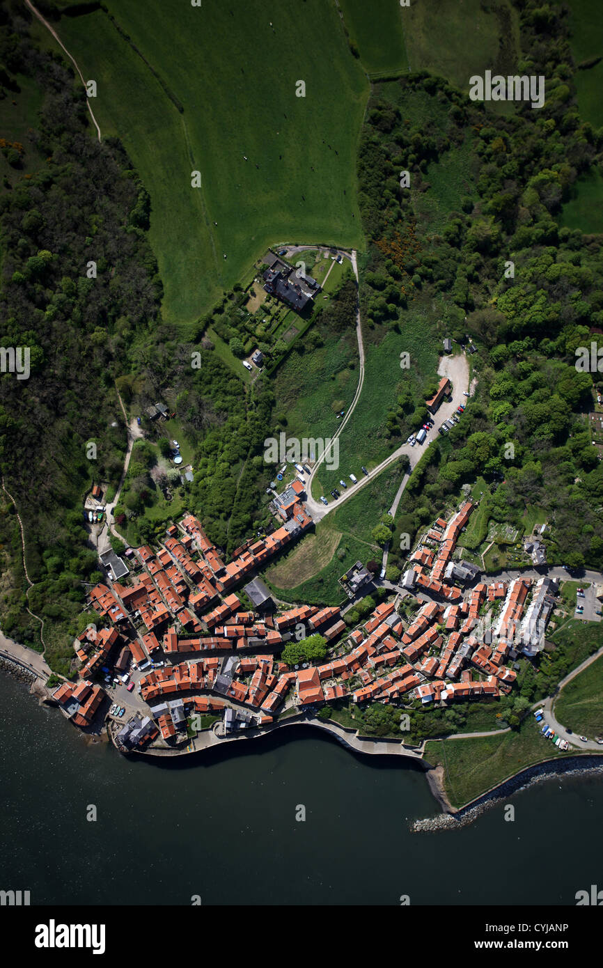 Robin Hood's Bay, North Yorkshire Stock Photohttps://www.alamy.com/image-license-details/?v=1https://www.alamy.com/stock-photo-robin-hoods-bay-north-yorkshire-51420034.html
RMCYJANP–Robin Hood's Bay, North Yorkshire
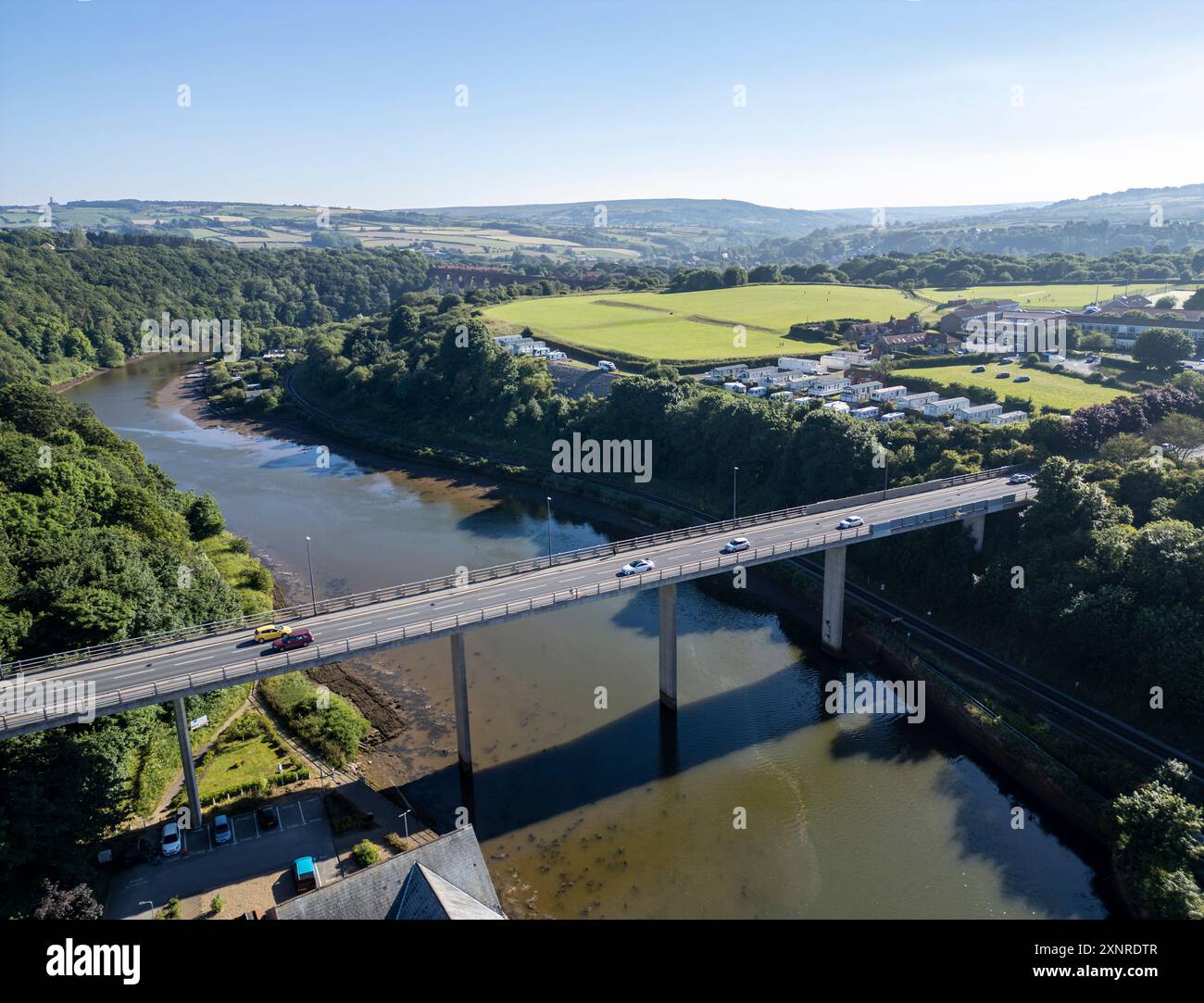 Aerial view as cars cross New bridge, A171 over Whitby River Esk, North Yorkshire, England. Stock Photohttps://www.alamy.com/image-license-details/?v=1https://www.alamy.com/aerial-view-as-cars-cross-new-bridge-a171-over-whitby-river-esk-north-yorkshire-england-image615786439.html
RF2XNRDTR–Aerial view as cars cross New bridge, A171 over Whitby River Esk, North Yorkshire, England.
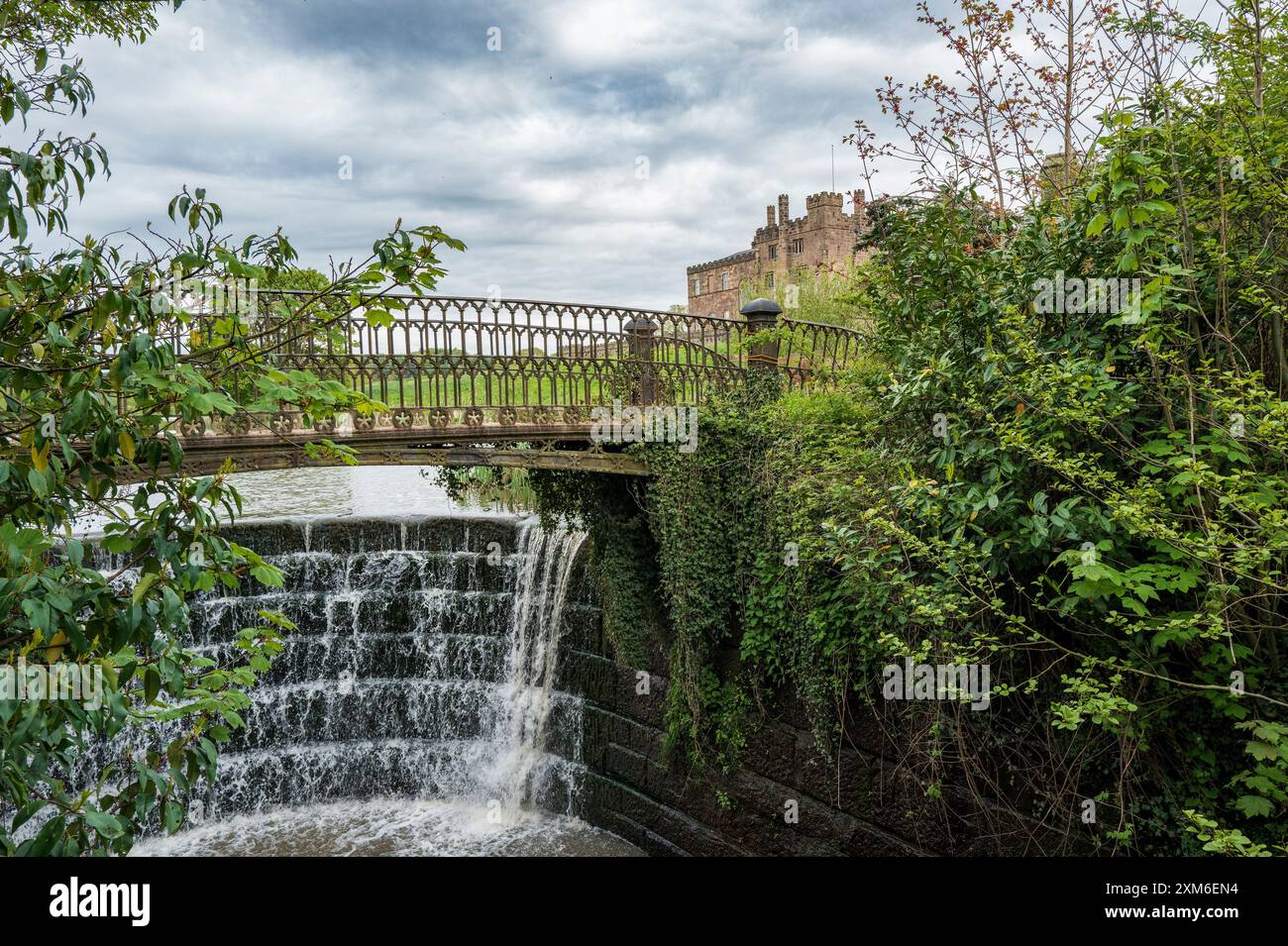 Weir at Ripley Lake, Ripley Castle, North Yorkshire Stock Photohttps://www.alamy.com/image-license-details/?v=1https://www.alamy.com/weir-at-ripley-lake-ripley-castle-north-yorkshire-image614799280.html
RM2XM6EN4–Weir at Ripley Lake, Ripley Castle, North Yorkshire
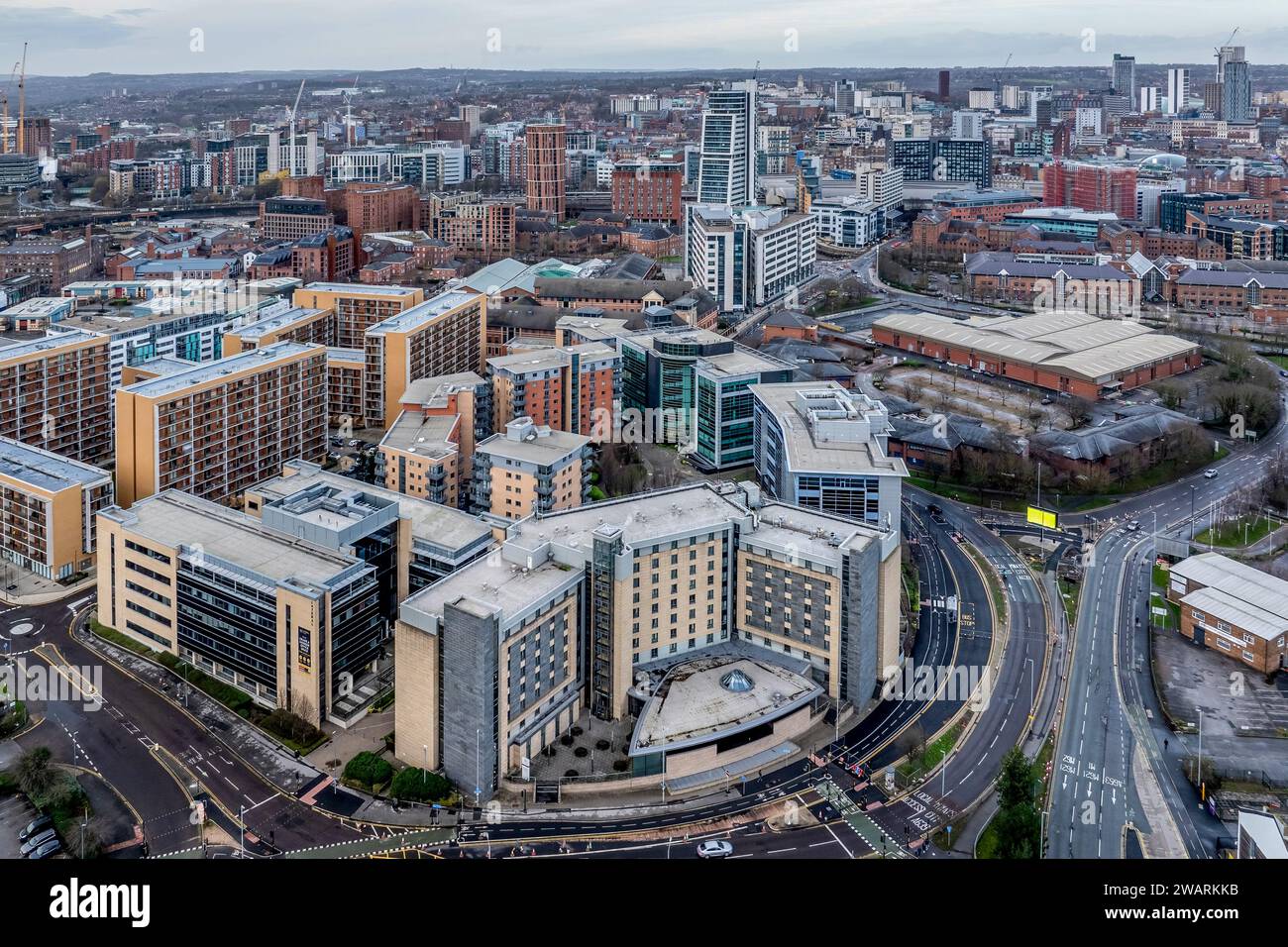 Leeds city centre, West Yorkshire aerial panoramic view of the city centre looking north towards retail and offices. Leeds, Yorkshire university city Stock Photohttps://www.alamy.com/image-license-details/?v=1https://www.alamy.com/leeds-city-centre-west-yorkshire-aerial-panoramic-view-of-the-city-centre-looking-north-towards-retail-and-offices-leeds-yorkshire-university-city-image591819407.html
RF2WARKKB–Leeds city centre, West Yorkshire aerial panoramic view of the city centre looking north towards retail and offices. Leeds, Yorkshire university city
 An aerial landscape view of York cityscape skyline in North Yorkshire, UK with York Minster cathedral and the rooftop of historic buildings Stock Photohttps://www.alamy.com/image-license-details/?v=1https://www.alamy.com/an-aerial-landscape-view-of-york-cityscape-skyline-in-north-yorkshire-uk-with-york-minster-cathedral-and-the-rooftop-of-historic-buildings-image530994192.html
RF2NRTTE8–An aerial landscape view of York cityscape skyline in North Yorkshire, UK with York Minster cathedral and the rooftop of historic buildings
 Richmond North Yorkshire aerial scene showing the Castle, Town, River Swale and Market Place Stock Photohttps://www.alamy.com/image-license-details/?v=1https://www.alamy.com/stock-photo-richmond-north-yorkshire-aerial-scene-showing-the-castle-town-river-120990579.html
RMH0RGM3–Richmond North Yorkshire aerial scene showing the Castle, Town, River Swale and Market Place
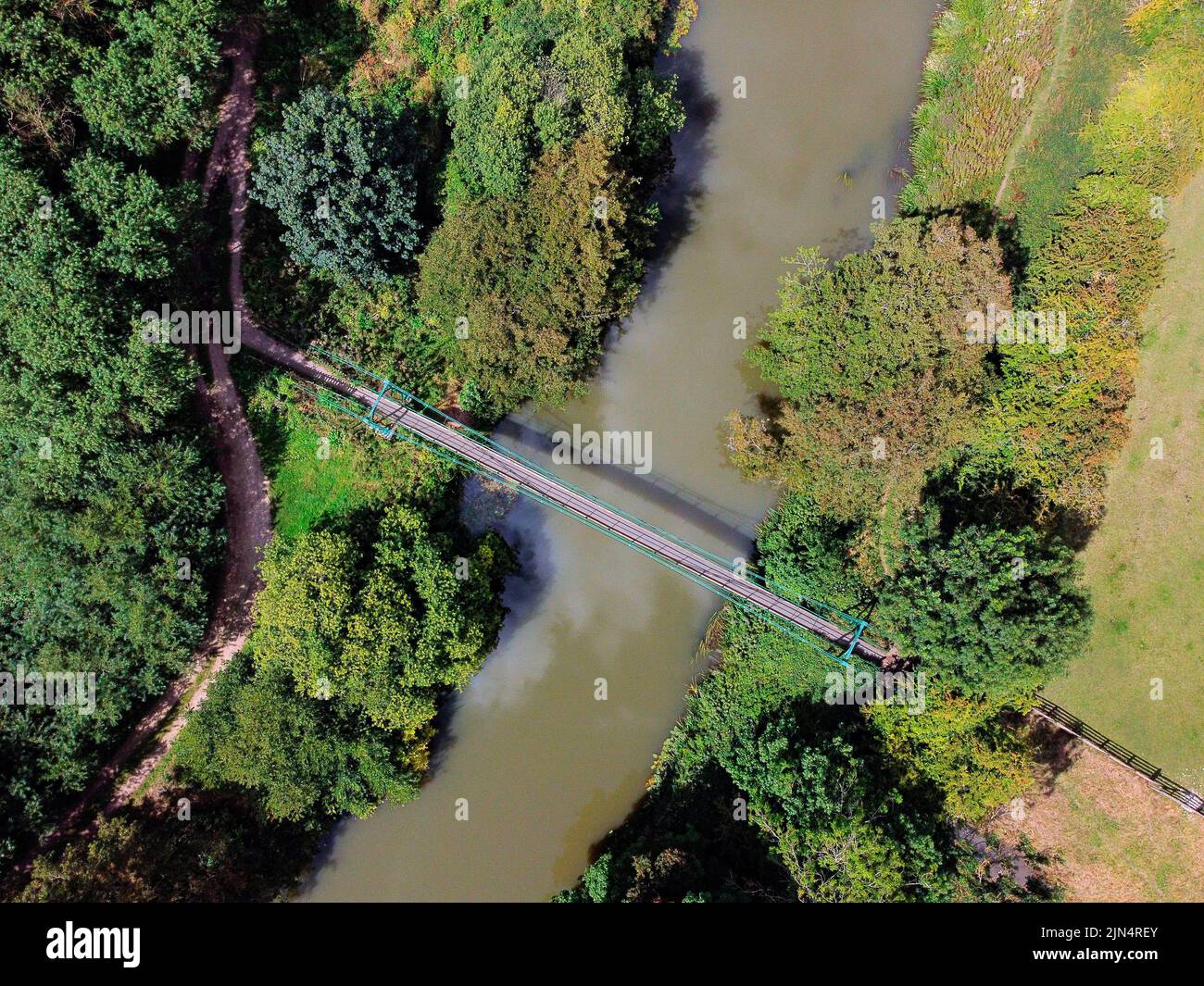 Aerial view of a footbridge over the River Derwent near Malton in the North Yorkshire countryside, northeast England. Stock Photohttps://www.alamy.com/image-license-details/?v=1https://www.alamy.com/aerial-view-of-a-footbridge-over-the-river-derwent-near-malton-in-the-north-yorkshire-countryside-northeast-england-image477693971.html
RF2JN4REY–Aerial view of a footbridge over the River Derwent near Malton in the North Yorkshire countryside, northeast England.
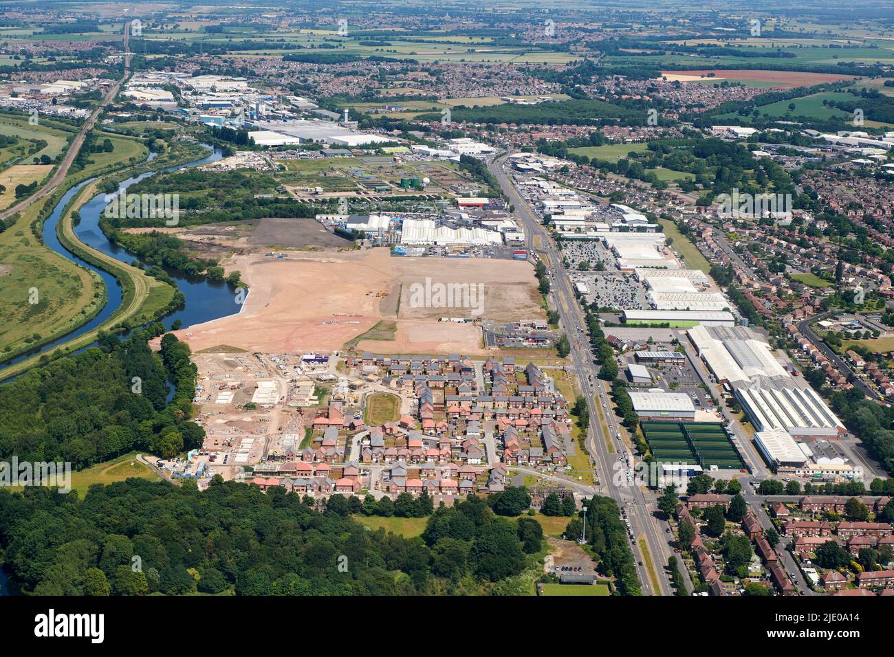 An aerial view of New housing on Wheatley Hall Road, City of Doncaster, South Yorkshire, Northern England, UK Stock Photohttps://www.alamy.com/image-license-details/?v=1https://www.alamy.com/an-aerial-view-of-new-housing-on-wheatley-hall-road-city-of-doncaster-south-yorkshire-northern-england-uk-image473292992.html
RF2JE0A14–An aerial view of New housing on Wheatley Hall Road, City of Doncaster, South Yorkshire, Northern England, UK
 RNLI lifeboat display in Staithes Stock Photohttps://www.alamy.com/image-license-details/?v=1https://www.alamy.com/rnli-lifeboat-display-in-staithes-image554954607.html
RF2R6TA7B–RNLI lifeboat display in Staithes
 The town centre of the small north east town of Staithes in North Yorkshire in the UK Stock Photohttps://www.alamy.com/image-license-details/?v=1https://www.alamy.com/the-town-centre-of-the-small-north-east-town-of-staithes-in-north-yorkshire-in-the-uk-image381882682.html
RF2D58776–The town centre of the small north east town of Staithes in North Yorkshire in the UK
 Hornsea Mere, Hormsea, East Riding, Yorkshire Aerial view hornsea mere, vertical Shot of Hornsea Mere. Stock Photohttps://www.alamy.com/image-license-details/?v=1https://www.alamy.com/hornsea-mere-hormsea-east-riding-yorkshire-aerial-view-hornsea-mere-vertical-shot-of-hornsea-mere-image546155085.html
RF2PMFEAN–Hornsea Mere, Hormsea, East Riding, Yorkshire Aerial view hornsea mere, vertical Shot of Hornsea Mere.
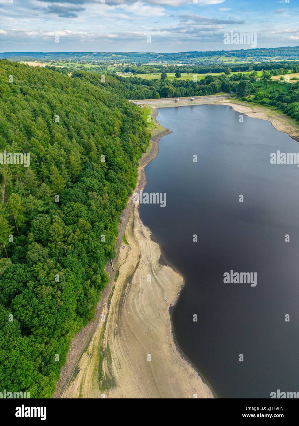 Aerial drone view of Lindley Wood Reservoir, North Yorkshire Stock Photohttps://www.alamy.com/image-license-details/?v=1https://www.alamy.com/aerial-drone-view-of-lindley-wood-reservoir-north-yorkshire-image479768457.html
RM2JTF9FN–Aerial drone view of Lindley Wood Reservoir, North Yorkshire
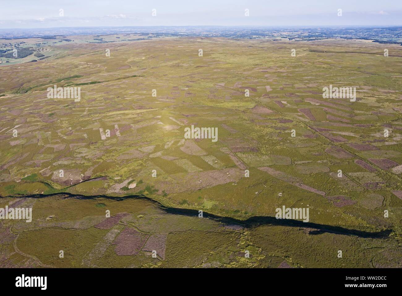 Grinton Moor above Swaledale in Yorkshire Dales, July. Aerial image showing patchwork pattern where moor has been burnt on rotation for maximising ha Stock Photohttps://www.alamy.com/image-license-details/?v=1https://www.alamy.com/grinton-moor-above-swaledale-in-yorkshire-dales-july-aerial-image-showing-patchwork-pattern-where-moor-has-been-burnt-on-rotation-for-maximising-ha-image273576364.html
RMWW2DCC–Grinton Moor above Swaledale in Yorkshire Dales, July. Aerial image showing patchwork pattern where moor has been burnt on rotation for maximising ha
 Above the trees in Middleham down by river Cover in North Yorkshire England. Stock Photohttps://www.alamy.com/image-license-details/?v=1https://www.alamy.com/above-the-trees-in-middleham-down-by-river-cover-in-north-yorkshire-england-image632918441.html
RF2YNKWX1–Above the trees in Middleham down by river Cover in North Yorkshire England.
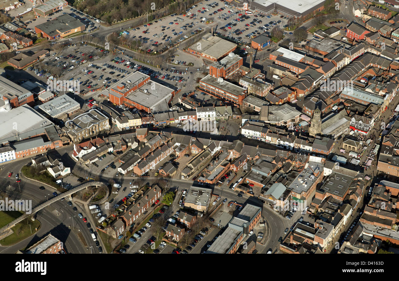 aerial view of Pontefract, West Yorkshire Stock Photohttps://www.alamy.com/image-license-details/?v=1https://www.alamy.com/stock-photo-aerial-view-of-pontefract-west-yorkshire-54116481.html
RMD4163D–aerial view of Pontefract, West Yorkshire
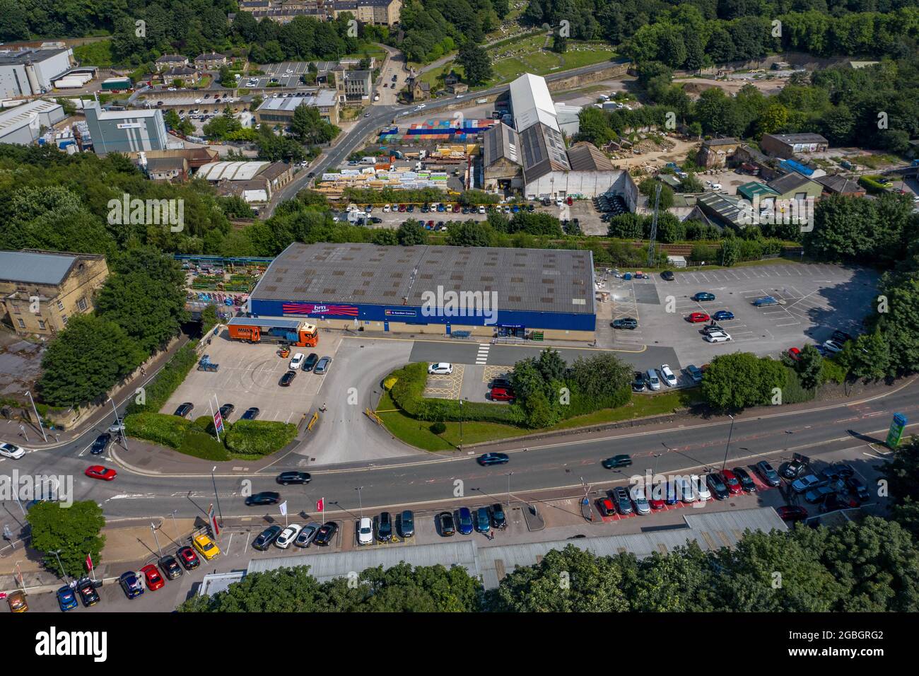 Halifax West Yorkshire Aerial Drone Nestle Train Station Stock Photohttps://www.alamy.com/image-license-details/?v=1https://www.alamy.com/halifax-west-yorkshire-aerial-drone-nestle-train-station-image437390130.html
RM2GBGRG2–Halifax West Yorkshire Aerial Drone Nestle Train Station
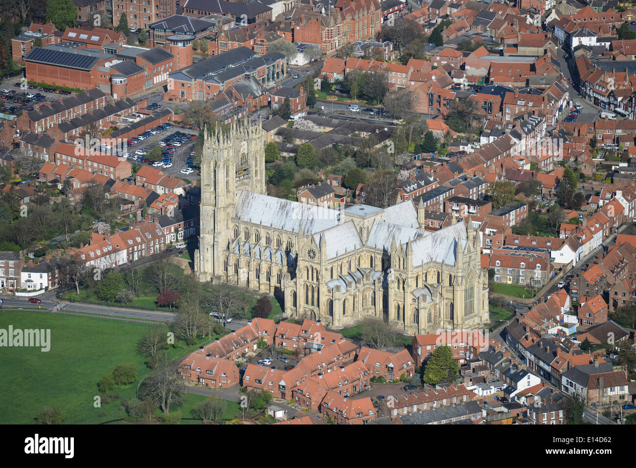 An aerial view of Beverley Minster and immediate surroundings - Beverley, East Yorkshire Stock Photohttps://www.alamy.com/image-license-details/?v=1https://www.alamy.com/an-aerial-view-of-beverley-minster-and-immediate-surroundings-beverley-image69554298.html
RME14D62–An aerial view of Beverley Minster and immediate surroundings - Beverley, East Yorkshire
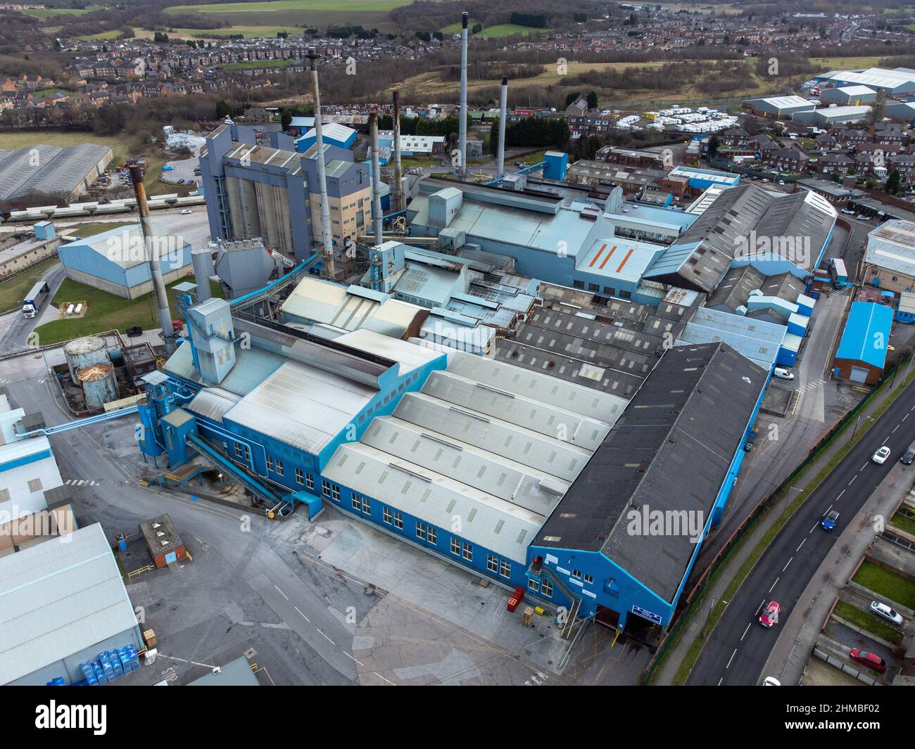 Aerial shoot of Ardagh Glass in Barnsley, South Yorkshire. Stock Photohttps://www.alamy.com/image-license-details/?v=1https://www.alamy.com/aerial-shoot-of-ardagh-glass-in-barnsley-south-yorkshire-image460015922.html
RM2HMBF02–Aerial shoot of Ardagh Glass in Barnsley, South Yorkshire.
 Scarborough Holiday resort North Yorkshire aerial view Stock Photohttps://www.alamy.com/image-license-details/?v=1https://www.alamy.com/scarborough-holiday-resort-north-yorkshire-aerial-view-image444262346.html
RF2GPNW4A–Scarborough Holiday resort North Yorkshire aerial view
 Aerial view of Robin Hoods Bay, North Yorkshire Stock Photohttps://www.alamy.com/image-license-details/?v=1https://www.alamy.com/stock-photo-aerial-view-of-robin-hoods-bay-north-yorkshire-37894252.html
RMC5J6E4–Aerial view of Robin Hoods Bay, North Yorkshire
 Aerial close up of York Minster, North Yorkshire, England. Stock Photohttps://www.alamy.com/image-license-details/?v=1https://www.alamy.com/aerial-close-up-of-york-minster-north-yorkshire-england-image615784194.html
RF2XNRB0J–Aerial close up of York Minster, North Yorkshire, England.
 Bolton Abbey, North Yorkshire Stock Photohttps://www.alamy.com/image-license-details/?v=1https://www.alamy.com/bolton-abbey-north-yorkshire-image612564576.html
RM2XGGMA8–Bolton Abbey, North Yorkshire
 Leeds city centre, West Yorkshire aerial panoramic view of the city centre looking north towards retail and offices. Leeds, Yorkshire university city Stock Photohttps://www.alamy.com/image-license-details/?v=1https://www.alamy.com/leeds-city-centre-west-yorkshire-aerial-panoramic-view-of-the-city-centre-looking-north-towards-retail-and-offices-leeds-yorkshire-university-city-image591819438.html
RF2WARKME–Leeds city centre, West Yorkshire aerial panoramic view of the city centre looking north towards retail and offices. Leeds, Yorkshire university city
 Aerial landscape view of Doncaster cityscape skyline with rail and road transport links serving the South Yorkshire city centre at sunrise Stock Photohttps://www.alamy.com/image-license-details/?v=1https://www.alamy.com/aerial-landscape-view-of-doncaster-cityscape-skyline-with-rail-and-road-transport-links-serving-the-south-yorkshire-city-centre-at-sunrise-image602874571.html
RF2X0R8JK–Aerial landscape view of Doncaster cityscape skyline with rail and road transport links serving the South Yorkshire city centre at sunrise
 The Market Place, Richmond, North Yorkshire. Aerial view. Stock Photohttps://www.alamy.com/image-license-details/?v=1https://www.alamy.com/the-market-place-richmond-north-yorkshire-aerial-view-image379797704.html
RM2D1W7RM–The Market Place, Richmond, North Yorkshire. Aerial view.
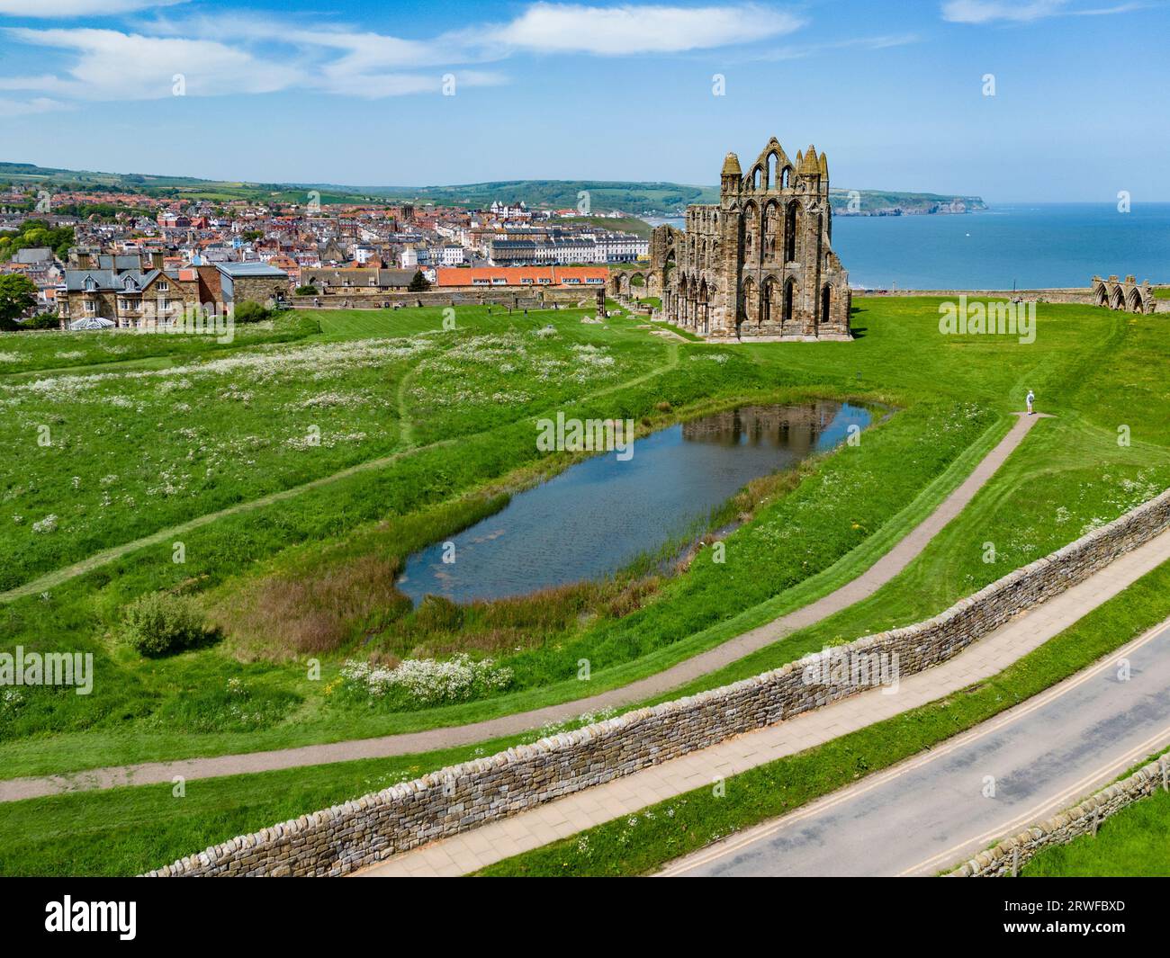 Aerial view of the abbey ruins near the coastal town of Whitby in North Yorkshire, northeast England. Stock Photohttps://www.alamy.com/image-license-details/?v=1https://www.alamy.com/aerial-view-of-the-abbey-ruins-near-the-coastal-town-of-whitby-in-north-yorkshire-northeast-england-image566436821.html
RF2RWFBXD–Aerial view of the abbey ruins near the coastal town of Whitby in North Yorkshire, northeast England.
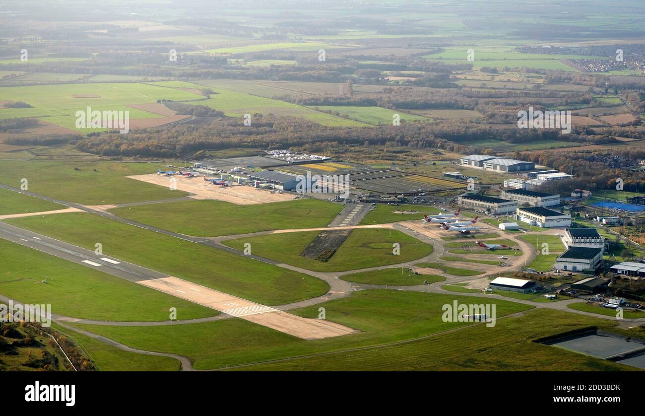 An aerial photograph of Doncaster Robin Hood airport, south Yorkshire, Northern England, UK. showing a pilots eye view Stock Photohttps://www.alamy.com/image-license-details/?v=1https://www.alamy.com/an-aerial-photograph-of-doncaster-robin-hood-airport-south-yorkshire-northern-england-uk-showing-a-pilots-eye-view-image386693487.html
RM2DD3BDK–An aerial photograph of Doncaster Robin Hood airport, south Yorkshire, Northern England, UK. showing a pilots eye view
 North Yorkshire fishing village of Staithes from the Cow Bar Nab Stock Photohttps://www.alamy.com/image-license-details/?v=1https://www.alamy.com/stock-photo-north-yorkshire-fishing-village-of-staithes-from-the-cow-bar-nab-53803908.html
RMD3EYC4–North Yorkshire fishing village of Staithes from the Cow Bar Nab
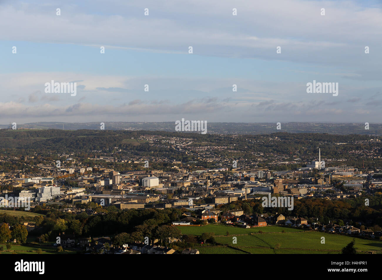 The view over Huddersfield town centre from atop Castle Hill in West Yorkshire. Stock Photohttps://www.alamy.com/image-license-details/?v=1https://www.alamy.com/stock-photo-the-view-over-huddersfield-town-centre-from-atop-castle-hill-in-west-123322277.html
RMH4HPR1–The view over Huddersfield town centre from atop Castle Hill in West Yorkshire.
 Yorkshire Wolds, Yorkshire UK. Stock Photohttps://www.alamy.com/image-license-details/?v=1https://www.alamy.com/yorkshire-wolds-yorkshire-uk-image479569436.html
RF2JT67KT–Yorkshire Wolds, Yorkshire UK.
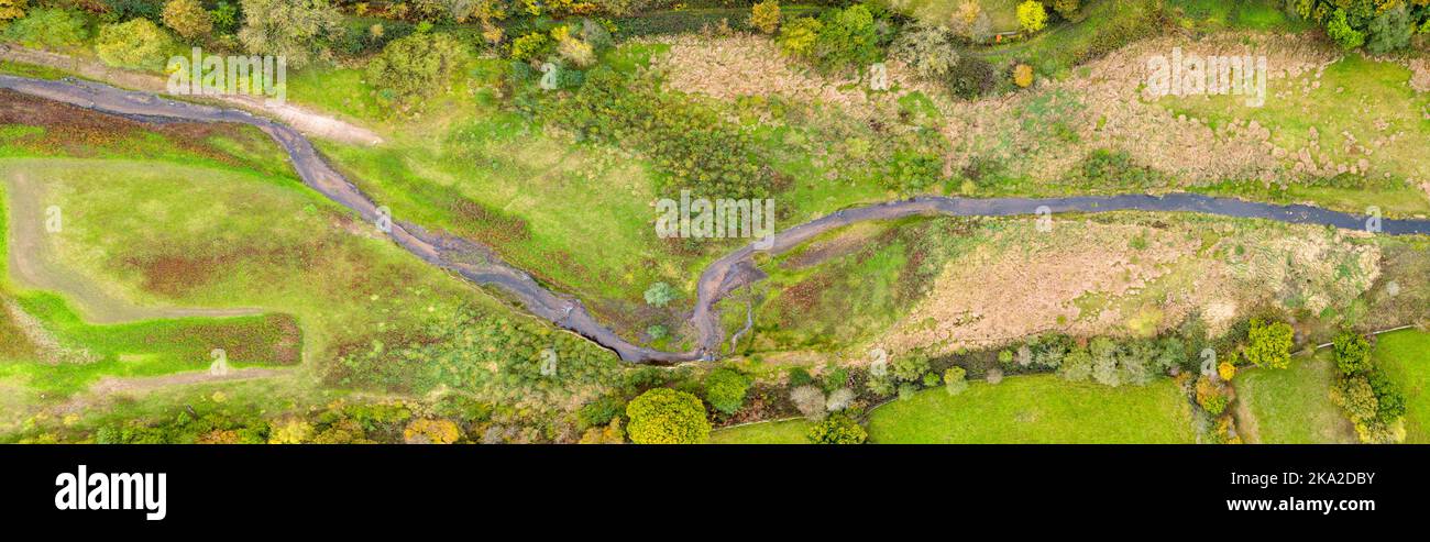 Aerial, panoramic view of River Washburn meander in North Yorkshire Stock Photohttps://www.alamy.com/image-license-details/?v=1https://www.alamy.com/aerial-panoramic-view-of-river-washburn-meander-in-north-yorkshire-image488091295.html
RM2KA2DBY–Aerial, panoramic view of River Washburn meander in North Yorkshire
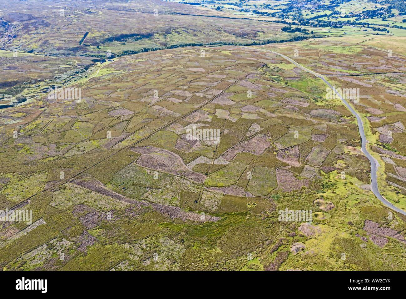 Grinton Moor above Swaledale in Yorkshire Dales, July. Aerial image showing patchwork pattern where moor has been burnt on rotation for maximising ha Stock Photohttps://www.alamy.com/image-license-details/?v=1https://www.alamy.com/grinton-moor-above-swaledale-in-yorkshire-dales-july-aerial-image-showing-patchwork-pattern-where-moor-has-been-burnt-on-rotation-for-maximising-ha-image273576007.html
RMWW2CYK–Grinton Moor above Swaledale in Yorkshire Dales, July. Aerial image showing patchwork pattern where moor has been burnt on rotation for maximising ha
 Above the trees in Middleham down by river Cover in North Yorkshire England. Stock Photohttps://www.alamy.com/image-license-details/?v=1https://www.alamy.com/above-the-trees-in-middleham-down-by-river-cover-in-north-yorkshire-england-image632917890.html
RF2YNKW6A–Above the trees in Middleham down by river Cover in North Yorkshire England.
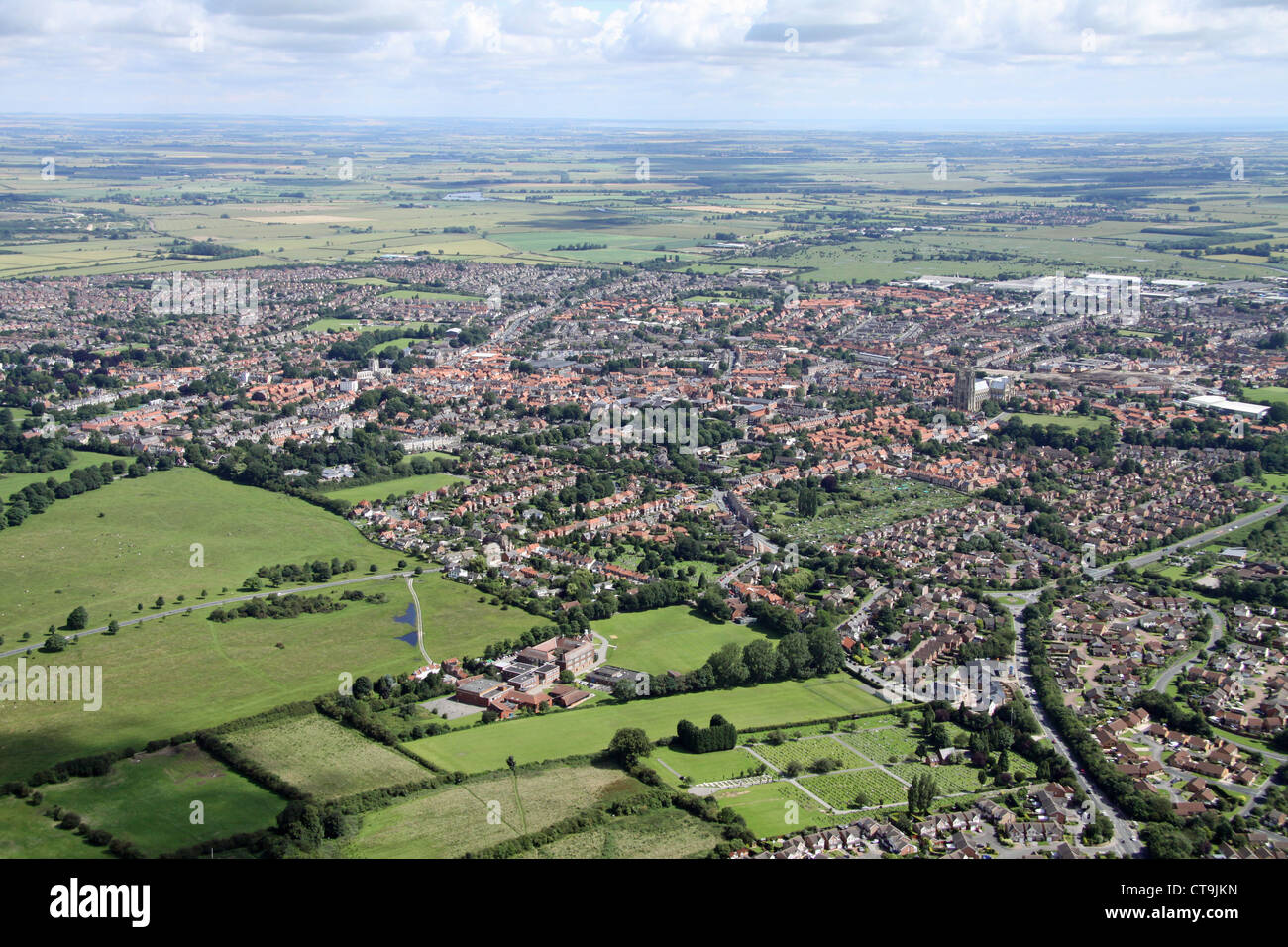 aerial view of Beverley town, East Yorkshire viewed from the south west Stock Photohttps://www.alamy.com/image-license-details/?v=1https://www.alamy.com/stock-photo-aerial-view-of-beverley-town-east-yorkshire-viewed-from-the-south-49384713.html
RMCT9JKN–aerial view of Beverley town, East Yorkshire viewed from the south west
