Yucatan chichen itza aerial Stock Photos and Images
(94)See yucatan chichen itza aerial stock video clipsQuick filters:
Yucatan chichen itza aerial Stock Photos and Images
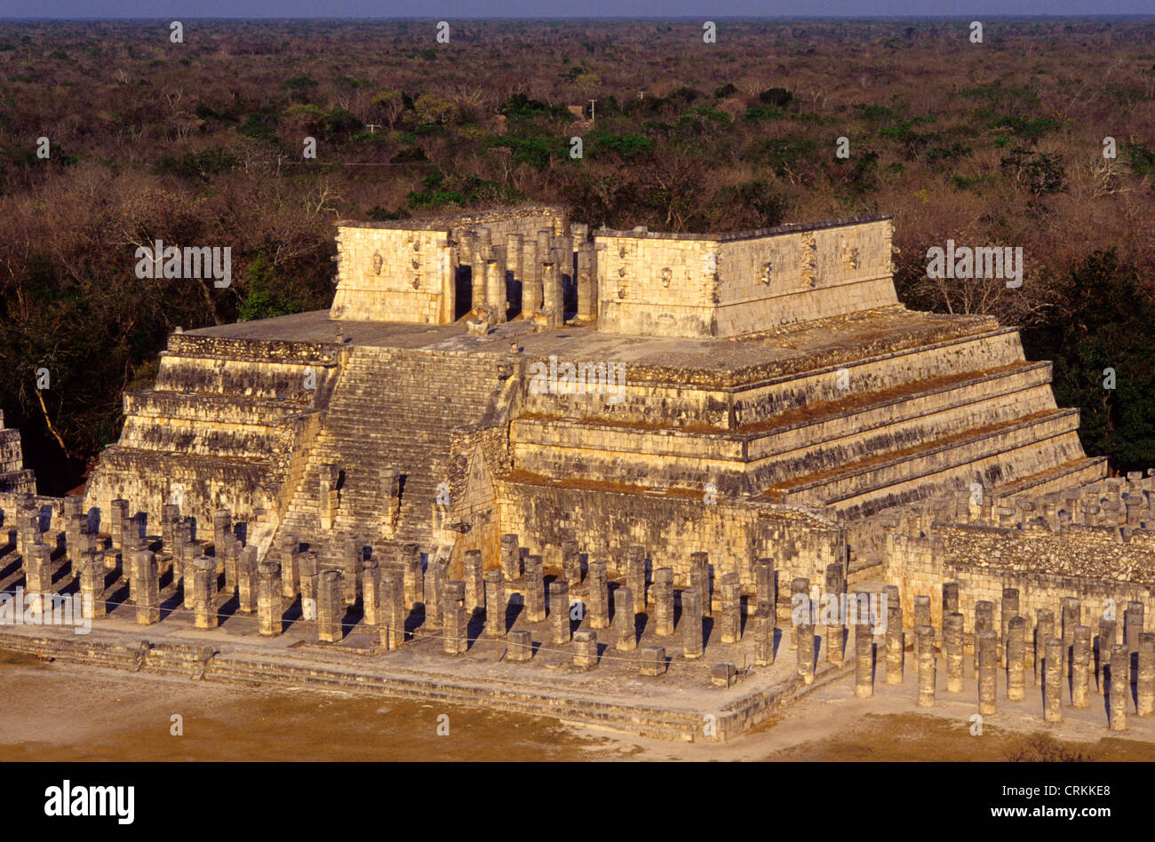 Temple of the Warriors. Chichen Itza. Yucatan.Mexico Stock Photohttps://www.alamy.com/image-license-details/?v=1https://www.alamy.com/stock-photo-temple-of-the-warriors-chichen-itza-yucatanmexico-48990208.html
RMCRKKE8–Temple of the Warriors. Chichen Itza. Yucatan.Mexico
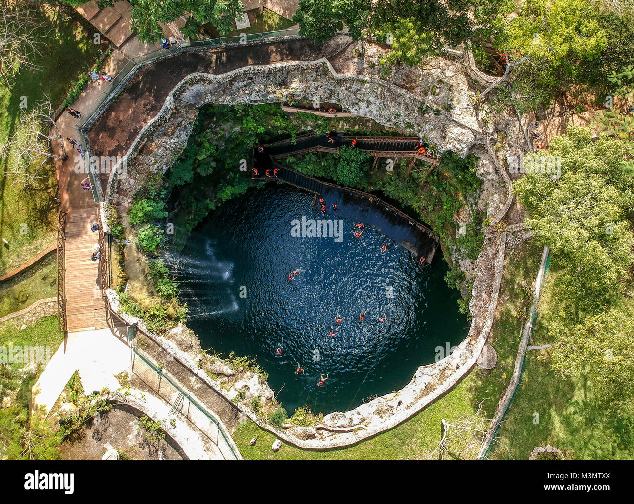 Aerial Shot of Cenote Zahamal, Mexico Stock Photohttps://www.alamy.com/image-license-details/?v=1https://www.alamy.com/stock-photo-aerial-shot-of-cenote-zahamal-mexico-174406258.html
RMM3MTXX–Aerial Shot of Cenote Zahamal, Mexico
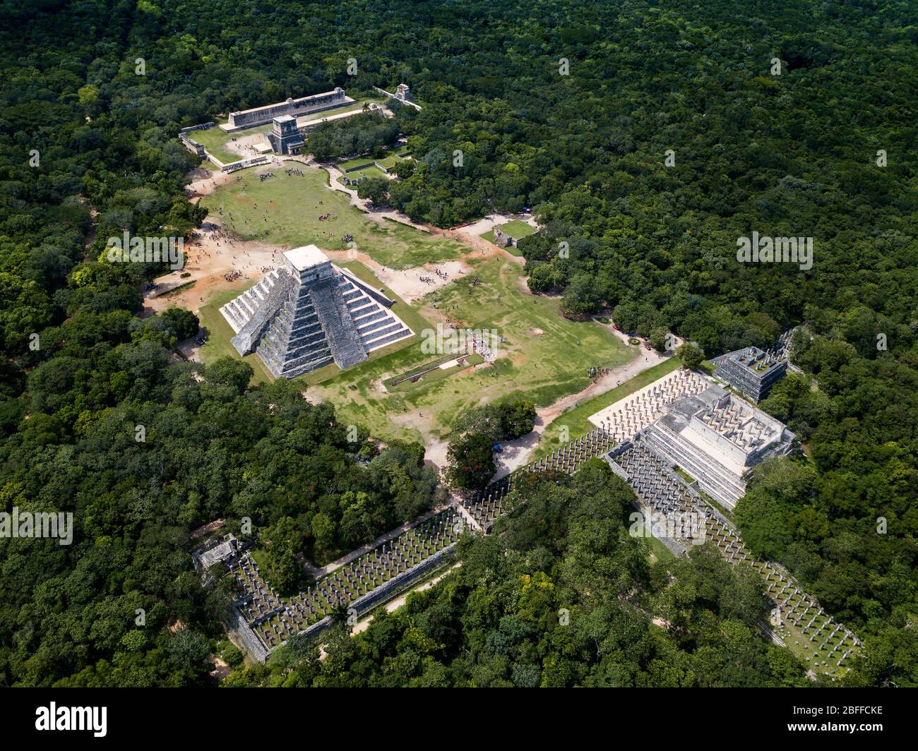 Aerial view of Mayan Ruin of Chichen Itza Archaeological Site Yucatan Peninsula, Quintana Roo, Caribbean Coast, Mexico Stock Photohttps://www.alamy.com/image-license-details/?v=1https://www.alamy.com/aerial-view-of-mayan-ruin-of-chichen-itza-archaeological-site-yucatan-peninsula-quintana-roo-caribbean-coast-mexico-image353766434.html
RM2BFFCKE–Aerial view of Mayan Ruin of Chichen Itza Archaeological Site Yucatan Peninsula, Quintana Roo, Caribbean Coast, Mexico
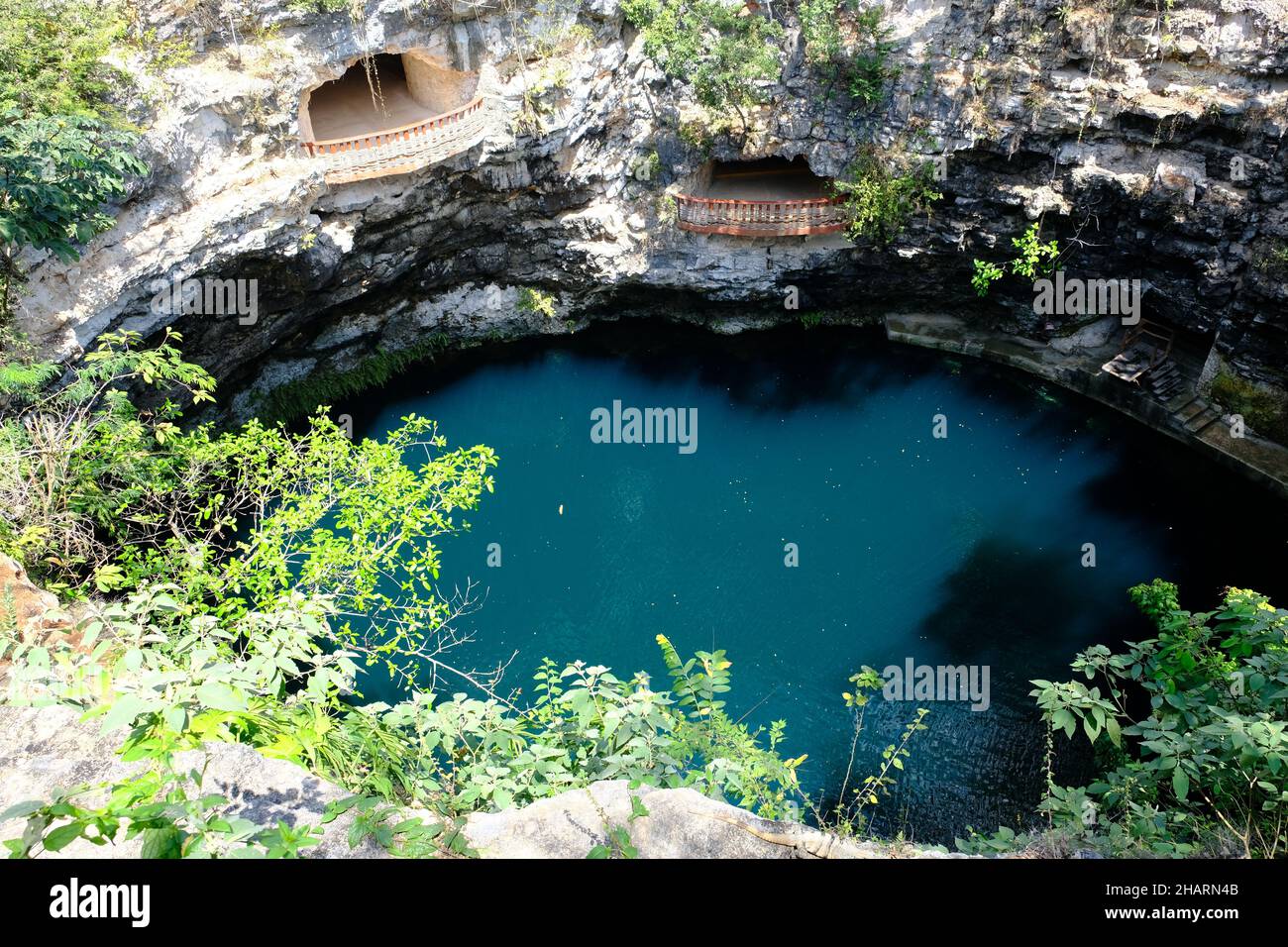 Mexico Chichen Itza - Merida - Cenote X-Cajum - open cenote with 4 lookout points Stock Photohttps://www.alamy.com/image-license-details/?v=1https://www.alamy.com/mexico-chichen-itza-merida-cenote-x-cajum-open-cenote-with-4-lookout-points-image454137611.html
RF2HARN4B–Mexico Chichen Itza - Merida - Cenote X-Cajum - open cenote with 4 lookout points
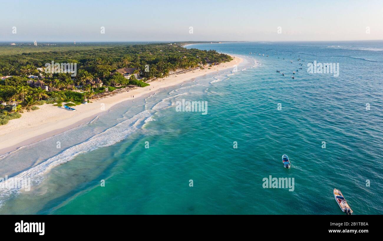 Aerial view of turquoise water Tulum beach Mexico North America Stock Photohttps://www.alamy.com/image-license-details/?v=1https://www.alamy.com/aerial-view-of-turquoise-water-tulum-beach-mexico-north-america-image345357890.html
RF2B1TBEA–Aerial view of turquoise water Tulum beach Mexico North America
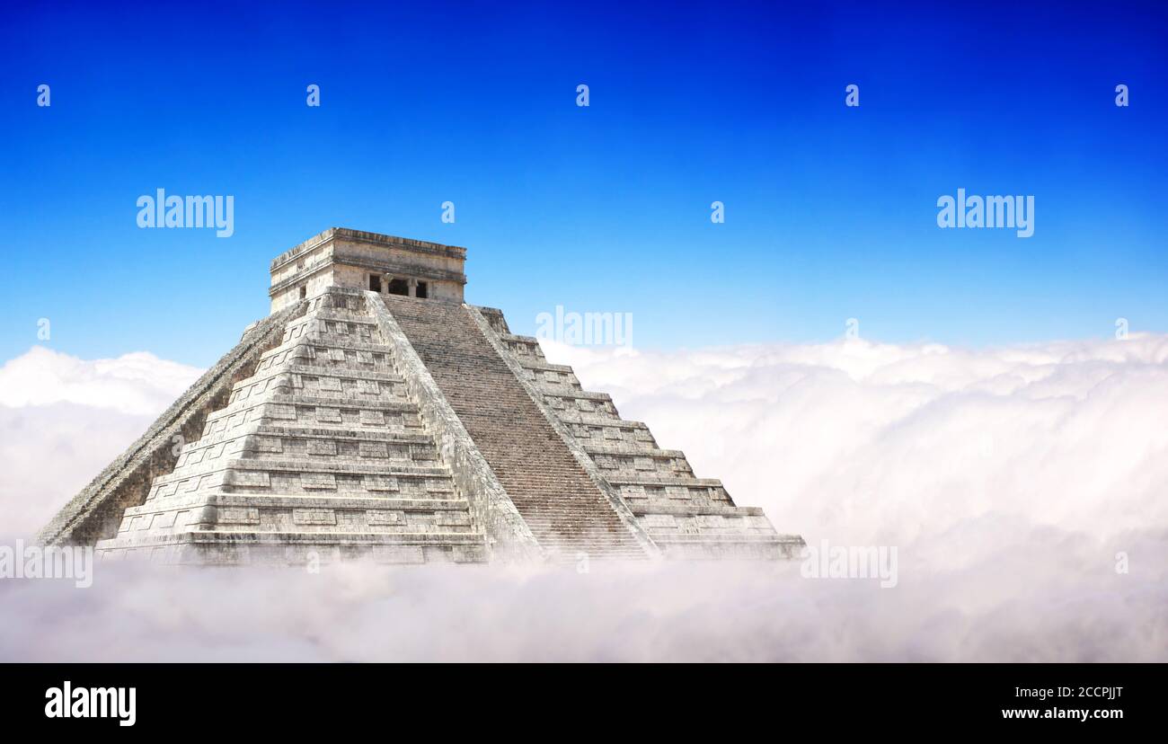 Giant Mayan Pyramid with a base hidden in the clouds. Horizontal banner with ancient pyramid of maya (Kukulcan Temple), Chichen Itza, Yucatan, Mexico. Stock Photohttps://www.alamy.com/image-license-details/?v=1https://www.alamy.com/giant-mayan-pyramid-with-a-base-hidden-in-the-clouds-horizontal-banner-with-ancient-pyramid-of-maya-kukulcan-temple-chichen-itza-yucatan-mexico-image369291184.html
RF2CCPJJT–Giant Mayan Pyramid with a base hidden in the clouds. Horizontal banner with ancient pyramid of maya (Kukulcan Temple), Chichen Itza, Yucatan, Mexico.
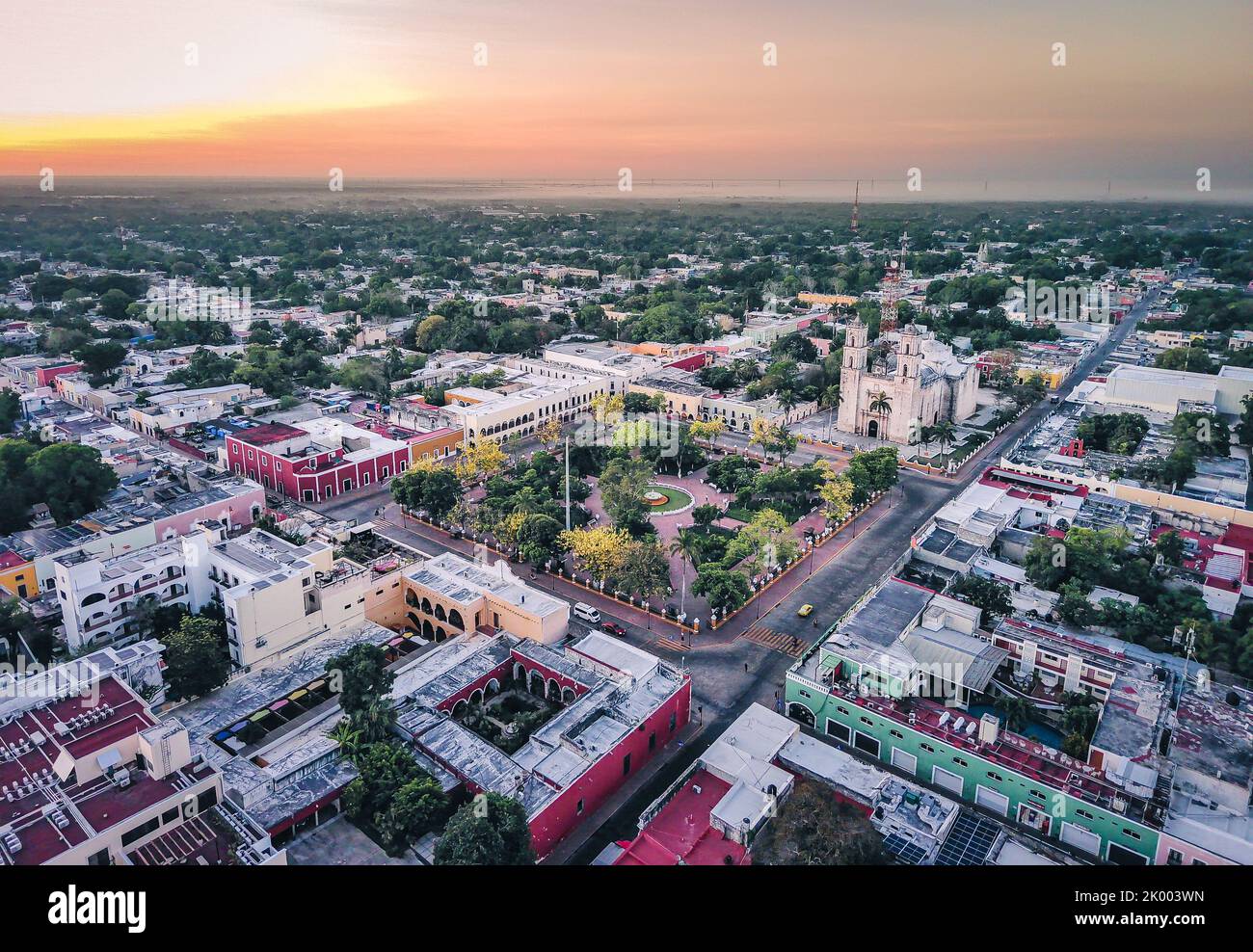 Aerial Drone Fly Above Valladolid City Yucatan Peninsula Mexican Tourism Pueblo Magico Stock Photohttps://www.alamy.com/image-license-details/?v=1https://www.alamy.com/aerial-drone-fly-above-valladolid-city-yucatan-peninsula-mexican-tourism-pueblo-magico-image481893377.html
RF2K003WN–Aerial Drone Fly Above Valladolid City Yucatan Peninsula Mexican Tourism Pueblo Magico
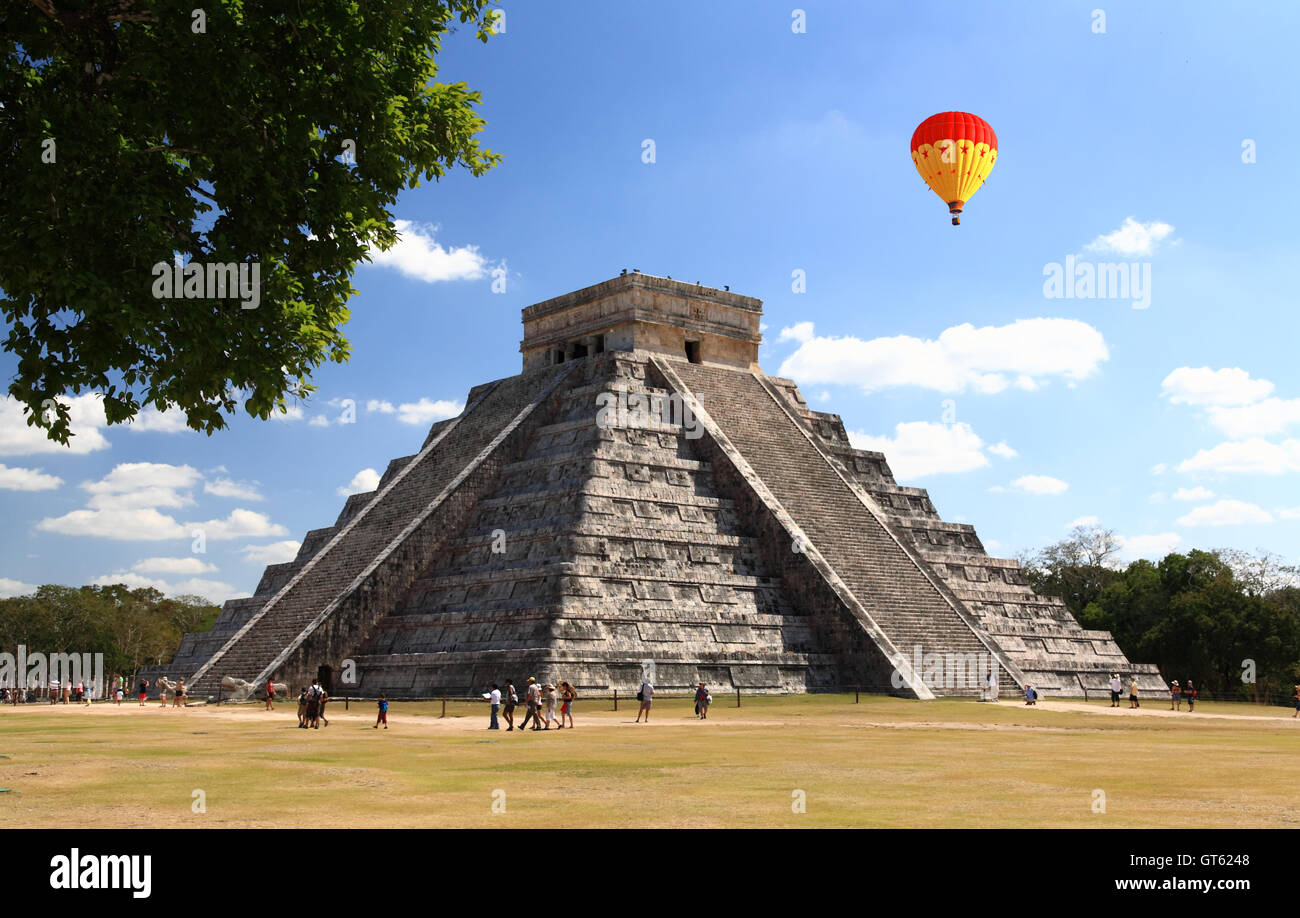 The temples of chichen itza temple in Mexico Stock Photohttps://www.alamy.com/image-license-details/?v=1https://www.alamy.com/stock-photo-the-temples-of-chichen-itza-temple-in-mexico-118147352.html
RFGT6248–The temples of chichen itza temple in Mexico
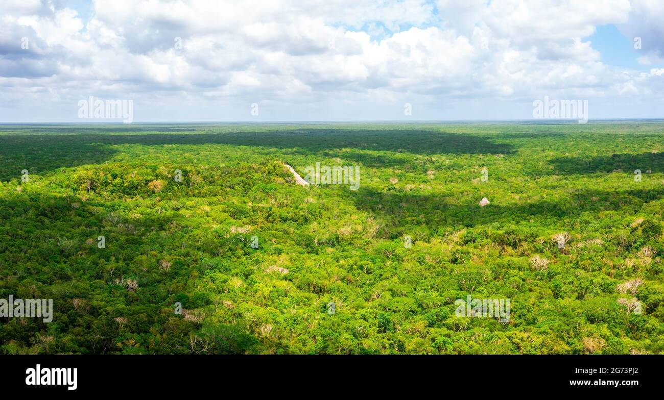 Aerial view of the Maya pyramid lost in the middle of a jungle. Stock Photohttps://www.alamy.com/image-license-details/?v=1https://www.alamy.com/aerial-view-of-the-maya-pyramid-lost-in-the-middle-of-a-jungle-image434645402.html
RF2G73PJ2–Aerial view of the Maya pyramid lost in the middle of a jungle.
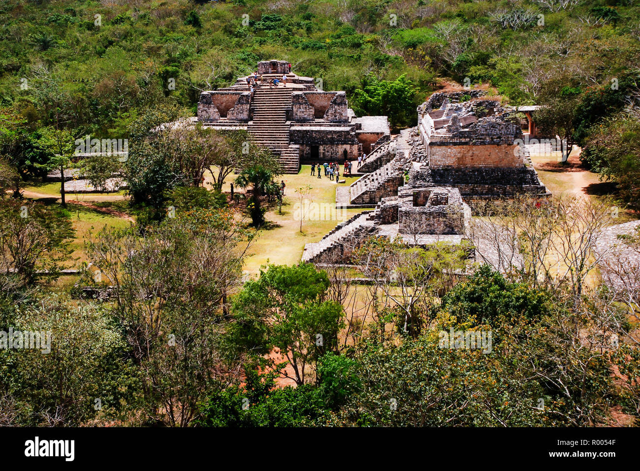 Coba, Mexico. Aerial view of ancient mayan city in Mexico. Coba is an archaeological area and a famous landmark of Yucatan Peninsula. Forest around th Stock Photohttps://www.alamy.com/image-license-details/?v=1https://www.alamy.com/coba-mexico-aerial-view-of-ancient-mayan-city-in-mexico-coba-is-an-archaeological-area-and-a-famous-landmark-of-yucatan-peninsula-forest-around-th-image223738831.html
RFR0054F–Coba, Mexico. Aerial view of ancient mayan city in Mexico. Coba is an archaeological area and a famous landmark of Yucatan Peninsula. Forest around th
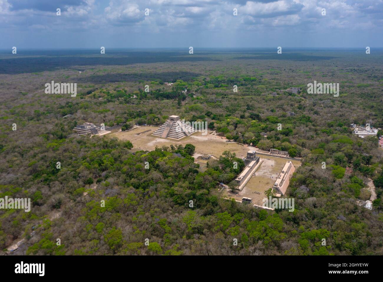 Aerial view of the beautiful Chicen Itza and Mayan Pyramid in Mexico surrounded with ground and greenery with ocean under cloudy sky during day Stock Photohttps://www.alamy.com/image-license-details/?v=1https://www.alamy.com/aerial-view-of-the-beautiful-chicen-itza-and-mayan-pyramid-in-mexico-surrounded-with-ground-and-greenery-with-ocean-under-cloudy-sky-during-day-image441312813.html
RF2GHYEYW–Aerial view of the beautiful Chicen Itza and Mayan Pyramid in Mexico surrounded with ground and greenery with ocean under cloudy sky during day
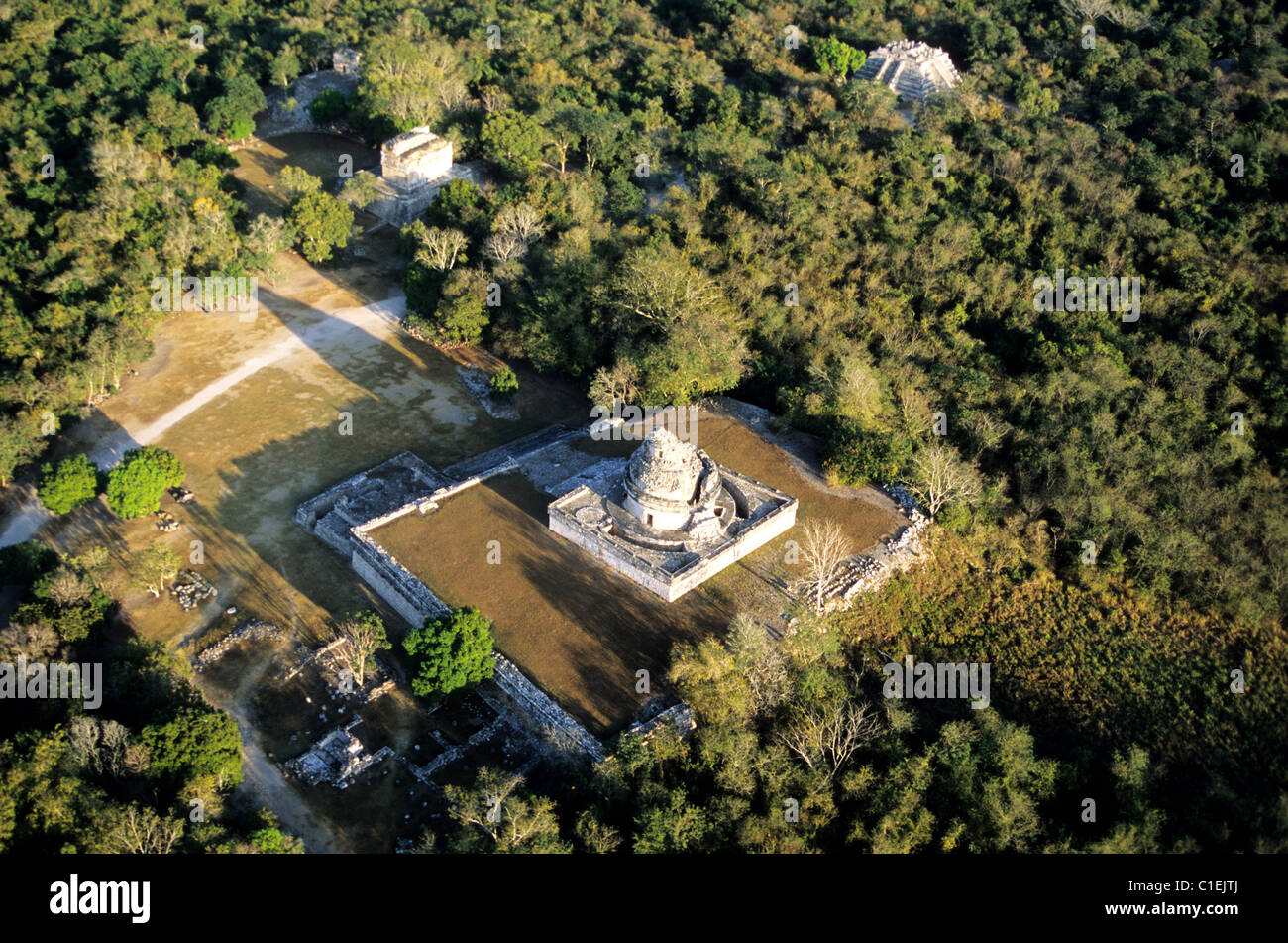 Mexico, Yucatan State, Mayan site of Chichen Itza (aerial view) Stock Photohttps://www.alamy.com/image-license-details/?v=1https://www.alamy.com/stock-photo-mexico-yucatan-state-mayan-site-of-chichen-itza-aerial-view-35357522.html
RMC1EJTJ–Mexico, Yucatan State, Mayan site of Chichen Itza (aerial view)
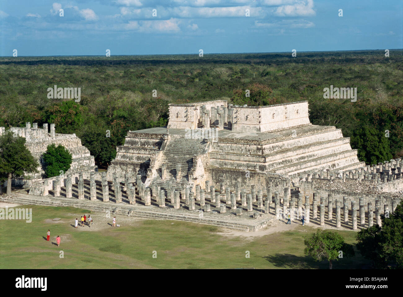 Temple of the Warriors, Chichen Itza, UNESCO World Heritage Site, Yucatan, Mexico, North America Stock Photohttps://www.alamy.com/image-license-details/?v=1https://www.alamy.com/stock-photo-temple-of-the-warriors-chichen-itza-unesco-world-heritage-site-yucatan-20517580.html
RMB5AJAM–Temple of the Warriors, Chichen Itza, UNESCO World Heritage Site, Yucatan, Mexico, North America
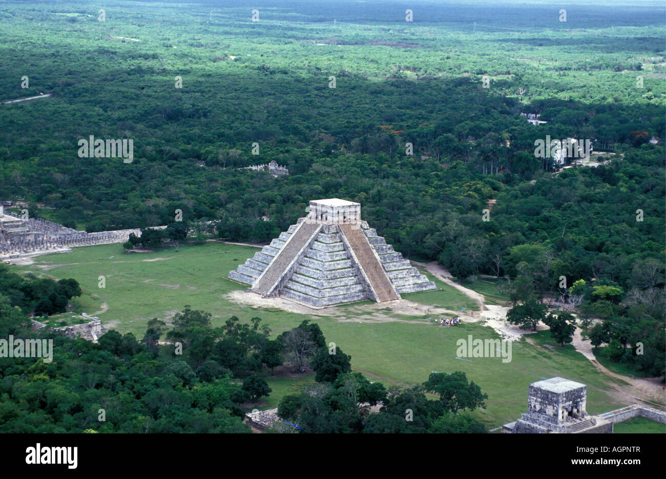 Mexico, Chetumal, Maya pyramids of Chichen Itza Stock Photohttps://www.alamy.com/image-license-details/?v=1https://www.alamy.com/stock-photo-mexico-chetumal-maya-pyramids-of-chichen-itza-14263606.html
RMAGPNTR–Mexico, Chetumal, Maya pyramids of Chichen Itza
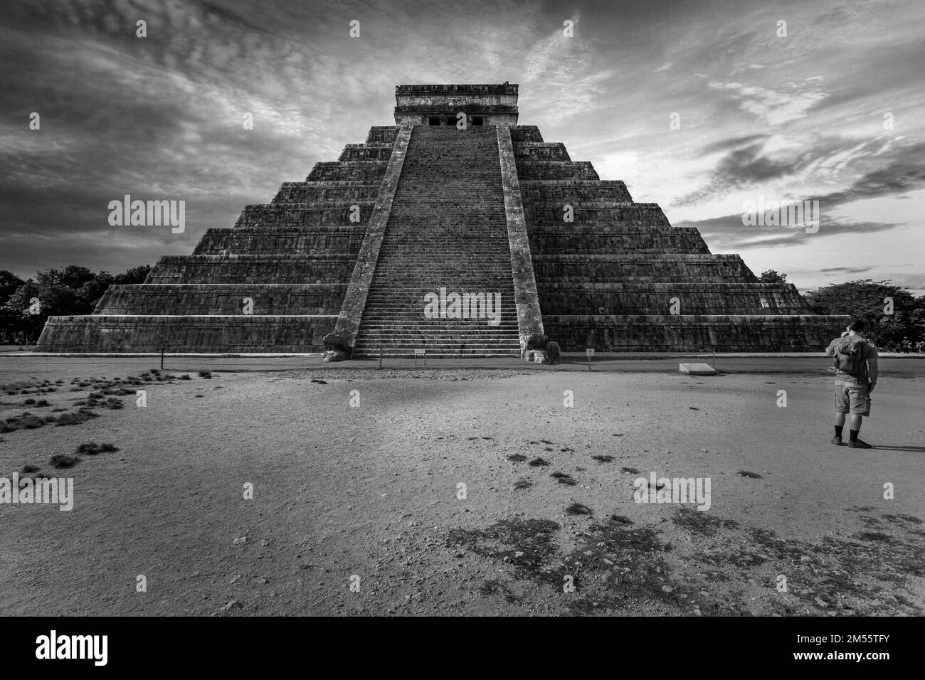 An aerial view of Chichen Itza building in Yucatan Stock Photohttps://www.alamy.com/image-license-details/?v=1https://www.alamy.com/an-aerial-view-of-chichen-itza-building-in-yucatan-image502302975.html
RF2M55TFY–An aerial view of Chichen Itza building in Yucatan
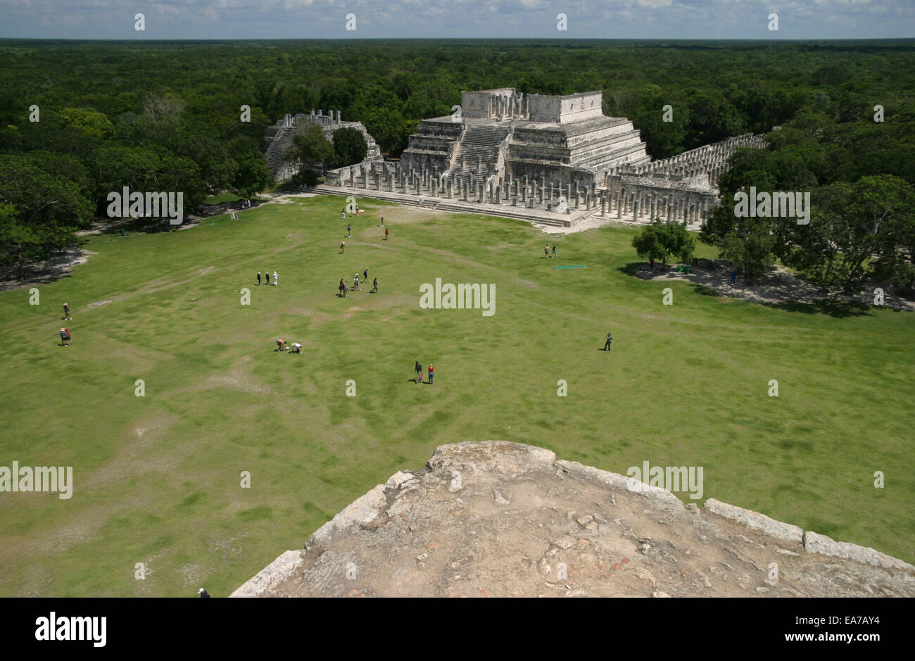 Aerial view of the Temple of the Warriors in the Chichen Itza ruins in the Mayan Riviera, Yucatan Peninsula, Mexico Stock Photohttps://www.alamy.com/image-license-details/?v=1https://www.alamy.com/stock-photo-aerial-view-of-the-temple-of-the-warriors-in-the-chichen-itza-ruins-75150296.html
RMEA7AY4–Aerial view of the Temple of the Warriors in the Chichen Itza ruins in the Mayan Riviera, Yucatan Peninsula, Mexico
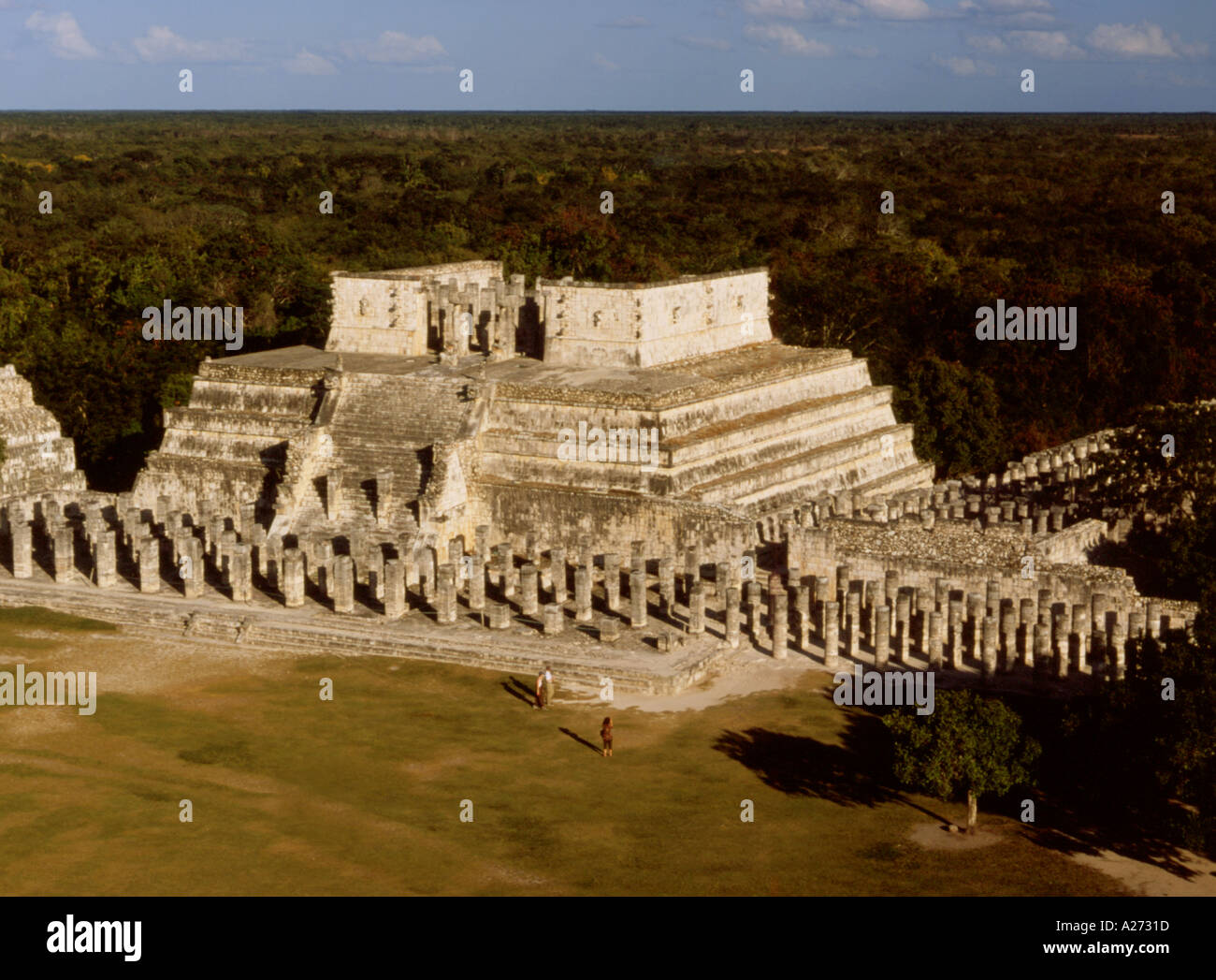 Mexico Yucatan Chichen Itza Temple of Warriors Stock Photohttps://www.alamy.com/image-license-details/?v=1https://www.alamy.com/mexico-yucatan-chichen-itza-temple-of-warriors-image160541.html
RMA2731D–Mexico Yucatan Chichen Itza Temple of Warriors
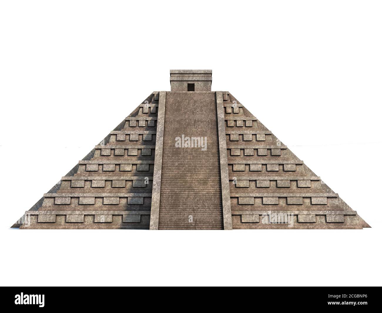 Mayan pyramid isolated on white 3d rendering Stock Photohttps://www.alamy.com/image-license-details/?v=1https://www.alamy.com/mayan-pyramid-isolated-on-white-3d-rendering-image371510782.html
RF2CGBNP6–Mayan pyramid isolated on white 3d rendering
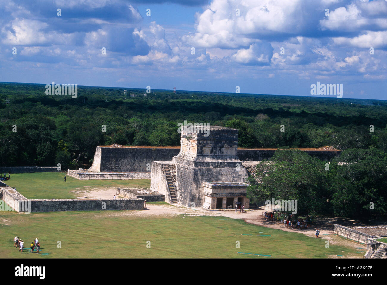 Aerial view of the great Ball Court Gran juego de Pelota seen from the top of El Castillo at Chichen Itza in Mexico Stock Photohttps://www.alamy.com/image-license-details/?v=1https://www.alamy.com/aerial-view-of-the-great-ball-court-gran-juego-de-pelota-seen-from-image2636158.html
RMAGK97F–Aerial view of the great Ball Court Gran juego de Pelota seen from the top of El Castillo at Chichen Itza in Mexico
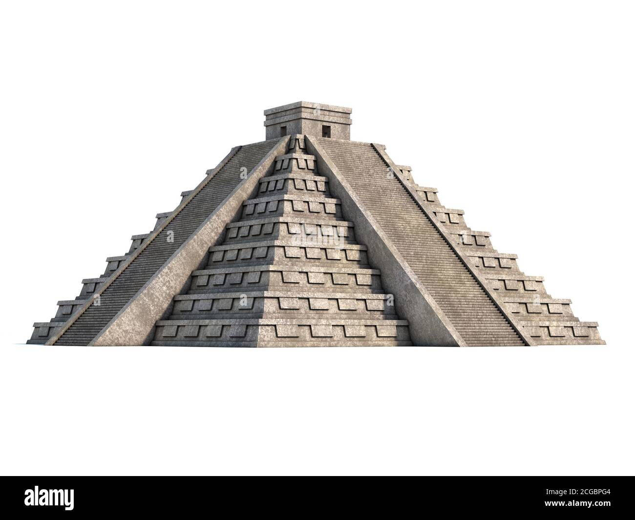 Mayan pyramid isolated on white 3d rendering Stock Photohttps://www.alamy.com/image-license-details/?v=1https://www.alamy.com/mayan-pyramid-isolated-on-white-3d-rendering-image371511396.html
RF2CGBPG4–Mayan pyramid isolated on white 3d rendering
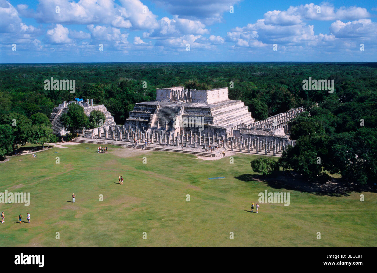 Aerial view of the Temple of Warriors, Chichen Itza ,Yucatan, Mexico Stock Photohttps://www.alamy.com/image-license-details/?v=1https://www.alamy.com/stock-photo-aerial-view-of-the-temple-of-warriors-chichen-itza-yucatan-mexico-26176440.html
RFBEGC8T–Aerial view of the Temple of Warriors, Chichen Itza ,Yucatan, Mexico
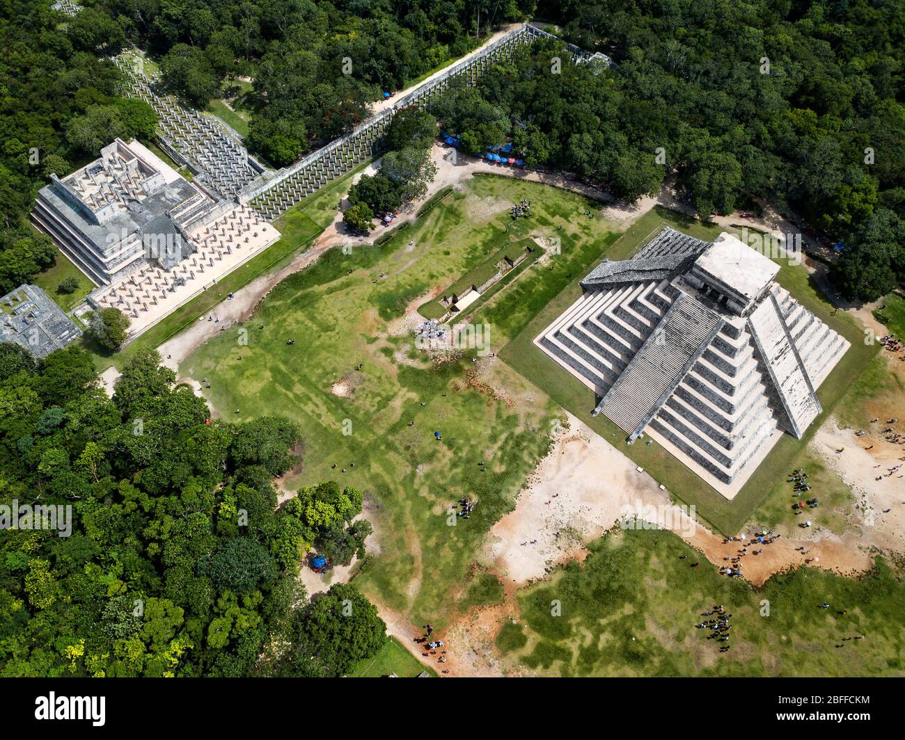 Aerial view of Mayan Ruin of Chichen Itza Archaeological Site Yucatan Peninsula, Quintana Roo, Caribbean Coast, Mexico Stock Photohttps://www.alamy.com/image-license-details/?v=1https://www.alamy.com/aerial-view-of-mayan-ruin-of-chichen-itza-archaeological-site-yucatan-peninsula-quintana-roo-caribbean-coast-mexico-image353766440.html
RM2BFFCKM–Aerial view of Mayan Ruin of Chichen Itza Archaeological Site Yucatan Peninsula, Quintana Roo, Caribbean Coast, Mexico
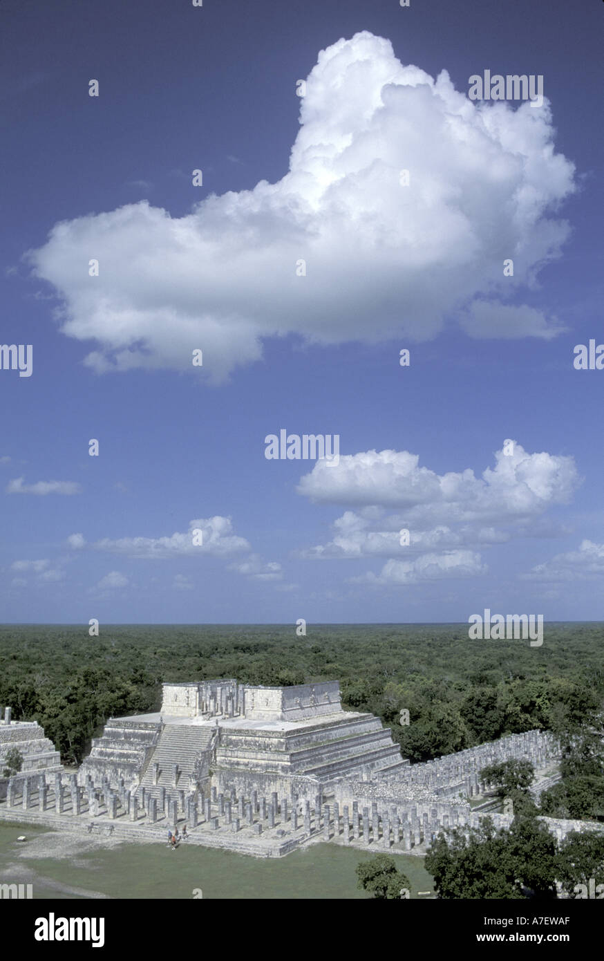 NA, Mexico, Yucatan Peninsula, Yucatan. Chichen Itza Stock Photohttps://www.alamy.com/image-license-details/?v=1https://www.alamy.com/na-mexico-yucatan-peninsula-yucatan-chichen-itza-image3858862.html
RMA7EWAF–NA, Mexico, Yucatan Peninsula, Yucatan. Chichen Itza
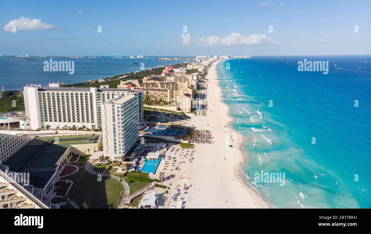 Aerial view of turquoise water Tulum beach Mexico North America Stock Photohttps://www.alamy.com/image-license-details/?v=1https://www.alamy.com/aerial-view-of-turquoise-water-tulum-beach-mexico-north-america-image345358037.html
RF2B1TBKH–Aerial view of turquoise water Tulum beach Mexico North America
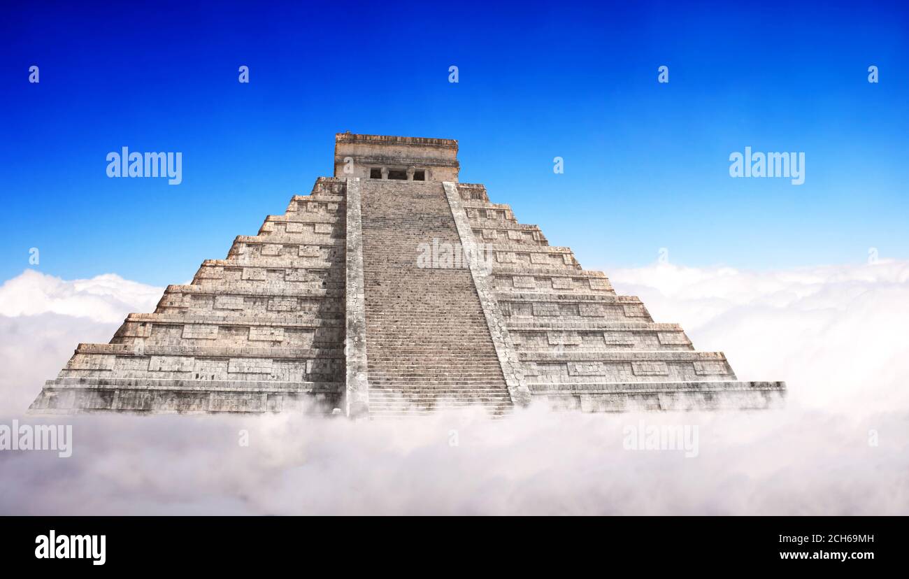 Giant Mayan Pyramid with a base hidden in the clouds. Horizontal banner with ancient pyramid of maya (Kukulcan Temple), Chichen Itza, Yucatan, Mexico. Stock Photohttps://www.alamy.com/image-license-details/?v=1https://www.alamy.com/giant-mayan-pyramid-with-a-base-hidden-in-the-clouds-horizontal-banner-with-ancient-pyramid-of-maya-kukulcan-temple-chichen-itza-yucatan-mexico-image372006225.html
RF2CH69MH–Giant Mayan Pyramid with a base hidden in the clouds. Horizontal banner with ancient pyramid of maya (Kukulcan Temple), Chichen Itza, Yucatan, Mexico.
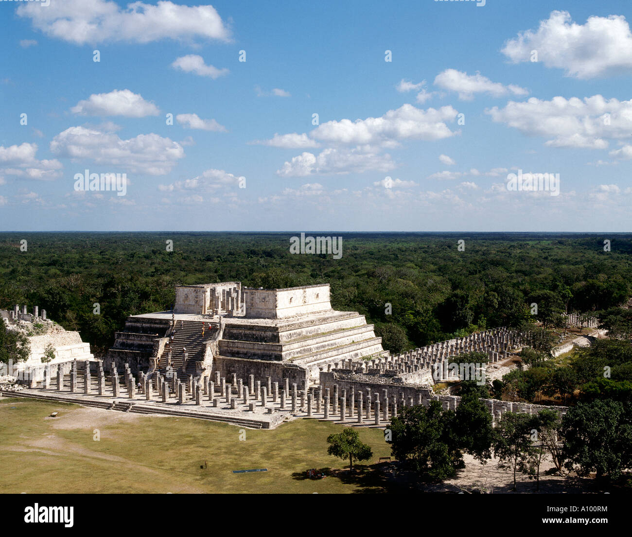 Looking towards the Group of the Thousand Columns around the Temple of Warriors at the archaeological site of Chichen Itza Stock Photohttps://www.alamy.com/image-license-details/?v=1https://www.alamy.com/stock-photo-looking-towards-the-group-of-the-thousand-columns-around-the-temple-10098199.html
RMA100RM–Looking towards the Group of the Thousand Columns around the Temple of Warriors at the archaeological site of Chichen Itza
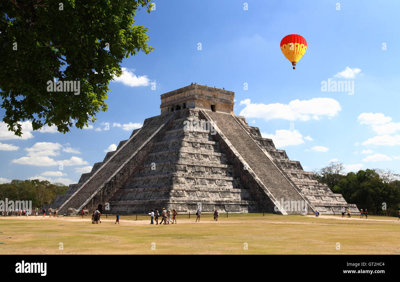 The temples of chichen itza temple in Mexico Stock Photohttps://www.alamy.com/image-license-details/?v=1https://www.alamy.com/stock-photo-the-temples-of-chichen-itza-temple-in-mexico-118071524.html
RFGT2HC4–The temples of chichen itza temple in Mexico
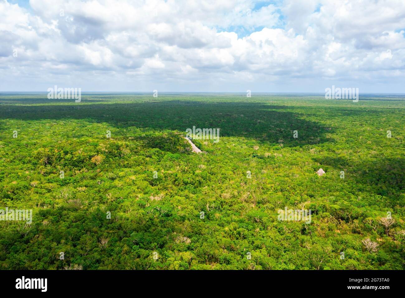 Aerial view of the Maya pyramid lost in the middle of a jungle. Stock Photohttps://www.alamy.com/image-license-details/?v=1https://www.alamy.com/aerial-view-of-the-maya-pyramid-lost-in-the-middle-of-a-jungle-image434646744.html
RF2G73TA0–Aerial view of the Maya pyramid lost in the middle of a jungle.
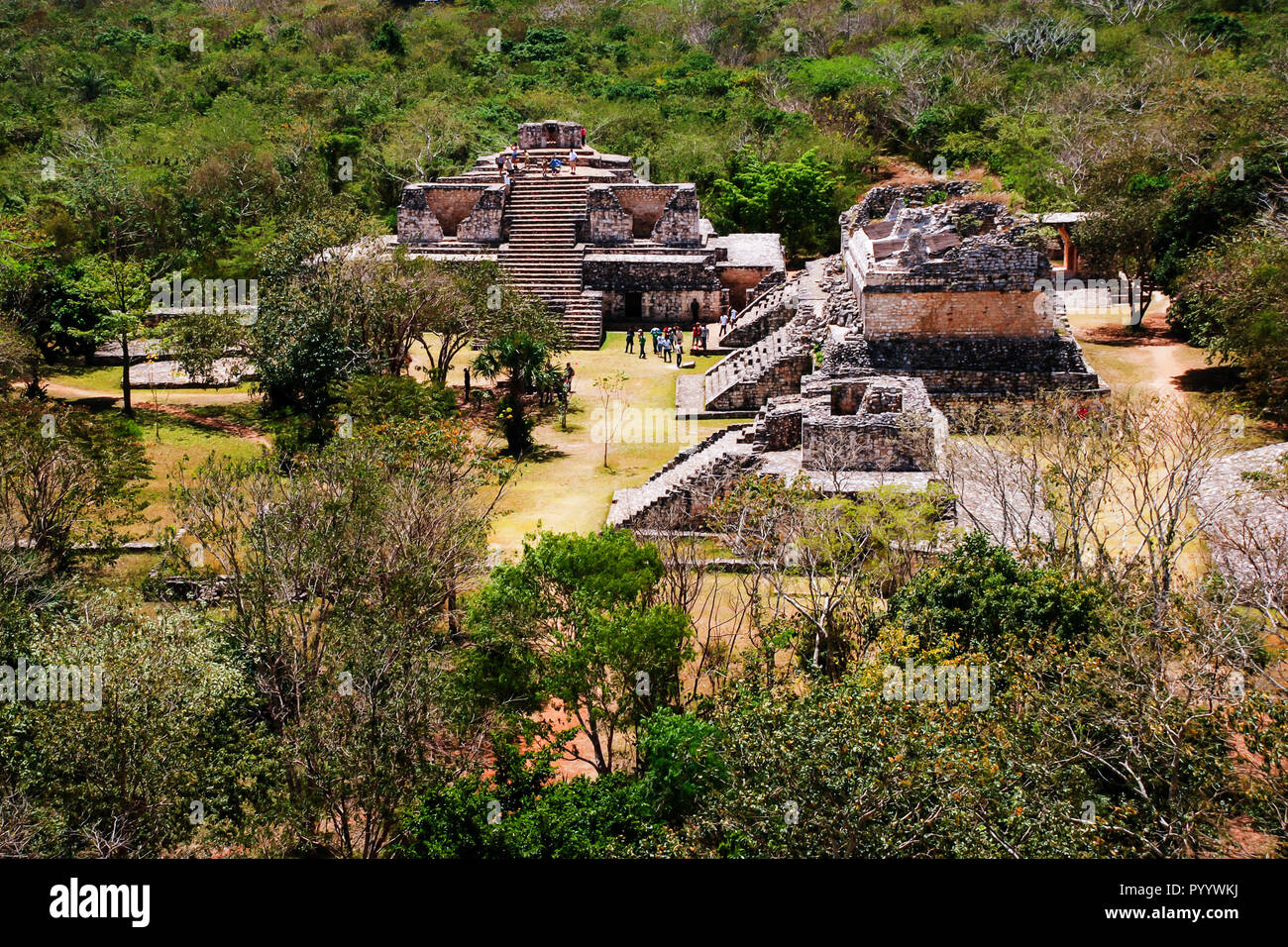 Coba, Mexico. Aerial view of ancient mayan city in Mexico. Coba is an archaeological area and a famous landmark of Yucatan Peninsula. Forest around th Stock Photohttps://www.alamy.com/image-license-details/?v=1https://www.alamy.com/coba-mexico-aerial-view-of-ancient-mayan-city-in-mexico-coba-is-an-archaeological-area-and-a-famous-landmark-of-yucatan-peninsula-forest-around-th-image223732982.html
RFPYYWKJ–Coba, Mexico. Aerial view of ancient mayan city in Mexico. Coba is an archaeological area and a famous landmark of Yucatan Peninsula. Forest around th
 Cancun Chichen Itza April Stock Photohttps://www.alamy.com/image-license-details/?v=1https://www.alamy.com/stock-photo-cancun-chichen-itza-april-12740256.html
RMAB0T2W–Cancun Chichen Itza April
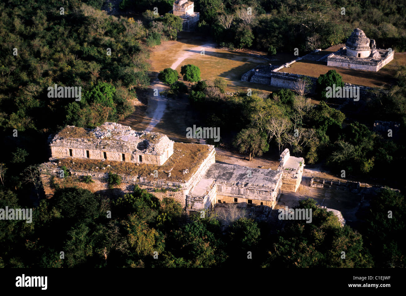 Mexico, Yucatan State, Mayan site of Chichen Itza (aerial view) Stock Photohttps://www.alamy.com/image-license-details/?v=1https://www.alamy.com/stock-photo-mexico-yucatan-state-mayan-site-of-chichen-itza-aerial-view-35357547.html
RMC1EJWF–Mexico, Yucatan State, Mayan site of Chichen Itza (aerial view)
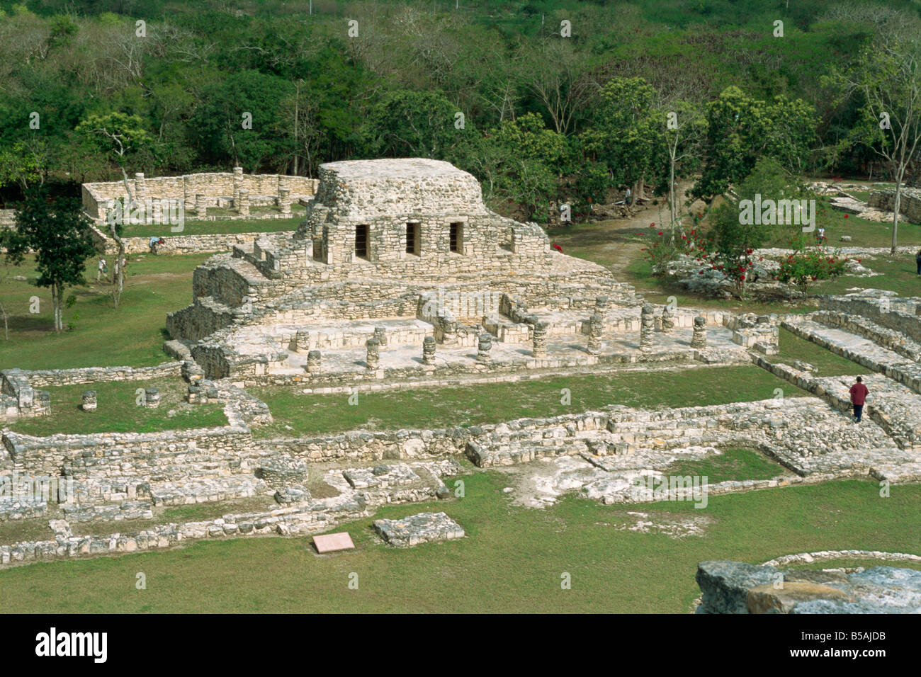 Mayapan, former Mayan capital after fall of Chichen Itza, Yucatan, Mexico, North America Stock Photohttps://www.alamy.com/image-license-details/?v=1https://www.alamy.com/stock-photo-mayapan-former-mayan-capital-after-fall-of-chichen-itza-yucatan-mexico-20517655.html
RMB5AJDB–Mayapan, former Mayan capital after fall of Chichen Itza, Yucatan, Mexico, North America
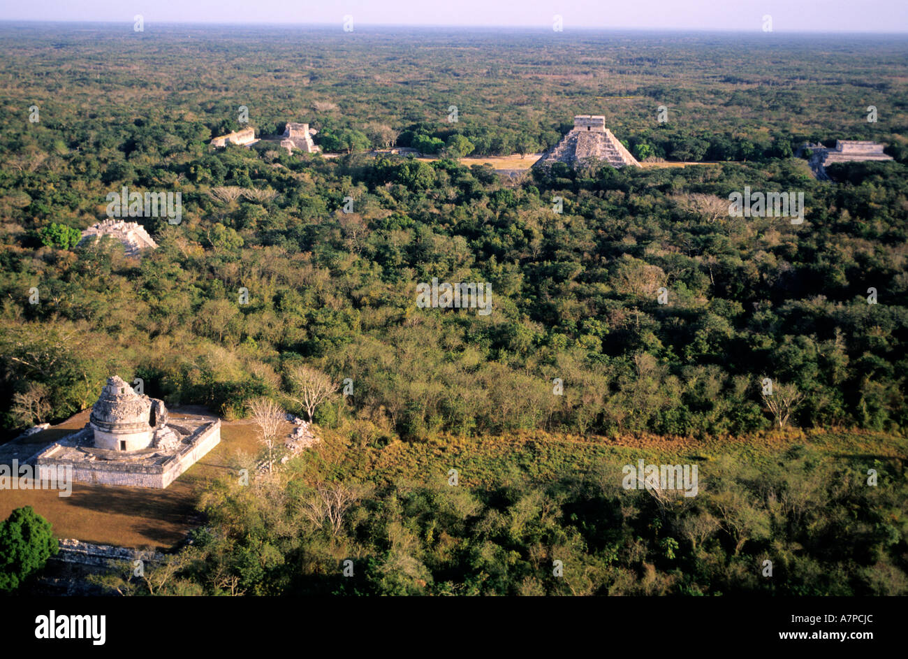 Mexico, Yucatan State, Mayan site of Chichen Itza (aerial view) Stock Photohttps://www.alamy.com/image-license-details/?v=1https://www.alamy.com/mexico-yucatan-state-mayan-site-of-chichen-itza-aerial-view-image6794027.html
RMA7PCJC–Mexico, Yucatan State, Mayan site of Chichen Itza (aerial view)
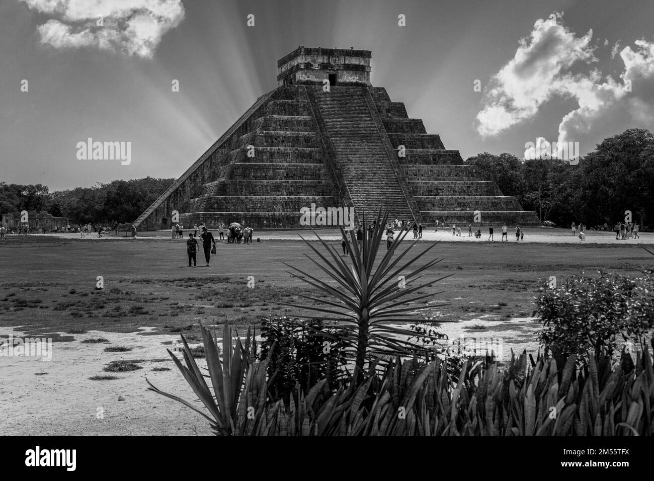 An aerial view of Chichen Itza building in Yucatan Stock Photohttps://www.alamy.com/image-license-details/?v=1https://www.alamy.com/an-aerial-view-of-chichen-itza-building-in-yucatan-image502302974.html
RF2M55TFX–An aerial view of Chichen Itza building in Yucatan
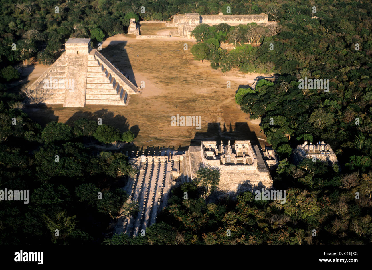 Mexico, Yucatan State, Mayan site of Chichen Itza (aerial view) Stock Photohttps://www.alamy.com/image-license-details/?v=1https://www.alamy.com/stock-photo-mexico-yucatan-state-mayan-site-of-chichen-itza-aerial-view-35357492.html
RMC1EJRG–Mexico, Yucatan State, Mayan site of Chichen Itza (aerial view)
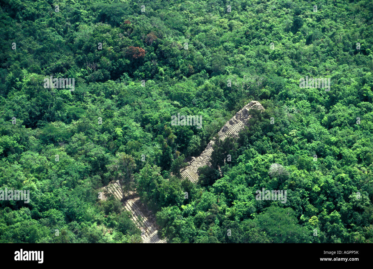 Mexico, Chetumal, Maya pyramid covered in jungle near Chichen Itza Stock Photohttps://www.alamy.com/image-license-details/?v=1https://www.alamy.com/stock-photo-mexico-chetumal-maya-pyramid-covered-in-jungle-near-chichen-itza-14263710.html
RMAGPP5K–Mexico, Chetumal, Maya pyramid covered in jungle near Chichen Itza
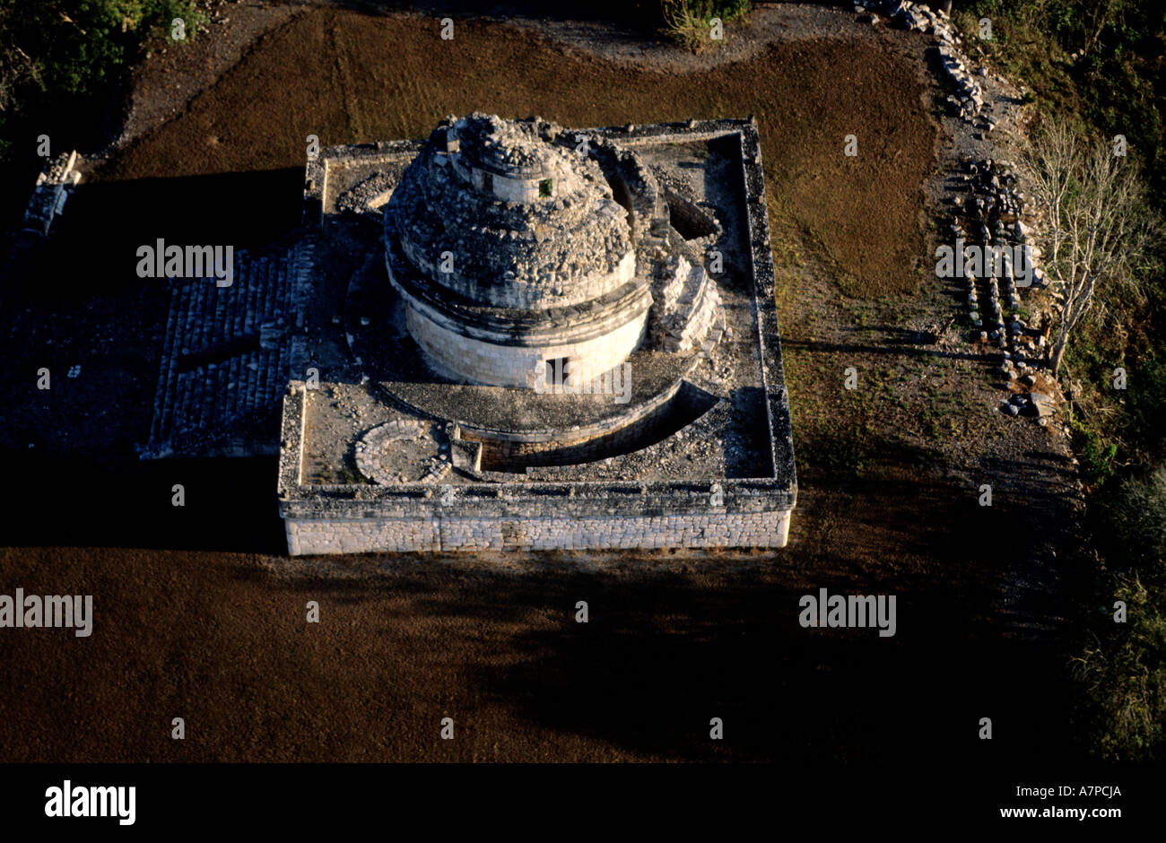 Mexico, Yucatan State, Mayan site of Chichen Itza, caracol or observatory (aerial view) Stock Photohttps://www.alamy.com/image-license-details/?v=1https://www.alamy.com/mexico-yucatan-state-mayan-site-of-chichen-itza-caracol-or-observatory-image6794025.html
RMA7PCJA–Mexico, Yucatan State, Mayan site of Chichen Itza, caracol or observatory (aerial view)
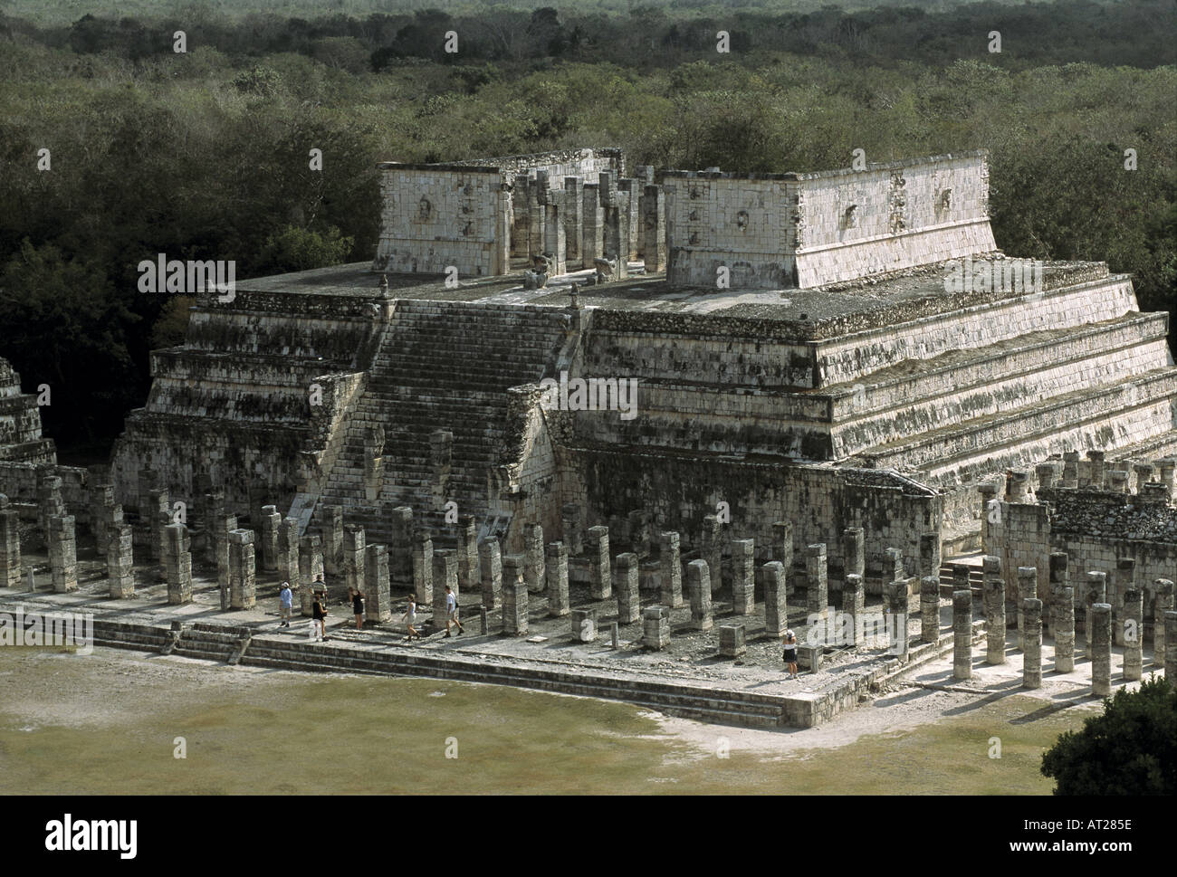 Mexico ChiChen Itza Mayan ruins Stock Photohttps://www.alamy.com/image-license-details/?v=1https://www.alamy.com/mexico-chichen-itza-mayan-ruins-image1648733.html
RMAT285E–Mexico ChiChen Itza Mayan ruins
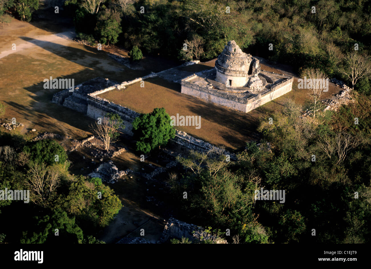 Mexico, Yucatan State, Mayan site of Chichen Itza, the caracol or observatory (aerial view) Stock Photohttps://www.alamy.com/image-license-details/?v=1https://www.alamy.com/stock-photo-mexico-yucatan-state-mayan-site-of-chichen-itza-the-caracol-or-observatory-35357513.html
RMC1EJT9–Mexico, Yucatan State, Mayan site of Chichen Itza, the caracol or observatory (aerial view)
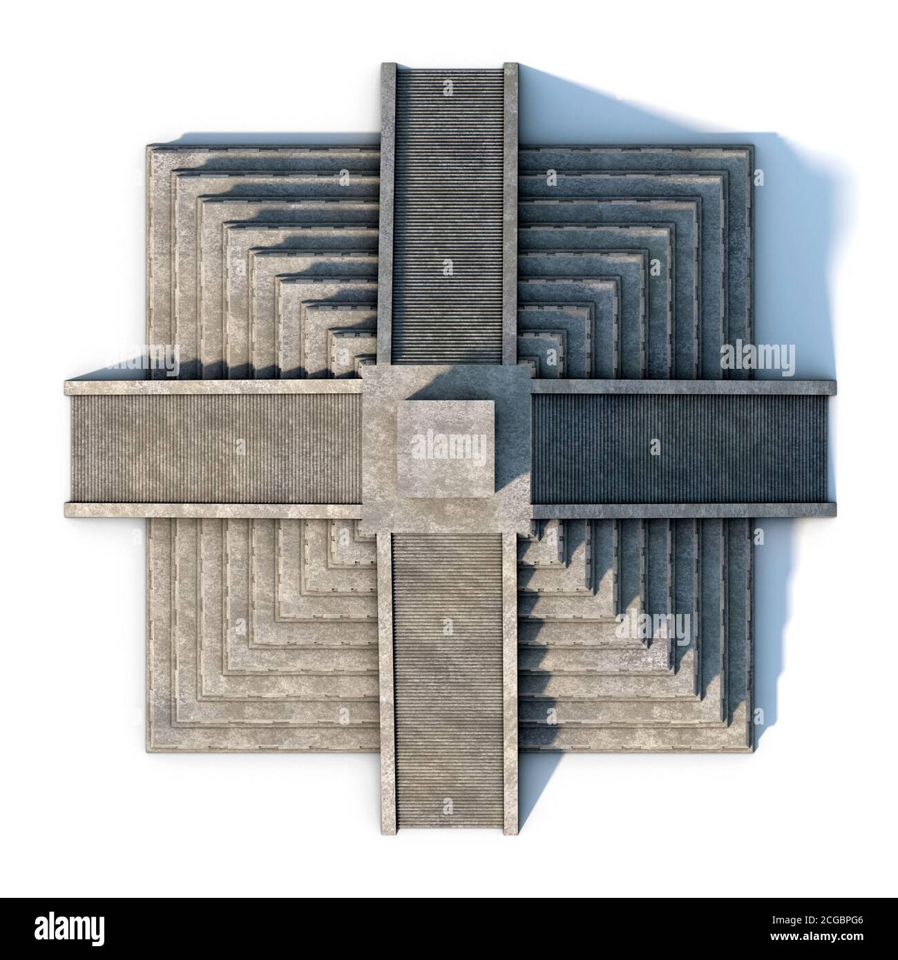 Mayan pyramid satellite view 3d rendering Stock Photohttps://www.alamy.com/image-license-details/?v=1https://www.alamy.com/mayan-pyramid-satellite-view-3d-rendering-image371511398.html
RF2CGBPG6–Mayan pyramid satellite view 3d rendering
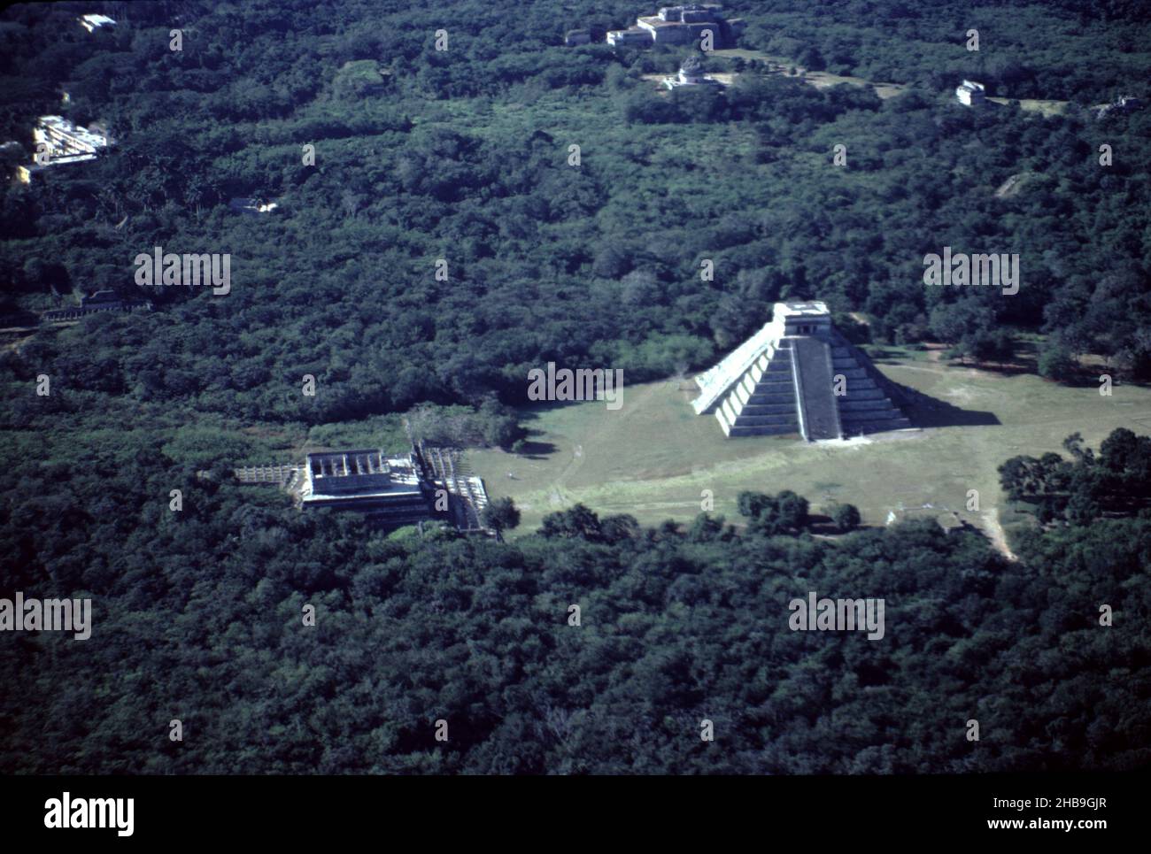 Chichen Itza Mexico. 12/27/1985. Aerial image of Chichen Itza ruins Stock Photohttps://www.alamy.com/image-license-details/?v=1https://www.alamy.com/chichen-itza-mexico-12271985-aerial-image-of-chichen-itza-ruins-image454441423.html
RM2HB9GJR–Chichen Itza Mexico. 12/27/1985. Aerial image of Chichen Itza ruins
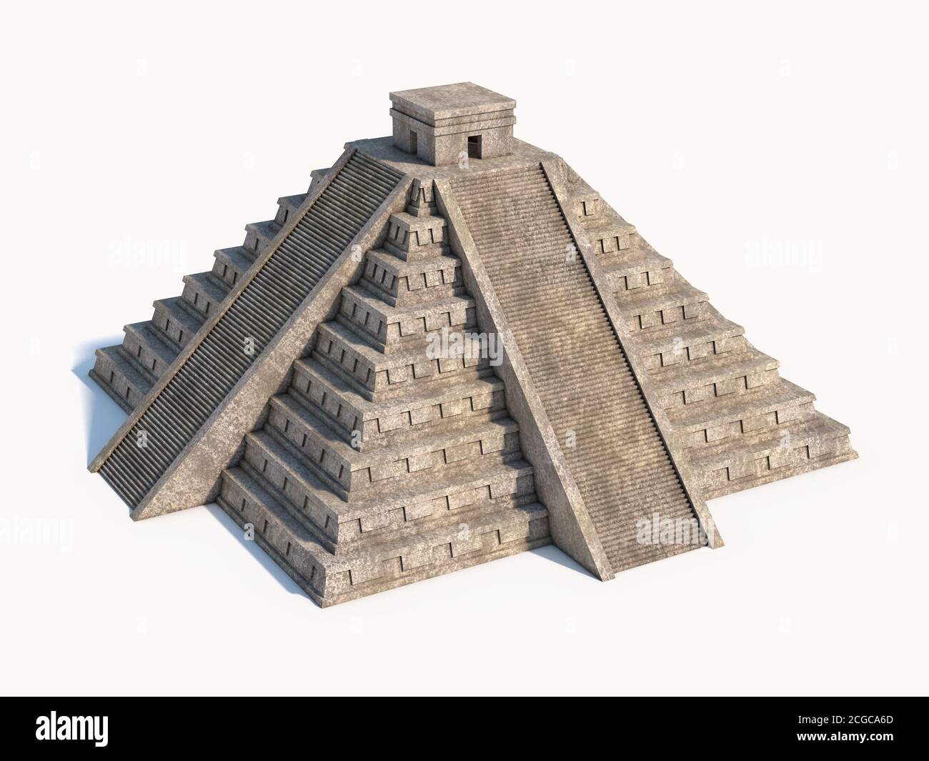 Mayan pyramid isolated on white 3d rendering Stock Photohttps://www.alamy.com/image-license-details/?v=1https://www.alamy.com/mayan-pyramid-isolated-on-white-3d-rendering-image371523669.html
RF2CGCA6D–Mayan pyramid isolated on white 3d rendering
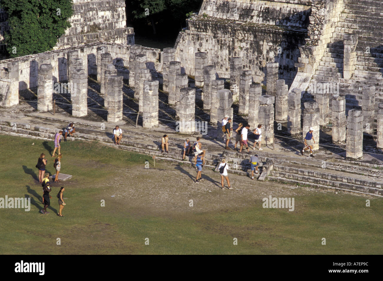 Mexico, Yucatan. Temple of Columns; Chichen Itza ruins, Maya Civilization, 7th-13th Century. Stock Photohttps://www.alamy.com/image-license-details/?v=1https://www.alamy.com/mexico-yucatan-temple-of-columns-chichen-itza-ruins-maya-civilization-image3858075.html
RMA7EP9C–Mexico, Yucatan. Temple of Columns; Chichen Itza ruins, Maya Civilization, 7th-13th Century.
 Characteristic countryside landscape of Yucatan, Mexico Stock Photohttps://www.alamy.com/image-license-details/?v=1https://www.alamy.com/characteristic-countryside-landscape-of-yucatan-mexico-image607620556.html
RF2X8FE64–Characteristic countryside landscape of Yucatan, Mexico
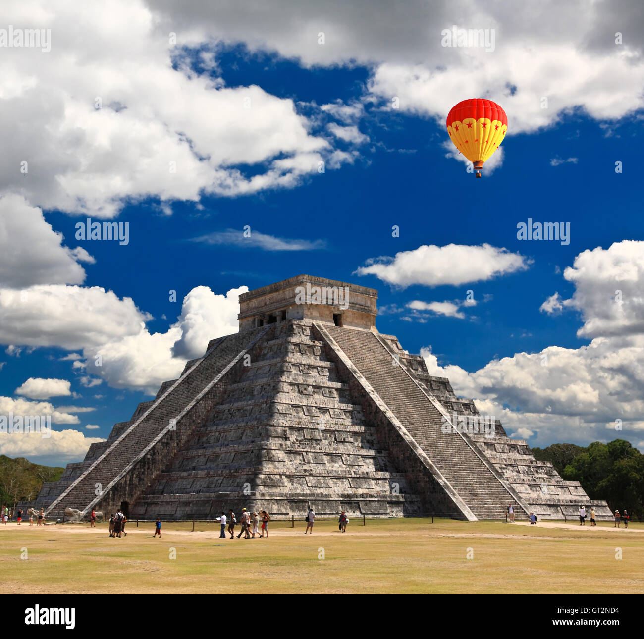 The temples of chichen itza temple in Mexico Stock Photohttps://www.alamy.com/image-license-details/?v=1https://www.alamy.com/stock-photo-the-temples-of-chichen-itza-temple-in-mexico-118074688.html
RFGT2ND4–The temples of chichen itza temple in Mexico
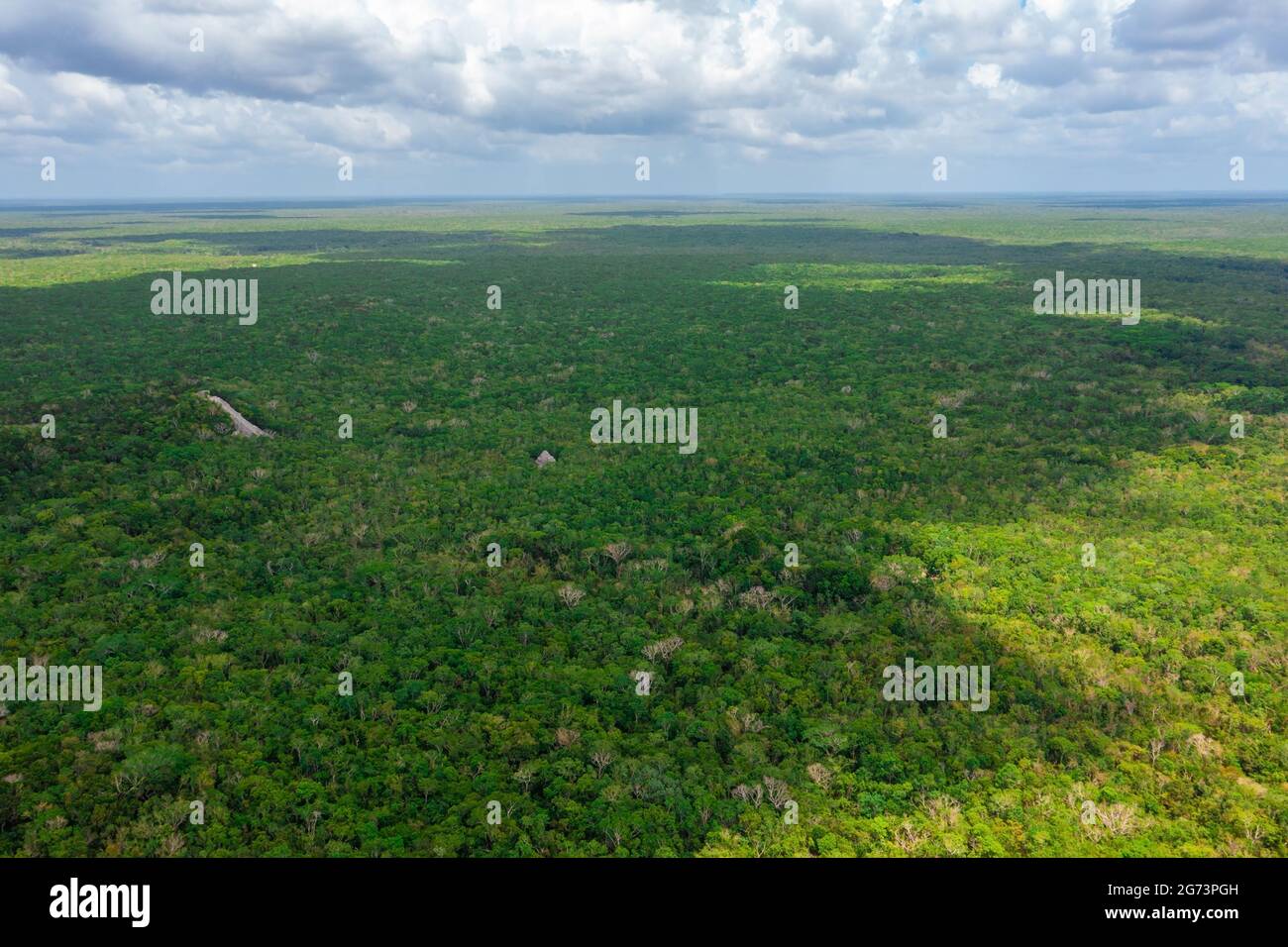 Aerial view of the Maya pyramid lost in the middle of a jungle. Stock Photohttps://www.alamy.com/image-license-details/?v=1https://www.alamy.com/aerial-view-of-the-maya-pyramid-lost-in-the-middle-of-a-jungle-image434645361.html
RF2G73PGH–Aerial view of the Maya pyramid lost in the middle of a jungle.
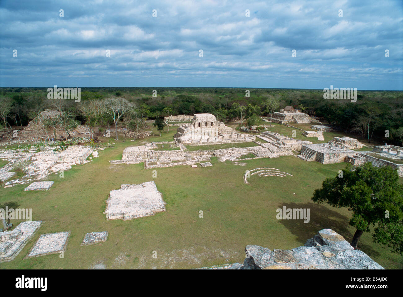 Mayapan, former Mayan capital after fall of Chichen Itza, Yucatan, Mexico, North America Stock Photohttps://www.alamy.com/image-license-details/?v=1https://www.alamy.com/stock-photo-mayapan-former-mayan-capital-after-fall-of-chichen-itza-yucatan-mexico-20517652.html
RMB5AJD8–Mayapan, former Mayan capital after fall of Chichen Itza, Yucatan, Mexico, North America
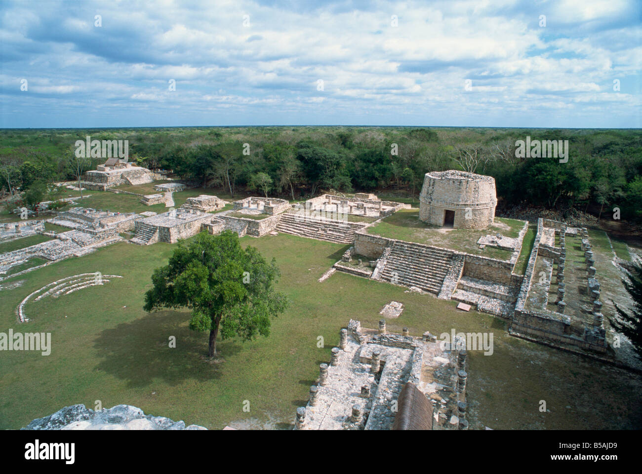 Mayapan former Mayan capital after fall of Chichen Itza Yucatan Mexico North America Stock Photohttps://www.alamy.com/image-license-details/?v=1https://www.alamy.com/stock-photo-mayapan-former-mayan-capital-after-fall-of-chichen-itza-yucatan-mexico-20517653.html
RMB5AJD9–Mayapan former Mayan capital after fall of Chichen Itza Yucatan Mexico North America
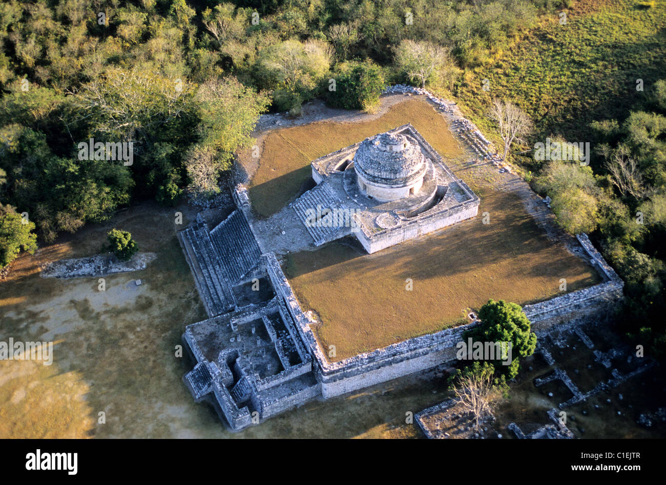 Mexico, Yucatan State, Mayan site of Chichen Itza, the caracol or observatory (aerial view) Stock Photohttps://www.alamy.com/image-license-details/?v=1https://www.alamy.com/stock-photo-mexico-yucatan-state-mayan-site-of-chichen-itza-the-caracol-or-observatory-35357527.html
RMC1EJTR–Mexico, Yucatan State, Mayan site of Chichen Itza, the caracol or observatory (aerial view)
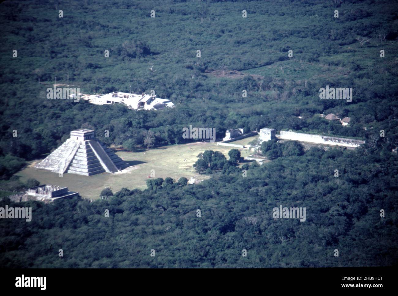 Chichen Itza Mexico. 12/27/1985. Aerial image of Chichen Itza ruins Stock Photohttps://www.alamy.com/image-license-details/?v=1https://www.alamy.com/chichen-itza-mexico-12271985-aerial-image-of-chichen-itza-ruins-image454442040.html
RM2HB9HCT–Chichen Itza Mexico. 12/27/1985. Aerial image of Chichen Itza ruins
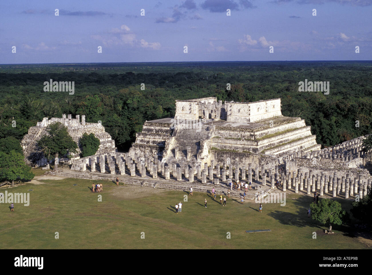 Mexico, Yucatan. Temple of Columns; Chichen Itza ruins, Maya Civilization, 7th-13th Century. Stock Photohttps://www.alamy.com/image-license-details/?v=1https://www.alamy.com/mexico-yucatan-temple-of-columns-chichen-itza-ruins-maya-civilization-image3858074.html
RMA7EP9B–Mexico, Yucatan. Temple of Columns; Chichen Itza ruins, Maya Civilization, 7th-13th Century.
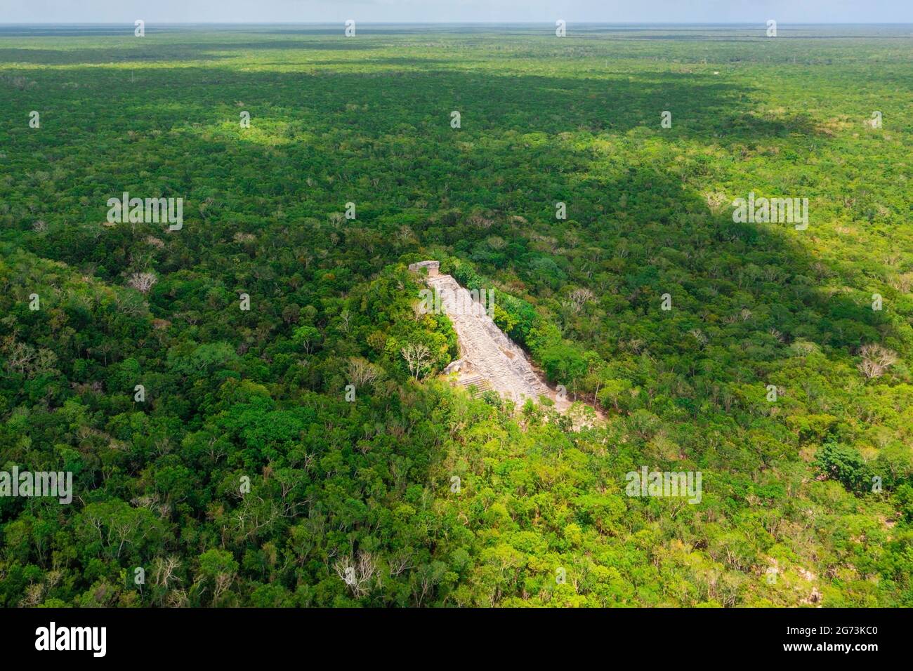 Aerial view of the Maya pyramid lost in the middle of a jungle. Stock Photohttps://www.alamy.com/image-license-details/?v=1https://www.alamy.com/aerial-view-of-the-maya-pyramid-lost-in-the-middle-of-a-jungle-image434642880.html
RF2G73KC0–Aerial view of the Maya pyramid lost in the middle of a jungle.
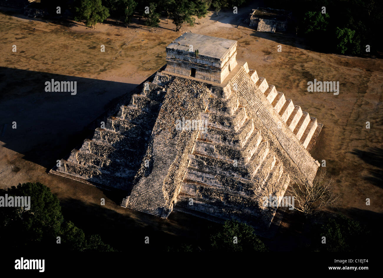 Mexico, Yucatan State, Mayan site of Chichen Itza, the castle or pyramid of Kukulcan (aerial view) Stock Photohttps://www.alamy.com/image-license-details/?v=1https://www.alamy.com/stock-photo-mexico-yucatan-state-mayan-site-of-chichen-itza-the-castle-or-pyramid-35357508.html
RMC1EJT4–Mexico, Yucatan State, Mayan site of Chichen Itza, the castle or pyramid of Kukulcan (aerial view)
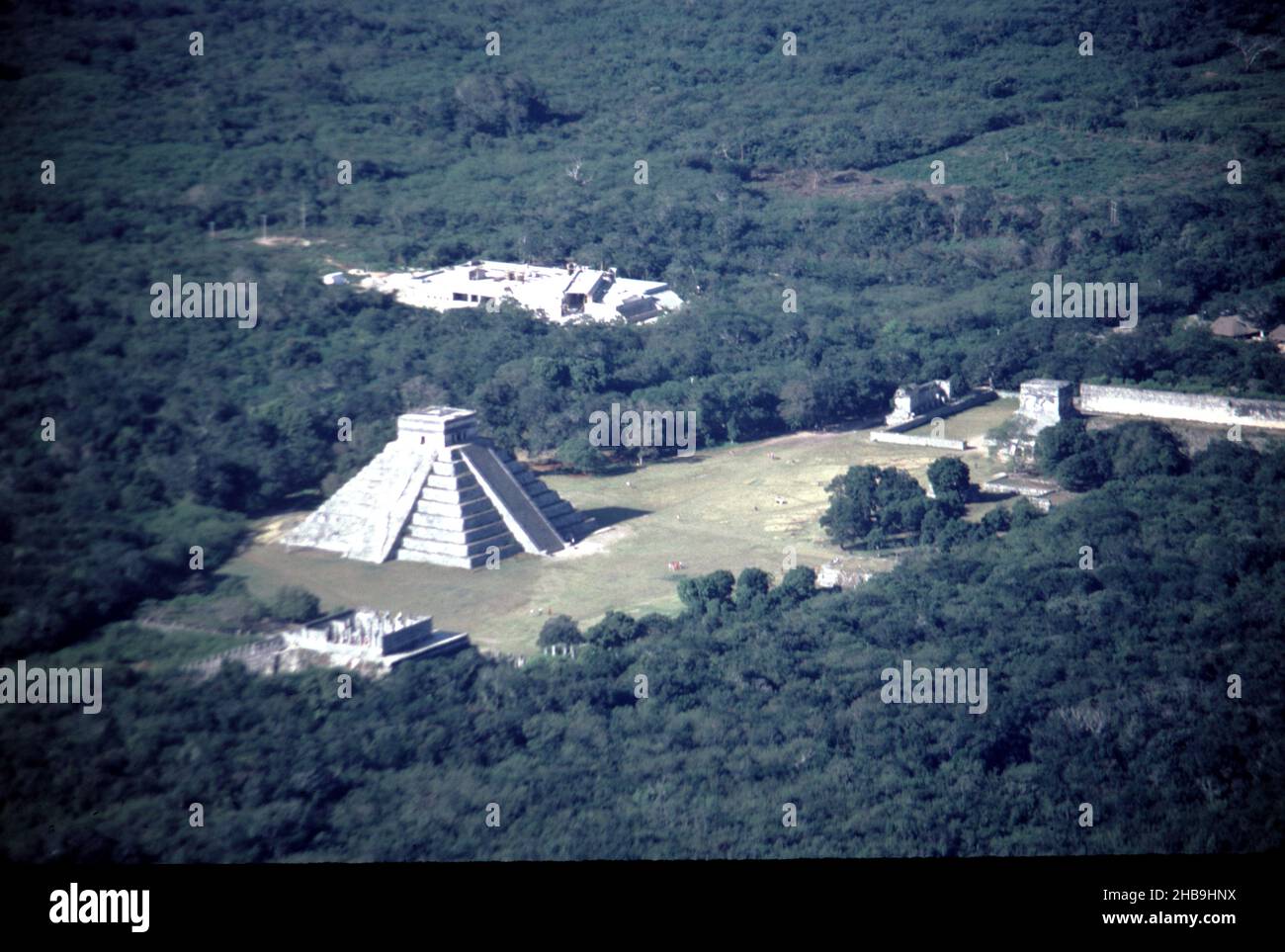 Chichen Itza Mexico. 12/27/1985. Aerial image of Chichen Itza ruins Stock Photohttps://www.alamy.com/image-license-details/?v=1https://www.alamy.com/chichen-itza-mexico-12271985-aerial-image-of-chichen-itza-ruins-image454442294.html
RM2HB9HNX–Chichen Itza Mexico. 12/27/1985. Aerial image of Chichen Itza ruins
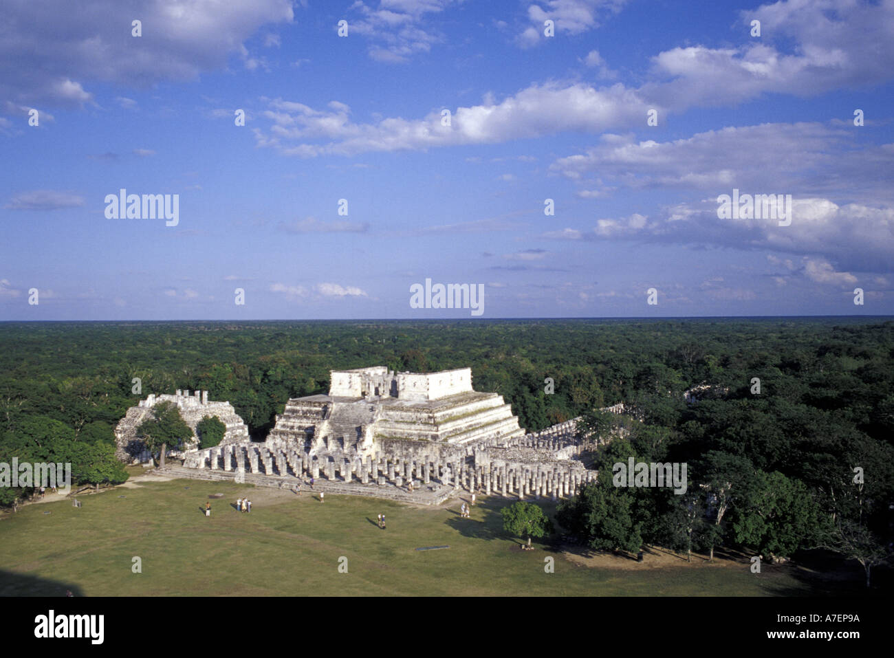 Mexico, Yucatan. Temple of Columns; Chichen Itza ruins, Maya Civilization, 7th-13th Century. Stock Photohttps://www.alamy.com/image-license-details/?v=1https://www.alamy.com/mexico-yucatan-temple-of-columns-chichen-itza-ruins-maya-civilization-image3858073.html
RMA7EP9A–Mexico, Yucatan. Temple of Columns; Chichen Itza ruins, Maya Civilization, 7th-13th Century.
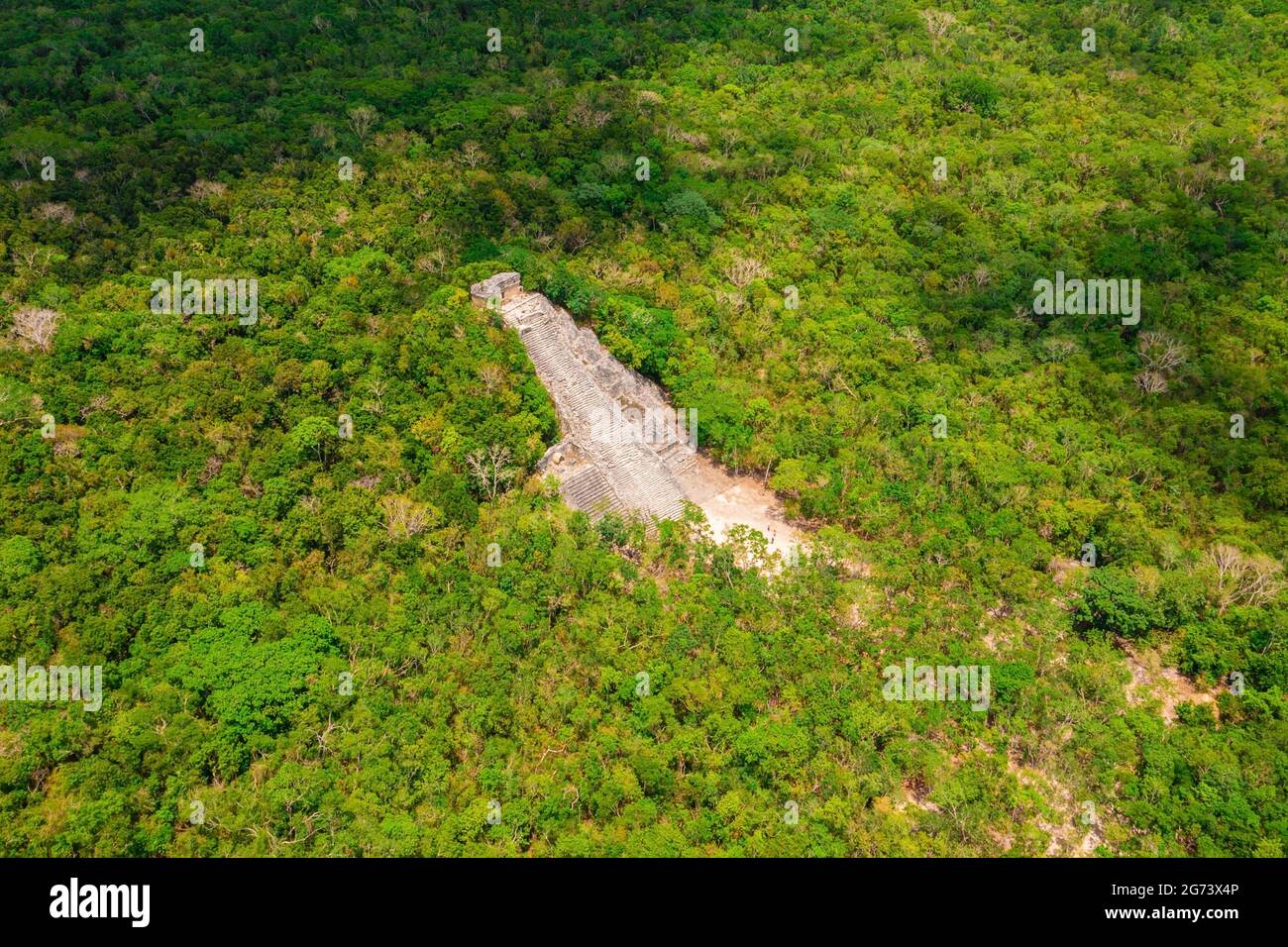 Aerial view of the Maya pyramid lost in the middle of a jungle. Stock Photohttps://www.alamy.com/image-license-details/?v=1https://www.alamy.com/aerial-view-of-the-maya-pyramid-lost-in-the-middle-of-a-jungle-image434648166.html
RF2G73X4P–Aerial view of the Maya pyramid lost in the middle of a jungle.
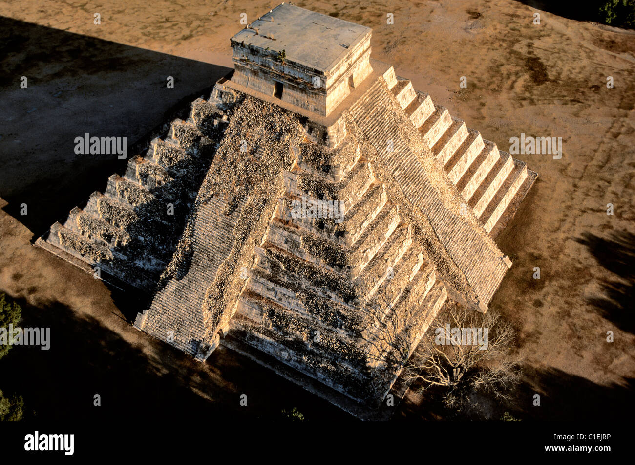 Mexico Yucatan State archaeological site of Chichen Itza listed as World Heritage by UNESCO castle or pyramid of Kukulcan Stock Photohttps://www.alamy.com/image-license-details/?v=1https://www.alamy.com/stock-photo-mexico-yucatan-state-archaeological-site-of-chichen-itza-listed-as-35357498.html
RMC1EJRP–Mexico Yucatan State archaeological site of Chichen Itza listed as World Heritage by UNESCO castle or pyramid of Kukulcan
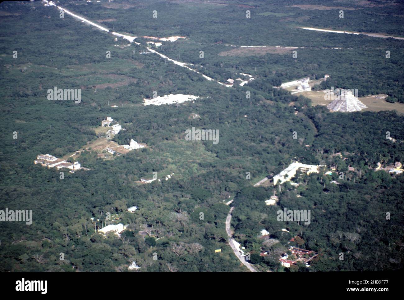 Chichen Itza Mexico. 12/27/1985. Aerial image of Chichen Itza ruins Stock Photohttps://www.alamy.com/image-license-details/?v=1https://www.alamy.com/chichen-itza-mexico-12271985-aerial-image-of-chichen-itza-ruins-image454440315.html
RM2HB9F77–Chichen Itza Mexico. 12/27/1985. Aerial image of Chichen Itza ruins
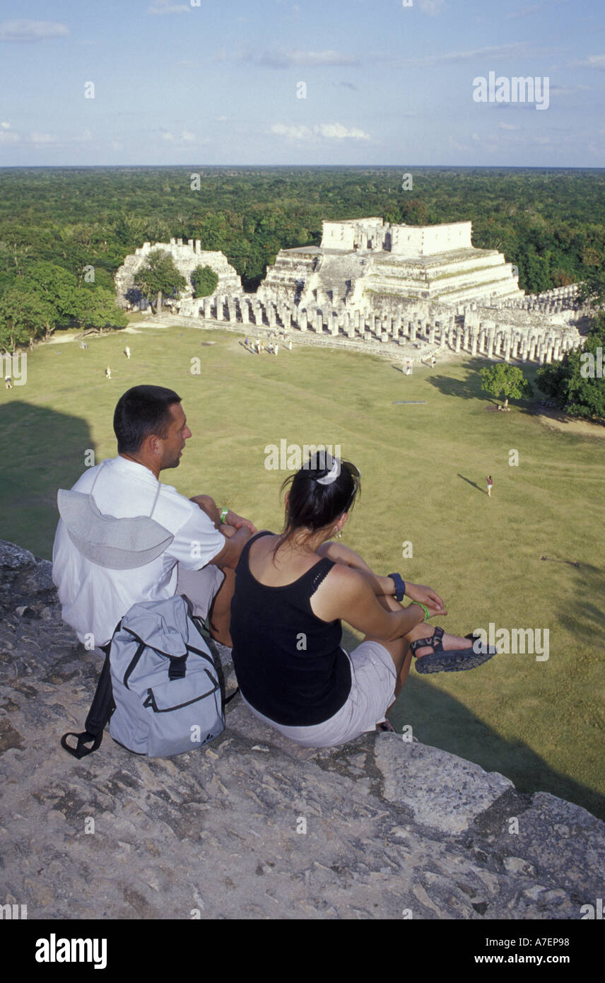 Mexico, Yucatan. Temple of Columns; Chichen Itza ruins, Maya Civilization, 7th-13th C. Stock Photohttps://www.alamy.com/image-license-details/?v=1https://www.alamy.com/mexico-yucatan-temple-of-columns-chichen-itza-ruins-maya-civilization-image3858071.html
RMA7EP98–Mexico, Yucatan. Temple of Columns; Chichen Itza ruins, Maya Civilization, 7th-13th C.
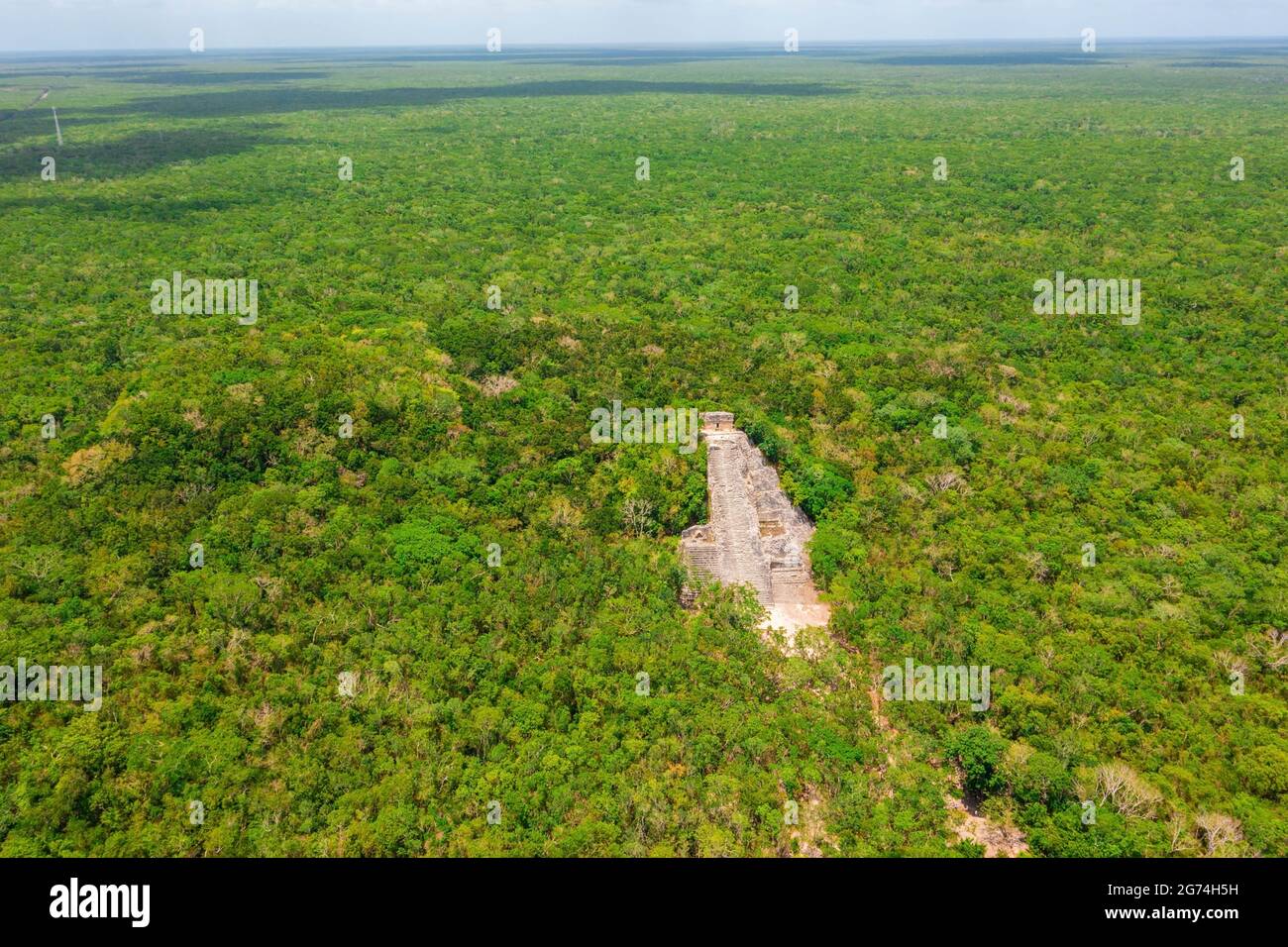 Aerial view of the Maya pyramid lost in the middle of a jungle. Stock Photohttps://www.alamy.com/image-license-details/?v=1https://www.alamy.com/aerial-view-of-the-maya-pyramid-lost-in-the-middle-of-a-jungle-image434663085.html
RF2G74H5H–Aerial view of the Maya pyramid lost in the middle of a jungle.
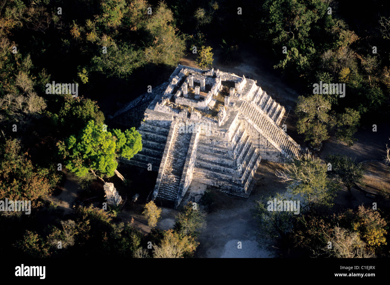 Mexico Yucatan State archaeological site of Chichen Itza listed as World Heritage by UNESCO Ossuary or Grave of the High Priest Stock Photohttps://www.alamy.com/image-license-details/?v=1https://www.alamy.com/stock-photo-mexico-yucatan-state-archaeological-site-of-chichen-itza-listed-as-35357502.html
RMC1EJRX–Mexico Yucatan State archaeological site of Chichen Itza listed as World Heritage by UNESCO Ossuary or Grave of the High Priest
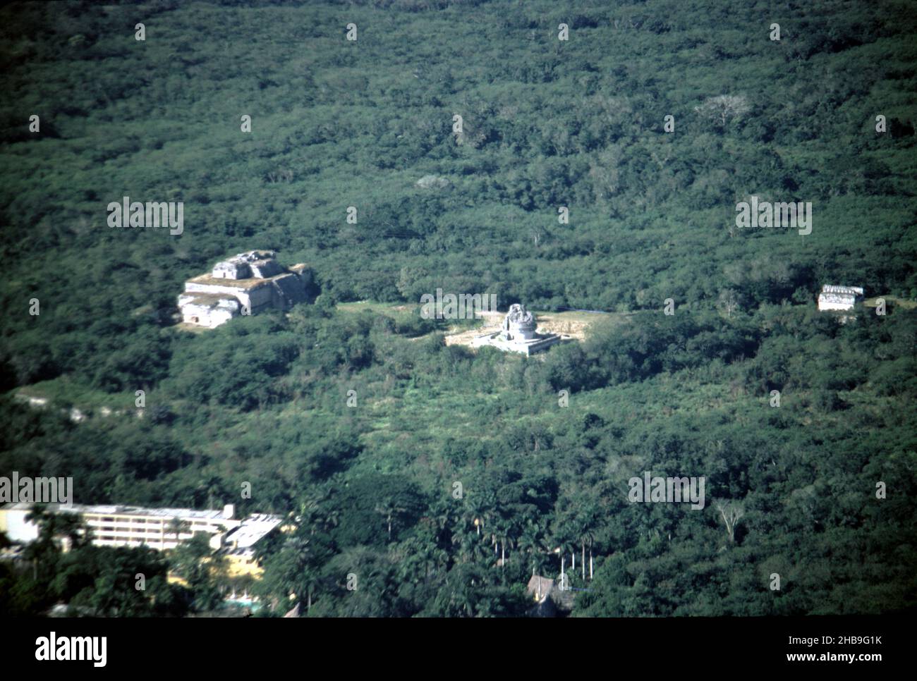 Chichen Itza Mexico. 12/27/1985. Aerial image of Chichen Itza ruins Stock Photohttps://www.alamy.com/image-license-details/?v=1https://www.alamy.com/chichen-itza-mexico-12271985-aerial-image-of-chichen-itza-ruins-image454440943.html
RM2HB9G1K–Chichen Itza Mexico. 12/27/1985. Aerial image of Chichen Itza ruins
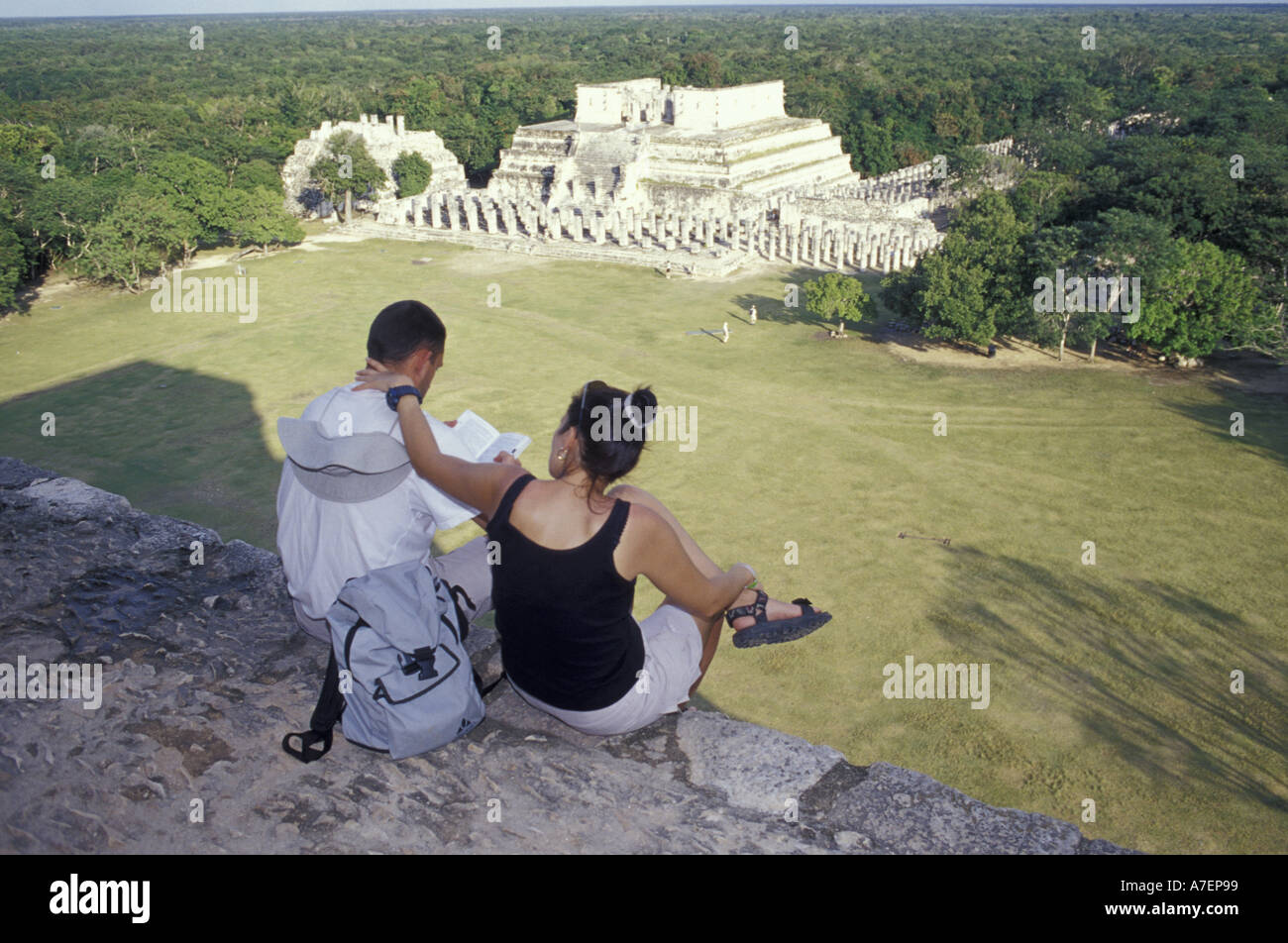 Mexico, Yucatan. Temple of Columns; Chichen Itza ruins, Maya Civilization, 7th-13th C. Stock Photohttps://www.alamy.com/image-license-details/?v=1https://www.alamy.com/mexico-yucatan-temple-of-columns-chichen-itza-ruins-maya-civilization-image3858072.html
RMA7EP99–Mexico, Yucatan. Temple of Columns; Chichen Itza ruins, Maya Civilization, 7th-13th C.
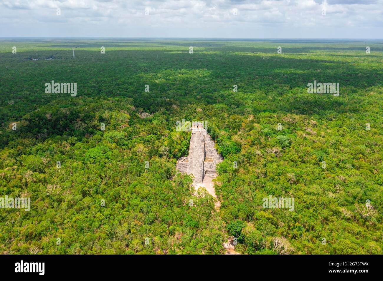 Aerial view of the Maya pyramid lost in the middle of a jungle. Stock Photohttps://www.alamy.com/image-license-details/?v=1https://www.alamy.com/aerial-view-of-the-maya-pyramid-lost-in-the-middle-of-a-jungle-image434647190.html
RF2G73TWX–Aerial view of the Maya pyramid lost in the middle of a jungle.
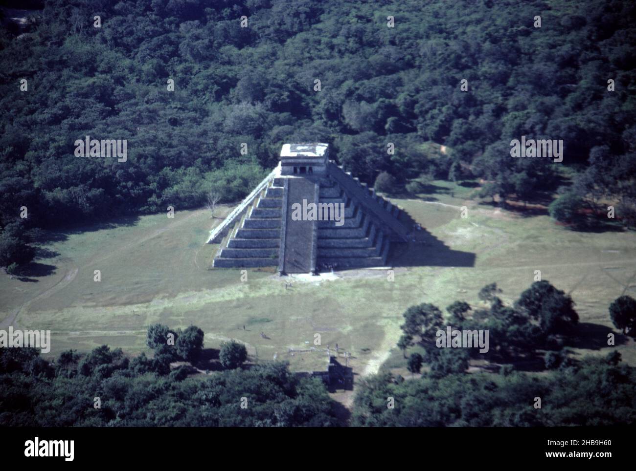 Chichen Itza Mexico. 12/27/1985. Aerial image of Chichen Itza ruins Stock Photohttps://www.alamy.com/image-license-details/?v=1https://www.alamy.com/chichen-itza-mexico-12271985-aerial-image-of-chichen-itza-ruins-image454441848.html
RM2HB9H60–Chichen Itza Mexico. 12/27/1985. Aerial image of Chichen Itza ruins
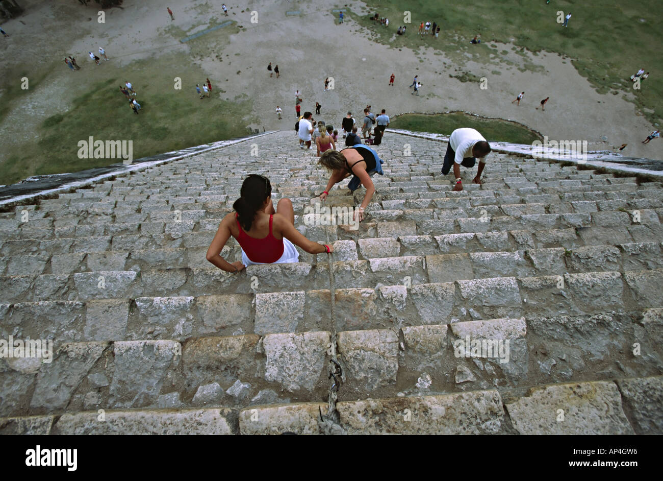 Mexico, Steps of The Castle at Chichen Itza, also called El Castillo or the Kukulcan Pyramid Stock Photohttps://www.alamy.com/image-license-details/?v=1https://www.alamy.com/mexico-steps-of-the-castle-at-chichen-itza-also-called-el-castillo-image8956053.html
RFAP4GW6–Mexico, Steps of The Castle at Chichen Itza, also called El Castillo or the Kukulcan Pyramid
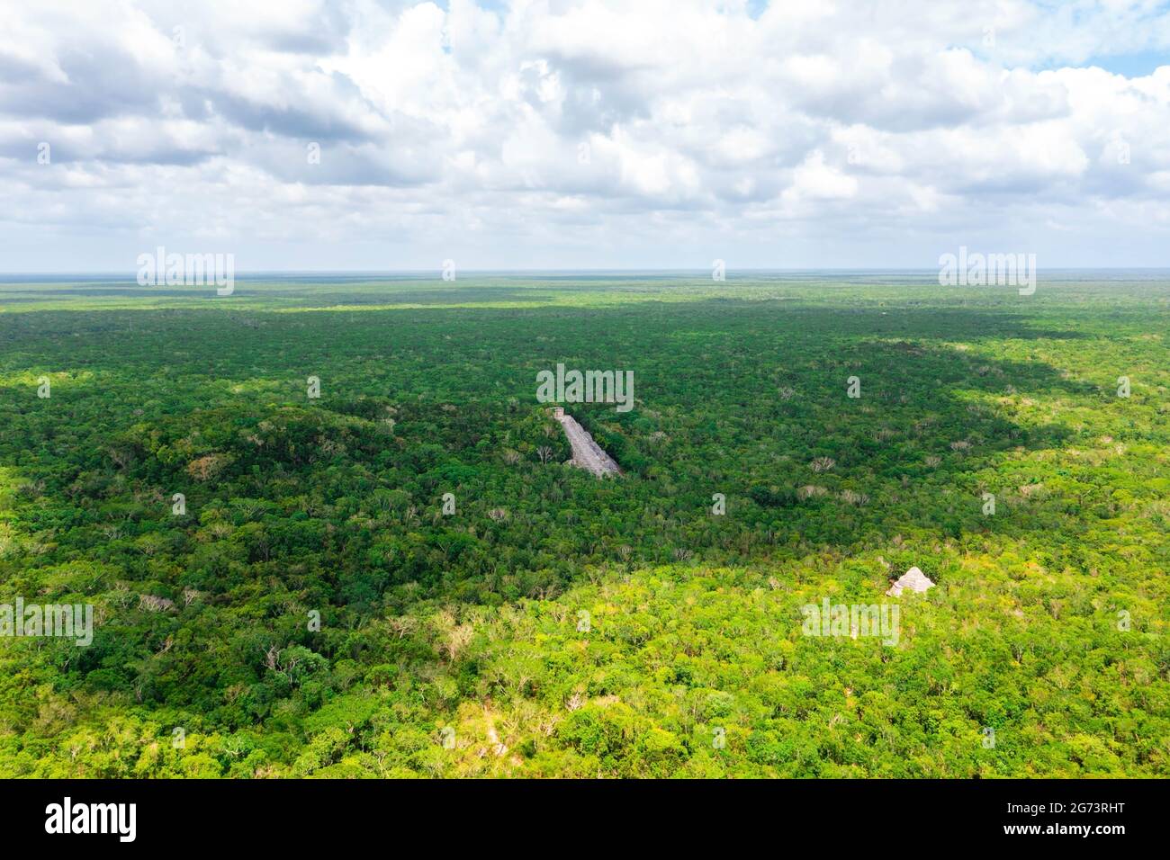 Aerial view of the Maya pyramid lost in the middle of a jungle. Stock Photohttps://www.alamy.com/image-license-details/?v=1https://www.alamy.com/aerial-view-of-the-maya-pyramid-lost-in-the-middle-of-a-jungle-image434646180.html
RF2G73RHT–Aerial view of the Maya pyramid lost in the middle of a jungle.
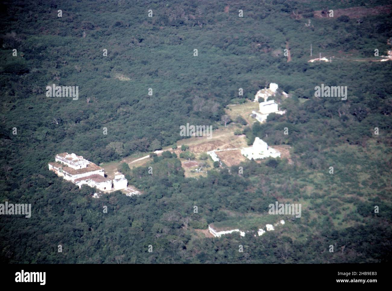 Chichen Itza Mexico. 12/27/1985. Aerial image of Chichen Itza ruins Stock Photohttps://www.alamy.com/image-license-details/?v=1https://www.alamy.com/chichen-itza-mexico-12271985-aerial-image-of-chichen-itza-ruins-image454439639.html
RM2HB9EB3–Chichen Itza Mexico. 12/27/1985. Aerial image of Chichen Itza ruins
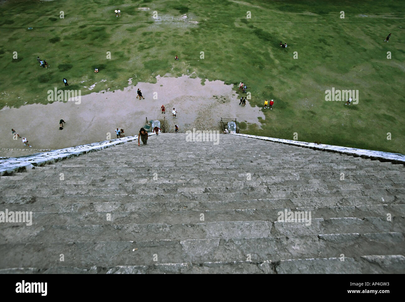 Mexico, Steps of The Castle at Chichen Itza, also called El Castillo or the Kukulcan Pyramid Stock Photohttps://www.alamy.com/image-license-details/?v=1https://www.alamy.com/mexico-steps-of-the-castle-at-chichen-itza-also-called-el-castillo-image8956050.html
RFAP4GW3–Mexico, Steps of The Castle at Chichen Itza, also called El Castillo or the Kukulcan Pyramid
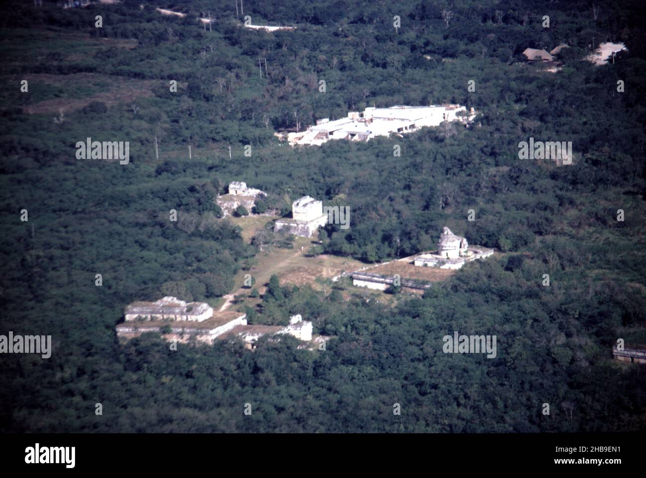 Chichen Itza Mexico. 12/27/1985. Aerial image of Chichen Itza ruins Stock Photohttps://www.alamy.com/image-license-details/?v=1https://www.alamy.com/chichen-itza-mexico-12271985-aerial-image-of-chichen-itza-ruins-image454439917.html
RM2HB9EN1–Chichen Itza Mexico. 12/27/1985. Aerial image of Chichen Itza ruins
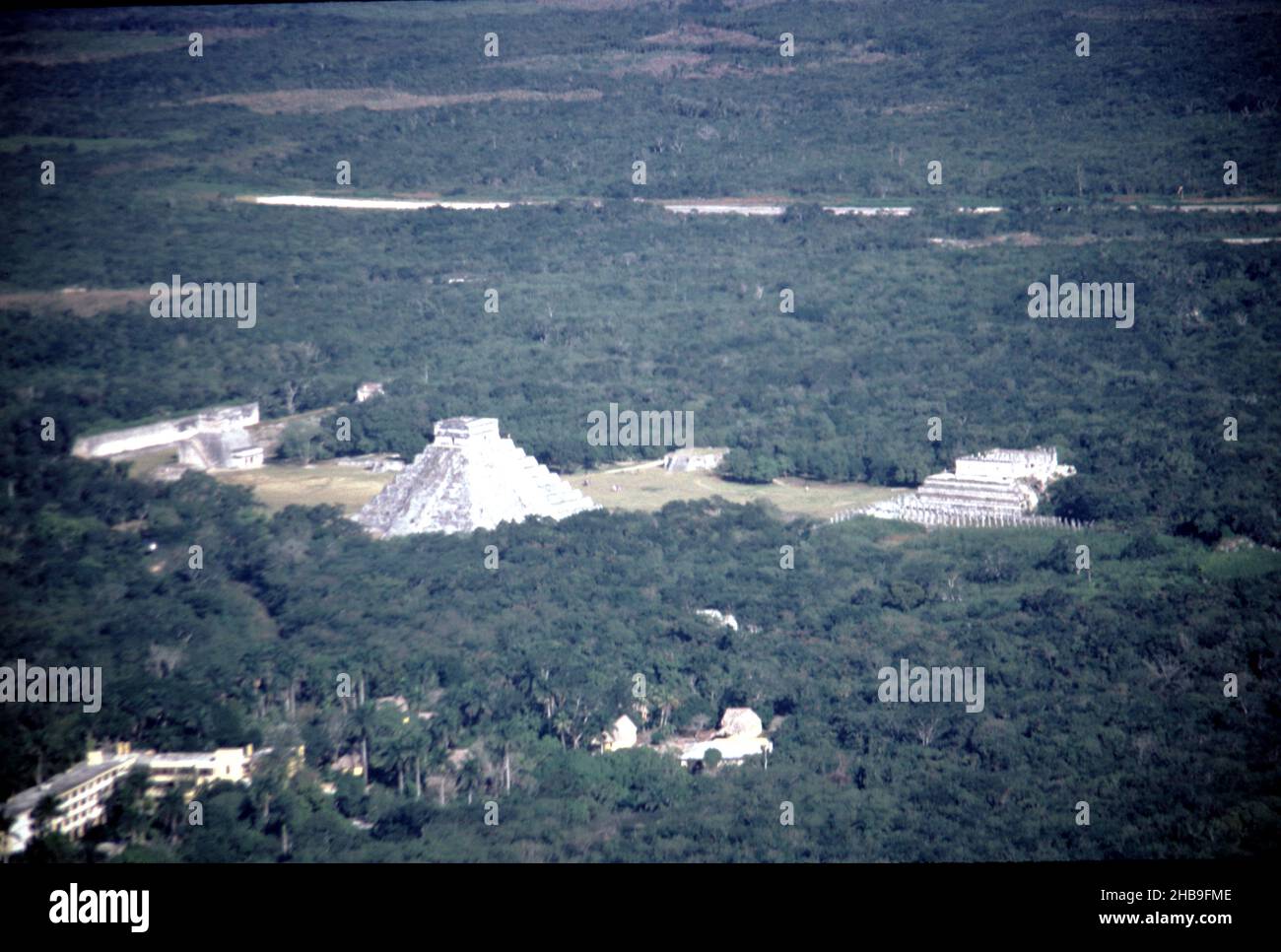 Chichen Itza Mexico. 12/27/1985. Aerial image of Chichen Itza ruins Stock Photohttps://www.alamy.com/image-license-details/?v=1https://www.alamy.com/chichen-itza-mexico-12271985-aerial-image-of-chichen-itza-ruins-image454440686.html
RM2HB9FME–Chichen Itza Mexico. 12/27/1985. Aerial image of Chichen Itza ruins
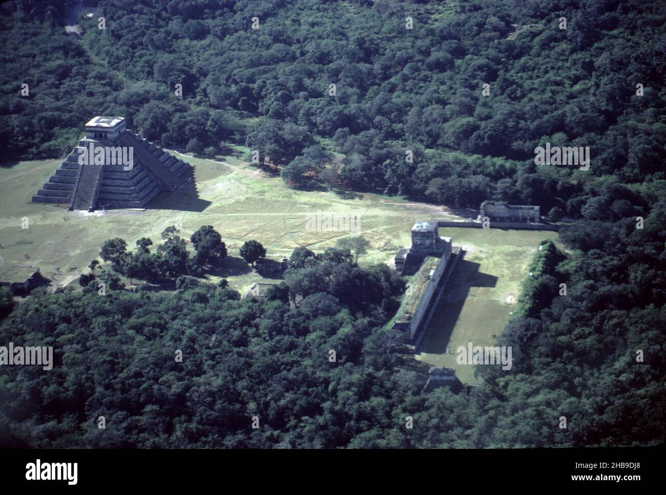 Chichen Itza Mexico. 12/27/1985. Aerial image of Chichen Itza ruins Stock Photohttps://www.alamy.com/image-license-details/?v=1https://www.alamy.com/chichen-itza-mexico-12271985-aerial-image-of-chichen-itza-ruins-image454439056.html
RM2HB9DJ8–Chichen Itza Mexico. 12/27/1985. Aerial image of Chichen Itza ruins
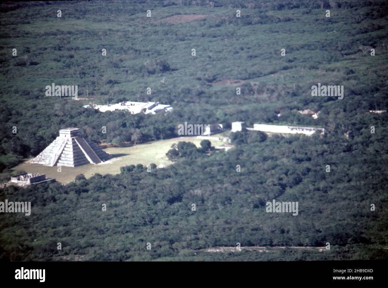 Chichen Itza Mexico. 12/27/1985. Aerial image of Chichen Itza ruins Stock Photohttps://www.alamy.com/image-license-details/?v=1https://www.alamy.com/chichen-itza-mexico-12271985-aerial-image-of-chichen-itza-ruins-image454439285.html
RM2HB9DXD–Chichen Itza Mexico. 12/27/1985. Aerial image of Chichen Itza ruins
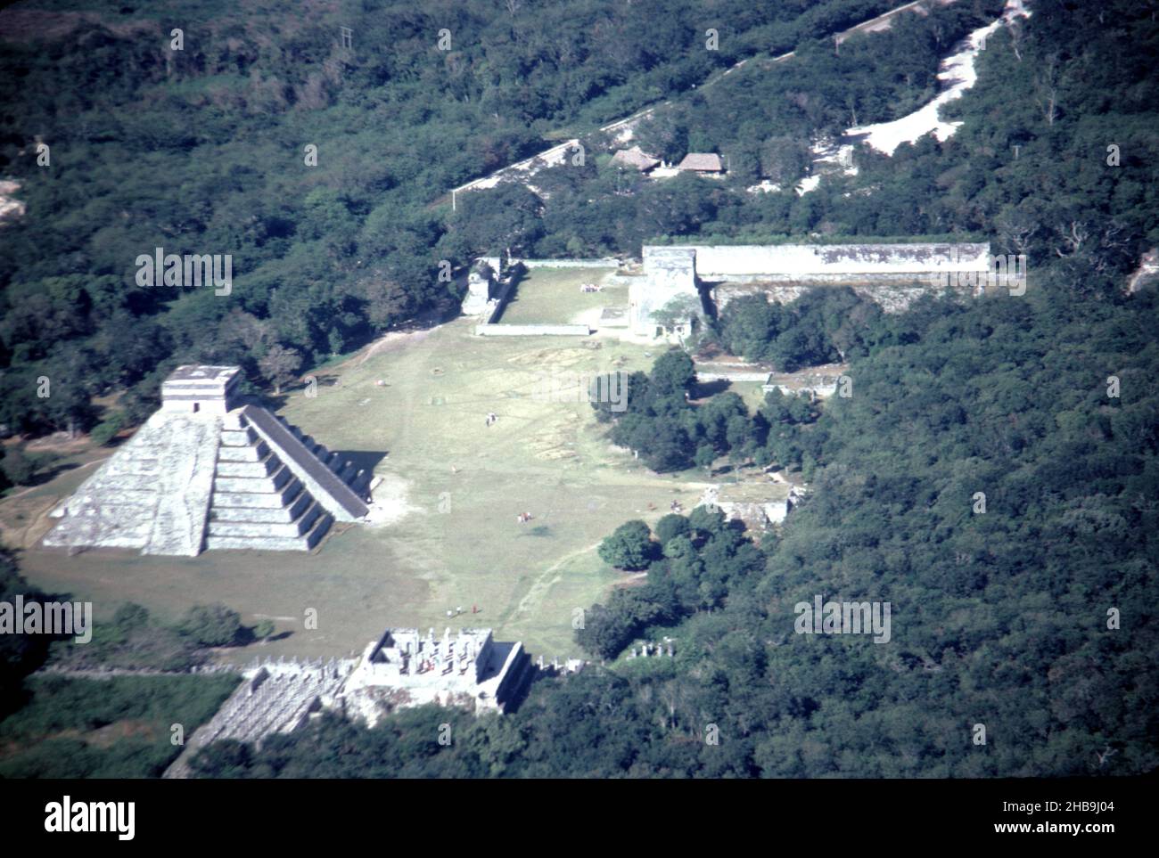 Chichen Itza Mexico. 12/27/1985. Aerial image of Chichen Itza ruins Stock Photohttps://www.alamy.com/image-license-details/?v=1https://www.alamy.com/chichen-itza-mexico-12271985-aerial-image-of-chichen-itza-ruins-image454442468.html
RM2HB9J04–Chichen Itza Mexico. 12/27/1985. Aerial image of Chichen Itza ruins
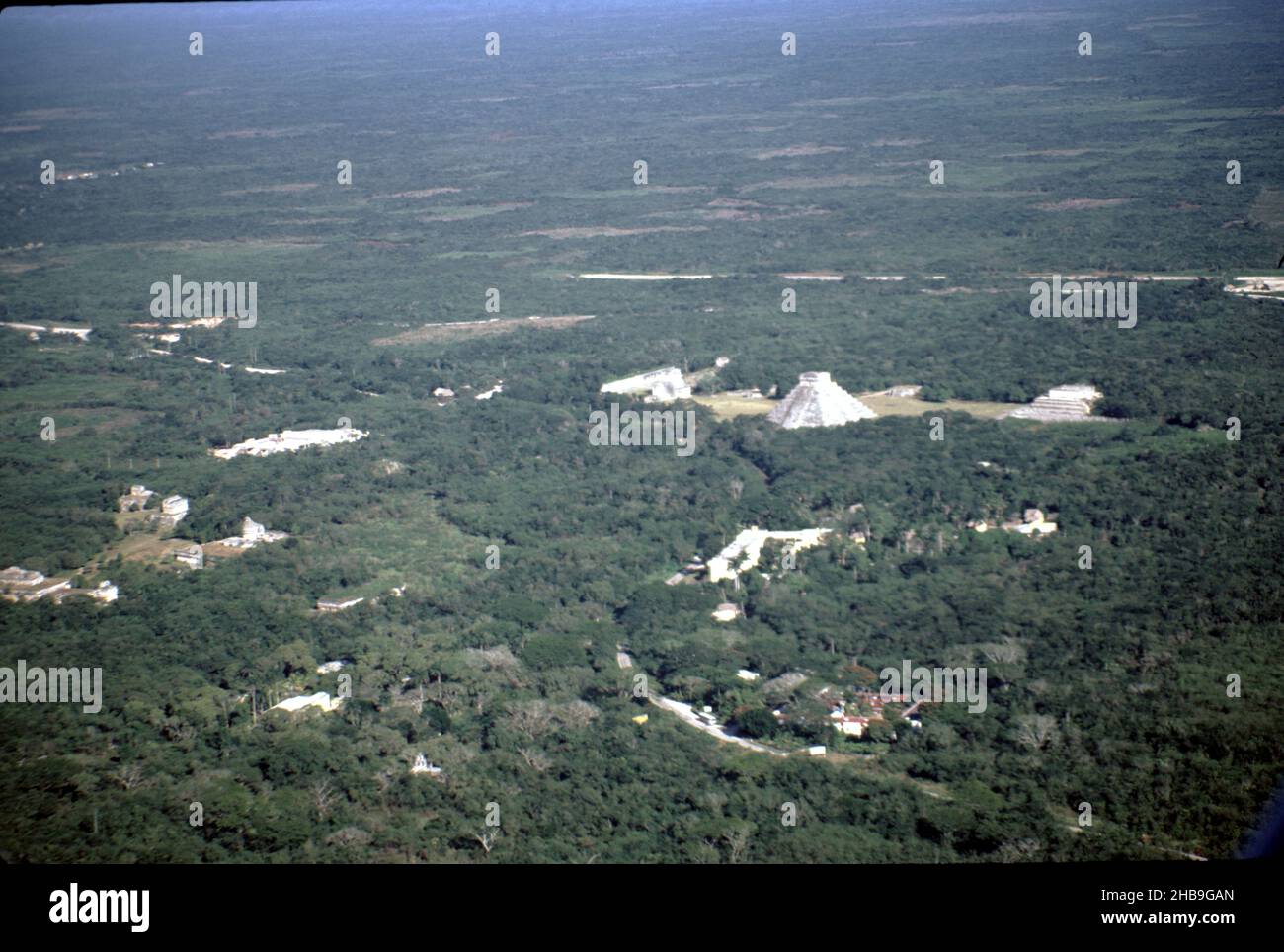 Chichen Itza Mexico. 12/27/1985. Aerial image of Chichen Itza ruins Stock Photohttps://www.alamy.com/image-license-details/?v=1https://www.alamy.com/chichen-itza-mexico-12271985-aerial-image-of-chichen-itza-ruins-image454441197.html
RM2HB9GAN–Chichen Itza Mexico. 12/27/1985. Aerial image of Chichen Itza ruins
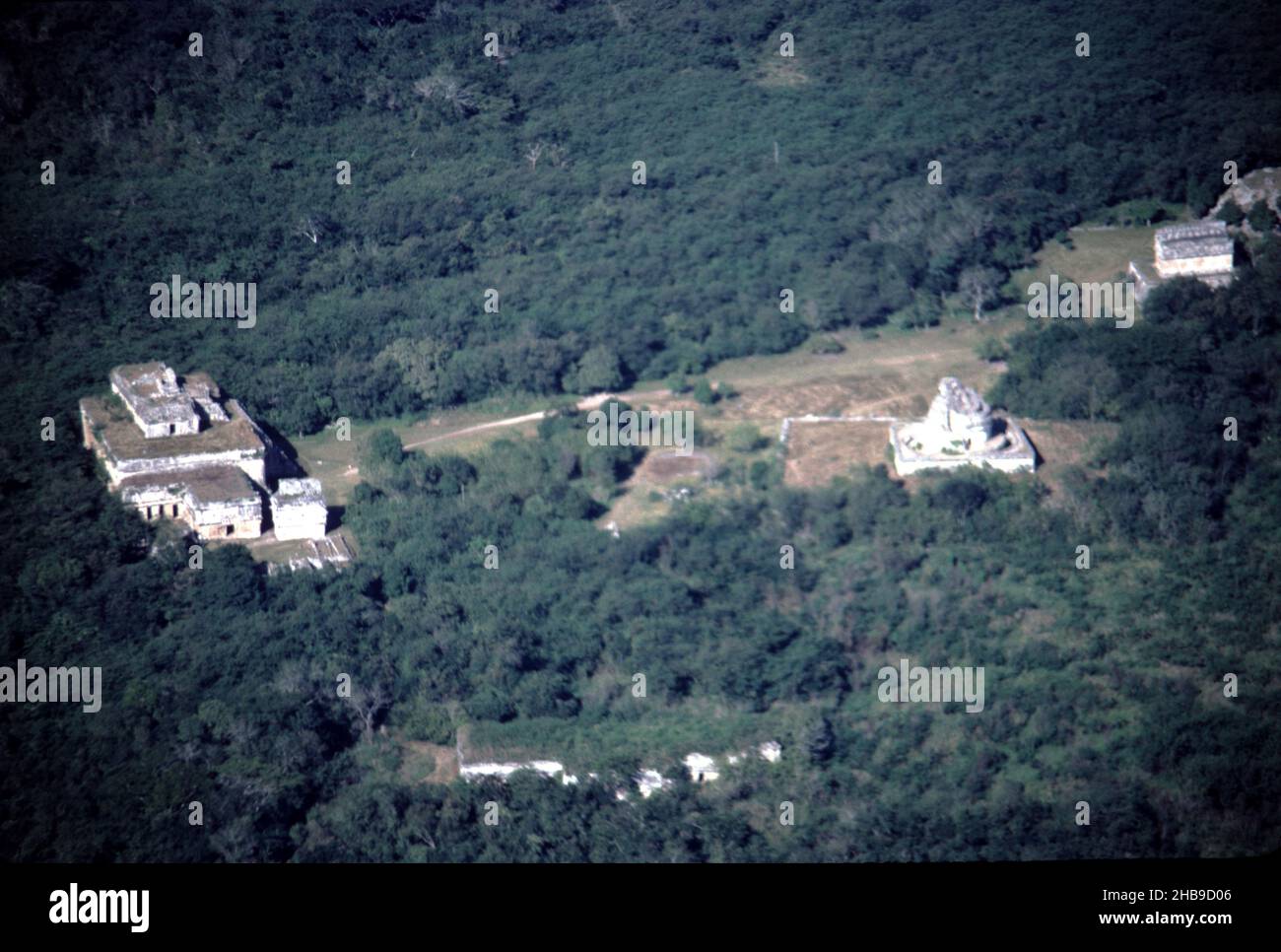 Chichen Itza Mexico. 12/27/1985. Aerial image of Chichen Itza ruins Stock Photohttps://www.alamy.com/image-license-details/?v=1https://www.alamy.com/chichen-itza-mexico-12271985-aerial-image-of-chichen-itza-ruins-image454438550.html
RM2HB9D06–Chichen Itza Mexico. 12/27/1985. Aerial image of Chichen Itza ruins
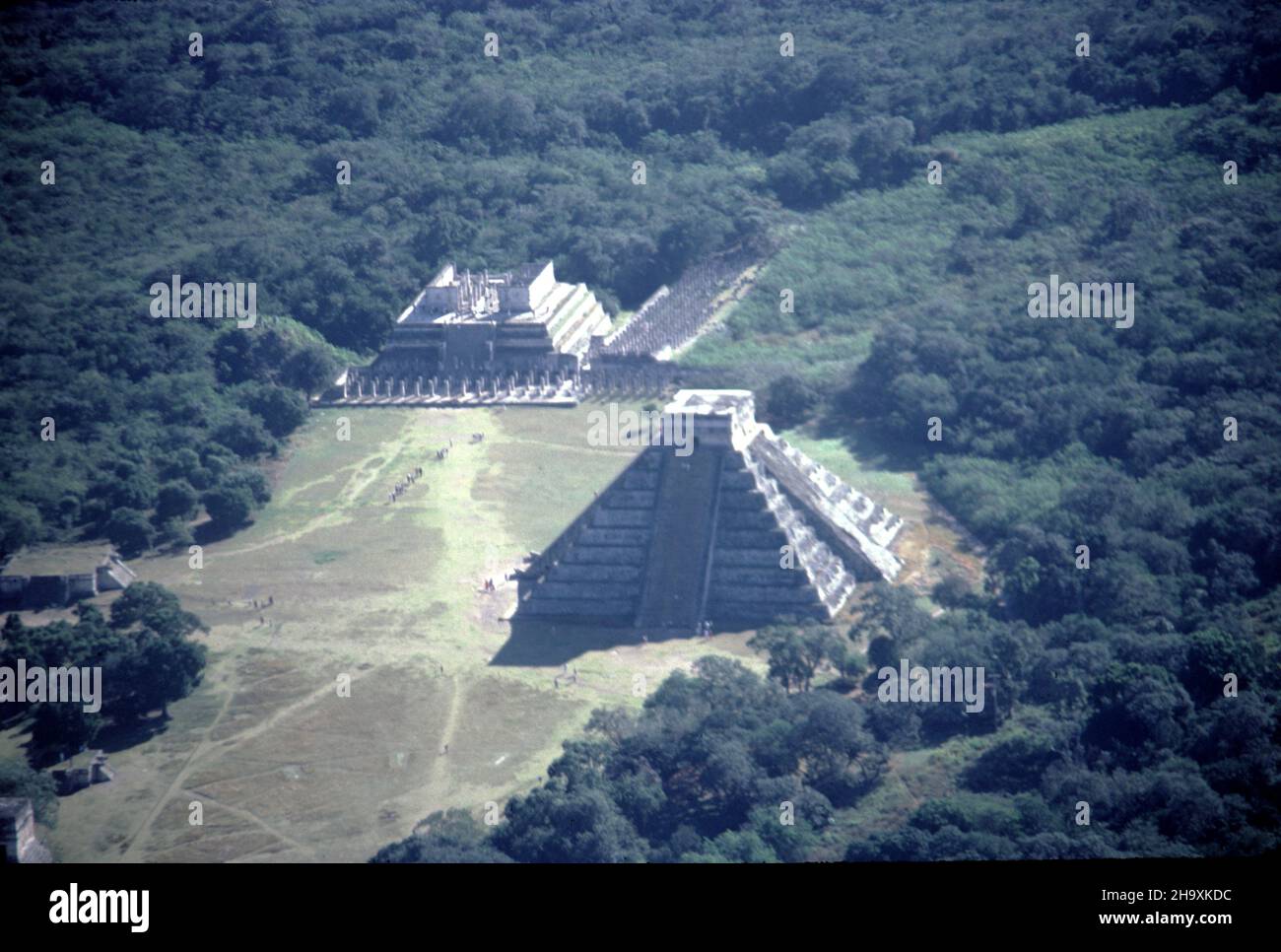 Chichen Itza Mexico. 12/27/1985. Aerial image of Chichen Itza ruins Stock Photohttps://www.alamy.com/image-license-details/?v=1https://www.alamy.com/chichen-itza-mexico-12271985-aerial-image-of-chichen-itza-ruins-image453587496.html
RM2H9XKDC–Chichen Itza Mexico. 12/27/1985. Aerial image of Chichen Itza ruins
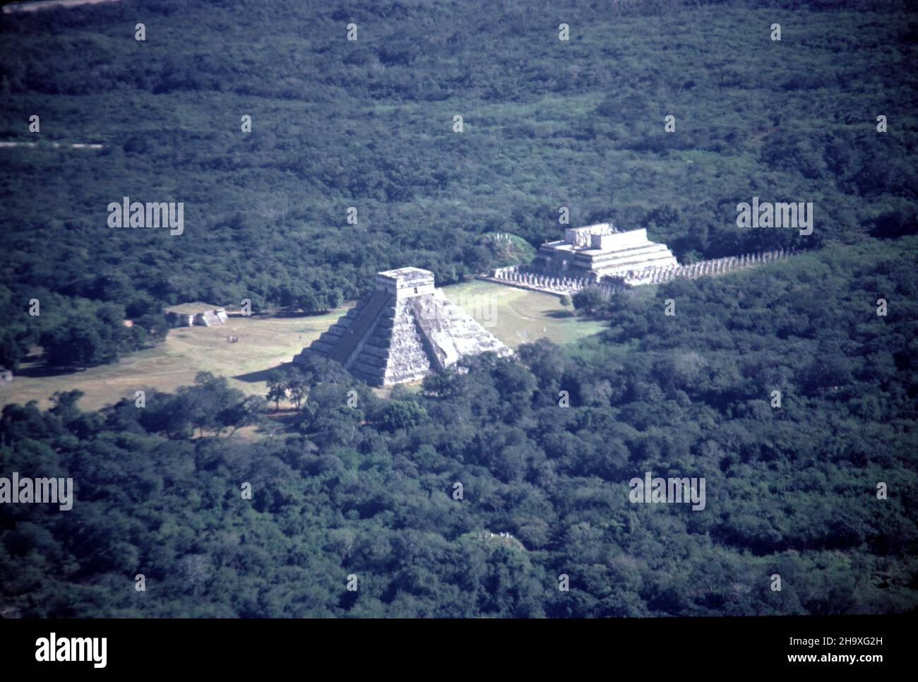 Chichen Itza Mexico. 12/27/1985. Aerial image of Chichen Itza ruins Stock Photohttps://www.alamy.com/image-license-details/?v=1https://www.alamy.com/chichen-itza-mexico-12271985-aerial-image-of-chichen-itza-ruins-image453584841.html
RM2H9XG2H–Chichen Itza Mexico. 12/27/1985. Aerial image of Chichen Itza ruins
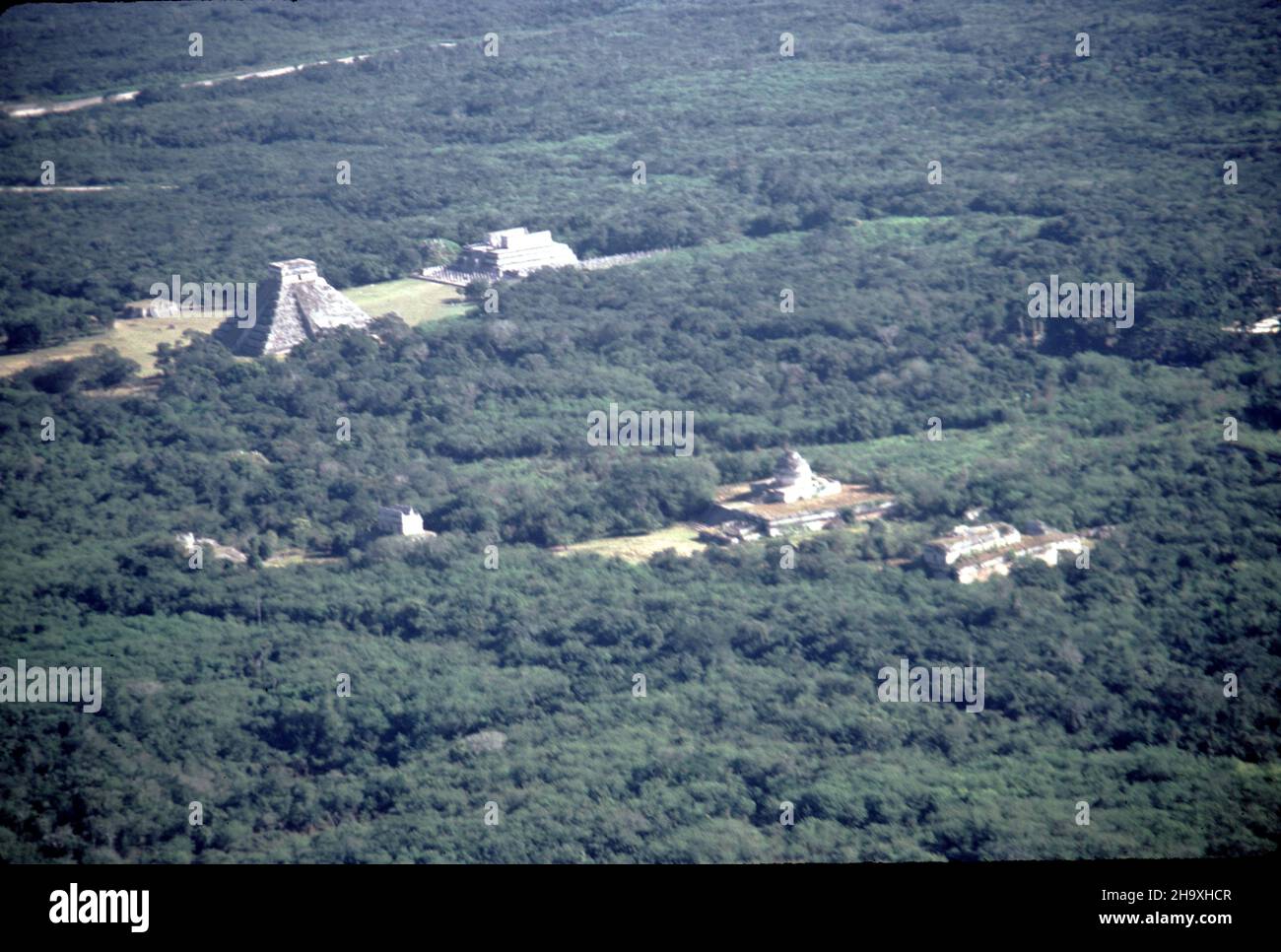 Chichen Itza Mexico. 12/27/1985. Aerial image of Chichen Itza ruins Stock Photohttps://www.alamy.com/image-license-details/?v=1https://www.alamy.com/chichen-itza-mexico-12271985-aerial-image-of-chichen-itza-ruins-image453585911.html
RM2H9XHCR–Chichen Itza Mexico. 12/27/1985. Aerial image of Chichen Itza ruins
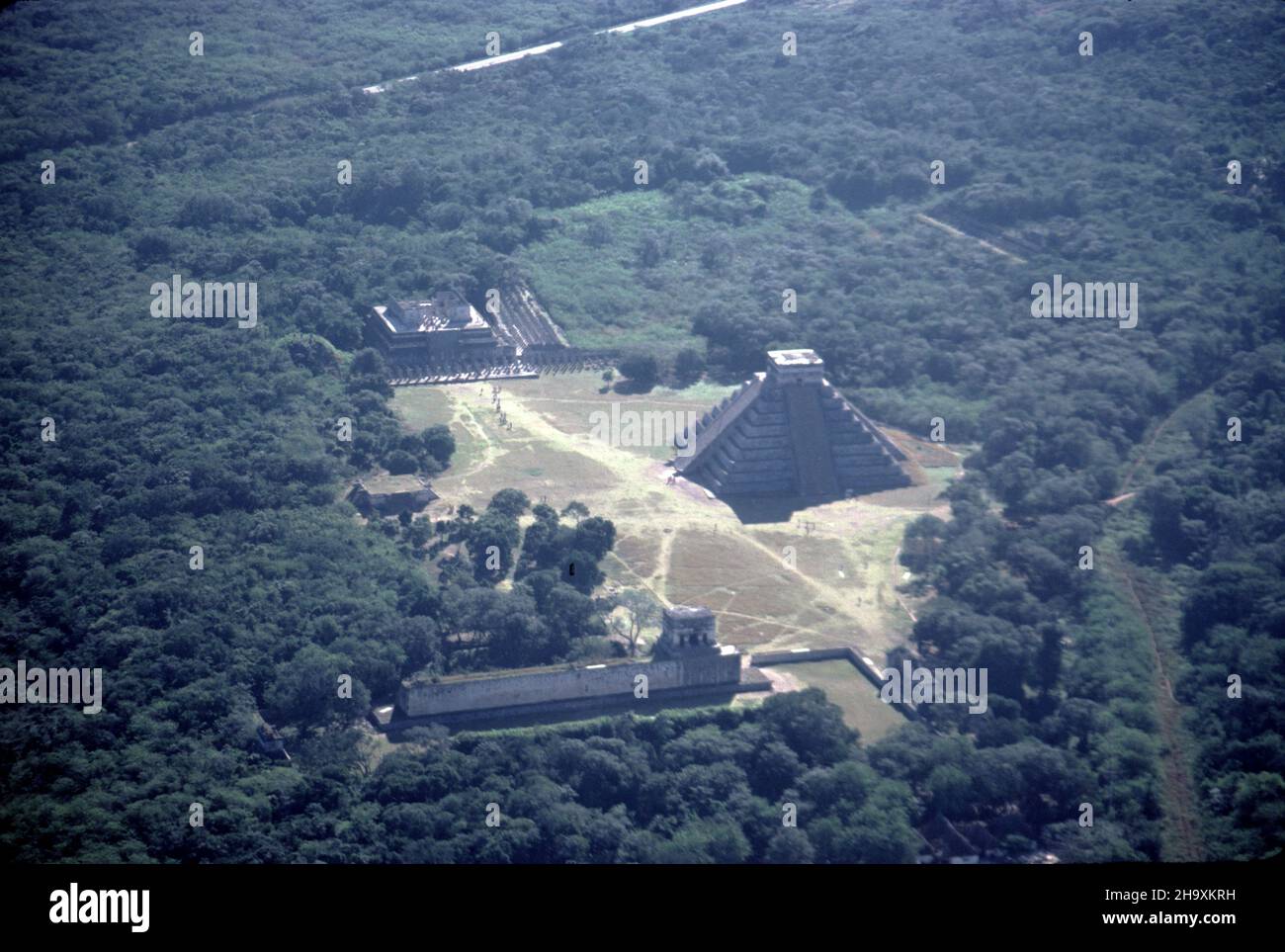 Chichen Itza Mexico. 12/27/1985. Aerial image of Chichen Itza ruins Stock Photohttps://www.alamy.com/image-license-details/?v=1https://www.alamy.com/chichen-itza-mexico-12271985-aerial-image-of-chichen-itza-ruins-image453587781.html
RM2H9XKRH–Chichen Itza Mexico. 12/27/1985. Aerial image of Chichen Itza ruins
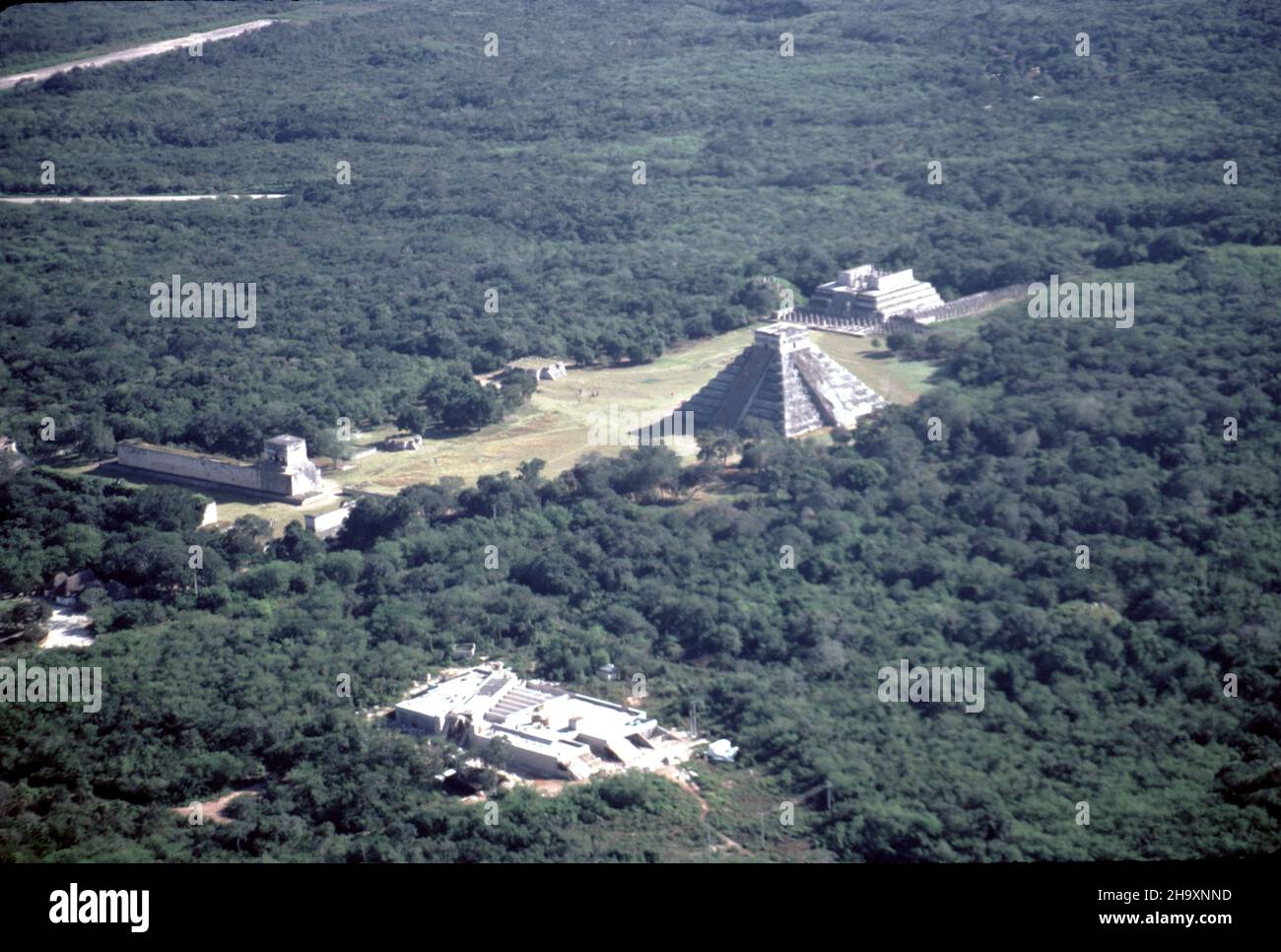 Chichen Itza Mexico. 12/27/1985. Aerial image of Chichen Itza ruins Stock Photohttps://www.alamy.com/image-license-details/?v=1https://www.alamy.com/chichen-itza-mexico-12271985-aerial-image-of-chichen-itza-ruins-image453589289.html
RM2H9XNND–Chichen Itza Mexico. 12/27/1985. Aerial image of Chichen Itza ruins
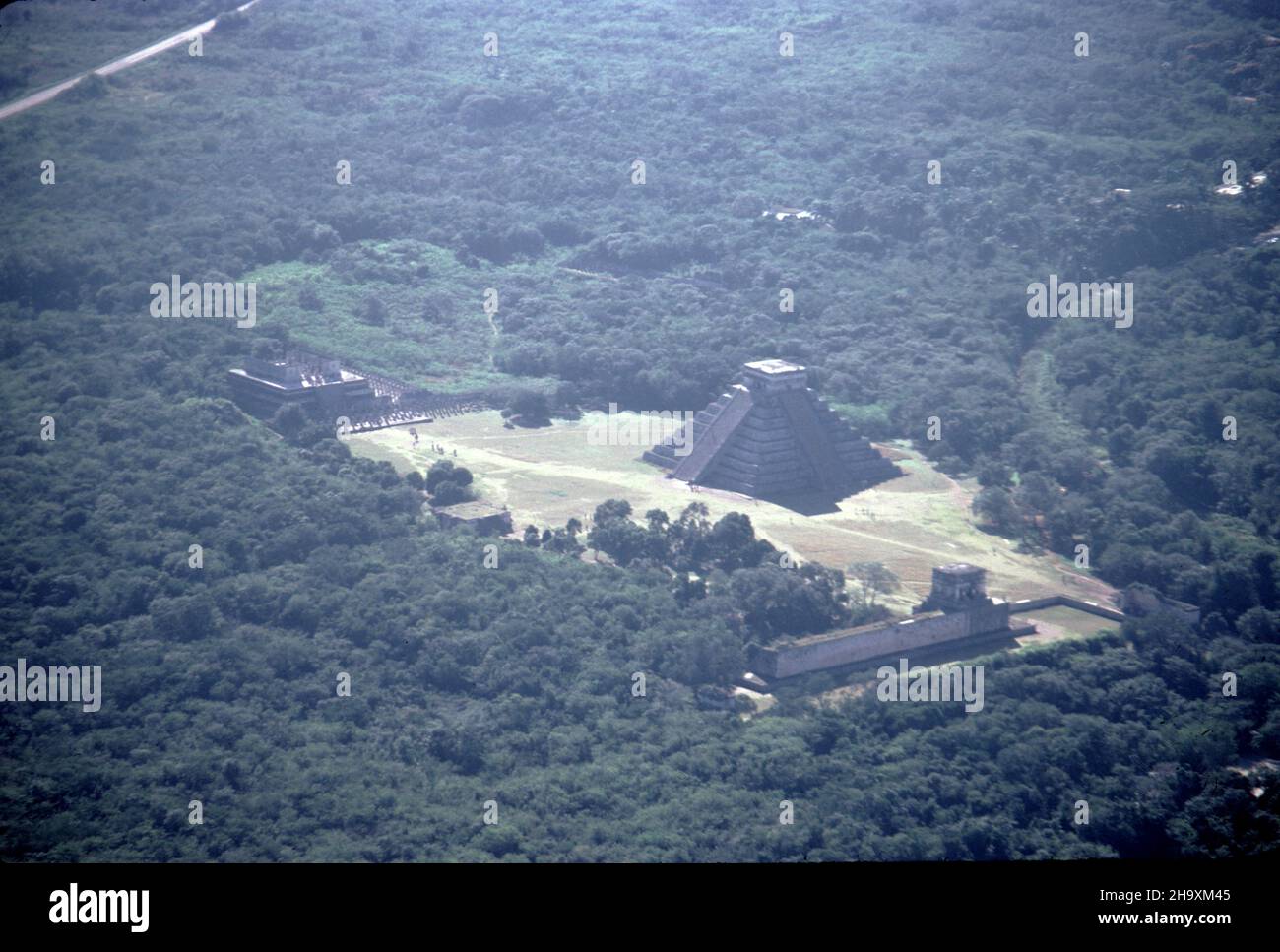 Chichen Itza Mexico. 12/27/1985. Aerial image of Chichen Itza ruins Stock Photohttps://www.alamy.com/image-license-details/?v=1https://www.alamy.com/chichen-itza-mexico-12271985-aerial-image-of-chichen-itza-ruins-image453588021.html
RM2H9XM45–Chichen Itza Mexico. 12/27/1985. Aerial image of Chichen Itza ruins
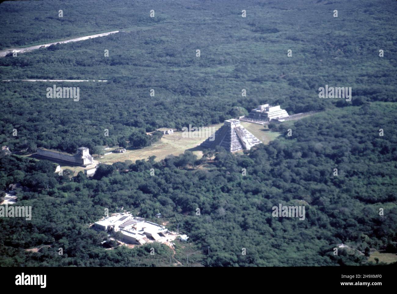 Chichen Itza Mexico. 12/27/1985. Aerial image of Chichen Itza ruins Stock Photohttps://www.alamy.com/image-license-details/?v=1https://www.alamy.com/chichen-itza-mexico-12271985-aerial-image-of-chichen-itza-ruins-image453588324.html
RM2H9XMF0–Chichen Itza Mexico. 12/27/1985. Aerial image of Chichen Itza ruins
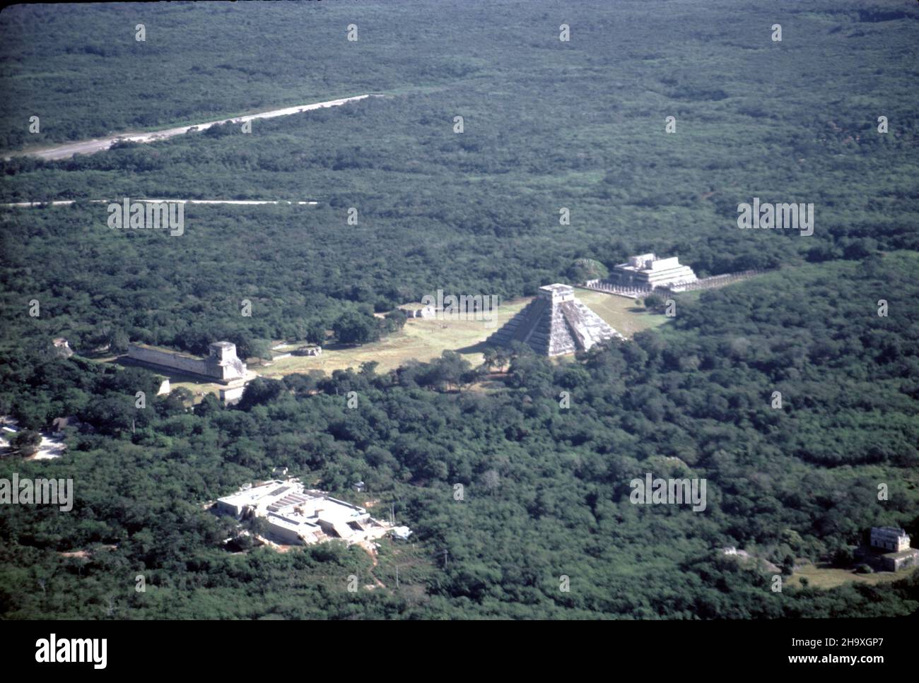 Chichen Itza Mexico. 12/27/1985. Aerial image of Chichen Itza ruins Stock Photohttps://www.alamy.com/image-license-details/?v=1https://www.alamy.com/chichen-itza-mexico-12271985-aerial-image-of-chichen-itza-ruins-image453585391.html
RM2H9XGP7–Chichen Itza Mexico. 12/27/1985. Aerial image of Chichen Itza ruins
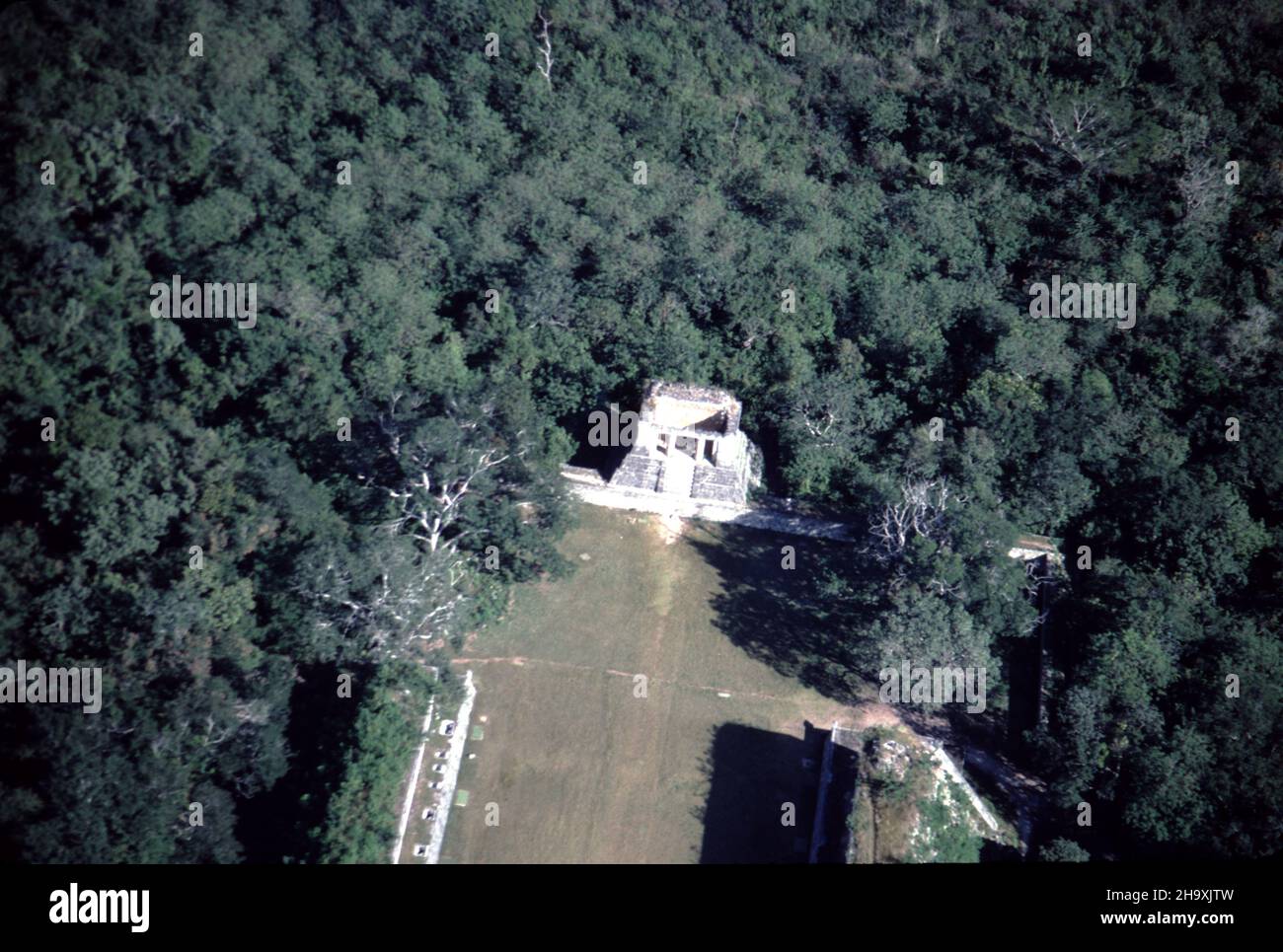 Chichen Itza Mexico. 12/27/1985. Aerial image of Chichen Itza ruins Stock Photohttps://www.alamy.com/image-license-details/?v=1https://www.alamy.com/chichen-itza-mexico-12271985-aerial-image-of-chichen-itza-ruins-image453587033.html
RM2H9XJTW–Chichen Itza Mexico. 12/27/1985. Aerial image of Chichen Itza ruins
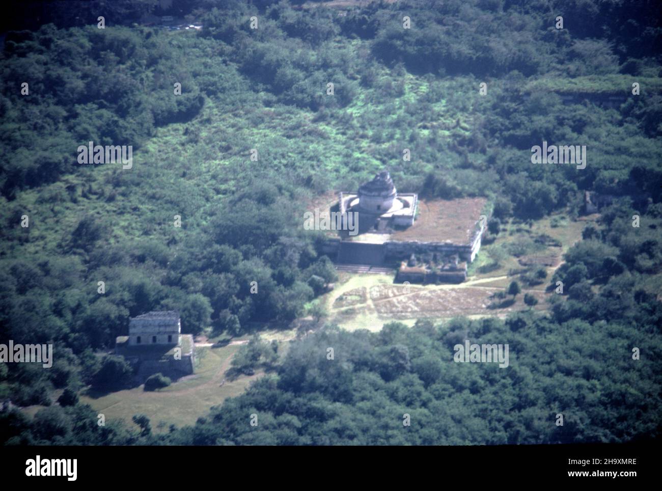 Chichen Itza Mexico. 12/27/1985. Aerial image of Chichen Itza ruins Stock Photohttps://www.alamy.com/image-license-details/?v=1https://www.alamy.com/chichen-itza-mexico-12271985-aerial-image-of-chichen-itza-ruins-image453588562.html
RM2H9XMRE–Chichen Itza Mexico. 12/27/1985. Aerial image of Chichen Itza ruins
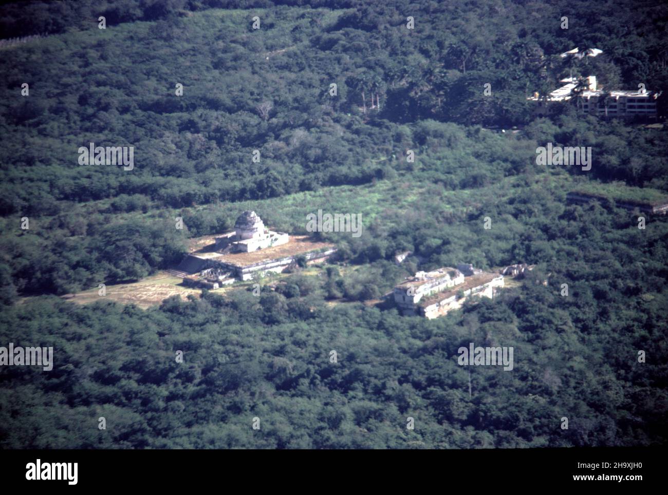 Chichen Itza Mexico. 12/27/1985. Aerial image of Chichen Itza ruins Stock Photohttps://www.alamy.com/image-license-details/?v=1https://www.alamy.com/chichen-itza-mexico-12271985-aerial-image-of-chichen-itza-ruins-image453586812.html
RM2H9XJH0–Chichen Itza Mexico. 12/27/1985. Aerial image of Chichen Itza ruins
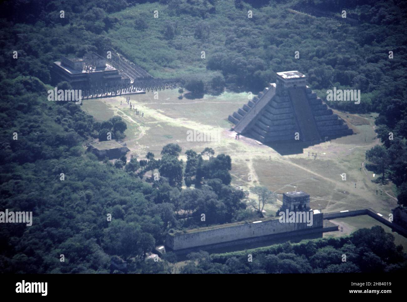 Chichen Itza Mexico. 12/27/1985. Aerial image of Chichen Itza ruins Stock Photohttps://www.alamy.com/image-license-details/?v=1https://www.alamy.com/chichen-itza-mexico-12271985-aerial-image-of-chichen-itza-ruins-image452474661.html
RM2H84019–Chichen Itza Mexico. 12/27/1985. Aerial image of Chichen Itza ruins
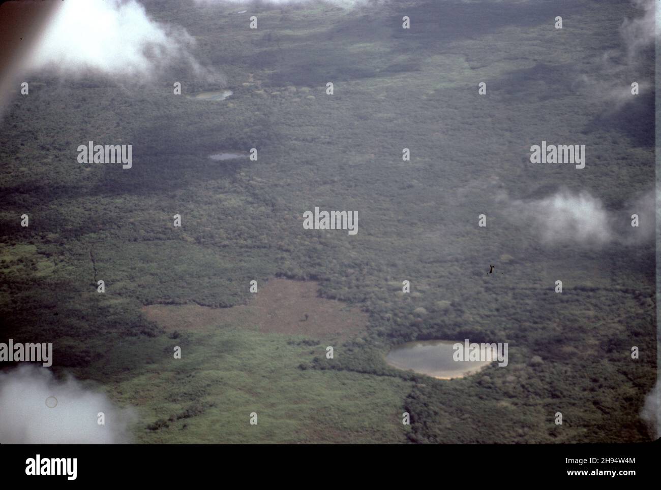 Yucatan, Mexico. 12/23/1985. Aerial view of a Yucatan Cenote. Yucatan is home to at least 6,000 cenotes. Cenote water is often very clear, as rain water is filtering through the ground containing very little suspended particulate matter. Historically, Maya peoples at Chichen Itza and Uxmal relied on Cenotes for water and for sacrificial offerings. Stock Photohttps://www.alamy.com/image-license-details/?v=1https://www.alamy.com/yucatan-mexico-12231985-aerial-view-of-a-yucatan-cenote-yucatan-is-home-to-at-least-6000-cenotes-cenote-water-is-often-very-clear-as-rain-water-is-filtering-through-the-ground-containing-very-little-suspended-particulate-matter-historically-maya-peoples-at-chichen-itza-and-uxmal-relied-on-cenotes-for-water-and-for-sacrificial-offerings-image453109012.html
RM2H94W4M–Yucatan, Mexico. 12/23/1985. Aerial view of a Yucatan Cenote. Yucatan is home to at least 6,000 cenotes. Cenote water is often very clear, as rain water is filtering through the ground containing very little suspended particulate matter. Historically, Maya peoples at Chichen Itza and Uxmal relied on Cenotes for water and for sacrificial offerings.
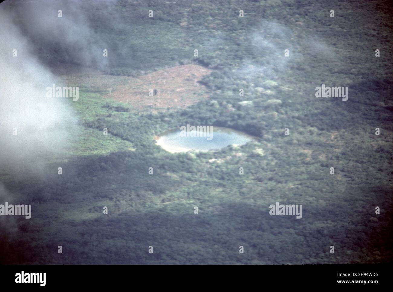 Yucatan, Mexico. 12/23/1985. Aerial view of a Yucatan Cenote. Yucatan is home to at least 6,000 cenotes. Cenote water is often very clear, as rain water is filtering through the ground containing very little suspended particulate matter. Historically, Maya peoples at Chichen Itza and Uxmal relied on Cenotes for water and for sacrificial offerings. Stock Photohttps://www.alamy.com/image-license-details/?v=1https://www.alamy.com/yucatan-mexico-12231985-aerial-view-of-a-yucatan-cenote-yucatan-is-home-to-at-least-6000-cenotes-cenote-water-is-often-very-clear-as-rain-water-is-filtering-through-the-ground-containing-very-little-suspended-particulate-matter-historically-maya-peoples-at-chichen-itza-and-uxmal-relied-on-cenotes-for-water-and-for-sacrificial-offerings-image453109250.html
RM2H94WD6–Yucatan, Mexico. 12/23/1985. Aerial view of a Yucatan Cenote. Yucatan is home to at least 6,000 cenotes. Cenote water is often very clear, as rain water is filtering through the ground containing very little suspended particulate matter. Historically, Maya peoples at Chichen Itza and Uxmal relied on Cenotes for water and for sacrificial offerings.
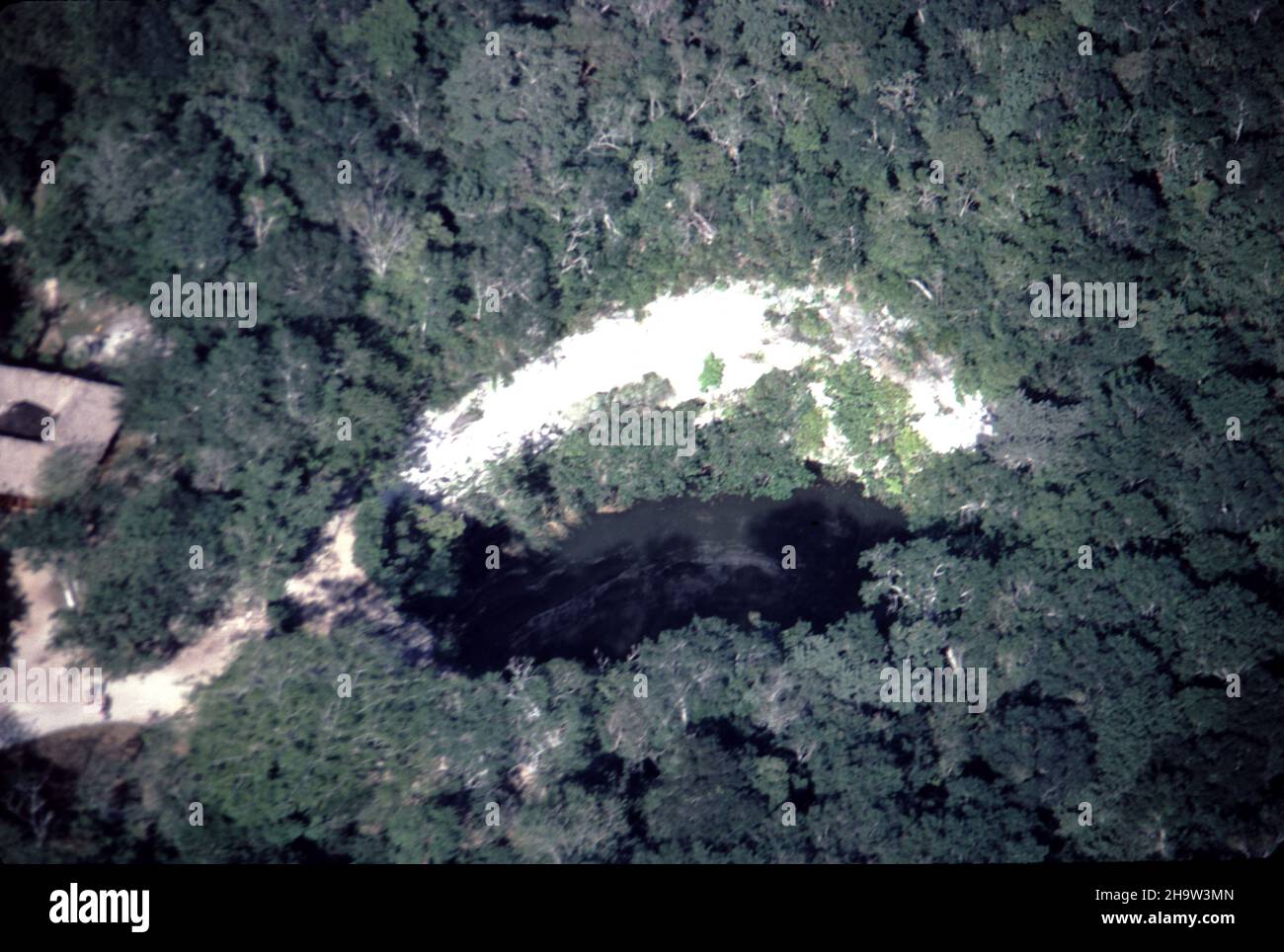 Yucatan, Mexico. 12/23/1985. Aerial view of a Yucatan Cenote. Yucatan is home to at least 6,000 cenotes. Cenote water is often very clear, as rain water is filtering through the ground containing very little suspended particulate matter. Historically, Maya peoples at Chichen Itza and Uxmal relied on Cenotes for water and for sacrificial offerings. Stock Photohttps://www.alamy.com/image-license-details/?v=1https://www.alamy.com/yucatan-mexico-12231985-aerial-view-of-a-yucatan-cenote-yucatan-is-home-to-at-least-6000-cenotes-cenote-water-is-often-very-clear-as-rain-water-is-filtering-through-the-ground-containing-very-little-suspended-particulate-matter-historically-maya-peoples-at-chichen-itza-and-uxmal-relied-on-cenotes-for-water-and-for-sacrificial-offerings-image453553205.html
RM2H9W3MN–Yucatan, Mexico. 12/23/1985. Aerial view of a Yucatan Cenote. Yucatan is home to at least 6,000 cenotes. Cenote water is often very clear, as rain water is filtering through the ground containing very little suspended particulate matter. Historically, Maya peoples at Chichen Itza and Uxmal relied on Cenotes for water and for sacrificial offerings.
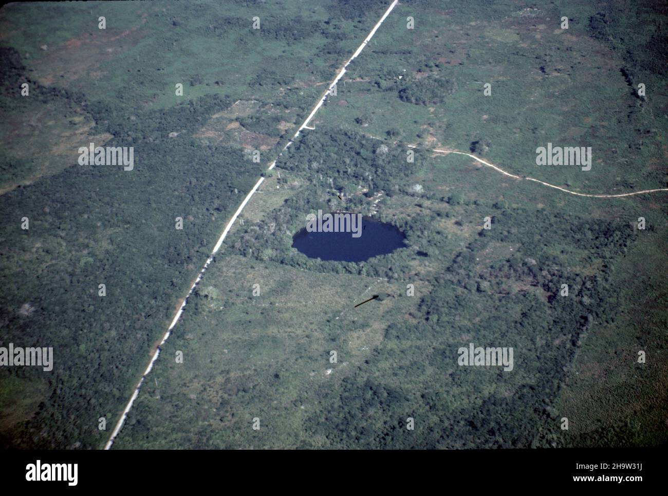 Yucatan, Mexico. 12/23/1985. Aerial view of a Yucatan Cenote. Yucatan is home to at least 6,000 cenotes. Cenote water is often very clear, as rain water is filtering through the ground containing very little suspended particulate matter. Historically, Maya peoples at Chichen Itza and Uxmal relied on Cenotes for water and for sacrificial offerings. Stock Photohttps://www.alamy.com/image-license-details/?v=1https://www.alamy.com/yucatan-mexico-12231985-aerial-view-of-a-yucatan-cenote-yucatan-is-home-to-at-least-6000-cenotes-cenote-water-is-often-very-clear-as-rain-water-is-filtering-through-the-ground-containing-very-little-suspended-particulate-matter-historically-maya-peoples-at-chichen-itza-and-uxmal-relied-on-cenotes-for-water-and-for-sacrificial-offerings-image453552670.html
RM2H9W31J–Yucatan, Mexico. 12/23/1985. Aerial view of a Yucatan Cenote. Yucatan is home to at least 6,000 cenotes. Cenote water is often very clear, as rain water is filtering through the ground containing very little suspended particulate matter. Historically, Maya peoples at Chichen Itza and Uxmal relied on Cenotes for water and for sacrificial offerings.
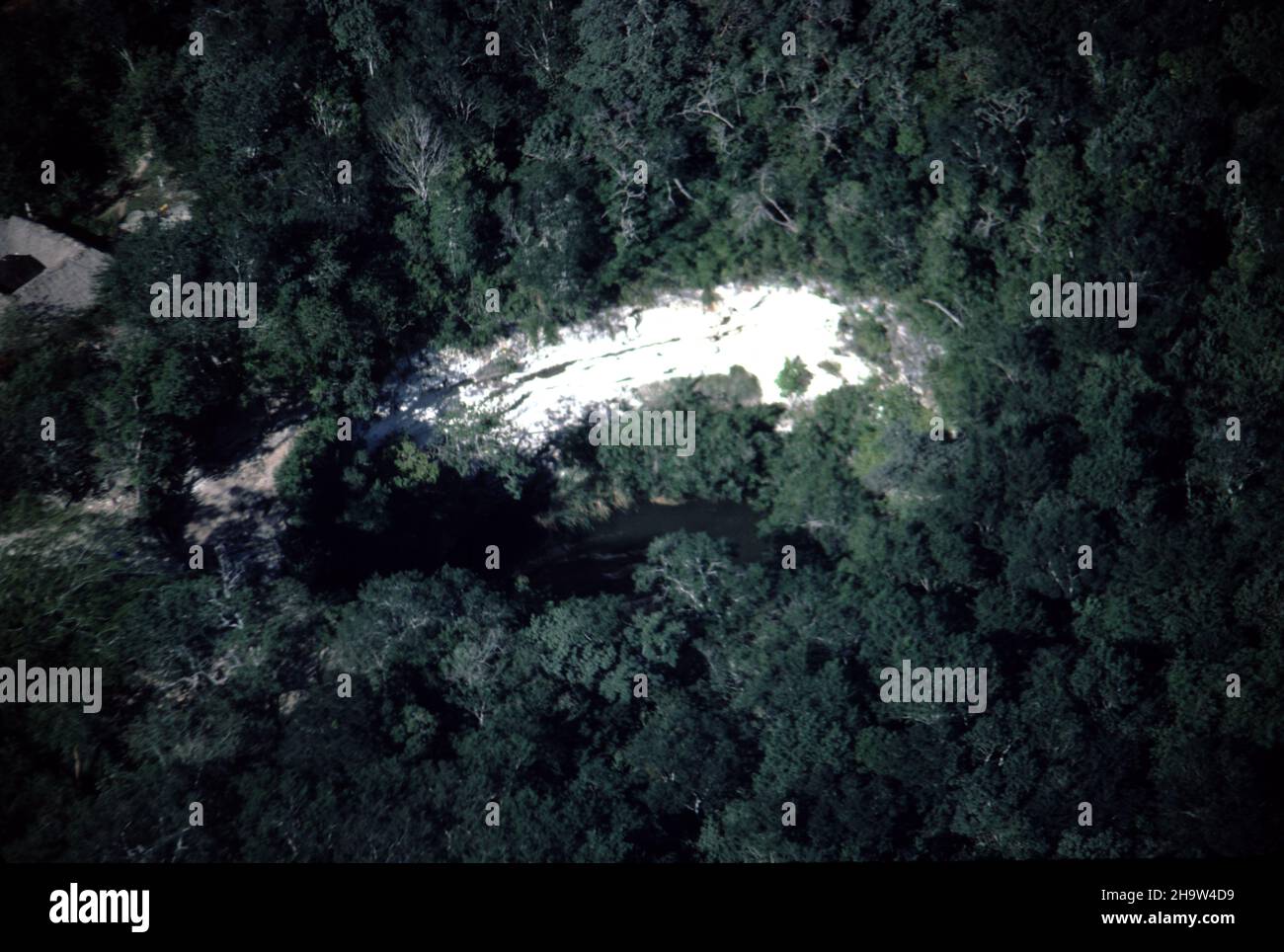 Yucatan, Mexico. 12/23/1985. Aerial view of a Yucatan Cenote. Yucatan is home to at least 6,000 cenotes. Cenote water is often very clear, as rain water is filtering through the ground containing very little suspended particulate matter. Historically, Maya peoples at Chichen Itza and Uxmal relied on Cenotes for water and for sacrificial offerings. Stock Photohttps://www.alamy.com/image-license-details/?v=1https://www.alamy.com/yucatan-mexico-12231985-aerial-view-of-a-yucatan-cenote-yucatan-is-home-to-at-least-6000-cenotes-cenote-water-is-often-very-clear-as-rain-water-is-filtering-through-the-ground-containing-very-little-suspended-particulate-matter-historically-maya-peoples-at-chichen-itza-and-uxmal-relied-on-cenotes-for-water-and-for-sacrificial-offerings-image453553781.html
RM2H9W4D9–Yucatan, Mexico. 12/23/1985. Aerial view of a Yucatan Cenote. Yucatan is home to at least 6,000 cenotes. Cenote water is often very clear, as rain water is filtering through the ground containing very little suspended particulate matter. Historically, Maya peoples at Chichen Itza and Uxmal relied on Cenotes for water and for sacrificial offerings.
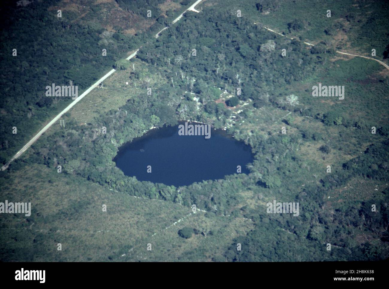 Yucatan, Mexico. 12/23/1985. Aerial view of a Yucatan Cenote. Yucatan is home to at least 6,000 cenotes. Cenote water is often very clear, as rain water is filtering through the ground containing very little suspended particulate matter. Historically, Maya peoples at Chichen Itza and Uxmal relied on Cenotes for water and for sacrificial offerings. Stock Photohttps://www.alamy.com/image-license-details/?v=1https://www.alamy.com/yucatan-mexico-12231985-aerial-view-of-a-yucatan-cenote-yucatan-is-home-to-at-least-6000-cenotes-cenote-water-is-often-very-clear-as-rain-water-is-filtering-through-the-ground-containing-very-little-suspended-particulate-matter-historically-maya-peoples-at-chichen-itza-and-uxmal-relied-on-cenotes-for-water-and-for-sacrificial-offerings-image452808700.html
RM2H8K638–Yucatan, Mexico. 12/23/1985. Aerial view of a Yucatan Cenote. Yucatan is home to at least 6,000 cenotes. Cenote water is often very clear, as rain water is filtering through the ground containing very little suspended particulate matter. Historically, Maya peoples at Chichen Itza and Uxmal relied on Cenotes for water and for sacrificial offerings.