Zamora vector vectors Stock Vectors & Vector Art
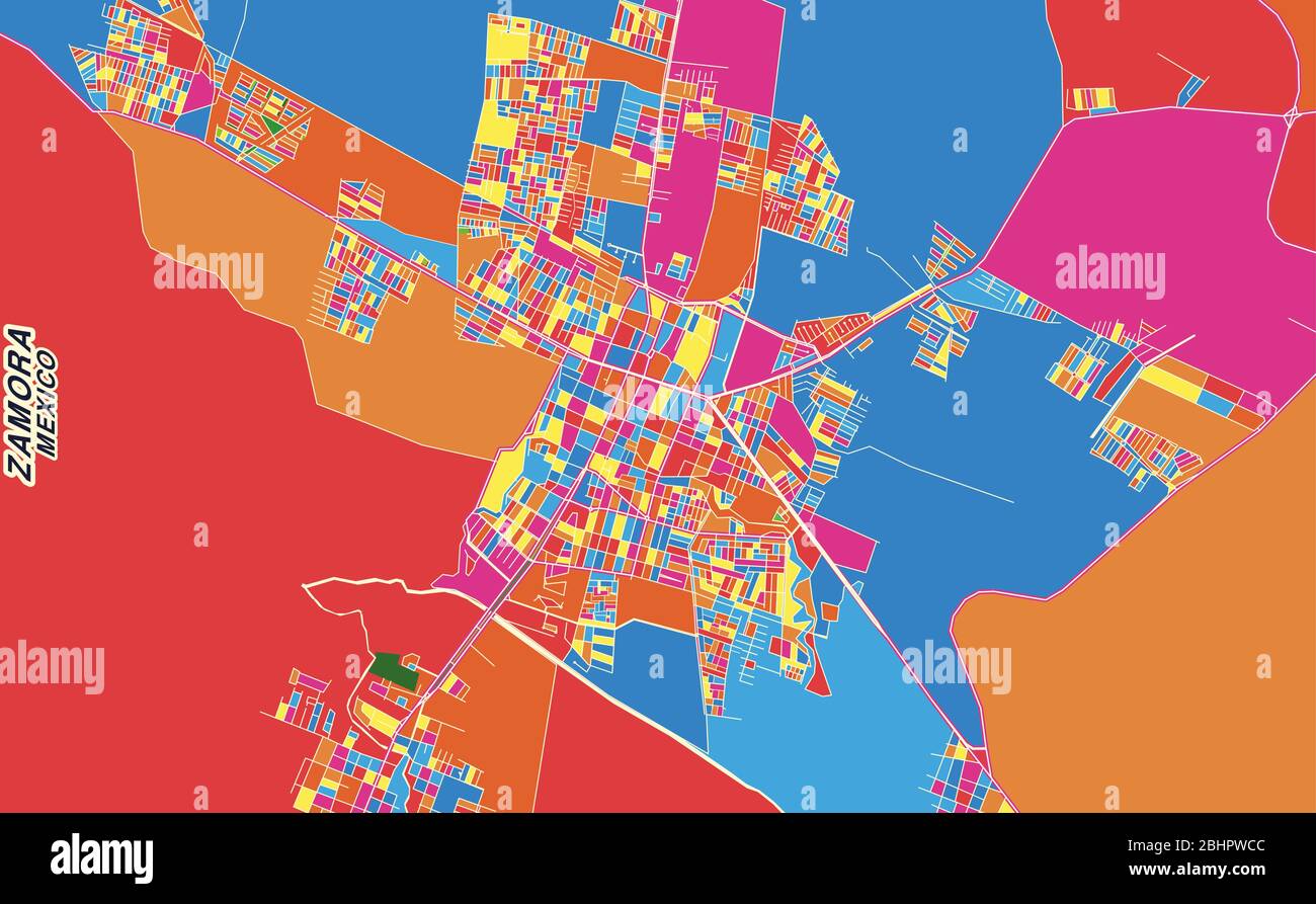 Colorful vector map of Zamora, Michoacán, Mexico. Art Map template for selfprinting wall art in landscape format. Stock Vectorhttps://www.alamy.com/image-license-details/?v=1https://www.alamy.com/colorful-vector-map-of-zamora-michoacn-mexico-art-map-template-for-selfprinting-wall-art-in-landscape-format-image355159404.html
RF2BHPWCC–Colorful vector map of Zamora, Michoacán, Mexico. Art Map template for selfprinting wall art in landscape format.
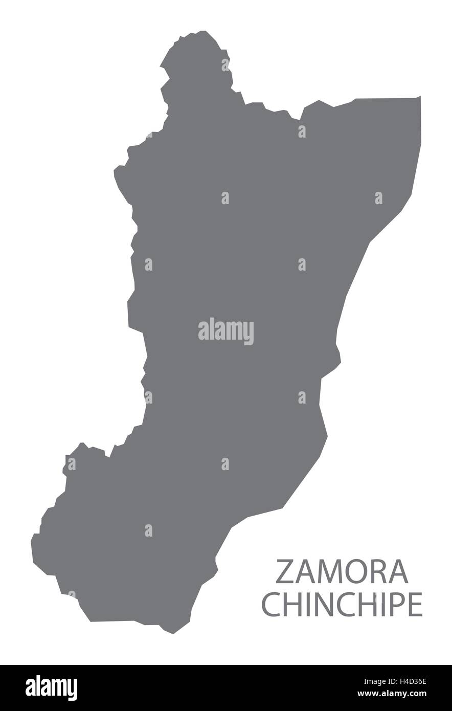 Zamora Chinchipe Ecuador Map grey Stock Vectorhttps://www.alamy.com/image-license-details/?v=1https://www.alamy.com/stock-photo-zamora-chinchipe-ecuador-map-grey-123219110.html
RFH4D36E–Zamora Chinchipe Ecuador Map grey
RFPJHJ2F–Set of icons. Provinces of Spain flags. Vector.
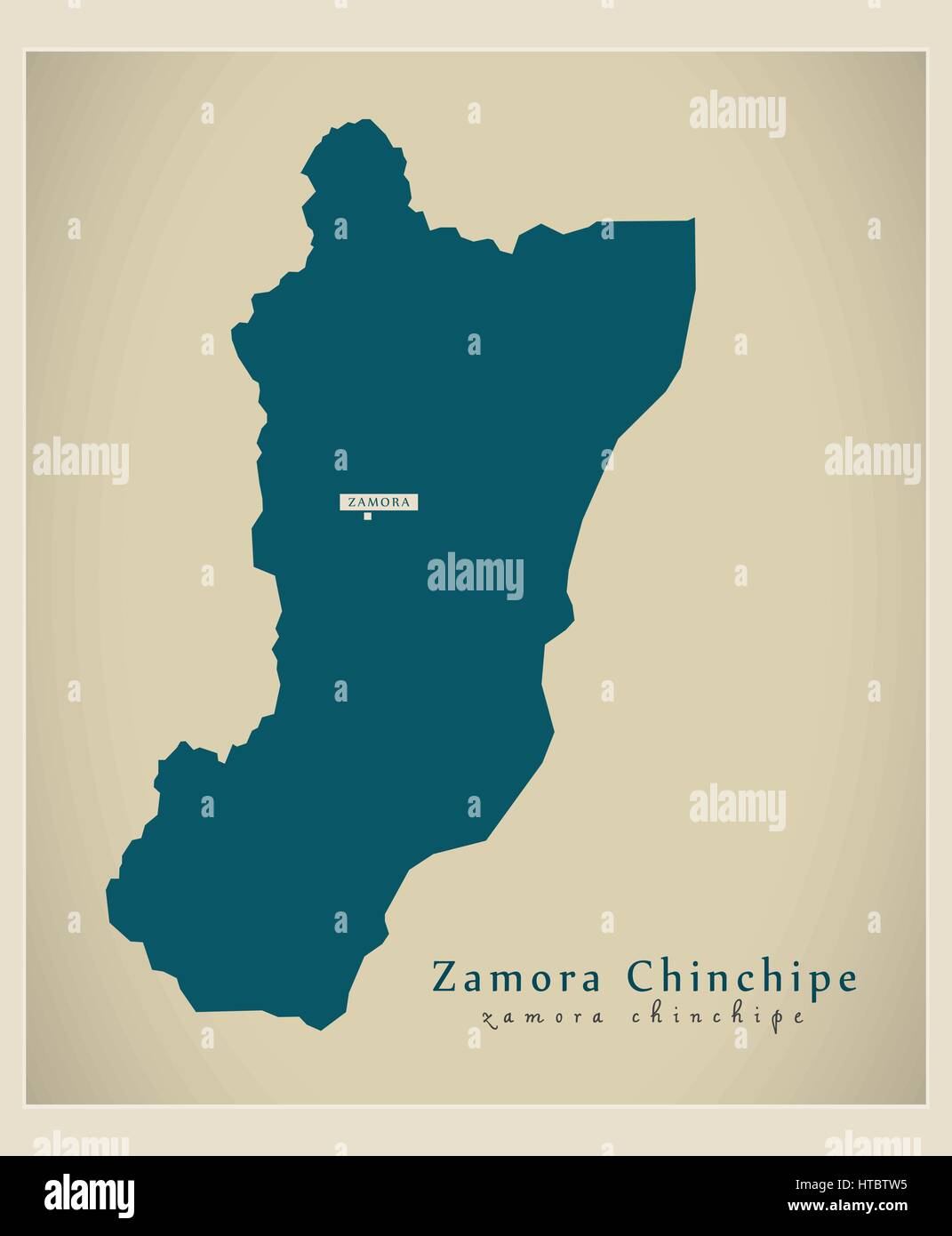 Modern Map - Zamora Chinchipe EC illustration silhouette Stock Vectorhttps://www.alamy.com/image-license-details/?v=1https://www.alamy.com/stock-photo-modern-map-zamora-chinchipe-ec-illustration-silhouette-135485313.html
RFHTBTW5–Modern Map - Zamora Chinchipe EC illustration silhouette
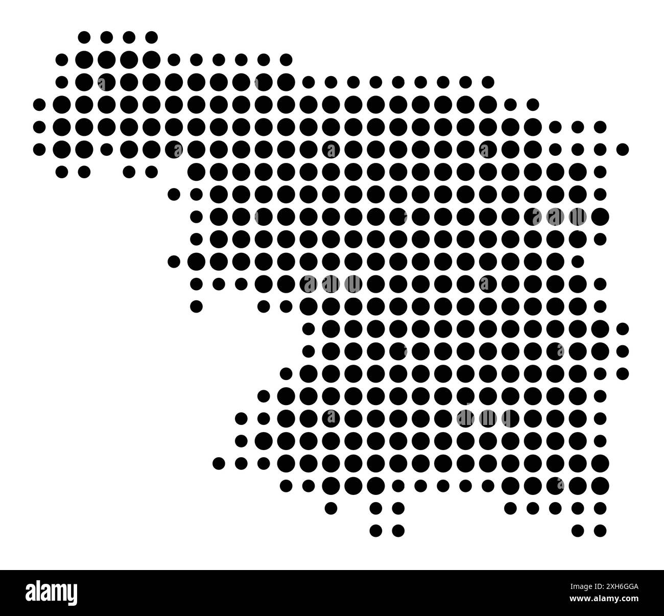 Symbol Map of the Provincia Zamora (Spain) showing the state/province with a pattern of black circles Stock Vectorhttps://www.alamy.com/image-license-details/?v=1https://www.alamy.com/symbol-map-of-the-provincia-zamora-spain-showing-the-stateprovince-with-a-pattern-of-black-circles-image612956746.html
RF2XH6GGA–Symbol Map of the Provincia Zamora (Spain) showing the state/province with a pattern of black circles
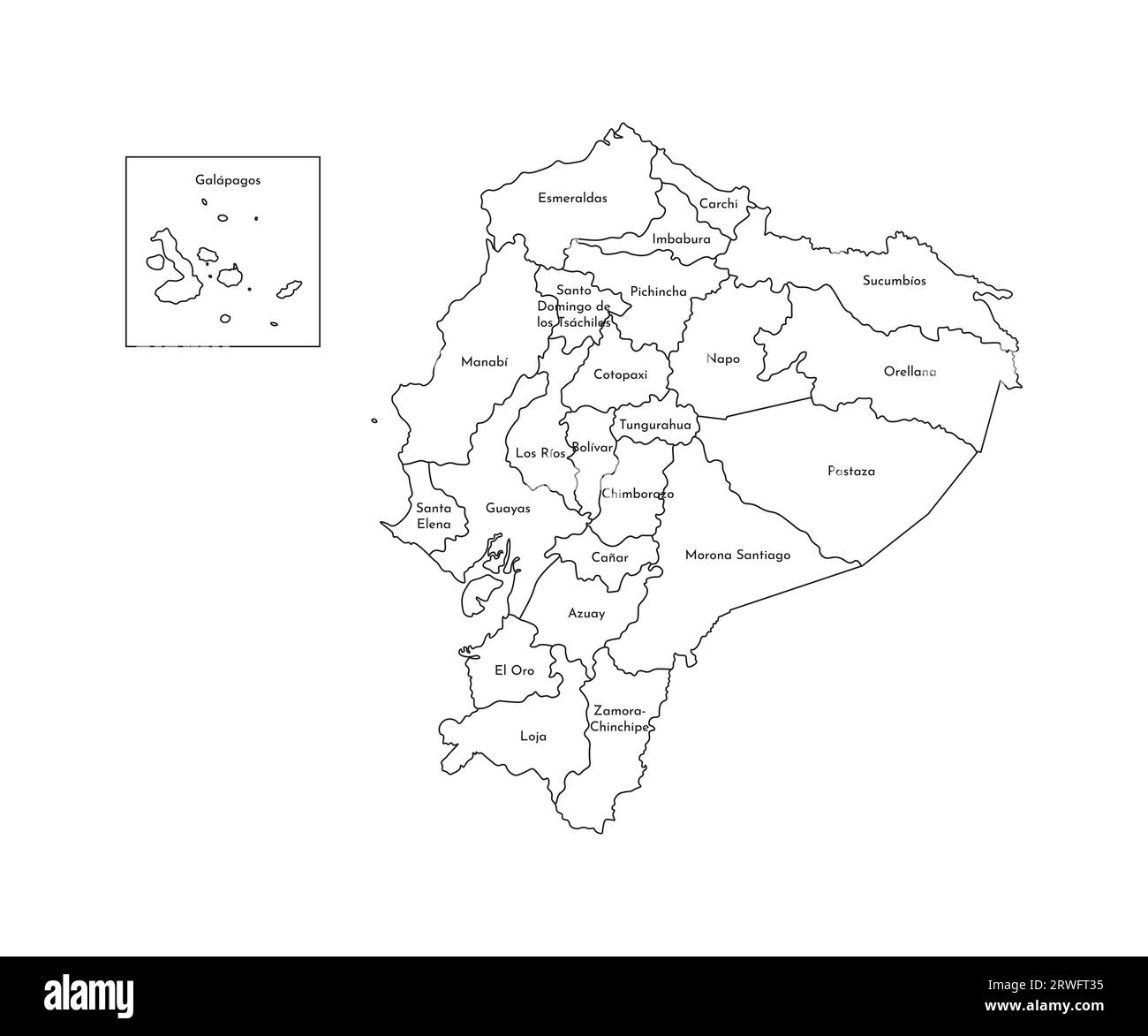 Vector isolated illustration of simplified administrative map of Ecuador. Borders and names of the provinces (regions). Black line silhouettes. Stock Vectorhttps://www.alamy.com/image-license-details/?v=1https://www.alamy.com/vector-isolated-illustration-of-simplified-administrative-map-of-ecuador-borders-and-names-of-the-provinces-regions-black-line-silhouettes-image566446361.html
RF2RWFT35–Vector isolated illustration of simplified administrative map of Ecuador. Borders and names of the provinces (regions). Black line silhouettes.
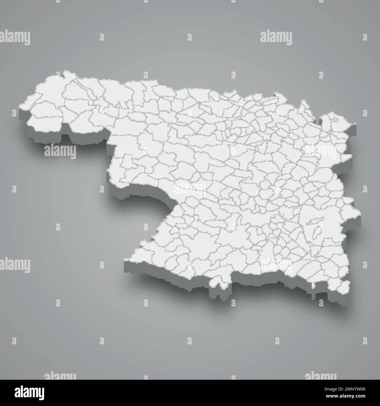 3d isometric map of Zamora is a province of Spain with borders municipalities Stock Vectorhttps://www.alamy.com/image-license-details/?v=1https://www.alamy.com/3d-isometric-map-of-zamora-is-a-province-of-spain-with-borders-municipalities-image598606759.html
RF2WNTW0R–3d isometric map of Zamora is a province of Spain with borders municipalities
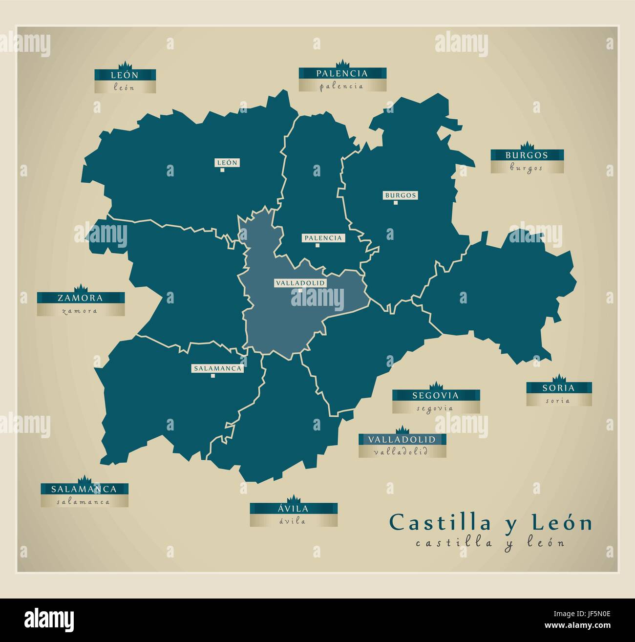 modern map - castilla y len es Stock Vectorhttps://www.alamy.com/image-license-details/?v=1https://www.alamy.com/stock-photo-modern-map-castilla-y-len-es-147029022.html
RFJF5N0E–modern map - castilla y len es
 Zamora Chinchipe province outline map set Stock Vectorhttps://www.alamy.com/image-license-details/?v=1https://www.alamy.com/zamora-chinchipe-province-outline-map-set-image621103834.html
RF2Y2DM7P–Zamora Chinchipe province outline map set
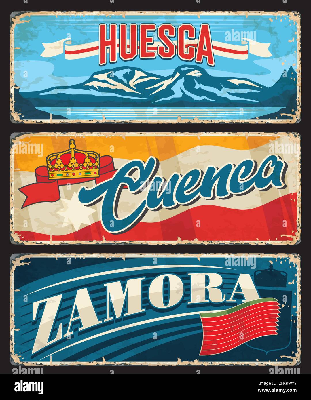 Huesca, Cuenca and Zamora province of Spain vector plates. Spanish Aragon, Castile la Mancha and Castile and Leon community province tin plates with f Stock Vectorhttps://www.alamy.com/image-license-details/?v=1https://www.alamy.com/huesca-cuenca-and-zamora-province-of-spain-vector-plates-spanish-aragon-castile-la-mancha-and-castile-and-leon-community-province-tin-plates-with-f-image425252557.html
RF2FKRWY9–Huesca, Cuenca and Zamora province of Spain vector plates. Spanish Aragon, Castile la Mancha and Castile and Leon community province tin plates with f
 Zamora Chinchipe Province (Republic of Ecuador, Provinces of Ecuador) map vector illustration, scribble sketch Zamora-Chinchipe map Stock Vectorhttps://www.alamy.com/image-license-details/?v=1https://www.alamy.com/zamora-chinchipe-province-republic-of-ecuador-provinces-of-ecuador-map-vector-illustration-scribble-sketch-zamora-chinchipe-map-image259368281.html
RFW1Y6TW–Zamora Chinchipe Province (Republic of Ecuador, Provinces of Ecuador) map vector illustration, scribble sketch Zamora-Chinchipe map
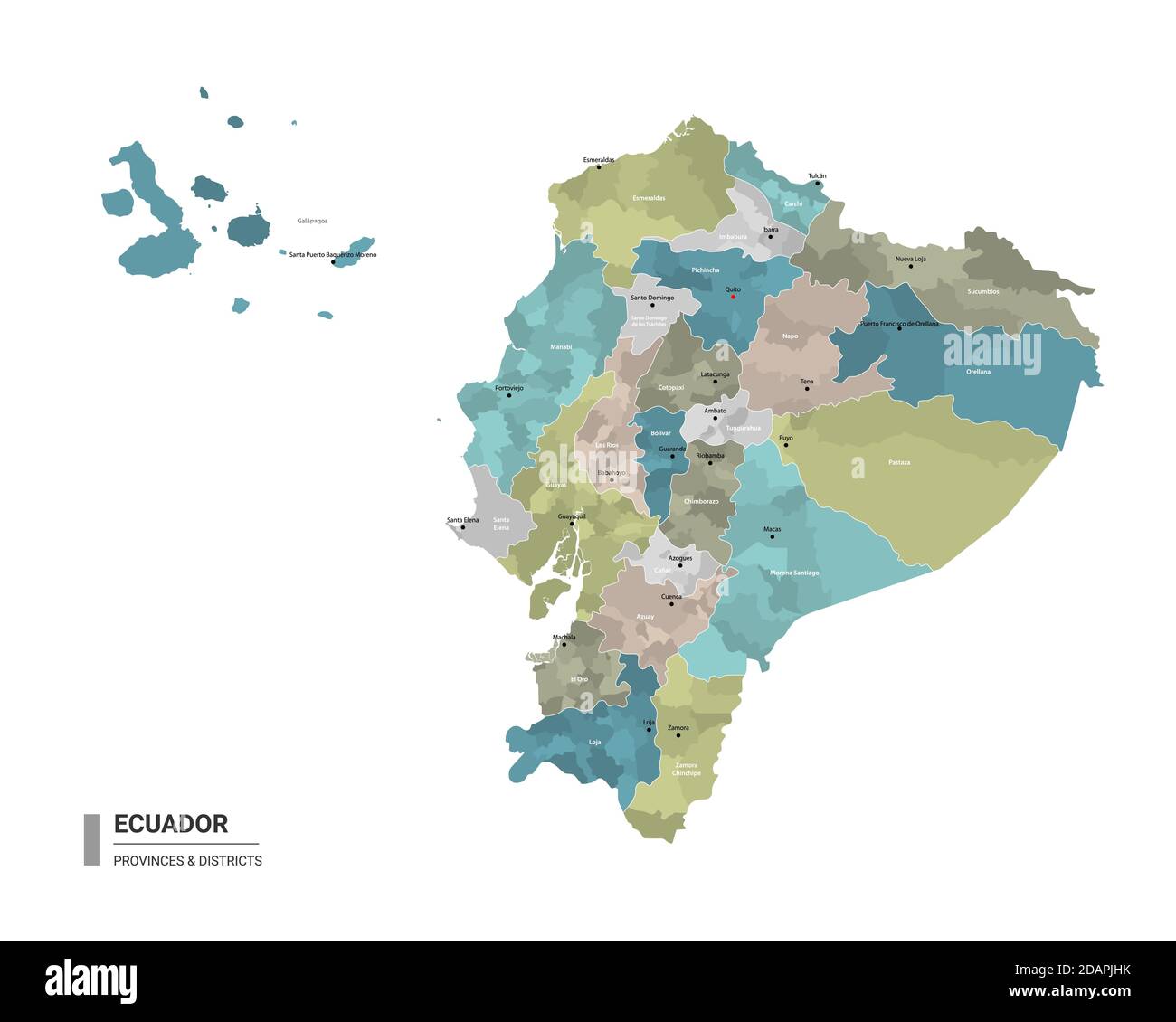 Ecuador higt detailed map with subdivisions. Administrative map of Ecuador with districts and cities name, colored by states and administrative distri Stock Vectorhttps://www.alamy.com/image-license-details/?v=1https://www.alamy.com/ecuador-higt-detailed-map-with-subdivisions-administrative-map-of-ecuador-with-districts-and-cities-name-colored-by-states-and-administrative-distri-image385272207.html
RF2DAPJHK–Ecuador higt detailed map with subdivisions. Administrative map of Ecuador with districts and cities name, colored by states and administrative distri
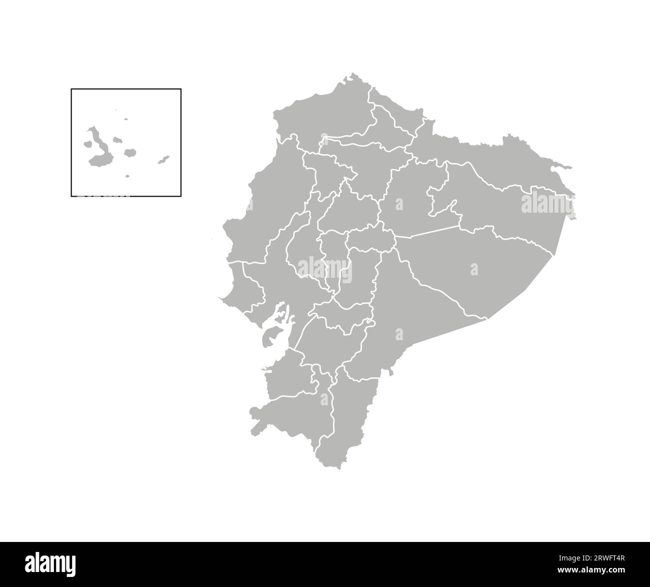 Vector isolated illustration of simplified administrative map of Ecuador. Borders of the provinces (regions). Grey silhouettes. White outline. Stock Vectorhttps://www.alamy.com/image-license-details/?v=1https://www.alamy.com/vector-isolated-illustration-of-simplified-administrative-map-of-ecuador-borders-of-the-provinces-regions-grey-silhouettes-white-outline-image566446407.html
RF2RWFT4R–Vector isolated illustration of simplified administrative map of Ecuador. Borders of the provinces (regions). Grey silhouettes. White outline.
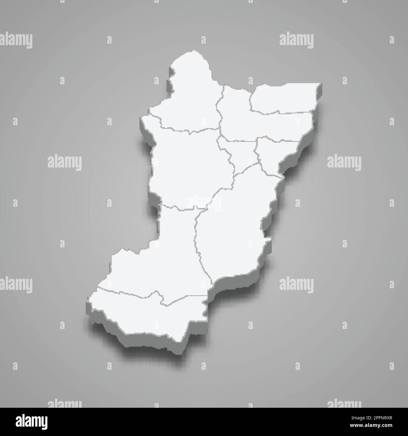 3d isometric map of Zamora Chinchipe is a province of Ecuador isolated with shadow Stock Vectorhttps://www.alamy.com/image-license-details/?v=1https://www.alamy.com/3d-isometric-map-of-zamora-chinchipe-is-a-province-of-ecuador-isolated-with-shadow-image543221023.html
RF2PFNRXR–3d isometric map of Zamora Chinchipe is a province of Ecuador isolated with shadow
 Zamora Chinchipe Province (Republic of Ecuador, Provinces of Ecuador) map vector illustration, scribble sketch Zamora-Chinchipe map Stock Vectorhttps://www.alamy.com/image-license-details/?v=1https://www.alamy.com/zamora-chinchipe-province-republic-of-ecuador-provinces-of-ecuador-map-vector-illustration-scribble-sketch-zamora-chinchipe-map-image260411398.html
RFW3JNB2–Zamora Chinchipe Province (Republic of Ecuador, Provinces of Ecuador) map vector illustration, scribble sketch Zamora-Chinchipe map
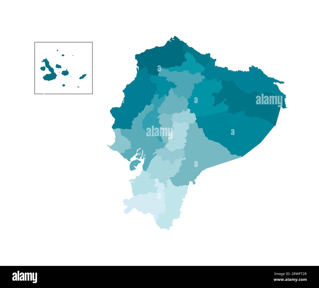 Vector isolated illustration of simplified administrative map of Ecuador. Borders of the provinces (regions). Colorful blue khaki silhouettes. Stock Vectorhttps://www.alamy.com/image-license-details/?v=1https://www.alamy.com/vector-isolated-illustration-of-simplified-administrative-map-of-ecuador-borders-of-the-provinces-regions-colorful-blue-khaki-silhouettes-image566446351.html
RF2RWFT2R–Vector isolated illustration of simplified administrative map of Ecuador. Borders of the provinces (regions). Colorful blue khaki silhouettes.
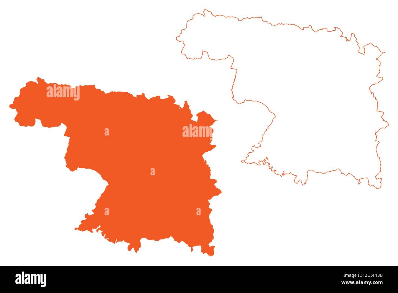 Province of Zamora (Kingdom of Spain, Autonomous Community Castile and Leon) map vector illustration, scribble sketch Zamora map Stock Vectorhttps://www.alamy.com/image-license-details/?v=1https://www.alamy.com/province-of-zamora-kingdom-of-spain-autonomous-community-castile-and-leon-map-vector-illustration-scribble-sketch-zamora-map-image433662639.html
RF2G5F13B–Province of Zamora (Kingdom of Spain, Autonomous Community Castile and Leon) map vector illustration, scribble sketch Zamora map
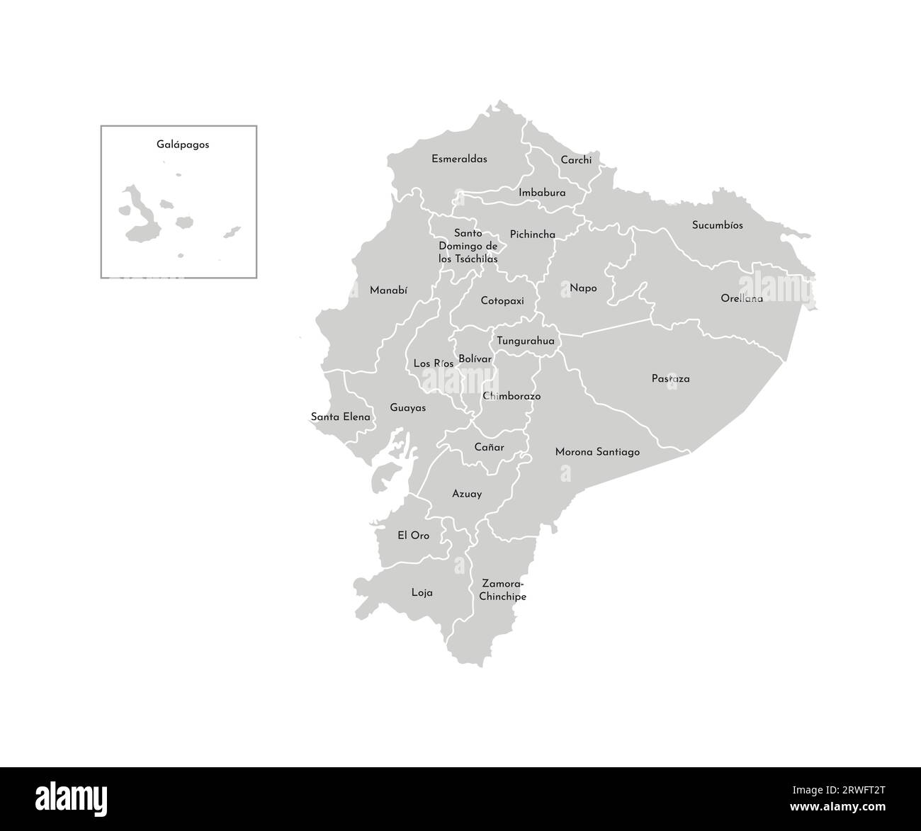 Vector isolated illustration of simplified administrative map of Ecuador. Borders and names of the provinces (regions). Grey silhouettes. White outlin Stock Vectorhttps://www.alamy.com/image-license-details/?v=1https://www.alamy.com/vector-isolated-illustration-of-simplified-administrative-map-of-ecuador-borders-and-names-of-the-provinces-regions-grey-silhouettes-white-outlin-image566446352.html
RF2RWFT2T–Vector isolated illustration of simplified administrative map of Ecuador. Borders and names of the provinces (regions). Grey silhouettes. White outlin
 Zamora Chinchipe Province (Republic of Ecuador, Provinces of Ecuador) map vector illustration, scribble sketch Zamora-Chinchipe map Stock Vectorhttps://www.alamy.com/image-license-details/?v=1https://www.alamy.com/zamora-chinchipe-province-republic-of-ecuador-provinces-of-ecuador-map-vector-illustration-scribble-sketch-zamora-chinchipe-map-image249131510.html
RFTD8WNX–Zamora Chinchipe Province (Republic of Ecuador, Provinces of Ecuador) map vector illustration, scribble sketch Zamora-Chinchipe map
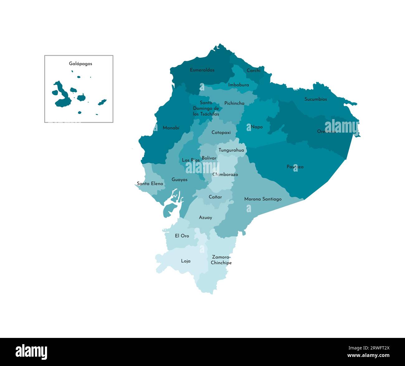 Vector isolated illustration of simplified administrative map of Ecuador. Borders and names of the provinces (regions). Colorful blue khaki silhouette Stock Vectorhttps://www.alamy.com/image-license-details/?v=1https://www.alamy.com/vector-isolated-illustration-of-simplified-administrative-map-of-ecuador-borders-and-names-of-the-provinces-regions-colorful-blue-khaki-silhouette-image566446354.html
RF2RWFT2X–Vector isolated illustration of simplified administrative map of Ecuador. Borders and names of the provinces (regions). Colorful blue khaki silhouette
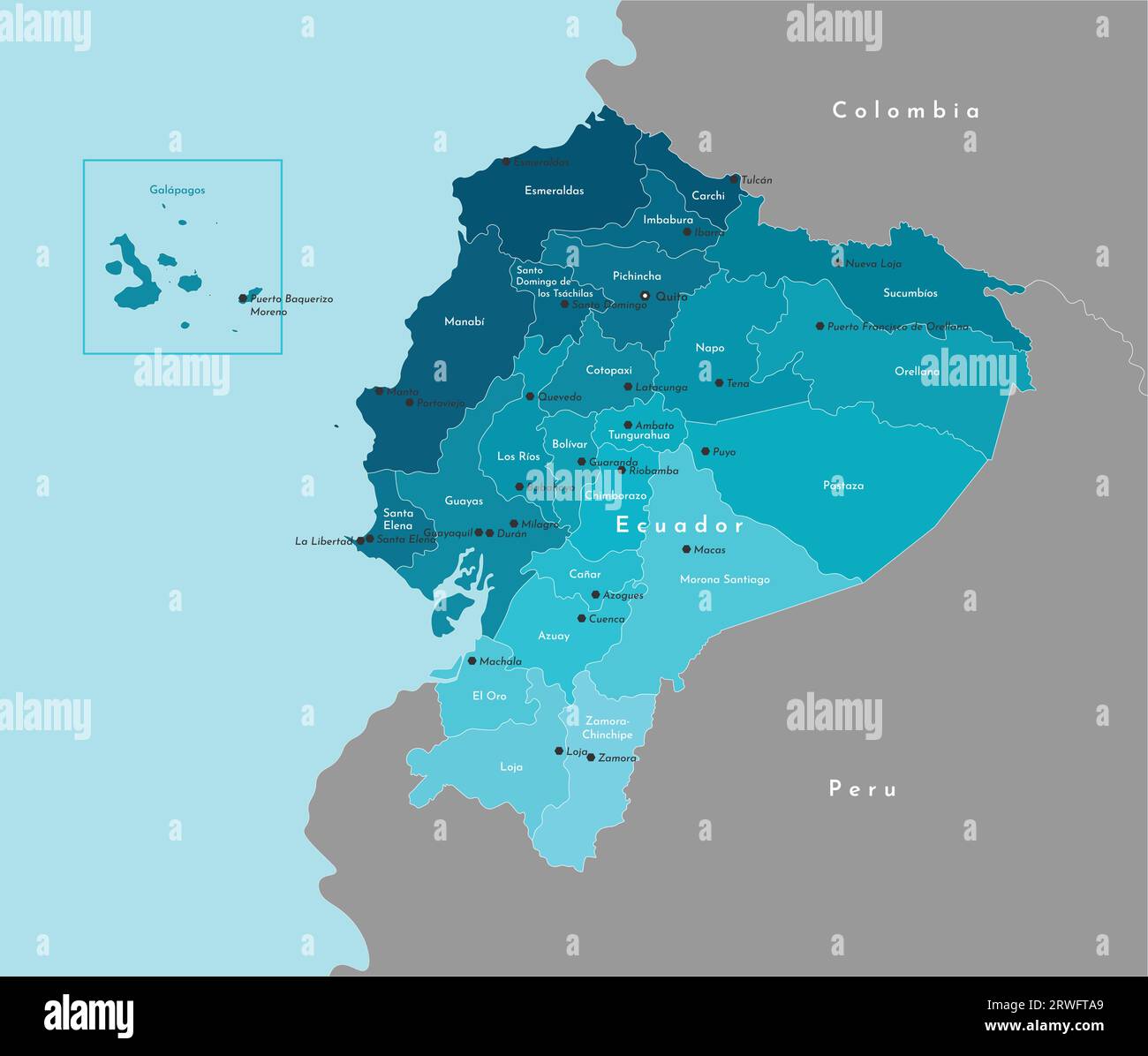 Vector modern illustration. Simplified administrative map of Ecuador and border with neighboring countries. Blue background of Pacific Ocean. Names of Stock Vectorhttps://www.alamy.com/image-license-details/?v=1https://www.alamy.com/vector-modern-illustration-simplified-administrative-map-of-ecuador-and-border-with-neighboring-countries-blue-background-of-pacific-ocean-names-of-image566446561.html
RF2RWFTA9–Vector modern illustration. Simplified administrative map of Ecuador and border with neighboring countries. Blue background of Pacific Ocean. Names of
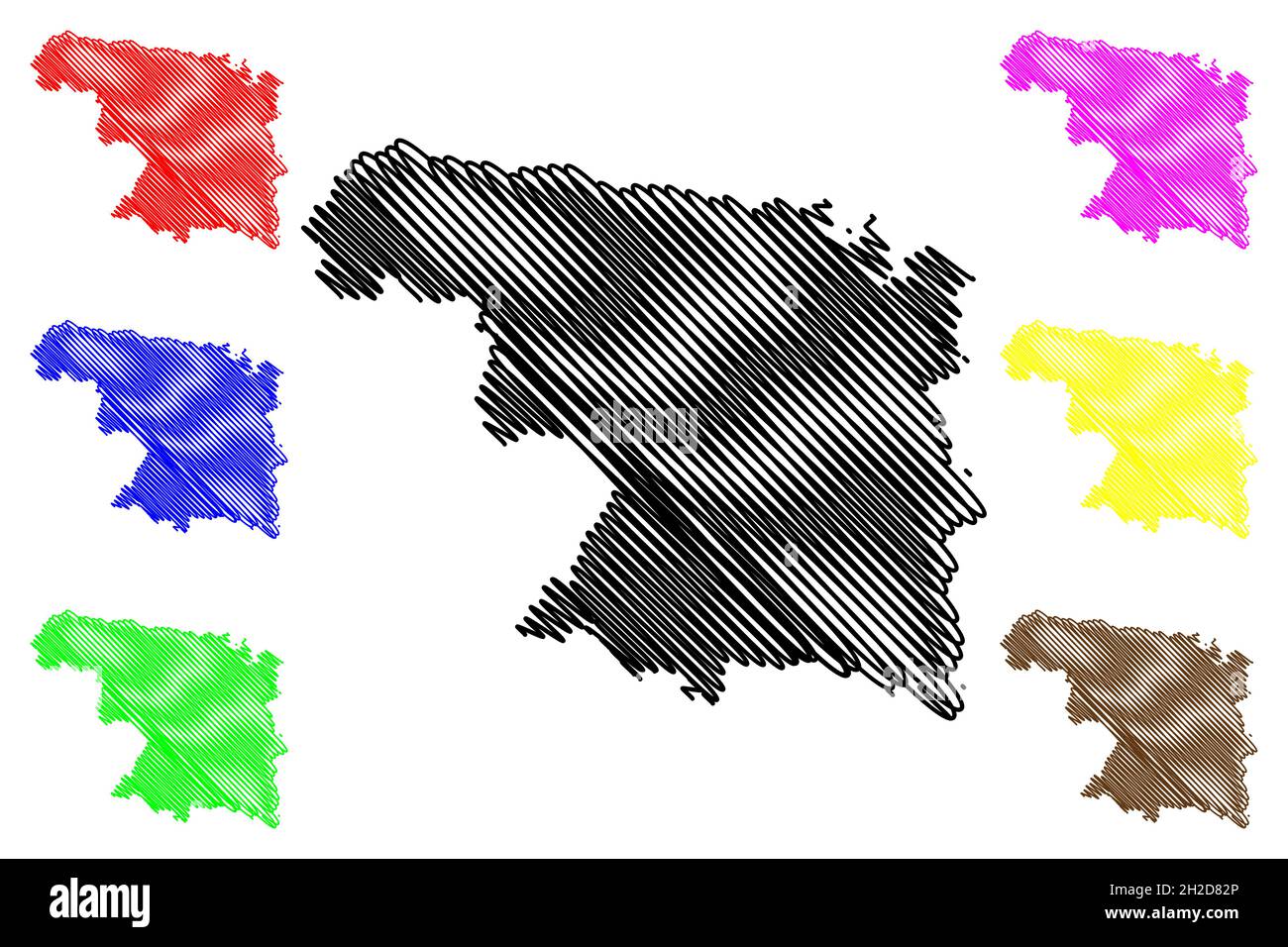 Province of Zamora (Kingdom of Spain, Autonomous Community Castile and Leon) map vector illustration, scribble sketch Zamora map Stock Vectorhttps://www.alamy.com/image-license-details/?v=1https://www.alamy.com/province-of-zamora-kingdom-of-spain-autonomous-community-castile-and-leon-map-vector-illustration-scribble-sketch-zamora-map-image448990606.html
RF2H2D82P–Province of Zamora (Kingdom of Spain, Autonomous Community Castile and Leon) map vector illustration, scribble sketch Zamora map
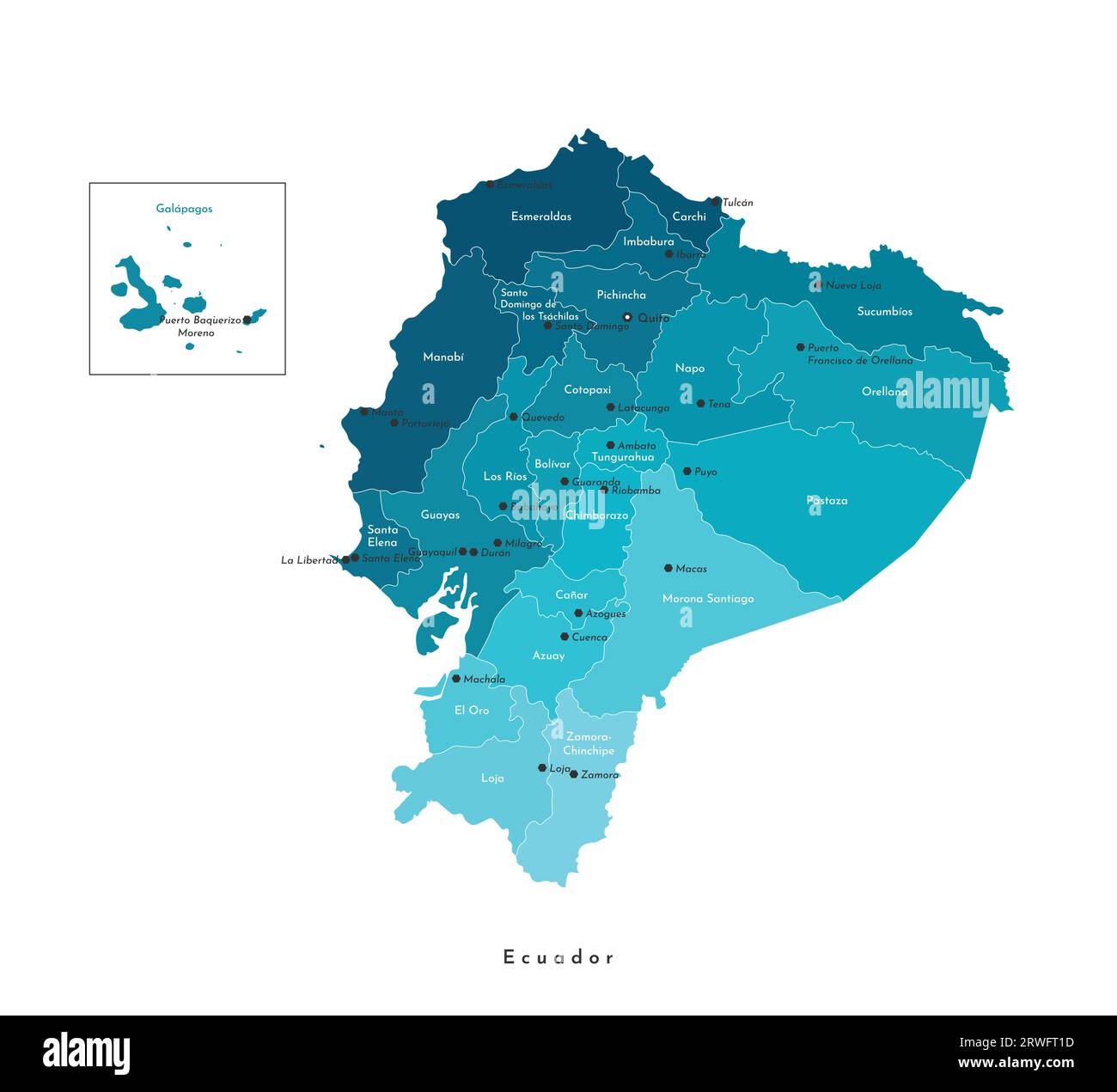 Vector isolated illustration. Simplified administrative map of Ecuador in blue colors. White background and outlines. Names of Ecuadorian big cities a Stock Vectorhttps://www.alamy.com/image-license-details/?v=1https://www.alamy.com/vector-isolated-illustration-simplified-administrative-map-of-ecuador-in-blue-colors-white-background-and-outlines-names-of-ecuadorian-big-cities-a-image566446313.html
RF2RWFT1D–Vector isolated illustration. Simplified administrative map of Ecuador in blue colors. White background and outlines. Names of Ecuadorian big cities a
 Province of Zamora (Kingdom of Spain, Autonomous Community Castile and Leon) map vector illustration, scribble sketch Zamora map Stock Vectorhttps://www.alamy.com/image-license-details/?v=1https://www.alamy.com/province-of-zamora-kingdom-of-spain-autonomous-community-castile-and-leon-map-vector-illustration-scribble-sketch-zamora-map-image438378437.html
RF2GD5T4N–Province of Zamora (Kingdom of Spain, Autonomous Community Castile and Leon) map vector illustration, scribble sketch Zamora map
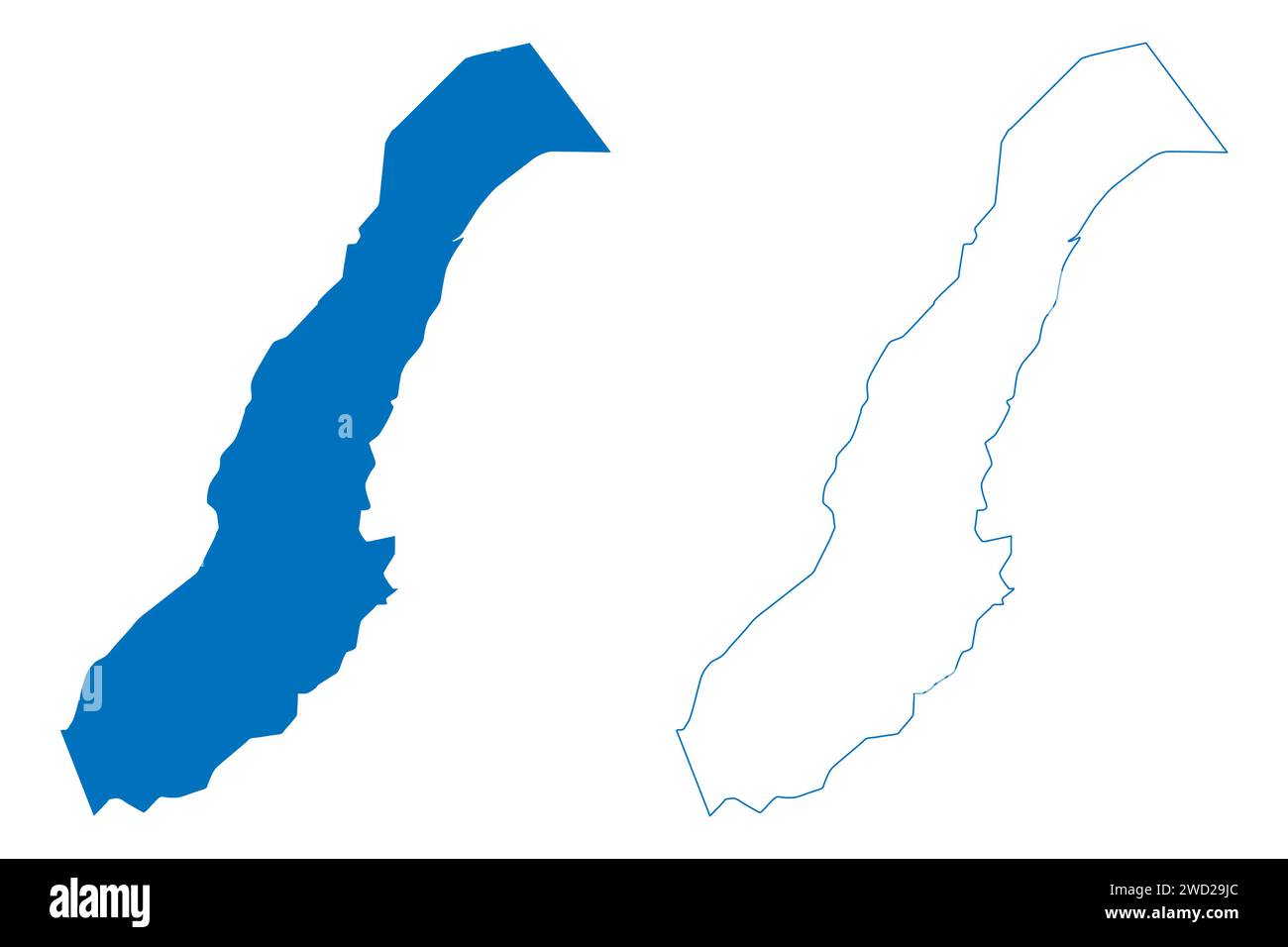 Emilio Lopez Zamora Lake (Mexico, United Mexican States) map vector illustration, scribble sketch Reservoir Emilio López Zamora or Ensenada Dam map Stock Vectorhttps://www.alamy.com/image-license-details/?v=1https://www.alamy.com/emilio-lopez-zamora-lake-mexico-united-mexican-states-map-vector-illustration-scribble-sketch-reservoir-emilio-lpez-zamora-or-ensenada-dam-map-image593194516.html
RF2WD29JC–Emilio Lopez Zamora Lake (Mexico, United Mexican States) map vector illustration, scribble sketch Reservoir Emilio López Zamora or Ensenada Dam map