Zanesville Cut Out Stock Images
 Rendering of a green highway sign for Zanesville Ohio Stock Photohttps://www.alamy.com/image-license-details/?v=1https://www.alamy.com/rendering-of-a-green-highway-sign-for-zanesville-ohio-image271883277.html
RFWP99W1–Rendering of a green highway sign for Zanesville Ohio
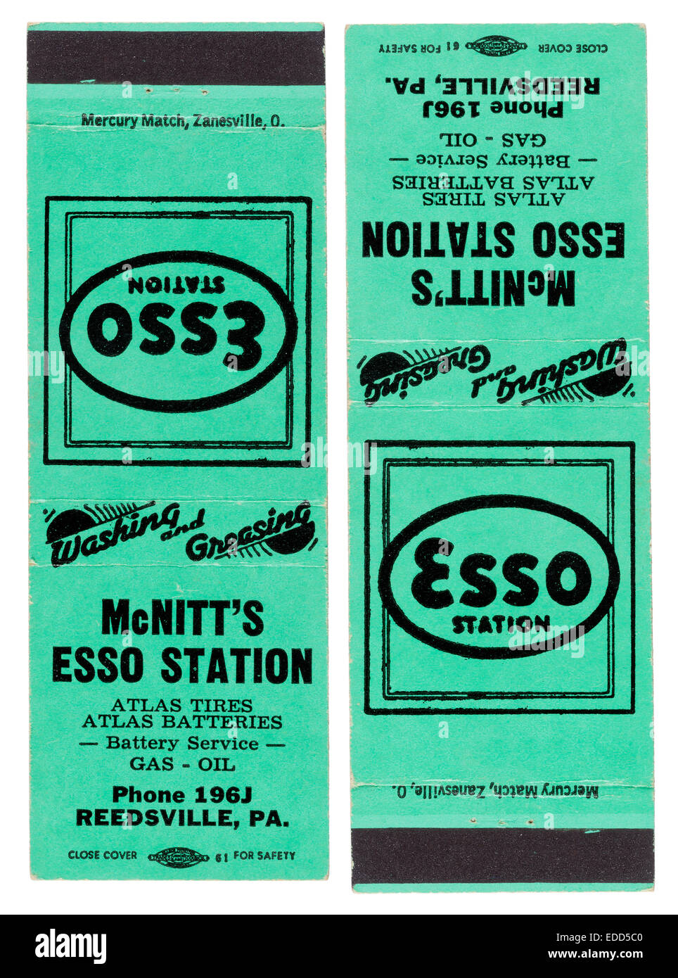 1940s vintage matchbook advertising Stewart McNitt''s Esso gas station in Reedsville, Pennsylvania Stock Photohttps://www.alamy.com/image-license-details/?v=1https://www.alamy.com/stock-photo-1940s-vintage-matchbook-advertising-stewart-mcnitts-esso-gas-station-77121632.html
RMEDD5C0–1940s vintage matchbook advertising Stewart McNitt''s Esso gas station in Reedsville, Pennsylvania
 Zanesville, Muskingum County, US, United States, Ohio, N 39 56' 25'', S 82 0' 47'', map, Cartascapes Map published in 2024. Explore Cartascapes, a map revealing Earth's diverse landscapes, cultures, and ecosystems. Journey through time and space, discovering the interconnectedness of our planet's past, present, and future. Stock Photohttps://www.alamy.com/image-license-details/?v=1https://www.alamy.com/zanesville-muskingum-county-us-united-states-ohio-n-39-56-25-s-82-0-47-map-cartascapes-map-published-in-2024-explore-cartascapes-a-map-revealing-earths-diverse-landscapes-cultures-and-ecosystems-journey-through-time-and-space-discovering-the-interconnectedness-of-our-planets-past-present-and-future-image621282161.html
RM2Y2NRMH–Zanesville, Muskingum County, US, United States, Ohio, N 39 56' 25'', S 82 0' 47'', map, Cartascapes Map published in 2024. Explore Cartascapes, a map revealing Earth's diverse landscapes, cultures, and ecosystems. Journey through time and space, discovering the interconnectedness of our planet's past, present, and future.
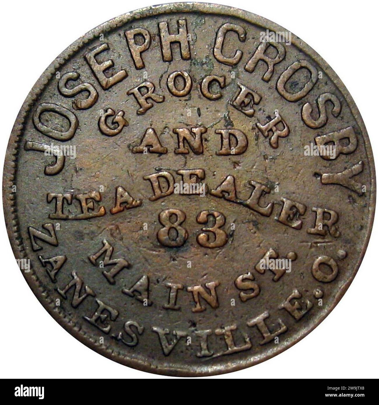 Zanesville Ohio Civil War Token Joseph Crosby Grocer & Tea Dealer (1863) - Stevehayden 01. Stock Photohttps://www.alamy.com/image-license-details/?v=1https://www.alamy.com/zanesville-ohio-civil-war-token-joseph-crosby-grocer-tea-dealer-1863-stevehayden-01-image591099104.html
RM2W9JTX8–Zanesville Ohio Civil War Token Joseph Crosby Grocer & Tea Dealer (1863) - Stevehayden 01.
 HOSE MADE ENTIRELY OF METAL. METALLIC HOSE. CURIOUS BRIDGE AT ZANESVILLE OHIO. What it Costs to Keep Central Park in Condition. THREE-ARIL BRIDGE AT ZANESVILLE OHIO. To Prevent the Freezing of Gas Pipes., scientific american, 1902-06-07 Stock Photohttps://www.alamy.com/image-license-details/?v=1https://www.alamy.com/hose-made-entirely-of-metal-metallic-hose-curious-bridge-at-zanesville-ohio-what-it-costs-to-keep-central-park-in-condition-three-aril-bridge-at-zanesville-ohio-to-prevent-the-freezing-of-gas-pipes-scientific-american-1902-06-07-image334346612.html
RM2ABXPEC–HOSE MADE ENTIRELY OF METAL. METALLIC HOSE. CURIOUS BRIDGE AT ZANESVILLE OHIO. What it Costs to Keep Central Park in Condition. THREE-ARIL BRIDGE AT ZANESVILLE OHIO. To Prevent the Freezing of Gas Pipes., scientific american, 1902-06-07
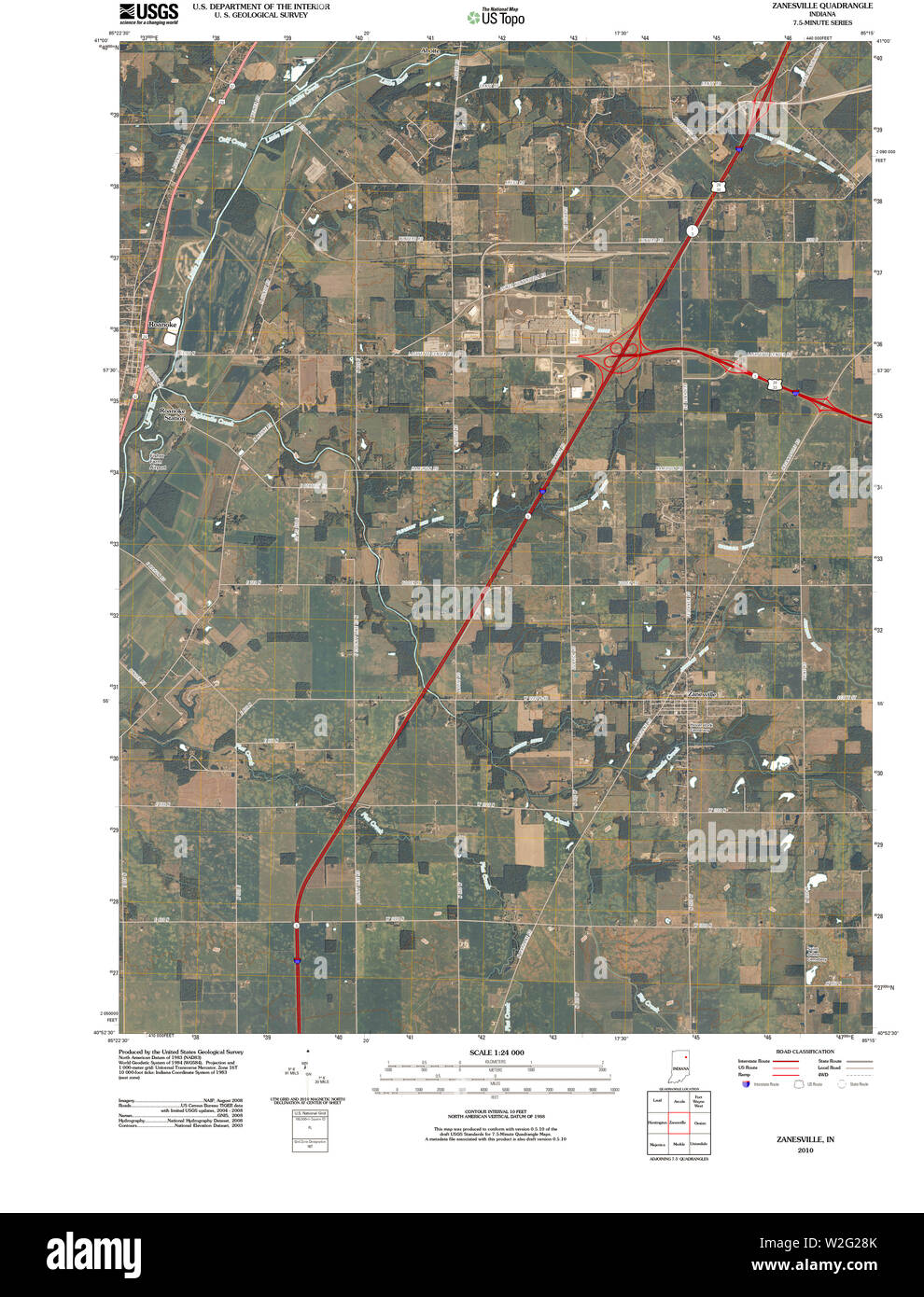 USGS TOPO Map Indiana IN Zanesville 20100610 TM Restoration Stock Photohttps://www.alamy.com/image-license-details/?v=1https://www.alamy.com/usgs-topo-map-indiana-in-zanesville-20100610-tm-restoration-image259737875.html
RMW2G28K–USGS TOPO Map Indiana IN Zanesville 20100610 TM Restoration
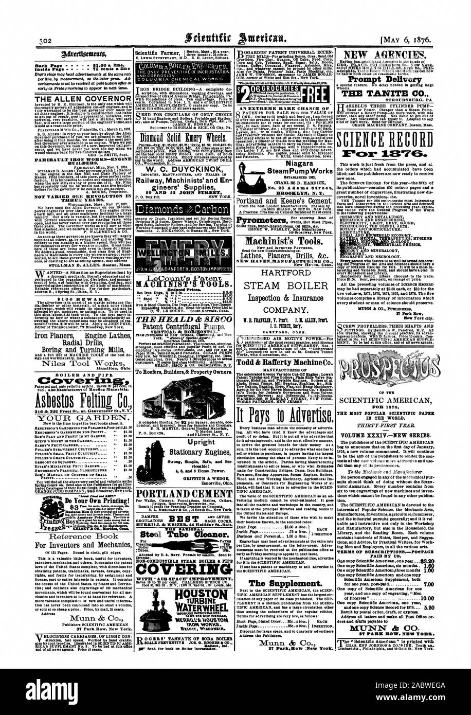 Price VA. Bent post-paid on receipt ot price. may be had separately at $2.50 each or $10 for the bye volumes 1872 1873 18741875 and 1878. The five volumes comprise a library of information which every student or man of science should preserve. 87 Park Row New Tort city. Upright viceable! GRIFFITH & WEDGE Zanesville Ohio., scientific american, 1876-05-06 Stock Photohttps://www.alamy.com/image-license-details/?v=1https://www.alamy.com/price-va-bent-post-paid-on-receipt-ot-price-may-be-had-separately-at-250-each-or-10-for-the-bye-volumes-1872-1873-18741875-and-1878-the-five-volumes-comprise-a-library-of-information-which-every-student-or-man-of-science-should-preserve-87-park-row-new-tort-city-upright-viceable!-griffith-wedge-zanesville-ohio-scientific-american-1876-05-06-image334318442.html
RM2ABWEGA–Price VA. Bent post-paid on receipt ot price. may be had separately at $2.50 each or $10 for the bye volumes 1872 1873 18741875 and 1878. The five volumes comprise a library of information which every student or man of science should preserve. 87 Park Row New Tort city. Upright viceable! GRIFFITH & WEDGE Zanesville Ohio., scientific american, 1876-05-06
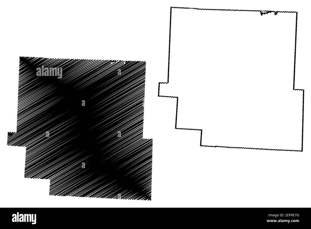 Muskingum County, Ohio State (U.S. county, United States of America, USA, U.S., US) map vector illustration, scribble sketch Muskingum map Stock Vectorhttps://www.alamy.com/image-license-details/?v=1https://www.alamy.com/muskingum-county-ohio-state-us-county-united-states-of-america-usa-us-us-map-vector-illustration-scribble-sketch-muskingum-map-image409942836.html
RF2EPXE7G–Muskingum County, Ohio State (U.S. county, United States of America, USA, U.S., US) map vector illustration, scribble sketch Muskingum map
 West Zanesville, Muskingum County, US, United States, Ohio, N 39 56' 45'', S 82 1' 4'', map, Cartascapes Map published in 2024. Explore Cartascapes, a map revealing Earth's diverse landscapes, cultures, and ecosystems. Journey through time and space, discovering the interconnectedness of our planet's past, present, and future. Stock Photohttps://www.alamy.com/image-license-details/?v=1https://www.alamy.com/west-zanesville-muskingum-county-us-united-states-ohio-n-39-56-45-s-82-1-4-map-cartascapes-map-published-in-2024-explore-cartascapes-a-map-revealing-earths-diverse-landscapes-cultures-and-ecosystems-journey-through-time-and-space-discovering-the-interconnectedness-of-our-planets-past-present-and-future-image621412448.html
RM2Y2YNWM–West Zanesville, Muskingum County, US, United States, Ohio, N 39 56' 45'', S 82 1' 4'', map, Cartascapes Map published in 2024. Explore Cartascapes, a map revealing Earth's diverse landscapes, cultures, and ecosystems. Journey through time and space, discovering the interconnectedness of our planet's past, present, and future.
 Zanesville Ohio Civil War Token Joseph Crosby Grocer & Tea Dealer (1863) - Stevehayden 02. Stock Photohttps://www.alamy.com/image-license-details/?v=1https://www.alamy.com/zanesville-ohio-civil-war-token-joseph-crosby-grocer-tea-dealer-1863-stevehayden-02-image591099148.html
RM2W9JTYT–Zanesville Ohio Civil War Token Joseph Crosby Grocer & Tea Dealer (1863) - Stevehayden 02.
 USGS TOPO Map Ohio OH Zanesville West 20100722 TM Restoration Stock Photohttps://www.alamy.com/image-license-details/?v=1https://www.alamy.com/usgs-topo-map-ohio-oh-zanesville-west-20100722-tm-restoration-image337077860.html
RM2AGB670–USGS TOPO Map Ohio OH Zanesville West 20100722 TM Restoration
 Muskingum County, Ohio State (U.S. county, United States of America, USA, U.S., US) map vector illustration, scribble sketch Muskingum map Stock Vectorhttps://www.alamy.com/image-license-details/?v=1https://www.alamy.com/muskingum-county-ohio-state-us-county-united-states-of-america-usa-us-us-map-vector-illustration-scribble-sketch-muskingum-map-image386131027.html
RF2DC5P1R–Muskingum County, Ohio State (U.S. county, United States of America, USA, U.S., US) map vector illustration, scribble sketch Muskingum map
 South Zanesville, Muskingum County, US, United States, Ohio, N 39 53' 57'', S 82 0' 22'', map, Cartascapes Map published in 2024. Explore Cartascapes, a map revealing Earth's diverse landscapes, cultures, and ecosystems. Journey through time and space, discovering the interconnectedness of our planet's past, present, and future. Stock Photohttps://www.alamy.com/image-license-details/?v=1https://www.alamy.com/south-zanesville-muskingum-county-us-united-states-ohio-n-39-53-57-s-82-0-22-map-cartascapes-map-published-in-2024-explore-cartascapes-a-map-revealing-earths-diverse-landscapes-cultures-and-ecosystems-journey-through-time-and-space-discovering-the-interconnectedness-of-our-planets-past-present-and-future-image621227436.html
RM2Y2K9X4–South Zanesville, Muskingum County, US, United States, Ohio, N 39 53' 57'', S 82 0' 22'', map, Cartascapes Map published in 2024. Explore Cartascapes, a map revealing Earth's diverse landscapes, cultures, and ecosystems. Journey through time and space, discovering the interconnectedness of our planet's past, present, and future.
 USGS TOPO Map Ohio OH Zanesville East 20100803 TM Restoration Stock Photohttps://www.alamy.com/image-license-details/?v=1https://www.alamy.com/usgs-topo-map-ohio-oh-zanesville-east-20100803-tm-restoration-image337077372.html
RM2AGB5HG–USGS TOPO Map Ohio OH Zanesville East 20100803 TM Restoration
 Muskingum County, Ohio State (U.S. county, United States of America, USA, U.S., US) map vector illustration, scribble sketch Muskingum map Stock Vectorhttps://www.alamy.com/image-license-details/?v=1https://www.alamy.com/muskingum-county-ohio-state-us-county-united-states-of-america-usa-us-us-map-vector-illustration-scribble-sketch-muskingum-map-image425214622.html
RF2FKP5GE–Muskingum County, Ohio State (U.S. county, United States of America, USA, U.S., US) map vector illustration, scribble sketch Muskingum map
 South Zanesville, Muskingum County, US, United States, Ohio, N 39 53' 57'', S 82 0' 22'', map, Cartascapes Map published in 2024. Explore Cartascapes, a map revealing Earth's diverse landscapes, cultures, and ecosystems. Journey through time and space, discovering the interconnectedness of our planet's past, present, and future. Stock Photohttps://www.alamy.com/image-license-details/?v=1https://www.alamy.com/south-zanesville-muskingum-county-us-united-states-ohio-n-39-53-57-s-82-0-22-map-cartascapes-map-published-in-2024-explore-cartascapes-a-map-revealing-earths-diverse-landscapes-cultures-and-ecosystems-journey-through-time-and-space-discovering-the-interconnectedness-of-our-planets-past-present-and-future-image621250390.html
RM2Y2MB5X–South Zanesville, Muskingum County, US, United States, Ohio, N 39 53' 57'', S 82 0' 22'', map, Cartascapes Map published in 2024. Explore Cartascapes, a map revealing Earth's diverse landscapes, cultures, and ecosystems. Journey through time and space, discovering the interconnectedness of our planet's past, present, and future.
 USGS TOPO Map Indiana IN Zanesville 160485 1972 24000 Restoration Stock Photohttps://www.alamy.com/image-license-details/?v=1https://www.alamy.com/usgs-topo-map-indiana-in-zanesville-160485-1972-24000-restoration-image259737707.html
RMW2G22K–USGS TOPO Map Indiana IN Zanesville 160485 1972 24000 Restoration
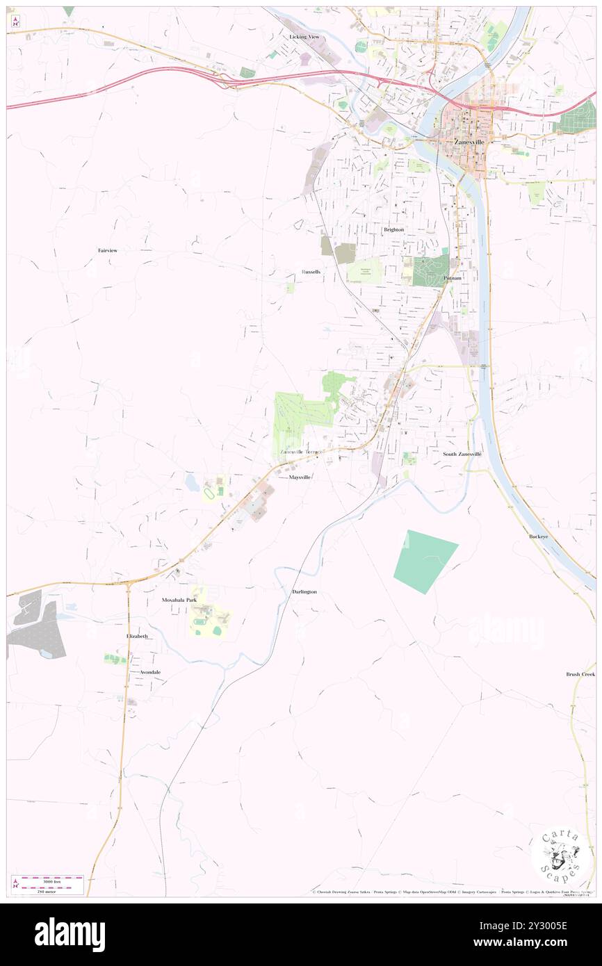 Zanesville Terrace, Muskingum County, US, United States, Ohio, N 39 53' 58'', S 82 2' 1'', map, Cartascapes Map published in 2024. Explore Cartascapes, a map revealing Earth's diverse landscapes, cultures, and ecosystems. Journey through time and space, discovering the interconnectedness of our planet's past, present, and future. Stock Photohttps://www.alamy.com/image-license-details/?v=1https://www.alamy.com/zanesville-terrace-muskingum-county-us-united-states-ohio-n-39-53-58-s-82-2-1-map-cartascapes-map-published-in-2024-explore-cartascapes-a-map-revealing-earths-diverse-landscapes-cultures-and-ecosystems-journey-through-time-and-space-discovering-the-interconnectedness-of-our-planets-past-present-and-future-image621417370.html
RM2Y3005E–Zanesville Terrace, Muskingum County, US, United States, Ohio, N 39 53' 58'', S 82 2' 1'', map, Cartascapes Map published in 2024. Explore Cartascapes, a map revealing Earth's diverse landscapes, cultures, and ecosystems. Journey through time and space, discovering the interconnectedness of our planet's past, present, and future.
 USGS TOPO Map Ohio OH Zanesville East 228348 1961 24000 Restoration Stock Photohttps://www.alamy.com/image-license-details/?v=1https://www.alamy.com/usgs-topo-map-ohio-oh-zanesville-east-228348-1961-24000-restoration-image337077872.html
RM2AGB67C–USGS TOPO Map Ohio OH Zanesville East 228348 1961 24000 Restoration
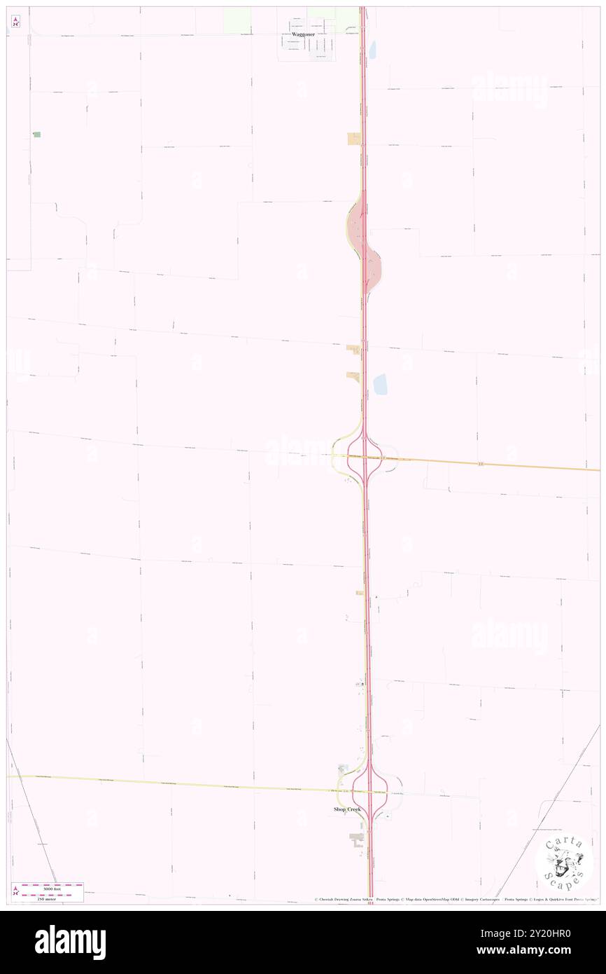 Zanesville, Montgomery County, US, United States, Illinois, N 39 19' 20'', S 89 39' 11'', map, Cartascapes Map published in 2024. Explore Cartascapes, a map revealing Earth's diverse landscapes, cultures, and ecosystems. Journey through time and space, discovering the interconnectedness of our planet's past, present, and future. Stock Photohttps://www.alamy.com/image-license-details/?v=1https://www.alamy.com/zanesville-montgomery-county-us-united-states-illinois-n-39-19-20-s-89-39-11-map-cartascapes-map-published-in-2024-explore-cartascapes-a-map-revealing-earths-diverse-landscapes-cultures-and-ecosystems-journey-through-time-and-space-discovering-the-interconnectedness-of-our-planets-past-present-and-future-image620816532.html
RM2Y20HR0–Zanesville, Montgomery County, US, United States, Illinois, N 39 19' 20'', S 89 39' 11'', map, Cartascapes Map published in 2024. Explore Cartascapes, a map revealing Earth's diverse landscapes, cultures, and ecosystems. Journey through time and space, discovering the interconnectedness of our planet's past, present, and future.
 USGS TOPO Map Ohio OH Zanesville West 226486 1961 24000 Restoration Stock Photohttps://www.alamy.com/image-license-details/?v=1https://www.alamy.com/usgs-topo-map-ohio-oh-zanesville-west-226486-1961-24000-restoration-image337078052.html
RM2AGB6DT–USGS TOPO Map Ohio OH Zanesville West 226486 1961 24000 Restoration
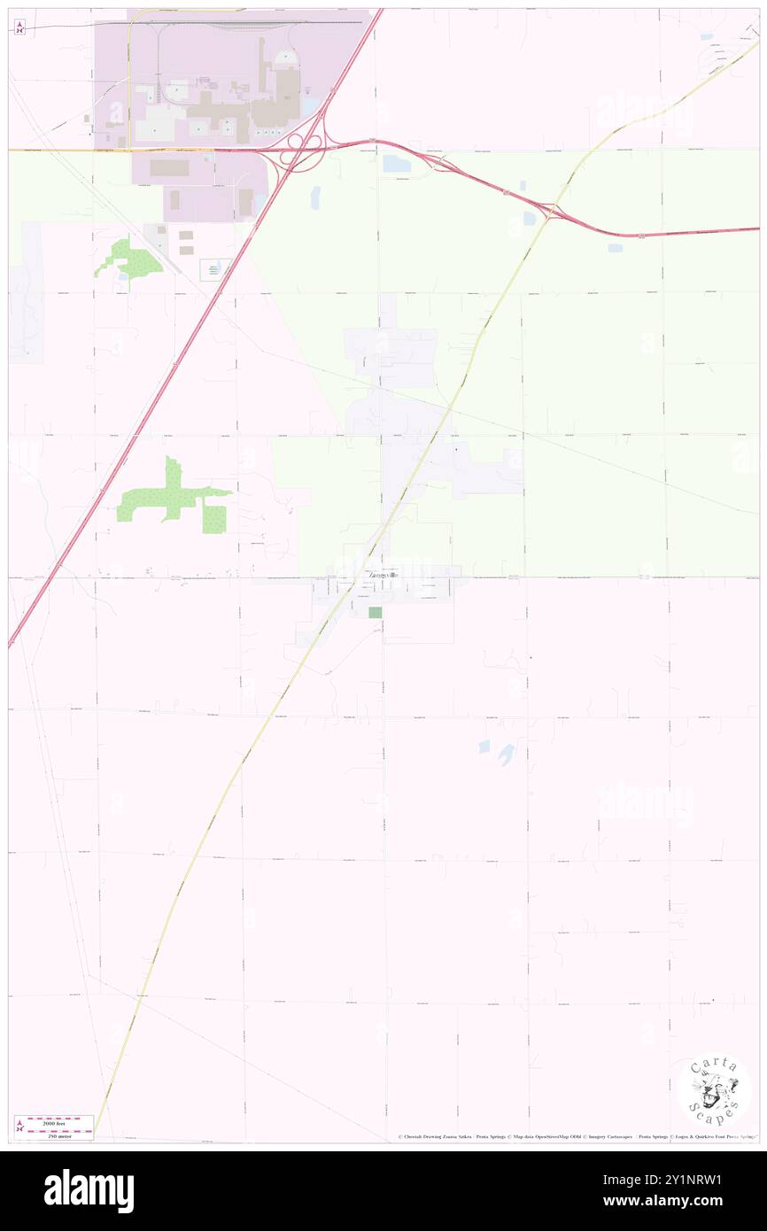 Zanesville, Allen County, US, United States, Indiana, N 40 55' 2'', S 85 16' 49'', map, Cartascapes Map published in 2024. Explore Cartascapes, a map revealing Earth's diverse landscapes, cultures, and ecosystems. Journey through time and space, discovering the interconnectedness of our planet's past, present, and future. Stock Photohttps://www.alamy.com/image-license-details/?v=1https://www.alamy.com/zanesville-allen-county-us-united-states-indiana-n-40-55-2-s-85-16-49-map-cartascapes-map-published-in-2024-explore-cartascapes-a-map-revealing-earths-diverse-landscapes-cultures-and-ecosystems-journey-through-time-and-space-discovering-the-interconnectedness-of-our-planets-past-present-and-future-image620667629.html
RM2Y1NRW1–Zanesville, Allen County, US, United States, Indiana, N 40 55' 2'', S 85 16' 49'', map, Cartascapes Map published in 2024. Explore Cartascapes, a map revealing Earth's diverse landscapes, cultures, and ecosystems. Journey through time and space, discovering the interconnectedness of our planet's past, present, and future.
 USGS TOPO Map Ohio OH Zanesville East 226484 1961 24000 Restoration Stock Photohttps://www.alamy.com/image-license-details/?v=1https://www.alamy.com/usgs-topo-map-ohio-oh-zanesville-east-226484-1961-24000-restoration-image337077654.html
RM2AGB5YJ–USGS TOPO Map Ohio OH Zanesville East 226484 1961 24000 Restoration
 Zanesville, Allen County, US, United States, Indiana, N 40 55' 2'', S 85 16' 49'', map, Cartascapes Map published in 2024. Explore Cartascapes, a map revealing Earth's diverse landscapes, cultures, and ecosystems. Journey through time and space, discovering the interconnectedness of our planet's past, present, and future. Stock Photohttps://www.alamy.com/image-license-details/?v=1https://www.alamy.com/zanesville-allen-county-us-united-states-indiana-n-40-55-2-s-85-16-49-map-cartascapes-map-published-in-2024-explore-cartascapes-a-map-revealing-earths-diverse-landscapes-cultures-and-ecosystems-journey-through-time-and-space-discovering-the-interconnectedness-of-our-planets-past-present-and-future-image620832878.html
RM2Y21AJP–Zanesville, Allen County, US, United States, Indiana, N 40 55' 2'', S 85 16' 49'', map, Cartascapes Map published in 2024. Explore Cartascapes, a map revealing Earth's diverse landscapes, cultures, and ecosystems. Journey through time and space, discovering the interconnectedness of our planet's past, present, and future.
 USGS TOPO Map Ohio OH Zanesville East 226483 1961 24000 Restoration Stock Photohttps://www.alamy.com/image-license-details/?v=1https://www.alamy.com/usgs-topo-map-ohio-oh-zanesville-east-226483-1961-24000-restoration-image337077510.html
RM2AGB5PE–USGS TOPO Map Ohio OH Zanesville East 226483 1961 24000 Restoration
 Zanesville, Muskingum County, US, United States, Ohio, N 39 56' 25'', S 82 0' 47'', map, Cartascapes Map published in 2024. Explore Cartascapes, a map revealing Earth's diverse landscapes, cultures, and ecosystems. Journey through time and space, discovering the interconnectedness of our planet's past, present, and future. Stock Photohttps://www.alamy.com/image-license-details/?v=1https://www.alamy.com/zanesville-muskingum-county-us-united-states-ohio-n-39-56-25-s-82-0-47-map-cartascapes-map-published-in-2024-explore-cartascapes-a-map-revealing-earths-diverse-landscapes-cultures-and-ecosystems-journey-through-time-and-space-discovering-the-interconnectedness-of-our-planets-past-present-and-future-image620794475.html
RM2Y1YHK7–Zanesville, Muskingum County, US, United States, Ohio, N 39 56' 25'', S 82 0' 47'', map, Cartascapes Map published in 2024. Explore Cartascapes, a map revealing Earth's diverse landscapes, cultures, and ecosystems. Journey through time and space, discovering the interconnectedness of our planet's past, present, and future.
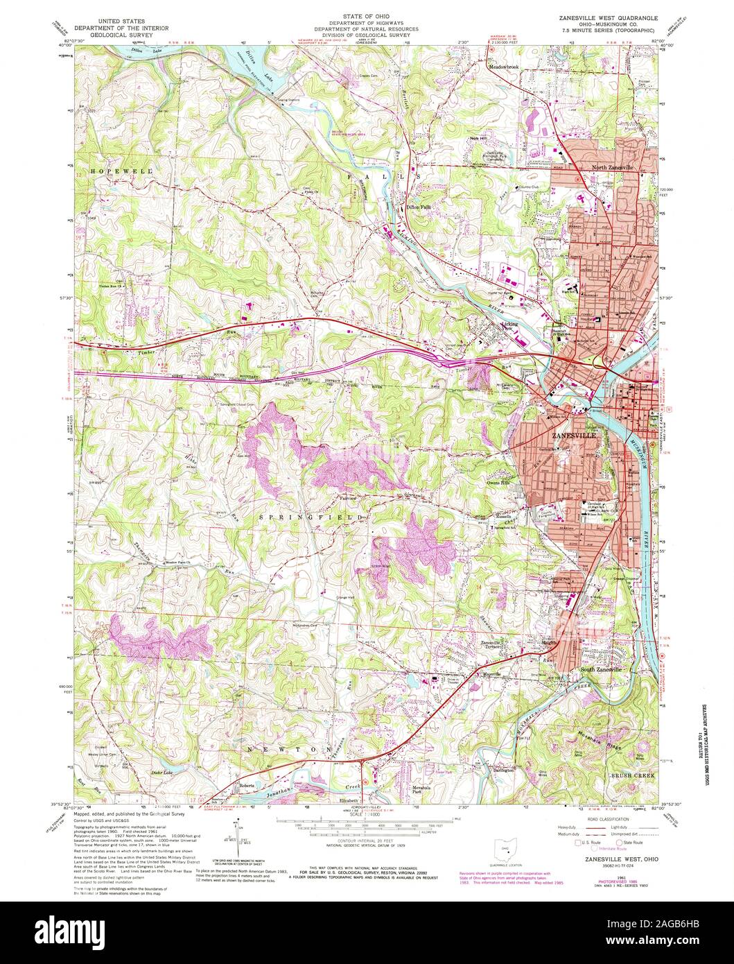 USGS TOPO Map Ohio OH Zanesville West 228351 1961 24000 Restoration Stock Photohttps://www.alamy.com/image-license-details/?v=1https://www.alamy.com/usgs-topo-map-ohio-oh-zanesville-west-228351-1961-24000-restoration-image337078151.html
RM2AGB6HB–USGS TOPO Map Ohio OH Zanesville West 228351 1961 24000 Restoration
 City of Zanesville, Muskingum County, US, United States, Ohio, N 39 57' 24'', S 82 0' 48'', map, Cartascapes Map published in 2024. Explore Cartascapes, a map revealing Earth's diverse landscapes, cultures, and ecosystems. Journey through time and space, discovering the interconnectedness of our planet's past, present, and future. Stock Photohttps://www.alamy.com/image-license-details/?v=1https://www.alamy.com/city-of-zanesville-muskingum-county-us-united-states-ohio-n-39-57-24-s-82-0-48-map-cartascapes-map-published-in-2024-explore-cartascapes-a-map-revealing-earths-diverse-landscapes-cultures-and-ecosystems-journey-through-time-and-space-discovering-the-interconnectedness-of-our-planets-past-present-and-future-image633815148.html
RM2YR4NK8–City of Zanesville, Muskingum County, US, United States, Ohio, N 39 57' 24'', S 82 0' 48'', map, Cartascapes Map published in 2024. Explore Cartascapes, a map revealing Earth's diverse landscapes, cultures, and ecosystems. Journey through time and space, discovering the interconnectedness of our planet's past, present, and future.
 USGS TOPO Map Ohio OH Zanesville West 226487 1961 24000 Restoration Stock Photohttps://www.alamy.com/image-license-details/?v=1https://www.alamy.com/usgs-topo-map-ohio-oh-zanesville-west-226487-1961-24000-restoration-image337077984.html
RM2AGB6BC–USGS TOPO Map Ohio OH Zanesville West 226487 1961 24000 Restoration
 North Zanesville, Muskingum County, US, United States, Ohio, N 39 58' 43'', S 82 0' 12'', map, Cartascapes Map published in 2024. Explore Cartascapes, a map revealing Earth's diverse landscapes, cultures, and ecosystems. Journey through time and space, discovering the interconnectedness of our planet's past, present, and future. Stock Photohttps://www.alamy.com/image-license-details/?v=1https://www.alamy.com/north-zanesville-muskingum-county-us-united-states-ohio-n-39-58-43-s-82-0-12-map-cartascapes-map-published-in-2024-explore-cartascapes-a-map-revealing-earths-diverse-landscapes-cultures-and-ecosystems-journey-through-time-and-space-discovering-the-interconnectedness-of-our-planets-past-present-and-future-image620859824.html
RM2Y22H14–North Zanesville, Muskingum County, US, United States, Ohio, N 39 58' 43'', S 82 0' 12'', map, Cartascapes Map published in 2024. Explore Cartascapes, a map revealing Earth's diverse landscapes, cultures, and ecosystems. Journey through time and space, discovering the interconnectedness of our planet's past, present, and future.
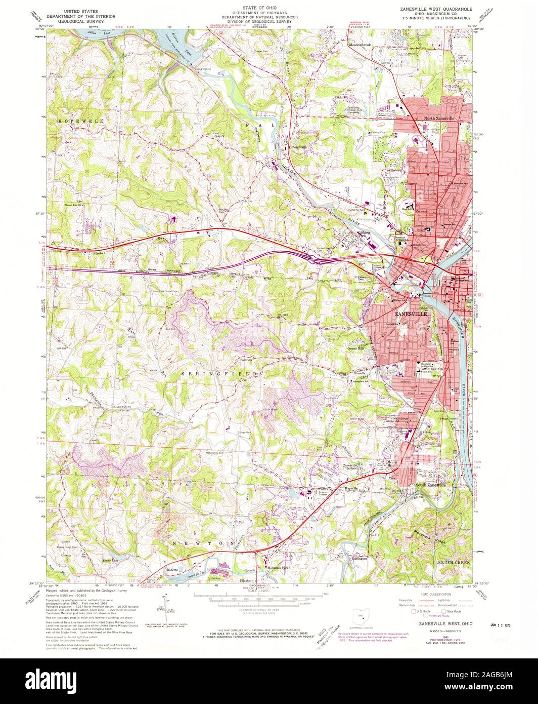 USGS TOPO Map Ohio OH Zanesville West 226488 1961 24000 Restoration Stock Photohttps://www.alamy.com/image-license-details/?v=1https://www.alamy.com/usgs-topo-map-ohio-oh-zanesville-west-226488-1961-24000-restoration-image337078188.html
RM2AGB6JM–USGS TOPO Map Ohio OH Zanesville West 226488 1961 24000 Restoration
 Town of Zanesville, Wells County, US, United States, Indiana, N 40 54' 55'', S 85 16' 50'', map, Cartascapes Map published in 2024. Explore Cartascapes, a map revealing Earth's diverse landscapes, cultures, and ecosystems. Journey through time and space, discovering the interconnectedness of our planet's past, present, and future. Stock Photohttps://www.alamy.com/image-license-details/?v=1https://www.alamy.com/town-of-zanesville-wells-county-us-united-states-indiana-n-40-54-55-s-85-16-50-map-cartascapes-map-published-in-2024-explore-cartascapes-a-map-revealing-earths-diverse-landscapes-cultures-and-ecosystems-journey-through-time-and-space-discovering-the-interconnectedness-of-our-planets-past-present-and-future-image633786224.html
RM2YR3CP8–Town of Zanesville, Wells County, US, United States, Indiana, N 40 54' 55'', S 85 16' 50'', map, Cartascapes Map published in 2024. Explore Cartascapes, a map revealing Earth's diverse landscapes, cultures, and ecosystems. Journey through time and space, discovering the interconnectedness of our planet's past, present, and future.
 USGS TOPO Map Ohio OH Zanesville East 228350 1994 24000 Restoration Stock Photohttps://www.alamy.com/image-license-details/?v=1https://www.alamy.com/usgs-topo-map-ohio-oh-zanesville-east-228350-1994-24000-restoration-image337077861.html
RM2AGB671–USGS TOPO Map Ohio OH Zanesville East 228350 1994 24000 Restoration
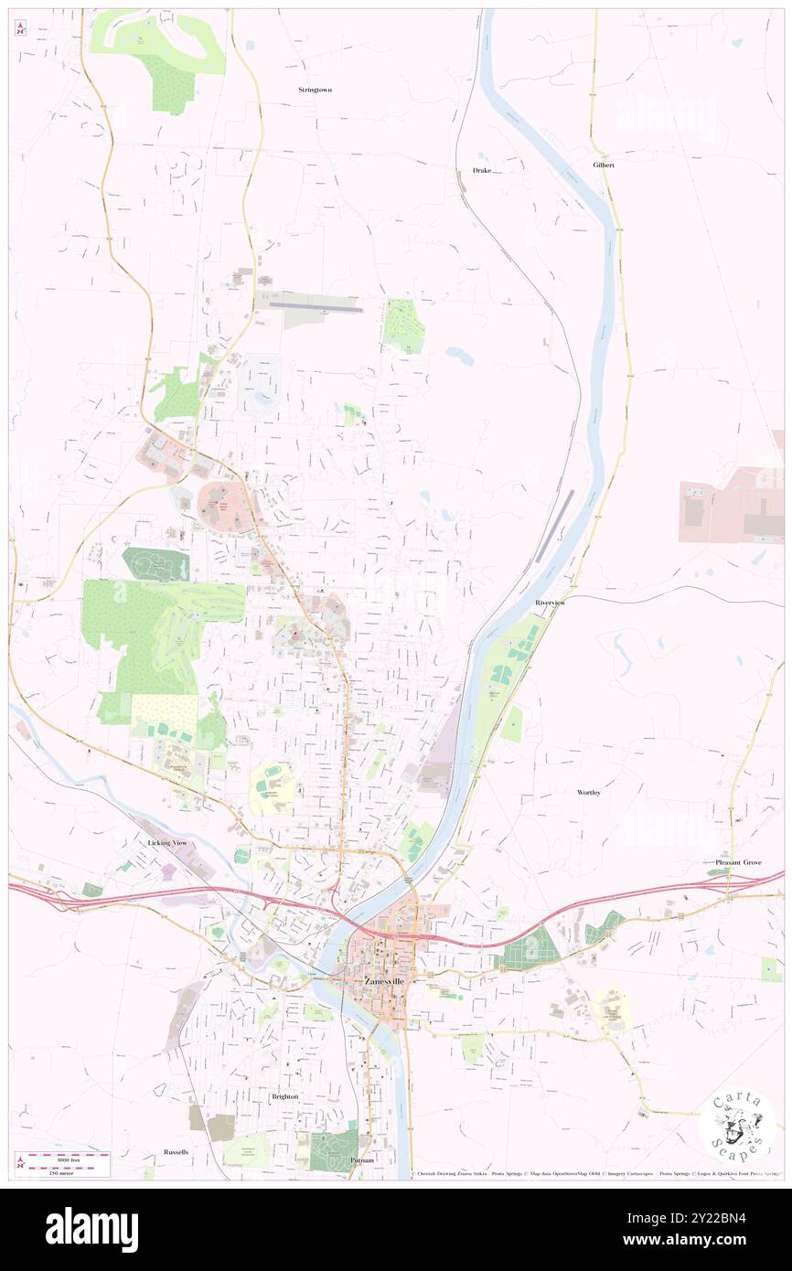 North Zanesville, Muskingum County, US, United States, Ohio, N 39 58' 43'', S 82 0' 12'', map, Cartascapes Map published in 2024. Explore Cartascapes, a map revealing Earth's diverse landscapes, cultures, and ecosystems. Journey through time and space, discovering the interconnectedness of our planet's past, present, and future. Stock Photohttps://www.alamy.com/image-license-details/?v=1https://www.alamy.com/north-zanesville-muskingum-county-us-united-states-ohio-n-39-58-43-s-82-0-12-map-cartascapes-map-published-in-2024-explore-cartascapes-a-map-revealing-earths-diverse-landscapes-cultures-and-ecosystems-journey-through-time-and-space-discovering-the-interconnectedness-of-our-planets-past-present-and-future-image620855680.html
RM2Y22BN4–North Zanesville, Muskingum County, US, United States, Ohio, N 39 58' 43'', S 82 0' 12'', map, Cartascapes Map published in 2024. Explore Cartascapes, a map revealing Earth's diverse landscapes, cultures, and ecosystems. Journey through time and space, discovering the interconnectedness of our planet's past, present, and future.
 USGS TOPO Map Ohio OH Zanesville East 226481 1961 24000 Restoration Stock Photohttps://www.alamy.com/image-license-details/?v=1https://www.alamy.com/usgs-topo-map-ohio-oh-zanesville-east-226481-1961-24000-restoration-image337077376.html
RM2AGB5HM–USGS TOPO Map Ohio OH Zanesville East 226481 1961 24000 Restoration
 Village of South Zanesville, Muskingum County, US, United States, Ohio, N 39 54' 13'', S 82 1' 4'', map, Cartascapes Map published in 2024. Explore Cartascapes, a map revealing Earth's diverse landscapes, cultures, and ecosystems. Journey through time and space, discovering the interconnectedness of our planet's past, present, and future. Stock Photohttps://www.alamy.com/image-license-details/?v=1https://www.alamy.com/village-of-south-zanesville-muskingum-county-us-united-states-ohio-n-39-54-13-s-82-1-4-map-cartascapes-map-published-in-2024-explore-cartascapes-a-map-revealing-earths-diverse-landscapes-cultures-and-ecosystems-journey-through-time-and-space-discovering-the-interconnectedness-of-our-planets-past-present-and-future-image633814042.html
RM2YR4M7P–Village of South Zanesville, Muskingum County, US, United States, Ohio, N 39 54' 13'', S 82 1' 4'', map, Cartascapes Map published in 2024. Explore Cartascapes, a map revealing Earth's diverse landscapes, cultures, and ecosystems. Journey through time and space, discovering the interconnectedness of our planet's past, present, and future.
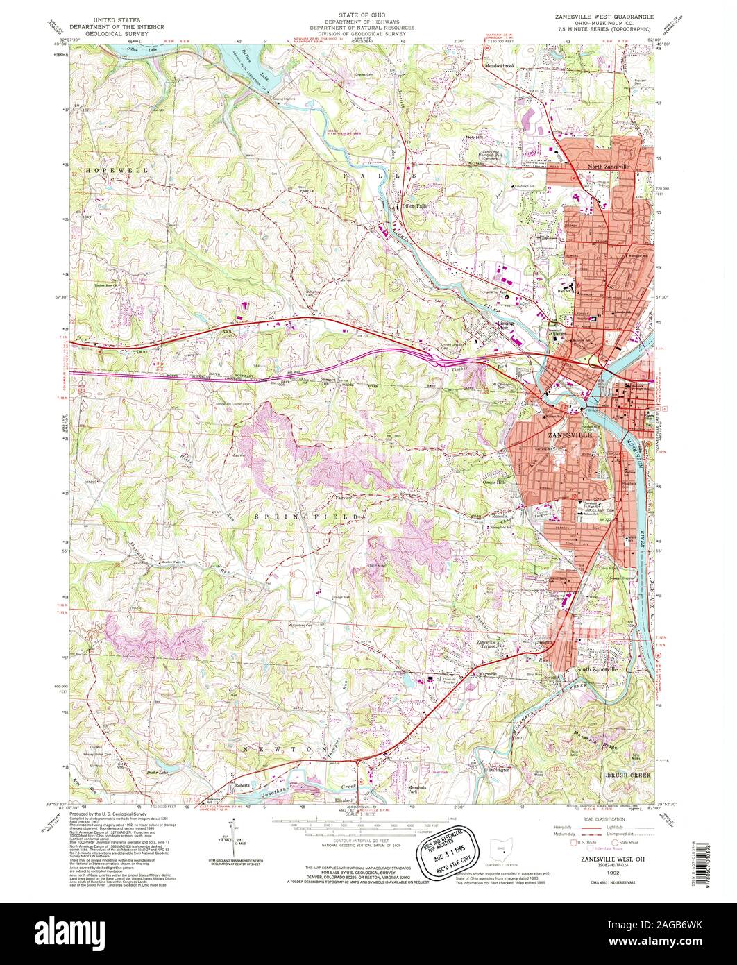 USGS TOPO Map Ohio OH Zanesville West 228352 1992 24000 Restoration Stock Photohttps://www.alamy.com/image-license-details/?v=1https://www.alamy.com/usgs-topo-map-ohio-oh-zanesville-west-228352-1992-24000-restoration-image337078383.html
RM2AGB6WK–USGS TOPO Map Ohio OH Zanesville West 228352 1992 24000 Restoration
 Township of Zanesville, Montgomery County, US, United States, Illinois, N 39 18' 21'', S 89 38' 37'', map, Cartascapes Map published in 2024. Explore Cartascapes, a map revealing Earth's diverse landscapes, cultures, and ecosystems. Journey through time and space, discovering the interconnectedness of our planet's past, present, and future. Stock Photohttps://www.alamy.com/image-license-details/?v=1https://www.alamy.com/township-of-zanesville-montgomery-county-us-united-states-illinois-n-39-18-21-s-89-38-37-map-cartascapes-map-published-in-2024-explore-cartascapes-a-map-revealing-earths-diverse-landscapes-cultures-and-ecosystems-journey-through-time-and-space-discovering-the-interconnectedness-of-our-planets-past-present-and-future-image633816309.html
RM2YR4R4N–Township of Zanesville, Montgomery County, US, United States, Illinois, N 39 18' 21'', S 89 38' 37'', map, Cartascapes Map published in 2024. Explore Cartascapes, a map revealing Earth's diverse landscapes, cultures, and ecosystems. Journey through time and space, discovering the interconnectedness of our planet's past, present, and future.
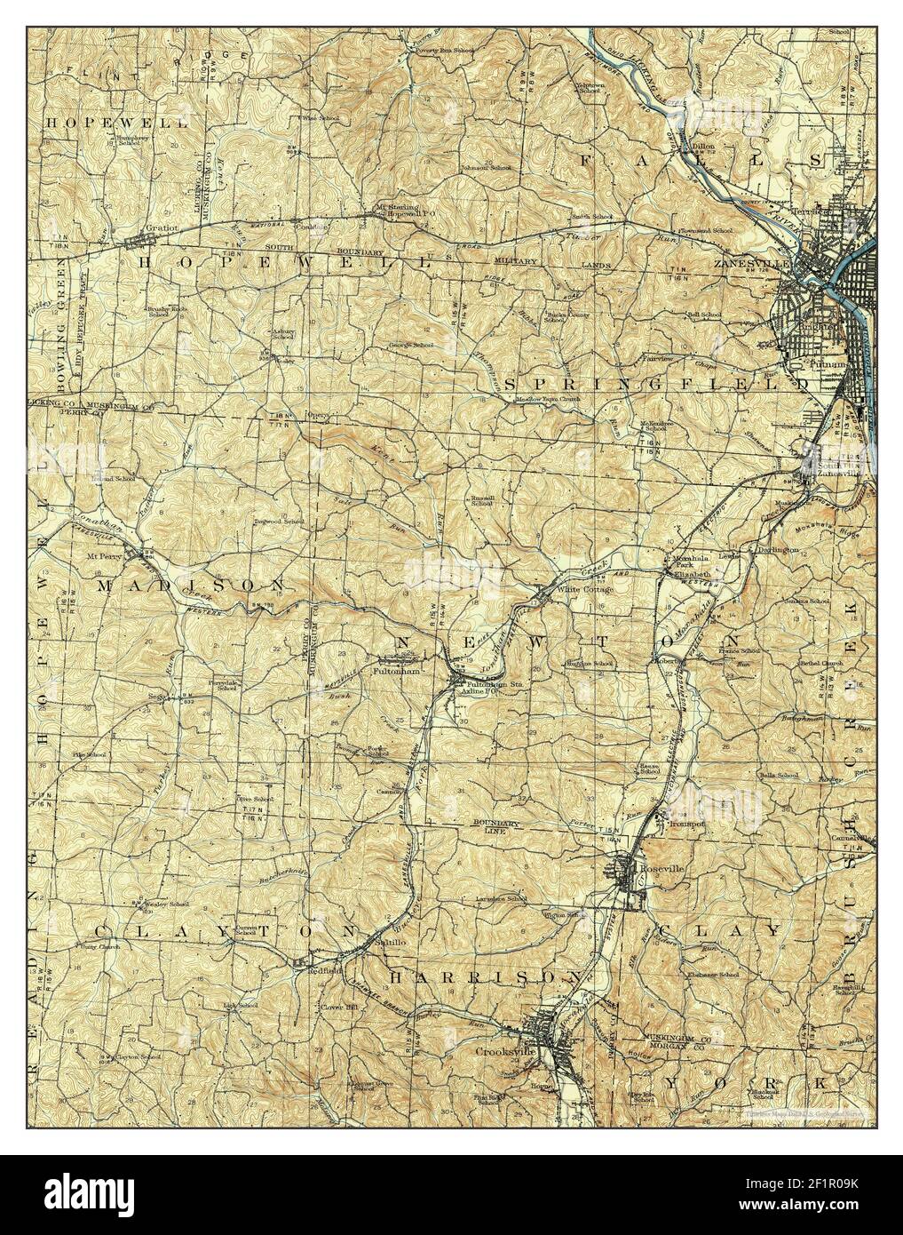 Zanesville, Ohio, map 1910, 1:62500, United States of America by Timeless Maps, data U.S. Geological Survey Stock Photohttps://www.alamy.com/image-license-details/?v=1https://www.alamy.com/zanesville-ohio-map-1910-162500-united-states-of-america-by-timeless-maps-data-us-geological-survey-image414168655.html
RM2F1R09K–Zanesville, Ohio, map 1910, 1:62500, United States of America by Timeless Maps, data U.S. Geological Survey
 Zanesville, Indiana, map 1961, 1:24000, United States of America by Timeless Maps, data U.S. Geological Survey Stock Photohttps://www.alamy.com/image-license-details/?v=1https://www.alamy.com/zanesville-indiana-map-1961-124000-united-states-of-america-by-timeless-maps-data-us-geological-survey-image406473555.html
RM2EH8D4K–Zanesville, Indiana, map 1961, 1:24000, United States of America by Timeless Maps, data U.S. Geological Survey
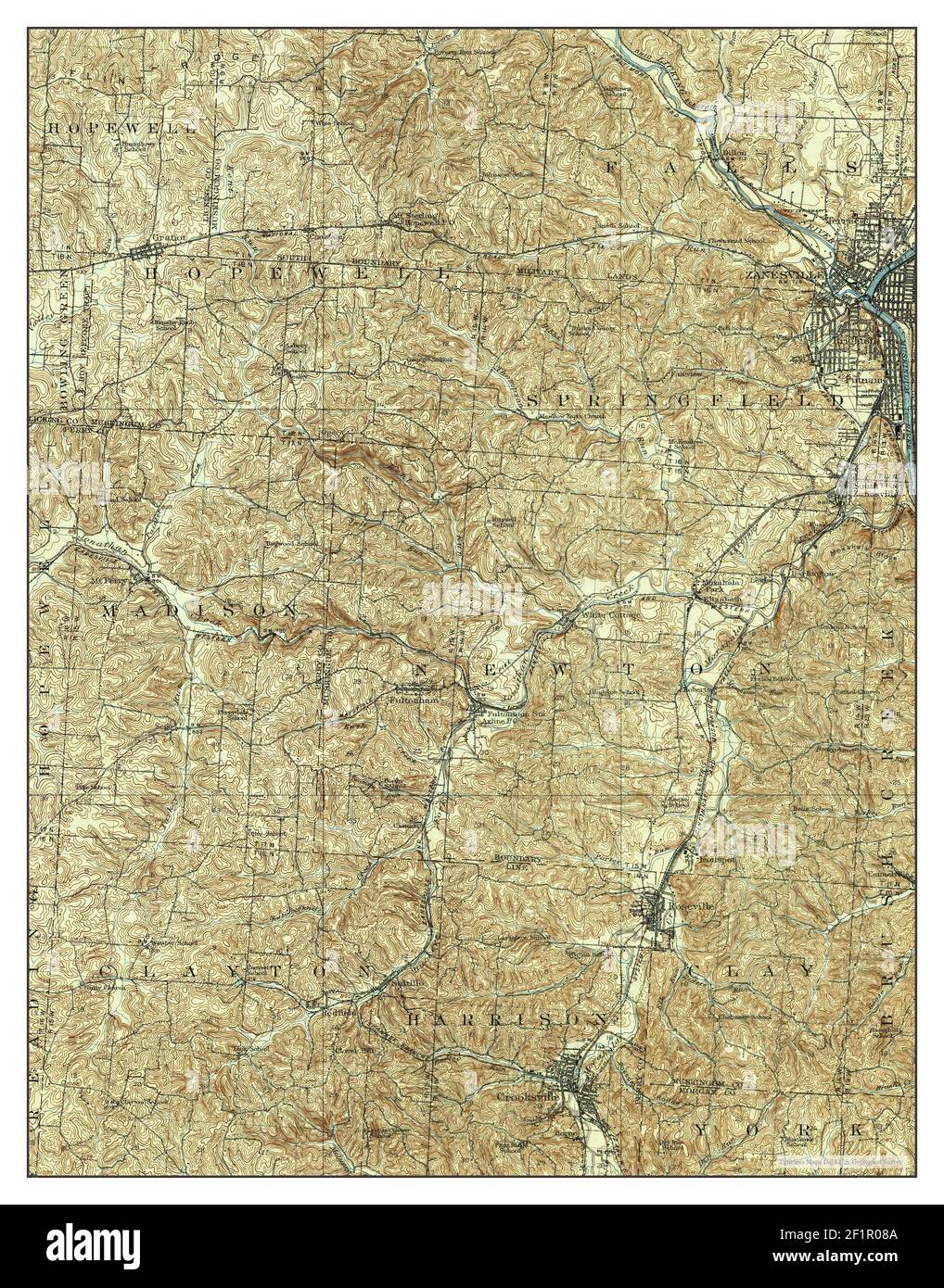 Zanesville, Ohio, map 1910, 1:62500, United States of America by Timeless Maps, data U.S. Geological Survey Stock Photohttps://www.alamy.com/image-license-details/?v=1https://www.alamy.com/zanesville-ohio-map-1910-162500-united-states-of-america-by-timeless-maps-data-us-geological-survey-image414168618.html
RM2F1R08A–Zanesville, Ohio, map 1910, 1:62500, United States of America by Timeless Maps, data U.S. Geological Survey
 Zanesville East, Ohio, map 1961, 1:24000, United States of America by Timeless Maps, data U.S. Geological Survey Stock Photohttps://www.alamy.com/image-license-details/?v=1https://www.alamy.com/zanesville-east-ohio-map-1961-124000-united-states-of-america-by-timeless-maps-data-us-geological-survey-image406938967.html
RM2EJ1JPF–Zanesville East, Ohio, map 1961, 1:24000, United States of America by Timeless Maps, data U.S. Geological Survey
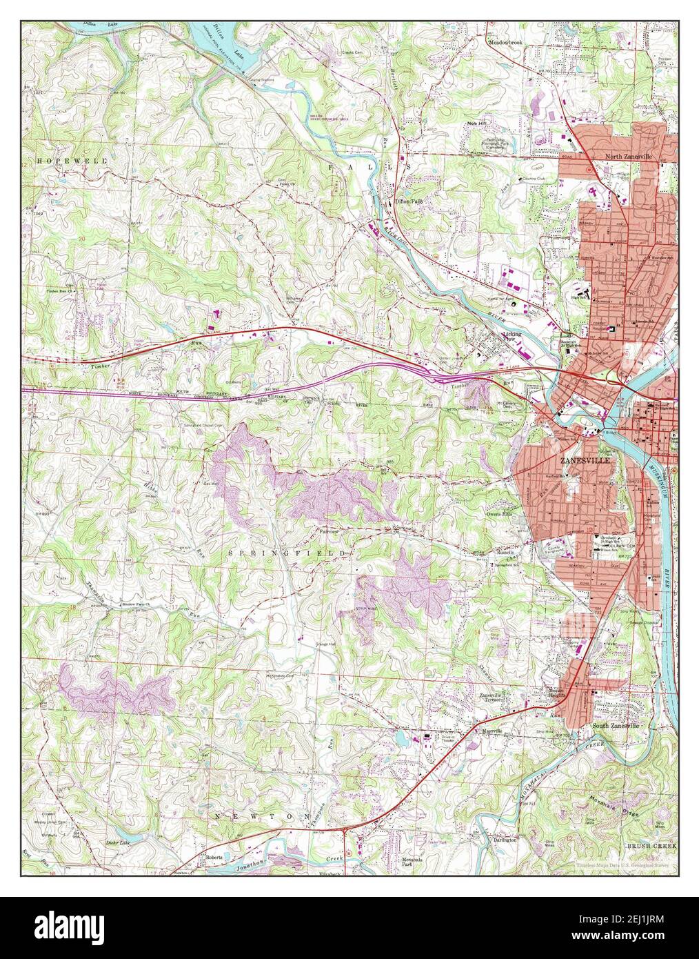 Zanesville West, Ohio, map 1992, 1:24000, United States of America by Timeless Maps, data U.S. Geological Survey Stock Photohttps://www.alamy.com/image-license-details/?v=1https://www.alamy.com/zanesville-west-ohio-map-1992-124000-united-states-of-america-by-timeless-maps-data-us-geological-survey-image406939000.html
RM2EJ1JRM–Zanesville West, Ohio, map 1992, 1:24000, United States of America by Timeless Maps, data U.S. Geological Survey
 Zanesville West, Ohio, map 1961, 1:24000, United States of America by Timeless Maps, data U.S. Geological Survey Stock Photohttps://www.alamy.com/image-license-details/?v=1https://www.alamy.com/zanesville-west-ohio-map-1961-124000-united-states-of-america-by-timeless-maps-data-us-geological-survey-image406938964.html
RM2EJ1JPC–Zanesville West, Ohio, map 1961, 1:24000, United States of America by Timeless Maps, data U.S. Geological Survey
 Zanesville West, Ohio, map 1961, 1:24000, United States of America by Timeless Maps, data U.S. Geological Survey Stock Photohttps://www.alamy.com/image-license-details/?v=1https://www.alamy.com/zanesville-west-ohio-map-1961-124000-united-states-of-america-by-timeless-maps-data-us-geological-survey-image406938965.html
RM2EJ1JPD–Zanesville West, Ohio, map 1961, 1:24000, United States of America by Timeless Maps, data U.S. Geological Survey
 Zanesville East, Ohio, map 1961, 1:24000, United States of America by Timeless Maps, data U.S. Geological Survey Stock Photohttps://www.alamy.com/image-license-details/?v=1https://www.alamy.com/zanesville-east-ohio-map-1961-124000-united-states-of-america-by-timeless-maps-data-us-geological-survey-image406938960.html
RM2EJ1JP8–Zanesville East, Ohio, map 1961, 1:24000, United States of America by Timeless Maps, data U.S. Geological Survey
 Zanesville East, Ohio, map 1994, 1:24000, United States of America by Timeless Maps, data U.S. Geological Survey Stock Photohttps://www.alamy.com/image-license-details/?v=1https://www.alamy.com/zanesville-east-ohio-map-1994-124000-united-states-of-america-by-timeless-maps-data-us-geological-survey-image406938961.html
RM2EJ1JP9–Zanesville East, Ohio, map 1994, 1:24000, United States of America by Timeless Maps, data U.S. Geological Survey
 Zanesville West, Ohio, map 1961, 1:24000, United States of America by Timeless Maps, data U.S. Geological Survey Stock Photohttps://www.alamy.com/image-license-details/?v=1https://www.alamy.com/zanesville-west-ohio-map-1961-124000-united-states-of-america-by-timeless-maps-data-us-geological-survey-image406939004.html
RM2EJ1JRT–Zanesville West, Ohio, map 1961, 1:24000, United States of America by Timeless Maps, data U.S. Geological Survey
 Zanesville East, Ohio, map 1961, 1:24000, United States of America by Timeless Maps, data U.S. Geological Survey Stock Photohttps://www.alamy.com/image-license-details/?v=1https://www.alamy.com/zanesville-east-ohio-map-1961-124000-united-states-of-america-by-timeless-maps-data-us-geological-survey-image406938969.html
RM2EJ1JPH–Zanesville East, Ohio, map 1961, 1:24000, United States of America by Timeless Maps, data U.S. Geological Survey
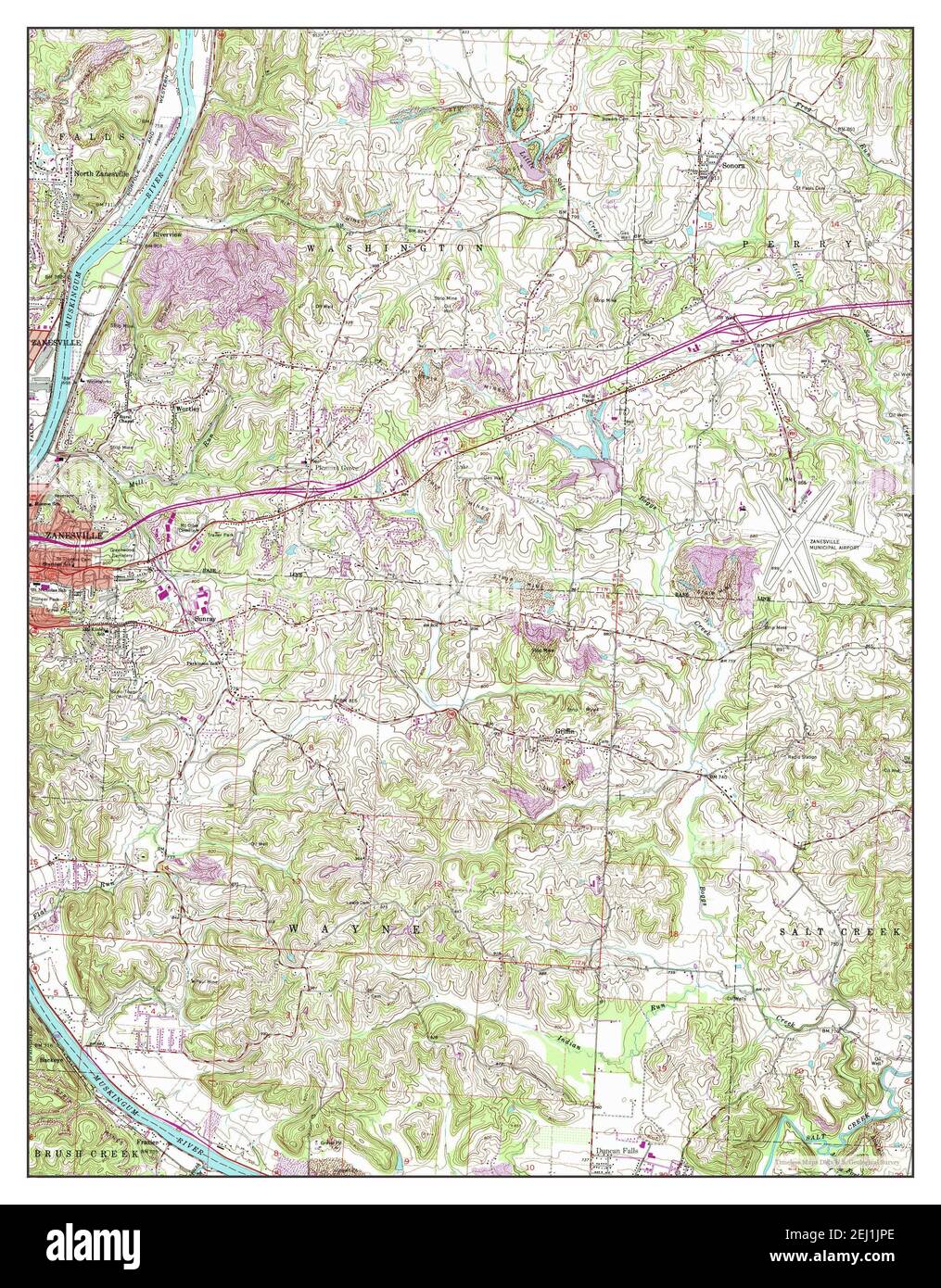 Zanesville East, Ohio, map 1961, 1:24000, United States of America by Timeless Maps, data U.S. Geological Survey Stock Photohttps://www.alamy.com/image-license-details/?v=1https://www.alamy.com/zanesville-east-ohio-map-1961-124000-united-states-of-america-by-timeless-maps-data-us-geological-survey-image406938966.html
RM2EJ1JPE–Zanesville East, Ohio, map 1961, 1:24000, United States of America by Timeless Maps, data U.S. Geological Survey
 Zanesville West, Ohio, map 1961, 1:24000, United States of America by Timeless Maps, data U.S. Geological Survey Stock Photohttps://www.alamy.com/image-license-details/?v=1https://www.alamy.com/zanesville-west-ohio-map-1961-124000-united-states-of-america-by-timeless-maps-data-us-geological-survey-image406938971.html
RM2EJ1JPK–Zanesville West, Ohio, map 1961, 1:24000, United States of America by Timeless Maps, data U.S. Geological Survey
 Zanesville East, Ohio, map 1961, 1:24000, United States of America by Timeless Maps, data U.S. Geological Survey Stock Photohttps://www.alamy.com/image-license-details/?v=1https://www.alamy.com/zanesville-east-ohio-map-1961-124000-united-states-of-america-by-timeless-maps-data-us-geological-survey-image406938952.html
RM2EJ1JP0–Zanesville East, Ohio, map 1961, 1:24000, United States of America by Timeless Maps, data U.S. Geological Survey