SUTTON Cheam Epsom Belmont Carshalton Ewell Banstead Downs BACON 1900 old map
Image details
Contributor:
Antiqua Print Gallery / Alamy Stock PhotoImage ID:
TD3RMJFile size:
127.2 MB (5.4 MB Compressed download)Releases:
Model - no | Property - noDo I need a release?Dimensions:
8404 x 5291 px | 71.2 x 44.8 cm | 28 x 17.6 inches | 300dpiDate taken:
1900Location:
LondonMore information:
This image could have imperfections as it’s either historical or reportage.
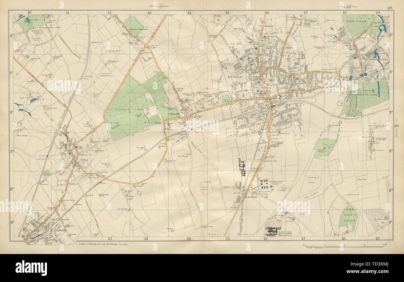
[Sheet 29 from Bacon's 1900 London street atlas covering part of South London inc. Sutton, Cheam, Epsom, Belmont, Carshalton, Ewell, Banstead Downs.]. Artist/engraver/cartographer: George W Bacon. Provenance: "Bacon's New Large-Scale Atlas of London & Suburbs", G.W.Bacon & Co Limited, 127, Strand, London. Type: Antique street atlas map with original hand colour (Scale: 1 mile to 4 inches). This map (sheet 29) includes all or part of the following areas/suburbs of London: Sutton, Cheam, Epsom, Belmont, Carshalton, Ewell, Stoneleigh, Banstead Downs. Adjacent map sheets are offered for sale separately: The map section to the north of this map is sheet number 25. The map section to the east of this map is sheet number 30.