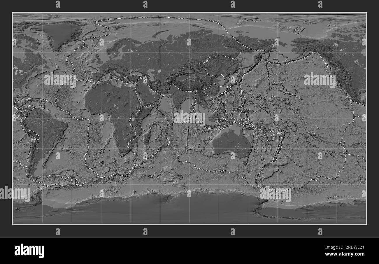
Tectonic plate boundaries on the world bilevel elevation map in the Compact Miller projection centered on the 90th meridian east longitude
RFID:Image ID:2RDWE21
Image details
Contributor:
Yarr65 / Alamy Stock PhotoImage ID:
2RDWE21File size:
165.3 MB (9.1 MB Compressed download)Releases:
Model - no | Property - noDo I need a release?Dimensions:
9600 x 6019 px | 81.3 x 51 cm | 32 x 20.1 inches | 300dpi