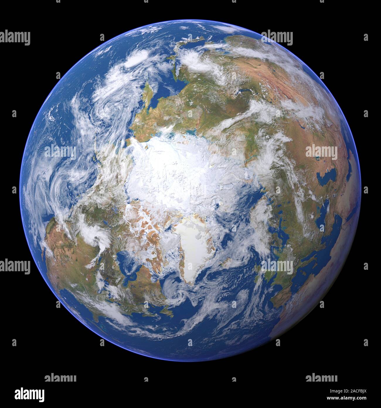
The Arctic. Satellite image of the Earth centred on the Arctic. The North Pole is at centre. Clouds and Arctic sea ice are white, oceans are blue and
RMID:Image ID:2ACFBJX
Image details
Contributor:
Science Photo Library / Alamy Stock PhotoImage ID:
2ACFBJXFile size:
50.3 MB (1.9 MB Compressed download)Releases:
Model - no | Property - noDo I need a release?Dimensions:
4193 x 4193 px | 35.5 x 35.5 cm | 14 x 14 inches | 300dpiDate taken:
27 April 2009Photographer:
PLANETARY VISIONS LTD/SCIENCE PHOTO LIBRARYMore information:
The Arctic. Satellite image of the Earth centred on the Arctic. The North Pole is at centre. Clouds and Arctic sea ice are white, oceans are blue and land is green and brown. Also seen are Asia (upper right), Europe (lower right), the Atlantic Ocean (bottom), North America (lower left) and the Pacific Ocean (upper left). This image was produced by combining data from the Defense Meteorological Satellite Program (DMSP), NOAA's POES and Nimbus 7 satellites and the MODIS instrument on board NASA's Terra satellite.