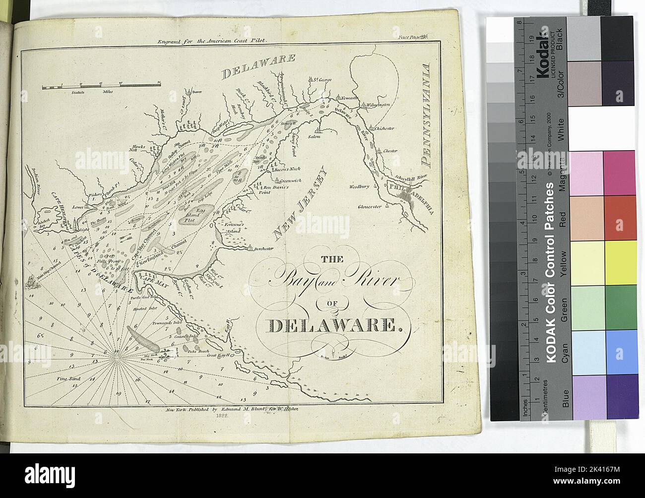
The Bay and river of Delaware Cartographic. Maps, Atlases. 1822. Lionel Pincus and Princess Firyal Map Division. Nautical charts, Pilot guides , Atlantic Coast (North America), Pilot guides , Atlantic Coast (South America), New Jersey, Nautical charts , Delaware Bay (Del. and N.J.), Nautical charts , Pacific Ocean, Delaware Bay (Del. and N.J.) , Maps, Delaware River Estuary , Maps
RMID:Image ID:2K4167M
Image details
Contributor:
Ny/piemags / Alamy Stock PhotoImage ID:
2K4167MFile size:
26.2 MB (1.5 MB Compressed download)Releases:
Model - no | Property - noDo I need a release?Dimensions:
3609 x 2541 px | 30.6 x 21.5 cm | 12 x 8.5 inches | 300dpiMore information:
This image is a public domain image, which means either that copyright has expired in the image or the copyright holder has waived their copyright. Alamy charges you a fee for access to the high resolution copy of the image.
This image could have imperfections as it’s either historical or reportage.