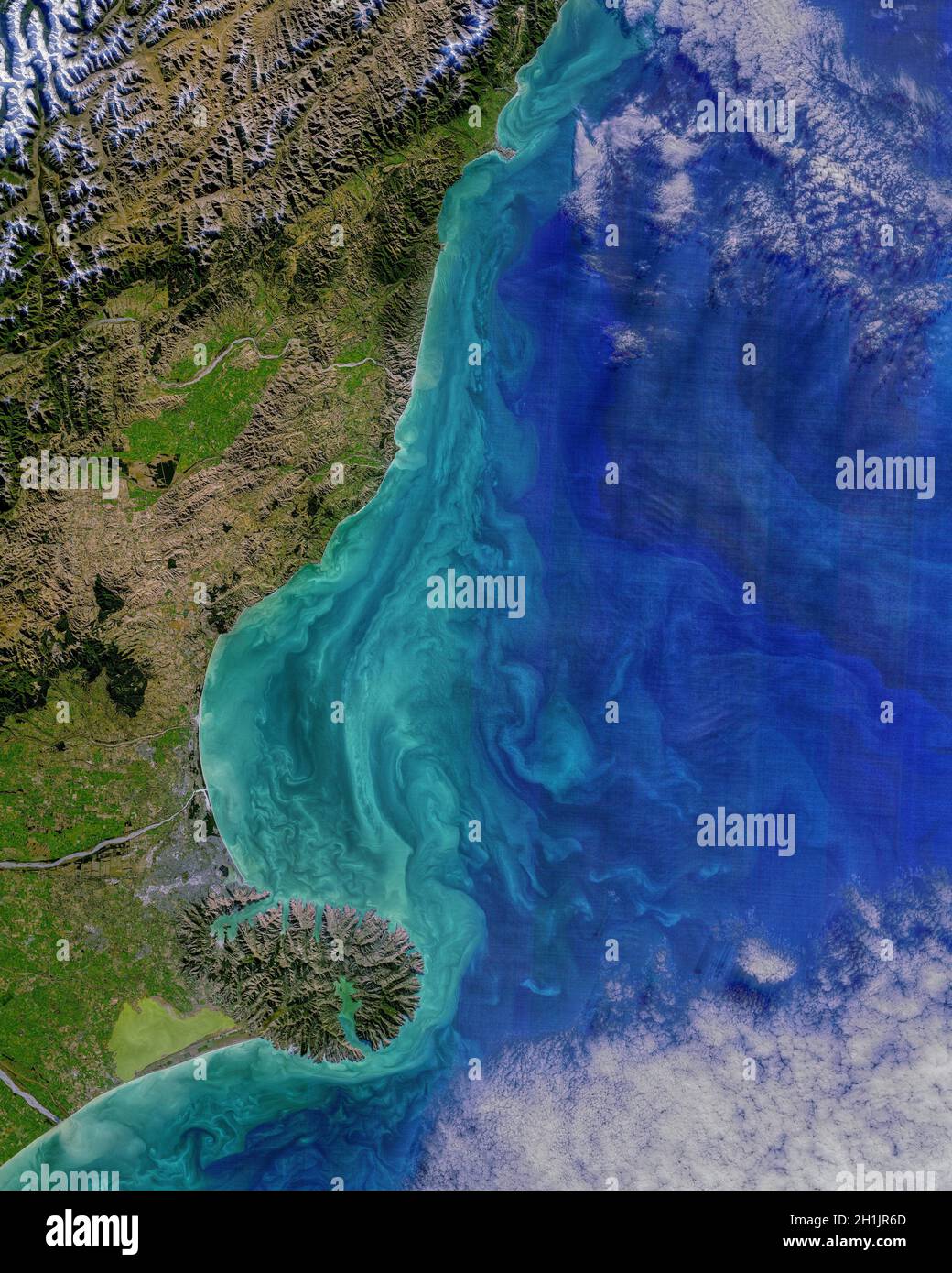
The coastal Canterbury region of the South Island, New Zealand. from Kaikoura Peninsula (north) to Banks Peninsula (south). image acquired on 19 May 2021, with the Operational Land Imager (OLI) on the Landsat 8 satellite. An optimised and digitally enhanced version of a NASA image / credit NASA

RMID:Image ID:2H1JR6D
Image details
Contributor:
J Marshall - Tribaleye Images / Alamy Stock PhotoImage ID:
2H1JR6DFile size:
47.4 MB (4.6 MB Compressed download)Releases:
Model - no | Property - noDo I need a release?Dimensions:
3639 x 4548 px | 30.8 x 38.5 cm | 12.1 x 15.2 inches | 300dpiDate taken:
19 May 2021Location:
New Zealand, South Island, Canterbury RegionPhotographer:
NASA / digitaleyeMore information:
This image is a public domain image, which means either that copyright has expired in the image or the copyright holder has waived their copyright. Alamy charges you a fee for access to the high resolution copy of the image.