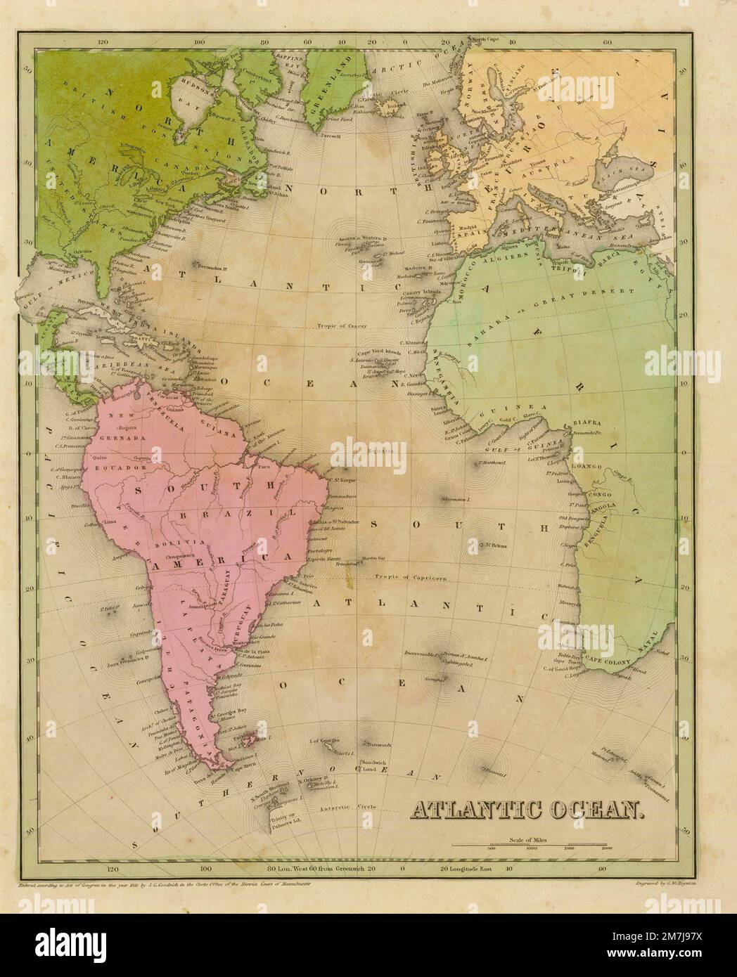
The old map of the Atlantic Ocean on the Goodrich atlas from the year of 1841
RFID:Image ID:2M7J97X
Image details
Contributor:
Wirestock, Inc. / Alamy Stock PhotoImage ID:
2M7J97XFile size:
27.9 MB (1.5 MB Compressed download)Releases:
Model - no | Property - noDo I need a release?Dimensions:
2803 x 3477 px | 23.7 x 29.4 cm | 9.3 x 11.6 inches | 300dpiPhotographer:
WireStock