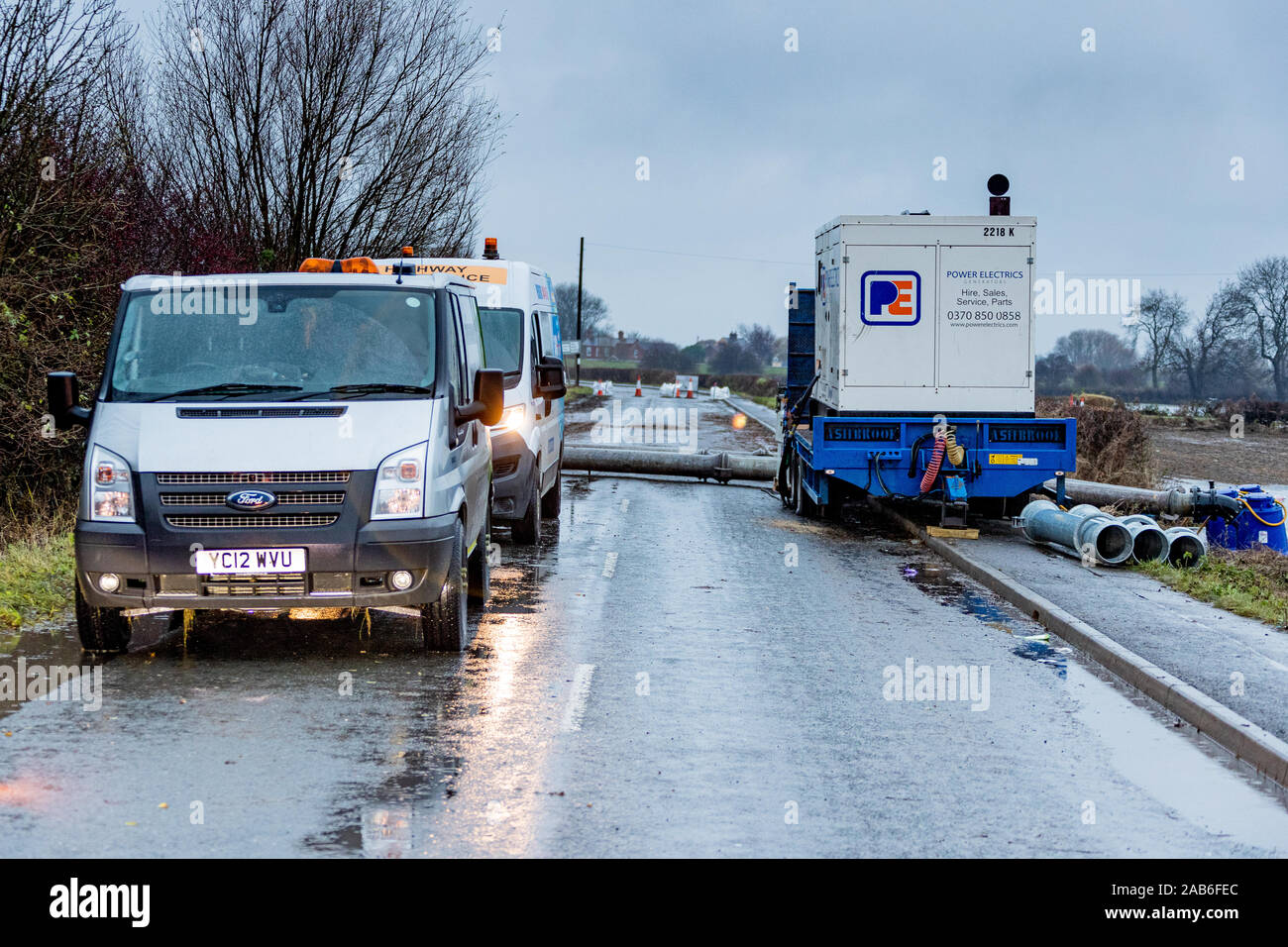
The outskirts of flood hit village of Fishlake near Doncaster South Yorkshire.

RMID:Image ID:2AB6FEC
Image details
Contributor:
HOT SHOTS / Alamy Stock PhotoImage ID:
2AB6FECFile size:
57.1 MB (4.8 MB Compressed download)Releases:
Model - no | Property - noDo I need a release?Dimensions:
5472 x 3648 px | 46.3 x 30.9 cm | 18.2 x 12.2 inches | 300dpiDate taken:
23 November 2019Location:
FishLkae, Doncaster, South Yorkshire, EnglandMore information:
This image could have imperfections as it’s either historical or reportage.
Roads particularly affecctred by flood water were: Trundle Lane, Far Bank Lane, East Field Road, Dirty Lane, Main Street, Church Lane, Grove Road, Pinfold Lane, Sour Lane and Wood Lane