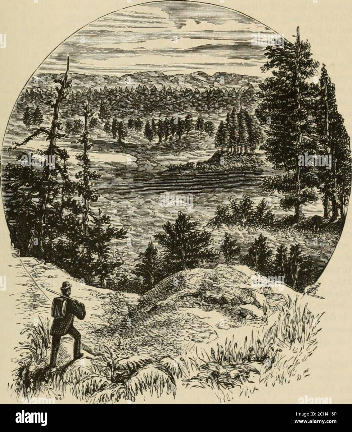
. The Pacific tourist . fined to a re-gion of territorylying betweenthe forks of theCheyenne river.In addition tothe gulch andplacer diggings,already discov-ered, there havebeen a few dis-coveries of whatappears to berich quartz lodesof gold and veinsof silver. Thisregion is aboutone hundredmiles long andeighty mileswide. FrenchCreek, SpringCreek, RapidCreek, Box-elderCreek, Elk Creekand others headin these Hills,and flow mainly in an eastern direction, emptyinginto the south fork of the Cheyenne. The northfork seems to hug the hills pretty closely withsmall creeks and streams, yet unexplored,
Image details
Contributor:
Reading Room 2020 / Alamy Stock PhotoImage ID:
2CH4H5PFile size:
7.1 MB (571.6 KB Compressed download)Releases:
Model - no | Property - noDo I need a release?Dimensions:
1476 x 1692 px | 25 x 28.7 cm | 9.8 x 11.3 inches | 150dpiMore information:
This image is a public domain image, which means either that copyright has expired in the image or the copyright holder has waived their copyright. Alamy charges you a fee for access to the high resolution copy of the image.
This image could have imperfections as it’s either historical or reportage.
. The Pacific tourist . fined to a re-gion of territorylying betweenthe forks of theCheyenne river.In addition tothe gulch andplacer diggings, already discov-ered, there havebeen a few dis-coveries of whatappears to berich quartz lodesof gold and veinsof silver. Thisregion is aboutone hundredmiles long andeighty mileswide. FrenchCreek, SpringCreek, RapidCreek, Box-elderCreek, Elk Creekand others headin these Hills, and flow mainly in an eastern direction, emptyinginto the south fork of the Cheyenne. The northfork seems to hug the hills pretty closely withsmall creeks and streams, yet unexplored, head-ing in the mountains and flowing into it. Thenorth fork heads in Pumpkin Butte, some mount-ains a little north-west of Fort Fetternian, onthe North Platte River. W^est of the northernportion of the Black Hills, there are severalranges of mountains and several streams whichflow north into the Yellowstone River. All ac-counts of this region of country, as far west as theBig Horn Mountains, unite in the report of its. AGKES PARK.—BLACK HILLS. rich mineral character, and we believe the richestmineral discoveries ever known on this continentwill be made here in the next few years. How to get to the Black Hills.—Thisis a hard question to answer, from the fact thatso many towns claim superior advantages asoutfitting points. Sioux City, Yankton andFort Randall, on the Missouri River, are goodpoints to start from, provided you desire a longoverland trip. In Nebraska, Omaha, Fremont, Wisner, —the present terminus of the ElkhornValley Railroad, —have advantages. At Colum-bus, you can follow up the Loup to its forks, and then up thenorth fork overthe divide intothe Niobrara Val-ley, and soon tillyou reach Spot-ted-Tails Agen-cy. From GrandIsland you willgo to the forks ofthe Loup, wherethe route is thesame as from Co-1 u m b u s. Theforks are twentymiles nortli of(t rand Island.The next placeafter Grand Isl-and for a start-i n g-poi nt isNorth Platte. Ithas a bridgeacross the No