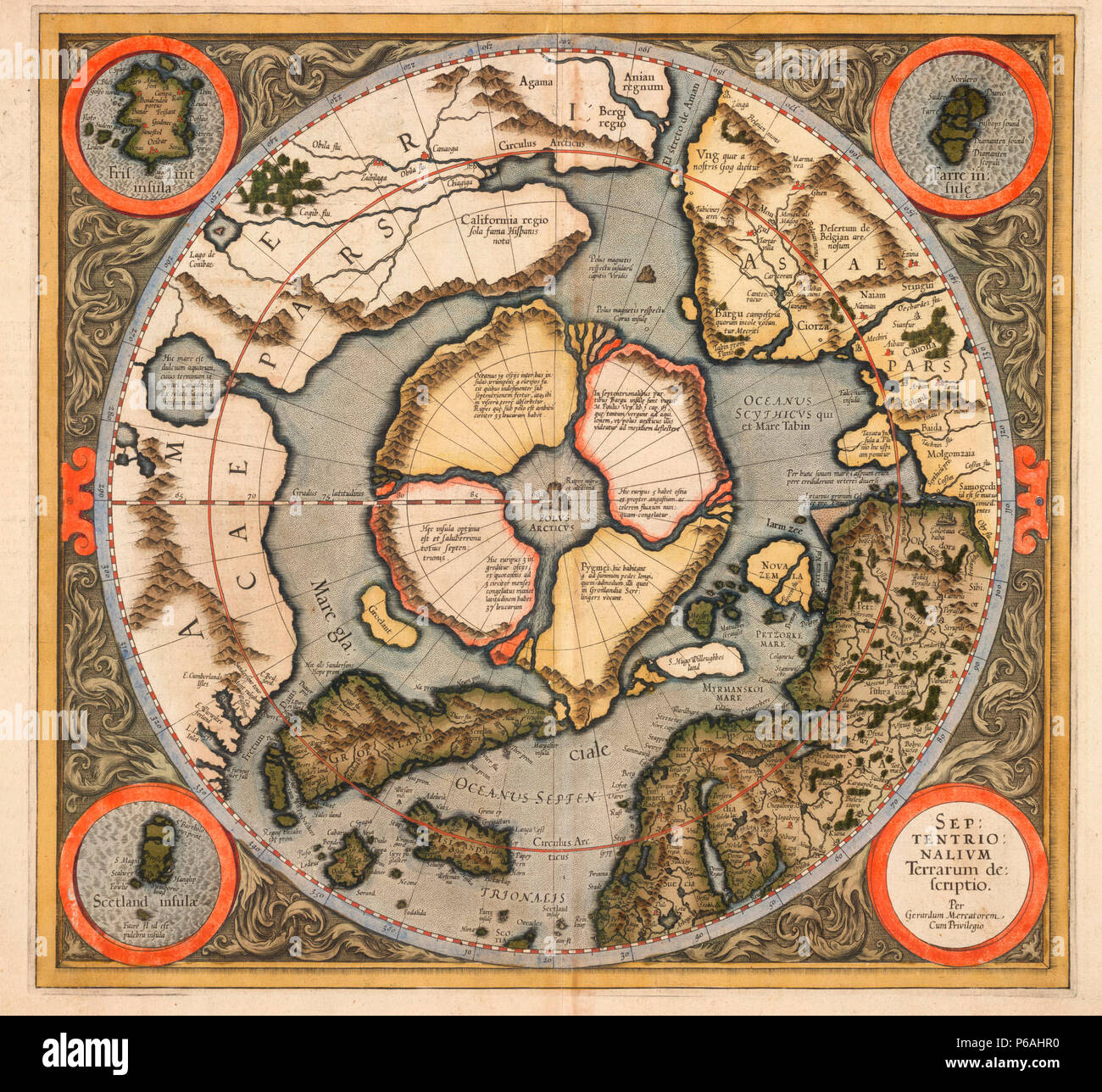
This is the first printed map of the Northern hemisphere from the Arctic pole to 60 degrees north latitude which was originally published in 1595. The map includes the discoveries of Frobisher (1576-78) and Davis (1585-87).

RMID:Image ID:P6AHR0
Image details
Contributor:
Niday Picture Library / Alamy Stock PhotoImage ID:
P6AHR0File size:
16.7 MB (1.6 MB Compressed download)Releases:
Model - no | Property - noDo I need a release?Dimensions:
2520 x 2323 px | 21.3 x 19.7 cm | 8.4 x 7.7 inches | 300dpiDate taken:
28 June 2018More information:
This image could have imperfections as it’s either historical or reportage.