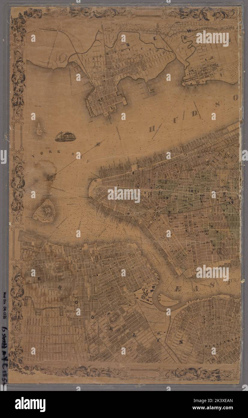
Topographical map of New York City, County and vicinity, showing old farm lines, etc. Based on Radell's and other official surveys, drawings and modern surveys. 1854. Cartographic. Maps. Lionel Pincus and Princess Firyal Map Division
RMID:Image ID:2K3XEAN
Image details
Contributor:
Ny/piemags / Alamy Stock PhotoImage ID:
2K3XEANFile size:
171.8 MB (8.5 MB Compressed download)Releases:
Model - no | Property - noDo I need a release?Dimensions:
6175 x 9725 px | 52.3 x 82.3 cm | 20.6 x 32.4 inches | 300dpiMore information:
This image is a public domain image, which means either that copyright has expired in the image or the copyright holder has waived their copyright. Alamy charges you a fee for access to the high resolution copy of the image.
This image could have imperfections as it’s either historical or reportage.