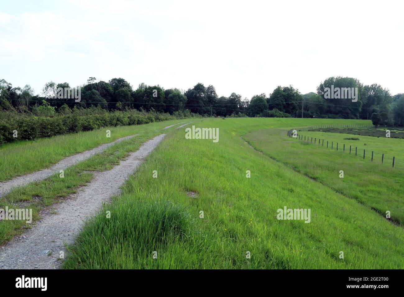
Track along top of Hothfield Flood Defense scheme close to Godinton Road, Great Chart, Ashford, Kent, England, United Kingdom
RMID:Image ID:2GE2T00
Image details
Contributor:
Liz Garnett / Alamy Stock PhotoImage ID:
2GE2T00File size:
63.3 MB (2.9 MB Compressed download)Releases:
Model - no | Property - noDo I need a release?Dimensions:
5760 x 3840 px | 48.8 x 32.5 cm | 19.2 x 12.8 inches | 300dpiDate taken:
5 June 2021Location:
Godinton Lane, Great Chart, Ashford, Kent, England, United Kingdom