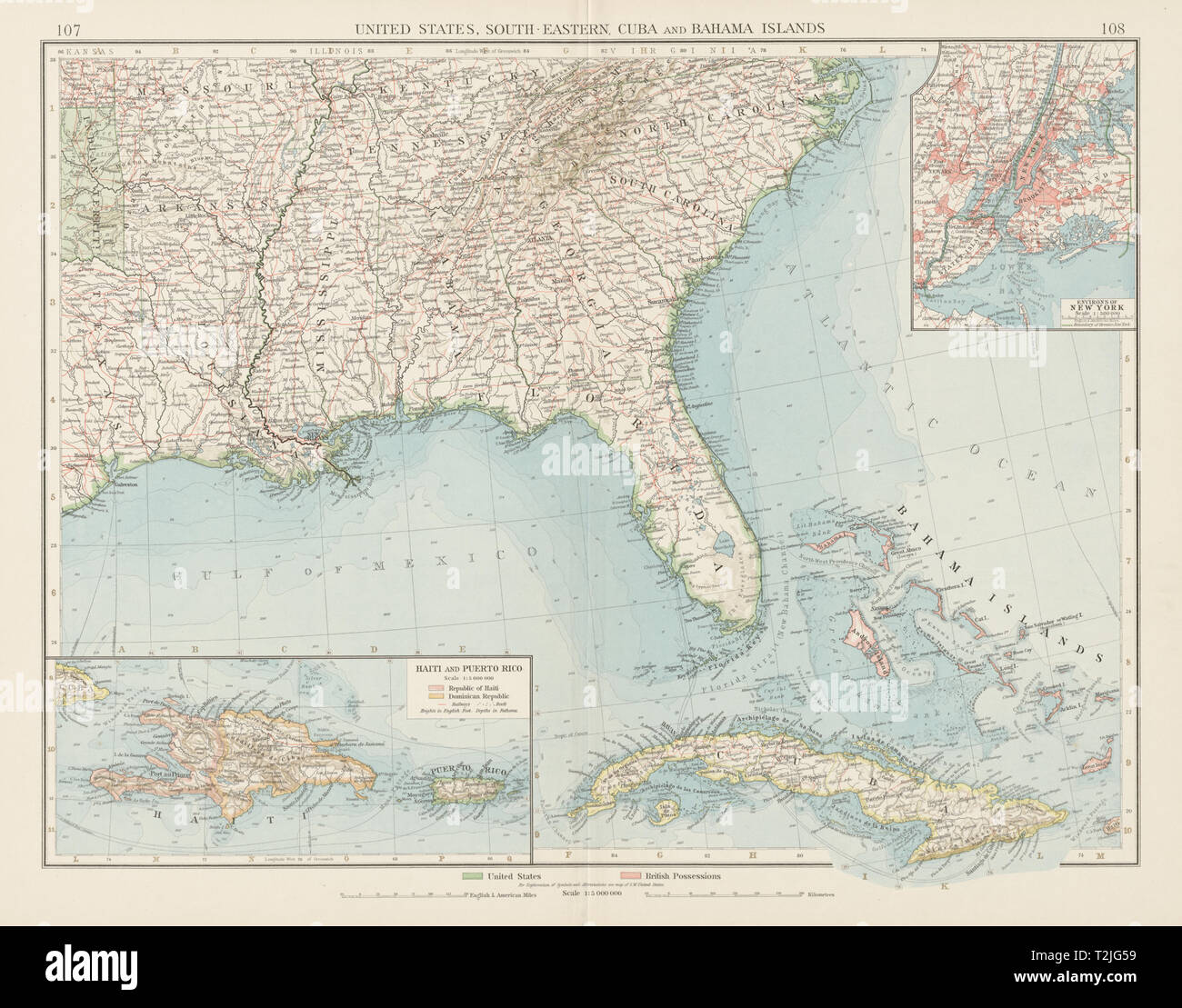
United States Deep South-East Cuba Bahamas Hispaniola Puerto Rico TIMES 1900 map
RFID:Image ID:T2JG59
Image details
Contributor:
Antiqua Print Gallery / Alamy Stock PhotoImage ID:
T2JG59File size:
90.6 MB (4.4 MB Compressed download)Releases:
Model - no | Property - noDo I need a release?Dimensions:
6355 x 4983 px | 53.8 x 42.2 cm | 21.2 x 16.6 inches | 300dpiDate taken:
1900Location:
USAMore information:
This image could have imperfections as it’s either historical or reportage.
United States, South-Eastern, Cuba and Bahamas Islands. Artist/engraver/cartographer: The Times. Provenance: "The Times Atlas (New Edition)", published at the Office of "The Times", Printing House Square, London, EC. Type: Antique colour atlas map.