···
United States of America political map of administrative divisions - states and federal district Washington, D.C. Flat white blank map with thin black outline and dropped shadow. Image details More information:
United States of America political map of administrative divisions - states and federal district Washington, D.C. Flat white blank map with thin black outline and dropped shadow.
Search stock photos by tags
Similar stock vectors Administrative and political vector map of the three North American states, Mexico, Canada and the United States of America Stock Vector https://www.alamy.com/image-license-details/?v=1 https://www.alamy.com/administrative-and-political-vector-map-of-the-three-north-american-states-mexico-canada-and-the-united-states-of-america-image230192548.html RF RAE4XC – Administrative and political vector map of the three North American states, Mexico, Canada and the United States of America United States of America vector map in grey Stock Vector https://www.alamy.com/image-license-details/?v=1 https://www.alamy.com/united-states-of-america-vector-map-in-grey-image222151263.html RF PWBT5K – United States of America vector map in grey Map of the United States of America, with borders and abbreviations for US states, Detailed vector illustration Stock Vector https://www.alamy.com/image-license-details/?v=1 https://www.alamy.com/map-of-the-united-states-of-america-with-borders-and-abbreviations-for-us-states-detailed-vector-illustration-image468579202.html RF 2J69HFE – Map of the United States of America, with borders and abbreviations for US states, Detailed vector illustration Map of The United States of America (USA) Divided States Maps Outline Illustration on White Background. Stock Vector https://www.alamy.com/image-license-details/?v=1 https://www.alamy.com/map-of-the-united-states-of-america-usa-divided-states-maps-outline-illustration-on-white-background-image249425394.html RF TDP8HP – Map of The United States of America (USA) Divided States Maps Outline Illustration on White Background. Vector High detailed accurate exact United States of America american road motorway map with city labeling. Geographic gray semitone administrative ma Stock Vector https://www.alamy.com/image-license-details/?v=1 https://www.alamy.com/stock-photo-vector-high-detailed-accurate-exact-united-states-of-america-american-146963374.html RF JF2N7X – Vector High detailed accurate exact United States of America american road motorway map with city labeling. Geographic gray semitone administrative ma Tennessee state map with counties borders and colored congressional districts boundaries due to The 2020 United States census and which is valid since Stock Vector https://www.alamy.com/image-license-details/?v=1 https://www.alamy.com/tennessee-state-map-with-counties-borders-and-colored-congressional-districts-boundaries-due-to-the-2020-united-states-census-and-which-is-valid-since-image615026626.html RF 2XMGTMJ – Tennessee state map with counties borders and colored congressional districts boundaries due to The 2020 United States census and which is valid since Washington D.C, United States of America. Detailed Country Map with Location Pin on Capital City. Black silhouette and outline maps isolated on white Stock Vector https://www.alamy.com/image-license-details/?v=1 https://www.alamy.com/washington-dc-united-states-of-america-detailed-country-map-with-location-pin-on-capital-city-black-silhouette-and-outline-maps-isolated-on-white-image367441473.html RF 2C9PB9N – Washington D.C, United States of America. Detailed Country Map with Location Pin on Capital City. Black silhouette and outline maps isolated on white Purple hexagonal pixel map of USA. Vector illustration United States hexagon map dotted mosaic. America administrative border, land conmosition. Stock Vector https://www.alamy.com/image-license-details/?v=1 https://www.alamy.com/purple-hexagonal-pixel-map-of-usa-vector-illustration-united-states-hexagon-map-dotted-mosaic-america-administrative-border-land-conmosition-image417679987.html RF 2F7EY2B – Purple hexagonal pixel map of USA. Vector illustration United States hexagon map dotted mosaic. America administrative border, land conmosition. Map of the United States of America Stock Vector https://www.alamy.com/image-license-details/?v=1 https://www.alamy.com/stock-photo-map-of-the-united-states-of-america-81415456.html RF EMCP6T – Map of the United States of America United states of America political map with drop shadow on white background Stock Vector https://www.alamy.com/image-license-details/?v=1 https://www.alamy.com/united-states-of-america-political-map-with-drop-shadow-on-white-background-image469329457.html RF 2J7FPE9 – United states of America political map with drop shadow on white background detailed vector map of North America, Mexico, Canada and the United States Stock Vector https://www.alamy.com/image-license-details/?v=1 https://www.alamy.com/detailed-vector-map-of-north-america-mexico-canada-and-the-united-states-image444206477.html RF 2GPK9W1 – detailed vector map of North America, Mexico, Canada and the United States Political map of USA, United States of America, in four colors on white background. Vector illustration. Stock Vector https://www.alamy.com/image-license-details/?v=1 https://www.alamy.com/political-map-of-usa-united-states-of-america-in-four-colors-on-white-background-vector-illustration-image361335343.html RF 2BYT6WK – Political map of USA, United States of America, in four colors on white background. Vector illustration. American Soldiers lifting united states America flag and memorial day Stock Vector https://www.alamy.com/image-license-details/?v=1 https://www.alamy.com/american-soldiers-lifting-united-states-america-flag-and-memorial-day-image607863974.html RF 2X8XGKJ – American Soldiers lifting united states America flag and memorial day 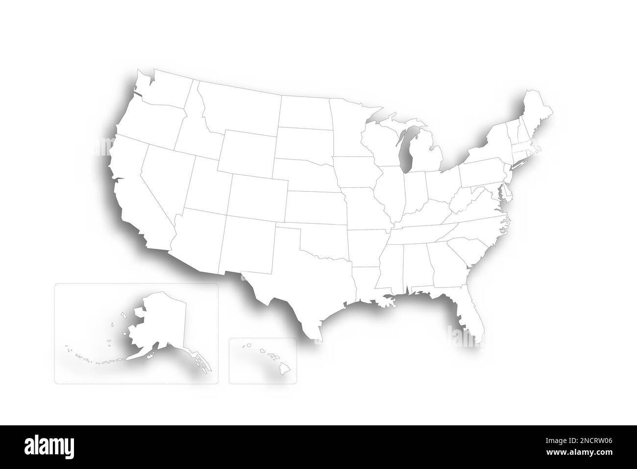