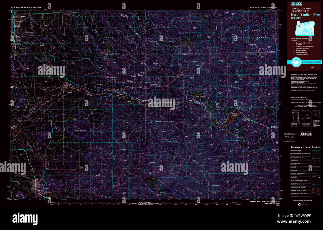
USGS Topo Map Oregon North Santiam River 283110 1983 100000 Inverted Restoration
RMID:Image ID:W9WWFF
Image details
Contributor:
Wetdryvac / Alamy Stock PhotoImage ID:
W9WWFFFile size:
233.3 MB (17.5 MB Compressed download)Releases:
Model - no | Property - noDo I need a release?Dimensions:
11269 x 7235 px | 95.4 x 61.3 cm | 37.6 x 24.1 inches | 300dpiDate taken:
15 September 2011More information:
This image could have imperfections as it’s either historical or reportage.