···
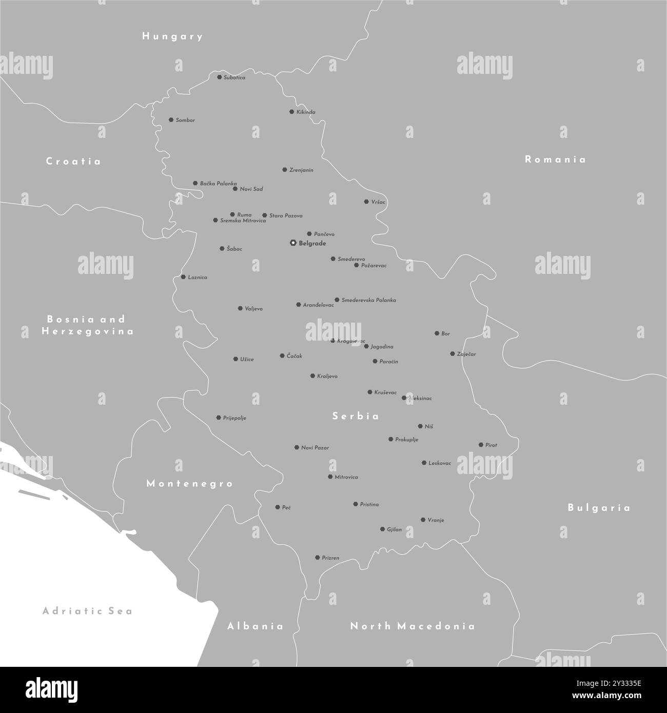
Vector modern illustration. Simplified administrative map of Serbia including Kosovo. Border with nearest states Romania, Bulgaria, Hungary and etc. W Image details Date created:
6 August 2024
More information:
Vector modern illustration. Simplified administrative map of Serbia including Kosovo. Border with nearest states Romania, Bulgaria, Hungary and etc. White background of Adriatic sea. Names of big cities
Search stock photos by tags
Similar stock vectors Vector modern illustration. Simplified administrative map of Romania. Blue gradient effect. Names of cities and regions, counties Stock Vector https://www.alamy.com/image-license-details/?v=1 https://www.alamy.com/vector-modern-illustration-simplified-administrative-map-of-romania-blue-gradient-effect-names-of-cities-and-regions-counties-image621482862.html RF 2Y32YME – Vector modern illustration. Simplified administrative map of Romania. Blue gradient effect. Names of cities and regions, counties Kazakhstan map vector, isolated on white background. Black map template, flat earth. Simplified world map with round Stock Vector https://www.alamy.com/image-license-details/?v=1 https://www.alamy.com/kazakhstan-map-vector-isolated-on-white-background-black-map-template-flat-earth-simplified-world-map-with-round-image434449454.html RF 2G6PTKX – Kazakhstan map vector, isolated on white background. Black map template, flat earth. Simplified world map with round France map provinces highlighted boundaries vector illustration. Light gray color. Stock Vector https://www.alamy.com/image-license-details/?v=1 https://www.alamy.com/france-map-provinces-highlighted-boundaries-vector-illustration-light-gray-color-image336003033.html RF 2AEJ789 – France map provinces highlighted boundaries vector illustration. Light gray color. The Trinidad and Tobago colorful administrative map with labels Stock Vector https://www.alamy.com/image-license-details/?v=1 https://www.alamy.com/the-trinidad-and-tobago-colorful-administrative-map-with-labels-image404115426.html RF 2EDD19P – The Trinidad and Tobago colorful administrative map with labels France map with its provinces. Modern graphics design background. Cyan blue, cream white background. Perfect for business concepts, backgrounds, backd Stock Vector https://www.alamy.com/image-license-details/?v=1 https://www.alamy.com/france-map-with-its-provinces-modern-graphics-design-background-cyan-blue-cream-white-background-perfect-for-business-concepts-backgrounds-backd-image385263869.html RF 2DAP7YW – France map with its provinces. Modern graphics design background. Cyan blue, cream white background. Perfect for business concepts, backgrounds, backd The Trinidad and Tobago grayscale map divided in administrative areas with labels Stock Vector https://www.alamy.com/image-license-details/?v=1 https://www.alamy.com/the-trinidad-and-tobago-grayscale-map-divided-in-administrative-areas-with-labels-image406597322.html RF 2EHE30X – The Trinidad and Tobago grayscale map divided in administrative areas with labels Modern design germany map with its provinces. Cyan blue, cream white background. Perfect for business concepts, backgrounds, backdrop, poster, sticker Stock Vector https://www.alamy.com/image-license-details/?v=1 https://www.alamy.com/modern-design-germany-map-with-its-provinces-cyan-blue-cream-white-background-perfect-for-business-concepts-backgrounds-backdrop-poster-sticker-image385258789.html RF 2DAP1ED – Modern design germany map with its provinces. Cyan blue, cream white background. Perfect for business concepts, backgrounds, backdrop, poster, sticker Regions of Belarus. Map of regional country administrative divisions. Colorful vector illustration. Stock Vector https://www.alamy.com/image-license-details/?v=1 https://www.alamy.com/regions-of-belarus-map-of-regional-country-administrative-divisions-colorful-vector-illustration-image360275208.html RF 2BX3XKM – Regions of Belarus. Map of regional country administrative divisions. Colorful vector illustration. Israel, gaza, west bank map, vector illustration. Stock Vector https://www.alamy.com/image-license-details/?v=1 https://www.alamy.com/israel-gaza-west-bank-map-vector-illustration-image572281499.html RF 2T71JTY – Israel, gaza, west bank map, vector illustration. Luxembourg district isolated on Luxembourg map. Business concepts and backgrounds. Stock Vector https://www.alamy.com/image-license-details/?v=1 https://www.alamy.com/luxembourg-district-isolated-on-luxembourg-map-business-concepts-and-backgrounds-image385263502.html RF 2DAP7EP – Luxembourg district isolated on Luxembourg map. Business concepts and backgrounds. Sweden counties map Stock Vector https://www.alamy.com/image-license-details/?v=1 https://www.alamy.com/sweden-counties-map-image386417619.html RF 2DCJRH7 – Sweden counties map Realistic vector map of Moldavia with flag. The location of the country on the map of the world and Europe. A silhouette with detailed borders of the Stock Vector https://www.alamy.com/image-license-details/?v=1 https://www.alamy.com/realistic-vector-map-of-moldavia-with-flag-the-location-of-the-country-on-the-map-of-the-world-and-europe-a-silhouette-with-detailed-borders-of-the-image432073320.html RF 2G2XHX0 – Realistic vector map of Moldavia with flag. The location of the country on the map of the world and Europe. A silhouette with detailed borders of the Vector modern illustration. Simplified administrative map of Romania. Grey shape with white outline. Names of cities and regions, counties Stock Vector https://www.alamy.com/image-license-details/?v=1 https://www.alamy.com/vector-modern-illustration-simplified-administrative-map-of-romania-grey-shape-with-white-outline-names-of-cities-and-regions-counties-image621482957.html RF 2Y32YRW – Vector modern illustration. Simplified administrative map of Romania. Grey shape with white outline. Names of cities and regions, counties 