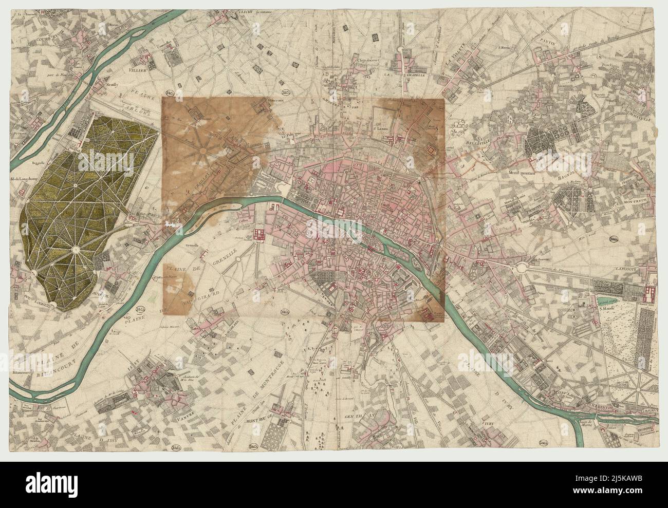
Vintage map of Paris and area around it from 17th/18th century. Maps are beautifully hand illustrated and engraved showing Paris at the time.
RFID:Image ID:2J5KAWB
Image details
Contributor:
Dragan Jelic / Alamy Stock PhotoImage ID:
2J5KAWBFile size:
211.4 MB (18.7 MB Compressed download)Releases:
Model - no | Property - noDo I need a release?Dimensions:
10336 x 7149 px | 87.5 x 60.5 cm | 34.5 x 23.8 inches | 300dpiDate taken:
26 September 2021More information:
This image could have imperfections as it’s either historical or reportage.