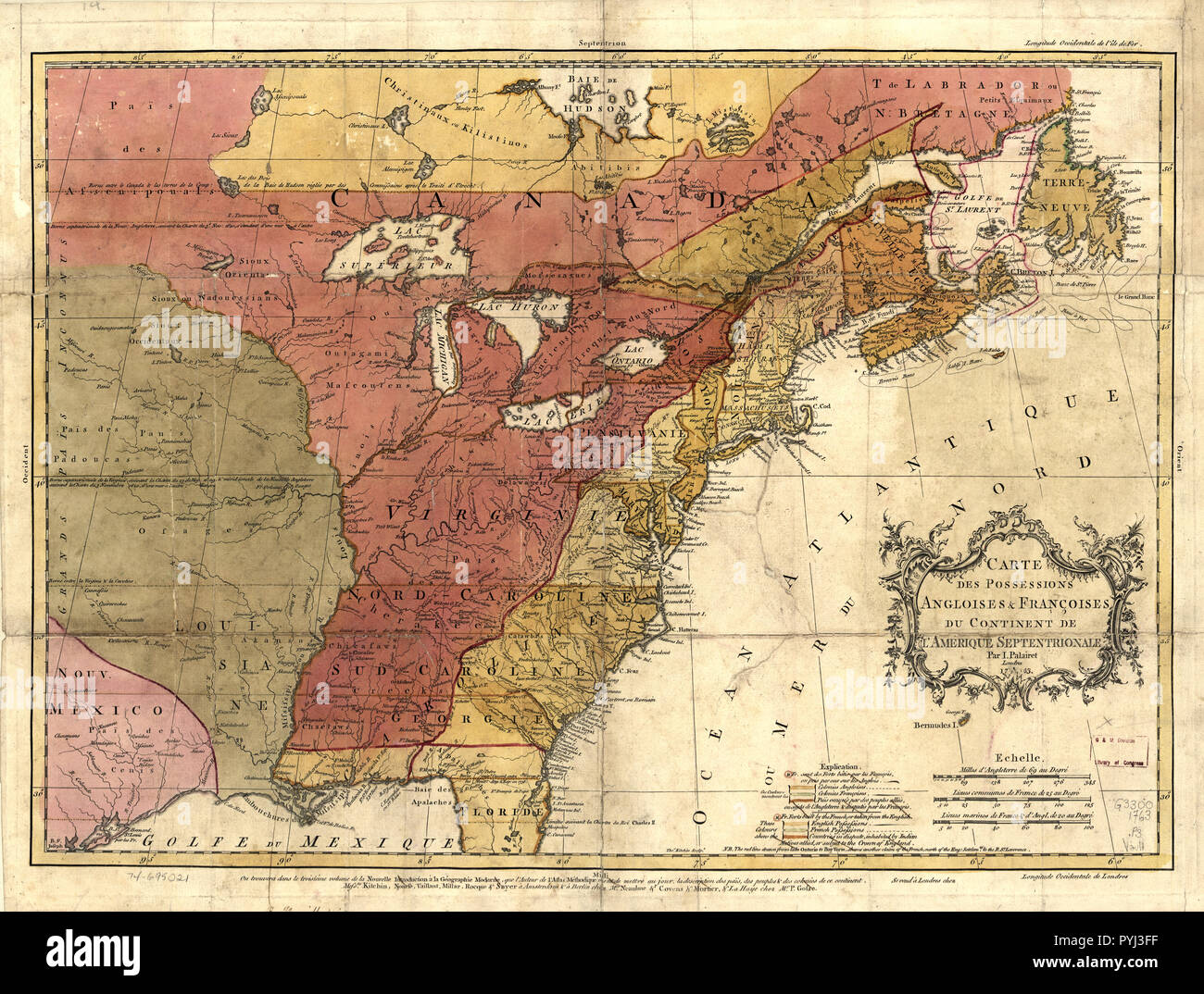
Vintage Maps / Antique Maps - Carte des possessions angloises & françoises du continent de l'Amérique septentrionale (Map of the English and French possessions of the continent of North America)
RMID:Image ID:PYJ3FF
Image details
Contributor:
Hum Images / Alamy Stock PhotoImage ID:
PYJ3FFFile size:
78.5 MB (6.6 MB Compressed download)Releases:
Model - no | Property - noDo I need a release?Dimensions:
6019 x 4559 px | 51 x 38.6 cm | 20.1 x 15.2 inches | 300dpiDate taken:
25 February 2005More information:
This image could have imperfections as it’s either historical or reportage.