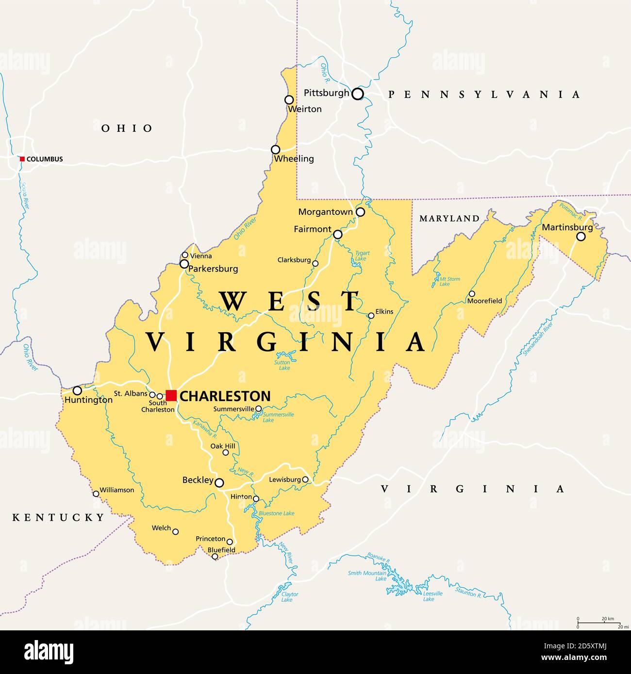
West Virginia, WV, political map. State in the Appalachian region of Southern United States of America. Part of Mid-Atlantic Southeast Region.

RFID:Image ID:2D5XTMJ
Image details
Contributor:
Peter Hermes Furian / Alamy Stock PhotoImage ID:
2D5XTMJFile size:
103 MB (1.2 MB Compressed download)Releases:
Model - no | Property - noDo I need a release?Dimensions:
6000 x 6000 px | 50.8 x 50.8 cm | 20 x 20 inches | 300dpiDate taken:
14 October 2020Location:
West VirginiaMore information:
West Virginia, WV, political map. State in the Appalachian region of Southern United States of America. Part of Mid-Atlantic Southeast Region. Capital Charleston. Mountain State. Illustration.