Western Europe - Physical. BARTHOLOMEW 1949 old vintage map plan chart
RFID:Image ID:2FWPFET
Image details
Contributor:
Antiqua Print Gallery / Alamy Stock PhotoImage ID:
2FWPFETFile size:
8.2 MB (668.8 KB Compressed download)Releases:
Model - no | Property - noDo I need a release?Dimensions:
1297 x 2202 px | 22 x 37.3 cm | 8.6 x 14.7 inches | 150dpiDate taken:
1949Location:
EuropeMore information:
This image could have imperfections as it’s either historical or reportage.
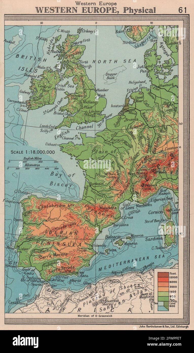
Western Europe-Physical. Artist/engraver/cartographer: John Bartholomew & Son. Provenance: "Handy Reference Atlas of the World"; by John Bartholomew, published by John Walker & Co. Ltd., London. Type: Vintage colour atlas map.