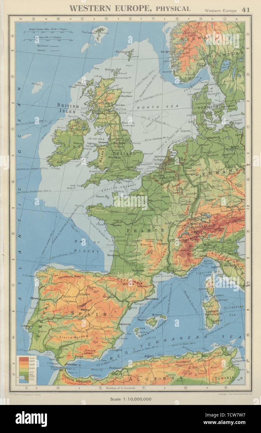
WESTERN EUROPE. Physical & main railways. BARTHOLOMEW 1947 old vintage map
RFID:Image ID:TCW7W7
Image details
Contributor:
Antiqua Print Gallery / Alamy Stock PhotoImage ID:
TCW7W7File size:
55.5 MB (3 MB Compressed download)Releases:
Model - no | Property - noDo I need a release?Dimensions:
3539 x 5479 px | 30 x 46.4 cm | 11.8 x 18.3 inches | 300dpiDate taken:
1947More information:
This image could have imperfections as it’s either historical or reportage.
Western Europe Physical. Artist/engraver/cartographer: John Bartholomew & Son. Provenance: "The Citizen's Atlas of the World"; by John Bartholomew, Published by John Bartholomew & Son Limited, London: 9th Edition. Type: Vintage colour atlas map.