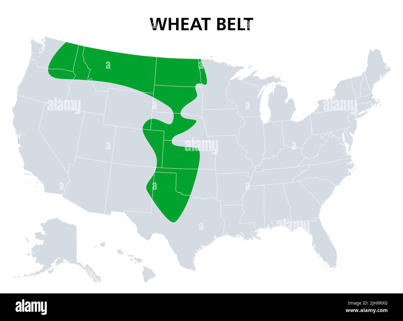
Wheat Belt of the United States, political map. Part of the North American Great Plains where wheat is the dominant crop.

RFID:Image ID:2JHXRXG
Image details
Contributor:
Peter Hermes Furian / Alamy Stock PhotoImage ID:
2JHXRXGFile size:
141.6 MB (703.8 KB Compressed download)Releases:
Model - no | Property - noDo I need a release?Dimensions:
8247 x 6000 px | 69.8 x 50.8 cm | 27.5 x 20 inches | 300dpiDate taken:
21 July 2022Location:
United StatesMore information:
Wheat Belt of the United States, political map. Part of the North American Great Plains where wheat is the dominant crop. Extending from central Alberta, Canada, to Central Texas. Illustration.