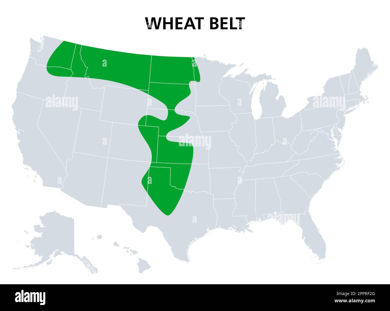
Wheat Belt of the United States, region with wheat as dominant crop, map

RFID:Image ID:2PPRF2G
Image details
Contributor:
Panther Media GmbH / Alamy Stock VectorImage ID:
2PPRF2GReleases:
Model - no | Property - noDo I need a release?Photographer:
PeterHermesFurianMore information:
Wheat Belt of the United States, political map. Part of the North American Great Plains where wheat is the dominant crop. Extending from central Alberta, Canada, to Central Texas. Illustration. Vector