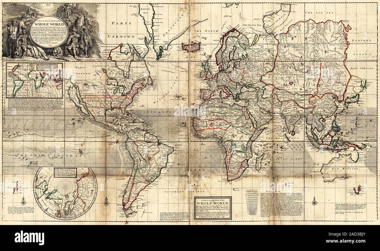
World map. 18th-century map of the world, published in 1719 by London geographer Herman Moll (c.1654-1732). Titled 'A new and correct map of the whole
RMID:Image ID:2AD3BJY
Image details
Contributor:
Science Photo Library / Alamy Stock PhotoImage ID:
2AD3BJYFile size:
60.5 MB (6.8 MB Compressed download)Releases:
Model - no | Property - noDo I need a release?Dimensions:
5970 x 3540 px | 50.5 x 30 cm | 19.9 x 11.8 inches | 300dpiDate taken:
17 November 2015More information:
World map. 18th-century map of the world, published in 1719 by London geographer Herman Moll (c.1654-1732). Titled 'A new and correct map of the whole world', it shows the new lands being discovered in the Canadian Arctic (upper left) and also on and around Australia (marked as 'New Holland') and New Zealand. Japan is incompletely shown, along with the Russian Far East. The red markings in North America show colonial sea-to-sea land grants. Arrows show ocean trade winds. The inset maps show the Arctic (lower left) and compass variations (upper left). The Pacific Ocean is named 'The Great South Sea'. The routes of some Arctic explorers is also shown.