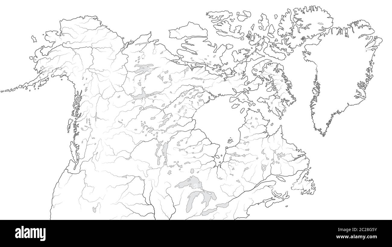
World Map of CANADA and NORTH AMERICA REGION: America, Canada, Greenland, Alaska. (Geographic chart).

RMID:Image ID:2C28G5Y
Image details
Contributor:
Zoonar GmbH / Alamy Stock PhotoImage ID:
2C28G5YFile size:
65.9 MB (1.2 MB Compressed download)Releases:
Model - no | Property - noDo I need a release?Dimensions:
6400 x 3600 px | 54.2 x 30.5 cm | 21.3 x 12 inches | 300dpiDate taken:
June 2019Photographer:
Zoonar/Aleksander NikolaenkowMore information:
World Map of CANADA and NORTH AMERICA REGION: America, Alaska, Canada, Greenland, Labrador Peninsula, Arctic Archipelago, Great Lakes. Geographic chart with oceanic coastline, islands and rivers.