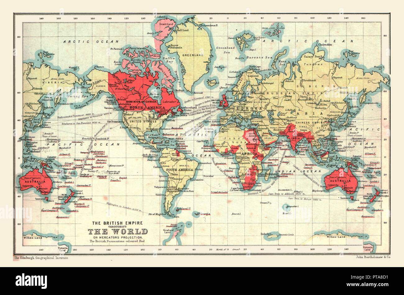
World Map showing the British Empire, 1902. Creator: Unknown.

RMID:Image ID:PTA8D1
Image details
Contributor:
The Print Collector / Alamy Stock PhotoImage ID:
PTA8D1File size:
47.5 MB (2.5 MB Compressed download)Releases:
Model - no | Property - noDo I need a release?Dimensions:
5000 x 3317 px | 42.3 x 28.1 cm | 16.7 x 11.1 inches | 300dpiDate taken:
1902Photographer:
The Print Collector/Heritage ImagesMore information:
This image could have imperfections as it’s either historical or reportage.
World Map showing the British Empire, 1902. British possessions coloured red. From The Century Atlas of the World. [John Walker & Co, Ltd., London, 1902]