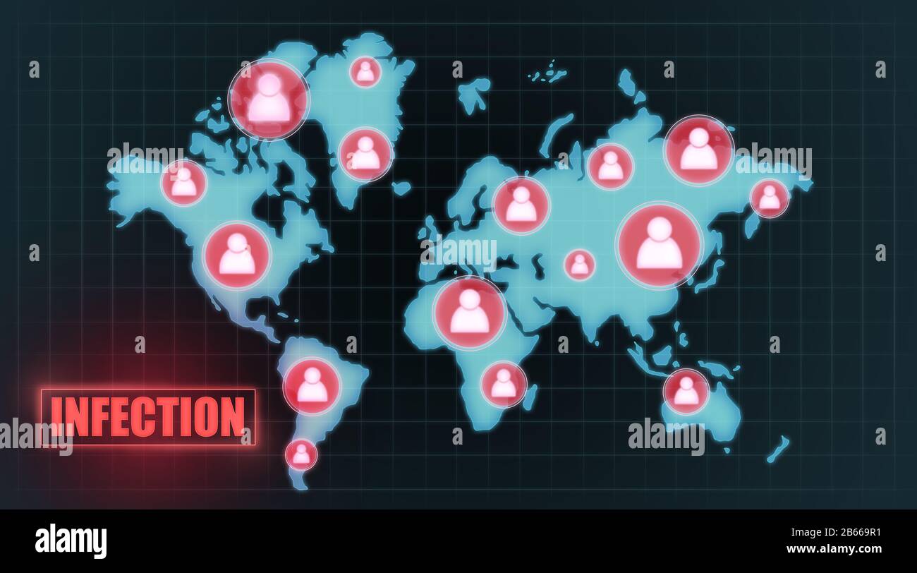
World map with infected quarantine zones illustration
RFID:Image ID:2B669R1
Image details
Contributor:
Prostock-studio / Alamy Stock PhotoImage ID:
2B669R1File size:
113.8 MB (1.3 MB Compressed download)Releases:
Model - no | Property - noDo I need a release?Dimensions:
8460 x 4700 px | 71.6 x 39.8 cm | 28.2 x 15.7 inches | 300dpiDate taken:
4 November 2019Location:
UkraineMore information:
Virus spread alert concept. World map with infected quarantine zones illustration